The High Peaks Wilderness Area, the largest Forest Preserve unit in the U.S. state of New York, is located in three counties and six towns in the Adirondack Park: Harrietstown in Franklin County, North Elba, Keene, North Hudson and Newcomb in Essex County and Long Lake in Hamilton County.
It is roughly bounded on the north by NY 3, the old Haybridge Road, which runs from Cold Brook to Averyville, the Adirondak Loj property at Heart Lake, the Mount Van Hoevenberg area and NY 73 near the Cascade Lakes. Private land to the west of Route 73 forms the eastern boundary. The southern boundary is formed by privately owned lands, including the Ausable Club, Finch, Pruyn, and Company, National Lead Company and the State University of New York College of Environmental Science and Forestry’s Huntington Wildlife Forest. This wilderness is bounded on the west by Long Lake and the Raquette River.
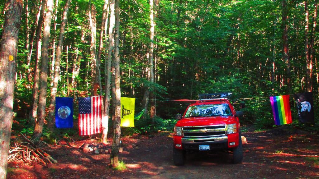
There is one significant inholding: the Johns Brook Lodge, a cabin and surrounding campsites operated by the Adirondack Mountain Club, 3.5 miles (5.6 km) along the eponymous trail and brook from the popular “Garden” parking area and access point near Keene Valley.
The area includes 112 bodies of water on 1,392 acres (5.6 km2), 238.4 miles (383.5 km) of foot trails, 52.3 miles (84.1 km) of horse trails, and 84 lean-tos. The area contains 36 of the 46 Adirondack High Peaks, including the tallest, Mount Marcy.
The topography ranges from small areas of low-lying swampland (e.g., along the Raquette and Saranac Rivers) to the highest point in New York State at the top of Mount Marcy. Although there is a considerable variety of topography, it is predominantly high mountain country. Like the topography, the forest cover also varies from pole-size hardwoods to mature, large diameter hardwood and softwood stands to the spruce-fir of the subalpine region.
I decided it was a nice day out, and I wanted to be able to say I had gone up to the tallest peak in the Catskills, at 4,180 feet. According to Wikipedia, it may actually be somewhat taller then that (as much as 4,200 feet), but they’ve never done a bench mark on the top of it.
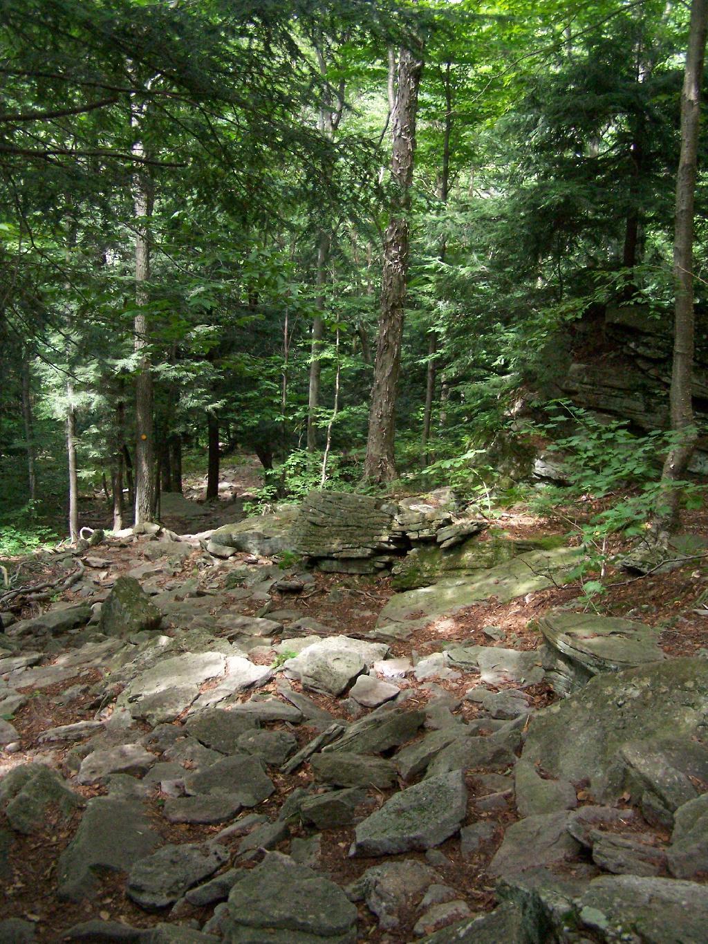
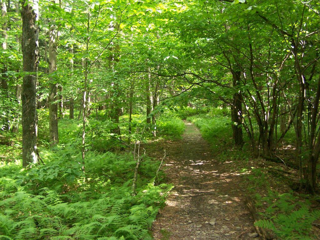
The first part of the trail is fairly steep.
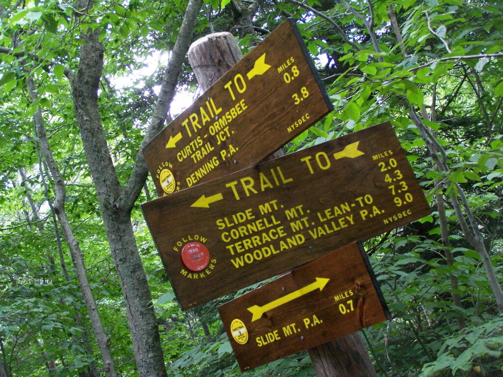
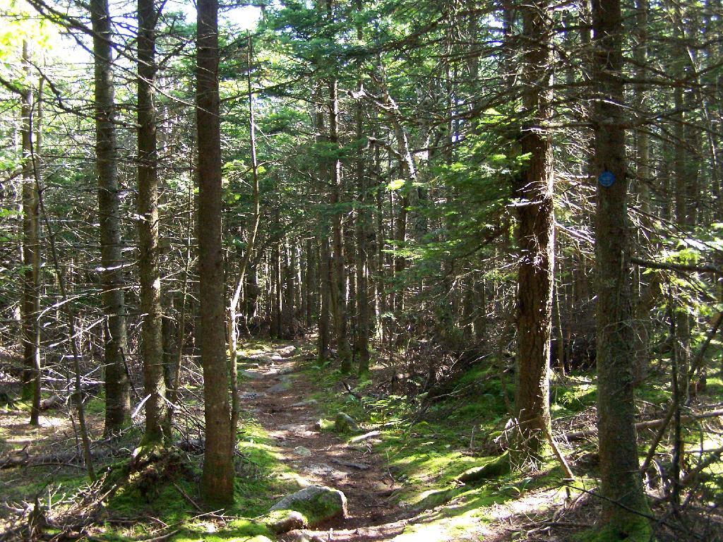
It climbs up to an old woods road, that is an easy walk and relatively flat, as it goes up to the Curtis-Olsbee Trail. You see the split between the old Jeep trail up Slide Mountain, and the the trail to Curstis-Olsmbee.
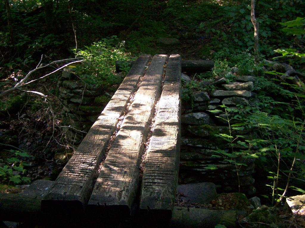
The trail crosses a high footbridge, without rails. It once was a full-size bridge for vechicles, but no more.
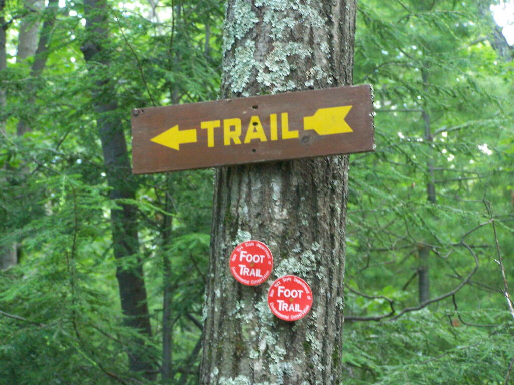
Reaching a historic marker of Curtis-Olmsbee Trail.
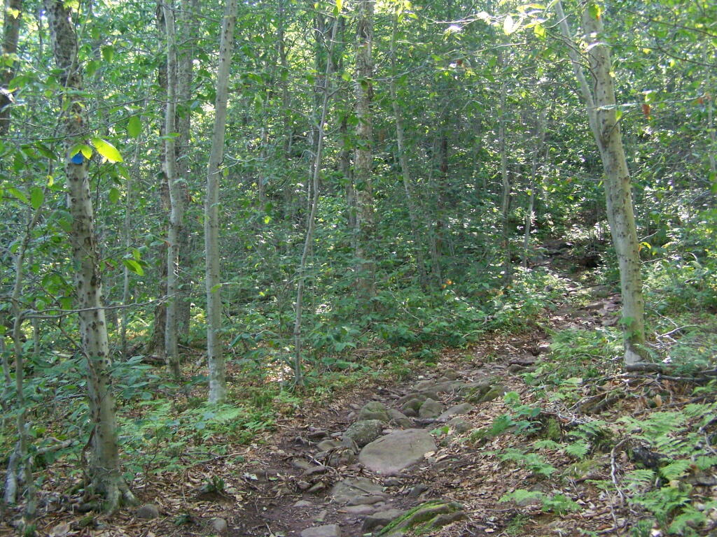
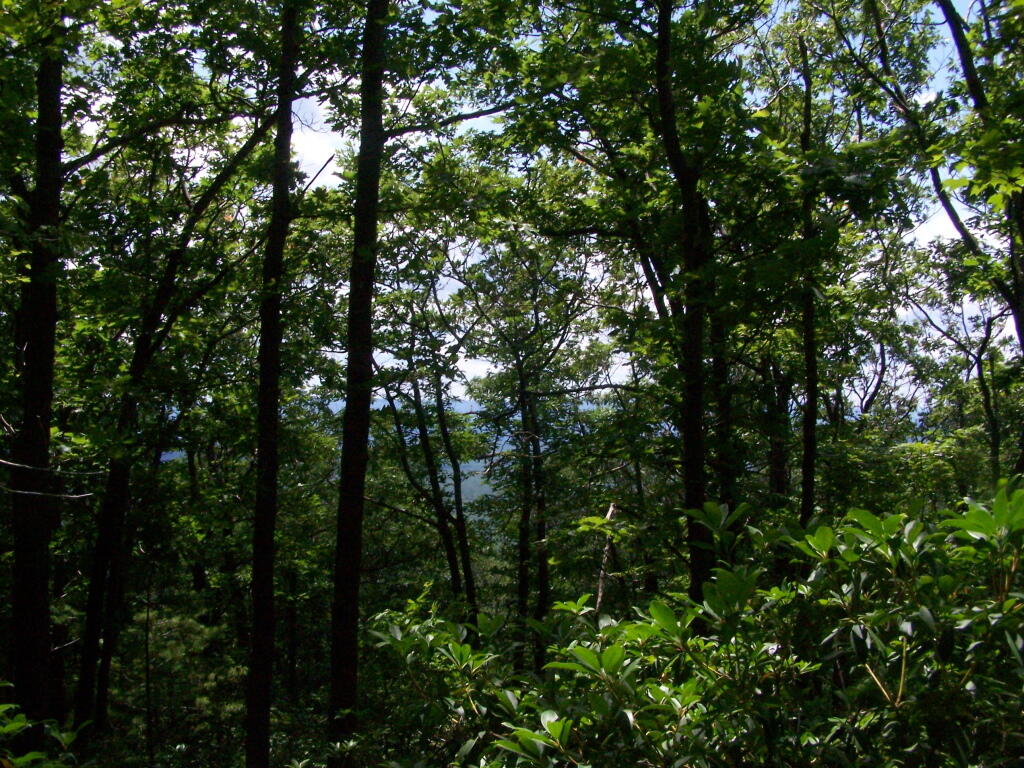
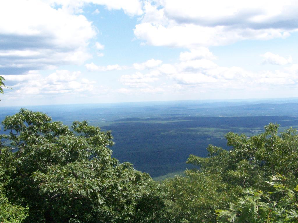
You climb, and then there are some places with views to South and West as you continue along. A few moderately steep places, but overall the trail is not super-steep.
The trail once you reach the first couple of views, remains relatively flat as you wander past several swamps and borreal forests.
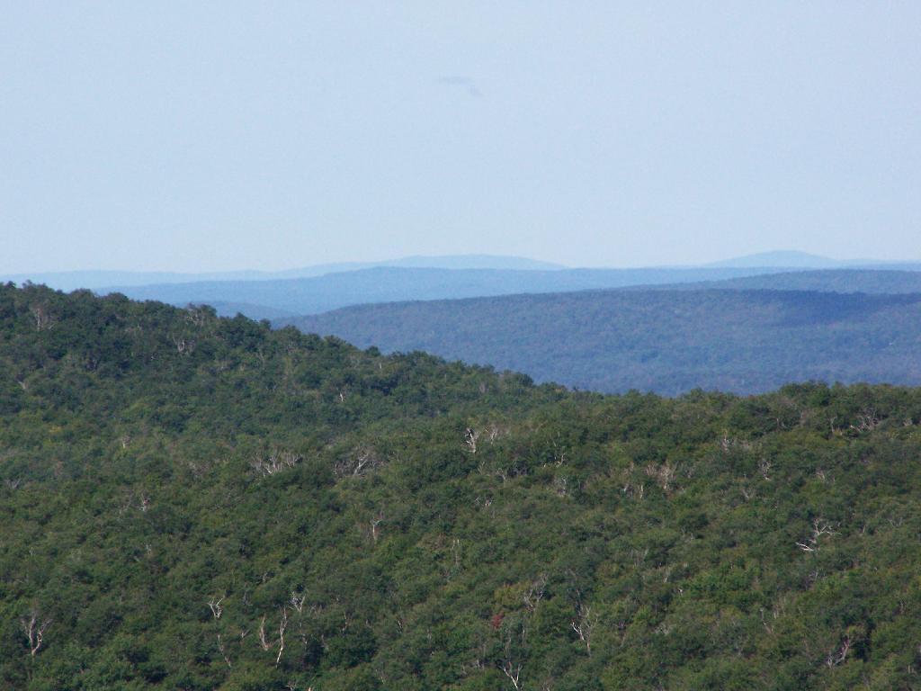
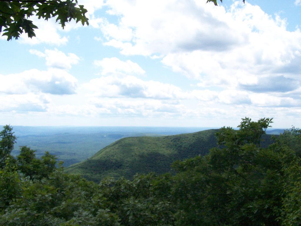
When you reach almost the top there is a point where you can see almost 70 named peaks.
Enjoying the mountains.
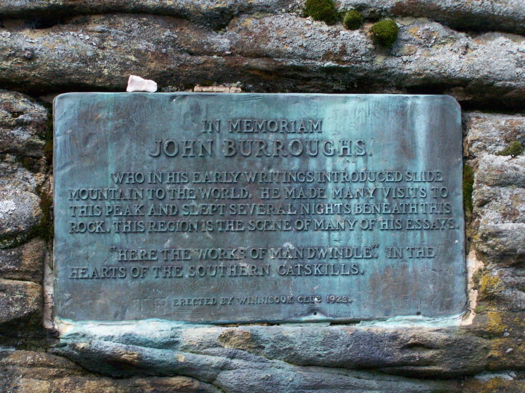
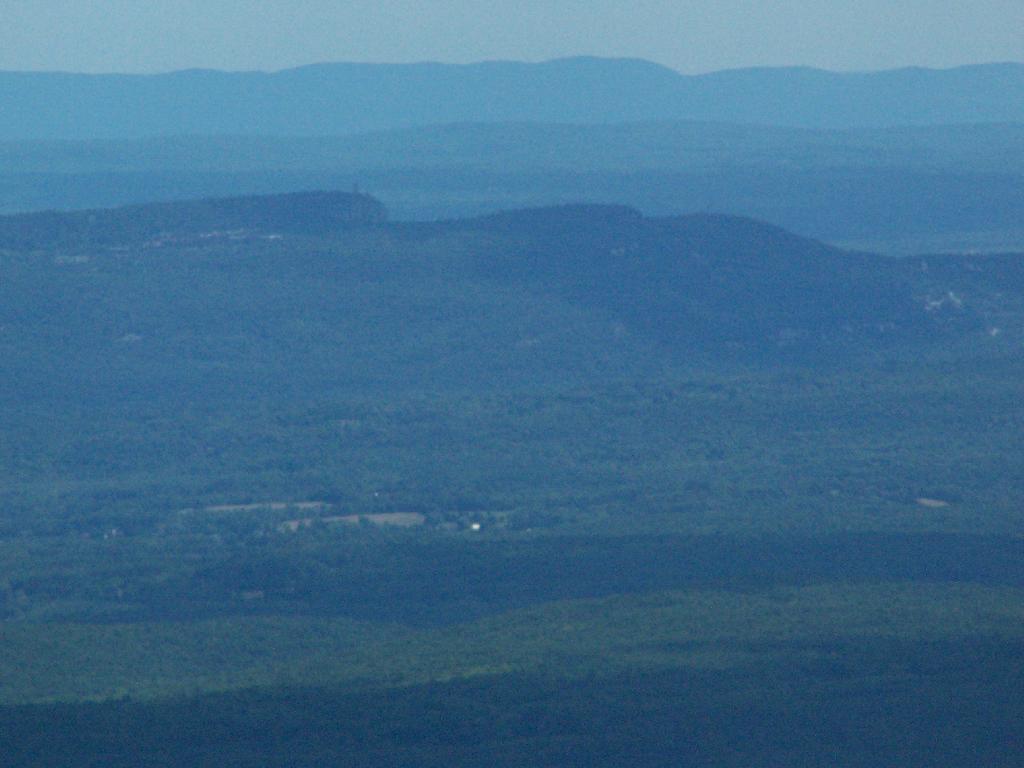
The top of the mountain is John Broughs Point. It has some interesting, partial views to the north and east.
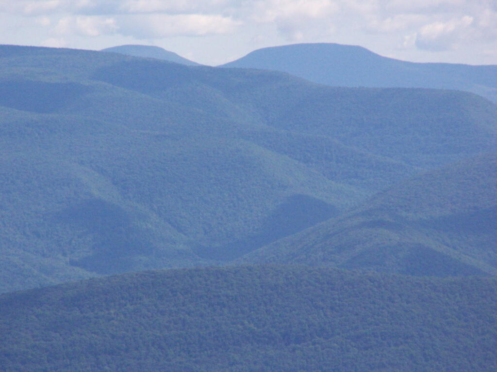
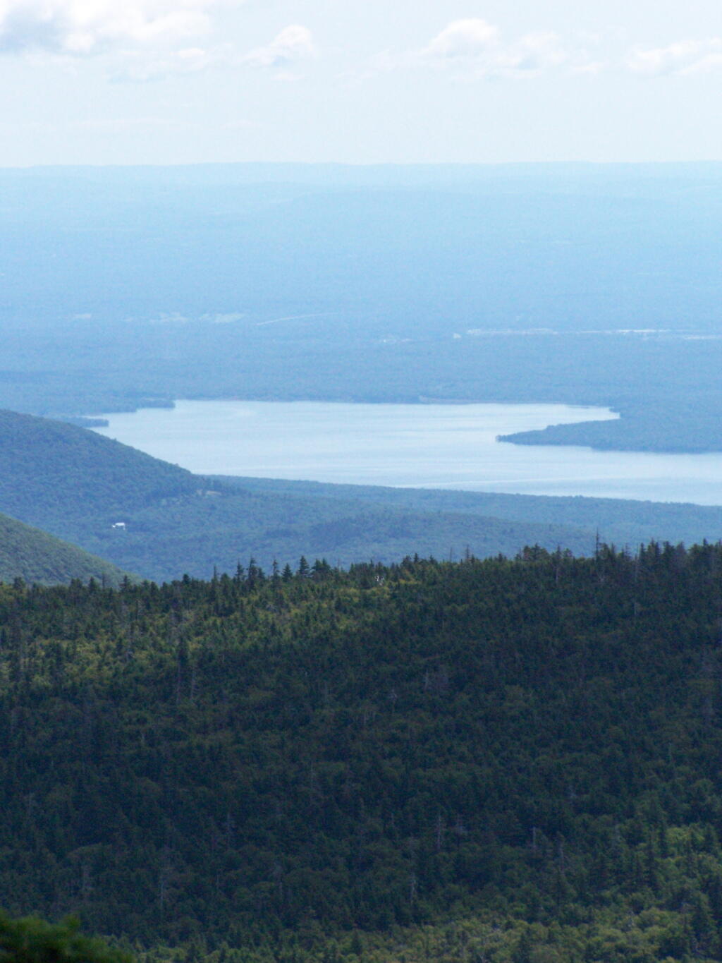
The Ashokan Reservior from Slide Mountain.
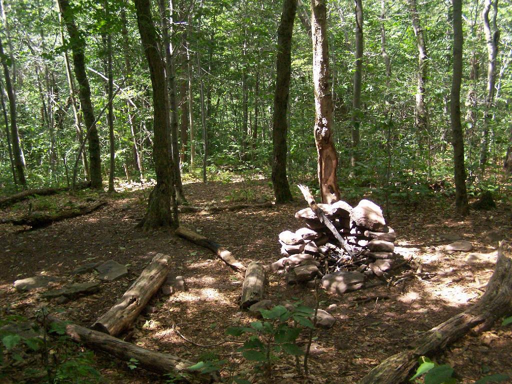
An established, primative campsite about 3/4 the way down the mountain or one mile from the Slide Mountain Parking Area.
Ashokan High Point is a mountain overlooking West Shokan and the Ashokan Reservoir, however due to trees the views to the east are limited. It is reached from a parking lot off of Ulster County Route 42, a windy low-speed road that lacks guardrail protection.
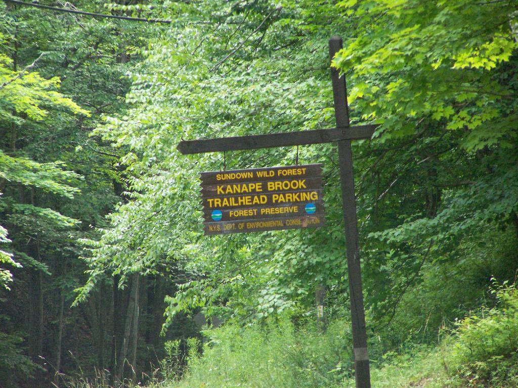
I visited this after doing Red Hill Fire Tower in another section of the Sundown Wild Forest, some 15 miles to the west (30 miles via road).
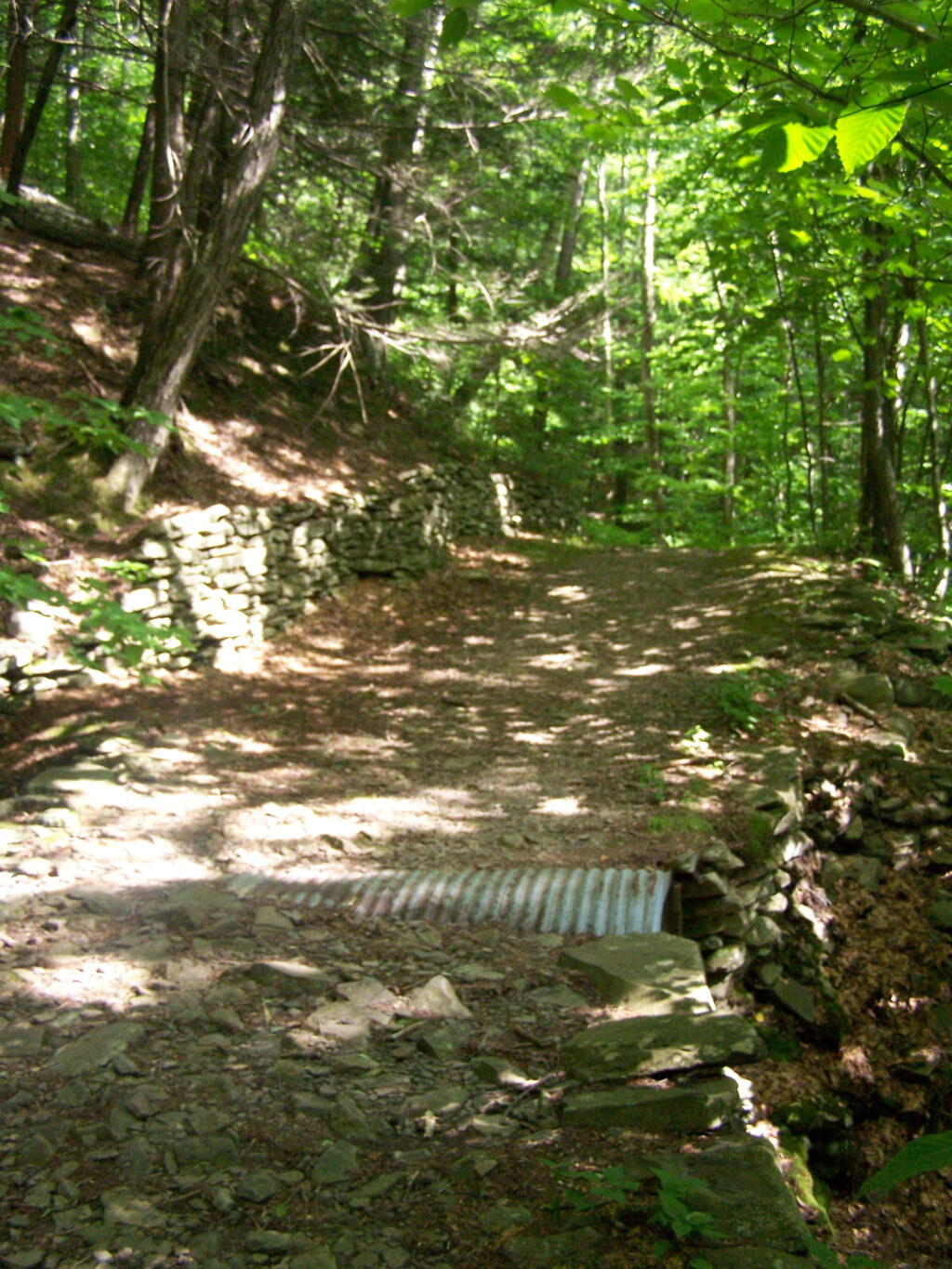
The first two miles up the trail is up an old woods road, that is relatively flat and a pleasurable walk along the Kanape Brook and in a deep clove between Ashokan High Point and Mombaccus Mountain.
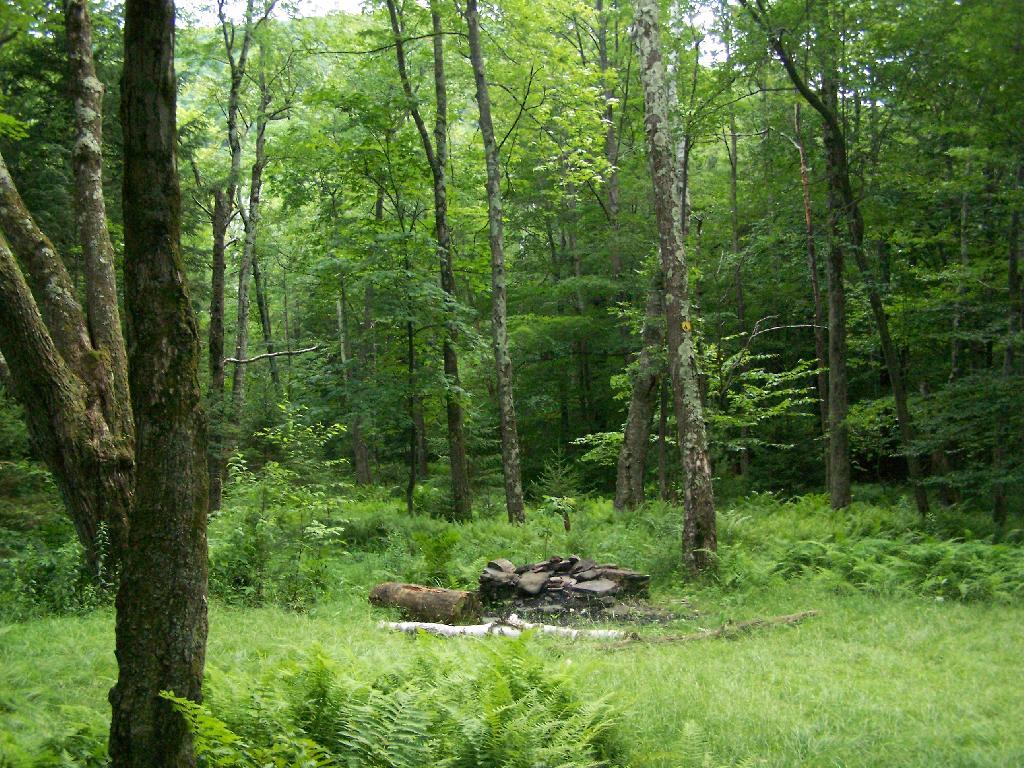
After you walk about a mile or maybe 45 minutes, you arrive at this nice little campsite right near the brook and the trail. It’s in a field, but has limited light for big portions of the day because the clove is so deep.
The trail seems a bit long at times, but this is the kind of delightful walking you experience. Markers are sparse along this section of trail, but if your following the old woods road it’s easier to follow.
You then reach the sharp turn off the old woods road, to where the trail splits to the upper loop. As you can see, the turn is well marked.From here on out, you gain about 1,000 feet over the next one mile. It’s quite a bit steeper, but nothing is hands and knees hiking.
As you start to do some serious climbing, you get partial views to the west.
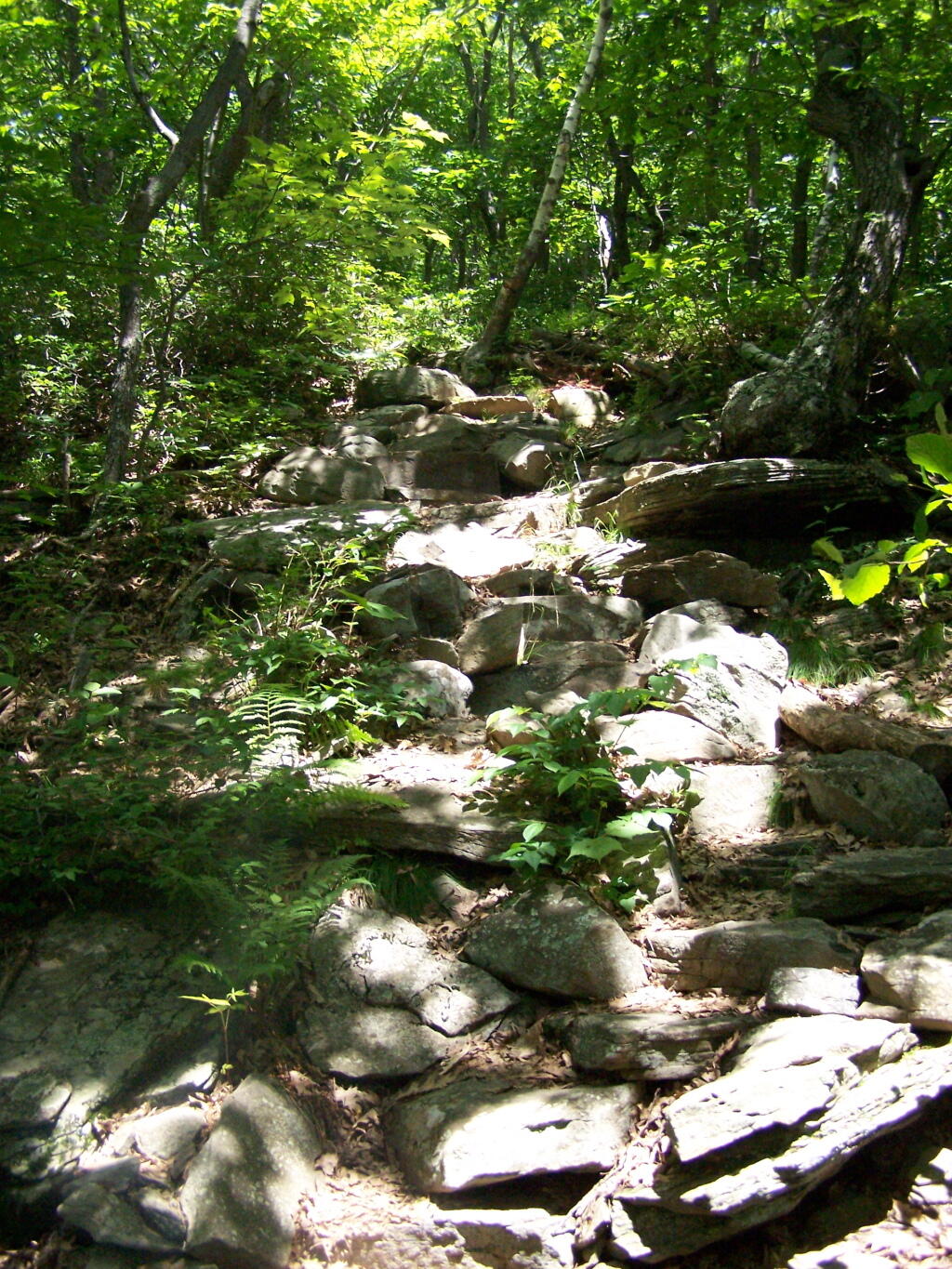
And the trail gets steeper for the next 1/2 mile. They have put in several rock steps to make the climb a little bit easier. Nothing that couldn’t be made by a child or a pet though, and no scary views/ladders.
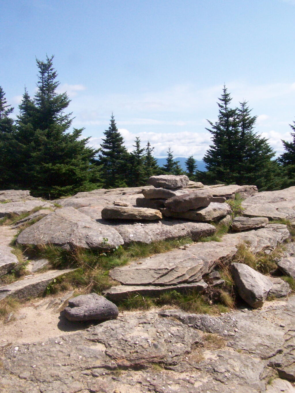
Once you are within a 1/4th mile to the top, you stop doing much climbing. If your caught in a storm, this rock offers some protection.
You’ve basically reached the top when you get this nice westerly view of Moccabus Mountain through the trees. You can stop over here, or continue to the top for better southernly views.
From the top, you have limited views looking south towards the Shawangunks, surrounded by trees. There supposedly is an unmarked trail you can take down to the “ledge” for 180 views. Without a good map, I decided not to proceed down to the ledge.
The Shawangunks, shrowed in haze. They are small compared to the Catskills but an interesting profile in the sky.
Along the top there is a trail that runs through a 1/2 mile of Blueberry fields. I was foruntate to be there when they where in season.
On the other side of the mountain, there is an informal campsite with fantastic views of the High Peaks Region of the Catskills.
The trail down the backside of the mountain is without views, and is less steep but much longer, and winds up and down a few ridges. Nothing really worth visiting — go back the way you came.
You return back to where the loop splits, and return back the trail you took up. It’s a 7.5 mile hike total, but a relatively easy one that you can do in a few hours in an afternoon, and not be totally exhausted.
Plateau Mountain, directly east of Hunter Mountain is one of the Catskill 3500 ft Mountains, but rarely gets much attention. It has a good trail up it, a bit a fairly steep one, that has wonderful southerly views, out towards Edgewood and many Catskill Peaks. It climbs about 1,900 feet in 1.8 miles — a good 20% grade, including several relatively flat places.
Once you reach the top, there is one section where you have to climb up hands and knees up two 4′ steps. Beyond that the trail is essentially flat for the next two miles. There some decent views over Tannersville and of the TriMount region of the Catskills. From there for the next mile and a half there are no views, as the trail wanders around properly lines until it reaches the easterly descent into Mink Hollow.
Not a lot to see once on top of the mountain, long and sprawling with dense forests. Regardless the various views are nice off this mountain, and it’s frequently overlooked as a mountain to hike in the Catskills.
It was a nice hike with some truly beautiful weather. The only mistake I made is I did not bring enough water. I was through 2 liters of water before I knew it. Still I conserved water and made it down safely by about 2 PM (I started up the mountain at 7:45 AM).