country

Rural Means Free

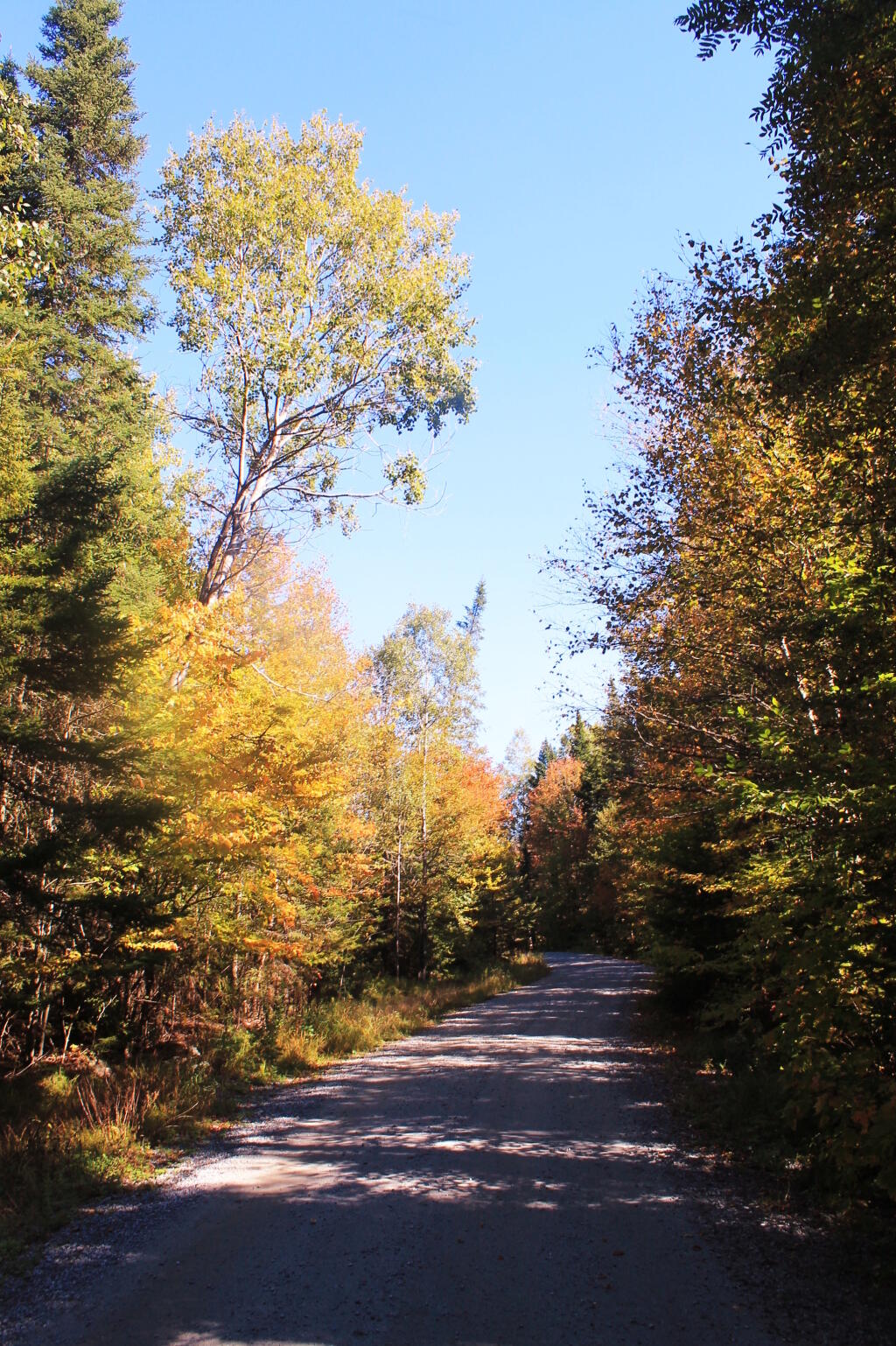
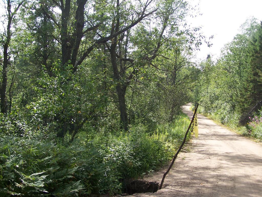
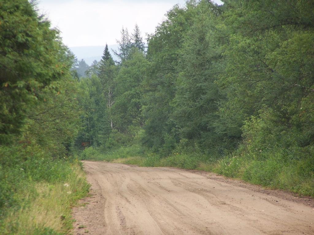
There are many state lands away from big cities that are relatively unrestricted in their use. They are so free only because they are largely unknown by the public and the lack of use means they can be used extensively without serious environmental damage.

The wear and tear by a few pickup trucks, quads, and horses seem minimal compared to the damage we see in far more restricted urban areas. I am inspired by Rural America and how little us humans have destroyed it compared to the big cities.

People can pollute more per capita and do far more damage then would be permissible if more people where out here. A truck can tear up a muddy trail pretty badly, but many people walking on one trail can do far more damage as witnessed in the Northern Catskills. People who live out here can have dirty diesel tractors, big gas-guzzling pickup trucks, and burn trash without significantly compromising their clean air or their quality of life. We could only wish that to be the case in the big city.

 Looking at the Lake

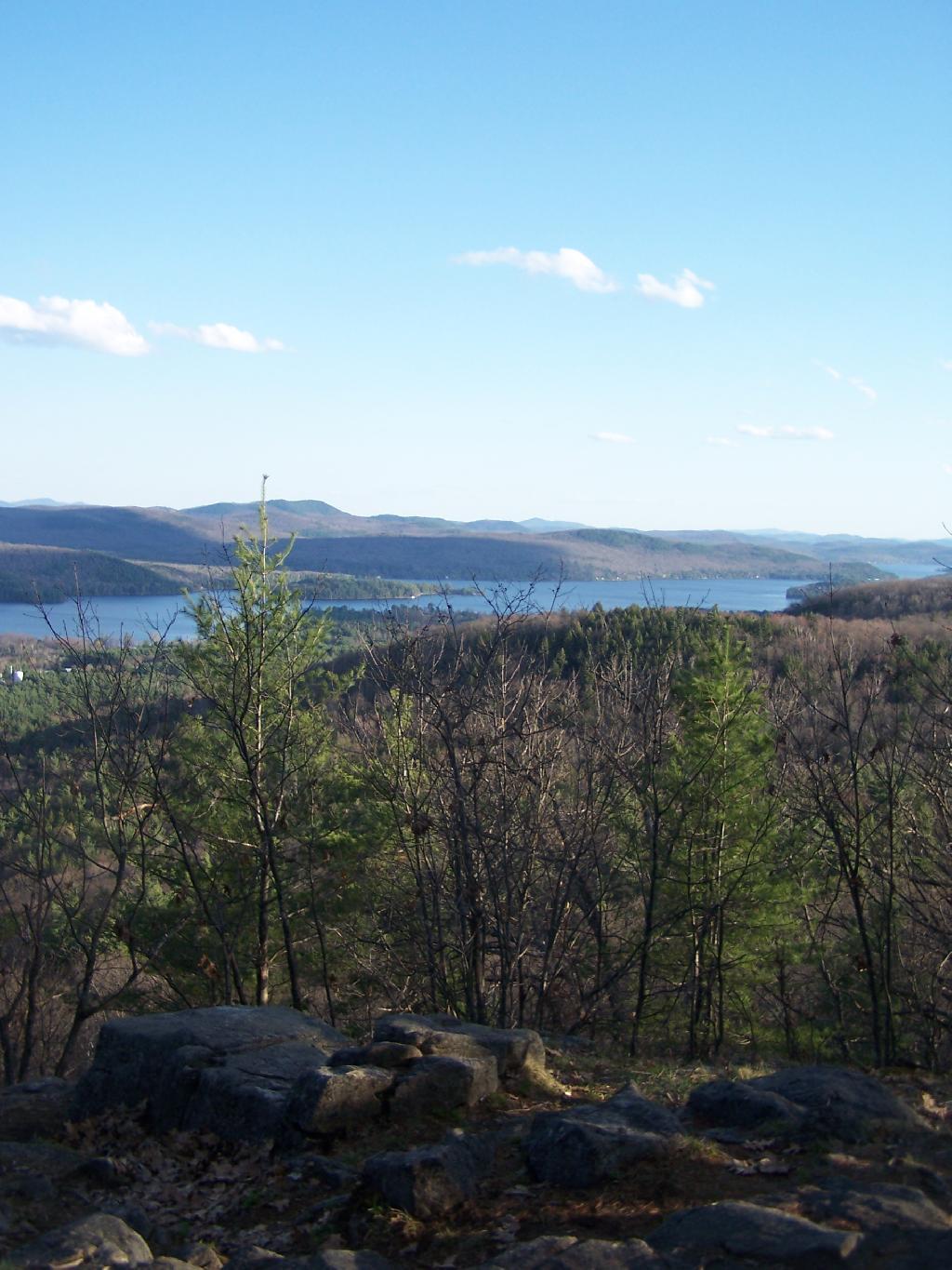
My biggest fear is what will happen when the cities expand further and further out into the country. What will happen with a new class of people coming out to enjoy the land? More people will ultimately mean more rules, less, freedom, and certainly no camping or four wheeling. The area won’t be as beautiful as farmsteads and forests get replaced by McMansions enjoying the mountains. What once was empty roads is increasingly becoming houses.

You just have to fear what it will mean when people come out here and settle the land. Outsiders will start demanding that we change, and that we start following their orders. Rural America might ultimately be the Pine Bush of the future a seriously compromised area that only is preserved for historical memories of the great beauty. Life in Rural America is nice now, but how will it be when country ain’t country no more.

It’s Not Fair That They Get To Burn Things

Pennsylvania has some of the loosest restrictions on open burning in most of it’s rural communities in the Northeastern states. People can and do have fires, and burn brush, trash, and all matters of things on their rural acerage.

Most folks down there heat with wood or coal. They burn there trash daily — and all of it including plastics — and dump out the unburnable bottles and cans in woods. Life is a non-stop opporunity to play with fire.

From the blackened trash burning barrels, to the black smoke rising behind the houses, to the flicker of flames, the smell of burnt plastic rising in air. Good ol’ fire.

 Flames

I wish I could burn things like they do get to down in rural PA…

Moose River Plains Maps (September 2011)

This past week, I decided to re-do the Moose River Plains Maps I had previously rendered in QGIS. I got some new data from the DEC, and wanted to simply the existing maps by taking off Wilderness Boundaries, and other details not of particular interest to hikers, campers, and kayakers. I also removed campsites that are in process of being removed or relocated under the finalized Unit Plan for the area. Be aware that the elevation on these maps is metric, as that’s what the NYSDOT Topographic Maps use in this region.

Click on any of the maps to display the high resolution version, that you can download and save, or print. Laser printers are great, especially for the Cedar River Flow Maps, as they’ll keep the ink from the running. All of these maps are free for you to use and distribute as they are based on public data. If you have ideas on how to improve these maps or seek similar maps of the area of other trails or locations, please feel free to contact me at andy@andyarthur.org.

There is no charge to camp here, however if you plan on staying more then 3 nights, you will have to a get a free permit from the forest ranger. Most campsites offer picnic tables, fireplaces or rings, and outhouses. Moose River Plains are all back country dirt roads, with a speed limit of 15 MPH, and there are some rough sections on the roads. As of September 2011, all of the roads shown on these maps are open.

Moose River Plains Camping Area.

Roads are red, hiking trails are black dotted lines on the map. All of the campsites in pink shaded area (“Moose River Plains Camping Area”) offer vehicle accessible camping including RVs and other tow-behind campers. The campsites outside of the “Camping Area” — specifically those on Otter Brook Road — will in the future be reserved for tent camping (most with vehicle accessability) except during Big Game Season when campers will be allowed at all sites. Most of the other trails with campsites on them offer wheelchair or mountain bike accessiability, as they tend to be gravel paths.

 Clouds Closing In On The Catskills

Moose River Plains Campsites.

Note: Campsites are numbered starting from the east, as you are coming from Cedar River Flow, heading towards Limekiln Lake. Many campsites have been closed or added over the year, and that’s why there are many gaps in the numbering system.

 Almost To Bus Stop

Beautiful day

 Summer Evening

muni-pop-percent

 Canastota Gorge

 Almost To Bus Stop

Cedar River Flow and Wakely Dam.

Cedar River Flow is a popular destination at Moose River Plains. In many ways it’s the gateway to Moose River Plains, as you reach Wakely Dam, which holds back the waters of Cedar River Flow as one of your first destinations heading West on Cedar River-Limekiln Lake Road from Indian Lake.

The Cedar River Flow is a popular lake for canoeing and kayaking. There are several designated and undesignated campsites along Cedar River Flow, with the designated ones shown on the map. There are also a handful of campsites, closely grouped together at Wakely Dam. The Cedar River is navigable for several miles upstream, and some people will paddle to the Lean-To on Sucker Brook Trail.

Cedar River-Limekiln Lake Road

 Winter

Wakely Pond and Wakely Dam Areas.

Along the Northville-Placid Trail near Wakely Pond there are several designated tent campsites. A map of Wakely Pond-Wakely Dam Areas, and the rapids downstream of the Cedar River Flow.

 Wilcox Lake

Wakely Mountain Firetower.

By far one of the most popular destinations in the area is the Wakely Mountain Fire Tower. It offers truly spectular views of Moose River Plains, Blue Ridge Wilderness, West Canada Wilderness, Fulton Chain of Lakes, and even the High Peaks.

Same-Sex Households by Congressional District

Other Popular Hikes.

 Blueberries

Duck

Clockmill Corners to NY 10

Climate Change, DEC, and Cedar River Road

Like thousands of New Yorkers this past year I have been seriously bummed out on how Cedar River-Limekiln Lake Road from Wakely Dam to Lost Ponds was washed out for the first three months of summer season. It probably was the first time Cedar River-Limekiln Lake Road was closed off for such a long period in summer time — due to springtime flooding and severe erosion and bridge scour — combined with a very tight budget for the Environmental Conservation Department.

Washed Out Road to Wakely Mountain

It seems the list of damaged or still closed roads throughout the Adirondack Park is long this year. Haskell Road is closed. Lester Flow Road and Woodhull Lake Road are rough and badly eroded. Maybe it’s just a bad year, and DEC Division of Lands and Forests is unfunded, and they lack the staff and fuel budget to fix things promptly. Or maybe it’s a more ominous sign — that DEC needs to rethink it’s road construction practices to reflect a changing climate, with heavier rains and more erosion.

Washed Out Section of Cheney Pond Road

As the average temperatures increase in the summer, there is going to be more demand then ever before for recreational access to the Adirondack Park. Yet, the danger is not from increased vehicle traffic, but instead erosion and bridge scour from flooding and increased heavy rains. Simply said, it may come to the point where Adirondack Park back country roads need to be built to a higher standard, with more reinforcement from wash outs.

Wash Out Along Otter Brook Road

That does not mean the end to the dirt or gravel truck trail. It does mean, around streams there is going to have to be more riprap and other course rubble rock to prevent erosion and bridge scour. Courser gravel is going to have to be used on steeper slopes, or maybe a mixture of tar and gravel to keep things in place. While blacktop may seem like the anti-thesis to the back country, it might be necessary in limited stretches to keep things in place, on road surfaces most pounded by the forces of erosion.

Sandy Plains

All of this will escalate the cost of maintenance of back country roads. Yet, the cost of improving back country roads before future cases of erosion, will ultimately save money and improve the public’s experience. Repairing roads to a higher engineering standard makes a lot of sense as the Adirondacks experience increased flooding and erosion from climate change.