November 7, 2009.
December 19, 2010.
February 5, 2009.
February 27, 2011.
March 27, 2011.
April 17, 2011.
May 2, 2009.
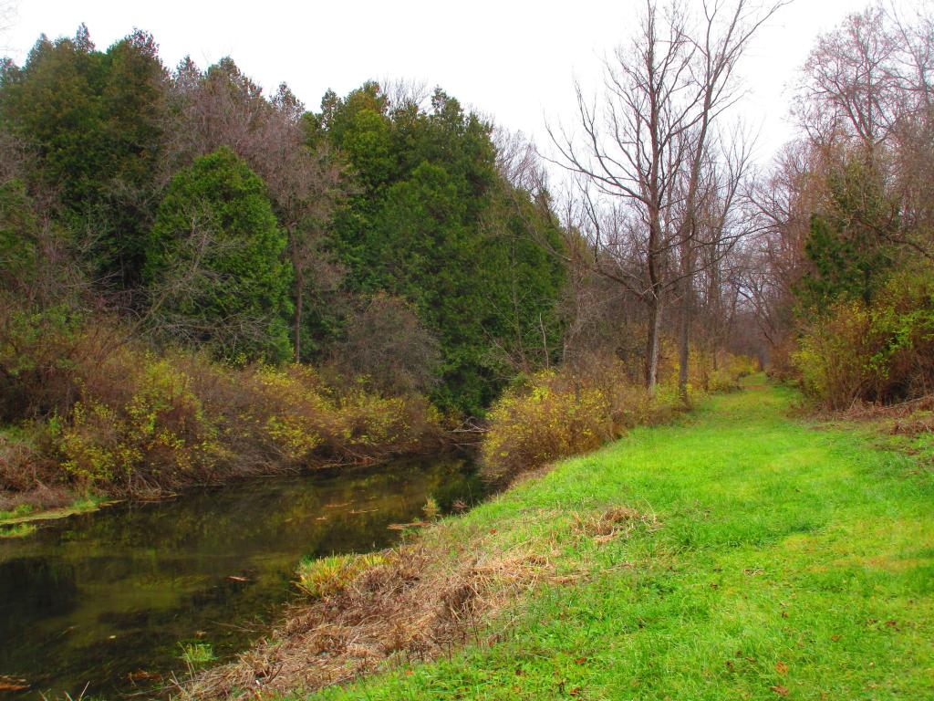
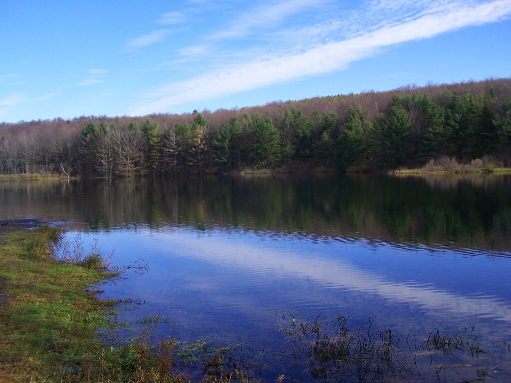
I don’t know about you, but I am getting awful tired of the cold. Winter seems to drag on much too long. But to remind us that there is such thing as hope, and that it will be really nice out in a few months, a few warm weather pictures and memories will help.
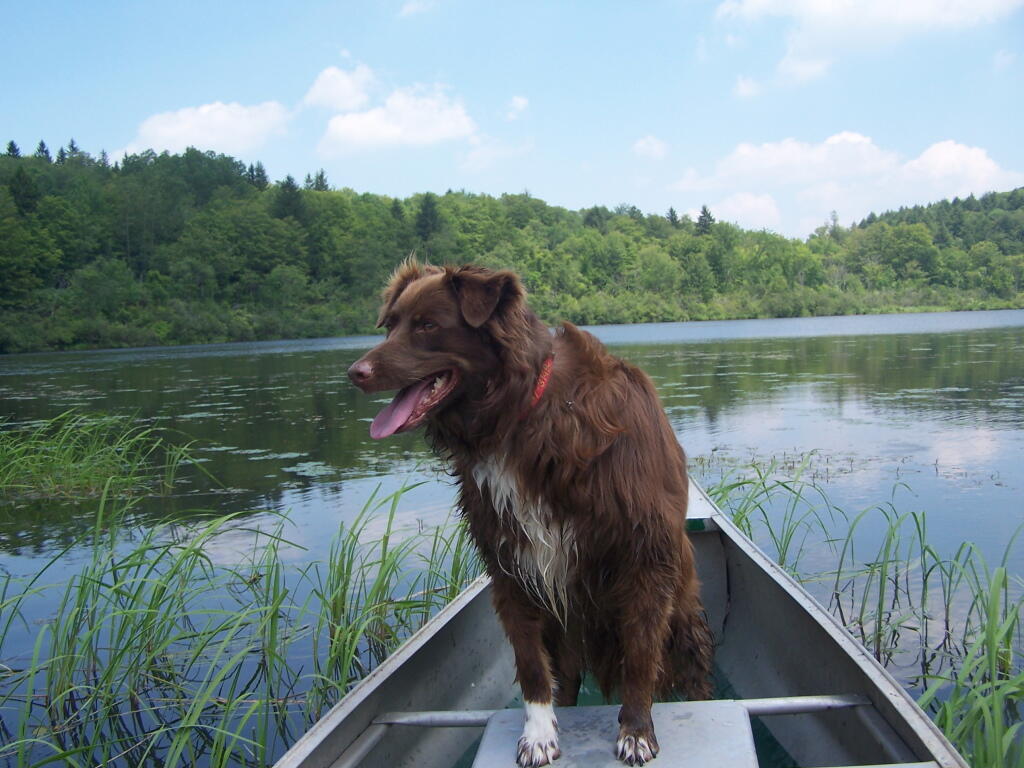
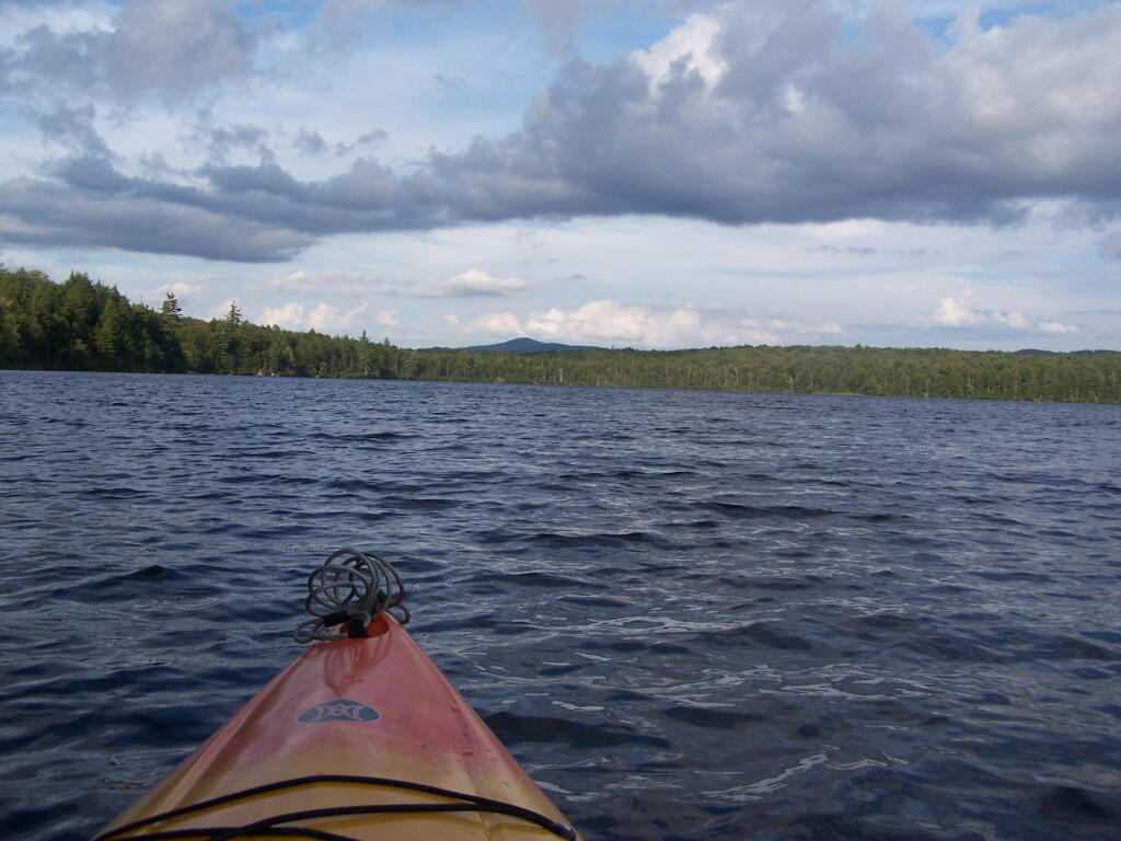
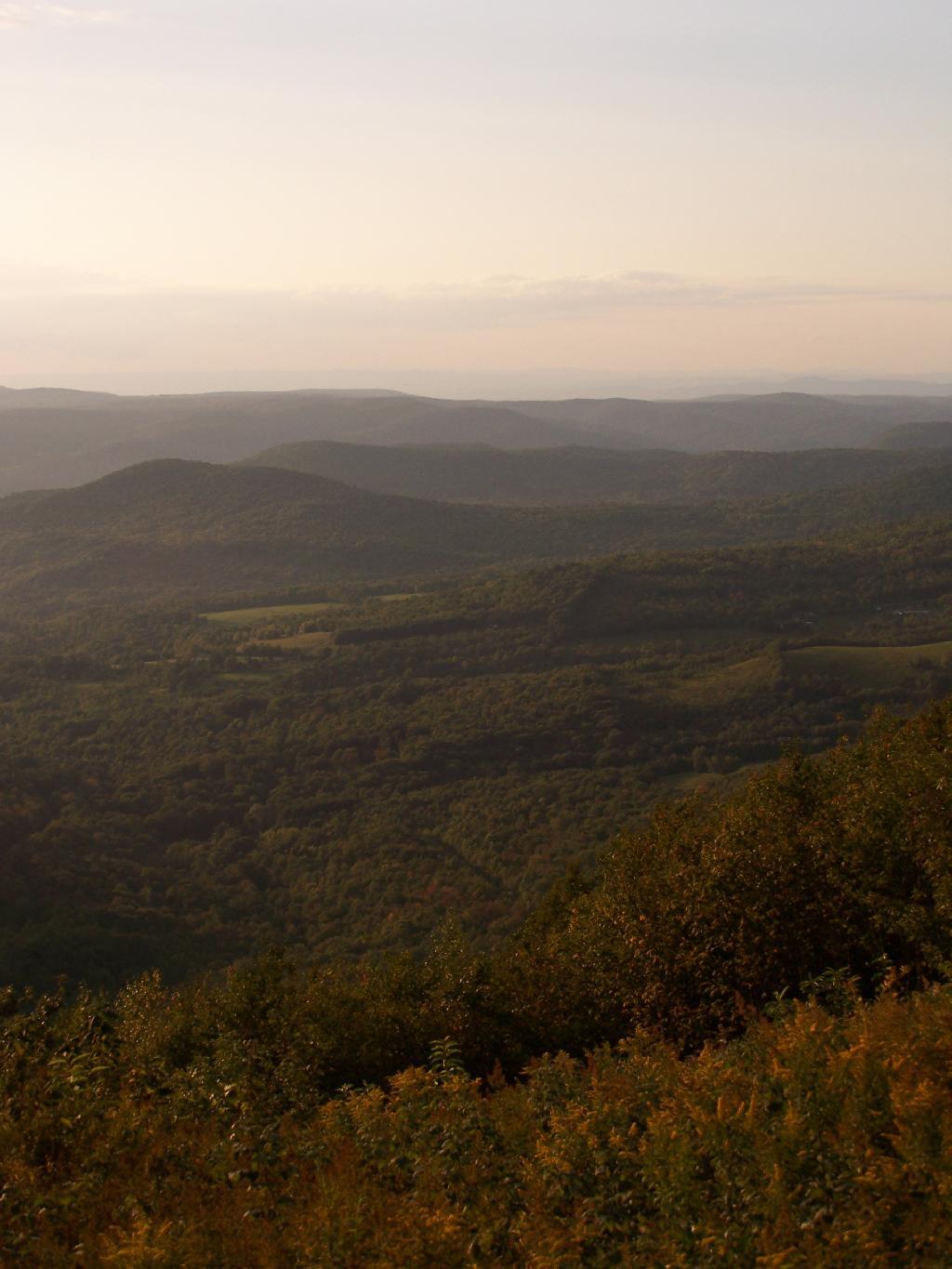
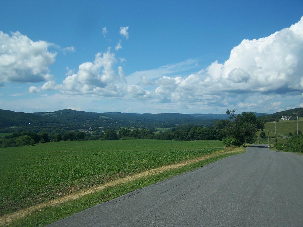
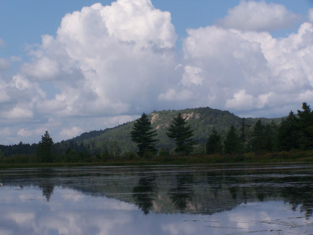
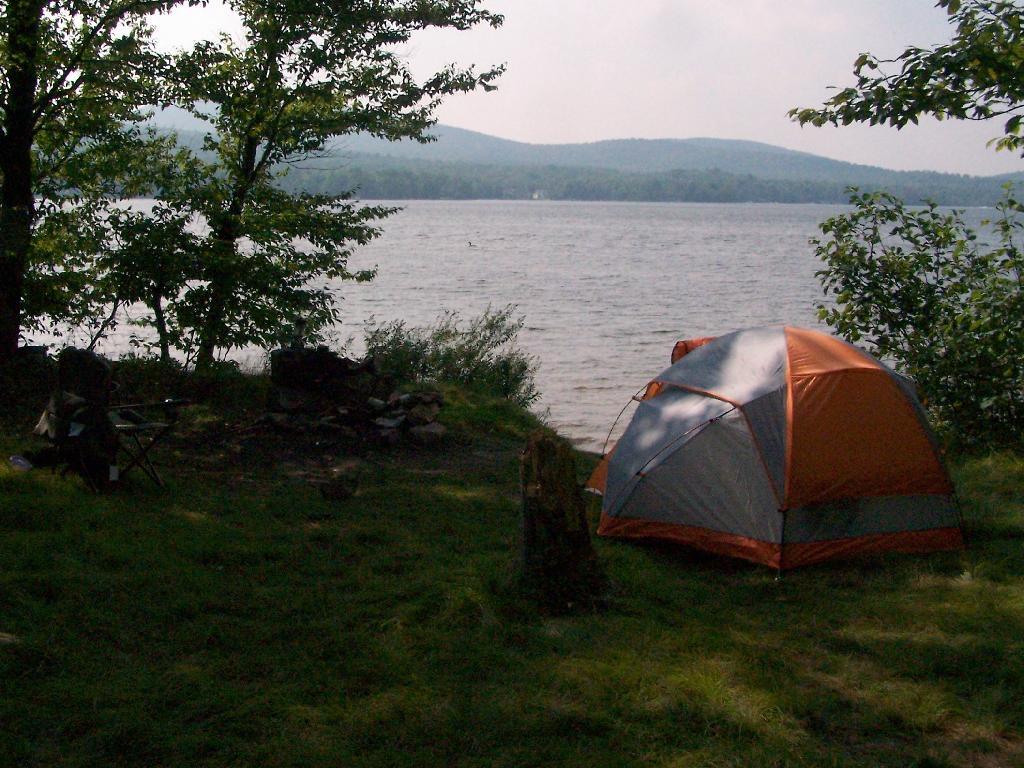
The important is to remember that summer will come eventually, and it will be so amazing as always. Just count down those winter days, and focus on the warmth of summer.
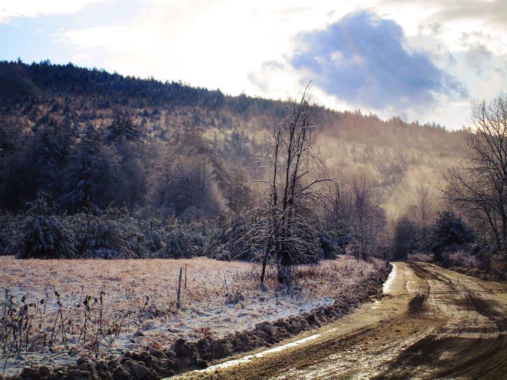
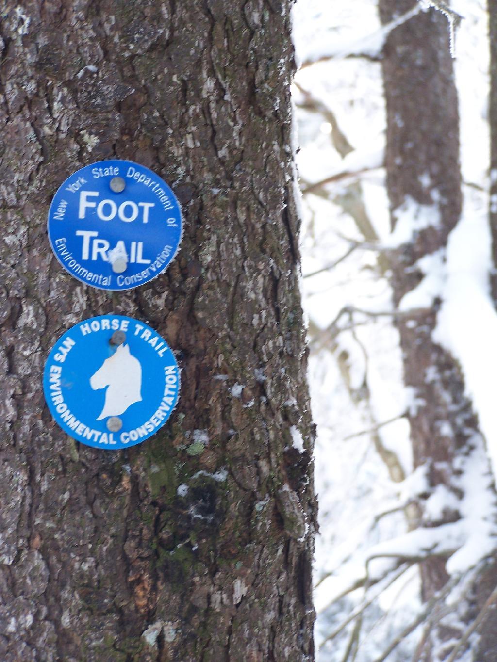
Stoney Pond State Forest is located in the highlands between Morrisonville and Cazenovia, and includes a camping area that requires a free permit in the summer. I camped there on November 7, 2010 on a very cold morning.
Waking up truck camping in November meant morning came real early, especially because I had to get going with night approaching fast. This was campsite number eight under the morning light. All of the campsites at Stoney Pond had these great round fire rings.
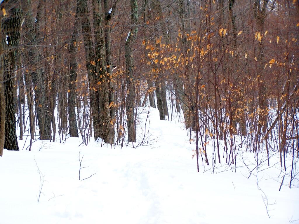
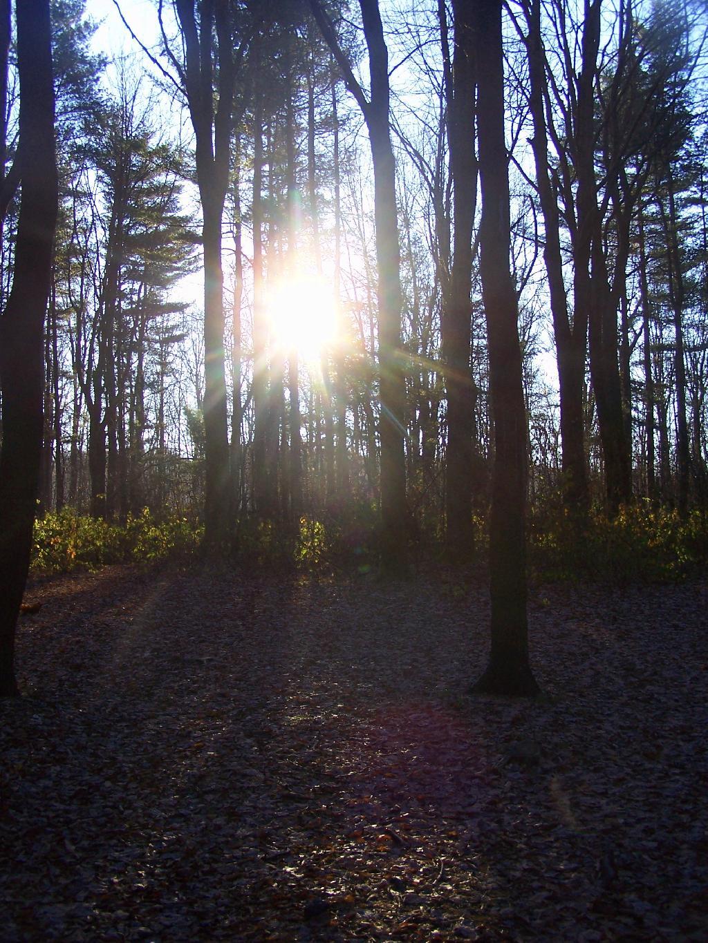
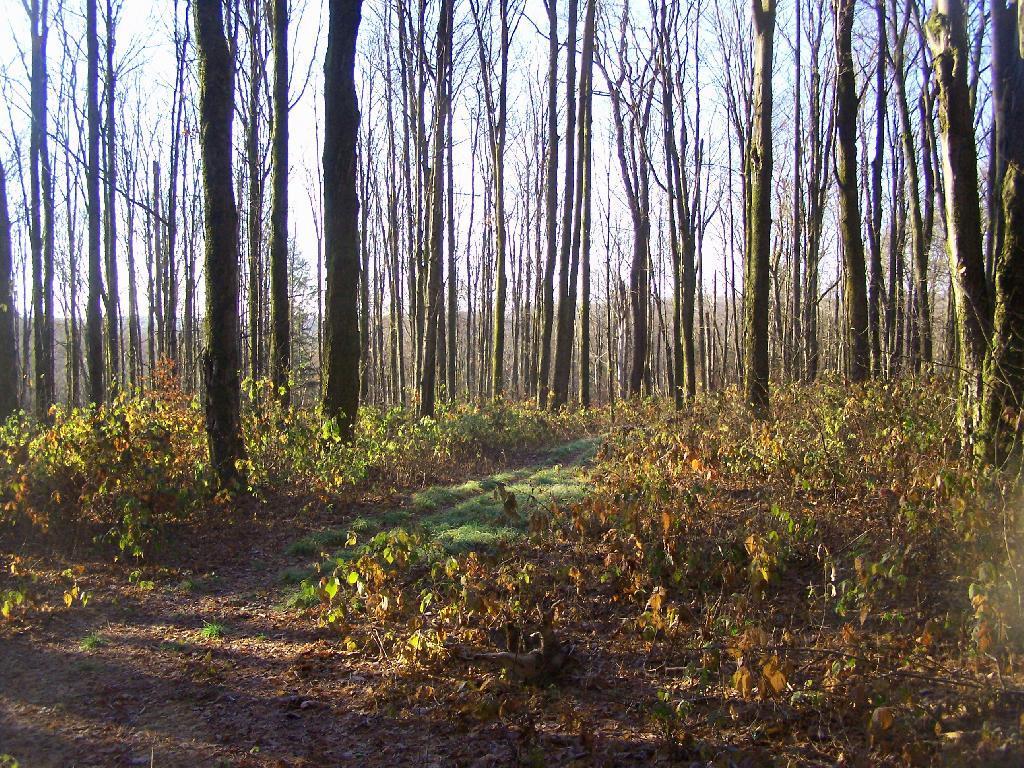
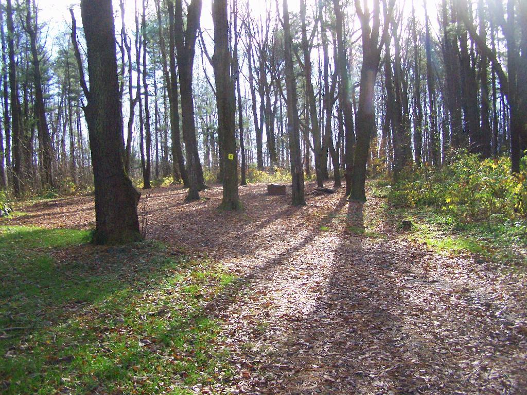
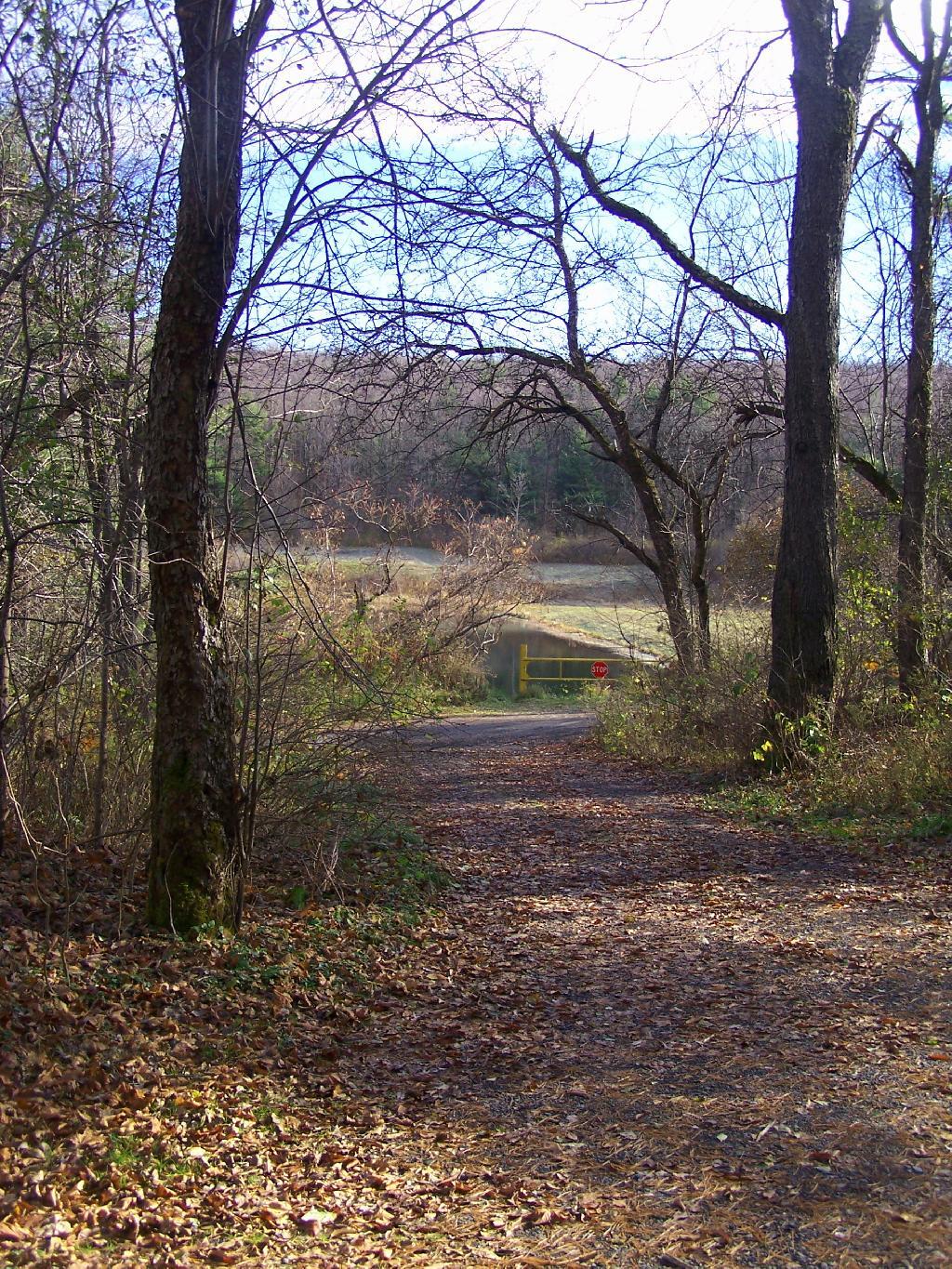
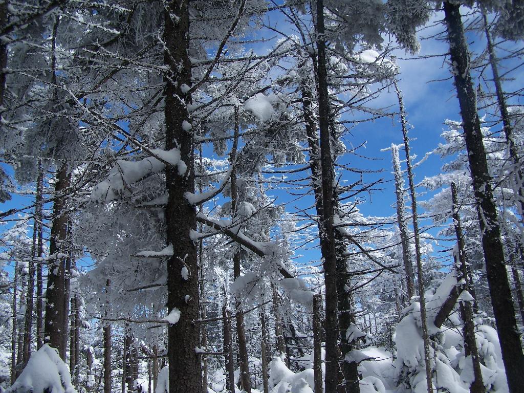
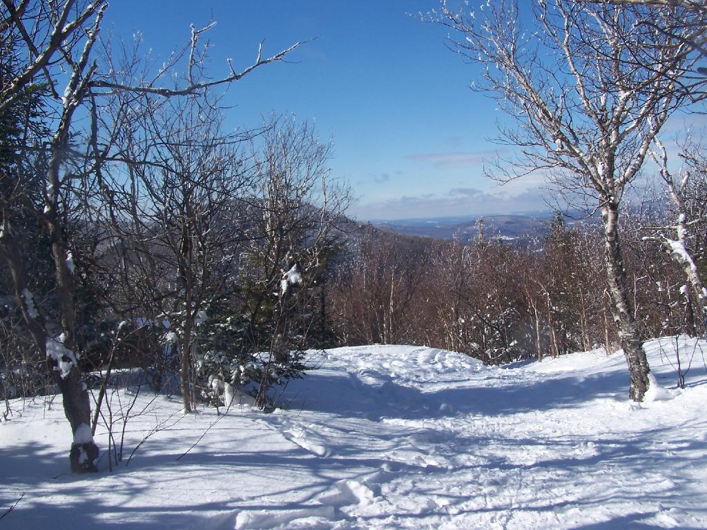
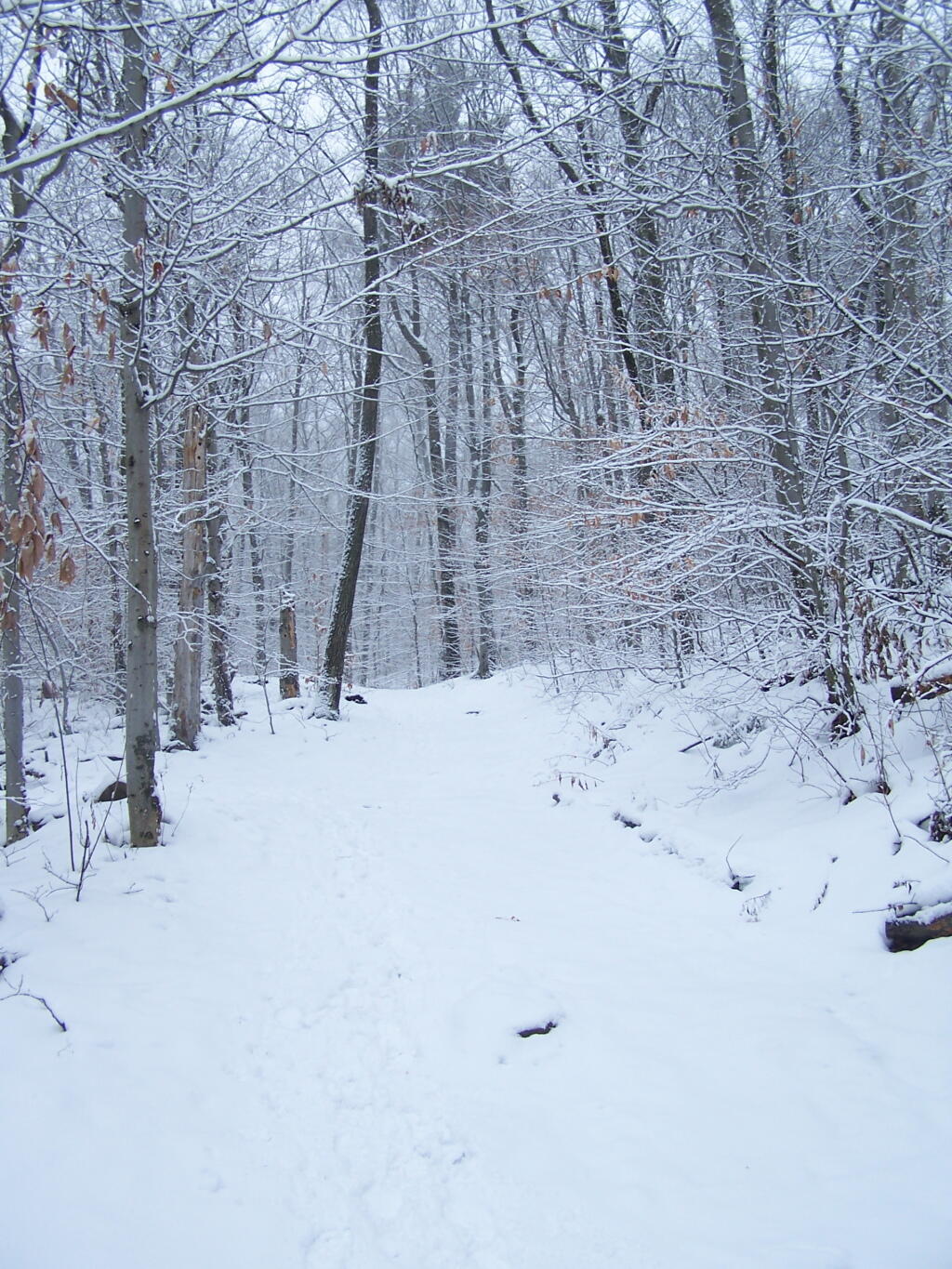
Walking Through The Woods. There isn’t much in the way of leaves on the trees right now.
Frost on the Leaves.
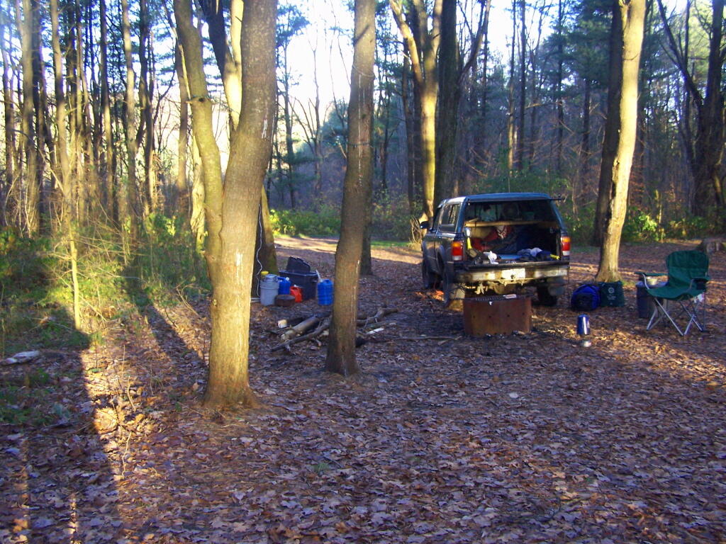
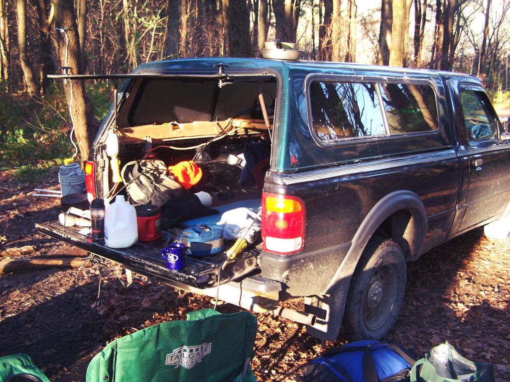
Truck Camping. In the morning, having my cup of coffee and getting ready to face the day’s adventures. I need to get a table, so I don’t have so much clutter on my tailgate — there are no picnic tables at Stoney Pond.
Icy Ruts. It was that cold in the morning that muddy ruts up there iced up.
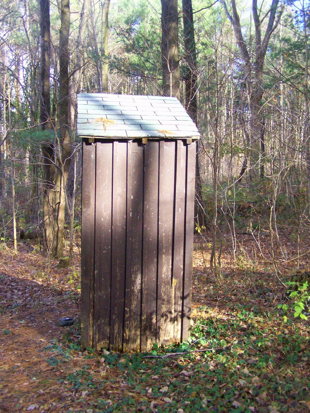
Outhouse. In the summer months they also have port-a-poties down by other campsites.
Campsite 8. This is where I camped at, as seen from the road. I liked this site a lot because it was well set back.
Campsite 4. Another really nice campsite, although a bit closely spaced.
Path Down to Stoney Pond. There is a road that goes down to Stoney Pond for those wanting to launch a boat into it.
Stoney Pond. On on side, there is a sandy beach/boat launch.
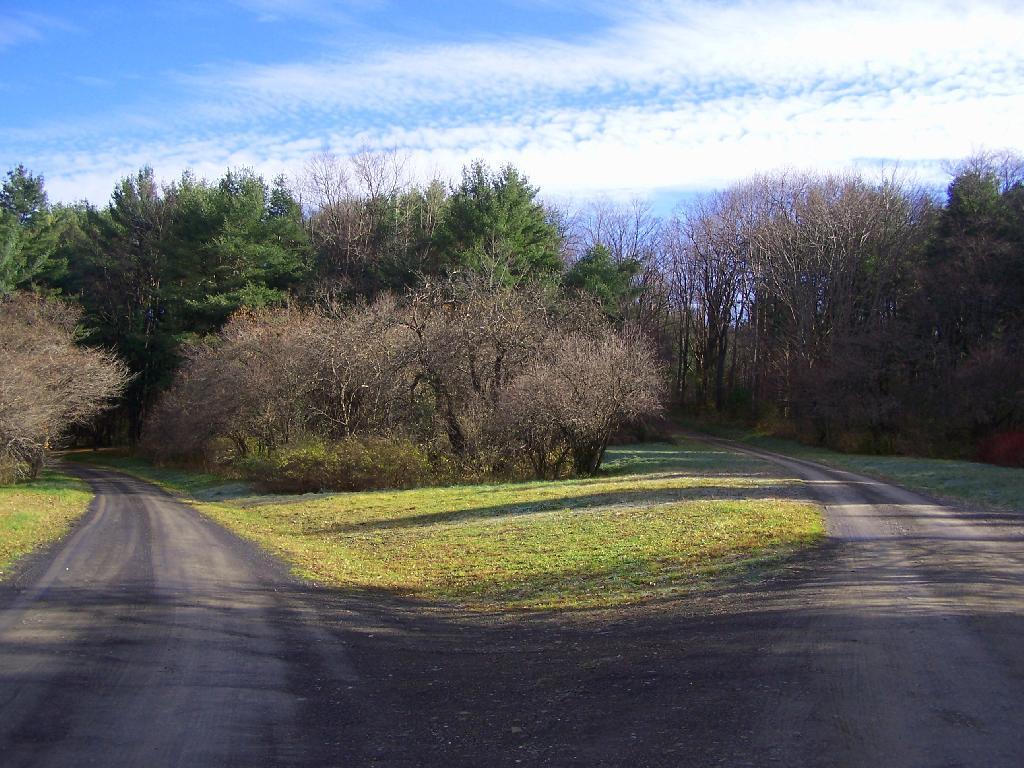
Campground Roads. There is no charge to camp here, although they want you to call the forest ranger for a free permit in the summer to control usage.
Campsite 1. Not a very nice campsite, but I guess if you want a drive to place where you can camp, and other 15 sites are full, it can be used.
Here is a map of the Stoney Pond Camping Area.
Here is the State Forest Map.
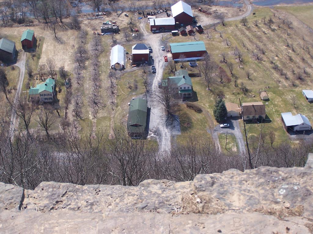
Arterial photo of the area.
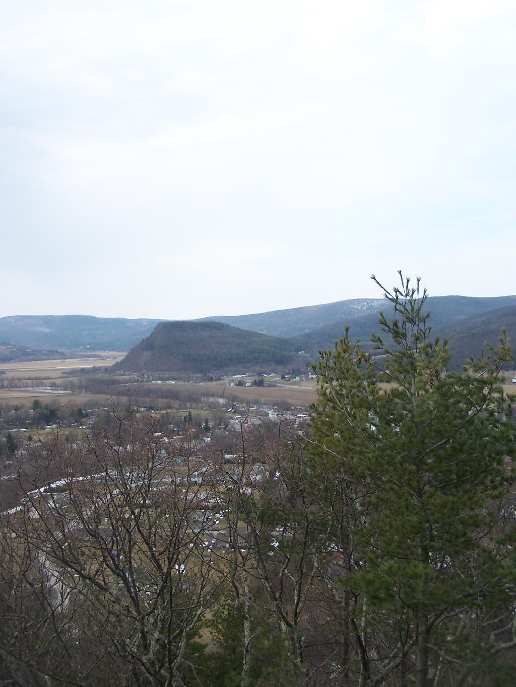
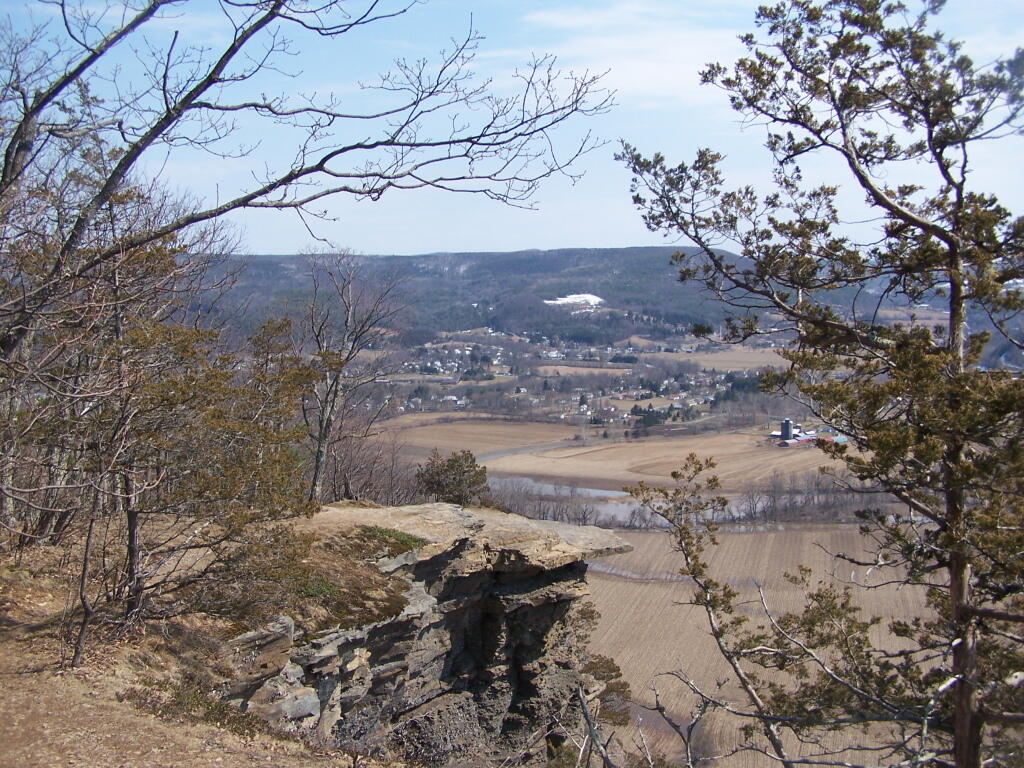
On the second day of spring I went hiking up Vromans Nose. A short little hike, it’s a favorite in Schoharie County for it’s sweeping views of the agricultural lands below. Below is a picture of Vromans Nose, as seen from Middleburgh Cliff.
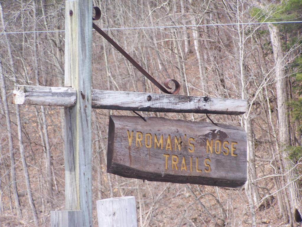
Sign for the trailhead.
Hiking up the mountain on a very brown-grey winter day.
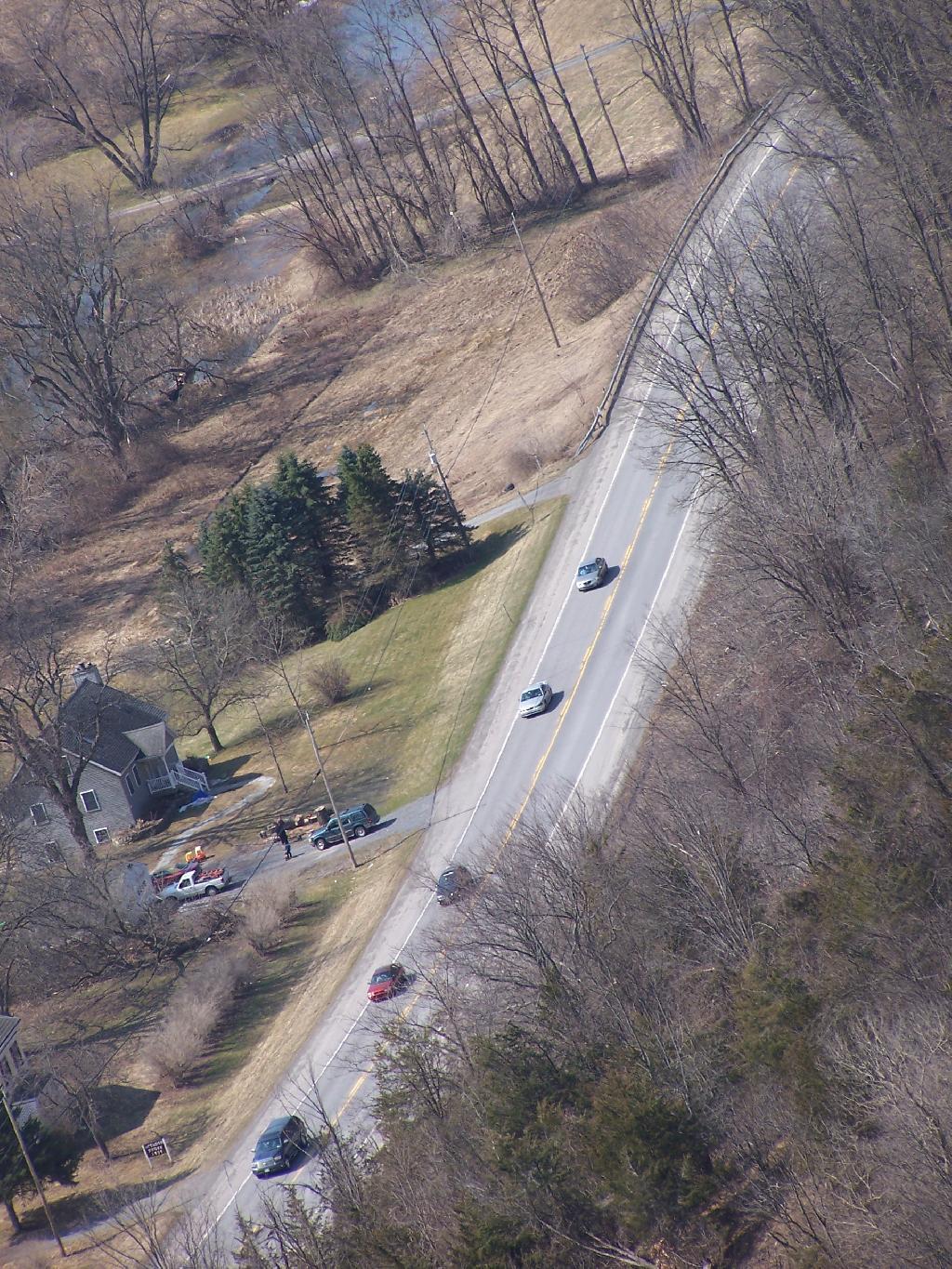
NY 30.
A farm off the edge of Vromans Nose.
West Off Vromans Nose looking towards Towpath Mountain.
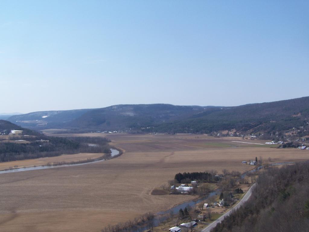
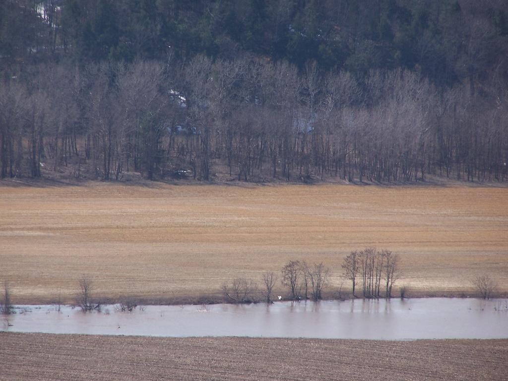
With all of the snow melt, the Schoharie Creek was fairly swollen.
Looking from the Tip of Vromans Nose towards Middleburgh, with Middleburgh Cliff in the background.
Here’s a map of hike.
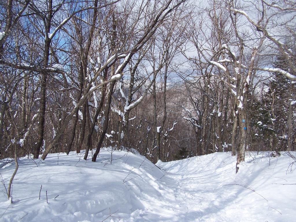
On Sunday, February 21, 2010 I got up at 5 AM and started out on the Spruceton Horse Trail to Hunter Mountain around 8 AM. Previously I went up Hunter Mountain using the much steeper Mink Hollow Trail, which in a couple of parts would be challenging to snowshoe for a novice like myself. The Spruceton Trail is 3.5 miles and an accent of 1,900 feet versus Mink Hollow Trail at 2.1 miles and 2,200 feet accent.
Here I am starting up the mountain, with trail-less high peak Rusk Mountain in the distance.
The Old Hunter Road (abandoned 1937) is straight, wide, and modest ascent. With the sun rising, I had issues with snow blindness, but it offered some interesting broken views of West Kill Mountain in the background.
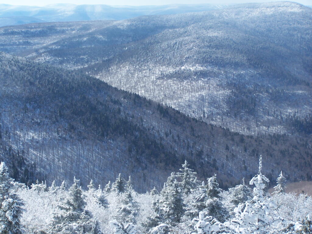
About half-way up the Mountain, you reach the “saddle” between Rusk and Hunter Mountain. After snowshoeing for a little over an hour, with this sign telling you there is 1.7 miles to go, an accent of 1,100 feet is a bit discouraging, but so be it.
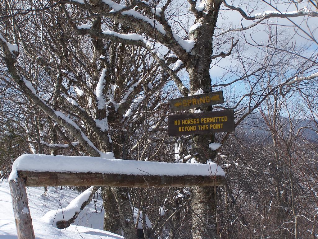
After about 2 hours of snowshoeing I reached the spring. The past half hour of hiking, from the saddle up to the spring, may not be a long distance at 1/2 mile, it is a vigrous but not not steep 500 foot ascent by an old but wide abandoned truck trail.
The AMC’s Best Day Hikes in the Catskills and Hudson Valley suggests that one has to be careful with drinking out of this spring, because thirsty horseback riders sometimes bring their horses back to give them a drink too, ignoring the sign.
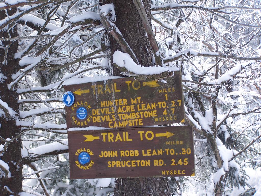
Going a little bit farther past the spring, you come across the trail down to the John Robb Lean To. About 1/4 mile and 100 feet below the Spruceton Trail, after going a narrow little rock crevice, there is the Spruceton Leanto.
From the Lean To, it’s approximately 1 mile to the Hunter Fire Tower. The next mile is either flat or a slight ascent, until you reach the last 1/4 mile of the trail where is ascent quickly with switchbacks, but again, not steeply.
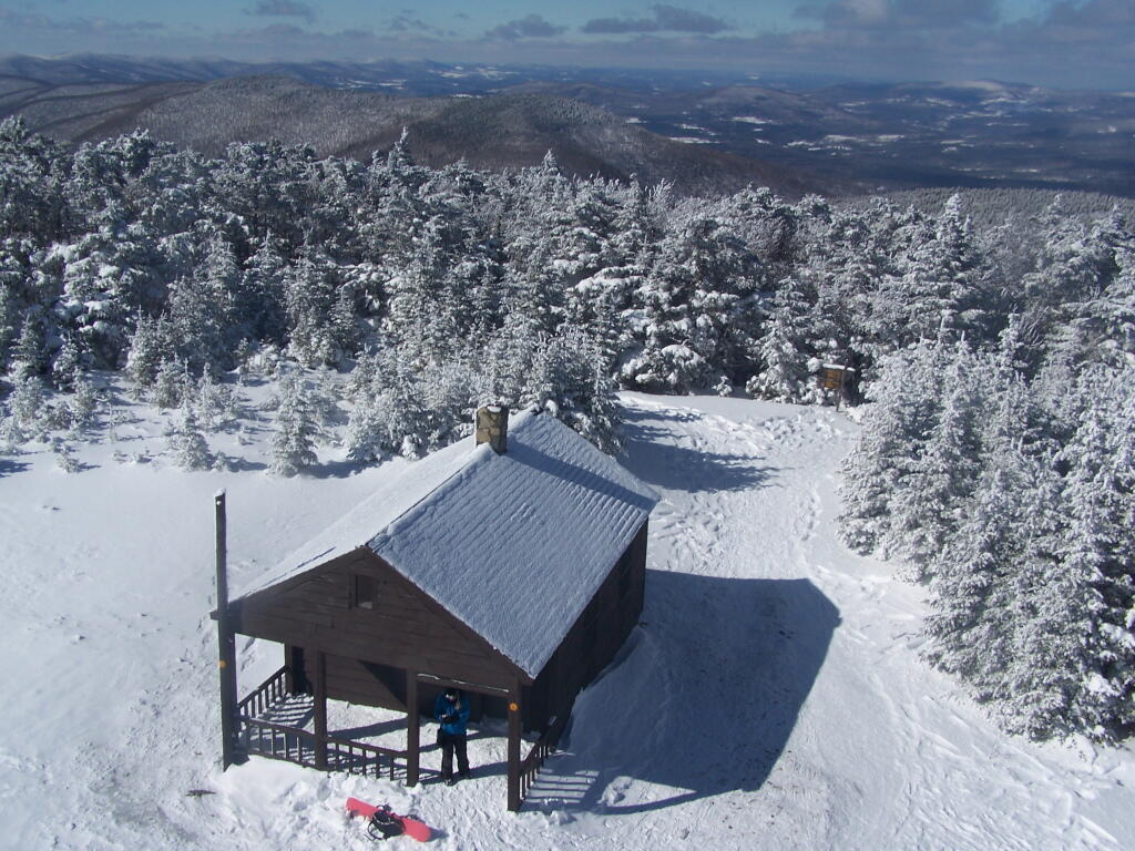
Finally after about 4 1/2 hours of snowshoeing (including breaks and taking photos), I reached the Hunter Mountain Fire Tower. By now it had clouded up, and it reminds one of a picture out of a movie.
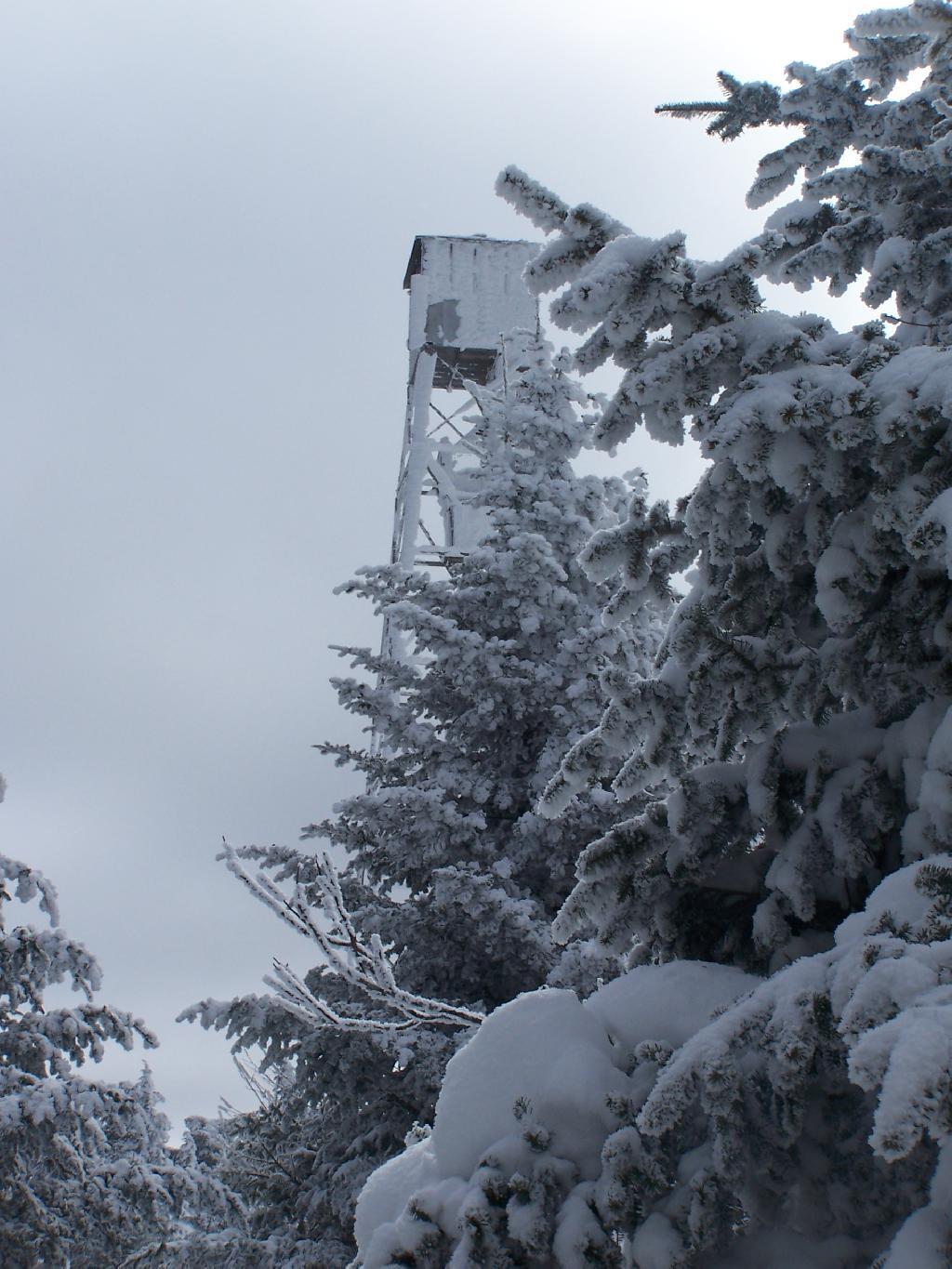
It felt good to get the snowshoes off, stop, and have some lunch for an extended break.
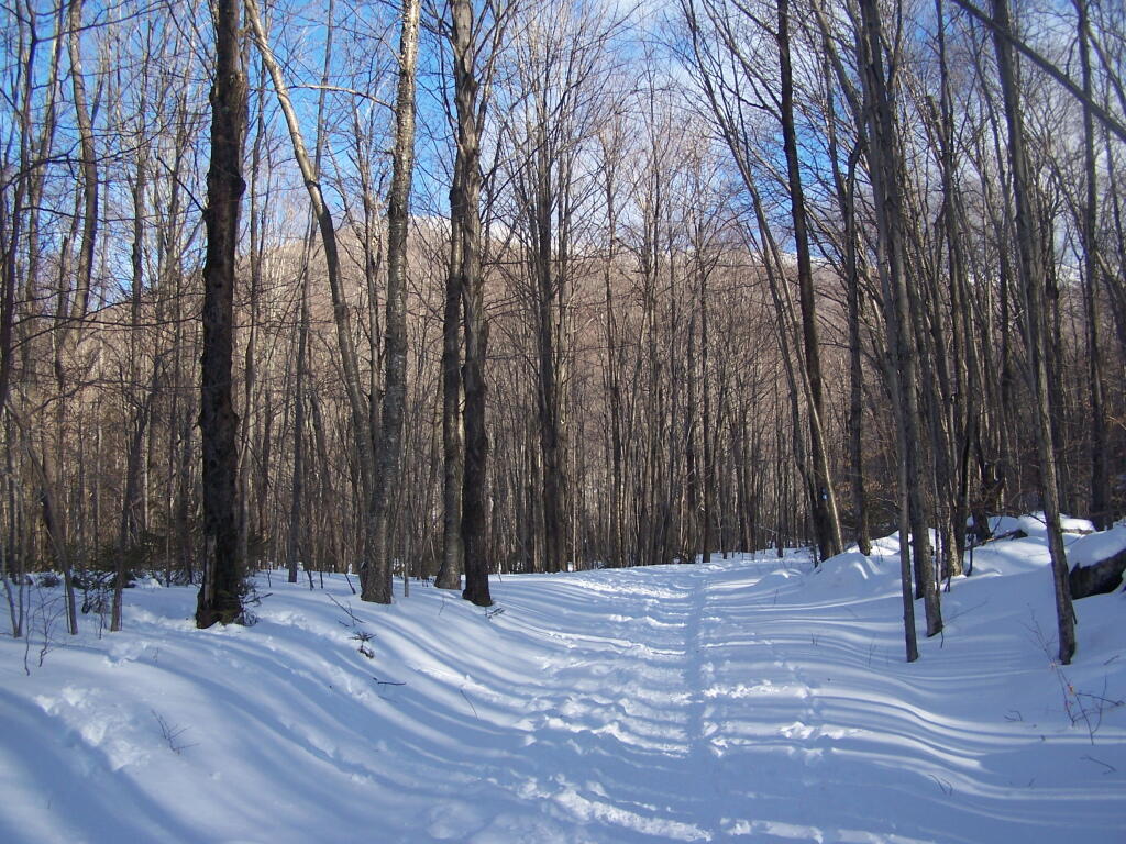
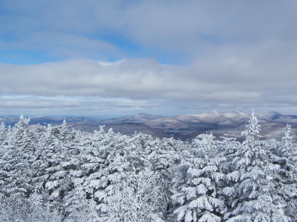
Looking North off the Fire Tower towards the Catskills famous TriMount-range aka Thomas Cole, Black Dome, and Black Head Mountains.
To the due east one can see Catskill’s Sunset Point, the upper Hudson Valley near Catskill, and in the distance, the Taconics, including the other Sunset Point in the Taconic State Park.
It was frigid on the fire tower with the winds blowing. Off the tower it wasn’t quite so bad. After spending a little time relaxing at the picnic table, and putting another layer of clothes on, I headed south along the blue trail to the Hunter Mountain Overlook which overlooks the South-Western Catskills.
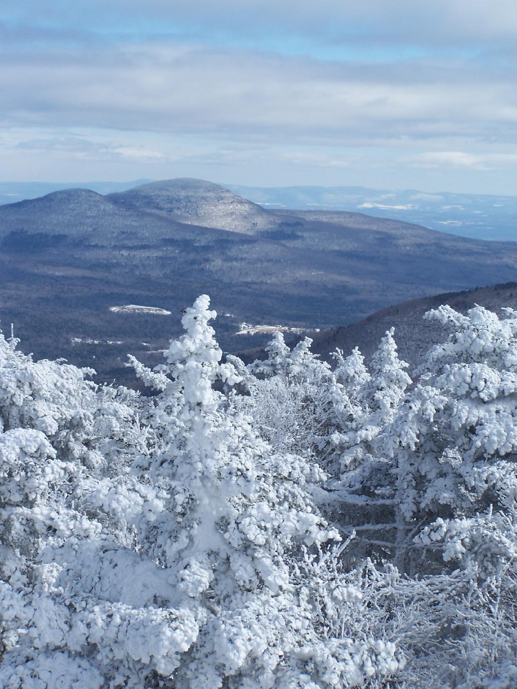
Reaching the Hunter Mountain Overlook, the views where quite amazing, showing mountains from Mount Tremper to the east to West Kill Mountain in the West.
The saddle between Hunter and West Kill Mountain. It was amazingly beautiful.
After taking half a dozen photos at the Overlook, I headed back to the Fire Tower, and went up it once again. Here I am looking to the North West towards Blenheim Mountain and Schoharie County. The former Hunter Mountain Ranger’s cabin is in the foreground, with a snowboarder who snowshoed with board on back from Hunter Mountain Ski Resort on the balcony.
Here is South Hunter Mountain, looking due South.
Heading back down the trail, looking at Rusk Mountain.
I arrived back to my truck around 4 PM. I was tired, as snowshoeing is a lot more work then hiking. Snowshoes kind of drag on the snow, and the cold just makes everything a bit more tiresome. Yet, the beauty was amazing even at a balmy 22 degrees.
Make sure to browse all of the amazing photos from the hike up there. Also, see my April 12, 2009 trip up to Hunter Mountain via Mink Hollow.
Here is the map of the Spruceton Horse Trail up Hunter Mountain.


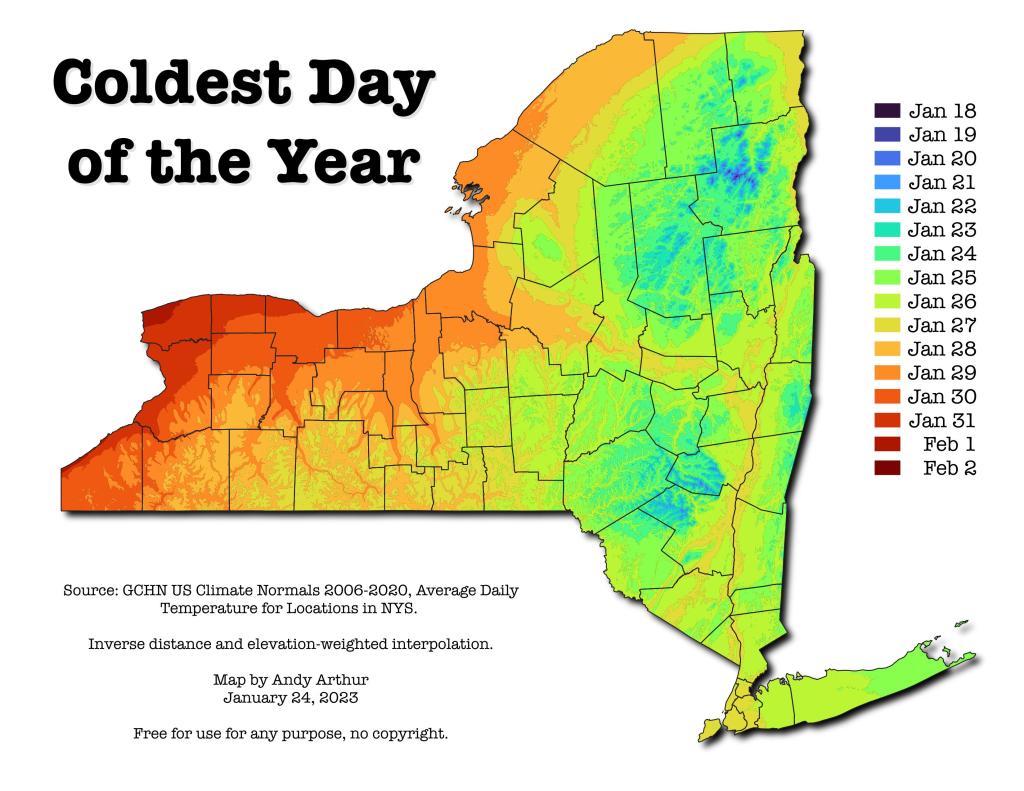
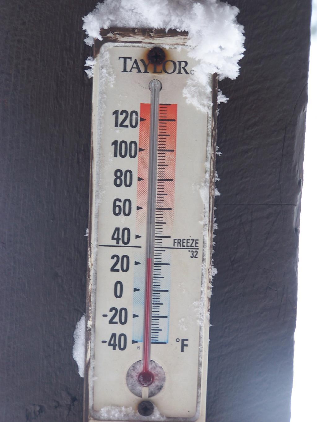
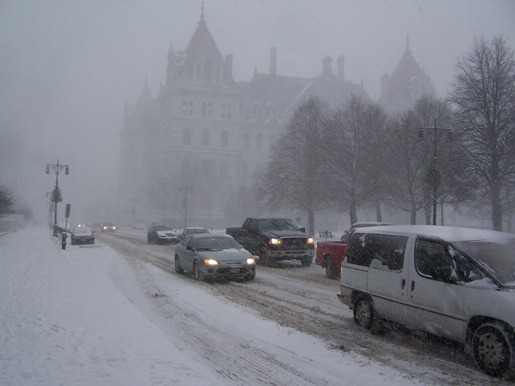
They say the darkest time of the night is just before dawn. The harshest part of winter is now upon us, the month of February. If there ever is a month of the year that is just nasty and terrible, it must be the month of February. This month is cold and wintry, following the previous two and half months of cold winter weather. It’s not fun.
February is the month when the cold breeze seems the coldest. It’s when the salt on the cars and the roads seems the harshest. It probably is not the harshest weather of the year, as already the days have gotten somewhat longer, and we are past the coldest days of the year, but it still seems like winter continues to have us in it’s fangs. Our heating bills will continue to be high.
February is going to be a tough month for all of us. Maybe Merle Haggard should have sung, If We Make It Through February. The only upside to this month is that once we make through February, it will be March which will eventually lead to a thawing out in April. The grass in April will be brown, and burn bans a-high, but then things will green up and the beauty of spring will return in May.
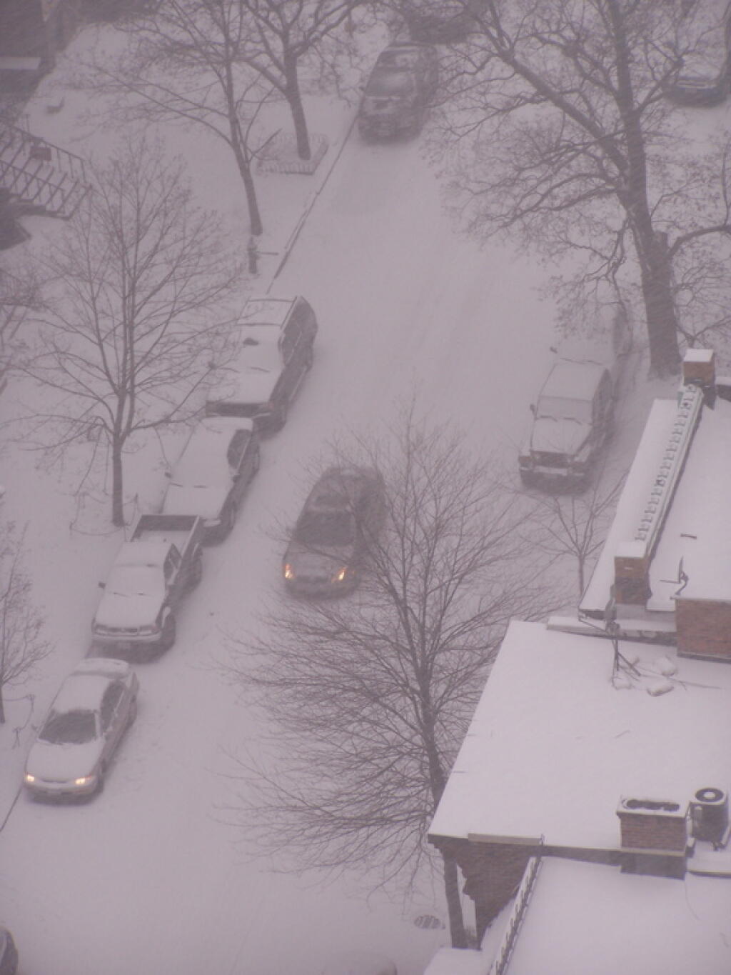
February is just a single month. It’s not the nicest month, but as all things come and go, it must come to a pass. Look at the upside — it’s the shortest month of the year! Maybe the Ground Hog this year, for the first time, will actually be right and say no to six more weeks of winter! Let’s make it through February and towards nicer weather in the spring.
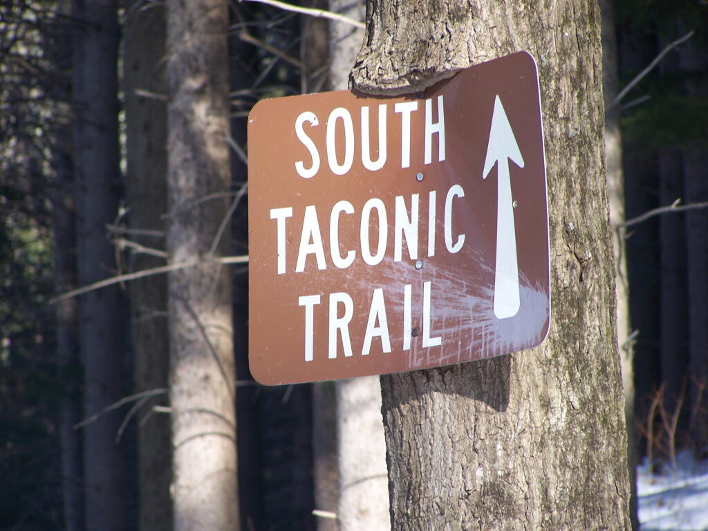
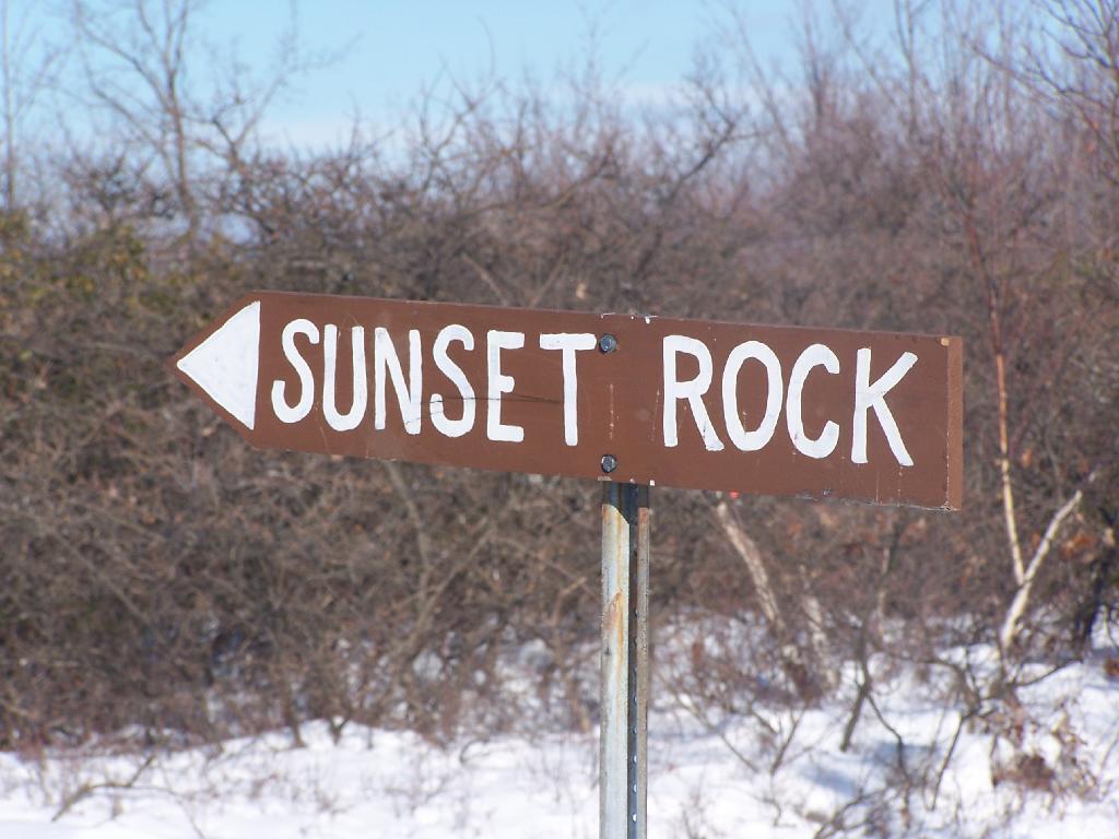
Two Saturdays ago I decided to go up for a hike at Taconic State Park. I had visited Sunset Rock last June, and decided it would be interesting to go back up there six months later in the dead of winter.
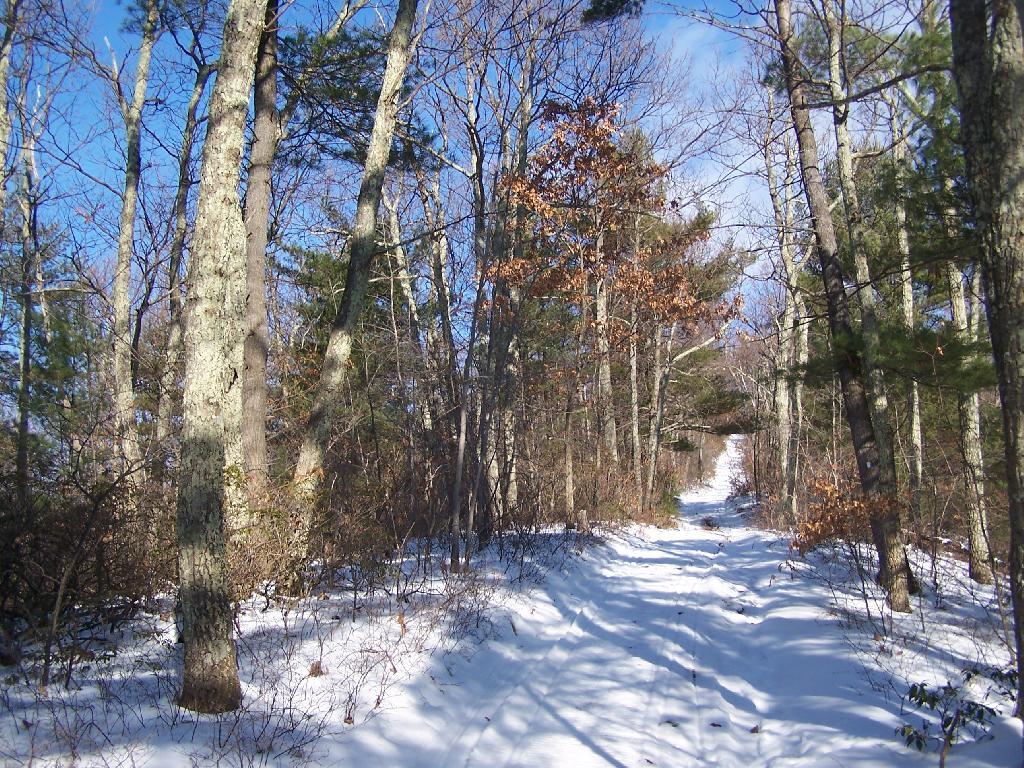
The trail up to Sunset Point is not very steep except for a few short sections. This is one of the steeper sections.
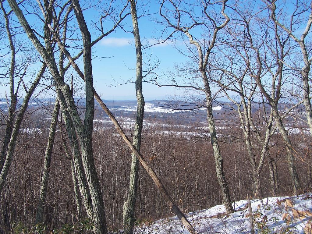
As you head up the mountain there are some places with broken views to the south, overlook Copake Falls and further south.
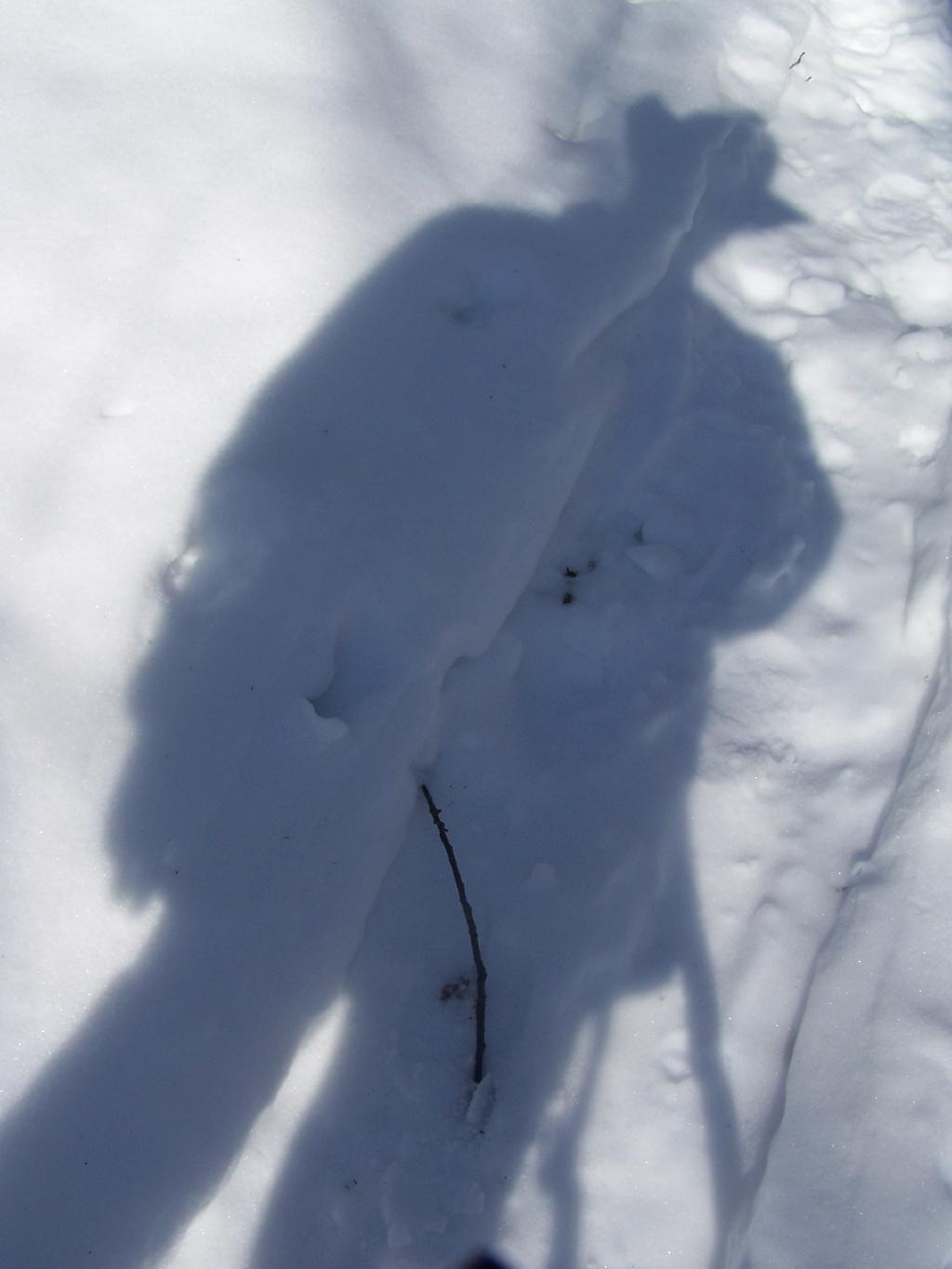
Here is the shadow of me hiking up the mountain.
Finally reaching the top of Sunset Rock.
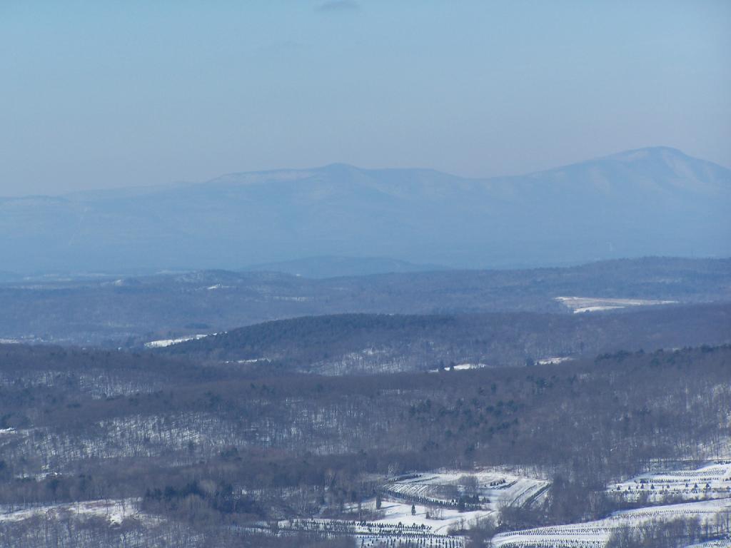
Here is the view off Sunset Rock. The Catskill Mountains are in the distance, somewhat shrowed in haze on this beautiful warm January day.
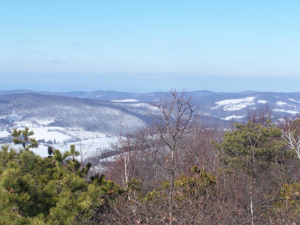
Looking off to the North from Sunset Point.
Here is a map of where I hiked.
View Hike to Sunset Rock at Taconic State Park in a larger map