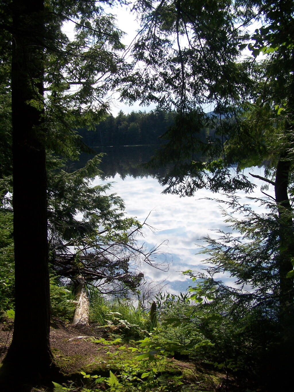
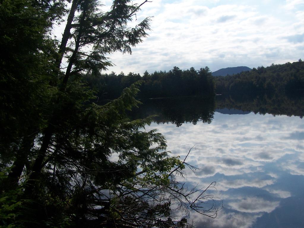
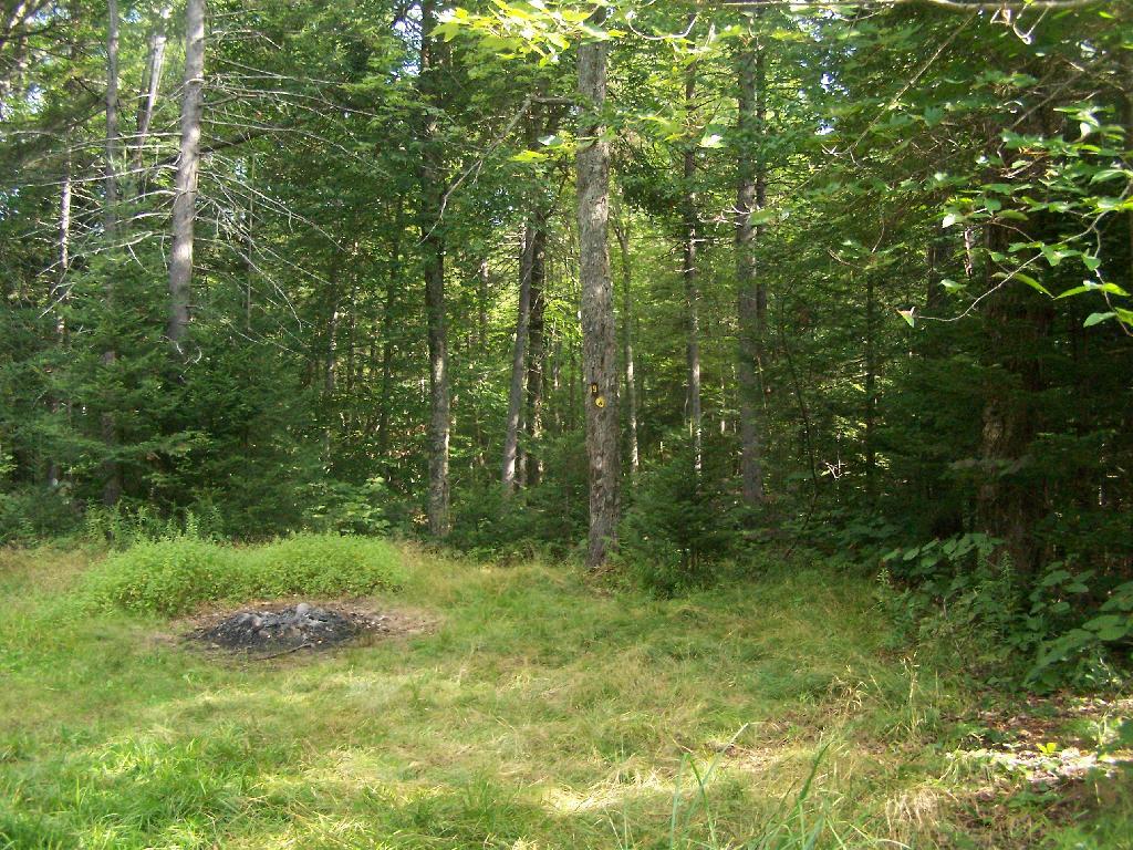
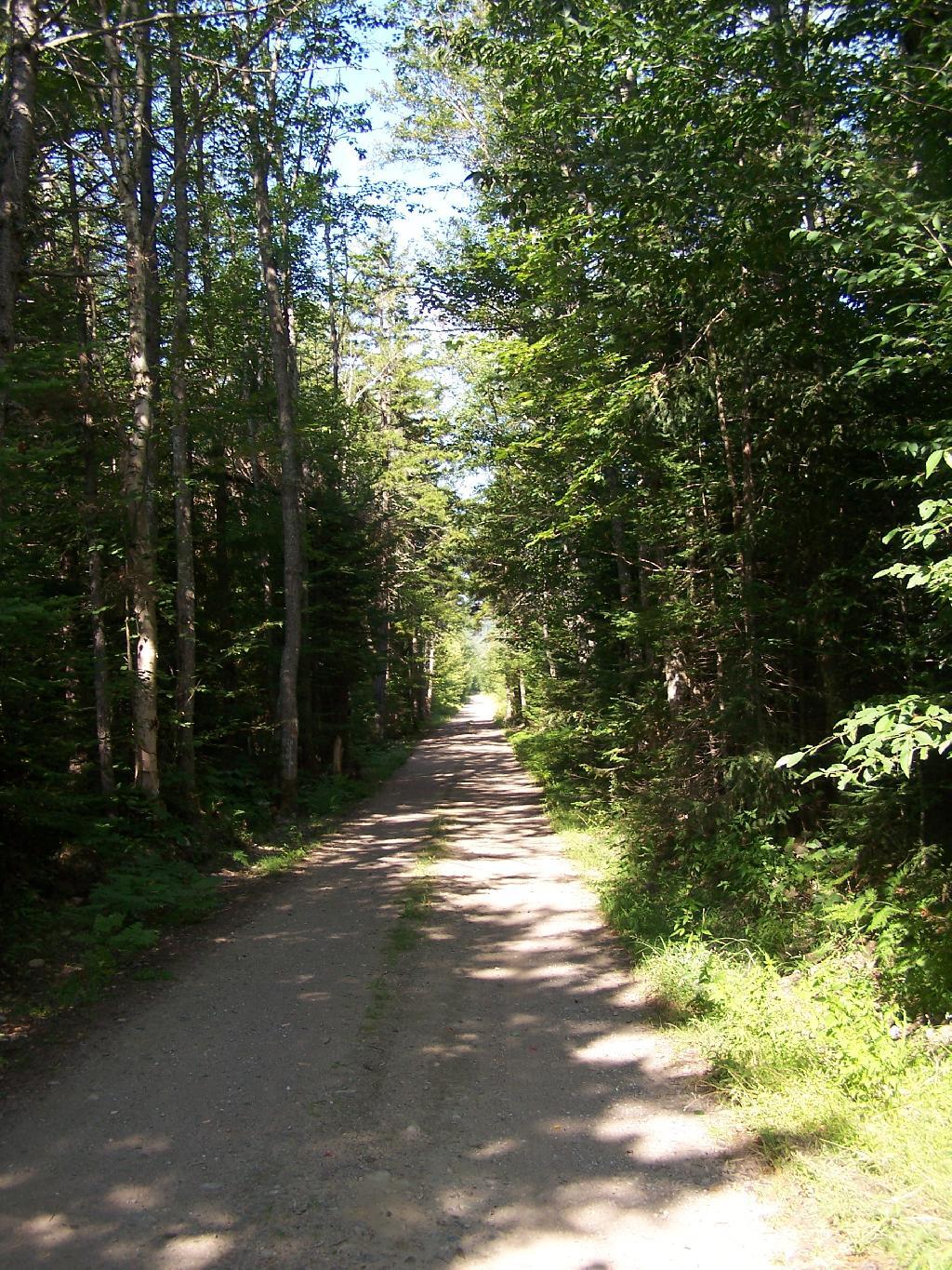
The most popular area in Ferris Lake Wild Forest is to camp along the 20-mile long Piseco-Powley, a spectacular seasonally-gated, state truck trail. Other roads in area provide more remote roadside camping opporunities and are listed below.
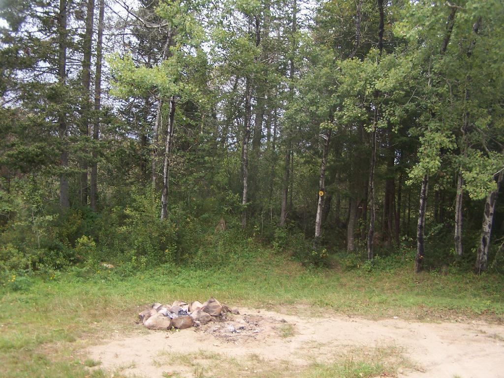
“The FLWF provides a variety of different camping opportunities. The interior portion of the unit contains numerous primitive tent sites that are located along the shores of the more popular lakes. These sites are designated with a yellow camping disk and often contain a fire ring. There are also a number of car accessible sites located along secondary access roads, such as the Powley-Piseco Road, G Lake Road, Mountain Home Road Extension and Edick Road. Most of these sites can accommodate small camper trailers. There are no lean-tos within the unit.”
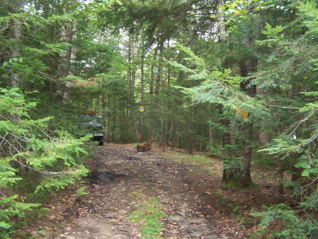
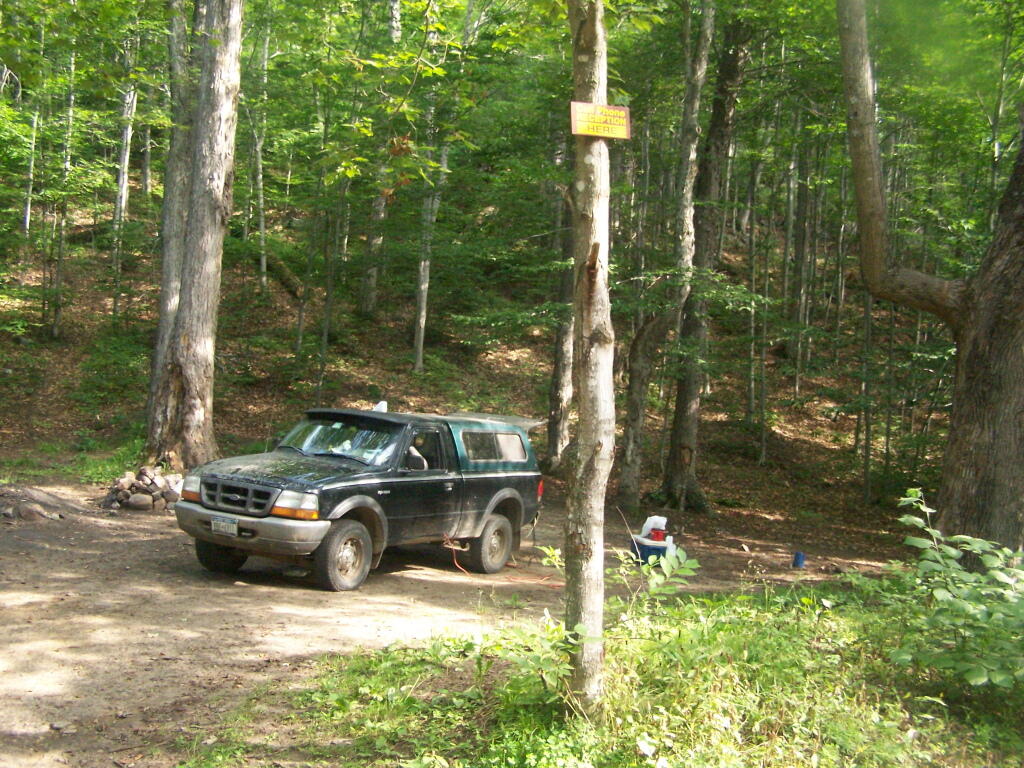
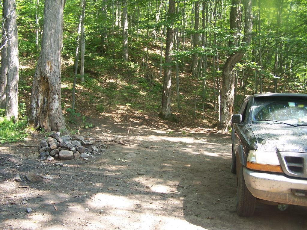
Mountain Home Road Extension (Rough Truck Trail Past the Floe)
6
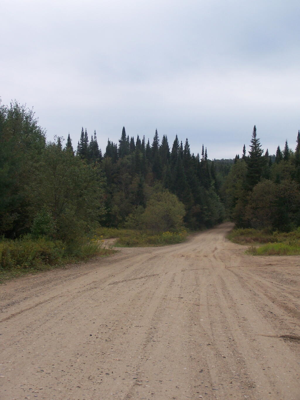
Powley-Piesco Road(Open Late Spring-December)
Northern Hardwoods Section Near Mud Pond
Central Section Near Marshlands of Powley Place
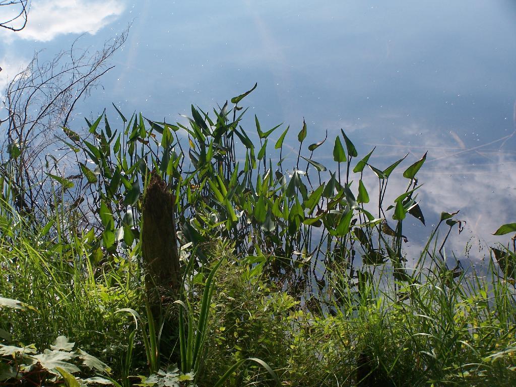
Southern Section Near Potholers
Please note that the roadside campsites are noted by “GLR”. The “GL” sites are traditional primative tent sites, beyond the gated end of G Lake Road, that you have to backpack into. This map is from the Ferris Lake Wild Forest UMP.
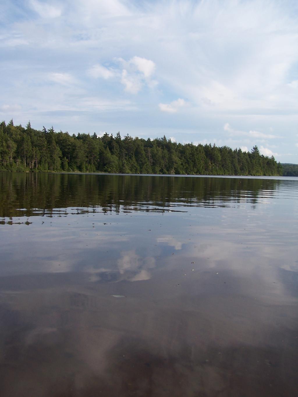
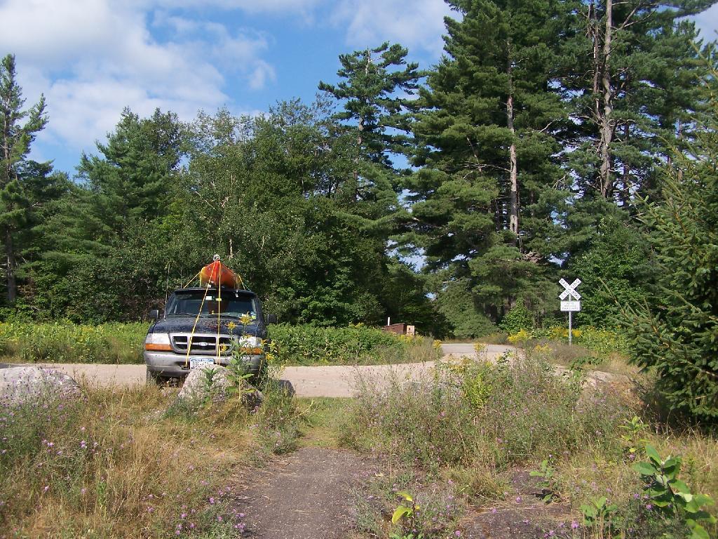
Horseshoe Lake is located on South Eastern Saint Lawrence County, on a dead end state highway, NY 421, a spur from NY 30 South of Tupper Lake. It offers 6 campsites scattered along the lake, with 6 others on nearby roads. It is also near the Bog River Flow Canoe/Kayak Area.
Six Miles to Horseshoe Lake. This is the turn off for NY 421, one of the strangest state highways in the state. It is a dead ended highway, that leads to gravel roads around Horseshoe Lake and Bog River Flow. It is very twisty and narrow, and portions have not been resurfaced in over 50 years.
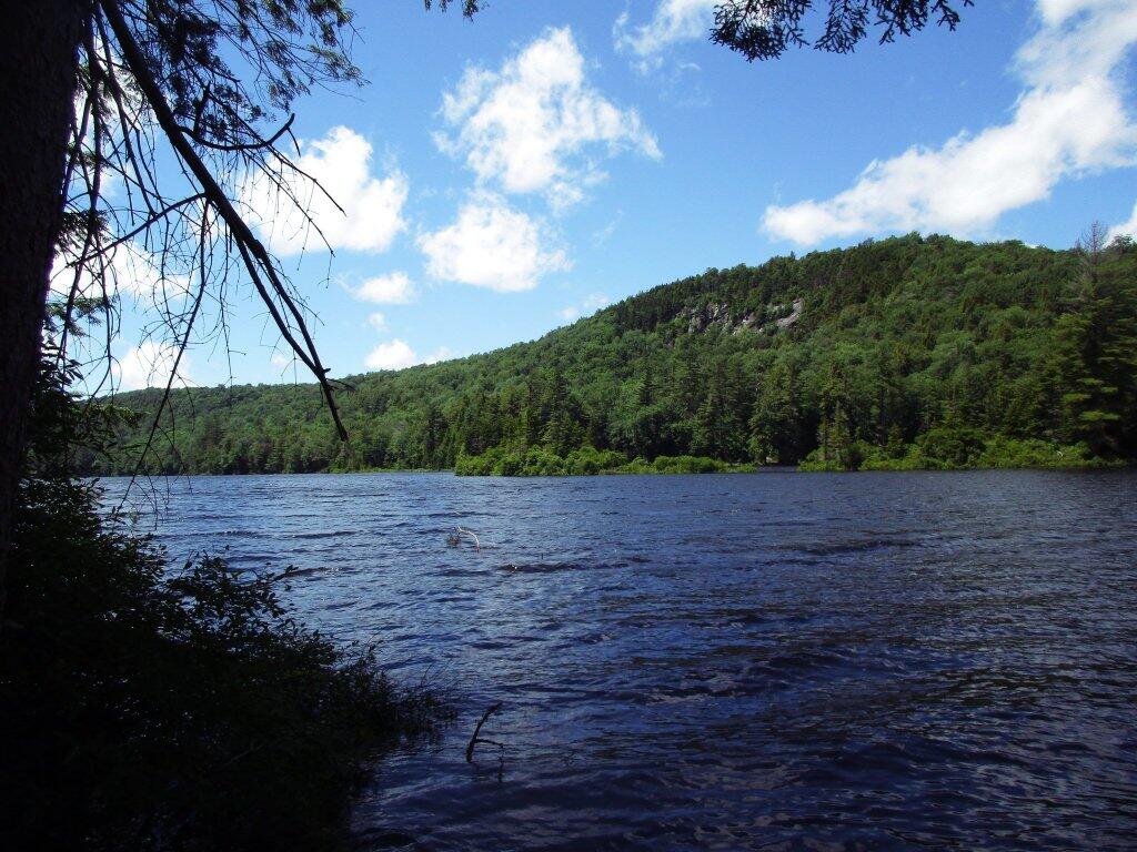
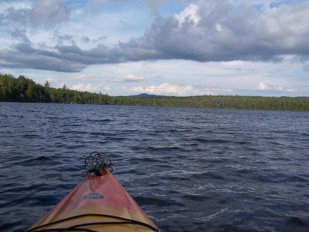
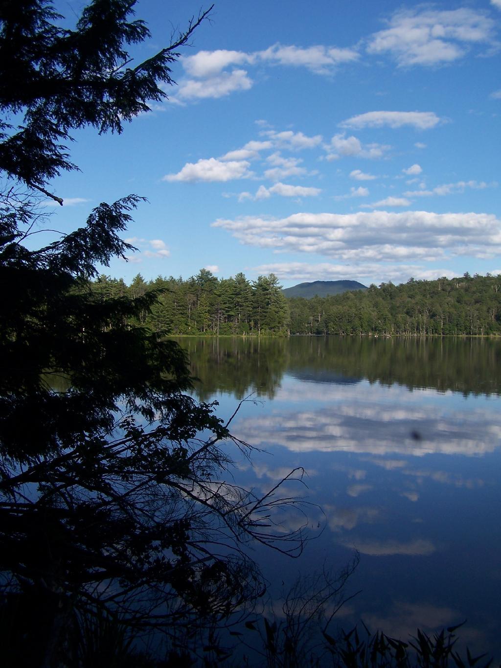
Towards Mt Morris. Paddling across Horseshoe Lake. As you can see, the land around here is very flat, former timber country. In the distance is Mount Morris, near Tupper Lake.
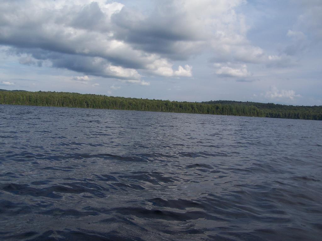
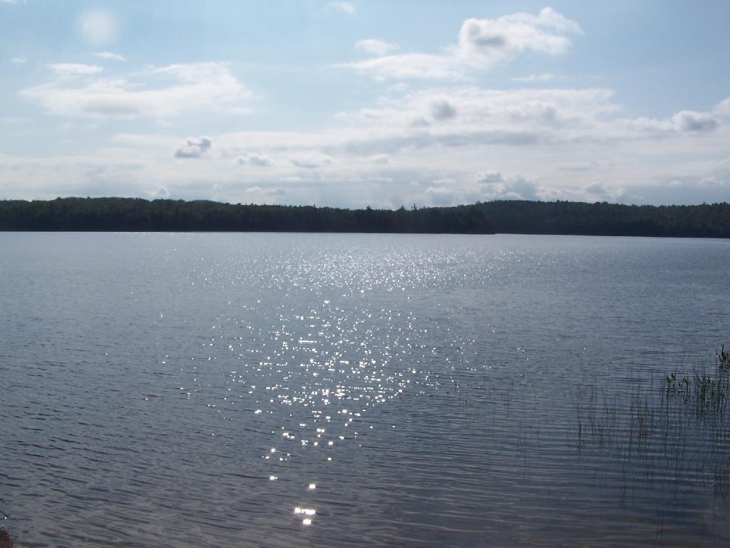
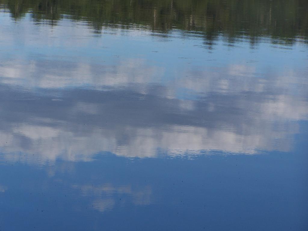
Choppy Waters. The water was somewhat choppy on Horsehoe Lake as there was a steady breeze as the weather was clearing out.
Northeast Tip. This is the upper tip of the Horseshoe Lake, in the most North-Eastern portion.
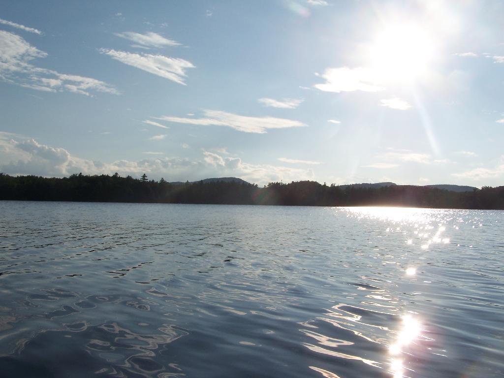
Heading Around The U. Horseshoe Lake is fairly large, all things considered. The open bays can be a bit rough, especially when you get into the wider portion of the U in the horseshoe.
Blinding Sun. Heading West across the Lake, I was going directly in the path of sun at 7 PM. Even with sunglasses on, the sun was bright and painful, leading to a temporary sunblindness. I ended up tacking North-West then South-West to avoid the sun, and the choppiness of the water.
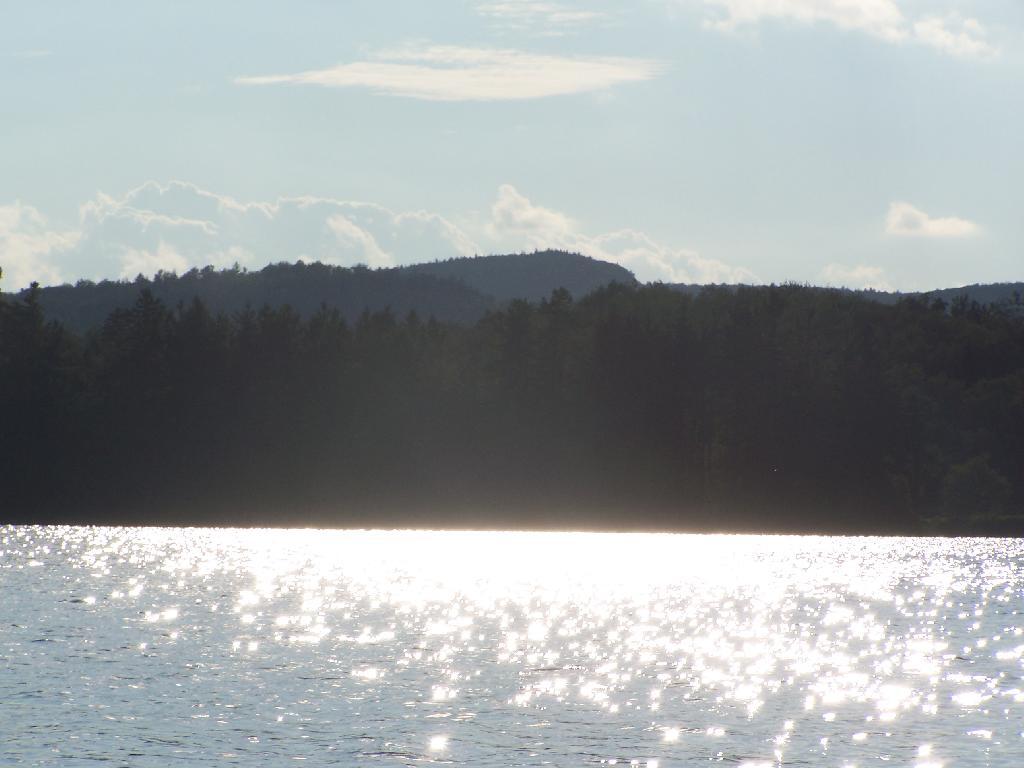
Glare. In the background rises Silver Lake Mountain, that beautiful ridge one sees most clearly from paddling around Hitchins Pond/Lows Lake in the Bog River Canoe Area.
Other End of Lake. This is where NY 421 first hits the lake, heading west on NY 421 from Mountain Camp. You could say that it’s other tip of the Horseshoe. About 3 campsites, spaced 1/2 mile apart, are located on the lake.
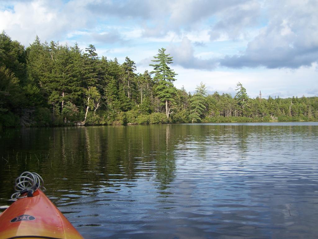
Mason Lake is located in the Adirondacks just off NY 30. It has primative camping, I camped their last night (August 10th), and also camped there on July 31.
It’s a two hour drive from Albany, so it’s not as far north as Moose River Plains, and can be done on a Friday night. It’s fairy popular, but there is usually some of the 6 out of 12 non-lake side campsites are always avaliable, and it’s not like it’s ever crowded on the lake in a boat.
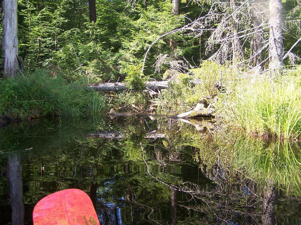
I paddled down to the southern end of the lake, with a stream exiting Mason Lake. This part of the Jessup River is unpassable by kayak due to many trees crossing on it.
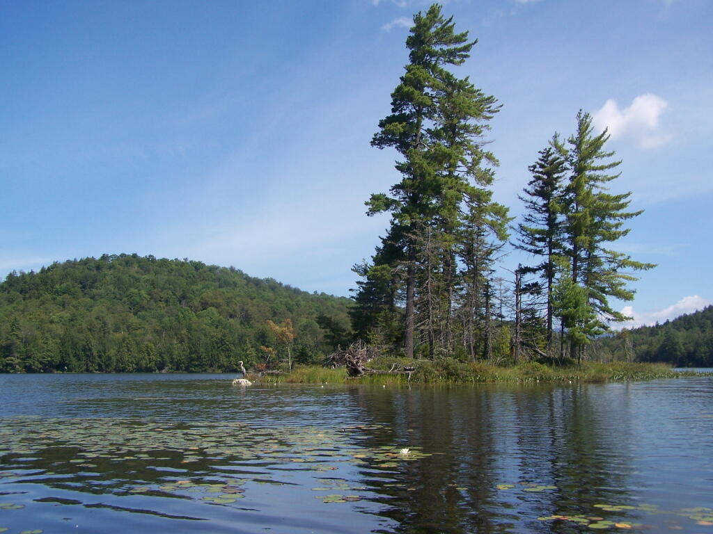
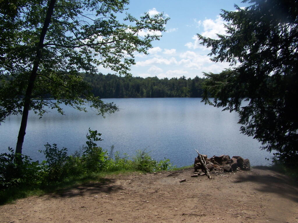
It was a beautiful day at Mason Lake with puffy clouds above.
Thru Swampy End of Mason Lake. You had to watch out for trees on the bottom that you could get hung up on.
Jessup River Road. As seen from the southern end of Mason Lake paddling around.
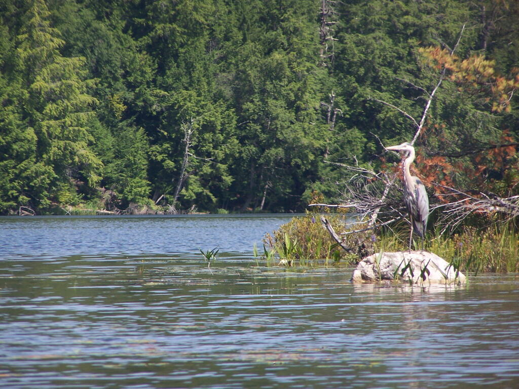
Great Blue Heron, standing tall on an Island on Mason Lake.
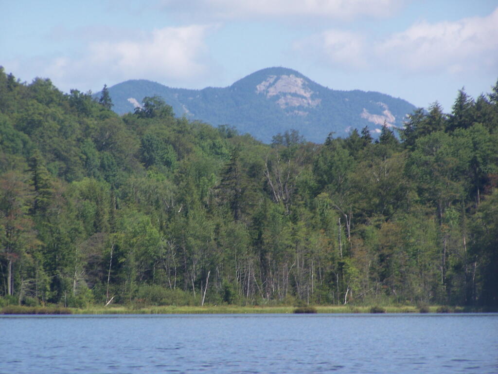
Snowy Mountain. As seen from the middle of Mason Lake.
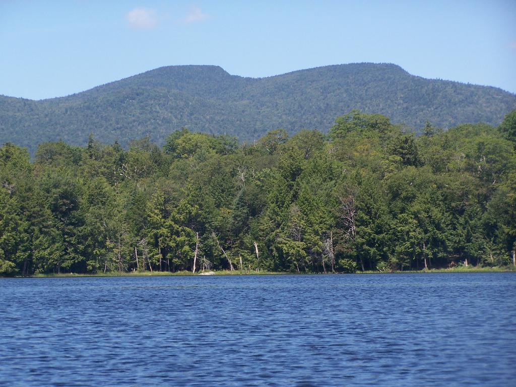
Lower Blue Ridge. As seen from Mason Pond. Beyond this ridge is Moose River Plains and Cedar River Flow.
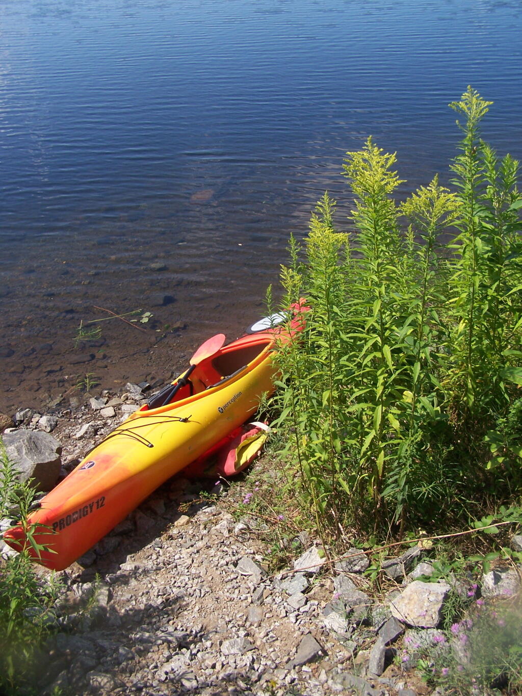
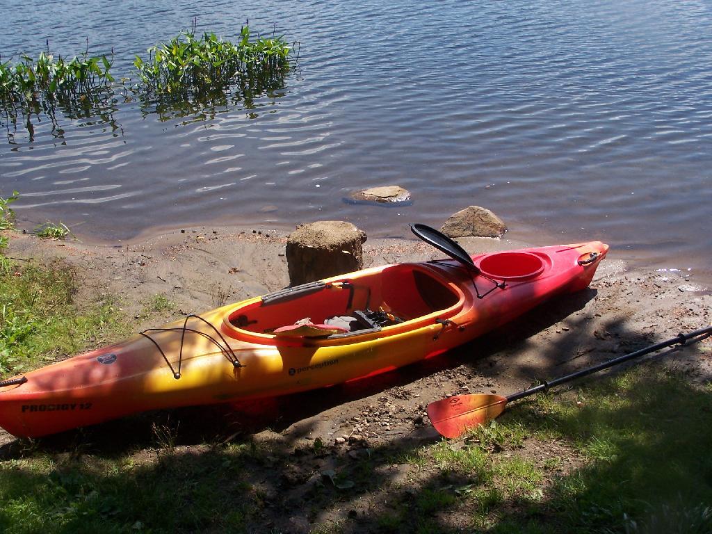
Kayak Parked at the Mason Lake Parking Area, where people pull off NY 30, totally oblivious to the camp sites across the lake.
Lakeside Campsite. This was the lake campsite at Mason Lake I camped out on Tuesday night. It was pretty nice that night, although I didn’t get any pictures, because I was dead tired after driving up two hours after work.
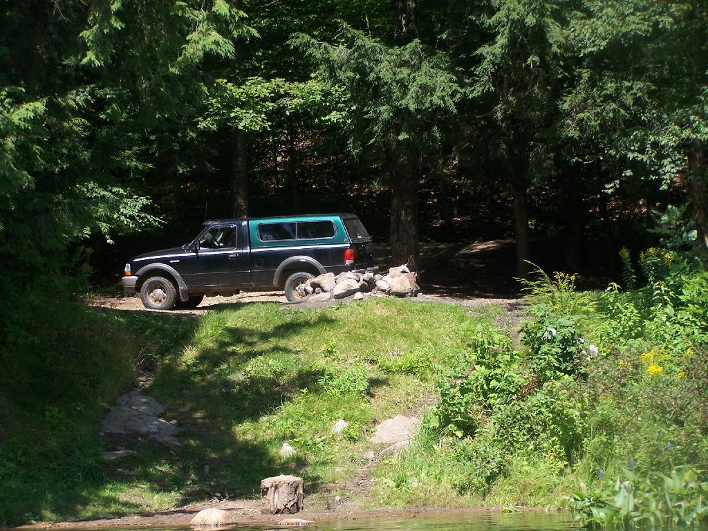
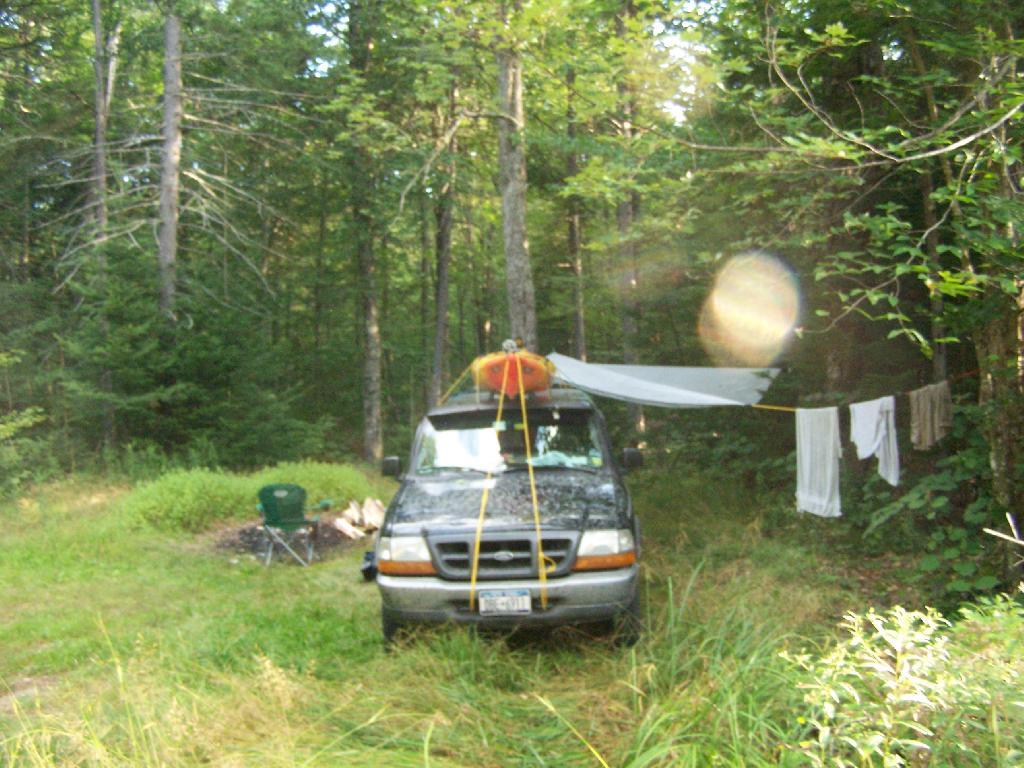
Truck’s All Packed. All I have to do now is put the kayak on the roof of my truck, and head north to Cedar River Flow for the next day of camping out.
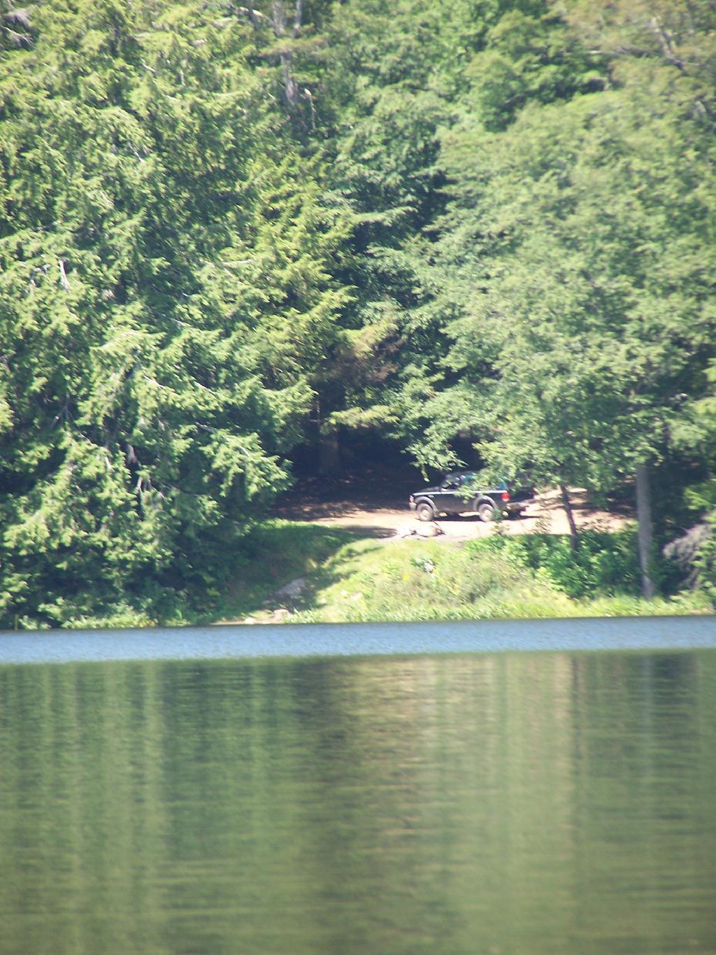
Lake Side Parking. This by where I camped down at Mason Lake.
The campsite I stayed at with it’s views at Mason Lake. It was real nice.
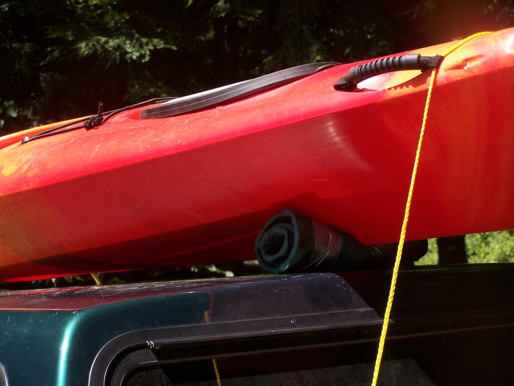
Styrofoam Canoe Blocks I Made. I cut up an old styrofoam sleeping pad, rolled it up, cut notches, and duck taped it all together. It worked well, far better then trying to let the kayak ride directly on the roof of the pickup.
Here is a map of the lake. 12 Campsites are located along Jessup River Road, 3 which are RV/truck accessible with water, 3 that tent sites, and about 6 nearby the water. It’s great.
Horseshoe Lake is located on South Eastern Saint Lawrence County, on a dead end state highway, NY 421, a spur from NY 30 South of Tupper Lake. It offers 6 campsites scattered along the lake, with 6 others on nearby roads. It is also near the Bog River Flow Canoe/Kayak Area. Don’t expect to get a campsite on the lake in the afternoon, but the sites along the truck trail are rarely used.
Six Miles to Horseshoe Lake. This is the turn off for NY 421, one of the strangest state highways in the state. It is a dead ended highway, that leads to gravel roads around Horseshoe Lake and Bog River Flow. It is very twisty and narrow, and portions have not been resurfaced in over 50 years.
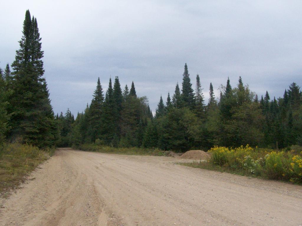
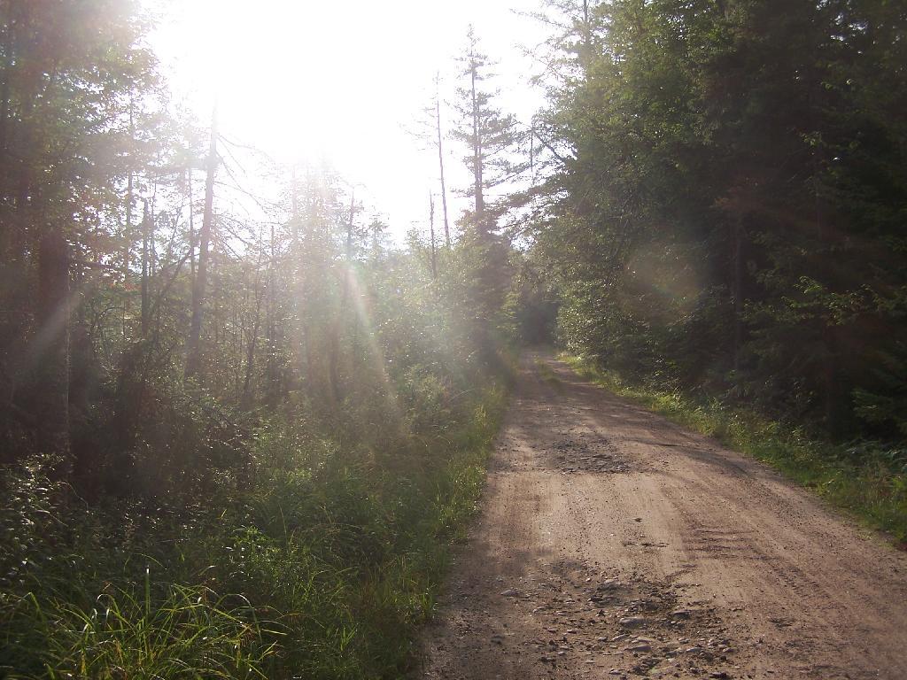
After The Pavement Runs Out. About a two miles from the paved end of NY 421, I camped. This is first thing in the morning, with the sun shining down from the wetlands near where I camped.
Campsite No 9. This is Campsite No 9 at Horseshoe Lake, on an Unnamed Adirondack Park Road, about two miles from the end of NY 421/Paved. I could not get site on the lake, arriving at 5 PM at night, but it’s still a nice campsite. This area of Saint Lawrence County is so remote, only 2 big pickup trucks, and logging truck passed by in the 12 or so hours I was there.
Not Fancy Campsite. By no means was Campsite No 9 on the Unnamed Road, particularly fancy. But it provided a place to camp, and was a three minute drive down to the lake. I could have gotten a spot on Horseshoe Lake most likely had I arrived in the morning, as it seemed like campsites tended to clear out in the morning.
Road Crosses Railroad Tracks. This is where the weird hair-pin turn appears on maps at the end of NY 421. I’m not sure why it follows this route, as the terrain is flat, but maybe at one time there was an inholding or private home located in here.
Horseshoe Lake in Morning. Heading swimming in a couple of minutes. The water was real nice.
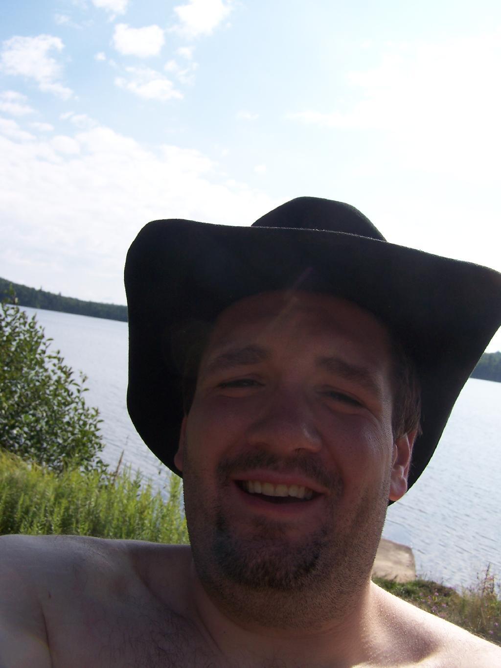
Cowboy Hat, Swimming Trunks, Work Boots. Not that you could get the total picture from this image. But the cowboy hat and work boots came off before the dip. A real country boy thing.
Unnamed Dirt Road. This is the road that goes from Horseshoe Lake to Mount Arab / Piercefield.
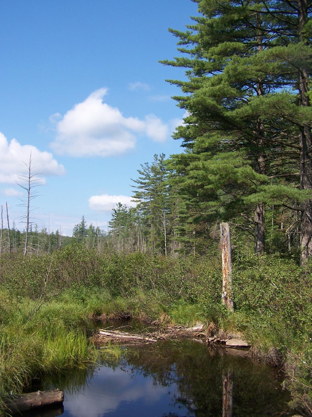
Wetlands Along Horseshoe Lake. This is about a mile after the pavement runs out on NY 421, just after the Bog River Flow / Lower Lows Dam Road turn-off
Here is a map of where I camped, on the truck trail, west of Horseshoe Lake.
There are 12 primitive campsites on or around Mason Lake, right south of the intersection of NY 30 and Jessup Lake Road, along with a scattering of designated sites in International Paper Easement. I camped there on the night of July 31st of this year. There is no firewood locally, you’ll have to buy some and haul it on the site.
Click to download high resolution map for printing. Be aware I added these campsites, and the Unit Plan calls for changes in the layout of campsites, so the site locations may have changed.
The campsites on Mason Lake are fairly popular, and if you want one lake, you will have to get there early.
Otherwise, the sites off the lake and nearby lake are often open, and the scattered designated sites throughout Perkins Clearing are rarely used. I hiked Pillsbury Mountain in the morning, and didn’t arrive until evening, so I had this site across Jessup River Road, a short walk to the lake.
Mason Lake in afternoon has some amazing reflections, of Floodwood Mountain. It’s not perfectly quiet, due to several campsites around, and the noise from NY 30’s traffic, but it is the closest free camping area on NY 30, just being North of Spectulator.


![Blackwater Falls [Expires November 7 2023]](https://andyarthur.org//data/photo_005109_large.jpg)