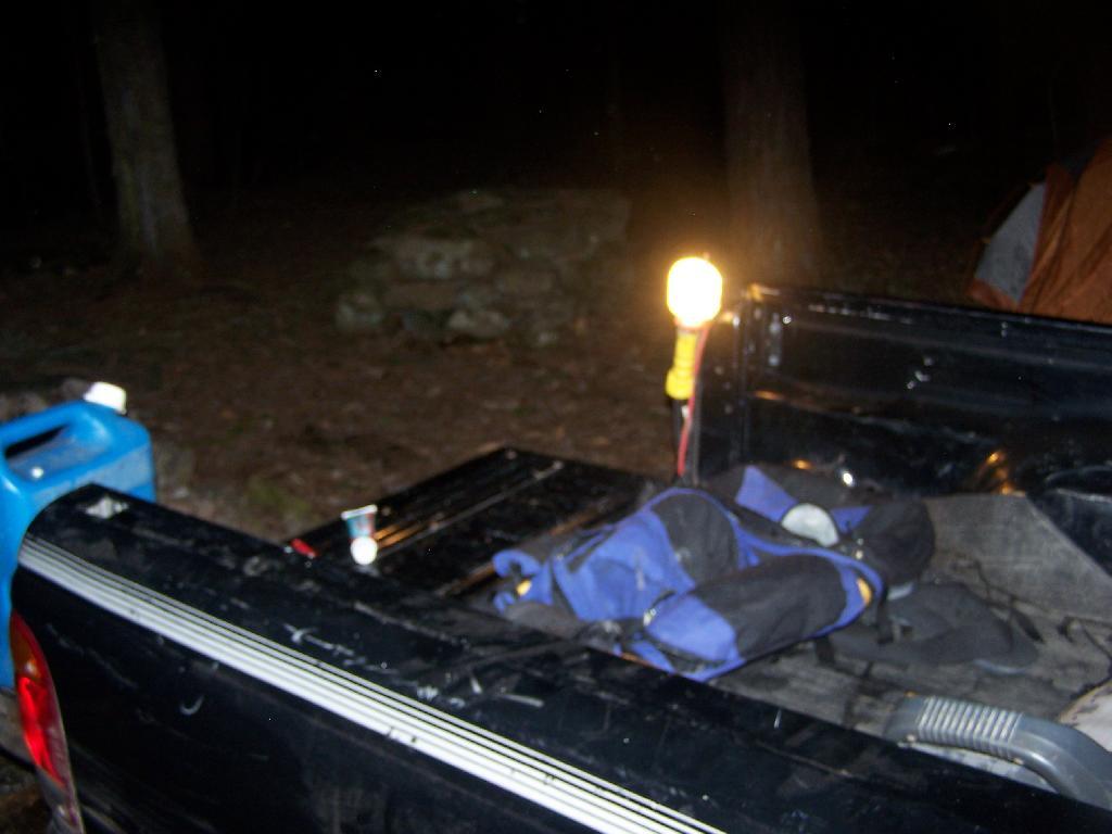
I have camped out plenty of times in the past in lean-tos and in tents in the wilderness. Yet, it’s not a regular thing, but more of an occasional thing. I much prefer camping out in my truck for the simple fact: I like having electricity.
As I’ve noted in the past, my truck has a 800-watt inverter hooked up to the battery, which provides electricity for my clock radio and lighting. I usually bring a string of LED Christmas lights for charm, but then also have a desk lamp with a 9-watt florescent light (equivalent to a 40 watt incandescent), along with two other 26-watt florescent lamps (each equivalent to a 100 watt lights).
It turns out that those lamps put out a lot of light. When I hear a bump in the night, or just need to run outside, I can turn on the lamps, and instantly have a lot of light. While a florescent lamp the size of 100-watt incandescent bulb might not seem that bright, as in a large well-lit room, in a darkly lit woods, they are very bright.
I usually use just a well focused 40-watt equivalent florescent bulb in my desk lamp for reading in the woods. I find it hard to read with a flicker of my white gas lantern, which also tends to be dimmer then the electric light, especially after white gas lamp starts to run lower on fuel, and needs to be pumped up again.
Indeed, one my favorite things to do when camping is reading. It one of few places I can enjoy the quiet without the distractions that are normally around. I find to read at night for hours, I need a good source of light to do it without eye strain I get with a lantern.
Electricity also powers my truck’s radio, along with a clock radio, chargers, and even a portable fan. It’s nice having music at night, and a fan to cool you. I like listening to the radio throughout the night, as it proves to be a good companion. You can get some of the strangest radio programs — right-wing christian talk shows — when your up in the woods.
Some people will say camping in the back of a pickup truck, with half a dozen things plugged is not real camping. Yet, it provides enjoyment, and a chance to get away from it all, and still provide the light and power I need or at least want to have a night.
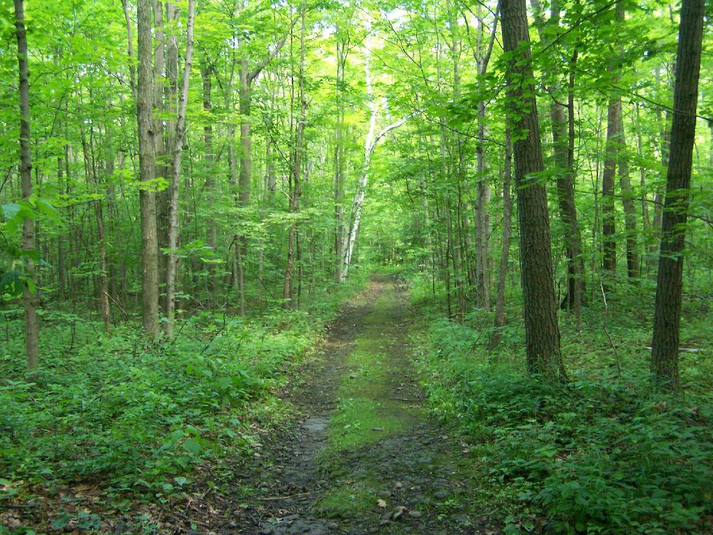
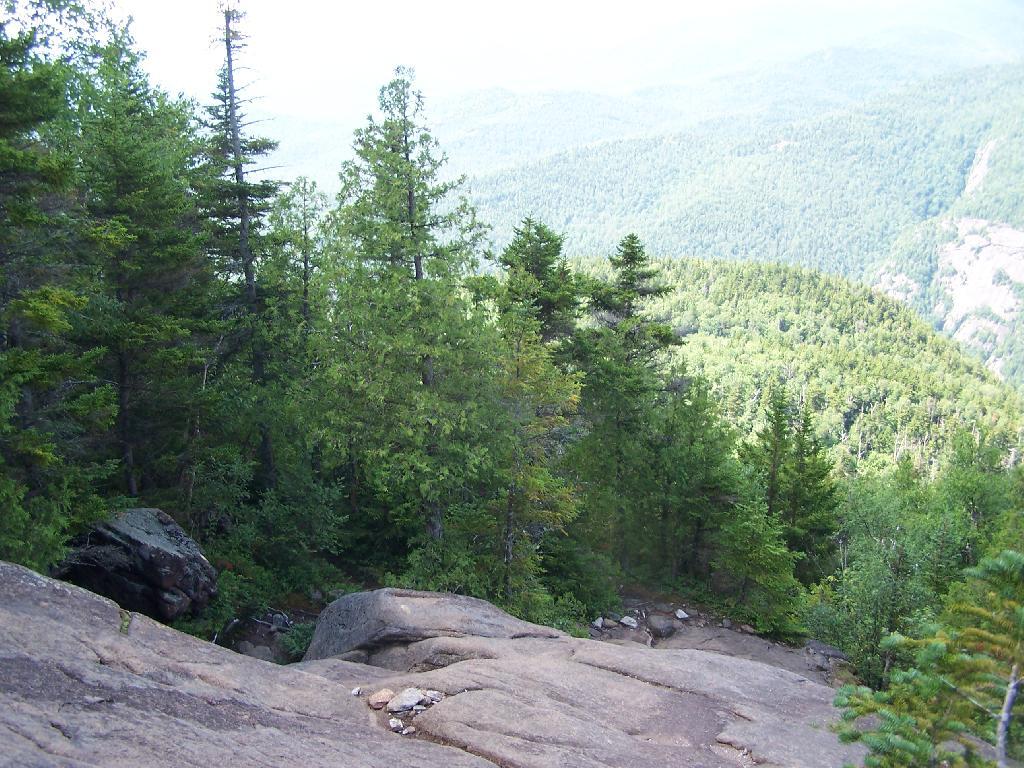
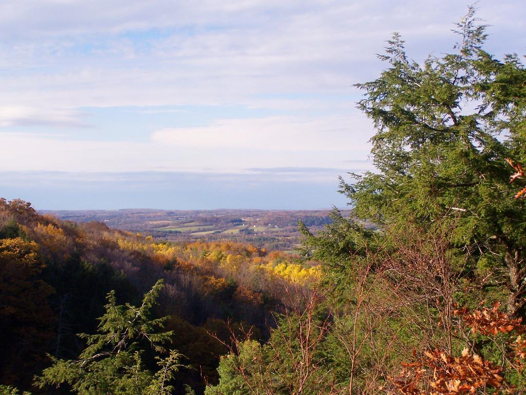
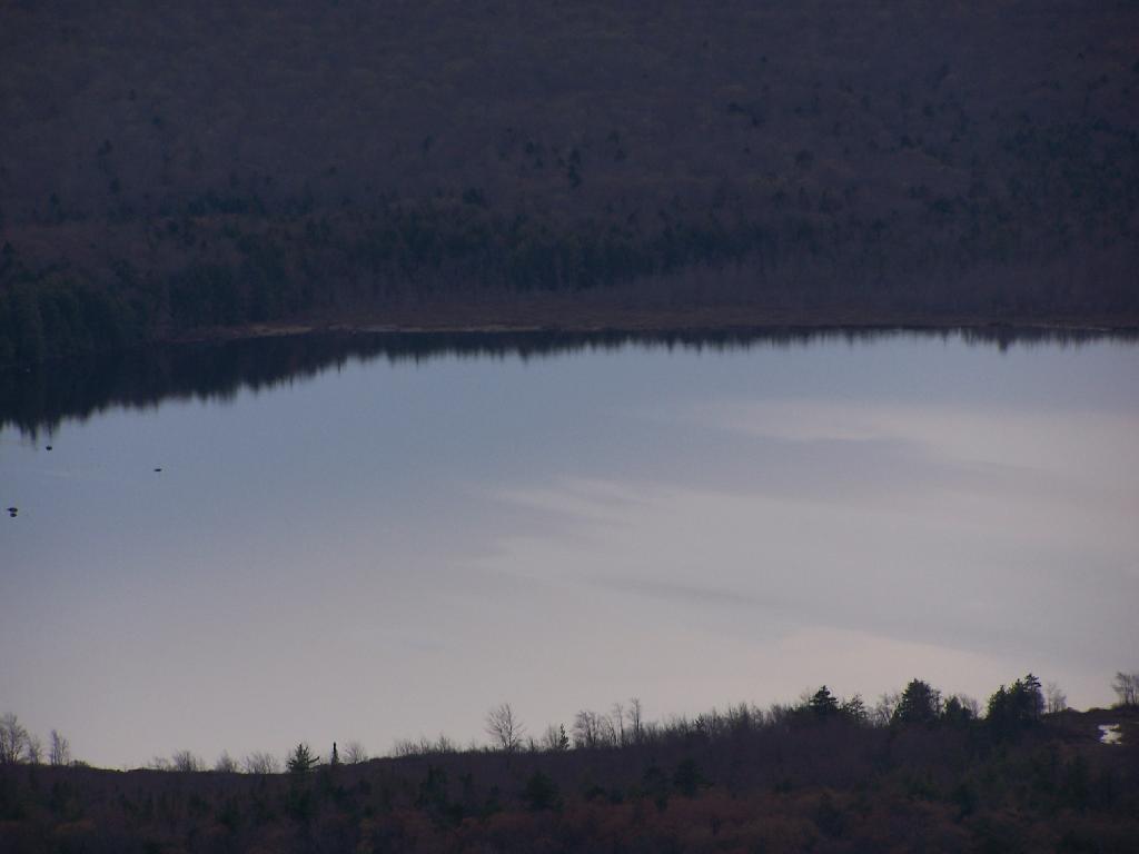
On June 20, prior to going out to the folks house, I decided to go for a little walk at the OSI Parcel of Thacher Park, from Carrick Road down to High Point, then to Hang Gliders’ Point. While very hazy, it still was a beautiful day.
Parked at the old Blue Stone Mining Pit, with the “Stone Sculptures”.
At the 3 Mile Ski Trail Loop Intersection.
Hiking down an old-woods road that I accidentially followed too far and went right past High Point.
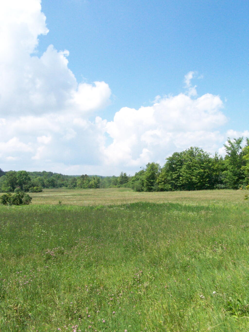
I ended up in this big hay field bordering the OSI Parcel that has a trail running through it via a landowner easement.
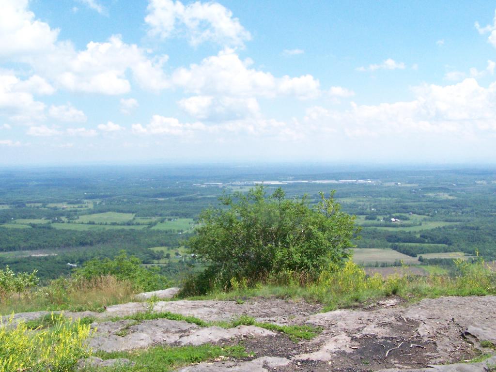
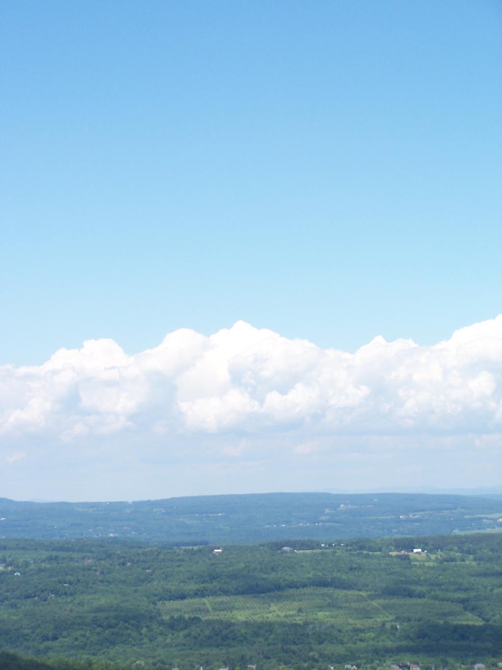
And I finally found my way to the High Point Overlook, in the haze.
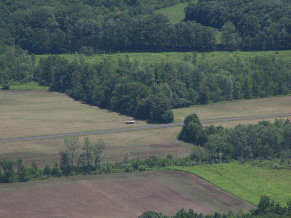
Looking down over the Altamont Fair Grounds.
You could see the corn just starting to pop up along Brandle Road in Altamont from the overlook.
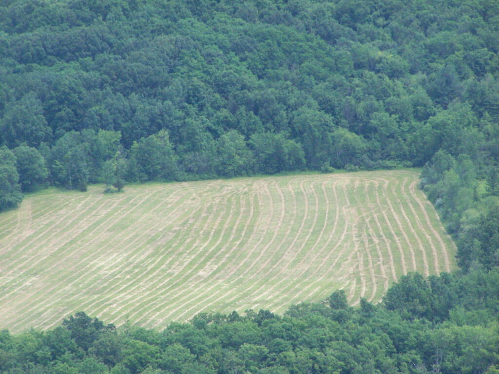
And where a farmer had just cut some fresh hay below.
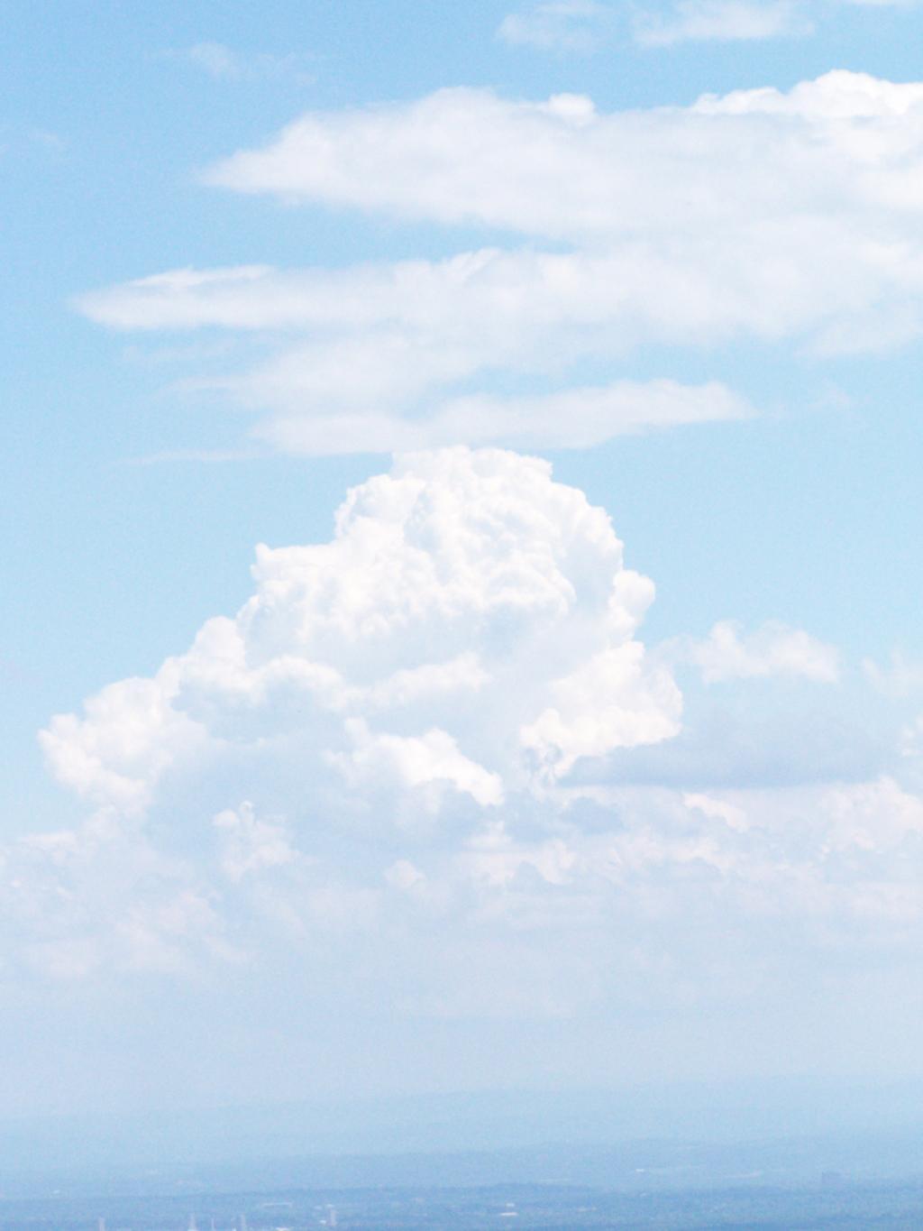
A pretty cloud.
Looking off High Point onto land below.
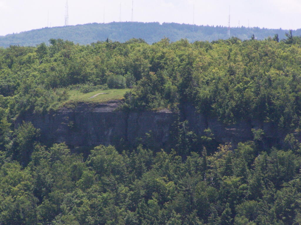
Hiked over to Hang Gliders’ Cliff.
View from the unmarked trail to Hang Glider’s Cliff.
A Hang Gliders’ Cliff.
Low clouds hung out and over Settles Hill.
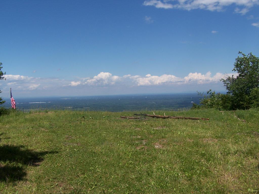
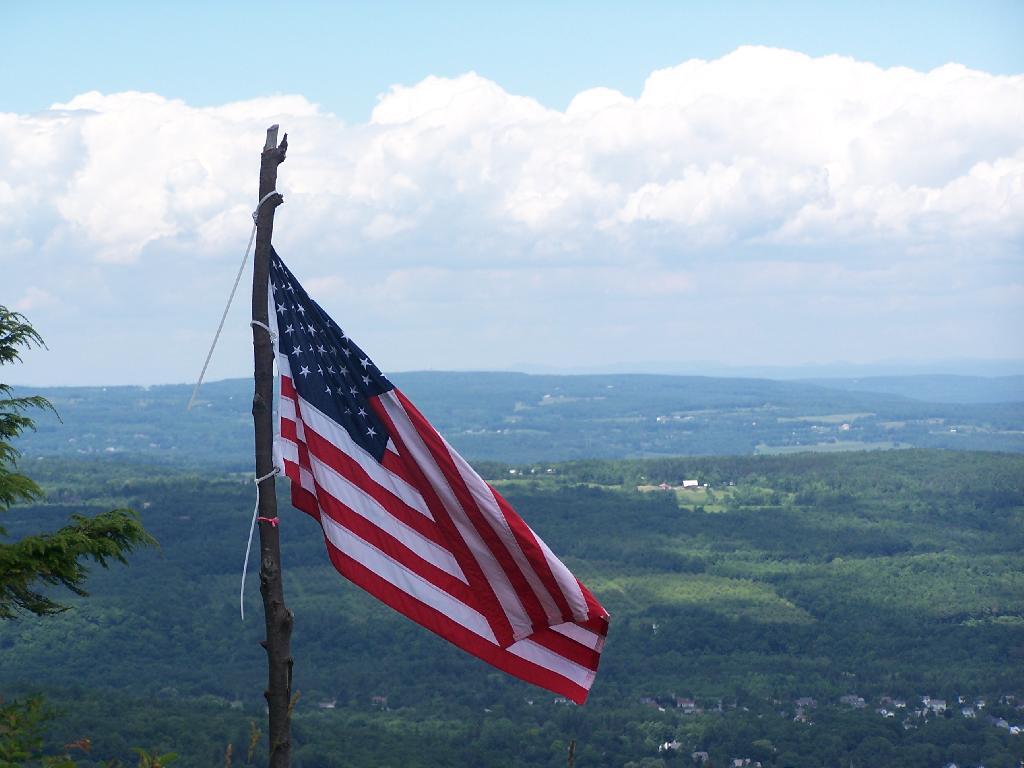
Somebody had hung a flag at Hang Gliders Cliff.
Hiking back to the pickup truck saw this cute little flower.
It was hot! Yet, it was nice to at least get out and do a lot of hiking during this very hot and humid weekend.
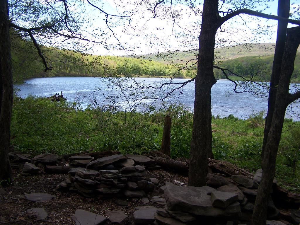
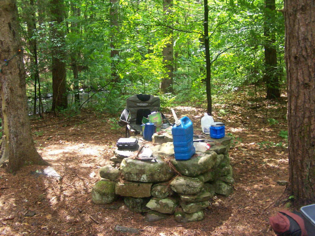
My truck broke down on Memorial Day Weekend heading out to Burnt-Rossman State Forest, losing it’s brakes once again. After finally getting them fixed, I got out there for the first weekend of June 2010. I wanted to camp up top of Eminence hill, but due to logging in that area, I settled to camp down in my old favorite place, the small primitive campsite along Betty Brook.
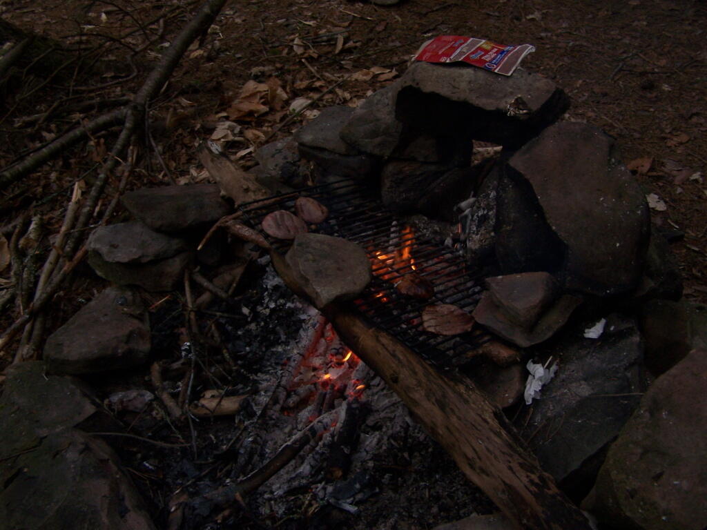
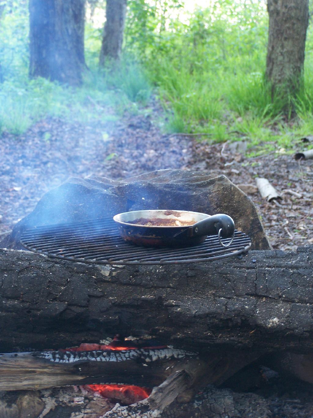
At first, I couldn’t find any dry matches. But then after an hour stumbling around with the cigerette lighter in the truck, and a box a wet matches, I got some paper started, and off I went cooking dnner.
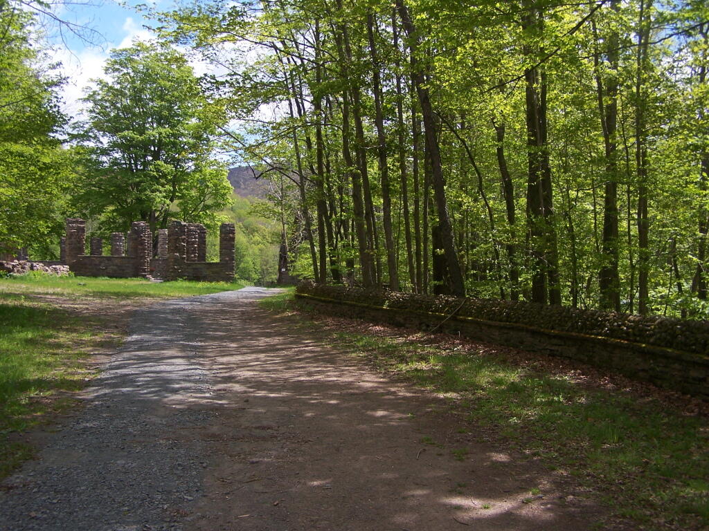
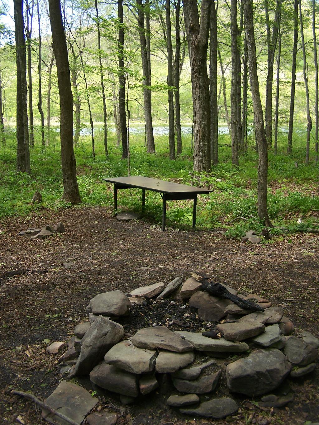
Not much has changed at this camp site from last year, or actually in early April when I last camped here. Things are a bit more green for sure though.
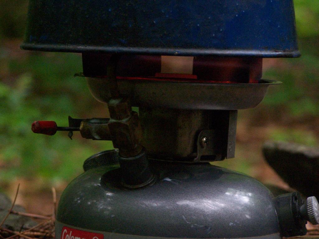
I was quite happy to see that my little white gas stove was well behaved, and not leaking. Last year, when I was cooking something, the gas valve leaked, and the stove’s gas valve and I think also tank caught on fire (!!) I moved the stove away from everything, and fortunately it did not explode.
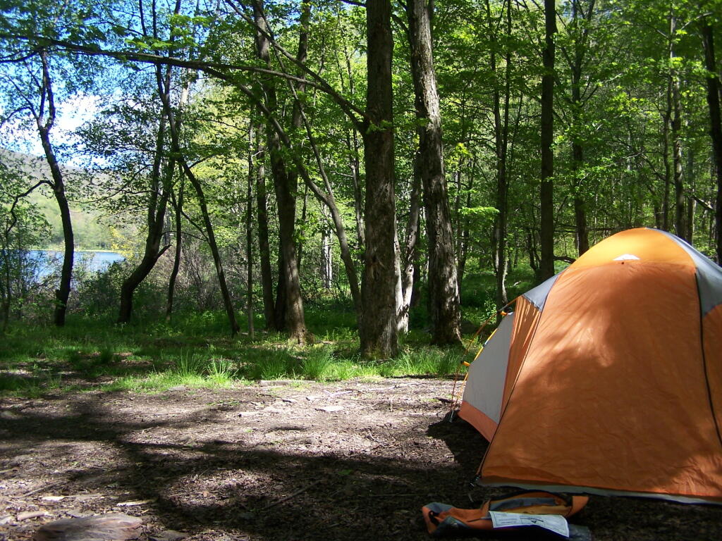
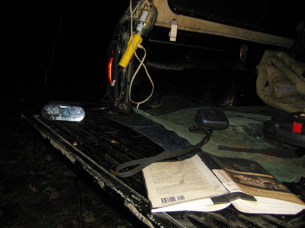
At night, space is a little tight, so I have to stick all my crap up in the cap of my truck. It’s not a great situation having so little space, but I guess it works okay for now. In a thunderstorm, I can still get into the drivers side, despite having a lot of the camping crap packed in passenger side.
Despite the heavy rain in the morning, it was a nice night up there. From here, I went over to Luthernville State Forest and Clapper Hollow State Forest to explore some of those lands, in my truck.
Here is a map of Betty Brook, in case you don’t know where it is by now. Next time I camp up here, I will probably camp either at the lean-to or up by Doney Hollow Pond on Burnt Hill Road. I haven’t camped up there since Labor Day Weekend 2006.
There has been for quite some time some confusion in downtown Albany, on whether or not Hamilton Street is the Adirondack or Catskill Mountains. After all, this street is known as “Environment Row”, and is home to a cluster of environmental lobbyists, who think they represent the interests Adirondacks and Catskill Mountains.
Of course as Google Map informs us, Hamilton Street is nowhere near either the Catskill Mountains or the Adirondack Park for that matter. It’s kind of in the middle, in downtown Albany.
Of course, if you want, you can take Hamilton Street to South Swan Street (a one way street), which takes you to South Mall Arterial (an expressway), which ultimately takes you to Interstate 787 North, which you take until Alternate Route 7, and ultimately the Adirondack Northway, which within 60 miles takes you to the Adirondacks.
Alternatively, you can take I-787 South to the Thruway or NY 32, and get to the Catskills that way. So while Hamilton Street, is the most convenient way to get to I-787 Arterial to take you the Adirondacks or Catskills, it’s not either the Catskills or Adirondacks.
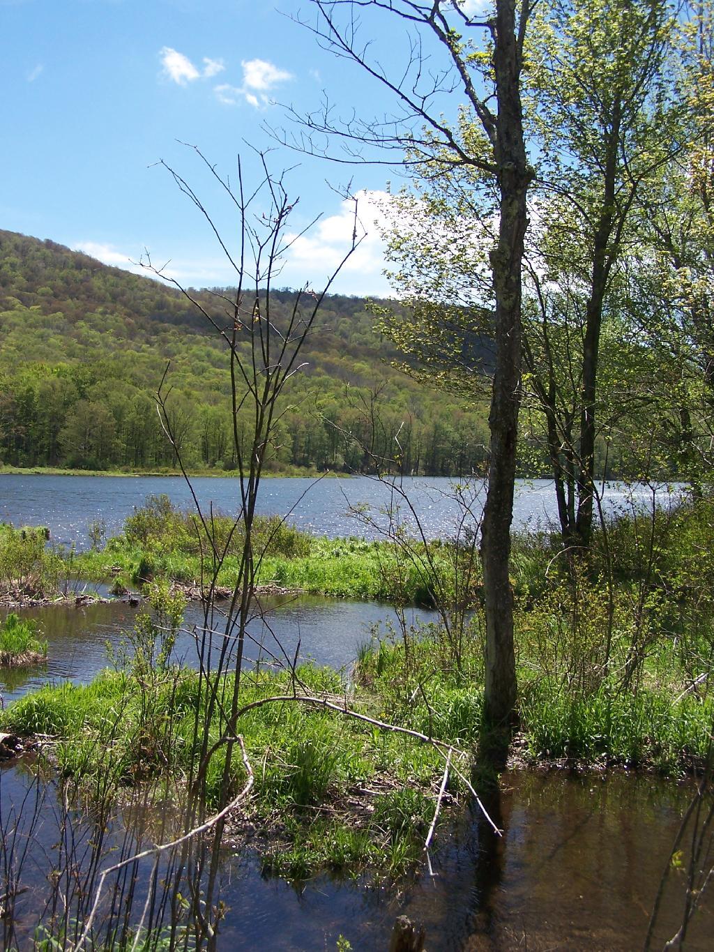
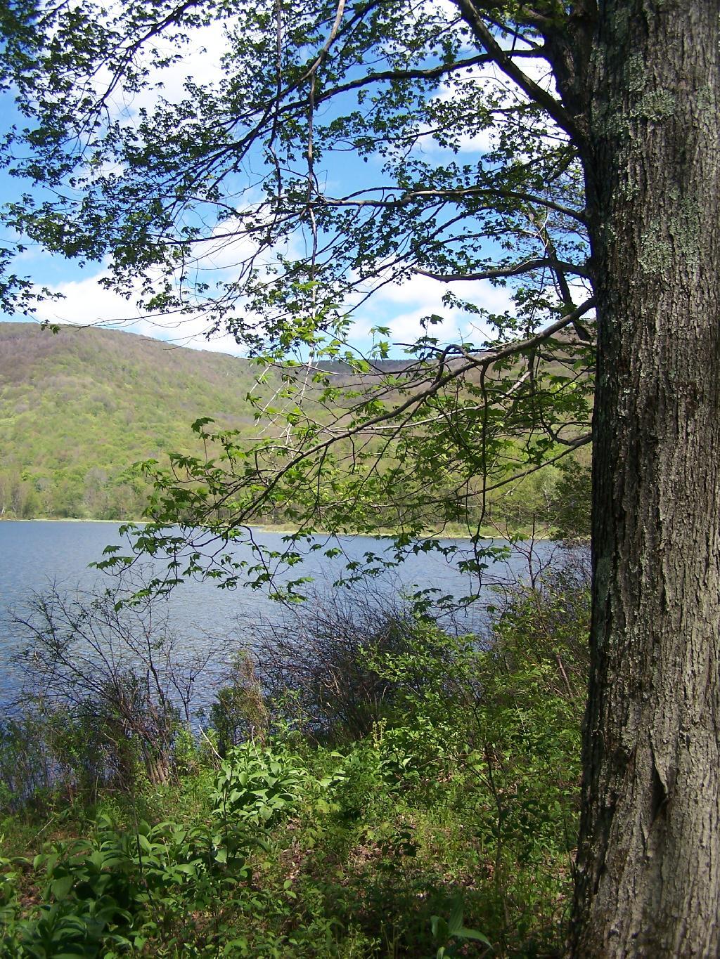
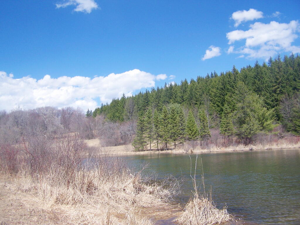
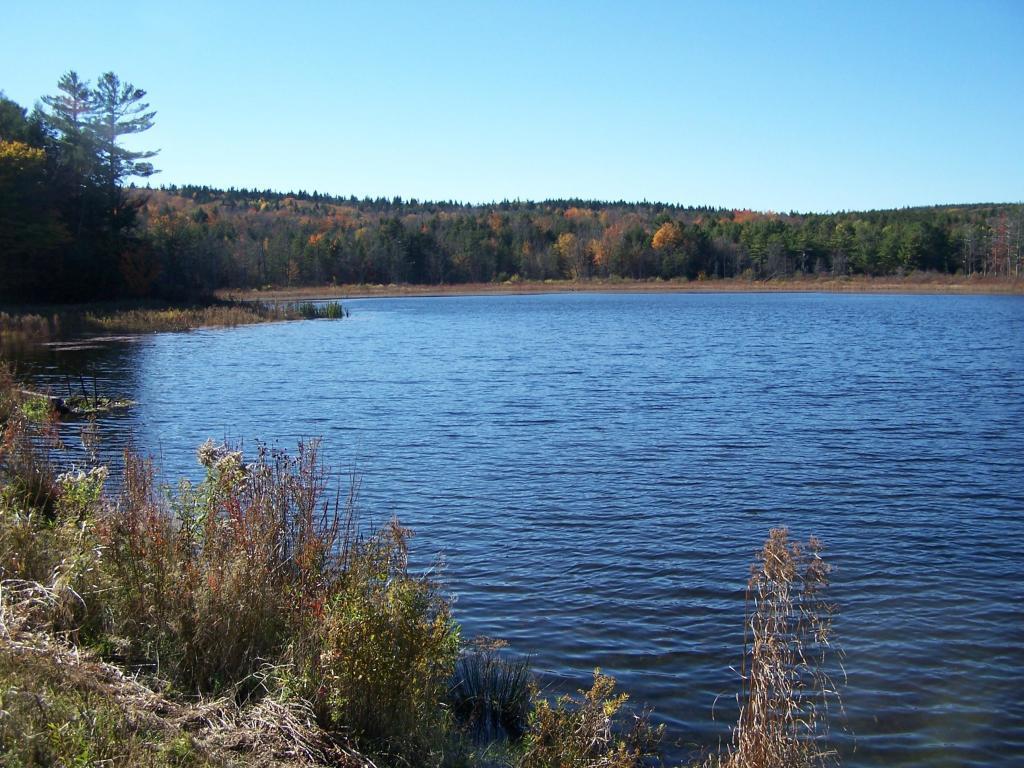
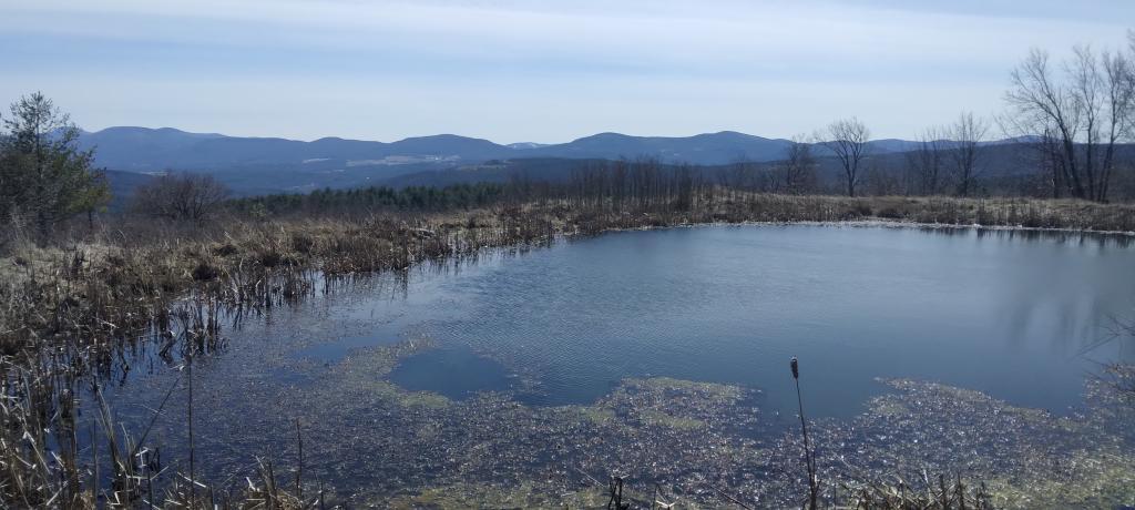
In the western Catskill Mountains, near Margretville and the Pepacton Reservior is Alder Lake, and old resort lake that is now State Forest, and offers primitive camping around the lake. It is backpack only in, however it is a short walk from the parking area to the approximately 7 designated primitive campsites around the lake.
The 77-acre man-made lake, is handsomely surrounded by a high mountains of the Mill Brook Range, and other unnamed mountains. It is a 6-mile hike to the east to get to Balsam Mountain, home of a fire tower.
Setting up my tent at one of the campsites.
The 1.5 mile trail around the lake has several interesting views of the lake.
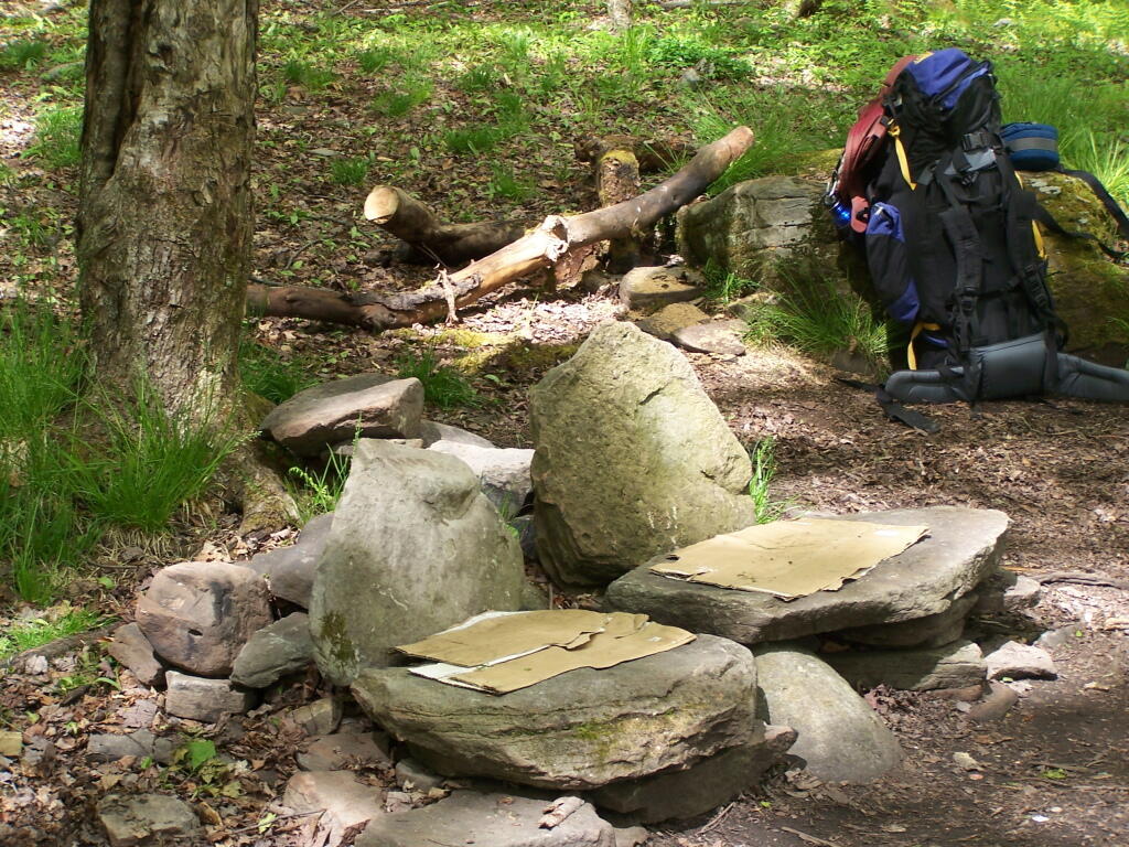
Several of the campsites have stone chairs, and other things made out of natural products.
For today’s fodder, we will be checking out some of the land features of Partridge Run from Google Maps Satellite pictures.
1) The Gulf.
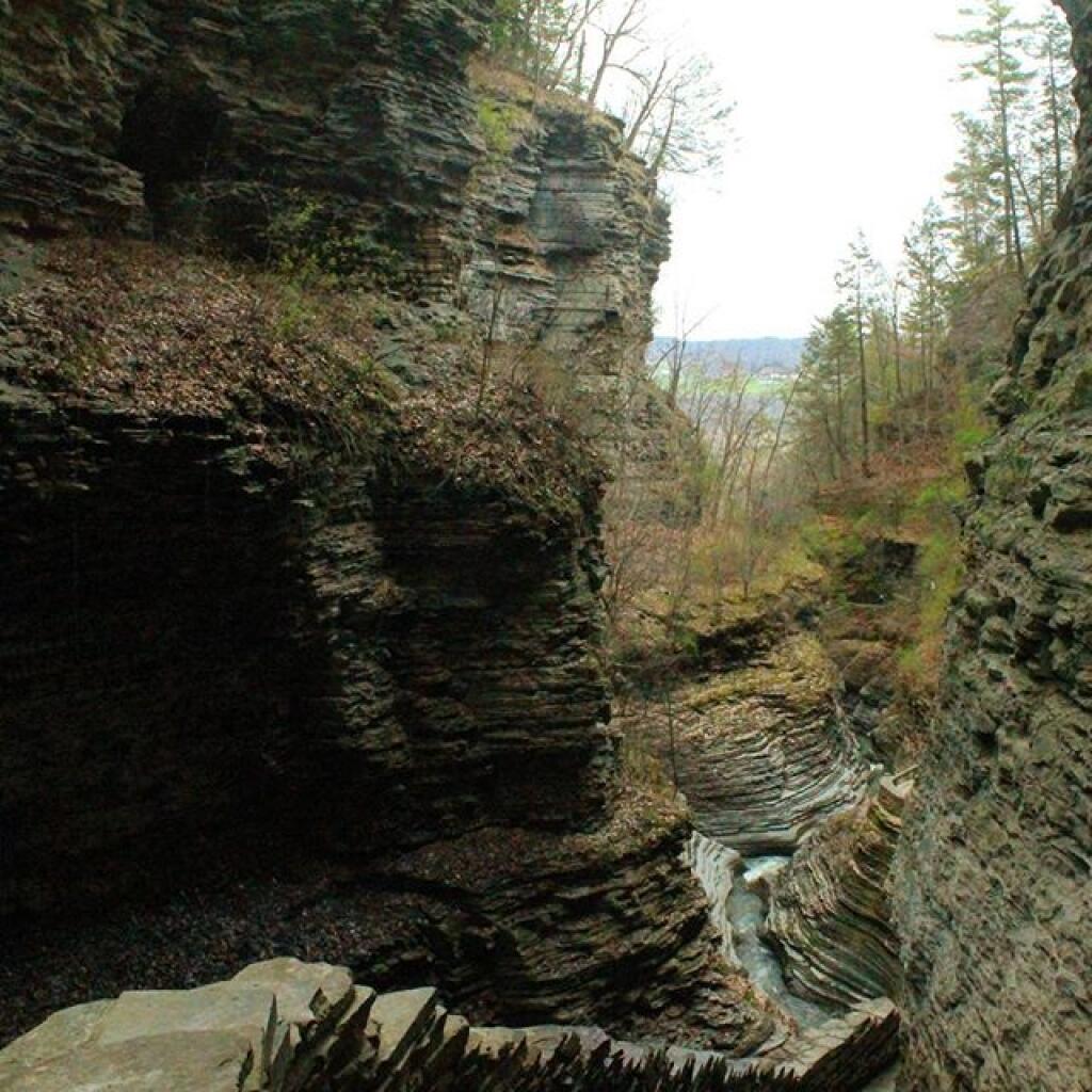
The Gulf is one of the most notable features of Partridge Run. A deep cut into the land, it’s cliffs are steep. Going in their, you find plants and animals that can survive only with darkness for long periods of time.
This is the gravel pit off of Peasley Road. It’s the biggest gravel pit at Partridge Run, and always an interesting place to explore, with shot up targets and other interesting places.
Kane Mountain is located next to Canada Lake, which is just north of Caroga Lake on NY 10. I hiked up there one evening, after spending the day hiking in the South-Central Adirondacks. It is a wonderful, quick hike, perfect after a long day of hiking or outdoor activities as one heads back to the Mohawk Valley or Albany as the case may be.
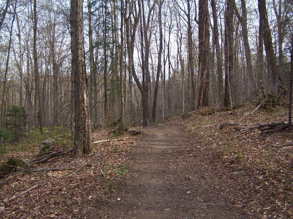
The trail up Kane takes you up about 500 feet in elevation over a 1/2 mile. It’s an old woods road, and well traveled, so don’t worry about hiking after dark if you have a flash light or even just moonlight.
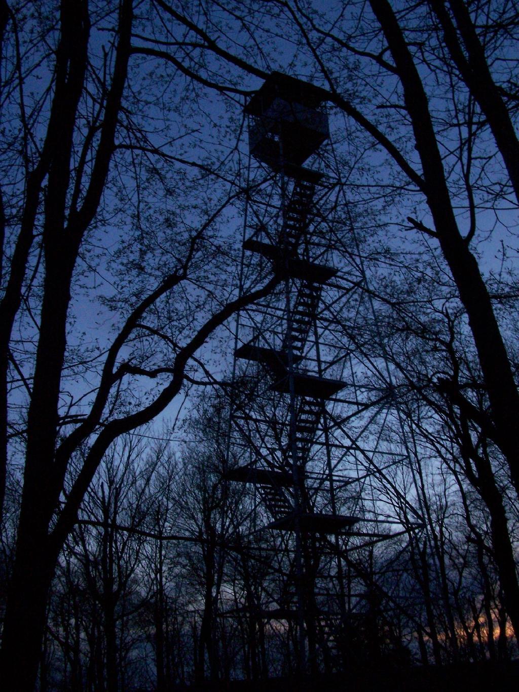
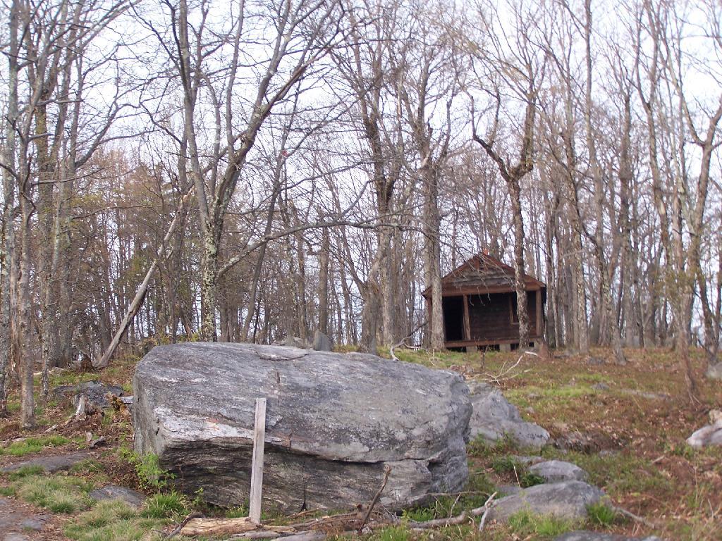
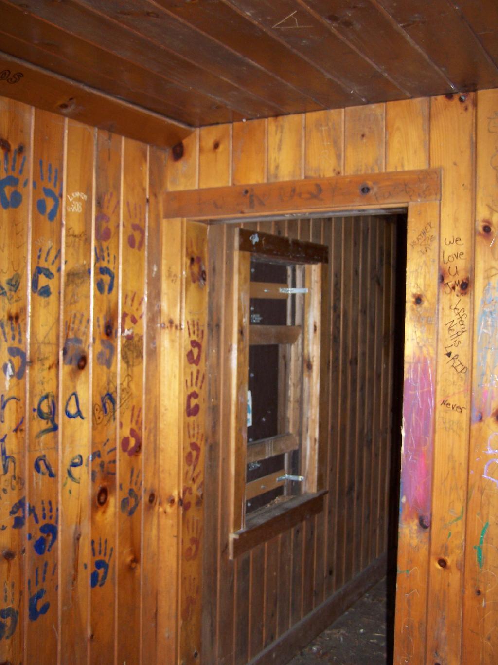
Reaching the top of the mountain you reach the Firetower and an old Forest Ranger’s cabin, which sadly has been broken into and vandelized. It still was interesting to walk in and take a look at the cabin, including the tiny little woodstove that once was there. The bunks and other furniture where long gone from it.
Remind me again why people have to be such pigs?
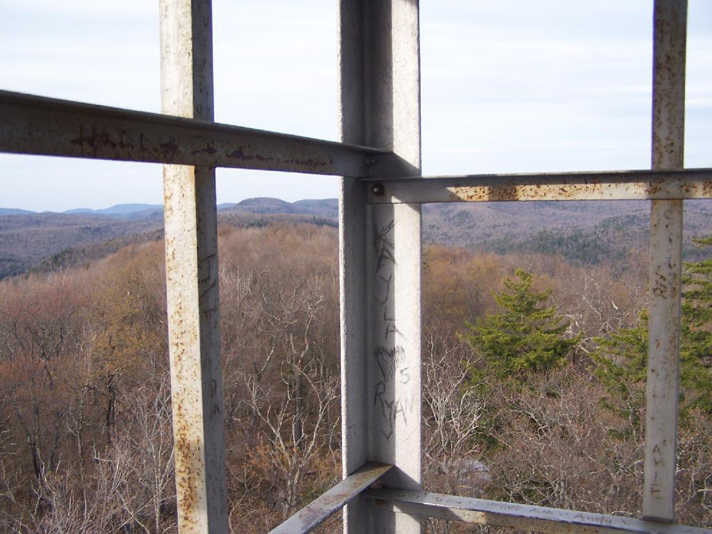
The Fire Tower has some really interesting views out of it, and it is an interesting place to watch the sun set from in the evening. Here is looking from the windows of the observer station, which have the glass removed.
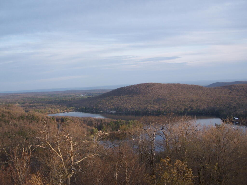
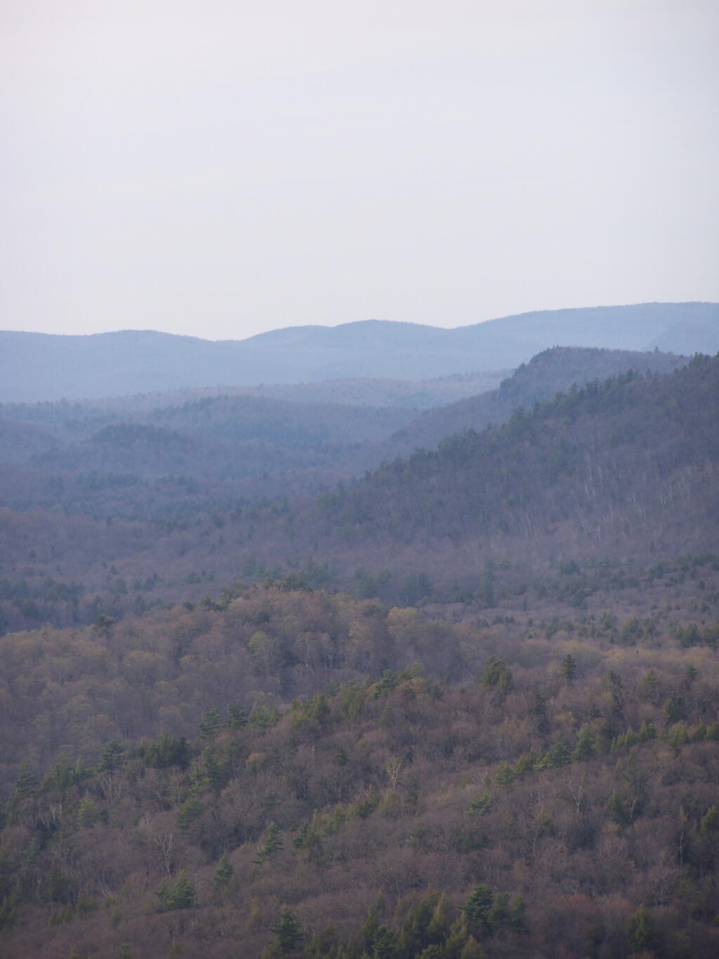
Looking due South, you can see Canada Lake, Sheely Mountain, and the Mohawk Valley to the South. Once you get South of Sheely Mountain, the area around Caroga Lake is relatively flat until you get to the other side of the Mohawk Valley, with the ridges Schoharie High Lands.
The light flickers over West Lake, which is connected to Canada Lake.
Looking at the Southern Adirondacks, heading North along the NY 10 Coridoor. Until recently visiting this portion of the Adirondacks, I always generally viewed these lands as relatively flat, but instead as this picture shows, actually is fairly rugged, with peaks in the 2,000-2,500 elevation range, which is about 500-1,000 above the valleys below. Not flat exactly.
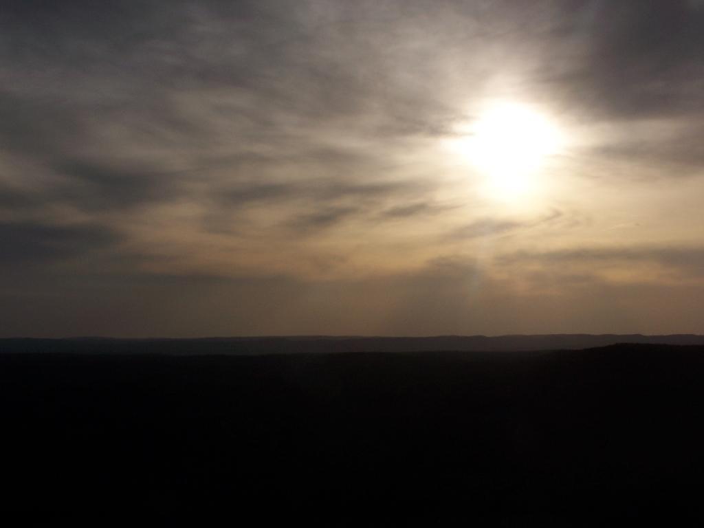
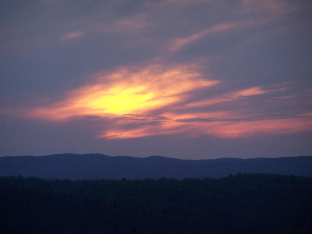
Watching the setting sun from the Fire Tower.
Through the tower windows in the cab as the sun sets.
Due to the clouds, it wasn’t a perfect sun set, but just before the sun disappeared into the clouds, here is what I saw.
After sunset, looking at the fire tower by the last light of the day.
![Untitled [Expires August 8 2024]](https://andyarthur.org//data/photo_004387_large.jpg)