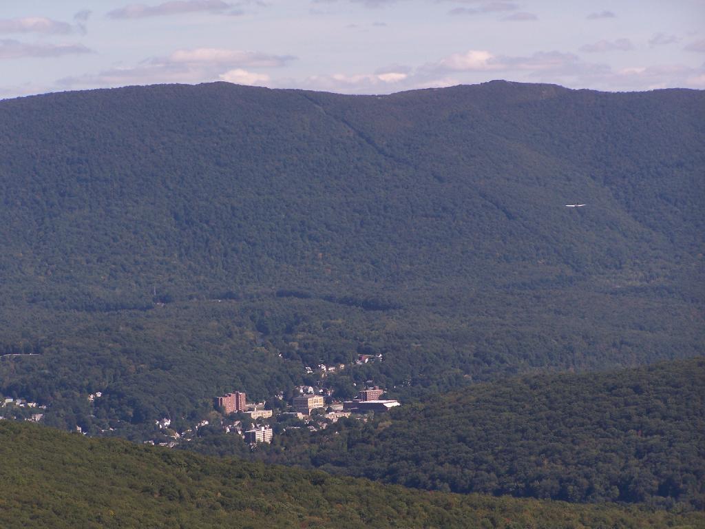
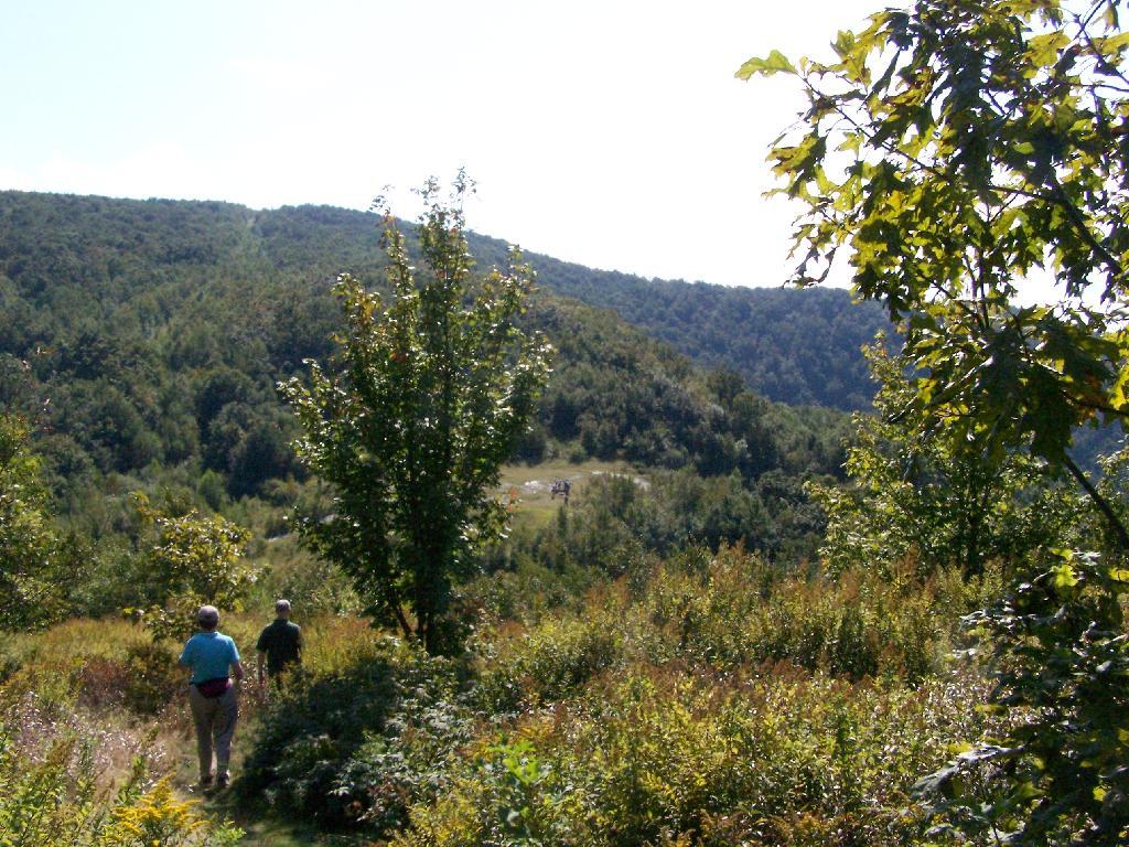
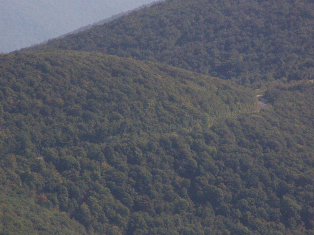
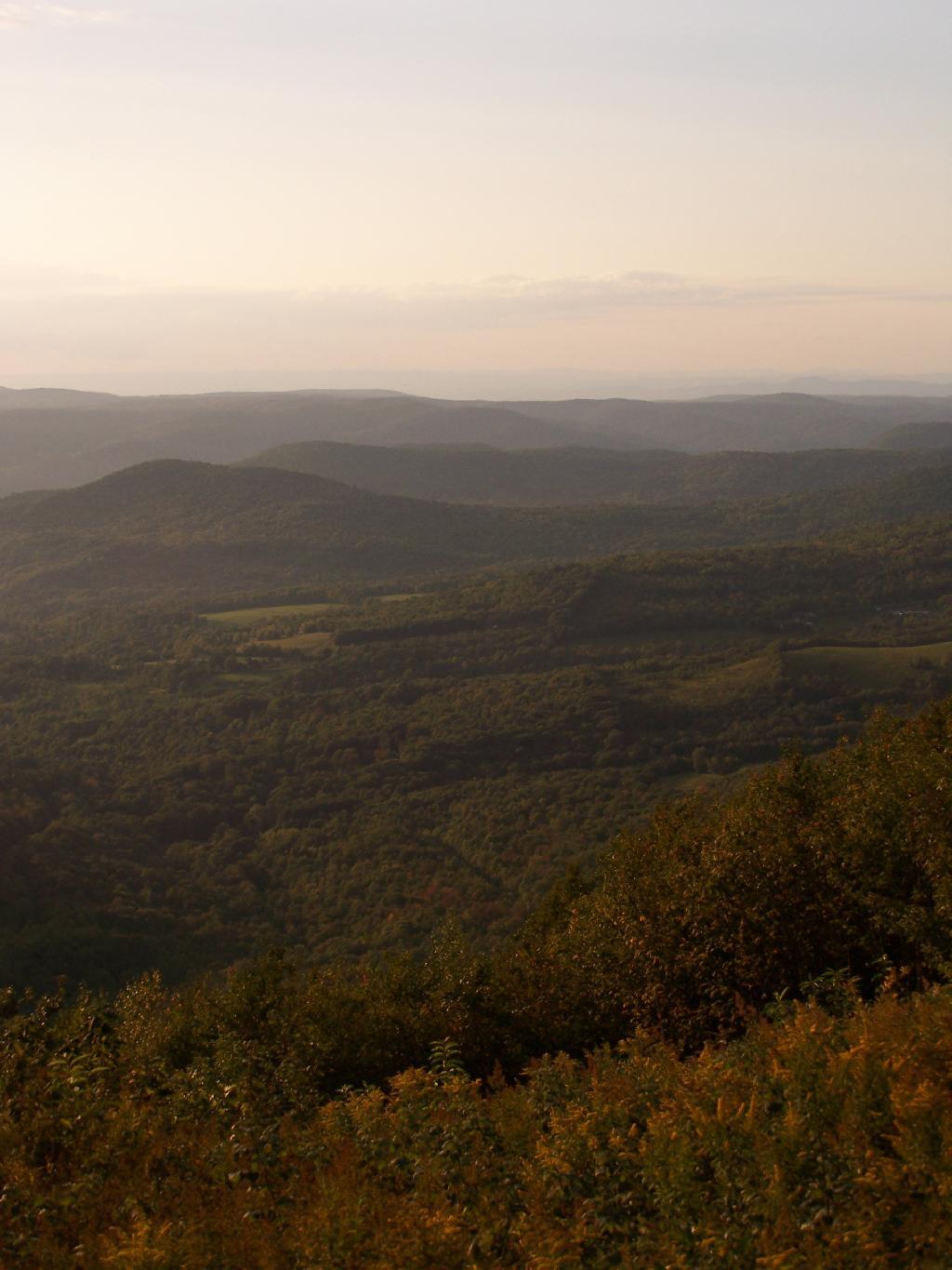
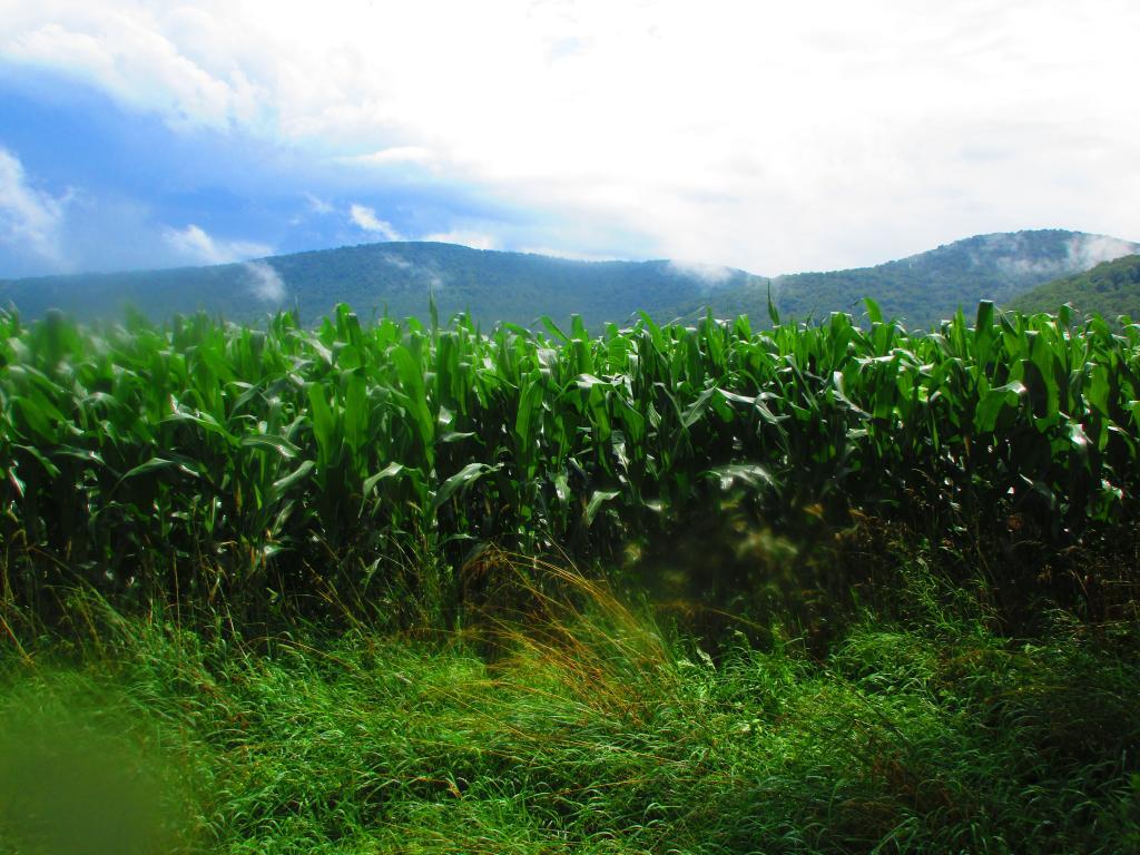
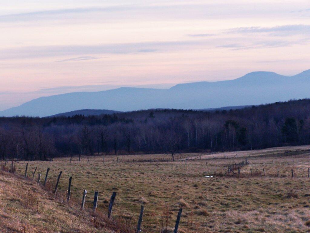
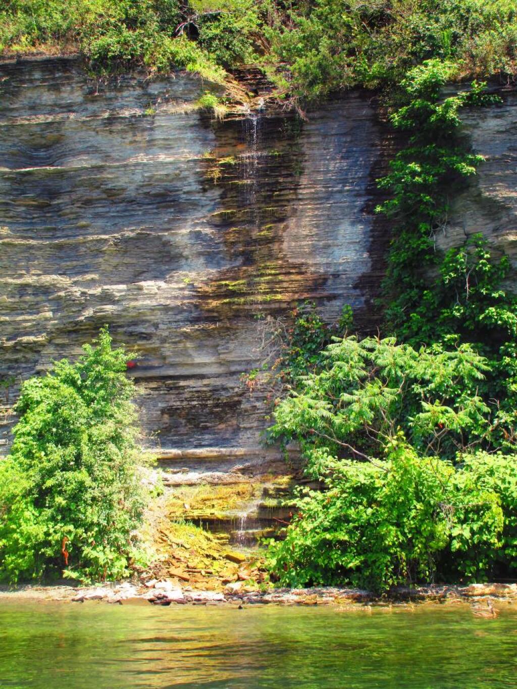
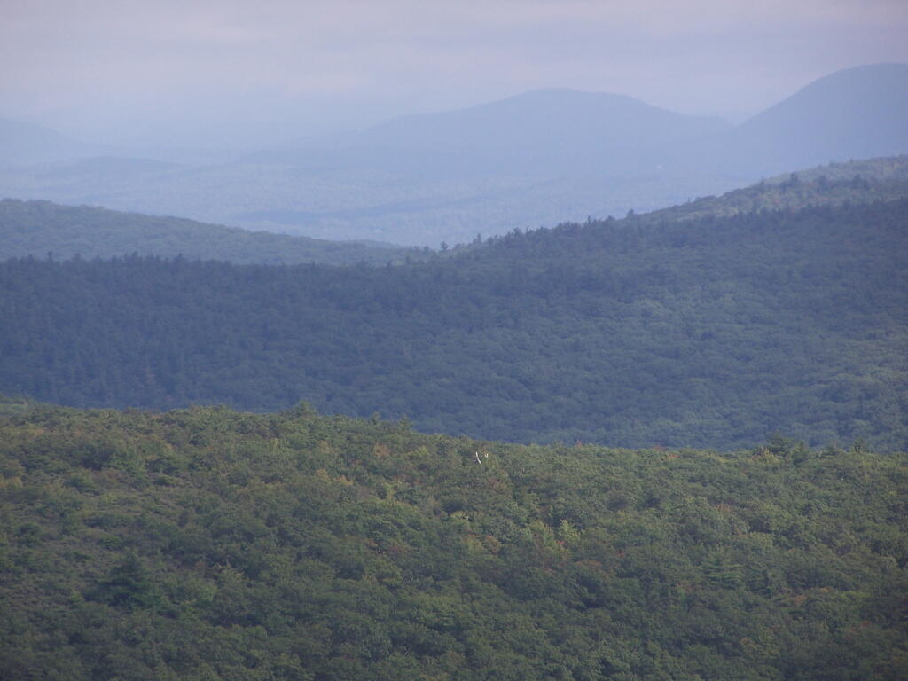
There are relatively few people who can say that they grew up in the shadow of the mountains. The mountains loomed large over the town I grew up, showing their large footprint as the rose out of the land just south of the town where I went to Elementary and High School.
While I lived most of my first 25-years of my life on my parents eight-acres, playing in the woods and in the creek, I went to school in Greenville, which is about 15 miles from the northern-most range of the Catskills. Those mountains loom large over the town as one proceeds south on the two-lane NY Route 32. At times, they look as though they must almost reach up to the sky, as high exists in the world.
They are an impressive feature. A routine feature to anybody who lives out by Greenville and sees them everyday, but still one that leaves a lasting impression on oneself. When I was younger I might have hiked the mountains a few times, but I never spent an extended period up there. I certainly could not have identified every peak from memory or been able to look up and know what it look likes on down. Today I can.
When I was younger I probably should have asked more questions and respected those mountains more. I should have paid more attention, and spent more time hiking them. Yet I didn’t. Regardless, those mountains, constantly hanging over the Greenville skyline had a persist ant impact on my life.
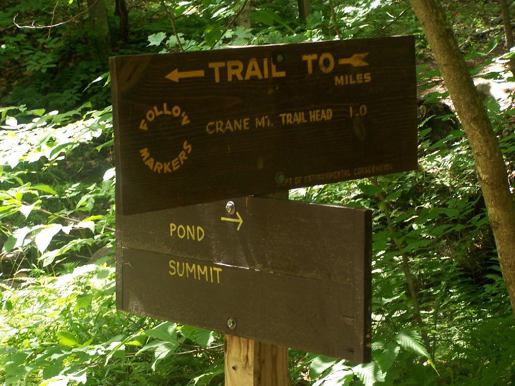
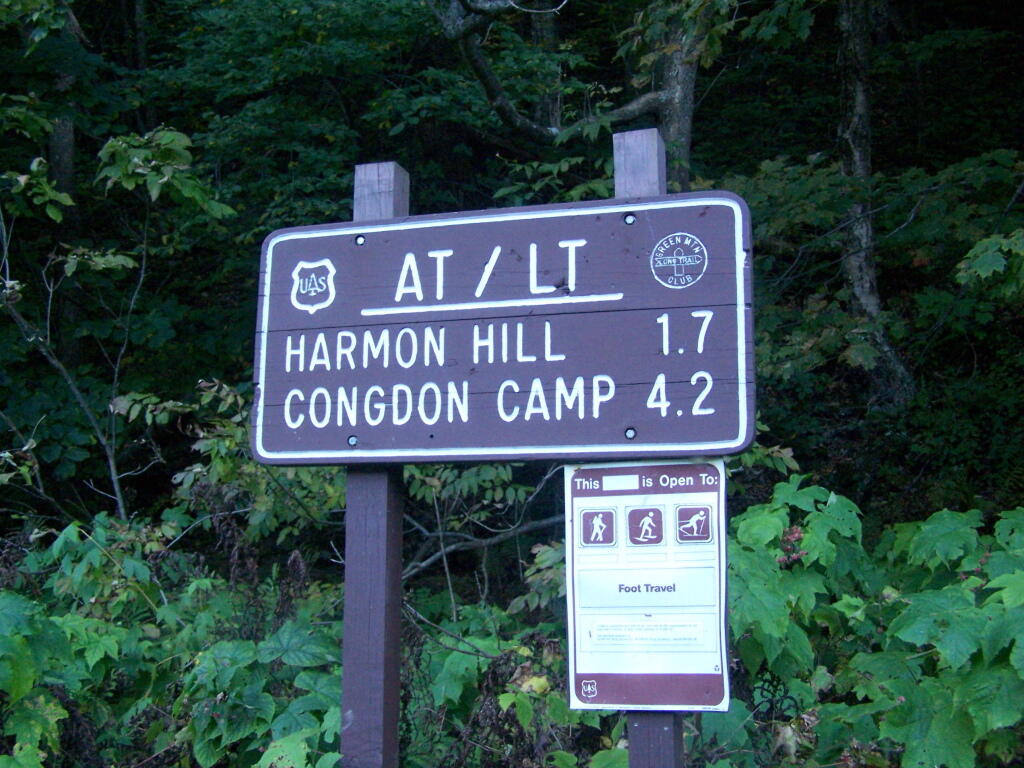
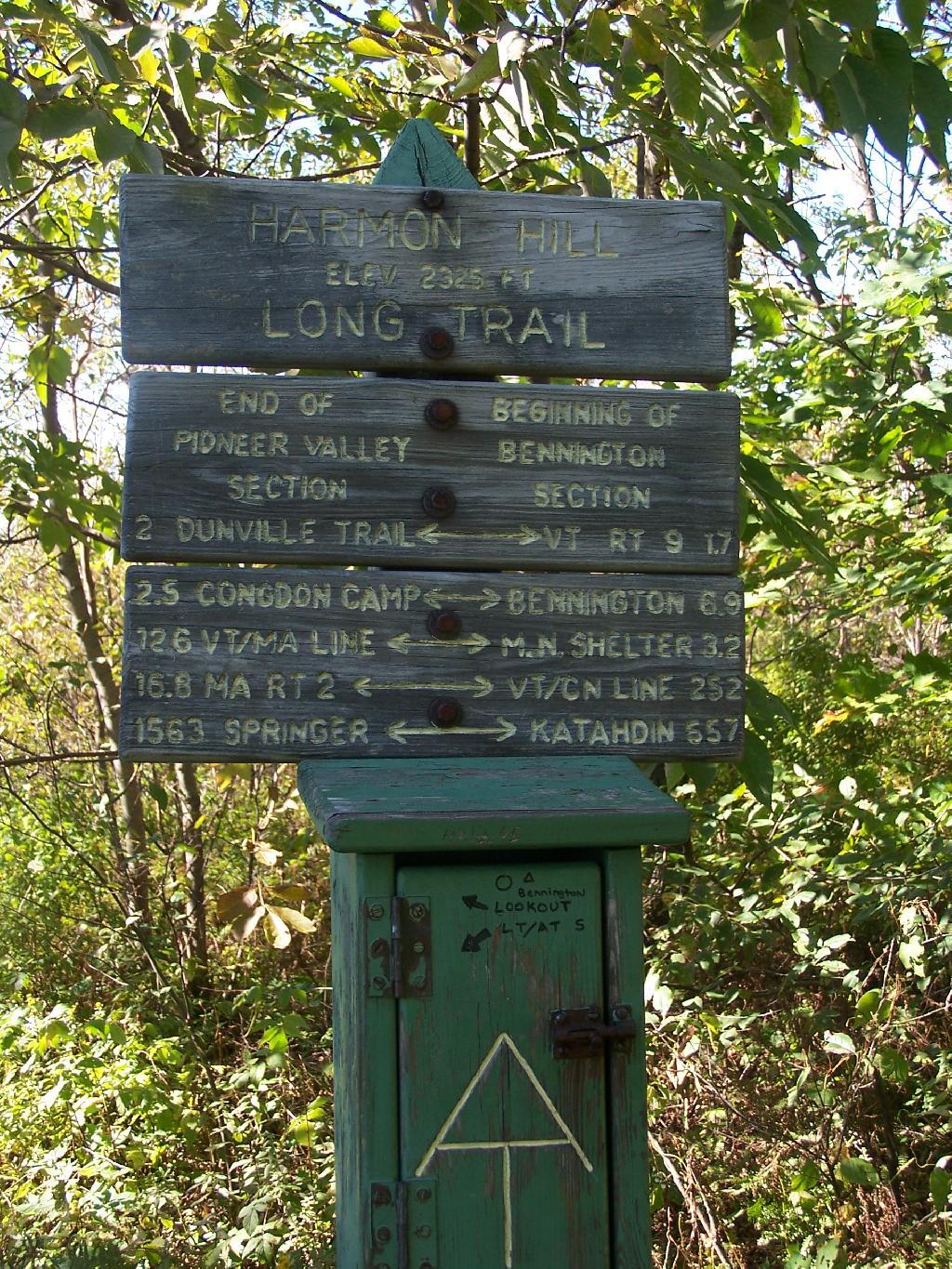
Harmon Hill is a short but steep hike outside of Bennington, VT. You go up some 1,200 feet in a little over 1.7 miles from the parking area deep in the Dunville Hollow just west of Bennington for modest views up north and west of Bennington.
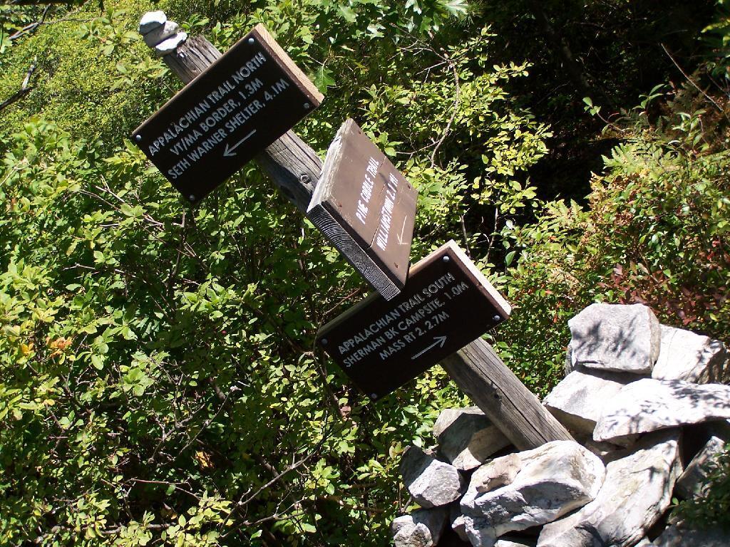
The trail up it is part of the Long Trail, which is duplexed with the Applachian Trail in Vermont. Here is the sign near the parking area.
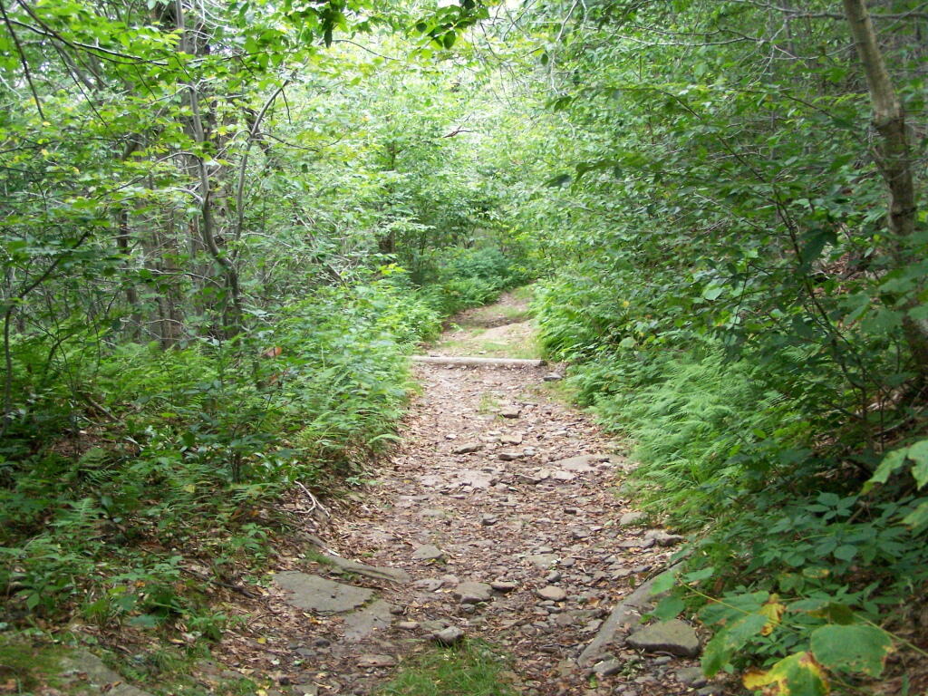
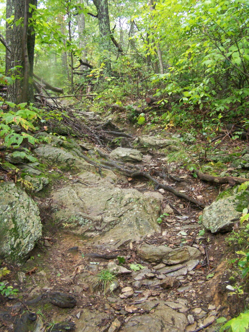
It is a steep 1 mile as you make most of the 1,200 ascent. There are not much views as you climb out of the Dunville Hollow, just a lot of rock-steps and steep switch backs as one climbs up the mountain.
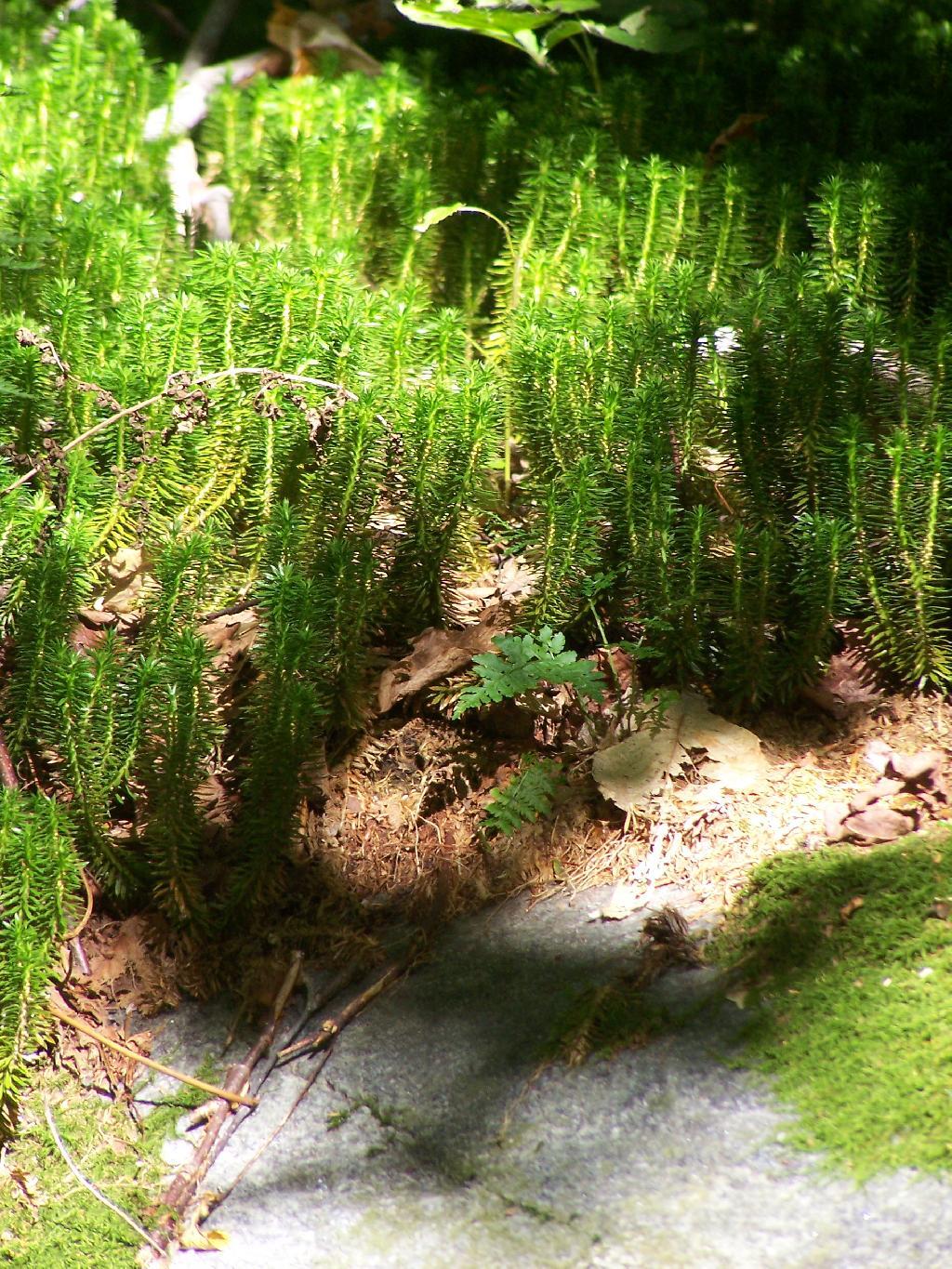
Likens along the trail.
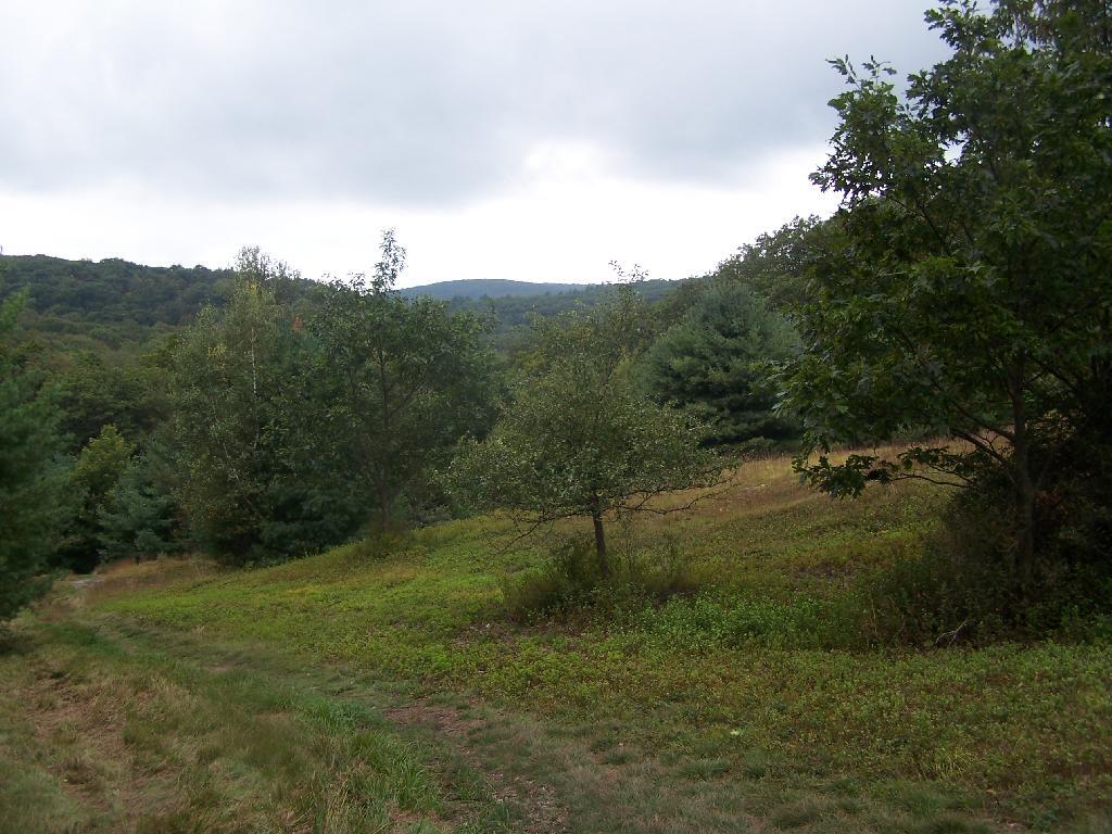
Once you almost reach the top there are many meadows.
A destination sign tells you that you’ve reached the Pioneer Valley section of the Long Trail and are starting the Bennington section.
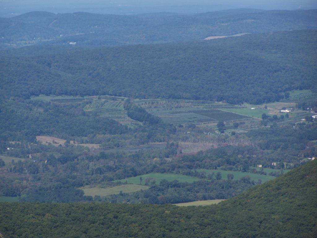
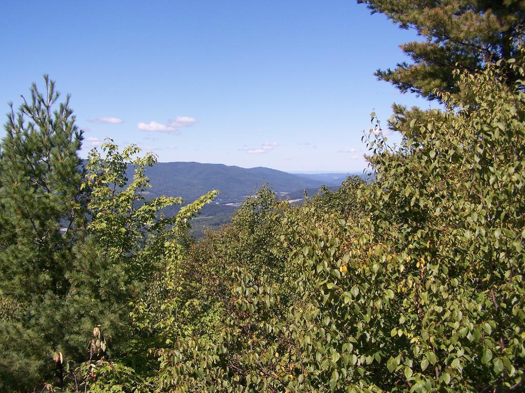
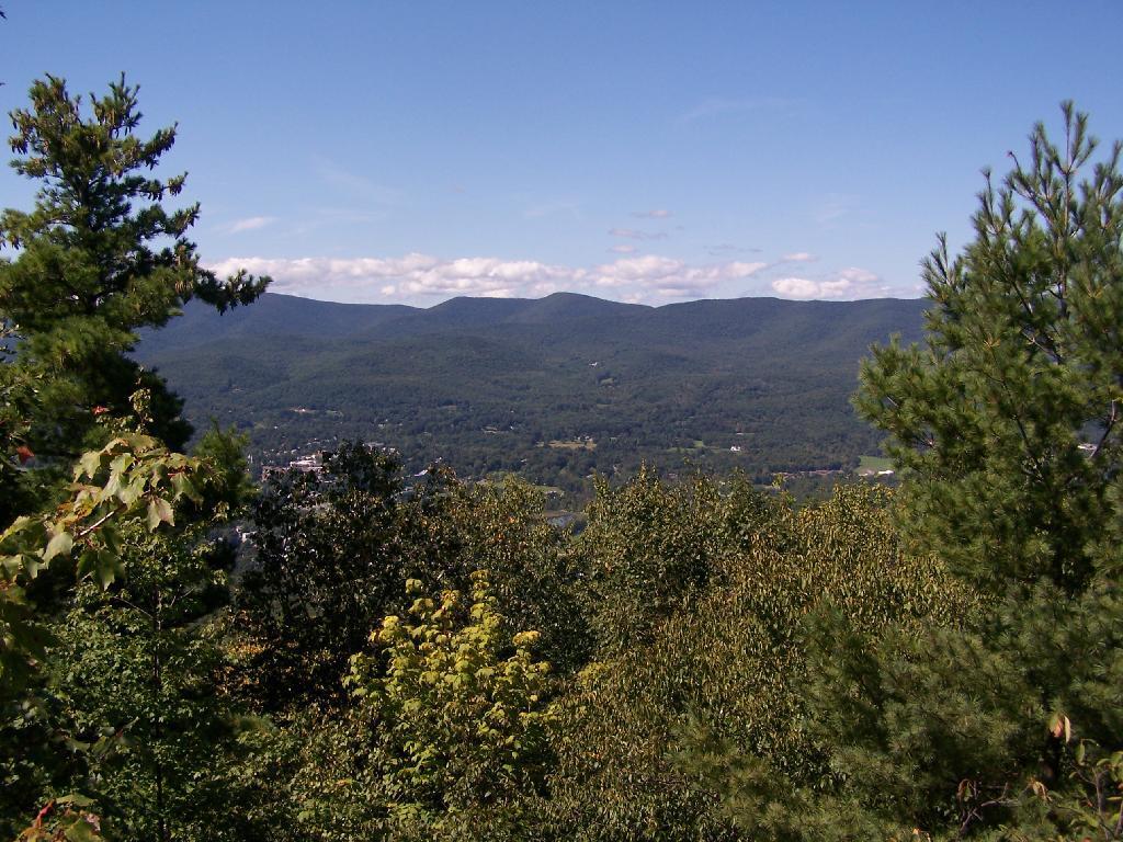
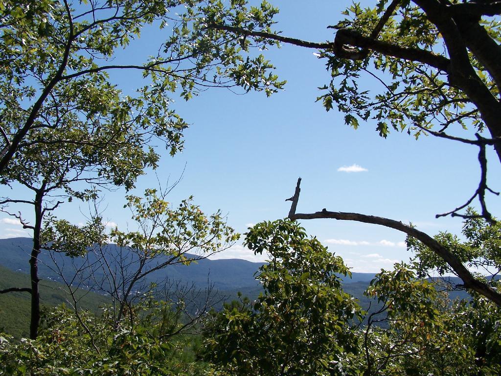
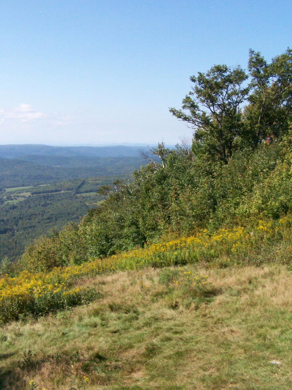
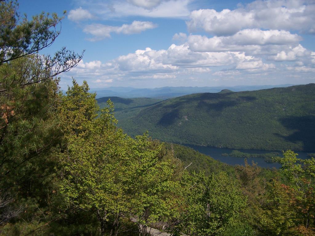
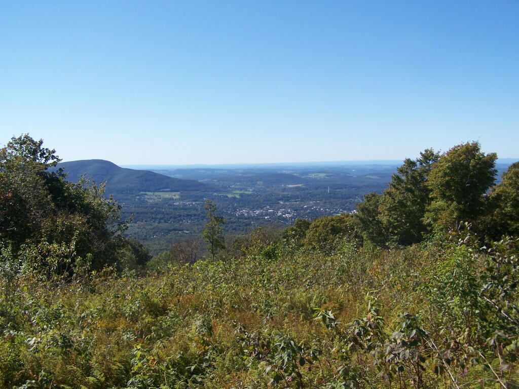
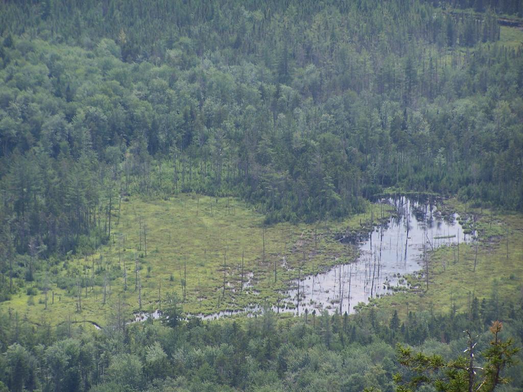
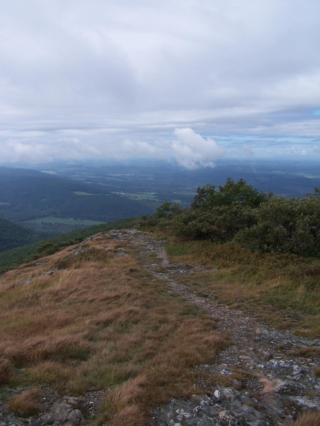
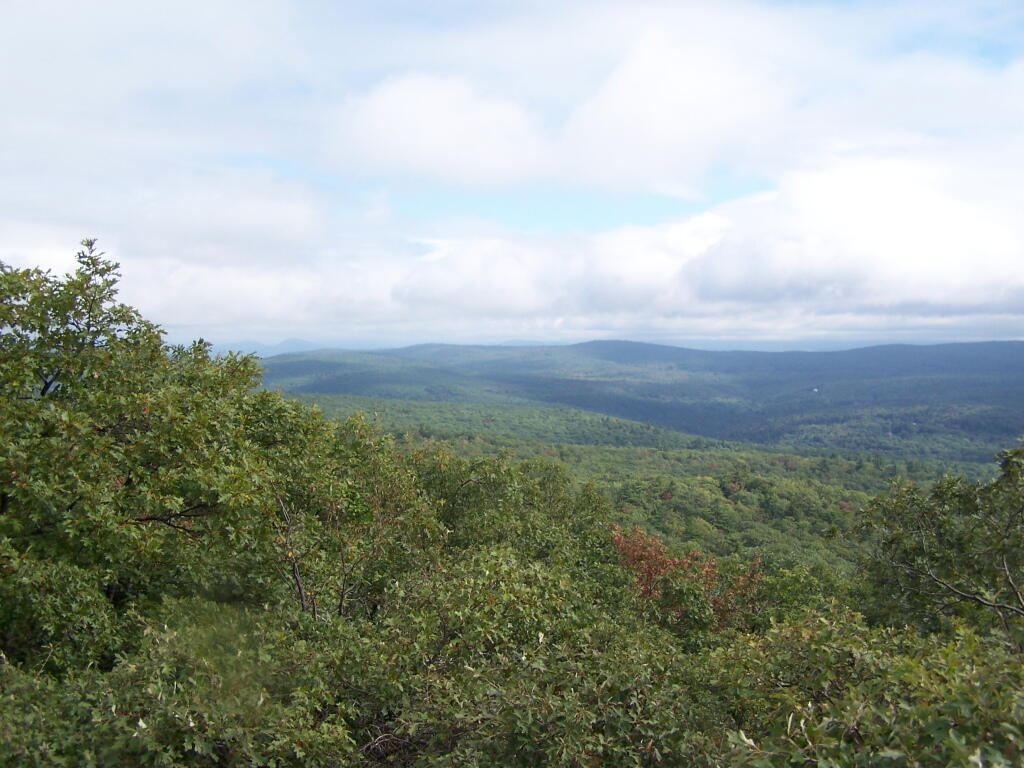
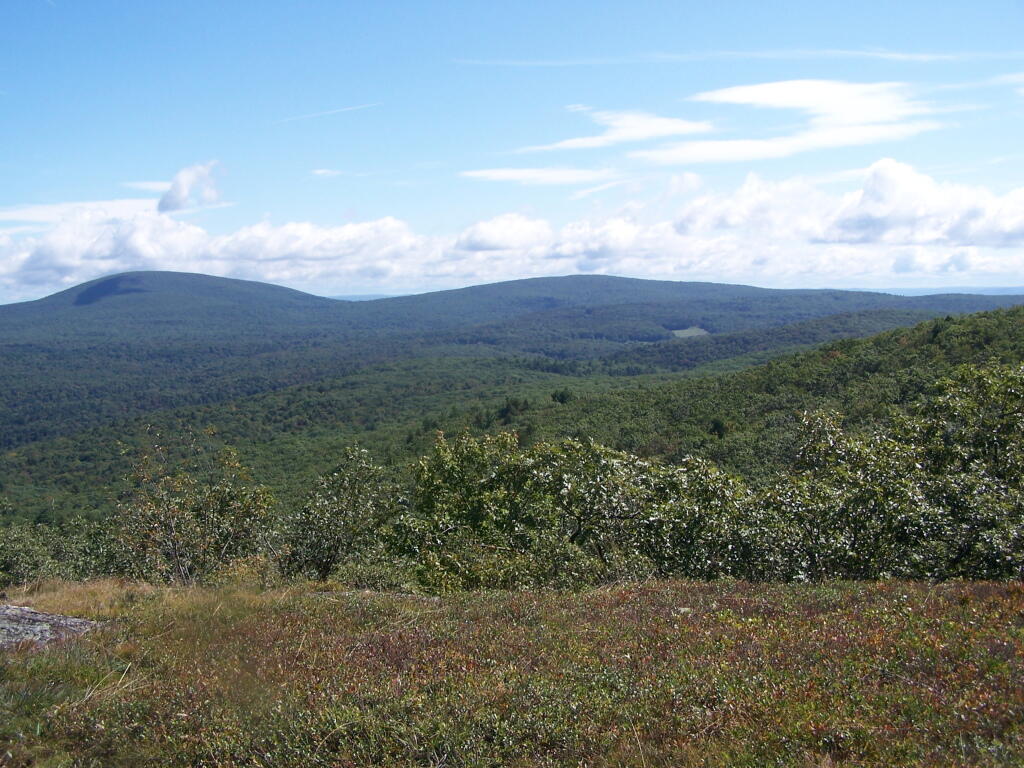
When you come to the top you have an interesting view of Mount Anthony, Bennington, and in the far distance the Champlain Valley and the Adirondacks.
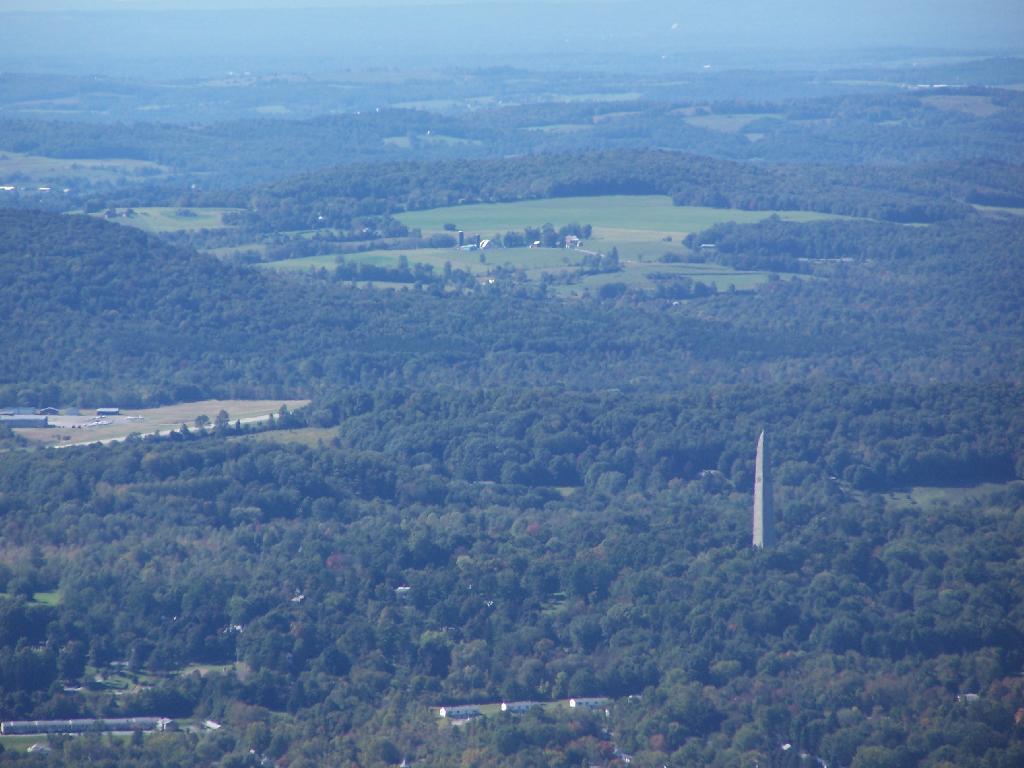
You can see the Bennington Monument and the surround farms near Bennington from the mountain.
Towards the North, you can see some of the Adirondacks towering over the much lower range of the Green Mountains, including Grass Mountain.
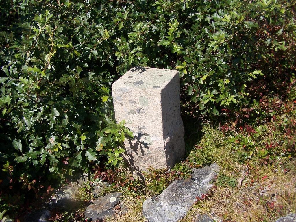
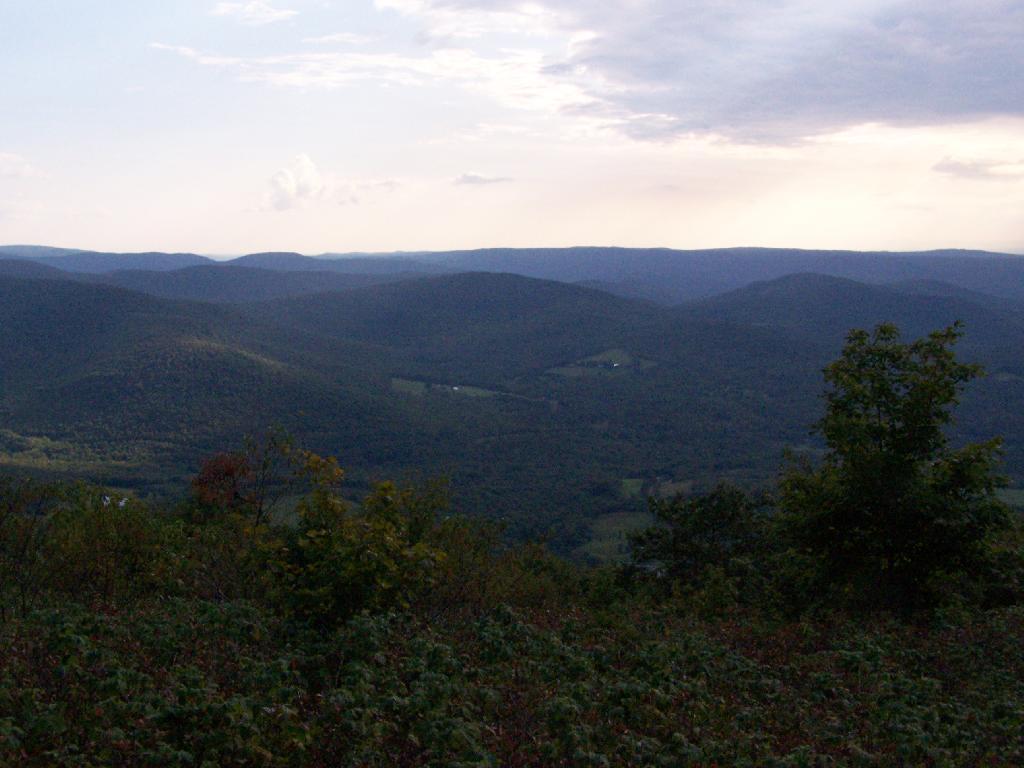
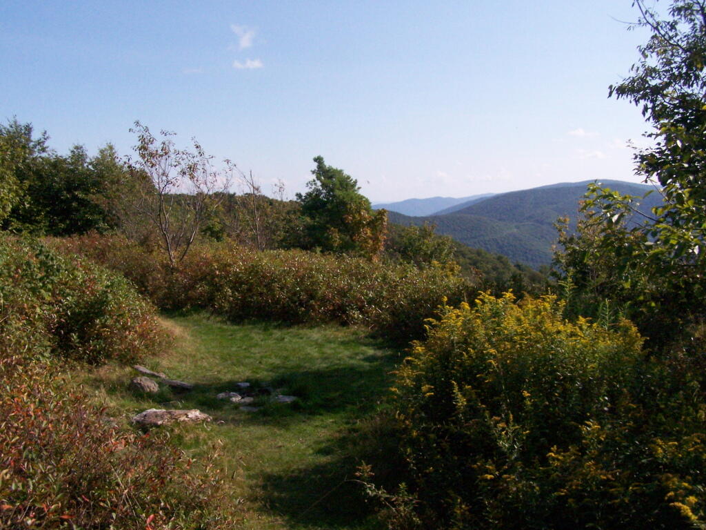
This is the second peak of Harmon Hill, which is view less. I hiked to Harmon Hill and the viewless points further south on the Long Trail.
Alander Mountain is the highest point in Columbia County. I chose to access the mountain from Mt Washington State Reservation Park Headquarters in Massachussets. You can also visit there from New York State in several other directions, although the elevation increase is substantial.
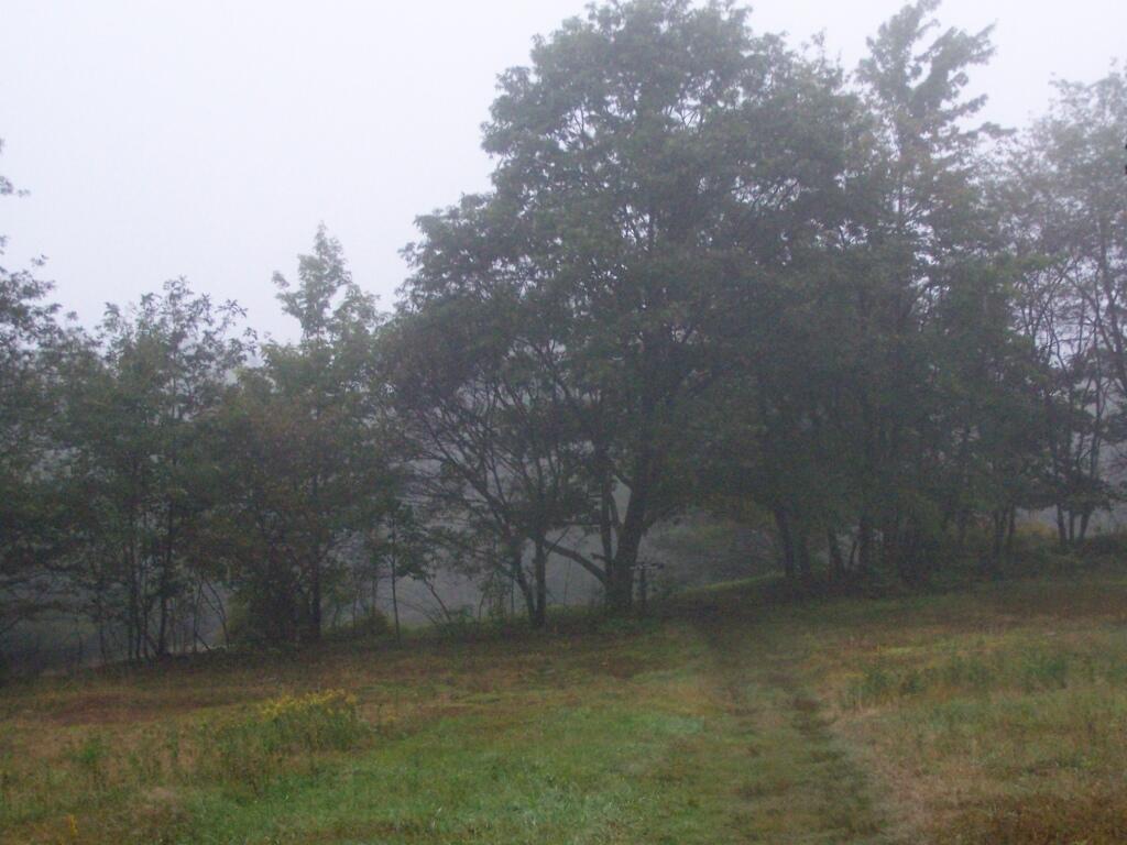
While it was clearing when I left Albany around 7 AM, when I got out to Mt Washington State Forest, it was a misty-rain mix. I left my raincoat home, but fortunately it was more damp then heavy rain.
They do not allow casual primitive camping in the Mt Washington State Forest. That said, 1 1/2 miles up the trail there is two or three sites for primitive camping. Nobody was up there on the rainy days.
Primative Campsite No 1. Somebody left some cords up along with basic cooking things and water bottle, along with a nicely built up fire pit.
The trail got steeper as I continue up the mountain, and at the same time got clearer and nicer out.
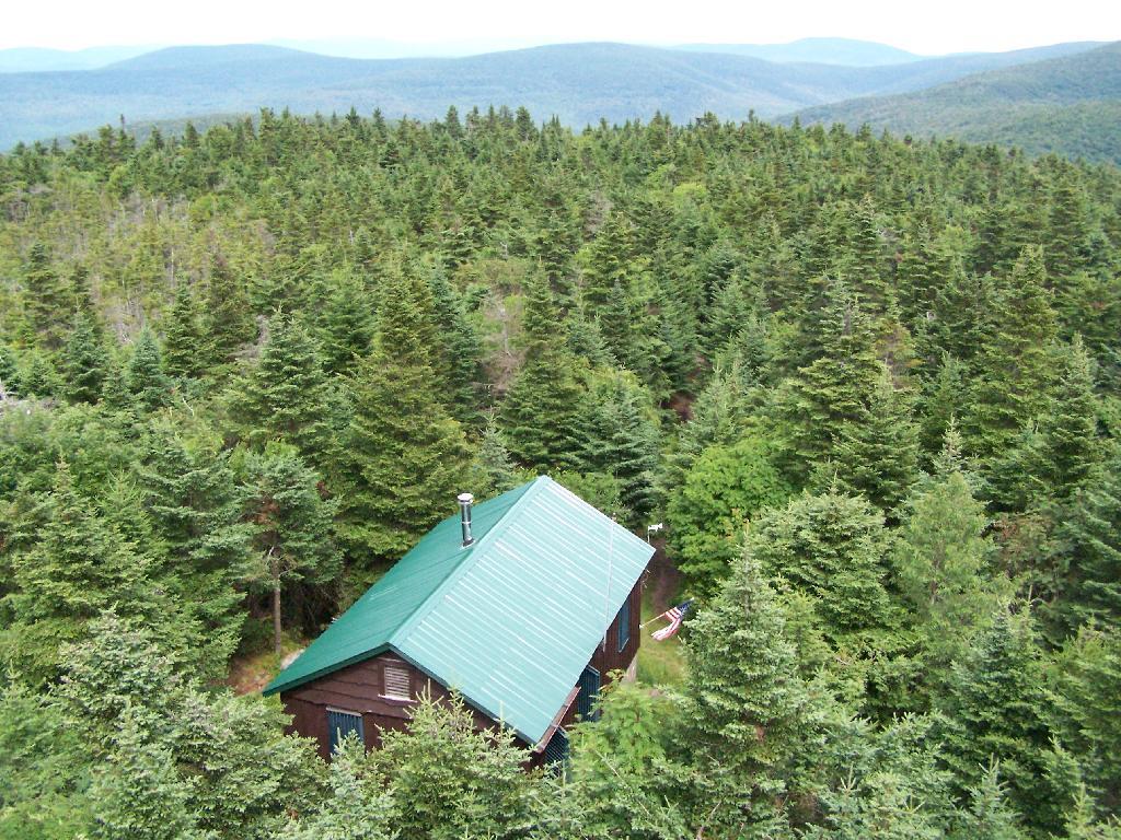
When you arrive almost to the top of the mountain, there is a beautiful little cabin you can stay in for no charge. It appears to be fairly popular, but with 6 bunks and floor camping space. There was a fair bit of unburnable trash around — particularly liqour bottles, even though technically alcohol is prohibited in the state forest.
Regardless, it looked like a fine place to camp. There is a wood stove in the cabin so you can stay here in the winter. I didn’t look at the wood supply around, but it looks like that shouldn’t be a problem.
While there was no official camping allowed on the mountain, people where certainly camping up there, and there were places where one could get well off the trail, yet camp in an open area with minimum damage to the land.
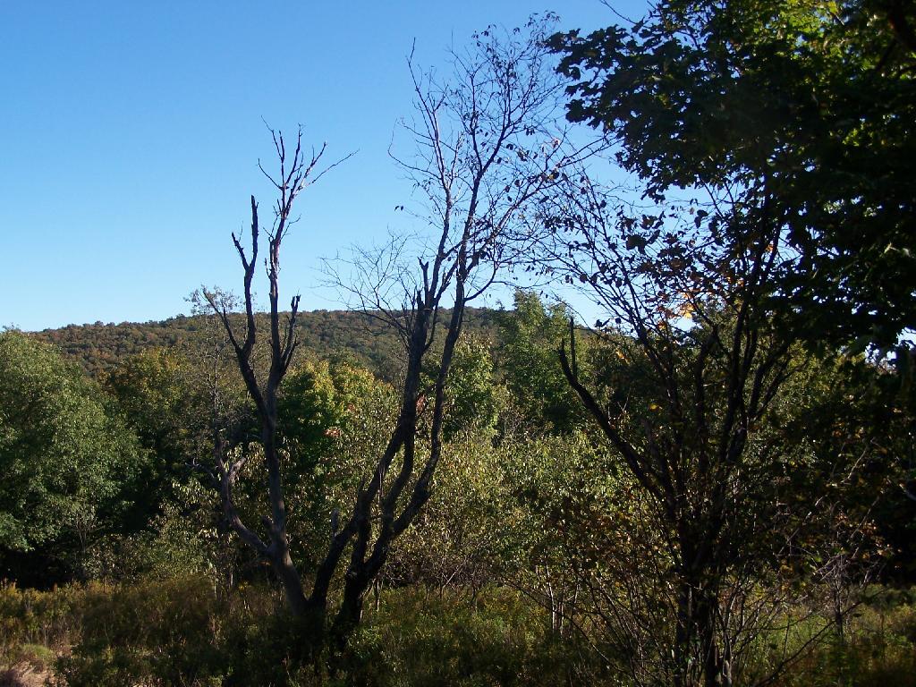
Once atop the mountain, it was still foggy and damp, but it was clearing out.
As the morning progressed, the sky got progressively clearer.
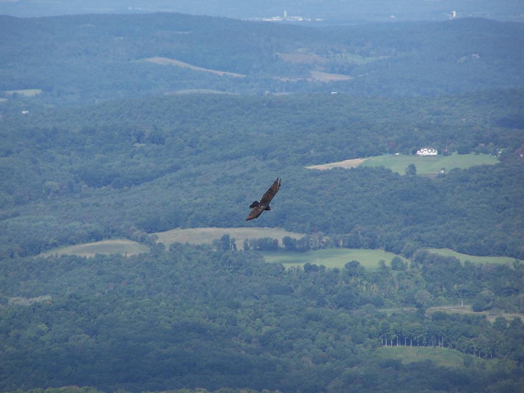
There was a Turkey Vulture flying over the landscape.
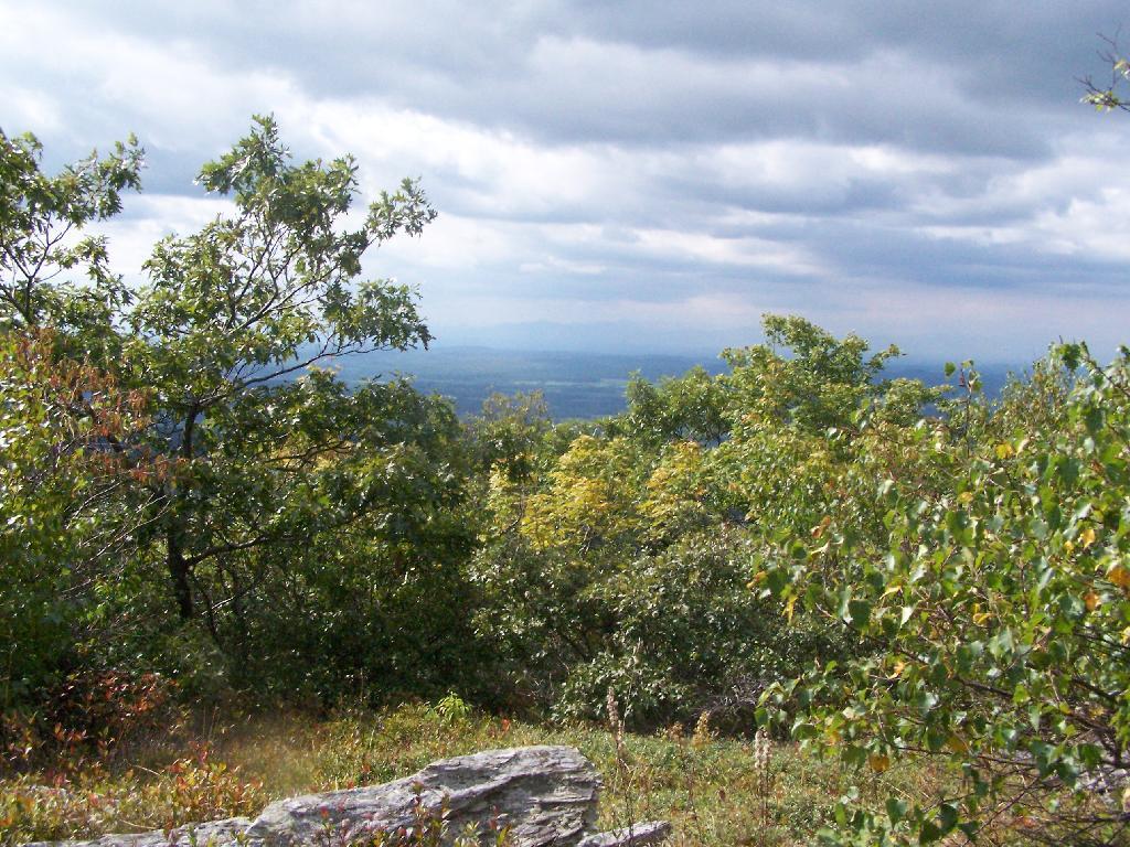
When it cleared out the views where beautiful, but with still quite a bit of haze remaining from the morning. I want to be up here one day in the fall when it is much clearer out. Maybe spend the night at the cabin, and enjoy the sunset and the leaves under the morning light.
Brace Mountain and Ashley Hill as seen from Alander Mountain.
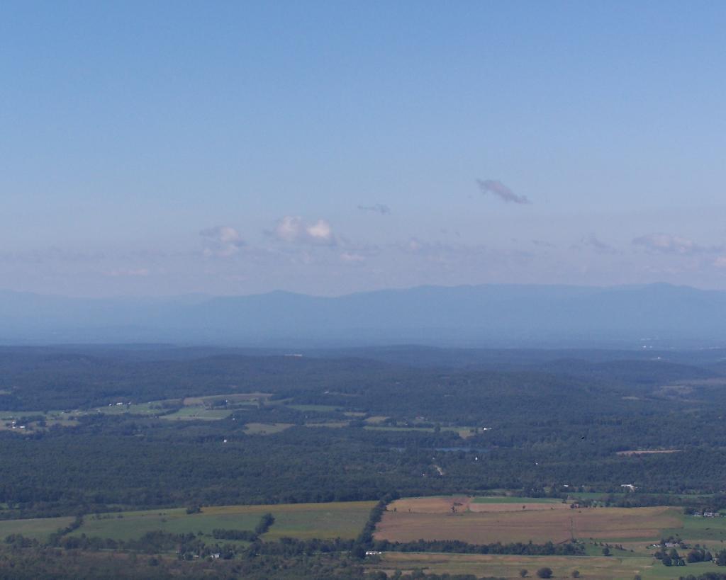
Farms and other uses throughout Copake Valley looking down towards Millerton.
Apple Orchards and Swamps. This is similar from the views from Sunset Point that I looked down from during a springtime hike.
Alander Mountain is partially in Massachusetts and partially in New York. The peak is in Massachusetts.
The lower unamed plateau I hiked along on the South Taconic trail. By 2:30 in the afternoon it started to look like rain once again.
Returning back to the truck, it still looked like rain. You can see Alander Mountain in the background, from the area near the Mt Washington forest headquarters.
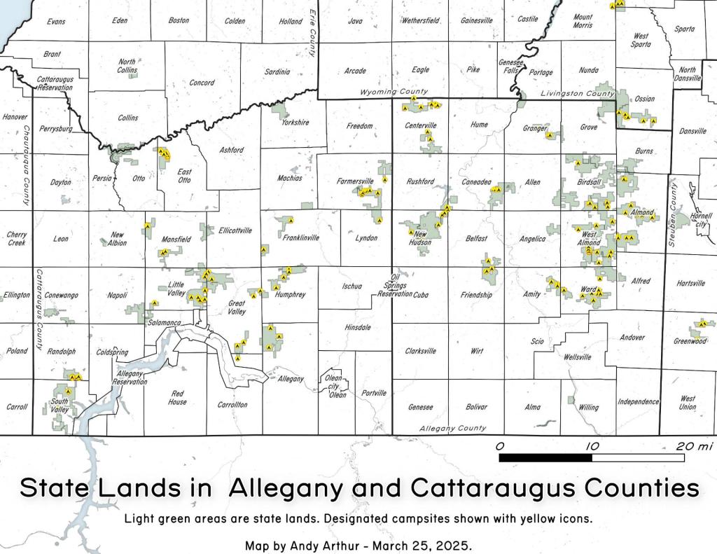
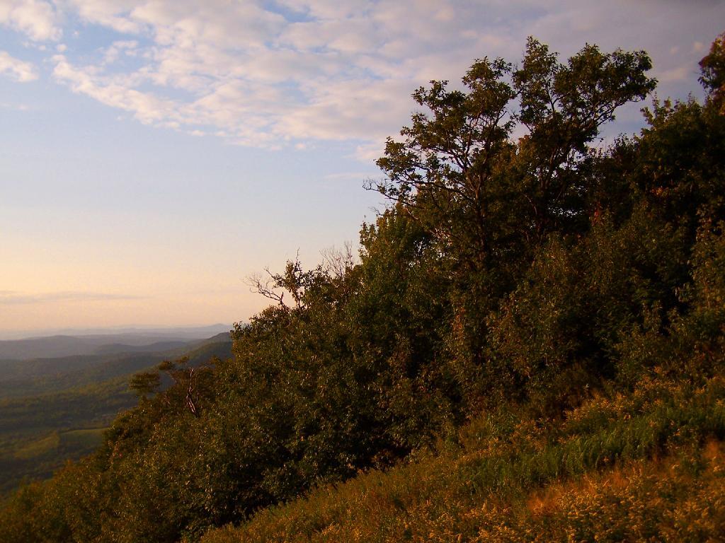
Two weekends ago, I went for a hike up Pine Cobble outside Williamstown, MA. This is the first time I’ve really been hiking in the Berkshires, formally, and not just on the New York-Massachusetts line on the Taconic Crest Trail. That said, the Taconic Crest trails runs on such a high ridge compared to the rest of the Taconics, and is closer to the height of the Berkshires, that it is probably in the Berkshires and not the Taconics, regardless of where the state line may rest.
The Pine Cobble starts off a steep road that has the Pine Cobble private development on it. It’s not a gated community, but as close as one can get to it. The parking is limited here, with a lot for seven cars, so if it’s full, as it was on this beautiful Sunday morning on labor day, you will be forced to park on the shoulder.
There is a six-inch asphalt curb you have to jump to get on the grass sholder, but if you have a truck, it shouldn’t be a problem. They didn’t give me a ticket, and lots other did it, so I guess it’s legal. They do have a sign, just past the parking lot, as you go into the development, that says NO PARKING on ROADWAY and it’s posted, but downhill from the lot, seems okay.
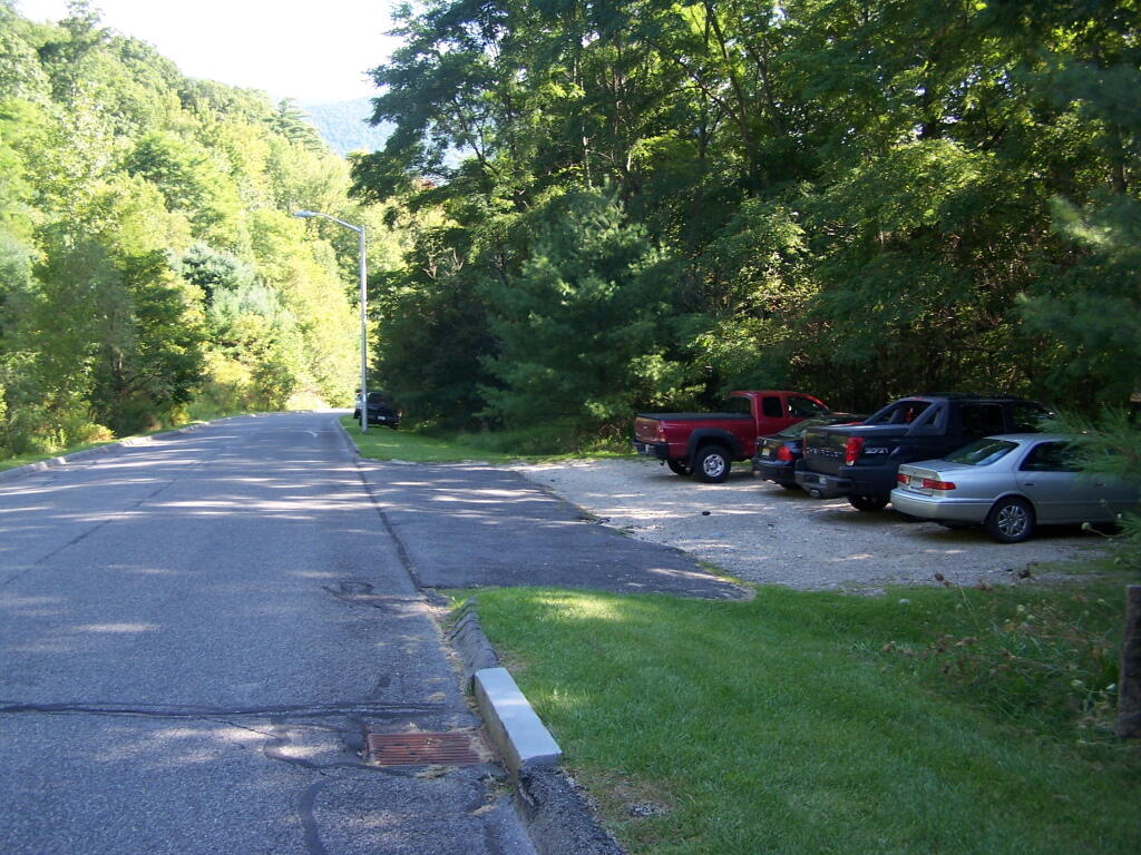
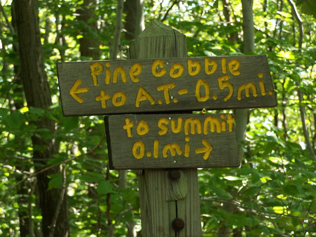
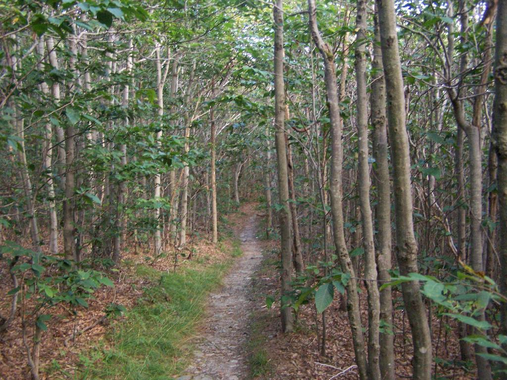
The trail head is very well signed. The entire trail is well worn, and the occassional Williamstown Trail Blazes makes it easy to follow the trail.
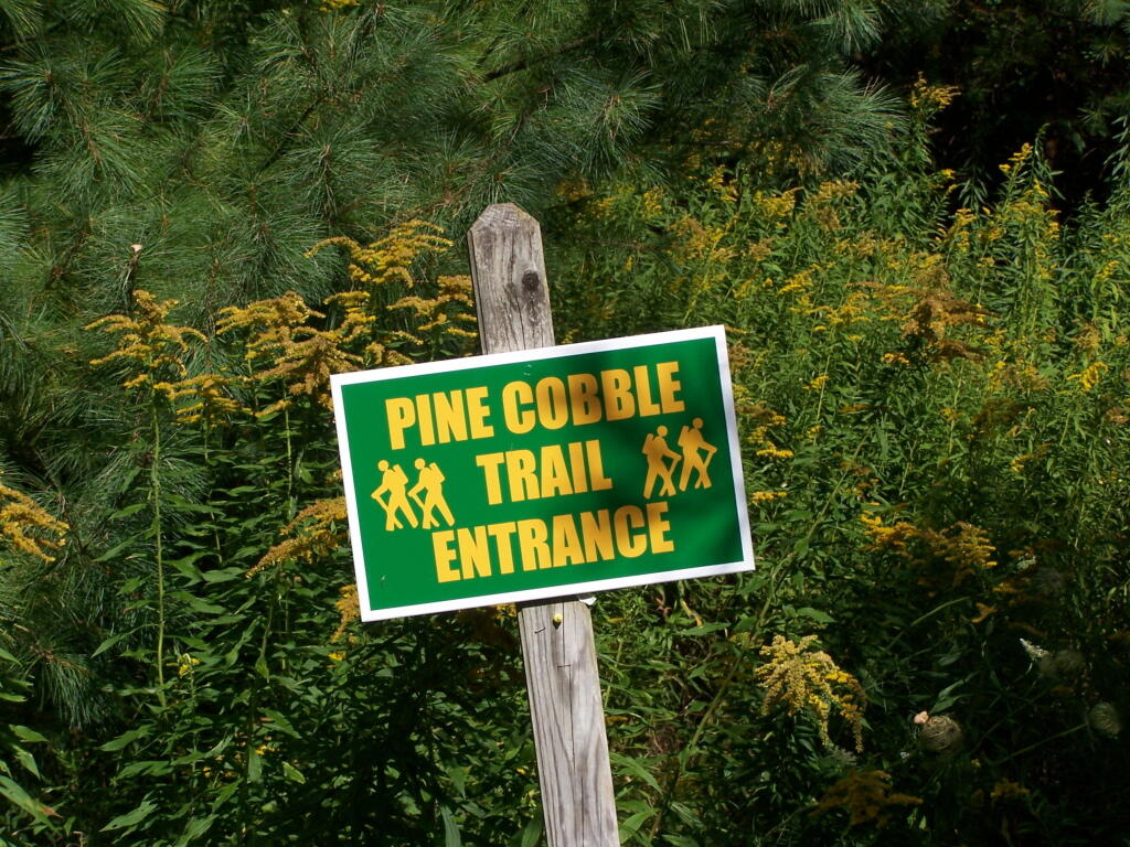
Parts of the trail are either relatively smooth or steep and rocky. It’s called Pine Cobble, so you would expect to be walking on a lot of rock cobble. It’s not nice small stuff, but big enough that you have to keep a careful eye on where you step.
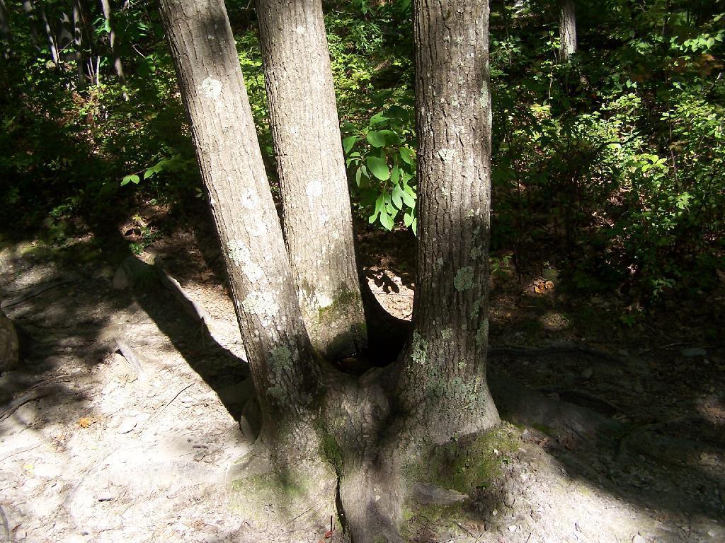
Three quarters of the way to the top there is this oak tree with three shoots up that provides a perfect little pool where water accumulates throughout the year. It’s quite neat looking. Talking to other people, this is actually quite a common occurance with a certain type of oak.
A top Pine Cobble, looking at East Mountain.
You’ve almost made it to the top of Pine Cobble. Once you’ve checked it, make sure to take the trail up East Mountain for a 1/2 mile to get some awesome westerly views.
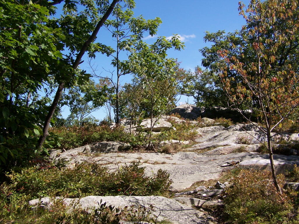
Here is the summit of Pine Cobble. It’s not the most impressive summit, and indeed the best views are along the edges of Pine Cobble, where there are several to be enjoyed.
Looking down at North Adams from Pine Cobble. The city’s high rises are surrounded by the mountains that form Hoosic Valley where the river runs north through Williamstown, Pownal, Vermont, and ultimately Rensselear County, New York into the Hudson.
Here is the Pownal Valley, where the Hoosic River heads up through the corner of Vermont and back into New York State.
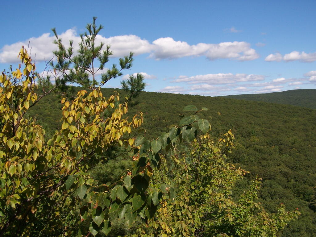
West from Pine Cobble, you can see the last range of the Taconics / first of Berkshires, where Berlin Mountain and Mount Raimer. Also in the foreground is a little bit of Williamstown.
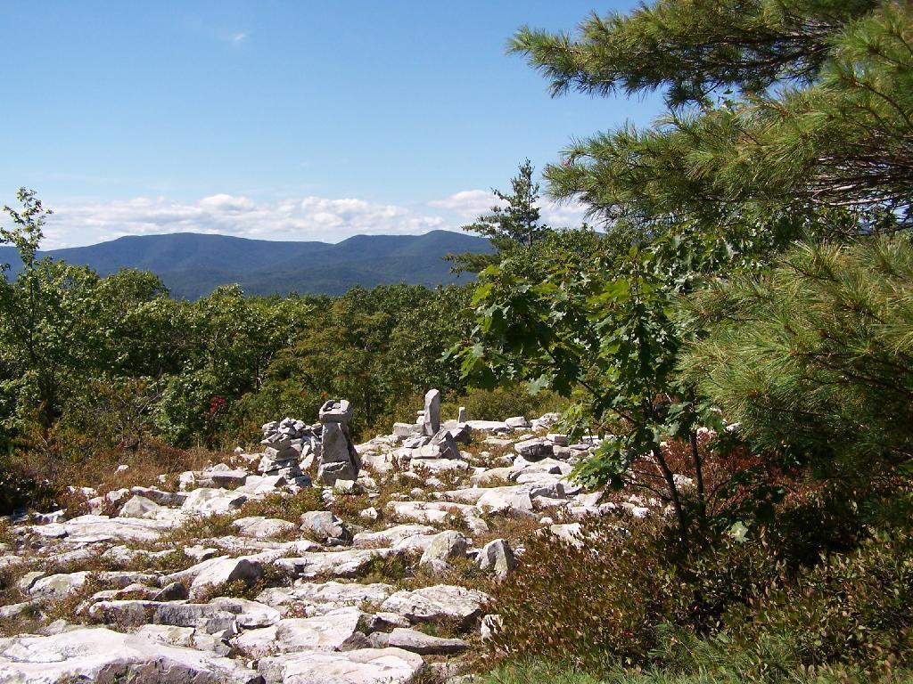
On East Mountain there are these exciting views of that same range, but with the addition of lots of bright white marble rock, cairns, and at least on this blue day, a deep blue sky.
When you reach the top of East Mountain, there is sections of the Appalachian Trail that remind me a lot of the look of Albany Pine Bush, minus the sandy soils. The Berlin Mountain range in the distance pull some kind of emotion into my heart, just like looking at the Heldebergs from the Albany Pine Bush.
The Applachian Trail sign on East Mountain.
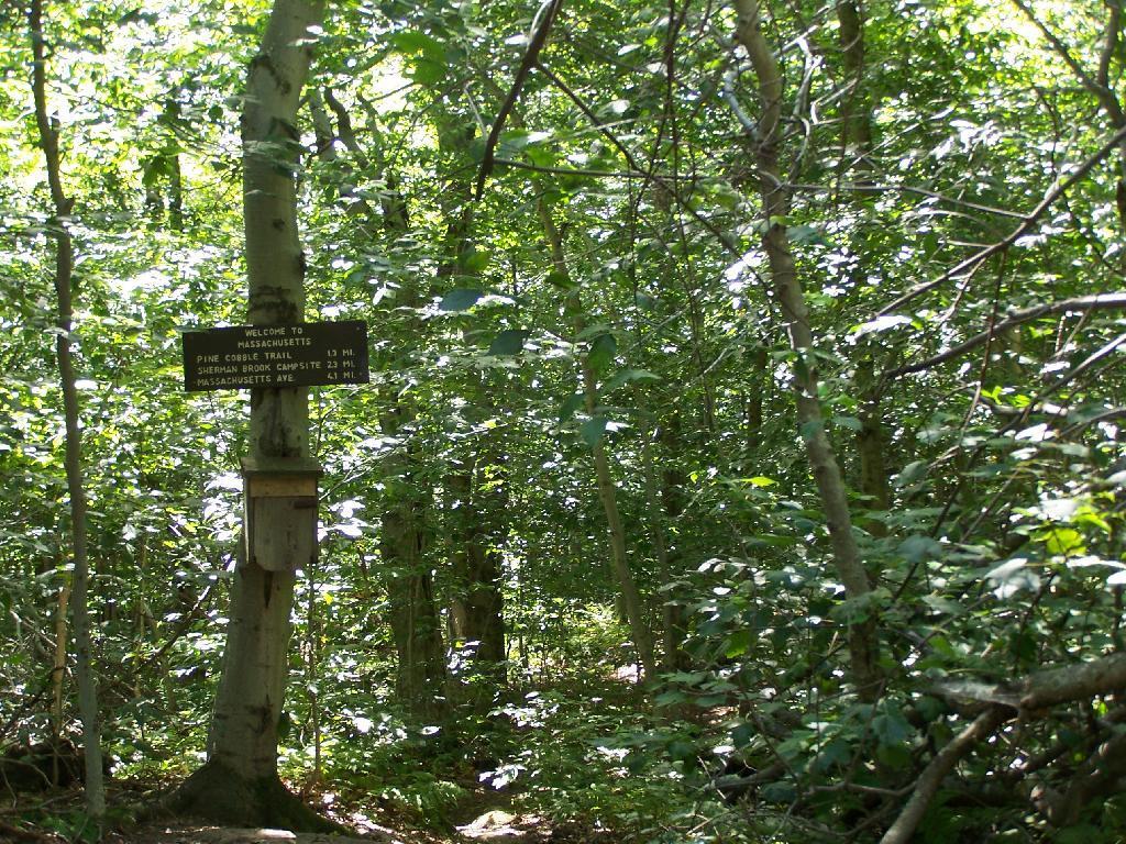
At the Massachussets and Vermont (Green Mountain National Forest & Long Trail) border.
On Saturday evening after doing some political volunteer in the morning, I decided it was simply too nice to spend the afternoon home. It also was Memorial Day weekend, so I decided I wouldn’t be able to get the best campsites at the State Forest in Summit, so I decided to go hiking.
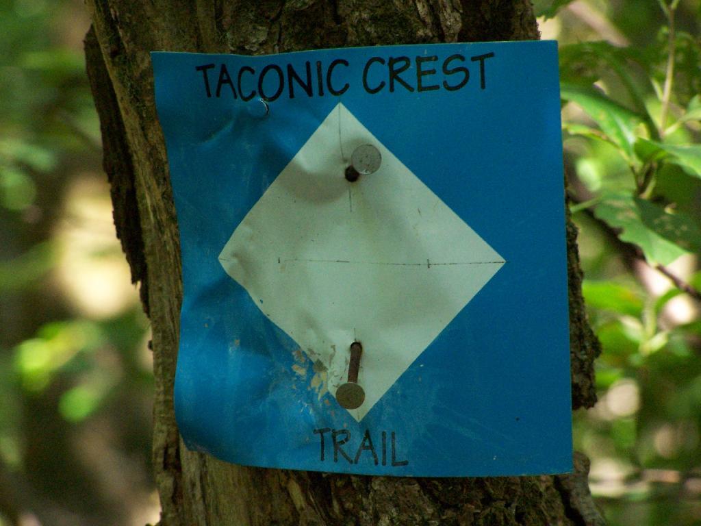
So I chose some place close: the Taconic Crest Trail, north of parking lot at Mountain Raimer on state border of NY-2 & MA-2. It’s quick drive from Albany, and a beautiful place to hike particularly in the evening.
The section on the Taconic Trail runs partially on the Hopkins Memorial Forest, a parcel owned by Williamstown College. Camping and hunting is prohibited on this portion, as it’s used for research. Other sections are owned by the DEC or run on DEC easements that allow most conventional uses.
Here is off White Rocks.
Several small hobby farms you can see from off White Rocks.
Along the trail, looking south in the mid-afternoon, with Mount Raimer and NY-2 in the background. This looks like somebody has stayed here in the past, although I’m not sure if it’s NYSDEC land, and even if it is, it’s too close to the trail to be fully-legal camping.
Here is NY-2 winding up the mountain.
Interesting walk through a thick grove of Ash Trees.
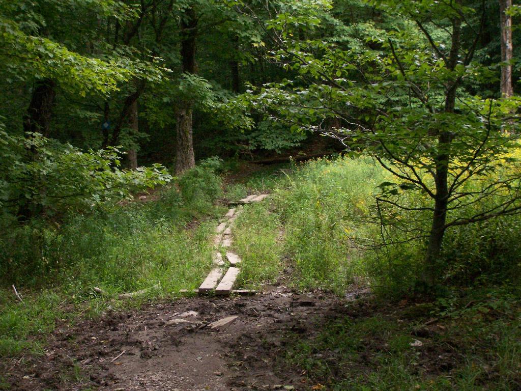
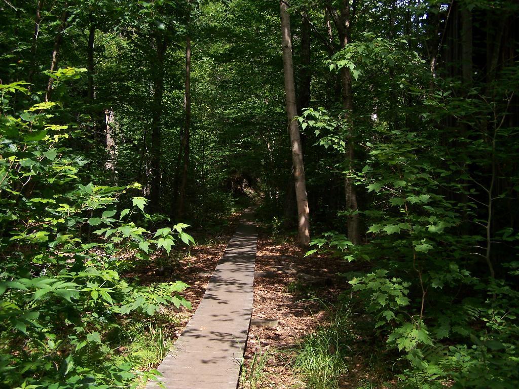
Crossing a muddy area on boards.
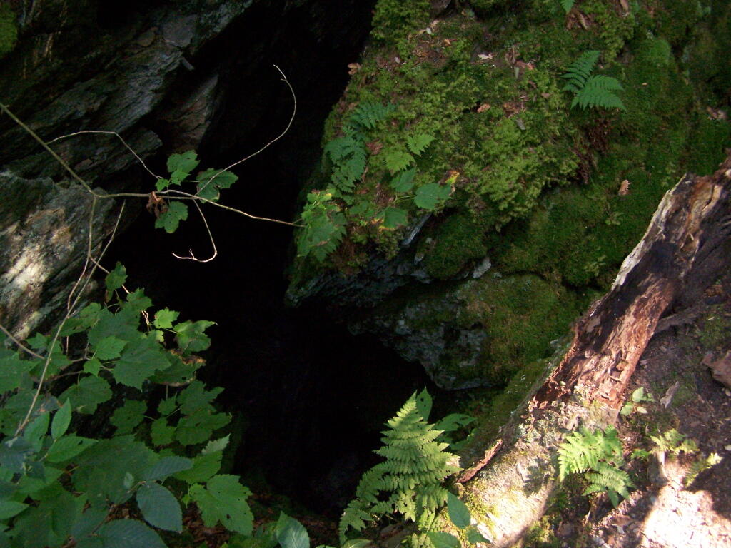
One of the unique features of the area is a place called Snow Bowl, a deep cavern in the woods, between peaks, that is known for holding snow deep into the summer. No snow is left by September, but it, according to the guide book, frequently has snow remaining by mid-summer.
Beyond Snow Bowl I hiked about another mile. Not much in views over hear, but still a nice hike with only limited climbing up and down. I think I crossed into Vermont, but I did not see any signs of markers saying Green Mountain National Forest.
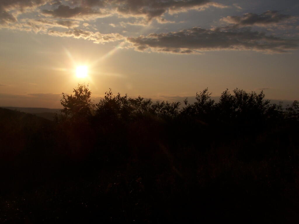
Hiking back the sun was starting to set, and there where clouds making for some impressive vistas.
Back at White Rocks there was some pretty views as the sun was setting.
For a while the sunset took away my breath.
As the day came to an end.
When I got my truck, this was the view of Mount Prospect from the parking area.
I’m not sure if I have ever gotten lost before in the woods. There has been times when I’ve taken a trail to a surprise result. I don’t always have a perfect map in my head of every area I’ve been to, and sometimes when visiting a new area, I will loop back upon on a trail and be quite surpised at that fact.
Sometimes I will run into something unexpected in the woods that makes it impossible to reach my destination the way I originally expected. The cliff might drop off steeply, their might be a pond in the ways, the trail might be really muddy and mucky, or their might be a hunter up ahead. I usually find my way back to the trail without a problem.
There have been times when I’ve had difficulty locating one point or another. I almost always find it, after a little searching, if it’s nearby. Sometimes I will give up and go back, especially if my map’s quality is poor or if it’s not readily apparent where it should be.
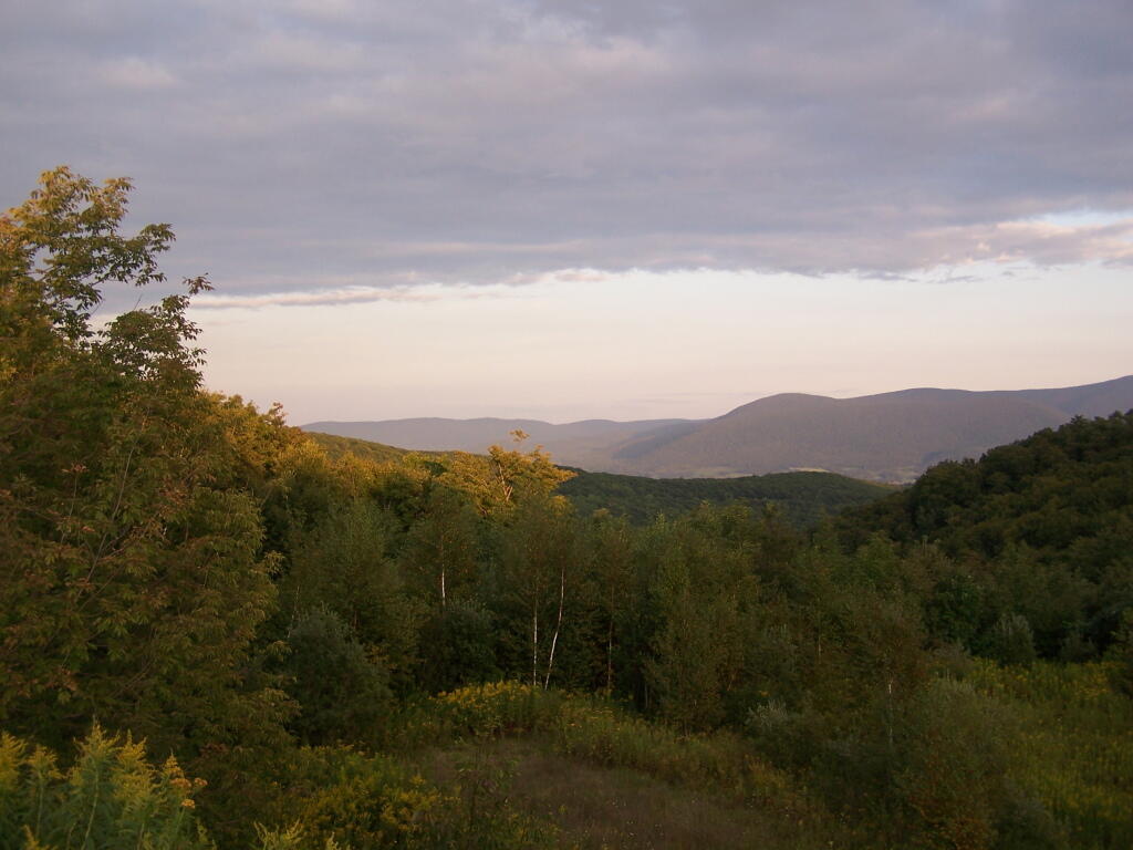
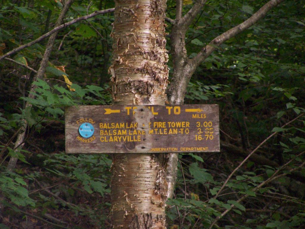
Last weekend, after hiking up to Slide Mountain, I decided to drive another 30 minutes west to Balsam Lake Mountain. This was the final fire tower in the five remaining trails in the Catskills.
Across from the Dry Brook Parking Area is the blue trail heading south to the Balsam Lake Fire Tower. It is not well marked, but there is one sign that points across the lot, then this well worn sign at the start of the old woods road that leads to the fire tower.
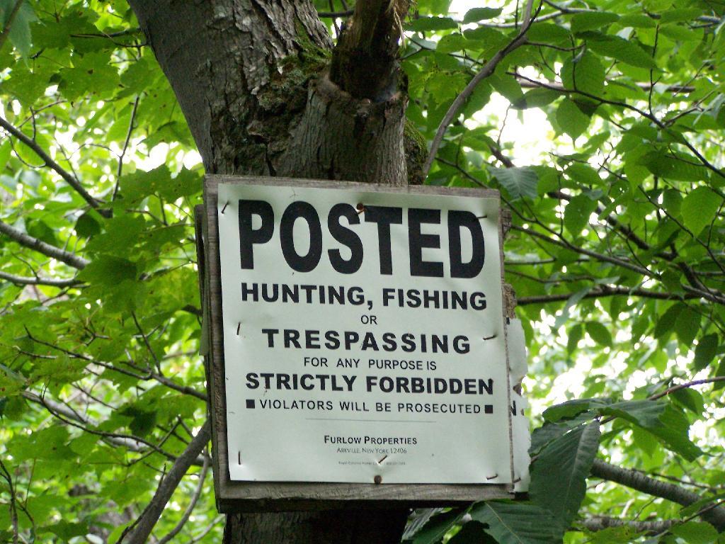
The first 2.25 miles of the trail runs entirely through private lands, and is heavily posted. There is also very few blue markers, so don’t be surpised until you reach the kisok that you feel you are on the wrong trail.
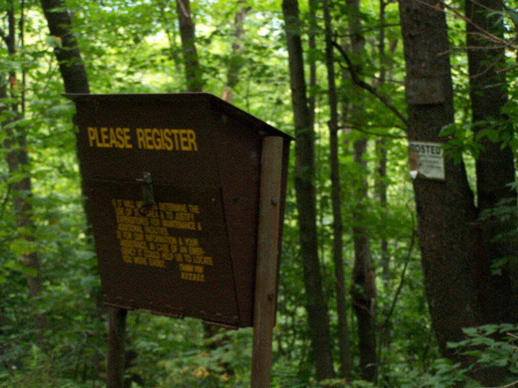
Seeing this was very re-assuring, as I signed my name into the book, and knew I was on the real trail. The kiosk is set about 1/4 mile back from the road. But if you’ve seen the first sign, your okay, as you’ll eventually reach the kiosk.
Here is a picture of the old woods road. When the tower was open, the Ranger could drive all the way up there. Today, you can technically drive in until you get to the start of the state land, although it would be rough without a pickup. This trail is not particularly steep.
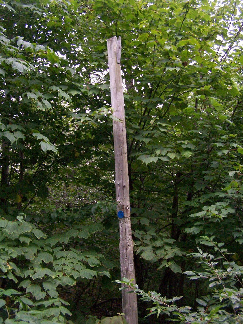
Along the trail is several old telephone polls, used to carry telegraph and/or telphone lines up to the way up it.
At 2.25 miles you reach the intersection of the blue and red trails, the red one that takes you to the tower. It might be only 3/4 miles to the tower, but you still have to go an additional 600 feet in elevation, on a trail with several moderately steep uphill.
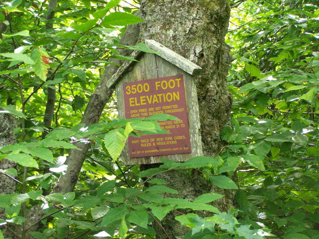
At 2.5 miles you reach the Balsam Lake State Forest, and about a minute later, you reach the 3,500 elevation mark.
You climb and you climb, and the trail opens up. You think your at the top when you here, but your not. Think about hiking for another 15 minutes.
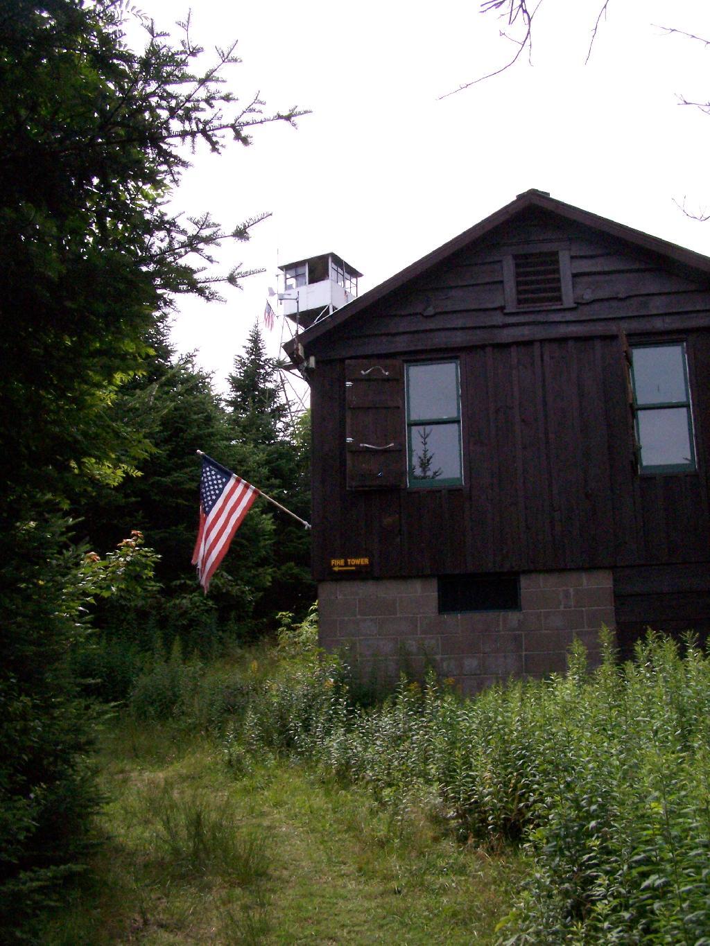
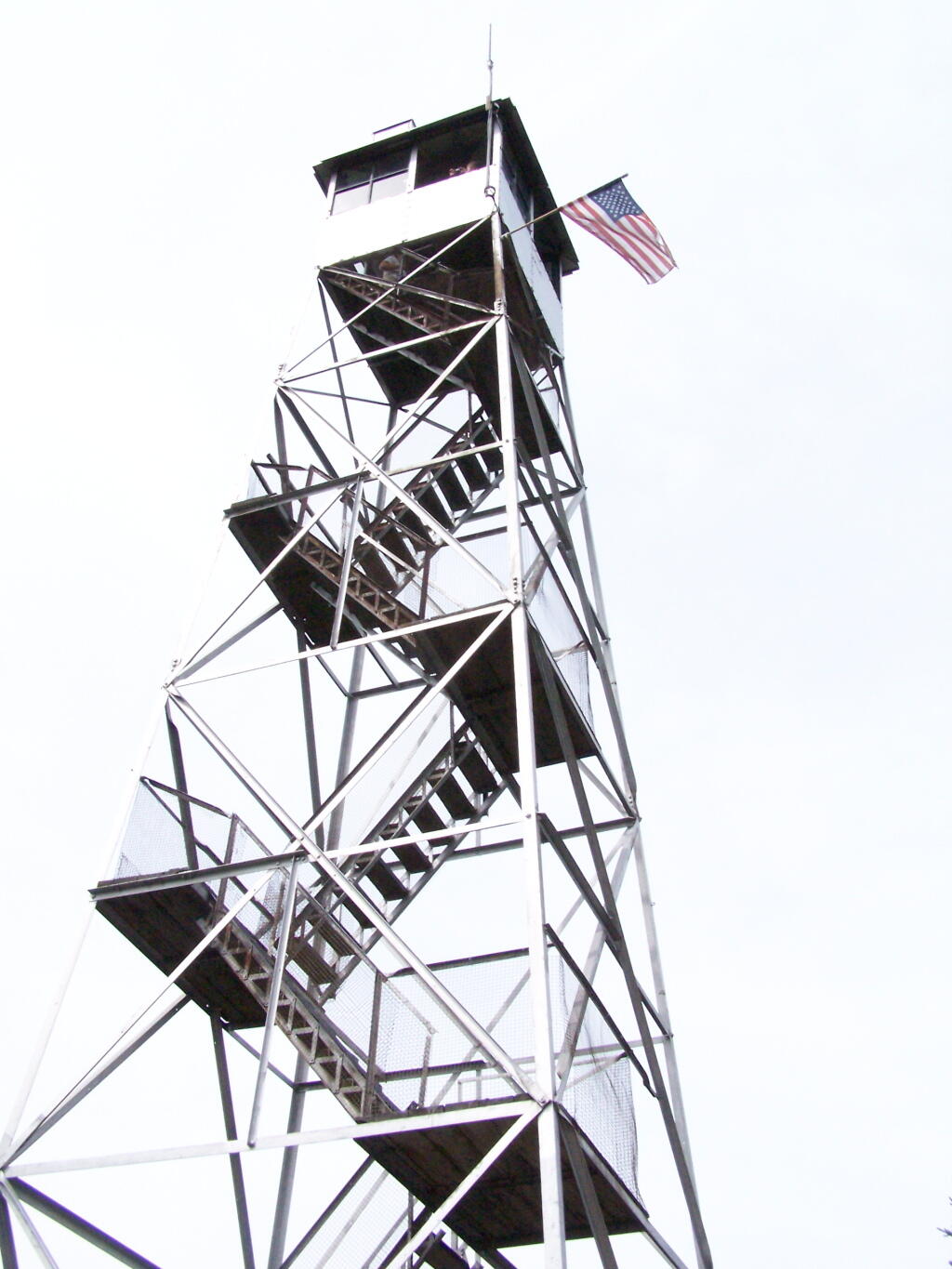
Finally, you see the Ranger’s station and the tower. This makes you happy, especially if you climbed Slide Mountain before this.
The fire tower is staffed on summer weekends, and the cab is open for inspection. At the Ranger’s cabin, there is historic posters from back in the day when the tower was staffed.
Here’s the tower against the very grey sky.
There are some views from the tower, but not super interesting or exciting. Maybe if it was clearer, with deep blue skies it would be a lot purtier.
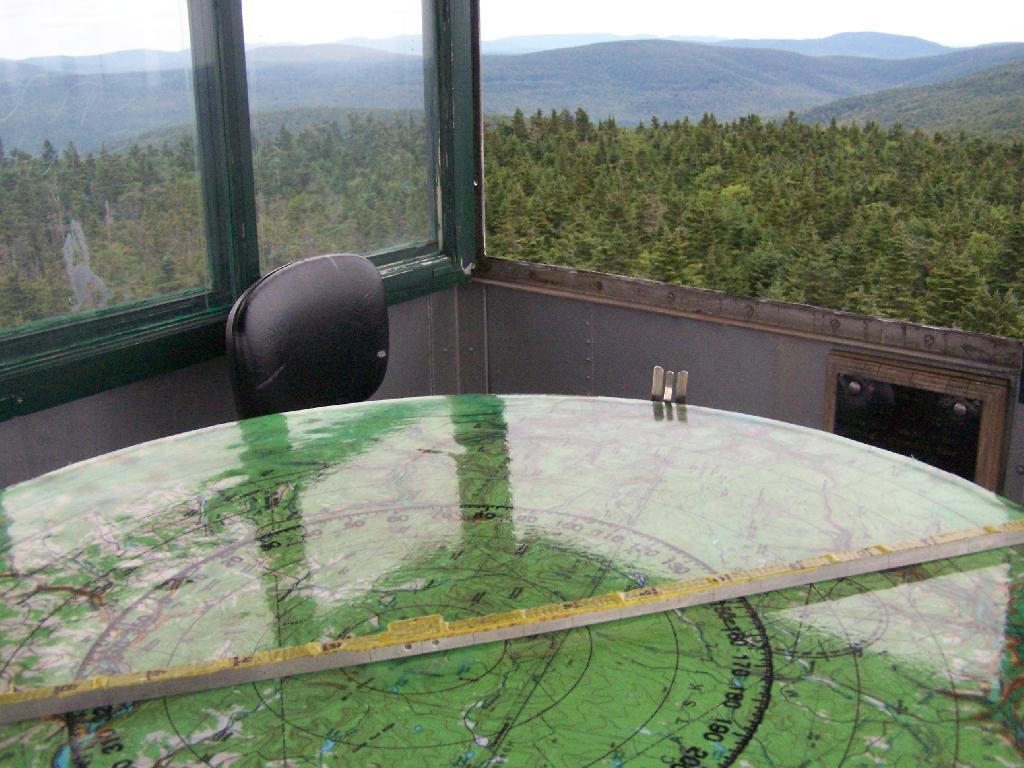
Here is the inside of the cab of the tower. There is a fixed map to help the ranger in the past observe where a forest fire was, and then call down to the firefighters.
Here’s the Ranger’s Cabin from up top in the tower.
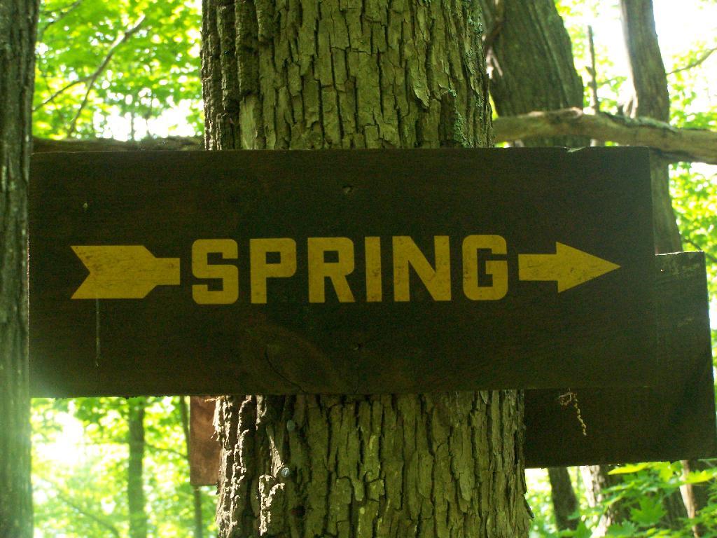
About 200 feet lower, and a 1/4 mile to the south, there is a spring. Also nearby is a lean-to, that is popular on the weekends.
![Untitled [Expires March 21 2025]](https://andyarthur.org//data/photo_002839_large.jpg)