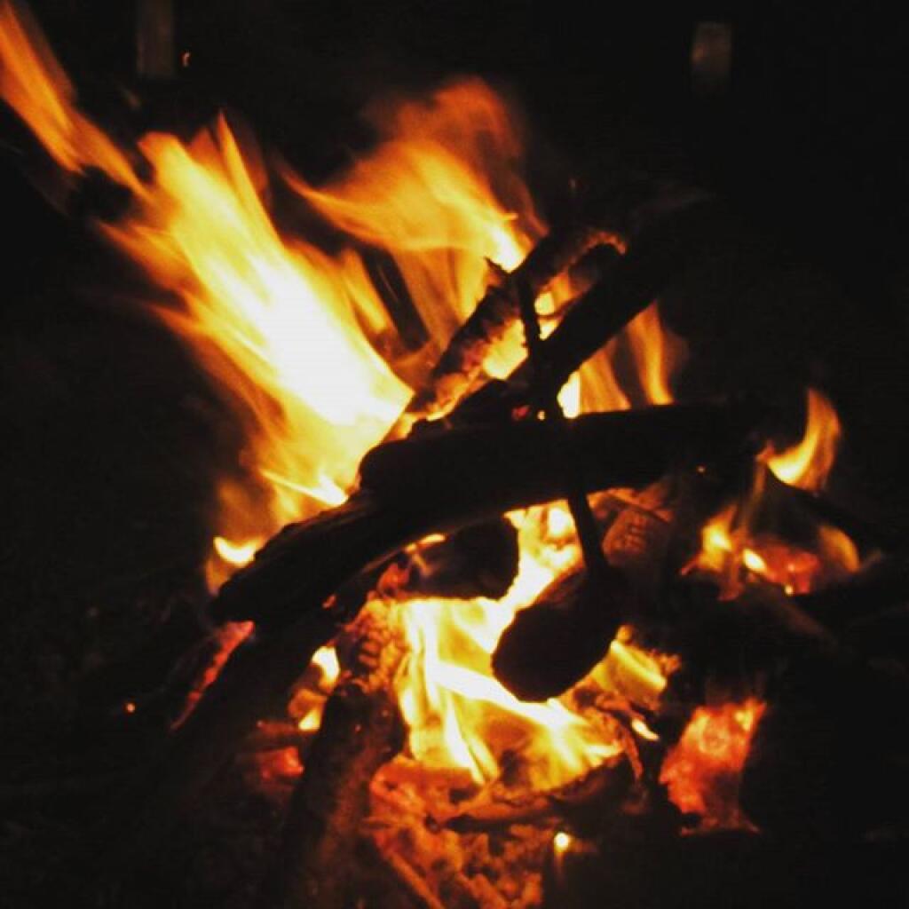
This past year I have spent a great deal of time hiking up mountains and visiting fire towers. Here are pictures of the first five fire towers I visited this year, along with a short description and maps.
The first fire tower I climbed this year was Overlook Mountain Fire Tower outside of Woodstock. This tower is nearby the remains of the Overlook Mountain House and has some rather awesome views.
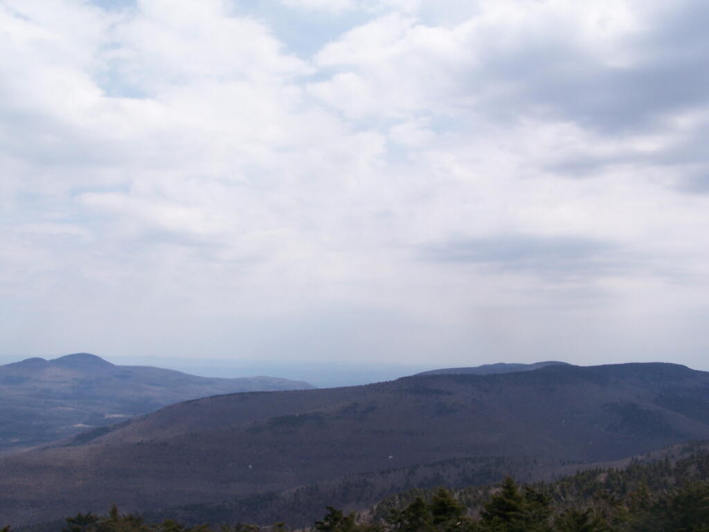
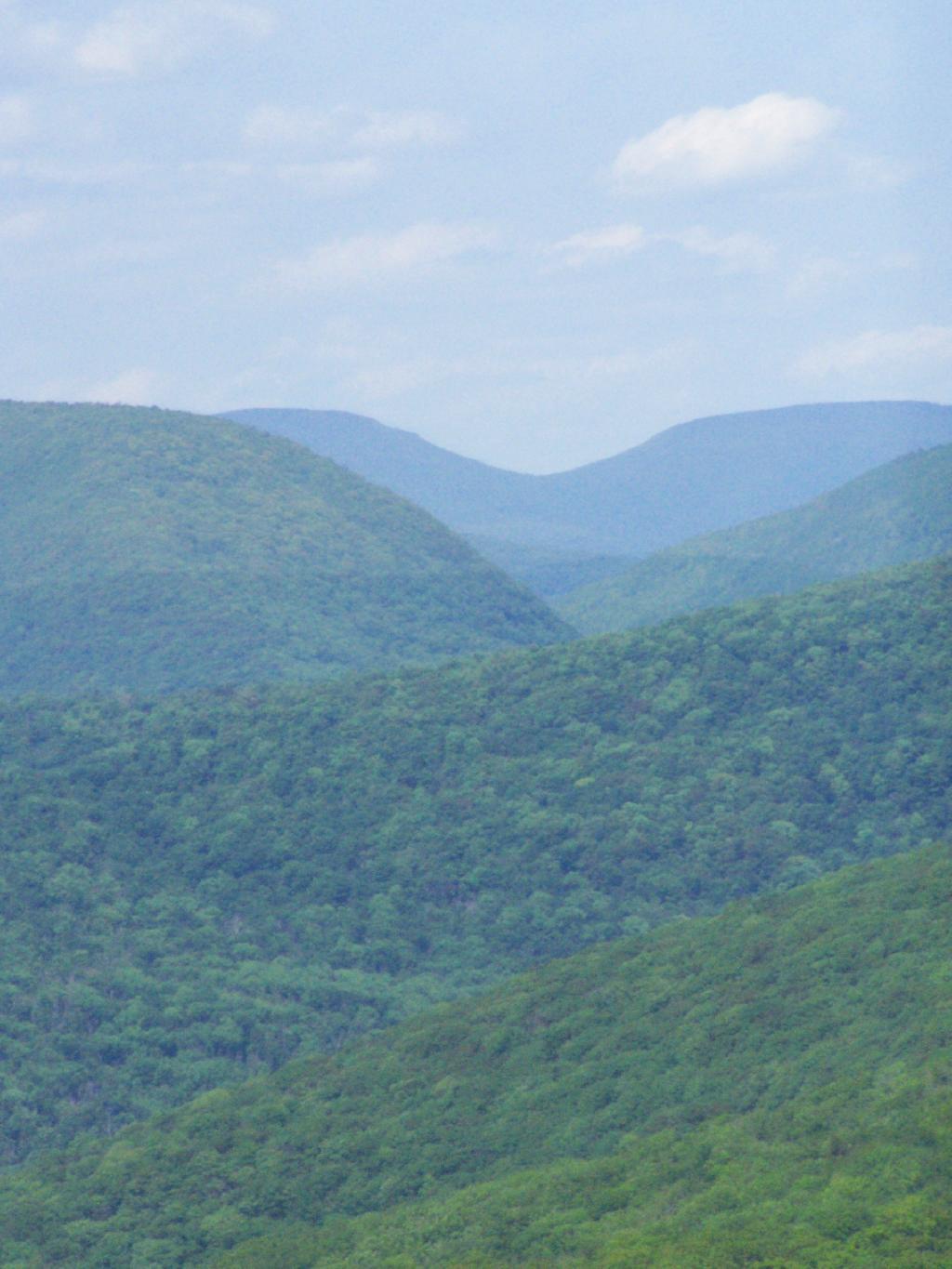
The second fire tower I climbed this year was Hunter Mountain Fire Tower outside of Hunter. This is the second highest mountain in the Catskills at 4040 feet. The views are less exciting compared to other mountains I’ve been up. I took the much steeper Beecker Hollow Trail, but one can take the longer horse trail in from the west side, if you don’t mind stepping in horse manure.
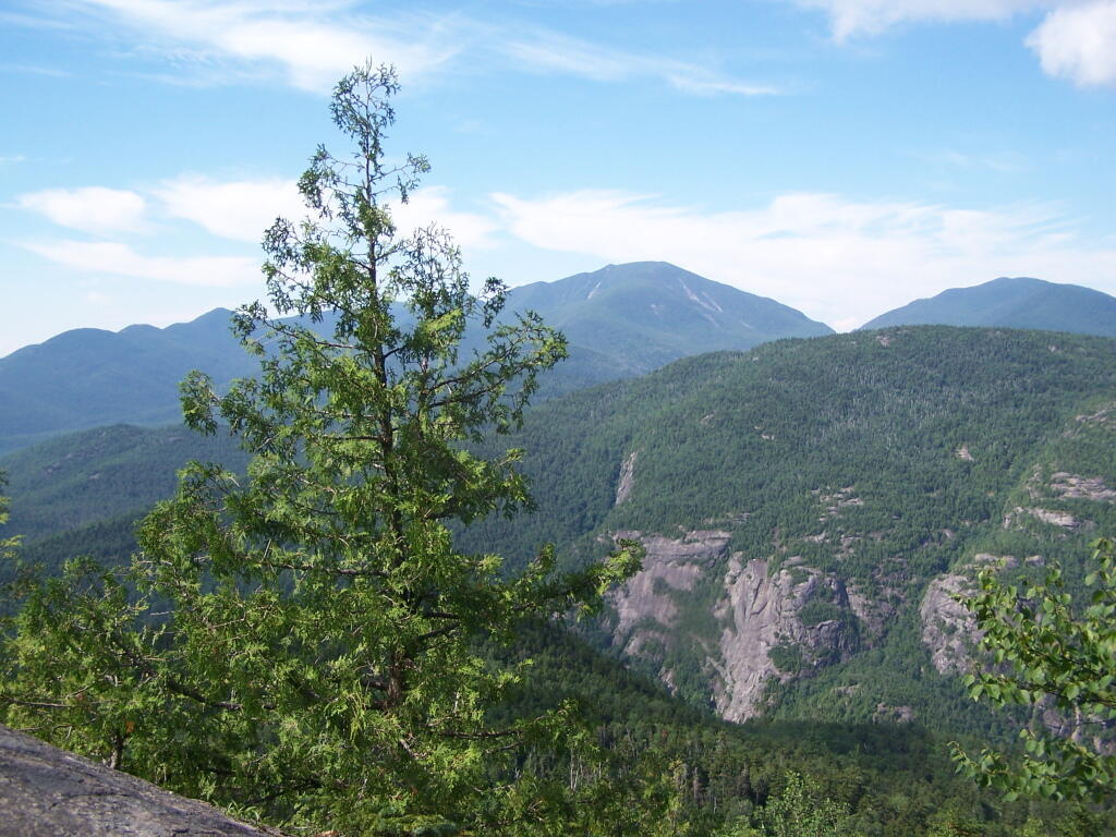
The third fire tower I climbed was Hadley Mountain Fire Tower in the Adirondacks near Hadley and NY 9N. This has some amazing views of the Great Sacanadaga Lake along with the Southern Adirondacks.
April 19, 2009 & August 2, 2009:
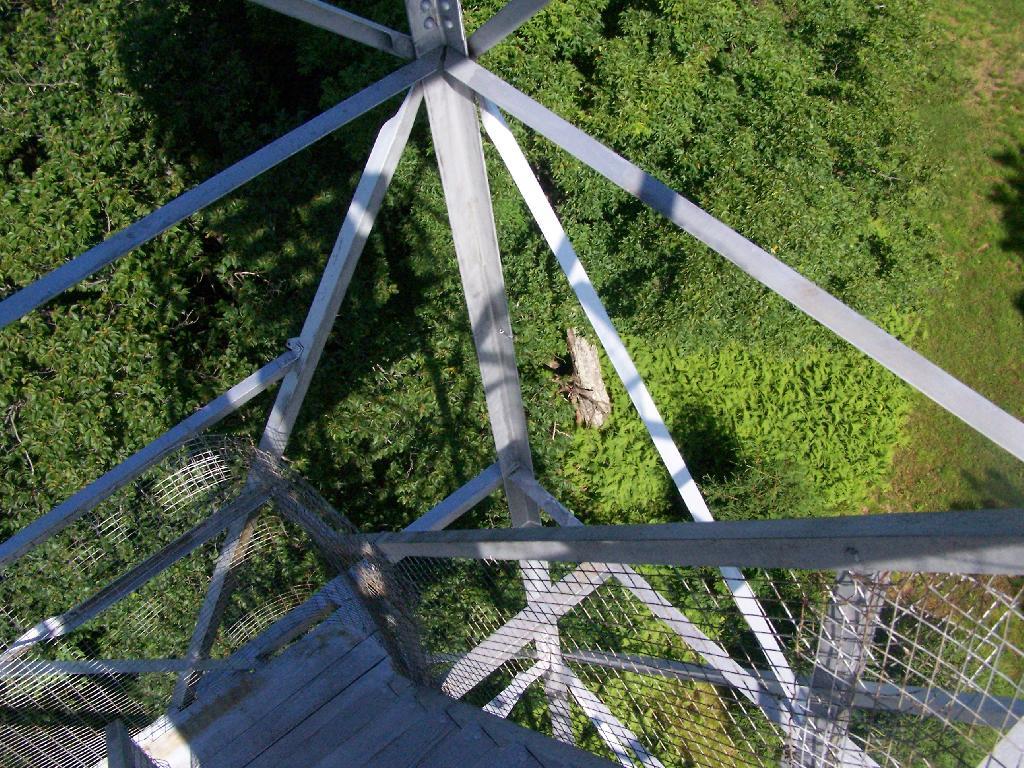
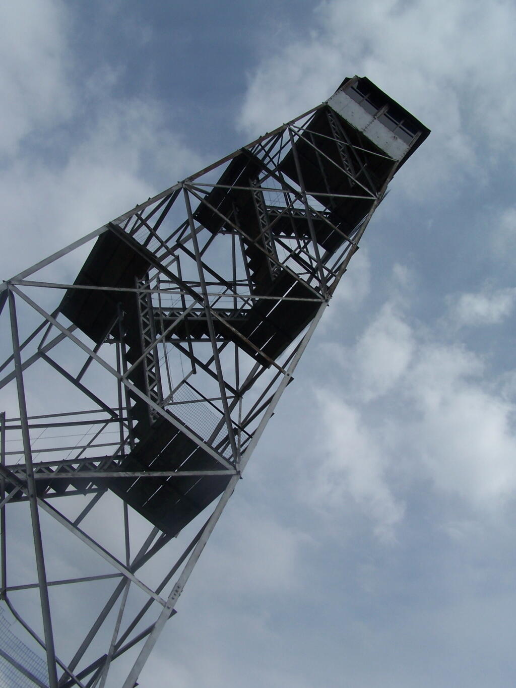
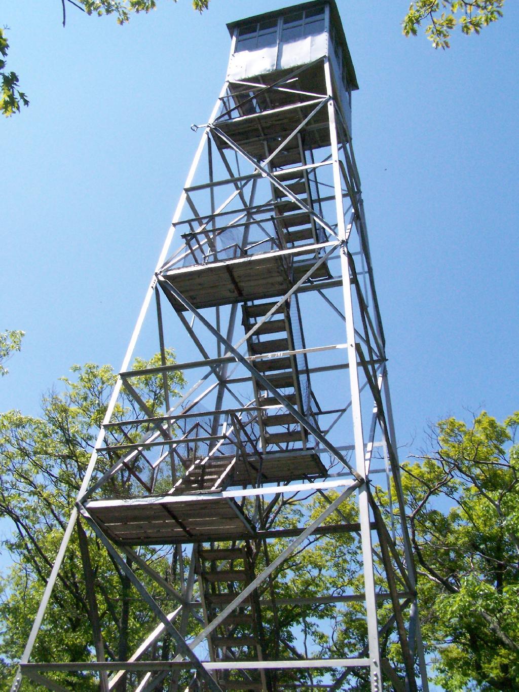
Beebe Hill Fire Tower
The fourth firetower I climbed this was Beebe Hill in the Taconics near Exit B3 of the NYS Thruway Berkshire Spur. It has great views of Northern Columbia County’s rolling country. There also is the Chance of Thunder Lean-to nearby the fire tower, so you can climb it up at night like I did one beautiful Saturday in August.
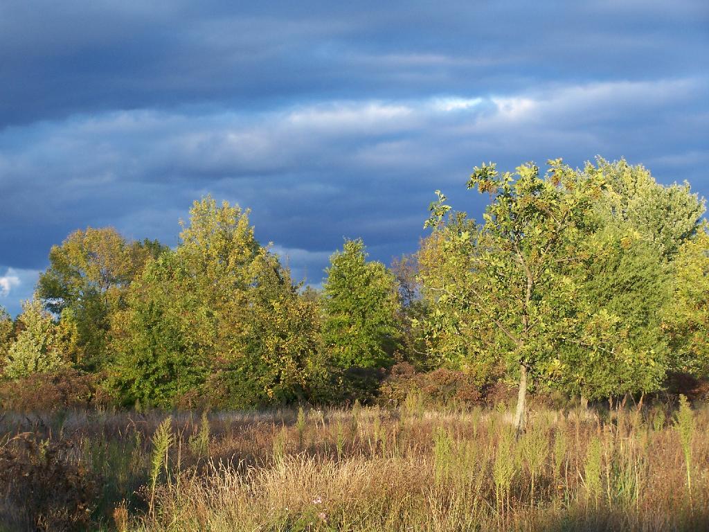
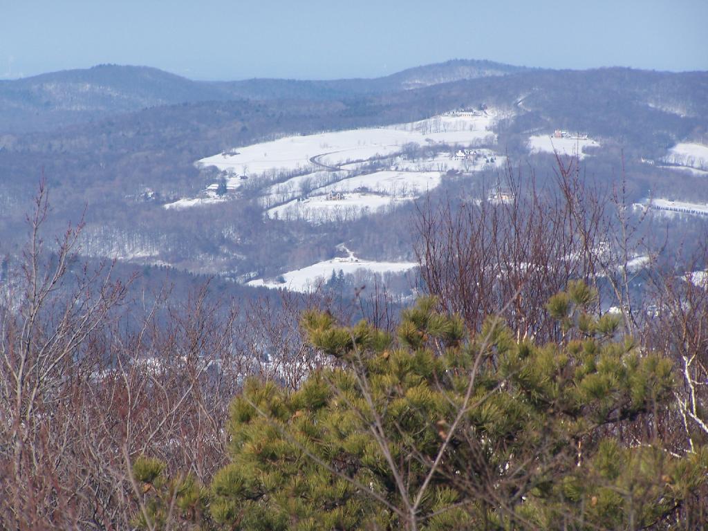
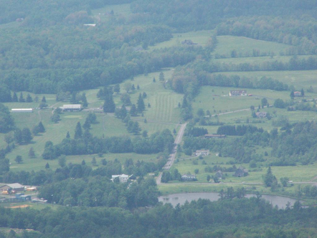
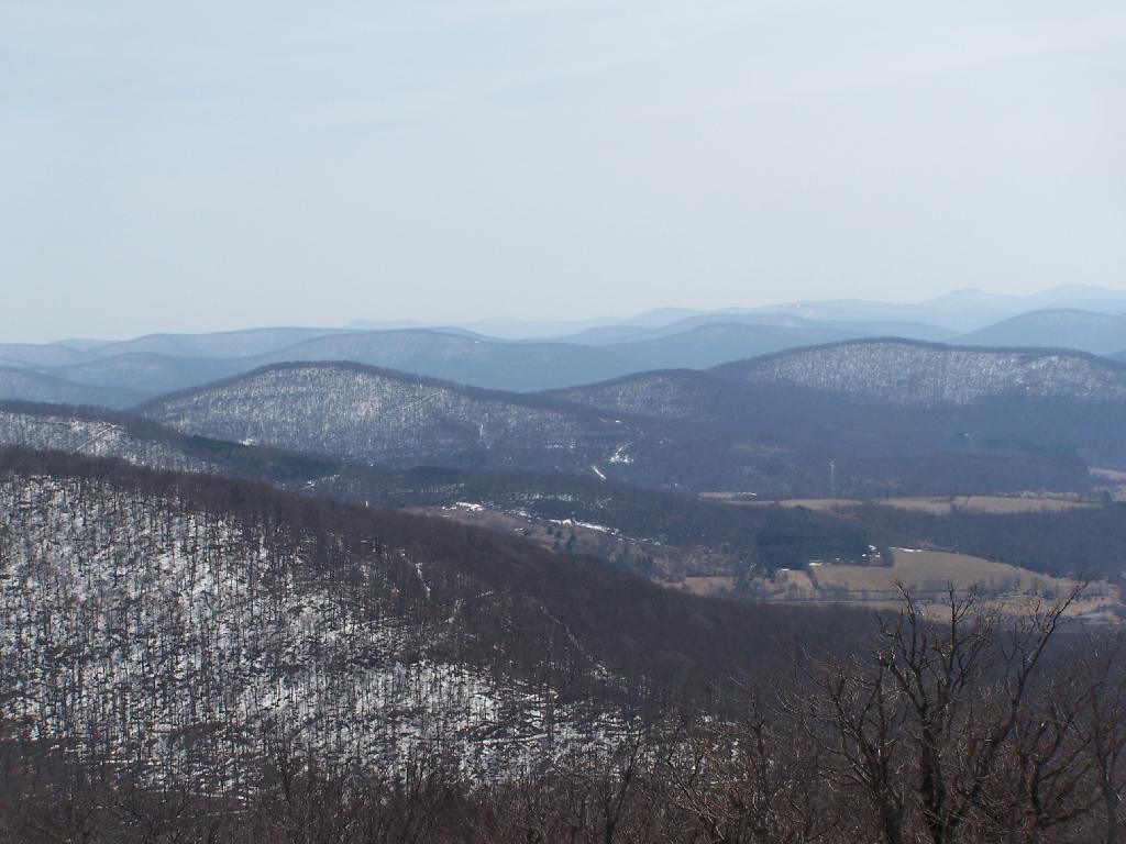
The fifth fire tower I climbed this was Mount Tremper in the Catskills. Despite having almost no views until you climb the tower, it does have some interesting views of the interior Catskill Mountains. It was a somewhat hot and hazy day when I climbed the mountain.
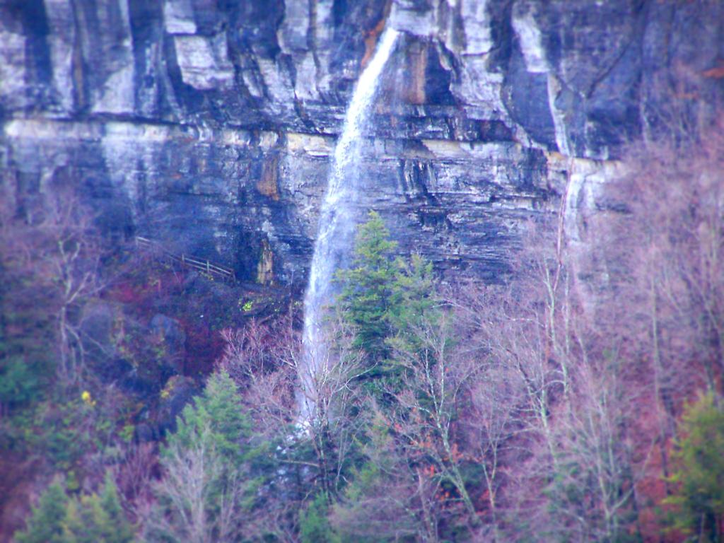
For my Sunday afternoon walk this afternoon I went up to Thatcher Park. It was 60 degrees out, and quite nice weather for late November. The previous day it had rained quite hard and water was coming out quite intensively from the Horseshoe Falls.
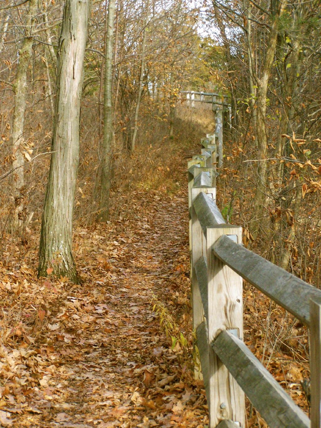
Walking along the fence line above the Escarpment on Horseshoe Clove.
Looking south and at rather gray landscape off Thatcher Park.
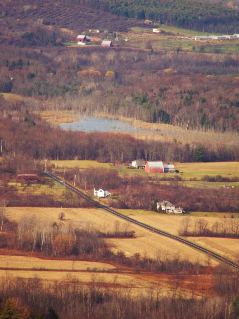
Farms outside of Altamont in the fall without the leaves.
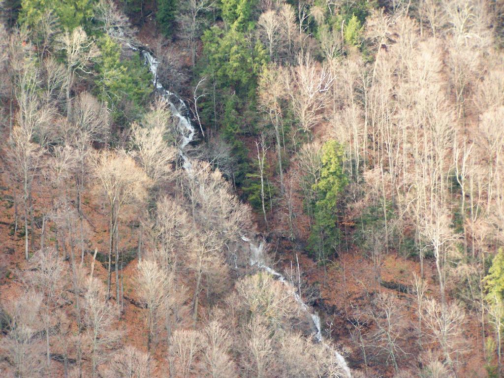
A stream of water coming north out of an upper clove.
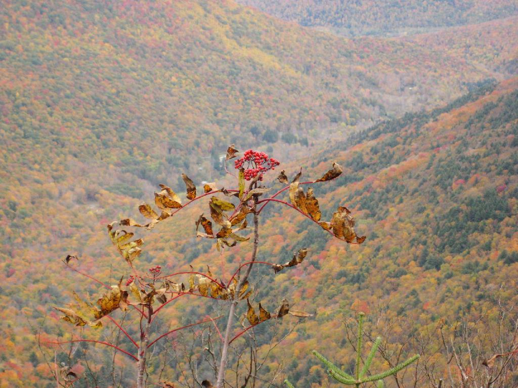
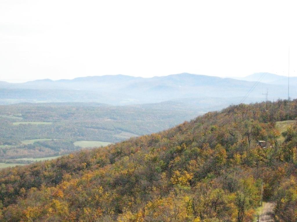
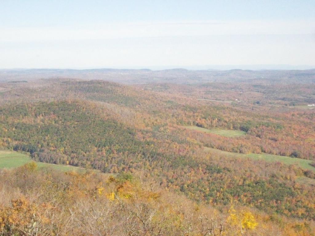
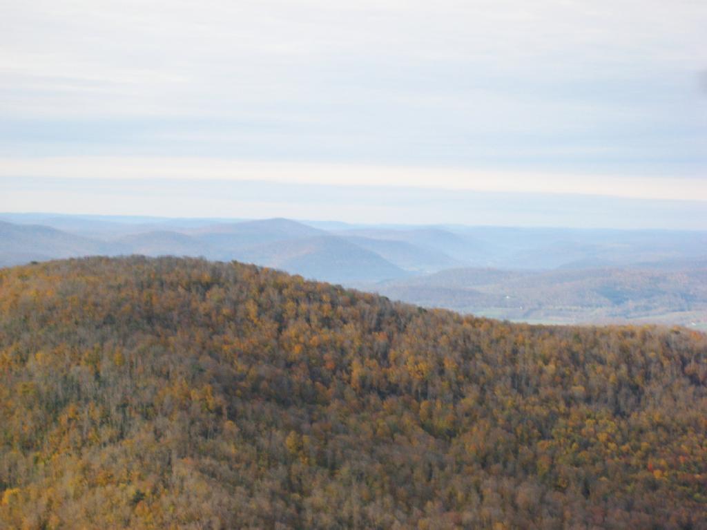
The same day I visited Giant Ledge, I also hiked up Panther Mountain. Panther Mountain is about 750 feet higher then Giant Ledge, and is one of the high peaks, at an elevation over 3,500.
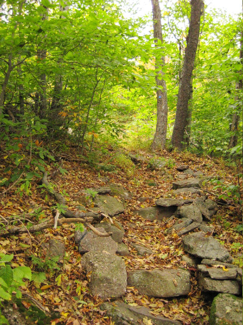
Portions of the trail are made up of rock stairs up the mountain. Other parts you climbed up rocks, but nothing too steep.
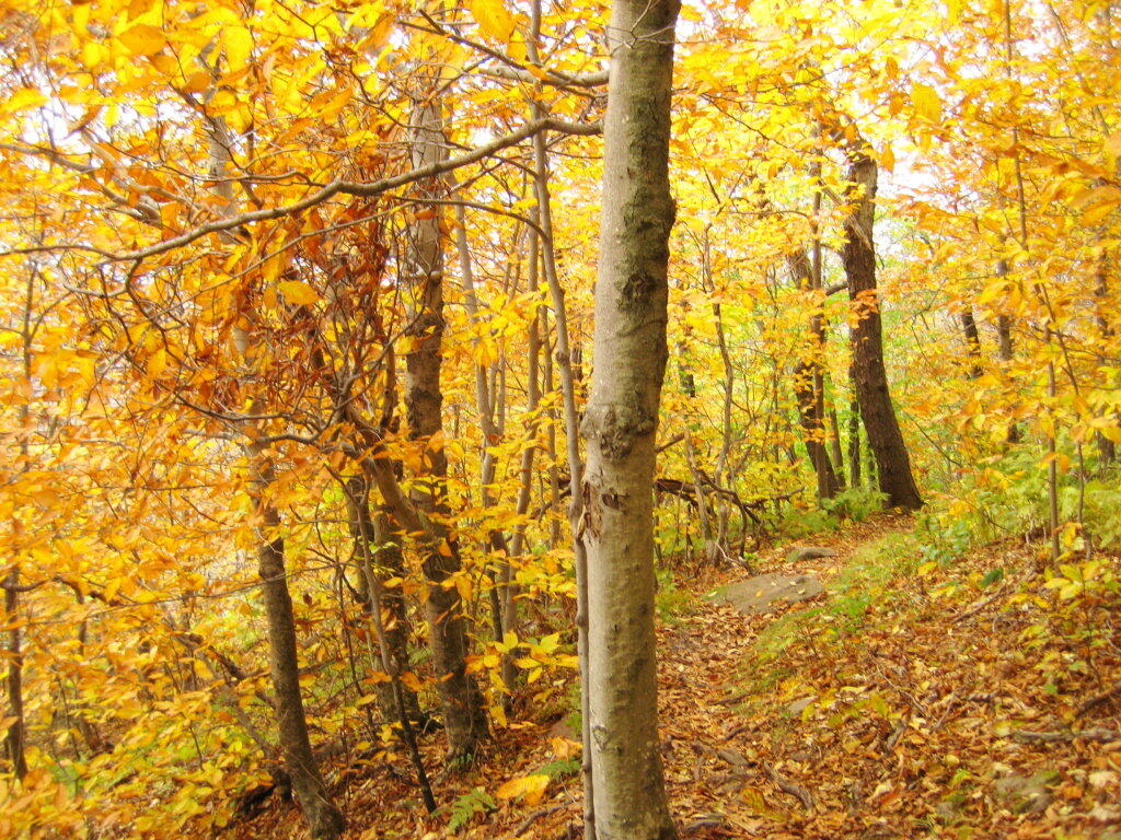
Along the trail in full color.
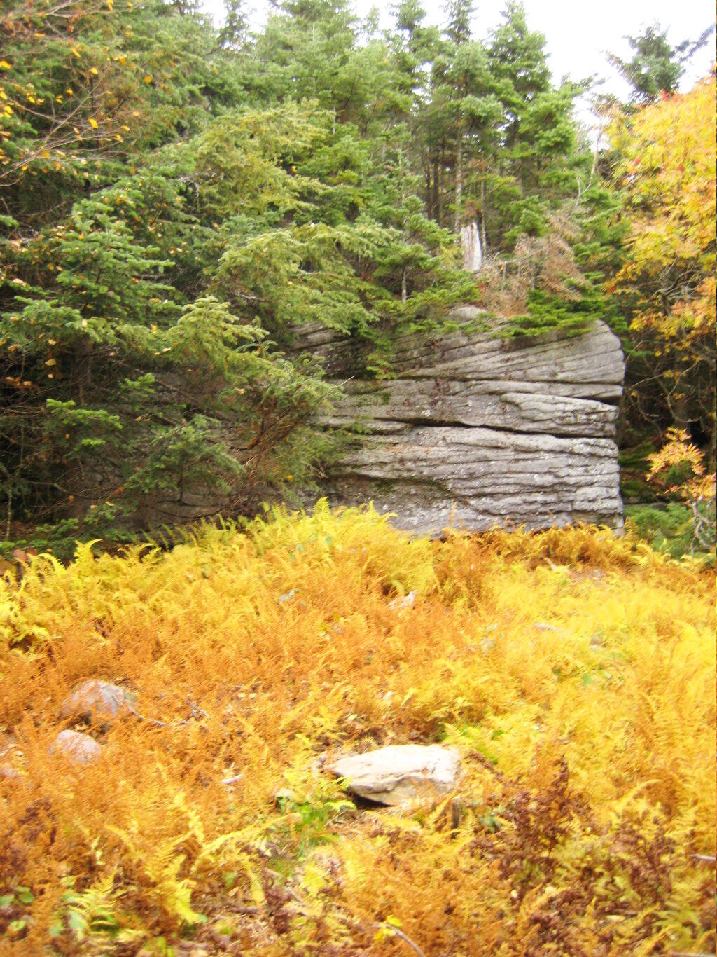
Interesting swamp with the ferns a bright yellow color.
A top the mountain, one of the first views is on top of a boulder.
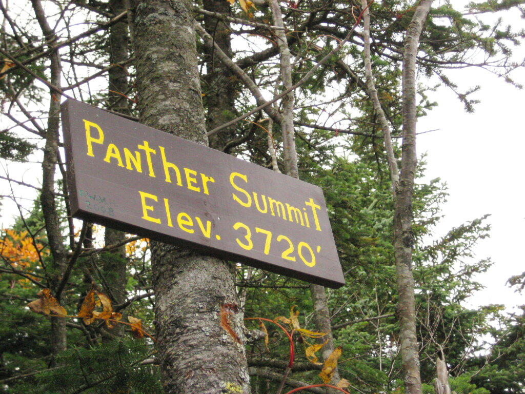
The Panther Summit is at 3,720 feet.
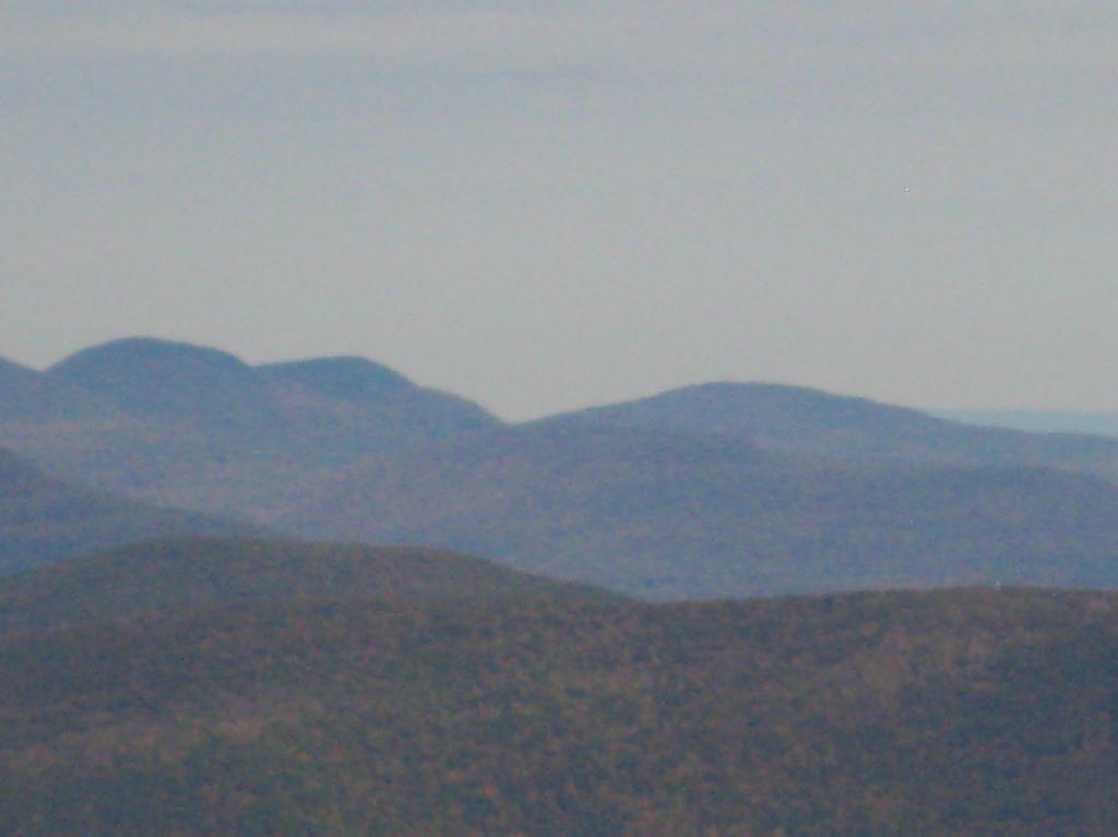
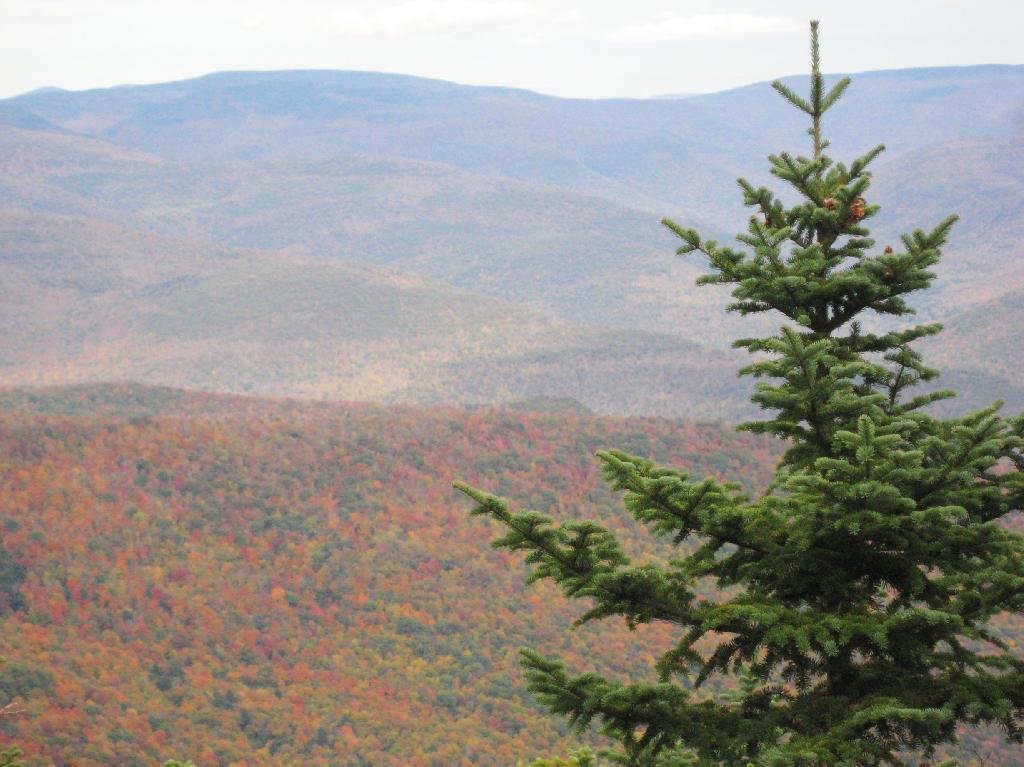
One of the best views off the mountain was how clear Indian Head Mountain looks from off of Panther Mountain.
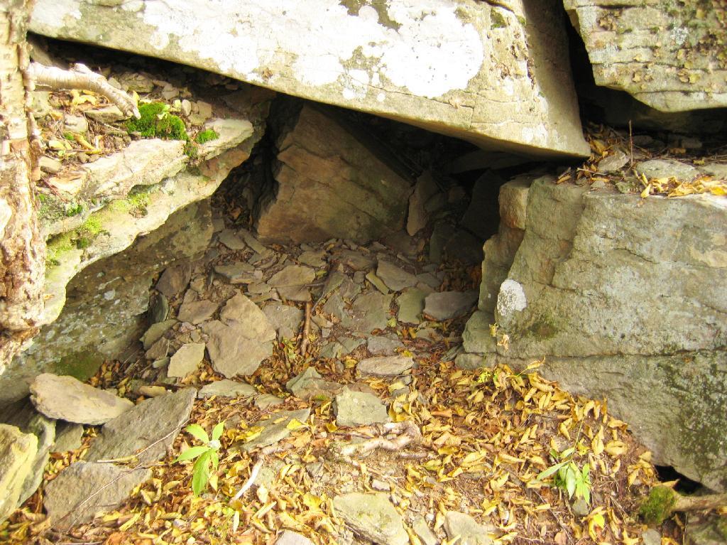
Off the trail, there is this cute little cave.
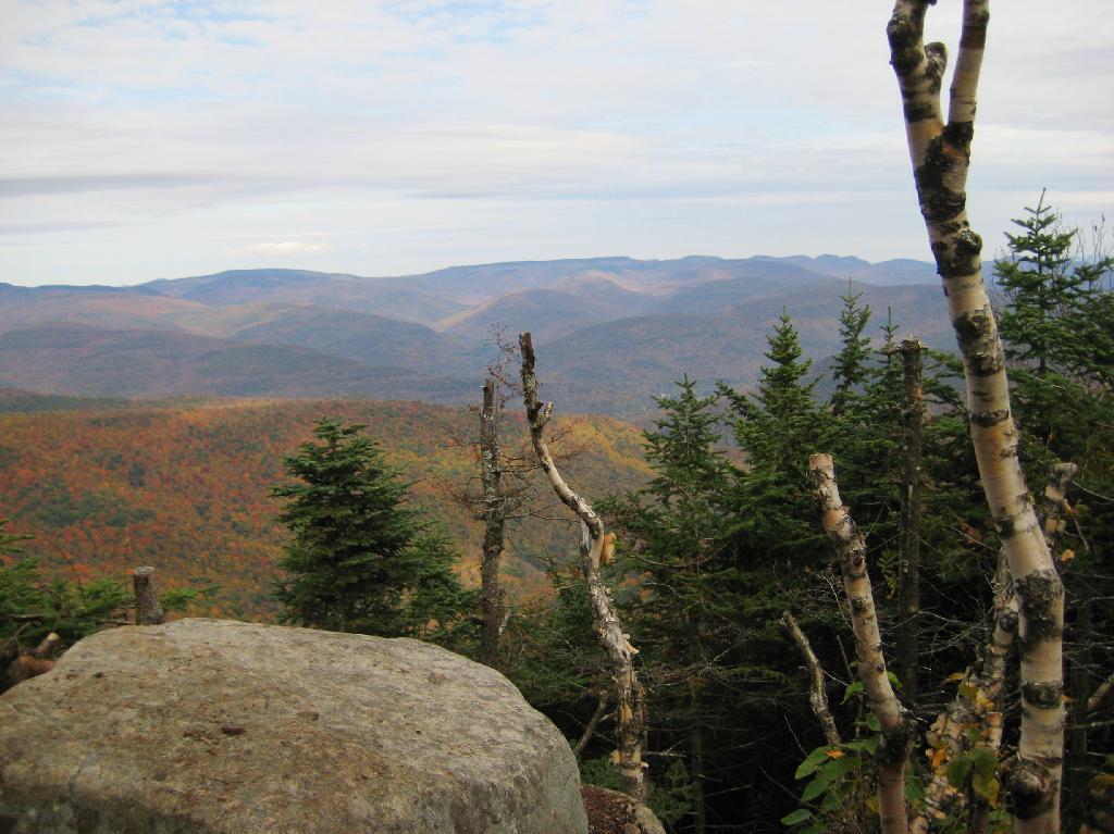
Looking into the Woodlawn Valley.
Mountains through the valley, looking off of Panther Mountain.
Mount Utsayantha is a village park, high above Stamford, NY. It is accessable either by driving or hiking up a steep one-lane truck trail. I decided to drive up, mainly because I was interested in the view more then the hike up (which would be delightful too).
Here is looking off the firetower at the former gift-shop/observation building that was badly vandalized and is in process of being restored.
Driving up the truck trail to the park, when you almost reach the top, there is a location where you can pull off, and looking for a wonderful northernly view, with farmlands in the foreground, and Emmenence State Forest in the distance.
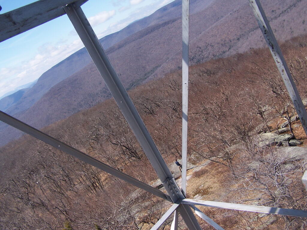
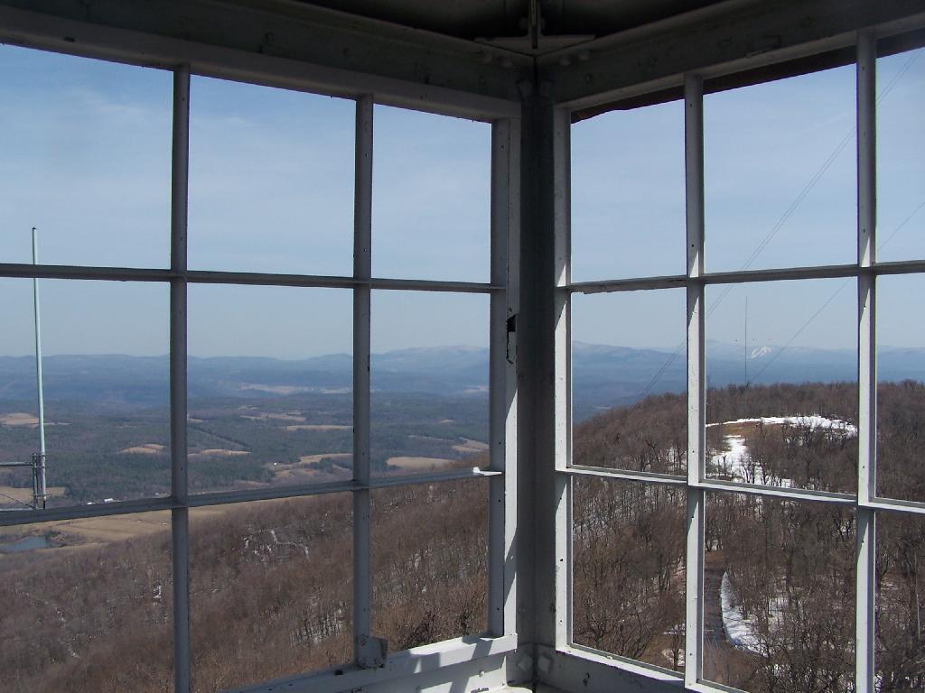
The views from atop of the fire tower are nothing short of amazing. This is from inside the tower, looking out the windows.
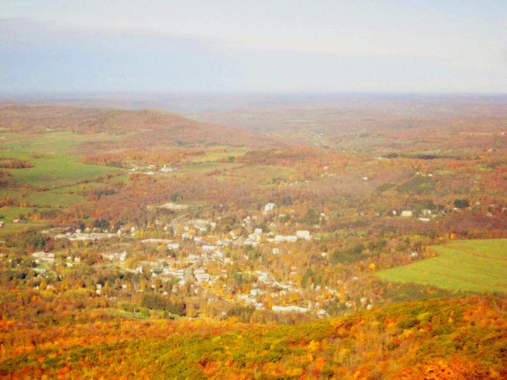
Here is Stamford, NY, looking off the mountain early on October 12th. They say on a clear day, in the distance you can see out towards Oneonta, or at least Hartwick College high up on the hill.
This is one of the amazing views looking out of the windows from the cabin of the fire tower.
Here is Churchhill Mountain in the foreground, with Lyon Mountain and Cowan Mountains in the background.
There are several radio towers on Utsayantha Mountain, which sometimes get in the way of pictures, but it’s still amazing what you see from the tower. In the background you see the area around Grand Gorge, and Irish and Pine Mountains inside of the park.
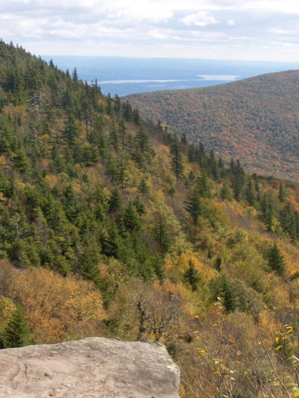
Here is the largely forested area north of Stamford, around places like Summit.
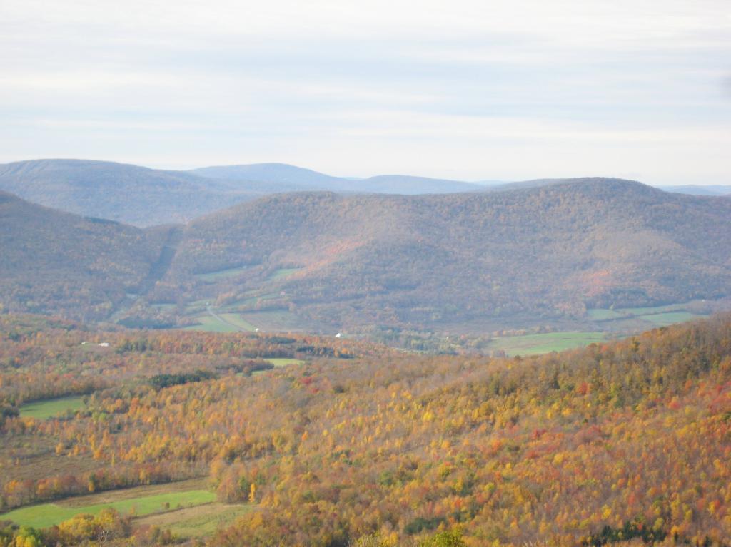
These are the many peaks around Roxbury, looking into the western Catskill Park.
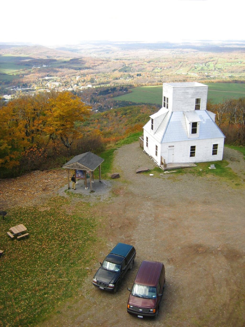
The Mount Utsayantha Fire Tower.
If you ever heading over NY 23, heading back from Oneonta to Albany, or otherwise can take a detour from NY 30 in the area of Grand George, it’s well worth to take a drive up to Stamford, and then up to the fire tower.
The truck trail up to Mount Utsayantha is unmaintained in the winter. Once ice sets in on the trail, you’ll be pretty much limited to going up it with snowshoes or x-country skis (if your careful — it’s steep). It’s probably very cold and windswept in the winter, but the views are probably still amazing.
Here is a map. To get there, take NY 23 East from Stamford to Tower Mountain Road on the outskirts of town, then drive Tower Mountain Road for about 2 miles, until you reach the top of a ridge. You can park from here, and either hike/snowshoe “Utsayantha Mountain” the dirt road a mile to the top or drive up it in nice weather.
After visiting Mount Usayantha earlier in the afternoon, I drove down to Vromans Nose to climb it, and take in the views on a wonderfully warm fall afternoon.
The colors along the hills gracing Vromans Nose where somewhat faded and past peak, but they still where quite amazing.
As I looked down along NY 30 and the Octagon House.
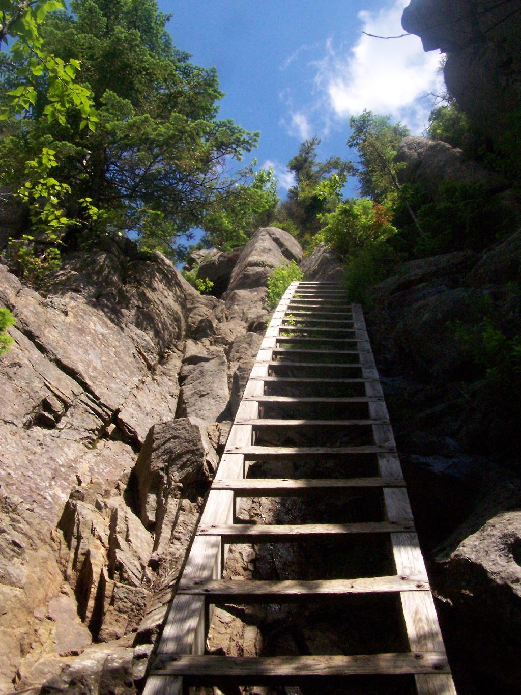
Then proceeded down the cliff.
A map of Vromans Nose. I drew these trails up from memory, they should be rough estimates of location of trails and not exactly GPS tracks.
I have a fear of heights. The more time I spend climbing up the side of mountains, hiking up fire towers, and working in a high rise buildings, the fear diminishes, but still is very much a real fear.
When I was young, I used to be afraid of escalators, and even walking out by a window of a high rise building. None of those things evoke much fear any more. After climbing mountains, I quickly hike up fire towers — even at night, with little fear. I like to look down, and look at the scenery around.
Yet, I still have a fear of heights, particularly of slipping and falling on the edge of a mountain trail or down a rock face. While this fear is rational, to a degree, it does bother me at times, and keep me from getting pictures or enjoying certain sections of a hike as much as I should be.
I guess it’s rational to realize that when a trail follows a potentially deadly 50 feet drop off one foot away, to be a little bit scared. I just wish I felt less concerned about looking off the trail and enjoying the vast scenery that can be seen rather then keeping an eye on the trail.
You can notice the general lack of photographs I have trails that run along the edge of mountains. It’s because I’m just too darn scared to take out the camera.
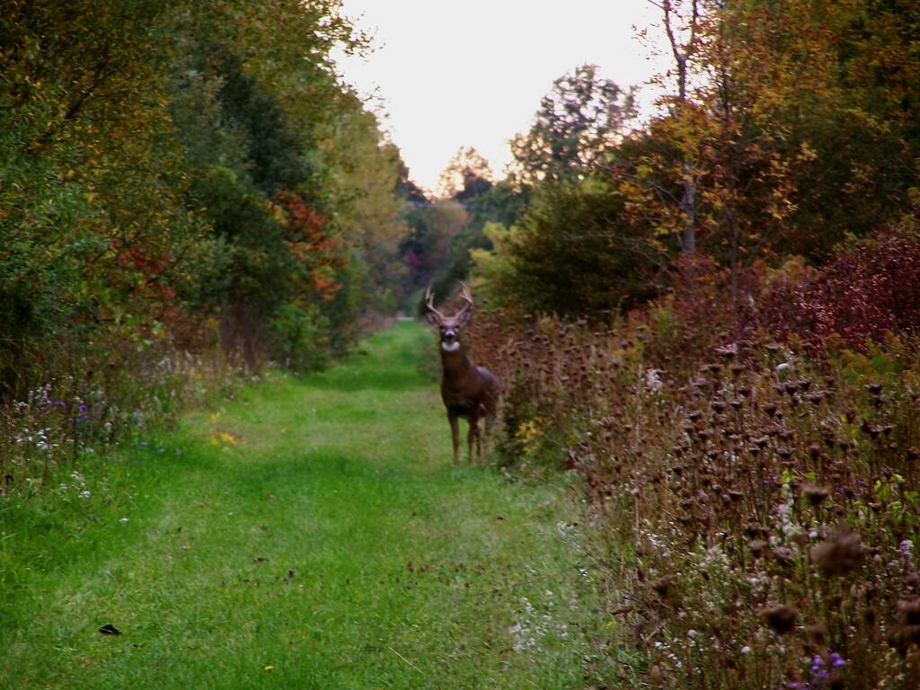
Joesph Davis State Park was one of the series of parks built in Niagara County during the 1950s when the county under went major changes, as the Fort Niagara Military base was turned over to state hands and then turned into the Robert Moses Parkway, and a series of parks. On weekends in the summer, there is a fee to park a car in the picnic area, and hunting is allowed in season.
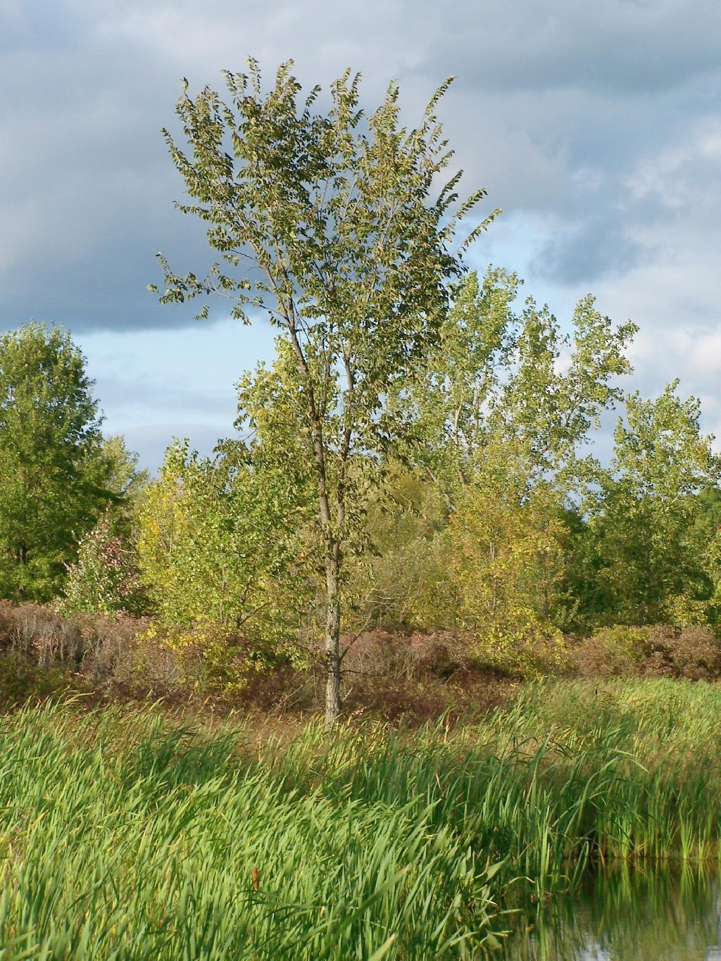
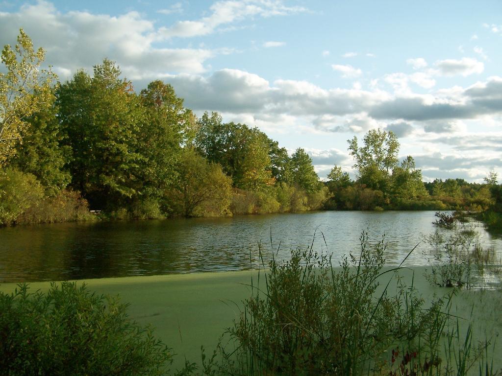
Sadly, most of this area was not well maintained or even well developed. The land is flat, but it is still interesting with a series of small ponds and trails that wind through it.
There was all kinds of wildlife through out the area, including this nice looking buck.
This pond was pretty.
As the evening approached, the sky darkened over the east, but sunrays lit up the foreground.


![Untitled [Expires May 4 2026]](https://andyarthur.org//data/photo_003800_large.jpg)