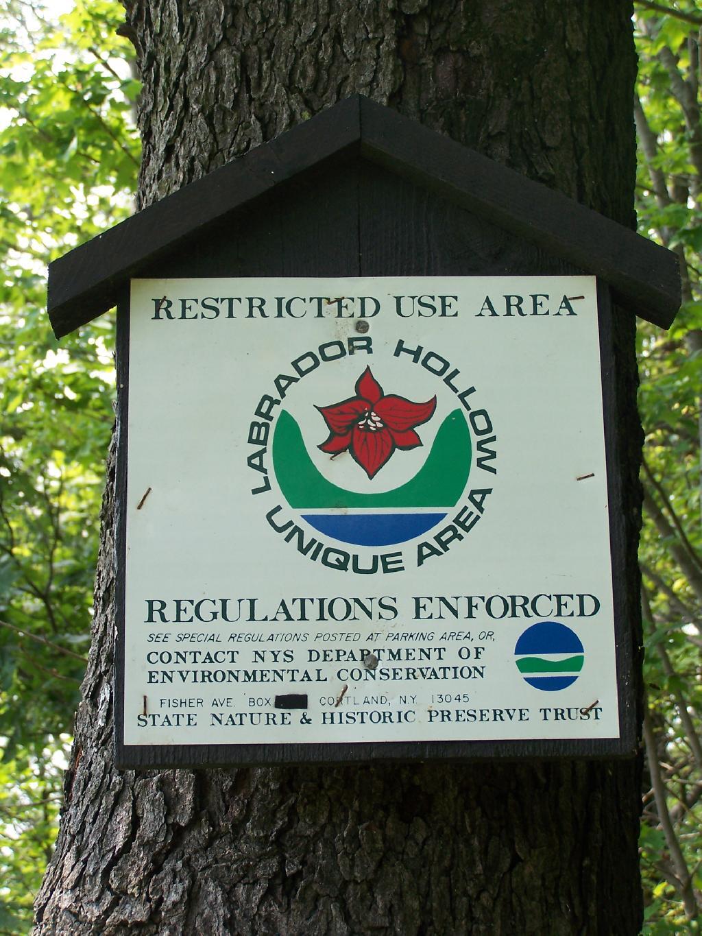
Labrador Hollow is a deep valley surrounded by large hills on both sides. It’s located on the border of Fabius in Ondondoga County (south of Syracuse), and Truxton in Cortland County.
At Labrador Hollow, there are three places you will want to check out:
Labrador Pond
Jones Hill Hang Gliders Cliff
Tinker Falls
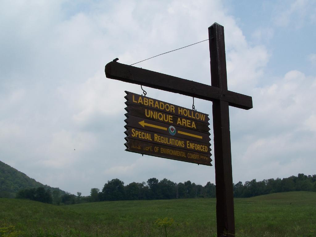
There are plenty of signs to guide you to the Labrador Hollow Parking area by the pond.
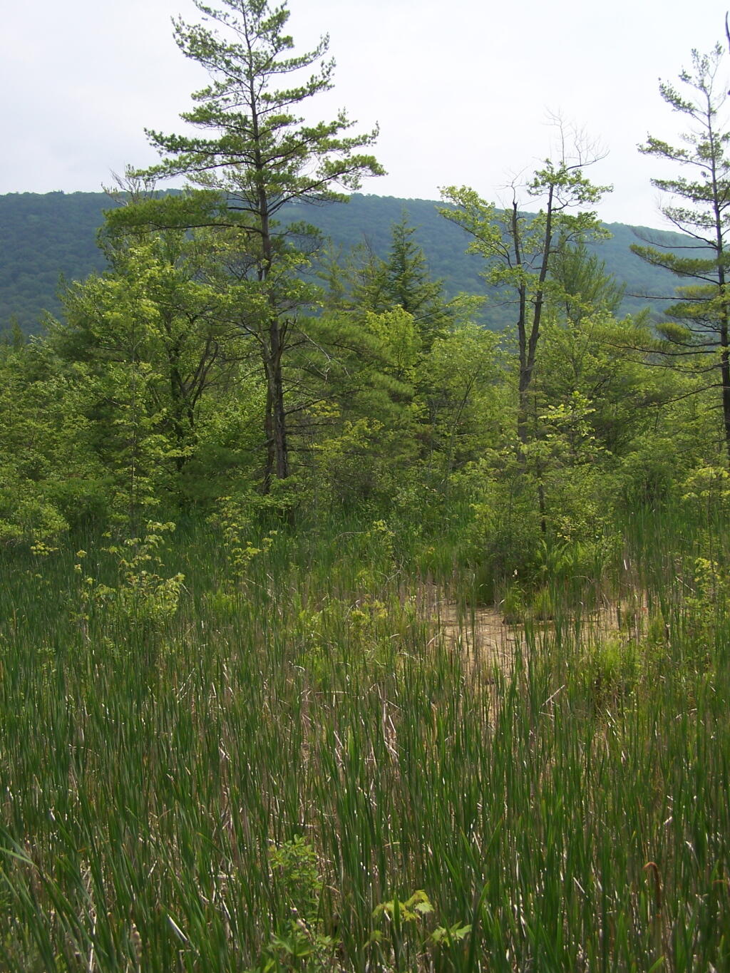
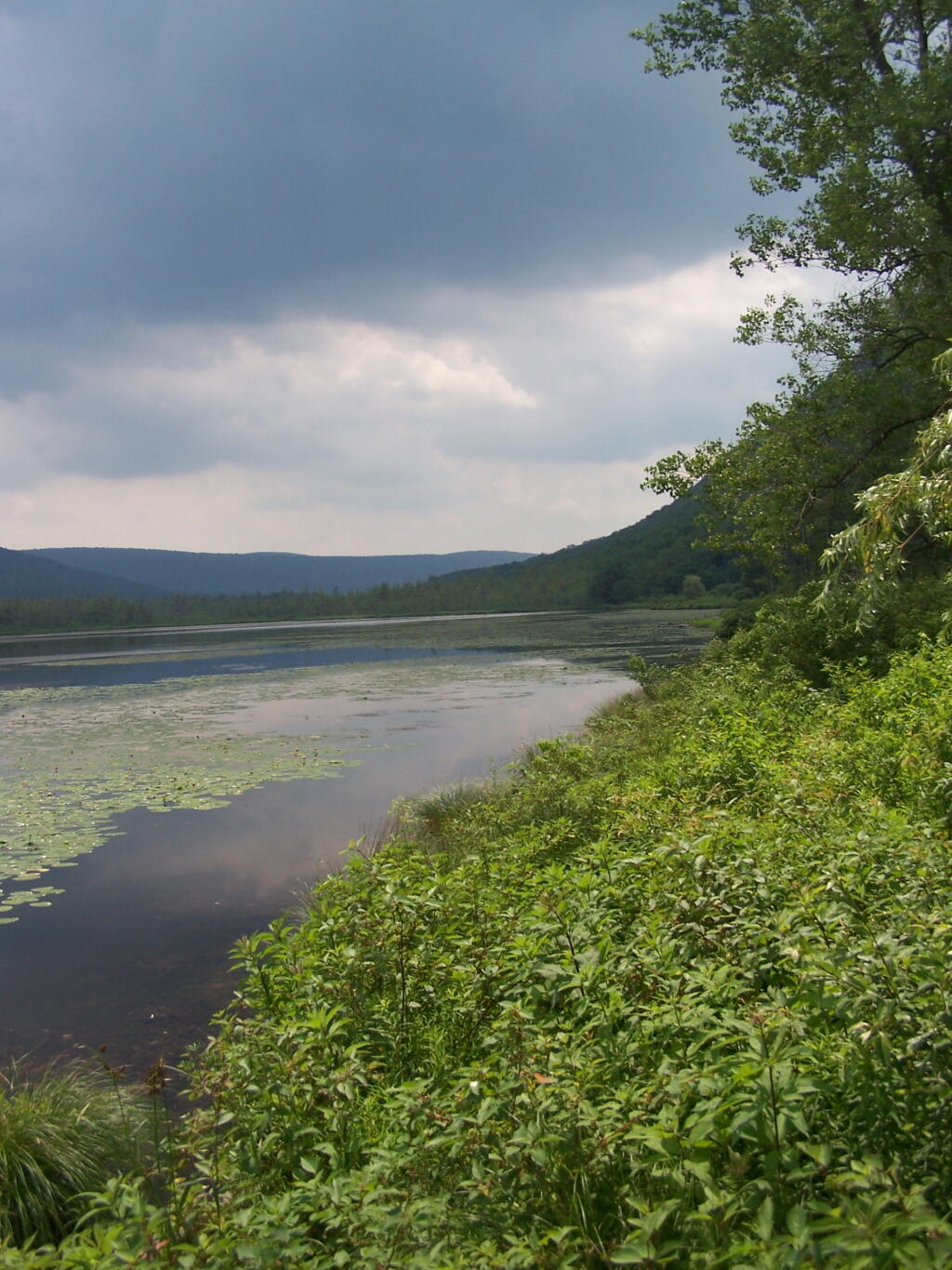
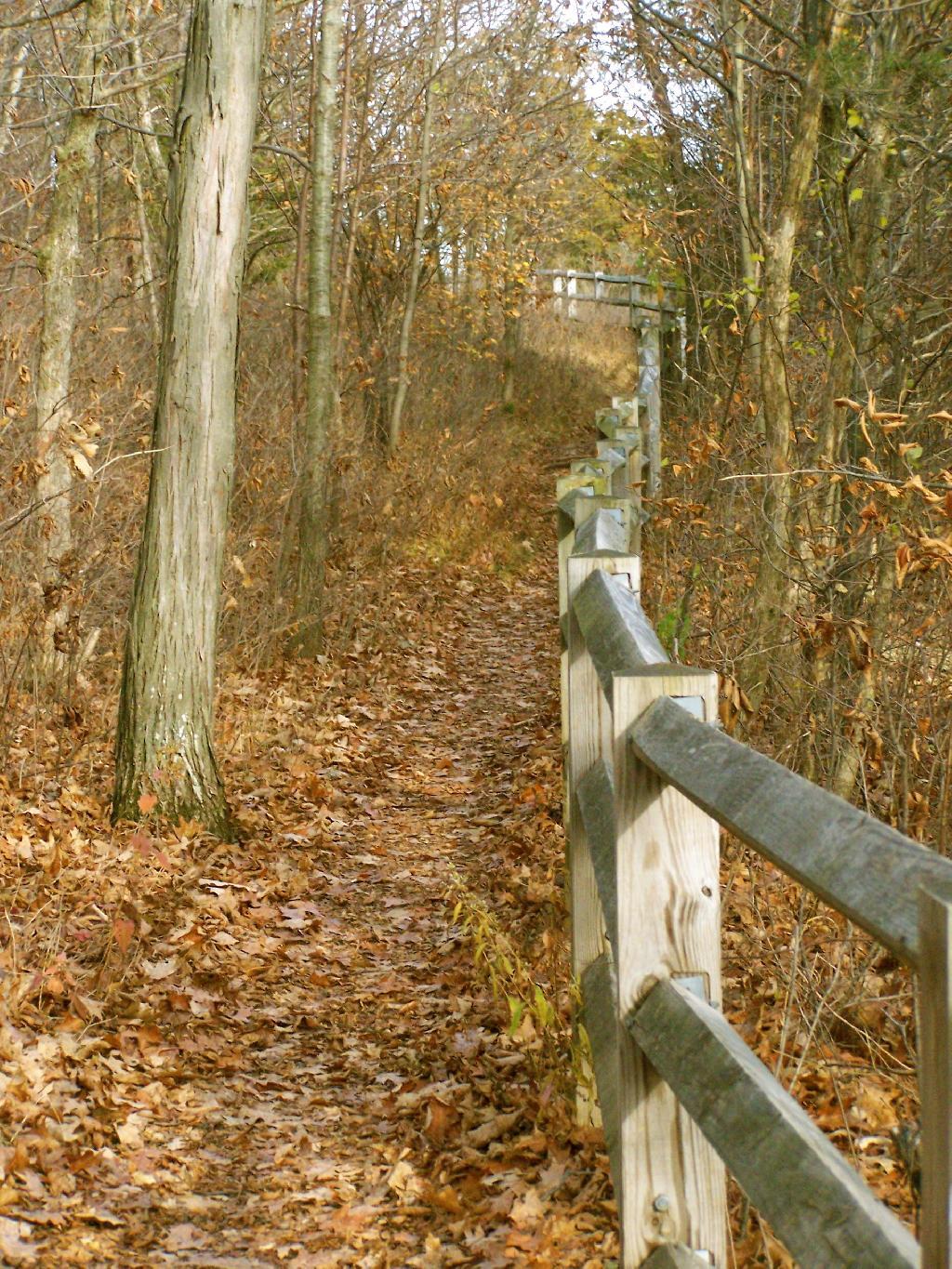
Through the marshy area, there is a 1/4 mile board walk which provides up close and personal views to the unique wildlife of the area.
You usually don’t get a chance to be right up in a marsh like this, unless your deep in the mud with your boots, or it’s less grown up and you could paddle a canoe or kyack. So despite being a little out of place, it does give you a unique experience.
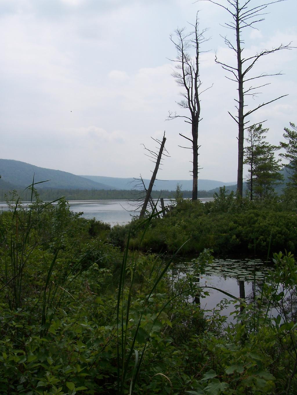
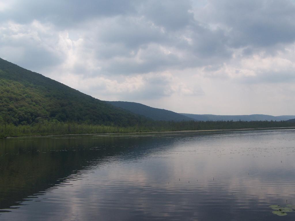
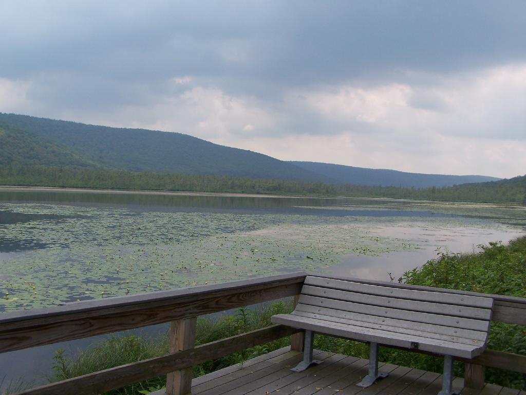
Looking at Labrador Pond through the marshlands.
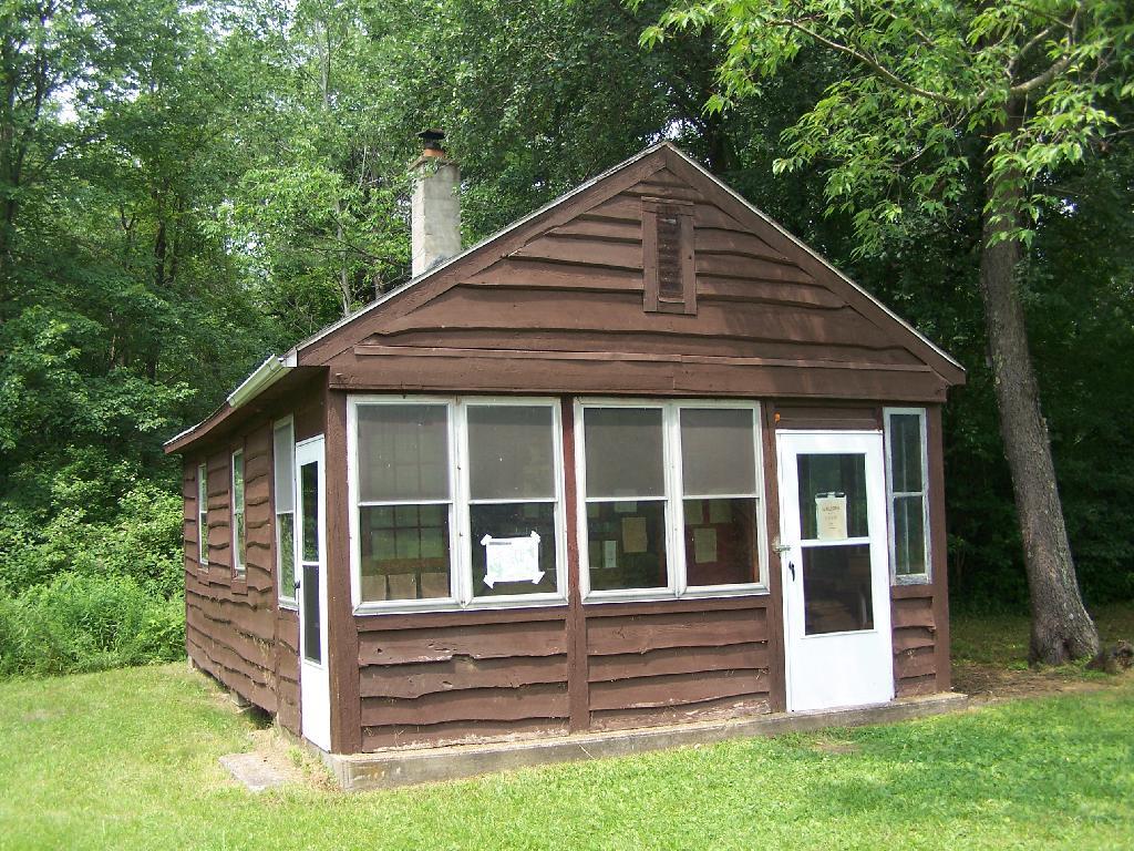
There used to be a firetower on Jones Hill, which is now a nature center down by Labrador Pond.
An open section is mowed, so you can sit dwon by the lake and enjoy the views.
Then I drove over to the Kyack/Canoe launch for the pond, on the western side along Labarador Hill.
Besides the kyack launch, there is a series of benches and a boardwalk that extend out into the lake.
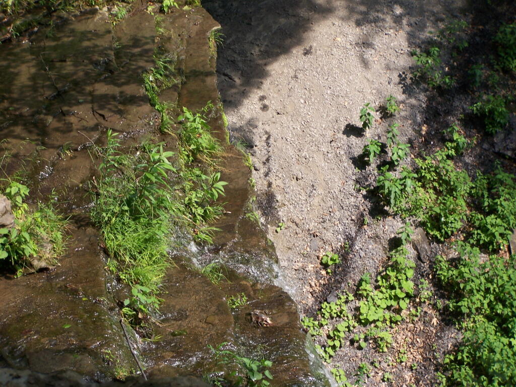
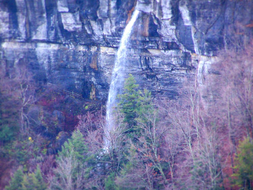
Later I drove around to the Eastern side of the lake, then hiked down to Tinker Falls, an accessiable water falls. The trail is an easy 1/4 mile walk that is only slightly inclined.
The falls aren’t big, being maybe 60 feet at the most, but they are still pretty and simple. I wouldn’t confuse it with Niagara Falls or even the Kaaterskill Falls. By afternoon, a lot of people where playing in the falls, trying to stay cool.
Here is the view from the top of Tinker Falls, accessed from the Finger Lakes Trail or the orange spur to the Finger Lakes Trail.
I then proceeded to hike up to the Hang Gliders launch spot by the Orange Blaze Connector trail which hooks up with the Finger Lakes Trail. This is route I took, it’s slightly longer and steeper then the old woods road route.
You can also follow the old woods road, which goes directly up to Hang Gliders spot on Jones Hill.
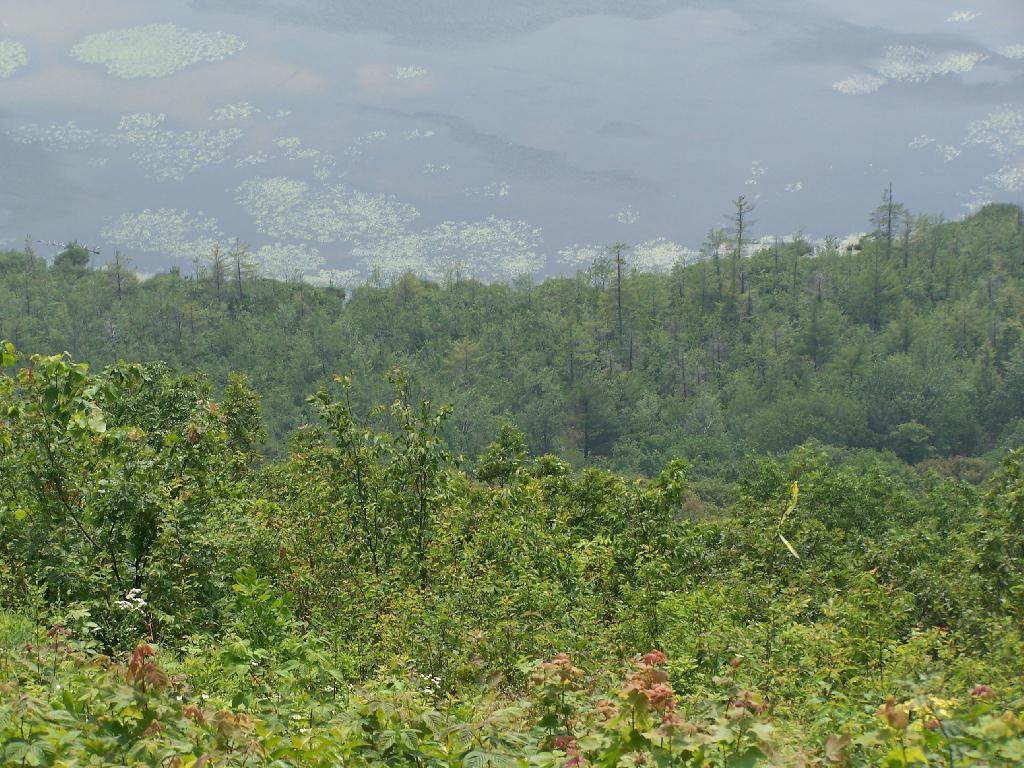
Part of the Finger Lakes Trail runs along the edge of Jones Hill, although there aren’t any real views this time of year.
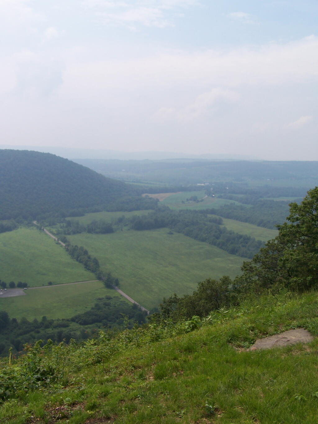
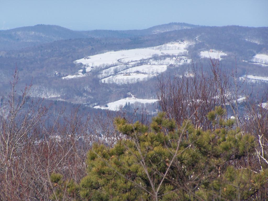
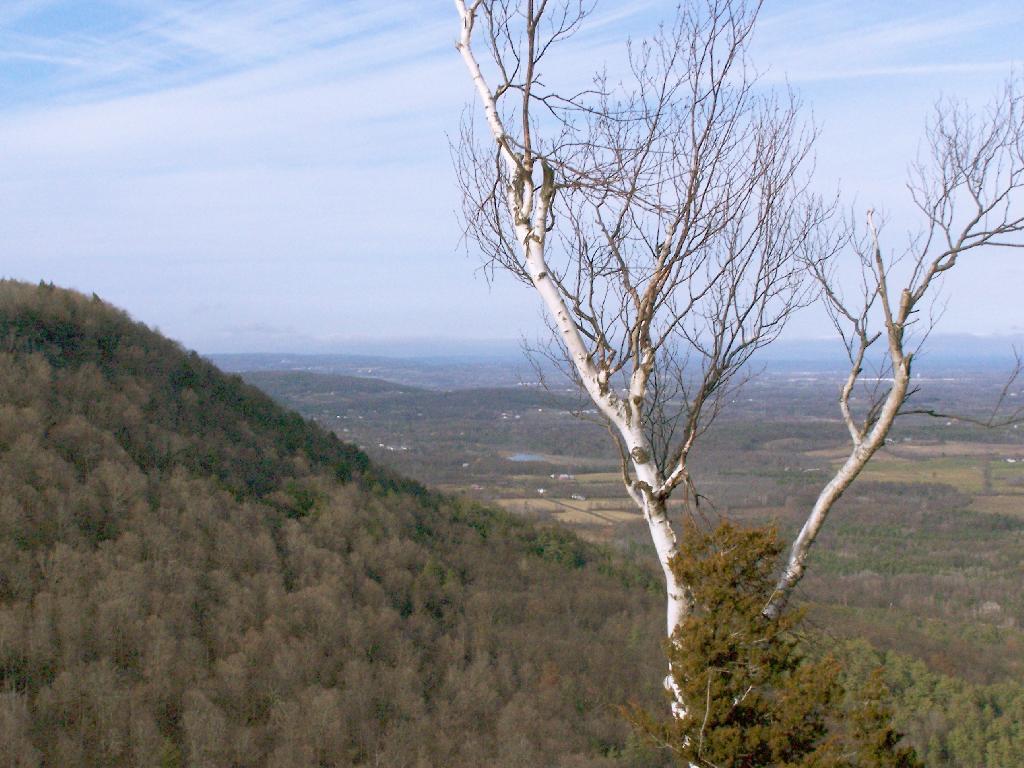
Arriving at Hang Gliders clearing. It was very hazy out, with limited views.
Looking down at Labrador Hollow and towards Labrador Hill.
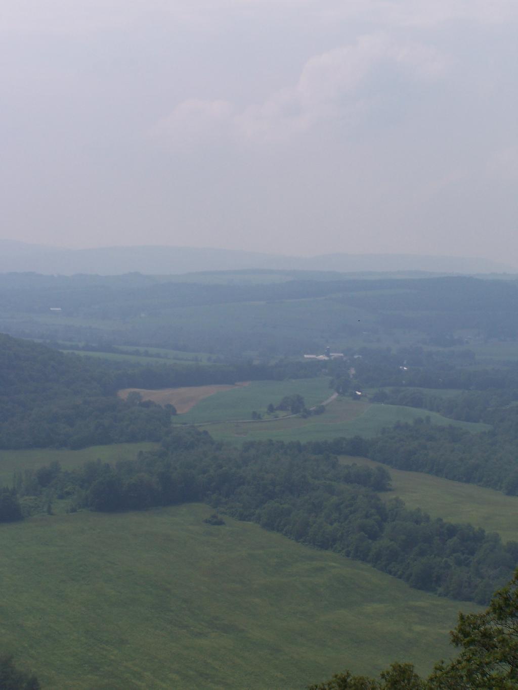
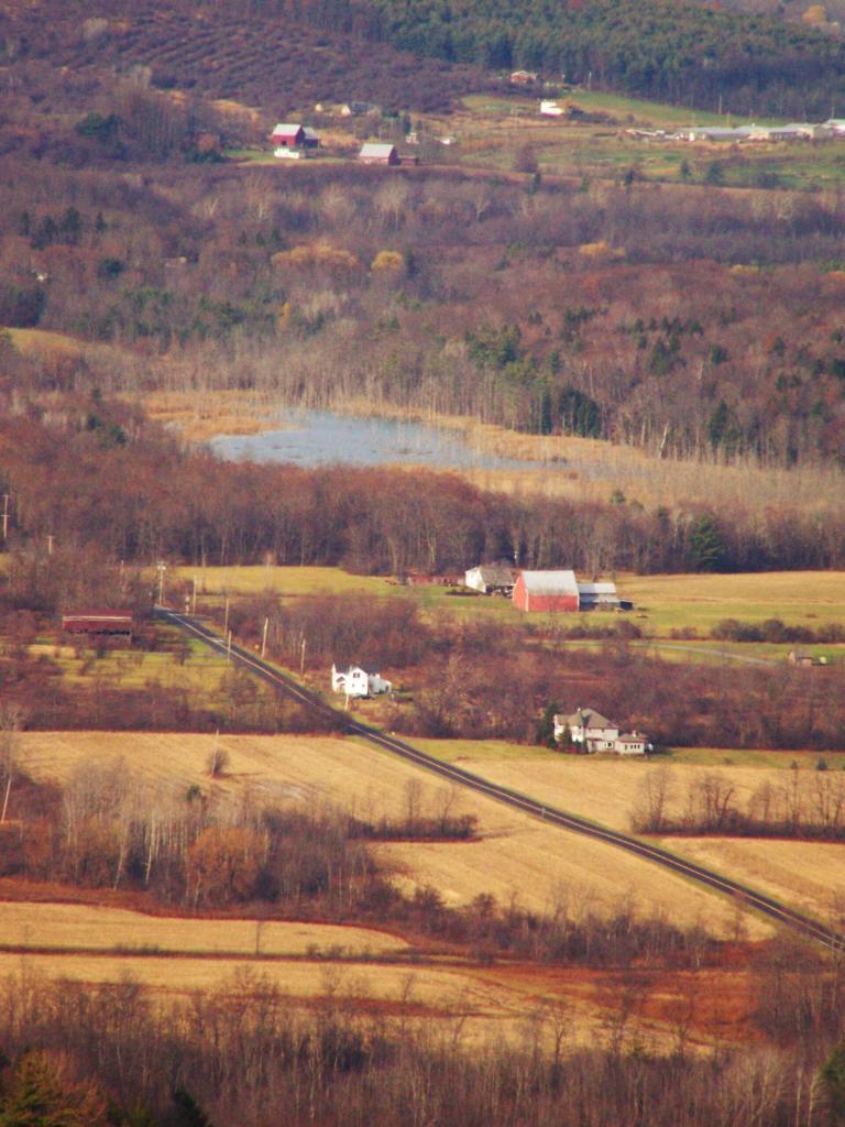
Farms in Fabius, with very poor views.
I want to come back on a clear fall day. Maybe this fall I will go back out and explore this area again in the future.
Back when I was in college, I used to drive back and forth between Plattsburgh and Albany a lot. I used to try a variety of routes, some more indirect then others, to see the scenery, especially when I had extra time to burn in the afternoon.
1) Via the Adirondack Northway.
The most direct and quick way is via the Adirondack Northway (I-87) all the way up.
This route is moderately fast. There is some spectular secenry along NY 22 as you head from Whitehall to Ticonderoga, with sweeping views of Lake Champlain.
I quite often would take this route over the old Lake Champlain Bridge when I wanted to visit Burlington. The old bridge was beautiful, as is the landscape after you cross into Vermont. Burlington is an amazingly nice city too.
I used to come back via Burlington some times, by taking VT 22A through the dairy country of southern Vermont. The land is pretty flat, and VT 22A, but there are still some amazing views of the Adirondack Mountains along this route.
For my Sunday afternoon walk this afternoon I went up to Thatcher Park. It was 60 degrees out, and quite nice weather for late November. The previous day it had rained quite hard and water was coming out quite intensively from the Horseshoe Falls.
Walking along the fence line above the Escarpment on Horseshoe Clove.
Looking south and at rather gray landscape off Thatcher Park.
Farms outside of Altamont in the fall without the leaves.
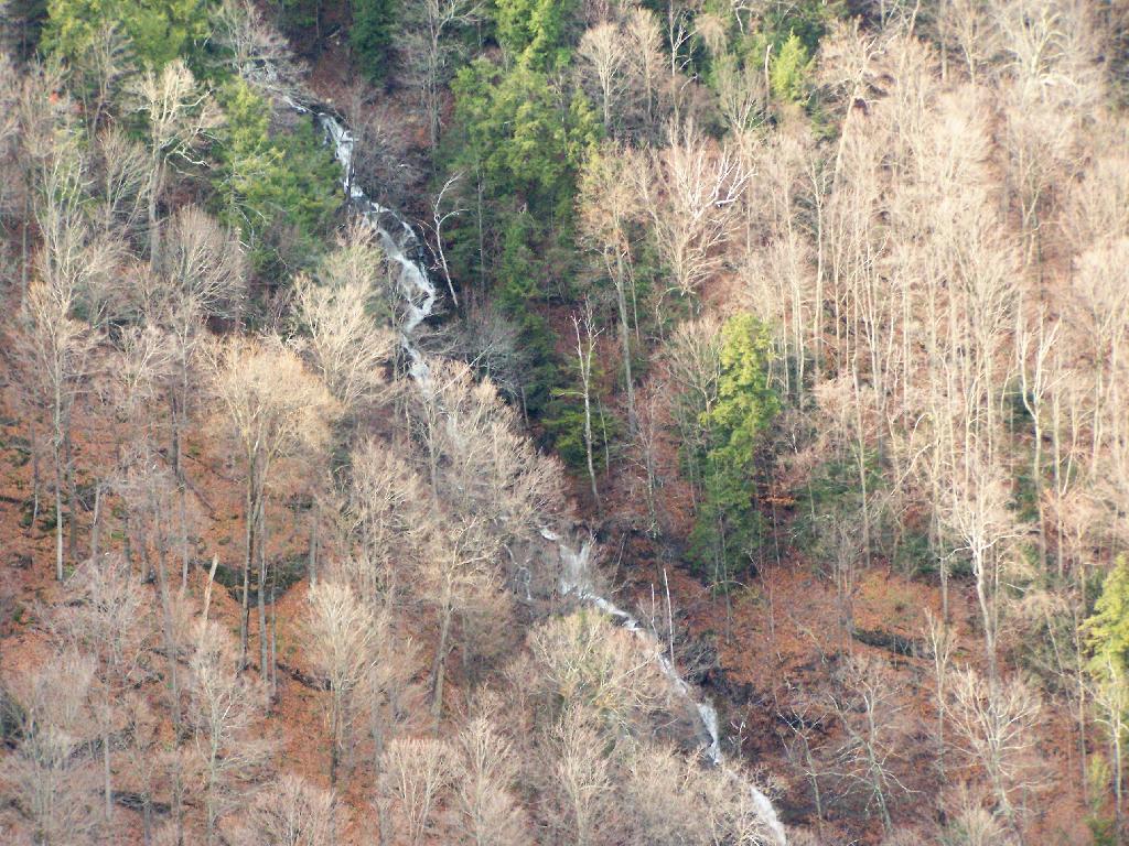
A stream of water coming north out of an upper clove.
I’m not sure if I have ever gotten lost before in the woods. There has been times when I’ve taken a trail to a surprise result. I don’t always have a perfect map in my head of every area I’ve been to, and sometimes when visiting a new area, I will loop back upon on a trail and be quite surpised at that fact.
Sometimes I will run into something unexpected in the woods that makes it impossible to reach my destination the way I originally expected. The cliff might drop off steeply, their might be a pond in the ways, the trail might be really muddy and mucky, or their might be a hunter up ahead. I usually find my way back to the trail without a problem.
There have been times when I’ve had difficulty locating one point or another. I almost always find it, after a little searching, if it’s nearby. Sometimes I will give up and go back, especially if my map’s quality is poor or if it’s not readily apparent where it should be.
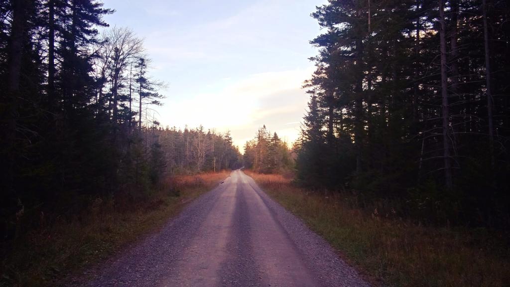
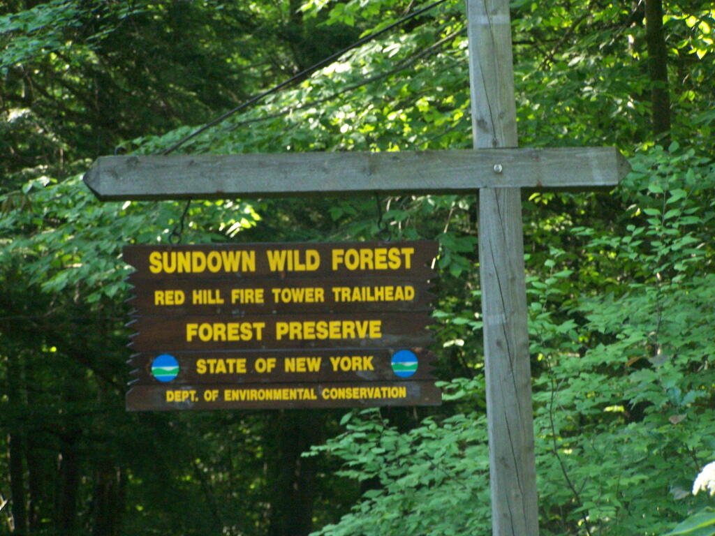
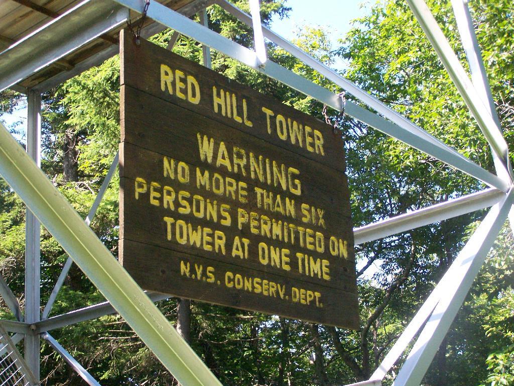
The Red Hill Firetower is on a relatively small in-holding of land by the state of New York that’s part of the larger Sundown Wild Forest. This was the forth Catskill firetower I have visited in recent weeks. I hiked on a beautiful Monday, which I had decided to take a vacation day on.
Red Hill is the easiest firetower to hike up to in the Catskills, even if it’s one of the most difficult to drive from the Albany-area. It is located outside of Grahamsville, about 10 miles North-West of Rondout Reservoir. There is only local dirt roads and windy county roads that run from NY Route 55, which itself is certainly not an expressway.
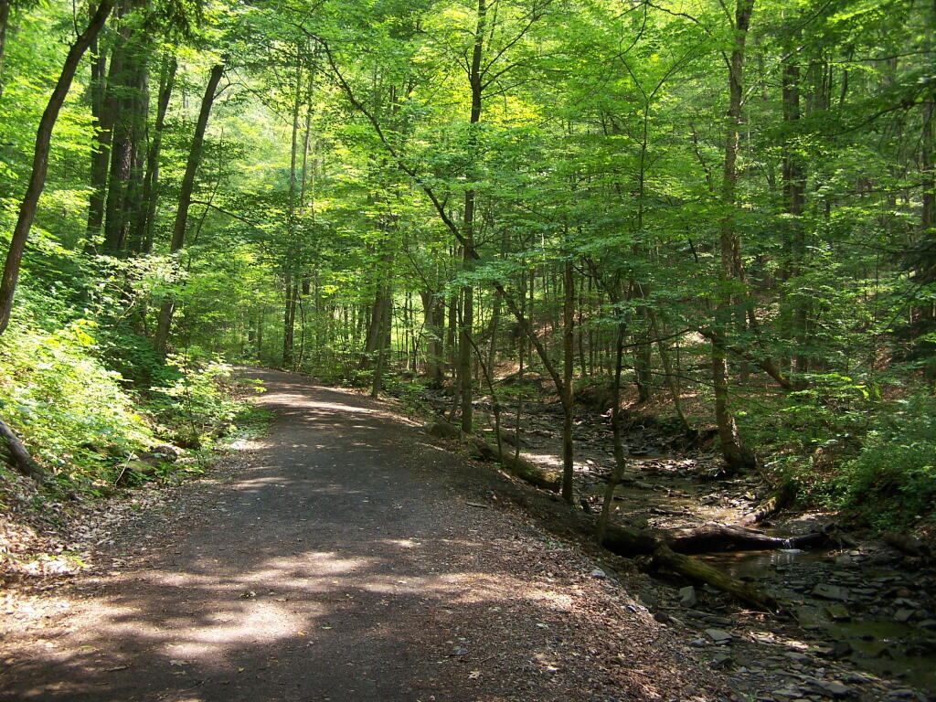
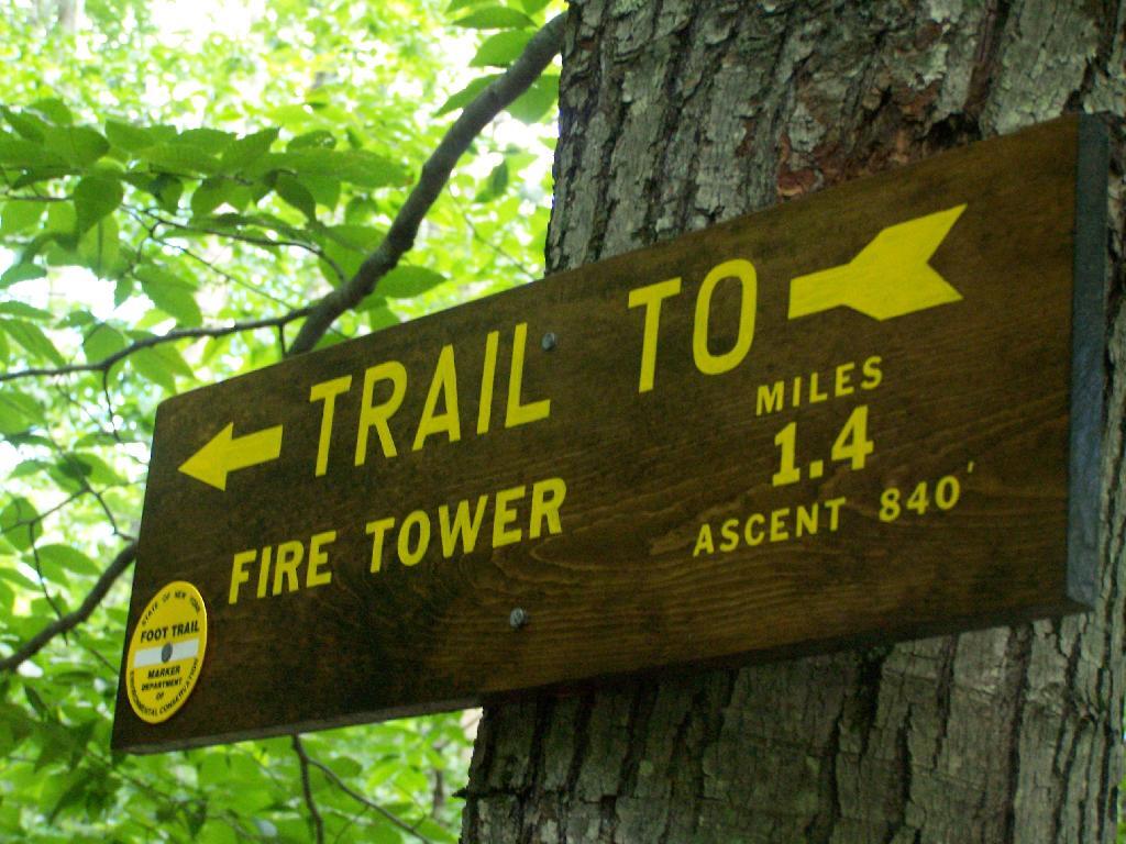
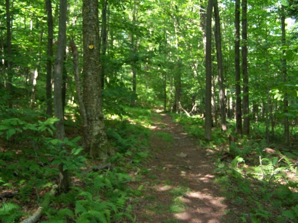
This is typical, relatively flat trail which you walk on for the first 9/10 of a mile.
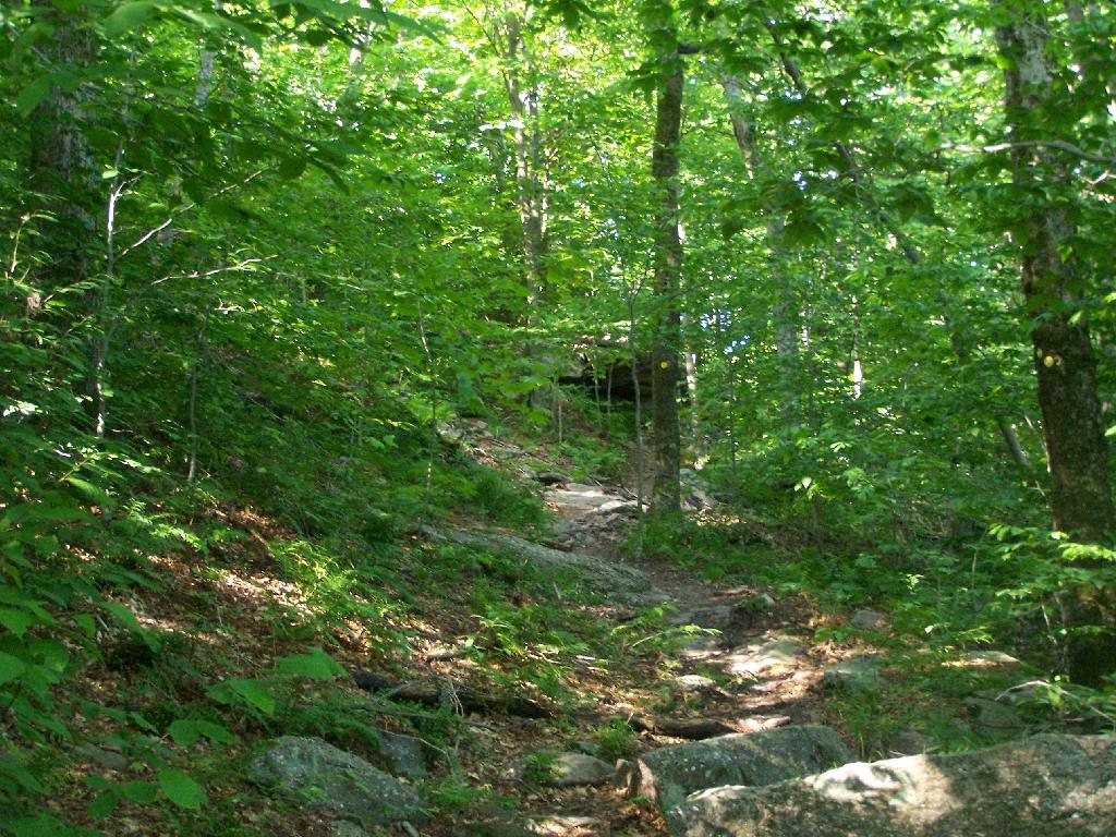
The last 1/2th of a mile is relatively steep compared to the first part, maybe gaining 400 feet in elevation, and you’ll have to stop and breath a few times as you go up towards there.
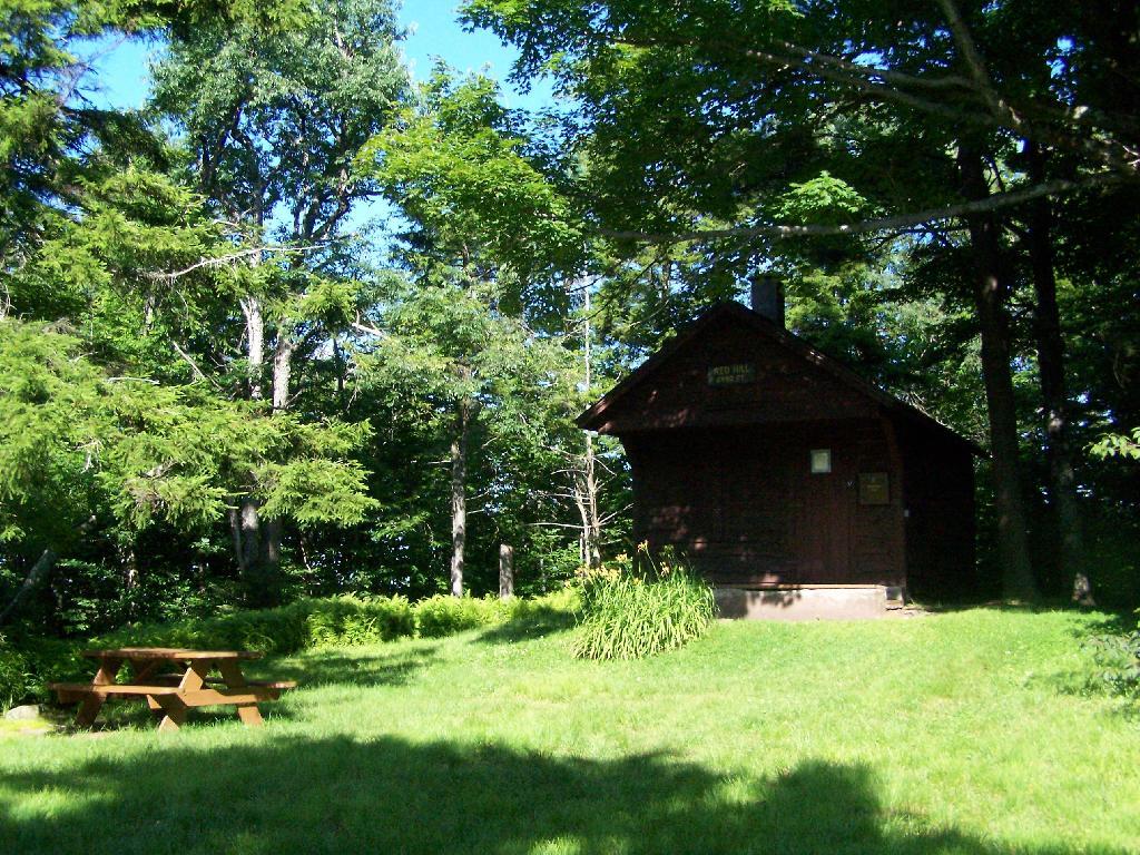
When you reach the top, there is an Ranger Station (open weekends) and several picnic tables. There are big signs saying fires are prohibited due to the fire danger, when the grass is dry. That should be a no brainier, but in the summer and winter, it seems a bit absurd. Must be a bad experience from years ago. There is no outhouse, you’ll have to walk off into the woods to find a place to squat and do your business.
This is the tower, directly across from the Ranger Station. It is staffed on the weekends.
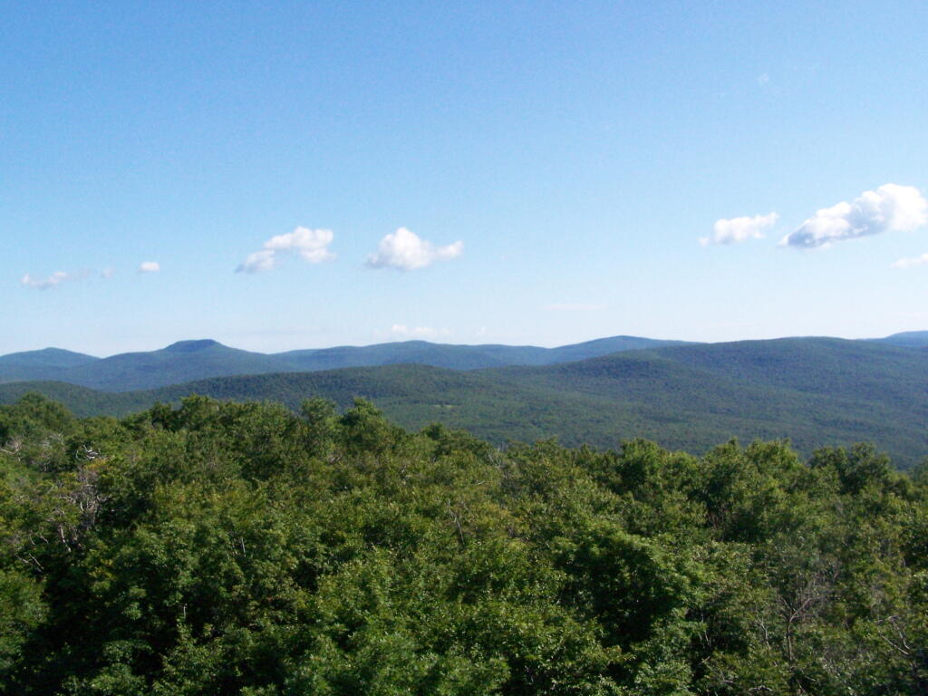
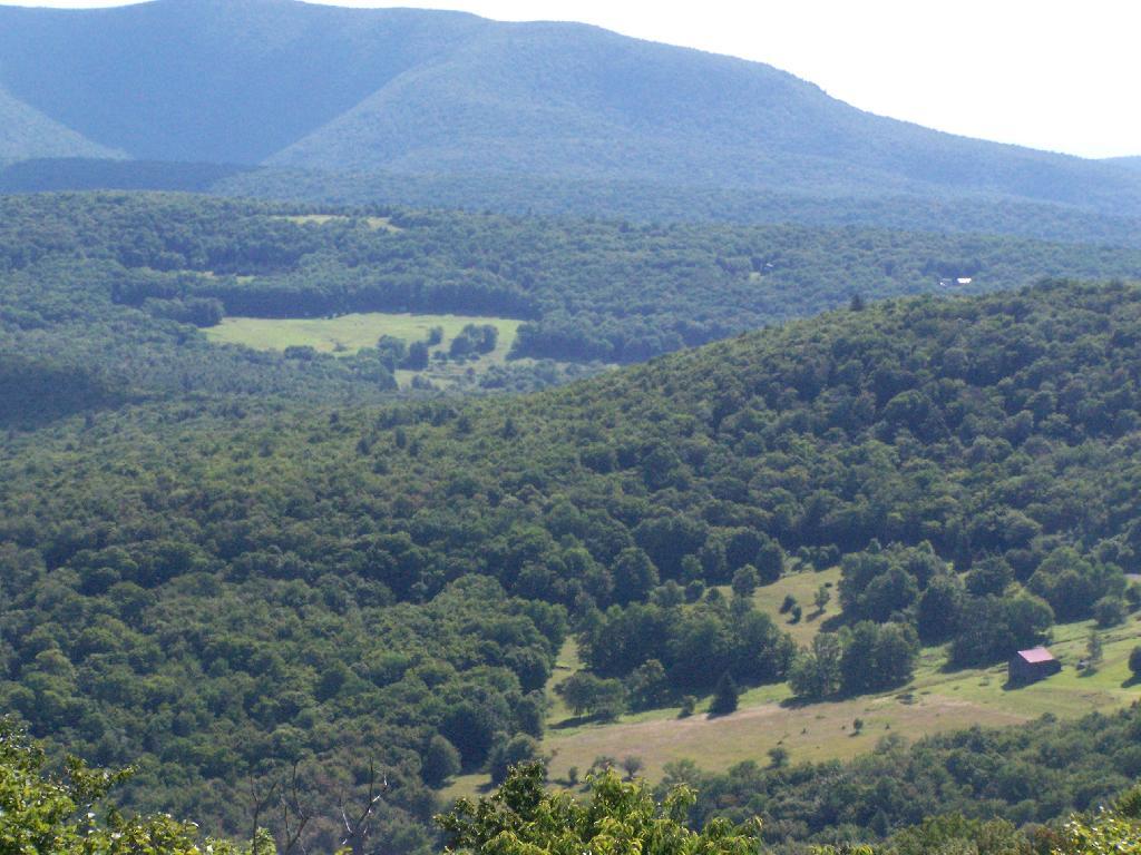
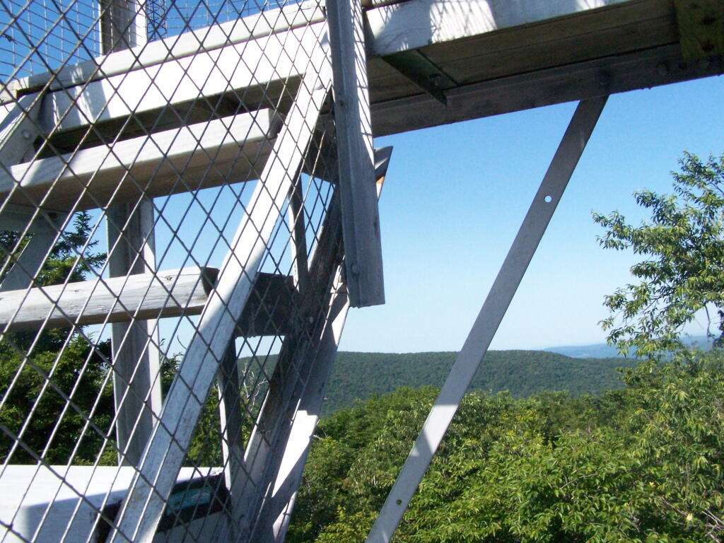
The views aren’t anything to write home about, unless you want to see mountains that are less then remarkable in the distance. This is to the north.
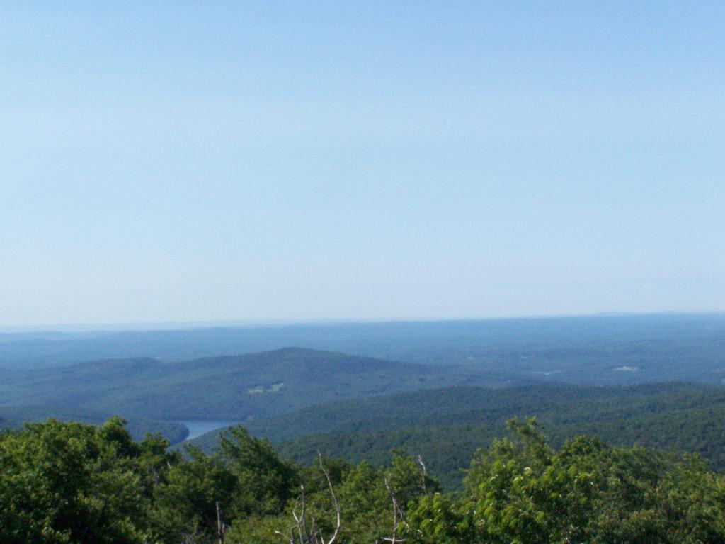
Red Hill is the southern edge of the Catskills, and as you can see looking to the south, the landscape is quite flat.
Most of the area around the tower is heavily wooded and owned by either the State or New York City DEP Water. There are a few farms around, especially looking west.
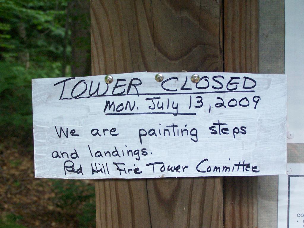
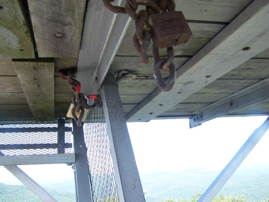
On the weekends, you can go into the tower’s cabin. Weekdays it is closed, supposedly because of vandalism. It’s bullshit if you ask me, because who drives 125 miles into the sticks and hikes 1.4 miles to vandalize an old tower? Mount Tremper is open.
Despite the lousy views (it’s a relative term), the fire tower must be popular, or so the many signs that warn people the tower can only support six people.
When I was leaving the fire tower I happened to hear an SUV coming up with the former Ranger (now a private individual). They where planning to paint the tower steps on Monday. He offered to unlock the tower, but I was inpatient, and he wouldn’t let me do it with the keys myself. I don’t know if I or him was being more of a dick.
After I left, he closed off the tower, because he was painting the steps.
This gives you an idea of what you see from the tower. Most notably, Doubletop Mountain and Rondout Reservoir. Nothing really super impressive though, just mountains and very little civilization in this rural part of Sullivan County.
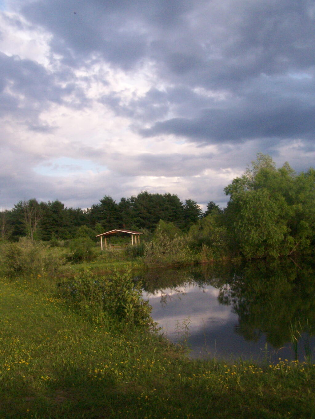
On Friday evening I decided to go for a little walk at Five Rivers Nature Preserve, not all that far from my apartment in Delmar. It was a cloudy evening out, but with some sun peaking through the clouds.
There was lots of wildlife out there enjoying the moist weather between the bands of showers that where coming through.
Then it started to rain, so I ran over to this shelter.
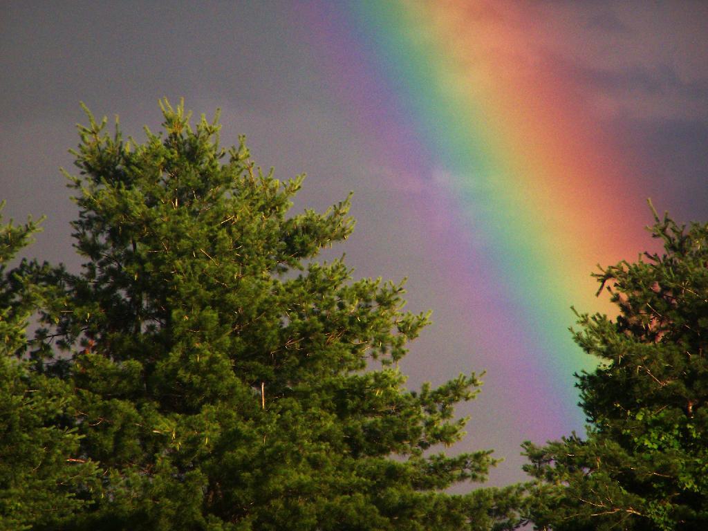
After the rain there where some spectular rainbows.