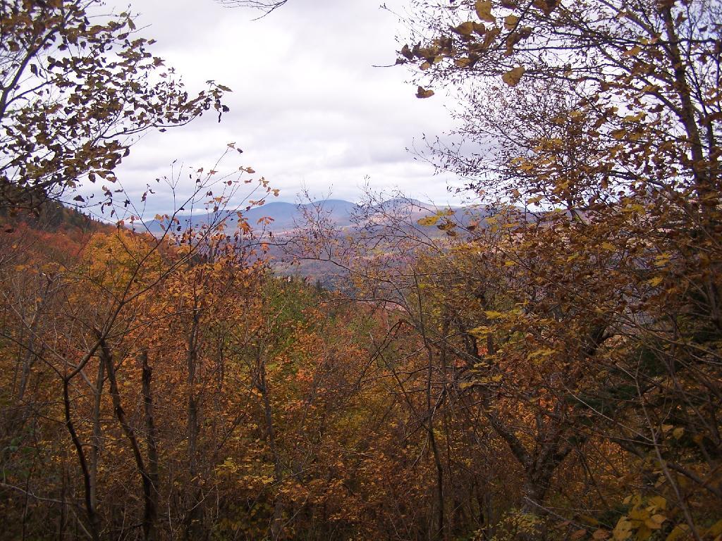
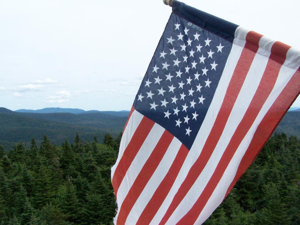
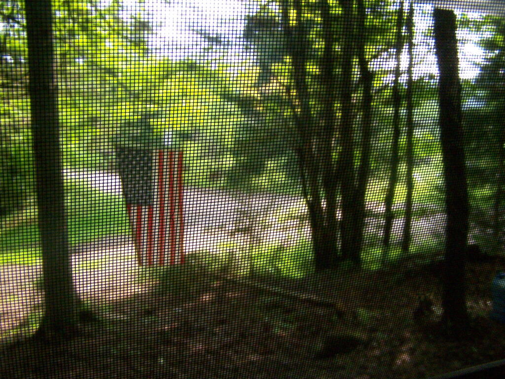
Columbus Day occurs in the North-East around the peak of fall, when colors are at it’s finest. It’s a celebration of Christopher’s Discovery of North America, which would eventually lead to it’s mass colonisation by many Europeans seeking a new life and the seemingless inexhaustible new resources under-tapped and under-utilised by the native peoples.
Many different areas have different celebrations for Columbus Day. In New York State, it is a state holiday where most local and state agencies are closed, and there are big parades in major ciites, but in most other areas the holiday gets little special attention. Most private sector employers, and SUNY does not close for the holiday.
While the Christopher Columbus’s legacy is controversial due to his brutal tactics and those who followed him, he did forever change our world by his popularisation of the North America as a land of endless resources. Population growth and advanced technologies exploited many of these resources to capacity and beyond, and in doing so created a prosperous nation which forever would go on to change the world.
For the three-year anniversary of September 11th, I felt it would be appropriate to put to a short memoir of that day. After all this time, it still rings amazing clear from the time I first found out until I became aware at the truly horrifying nature of the attack. Still, I realize that memory fails over time, so I figured that I ought to put it all down on paper the best way possible.
The day was September 11, 2001 and it was a Tuesday. I got to sleep into about 8 AM, as my first class was not until 11 AM. My dad was still home, helping my grandfather who had been sick the previous night. I woke up, read the papers online and offline, and took a shower like usual. Looking out, it was going to be a beautiful, clear and crisp September day. It was ideal weather. I was happy, as I was starting to love college and all the freedom it brought, even though I had only been there for two weeks total.
Right after I had taken my shower, and was about to leave with my dad to take him to work and for me to go to college, my mom called. She just called to check in, and to find out if dad was planning on going to work with me. Over the phone she mentioned that a plane had hit one of the World Trade Center buildings, though it didn’t get much of reaction from me. At that point, I knew that the World Trade Center buildings were those big and tall, ugly gray buildings in the skyline of the city, but little more.
Plane accidents and other rather horrific things are announced on the news all the time, so I wasn’t particularly surprised. It was 9:30 about then, and I hopped in my car and turned on the radio and listened to music for about 10 minutes. A little before 9:45 AM, there was a news bulletin about this story, and it suggested that I turn to WGY radio station for more details. The news bulletin suggested it might be terrorism. Flipping to WGY, I was shocked to hear that the FAA thought that several planes had been hijacked that this was part of a massive attack on the United States.
I listened carefully. Details on the radio were often sketchy and confusing. There was the Pentagon attack, two or one planes in the World Trade Center, and a lot of other information that proved to be wrong. My dad and me speculated on what this would mean to the United States, and how different policy actors would react to these attacks. He said it would be an incredibly interesting time to be studying Political Science.
I dropped him off to work at the Center for the Disabled in South Albany. He got out of the car, and suggested I turn off the radio so not to be distracted while driving. I went to turn on the music station I was listening to previously, but it just mirrored WGY. Clear Channel directed all its stations to these terrorist attacks. I got to college at about 10:30 A.M., and by then I started to get a fairly good idea on what had happened, though many of the details were still sketchy.
The attack had left me feeling a bit overwhelmed and shocked at the same time. It was a rather strange feeling, one that is nearly impossible to describe in words. I was downright angry that any individual or group could be so wasteful and do such destruction. I also felt like I was deathly alone, even though I was sitting in a parking lot full of students all sitting in their cars listening to the radios. Still, I stayed at college, intent on going to my class. I wasn’t particularly scared, though I guess it would have been smart to evacuate the city to go home, where I would have been safe. I just could not seem to personalize these events until I saw them.
I got out of my car about 10:45 AM and walked over to Amstuz Hall for my 11 AM Statistics Class. When I got there, the television was on, showing for the first time some of the most horrific scene I had ever seen. The bright blue sky contrasted against the burning buildings. They repeatedly showed the same couple of seconds of poorly shot film of the second plane hitting the building and the smoldering one plain. Then the news got worst: one of the buildings had collapsed. The news was so horrific, though nobody really knew how to react.
Throughout the day, a question kept popping up in my mind: what would this mean to us Americans? I knew how a post-Columbine world meant the decline of our civil liberties in High School, and I couldn’t imagine what would become of America. Some of the radio commentaries hinted slightly at this issue, though most it was drown out by the shock and hype about this day. I went as far as to mention to a friend that I thought “the worst tragedy won’t happen today, but September 12 or whenever Congress gets back down to business”. I knew that future legislation like the PATRIOT Act would greatly threaten our liberties.
A little after 11 AM, I was notified that all classes were canceled for the day. I called my mom and let her know I was okay, classes were cancelled, and that it looked like both towers had fell. Then, I hopped in my car and went home. But first, I sat in my car, waiting for traffic to clear, as thousands of students fought to get out of the parking lot. I sat in my car listening to the continuing radio coverage. I got home, and laid back, and drowned out the whole world.
Looking up at the sky the next couple of days, it was kind of refreshing to see a clear sky without any planes. It was kind of strange, but nice without the roar of jet engines passing distantly above, or jet trails clogging up the clear sky. I kind of wished the world would further remain this way, but I knew such an ideal was impossible to reach.
September 11th came and went. It was a shock, as was the drum beat up to war. This was the first real war of my lifetime, and it challenged me to think about my pacifism in new ways. I fought passionately for civil liberties in class debates, but my wonderful History of the 20th Century Professor Carmen was probably right to a degree: things had to change a bit for war, and that we had to give up only a few civil liberties. Still, I just wish this attack never happened, and that we could enjoy the full liberties of yesteryear.
Today is Independence Day or July 4, the day many of us take off to celebrate the day we declared our independence from the British. Most of us know the significance of this day that forever changed our history, but we also at the same time forget how much we have changed since those revolutionary times.
Back in 1776 and for nearly a century there-after we were largely an agrarian and rural society. Most people farmed, their livelihoods were connected to the land. Few people traveled long distances, and most would die only a few miles from where they were born. The connections to community and the land that supported us was strong.
While Americans had some of the resources of industrialising Britain, we were largely dependent on our ourselves. We made most of what we needed, our foot print on the modern world was small. People could act even in foolish ways and have a minimal impact on the world. Today technology with all it’s destructive power simply did not exist.
We certainly have farmland and rural areas today. Yet, we now hop in our pickup truck and our able to be transmitted to an urbanised area in minutes. Few people are very free at all to chose their own lives. We are always connected using information technology from the simple telephone to the sophisticated Internet. Yet that’s not community in the old sense.
Even the meaning of declaring war is different today. We could not go to war the way once were able to. Primitive firearms and cannons, while increasingly loud and dangerous in 1776 posed minimal risk to human kind compared to war today. The emotions of yesteryear and the fear of war today is changed by it being almost instantaneous and destructive to all in it’s path.
We will never be able to go back to those times. We have to live in the world of today, and realize that while we are blessed by all this technology it poses problems that simply did not exist years ago. We may celebrate what our founding fathers once did, but we must also be aware that we can never return back to their old world.
Today is the day that we remember all of the people who have given their lives for our country, along with all of those who are fighting oversees. It is a beautiful day, but also a sad day as more and more people are dying overseas for a questionable causes.
Like most Americans, I am proud of the work our fighting professionals are doing overseas. That is their job, their vocation. Yet, there is such a sadness and something missing back home here in America, particularly in the rural areas across our country. It is well known that a larger percentage of rural people go to fight for our country, as an opportunity and hope, only to come back home dead.
I hope that they all come back home alive. I know that’s not a realistic hope, and I fear for what so many of our communities are losing. Really good, really brave men go overseas to fight for our freedom, and leave our many communities behind. You simply can not say enough good about all the veterans and fighting men who put it all on the line.
Maybe by next year, things will be different as we will be celebrating our success in Iraq, and also have our men and women back home. Maybe next year, things will be just a little bit brighter, and our fighting men will be back here doing everything from building roads to protecting our homeland from the risk of terrorists.
So enjoy this beautiful first unofficial day of summer. And remember not everybody is as lucky as you are to be out enjoying it in the sun. Always remember those who are fighting on your behalf, and pray that all of them will make it home safely.
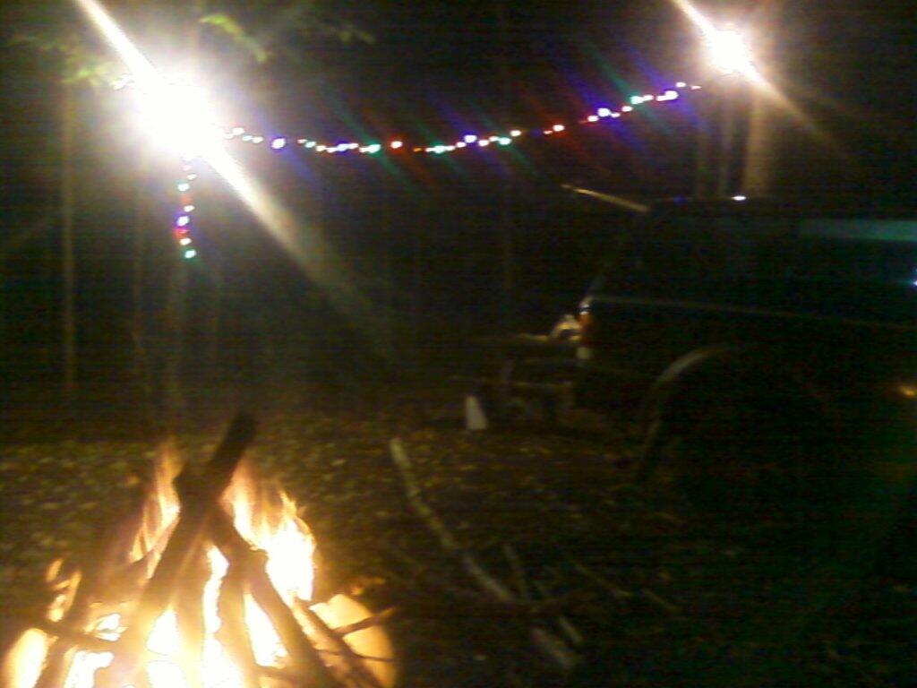
Black flies — there really is only one solution to them: don’t be hanging out until they are gone for the night. That means waiting for darkness to come over the land. Then the party can get started.
Black flies aren’t out all night. So that’s the best time to up and own doing things. Like cooking dinner, drinking beer, and hanging out by the campfire. There is nothing wrong with staying up all night during black fly season, because the days really aren’t that wonderful, if you don’t like getting eaten alive.
Granted, in the darkness, you are somewhat restricted in what you can do. But bring a flashlight, and hell, maybe a bunch of Christmas lights, party lights, and big bright 100-watt equivalent florescent lights, and pretend it’s day light. It’s also cooler, and generally much nicer in then in the day time.
During black fly season, the whole purpose of the day is to be sleeping, and recovering from the hang overs of the previous night.
One of the most concerning news stories of recent weeks is our low national savings rate. Last year it was a negative 1.6%. The previous year it was negative 1%. This year’s rate is the lowest in over 70 years.
For most Americans, that’s just another financial figure that goes in one ear and out the other. For some it’s not surprising, as they know first hand the impact of our mounting debt on their finances. They know what it feels like to be beholden to the bank.
Yet, for those who have a real understanding of this figure it’s pretty scary. It means we are spending more then we have money coming in. And a lot of that debt is not going to things that are improving us or building our country. It’s one thing to be borrowing money to get an education or buy an house or pickup truck, it’s another to buying more toys then you really need.
There is a lot of evidence that we are buying more toys then we need. We are too often sold consumerism and become blind to our own means or the costs of our consumption. Indeed, the personal financial transaction is minor compared to all the stuff we are amassing as individuals.
All those material possessions had to come from somewhere. They involved the exploitation of some material whether close or far away from us. They may have or may not have brought money into the local community. More likely then not, these days, they didn’t. And then they have to go somewhere.
There is no problem with making investments into the future. Likewise, there is no problem with purchasing material goods. But we need to be reasonable at what we buy and realize that there is only so much we really need. We need to focus more on ourselves and our communities, and stop buying things.
I have often been quoted that to be brave does not mean you are stupid. That means that you should not take unnecessary risks, but fight for what is right. When there is a cause worth fighting, you must be willing to your life on the line. Freedom demands nothing less then full courage in our fight for it. To be courageous means that you fight for what is right.
Religion often talks about courage. In Christian churches during the season of Lent we talk about the story of Jesus who fought for his beliefs and ultimately was crucified by the Romans for his religion. We talk about how his suffering not only cleaned us from sin, but how our own suffering often makes us stronger as individuals. To quote Romans 5:1-5:7:
Therefore, since we have been justified through faith, we have peace with God through our Lord Jesus Christ, through whom we have gained access by faith into this grace in which we now stand. And we rejoice in the hope of the glory of God. Not only so, but we also rejoice in our sufferings, because we know that suffering produces perseverance; in perseverance, character; in character, hope. And hope does not disappoint us, because God has poured out his love into our hearts by the Holy Spirit, whom he has given us. You see, at just the right, when we where still powerless, Christ died for the ungodly. Very rarely will anyone die for a righteous man, though for a good man someone might possibly dare to die.
These words from the bible represent what courage should mean today. It should be about fighting for what is right, regardless if we can win or not. We must believe in what is right, and use peaceful political change to obtain those means. Sometimes it’s not easy or will not happen over night, but regardless it will create greater perseverance in us as individuals. As the bible states: in perseverance, character is created, and in character we get hope for a better tomorrow.
It is so important to have courage and speak against social injustice. It might mean you end up being crucified at the end of the day, but it also may mean you gain more character and hope for a better world around us. Real courage is about taking a stand, fighting for what is right, regardless of the real personal cost. Any cost ultimately is off set by gains in character. Remember, that these costs are real and that when you decide to fight that the issue must be real and substantive, and that you are not just being stupid. A courageous person will be respected by others and loved by himself forever.