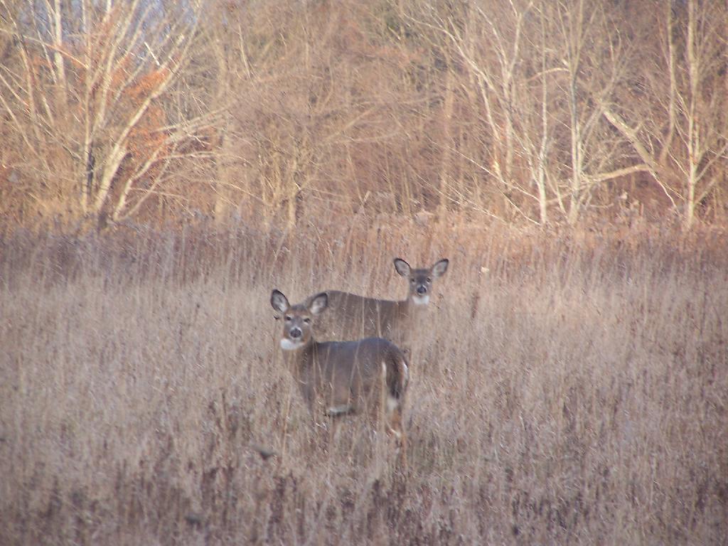
One of the things I most exciting about the Occupy Movement is their emphasis on using Public Spaces for organizing, meetings, and demostrations. Too often public spaces are neglected as gathering spaces, relegated to spaces of the unthinking passerbys.
While one can legitimately object to a single group claiming “ownership” or “occupation” of a certain place of public lands for a long period of time, one can not object to people using public spaces, in a temporary fashion to organize, meet, and protest.
Locally the Occupy Albany Movement has met in …
Governor’s Chambers on the 2nd Floor of the Capitol
The North Concourse of the Empire State Plaza
City Hall Chambers
Academy Park
Townsend Park
Most of those places have people that walk through there, but much more rare is spontaneous meetings or group discussions of issues of the day. The reality is most of these places would be dead, if not for Occupy Albany going there, having their meetings, demostrating, and making it clear to the public, that public places belong to the public — and anybody can go there, spontaneously get together, discuss politics and demostrate.
Public spaces belong the public. We, the public, should be celebrating it, and using our public spaces. While we must not let any one permentantly dominate a space, sometimes obnoxious protests and meetings are essential in upholding the notion of the public space.
There are Three Classes of Protected State Public Lands in the New York State Consitution:
Forest Preserve – Consitutionally Protected with No Land Bank
State Forests and Wildlife Management Areas – Consitutionally Protected with Land Bank
State Nature and Historic Preserve – No Consitutional Protection – Can Be Alienated By Legislature
State Forest Preserve.
The State Forest Preserve, inside of Catskill and Adirondack Parks is defined in Article XIV Section 1:
Article XIV Section 3
The lands of the state, now owned or hereafter acquired, constituting the forest preserve as now fixed by law, shall be forever kept as wild forest lands. They shall not be leased, sold or exchanged, or be taken by any corporation, public or private, nor shall the timber thereon be sold, removed or destroyed.
[exceptions not included]
This is the strictest classification of public land. No land swaps or non-forest preserve uses are permitted. Trees may not be logged except incidentially as part of maintence of these wild forest lands. This language is often seen as unflexible, and has required 10 admendments to the state consitution in the past 100 years, as no land bank is provided for in consitution.
Article XVI Section 1 Exception 3, passed in 1957, does provide for a limited “Land Bank” allowing for realignment of a limited number of miles of state highways for safety purposes, however it is very limited compared to compared the generous land bank previsions Article XIV Section 3 (State Forests).
… nor from relocating, reconstructing and maintaining a total of not more than fifty miles of existing state highways for the purpose of eliminating the hazards of dangerous curves and grades, provided a total of no more than four hundred acres of forest preserve land shall be used for such purpose and that no single relocated portion of any highway shall exceed one mile in length.
.
A lack of a land bank means even for minor non-forest preserve uses of current forest preserve lands, a consitutional admendment must be passed. This means a consitutional admendment must be drafted, passed by two successive legislatures (such as the 2011-2012 and 2013-2014 sessions) and signed into law twice, then approved by a majority of the state’s voters in a general election.A powerline cutting off 1/3rd of an acre of forest preserve, would require this expensive and lengthy procedure.
Wildlife Management Areas and State Reforestation Areas.
More flexible is the concept of Wildlife Management Areas (popularly known as “Public Hunting Grounds”), and State Reforestation Areas (popularly known as “State Forests”), as defined in Article XIV Section 3. These were added in the current form to the state consitution under the State Consitutional Convention of 1933.
Article XIV Section 3
1. Forest and wild life conservation are hereby declared to be policies of the state. For the purpose of carrying out such policies the legislature may appropriate moneys for the acquisition by the state of land, outside of the Adirondack and Catskill parks as now fixed by law, for the practice of forest or wild life conservation.
The prohibitions of section 1 of this article shall not apply to any lands heretofore or hereafter acquired or dedicated for such purposes within the forest preserve counties but outside of the Adirondack and Catskill parks as now fixed by law, except that such lands shall not be leased, sold or exchanged, or be taken by any corporation, public or private.
2. As to any other lands of the state, now owned or hereafter acquired, constituting the forest preserve referred to in section one of this article, but outside of the Adirondack and Catskill parks as now fixed by law, and consisting in any case of not more than one hundred contiguous acres entirely separated from any other portion of the forest preserve, the legislature may by appropriate legislation, notwithstanding the provisions of section one of this article, authorize:
(a) the dedication thereof for the practice of forest or wild life conservation; or
(b) the use thereof for public recreational or other state purposes or the sale, exchange or other disposition thereof; provided, however, that all moneys derived from the sale or other disposition of any of such lands shall be paid into a special fund of the treasury and be expended only for the acquisition of additional lands for such forest preserve within either such Adirondack or Catskill park.
All State Forests and Wildlife Management Areas are Consitutionally Protected but with a state-use land bank. Small portions of State Forests and Wildlife Management Areas (under 100 acres) may be traded for other areas of the land nearby. Alternatively, small areas of land may be sold for purchase of new Forest Preserve within the Adirondack or Catskill Parks. This allows the state the flexibility to re-route highways and build other needed state facilities, as long as the amount of public land is not reduced. The Consitution has never been admended for State Forests or Wildlife Management Areas.
While one could argue that the Adirondack and Catskill Forest Preserve should include similiar flexibility, not including a land bank for Forest Preserve means that large parcels are ensured never to be subdivided by roads, power lines, or other troublesome breaks of wilderness.
The important thing to note is that State Forests and Wildlife Management Areas can not be alienated in whole without a Consitutional Admendment. There will never be a net decrease in State Forest and Wildlife Management lands outside of the Forest Preserve, even if boundaries may change slightly due to public needs. To change State Forest and Wildlife Management Area boundaries, such as for re-routing of a state highway or constructing of a state facility, a bill of alienation with a home rule message must pass to successive legislatures, however no consitutional admendment is required as long as the bill of alienation involves less then 100 acres.
State Nature and Historic Preserve.
The State Nature and Historic Preserve came out of the New York State Consitutional Convention of 1967. It was approved by the People of New York State in the General Election of November 1969. It finally gave public parks limited consitutional protection, at least those parks maintained by the State of New York, and officially designated as “State Nature and Historic Preserve”.
Article XIV Section 4 (relevant sections)
… The legislature shall further provide for the acquisition of lands and waters, including improvements thereon and any interest therein, outside the forest preserve counties, and the dedication of properties so acquired or now owned, which because of their natural beauty, wilderness character, or geological, ecological or historical significance, shall be preserved and administered for the use and enjoyment of the people.
Properties so dedicated shall constitute the state nature and historical preserve and they shall not be taken or otherwise disposed of except by law enacted by two successive regular sessions of the legislature.
The State Nature and Historic Preserve was a good concept. Yet, before passage, it was well established in Case and Statutory Law under the Alienation Doctrine and clarified through 50 years of case law, most notably Williams v. Gallatin (229 N.Y. 248, 253). It didn’t make any real changes to the policy of state, and left land vunerable to alienation by two sucessive the state legislatures. Traditionally the State legislature has been resistant to abuse the Alienation Power, usually deferring to the opinion of local environmental groups, and acting consitent to statutory law. Most alienations exist as a land swaps and generally involve a de minis amount of land. Yet, that is no guarantee for the future.
Strengthen the State Nature and Historic Preserve.
The State Nature and Historic Preserve should be strenghtened to have the consitutional protections afforded to State Forests and Wildlife Mangement Areas. There should be a consitutional bar for all large alienations, e.g. those larger then 100 acres. Large scale alienations of all public lands should require a consitituional admendment, not just those designated Forest Preserve, State Forest, or Wildlife Management Area.
Moreover, the DEC and the Office of Parks and Historic Preserve, should be compelled to add all lands it owns and maintains to the State Nature and Historic Preserve. Right now, it is not viewed as priority for most state agencies, as the State Nature and Historic Preserve offers no additional protections over the traditional parks.
All figures are in acres except where noted. Table updated April 2011. Reprinted from the DEC Website.
Land Classification
Region
1
Region
2
Region
3
Region
4
Region
5
Region
6
Region
7
Region
8
Region
9
Catskill
Park Total
Adirondack
Park Total
State
Total
Percent of Total
State Land and
Conservation
Easements
State Forest
16,056
758
31,763
102,248
58,354
221,924
200,419
55,581
99,121
–
16,264 **
786,224
17%
Forest
Preserve
Wilderness
–
–
89,352
53,482
954,601
206,151
–
–
–
142,834
1,160,752
1,303,586
28%
Wild Forest
–
–
75,588
60,368
938,664 **
367,123
–
–
–
135,956
1,305,787
1,441,743
31%
Primitive
–
–
–
–
31,309
15,704
–
–
–
–
47,013
47,013
1%
Primitive Bicycle
Corridor
–
–
15
283
–
–
–
–
–
298
–
298
0.006%
Canoe
–
–
–
–
18,989
–
–
–
–
–
18,989
18,989
0.4%
Intensive Use
–
–
4,104
1,542
21,591
1,828
–
–
–
5,646
23,419
29,065
0.6%
Administrative
–
–
392
0 ***
384
7
–
–
–
392
391
783
0.02%
Historic
–
–
–
–
531
–
–
–
–
–
531
531
0.01%
Pending
Classification
–
–
–
–
259
111
–
–
–
–
370
370
0.007%
Under Water*
(Unclassified)
–
–
–
–
17,395
6,534
–
–
–
–
23,929
23,929
0.5%
Detached
Parcel
–
–
1,382
4,141
1,441
4,318
–
–
–
–
–
11,282
0.2%
Total Forest Preserve
–
–
170,833
119,816
2,001,313
601,776
–
–
–
285,126
2,597,267
2,893,738
61%
Wildlife Management Area
6,007
–
12,021
18,518
6,524 **
46,371
49,562
41,462
17,178
407 ***
2,755 **
197,643
4%
Conservation Easement
108
21
7,264
7,286
488,463
336,783
436
–
10
9,437
769,579
840,371
18%
TOTALS:
22,171
779
221,881
247,868
2,554,654
1,206,854
250,417
97,043
116,309
294,970
3,385,865
4,717,976
100%
Notes from the DEC.
* Certain lake beds are considered Forest Preserve, despite some level of private ownership adjacent to the lakes. These underwater lands are not classified. For the purposes of this table, however, lakes and ponds that are completely surrounded by Forest Preserve have been classified the same as the adjacent land.
** Where State Forests and Wildlife Management Areas exist within the Adirondack Park, the Adirondack Park State Land Master Plan also classifies these lands as Wild Forest. However, since these lands are not Forest Preserve, State Forest and Wildlife Management Area acreages within the Adirondack Park were NOT included in the Wild Forest category.
*** Where Wildlife Management Areas exist within the Catskill Park, the Catskill Park State Land Master Plan also classifies these lands as Administrative. For calculation purposes in this table, however, Wildlife Management Area acreage within the Catskill Park was NOT also included in the Administrative category.
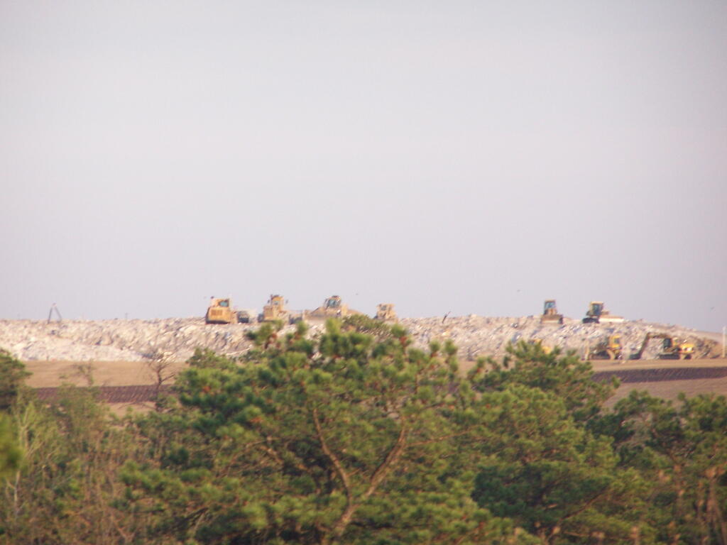
The Albany Pine Bush Preserve as seen from the Frontage Road on Washington Avenue …
And view from the Overlook Dune…
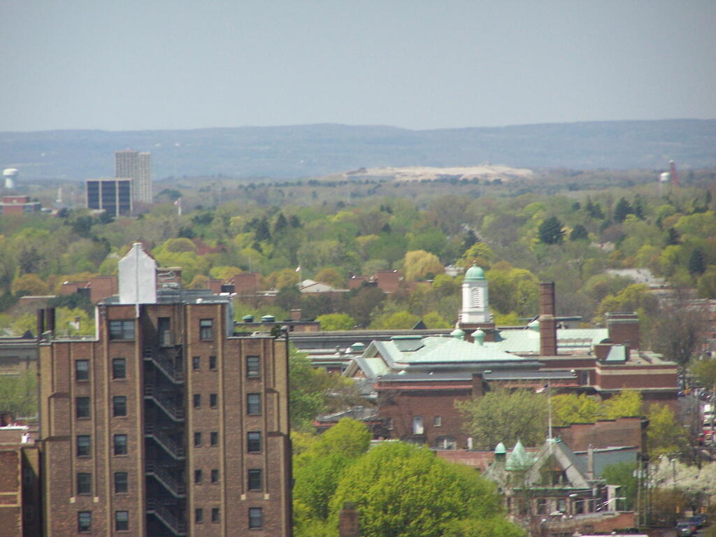
And the Albany Pine Bush Preserve from the Alfred E Smith Building Observation Deck …
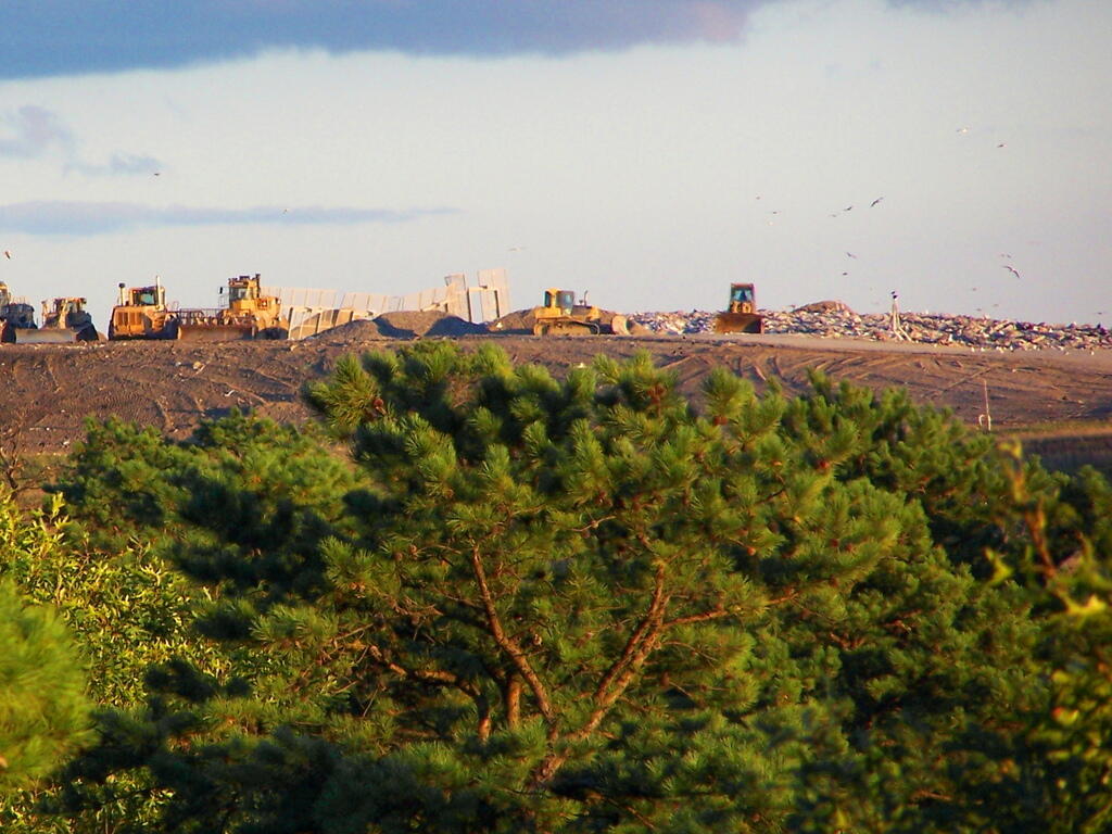
Walking in the preserve, I noticed the Albany Pine Bush Commission’s dumper, very full, and very full of recycables.
Exploring the dumpster, I found it full of junk mail, office paper, and plenty of other recycables …
The more you dug around there, the more aluminum cans and office paper you found in the dumpster.
And even more recycable trash …
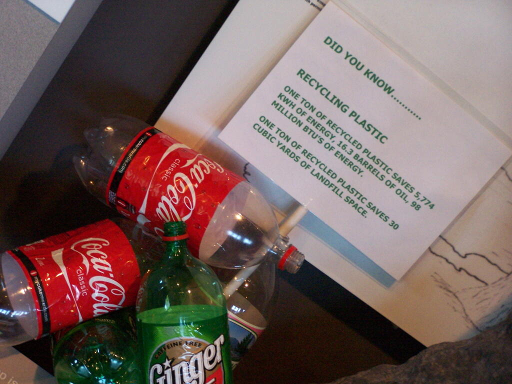
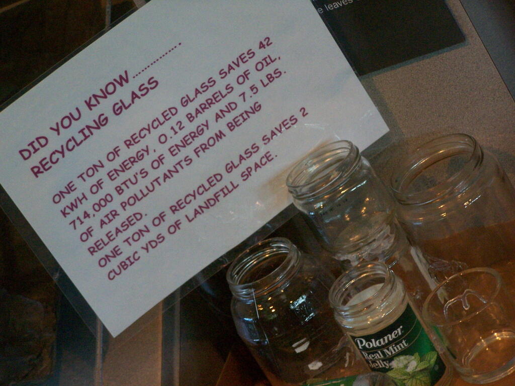
… so if the Albany Pine Bush Commission is such a green organization, then why don’t they recycle paper, tin cans, magazines, junkmail, and so many other recycables ?
..here’s Some Tip “Green” Sheets for the Albany Pine Bush Commission, brought to you by the New York State Power Authority Recycling Exhibit.
Probably the number one thing I forget to pack when fall, winter, and spring camping (and hiking) is my longjohns. I literally have like 10 pairs of longjohns, because I’ve had to go out and buy more pairs when I forget them and I’m a long ways from home.
Longjohns may seem silly. But they really do much to keep you warm. Yet, they aren’t something that’s normally visible to the public, and as such they are out of site and out of mind.
Yet, as soon as you get out in the woods, and start to have cold legs, you realize how nice it would be to pack your longjohns. Sure, one can get another cheap pair of cotton longjohns at any Walmart, but one would be better of it they just remembered to pack longjohns from the get go.
It’s always a good idea not to forget your longjohns!
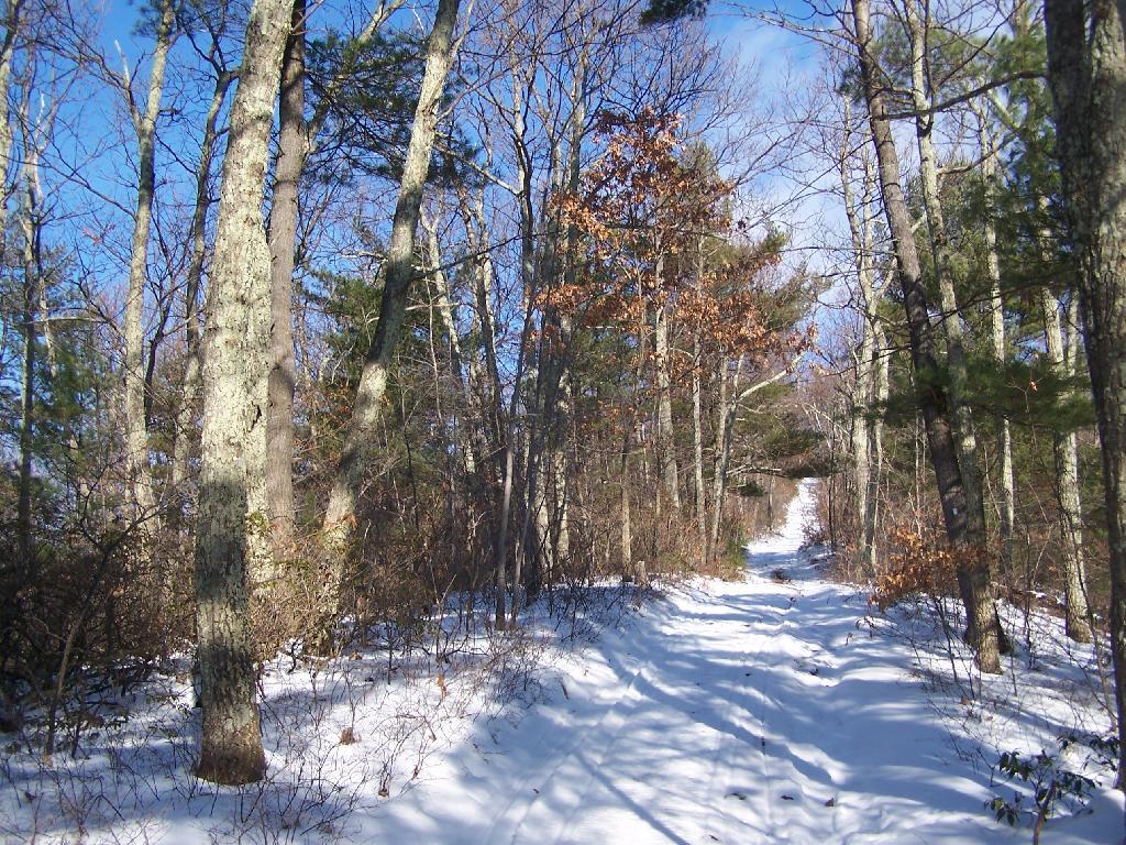
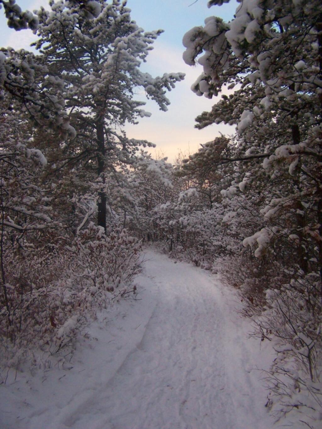
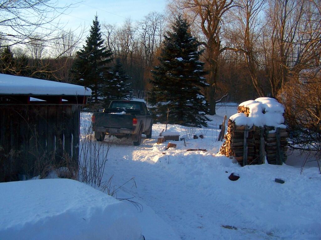
After a fresh snow fall it was a winter wonderland in the Albany Pine Barriens, a forever wild ecosystem on the outskirts of the city. It felt like one was walking through a marshmallow forest.
A cold winters day at my parents house in late January, after a long cold spell that never seemed to want to end.
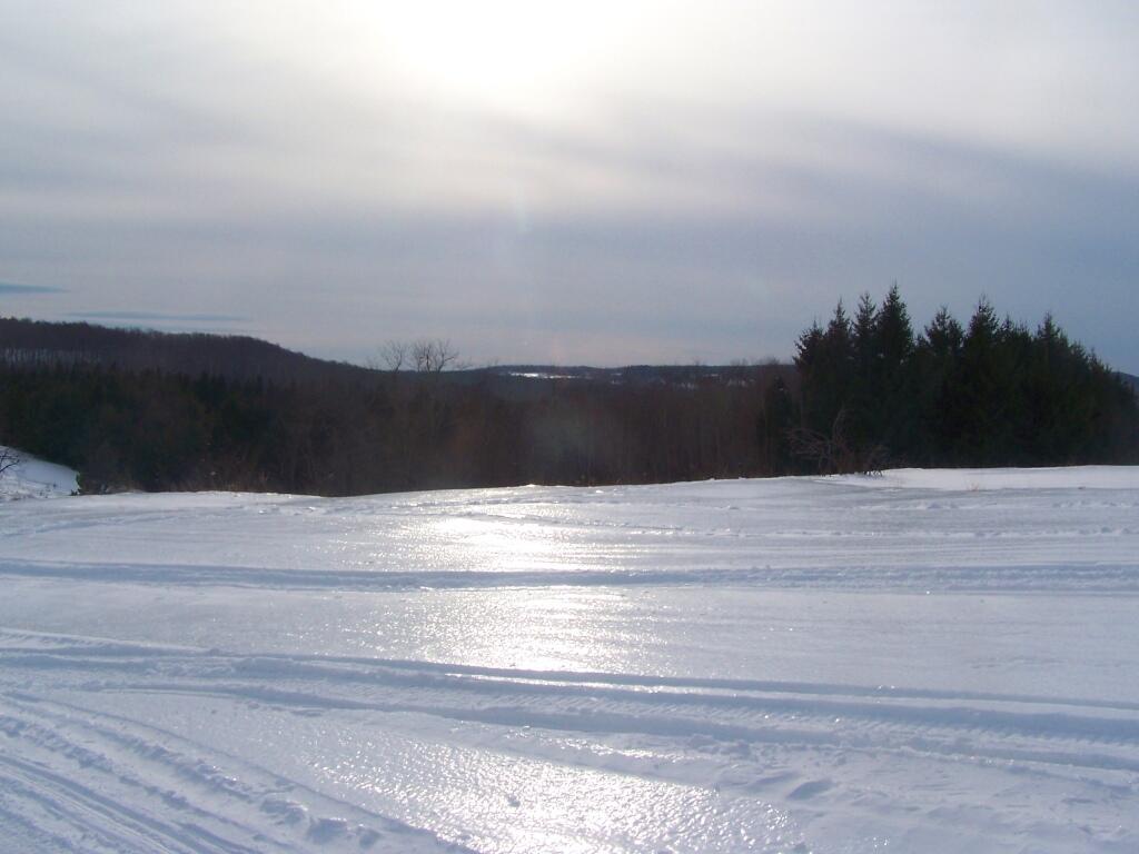
February.
A icy sheen shown on the snow at Partridge Run, as I went for an afternoon walk with the dogs up there in the middle of the month.
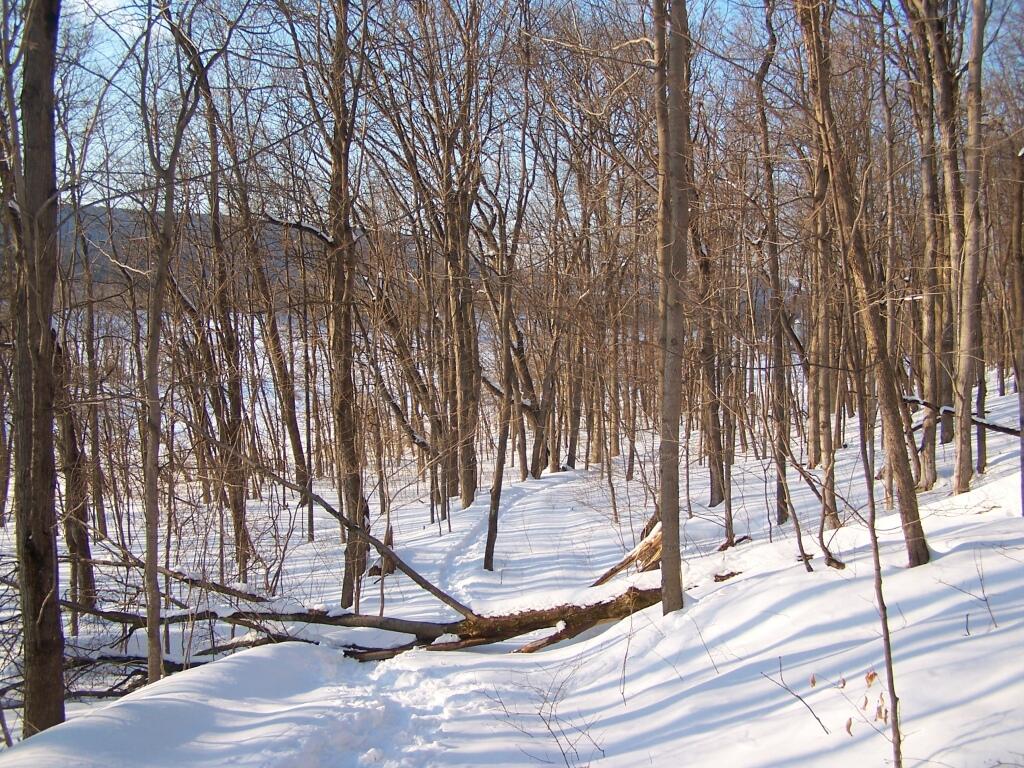
Snowshoeing back down Bennett Hill in late February.
March.
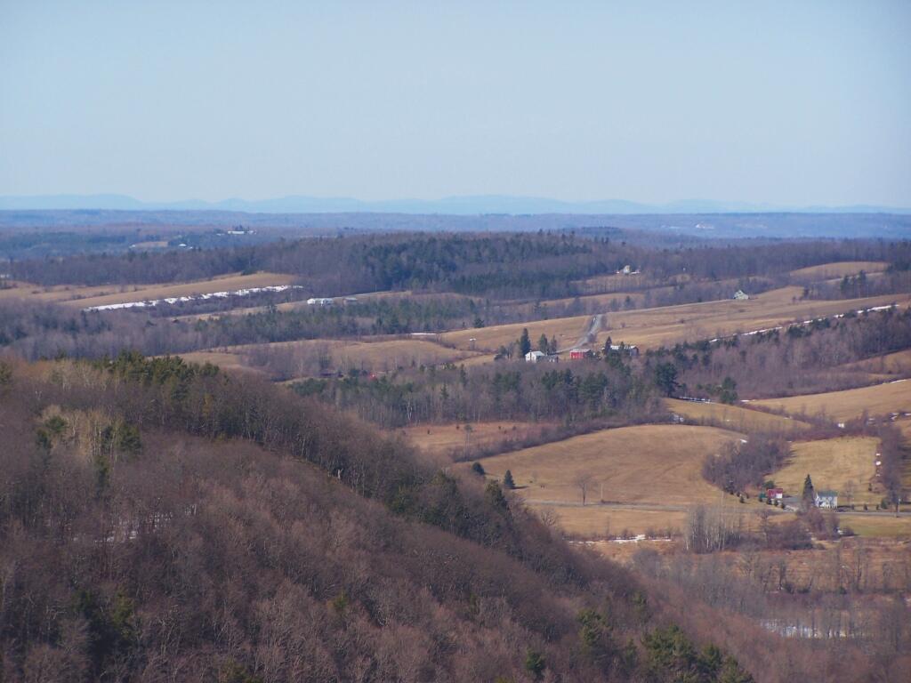
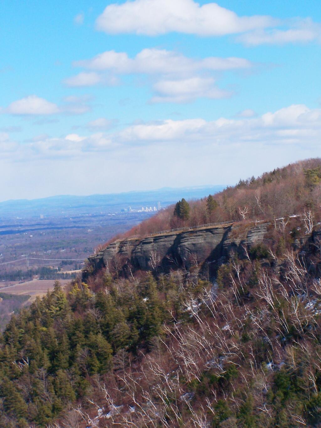
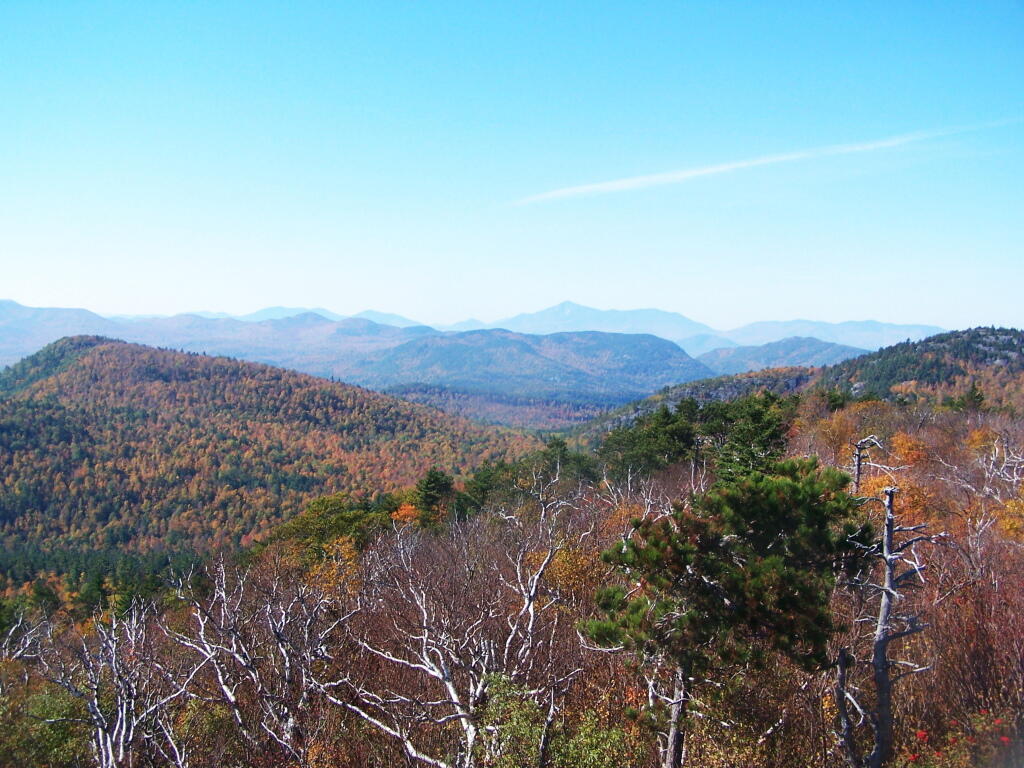
A recently logged section of Cole Hill provided breath-taking views of Irish Hill and the Fox Kill Valley down in Berne.
What a clear spring day up at Horseshoe Clove at Thacher Park. Warmer, nicer days can’t be far way.
April.
April 9th was the first day I got out camping in 2011. Spent the day exploring Rogers Environmental Center, camped at Moscow Hill Horse Assembly Area.
It may start to warm up earlier in lower elevations, but winter is still very much a force in late April in the Adirondacks. The East Sacanadaga River on this morning looks icy and cold.
May.
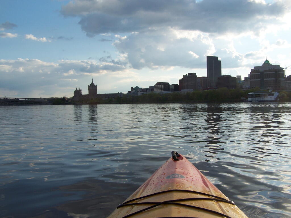
There’s Albany! From my kayak. I kayaked up to Downtown Troy from the Corning Preserve.
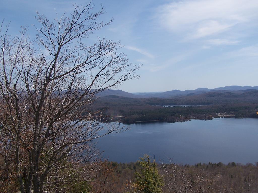
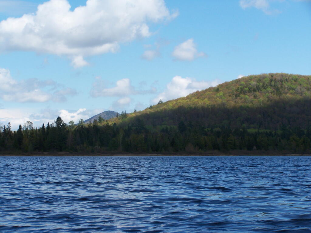
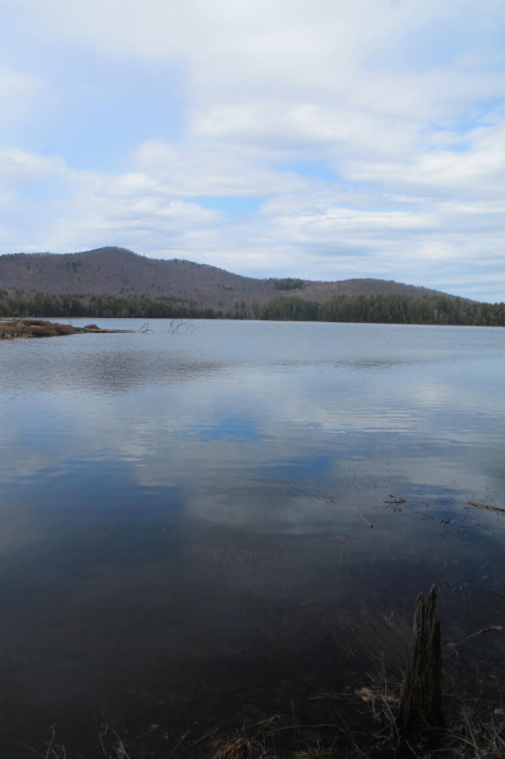
Spring finally comes to Adirondacks by late May. Paddling around Cheney Pond, looking towards Sand Mountain in the distance, on the other side of Hoffman Notch.
June.
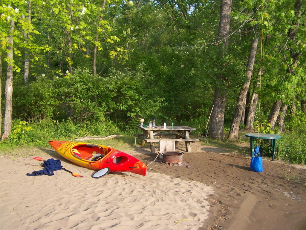
Kayak camping on Stockmans Island in the middle of the Hudson River. What an adventure, one I picked on a night when they had fireworks up at the Coxscake Town Park.
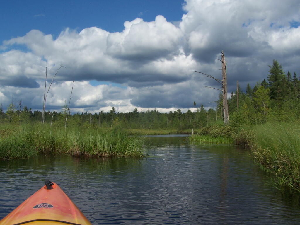
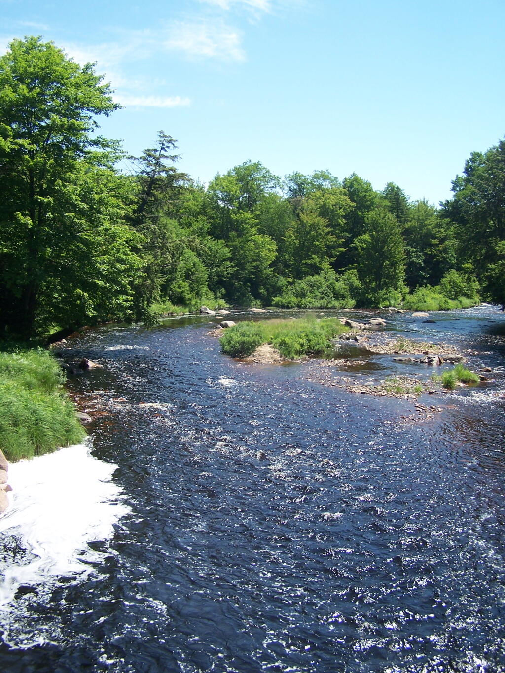
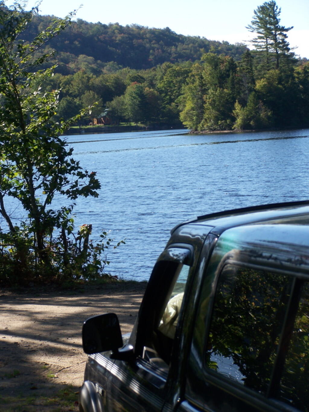
Oswegatchie River up in Watson’s Triangle in Adirondacks. There are few places as remote as this that you can drive on largely unmarked and rarely traversed back country roads. Watson’s Triangle is a place far of the beaten path.
July.
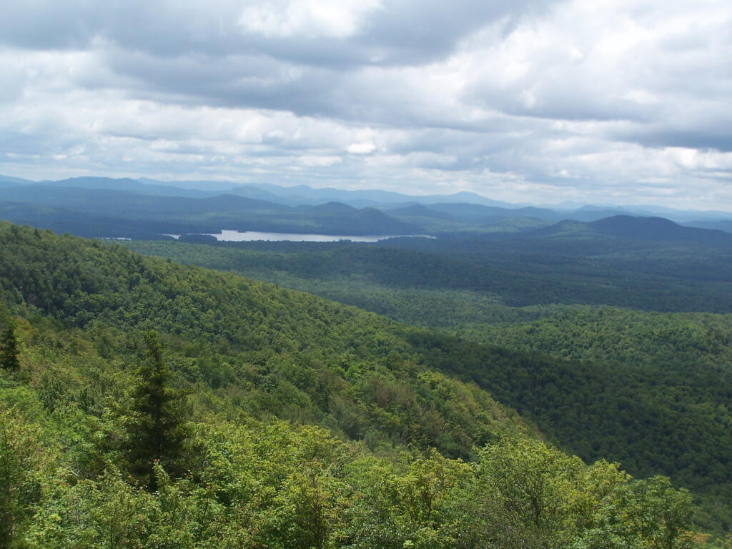
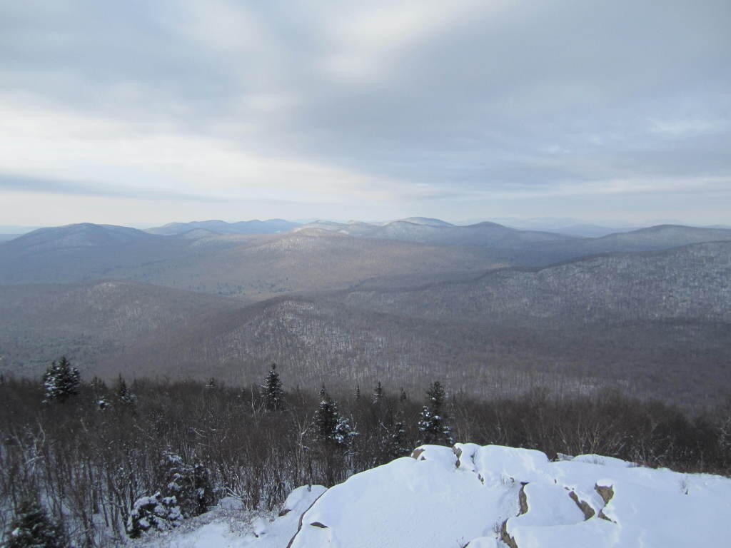
A dramatically cloudy day, looking down towards Tupper Lake from Mount Arab.
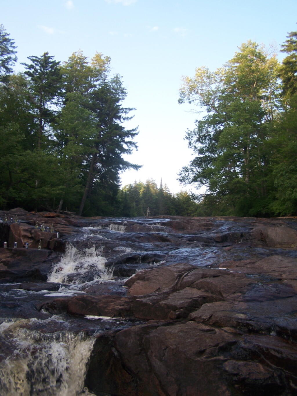
Cooling off at the Potholers on an oppressively humid summer’s day.
August.
Exploring Beaver Creek at the Brookfield Railroad State Forest in Brookfield, NY.
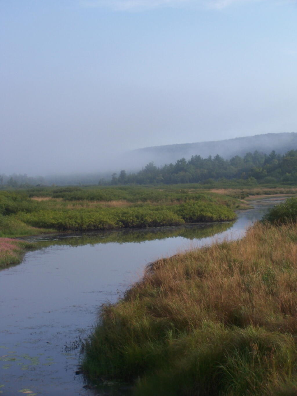
Watching the fog burn off Beaver Creek at Brookfield Railroad State Forest on a summer morning..
September.
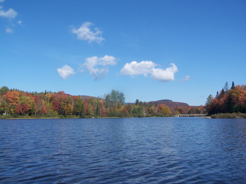
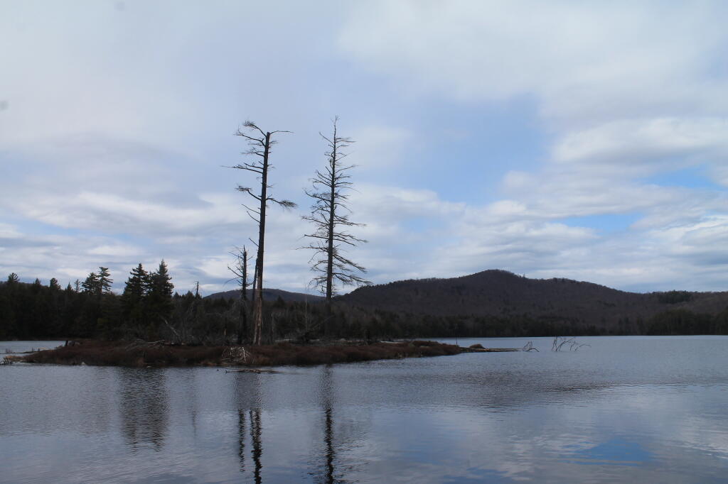
A beautiful late summer morning at North Lake in Adirondacks. North Lake is such a jewel, especially as you head farther north on the largely undeveloped portion of the lake.
Fall was well underway, and even past peak at Moose River Plains by September 20th.
October.
Second week of October, I went up to the North Country for some leaf peeping, hiking, and kayaking. The colors may be faded in Central Adirondacks, but still were good in lower elevation parts of the Northern Adirondacks.
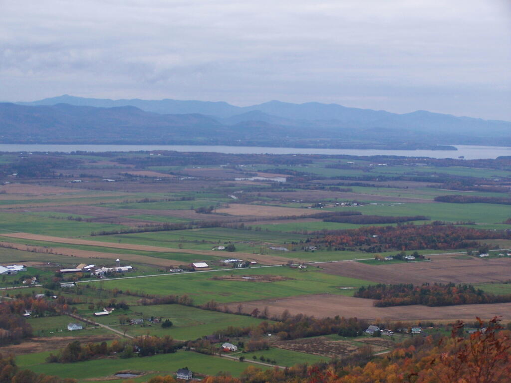
And later in October, I drove up to Snake Mountain in Vermont, overlooking the Champlain Valley and the Adirondacks. Colors lasted the longest
And by October 30th, we had snow, actually several inches, as seen up at Lake Taghkanic State Park.
November.
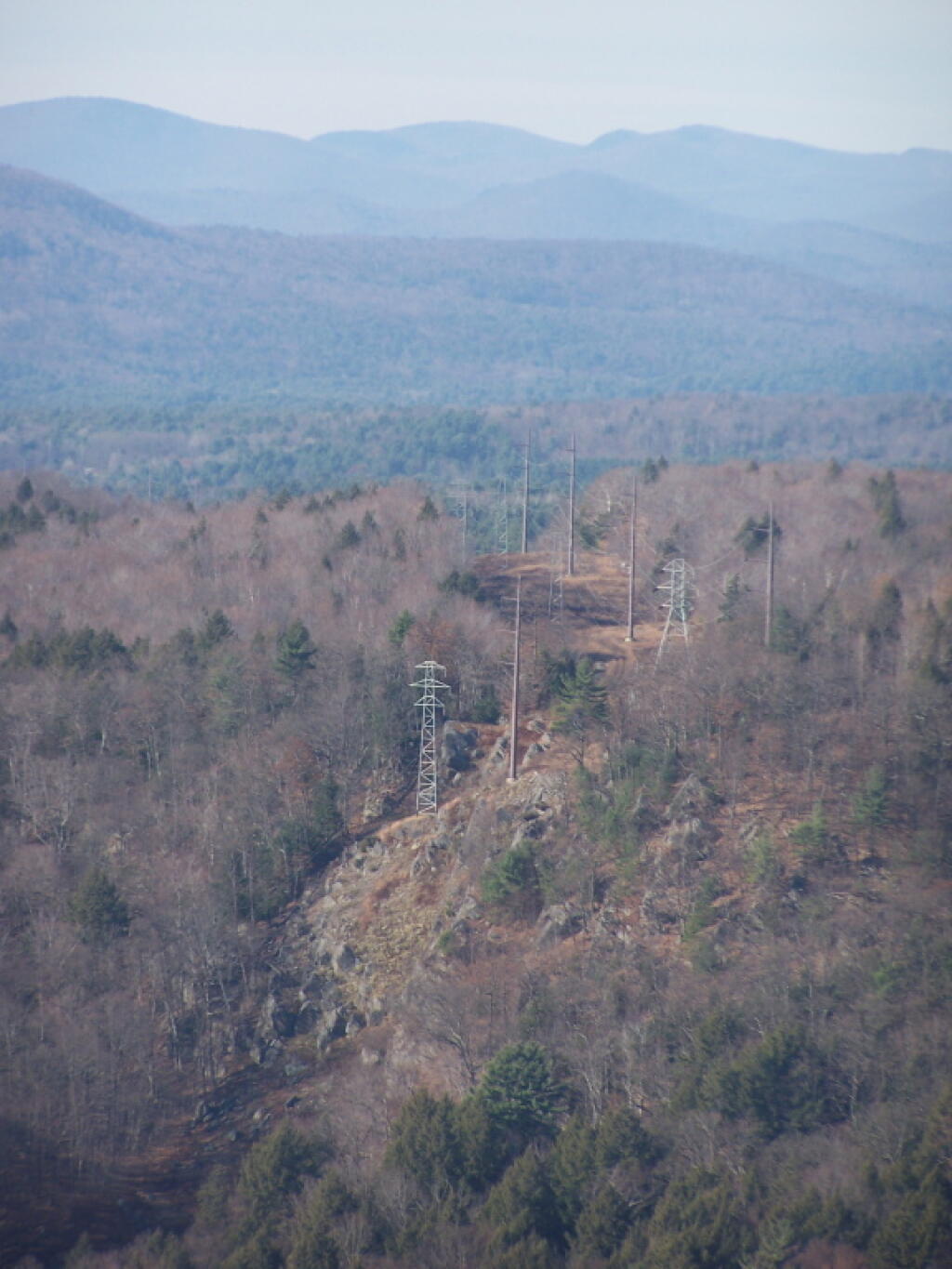
In November I visited Monreau Lake State Park for the first time, and checked out the Palmerstown Ridge above the Hudson River and Spier Falls. These power lines transfer power from Spier Falls Hydro Dam over to Corinth.
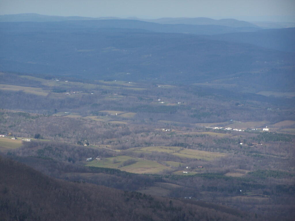
I also hiked up Windham High Peak. I hadn’t been there in many years, and it was interesting to look down at Preston Hollow and Medusa, far, far below.
December.
On Christmas Day, I hiked up Hadley Mountain. While cloudy and cold, it was very beautiful.
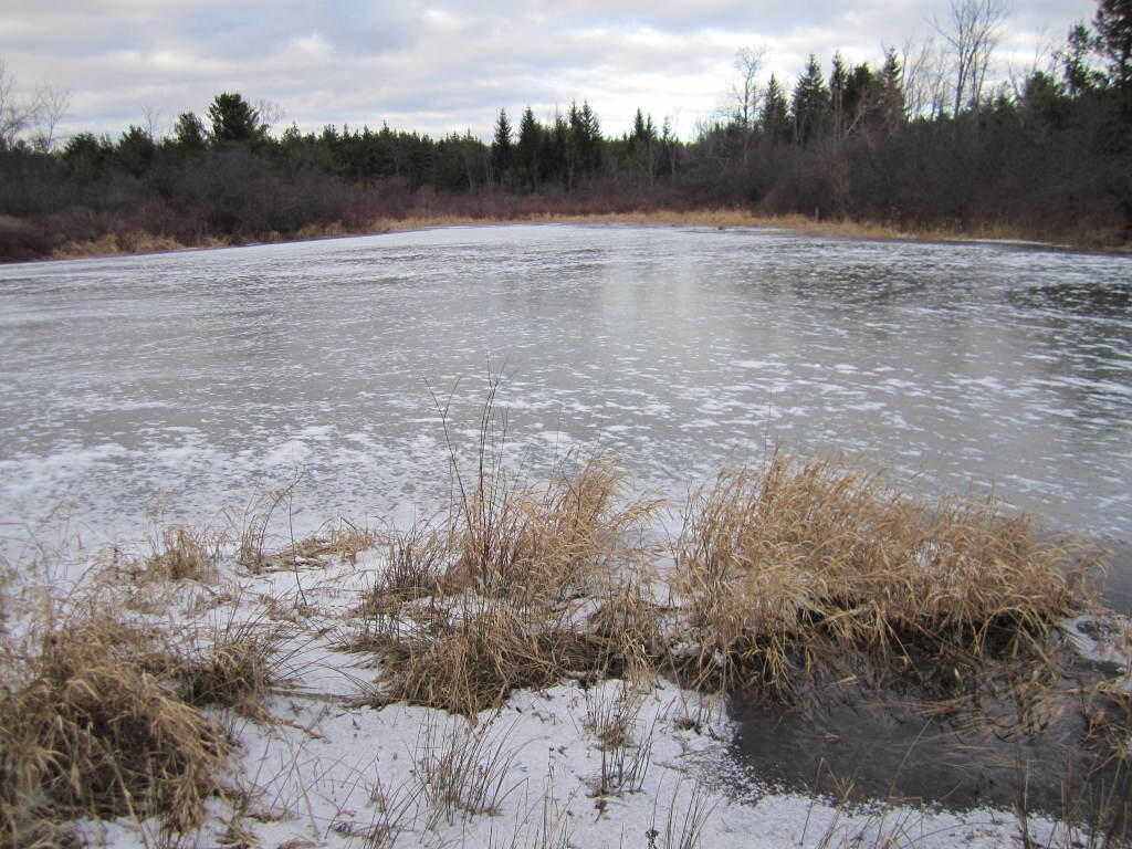
While the pond at Thacher Park was frozen, there still is very little snow locally.
For the first year of doing topographic maps, I relied extensively on using NYSDOT topographic maps, I originally downloaded from the NYSGIS consortium website. The NYSDOT topographic maps have a lot of good information on them, an in many ways have the most accurate topography.
But what I’ve also found with those maps is they have several real limitations…
1) They Don’t Scale Well.
NYSDOT topographic maps are designed to viewed at 1:2400 feet ratio, as they are 7.5″ quads. You can get away with rendering them anywhere between 1:1800 to 1:2600, but beyond that the text looks too small, too crowded, or two pixelated. For smaller parks and larger areas, NYSDOT topographic maps do not work well.
2) Unneeded Information and Clutter.
DOT Topographic Maps try to suit the need of any user, and include information like town lines and other jurisdictional information that is unnecessarily for the average outdoors person.
3) Outdated Information.
Often topographic maps have dated information on man-made boundaries and buildings. The state often buys new land, demolishes existing buildings, and closes off trails. Old trails appear on topographic maps, as do labels such a “Restricted”, even though to this day such roads may be valid, despite the incorrect or outdated information on topographic maps.
4) Metric Scale; Differentiating Contour Scales.
Metric elevations are maddening for anyone trying to calculate their elevation from select DOT topo maps, and often when you load multiple topographic maps, they do not fit together seamlessly, as one will be using one unit for contours, while another will use another unit. Contour scales throughout the state very widely, which when put together can be confusing.
On the other hand, topos do have some benefits…
1) Most Accurate Shorelines.
The Census Water Area and Liner Water Shapefiles from TIGER/Line are pretty accurate, but they are not nearly as good as topographic maps.
2) Wetlands.
Currently I don’t have any good source of data or wetlands to add to my maps. I probably should do more research into this, as I know the state does have wetland maps available — but how much of a PITA are they to use?
3) Buildings.
Topographic maps have many of the buildings on them. While this information can be outdated, it does provide useful information to the viewer of such maps. TIGER/line has some features, like cemeteries and some buildings, but this data set is tiny compared to what’s on the NYSDOT topographic maps.