In the Adirondack Park there are several parcels of timberland that are so-called Conservation Easements that are privately owned and logged, but allow public use. Many of these Conservation Easements were entered into about a decade ago under the George Pataki Governorship, as an effort to increase public access to Adirondack lands but still allow timber companies to log existing Adirondack timber areas.
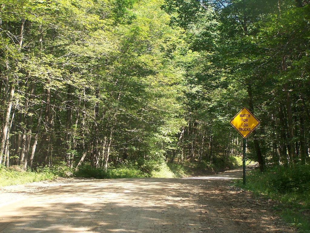
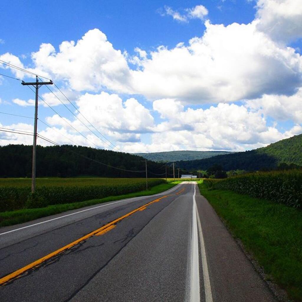
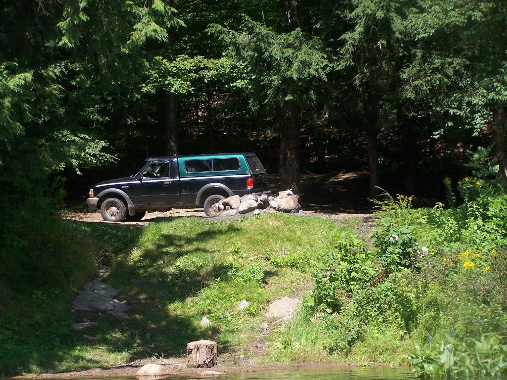
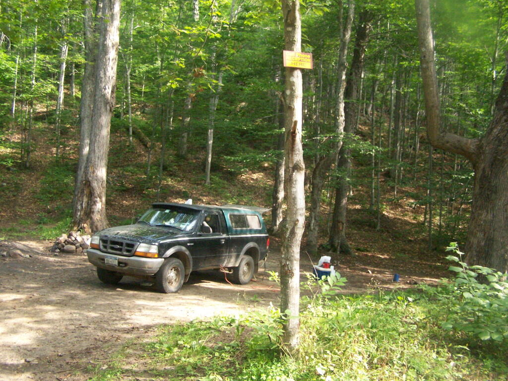
Perkins Clearing Road, an easement road in Perkins Clearing, owned by International Paper/Lyme Adirondack Timberlands, LLC
Many conservation easements:
Are actively logged by timber companies.
Allow the public to hike on and explore.
Have road-side campsites for people to camp.
Allow hunting, fishing, paddling, and public enjoyment.
Give timber companies lower taxes and better protection of their lands by regular ranger patrols.
High quality roads maintained by a unique partnership between Timber Companies and the State.
Outside of the Adirondack Park, most State Forests are regularly harvested and actively managed for timber resources by the state. Inside the Adirondack and Catskill Parks, the state constitution specifically prohibits the taking and sale of timber on public lands. Therefore, if the state wants to keep using existing timber lands for continued timber harvest, the only way they can do it is keep the timber lands privately owned, but managed by state for a public purposes of conservation and recreation alike.
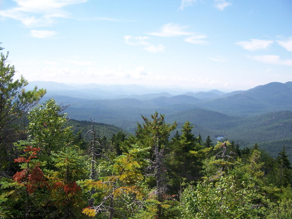
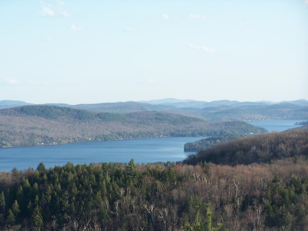
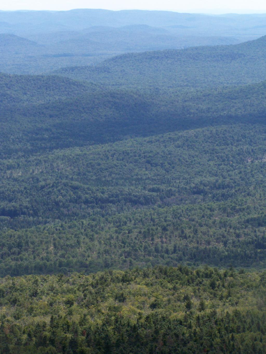
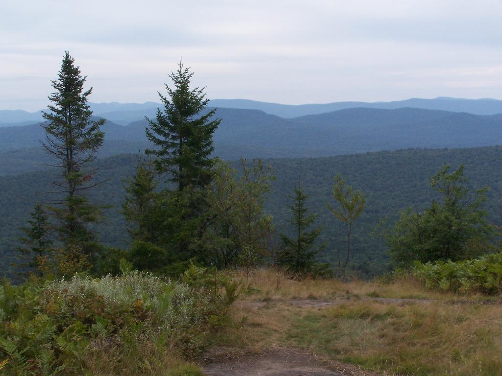
Looking at the Perkins Clearing Easement from Pillsbury Mountain.
One can argue that the forever wild provisions of the state consitution are outmoded, a byproduct of the degregation of our forest lands from the mispratices of the industrial revolution. Many of the early timber harvests tragically did not consider the impact of errosion or inappropiate clear cuts in sensitive areas. Some areas should have been off limits, but at the time our state nor did industry follow good practices. We are now stuck with the state constitution we have.
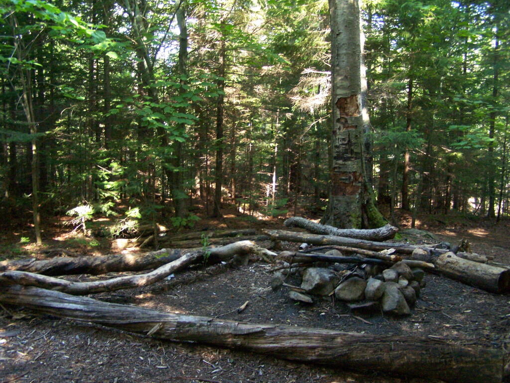
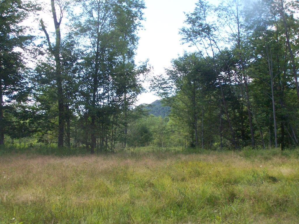
A selectively logged parcel, made into several meadows that will eventually revert back to hardwood forest and become a future timber crop.
It is good to see our state is protecting important pieces of timber land, yet also allowing economic development associated with responsible timber practices and recreational use of these parcels. Yet, it does seem like an end run of constitution’s forever wild doctrine, to have essentially public lands (although on paper privately owned), and allow timbering on them by private companies.
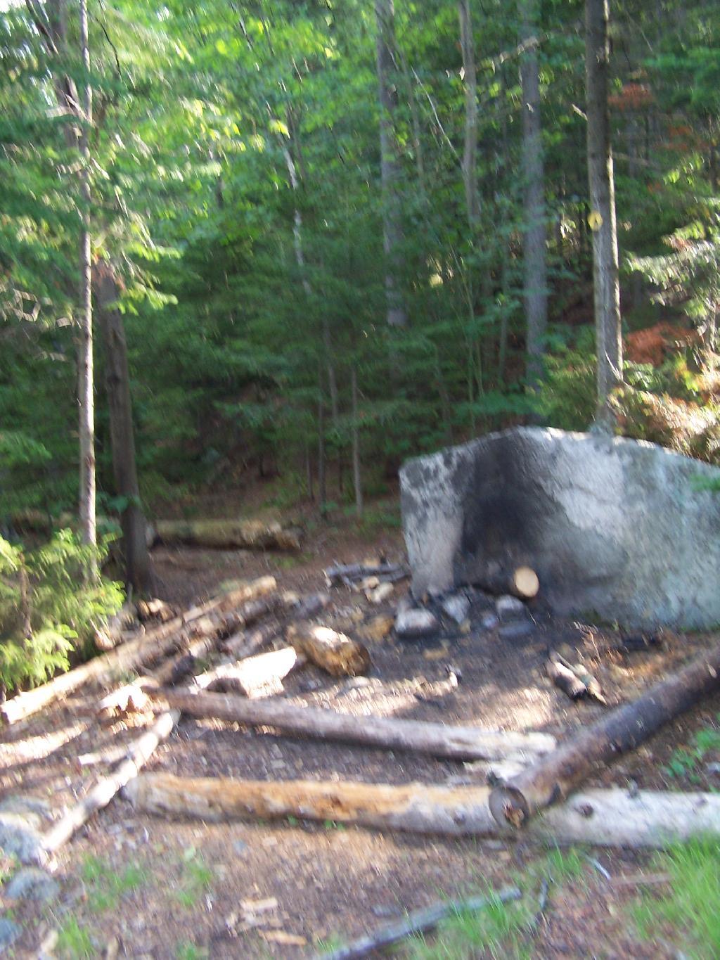
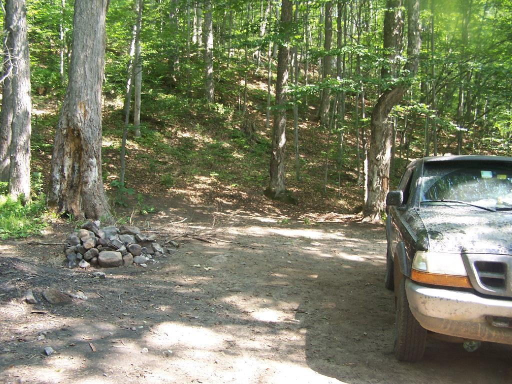
Designated Road Campsite inside of the Perkins Clearing.
It is unlikely our consitution will be amended for true public ownership of working timber parcels in Adirondacks. The high level of protection for true public lands in the Adirondack Park will continue, and while Conservation Easements might allow an end run around the consitution, they do benefit all parties — those who want the jobs and profit from logging and those who want more public lands for recreation.
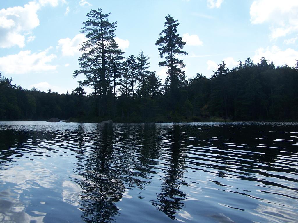
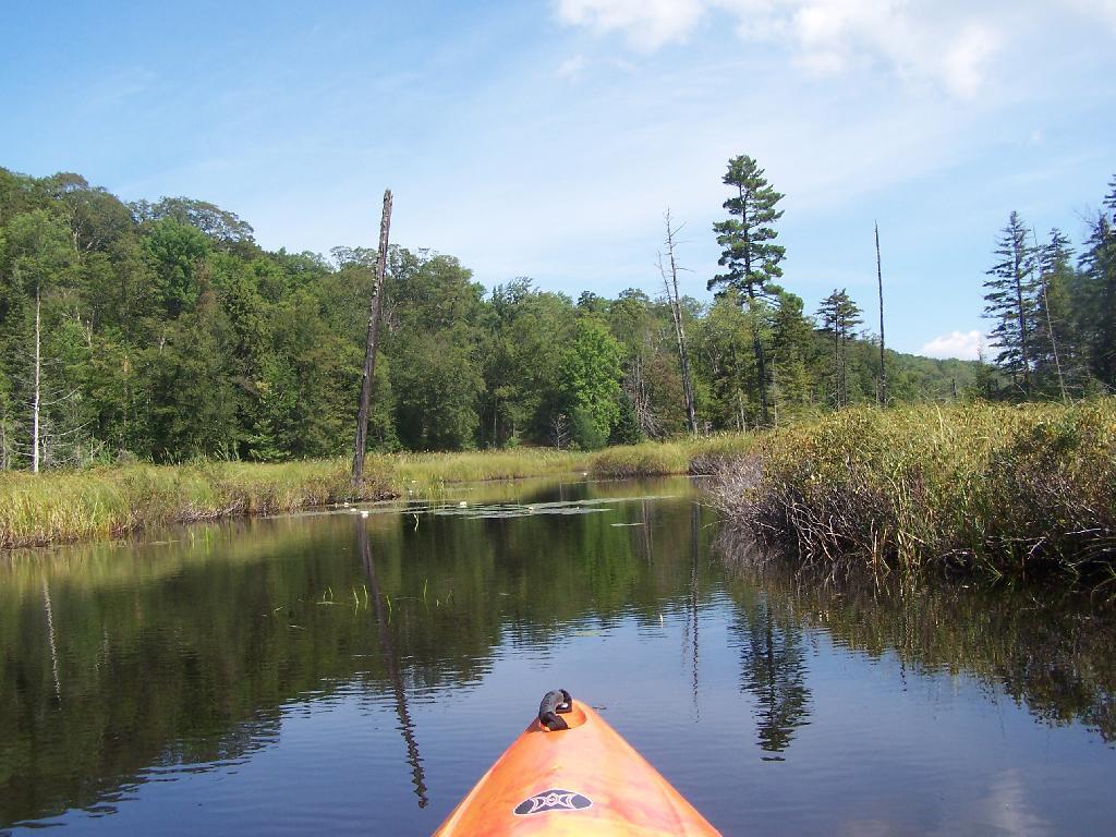
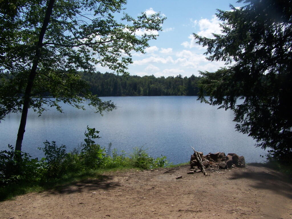
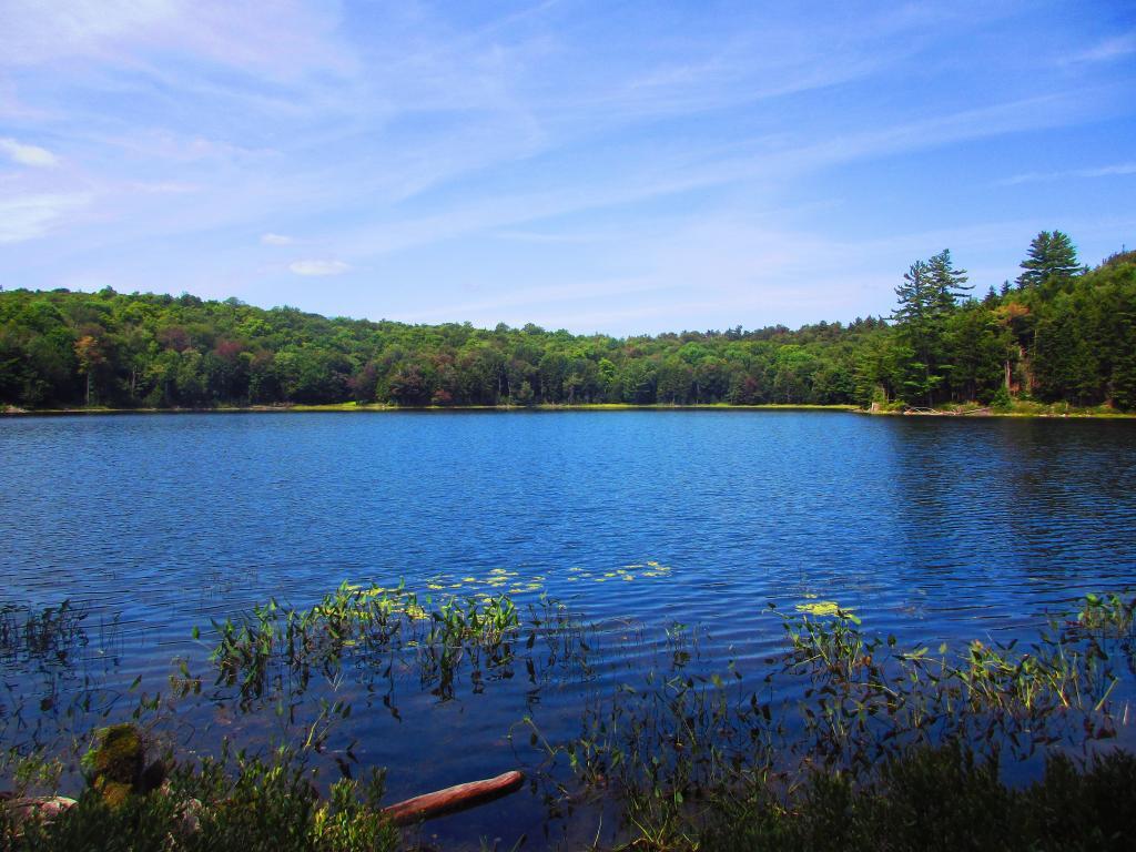
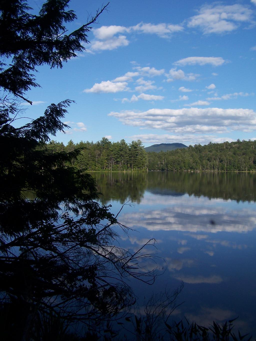
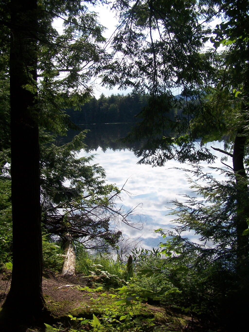
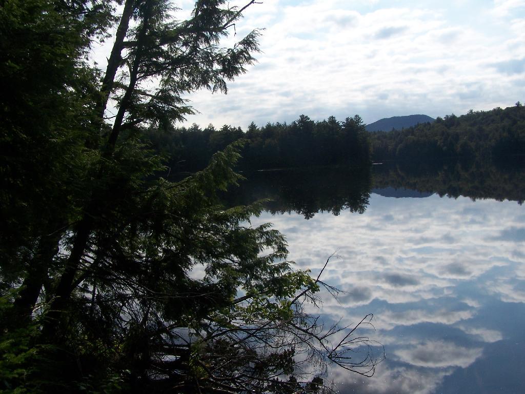
Mason Lake is located in the Adirondacks just off NY 30. It has primative camping, I camped their last night (August 10th), and also camped there on July 31.
It’s a two hour drive from Albany, so it’s not as far north as Moose River Plains, and can be done on a Friday night. It’s fairy popular, but there is usually some of the 6 out of 12 non-lake side campsites are always avaliable, and it’s not like it’s ever crowded on the lake in a boat.
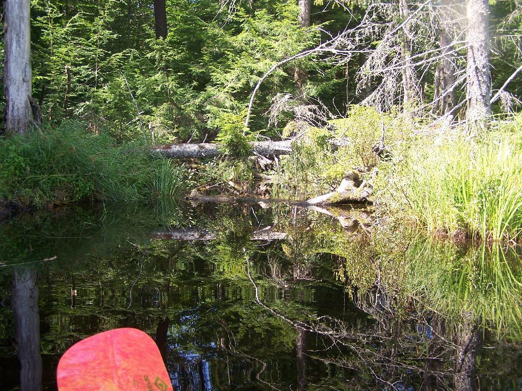
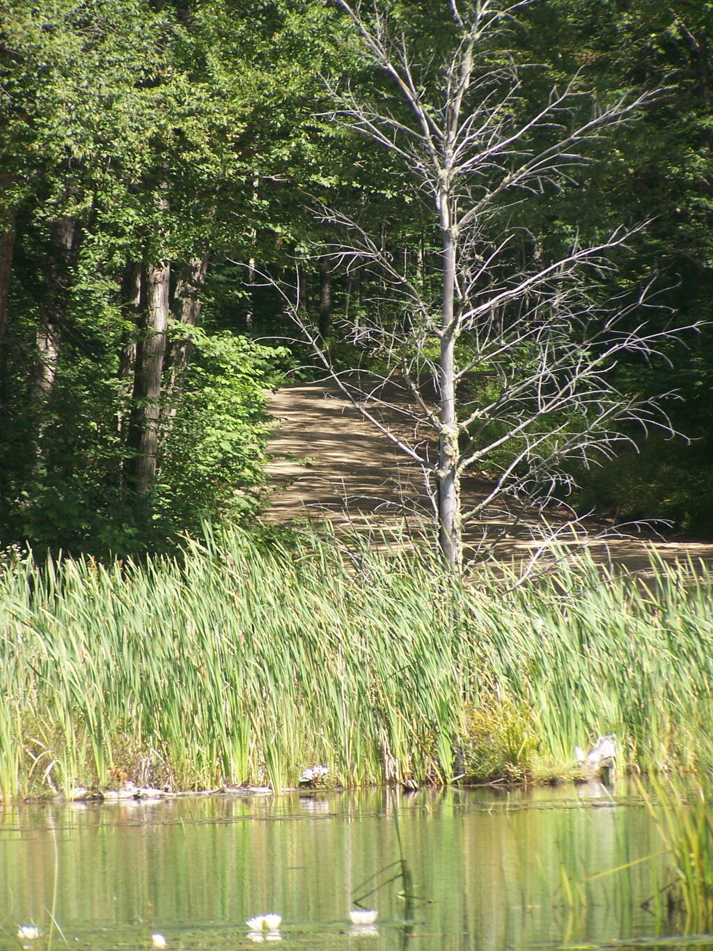
I paddled down to the southern end of the lake, with a stream exiting Mason Lake. This part of the Jessup River is unpassable by kayak due to many trees crossing on it.
It was a beautiful day at Mason Lake with puffy clouds above.
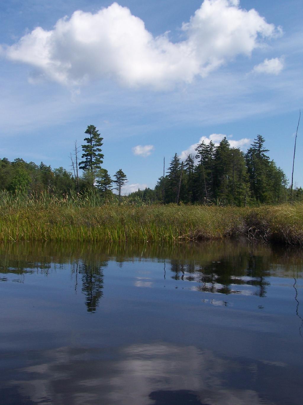
Thru Swampy End of Mason Lake. You had to watch out for trees on the bottom that you could get hung up on.
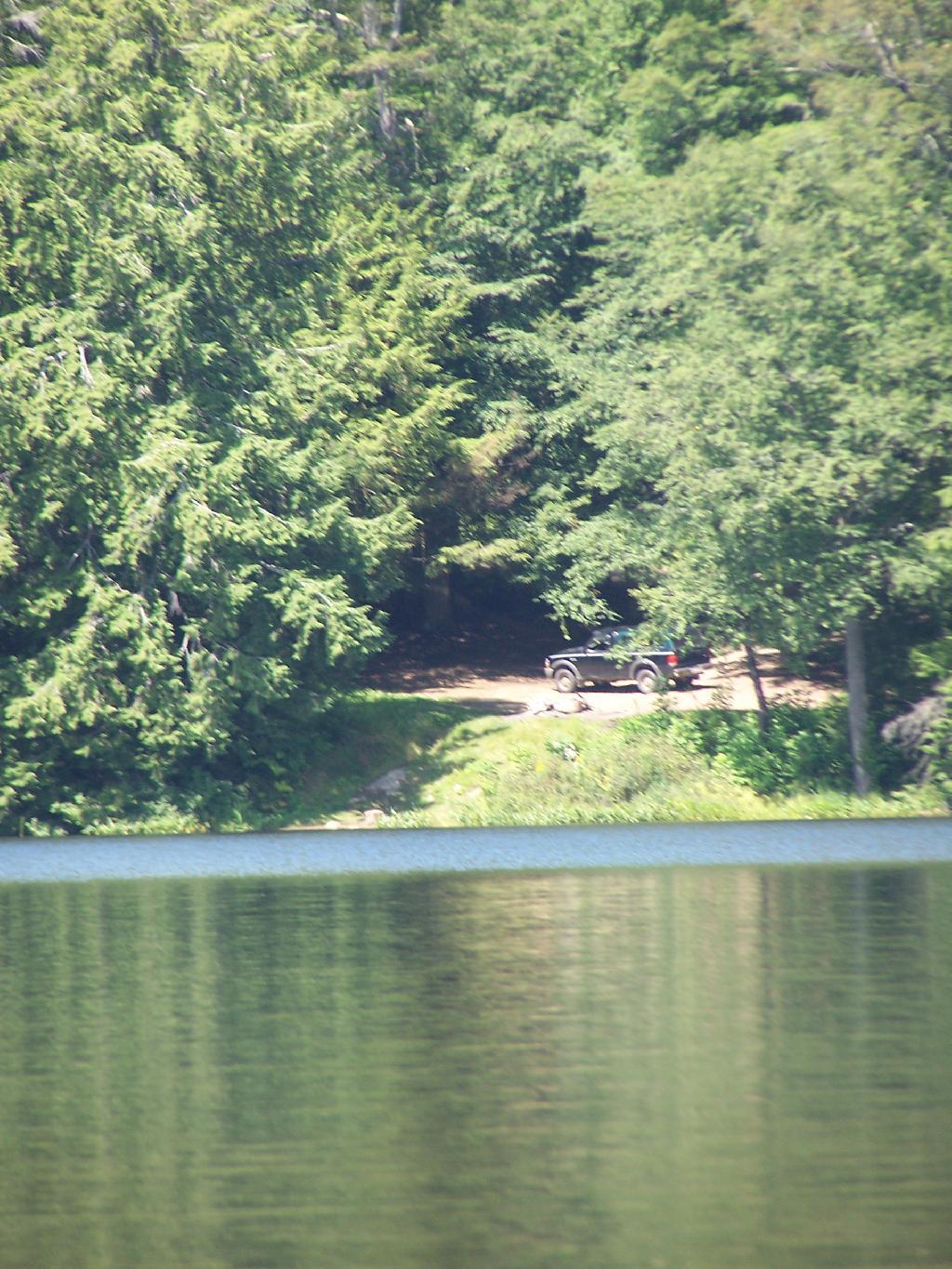
Jessup River Road. As seen from the southern end of Mason Lake paddling around.
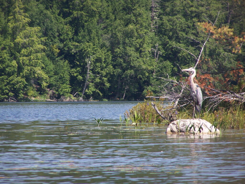
Great Blue Heron, standing tall on an Island on Mason Lake.
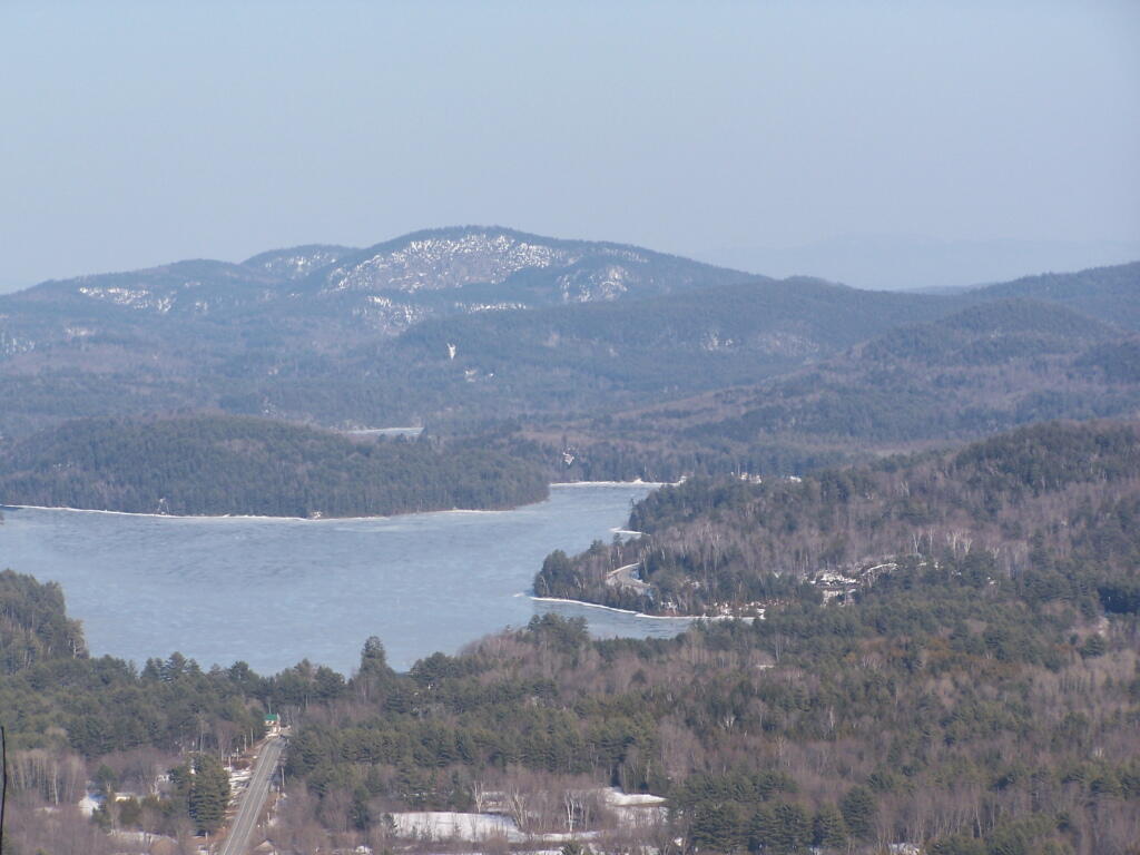
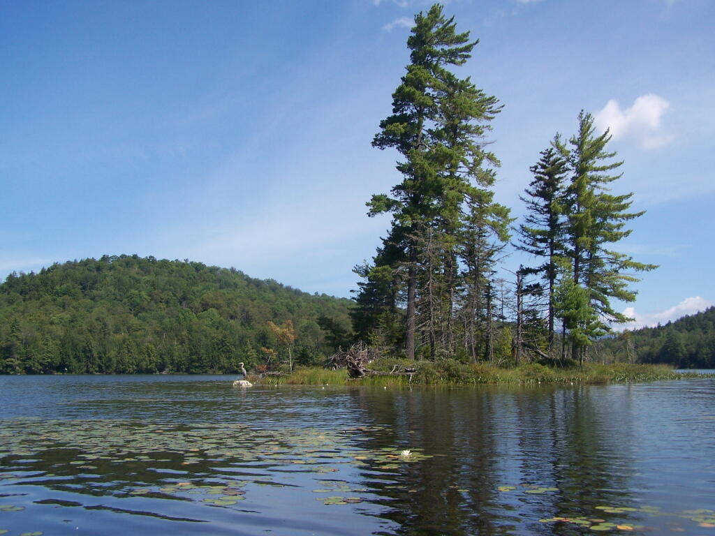
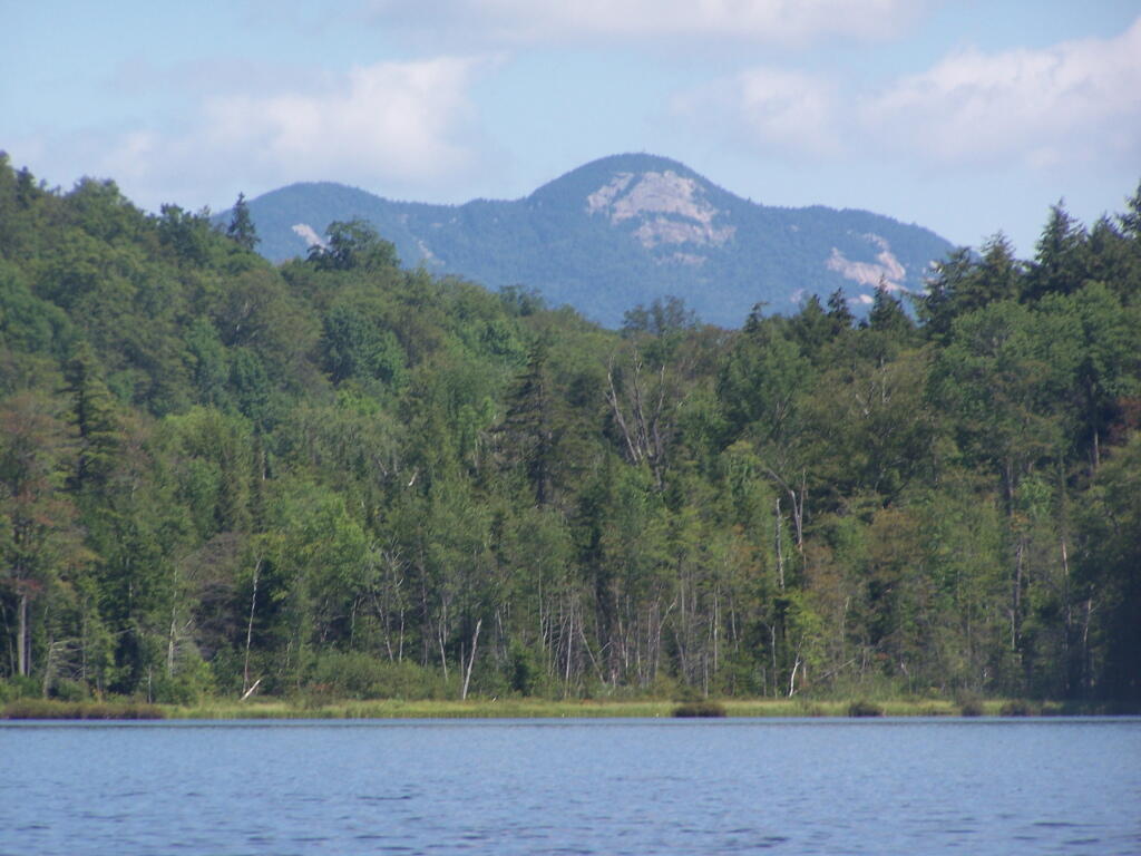
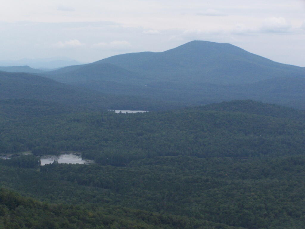
Snowy Mountain. As seen from the middle of Mason Lake.
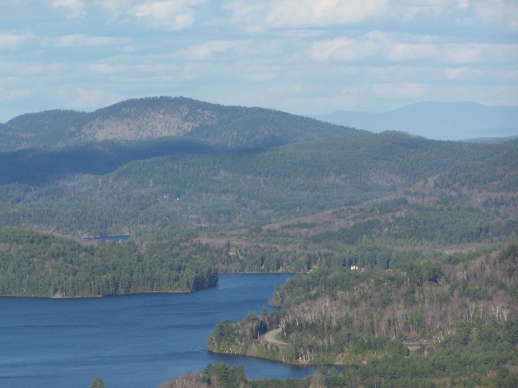
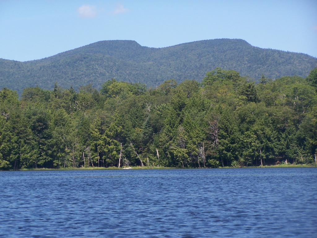
Lower Blue Ridge. As seen from Mason Pond. Beyond this ridge is Moose River Plains and Cedar River Flow.
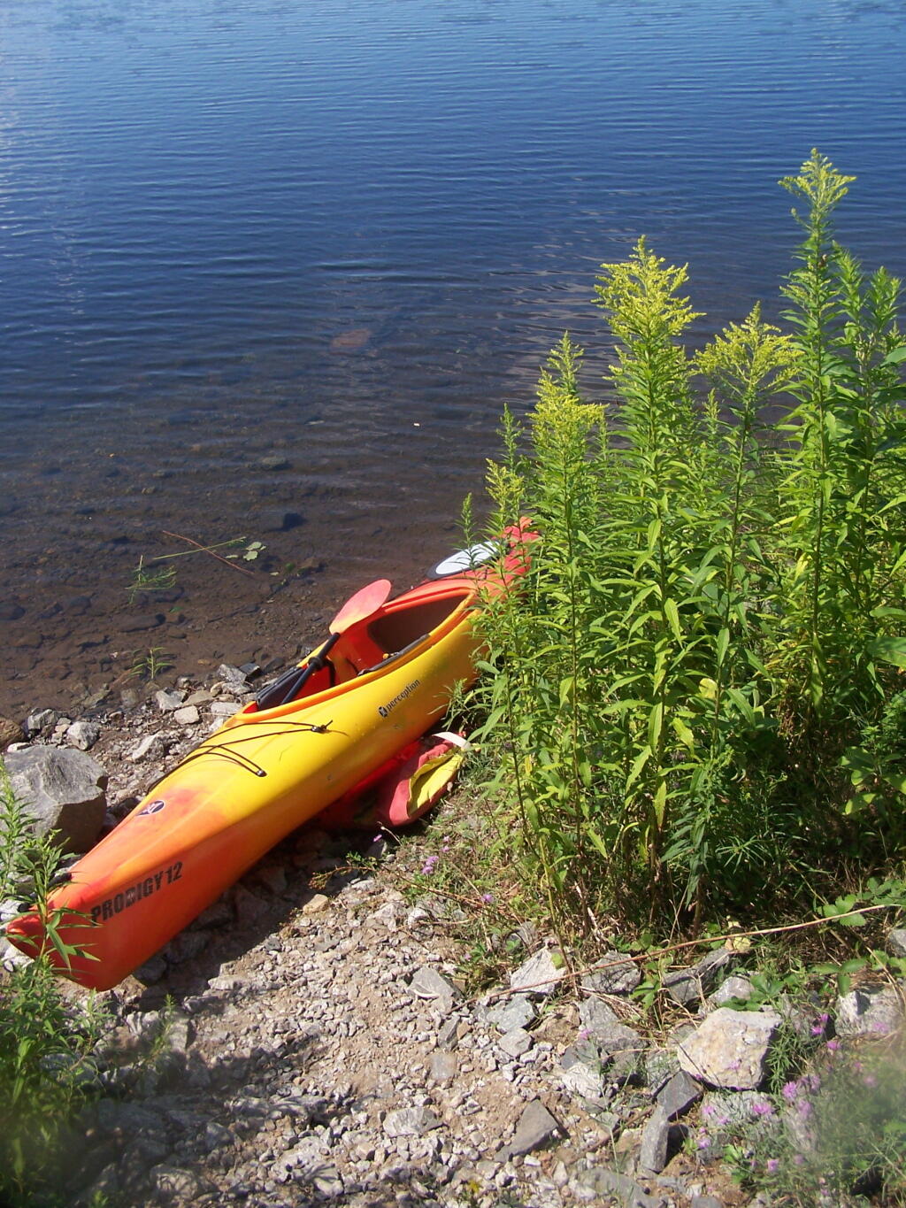
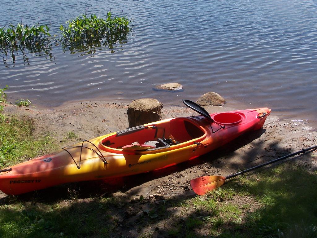
Kayak Parked at the Mason Lake Parking Area, where people pull off NY 30, totally oblivious to the camp sites across the lake.
Lakeside Campsite. This was the lake campsite at Mason Lake I camped out on Tuesday night. It was pretty nice that night, although I didn’t get any pictures, because I was dead tired after driving up two hours after work.
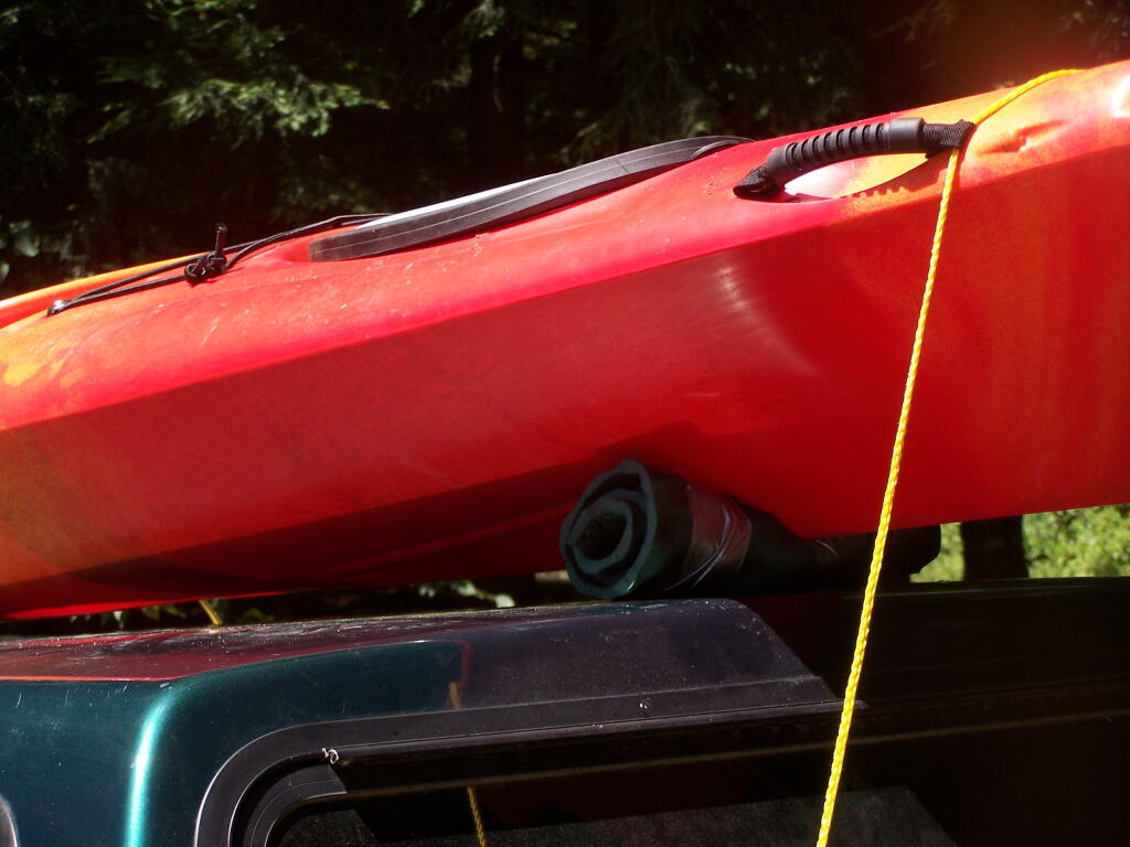
Truck’s All Packed. All I have to do now is put the kayak on the roof of my truck, and head north to Cedar River Flow for the next day of camping out.
Lake Side Parking. This by where I camped down at Mason Lake.
The campsite I stayed at with it’s views at Mason Lake. It was real nice.
Styrofoam Canoe Blocks I Made. I cut up an old styrofoam sleeping pad, rolled it up, cut notches, and duck taped it all together. It worked well, far better then trying to let the kayak ride directly on the roof of the pickup.
Here is a map of the lake. 12 Campsites are located along Jessup River Road, 3 which are RV/truck accessible with water, 3 that tent sites, and about 6 nearby the water. It’s great.
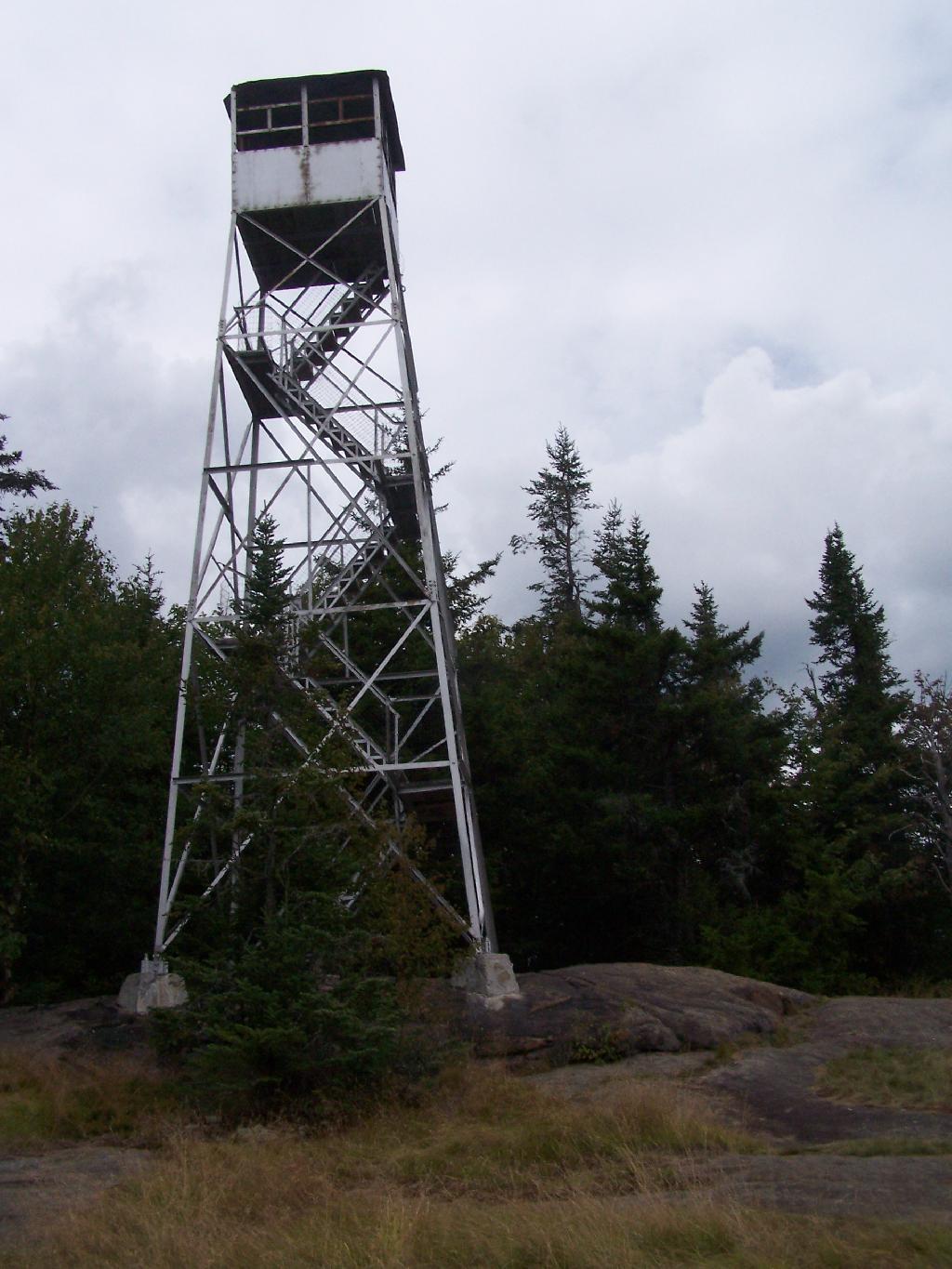
There are at least three different mountains in the Adirondacks known as Owls’ Head due to their small rounded peaks, with broad cols for shoulders. This one is the one near Long Lake, that has a 30 foot LS 45 Aermotor Firetower on top of it.
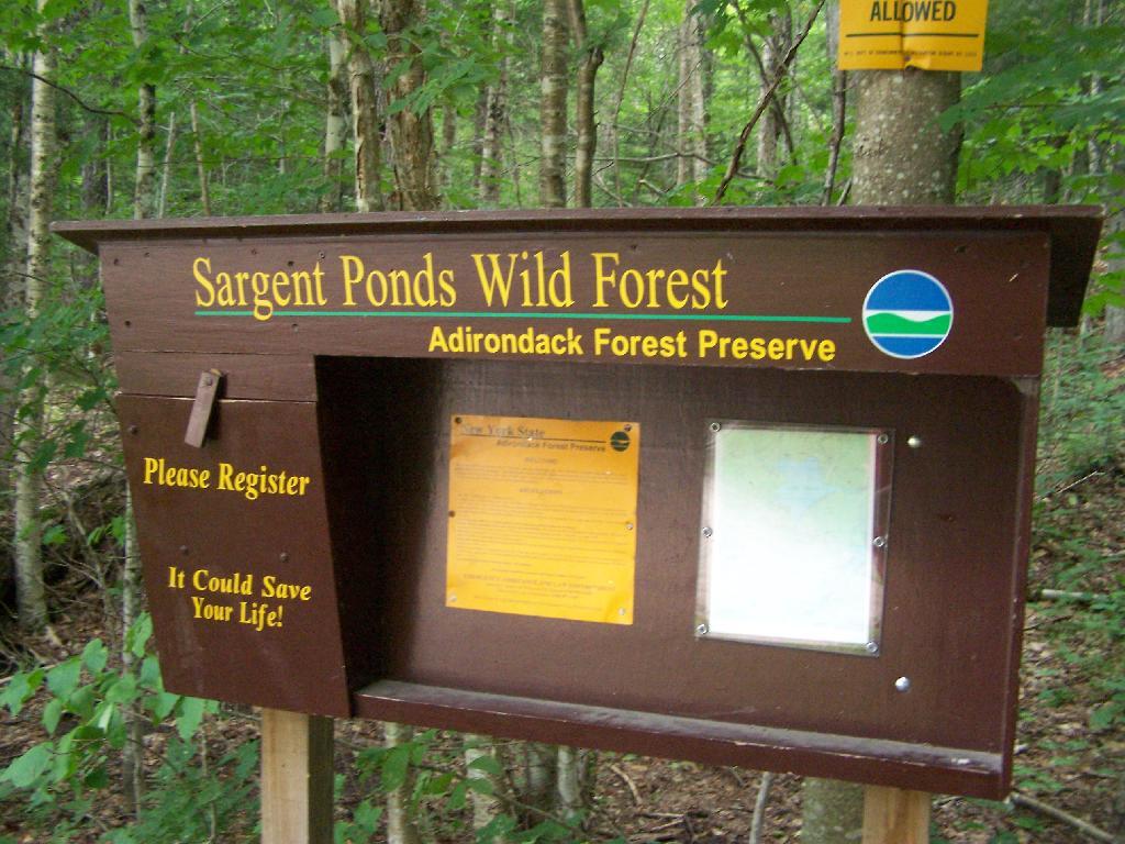
Sargent Ponds Wild Forest Kiosk. This is where you sign in, so they can have an idea on trail use, and make it easier to find you if your lost or injured.
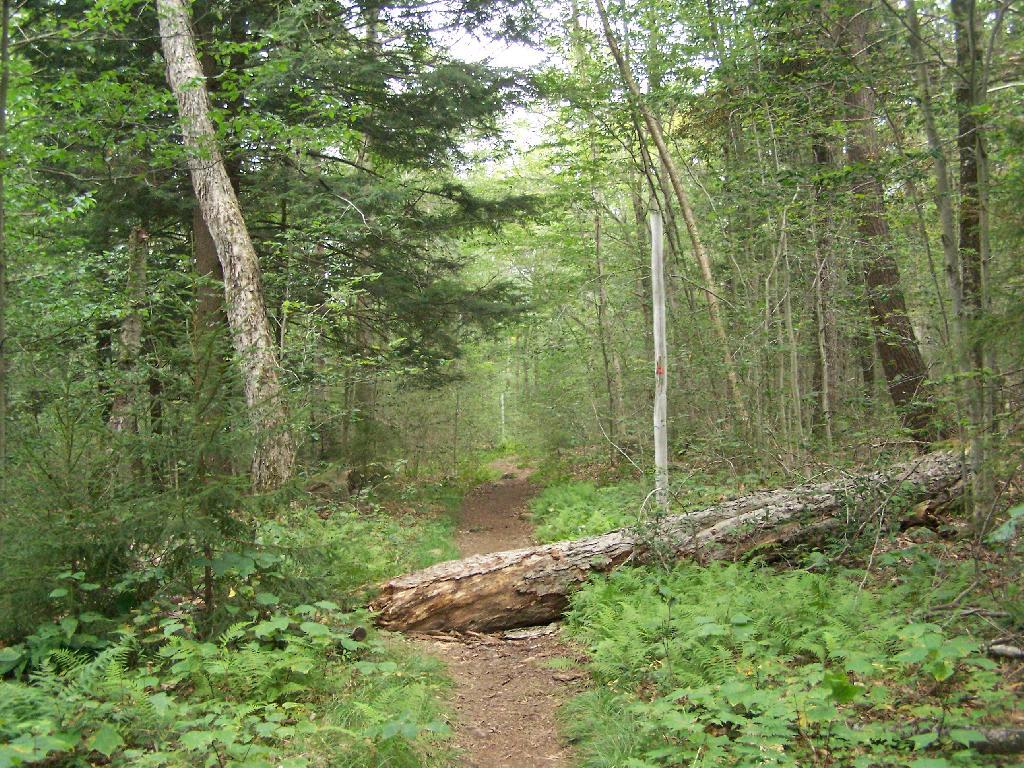
1/2 Mile In. The trail crosses this downed tree.
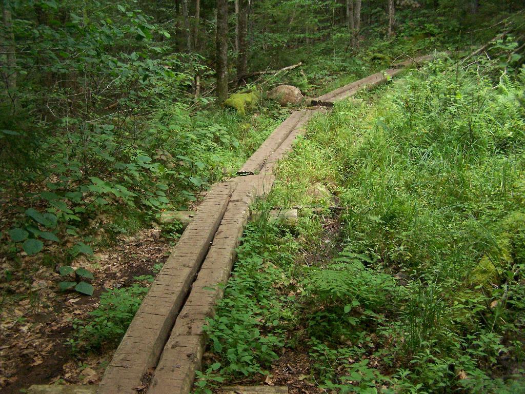
Boardwalks. Parts of the trail cross marshy areas on board walks, like these constructed on the first 3/4 mile of the trail.
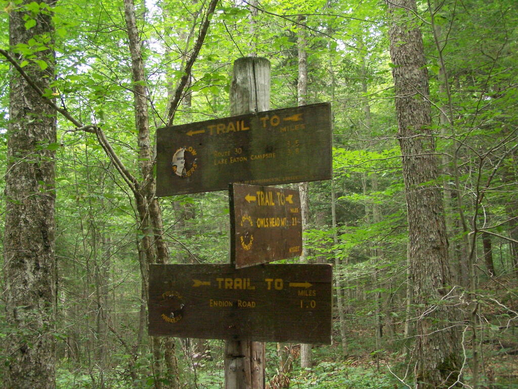
T Intersection. Make a left at one mile, to go up Owls Head. The other direction takes you to the Lake Eaton State Campground.
Grown Over Steel Trail Marker. It looks like in 1982, the state experimented with these imprinted steel trail markers along the trail, long since largely grown into the barks of the tree.
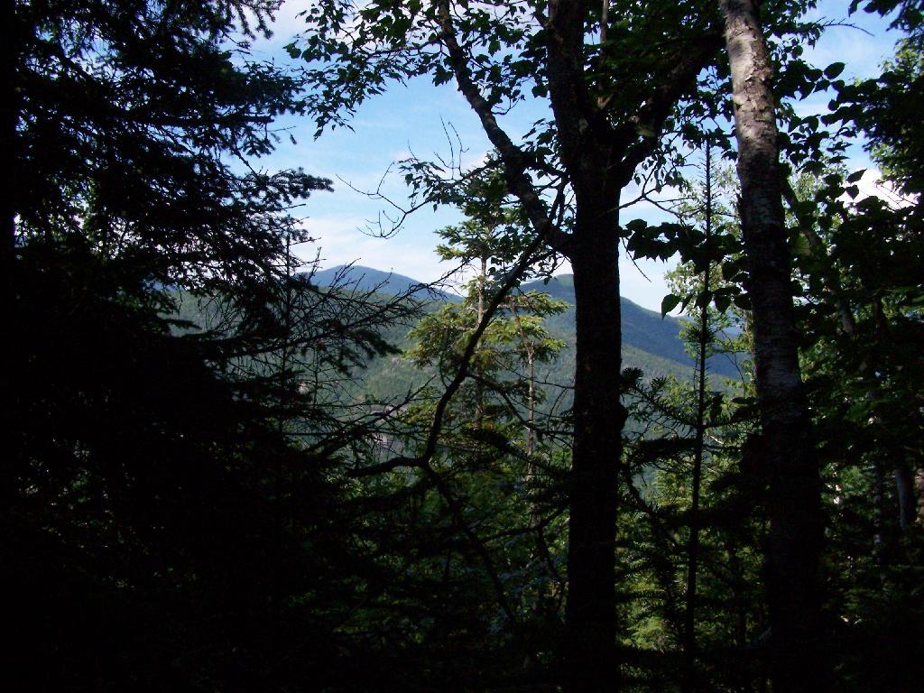
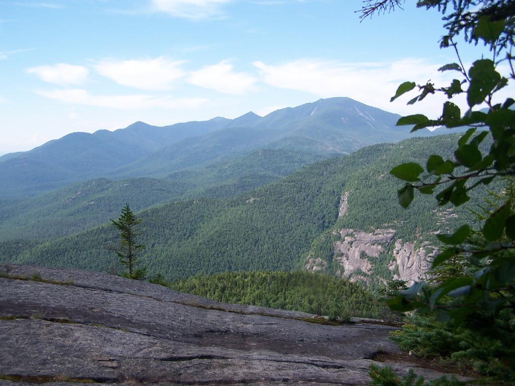
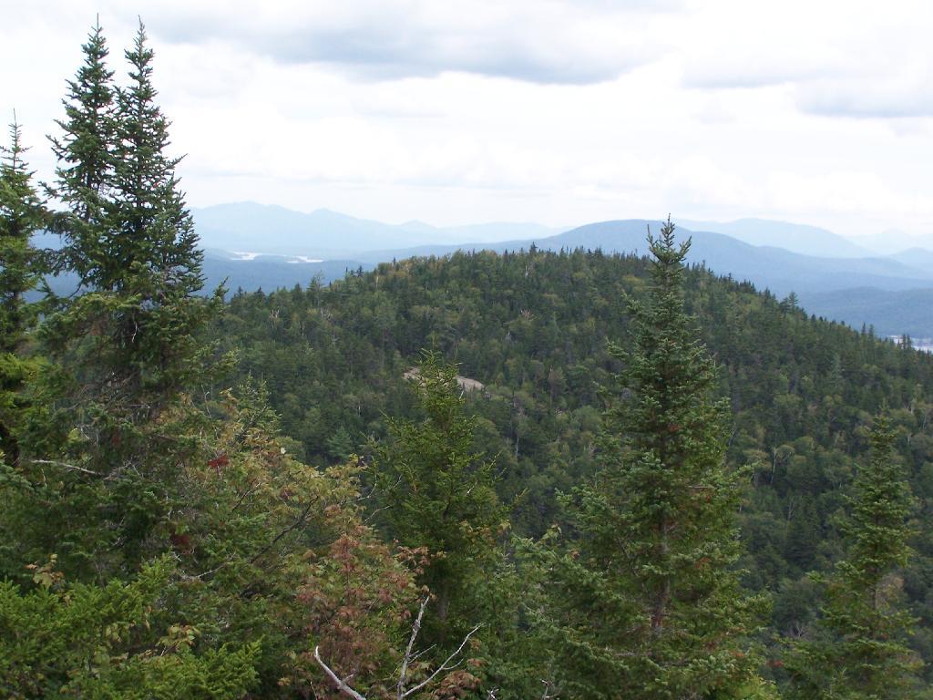
Views as You Ascend. This is looking backwards, towards the Sargent Ponds Wilderness, Lake Eaton, and the timber lands between here and Tupper Lake.
Observers Cabin Ruins. The cabin the fire warden lived in years ago, is not located on top of Owl’s Head, but below it on the shoulder. It’s a 1/4 mile hike to the top, and you accent about 200 more feet, up the pointly little head. The cabin was probably located here, so the warden could meet visitors, and escort them to the top.
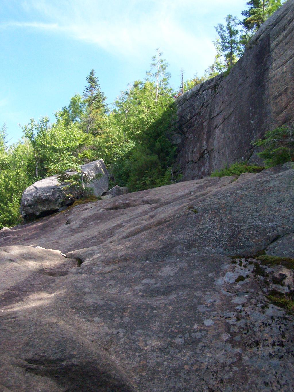
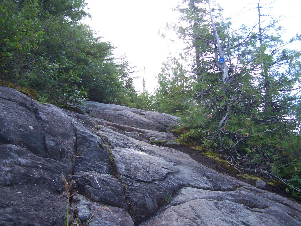
Well Worn Trail. Part of the trail is well worn, and is on open rock face. The good news however is with the lush tree cover, you don’t have to worry about acrophobia up here.
Reaching the Tower. You can’t see the fire tower until your almost on top of it, due to the heavy trees that surround the summit of the mountain, except for the bald portion where the tower is located, open to views to the south and east.
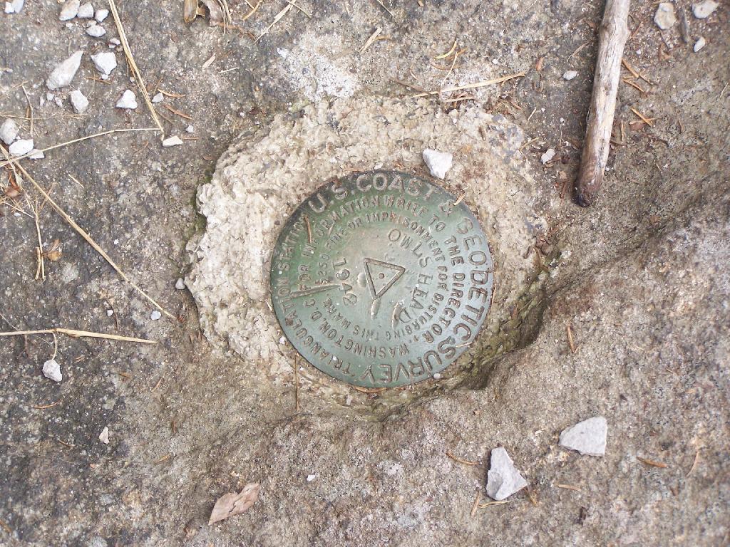
Survey Marker. It says it was placed in 1942 by USGS. It’s right below the fire tower proper.
Fire Tower. The fire tower is a 30 foot LS 45 Aermotor tower, pretty typical for NY State. It’s one of the short little towers, like also seen on Rondaxe Mountain in Eagle Bay.
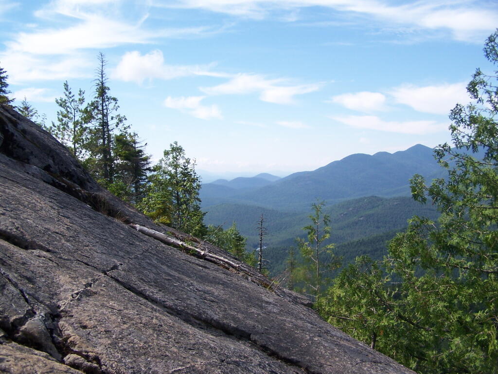
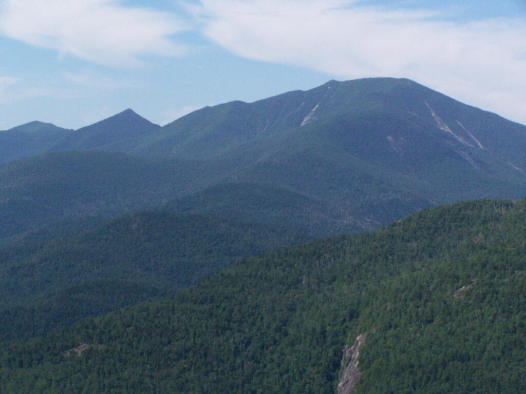
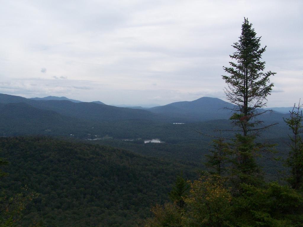
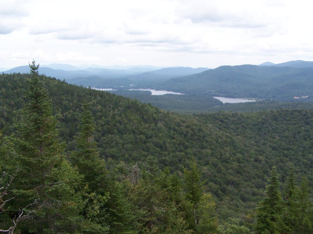
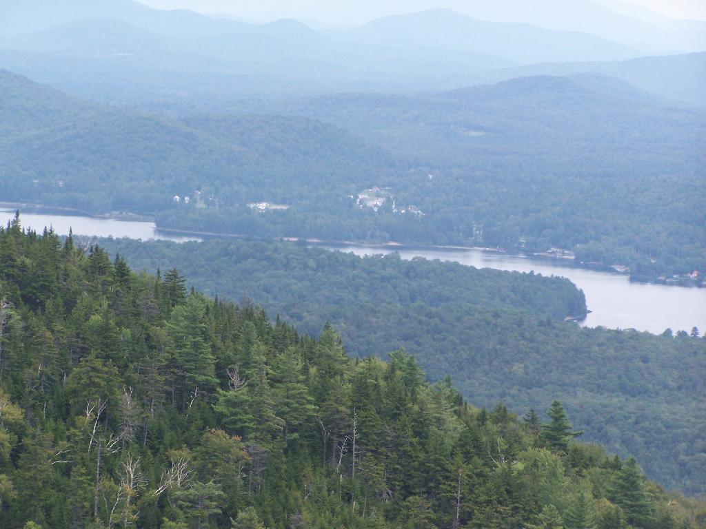
Forked Lake. This is looking south from the summit towards Forked Lake Campground and possibly Racquette Lake. The mountain in the distance is Wakely Mountain, one of the other fire towers originally used to pin-point fires in the Adirondacks (it takes two towers to locate a fire through triangulation).
Long Lake. This is another picture of Long Lake, a little bit farther north, with the shoulder/col of Owls Head visible in the foreground.
North. In the distance is Saranac Lake and Lake Placid, with Whiteface just beyond it. Not the clearest or nicest of days, but still visable. In the foreground is the col/shoulder of Owls Head.
Blue Mountain. Blue Mountain is another fire tower / mountain that is visible from Owls Head. Located about 10 miles away, in the foreground are Minnow Pond and Mud Pond.
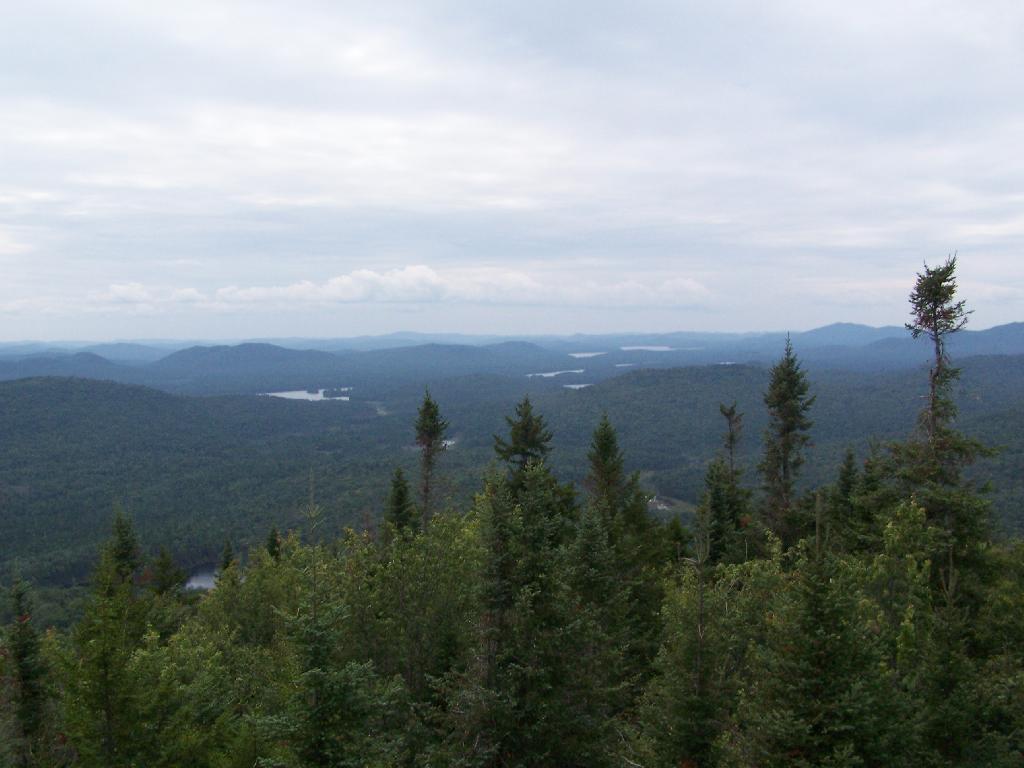
Sargent Ponds Area & Timberland. This portion north of NY 28 Corridor and Fulton Chain of Lakes is relatively flat, wild, and many portions privately owned as timberland.
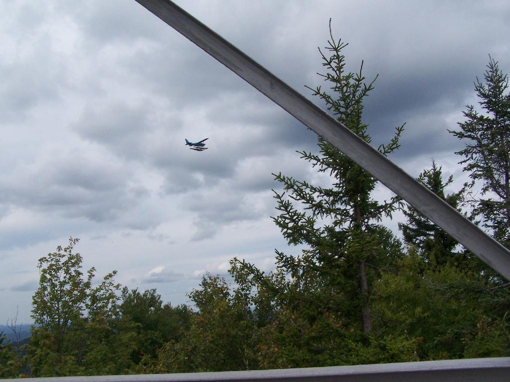
Float Plane. Owls Head is not the quietest mountain out there. Throughout the day, tourist float planes for hire, fly on and off Long Lake, just to north of mountain. They fly quiet low, as they are making the decent back to Long Lake.
Long Lake Village. While hazy today, you can see village of Long Lake quite well from the tower. It’s always crazy there, and I try to avoid towns whenever I’m in the Adirondacks.
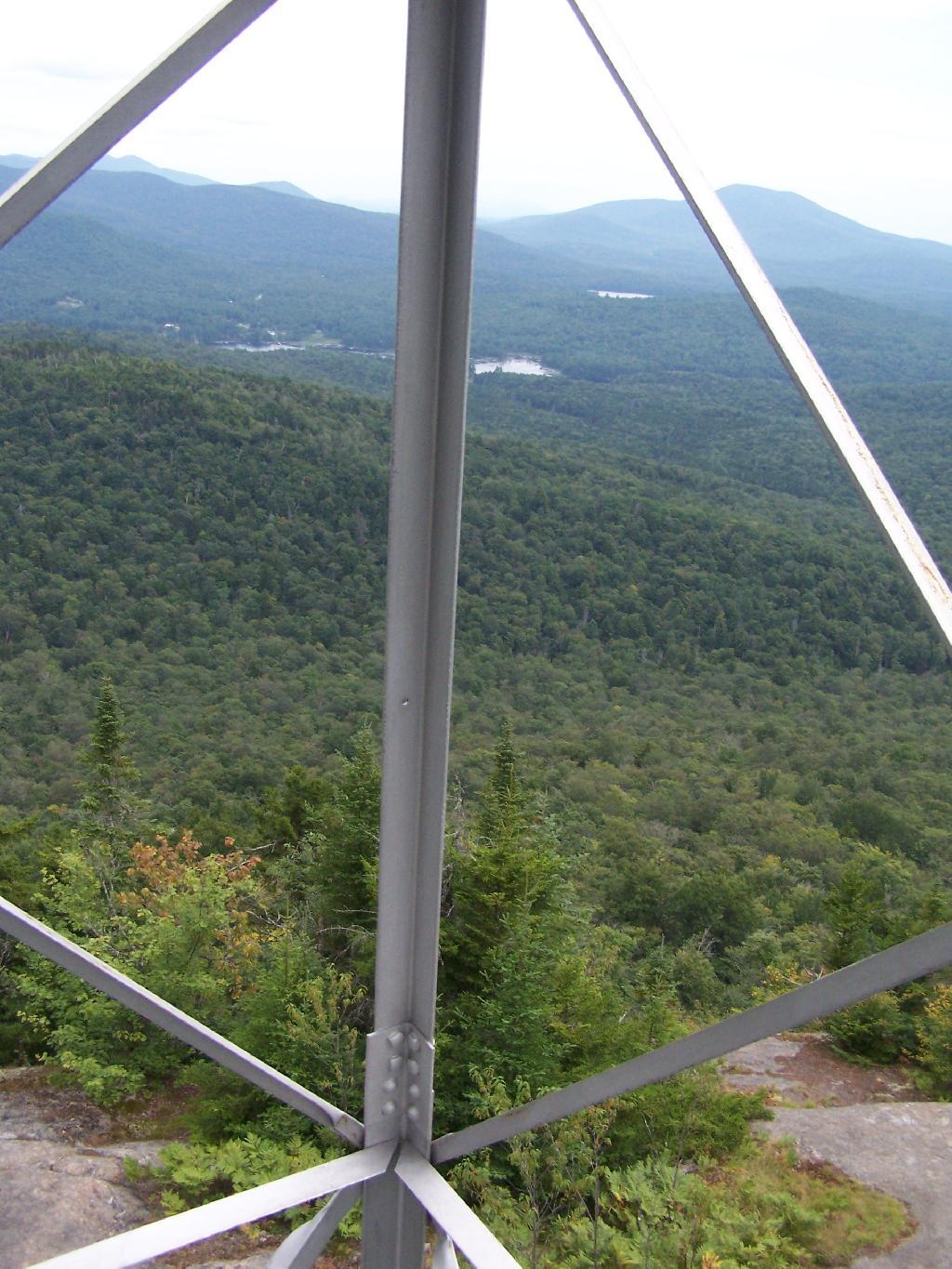
Fire Tower Corner. I always like pictures of the angles and construction of the fire tower. While common after climbing so many, fire towers have a lot of character in their structural steel.
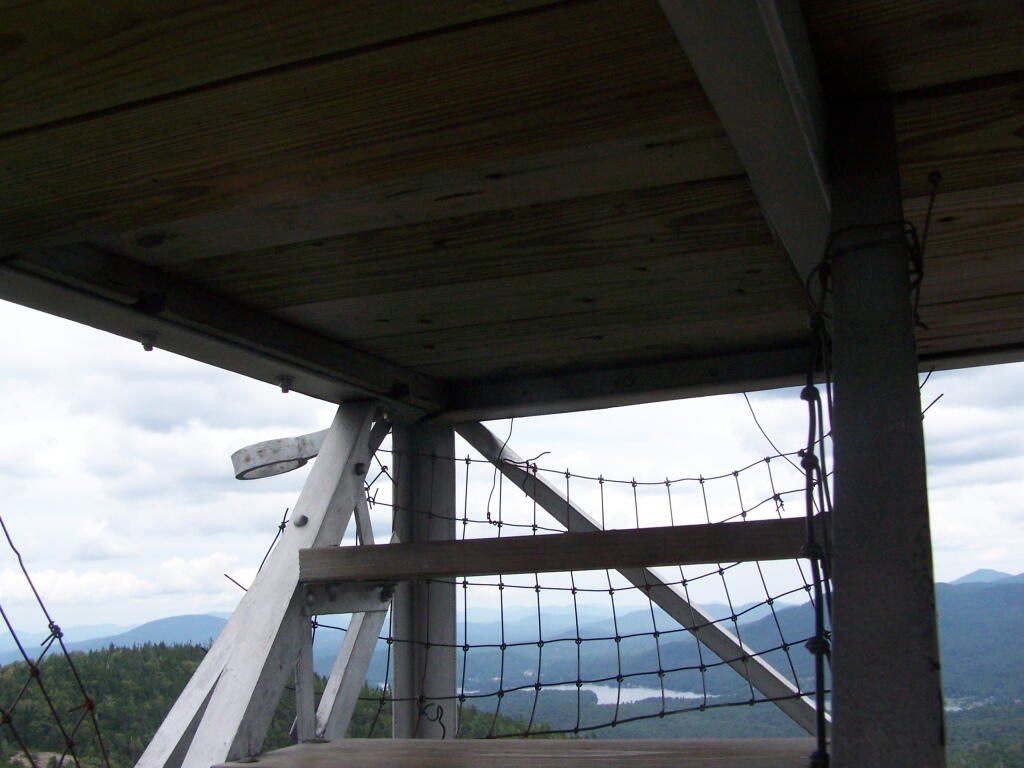
Tower Cabin Closed. It’s unfortunate but the tower’s cabin on this tower is closed, as it’s used for communications equipment.
Sitting on Mountain. Just sitting back and looking south from the open rock face a top Owls Head.
Old Telephone Poll. Descending the trail off Owls Head, I saw several of the old telephone poles, heading up to the former Ranger’s cabin. Some have been cut down, and used to control run-off on the trail, but others still remain.
There are 12 primitive campsites on or around Mason Lake, right south of the intersection of NY 30 and Jessup Lake Road, along with a scattering of designated sites in International Paper Easement. I camped there on the night of July 31st of this year. There is no firewood locally, you’ll have to buy some and haul it on the site.
Click to download high resolution map for printing. Be aware I added these campsites, and the Unit Plan calls for changes in the layout of campsites, so the site locations may have changed.
The campsites on Mason Lake are fairly popular, and if you want one lake, you will have to get there early.
Otherwise, the sites off the lake and nearby lake are often open, and the scattered designated sites throughout Perkins Clearing are rarely used. I hiked Pillsbury Mountain in the morning, and didn’t arrive until evening, so I had this site across Jessup River Road, a short walk to the lake.
Mason Lake in afternoon has some amazing reflections, of Floodwood Mountain. It’s not perfectly quiet, due to several campsites around, and the noise from NY 30’s traffic, but it is the closest free camping area on NY 30, just being North of Spectulator.
About three weeks ago I decided I wanted to go hiking in the Adirondack High Peaks. It was my first time hiking there, and it probably will be the last time I go up there for a while, mainly because of the absurdly bad fear of heights. A 120 mile drive from Albany, it took me about 2 1/2 hours to reach the trail head on NY 73.
The first part of the trail is steep (as is most of the trail), but with limited views.
After 3/4 mile of a hike, it opens up to a ledge with views of the Keene Valley.
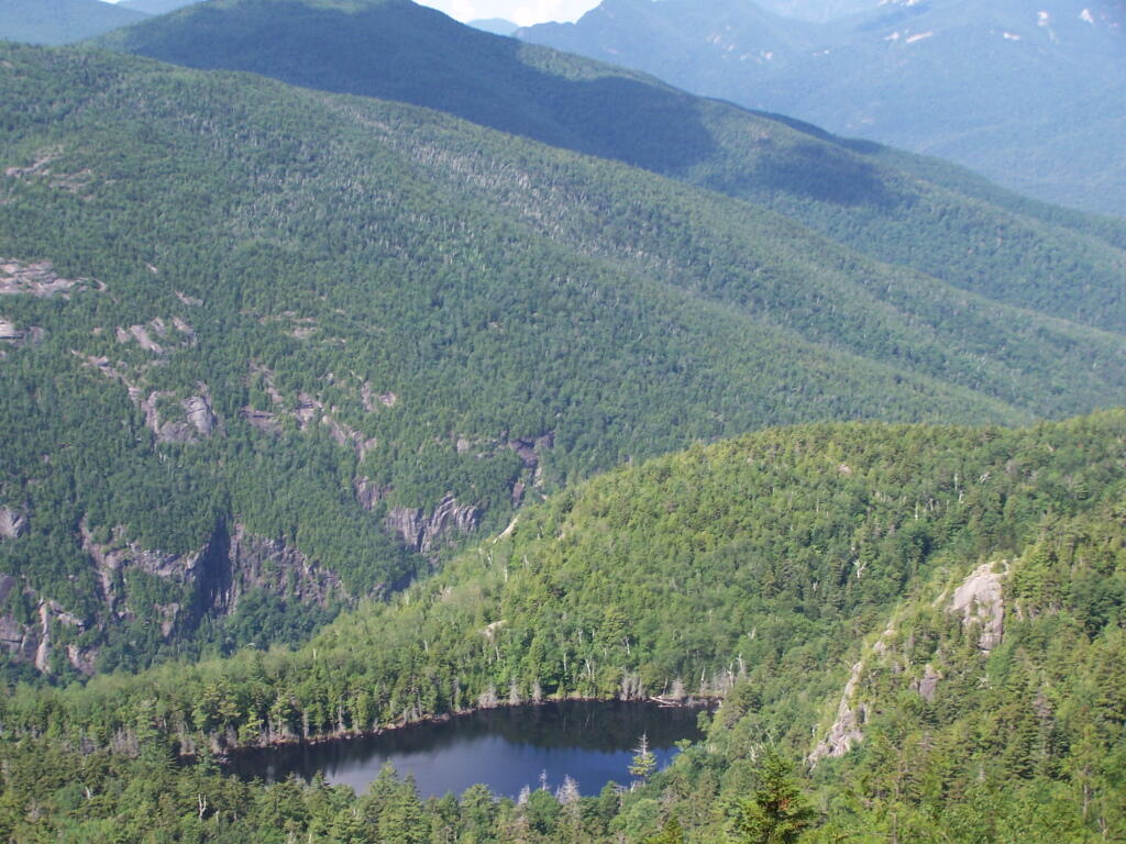
Shortly there after you reach the Giant Washbowl, a mountain pond with interesting views, surrounded by mountains.
You also get a neat view of Nubble.
There are two primative campsites along Giants’ Washbowl with no facilities except some logs to sit on.
You cross Giants’ Washbowl on a log.
With the confirous trees surrounding Giants’ Washbowl you would have no idea what season it was from this picture.
Past Giants’ Washbowl, the trail gets steeper and goes through a series of switch backs as you continue to climb.
At about 2 miles the trail opens up to a series of open rock scrambles, where you walk along a ledge of sloped rocks. It did nothing for me.
Literally, the trail runs right along this sloped ledge. These open ledges just made me sick. I started to puke, with my fear of heights kicking in as as scrambled along this.
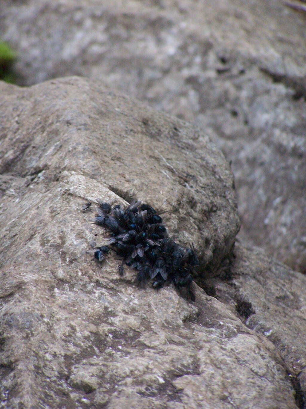
That and seeing the maggots swarming over this piece of dung right on the trail did nothing for me.
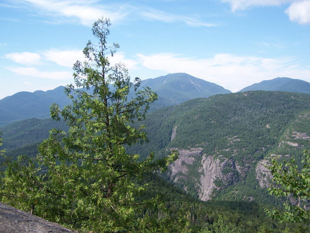
That said, the views from this ledge where spectular.
I continued to climb another 300 feet or so on the trail, when I decided to go back, but I did get a chance to get some pretty awesome pictures from up above.
On a rock ledge, looking down at Giants’ Washbowl.
And Noomatic Mountain.
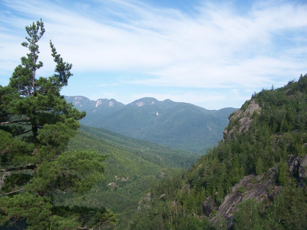
Looking South-West towards Pharoah Mountain Wilderness.
Dix Mountain and surrounding range.
At any rate, this kind of hiking did nothing for me. I decided to descend Giant Mountain, and not spend much more time in the High Peaks Range for the foreseeable future. As much as I enjoy spending time outdoors, the High Peaks with their significant ascent and the open faces just is no fun. Just writing about this mountain and looking at the pictures makes me want to barf again!
One month after my first hike up Severence Hill, I decided to do another “cool” down hike up this mountain. In only a month, the look off the mountain had changed quite dramatically.
Here is Paradox Lake on March 7, 2010.
Here it is on April 11, 2010.
With the Adirondack Snow having melted in the past month, things looked a lot different for sure. Things where already starting to show some signs of spring, and life, even if the Adirondack Winter still had another month to go before casting off it’s winter.
I must have spent an hour staring down at Schroon Lake, just pondering the Adirondacks and possibly moving out west. It was such delightful weather out there, and while I was tired from a day hiking, there was so much beauty with the setting sun. I had no reason at all to rush back to Albany, having no commitments when I got back home, except to get ready for the next day at work.
This hike, while short has so much beauty. Looking down at Steep Bay (part of Pharoah Mountain Wilderness) on Schroon Lake.
Then one last look at Hatchhack and Allered Hills to the south, silhouetted by the setting sun, as I descended the mountain, and headed back to Albany.
The Adirondack Northway (I-87) routing through the Adirondacks was a wonder of mapping. It provided a full-interstate quality route through a mountainous route, while only requiring a 254 acre taking of forest preserve lands in 1959.
The Northway runs through three state forest preserve lands that had to be condemned to run the Adirondack Northway. Planners avoided this except where absolutely necessary to avoid having to level entire mountains.
Taylor Pond Wilderness /
Pok-O-Moonshine Mountain.
The Northway parallels Route 9 as it starts climbing into the Adirondacks, taking about 10 acres of the preserve.
It follows along Lincoln Pond Road to a flat section known as Five Mile Meadows, probably originally cleared by logging. This probably is a 5-15 acres of taking.


![Blackwater Falls [Expires November 7 2023]](https://andyarthur.org//data/photo_005109_large.jpg)
![Untitled [Expires August 22 2025]](https://andyarthur.org//data/photo_004682_large.jpg)