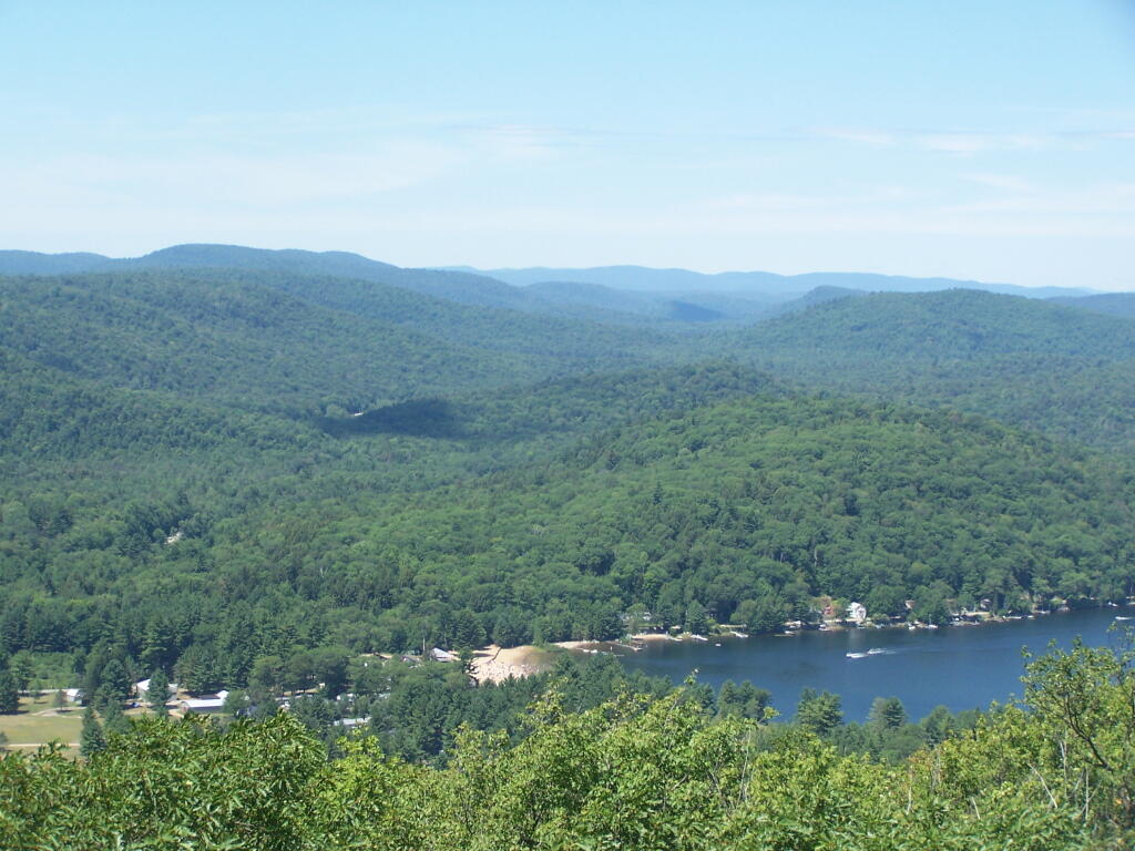
Firetower Steps Andy | July 23, 2011 Heading up into the cabin ... Saturday July 23, 2011 — Kane Mountain Fire Tower
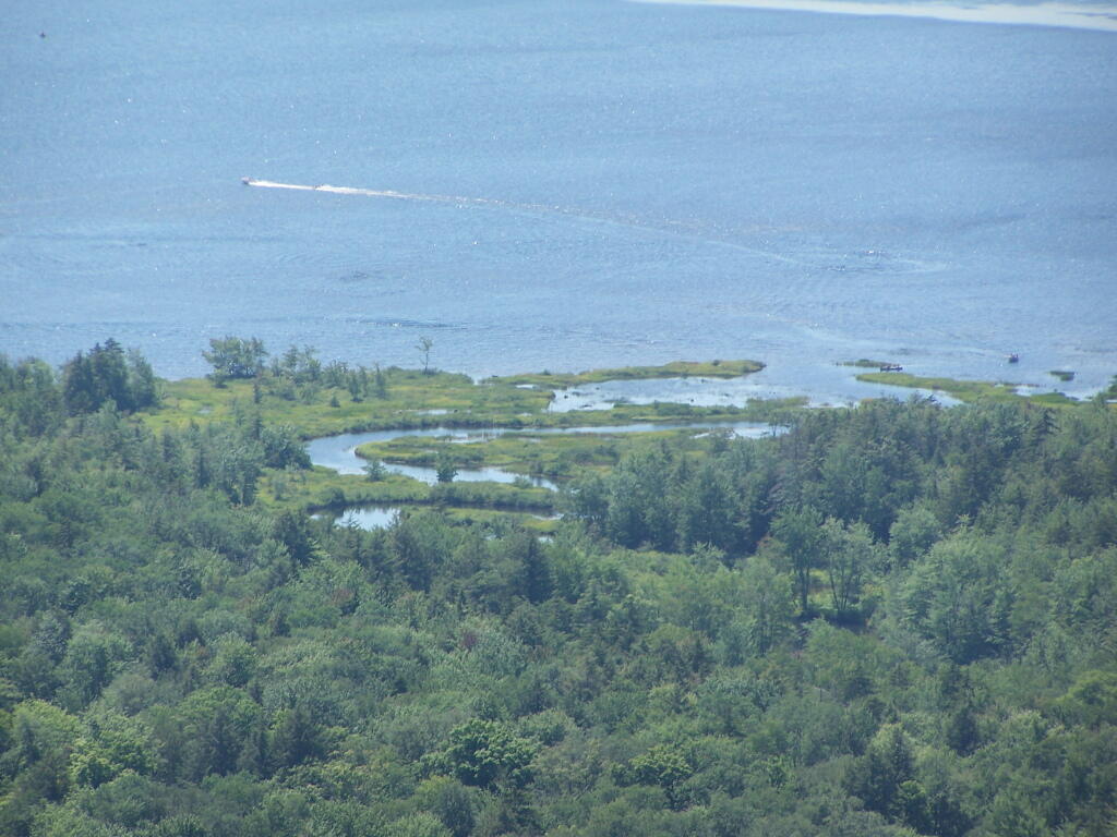
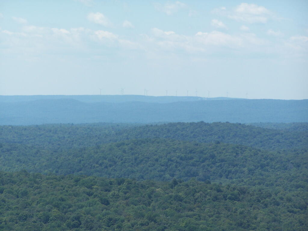
Jerseyfield Lake Andy | July 23, 2011 With the wind turbines, up on the ridge ... Saturday July 23, 2011 — Kane Mountain Fire Tower
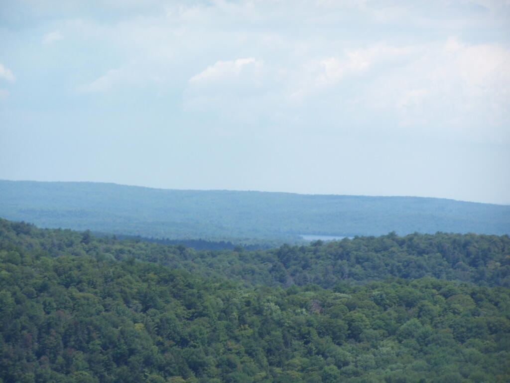
Wind Farm on Ridge Above Little Falls Andy | July 23, 2011 You can just make it out in the distance, beyond the lands of Ferris Lake Wild Forest. Saturday July 23, 2011 — Kane Mountain Fire Tower