Gilboa is a town in Schoharie County, New York, United States. The population was 1,215 at the 2000 census. The Town of Gilboa is in the south part of the county and is southwest of Albany.
ccording to the United States Census Bureau, the town has a total area of 59.3 square miles (154 km2), of which, 57.8 square miles (150 km2) of it is land and 1.6 square miles (4.1 km2) of it (2.63%) is water.
The south town line forms a border with Delaware County and Greene County. The Schoharie Creek flows northward through the town. New York State Route 30 is a north-south highway in Gilboa. New York State Route 23 cuts through the southwest corner of the town. New York State Route 990V is a highway running eastward from NY-30 in the southeast part of Gilboa.
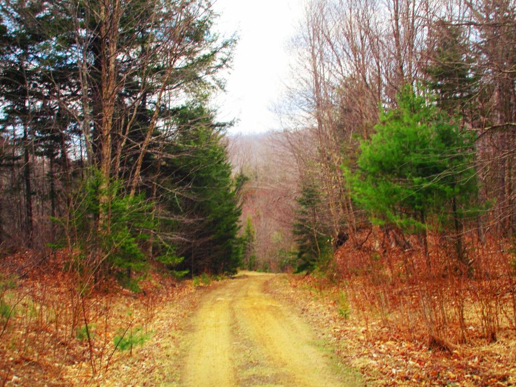
Road hikes are good this time of year, especially hardened gravel seasonal use roads that are closed to motor vehicles. Not likely to see many people this time of year for example hiking Piseco-Powley Road or West Road in Wells but you will see a lot of wildlife. Might not even need boots in such roads to the extent their snow free.
It’s a lot of fun to look at off-grid properties and hunting camps on the Internet. I do spend too much time dilly-dallying on my phone, looking at Land and Farm real-estate, as I found Zillow wasn’t exactly a great site for looking for places that aren’t your typical suburbanite development. Hunting camps and cabins, especially without electricity and running water out of the middle of nowhere tend to be quite affordable, especially in less expensive parts of country. Honestly, some of the properties I’ve looked at aren’t really accessable year round, might have restrictions on their use, or are too far from any kind of useful work, but it’s still interesting to explore and dream of the world of tomorrow.
When I own a land, how much land do I think I’ll want to own? I think I would want to own enough land to:
– Be able to hunt and shoot firearms at a backyard range, which would mean at least 500 feet from the nearest other house.
– Be able to ride four wheelers on my land, have some fun in the mud without making too much of a mess.
– Have enough land to hobby farm, such as pigs, goats, and other smaller livestock, which means they’ll need pasture and a bit of distance from the house.
– Be able to compost food, leaves, and other waste.
– Be able to burn trash and have bonfires, without causing a nuisance or smelling my neighbors burning their trash.
– Be able to listen to music as loud as I want to, hang lights outdoors, drink beer, and have a good time with buddies.
– Have junk cars and other equipment I’m working on, or saving for scrap use on my land without bothering others.
– Be far enough back from the road so I don’t have to see others or have others piering onto my land.
Obviously, none of that doesn’t require that much land if you have the right kind of neighbors and the right kind of state and local government that leaves people alone, but having more land often comes with having better neighbors that mind their business while you mind your own.
My parents have a little under five acres — surrounded on one side by city reservoir property — but I think I’d rather have closer to 50 with much less house and barns, as my focus would be the wilderness not having a fancy home or barnyard. Obviously, this is an expensive goal, but living farther out means you can get more with less money.
I’ve long had an interest in agriculture. Agriculture is science and the practice of turning rural land into food, using natural forces combined with knowledge gained by human kind to grow and feed humans and animals alike. Agriculture defines Rural America, it is the largest land use, provides a low-impact use of land that is largely sustainable and on-going. Farm land can generally be abandoned, and quickly revert back to full woods and wildland.
I grew up in a small town, I hope to move back there someday, probably once I finally say good bye to New York.
Pharaoh Mountain is located about 10 miles east of Schroon Lake, and can be accessed from the Long Swing / Pharaoh Mountain Trail from the North along with a much steeper and longer trail from Pharaoh Lake from south.
If you choose to take the infamous and rough Crane Pond Truck Trail to it’s end, and then park at Crane Pond, it’s only about a 3 1/2 mile hike up the mountain. If you stop at Alder Pond, and don’t drive through the shallow end of Alder Pond to get to the last mile of Crane Pond Road, then it’s a 4 1/2 mile hike each way.
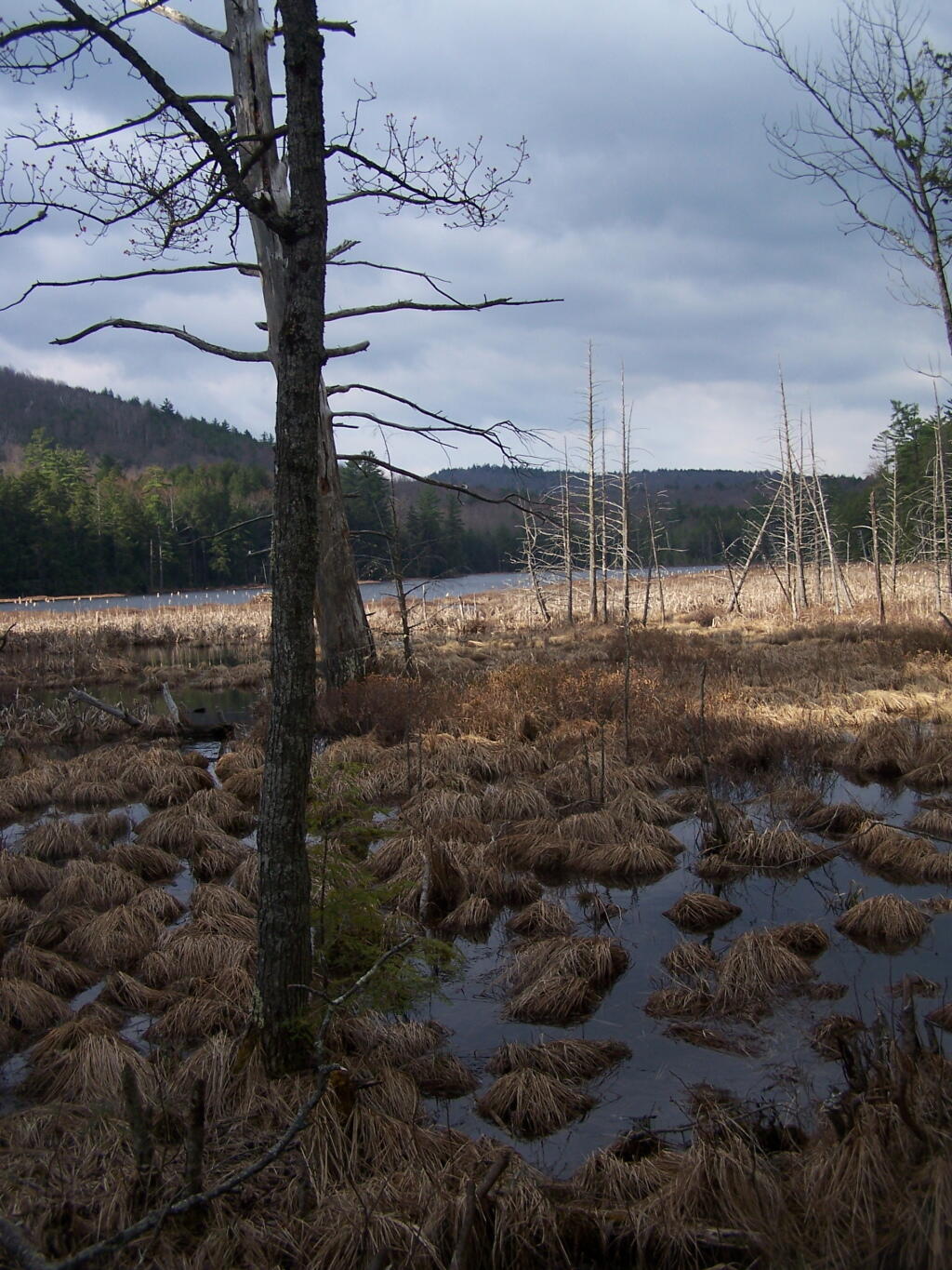
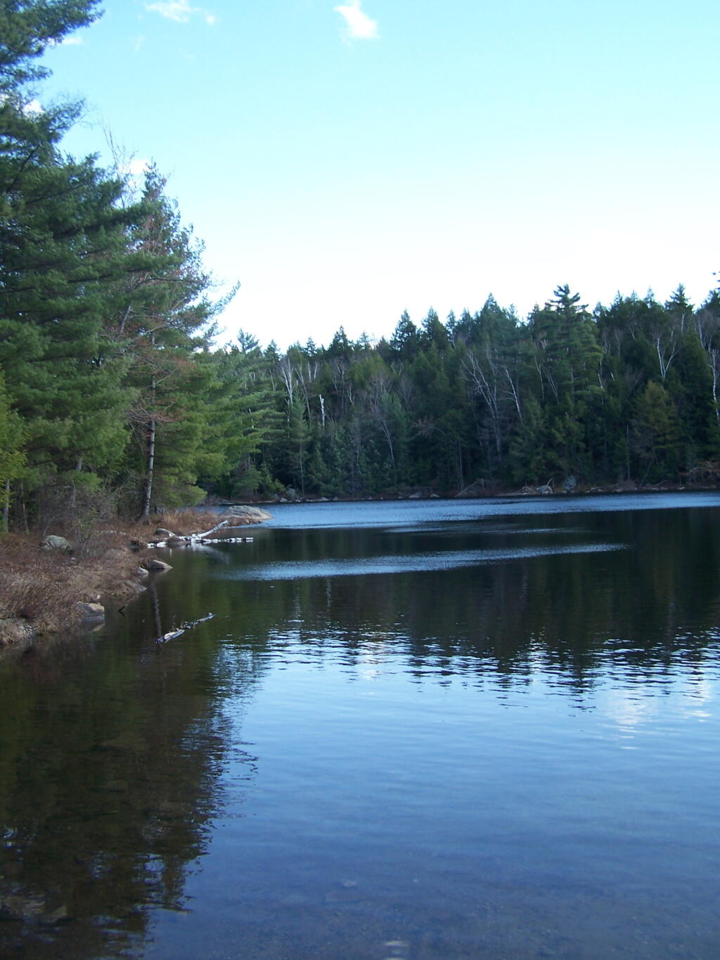
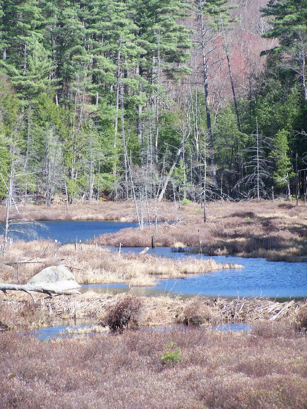
Below is Alder Pond. It was an amazing morning, as the rain let up and started to clear off. The truck trail cuts through the end of the pond, and with the recent rains, it was deeper then I wanted to take my old pickup through.
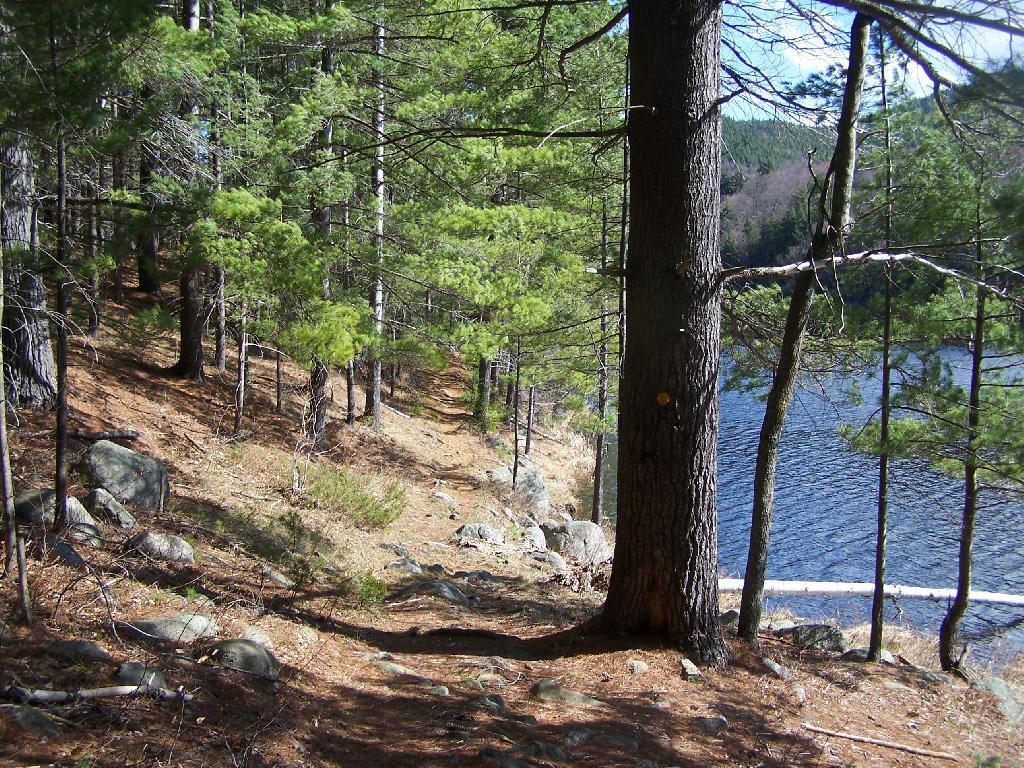
At end of Crane Pond Road is Crane Pond (not surpisingly!) There is a parking area here, and Crane Pond is known for it’s good fishing and beauty.
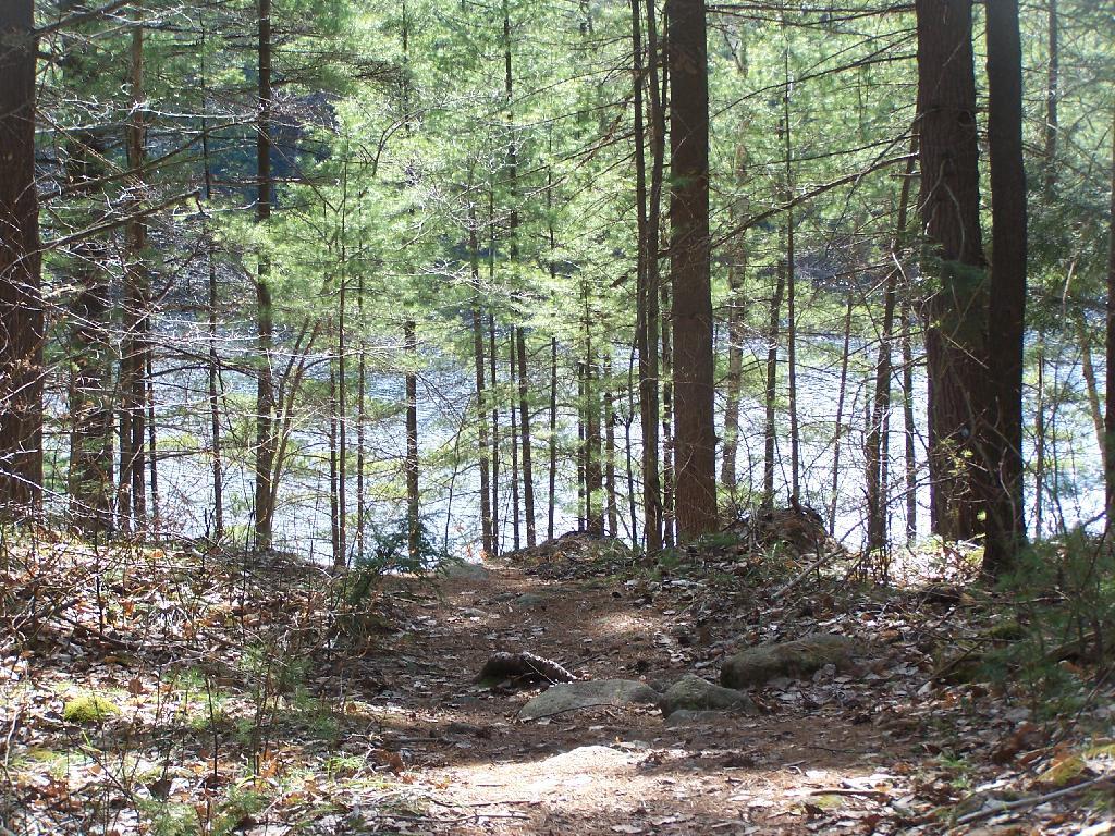
Reaching Glidden Marsh on the Pharaoh Mountain Trail. Pharoah Mountain is in the distance, with the peak sticking up. Most of the trail is relatively flat, until you reach the mountain, and then you start climbing.
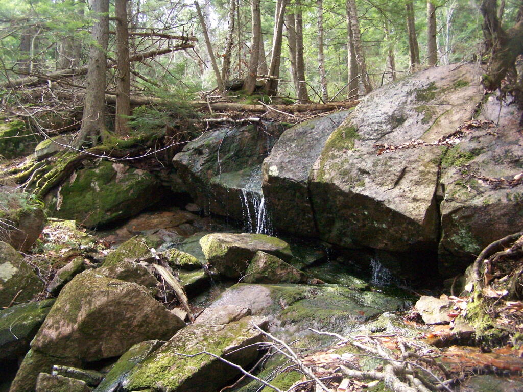
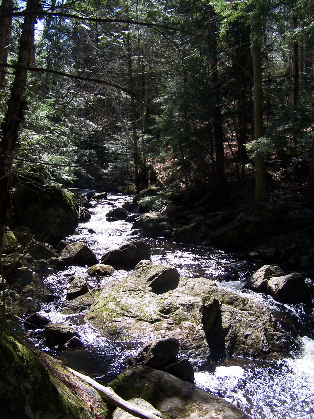
About halfway up there, there is the most charming little water fall.
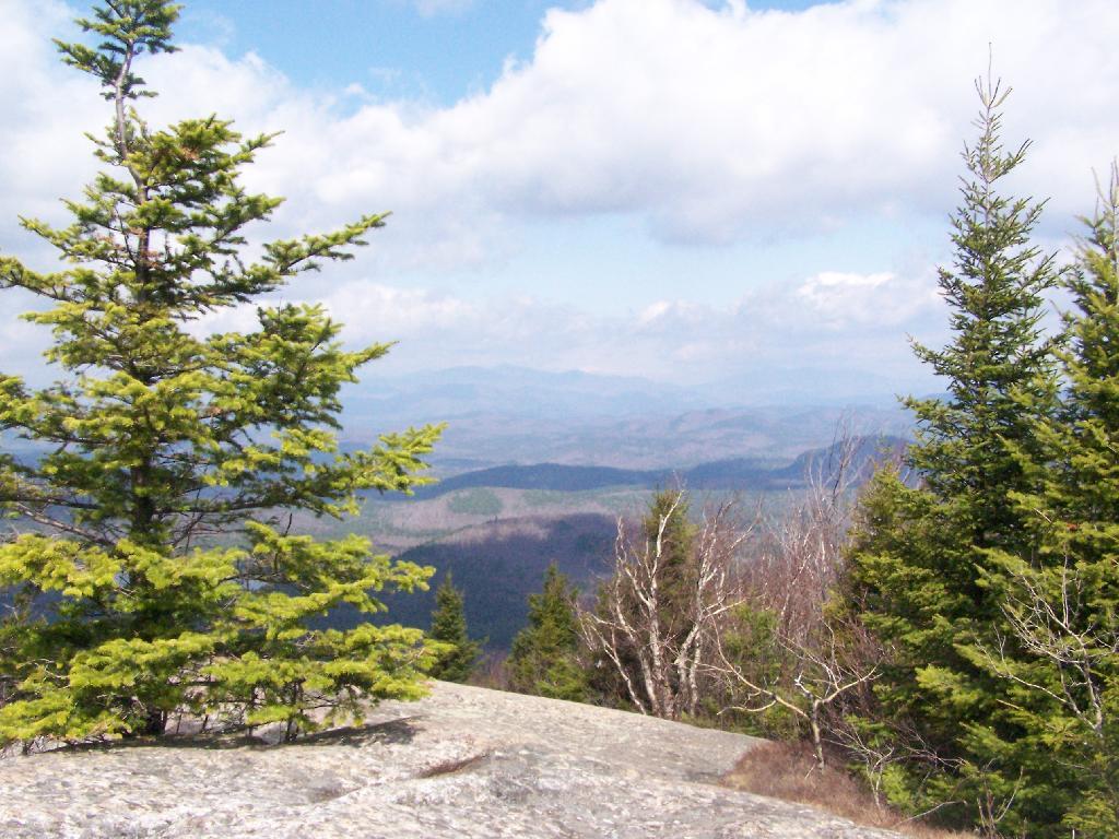
As you climb, views become progressively better.
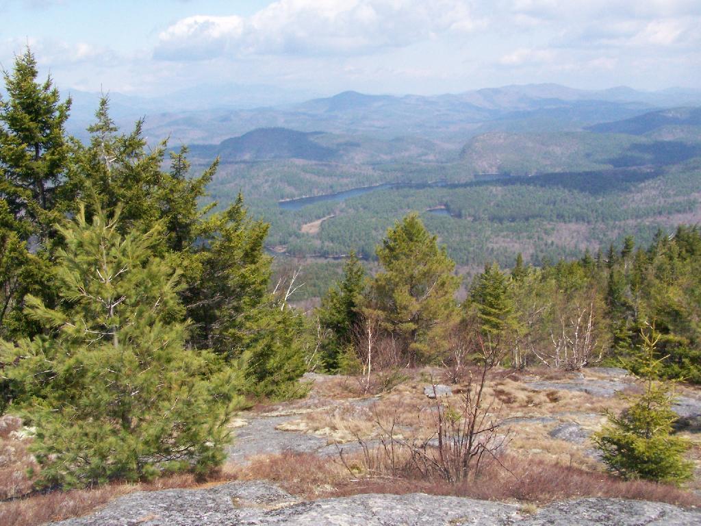
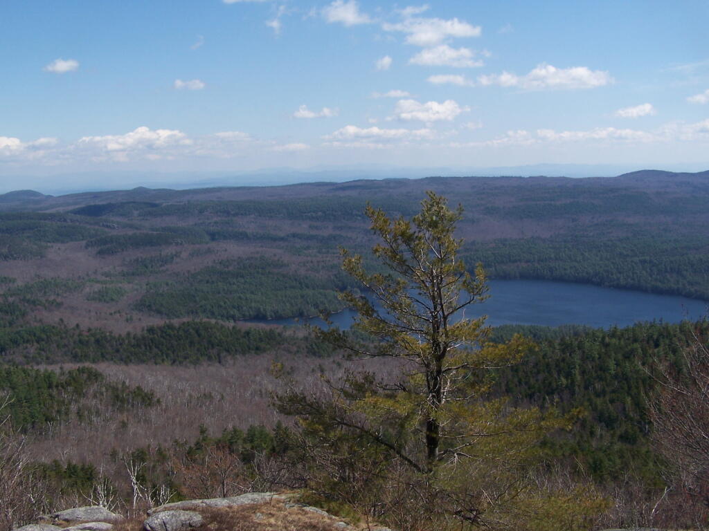
Reaching the summit, there are views in almost all directions, although you have to wonder around the top of the mountain to get all views. Here is looking North-East toward Ticonderoga. You can see Lake Champlain in the distance — barely, along with Crane Pond, Alder Pond, Oxbow Lake, and other features up close.
On the northernly view, you have nice views of the High Peaks Region of the Adirondacks, with Mount Marcy and Alonquin Mountains peaking out top.
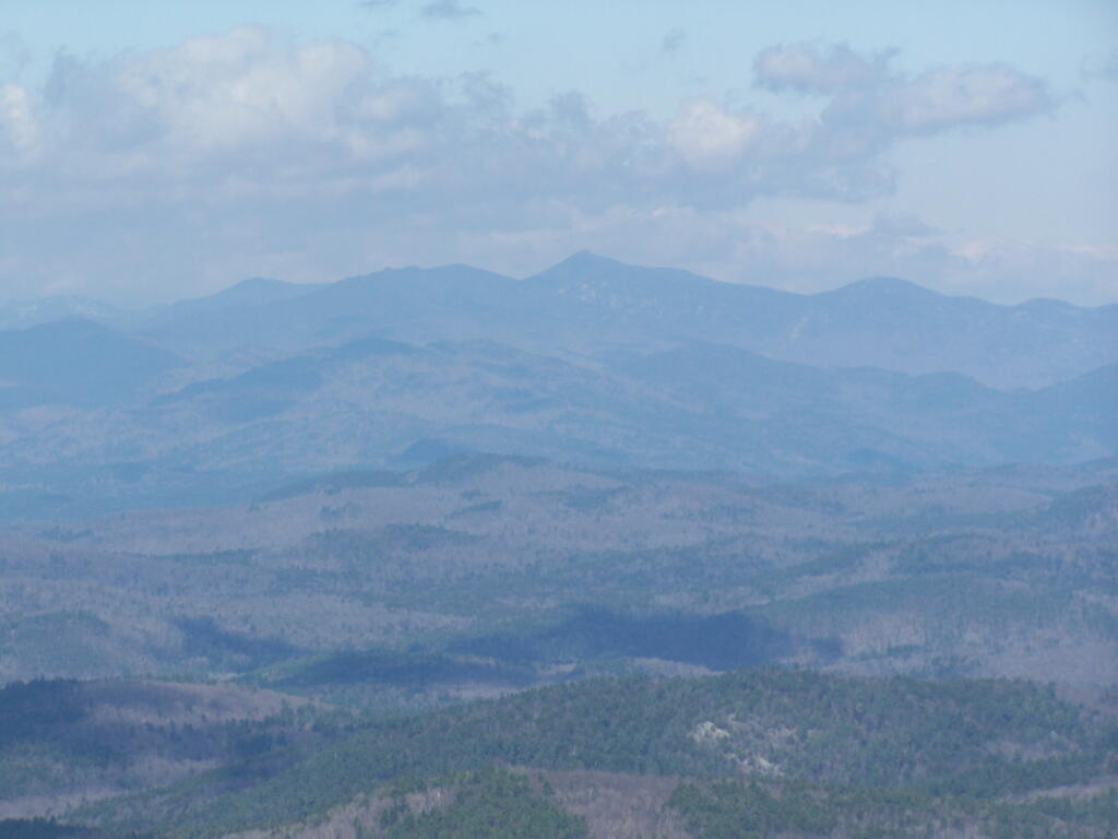
To the south-west, there are view of Gore Mountain (ski trails still with snow on it as of April 11).
There also is a primative campsite on top of Pharaoh Mountain.
To the South-East there is Pharaoh Lake, which I did not visit, but the maps show about 5 lean-tos surround it.
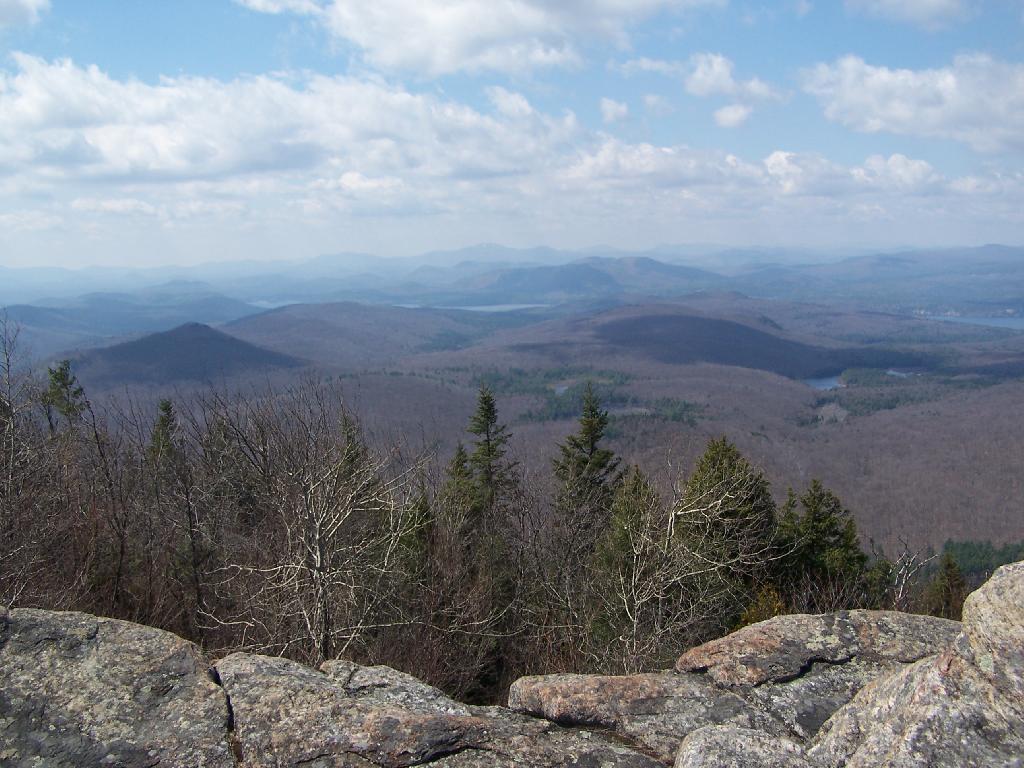
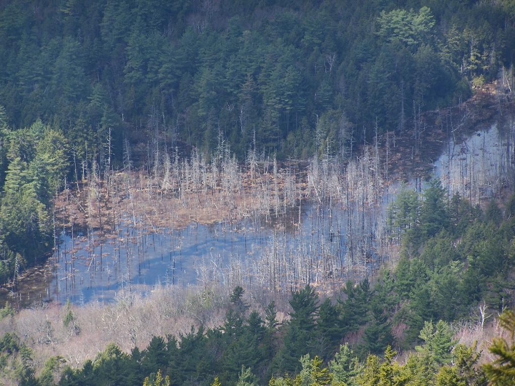
Desolate Swamp is quite purty from the mountain.
After hiking up the mountain, I took a side trip to the beautiful Oxbow Pond, and the other side of Glidden Marsh. Here is the Long-Swing Trail along the edge of Glidden Marsh, near the turn off to Oxbow Lake.
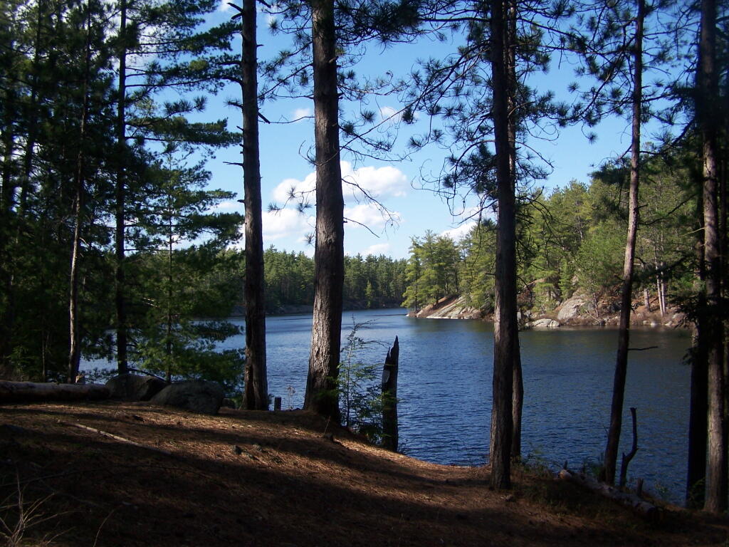
Oxbow Lake is so beautiful, and probably real deep.
The Oxbow Lean-To. It looks well used, but is in good shape, and has a decent outhouse a little ways from it, a fire pit, along with lots of water for cooking in the nearby pond.
The one end of Oxbow Lake is swampy, as it runs between outfall of Crab Pond down to Oxbow.
Heading back to the truck, the sun flickers on the outlet of Glidden Marsh.
An amazing hike. Definitely want to come back, and possibly spend a night at Oxbow Pond.
In the modern era, it’s important that everybody know how to do a little computer programming. Not an expert on every langauge, but basic profinency on the concepts behind computing coding can make individuals much more productive. It’s hard to describe how many times before, I’ve used little bits of code to make my life better, to automate processes, to find solutions to problems that nobody else has addressed.
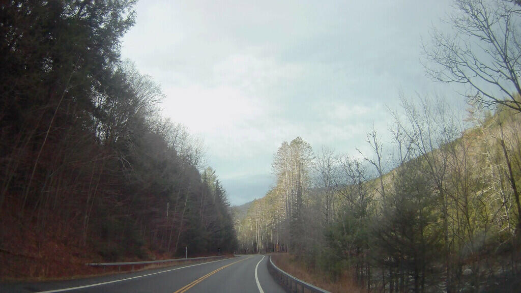
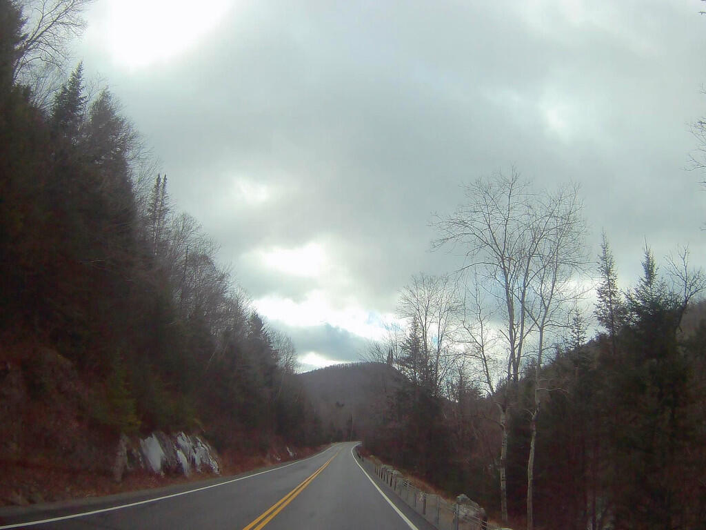
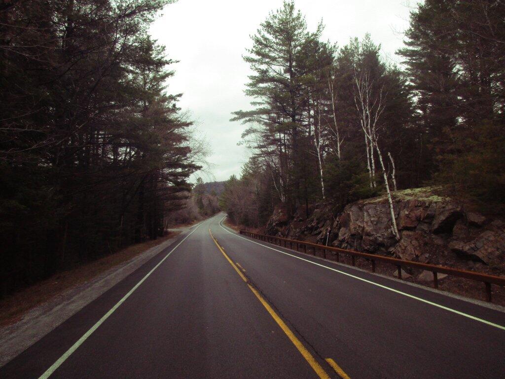
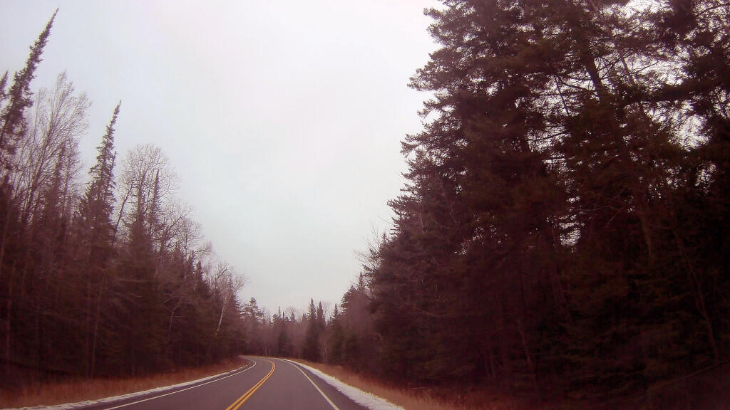
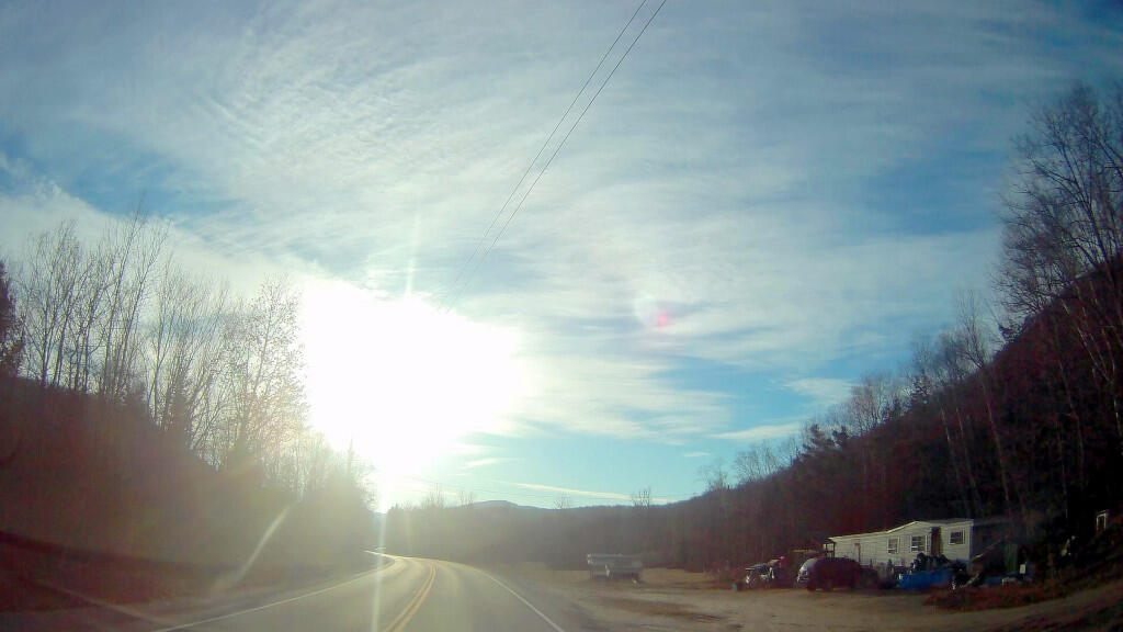
During the shoulder season of the year — when there is snow on the ground or a high risk of snow and ice — the East Branch of the Sacanadaga River is my place of choice to camp. I’ve always enjoyed the scenery of this rural highway through the Adirondack Wilderness. Some pictures of this highway …
And a short video of part of the drive from Fox Lair to Baker Mills …