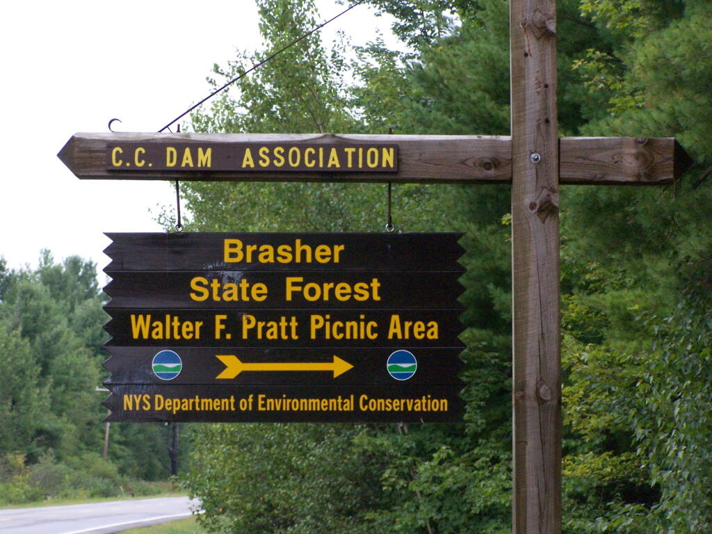
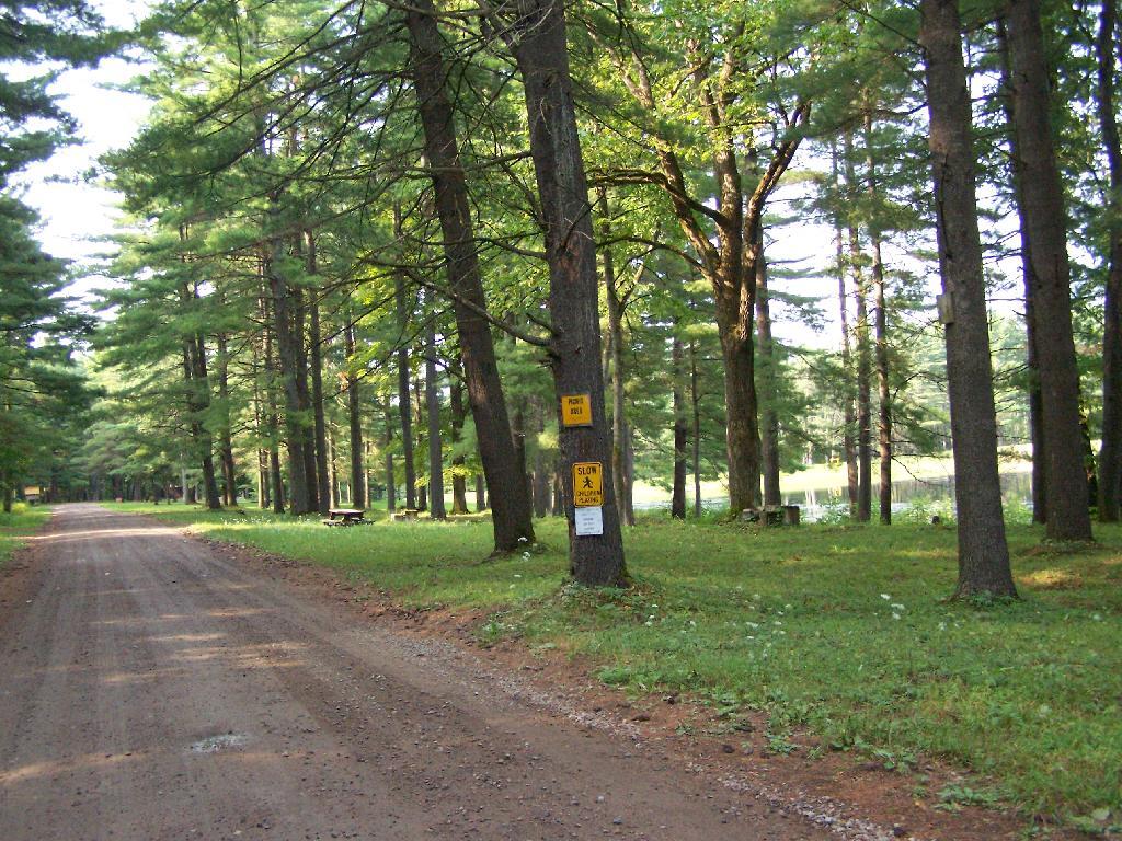
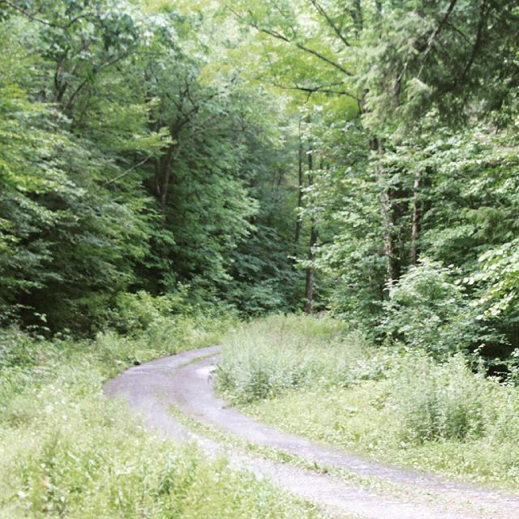
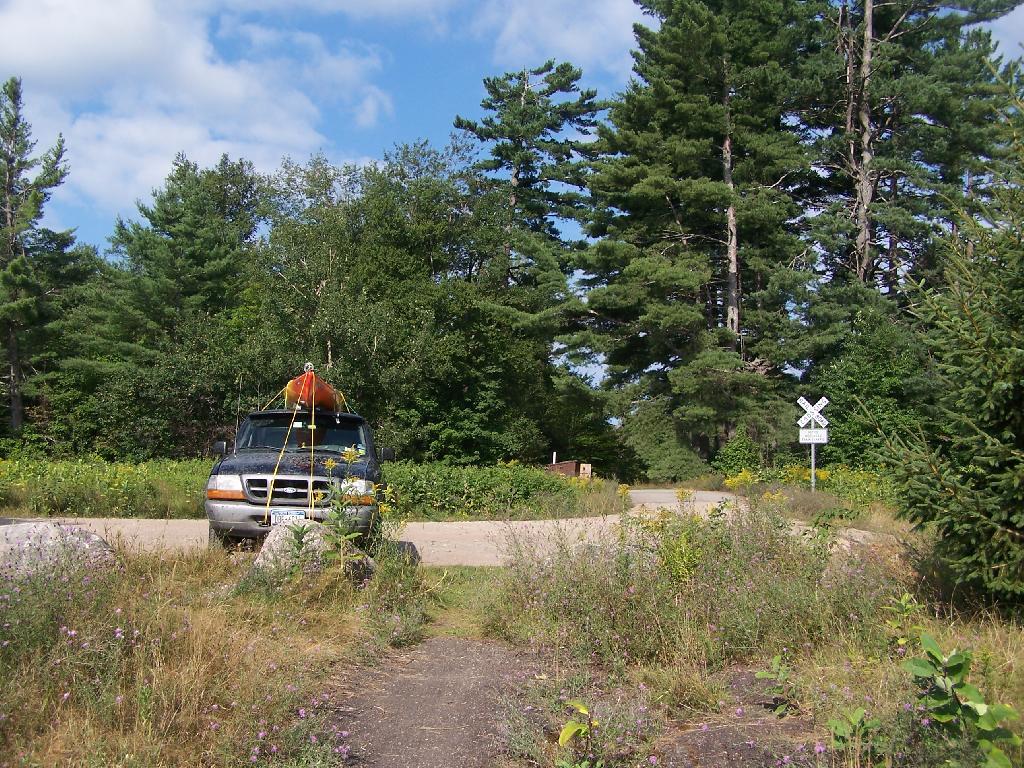
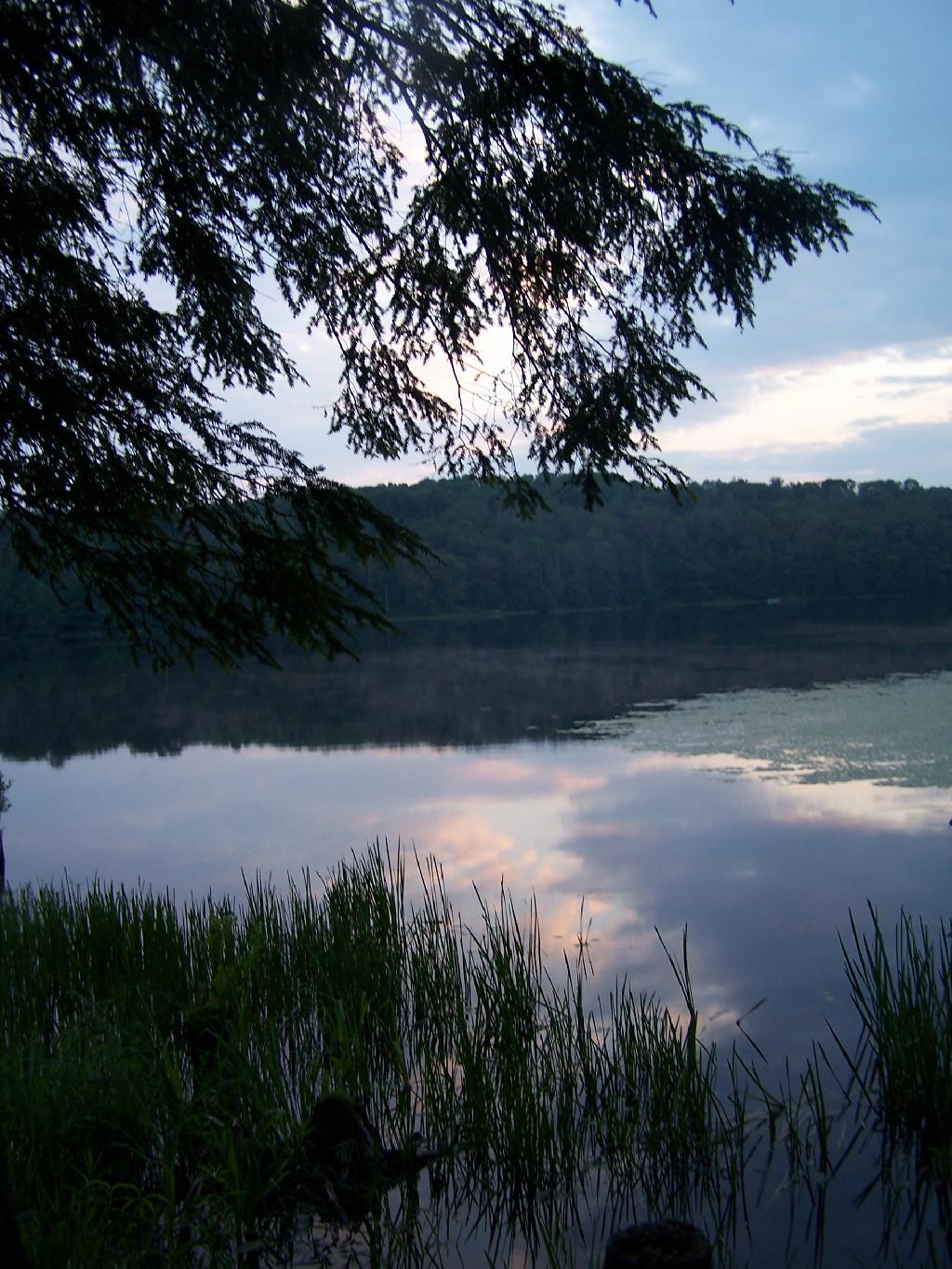
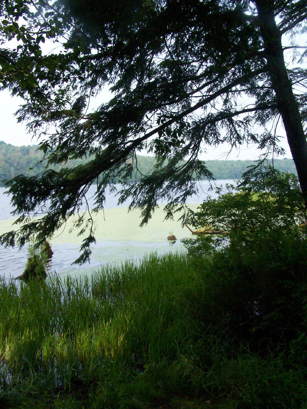
There are two camping areas in Brasher Falls: The Tri-Town Equestrian Assembly-area (field camping) off Truck Trail 901, north of DEC Maintenance Garage, and a 21-site Drive-in Camping Area known as the CC Dam Association / Walter F Pratt Memorial Forest at Redbrook River Dam. The CC Dam Association area is maintained by a group of local volunteers, and offers many amenities not found at most primitive camping areas. It also staffed by volunteers on weekends.
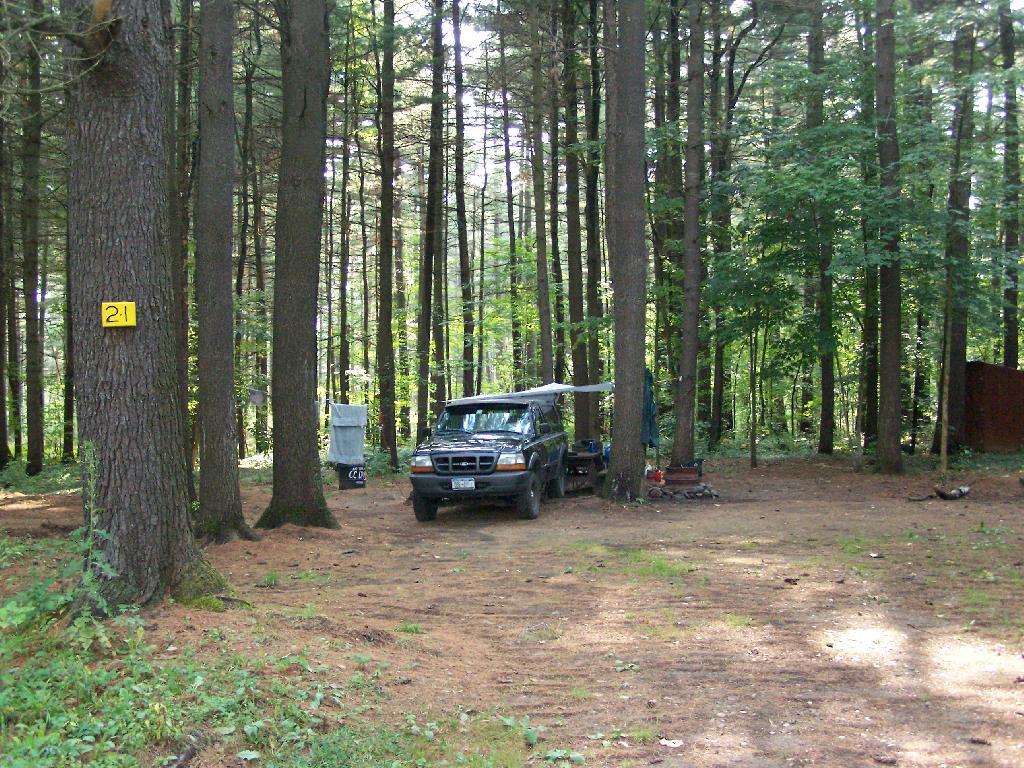
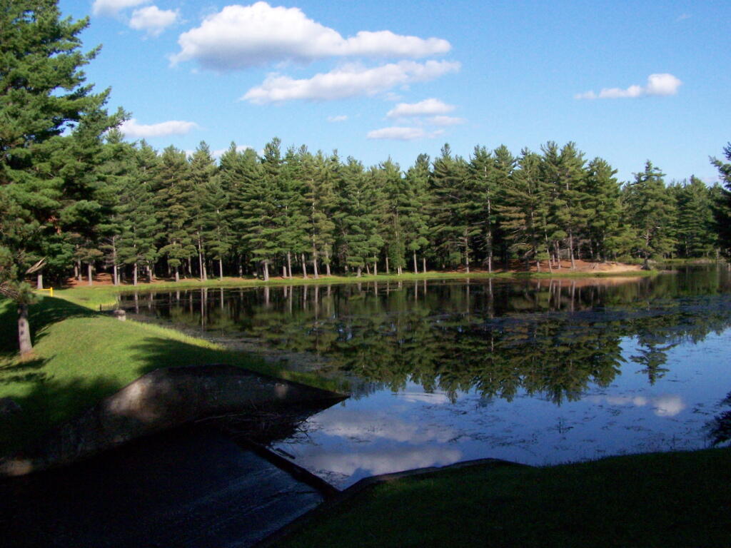
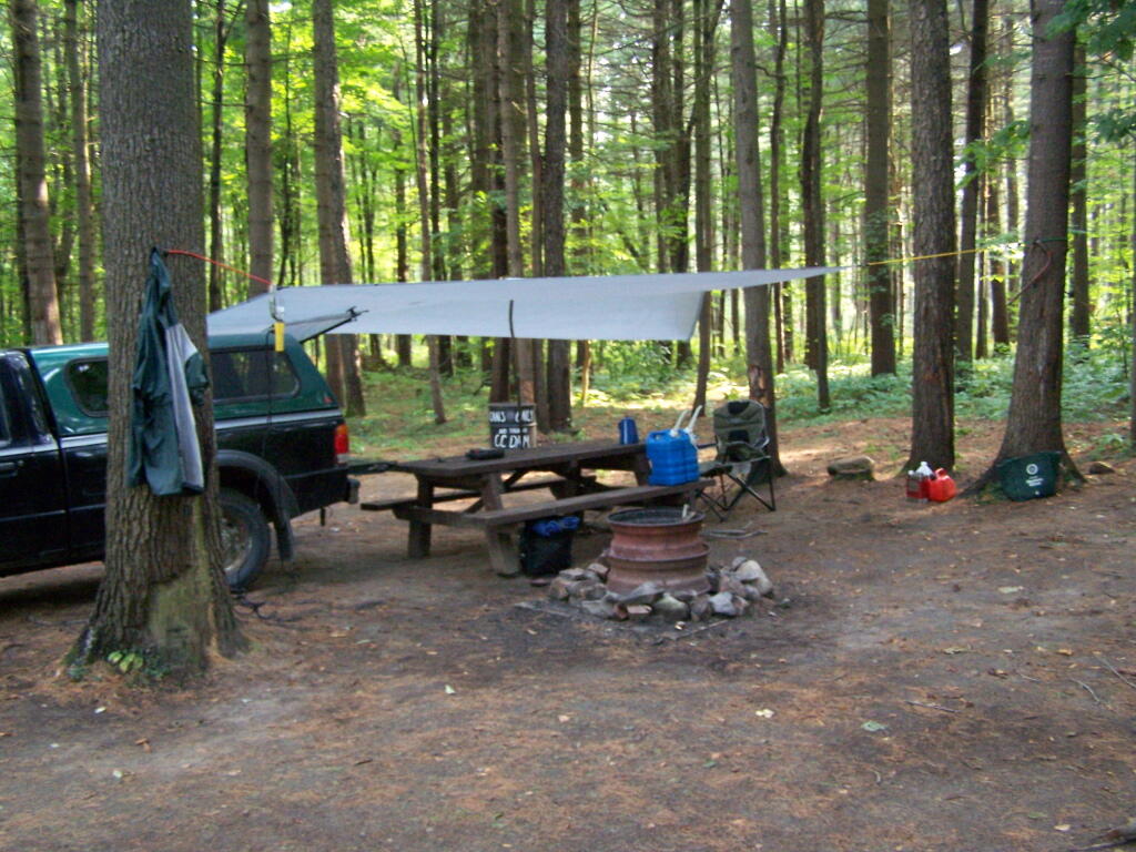
Like Moose River Plains, all of the sites are hardened with gravel, have picnic tables, and outhouses. They are a short walk from a man-made lake, consisting of the Redwater Brook (red from iron in water), which was damned up by the Civilian Conservation Corps. Swimming is allowed. There is a horseshoe pit. There is a hand pump for water, although it says “Non-Potable Water”, so boil first. Many of the sites are pretty close together (25 sites on 1/2 mile of road, only one side), with somewhat limited screening. On weekdays in summer, when I camped there, it was little used.
Nearby there are dozens of miles of truck trail, hiking, and horse trail to explore, and while not-officially sanctioned by the DEC are also used for riding ATVs. ATV use on roads were allowed prior to Court-case prohibiting on-road use of ATVs except to access trails.
“The Walter Pratt Memorial Park features two accessible camp sites [ed note: and 19 other sites that can accommodate trailers/RV/trucks] designed for use with camper trailers. Each site has an accessible picnic table and a shared privy. There are also two accessible picnic sites and a privy located in the day use section of the park, the picnic tables overlook the impoundment at Redwater Dam. The park is open from mid-May to October, for camping and picnicking.”
Moose River Plains is the largest roadside camping area in the Adirondacks. It has also been called the largest roadside camping area in the United States, at least with entire road system, considered as a single consolidated unit of 175 campsites. In recent years, a number of sites have been abandoned or closed to protect environmental resources, however the supply of campsites usually exceeds even peak usage on holidays, so finding a good spot is never hard.
In Fall 2010, a new Unit Management Plan was adopted in Moose River Plains. It made the following major changes to the area:
Reduced Drive-in Campsites At Wakley Dam to 5. A couple additional tent sites will remain. The Wakely Dam will prohibit motor vehicles crossing it except snowmobiles.
New “Intensive Use” Area Was Created to Allow for Up to 150 drive-in campsites (tent or RV or truck camper) to remain along Moose River Plains Road, Helldiver Road, Lost Ponds Foad, Loop Road, Red Dam Road, and other Camping Spurs with spacing less then 1/4 mile. There is no charge to use these sites, you just need a permit if you stay more then 3 days.
Campsites Along Otter Brook and Indian Lake Roads will be spaced a 1/4 mile apart, and avoid sensetive areas, such as closing the sites right along the Moose River. These sites will be primarily tent sites during the summer, but during Big Game Season, RVs and truck campers will be allowed.
“The creation of the MRPCA will create some challenges in educating the public as to what to expect within the area. As the area will not charge fees, nor will reservations be taken, users will be arriving at the area without the benefit of knowing what site they may be camping at. Users will need to drive through the area and locate a site that is suitable for their needs. In the unlikely case that no sites are available, users will need to be educated as to what alternatives exist in the general area. Providing information at the two entrance points, Cedar River Flow and Limekiln Lake, will be an important part of informing users of the type of opportunity available in the MRPCA. It will also provide an opportunity to provide information on alternative locations should the MRPCA not meet their expectations.”
“Unlike other intensive use area campgrounds in the Park, amenities such as bath houses, playgrounds, and paved drives are not ever going to be considered for the MRPCA. Pursuant to APSLMP guidelines for newly created intensive use areas, the MRPCA will only contain up to 150 roadside campsites along approximately 20 miles of roads. These sites will have fire rings, pit privies and picnic tables as their only amenities. Some of these sites will remain relatively close to the road, while others will remain several hundred feet back, accessed by short driveways. A majority of these sites will be comprised of existing sites, some fairly well separated from other sites and some clustered in small groups. This will provide for a variety of camping opportunities depending on what users are seeking. Existing sites that are very close to the road may be relocated to a location that provides better screening or may be converted to parking areas with a walk‐in site located a short distance from the parking area. Any newly constructed sites will be located in a manner to provide vegetative screening between the site and the road.”
There are no campsites shown on the map, and as listed below both the Intensive Use Area and other portions of Moose River Plains will continue to allow camping as listed below.
Roadside Campsites, Post UMP Changes.
These are based on the UMP proposal not implemented yet. This is considered the minimum number of sites under the new plan, the Moose River Plains Camping Area, may increase form 112 to 150 sites in the future, depending on the demand. The DEC plans to limit Otter Brook/Indian Lake Roads to tent only sites during summer season has not be finalized.
Road
Number of Sites
Site Types
At Wakley Dam: Cedar River Road
5
Tent (plus others) or Vehicle
Moose River Plains Camping Area Roads: Moose River Plain Road Campsite Loop Helldiver Pond Road Lost Ponds Road Loop Road Rock Dam Road
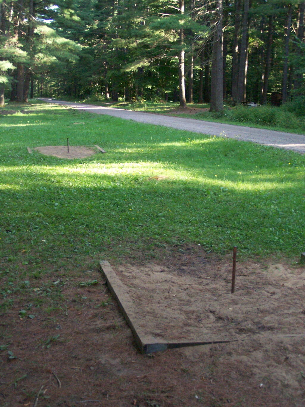
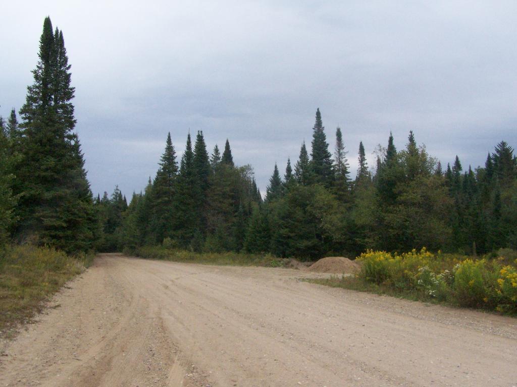
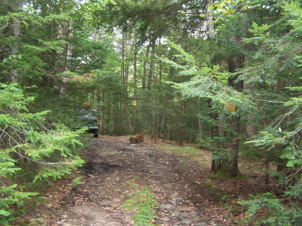
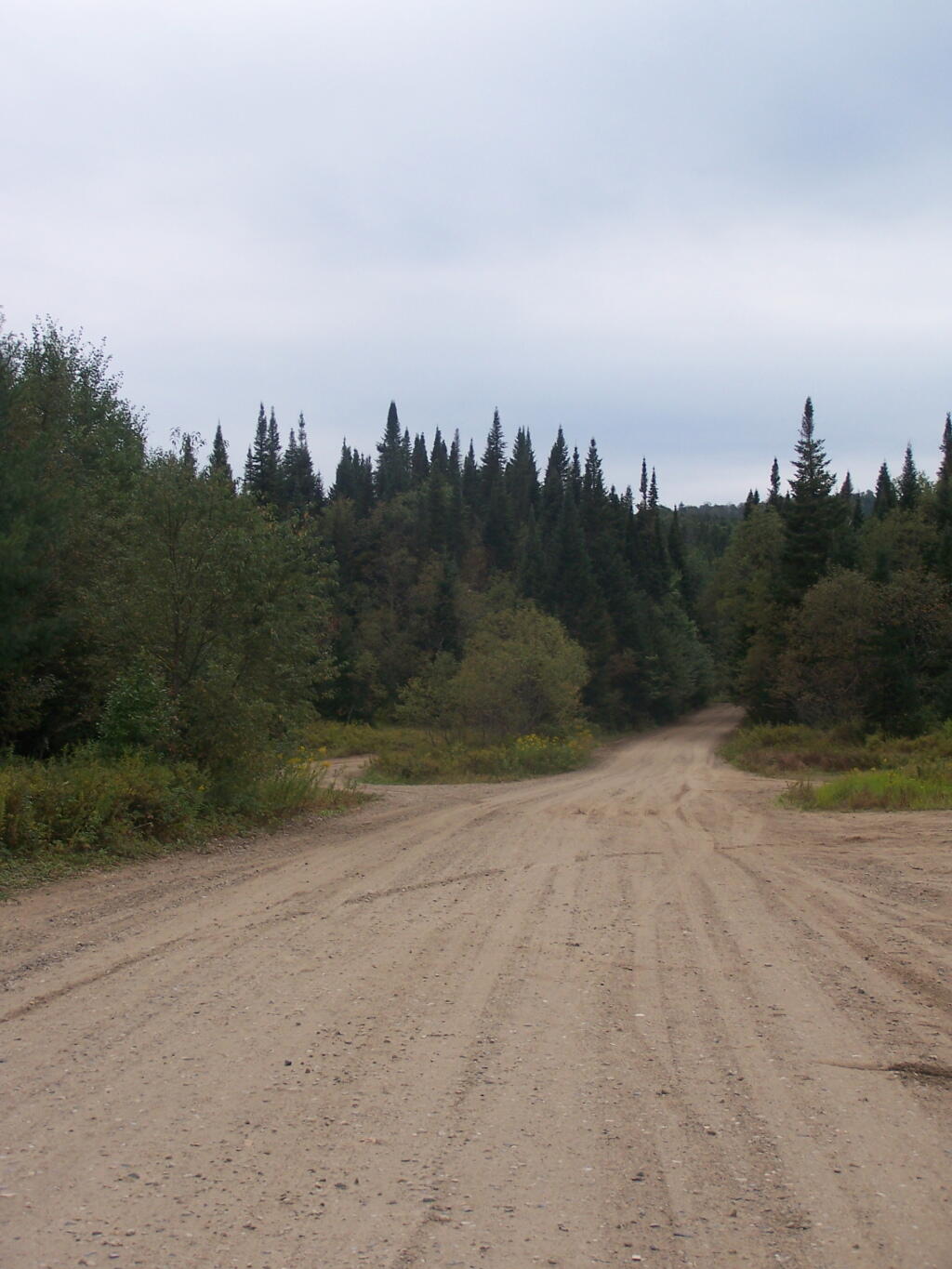
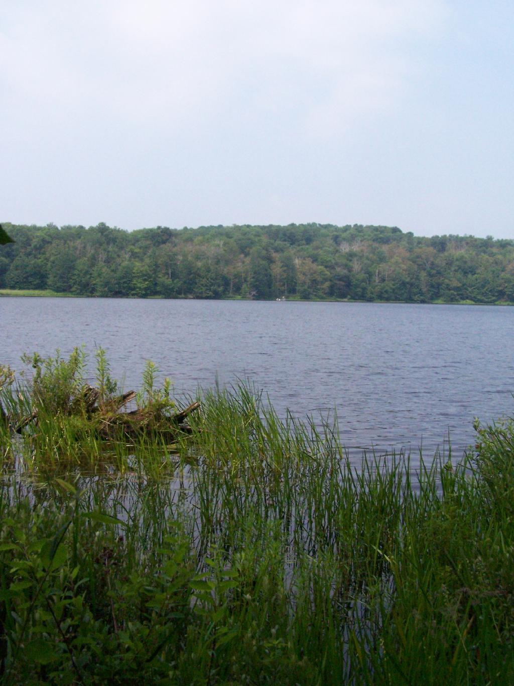
The most popular area in Ferris Lake Wild Forest is to camp along the 20-mile long Piseco-Powley, a spectacular seasonally-gated, state truck trail. Other roads in area provide more remote roadside camping opporunities and are listed below.
“The FLWF provides a variety of different camping opportunities. The interior portion of the unit contains numerous primitive tent sites that are located along the shores of the more popular lakes. These sites are designated with a yellow camping disk and often contain a fire ring. There are also a number of car accessible sites located along secondary access roads, such as the Powley-Piseco Road, G Lake Road, Mountain Home Road Extension and Edick Road. Most of these sites can accommodate small camper trailers. There are no lean-tos within the unit.”
Mountain Home Road Extension (Rough Truck Trail Past the Floe)
6
Powley-Piesco Road(Open Late Spring-December)
Northern Hardwoods Section Near Mud Pond
Central Section Near Marshlands of Powley Place
Southern Section Near Potholers
Please note that the roadside campsites are noted by “GLR”. The “GL” sites are traditional primative tent sites, beyond the gated end of G Lake Road, that you have to backpack into. This map is from the Ferris Lake Wild Forest UMP.
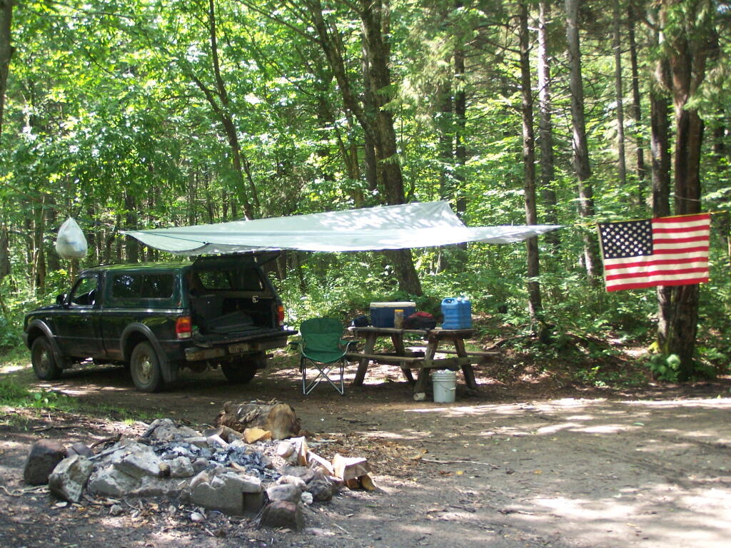
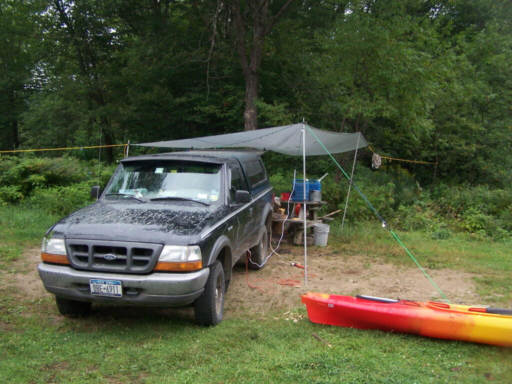
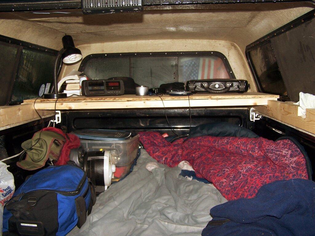
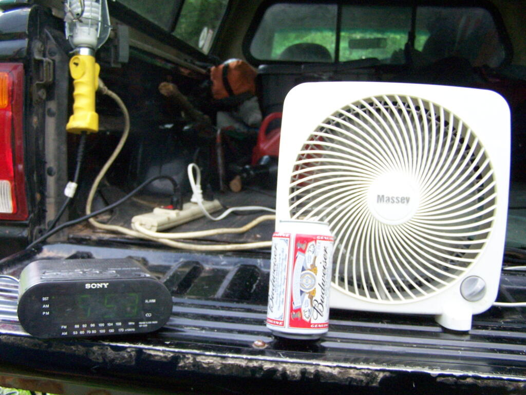
For wiring in my system, I use two sets of surge strips. One is plugged in the cab of the truck, directly to the inverter. This is used for charger and cords I want in the cab. When parked and camping, I then use a 12 foot extension cord / lead lamp cord, to run power out to the bed. There is another surge strip plugged in there. From there, is were I plug in all the appliances to the bed, along with the two other lead lamps that I use when camping.
Compact Florescent:
My Set Up & What You Need to Know.
Whether or not you believe in global warming or the price of your utility bill, compact fluorescent are a technology you want to embrace when truck camping. Truck battery technology — whether or not you have a deep cycle or starting battery is limited in the amount of current it can retrieve, prior to requiring you to start up the truck and generate more current.
Low-cost, high-efficiency compact florescent lighting (CFL) is the most important invention when it comes to truck camping. You can get a lot of light on your campsite using CFL technology, with minimal battery drain. For example conventional incandescent bulbs versus florescent lighting:
40 watt incandescent = 9 watt florescent
(50 watt incandescent estimated output of camp lantern)
60 watt incandescent = 12 watt florescent
100 watt incandescent = 24 watt florescent
You can therefore, produce a lot of light using compact florescent lamps compared to camp lanterns. You can have the best lit campsite around town! I swear any time I camp at Moose River Plains, people wonder why my campsite has so much light.
I typically use two lead lamps I bought at home depot for $9 with 24 watt florescent bulbs. The fixtures are rated for 75 watt incandescent bulbs, but with the cooler and lower energy consuming florescent bulbs, you can get more light output out of these fixtures then you normally would. Moreover, your saving your battery by the lower electricity consumption.
For inside the truck cap, I use a desk/reading lamp outfitted with a 9-watt compact florescent light. I have used bigger lamps, but under in the intimate space of the truck cap, you don’t need more light for reading other activities. Why waste energy, that you can conserve, and avoid having to start the pickup on up?
Other Electrical Appliances.
When I’m camping, I always bring a portable (desk) fan, a clock radio/alarm clock. I also often bring my laptop, charger, along with chargers for things like my mp3 player, cell phone, and portable weather radio. I could also bring more devices, and indeed I have plenty of current with an 800 watt inverter (remember 742 watts = 1 horsepower) to power almost anything within reason I could bring camping.
The Truck Radio:
One Other Appliance Not to Forget.
While the truck’s radio is built into the truck, it can be a great source of entertainment. Just roll down the windows, and crank up the tunes up! Be aware however that the radio uses a lot of electricity compared many of the appliances you might plug into your inverter.
ou might find it more energy efficient (meaning less idling the truck), if you get a portable boombox that you can plug into the truck. Many use a lot less wattage then a conventional car radio, and you can direct the sound where you want.
Horseshoe Lake is located on South Eastern Saint Lawrence County, on a dead end state highway, NY 421, a spur from NY 30 South of Tupper Lake. It offers 6 campsites scattered along the lake, with 6 others on nearby roads. It is also near the Bog River Flow Canoe/Kayak Area. Don’t expect to get a campsite on the lake in the afternoon, but the sites along the truck trail are rarely used.
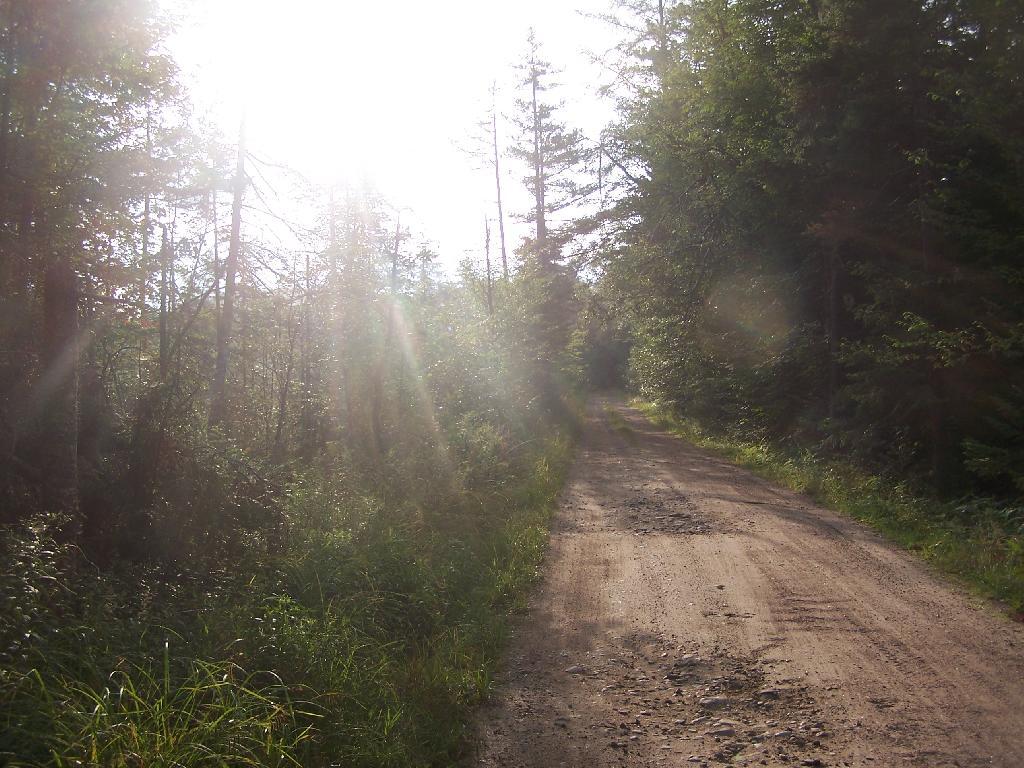
Six Miles to Horseshoe Lake. This is the turn off for NY 421, one of the strangest state highways in the state. It is a dead ended highway, that leads to gravel roads around Horseshoe Lake and Bog River Flow. It is very twisty and narrow, and portions have not been resurfaced in over 50 years.
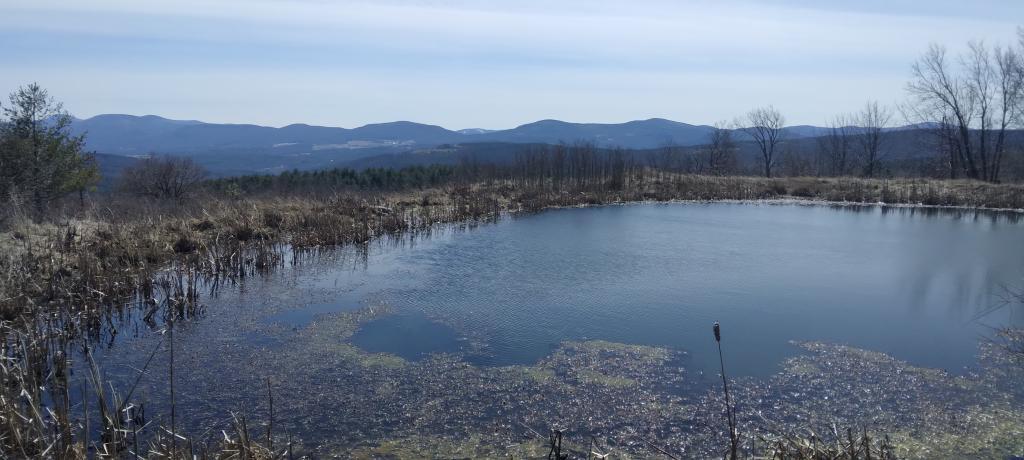
After The Pavement Runs Out. About a two miles from the paved end of NY 421, I camped. This is first thing in the morning, with the sun shining down from the wetlands near where I camped.
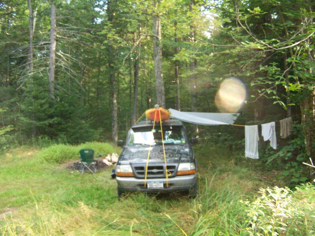
Campsite No 9. This is Campsite No 9 at Horseshoe Lake, on an Unnamed Adirondack Park Road, about two miles from the end of NY 421/Paved. I could not get site on the lake, arriving at 5 PM at night, but it’s still a nice campsite. This area of Saint Lawrence County is so remote, only 2 big pickup trucks, and logging truck passed by in the 12 or so hours I was there.
Not Fancy Campsite. By no means was Campsite No 9 on the Unnamed Road, particularly fancy. But it provided a place to camp, and was a three minute drive down to the lake. I could have gotten a spot on Horseshoe Lake most likely had I arrived in the morning, as it seemed like campsites tended to clear out in the morning.
Road Crosses Railroad Tracks. This is where the weird hair-pin turn appears on maps at the end of NY 421. I’m not sure why it follows this route, as the terrain is flat, but maybe at one time there was an inholding or private home located in here.
Horseshoe Lake in Morning. Heading swimming in a couple of minutes. The water was real nice.
Cowboy Hat, Swimming Trunks, Work Boots. Not that you could get the total picture from this image. But the cowboy hat and work boots came off before the dip. A real country boy thing.
Unnamed Dirt Road. This is the road that goes from Horseshoe Lake to Mount Arab / Piercefield.
Wetlands Along Horseshoe Lake. This is about a mile after the pavement runs out on NY 421, just after the Bog River Flow / Lower Lows Dam Road turn-off
Here is a map of where I camped, on the truck trail, west of Horseshoe Lake.
I normally am not a fan of rain when I am camping. I don’t like getting wet, and rain can put a damper in plans to go hiking. I worry about rain washing out the roads, or making the mud so deep and slippery the roads become impassable and I’m stuck on whatever truck trail I am currently on.
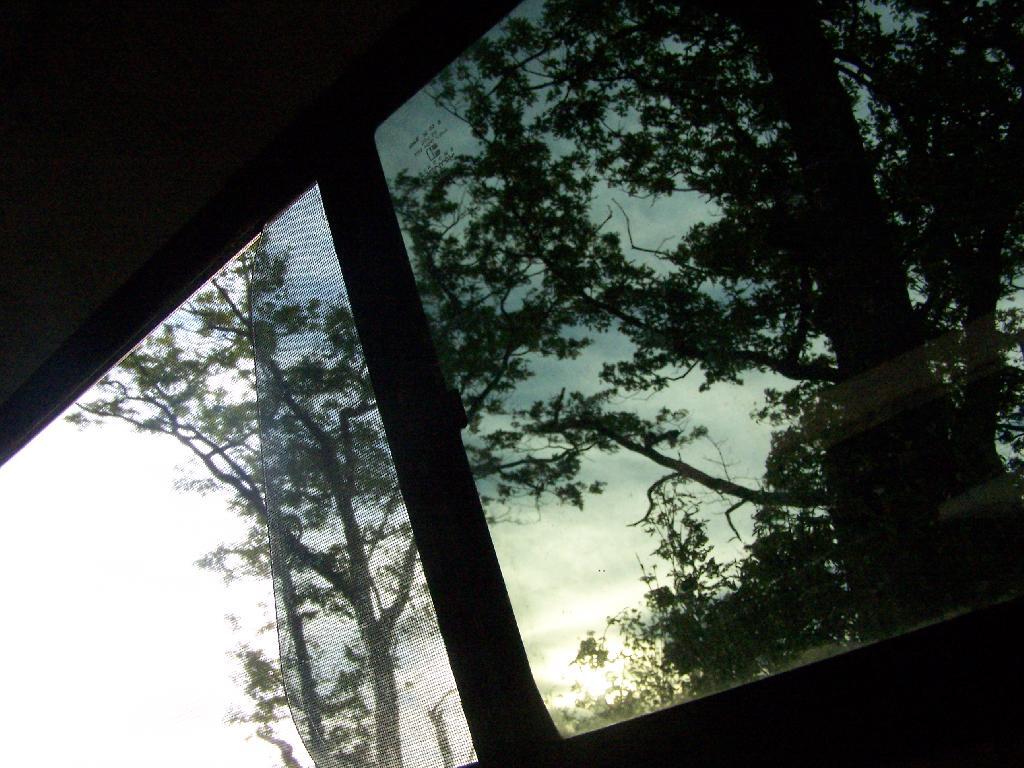
My truck cap leaks. By at least one of the windows, the fiber glass has shrunk around the window — probably from my use of Sterno to heat the cap — and allowed water to leak in whenever it rains. The wet isn’t bad, but it does make it damp.
The windows can’t be open when it rains — at least heavily — because of the slant to make the truck cap more aerodynamic. It gets humid under the cap, with no air flowing around to make up for the moist air I breathe out.
I worry about severe thunderstorms, as the I know laying in the steel truck bed, in a severe thunderstorm offers no protection from lightening, and the fiberglass would tear and shatter if a tree came down.
Yet, worst of all, it can be entrapping. There is relatively little room, especially with gear. I might have enough room to sleep in the truck cap, but it really isn’t big enough for doing any real living inside, with nowhere to stretch or move, without flipping down the tailgate.
Regardless, I kind of like the sound of rain on the truck cap. I can be loud, but it also is so soothing.
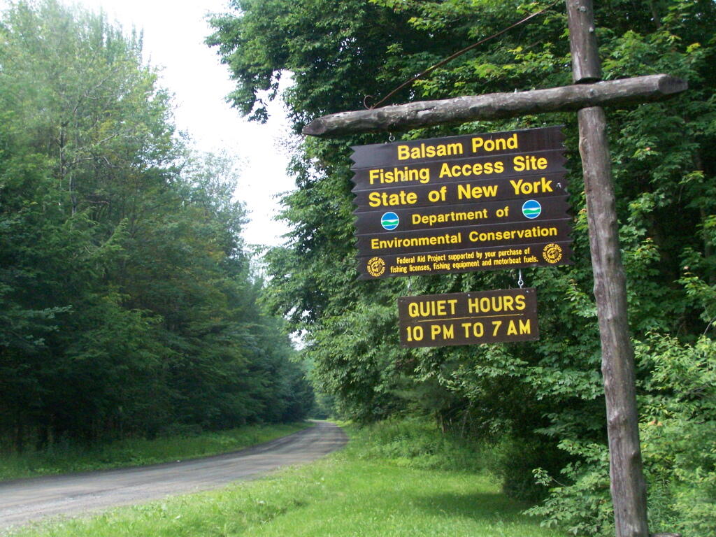
For the first weekend of summer, I decided to go out to Central NY for a weekend. The original plan was to spend one day at Brookfield Camping Area, but it was too crowded, so I decided to head south west to Balsam Pond in Chenango County, outside of Norwich and Pharslia.
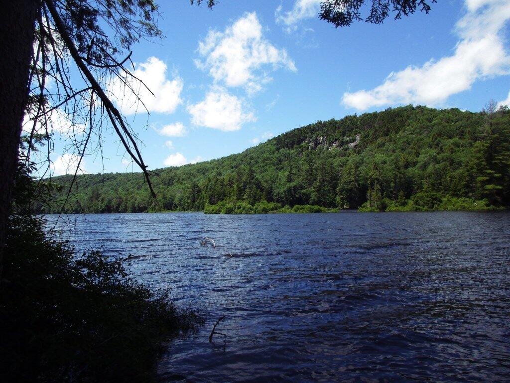
Balsam Pond is a man-made lake, popular for fishing and free camping. They also allow motor boats on the lake, so during the day, you’ll hear boats roaring up and down the lake.
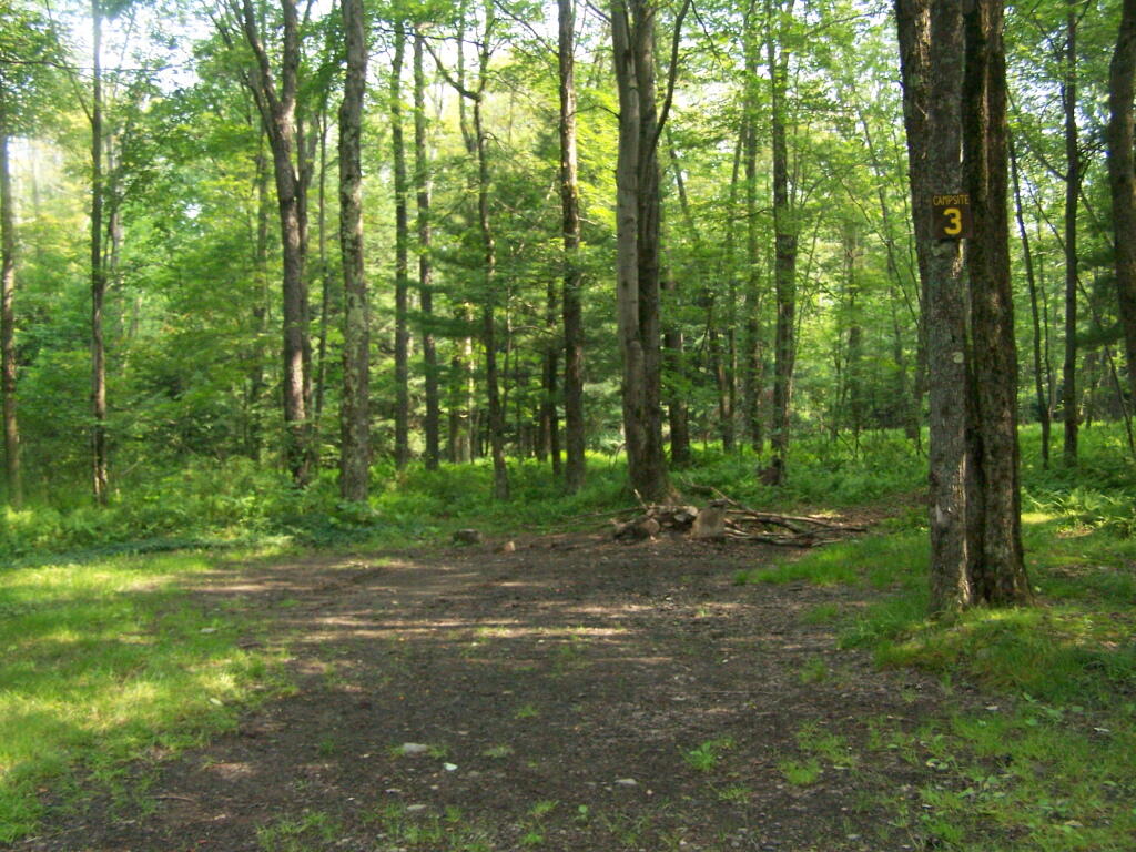
While the weekend was pretty rainy, Balsam Pond turned out to be quite nice, and popular but not full, as was the case last year. This time I choose to set up in Campsite 3.
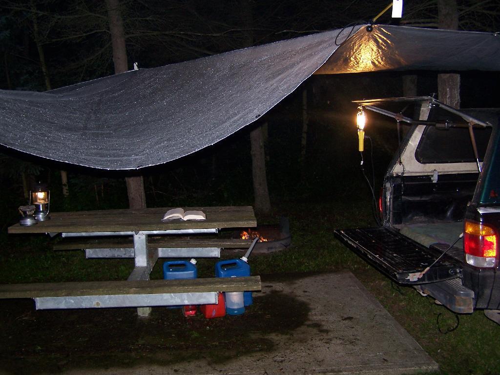
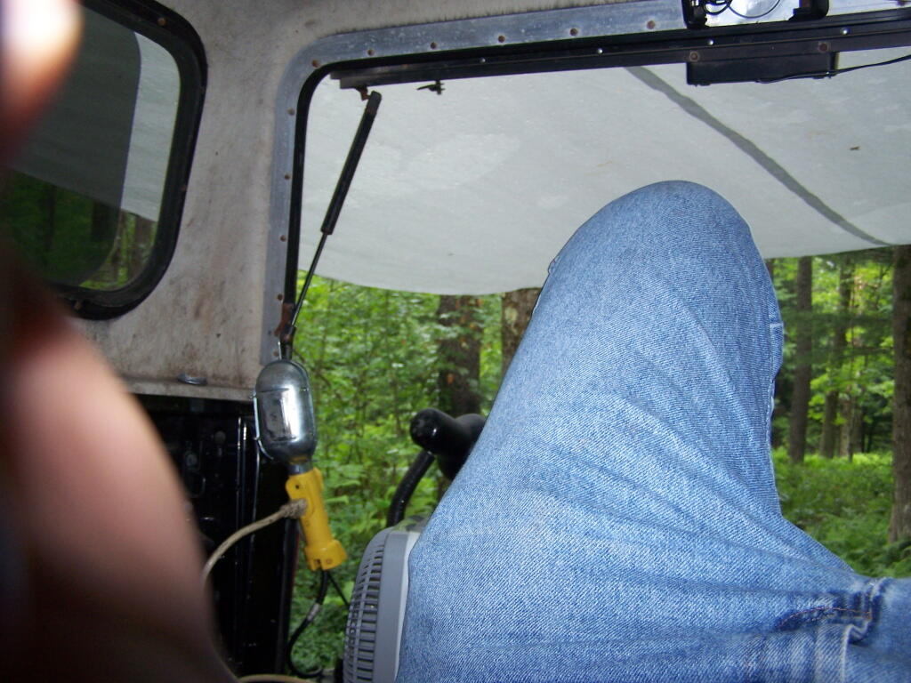
Soon after getting there, it was raining. I quickly got the tarp up, and was hanging out in the back of my pickup, reading a book.
In the evening, the rain stopped, although the clouds remained as I walked down by the lake.
In the morning I got up, and hopped in the lake for a quick dip to get cleaned off. Hazy and cloudy in the morning, but no rain.
I drove up north to Truxton in Cortland County, to check out the ever so beautiful Labarador Hollow, but decided with the rain, not camp up there. There where some roadside campsites there, but no lake to cool off up there, so I ended up spending another day at Balsam Pond.
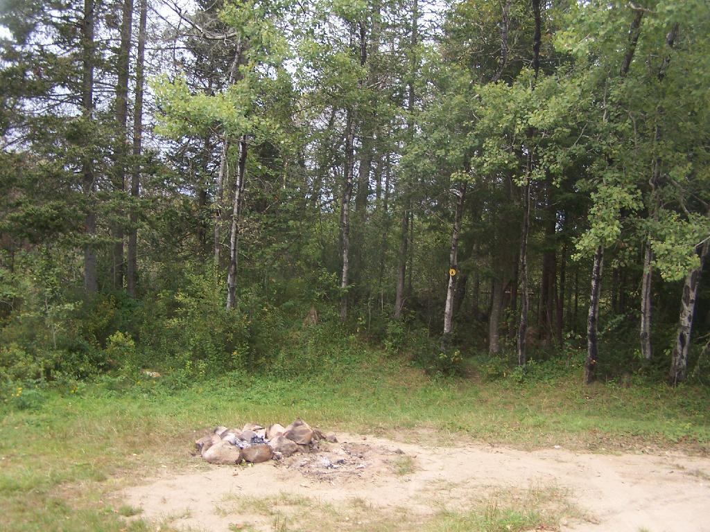
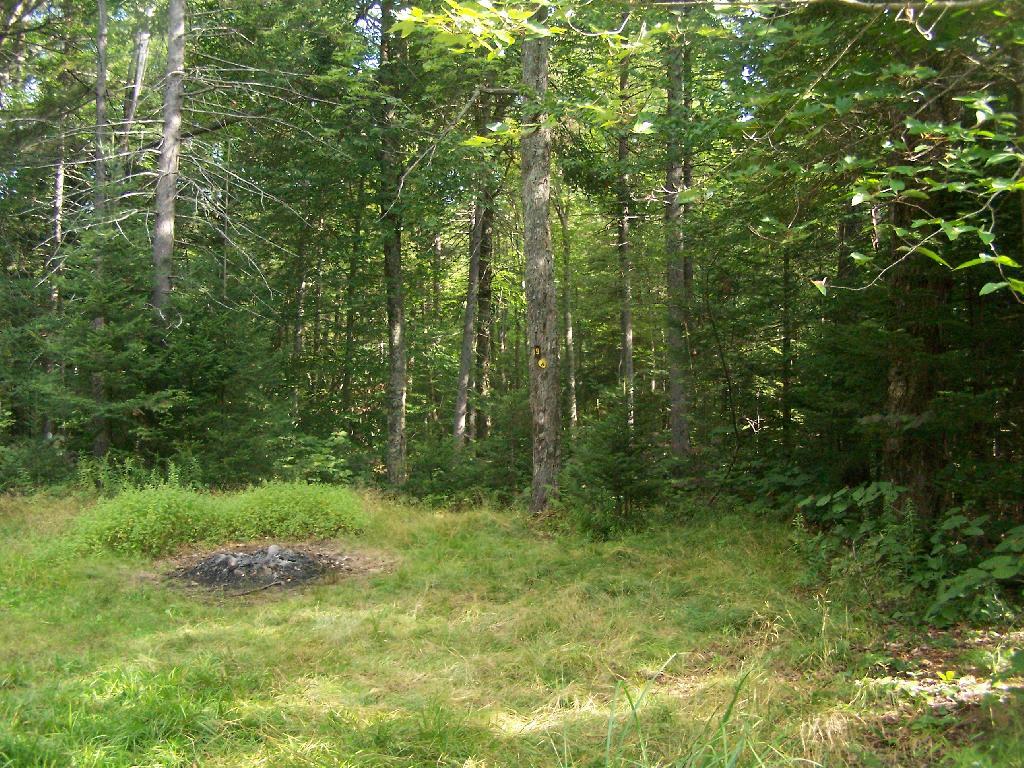
The next evening was nice, with not much rain, but very cloudy, damp and dark. But I got a nice fire going, and it didn’t involve burning too much plastic but mostly wood, under the Christmas lights.
Even by morning of the June 28th, the weather wasn’t perfect but so be it. This time of year, is not known for it’s perfect weather conditions after all.