fodder

Goodnow Mountain

Goodnow Mountain πŸ—» 🚢‍♀️

A couple of weeks ago I hiked up Goodnow Mountain, on a beautiful clear afternoon, that by the time I reached the mountain it started to cloud up and the humidity started to increase. I had previously in the morning attempted to hike up Giant Mountain in the High Peaks, and wanted to do something easier for the afternoon.

Goodnow Mountain is located at the SUNY ESF (Environmental Science-Forestry) College, just south of the Adirondack High Peaks on NY 28, just to the west of Newcomb. It’s a bit of a drive from the Adirondack Northway from the east or even a little ways from Long Lake to the west, but well worth it for the views.

 Trailhead Sign

About a quarter mile up the trail you pass an interesting tree grown over a rock. This is not as uncommon as you might think in the Adirondacks where the soils are poor and the ground is rocky, and trees seek to put down more roots to pick up nuetrants.

Tree Grown Over Rock

At about 1/2 mile you reach the old woods road that at one time, decades ago, provide vehicular access to the tower for forest rangers. Part of the trail is flat, but then it keeps steeper and erosion is noticable on the old road bed, no longer passable by anything then ATV in an emergency.

Trail Follows Old Woods Road

Rougher Part of the Trail

Further up the mountain, the trail follows a series of boardwalks that keeps most of the trail out of the mud and the muck.

Boardwalk

Then you reach an old abandoned barn, a well, and some interesting old debris like what appears to be a tank from a hot water heater storage unit.

Old Barn on Goodnow

Old Well

Old Water Tank

You ascend a ledge, with some limited views to the south.

South East from Ledge

Then their is a thick planation of White Pines along the trail as you make one relatively short ascent to the firetower.

Thick White Pines

Eventually at the last possible moment, you break through the White Pines to see the Goodnow Firetower, and almost instantly want to start climbing it for the views, unless your suffering from heat exhaustion, then you might want to look for the relatively limited shaded but open sections on the mountain.

Goodnow Firetower

Open Window

SUNY ESF has restored to the Ranger’s cabin, and the porch is a farely popular place to sit, enjoy the view, beat the heat for a few moments.

SUNY ESF Ranger's Station

There are many interesting views from the firetower. Here are the High Peaks looking North, the Vanderwhacker Wild Forest to the east, Kempshall Mountain / Long Lake to the west, and Blue Mountain / Blue Ridge to the South.

High Peaks and Newcomb

Vanderwhacker Wild Forest

South from Tower

Here is a map of the hike.

The Catskill Wilderness Areas

Trees and Mountains

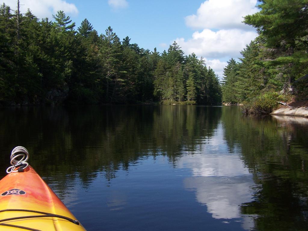
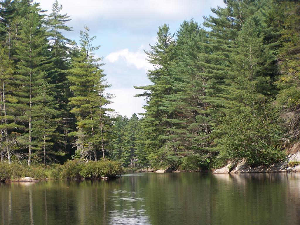
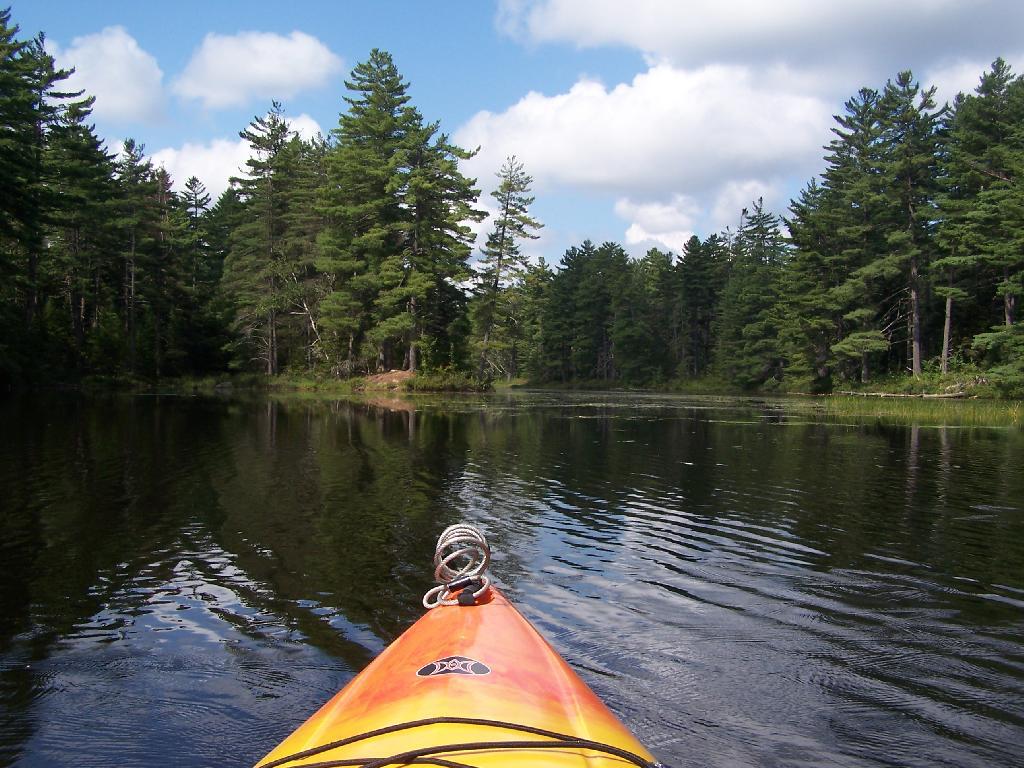
The text of today’s fodder is based on the Catskill Park State Lands Master Plan, as revised in 2008. Maps were rendered by myself, using Quantum GIS and DEC Lands and Forests data.

Big Indian Wilderness

(Formerly Big Indian – Beaverkill Range Wilderness Area)

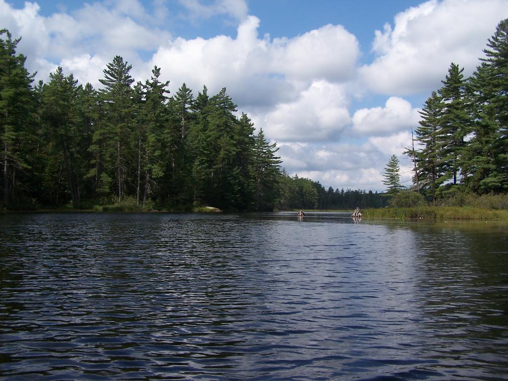
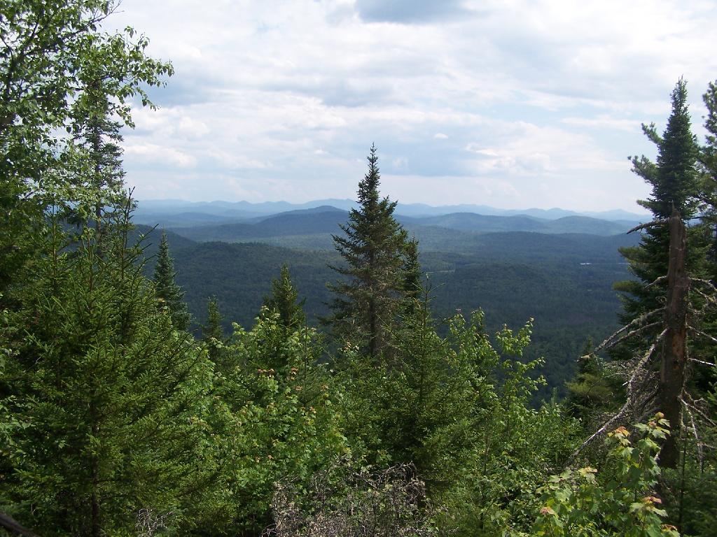
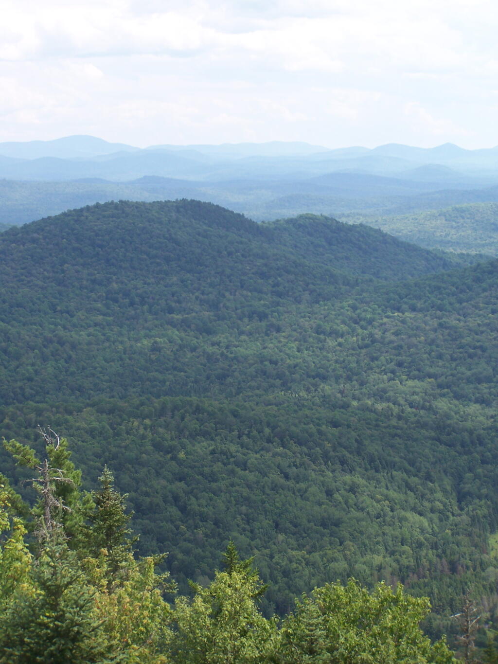
This wilderness is located in the Towns of Hardenburgh, Denning and Shandaken in Ulster County. It lies generally west of Oliverea and the Frost Valley Road, south of Belleayre Ski Center, east of Seager and Hardenburgh and north of Willowemoc and Claryville. The area ranges in width from 1 to 5 miles, is about 19 miles long and contains approximately 33,500 acres of land. Elevations range from 1,500 feet in McKenley Hollow to 3,840 feet where the state boundary crosses Doubletop Mountain. The mountains in the northeastern portion of the area are quite rugged, while those to the south and west are more characteristic of high hills. Water from the area flows into three New York City water supply reservoirs and the Delaware River Basin. Nine mountains or ridges with elevations of over 3000 feet make up the area.

Peaks

Doubletop* 3,860′
Haynes 3,420′
Big Indian 3,700′
Spruce 3,380′
Fir 3,620′
Eagle 3,600′
Hemlock 3,240′
Balsam* 3,600′
Beaver Kill Range 3,377′

* Maximum elevations given are not necessarily located within the Wilderness Area.

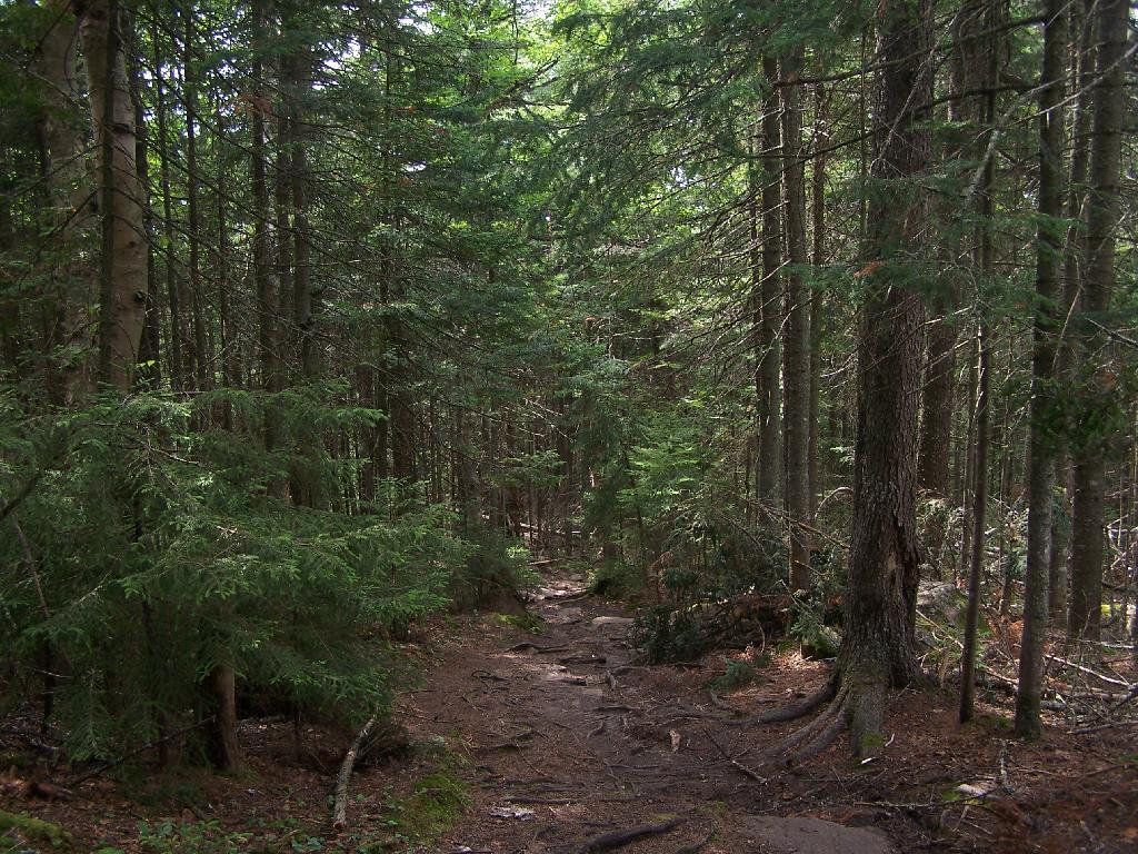
The forest cover is predominantly hardwood mixtures in various associations. Spruce and fir, while present at some of the higher elevations, are less noticeable here than in other Catskill wilderness areas.

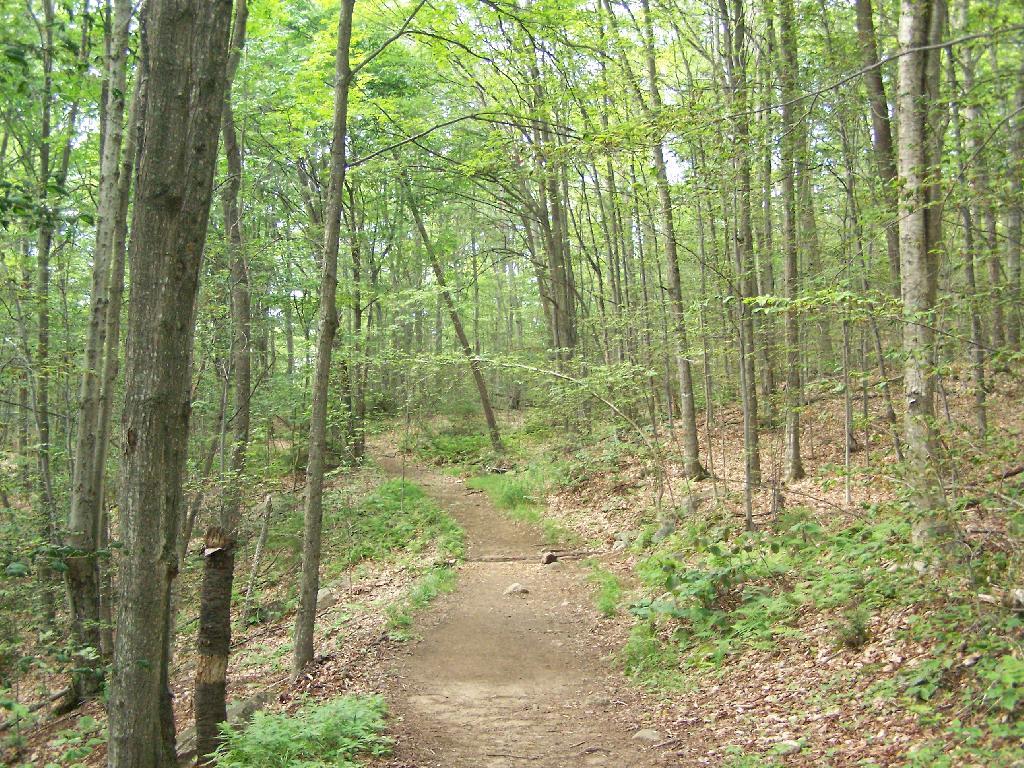
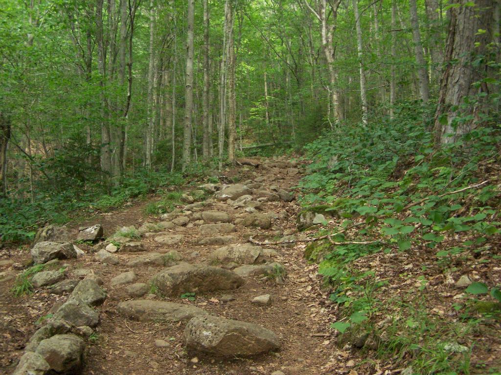
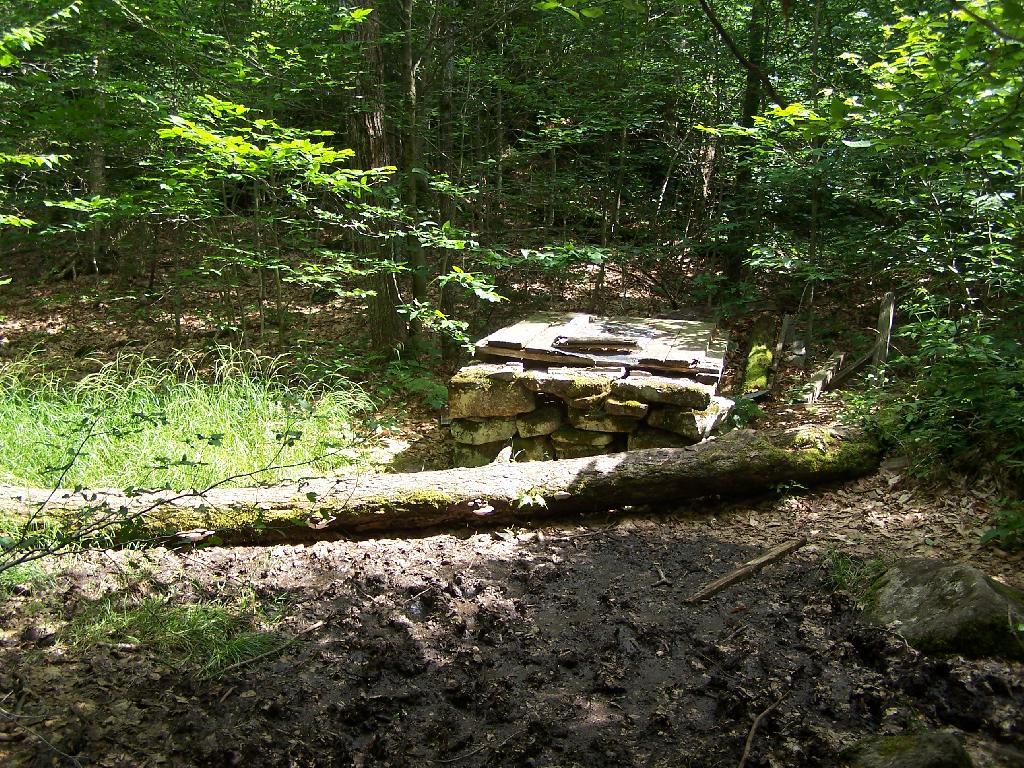
Interior facilities consisting of foot trails and lean-tos are generally considered adequate.

Area statistics:

Approximate Area 33,500 Acres
Roads (non conforming) 1.4 Miles
Foot Trails 29.4 Miles
Lean-tos 6
Designated Campsites 5
Parking Lots 5
Public Use (visitors/year) 4,500
Exterior Boundary Line 67 Miles
Minimum Elevation 1,500′
Maximum Elevation 3,840′

Non-conforming uses:

Motor vehicle use of Black Bear Road from the wilderness boundary to Fall Brook Lean-to.

A UMP for this area was completed in June of 1993.

Hunter – West Kill Wilderness

(Formerly West Kill – North Dome Wilderness, Ox Clove Wild Forest, and a portion of the former Hunter Mountain Wild Forest)

The unit generally lies within the following boundaries: New York State Route 42 on the west, the Shandakan Wild Forest and NYS Route 28 to the south, and NYS Route 214 on the east. The northern extent of the unit is County Route 6, and continues along a line 100′ parallel to, and south or east of, the edge of Spruceton trailhead parking area and the centerline of the Spruceton Truck Trail, to the junction of the Colonel’s Chair Trail. A corridor, 100 feet either side of the center line of the Spruceton Truck Trail, from the Colonel’s Chair Trail to the summit of Hunter Mountain, culminating in a circle 175′ in radius from the center of the chimney on the observer’s cabin shall be within the Rusk Mountain Wild Forest.

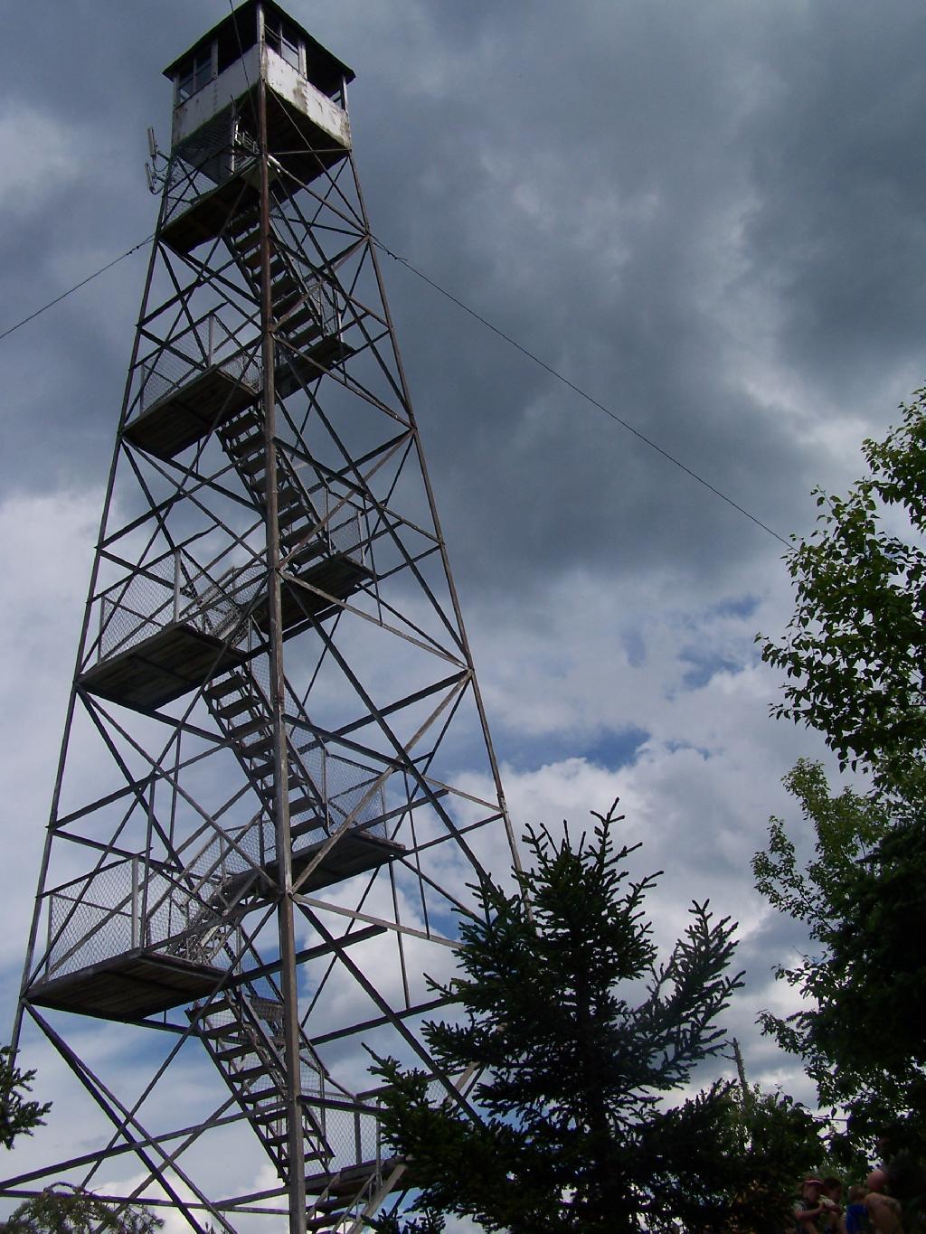
The unit contains approximately 27,000 acres of land, and inside it’s boundaries are found the named mountain peaks of Balsam, Sherrill, North Dome, West Kill, Sheridan, Hunter and Southwest Hunter. Hunter Mountain is the second highest peak in the Catskills at 4,040 feet, and portions of it’s summit, along with a fairly extensive area on the summits of West Kill, North Dome and Sherrill Mountains are within the Catskill High Peaks Bird Conservation Area, and are of special significance in that they provide habitat for high elevation spruce-fir inhabitants such as Bicknell’s Thrush and the Blackpoll Warbler, among others.

There are currently two lean-to’s on the unit, the Diamond Notch lean-to located just off the Diamond Notch Trail, and the Devil’s Acre Lean-to off of the Devil’s Path Trail. Waters from this unit drain into Schoharie and Esopus Creeks and then into the Schoharie and Ashokan Reservoirs, which are in the New York City water supply system.

Area statistics:

Approximate Area 27,000 Acres
Foot Trails 18 Miles
Lean-to’s 2
Parking Lots 5
Minimum Elevation 920′ Maximum Elevation 4,040′

Indian Head Wilderness

(Formerly Plateau Mountain – Indian Head Mountain Wilderness Area)

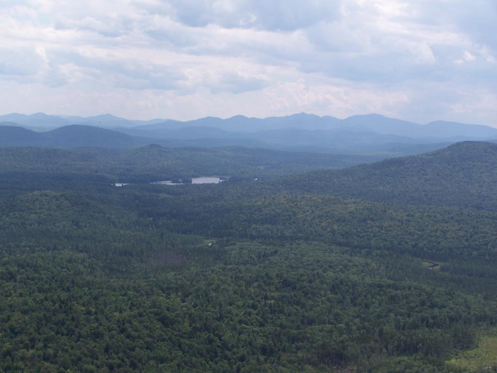
This wilderness is located in the Town of Hunter, Greene County and the Towns of Saugerties and Woodstock, Ulster County. It lies generally west of the east boundary of the Catskill Park, south of Platte Clove, east of Devil’s Tombstone Campground and north of Lake Hill and Shady. The area ranges from 1 ½ miles to 3 ½ miles in width, is eight miles long and contains approximately 16,800 acres.

Elevations range from 900 to 3840 feet and the four major mountains in the area are visible against the skyline from all directions. Echo Lake, the only natural lake in a Catskill wilderness, is located in the east-central portion of the area. Water from this eastern section flows into the Kingston and Saugerties water supply reservoirs, while drainage from the central and western section flows into two New York City water supply reservoirs. Six named mountain peaks over 3,000 feet in elevation dominate the area.

Peaks

Plateau 3,840′
Indian Head 3,573′
Sugarloaf 3,800′
Olderbark 3,440′
Twin 3,640′
Plattekill 3,100′

The forest cover varies from extensive oak stands on the eastern most slopes to mature spruce-fir on top of Plateau Mountain. An excellent mature stand of northern hardwood and hemlock occupies the slopes south of the Saw Kill.

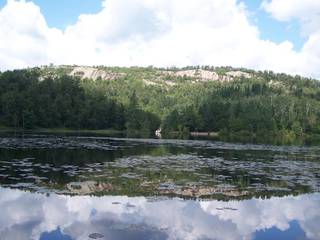
Echo Lake, unique to the Catskill wilderness, is very popular for undeveloped camping. A small number of scattered primitive tent sites with fire rings have been established and public camping is limited to their capacities.

Public access is provided by several foot trails entering the area, including the old road from Meads to Overlook Mountain.

Area statistics:

Approximate Area 16,800 Acres
Roads 6.6 Miles
Foot Trails 24.1 Miles
Cross-country Ski Trails 5.6
Lean-tos 3
Designated Campsites 10
Parking Lots 1
Public Use (visitors/year) 8,000
Length of Boundary 33 Miles
Minimum Elevation 900′
Maximum Elevation 3,840′

A UMP for this area was completed in October of 1992.

Slide Mountain Wilderness

(Formerly Slide Mountain – Panther Mountain Wilderness Area)

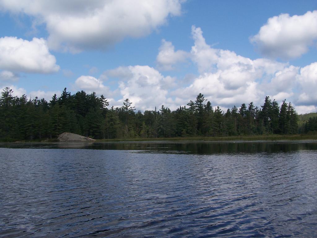
This wilderness is located in the towns of Shandaken, Denning and Olive in Ulster County. It lies generally south of NYS Route 28, west of West Shokan, north of the Peekamoose Road (County Route 42) and east of the Frost Valley Road (County Route 47). It surrounds the Woodland Valley Campground and abuts the Sundown Wild Forest to its south. This area ranges from 1 to 10 miles in width, is about 13 miles long, and contains approximately 47,500 acres of land. The wilderness boundary is 118 miles long.

The terrain is rugged and steep with elevations ranging from 1,100 to 4,180 feet. All water draining from the area eventually reaches three New York City water supply reservoirs by way of the East and West Branches of the Neversink River, Rondout Creek and Esopus Creek. Twelve named mountain peaks with elevations over 3000 feet exist in the area. Of these, six may still be considered trail-less to the extent that they have no marked and maintained trails.

Peaks with Trails

Slide 4,180′
Peekamoose 3,843′
Cornell 3,860′
Wittenberg 3,780′
Table 3,847′
Panther 3,720′

Trail-less Peaks

Lone 3,721′
Rocky 3,508′
Friday 3,694′
Van Wyck 3,206′
Wildcat 3,340′
Balsam Cap 3,623′

The forest cover consists of nearly every possible mixture and association of hardwood and softwood trees native to the mountain region. While hardwoods predominate higher elevations are often covered with red spruce and balsam fir.

This area receives more public use than any other Catskill wilderness. Superb vistas are found on Slide, Wittenberg, Cornell, Giant Ledge and Panther Mountains. Access via foot trails is available from the north, south, east and west.

Area statistics:

Approximate Area 47,500 Acres
Foot Trails 35.3 Miles
Lean-tos 3
Parking Lots 10
Designated Campsites 29
Public Use (visitors/year) 23,000
Length of Boundary 118 Miles
Minimum Elevation 1,100′
Maximum Elevation 4,180′

A UMP for this area was completed in March of 1987 and revised in October of 1998.

Windham – Blackhead Range Wilderness

(Formerly Blackhead Range, and North Mountain Wild Forests, and portions of Windham High Peak, and Black Dome Valley Wild Forests)

The combination of these Wild Forest areas creates the Windham – Blackhead Range Wilderness Area, which lies within the Greene County towns of Cairo, Hunter, Jewett, Windham and Durham. The classification of these former Wild Forest areas was changed to Wilderness because their combined area comprises approximately 17,100 acres and contains rugged, high elevation land that clearly exhibits wilderness character. This newly classified area has seven named mountain peaks over 3,000 feet in elevation.

They are:

Peaks Black Dome 3,980′
Windham High Pk 3,520′
Blackhead 3,940′
Stoppel Point 3,420′
Thomas Cole 3,940′
Burnt Knob 3,180′
Acra Point 3,100′

The unit also contains six unnamed peaks over 3,000 feet, which range from 3,040 feet to 3,540 feet in elevation. Of the five highest peaks in the Catskills, three – Black Dome, Thomas Cole and Blackhead – are in this unit. This concentration of 13 peaks over 3,000 feet, within an area of approximately 28 square miles, with limited access, structures and improvements (30 miles of maintained foot trails and two lean-to’s) make the Windham – Blackhead Range Unit an area with excellent wilderness character.

A fairly extensive area of old growth forest can be found on this unit at the higher elevations, along the ridge stretching from an area west of Thomas Cole Mountain to Blackhead Mountain, and on Windham High Peak. The presence of this old growth forest, with its distinctive flora and fauna, add to the wilderness character of the unit. The unit also includes the headwaters of the Batavia Kill and, to the south over the Blackhead Range, the headwaters of the East Kill. Both of these rivers flow into Schoharie Creek, and are an integral part of the New York City Watershed system.

The western boundary of this unit shall be the east side of the Elm Ridge Trail, Black Dome Trail leaving it within the Elm Ridge Wild Forest, continuing north along the drainage to the Catskill Park boundary. The southern boundary of the unit shall be the Escarpment Trail approximately one half mile south of Stoppel Point to a point on the Escarpment Trail where it comes closest to the eastern Forest Preserve boundary. Both North Point and Stoppel Point will be within the Wilderness area. Lands to the south of the south edge of the Escarpment Trail in this area, will be in the Kaaterskill Wild Forest.

Because the Windham – Blackhead Range Wilderness surrounds the smaller Colgate Lake Wild Forest Unit, and because they are linked together by public use, the Unit Management Plans for the two units shall be contained in one document.

Area statistics:

Approximate Area 18,0000 Acres
Foot Trails 30 Miles
Lean-tos 2
Parking Lots 1
Minimum Elevation 980′
Maximum Elevation 3,980′

Don’t Forget to Vote in School Board Elections

Many of us forget about School Board Elections.

They are in a strange time of year, the middle of May, as many of us are thinking more about our summer plans, rather then critical questions of local government spending. School board elections, as local elections, are poorly covered by the news, and often are uninteresting. You may no longer attend high school, and you may not have kids in school. Yet those are not good reasons for not voting.

School Board Elections, School Budget Vote, and Library Budget Vote are all important things to vote on for several reasons including:

  • Low turn out, local elections mean your vote can change results easily.
  • Your decision hits your pocketbook directly, especially if pay property taxes.
  • Only chance to directly comment on government spending — should we invest more in our public schools or further increase the crushing tax burden on working folk?

None of us have perfect information. Many years when I vote in school board elections, I don’t even know whose running for school board, and leave those ballots blank. If your concerned about government spending and waste, or think schools and the students being educated are getting cut too much, then either vote Yes or No. It’s that simple.

Don’t Forget to Vote!

Gasoline is Dangerous

I don’t know how many times I’ve told people that if you want to play with fire, never mess with gasoline. Diesel. Fine. Plastic. Whatever, just don’t burn yourself when you get melting and burning plastic on your skin. Blowing up aerosol cans. Fine, just make sure not to start a brush fire when you send partially burnt trash over your head. But gasoline — be aware!

What makes gasoline such a dangerous product is that it’s vapours are very explosive. Gasoline is relatively easy to vaporise as a fuel — you can vaporise it just by pouring it out of a container. And that vapour is very explosive. That’s why we use it as an engine fuel. It’s really easy to burn, and to burn cleanly under controlled conditions.

 Burnin\' Wood

Yet, you figure out the sheer amount of power that a gasoline engine gets out of minuscule amounts of gasoline, you can understand why it’s so readily explosive. The explosion can not only provide controlled propulsion, but it can also blow up and send objects in towards your face, and that can be quite painful, to say nothing about the burns from the flash of fire.

Few common things are as dangerous as gasoline. Diesel doesn’t vaporise under normal conditions. You have to heat up diesel and apply compression to it for an explosion to occur. It’s relatively safe to pour diesel on some trash to get it burning. Diesel will burn, and it will burn hot, once it’s caught from something else burning, but it won’t explode.

 Burnt

Gasoline in contrast does vaporise under normal conditions. It’s vapors will explode with an incredible amount of force. Pour gasoline on some trash, let it sit for a few seconds, toss a match at it from a half a dozen feet away, and boom. Hope you don’t have anything that will act as shrapnel coming towards you. And don’t do it in any kind of enclosed space that is likely to contain the explosion — as much fun as it is to watch.

If your ever working on anything that burns gasoline or similar fuel like Coleman fuel. Be very careful, if you care about your life, and don’t like visiting the Westchester Burn Unit.

  • Always check for fuel leaks with soap before lighting a white gas stove or other similar device
  • Don’t use gasoline to start fires, especially in enclosed spaces, or with anything you don’t want to hit you when it explodes.
  • Never pour gas in anything near flame or spark.

Camp Stove

These are all things we’ve learned as children. Yet the sheer fun of watching shit burn and explode, sometimes gets the best of us as adults. Just please remember, that gasoline goes boom and you don’t want to be in path of boom.

When You Are In The Country?

There seems to be a magic line that separates the country from the cities. There is a point where you get far enough from the city, where farms aren’t surrounded by suburbia or concerned with the suburban way of life. There might still be long distance exburbian commuters out in these parts, but they are essentially rural and free of the control of the big city.

There are several things that come to mind when you are truly in a rural place:

Speed Limit as 55 MPH. The state speed limit starts in almost all non-hamlet parts of rural towns. If the vast majority of roads in the town can be driven essentially as fast as you dare, then your in a rural place.

No Local Police Enforcing Local Laws. Rural communities may still have their own code inspectors and assistance from state police, but there is not the police presence that exists in the big cities. There simply is not the crime in the country, and lots of people leave their keys in their ignition.

Agriculture Not a Quaint Part of the Past. In most truly rural towns agriculture is not just a quaint hobby of people, but is a professional occupation of a number of citizens. In many rural towns there are far more hobby farmers then professionals, but the agriculture preformed on both farms is different then closer to suburbia, and often involves big animals.

People Burn Their Trash. While fewer and fewer people still have burn barrels, particularly in exurbian areas, in truly rural areas the vast majority of people still take their trash out back and burn it. Trash pickup simply is incompatible with the way of life of Rural America.

Big Pickups and Quads. People out in the country are more likely to own pickup trucks and quads. There is a need for vehicles that can haul things, and there is a culture that supports the pickup truck way of life. And people like playing our in nature with their snowmobiles and quads. Not to mention it’s fun to chase cows around on the quad.

Large Segments of Population Don’t Go to the City. The exburban and suburban commuter regularly drives to the city, rural people do not. There may be some exceptions, and most people do come together in a community regardless of where they live, but more often then not it’s a small city of less then 30,000 people.

Forest Road Hardened for Drilling Rigs

In other words, a large segment of the rural population is wild and free, and not controlled like people in the big city. They aren’t limited in their possibilies or their land, or how they must live their life.

Fun NY Geographic Facts

The Town of Greenville is 39 sq miles, the Bourgh of Manhattan is 33 sq miles. A few more cows in Greenville though then Manhattan.

Staten Island about the size of Altona in Clinton County at 101 square miles. A few less wind turbines in Staten Island, and far less hot air.

Swimming Hole

All of New York City would fit into the area of Town of Long Lake, Webb, or Brookhaven.

The Town of Westerlo is approximately the same size as the Borough of Bronx at 58 square miles. Yes, but do they have Dick Rapp as their town supervisor?

The biggest town area-wise in New York State is Brookhaven on Long Island at 532 sq miles. Town of Webb (Old Forge) has 483 sq miles.

Barn Silloute Against TriMount

The difference between the year-round population of the Town of Webb and Town of Brookhaven is about the population of Albany County at 295,000 persons.

Yonkers is about the same size as Albany, NY at 21 square miles.

The typical town in Western NY is 36 square miles and is a nice square shape. Not all though as geography sometimes over rides that nice square shape.

Walk on By

The largest town in Western NY is Bath, NY at 101 square miles, or about the size of Staten Island.

Owego, near Binghamton is the largest Central New York town at 101 square miles. It should not be confused with Oswego which is near Syracuse.

Where I Would Eventually Like to Live

Yesterday, I gave you some of my thoughts about the urban life — what I like about it — and the key elements that I think I find enjoyable about it from connectivity and accessibility of products and services nearby by walking or taking public transit.

Peru Farms

Yet, I’m in my heart a country boy, and I love spending time in the woods.

  • Live in a small community, with a small city (of around 20,000 persons) within 15-30 miles.
  • Own inexpensive land in hilly, rocky area, maybe 25-50 acres of woodland/pasture that I could run a couple head of cattle on, ride ATVs around.
  • Hobby farm a little bit, grow some of my own food, kill and eat my own animals.
  • Have no neighbors right nearby to bother me, be able to have fires, and burn my garbage (love fire!).
  • Be able to shoot targets and play with guns in my backyard.
  • Relatively low property taxes and fees so I could afford the land.
  • Have ATVs and snowmobiles, handguns and more long-guns, that I could ride around own land.
  • A big 3/4 ton or 1 ton 4×4 off-road pickup truck with cap.
  • State or federal public forest land nearby to hunt and fish on, along with ride ATVs and snowmobiles on.
  • Places in the boondocks nearby where I can truck camp or tent camp for free.
  • Hilltops and ridges to climb up on, look at wilderness and valleys below.
  • Lakes and ponds to swim and paddle around on, and fish.
  • Low taxes, friendly and helpful government agencies.

Coat Rack

There is a lot to celebrate about living in a quality urban community and living the urban life, I sure do love the wild nature of Rural America and the folks who spend every day of their lives in the wood.