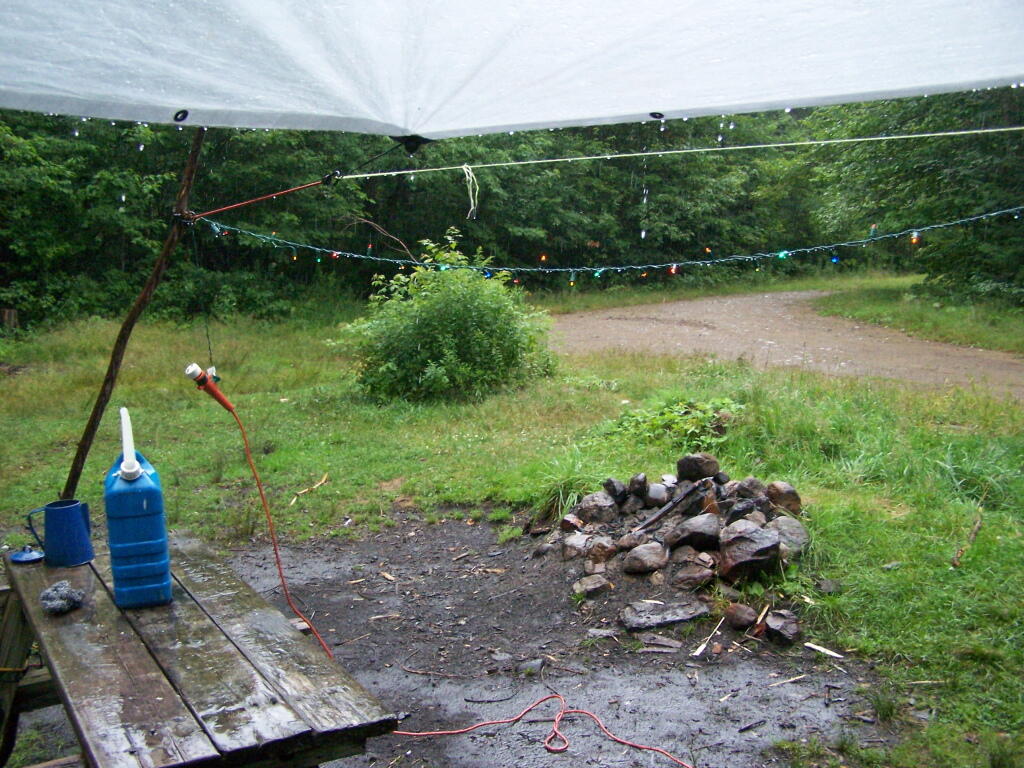
I had originally planned on exploring Moose River Plains, on Friday July 23 during my vacation. It however rained and rain, and I had to hide out under the tarp the whole time. So I spent most of the day camping out and reading.
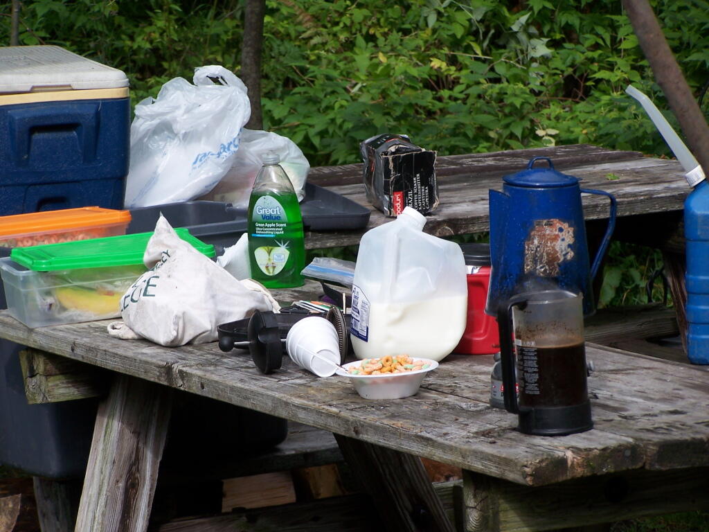
Getting Breakfast Ready. Yes, I have lots of cheap trashy plastic crap that I use for camping. And I use styrofoam bowls and plastic silverware as much as possible, because clean up only involves using some matches and a fire.
Cearel in Plastic Box. I stored all of my food in these 10 plastic boxes that I got at Walmart for $10. It helped things from getting all smashed up, and made organization much easier.
It just poured and poured. It was a real rainy Friday. I ended up driving down to Indian Lake to buy some more ice and food, and to check the internet.
I spent a lot of time listening to radio in the rain and reading books.
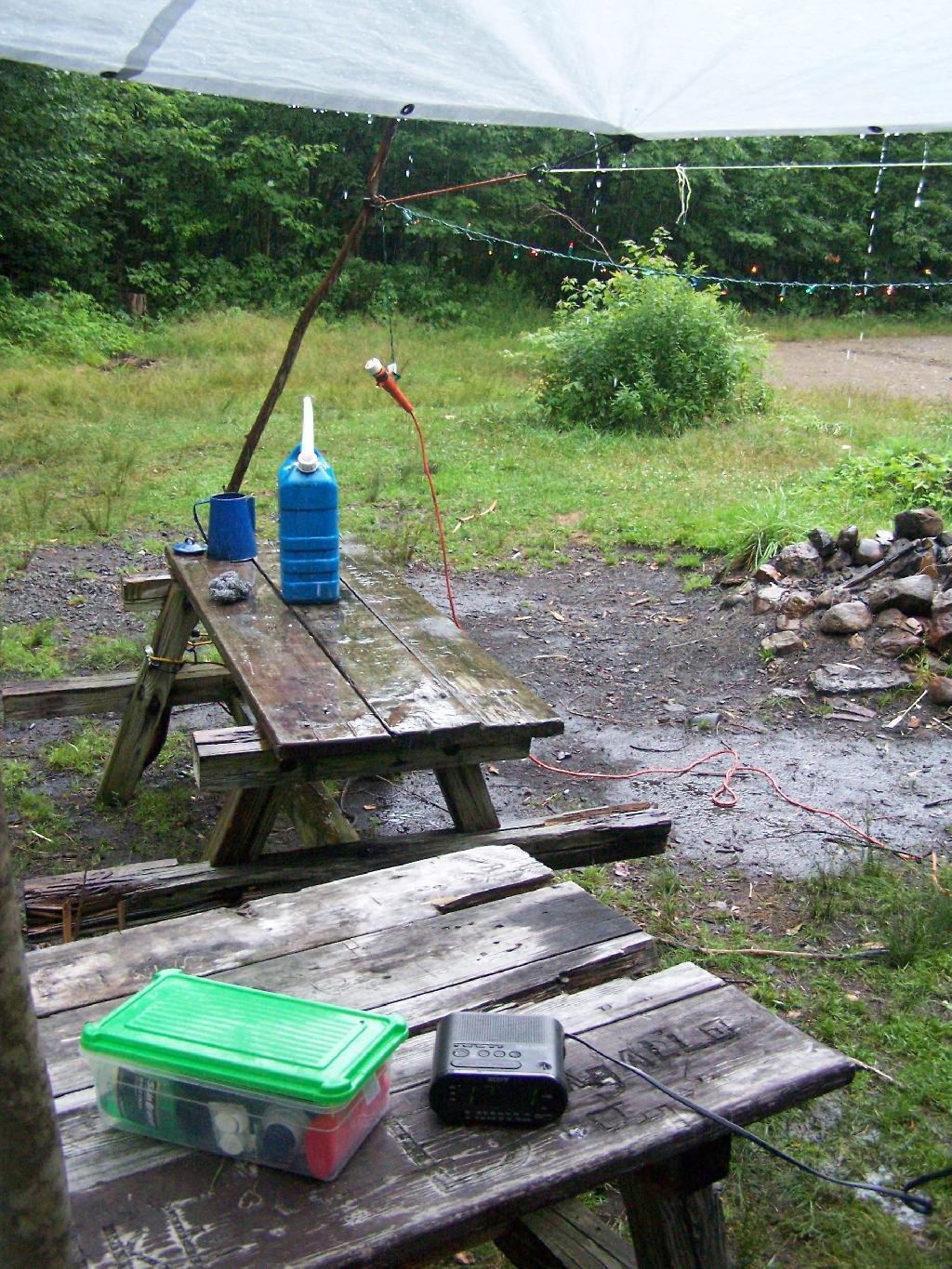
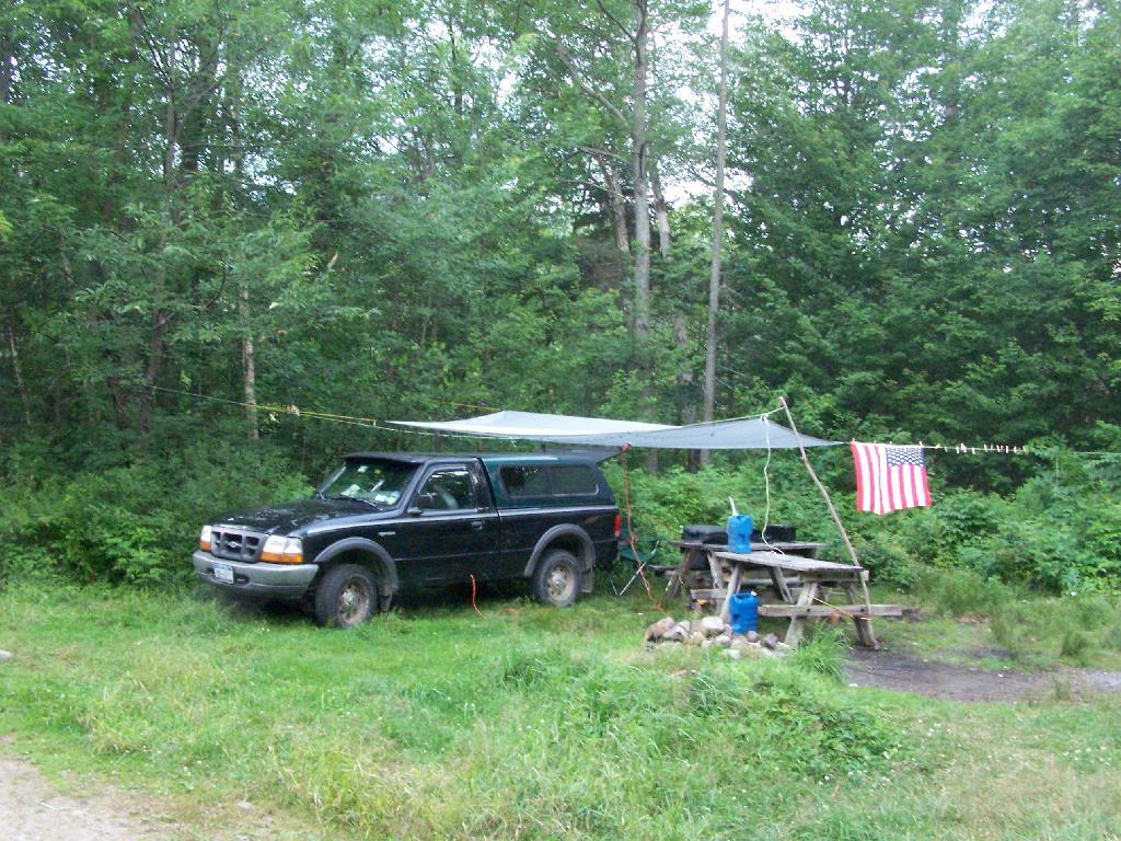
After a while, all the rain started to make the tarp sinks due to the wet. Eventually, even the Christmas lights shorted out.
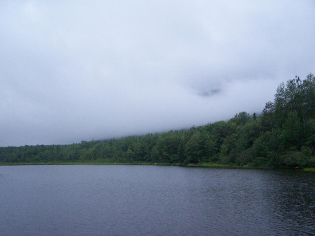
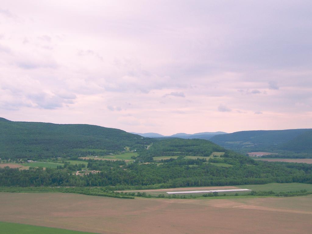
But by evening, things started to clear out at the Cedar River Flow. It was refreshing after Friday’s long day of rain.
That was Day 3 at Cedar River Plains. It was wet, but nice to take a quiet break for a while.
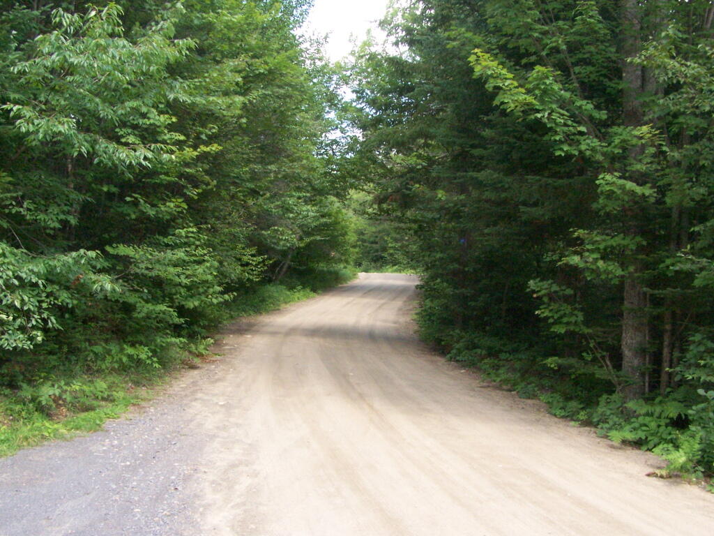
The Cedar River Flow at Moose River Plains has 10 roadside campsites along with an Assembly-area. It is popular for kayaking, camping, and exploring nearby mountains and trails such as Wakely Mountain. There are also about 20 campsites that you can paddle in along the lake, and over 150 campsites located up in Moose River Plains, a 30-60 minute drive up a rough dirt road from here.
You enter via Cedar River Road.
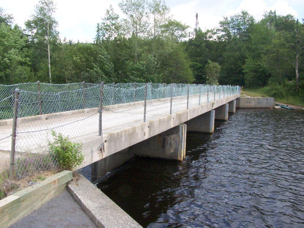
Half of the campsites at Cedar River Flow are located across the Wakley Dam.
Wakley Dam Bridge. It looks fairly secure. Heck, people drag their big fifth-wheel RVs across this bridge all the time, so it has to be pretty sturdy.
I camped out at Campsite No 9.
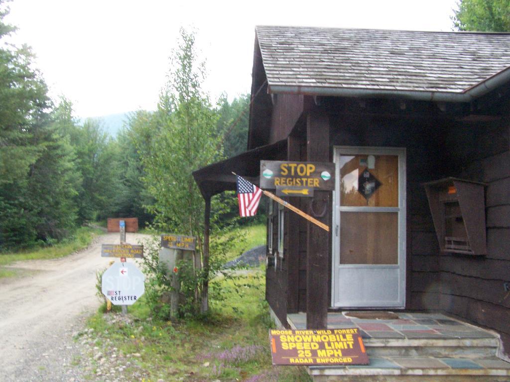
At Cedar River Flow is the Entrance to Moose River Plains, where you have to register your vehicle in case you get lost or your car or truck is otherwise found abandoned.
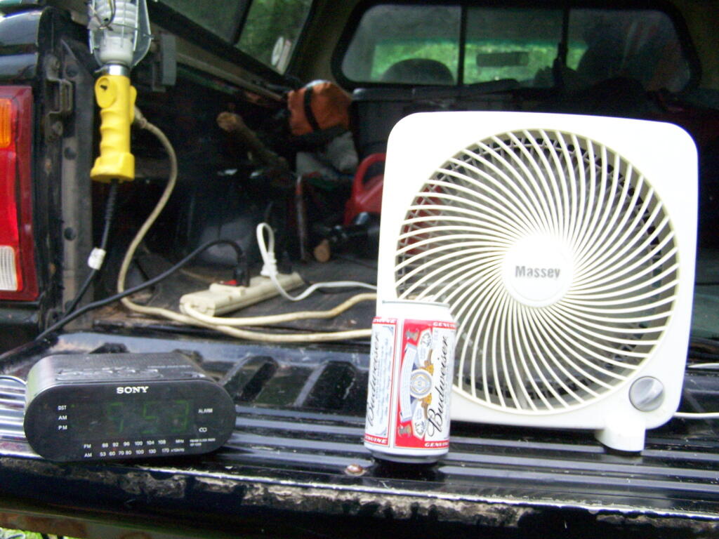
Sitting back and having a beer at Moose River Plains in the afternoon.
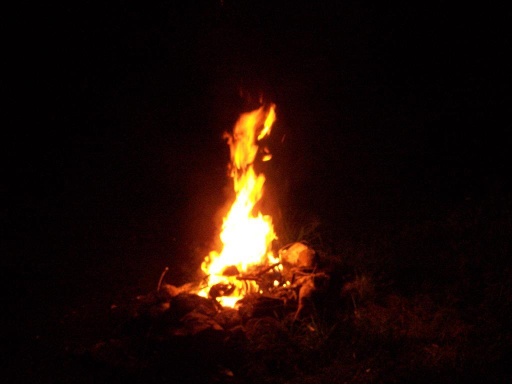
A big ass Campfire. Sigh!
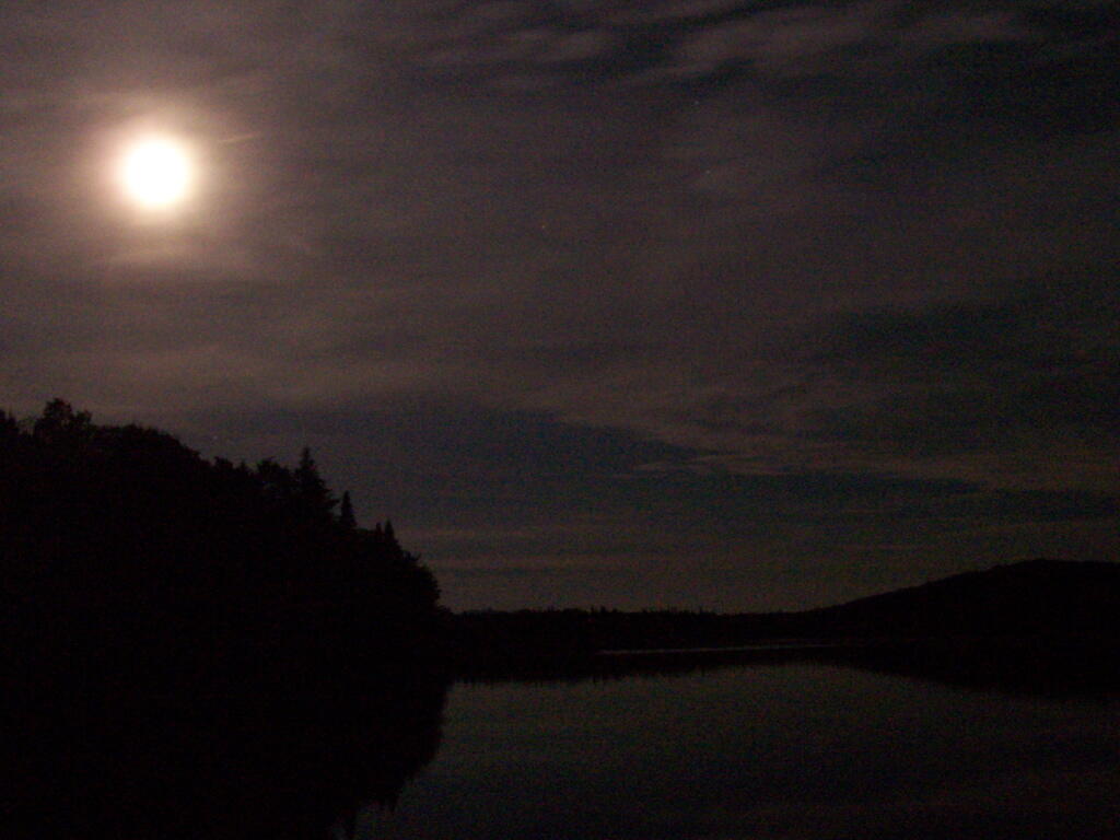
One of the neat things is walking out on Wakely dam at night and looking up at the stars. Here is moonlight on Cedar River Flow.
Here is a map of the Cedar River Flow. The camping area is located on the Northern End by the dam.
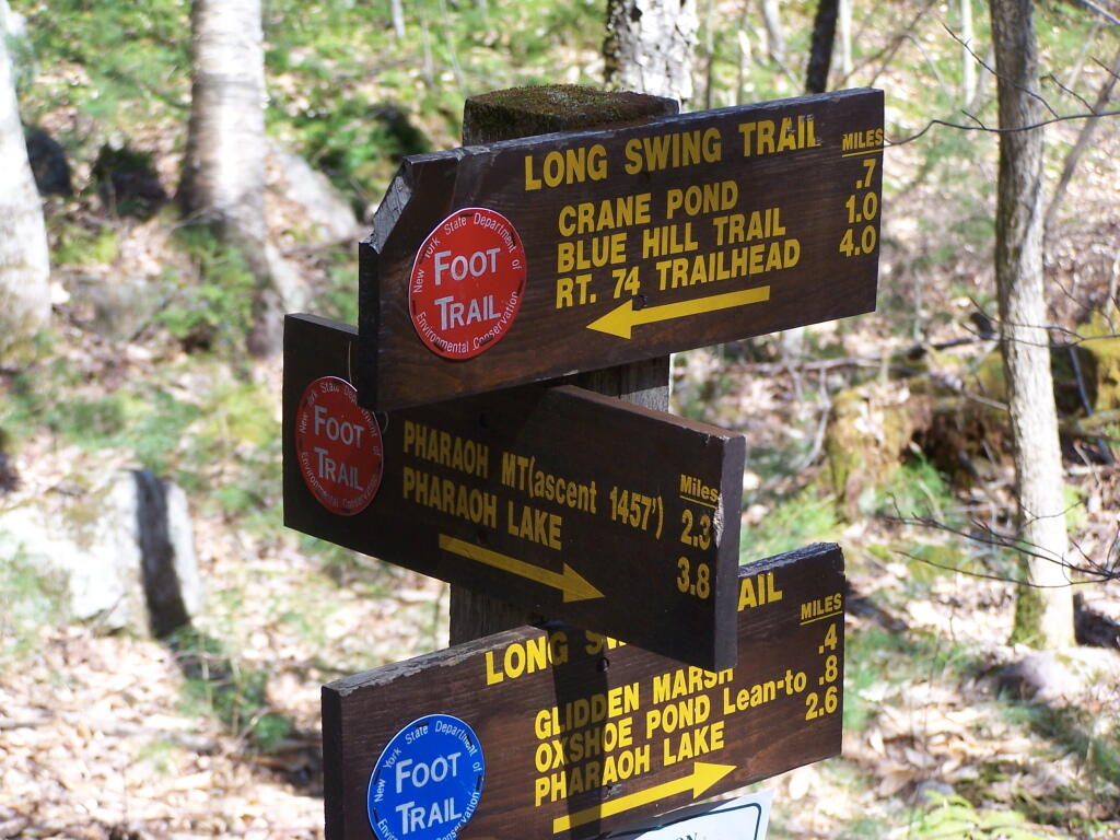
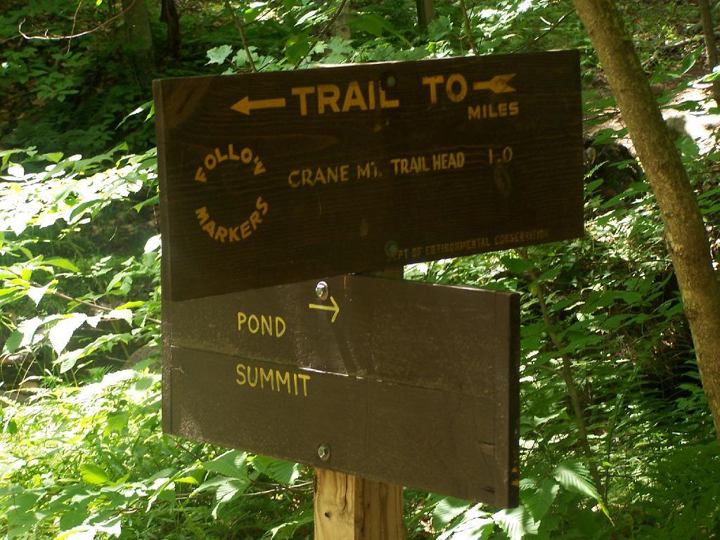
Crane Pond Road is a 2 mile historical truck trail in the Pharaoh Lake bureaucratically-defined “Wilderness”. This truck trail provides access Alder Pond and Crane Pond, along with access to hiking trails to Goose Pond, Glidden Marsh, Oxshoe Pond, Crab Pond, and Pharaoh Mountain.
This truck trail is popular and is frequently used hunters, fishermen, backpackers, and hikers visiting the vast lands of Pharoah Lake “Wilderness”. The wilderness distinction, is rather dubious as these lands are not historical wilderness but only designated as such on paper by the Department of Environmental Conservation and the Adirondack Porn Agency. There is few old growth forests or undeveloped land remaining in our state, and the wilderness designation is frequently abused by environmental extremists.
The entire Pharaoh Lake “Wilderness” is traversed by old logging roads, has old foundations, and other ruins of a once privately owned, farmed or logged land. Many of the hiking trails follow old logging roads. The state has developed foot bridges, hiking trails, and many lean-tos throughout the property, so man made structures are not uncommon to find in this so-called “Wilderness”.
A Rough Truck Trail.
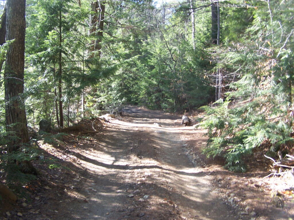
The entire Crane Pond Road is a rough truck trail. It’s has gotten minimal maintenance by the state of New York, ever since those with an certain extremist ideological agenda attempted to get this truck trail closed off.
Some portions of the truck trail are deeply rutted, and at least this time of year, very muddy. A few places are washed out, and you have to travel past washed outs, or carefully climb over them. I bottomed out my Ford Ranger a couple of times and could feel the front-drive train pulling the back wheels along as they started to slip.
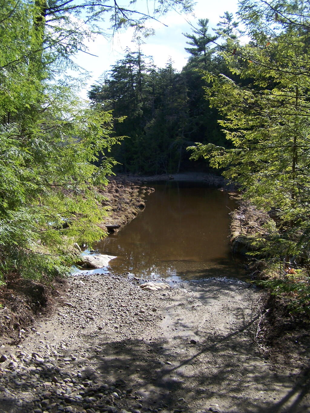
Towards the end of the truck trail, the truck trail actually crosses an inlet to Alder Pond. I didn’t try driving through this section during the high water of spring, but apparently at least one person with an old Chevy K1500 4×4 made it to the end without problems.
I drove to the pull-off right before the spot where the truck trail crosses Alder Pond. In low water, I wouldn’t mind driving through the inlet to the parking area at the end of Crane Mountain Road, but I wasn’t going to get my pickup stuck or flooded.
A Good Thing to Still Be Open.
All and all, I am happy that citizens fought to keep this existing truck trail open, against an extremist ideological agenda of some environmentalists. It shortens the hike up Pharaoh Mountain by 4 miles, and provides easy access to many important areas.
This would have been different issue if was proposed by the NYS DEC to build a new road through the Pharoah Lake “Wilderness”. If the DEC had shown up with bulldozers, and chainsaws, to cut a new road one could have made an argument against building a new road.
Yet, Paraoh Lake “Wilderness” is not that — it’s a land that has long been minimally developed with forest access roads, trails, lean-tos, with Crane Pond Road long being minimally maintained to provide access to this important public land. It’s not a Strip Mall or Housing division, and most of the area is very wild, even if it’s somewhat developed to provide for the public access and enjoyment.
New York State Should Maintain &
Keep Crane Pond Road
OPEN to Public Motor Vehicles !
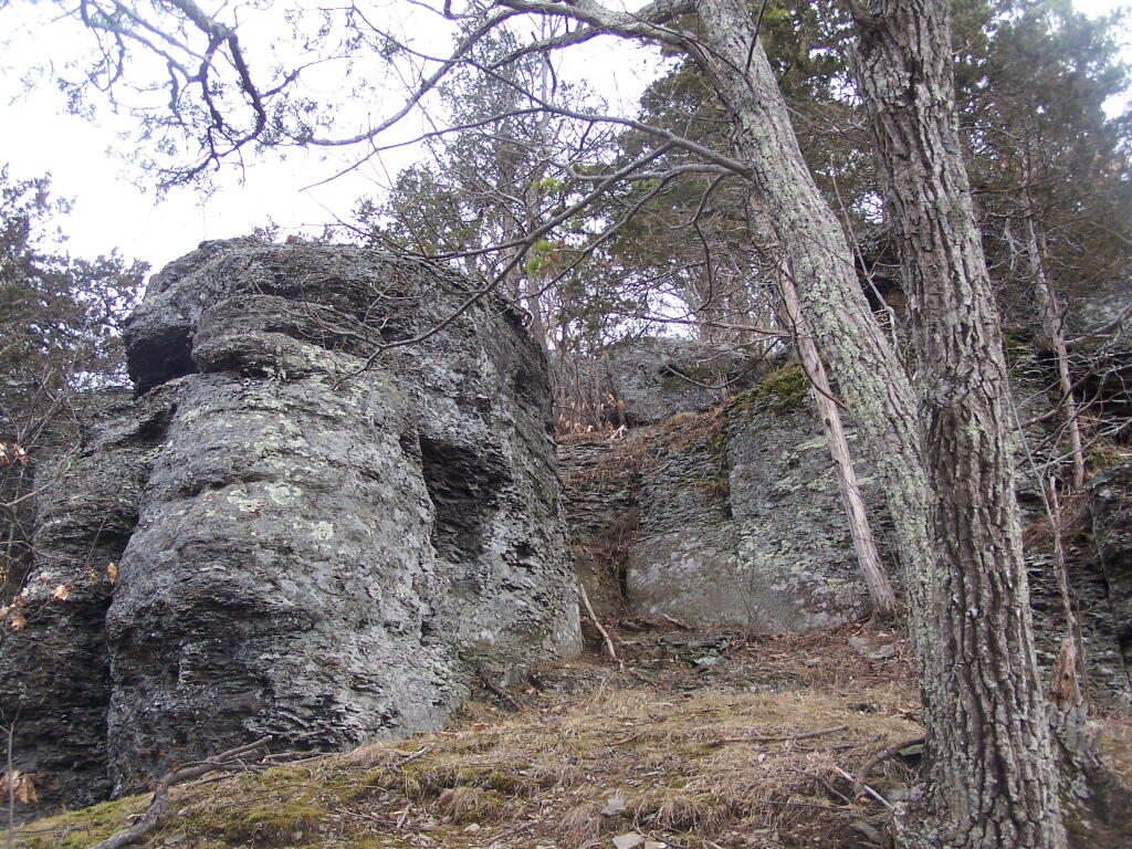
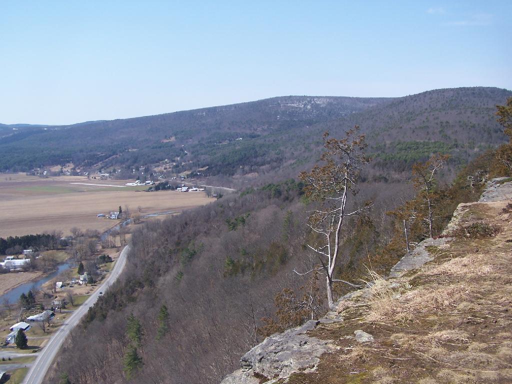
Directly to the East of Middleburgh there is a long narrow landform known as “The Cliff”. It’s a 500 foot high hill, with about 40 feet high cliffs, overlooking Middleburgh and Schoharie to the west. Cotton Hill sits above it to the east. While privately owned by the owners of the dairy farms in the valley below, the Long Path crosses it and you can use it to explore the cliffs.
As you climb the hill on the Long Path, looking backyards there are broken views.
When your almost to the top of the Cliffs, there is a quick scramble over this ridge. This is a section that is very much hand and knees, you’ll probably toss your pack up and then climb up to retrieve it.
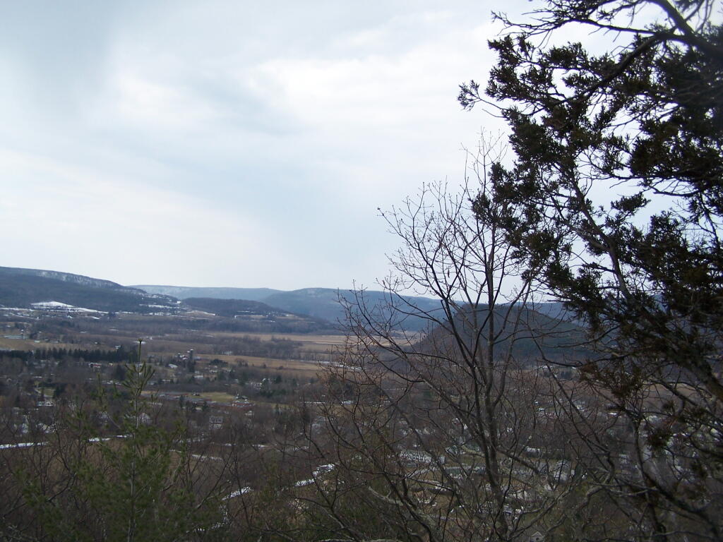
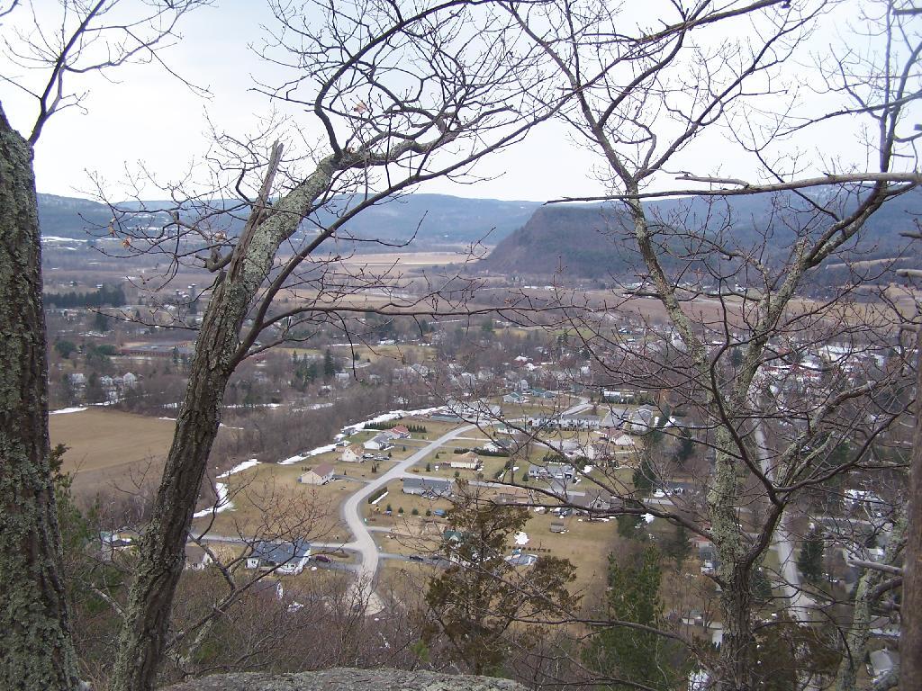
After you get to the top, you have some views to the south, including Vromans Nose.
Further along the trail you get some broken and then improving views of the Schoharie Valley just north of the Middleburgh. In the background is Middleburgh Roundtop Valley, and where NY 145 climbs the ridge to get over to East Cobelskill.
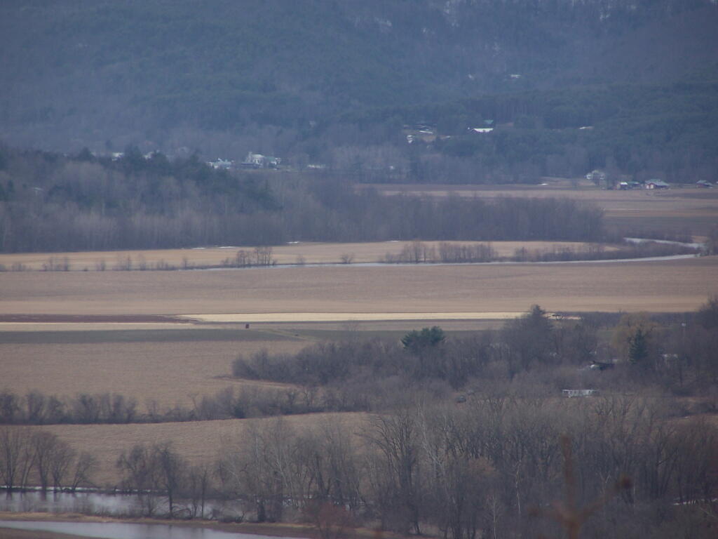
The agricultural flat lands south of Middleburgh.
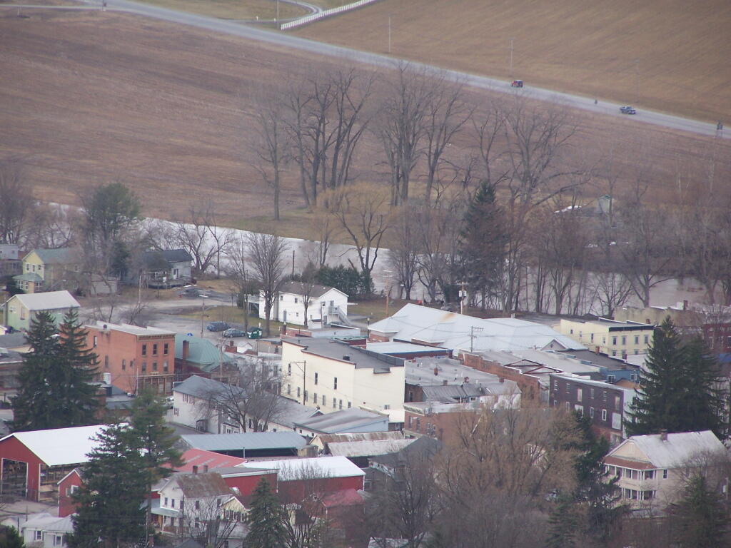
The new more suburban section of Middleburgh, with the older village in the background. I never understood why people would live out in the sticks, but also live in a suburban subdivision in a classic small village.
A dairy farm along NY 30 north of Middleburgh.
All and all, this hike doesn’t provide amazing remote lands, but still has some interesting agricultural views of the fertile Schoharie Valley. Taking no longer then a total of a 45 minutes round trip, it’s a nice hike to do with Vromans Nose or take the trail farther west to Cotton Hill Lean-To.
I’m not sure if I have ever gotten lost before in the woods. There has been times when I’ve taken a trail to a surprise result. I don’t always have a perfect map in my head of every area I’ve been to, and sometimes when visiting a new area, I will loop back upon on a trail and be quite surpised at that fact.
Sometimes I will run into something unexpected in the woods that makes it impossible to reach my destination the way I originally expected. The cliff might drop off steeply, their might be a pond in the ways, the trail might be really muddy and mucky, or their might be a hunter up ahead. I usually find my way back to the trail without a problem.
There have been times when I’ve had difficulty locating one point or another. I almost always find it, after a little searching, if it’s nearby. Sometimes I will give up and go back, especially if my map’s quality is poor or if it’s not readily apparent where it should be.
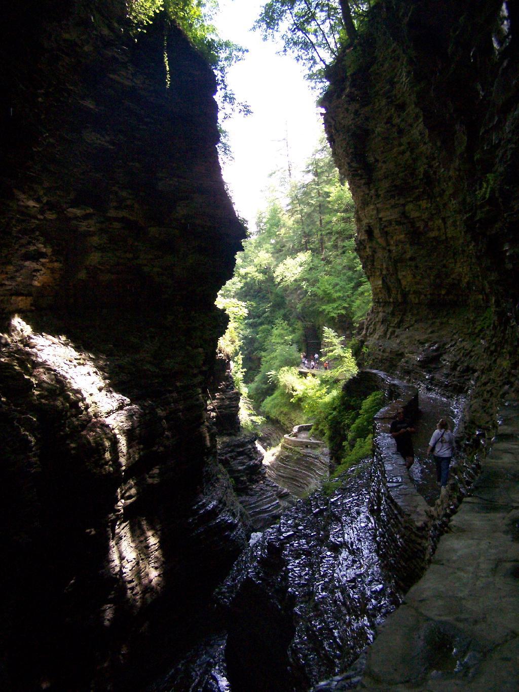
I happened to be driving through Watkins Glen on my trip from the Finger Lakes National Forest to Sugar Hill State Horse camp, so I figured I would take a walk up the trail once again. I’ve been there before, but I figured this would be a chance to get photos when the light was better.
The last time I was there it was early in the morning. This proved to be a problem for photograhpy, without a tripod, because it was so dark in there. It was much lighter in the middle of the day, abit much more crowded. It also was a very humid day out there.
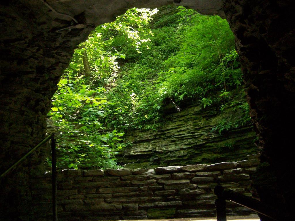
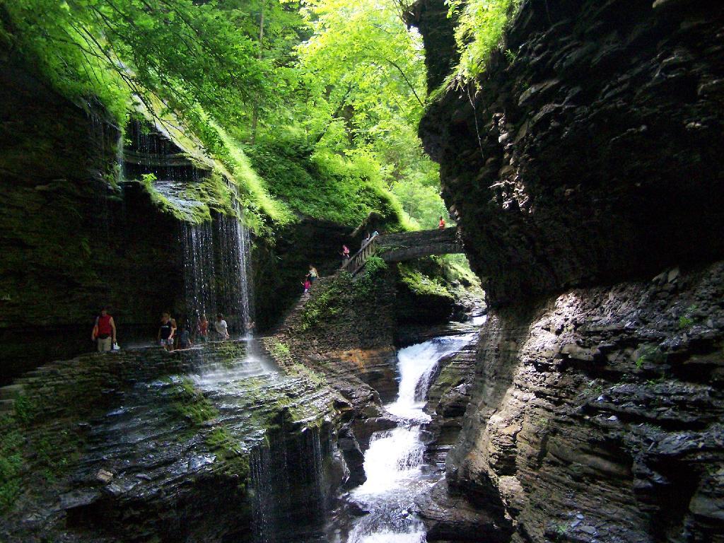
In several sections of Watkins Glen the trail cuts through caves to get around mountain faces, then emereges out to the most beautifully lit green areas.
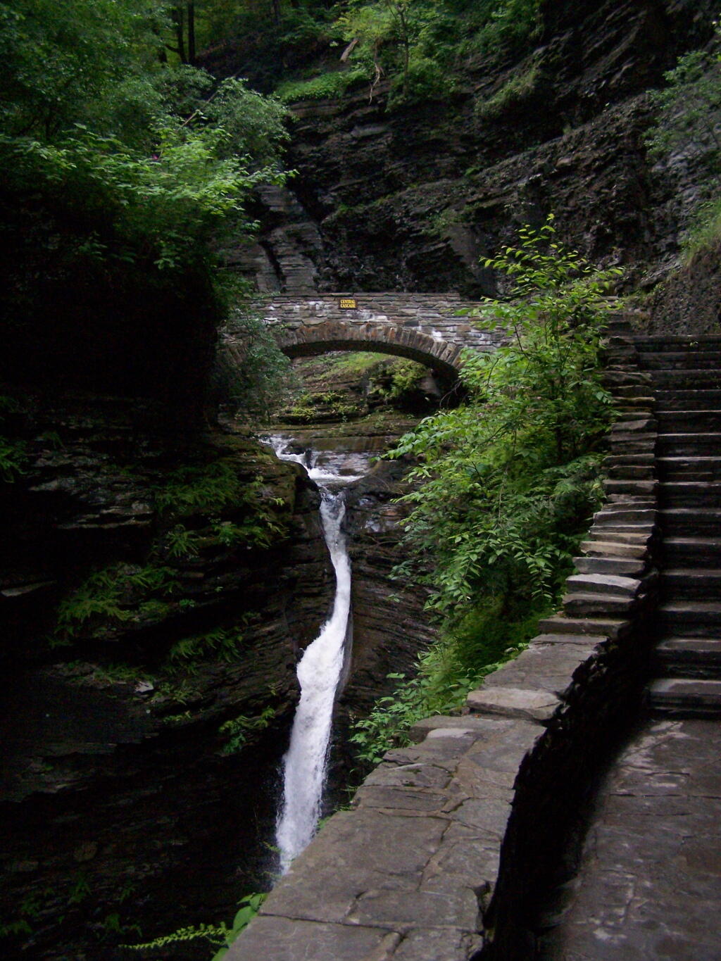
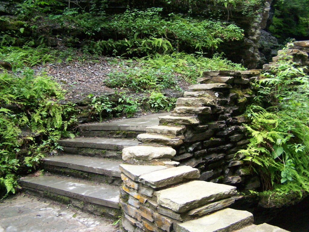
The trail follows the edge of the Glen, crossing it several times on beautiful stone bridges.
The trail is beautifully designed and a pleasure to walk, although on a humid day like today, it was pretty hot, despite being largely in the shade.
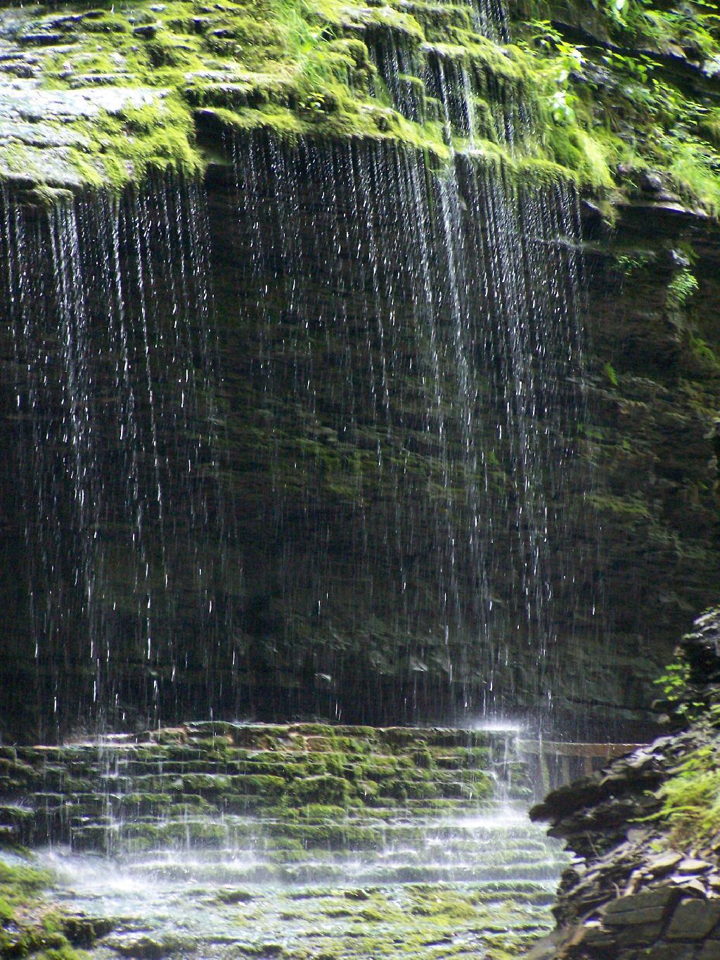
The trail goes under several waterfalls, and after the week’s rainy days, it was pretty wet in spots.
And almost magical scene in Watkins Glen. This whole area somewhat spirtual feeling, especially on the backdrop of such rich greens.
When you reach the top of the glen, the waterfalls become farther appart and less steep and the creek is relatively flat.
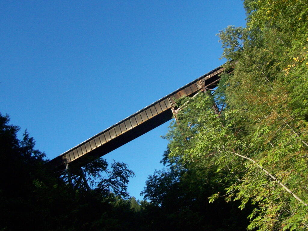
At the top of the Glen is this old railroad bridge. It appears the line is actively used; it would be neat to capture a train going over the Glen. Maybe someday.
Here is a map of the trail I walked in Watkins Glen.
After spending the night at Burnt Rossman I decided to go up Vromans Nose for a short hike, where I could sit out and watch over the Schoharie Valley and take some pictures. I’ve been up Vromans Nose a dozen of times before, but it’s always nice to go up for another visit.
The old roadbed up the mountain.
The edge of the mountain.
With thunderstorms coming in the sky was the most interesting of colors.
I spent about an hour up there before coming down.