Search Results for: photo wet 4

Snowshoeing at Grafton Lakes

Last Saturday I went out snowshoeing at Grafton Lakes State Park. I wasn’t planning on going out, until I realized how truly nice it was outside. I quickly tossed my snowshoes in the pickup, packed up my pack, and off I went.

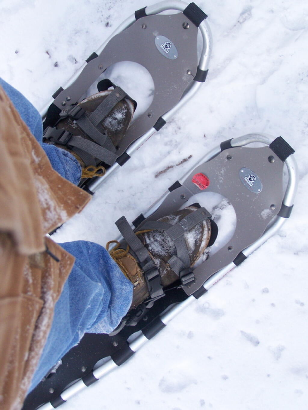
Snow Shoes

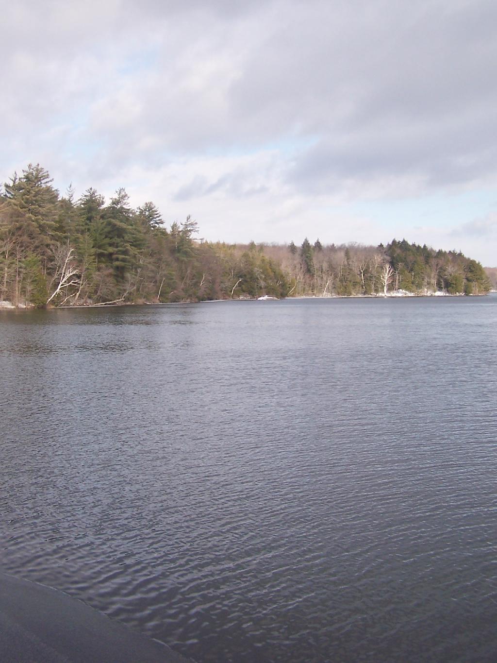
I drove out along Domain Road, past the winter entrance to the Grafton Lakes Park, and parked down along Second Pond. I didn’t realize that snowshoers/skiers could go through the winter entrance, and all the way to the beach on Long Pond. Instead, I snowshowed out along Second Lake to Long Pond. As you can see, Long Pond was not frozen.

 Shore of Long Lake

I decided to go on the trail around Long Pond. While I’ve been around Long Pond in a canoe and kyack in the summer, I’ve never been all the way around the trail in winter.

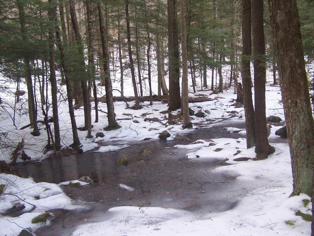
Several sections of trail would have been swampy had it been warmer. It instead was ice, in most portions thick enough, that the snowshoes crossed it without cracking through. The trail along Long Pond probably is not very good for hiking on wet times.

Icy Patch

The trail around Long Pond is signed with “More Difficult”. It is amusing to see the trail signed “More Difficult”, especially after all of the High Peaks and other mountains I’ve climbed in the Catskills and beyond. This trail is almost completely flat, bar a few rocks and roots sticking up and a few very small hills.

The far end of the lake looking due south towards the swimming beach. You can’t actually see the beach from here, because the lake turns slightly to the west from here.

Far End of Long Pond

After going around Long Pond, I headed along the Second Lake. This lake was frozen unlike the other pond. It was a bit too thin to dare cut across it.

Percent of Albany County Homeowners Who Moved in Before 1990

Here is a map of the snowshoe hike in blue.


View Hikes of 2009 in a larger map

Stony Ledge at Mount Greylock

For about two months now I’ve been really itching to go out hiking on Mount Greylock. I have wanted to say I’ve “conquered” yet another peak. Last Sunday I decided it was time to go. I realised though with the short days and the snow predicted for the afternoon, I would not be able to make it all the way up Greylock, but would have to settle for Stony Ledge from the Hadley Farm.
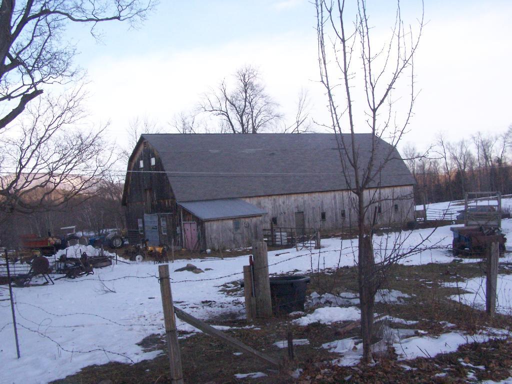
Hadley Farm Barn

Hadley Farm is a working beef cattle farm, and while the cows where in the barn, you can smell the livestock in the barn. The farm is privately owned, Massachusetts Department of Conservation Resources (DCR) owns a parcel of a land directly to the south of the barn, an old field that is snowploughed to allow parking.

Hadley Farm Barn

One of the first views directly to the west of the trail-head is the beautiful Deer Ridge, a set of lower mountains directly to the west of Mount Greylock.
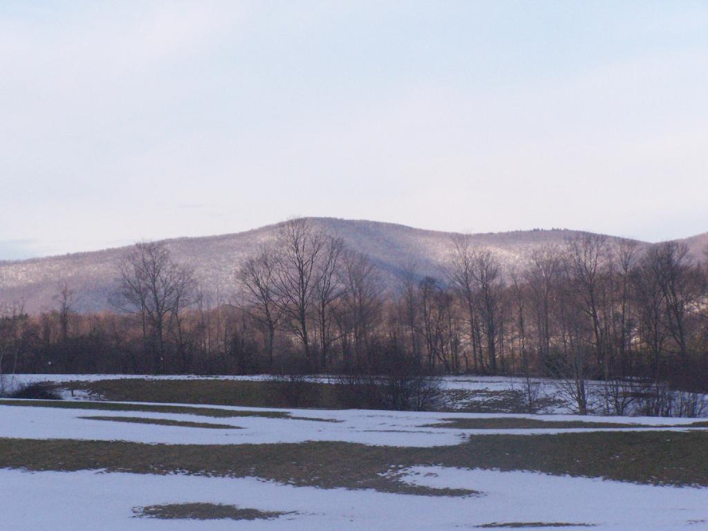
Deer Ridge

For a while the Hopper Trail is co-signed with the Money Brook Trail. Along the Money Brook they allow dispersed camping, which is not allowed in other areas. This portion of the Hopper Trail is relatively flat, with some climbing, but nothing too major.
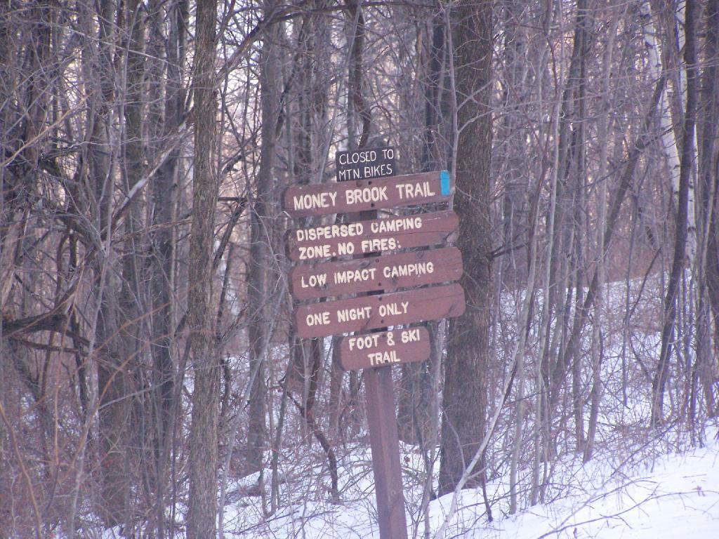
Dispersed Camping Along Money Brook

The trail I took up with the Hopper Trail, an old woods road that connects up with the camp ground on Stony Ledge. As I had gotten a fairly early start hiking up, the sun had yet to rise over the high mountains, so things where still in a shadow. The deep valley I am in is called the Hopper.
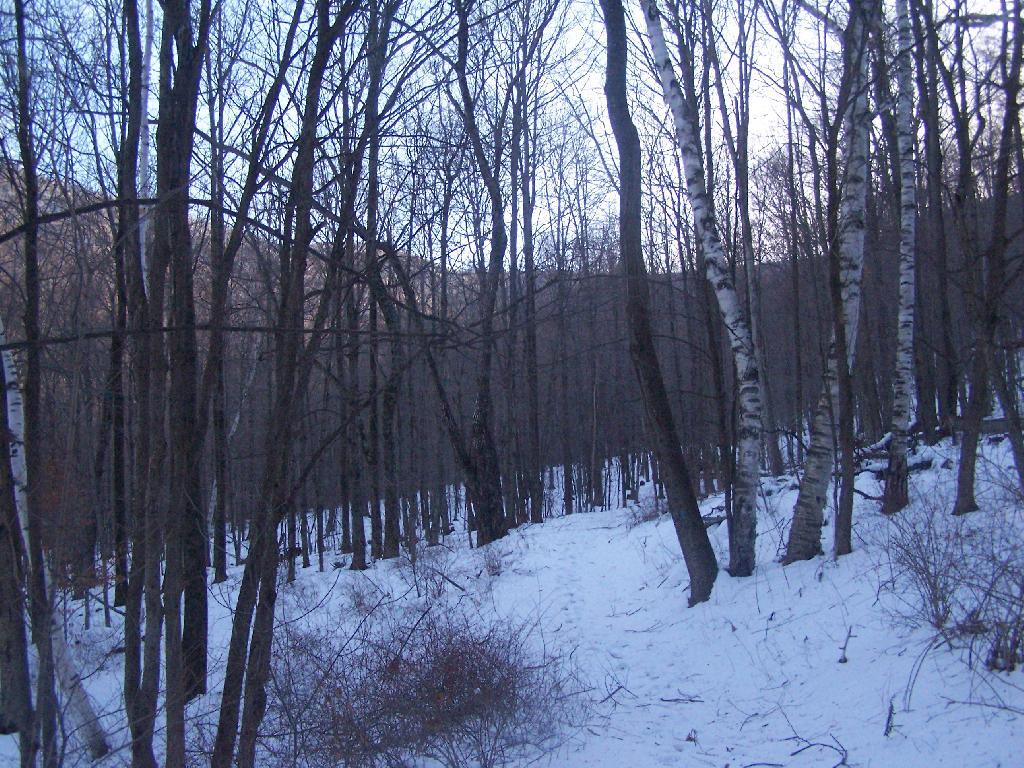
Heading Up Hopper Trail

When you reach the Sperry Road Campground (free primitive backpack/horseback/snowmobile campsites), here is the sign for The Hopper / Hoper Trail. In Massachussets they sometimes get a bit carried away with all the words they use on their signs.
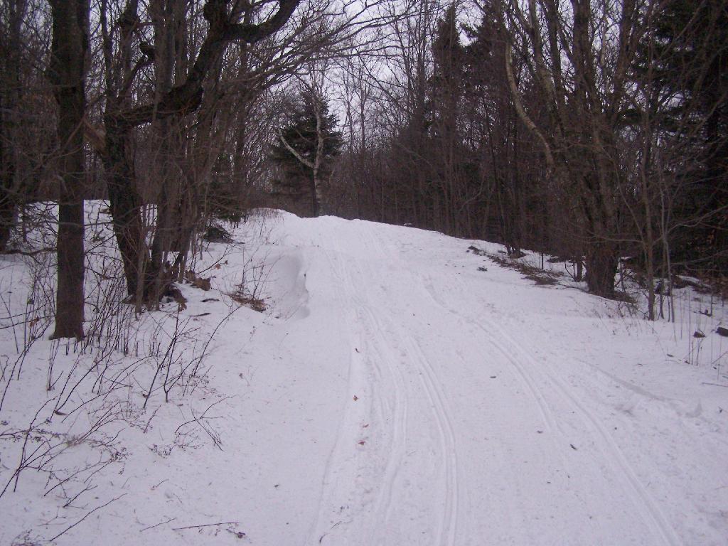
Sperry Road, Now Snowmobile Trail

Here is Sperry Road / Campground. Right now it’s being used as a snowmobile trail. In the background is the side of Mount Greylock, some 1,000 feet above Sperry Road.
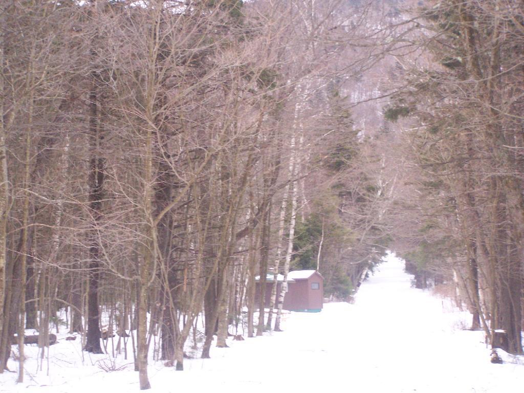
Campsite R6 on Sperry Road

Here is Campsite R6 at Sperry Road. All of the campsites have picnic tables, the tiny little fire pits that are standard issue by MassDCR, and a hitching post for horses.
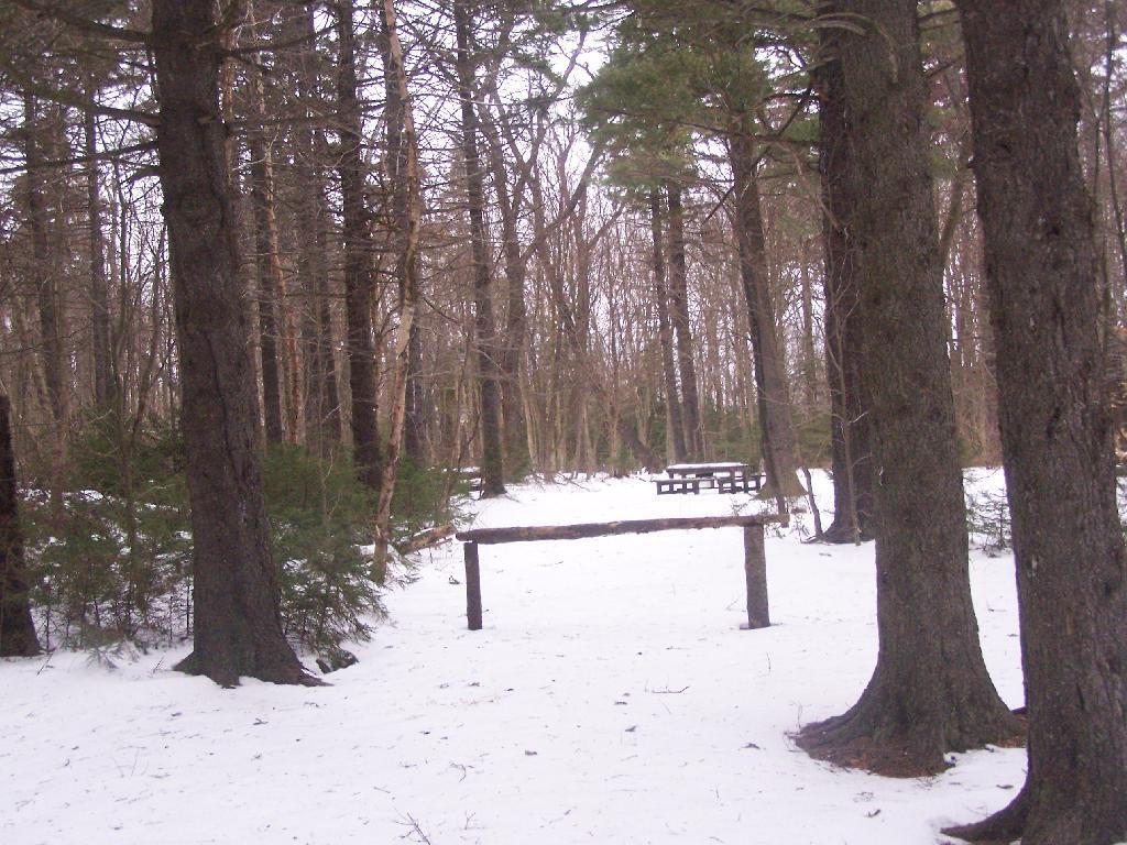
Sperry Road at Campground

Reaching Stony Ledge. I’m tired. I sit down at the picnic table, and take off my snowshoes, and look down at the Hopper and the Taconic Mountains in the distance. The snow had largely blown off the face of the mountain.
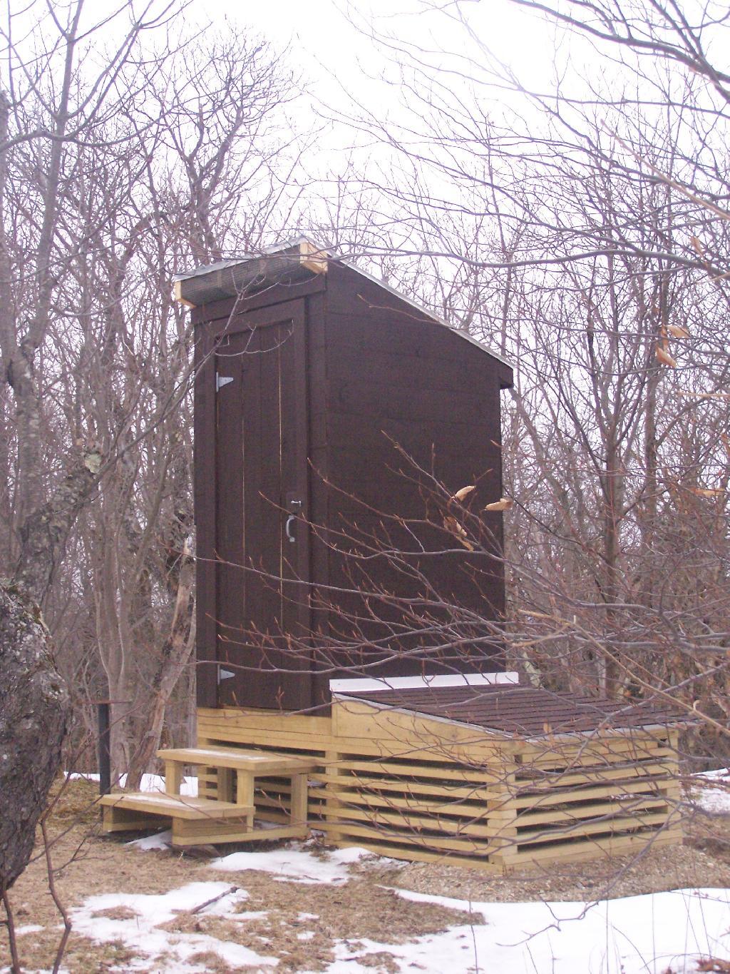
Stony Ledge Out-House

Here is the pass between Mount Greylock and Mount Prospect. The “wrinkles” in the mountain, and the stony-nature of Stony Ledge just seemed so perfect for this rapidly greying day.
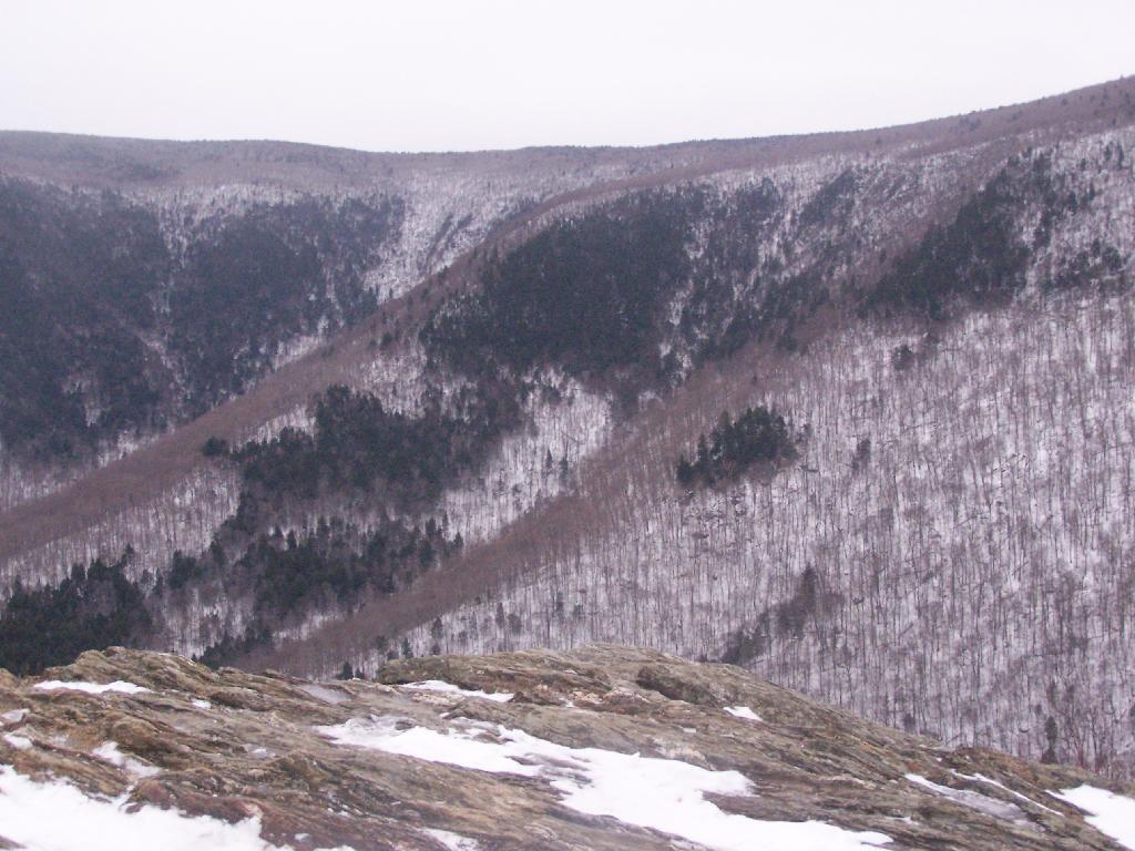
East Off Stony Ledge

I didn’t spend much time at Stony Ledge. Shortly after reaching Stony Ledge, it started to sleet (ice pellets) pretty hard. My left-cleet came apart on my snowshoe, so I decided I’d better head back. I wanted to find the pieces that fell off my snowshoe, so I returned the way I went up the mountain.
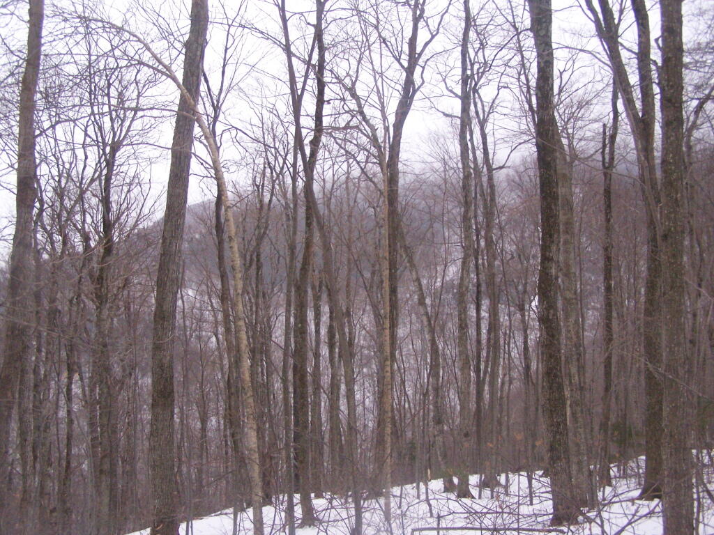
Greylock Shrowed in Snow

Part of the descent down on Hopper Trail was quite steep and icy. With my broken snowshoe, which I later found the parts for on the trail, it was a slippery descent. The old roadbed was covered with a thick layer of ice, made slipper from the sleet, and at an almost 45 degree angle to the roadbed, because of drifting snow.
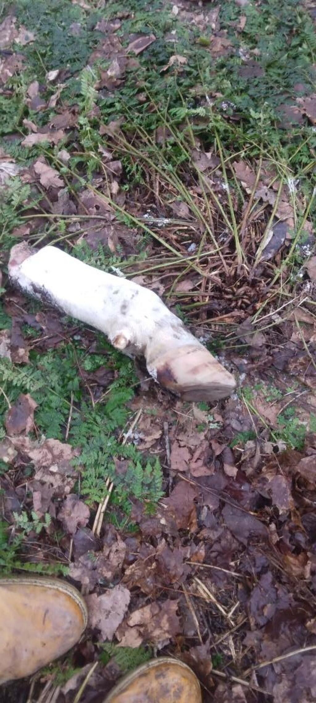
Hoof and Leg

Looking up towards the Cut Off to Money Brook around 1:30 PM as the snow was rapidly flying around and coming down. It wasn’t quite whiteout conditions, but it was very white. It would change from ice pellets/sleet to snow then to ice pellets, and finally back to non-freezing rain.
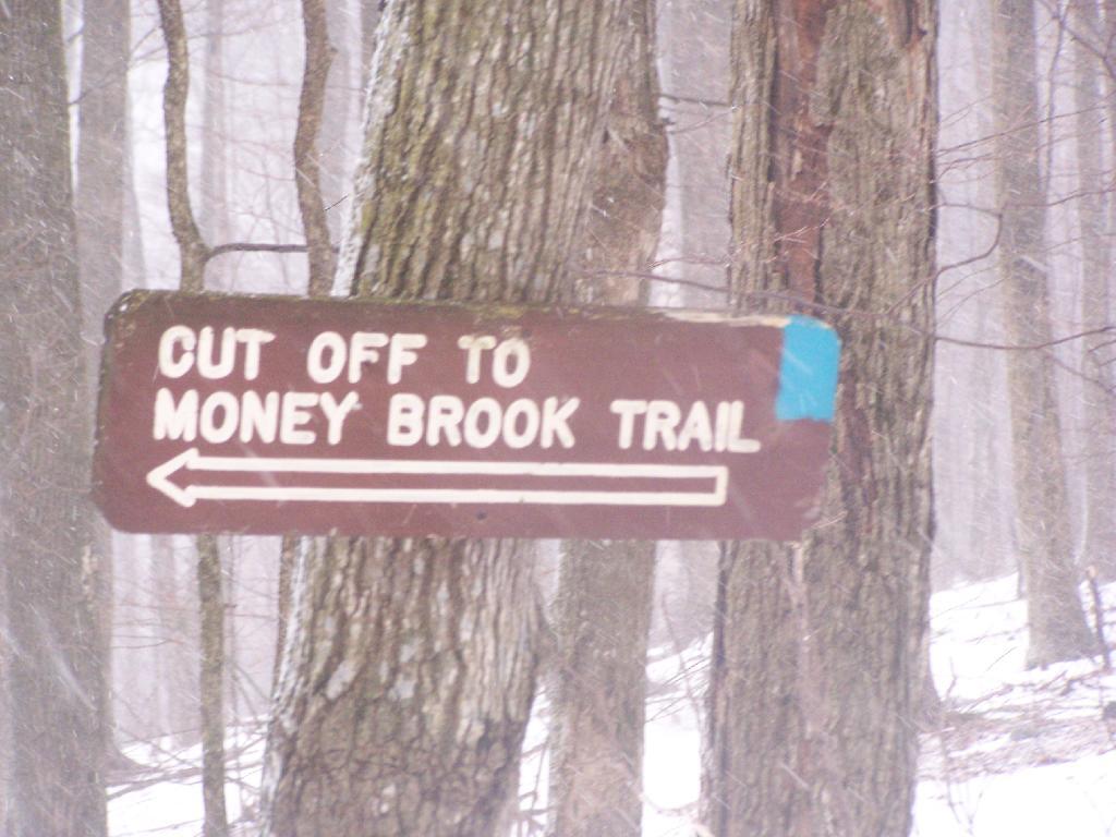
Cut Off to Money Brook Trail in Snow

By the time I made it back to my truck, it was pouring rain out. Much too wet to get the camera out for sure. I hopped in the cab of my truck, took off my thermal overalls, and got warm. It was a long drive home on very slippery roads, but it was worth it.

Here is a map of the route, in blue.

View Hikes of 2009 in a larger map

Watkins Glen

I happened to be driving through Watkins Glen on my trip from the Finger Lakes National Forest to Sugar Hill State Horse camp, so I figured I would take a walk up the trail once again. I’ve been there before, but I figured this would be a chance to get photos when the light was better.

Watkins Glen Sign

The last time I was there it was early in the morning. This proved to be a problem for photograhpy, without a tripod, because it was so dark in there. It was much lighter in the middle of the day, abit much more crowded. It also was a very humid day out there.
Clove

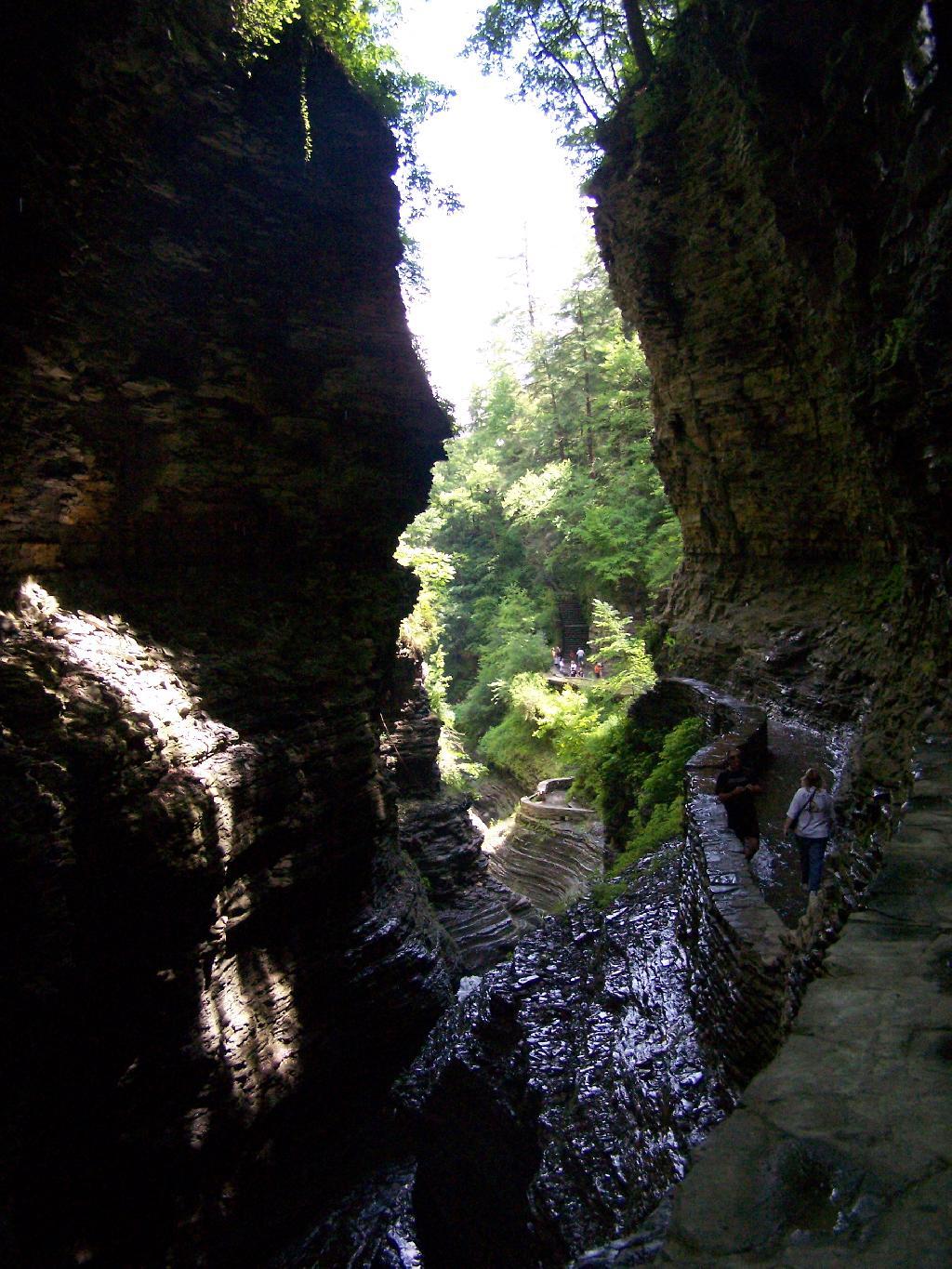
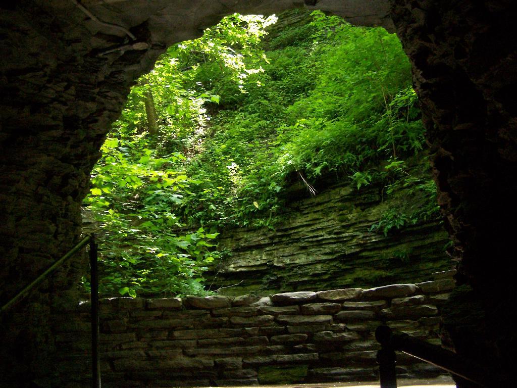
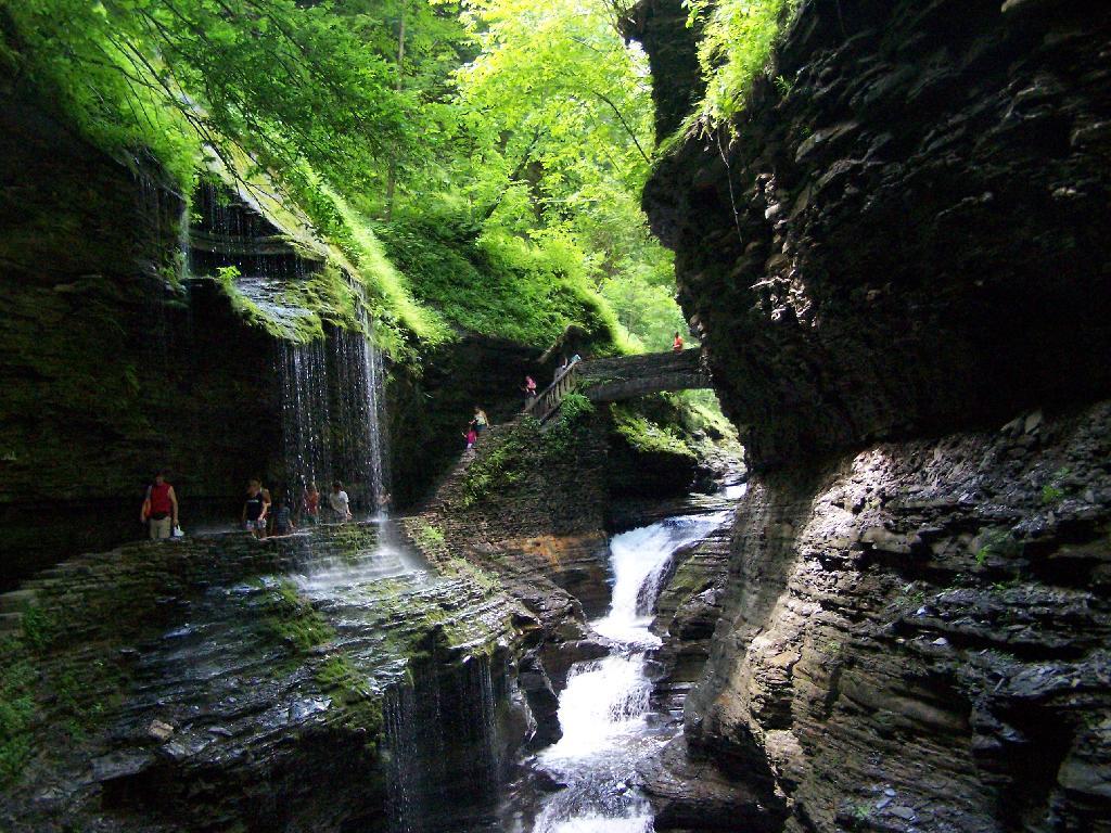
In several sections of Watkins Glen the trail cuts through caves to get around mountain faces, then emereges out to the most beautifully lit green areas.

Green Cave

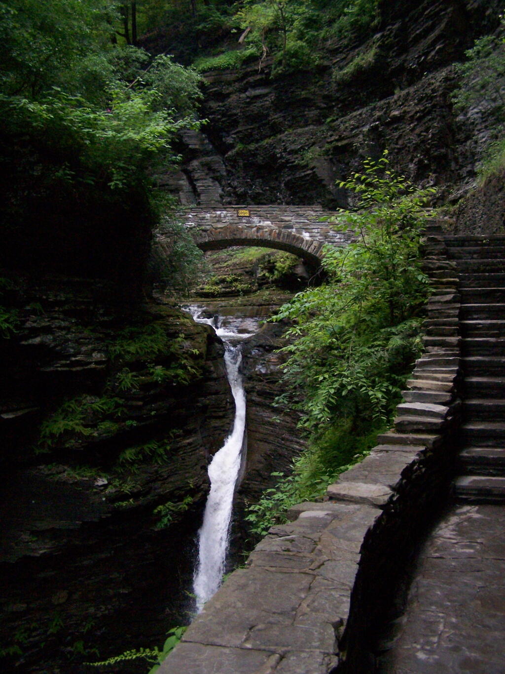
The trail follows the edge of the Glen, crossing it several times on beautiful stone bridges.

Bridge

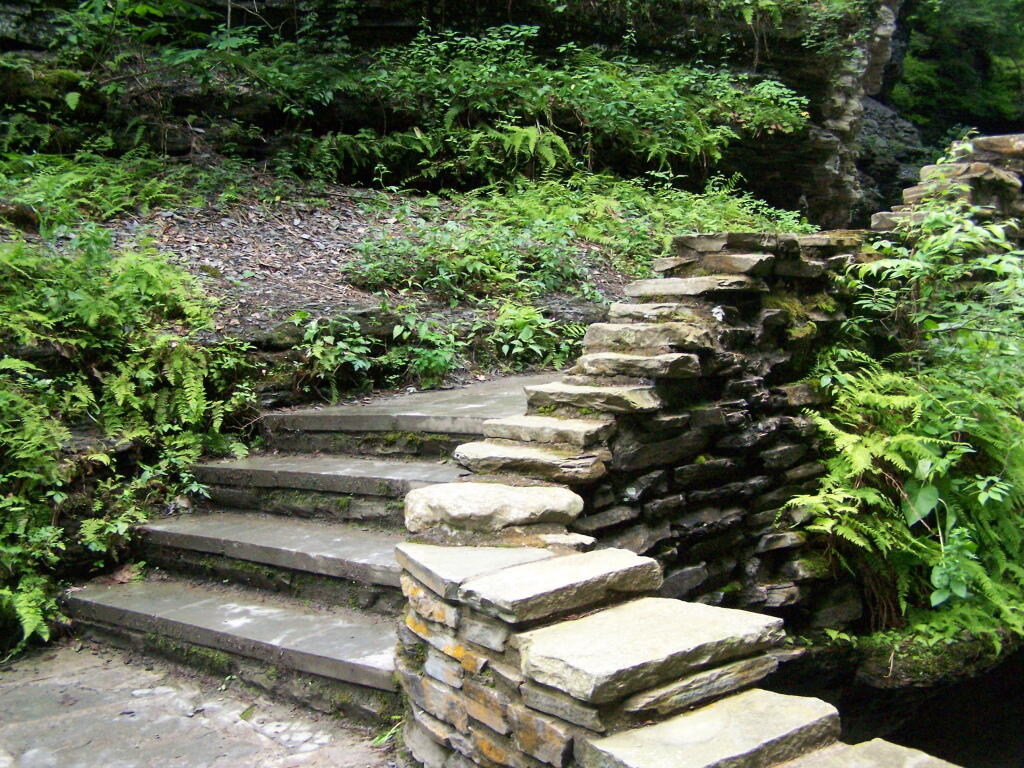
The trail is beautifully designed and a pleasure to walk, although on a humid day like today, it was pretty hot, despite being largely in the shade.

Stairs Turn

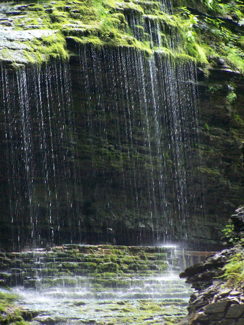
The trail goes under several waterfalls, and after the week’s rainy days, it was pretty wet in spots.

Drip Drop

And almost magical scene in Watkins Glen. This whole area somewhat spirtual feeling, especially on the backdrop of such rich greens.

Stay Dry

When you reach the top of the glen, the waterfalls become farther appart and less steep and the creek is relatively flat.

Year of Peak Employment by County

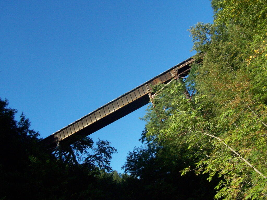
At the top of the Glen is this old railroad bridge. It appears the line is actively used; it would be neat to capture a train going over the Glen. Maybe someday.

Railroad Bridge

Here is a map of the trail I walked in Watkins Glen.


View Hikes of 2009 in a larger map

Here are maps of Watkins Glen.

Finger Lakes National Forest

For the second day of the Finger Lakes Trip I spent a night at the Finger Lakes National Forest, a series of rather large leased public pastures interspersed with forested areas and ponds. National Forests are managed by the US Department of Agriculture, and this area in particular came under USDA jurisdiction in the 1930s when the Federal government bought out unproductive farms. This land was destroyed by the overuse of deep plowing for crops without proper management of soil erosion and fertility. It has since been well restored, thanks to controlled grazing and the creation of various wetlands.

I left around 10 AM from Balsam Pond, and headed out Route 23 to Cortland then down to Ithaca via Route 13. It was a beautiful day for sure, and there is some truly amazing country out around Pharsalia. I stopped briefly at the Cortland Walmart to buy a tarp and some windshield wipers — both badly needed as the rain would come later in the week. I also stopped down at Stewart Park in Ithaca briefly and snapped a few photos before heading west to the area of the Finger Lakes National Forest.

Here is the route I followed. The red line follows the route of my pickup on Sunday. The orange route is the auto tour I took on Monday. The blue point is Balsam Pond, the many red points are where I stopped to explore the National Forest.


View Finger Lakes Trip June 2009 in a larger map

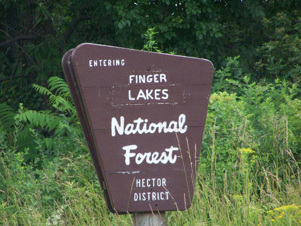
Entering Forest

Hiking along the orange trail in the northern part of the National Forest. Other trails allow horses, just not this one through the forest.

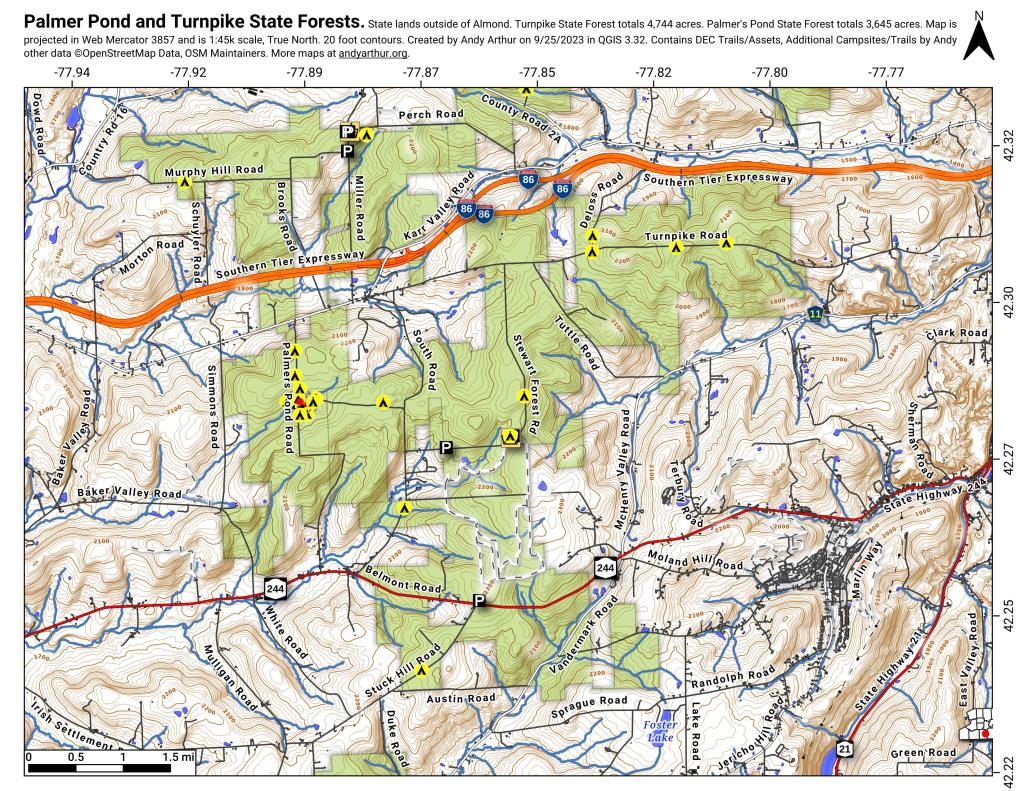
Palmer Pond and Turnpike State Forests

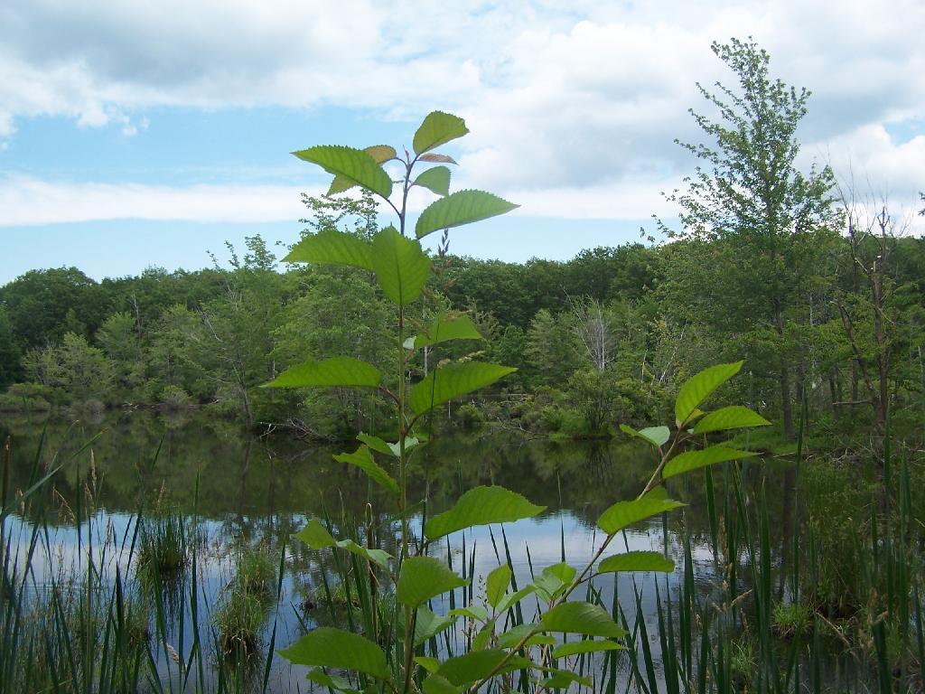
The northern portion of the Orange Trail passes this beautiful pond. There are places for tent camping along it — the USDA Forest Service is less restrict then DEC about camping, you need only be 50 feet away from water to set up a tent. They do not allow you to set tents up in cattle pasture during grazing season, for obvious reasons.

Pond

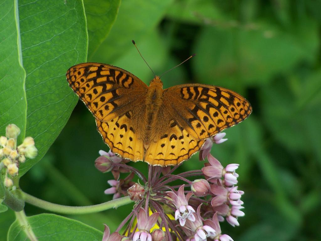
A beautiful orange butterfly was seen nearby that pond. There was an amazing amount of wild and domestic animals around when I explored things. There also was many deer, birds, and other things, to say nothing of both beeves and dairy cattle.

Butterfly

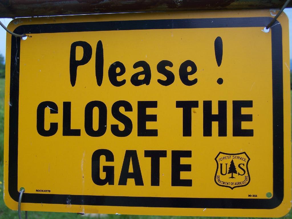
Many times the trails crossed into cattle pastures. To keep the cows from getting out, they had big reminder signs. It’s amazing that people could be so stupid to let the cows roam lose by accident. They don’t use cattle guards in this National Forest like they do out west, instead cows are fenced into pasture and off roads.

Close the Gate

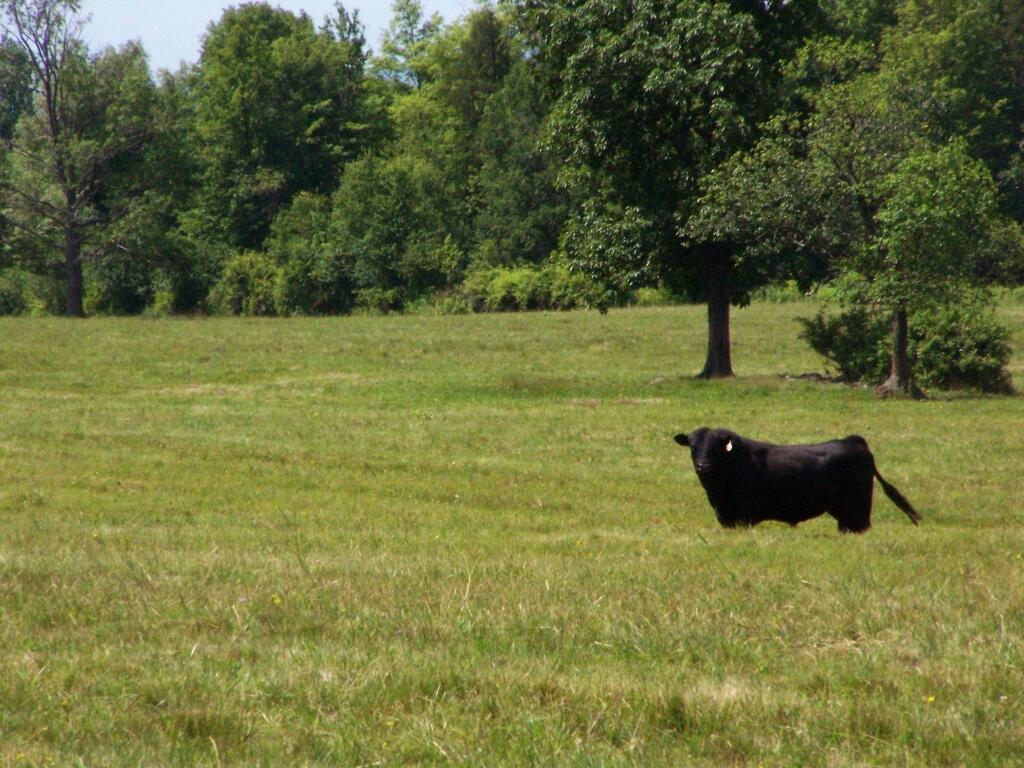
Howdy says the cow as you pass it on the trail. I think he liked my black stetson. They don’t see enough of them back east here.

Black Angus

Mind where you step on the trails.

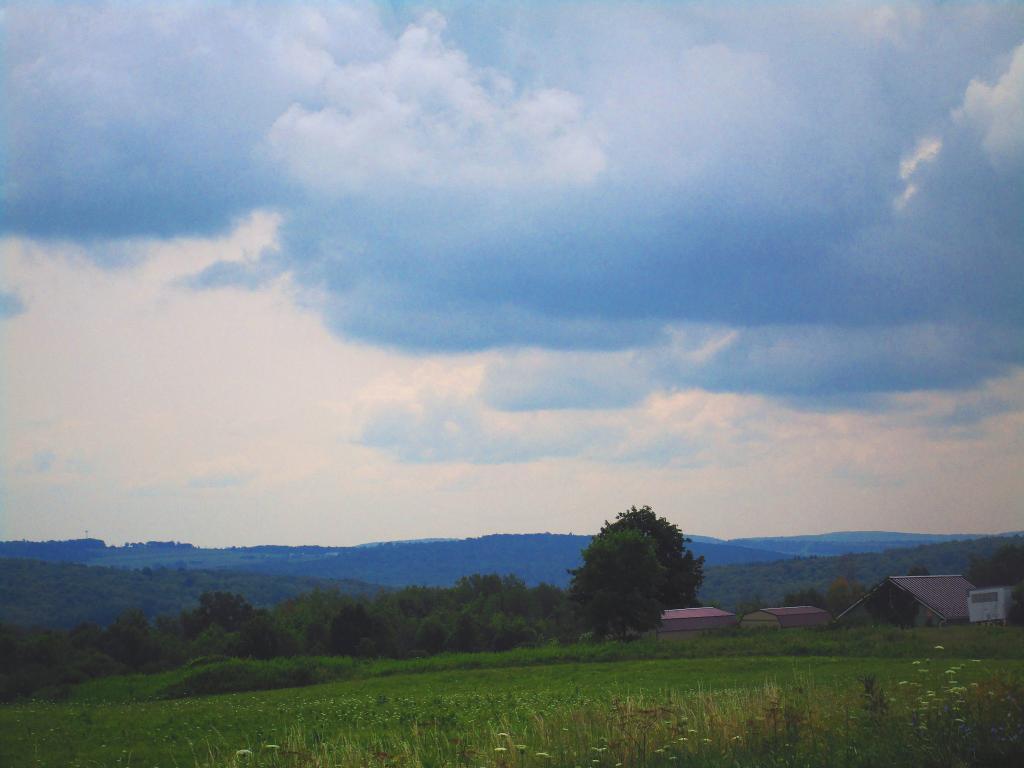
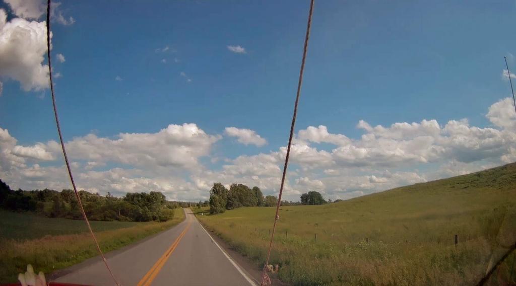
Clouds Hang Low Over County Route 21

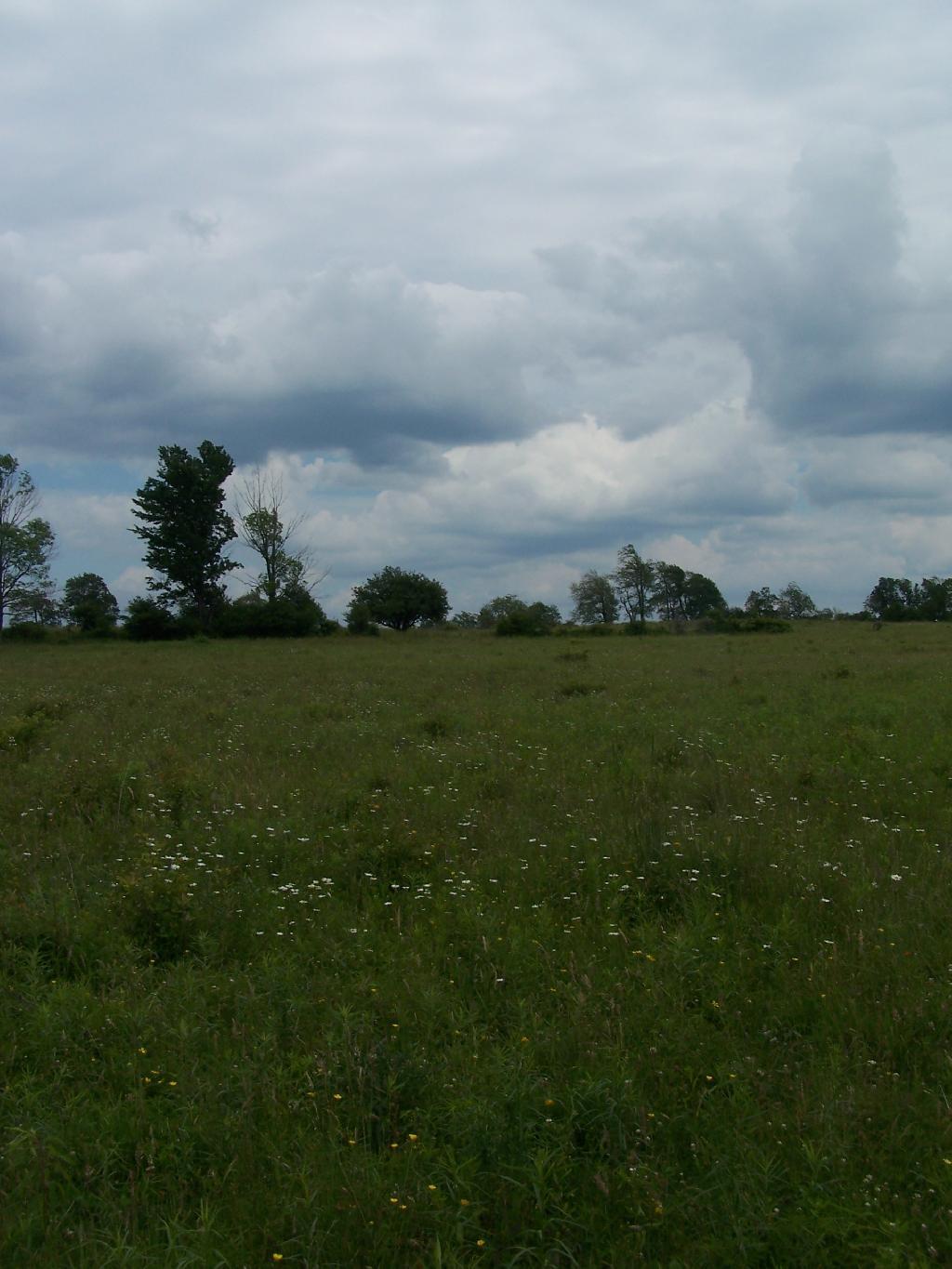
There are some pretty big pastures in this National Forest.

Junction Road

Later in the day, it started to rain.

Clouds

It really opened up and was raining so hard it was tricky to drive the dirt truck trails I was unfaimiliar with. That kind of sucked. Knowing that I wouldn’t be able to easily set up a tent in this heavy rain, that lasted most of the evening, and unable to find the road-side sites for camping (which I found in the morning).

I decided to stay at the Blueberry Patch primative campground in the National Forest, which costs $10 a night, via the honor system. They also have a group area, where groups can stay for $10 a night + 50 cents a person over 20 people. Quite neat. I paid, in part because the basic facilities (table/firepit/outhouses/nice tent platforms), where very well maintained.

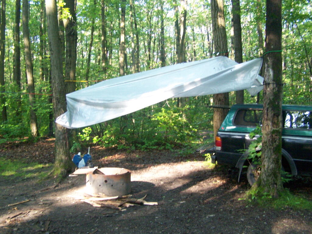
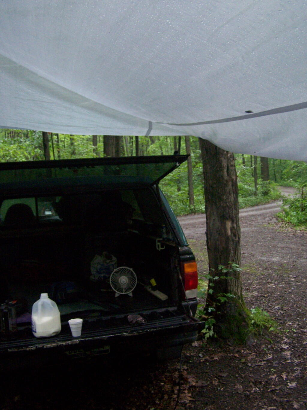
Once I got settled in, I got the tarp hung up over the back of my truck.

Tarp

And made some coffee mixed with Jack Daniels, and poured it into a styrofoam cup. It was real good and strong. It was good, dulled the pain and missery of the rain, and kept me up half the night.

Making Coffee

In the morning I drove around the National Forest to just check out some more of the lands and the beautiful pastures. This was my route around the area. Red was the drive on Sunday, Monday is in Orange. Free Campsites are marked with a tent, the $10 a night Blueberry Patch campground has a picnic icon, and the part of the orange trail I hiked along is marked with a blue line.


View Finger Lakes Trip June 2009 in a larger map

Here is a map of the entire parcel from the Federal Government.

Sunset Rock

After hiking Bash Bish Mountain, I decided it was early enough in the morning that I would have time to visit Sunset Rock on Cedar Mountain. It has some of the most impressive views around.

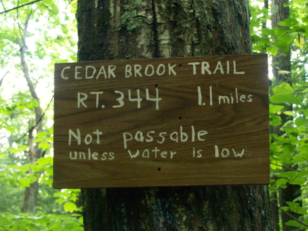
I decided to take the Cedar Brook Trail, the Blue Trail on up the mountain. This is not the recommended route if it’s been raining the day before hiking, like as it had been when I went out hiking.

Cedar Creek Waterfall

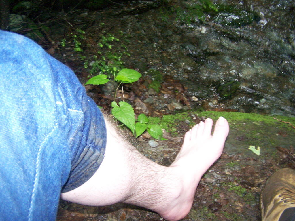
The trail crosses the Cedar Brook five times, and one of locations was deep enough I found myself wading through at least one of those spots.

Wading

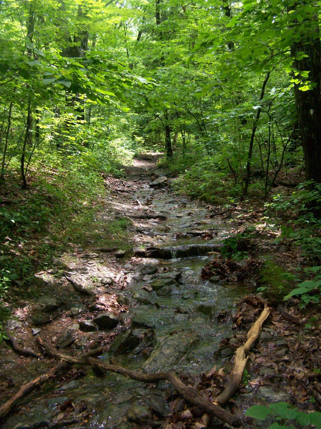
Once you climb out of the Cedar Brook Valley, via a rather steep trail, you connect up with the main South Taconic trail to Sunset Rock. This trail was much less wet then crossing the brook, but still rather flooded in several locations

Wet Trail

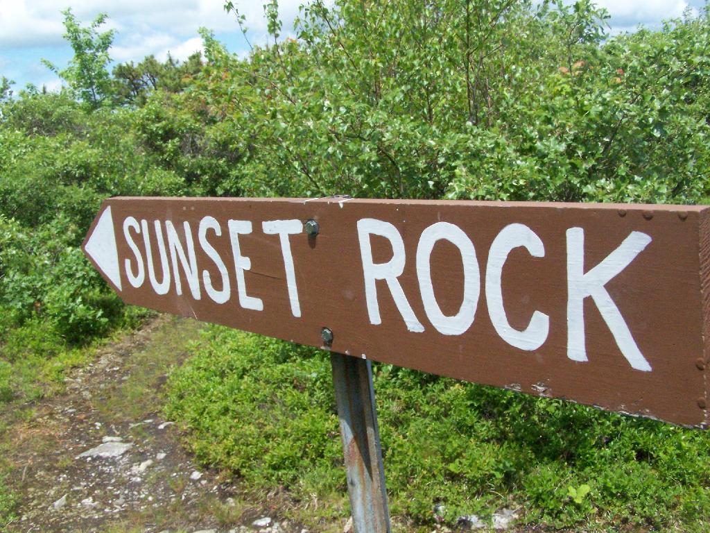
Once you reach the top, the foliage changes. First it goes to open canopy with ample ferns and decedious trees high above. At the top, it is quite open with just a little bit of scrub oak and ample blueberries around. From the must-needed Sunset Rock sign, you follow a trail about 1/4 mile to Sunset Rock, a small boulder you walk on top for wonderful views of the valley below.

To Sunset Rock

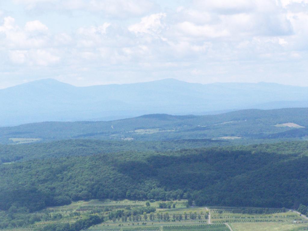
The views from Sunset Rock are amazing. As you could see by this picture, it’s gotten very clear out by around 1 PM. I have to say this is one of the nicer views I’ve seen around, with the Catskill Mountains in the background.

The View

Here is what it looks like towards the South-West, towards Overlook Mountain and beyond that, the Shawangunks.

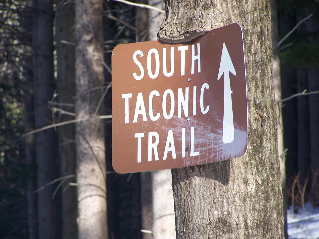
South Taconic Trail Sign

The main South Taconics Trail descending Sunset Rock was much drier, following an old wagon road, that is smooth enough you could drive a regular car up it. If you have any question about how wet it’s been, this route is the one to take. I will upload a photo later.


View Hiking in 2009 in a larger map

Building a Fire

It amazes me how much trouble adults have building fires for cooking or campfires. I spent much of my younger years building campfires for Boy Scouts, and often build fires when camping, so I guess I have more experience then many others. Let me suggest a few tips.

No 1: Collect Plenty of Wood

Ideally you should have enough firewood for your whole camp or cooking fire before you start out. Most important is to have plenty of small wood, tinder, the size of a match stick or smaller, along with kindling, which is slightly larger, the size of small branches, before you light your first match.

Make sure to have the wood, particularly the tinder and kindling within easy reach. You don’t want to run out of wood when your building your fire, as it will likely go out when your search for more wood, particularly in the first critical minutes of your campfire.

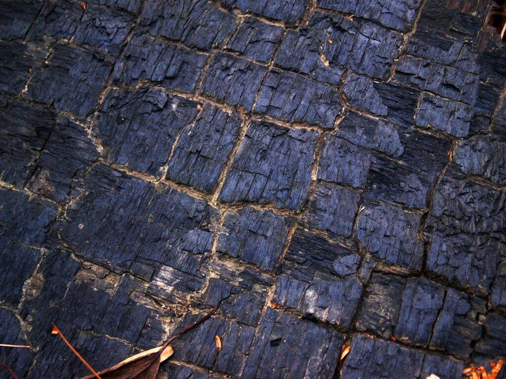
Chared Woods

No 2: Lots of Tinder Only At First

The second biggest mistake when starting a fire is to try to add too much wood at once. It might look purty to build a teepee out of kindling on top of your pile of tinder, but it totally unnecessary and probably will lead your too small of pile of tinder to burn out without igniting the kindling. This mistake is probably the most common in fire building.

There is nothing wrong with starting with a big pile of tinder at first, with nothing bigger on it. If your kindling is wet, then you might want to a few amply spaced pieces over a big pile of tinder to help dry it out, but be careful not to put too much on it.

No 3. Add Kindling Cautiously When Tinder Burning

Once you have gotten the tinder burning sufficiently, then start by adding kindling slowly to the fire. Assuming it is not wet, it should ignite relatively easily. Make sure to keep plenty of tinder burning, do not let it go out while you add kindling.

When your adding kindling, the tinder fire should be flashy and have plenty of tinder to be burning. If the tinder is burning out before or while you are first adding the kindling, the fire is going to go out. Fires at the tinder stage are delicate beasts, you have to constantly maintain them. Once the kindling is burning well, one can add fuel wood relatively easily, just making sure the kindling doesn’t burn out in the process.

No 4. Be Aware of How Wet Your Wood Is

Wet wood will burn, but it will require a lot more heat from the fire to burn, and will take longer. Drier woods with sap like white pine will burn quickly, hardwoods will burn slower and hotter, and punky wood (rotted) will burn slower and cooler. These are facts one should consider when building a fire.

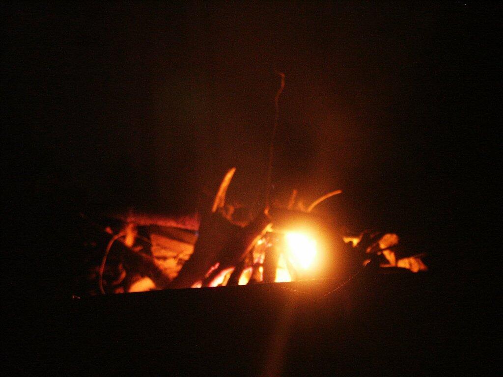
Teepee fires are ideal for campfires where you want lots of light and quick combustion of wood. Log cabin-style fires, and criss-cross fires are better for heat and coals when cooking. Regardless of the style of fire you choose to build, you will get best results if you don’t start laying the fire out in the style you desire until you start burning fuel wood.

Campfire

October is Here

I look around and take a step out in the brisk October weather. I never expected this month to come so soon.

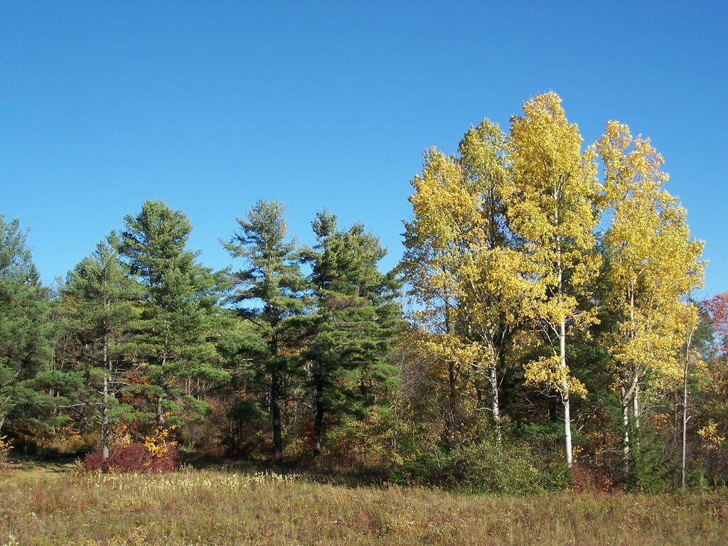
Yellow Birches

It was so warm out. It felt like summer for most of the previous month. Certainly not early fall as many of us consider September to be. Yet, fall came and now we are well into it.

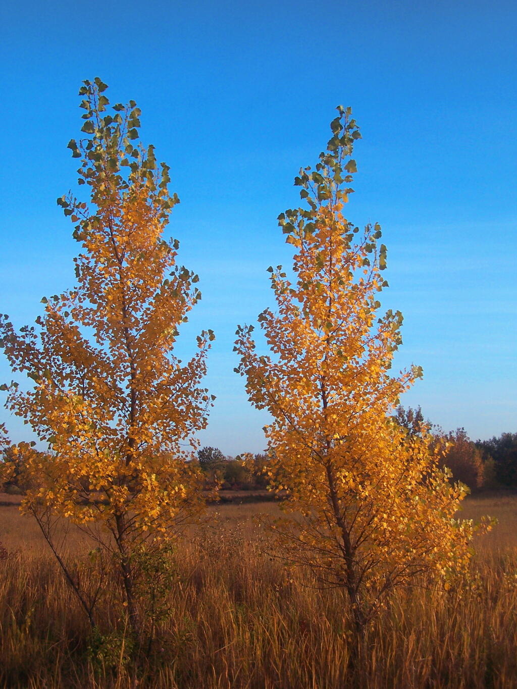
Twin Tree

The color is poping up. But it’s not as clean yellow, red, or orange as we normally would expect. It’s been too dry to get the beautiful colors this year, so we are seeing more brown. And that brown is spreading all over from crops to the fields.

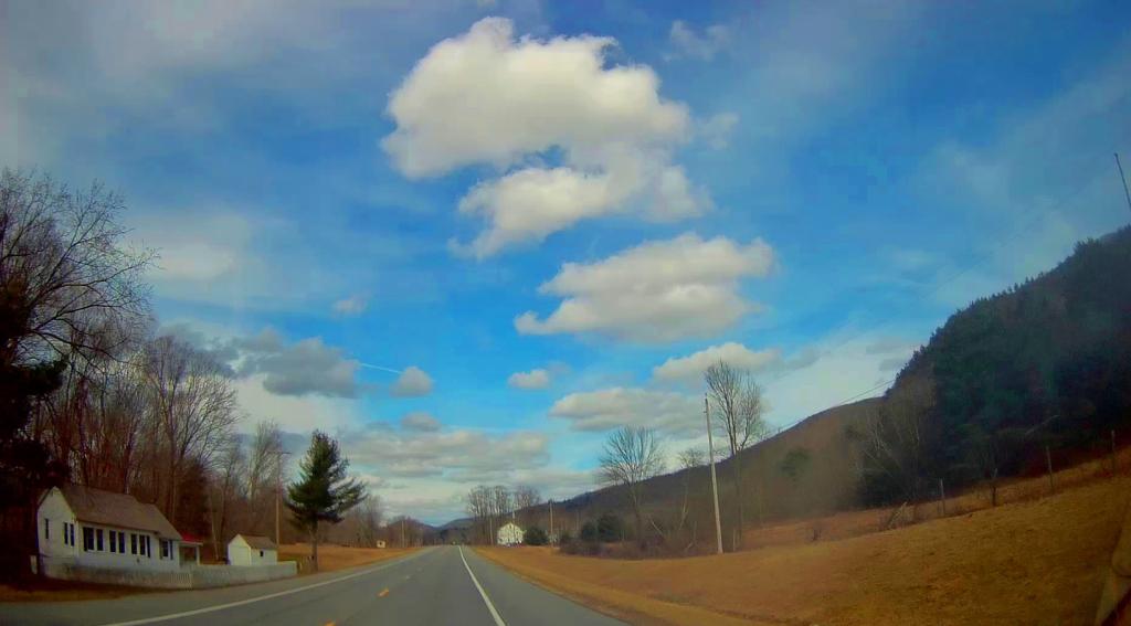
NY 313 Batten Kill Valley

It was not an excessively dry September of August, as we had some bursts rains, and our early summer was wet. Yet, it still left many with smaller apples, less lush hay, and pumpkins that were not as big or attractive as they might have been other years. But that’s how it goes with farming.

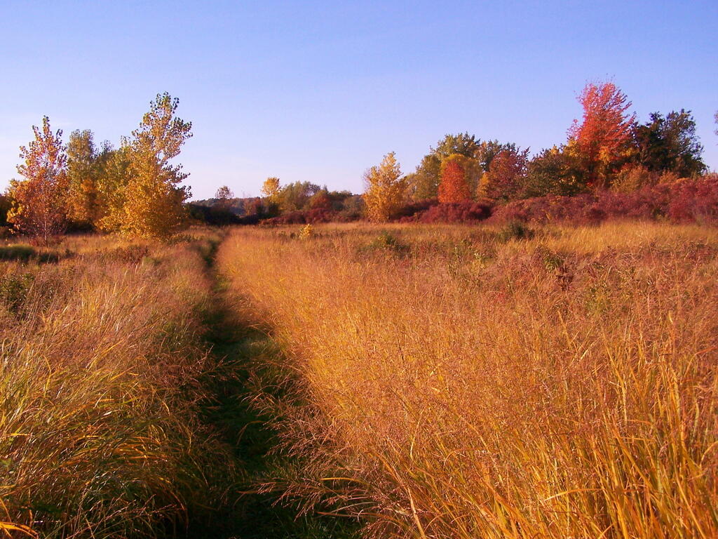
Through a Field

We have to look forward to October and the beautiful weather it will bring. Leaves are still not at their peak and all the crops are still not in. Frost is still a few weeks away, particularly with our warm weather. But clear skies are on the way. So enjoy your October.

Route 357 Outside Danemora