Search Results for: photo camp only at designated sites

Camping on Hope Falls and Pumpkin Hollow Roads

There are several campsites a on side roads, little ways off of NY 30, as you head North from Northville towards Wells NY. These campsites are nice if you starting off into the Adirondacks, and are looking for a convenient place to camp for the night, and want campsites quieter then those on NY 8 / East Sacanadaga River.

These sites are all designated with official “Camp Here” discs.

Road Number of Sites
Hope Falls Road 3 Vehicle
3 Tent Sites
Pumpkin Hollow Road 2 Vehicle (Between Willis Lake and Inholding)
1 Vehicle (Beyond Inholding)

Hope Falls Road.

From Northville on Hope Falls Road, you drive north and north. The paved road goes on for several miles, until you finally reach the “Seasonal Use Only” sign, and hte pavement ends it becomes a one lane road.

 Hammond Pond Wild Forest - Green Hill Parcel

Click the map above to print it.

None of these campsites are particularly fancy, although there is a single outhouse for the first grouping of campsites on the southern port of the road.

Gulls on the breakwater

All of the campsites run along Stoney Creek …

Stoney Creek

Pumpkin Hollow.

The campsites are a ways back on Pumpkin Hollow Road, a dirt road, beyond Willis Lake and the camps along it. Pumpkin hollow is a short ways south of the Sacanadaga River DEC Campground, it starts out as a paved road by a white house, then eventually a mile or two back becomes unpaved and one lane.

Blue skies

You can print the above map by clicking on it and printing it.

Willis Lake

Here’s sample designated campsite on Pumpkin Hollow Road.

Designated Campsite

And Pumpkin Hollow Road…

Pumpkin Hollow Road

Camping in the Allegheny National Forest

Last fall I spent two days camping in the Allegany National Forest, which is south of Salamaca, NY and west of Bradford, PA. Two days in mid-November provided a limited time to explore the area, in part due to the short days between sunrise and sunset, requiring me to back to camp no later then about 3:30 PM in the afternoon to gather wood and prepare for the coming sunset at 5 PM.

Allegany National Forest Sign

Throughout the Allegenheny National Forest there are many truck trails that pass oil and gas wells, provide access to timber stands used for logging, and also access to hunters, fishermen, hikers, and camping. Most of the forest is not mature stands of trees, and indeed the whole area has a very working-forest nature to it, by no means is it wilderness.

Thined Out Area in National Forest

Camping is allowed along all of the dirt roads except for roads specifically designated scenic byways. It is strongly discouraged by that vehicle travel off the roads any further then neccessary to prevent erosion. Dotted along the roads are places where people have camped in the past, in fields and other desirable places. Campsites are very primative, and have only rock fire places left by previous users.

Owls Head Firetower

I camped off of Forest Service Road 154, quite a ways above the Allegeheny Reservior. It was a decent little site, pretty far back, and nice and hard, so I need not worry about sinking into the ground. I also felt wildfire danger was lower this time of year, as there was not the dry grass here, and the leaves where damp from dew.

Campsite I Stayed At

I strung a line out to hang up the Christmas lights I used for ambiance and background lighting at night, and built a campfire in the firepit. I was moving stuff between the cab and the back of the truck when I took this picture.

Oil Heating in NY State

Inside my camping rig when I was camping up there.

Packing Up the Gear

In the evening, watching the sun set, a little after 5 pm…

Sunset at the Campsite

There are many things to see at Allegheny National Forest (all free) from the Rim Rock to views from Jakes Rocks to the views of Reservior. There probably was much more I could have seen had I spent more time camping up there.

Reservoir Dam

What people crash into on icy and snowy roads

Sugar Bay 4

… I hope you enjoyed this brief look back from my experiences camping up at the Allegheny National Forest in November 2010.

Designated Campsite

This is one of eight designated campsites around Big Pond. They are free to use, but are limited to 6 people, and you can only stay at one site for 3 nights without a permit.

Taken on Sunday August 29, 2010 at Big Pond.

Camping at Big Pond

Big Pond is one of the two larger ponds in the Catskills accessible to the public. Located in the Western Catskills, near Alder Pond, it has eight paddle in or hike in tent sites, and some pretty views. I spent the night camping up there on August 27.

Night is Creeping Up on Me. I didn’t realize how quickly it got late at Big Pond, and I had even started dinner. To make matters worst, my white-gas lantern wouldn’t start, so I had to do everything by flash light.

Night is Creeping Up on Me

Dark Night Before the Moonrose. All you can see is by the light of the campfire. I didn’t have a lantern, because it refused to start.

drought-status-ny [Expires September 1 2023]

Waking Up at Big Pond. Looking out the window of tent prior to dawn, with a little smoke from the fire still smoldering, and lots of fog.

Waking Up at Big Pond

Pond Prior to Sunrise. The fog rises above the pond. It looks perfect for taking photos, so I decide to hop in the kayak, and go for a paddle.

Pond Prior to Sunrise

Campsite. Yes, the beer cans are empty, and I am using that pot to boil water for coffee, because I left the coffee pot in the truck. I doesn’t matter much because I use a coffee press to make the actual coffee.

Campsite

Firepit. This is while I’m making coffee and getting ready for the day.

Firepit

Paddling Gear Back. With all the camping gear in the kayak, or most of it, including the stove and pot top on the deck. The kayak rode well with all the gear.

Paddling Gear Back

Big Pond from Parking Area. It certainly was quite pretty out there, and a great unguarded swimming beach that was packed with people.

Big Pond from Parking Area

Bear Bag. Actually it was a peanut can, with cookies and other things. And despite the bear coming through, he left my site alone, and didn’t even try to get the bear bag that was about 12-13 feet off the ground, suspended from a limb, and 10 feet plus from the tree where it hung.

Bear Bag

Tent. Yes, occasionally I will sleep in a tent. This actually is the second time I’ve slept in a tent this year. One other time I slept in a lean-to and the rest has been truck camping.

Tent

Designated Campsite. This is one of eight designated campsites around Big Pond. They are free to use, but are limited to 6 people, and you can only stay at one site for 3 nights without a permit.

Designated Campsite

Looking Up at the Ash Trees. I was looking up at all the ash trees around the lake, and realizing that within 20-30 years they will all be gone. The maples will most likely replace them, but they also risk the Asian Longhorn Beetle.

Looking Up at the Ash Trees

Parked at Campsite. It was a pretty blue lake in the morning.

Parked at Campsite

Finally Put That Smoldering Log Out. Remind me again, never to use a big punky old log like that in a campfire. It took a ton of water and rubbing the coals to get them to snuff out.

Finally Put That Smoldering Log Out

Blue and Green. I just liked this view from the campsite.

Blue and Green

Camping at Polliwog Pond, Aug 13

Fish Creek Ponds is a series of largely connected ponds in Northern Adirondacks, North of Tupper Lake. On Floodwood Road, there are series of 15 free drive in campsites one can camp at, with about half of them located on various lakes along Floodwood Road. On Friday night, August 13, I camped out at Poliwog Pond, and then paddled around it a bit in the evening, and then again in the morning. I also drove out around Floodwood Road, to look at the ponds and other campsites along it.

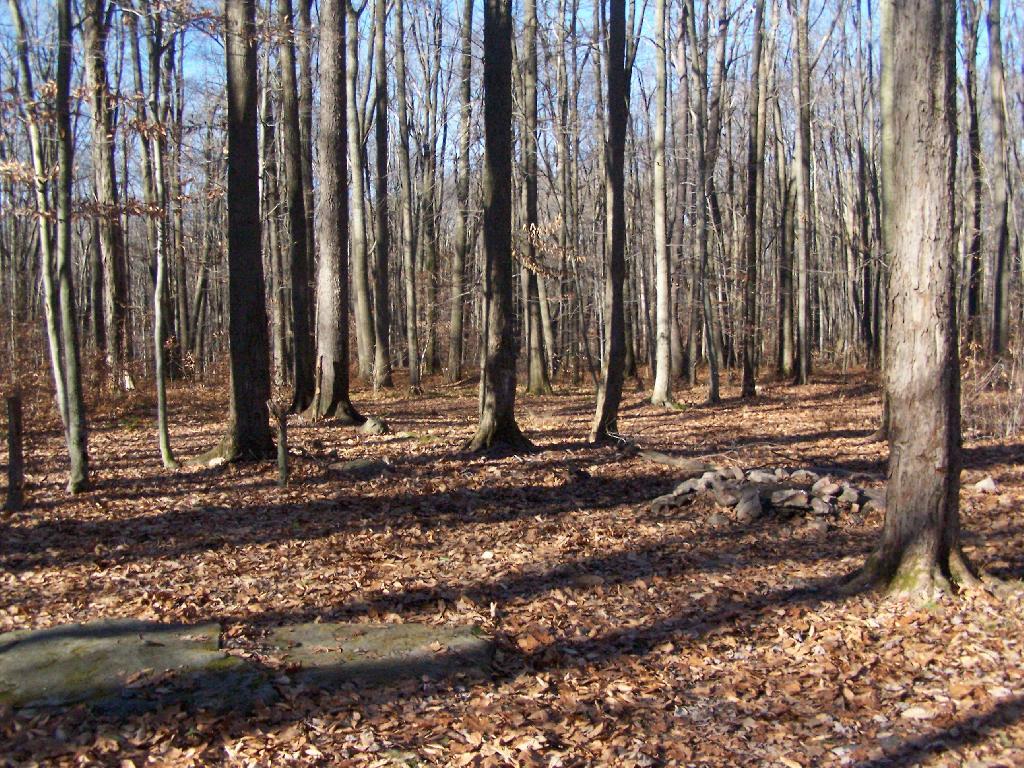
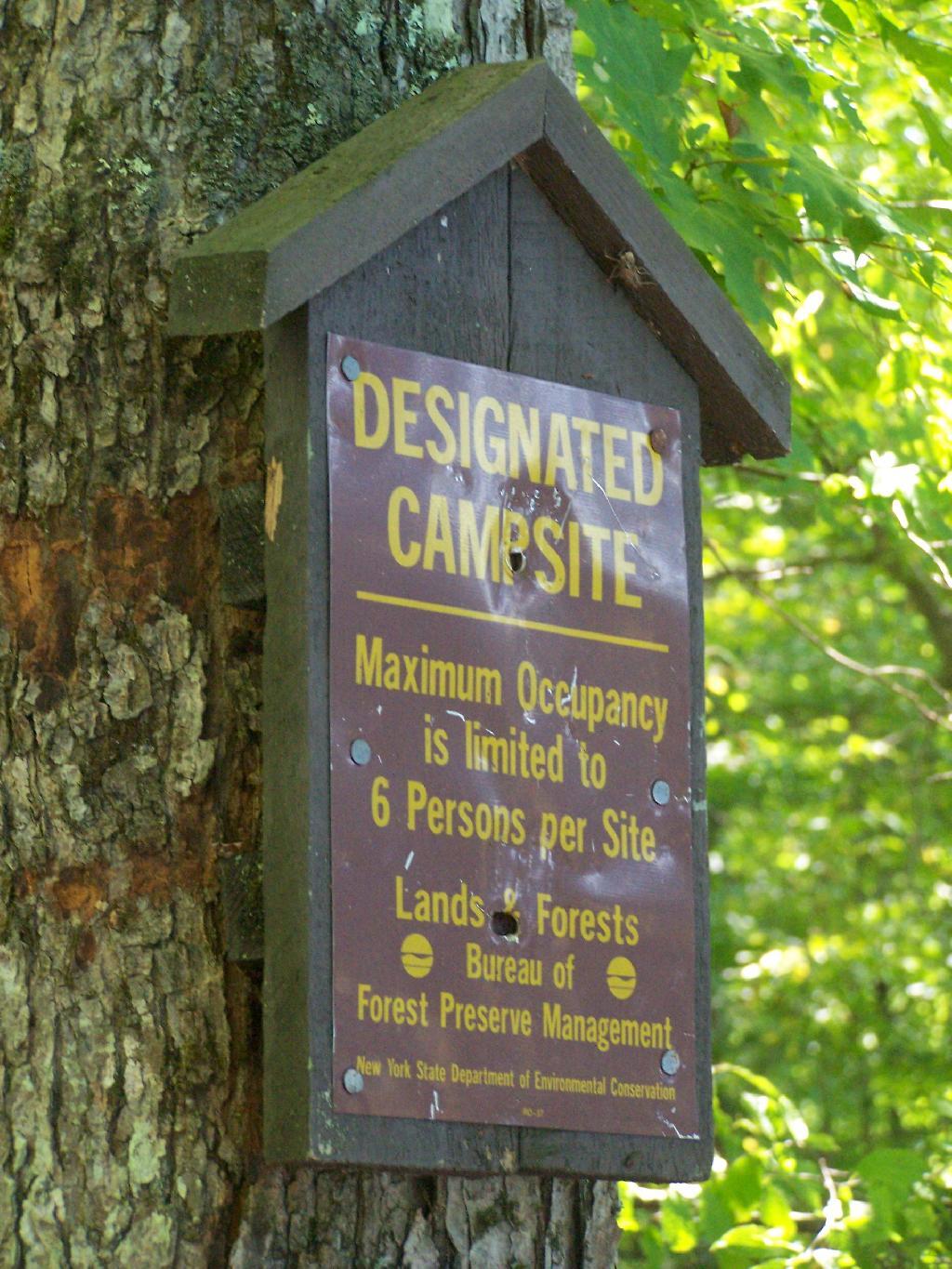
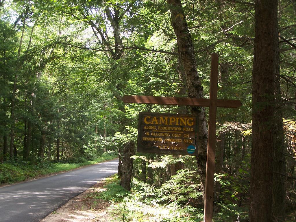
Camping Only At Designated Sites. This sign is found along the beginning of Floodwood Road, prior to the blacktop running out. There are 15 sites, that appear not to be fully used, on this lake.

Camping Only At Designated Sites

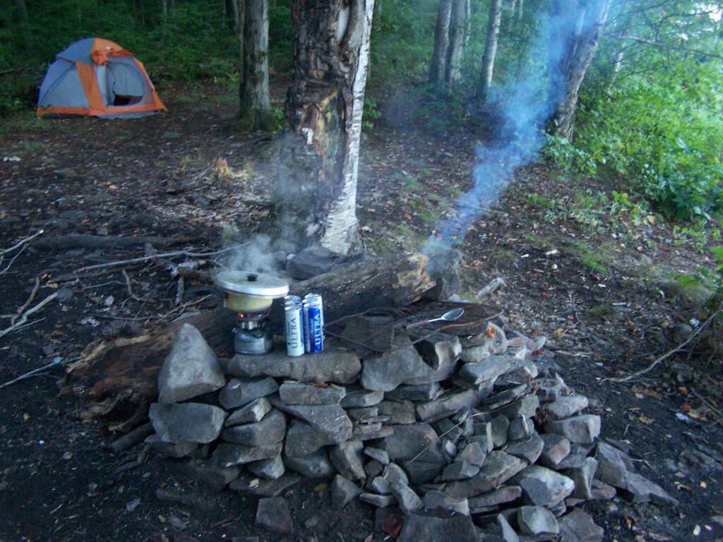
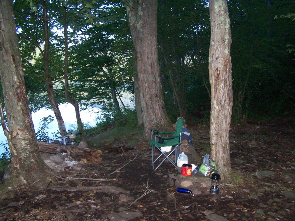
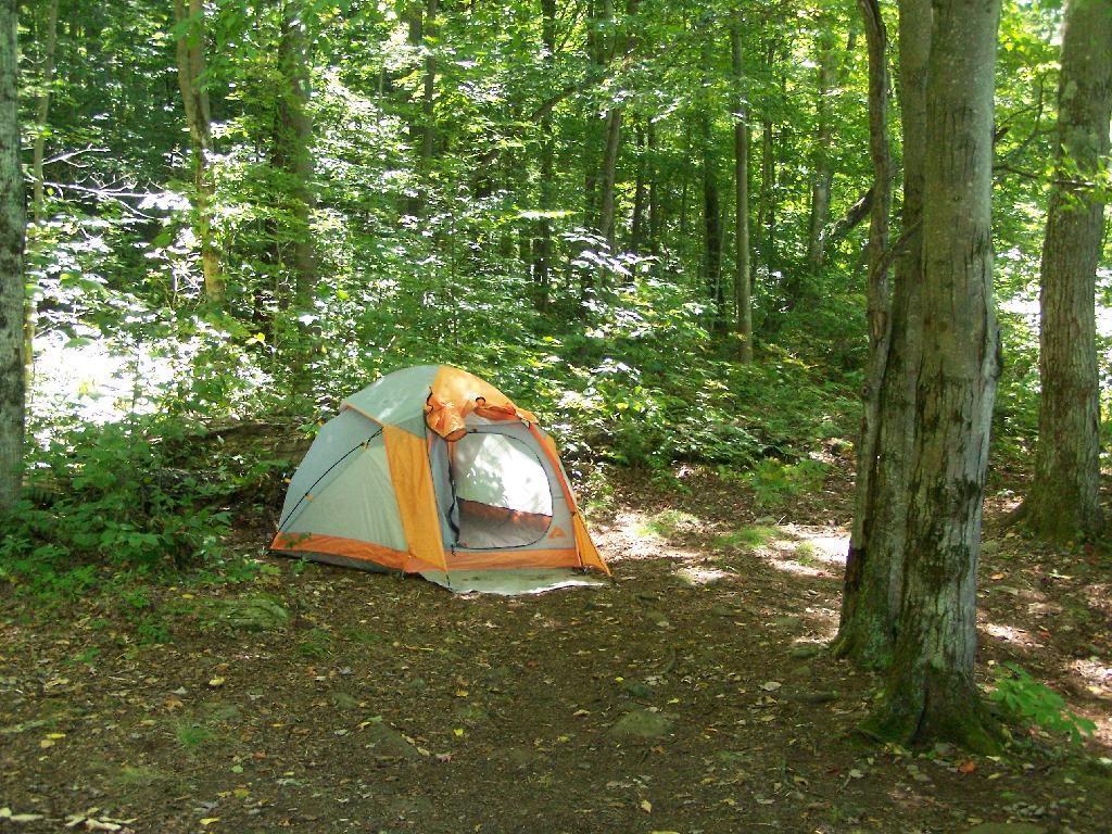
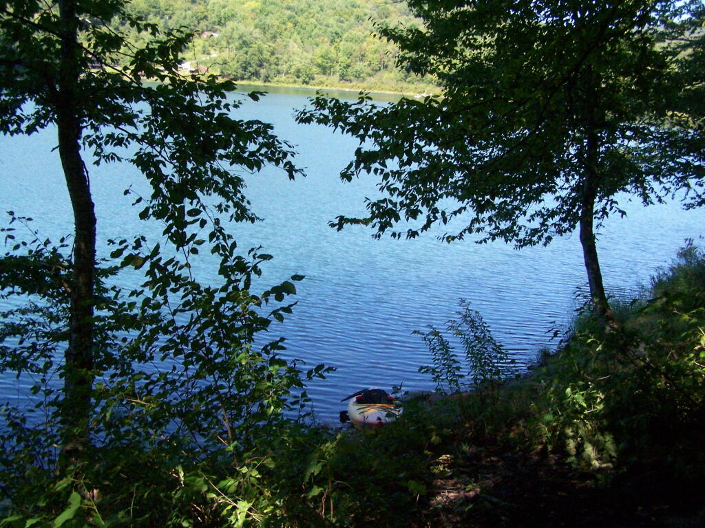
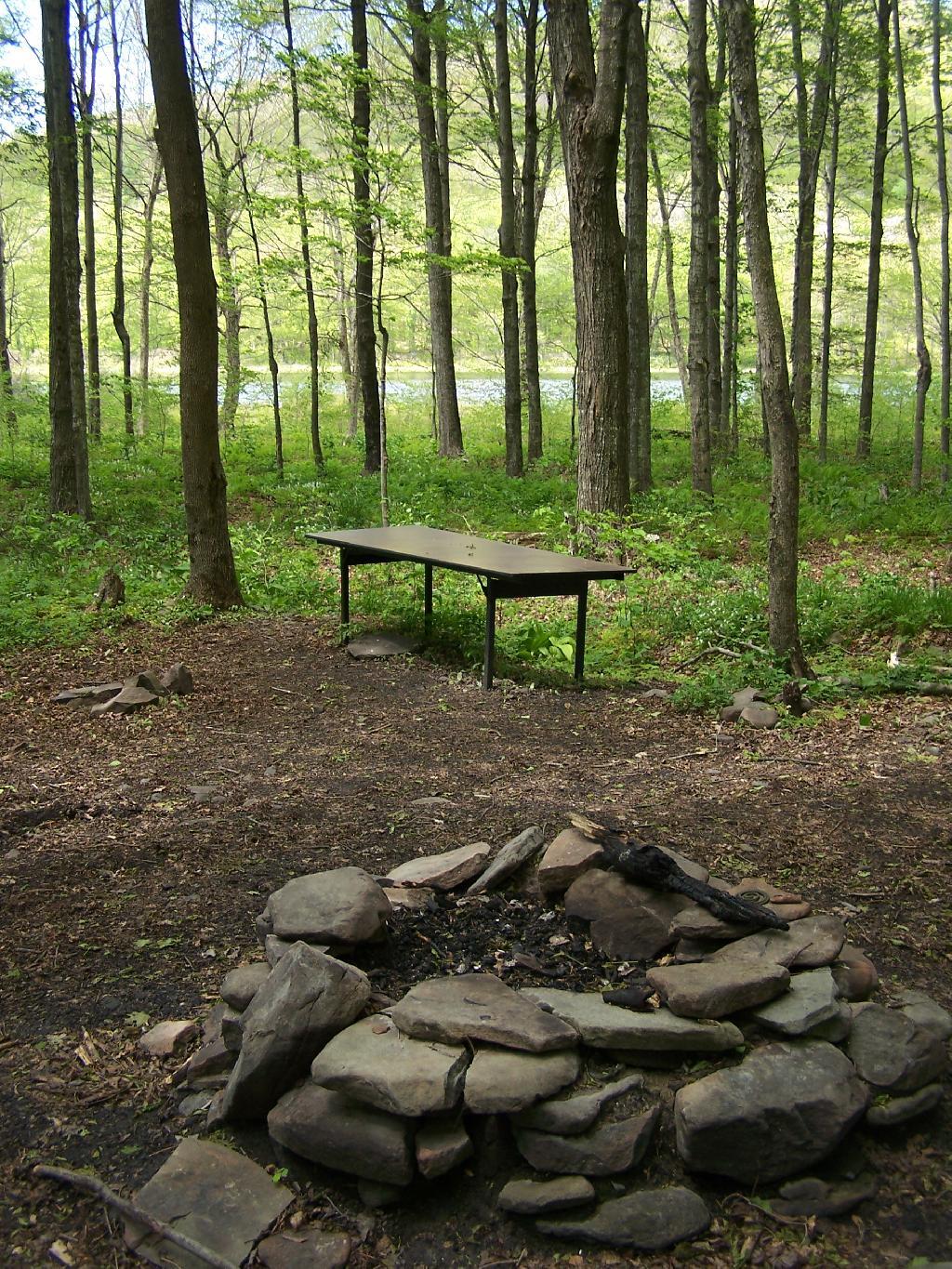
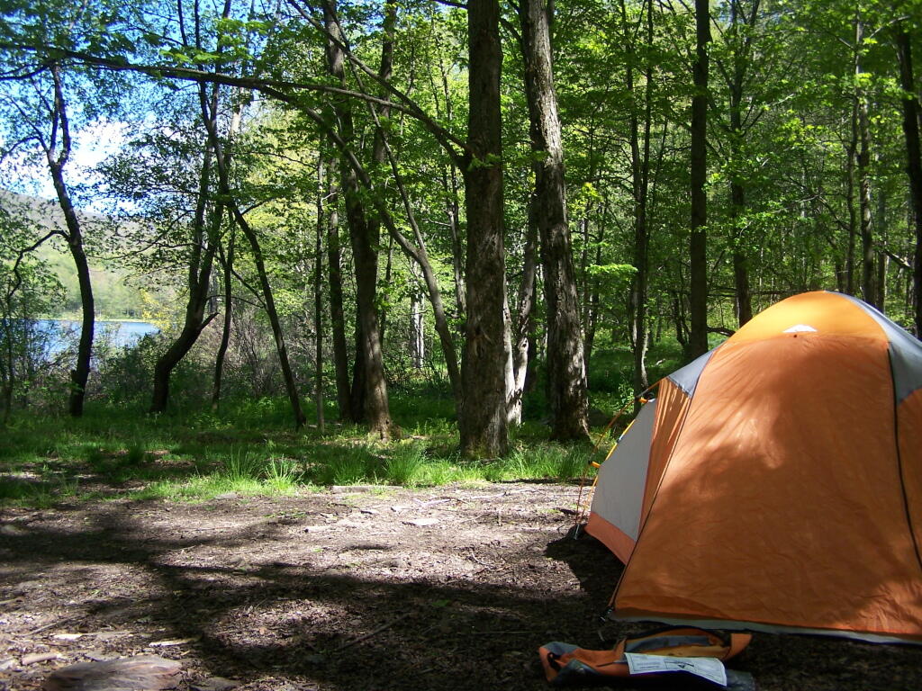
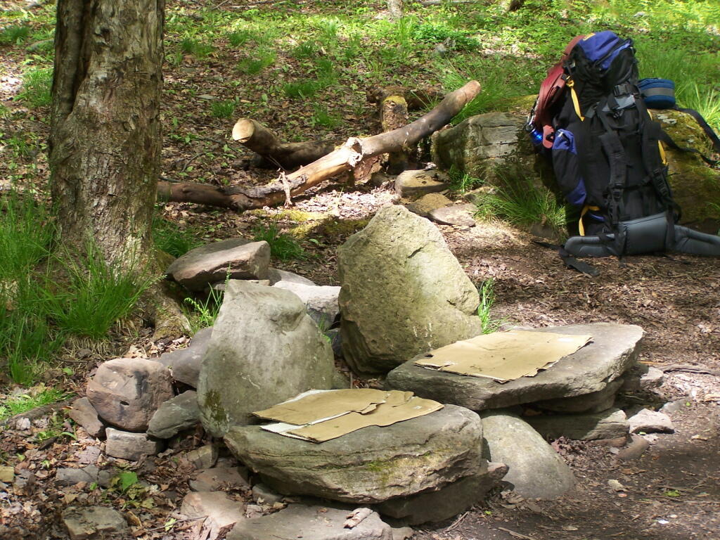
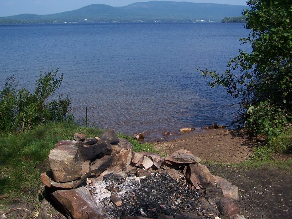
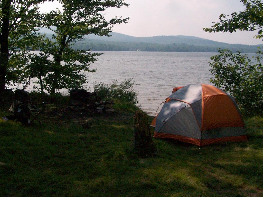
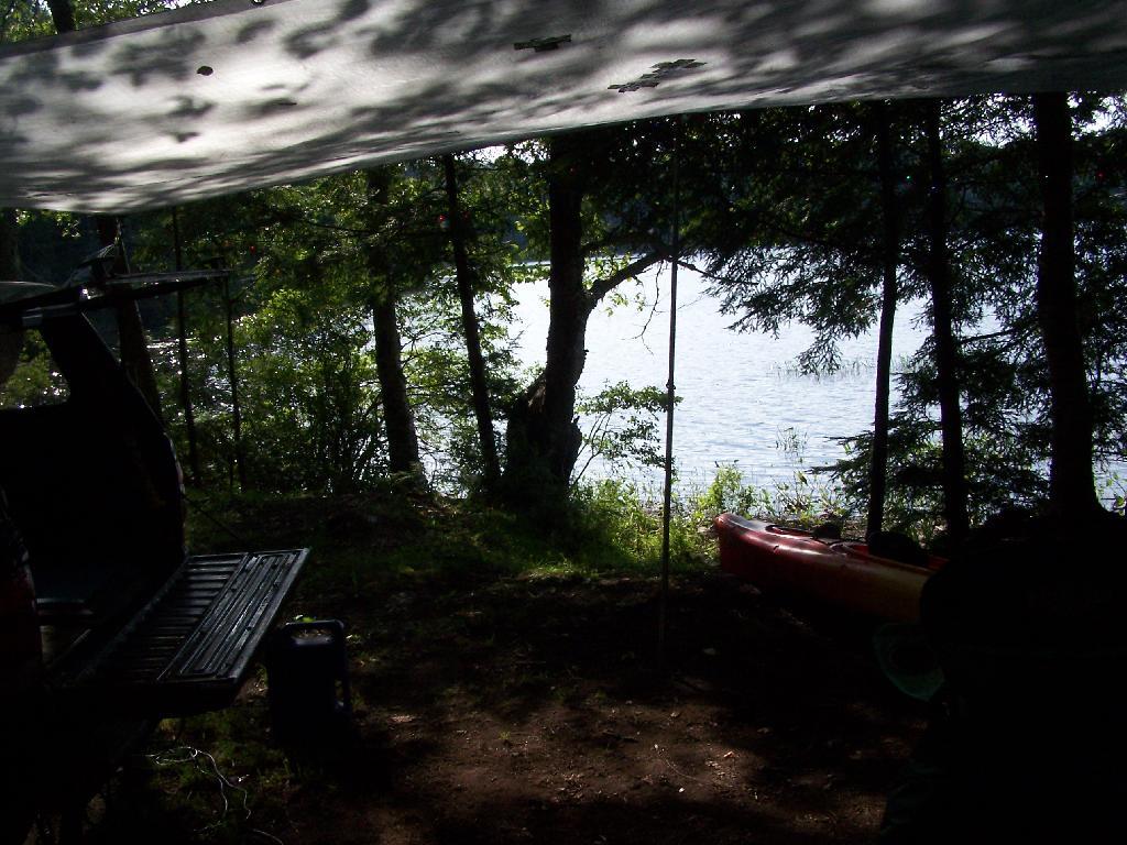
Campsite on Polliwog Pond that I stayed at on August 13th. This site would be truly the most perfect in the world, except for being so close to another one and the fact that the beach area next to the site was kind of swampy and not nice.

Campsite on Polliwog Pond

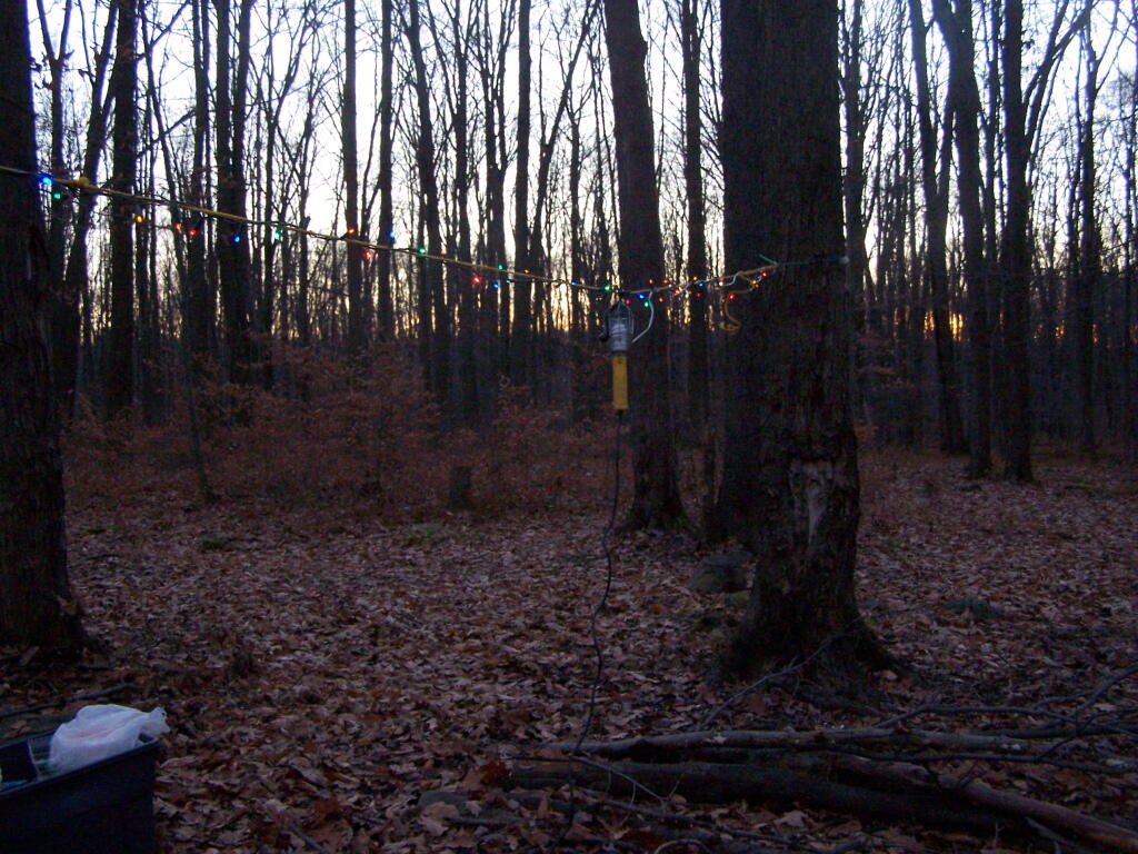
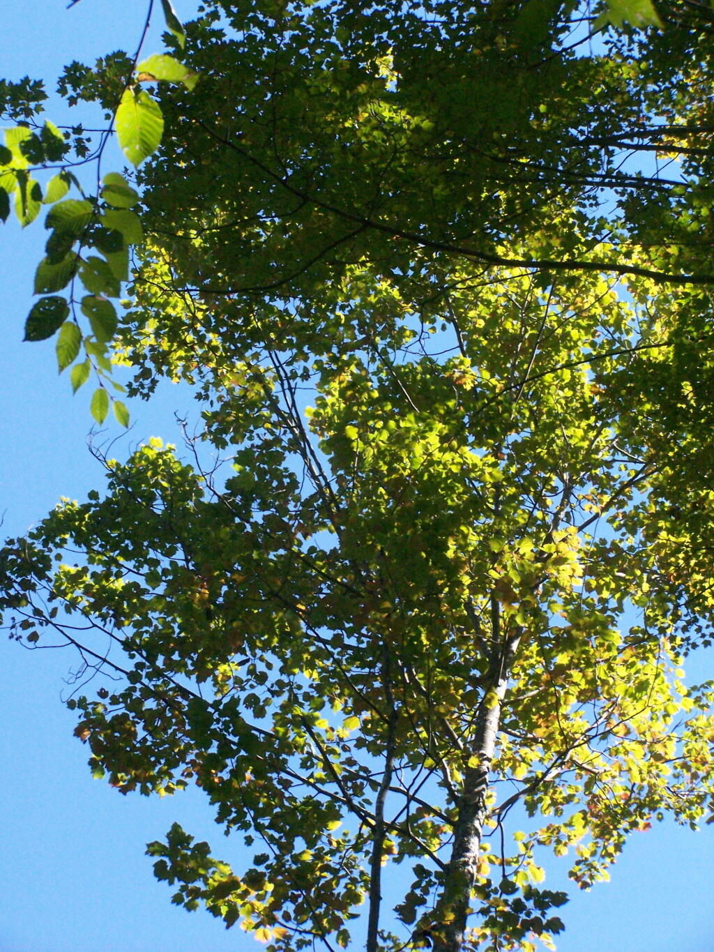
Under the Tarp. While when I was up at Poliwog Pond I didn’t really need the tarp, I set up a tarp. It was a beautiful day out for sure down here, right on the pond. The tarp was easy to set up, with the plentiful trees to make it easy to tie up.

Under the Tarp

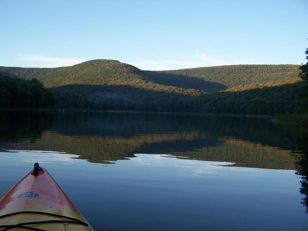
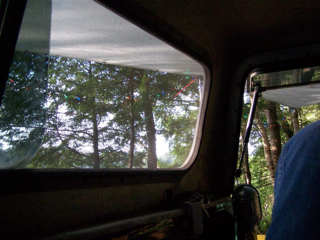
Laying Back in Truck Cap. Ah, mornings. Lazy times. But then again, I got to paddle around the lake, get some pictures, pack up and head north. So be it.

Laying Back in Truck Cap

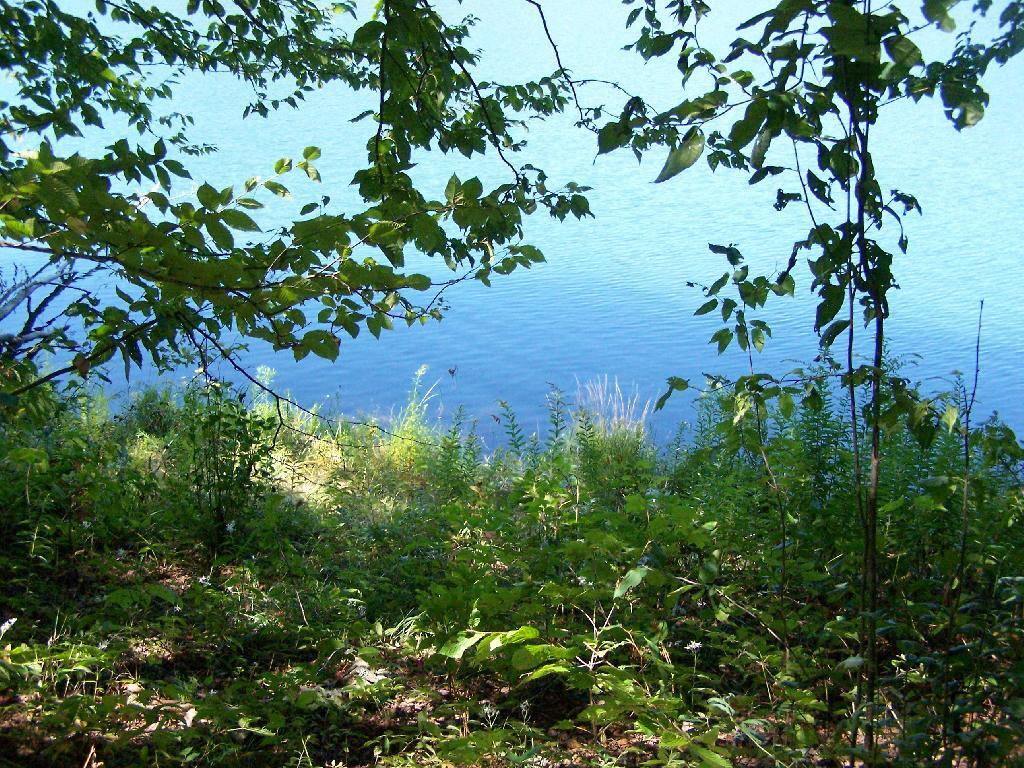
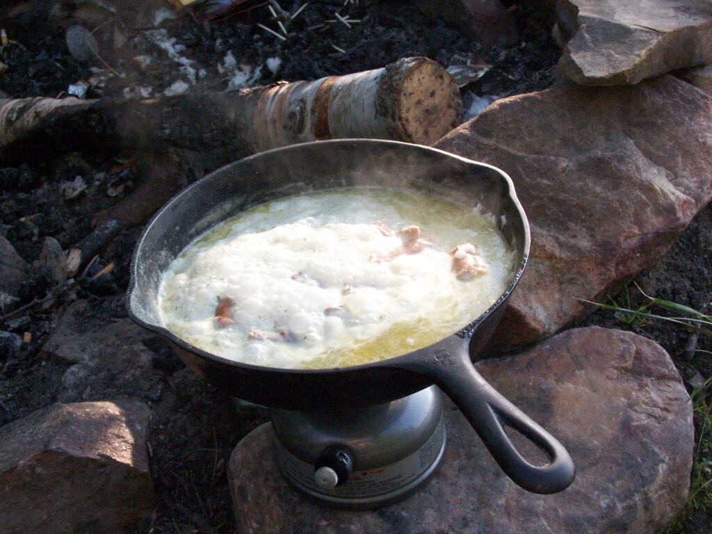
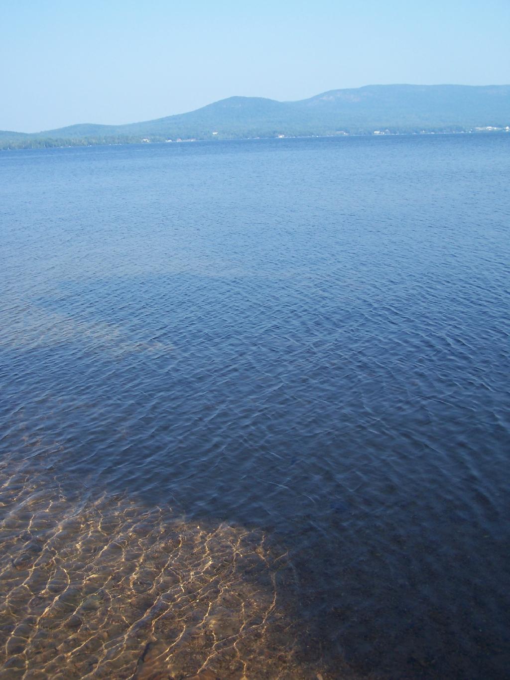
Private Bay for Swimming. Once I started to get ready, I put on my swimming trunks, paddled across the lake, around an peninsula, to a very private bay. I took a “bath” using the teapot, soap, and shampoo on the bank, washed the soap off, then went swimming in my own little private beach. Nobody else was around! It was wonderful.

Private Bay for Swimming

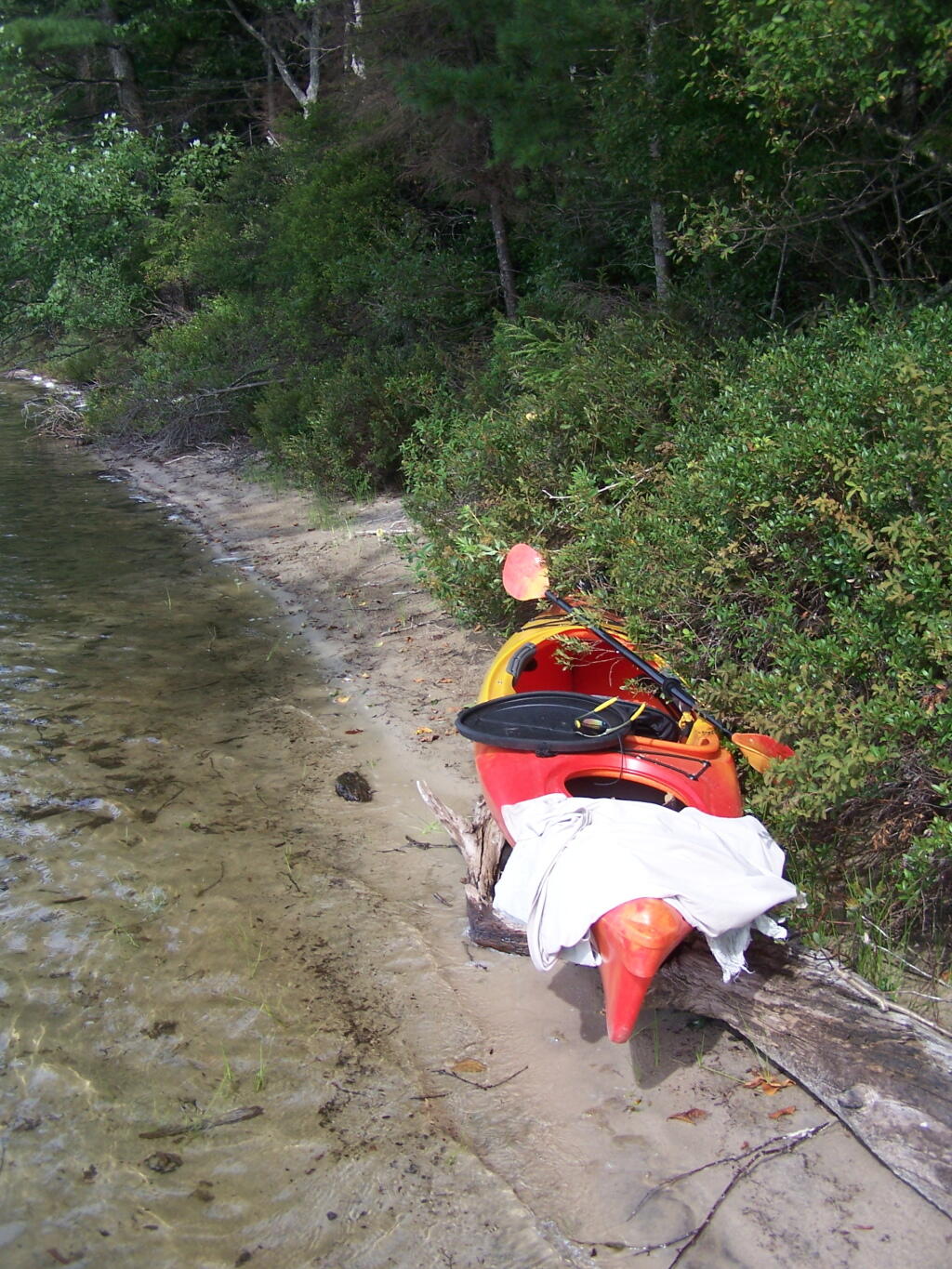
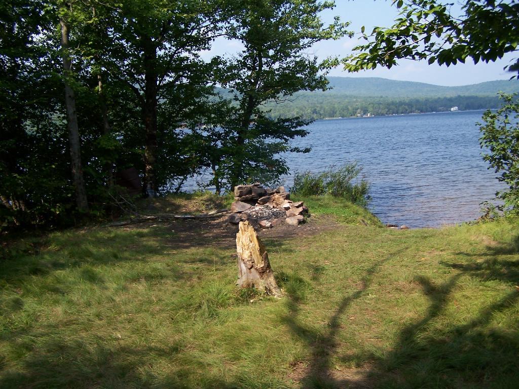
Perfect Area for Swimming. The downed tree blocked the waves, it was sandy beach. I really liked this area a lot.

Perfect Area for Swimming

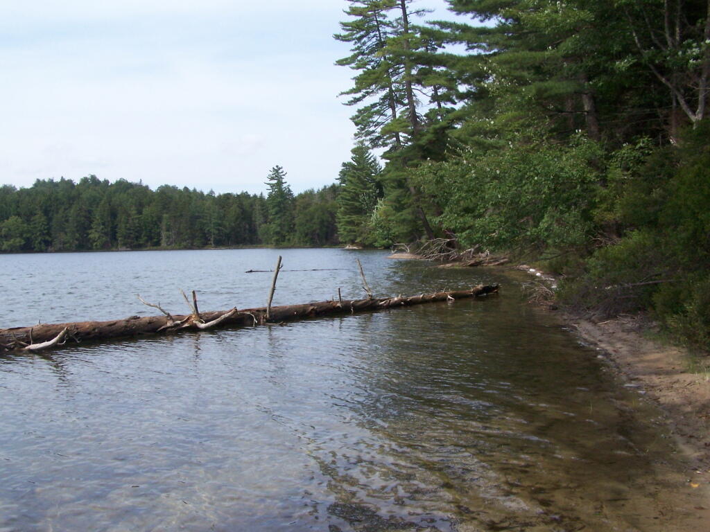
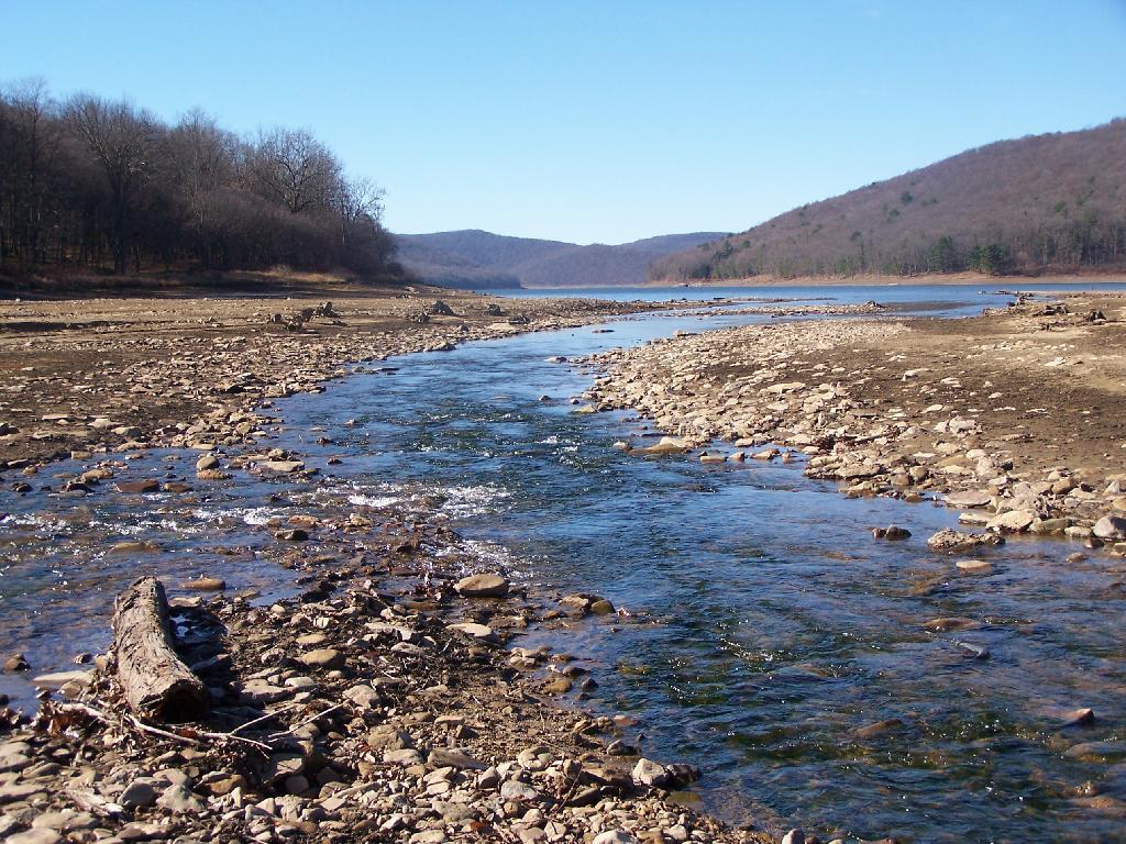
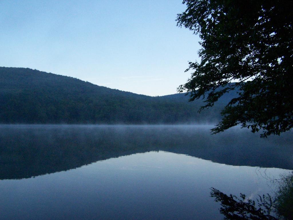
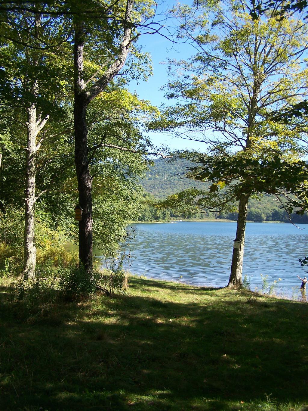
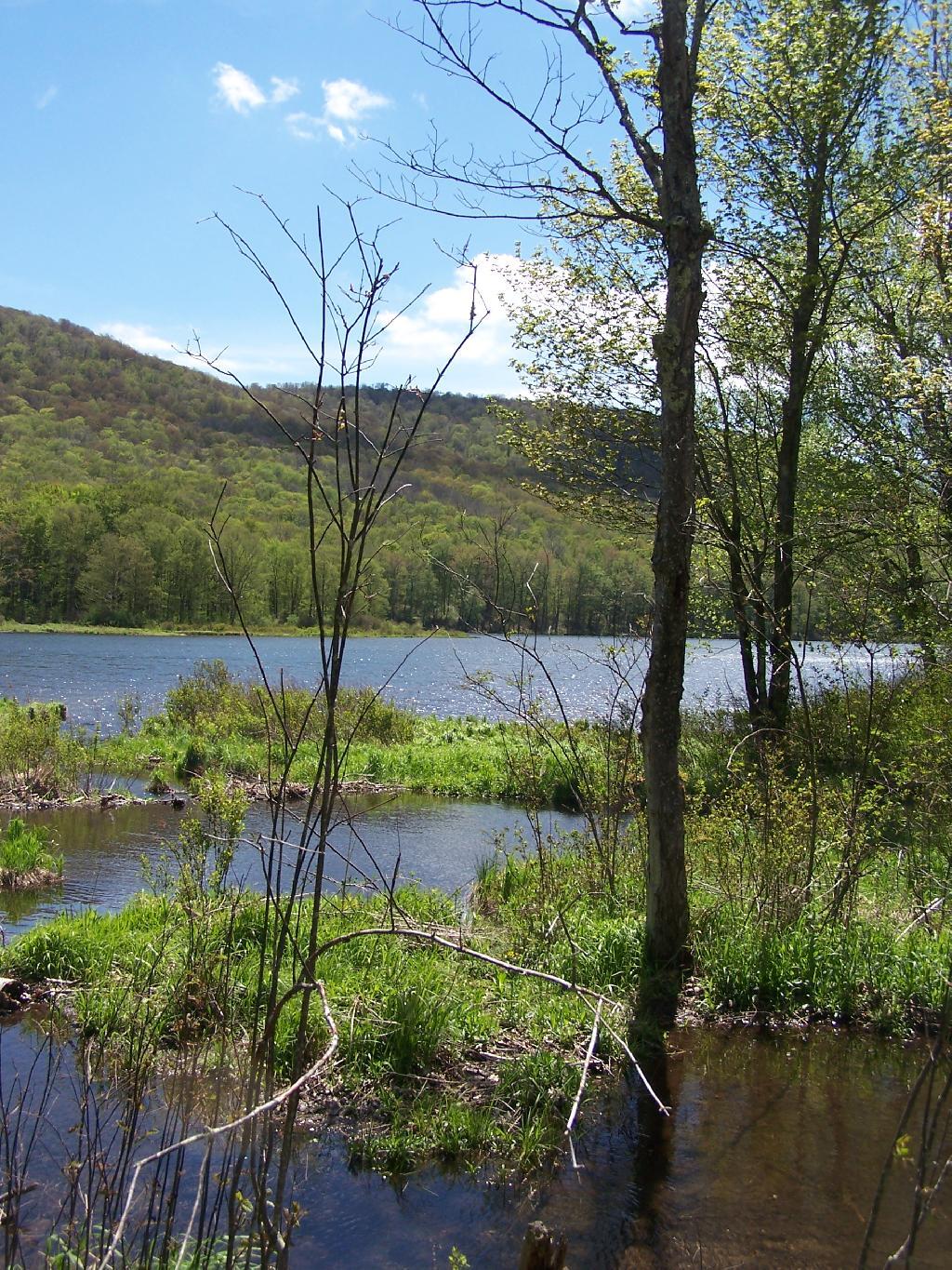
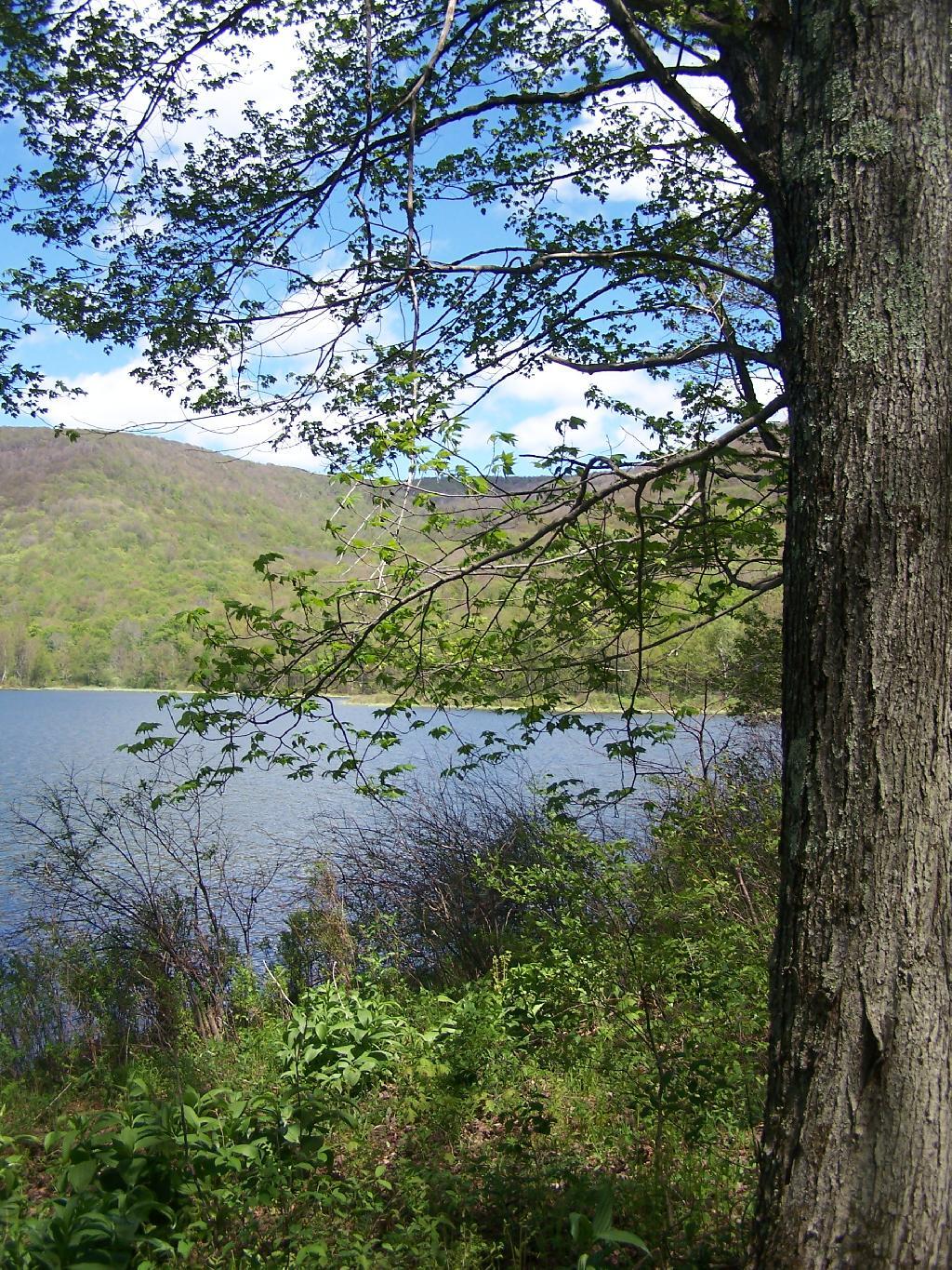
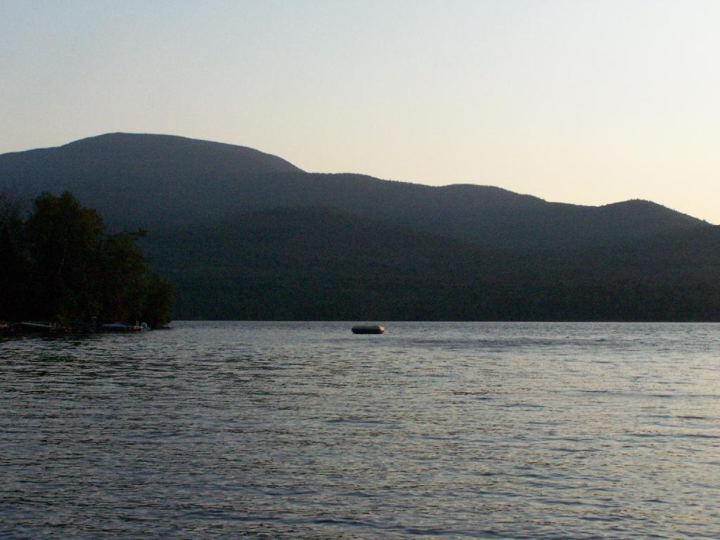
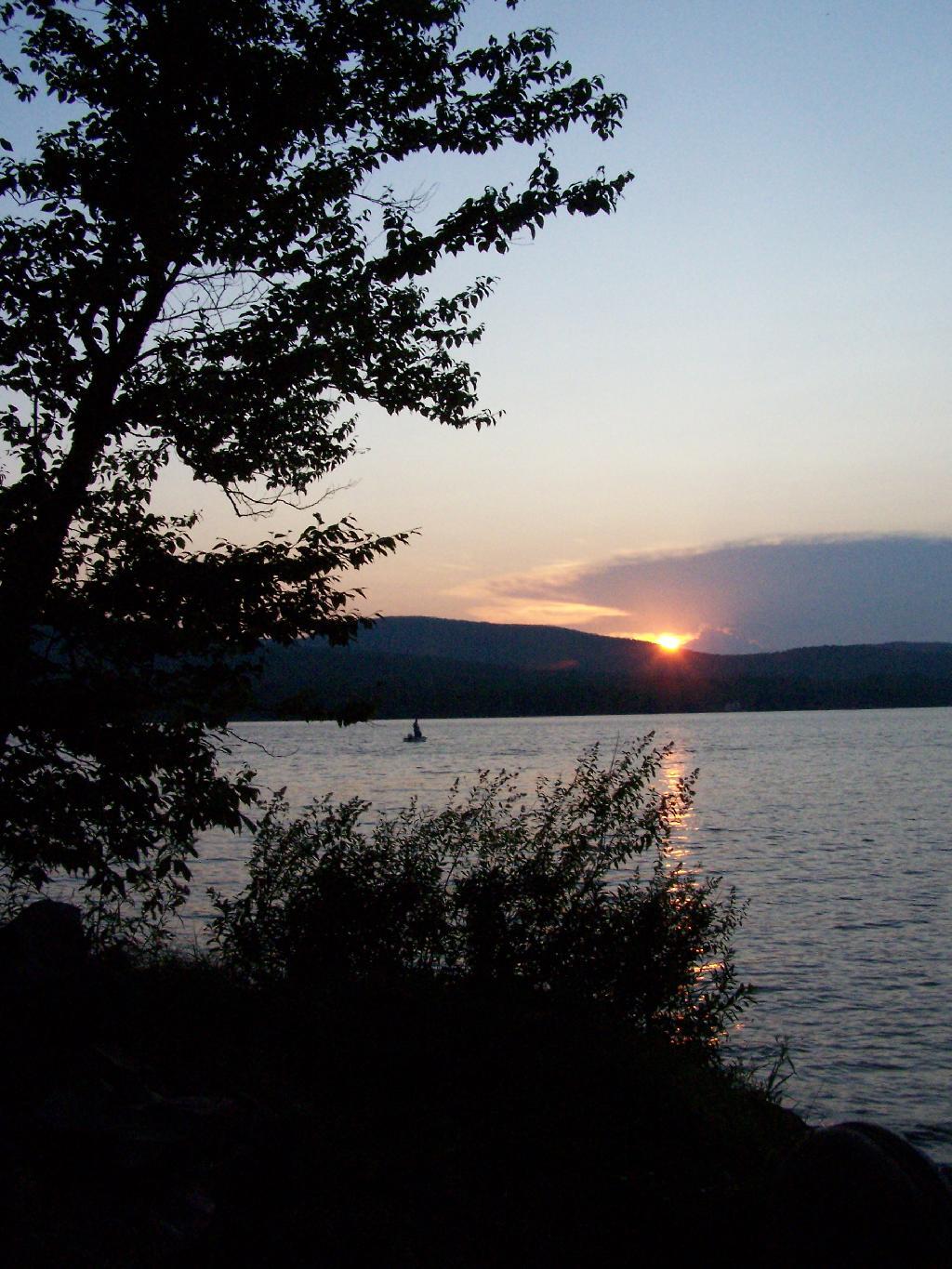
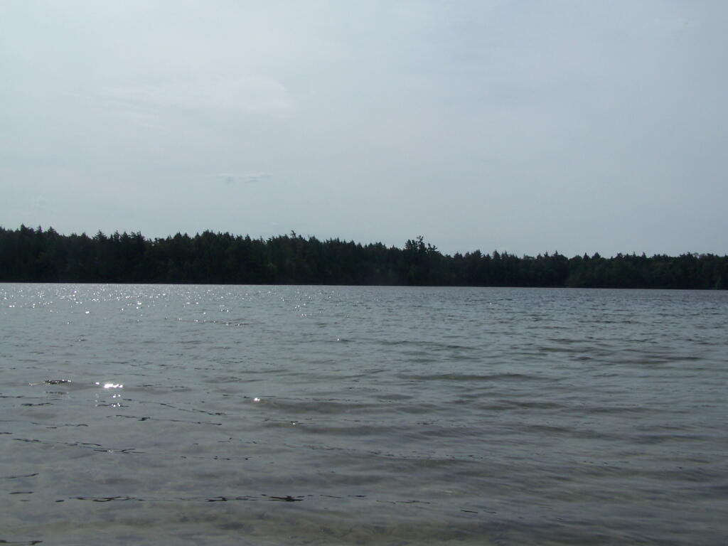
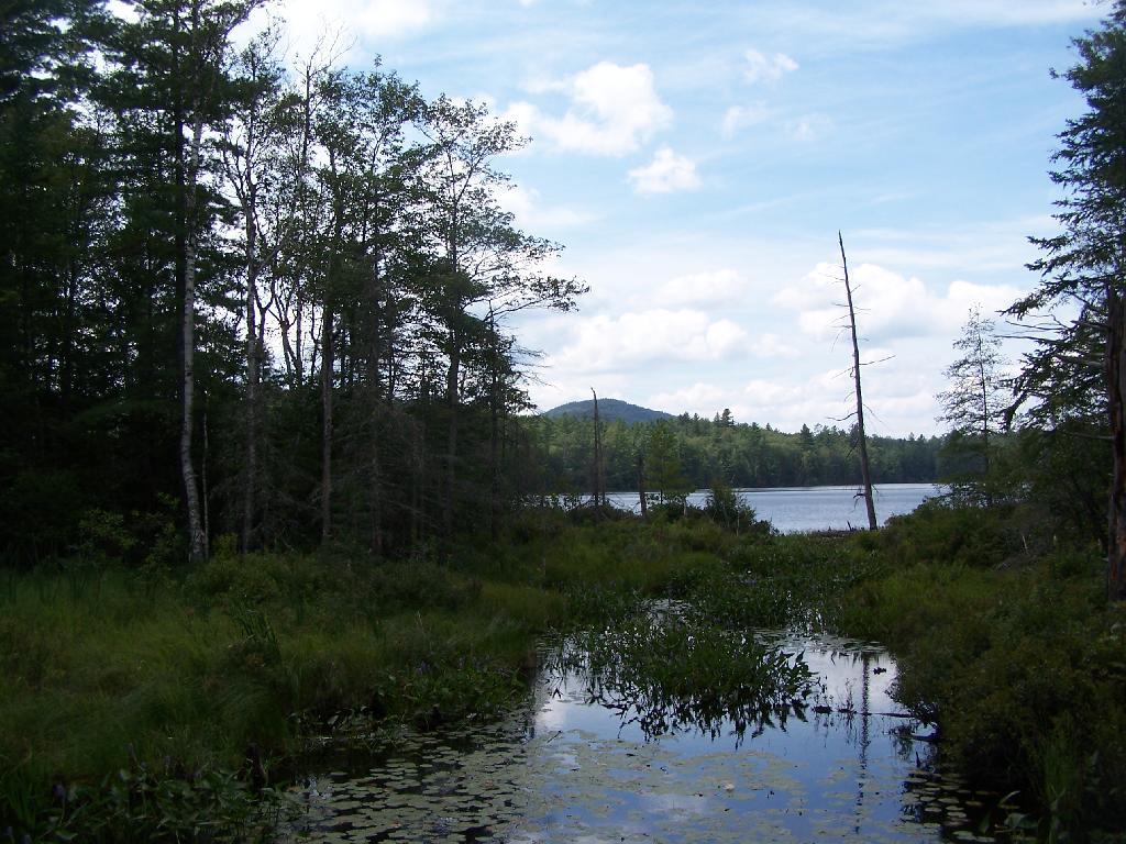
Across Poliwog Pond. It’s a remarkably hazy summer day. This is from the south bay of the pond, where I was swimming and getting cleaned up in the morning.

Across Poliwog Pond

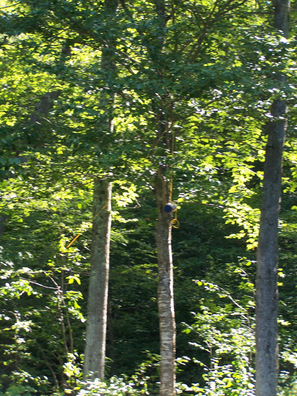
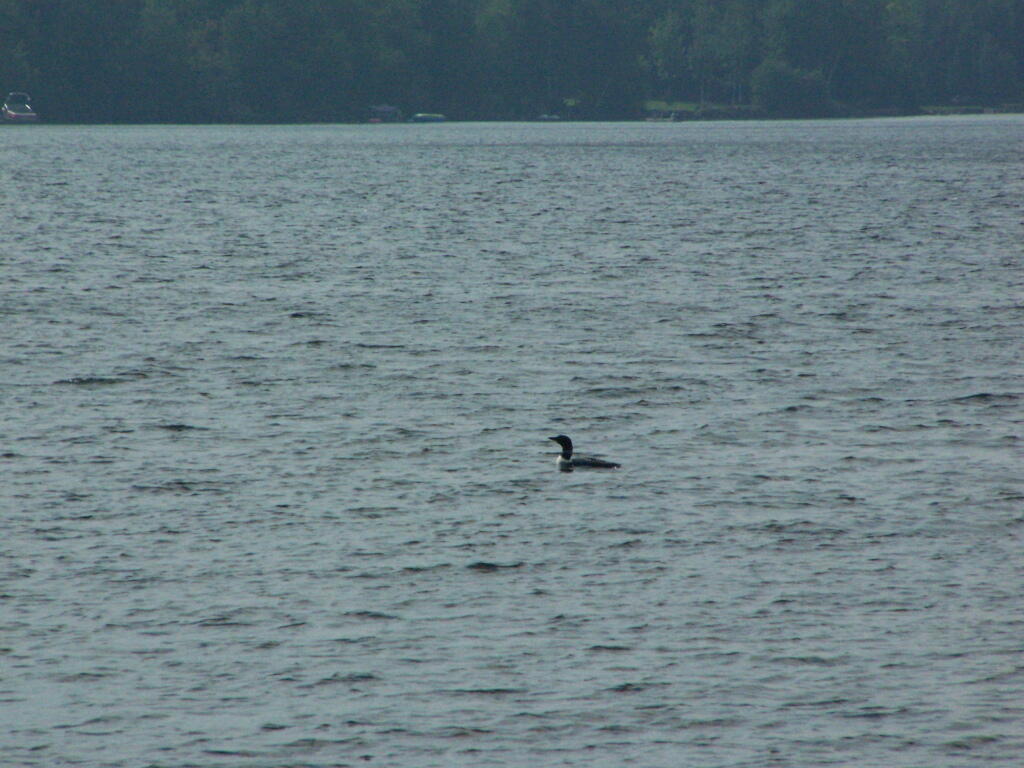
Loon. Throughout the night at Poliwog Pond, there was loon calling back and forth. This is located on the western bay of Poliwog Pond.

Loon

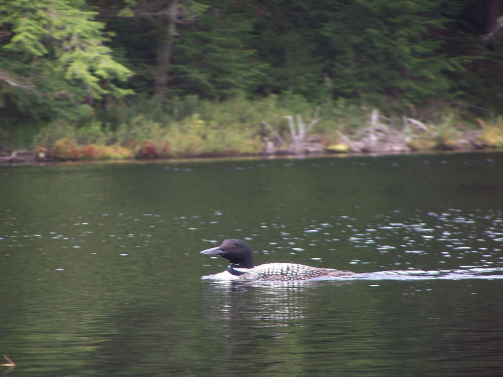
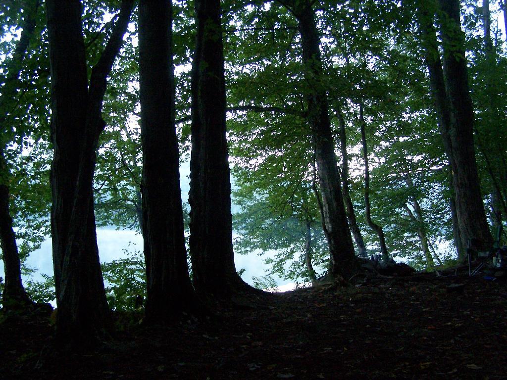
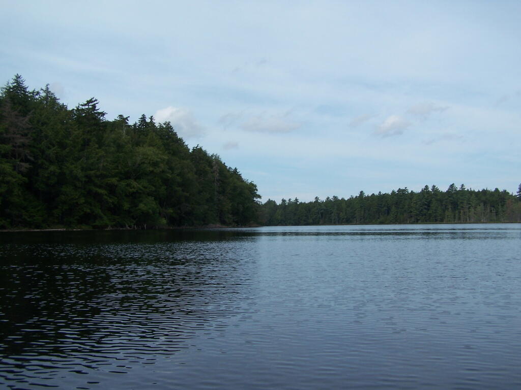
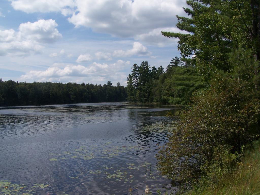
Western Bay of Poliwog Pond. There was somebody camping up on the banks, but other then that it was relatively quiet.

Western Bay of Poliwog Pond

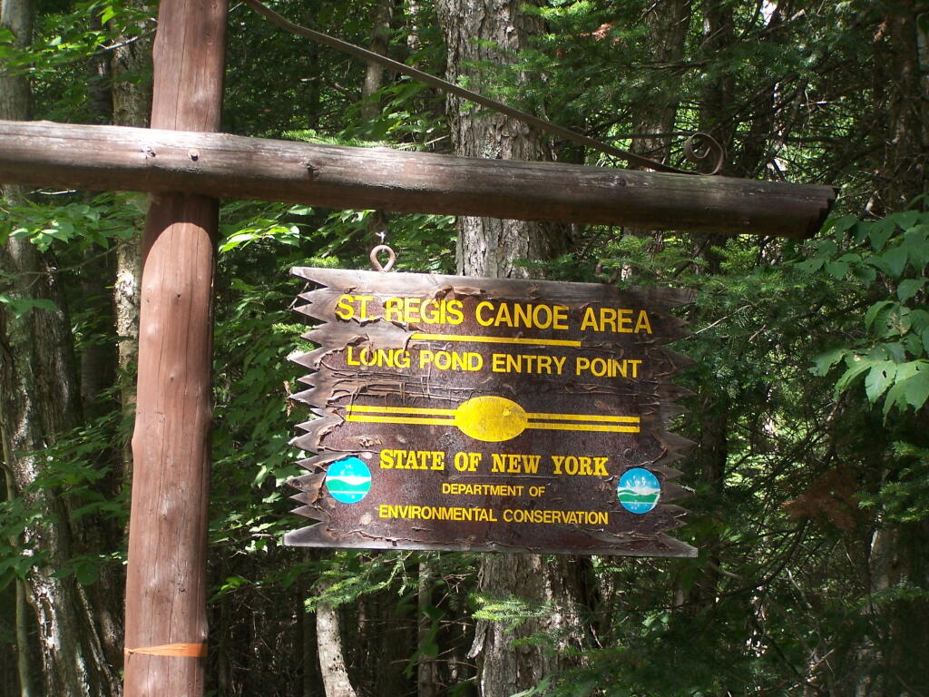
Long Pond Entrance. While I didn’t get a chance to haul my kayak into Long Pond, and do some paddling around there, this is the access point fo the Saint Regis Canoe area. It looked very popular.

Long Pond Entrance

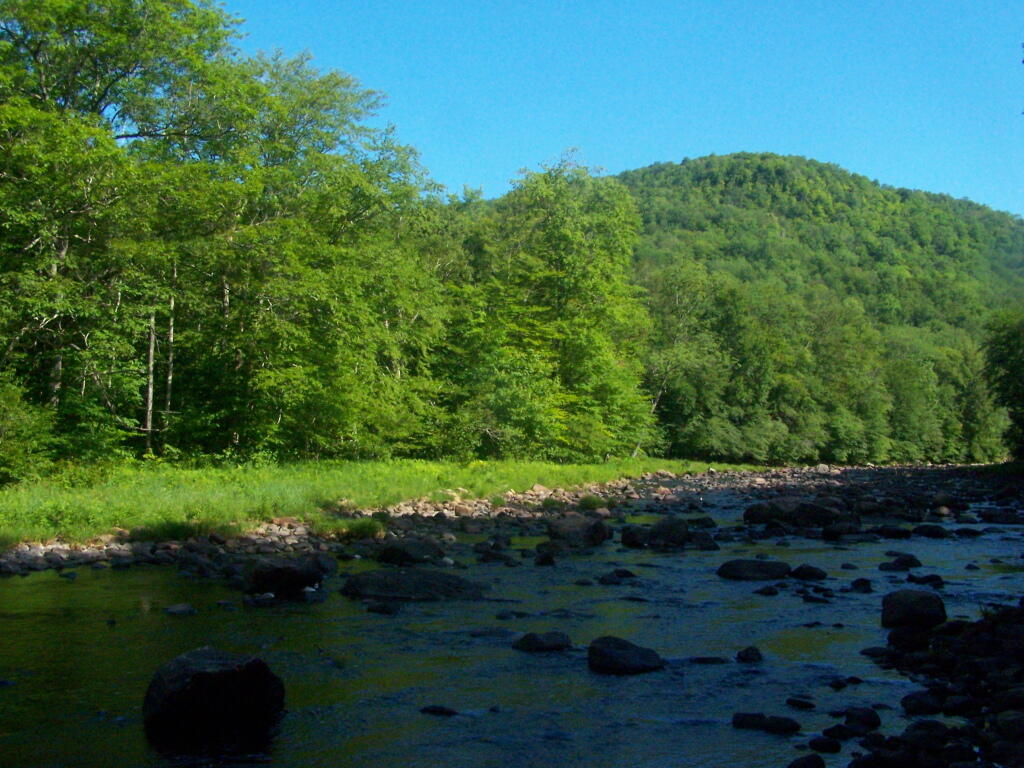
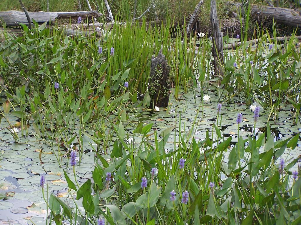
Swamp Across from East Pond. This was located directly across East Pond on Floodwood Road.

Swamp Across from East Pond

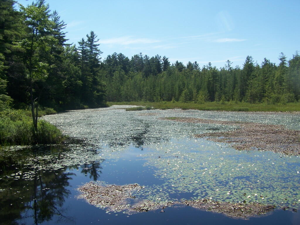
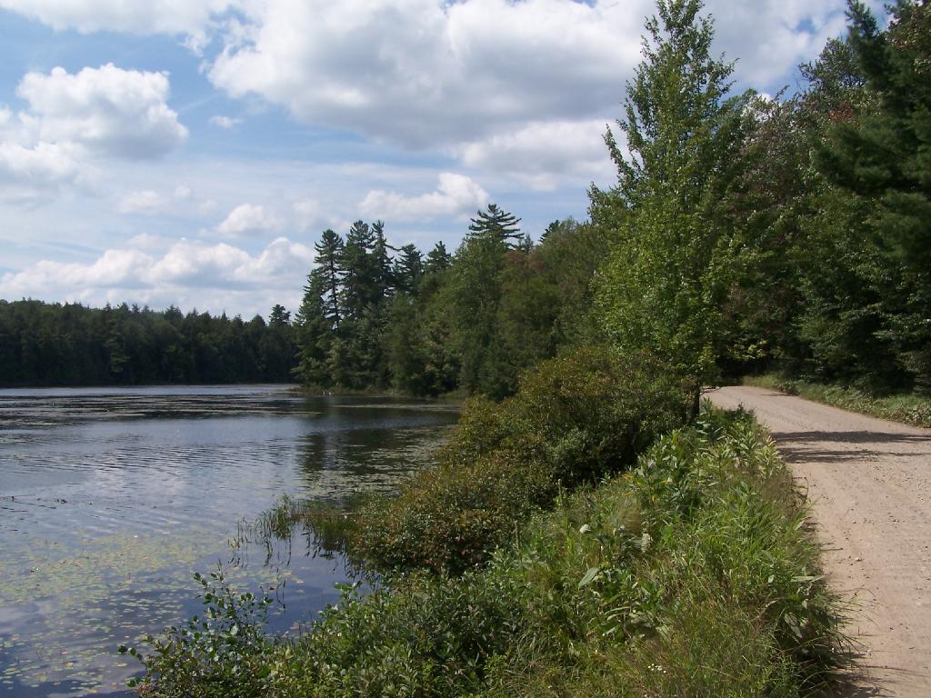
East Pond. On Floodwood Road. Looked quite pretty. There is one drive-in campsite in here, along with an accessible boat dock.

East Pond

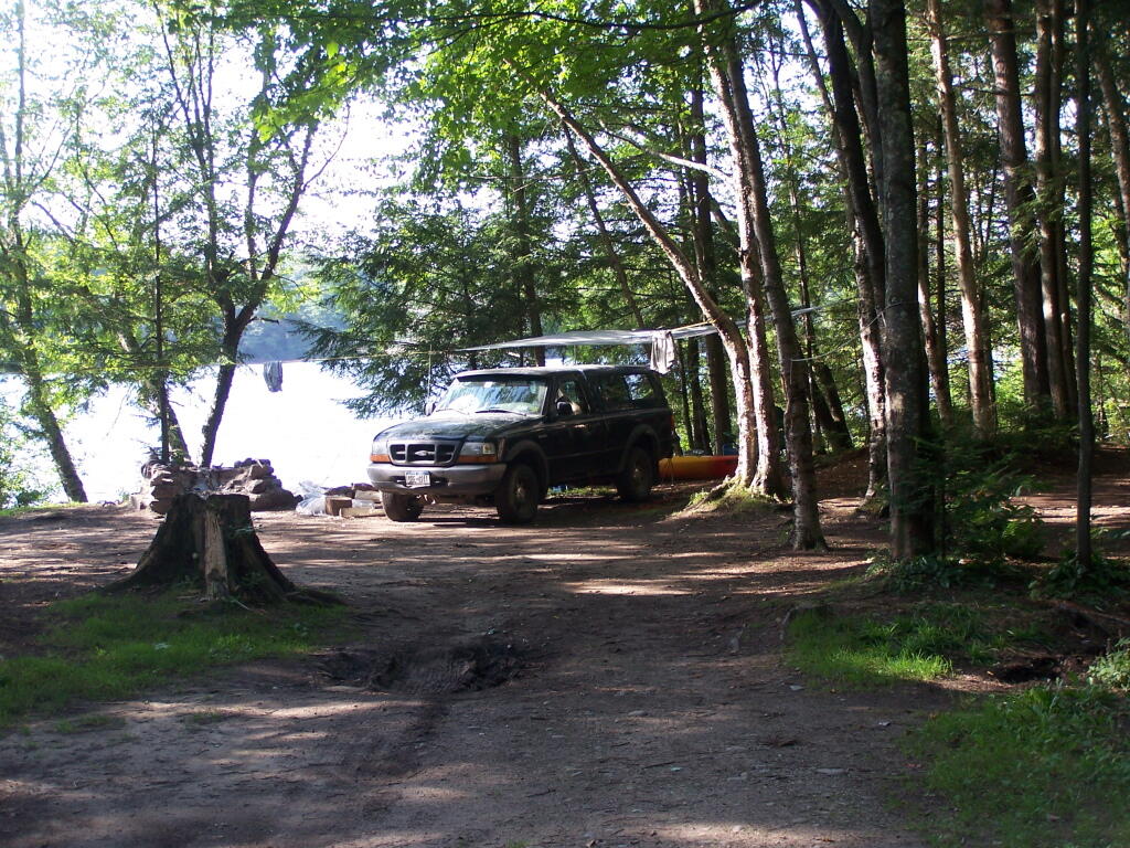
Middle Pond. On Floodwood Pond road. There also is a large drive-in campsite on Middle Pond.

Middle Pond

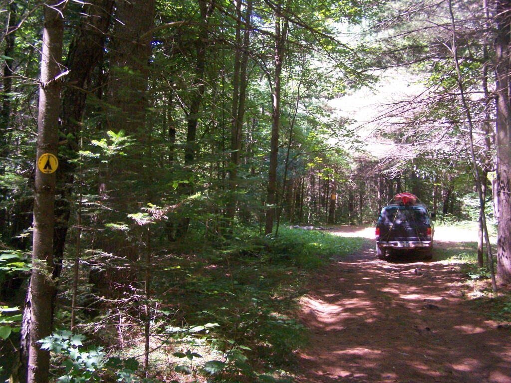
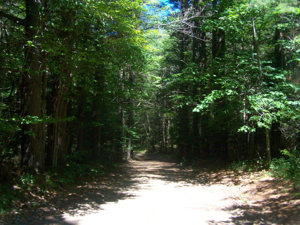
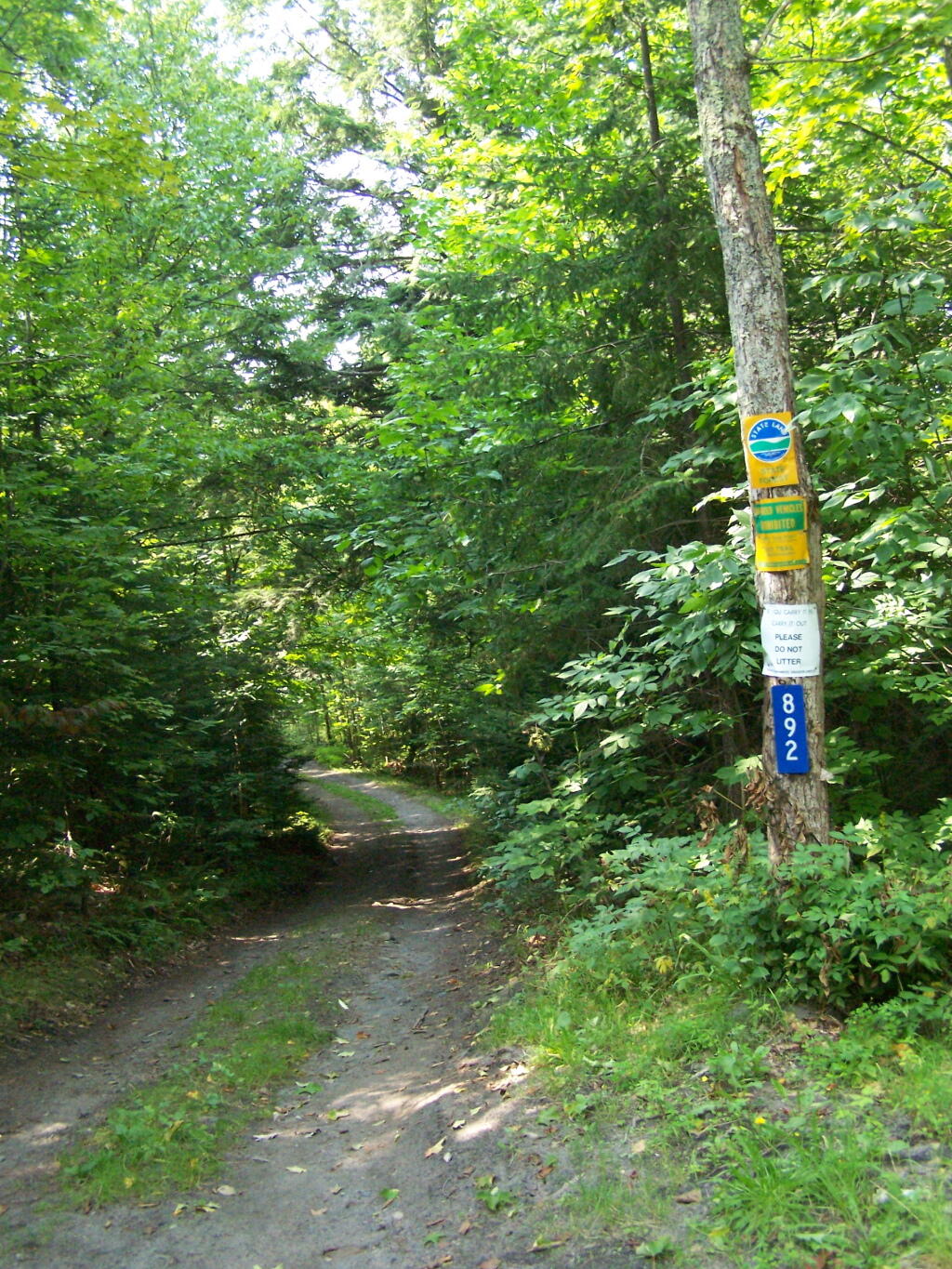
Floodwood Road. There are 15 drive in campsites on this very dusty dirt road, that is heavily traveled, mostly by people heading to the Boy Scout Camp and the Saint Regis Canoe Area. This along Middle Pond.

Floodwood Road

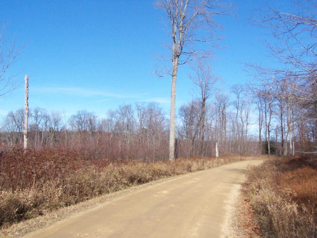
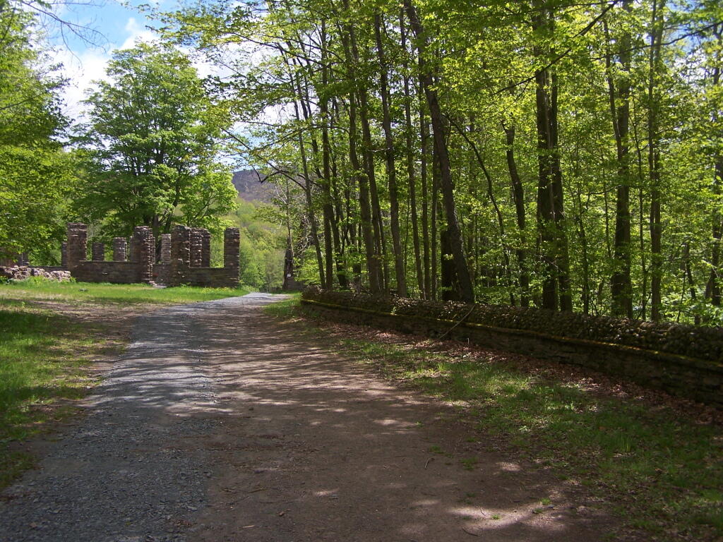
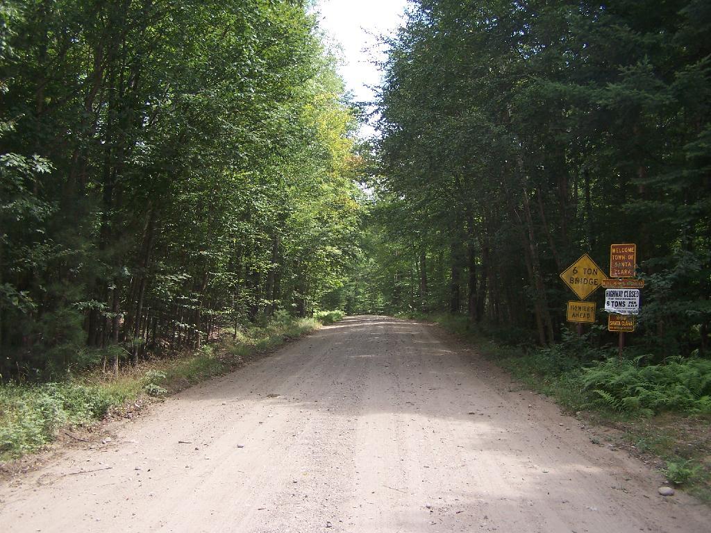
Floodwood Road at Franklin County. This is where you cross from being in very remote Town of Altamont to Santa Clara. Pretty area for sure.

Floodwood Road at Franklin County

Here is a map of Floodwood Road, Polliwog Pond, and surrounding ponds.


View Larger Map

Camping at Alder Lake

In the western Catskill Mountains, near Margretville and the Pepacton Reservior is Alder Lake, and old resort lake that is now State Forest, and offers primitive camping around the lake. It is backpack only in, however it is a short walk from the parking area to the approximately 7 designated primitive campsites around the lake.

Primative Campsite II

The 77-acre man-made lake, is handsomely surrounded by a high mountains of the Mill Brook Range, and other unnamed mountains. It is a 6-mile hike to the east to get to Balsam Mountain, home of a fire tower.

Coykendall Lodge Ruins

Setting up my tent at one of the campsites.

Primative Campsite and Table

Setting Up My Tent

The 1.5 mile trail around the lake has several interesting views of the lake.

Marshy End of the Lake

Along Edge of Alder Pond

Several of the campsites have stone chairs, and other things made out of natural products.

Stone Chairs

Cooking dinner.

Cooking Dinner

It was a beautiful night out there.

Watching the Campfire Burn in the The Evening

Here is a map of Alder Lake.


View Alder Lake in a larger map

Chazy Lake Primative Campsite

On Lake Chazy, the state owns about 800 feet of lake front as State Forest. There is three campsites here, one of them on the lake, and two along a private road / driveway.

Fireplace

This parcel exists on the far end of Wilfred King Road, which runs for about 5 miles before you reach the end where the parking area and the private drive you take down to the parcel.

Trail on In

The site on the water has great views, a little fireplace, and lots of space for setting up two or three tents. It’s just as much a paradise as the photo suggests.

Gear All Packed Up

“Camp Here” marker shows that this is a designated site. When your in the Catskills or Adirondacks they tend to be fairly strict about the 150 feet rule from water and roads, unless you are a designated site.

Camp Here Marker

Down by the lake in the afternoon. Imagine a book in my hands, and you can see how relaxed I am.

Afternoon

Cookng some dinner on my camp stove. Tonight I’m having sausage in Rice-a-Roni. The image makes it look like some kind of sinster stew that I’m making up, make out of small children I boiled up and mixed with grits. It’s not that for sure, and was far more delicious.

Cooking Dinner

If you go out in the lake a little ways for a wade, you get a good view of Lyon Mountain. The water is shallow, and if it’s as hot as it was when I was there, truly delightful. While you will have to drive approximately 10 miles around the lake to get to the parking area to climb Lyon Mountain, but it’s beautiful with the fire tower up top.

Lyon Mountain

Sitting down at the lake you could hear the errie call of the loon.

Loon

The site has good south-west views over the Lyon Mountain where the sunsets in the evening. The sunsets from here are amazing, as you watch the fire burn. The wood supply is limited, so you may consider packing in your own wood supply.

Dusk

The important thing is that if you go there, make sure to drive all the way to the end of the road, past where the blacktop ends and after where the state forest starts. You will know when your there, and if you don’t see signs for the state parcel or the campsites, you haven’t driven far enough.

Also, while it’s posted against driving motor vehicles past the parking lot, as it is a private driveway, you can drive almost up to the lake front campsite if you don’t want to walk with the stuff in. That said, it’s only about a 1/4 mile hike from the parking area, so it’s fine to make multiple trips throughout the night and day like I did.

Swimming Hole

Here is the site on Google Maps. The hikers are where you park, the trail follows the driveway for a while, and then turns for about 150 feet to the campsite right on the water.


View Hikes of 2009 in a larger map