
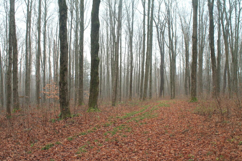
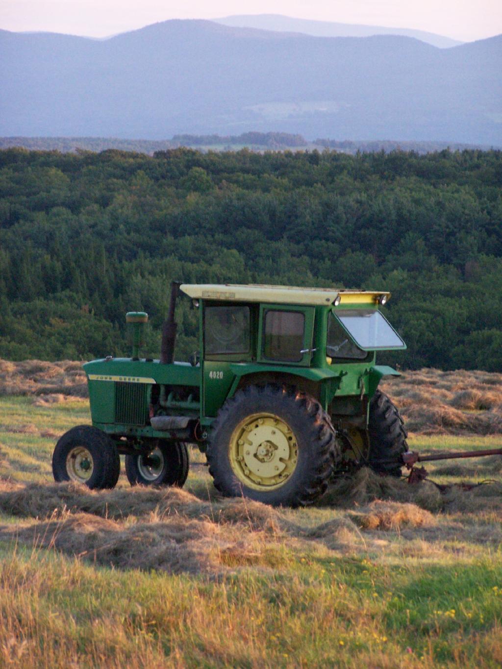
State Purchases of More Former Finch Lands
The state has taken title to some smaller but interesting parcels as part of the Finch acquisition.
The state has taken title to some smaller but interesting parcels as part of the Finch acquisition.

Pretty much what you would expect from Mr. Bauer and the Adirondack almanac.

The turkeys in Washington DC and Albany are helping the turkeys in New York. Makes perfect sense.

Apparently at least in New Brunswick, rock snot is native but only now blooming because of higher water temperatures.
Without the Internet at home, I sure have a lot more time to do mapping and other activities.
With the Internet at home, it’s always a distraction from getting any work done on the blog. Sure, it’s nice for searching for a code scrap or a solution to a particular coding problem, or to download a data file, but the Internet is mostly a big distraction from reading or doing blogposts.
![The Gorge [Expires May 18 2026]](https://andyarthur.org//data/photo_010970_large.jpg)
I’ve figured out an easy way to get block-group level American Community Survey data from the Census department. The Census Factfinder lacks block-group data. It’s called the National Historical Census Database. Not only does it have Census data up to 2012, it also has old data back to 1790. It might be interesting to do some historical mapping of things like population, especially when mapping urban growth patterns. The trick to using that data is to make sure you use the NH Census Shapefiles and not the TIGER/Line as otherwise the codes will not be able to be linked.
A look at our state's constitution and how it intermingles freedom to assemble, gambling, and divorce law.
As of November 6, 2013, pursuant to a vote of the people the previous day …
§9. 1. No law shall be passed abridging the rights of the people peaceably to assemble and to petition the government, or any department thereof; nor shall any divorce be granted otherwise than by due judicial proceedings; except as hereinafter provided, no lottery or the sale of lottery tickets, pool-selling, book-making, or any other kind of gambling, except lotteries operated by the state and the sale of lottery tickets in connection therewith as may be authorized and prescribed by the legislature, the net proceeds of which shall be applied exclusively to or in aid or support of education in this state as the legislature may prescribe, and except pari-mutual betting on horse races as may be prescribed by the legislature and from which the state shall derive a reasonable revenue for the support of government, and except casino gambling at no more than seven facilities as authorized and prescribed by the legislature shall hereafter be authorized or allowed within this state; and the legislature shall pass appropriate laws to prevent offenses against any of the provisions of this section.
It does sound a bit schizophrenic. They should really reconsider re-writing that paragraph to make a non-run-on sentence. Laws should be understandable, and should only deal with one topic, rather then randomly stringing gambling and divorce to a section dealing with the rights of the people to assemble.
The lands of the state, now owned or hereafter acquired, constituting the forest preserve as now fixed by law, shall be forever kept as wild forest lands. They shall not be leased, sold or exchanged, or be taken by any corporation, public or private, nor shall the timber thereon be sold, removed or destroyed.
Nothing herein contained shall prevent the state from constructing, completing and maintaining any highway heretofore specifically authorized by constitutional amendment, nor from constructing and maintaining to federal standards federal aid interstate highway route five hundred two from a point in the vicinity of the city of Glens Falls, thence northerly to the vicinity of the villages of Lake George and Warrensburg, the hamlets of South Horicon and Pottersville and thence northerly in a generally straight line on the west side of Schroon Lake to the vicinity of the hamlet of Schroon, then continuing northerly to the vicinity of Schroon Falls, Schroon River and North Hudson, and to the east of Makomis Mountain, east of the hamlet of New Russia, east of the village of Elizabethtown and continuing northerly in the vicinity of the hamlet of Towers Forge, and east of Poke-O-Moonshine Mountain and continuing northerly to the vicinity of the village of Keeseville and the city of Plattsburgh, all of the aforesaid taking not to exceed a total of three hundred acres of state forest preserve land, …
… nor from constructing and maintaining not more than twenty-five miles of ski trails thirty to two hundred feet wide, together with appurtenances thereto, provided that no more than five miles of such trails shall be in excess of one hundred twenty feet wide, on the north, east and northwest slopes of Whiteface Mountain in Essex county, nor from constructing and maintaining not more than twenty-five miles of ski trails thirty to two hundred feet wide, together with appurtenances thereto, provided that no more than two miles of such trails shall be in excess of one hundred twenty feet wide, on the slopes of Belleayre Mountain in Ulster and Delaware counties and not more than forty miles of ski trails thirty to two hundred feet wide, together with appurtenances thereto, provided that no more than eight miles of such trails shall be in excess of one hundred twenty feet wide, on the slopes of Gore and Pete Gay mountains in Warren county, …
… nor from relocating, reconstructing and maintaining a total of not more than fifty miles of existing state highways for the purpose of eliminating the hazards of dangerous curves and grades, provided a total of no more than four hundred acres of forest preserve land shall be used for such purpose and that no single relocated portion of any highway shall exceed one mile in length.
Notwithstanding the foregoing provisions, the state may convey to the village of Saranac Lake ten acres of forest preserve land adjacent to the boundaries of such village for public use in providing for refuse disposal and in exchange therefore the village of Saranac Lake shall convey to the state thirty acres of certain true forest land owned by such village on Roaring Brook in the northern half of Lot 113, Township 11, Richards Survey.
Notwithstanding the foregoing provisions, the state may convey to the town of Arietta twenty-eight acres of forest preserve land within such town for public use in providing for the extension of the runway and landing strip of the Piseco airport and in exchange therefor the town of Arietta shall convey to the state thirty acres of certain land owned by such town in the town of Arietta.
Notwithstanding the foregoing provisions and subject to legislative approval of the tracts to be exchanged prior to the actual transfer of title, the state, in order to consolidate its land holdings for better management, may convey to International Paper Company approximately eight thousand five hundred acres of forest preserve land located in townships two and three of Totten and Crossfield Purchase and township nine of the Moose River Tract, Hamilton county, and in exchange therefore International Paper Company shall convey to the state for incorporation into the forest preserve approximately the same number of acres of land located within such townships and such County on condition that the legislature shall determine that the lands to be received by the state are at least equal in value to the lands to be conveyed by the state.
Notwithstanding the foregoing provisions and subject to legislative approval of the tracts to be exchanged prior to the actual transfer of title and the conditions herein set forth, the state, in order to facilitate the preservation of historic buildings listed on the national register of historic places by rejoining an historic grouping of buildings under unitary ownership and stewardship, may convey to Sagamore Institute, Inc., a not-for-profit educational organization, approximately ten acres of land and buildings thereon adjoining the real property of the Sagamore Institute, Inc. and located on Sagamore Road, near Racquette Lake Village, in the Town of Long Lake, county of Hamilton, and in exchange therefor; Sagamore Institute, Inc. shall convey to the state for incorporation into the forest preserve approximately two hundred acres of wild forest land located within the Adirondack Park on condition that the legislature shall determine that the lands to be received by the state are at least equal in value to the lands and buildings to be conveyed by the state and that the natural and historic character of the lands and buildings conveyed by the state will be secured by appropriate covenants and restrictions and that the lands and buildings conveyed by the state will reasonably be available for public visits according to agreement between Sagamore Institute, Inc. and the state.
Notwithstanding the foregoing provisions the state may convey to the town of Arietta fifty acres of forest preserve land within such town for public use in providing for the extension of the runway and landing strip of the Piseco airport and providing for the maintenance of a clear zone around such runway, and in exchange therefor, the town of Arietta shall convey to the state fifty-three acres of true forest land located in lot 2 township 2 Totten and Crossfield’s Purchase in the town of Lake Pleasant.
Notwithstanding the foregoing provisions and subject to legislative approval prior to actual transfer of title, the state may convey to the town of Keene, Essex county, for public use as a cemetery owned by such town, approximately twelve acres of forest preserve land within such town and, in exchange therefor, the town of Keene shall convey to the state for incorporation into the forest preserve approximately one hundred forty-four acres of land, together with an easement over land owned by such town including the riverbed adjacent to the land to be conveyed to the state that will restrict further development of such land, on condition that the legislature shall determine that the property to be received by the state is at least equal in value to the land to be conveyed by the state.
Notwithstanding the foregoing provisions and subject to legislative approval prior to actual transfer of title, because there is no viable alternative to using forest preserve lands for the siting of drinking water wells and necessary appurtenances and because such wells are necessary to meet drinking water quality standards, the state may convey to the town of Long Lake, Hamilton county, one acre of forest preserve land within such town for public use as the site of such drinking water wells and necessary appurtenances for the municipal water supply for the hamlet of Raquette Lake. In exchange therefor, the town of Long Lake shall convey to the state at least twelve acres of land located in Hamilton county for incorporation into the forest preserve that the legislature shall determine is at least equal in value to the land to be conveyed by the state. The Raquette Lake surface reservoir shall be abandoned as a drinking water supply source.
Notwithstanding the foregoing provisions and subject to legislative approval prior to actual transfer of title, the state may convey to National Grid up to six acres adjoining State Route 56 in St. Lawrence County where it passes through Forest Preserve in Township 5, Lots 1, 2, 5 and 6 that is necessary and appropriate for National Grid to construct a new 46kV power line and in exchange therefore National Grid shall convey to the state for incorporation into the forest preserve at least 10 acres of forest land owned by National Grid in St. Lawrence county, on condition that the legislature shall determine that the property to be received by the state is at least equal in value to the land conveyed by the state.
Notwithstanding the foregoing provisions, the legislature may authorize the settlement, according to terms determined by the legislature, of title disputes in township forty, Totten and Crossfield purchase in the town of Long Lake, Hamilton county, to resolve longstanding and competing claims of title between the state and private parties in said township, provided that prior to, and as a condition of such settlement, land purchased without the use of state‐appropriated funds, and suitable for incorporation in the forest preserve within the Adirondack park, shall be conveyed to the state on the condition that the legislature shall determine that the property to be conveyed to the state shall provide a net benefit to the forest preserve as compared to the township forty lands subject to such settlement.
Notwithstanding the foregoing provisions, the state may authorize NYCO Minerals, Inc. to engage in mineral sampling operations, solely at its expense, to determine the quantity and quality of wollastonite on approximately 200 acres of forest preserve land contained in lot 8, Stowers survey, town of Lewis, Essex county provided that NYCO Minerals, Inc. shall provide the data and information derived from such drilling to the state for appraisal purposes. Subject to legislative approval of the tracts to be exchanged prior to the actual transfer of title, the state may subsequently convey said lot 8 to NYCO Minerals, Inc., and, in exchange therefor, NYCO Minerals, Inc. shall convey to the state for incorporation into the forest preserve not less than the same number of acres of land, on condition that the legislature shall determine that the lands to be received by the state are equal to or greater than the value of the land to be conveyed by the state and on condition that the assessed value of the land to be conveyed to the state shall total not less than one million dollars. When NYCO Minerals, Inc. terminates all mining operations on such lot 8 it shall remediate the site and convey title to such lot back to the state of New York for inclusion in the forest preserve. In the event that lot 8 is not conveyed to NYCO Minerals, Inc. pursuant to this paragraph, NYCO Minerals, Inc. nevertheless shall convey to the state for incorporation into the forest preserve not less than the same number of acres of land that is disturbed by any mineral sampling operations conducted on said lot 8 pursuant to this paragraph on condition that the legislature shall determine that the lands to be received by the state are equal to or greater than the value of the lands disturbed by the mineral sampling operations.
The legislature may by general laws provide for the use of not exceeding three per centum of such lands for the construction and maintenance of reservoirs for municipal water supply, and for the canals of the state.
Such reservoirs shall be constructed, owned and controlled by the state, but such work shall not be undertaken until after the boundaries and high flow lines thereof shall have been accurately surveyed and fixed, and after public notice, hearing and determination that such lands are required for such public use.
The expense of any such improvements shall be apportioned on the public and private property and municipalities benefited to the extent of the benefits received. Any such reservoir shall always be operated by the state and the legislature shall provide for a charge upon the property and municipalities benefited for a reasonable return to the state upon the value of the rights and property of the state used and the services of the state rendered, which shall be fixed for terms of not exceeding ten years and be readjustable at the end of any term. Unsanitary conditions shall not be created or continued by any such public works.
1. Forest and wild life conservation are hereby declared to be policies of the state. For the purpose of carrying out such policies the legislature may appropriate moneys for the acquisition by the state of land, outside of the Adirondack and Catskill parks as now fixed by law, for the practice of forest or wild life conservation. The prohibitions of section 1 of this article shall not apply to any lands heretofore or hereafter acquired or dedicated for such purposes within the forest preserve counties but outside of the Adirondack and Catskill parks as now fixed by law, except that such lands shall not be leased, sold or exchanged, or be taken by any corporation, public or private.
2. As to any other lands of the state, now owned or hereafter acquired, constituting the forest preserve referred to in section one of this article, but outside of the Adirondack and Catskill parks as now fixed by law, and consisting in any case of not more than one hundred contiguous acres entirely separated from any other portion of the forest preserve, the legislature may by appropriate legislation, notwithstanding the provisions of section one of this article, authorize:
(a) the dedication thereof for the practice of forest or wild life conservation; or
(b) the use thereof for public recreational or other state purposes or the sale, exchange or other disposition thereof; provided, however, that all moneys derived from the sale or other disposition of any of such lands shall be paid into a special fund of the treasury and be expended only for the acquisition of additional lands for such forest preserve within either such Adirondack or Catskill park.
The policy of the state shall be to conserve and protect its natural resources and scenic beauty and encourage the development and improvement of its agricultural lands for the production of food and other agricultural products.
The legislature, in implementing this policy, shall include adequate provision for the abatement of air and water pollution and of excessive and unnecessary noise, the protection of agricultural lands, wetlands and shorelines, and the development and regulation of water resources.
The legislature shall further provide for the acquisition of lands and waters, including improvements thereon and any interest therein, outside the forest preserve counties, and the dedication of properties so acquired or now owned, which because of their natural beauty, wilderness character, or geological, ecological or historical significance, shall be preserved and administered for the use and enjoyment of the people.
Properties so dedicated shall constitute the state nature and historical preserve and they shall not be taken or otherwise disposed of except by law enacted by two successive regular sessions of the legislature.
A violation of any of the provisions of this article may be restrained at the suit of the people or, with the consent of the supreme court in appellate division, on notice to the attorney-general at the suit of any citizen.

