places

Fun NY Geographic Facts

The Town of Greenville is 39 sq miles, the Bourgh of Manhattan is 33 sq miles. A few more cows in Greenville though then Manhattan.

Staten Island about the size of Altona in Clinton County at 101 square miles. A few less wind turbines in Staten Island, and far less hot air.

Swimming Hole

All of New York City would fit into the area of Town of Long Lake, Webb, or Brookhaven.

The Town of Westerlo is approximately the same size as the Borough of Bronx at 58 square miles. Yes, but do they have Dick Rapp as their town supervisor?

The biggest town area-wise in New York State is Brookhaven on Long Island at 532 sq miles. Town of Webb (Old Forge) has 483 sq miles.

Barn Silloute Against TriMount

The difference between the year-round population of the Town of Webb and Town of Brookhaven is about the population of Albany County at 295,000 persons.

Yonkers is about the same size as Albany, NY at 21 square miles.

The typical town in Western NY is 36 square miles and is a nice square shape. Not all though as geography sometimes over rides that nice square shape.

Walk on By

The largest town in Western NY is Bath, NY at 101 square miles, or about the size of Staten Island.

Owego, near Binghamton is the largest Central New York town at 101 square miles. It should not be confused with Oswego which is near Syracuse.

Places to Roadside Camp in Early Spring in Adirondacks

The two longest back country roads in Adirondacks — Cedar River-Limekiln Lake Road and Piseco-Powley Road — are generally closed during mud season. Other dirt roads like Moose Club Way tend to be muddy, and their is a risk you’ll get stuck back there.

It’s always a good idea to bring extra weight in your truck bed, a come-a-long or whinch, and snow shovel. You might not be far from a blacktop road at these campsites, but that is no guarantee you won’t get stuck.

1) NY Route 8 / East Branch of Sacandaga River

The campsites are all off NY 8, an all season plowed and maintained asphalt road. Some sites are reinforced with gravel. Be aware some sites may be plowed full of snow from the winter clearing of NY 8. Roughly 15 campsites along this road, however some may be too muddy for this time of year.

 Susquehanna State Forest

Tent Camping at Foxx Lair

2) South of Arietta Town Line on Piseco-Powley Road

There are 7 campsites along Piseco-Powley Road, north of Stratford, prior to the Arietta Town Line gate, which is near the Potholers on East Canada Creek. This road is well packed dirt, reinforced with gravel up to gate, and should be accessiable year round, minus the snow.

Renters vs Population Density - NY Census Tracts

Very Winter Looking Campsite Along East Canada Creek

3) NY 421 at Horseshoe Lake

NY 421 is an asphalt road, and there are 4 campsites prior to the gates for Horseshoe Lake Road and Lows Lower Dam Road. These gates will be closed, but the sites along NY 421 before the asphalt runs out should be good as long the snow is off of NY 421..

In the Wildflower Gardens

Six Miles to Horseshoe Lake

4) Mountain Pond

Mountain Pond Campsites are on an old routing of NY 30. While now unplowed in the winter, the road is mostly hard asphalt, asphalt chips, and gravel. Many of the campsites are reinforced with gravel, but be careful with some of the sites.

Campsite No 4

5) First Campsite on Wolf Lake Road.

There is a campsite on Wolf Lake Road, right before the parking area and winter road gate for Wolf Lake Road Extension. This campsite is grass, however if it’s relatively dry, snow and mud free, this is possiblity.

Adirondack Lakes

Roadside Campsite

6) Reeds Pond Campsite.

Before the black top runs out, there is a campsite along Reeds Pond, which is nice for it’s solitude, but nearness to a dirt road. The campsite may be muddy, depending on the conditions.

 Beaver Flow State Forest

Reeds Pond

2011 Pictures of the Year

January.

Walking Along the Trail

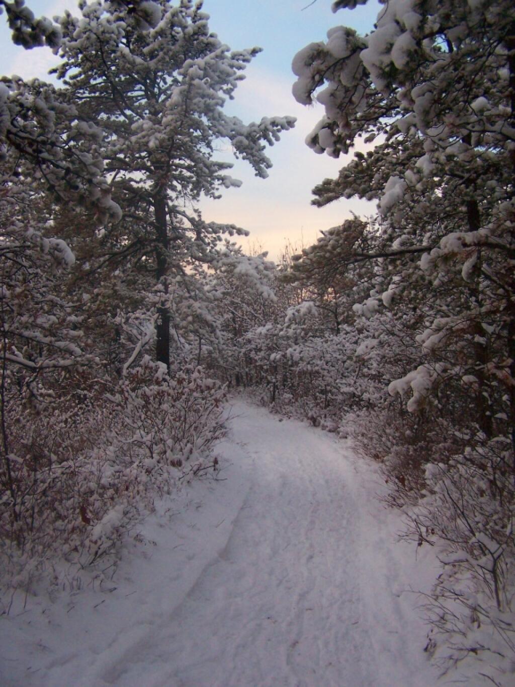
After a fresh snow fall it was a winter wonderland in the Albany Pine Barriens, a forever wild ecosystem on the outskirts of the city. It felt like one was walking through a marshmallow forest.

Truck By the Woodpile

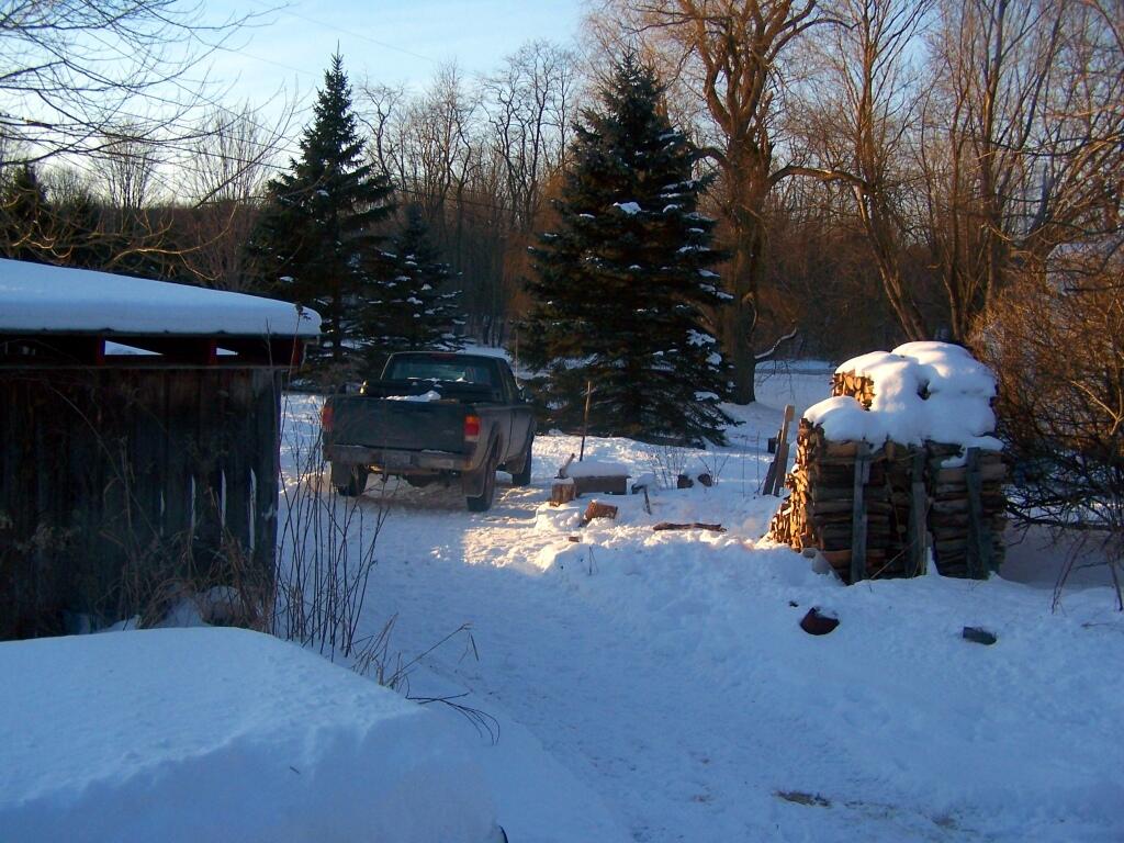
A cold winters day at my parents house in late January, after a long cold spell that never seemed to want to end.

February.

Sheen of Sun on Ice

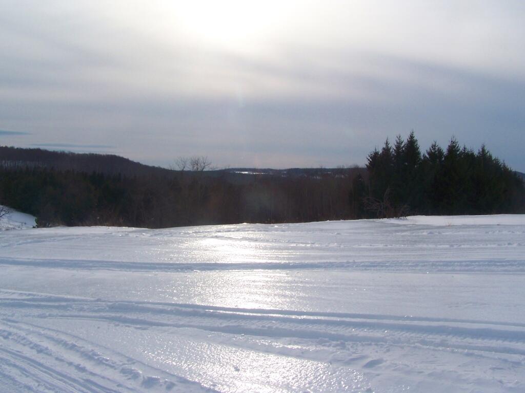
A icy sheen shown on the snow at Partridge Run, as I went for an afternoon walk with the dogs up there in the middle of the month.

Descending Bennett Hill

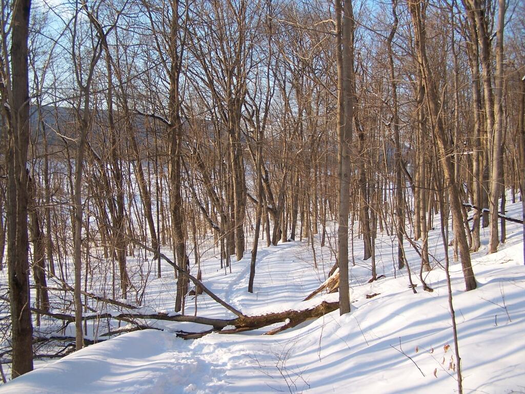
Snowshoeing back down Bennett Hill in late February.

March.

Irish Hill and Beyond

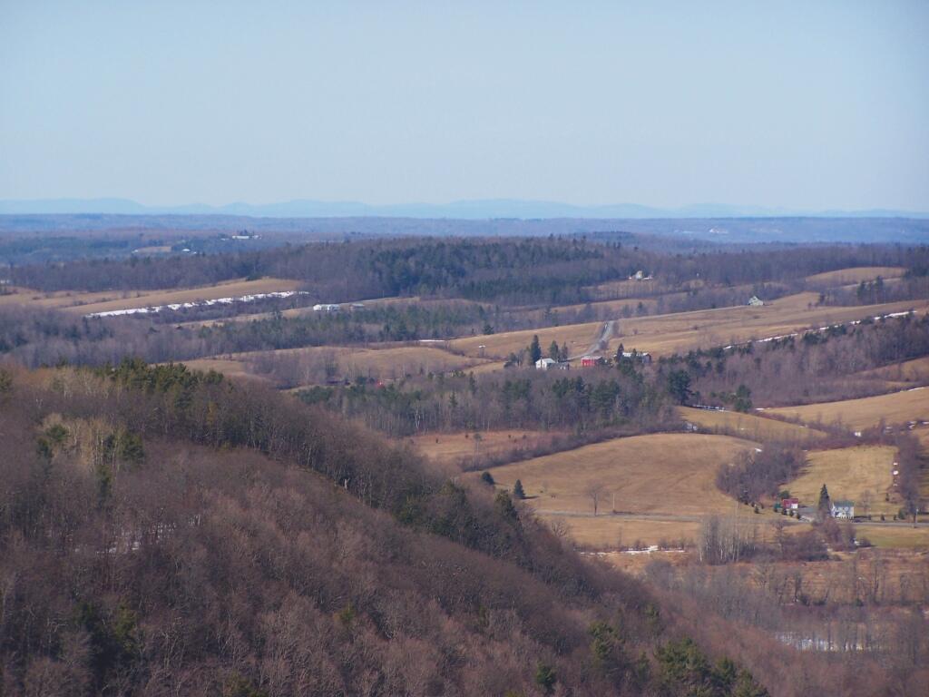
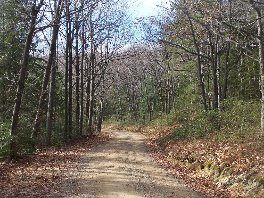
A recently logged section of Cole Hill provided breath-taking views of Irish Hill and the Fox Kill Valley down in Berne.

Thatcher Park Cliff

What a clear spring day up at Horseshoe Clove at Thacher Park. Warmer, nicer days can’t be far way.

April.

Shallow Pond

April 9th was the first day I got out camping in 2011. Spent the day exploring Rogers Environmental Center, camped at Moscow Hill Horse Assembly Area.

Looking Across the River

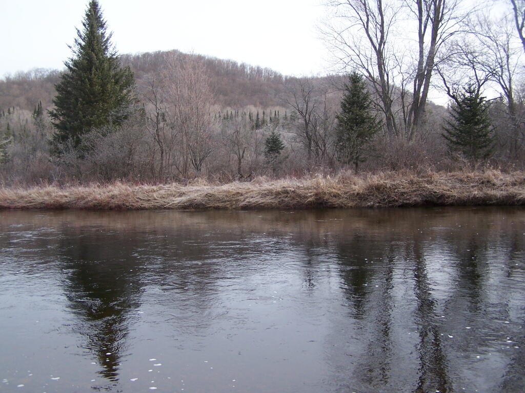
It may start to warm up earlier in lower elevations, but winter is still very much a force in late April in the Adirondacks. The East Sacanadaga River on this morning looks icy and cold.

May.

 Albany

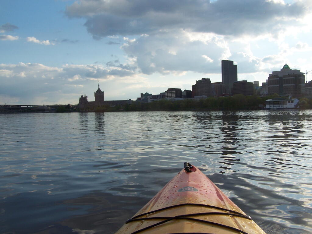
There’s Albany! From my kayak. I kayaked up to Downtown Troy from the Corning Preserve.

Towards Sand Pond Mountain

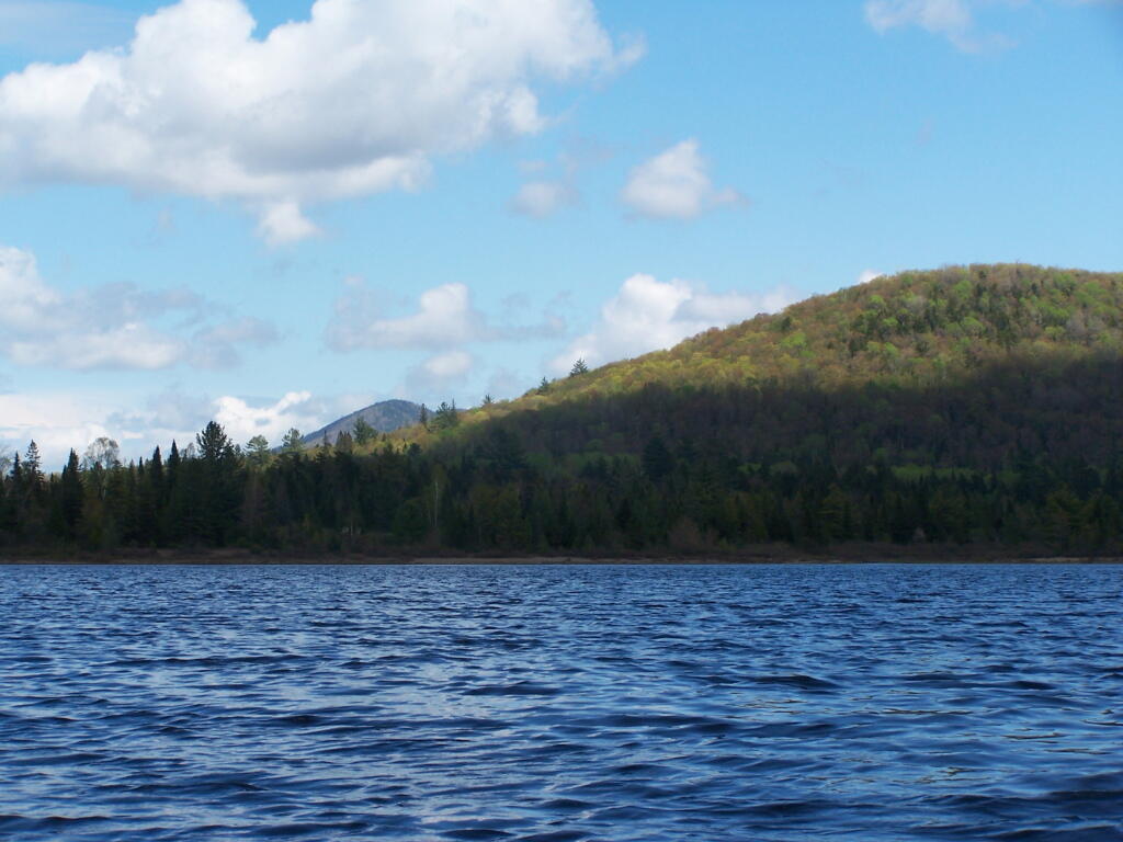
Spring finally comes to Adirondacks by late May. Paddling around Cheney Pond, looking towards Sand Mountain in the distance, on the other side of Hoffman Notch.

June.

Campsite in Morning

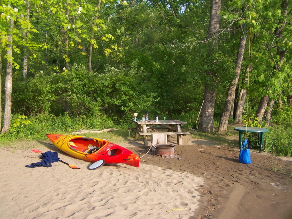
Kayak camping on Stockmans Island in the middle of the Hudson River. What an adventure, one I picked on a night when they had fireworks up at the Coxscake Town Park.

Foam from White Watch on Oswegatchie

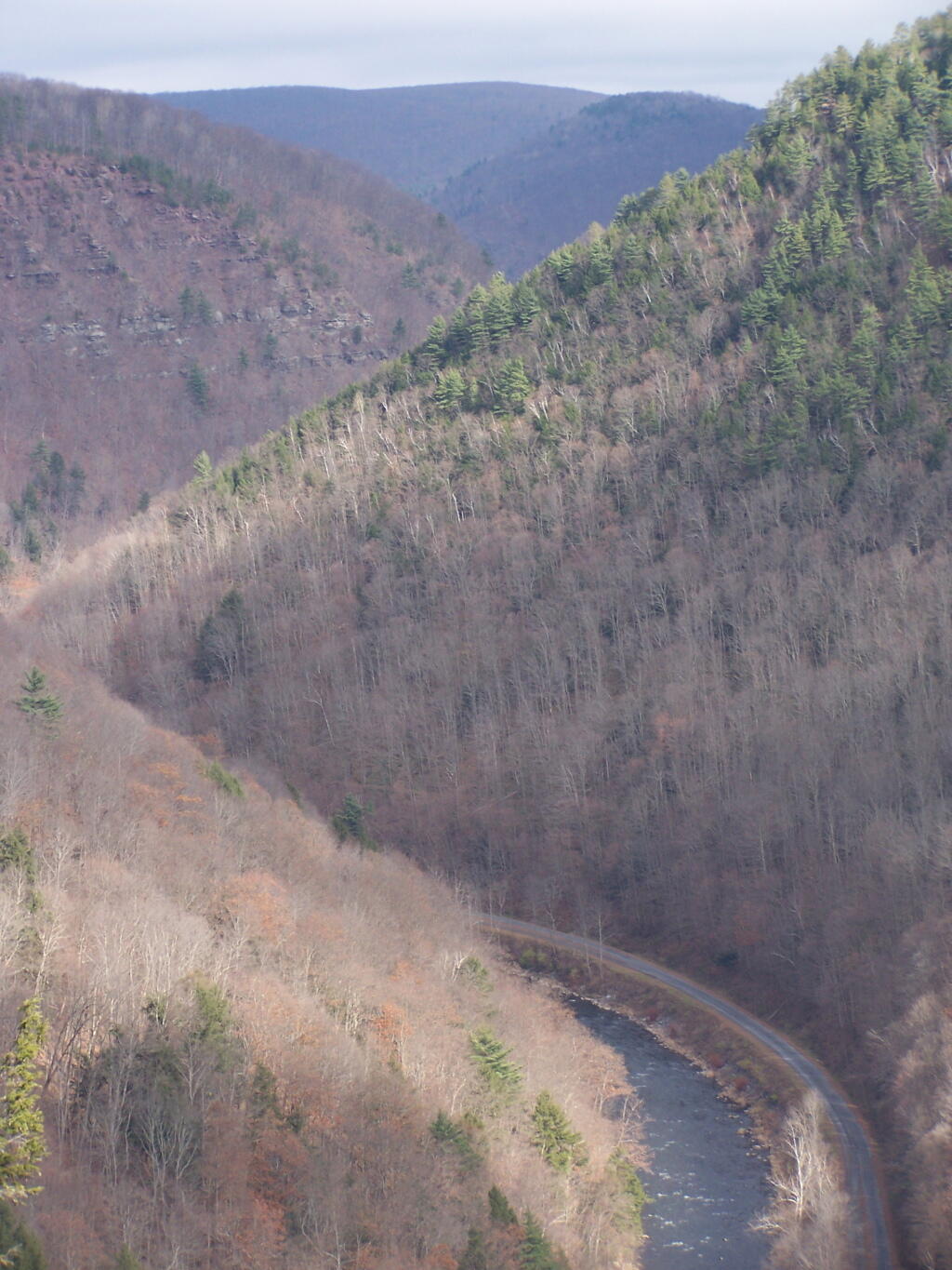
Oswegatchie River up in Watson’s Triangle in Adirondacks. There are few places as remote as this that you can drive on largely unmarked and rarely traversed back country roads. Watson’s Triangle is a place far of the beaten path.

July.

Cloudy Day

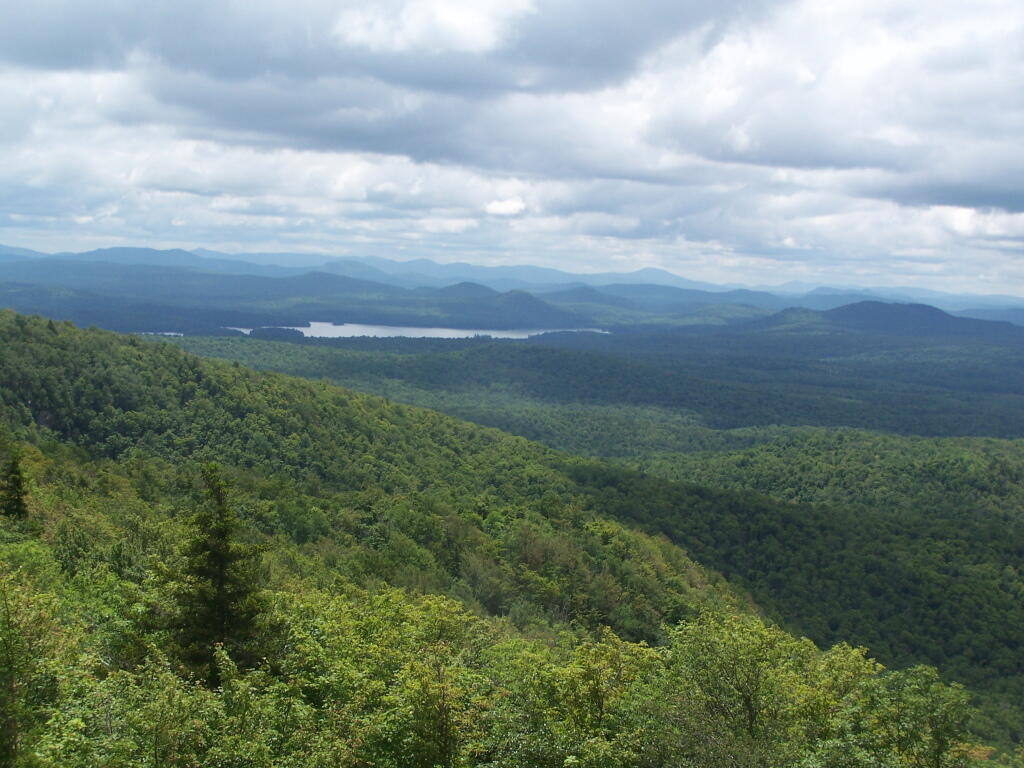
A dramatically cloudy day, looking down towards Tupper Lake from Mount Arab.

Falling Water

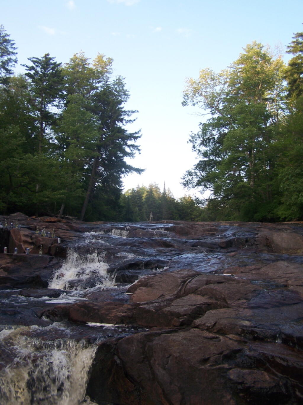
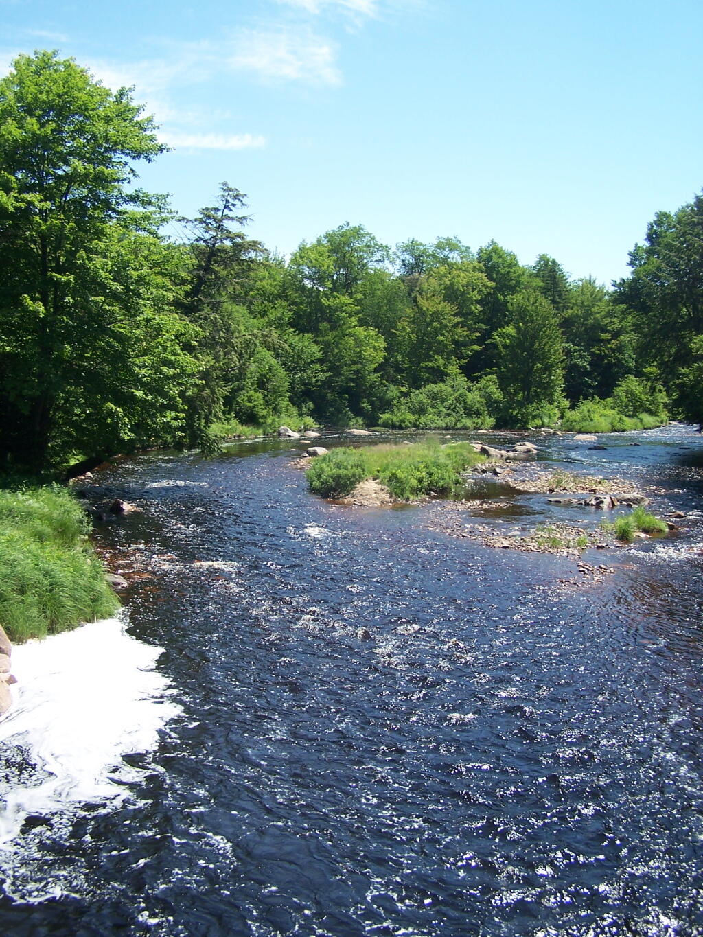
Cooling off at the Potholers on an oppressively humid summer’s day.

August.

Wider But Shallow Section of Beaver Creek

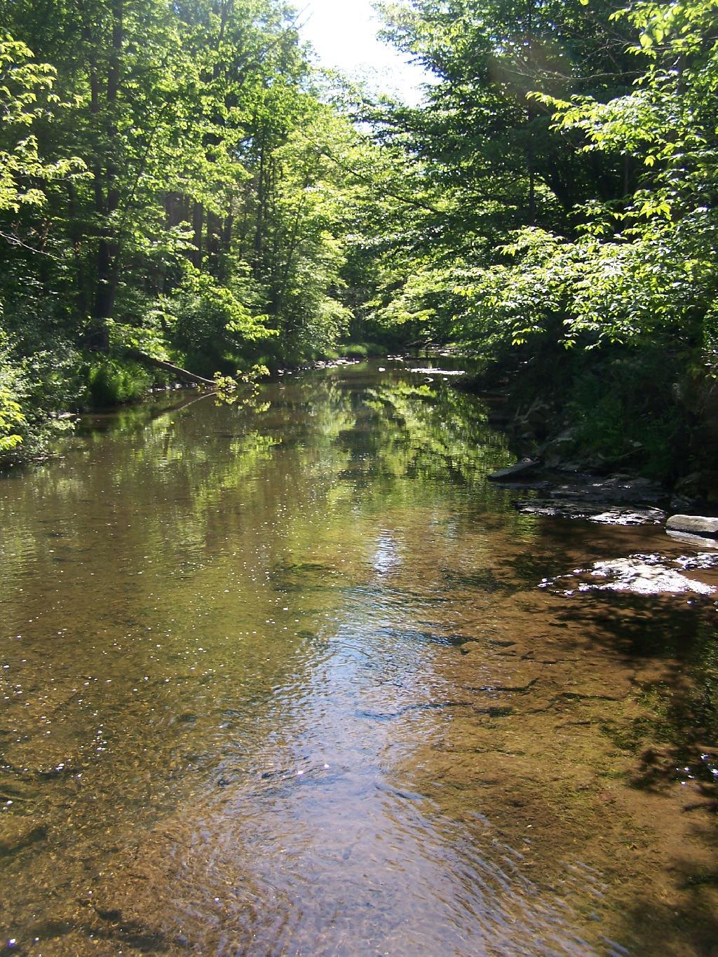
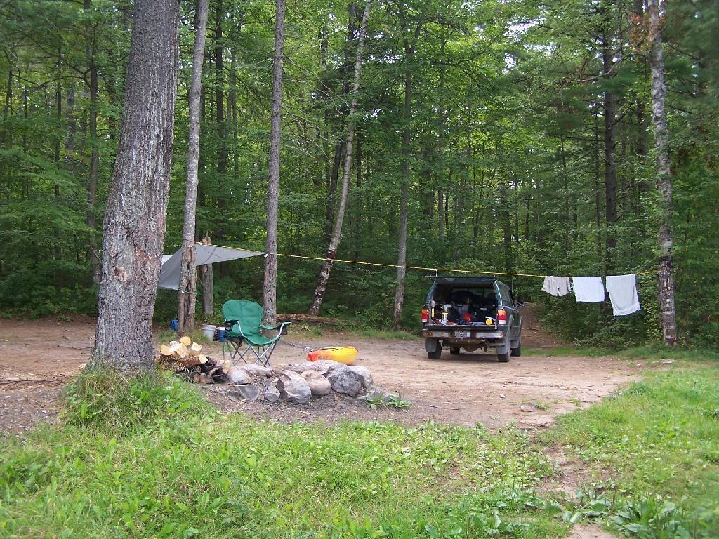
Exploring Beaver Creek at the Brookfield Railroad State Forest in Brookfield, NY.

Beaver Creek North

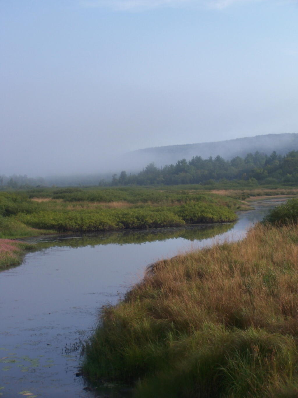
Watching the fog burn off Beaver Creek at Brookfield Railroad State Forest on a summer morning..

September.

View of Lake from Campsite

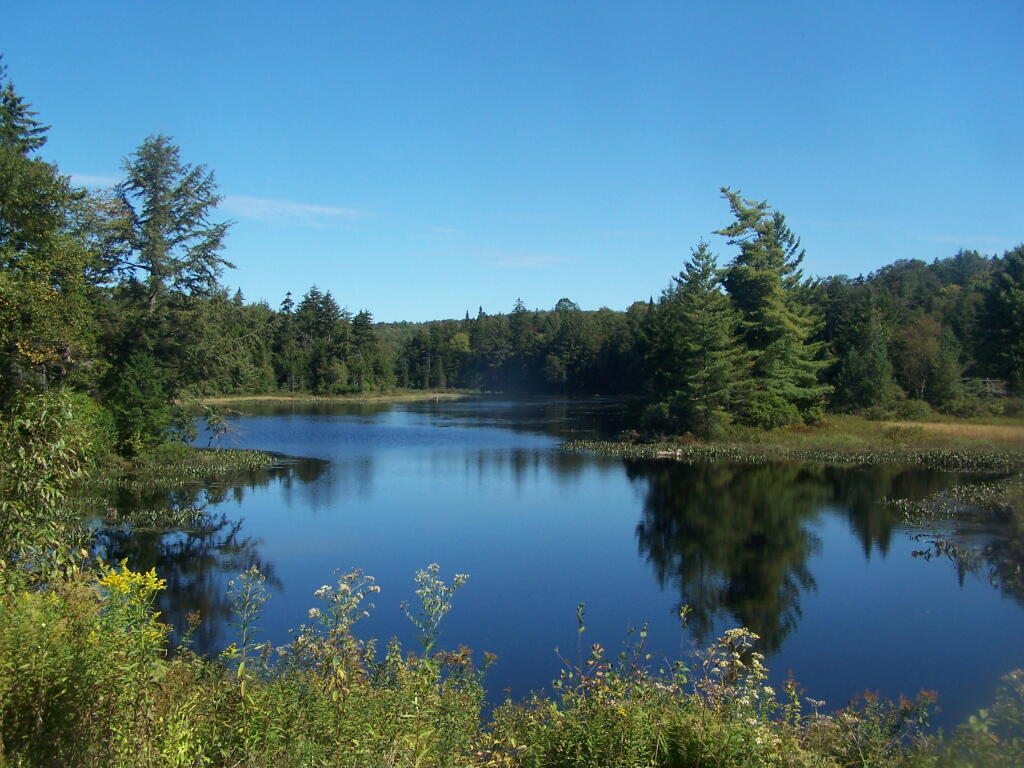
A beautiful late summer morning at North Lake in Adirondacks. North Lake is such a jewel, especially as you head farther north on the largely undeveloped portion of the lake.

Looking Back to Wakely Dam

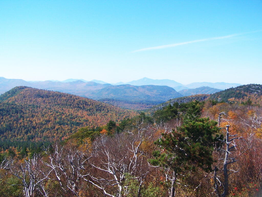
Fall was well underway, and even past peak at Moose River Plains by September 20th.

October.

South-West from the Top

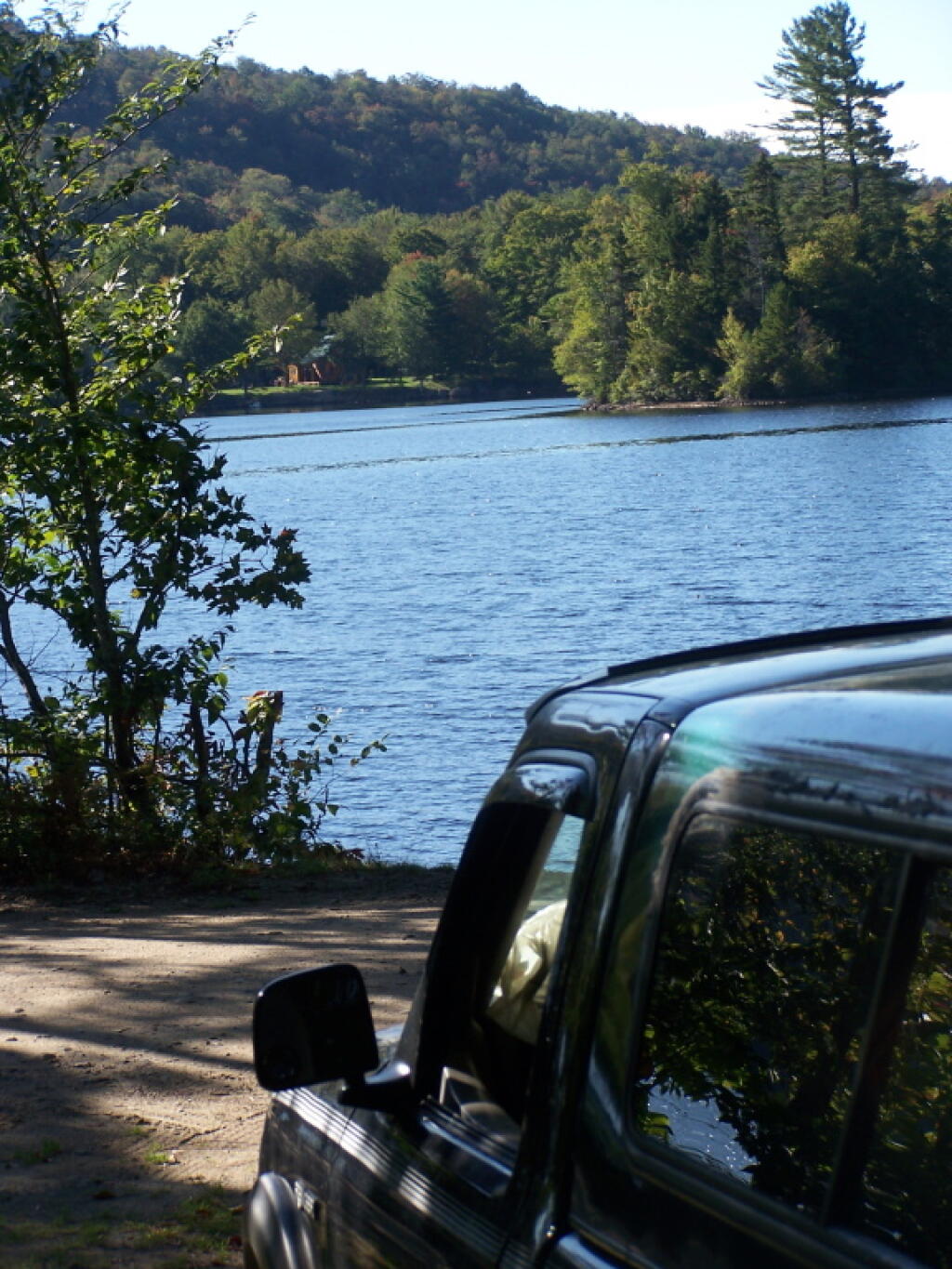
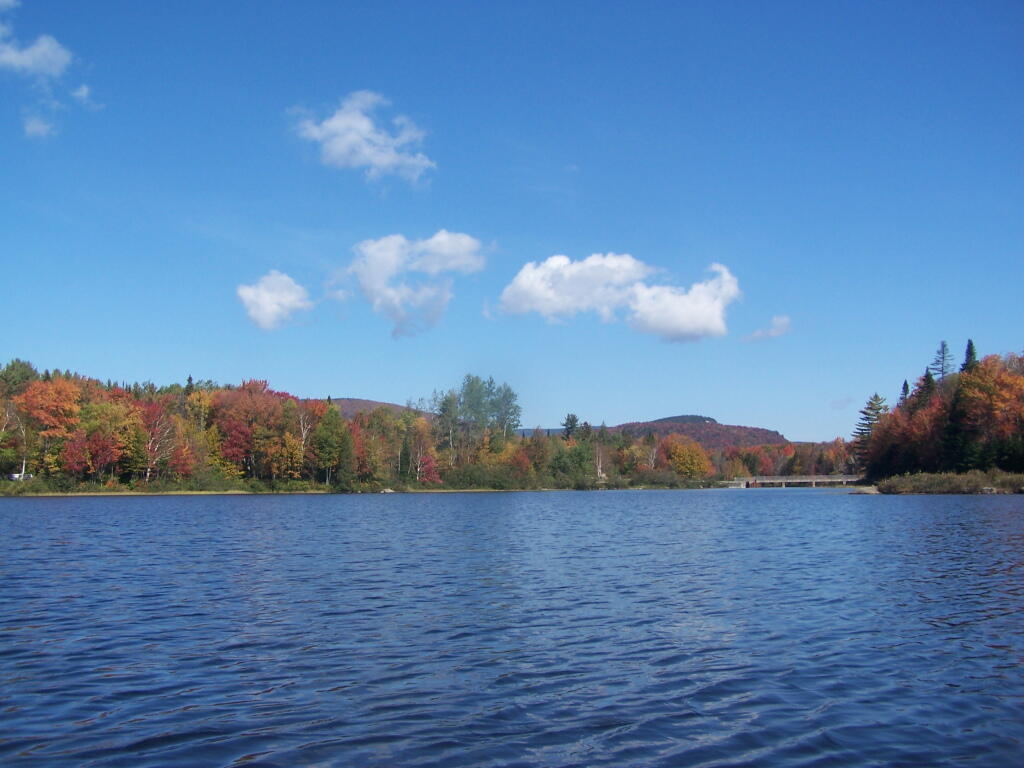
Second week of October, I went up to the North Country for some leaf peeping, hiking, and kayaking. The colors may be faded in Central Adirondacks, but still were good in lower elevation parts of the Northern Adirondacks.

Snake Mountain 5

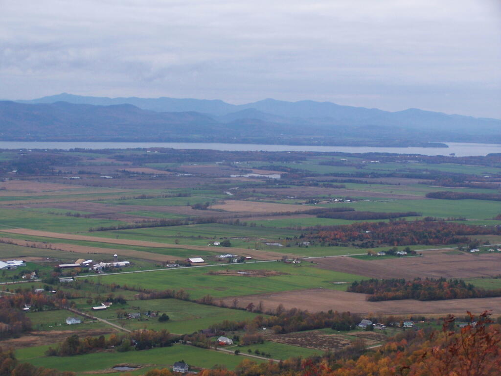
And later in October, I drove up to Snake Mountain in Vermont, overlooking the Champlain Valley and the Adirondacks. Colors lasted the longest

Leaves on Snow

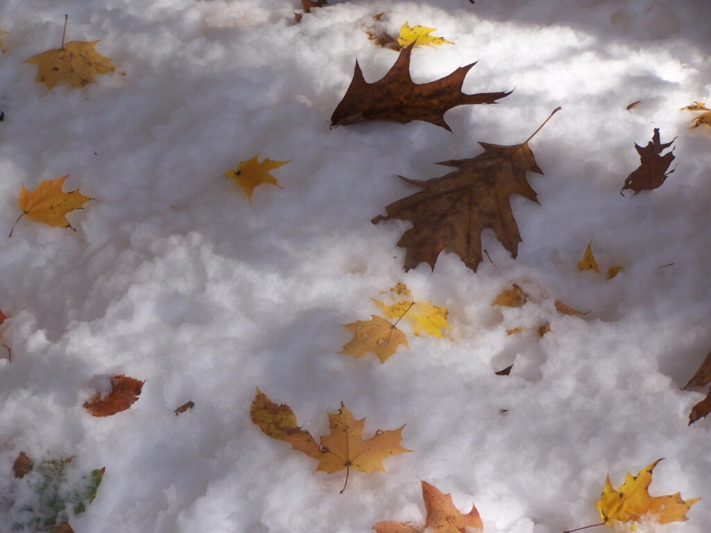
And by October 30th, we had snow, actually several inches, as seen up at Lake Taghkanic State Park.

November.

Powerlines Leaving the Hydro Dam

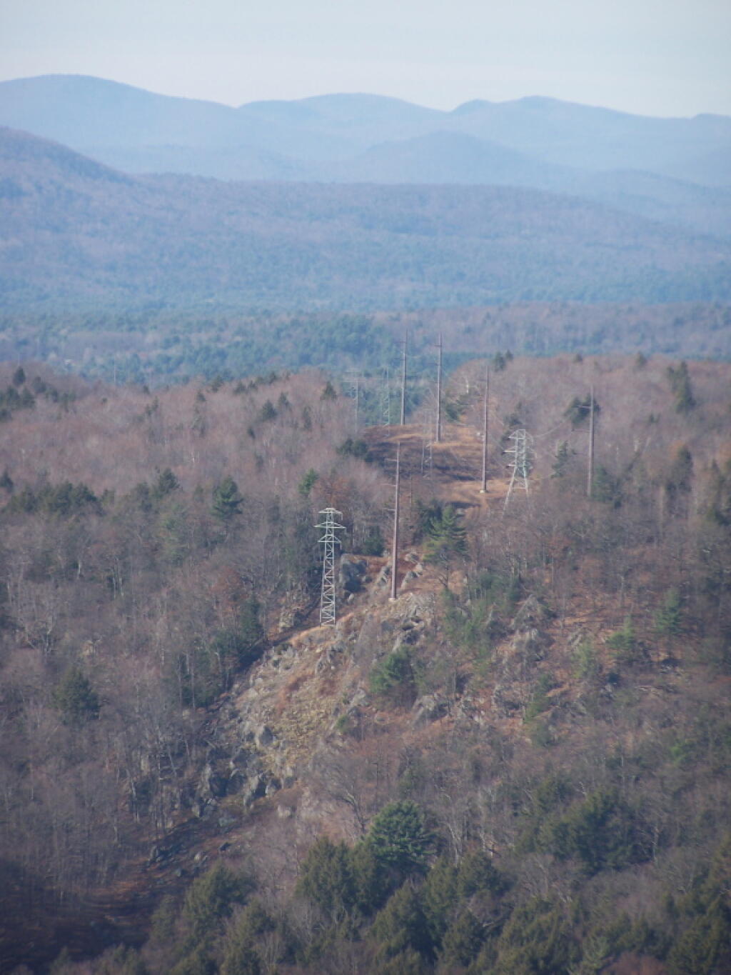
In November I visited Monreau Lake State Park for the first time, and checked out the Palmerstown Ridge above the Hudson River and Spier Falls. These power lines transfer power from Spier Falls Hydro Dam over to Corinth.

Durham Area

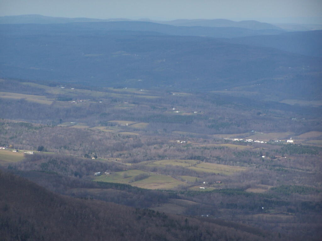
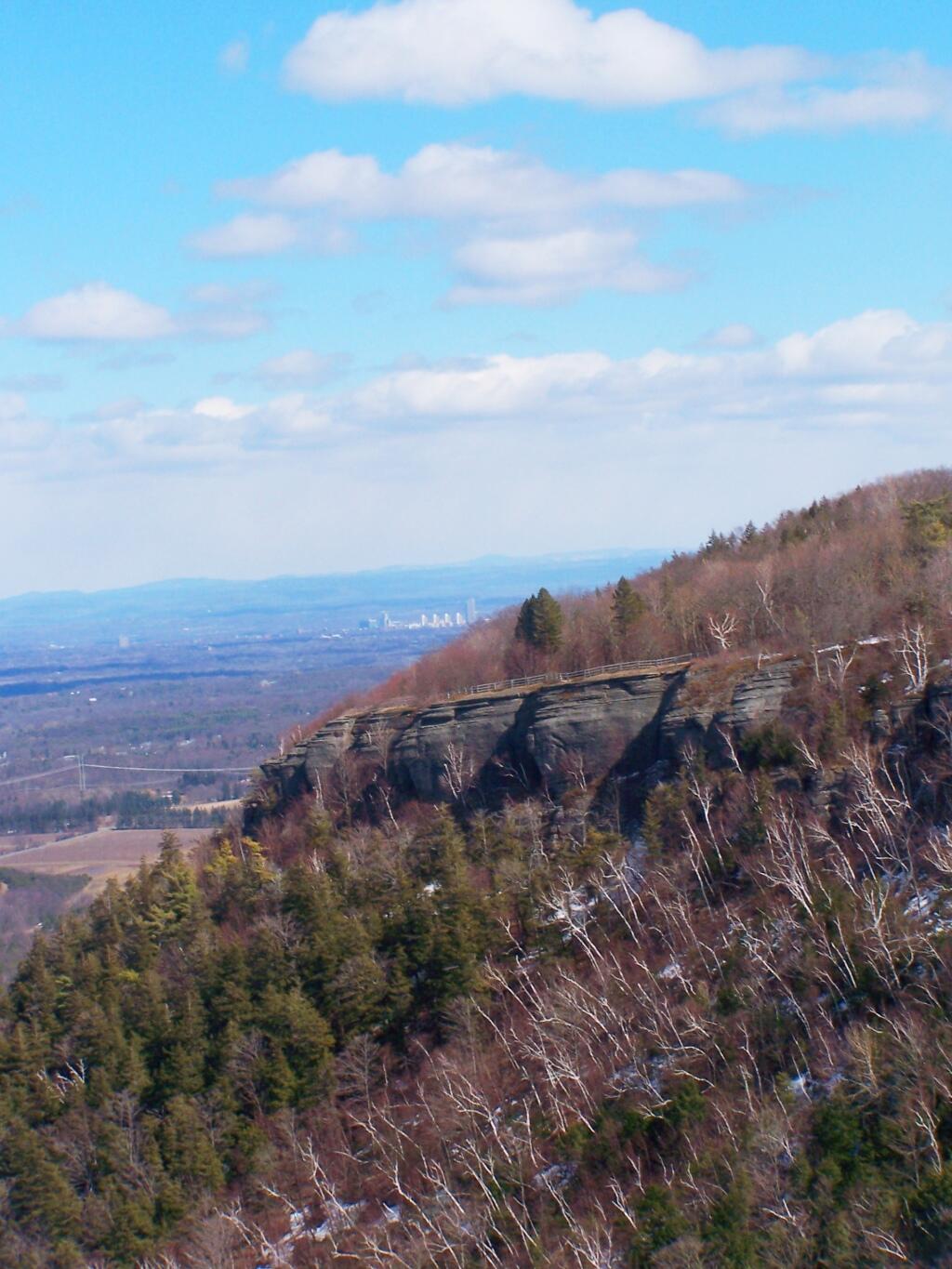
I also hiked up Windham High Peak. I hadn’t been there in many years, and it was interesting to look down at Preston Hollow and Medusa, far, far below.

December.

Rays Over Wilcox Lake Wild Forest

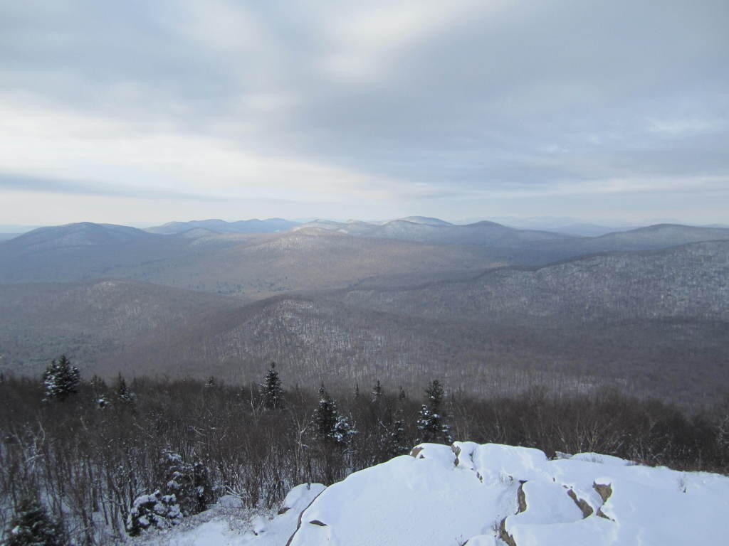
On Christmas Day, I hiked up Hadley Mountain. While cloudy and cold, it was very beautiful.

Ice Covered Pond

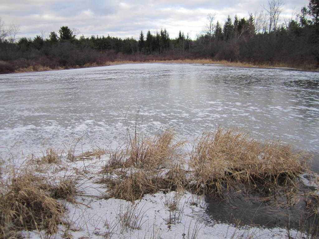
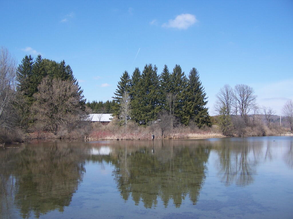
While the pond at Thacher Park was frozen, there still is very little snow locally.

Looking Back at 2011 in Photos

Today will take a look back at Year of 2011 in photos. Next week, I plan on doing an article featuring the Best of Photos of 2011. UNIX_TIMESTAMP(‘2011-1-1’) AND `date` < UNIX_TIMESTAMP('2012-1-1') ORDER BY `date` ASC"; $query = mysql_query("$sql"); while ($series = mysql_fetch_assoc($query) ) { $date = strtotime($series['dated']); if ($prevdate != date('F', $date) ) { echo '

‘.date(‘F Y’, $date).’.

‘;
$min = strtotime( date(‘F 1, Y’, $date) );
$max = strtotime( date(‘F t, Y’, $date).’ 11:59 AM’);

$sql = “SELECT `phototypes`.`filename` AS ‘type’, `photos`.`filename` FROM `photos`,`phototypes` WHERE `photos`.`typeid` = `phototypes`.`id` AND `date` > $min AND `date` < $max AND `phototypes`.`filename` NOT LIKE 'maps%' ORDER BY rand() LIMIT 1"; $pquery = mysql_query("$sql"); $photo = mysql_fetch_assoc($pquery); echo "

\n\n

“;

}

echo “{$series[‘title’]} / “.date(‘F j, Y’, $date).”
“;

$prevdate = date(‘F’, $date);

}

?>

Begin One Way, End One Way

Some struck me about these two signs along a short section of a one-way road at Colton Point State Park. They seemed to mean so much more then just their simple meaning for traffic, but something about life we all live.

Begin One Way

We all begin one way, set off to find our way through the wilderness of life, with little more then a rough sketch where want to end up.

Towpath

We wander through the wilderness, seeking that destination that we know want to reach, but even when the road is straight and narrow, it’s not always apparent on where will eventually end up.

Binoculars

We sometimes stop to check our way. We get out our binoculars and try to look to see if our destination is in site. It’s not always clear.

Coeymans Town Supervisor 2023 [Expires November 1 2024]

We glance off into wilderness the vista.

Walking Along Cedar River Road

As we kick some dirt up along the road.

Dead End: Last Turn Around

Trying to avoid the dead ends that seem to come upon as every few minutes.

Bench

We stop for a minute on a park bench.

River Flows

And peer down into the canyon as a changed indivdual.

And End One Way

And eventually we end one way. Was it the same way we started? No! I really doubt that. We have changed. We may have ended one way, but we ended a different way then we started.