Search Results for: map chenango county

Deepest Snow Recorded in NY State as of December 24, 2019

There locations have the deepest snow in New York State, per National Weather Service.

1) Lewis County, Osceola town, Osceola (OCON6)
7 inches β˜ƒβ˜ƒβ˜ƒβ˜ƒβ˜ƒβ˜ƒβ˜ƒβ˜ƒ Tue 7am

2) Essex County, North Elba town, Lake Placid 2 S (LPLN6)
7 inches β˜ƒβ˜ƒβ˜ƒβ˜ƒβ˜ƒβ˜ƒβ˜ƒβ˜ƒ Tue 8am

3) Lewis County, West Turin town, Highmarket (HGHN6)
7 inches β˜ƒβ˜ƒβ˜ƒβ˜ƒβ˜ƒβ˜ƒβ˜ƒβ˜ƒ Tue 6am

4) Fulton County, Bleecker town, Gloversville 7NW (Peck Lake) (PEKN6)
6 inches β˜ƒβ˜ƒβ˜ƒβ˜ƒβ˜ƒβ˜ƒβ˜ƒ Tue 7am

5) Cortland County, Marathon town, Marathon 1.0 NW (NY-CR-5)
5 inches β˜ƒβ˜ƒβ˜ƒβ˜ƒβ˜ƒβ˜ƒ Tue 7am

6) Tioga County, Berkshire town, Berkshire 1.9 ENE (NY-TG-15)
4.5 inches ❄️❄️❄️❄️❄️ Tue 8am

7) Schoharie County, Schoharie town, Schoharie (SHHN6)
4 inches ❄️❄️❄️❄️❄️ Tue 7am

8) Warren County, Chester town, North Creek 5 SE (NCKN6)
4 inches ❄️❄️❄️❄️❄️ Tue 7am

9) Franklin County, Malone town, Malone (MALN6)
4 inches ❄️❄️❄️❄️❄️ Tue 7am

10) Hamilton County, Indian Lake town, Indian Lake (INDN6)
4 inches ❄️❄️❄️❄️❄️ Tue 8am

11) Schenectady County, Duanesburg town, Delanson 2Ne (DLSN6)
4 inches ❄️❄️❄️❄️❄️ Tue 7am

12) Otsego County, Hartwick town, Hartwick (NY-OT-11)
3.5 inches ❄️❄️❄️❄️ Tue 8am

13) Franklin County, Tupper Lake town, Tupper Lake Sunmount (TOPN6)
3 inches ❄️❄️❄️❄️ Tue 7am

14) Saratoga County, Saratoga Springs city, Saratoga Springs 0.5 S (NY-SR-4)
3 inches ❄️❄️❄️❄️ Tue 6am

15) Schenectady County, Niskayuna town, Niskayuna 2.0 N (NY-SC-16)
3 inches ❄️❄️❄️❄️ Tue 7am

16) Otsego County, Pittsfield town, New Berlin 1.5 NE (NY-OT-29)
3 inches ❄️❄️❄️❄️ Tue 8am

17) Herkimer County, German Flatts town, Ilion 0.7 WSW (NY-HR-16)
3 inches ❄️❄️❄️❄️ Tue 7am

18) Franklin County, Brighton town, Gabriels 1.3 SE (NY-FK-9)
3 inches ❄️❄️❄️❄️ Tue 7am

19) Chenango County, Preston town, Norwich 5.4 W (NY-CN-9)
3 inches ❄️❄️❄️❄️ Tue 7am

20) Schenectady County, Niskayuna town, Niskayuna (NSKN6)
3 inches ❄️❄️❄️❄️ Tue 7am

21) Schuyler County, Hector town, Mecklenburg 4 SW (MECN6)
3 inches ❄️❄️❄️❄️ Tue 7am

22) Greene County, Jewett town, Residence Within (JWTN6)
3 inches ❄️❄️❄️❄️ Tue 6am

23) Steuben County, Hornellsville town, Hornell Almond Dam (HRLN6)
3 inches ❄️❄️❄️❄️ Tue 7am

24) Lewis County, Watson town, Chase Lake (GFDN6)
3 inches ❄️❄️❄️❄️ Tue 6am

25) Delaware County, Sidney town, E Sidney (ESDN6)
3 inches ❄️❄️❄️❄️ Tue 9am

Photo.2014.02.08 18.40.17

May 15, 2016 Afternoon

Good afternoon. Cloudy and cold morning today around 51 degrees. Blustery with a wind from West-Northwest 22 mph, with gusts up to 32 mph. Definitely watch for the cross winds on the roads especially if you have a big jacked up truck. Going to be a gray day, I don’t expect a lot of sun today but maybe it will peak out for a while this afternoon. Regardless it will be cold with the wind, gray skies and a chance of rain throughout the day.

Yesterday was the Lupine Festival at the Albany Pine Bush Preserve Commission headquarters. It turned out to be a nice day, getting fairly warm and the rain held off to evening. I was dead tired last evening and slept for a while then played on my laptop and watched a rather strange program on race on PBS World Channel.

Made pancakes this morning. Then a few more maps for the blog. Then fixed the messed up maps. This week will feature Southern Madison County and Northern Chenango County. Also Pennsylvania Census data. Been cleaning up around the apartment.

January 10, 2016 Morning

Good morning! Happy Sunday. It is currently a wet start to our morning with times of heavy rain and some fog/mist with temperatures around 39 degrees. Kind of wet out there for sure, I can hear the rain pounding on the roof.

Today will have rain and possibly a thunderstorm, mainly before 5pm, then a chance of rain and thunderstorms after 5pm. Some of the storms could produce heavy rainfall. High near 56. Southeast wind 10 to 14 mph. Chance of precipitation is 90%. New rainfall amounts between three quarters and one inch possible. So pretty wet.

Sunset will be at 4:41 pm with twilight at 5:13 pm which is one minute and 5 seconds later then yesterday. Before you know it, sunset will be after 5 PM and we’ll have some sun in the evenings.

There are 1 month, 5 days until It’s Presidents Day. It will be here before you know it. I hope to take a long weekend and maybe a few days added on to go winter camping and ice fishing at Balsam Pond in Chenango County. It would be nice to get out of town for a few days.

Been researching making concentric circles and viewshed analysis in QGIS because I want to start making maps that show what one can see from a top of a mountain or firetower. Maps of a region are great but it would be nice to hide or at least mark peaks and lakes that are invisible to the viewer. Fortunately, they make QGIS plug-ins that make such things easy to do. I got to get down to the library to download those plug-ins at noontime today.

And Then Winter Came Back Around on the Calender

It seems like it was just yesterday, and it was April 5th, the first day on the calender I spend out in the wilderness camping. It was the wilds of Chenango County, camping at Balsam Lake with there still being a fair bit of snow on the ground in parts, and the pond was well frozen. It would be over a month until the leaves returned to the Adirondacks – I would go up to the Adirondacks two times after the 5th, and there would still be no leaves on the trees and ice still around.

Setting Sun Over Boat Dock

Where did the summer of my 30th year go so fast? I guess there was many great adventures as my camera and dwindling checking account would suggest. And there would be another year of trips and places and small towns to see on my 31st year, as soon as the winter relents in April. But in the mean-time there will be be winter. The camping gear has been packed away or is in the process of being packed away, the readily-burnable styrofoam plates and camping cooler have already been locked away in the attic. Christmas lights that kept the campsites cheery over the months, are now hung in the apartment, and inverter in my truck is just doing do light duty, keeping my cellphone charged during shorter road trips.

Icy Fish Pond

I thought about getting a snowmobile and spending more time in the back country in the winter, but put it off in favor of doing the lift kit on my truck next April. Winter is cold, and even with a sled, I don’t know how much camping I would do at any rate. Winter nights are long – something I learned on my last camping trip, when there was 15 hours of darkness with the sun setting around 4:15 PM. My snowshoes will work well enough for the occasional winter trip – I think I’d rather save the gasoline for more warm weather trips once the snow melts.

As the Fire Dies Down

As much as anyone, I am looking forward to April after a few quite, solemn months, where I will spendΒ  writing new code for my blog, doing essays, and making up new maps. Winter is a good time to think about the next year’s adventures. Sitting by the warm radiator with a book beats sitting in the cold snow in darkness. April I will get the lift kit and the 35s on my truck, and be out on my first adventure – most likely to the Finger Lakes National Forest. It should be fun.

Little Cathead Mountain

Campsites and Lean-Tos in DEC Region 7 (Central NY)

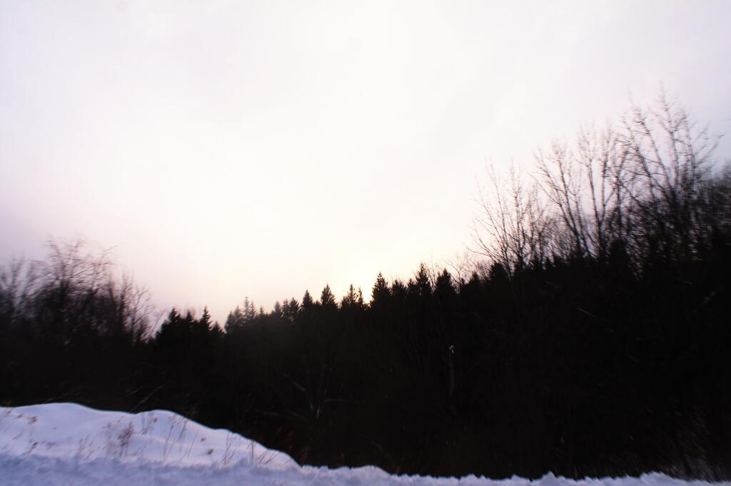
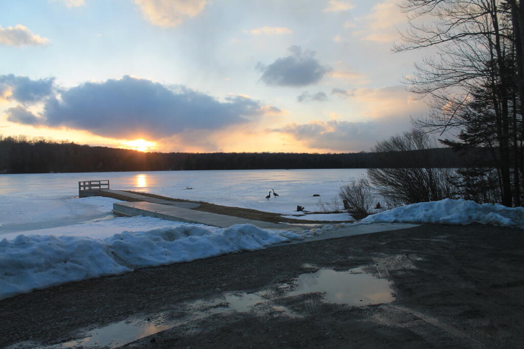
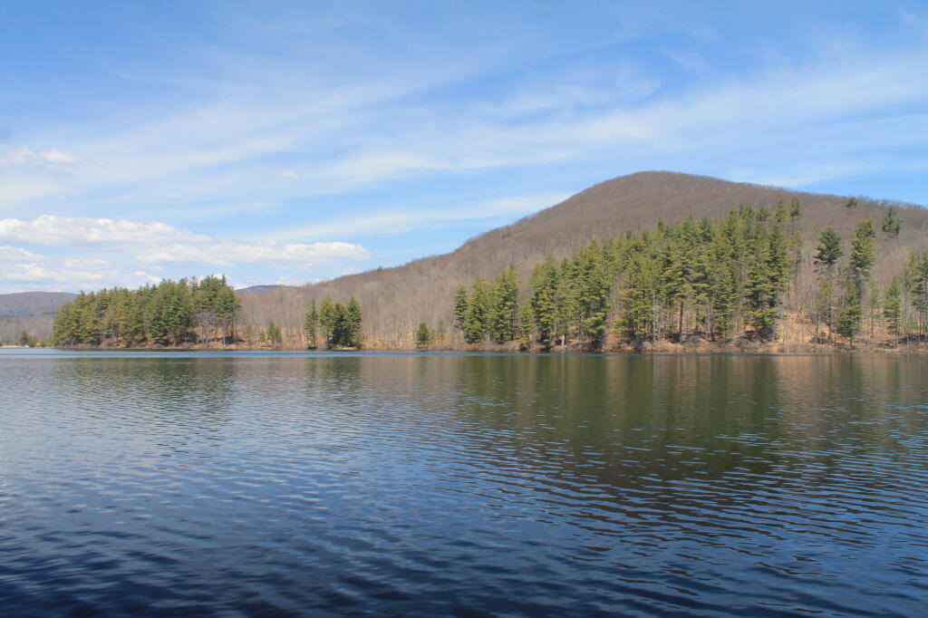
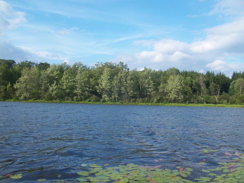
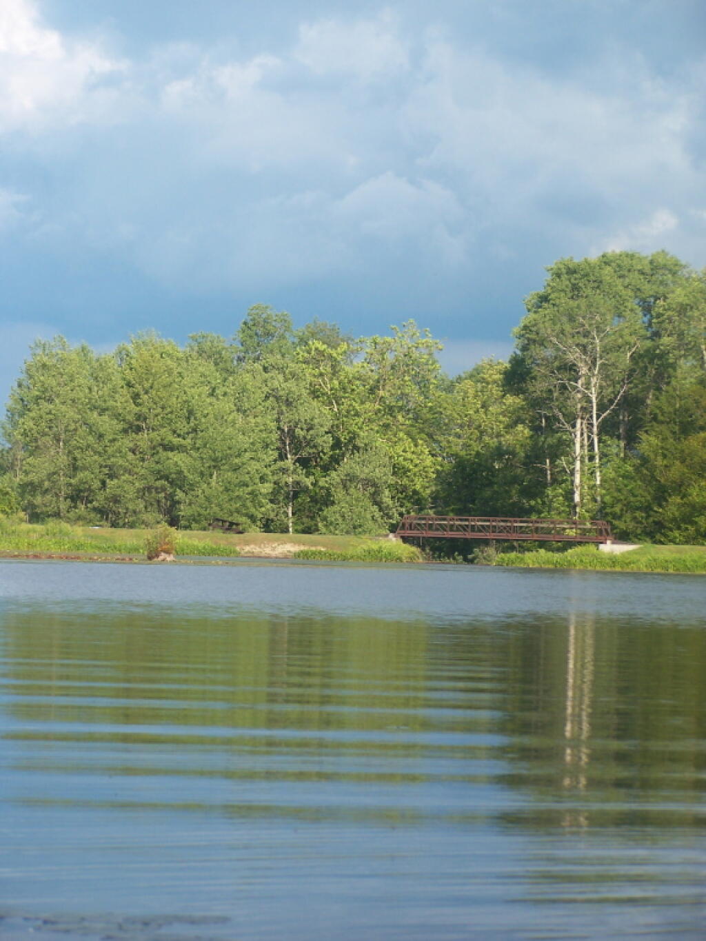
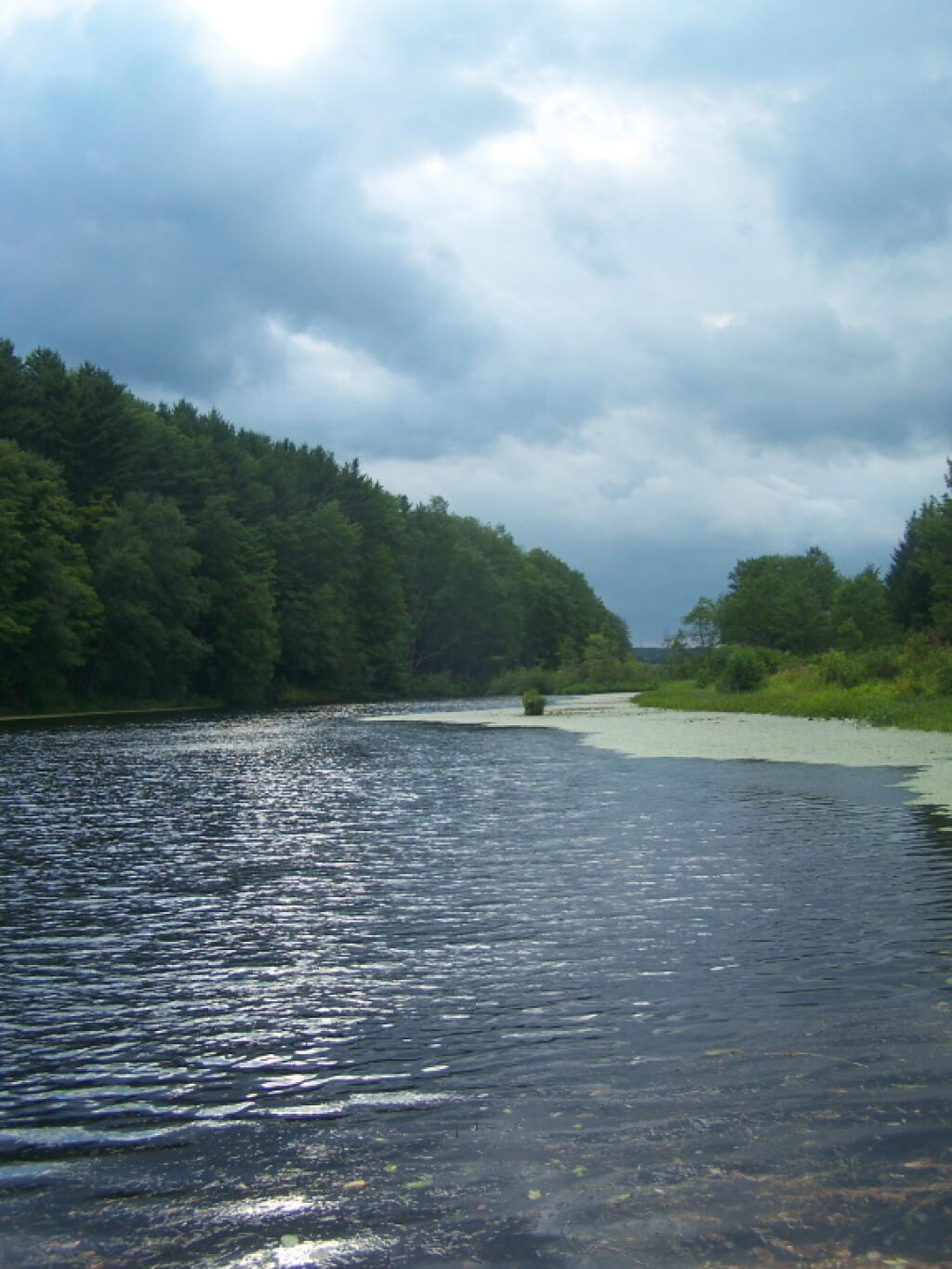
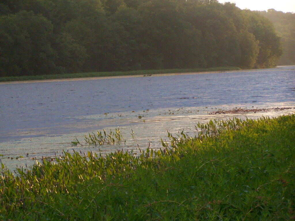
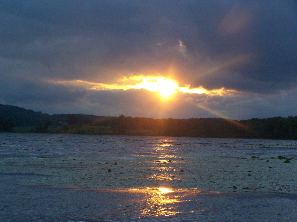
Today we look at Campsites and Lean-tos and other “developed” camping opporunties in DEC Region 7, which consists of lands in Central NY Counties of Broome, Cayuga, Chenango, Cortland, Madison, Onondaga, Oswego, Tompkins and Tioga, and is based on data in Region 7 Recreation Master Plan.

Rhododendrons

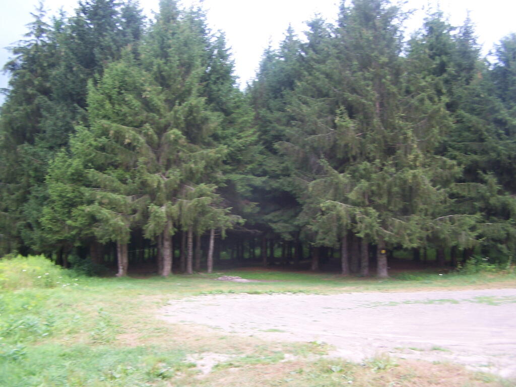
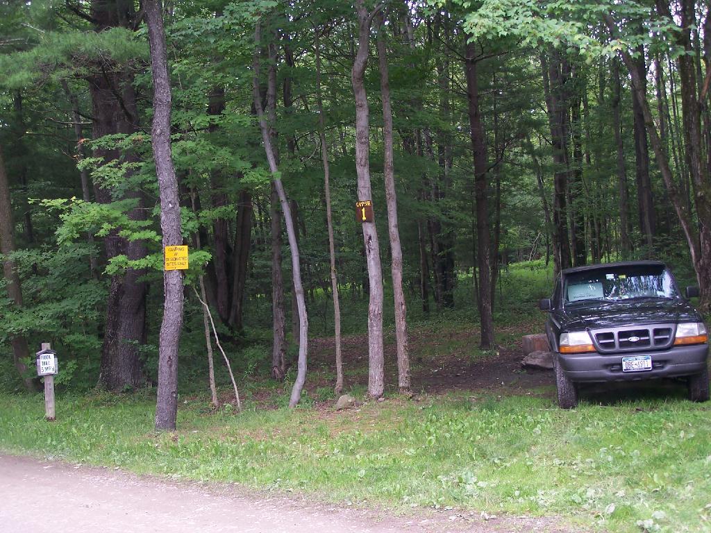
Current 85 Designated Campsites/Lean-Tos.

  • Balsam Pond State Forest (Chenango 17) – 1 campsite at Baker’s pond
  • Balsam Pond State Forest (Chenango 34) – 9 campsites 3
  • Beaver Creek State Forest (Madison 12) – 2 campsites at the assembly area 4
  • Charles E. Baker State Forest (Madison 1) – 14 campsites at Moscow Hill 4
  • Charles E. Baker State Forest (Madison 1) – 2 lean-tos
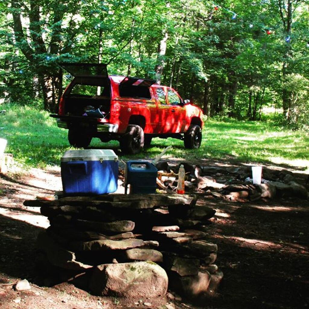
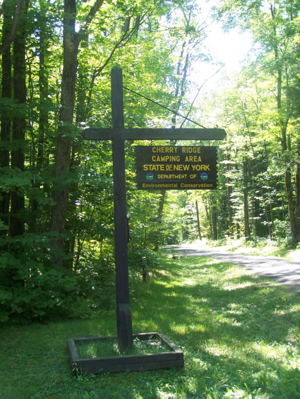
  • Charles E. Baker State Forest (Madison 1) – 8 campsites at Cherry Ridge 3
  • Danby State Forest (Tompkins 1) – 2 lean-tos (Finger Lakes Trail)
  • Gee Brook State Forest (Cortland 17) – 6 campsites at Calico Pond
  • Long Pond State Forest (Chenango 35) – 8 campsites
  • Ludlow Creek State Forest (Chenango 6) – 1 lean-to (Finger Lakes Trail)
  • Mariposa State Forest (Chenango-Madison 1) – 1 lean-to (Finger Lakes Trail)
  • McDonough State Forest (Chenango 1) – 3 campsites at Whaley Pond
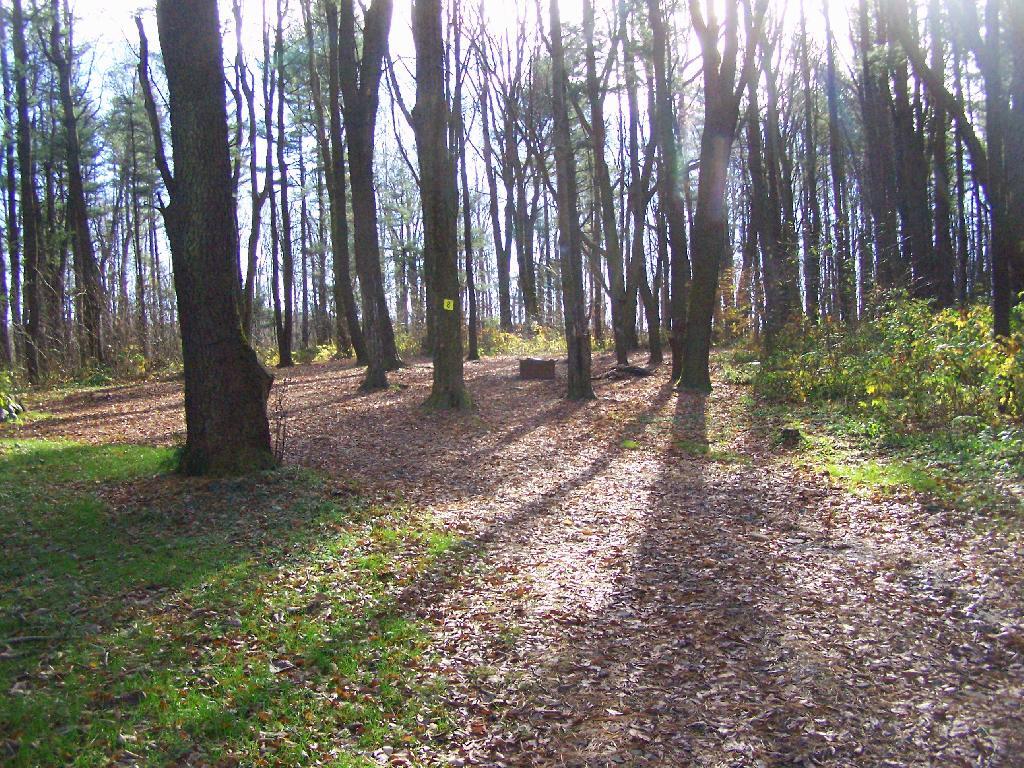
  • Morgan Hill State Forest (Cortland 4) – 1 lean-to
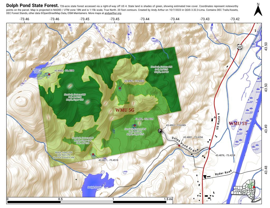
  • Morgan Hill State Forest (Onondaga 1) – 9 campsites at Spruce Pond 1
  • New Michigan State Forest (Chenango 5) – 1 lean-to (Finger Lakes Trail)
  • Robinson Hollow State Forest (Tioga 3) – 1 lean-to
  • Shindagin Hollow State Forest (Tompkins 3) – 1 lean-to (Finger Lakes Trail)
  • Stoney Pond State Forest (Madison 13) – 12 campsites 2
  • Taylor Valley State Forest (Cortland 2) – 12 campsites 5
  • Tuller Hill State Forest (Cortland 9) – 1 lean-to
  • Whaupaunaucau State Forest (Chenango 31) – 1 lean-to
  • Wiley Brook State Forest (Chenango 7) – 1 campsite

1 DEC Camping permit required. Call (607) 674-4036 to have a permit mailed to you.

2DEC Camping permit required from April 15-October 15th. Call (607) 674-4036 to have a permit mailed to you.

3 Vehicle accessible.

4Horse Assembly and Camping-area.

5 Currently undesignated sites (lacks “Camp Here Markers”) on an old loop road that was part of CCC Camp in Taylor Valley.

Related Maps.

Reed Hill

Pavilion

Morning shadows

Waterfall on the Long Path

Shoreline

DEC’s Future Plans for Region 7

1. Develop 31 additional campsites in Region 7. Twenty-eight of these will be open campsites and three will be lean-tos. A portion of the new campsite development will occur on Hall Island State Forest (Oswego 10), as noted in items b and c. The Department will consider the option of permanently closing any or all of the Island campsites if patrol or enforcement problems become an issue. Fiscal constraints and public demand will determine if any additional campsites are to be developed within the Region.

a. Development of the new campsites will be in compliance with the guidelines for access by people with disabilities.

b. Develop 12 to 15 open campsites on Hall Island State Forest (Oswego10). These campsites will be located on the south side of the Salmon River Reservoir and will only be accessible by water. A permit will be required to occupy these sites. Three of these sites will be developed for people with disabilities . c. On Hall Island State Forest (Oswego 10), upgrade two designated campsites on Burdick Island and two campsites on Huckleberry Island in the Salmon River Reservoir. A permit will be required to occupy these sites. Two of these sites will be developed for people with disabilities.

Households That Make Less then $30k

d. Develop one lean-to campsite along the Finger Lakes Trail on Perkins Pond State Forest (Chenango 22) in the Town of Otselic.

e. Develop two open campsites on the Marsh Pond State Forest (Broome 4) near the pond. One of these sites will be developed for people with disabilities.

f. Develop three campsites on Robinson Hill State Forest (Tioga 3) near Tricounty Pond. The exact number of sites will be determined from local demand. One or two of these sites will be developed for people with disabilities. Install kiosk and develop area brochure.

g. Develop one lean-to on the Genegantslet State Forest with access from Creek Road. The access trail to the lean-to will be approximately 0.7 miles of hiking trail.

h. Develop an open campsite in stand C-7 on Long Pond State Forest (Chenango 35) designed for access by canoe or boat.

i. Develop three open campsites on Oakley Corners State Forest (Tioga 2). One of these sites will be developed for people with disabilities. Use of these sites will be by permit only.

j. Upgrade and designate three formal sites on the Salmon River State Forest (Oswego 8). A permit will be required to occupy these sites.

k. Rebuild the lean-to along the trail on Chateaugay State Forest (Oswego 4 & 5).

Cherry Ridge Camping Area Sign

l. Build one lean-to on Cuyler Hill State Forest (Cortland 6).

m. Inspect and, if necessary, repair or replace lean-tos on the Finger Lakes Trail.

2. Propose a change to the current regulations to address the conflicts encountered with camping within 150 feet of a road.

a. Propose a change to the current regulation that prohibits camping within 150′ of any road. The intent of this proposal is to accommodate the style of camping that is common during hunting season.

Number 1

3. Provide camping opportunities on State Forests for people with disabilities. These ADA compliant facilities will be distributed throughout the Region. Most of the designated campsites will have fire rings and several of the sites will have picnic tables. Fire rings, picnic tables and benches will be of Universal Design. Accessible latrines will be located at areas with several campsites, such as Long Pond, Stoney Pond and Charles E. Baker State Forests. All camping areas that can be driven to will have at least one accessible parking space. a. Make alterations to the Moscow Hill campsites on the Charles E. Baker State Forest (Madison 1 & 4) so that at least four of the sites are accessible by people with disabilities.

Hunting Camps Along Reservoir

4. Designate 14 campsites at Moscow Hill, Madison 1, camping area.

5. Maintain 85 existing campsites.

6. Propose a regulation to prohibit camping at Nanticoke Lake Multiple-Use Area and Redfield Island Day-Use Area

Campsite 8

7. Remove the lean-to on New Michigan State Forest (Chenango 5) This lean-to is structurally poor and is no longer located on an active trail. The lean-to proposed in 1. d will replace this lean-to.

Kayaking Long Pond

Long Pond offers 8 designated roadside campsites, and a handful of other informal campsites on the other side of the lake. A large man-made lake in an agricultural landscape of Chenango County, it offers some excellent fishing and nice views, especially for Chenango County.

Reed Hill

This map below shows where each picture was taken roughly in the area.

Farm on North-West Side

Flower on Lake

Barn Along NY 41

Rain Drops

Bailed Hay Along Pond

Flowers

Dolph Pond State Forest

Great Blue Heron

Finally Starting to Clear!

Timber Planation Along Long Pond

Blue Skies

Checking the Map

Clearing

Hatch Brook Falls

Dam at End of Lake

 Fields

White Birch Planation

West from Dam

Campsite 7

Golden Rod

Golden Rod, Trees, Clouds

Evening Sun Peaking Out

Rays Hitting the Pond

Backlit

Evening Sun Peaking Out

Sunset on the Lake

Sun Rays

Reflections of Sun

What God Sees When He Looks Down at New York

Note on the Re-run on May 14th: This continues to be one of my favorites Fodder essays to take a look at. New York State is a beautiful place! — Andy

‘; ?>

Adirondack Mountains.

Binghamton and
Confluence of Chenango and Susquehanna Rivers.

Catskill Mountains.

Cortland.

Finger Lakes.

Hudson Highlands.

New York City.

Orange County’s Black Dirt Country.

Western Catskills and
Country Near Delhi.

‘ ?>