Search Results for: photo bridge and mountains 2

I used to be so burly

And now I’m so tall and lanky compared to that picture on summer vacation three years ago with me wearing that second amendment t-shirt. The thing is the change was worth it, I’ve learned a lot about food and nutrition and I’m so much healthier these days, and my meals are so much filling without the hunger or extreme fullness I used to have.

Good morning! Happy Tuesday. Clouds, wildfire smoke and 69 degrees in Delmar, NY. ☁️ There is a south-southeast breeze at 5 mph. 🍃. The dew point is 66 degrees. The air quality index is 131, unhealthy for sensitive groups.

Today is the 200th Day of Year. ⏳Only 165 days remain. It will be 2024 before you know it, a fact that a lot of people are already a lot more focused on then I am. Maybe because lately the markets have been on such an upswing. 📈 I’m glad because the end of the year last year was so depressing. While there is storm clouds in the distance sometimes the storm breaks up and doesn’t hit and I’m young and I fundamentally believe that the US economy will continue to grow and if it slows too much the politicians will goose it and at least boost the markets. 🦆

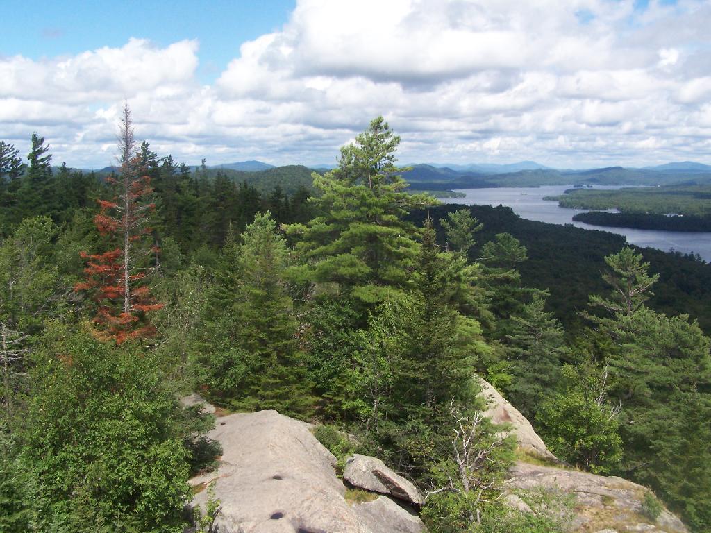
Another hot and humid summer morning with the wildfire smoke 🌫 making everything look quite dull. At least there isn’t that acrid smell from the smoke currently like there was around dusk last night when I was riding back from Five Rivers Environmental Education Center. When you smell wildfire smoke it’s really not pleasant, more like smoldering PVC plastic then wood smoke. 🤮 And it kind of burns your lungs. Fortunately that’s not all the time, usually just around dusk when the air settles down.

Moving a bit slowly this morning 🛌 though I slept surprisingly soundly. I didn’t get out walking until nearly 6:40 AM as I hit the snooze button a few times ⏰ and then by the time I got downstairs, did the bathroom thing 🚽 and had some cold coffee ☕,  along with a hard-boiled egg I pulled out of the fridge, and a few carrots. 🏃 Did my walk, then came home and had some cream of wheat, fresh blueberries and Greek yogurt for breakfast with a side of some red kidney beans with a bit of sugar-free maple syrup. Black beans, farmer market tomato, mushrooms and another hard-boiled egg for lunch. Not sure yet what is for dinner, maybe brown rice and shrimp, though the shrimp is still frozen. Haven’t had that in a while.

Today will have isolated showers before noon, then scattered showers and thunderstorms between noon and 3pm, then showers likely and possibly a thunderstorm after 3pm. Some of the storms could produce heavy rain. Widespread haze. Partly sunny 🌦, with a high of 84 degrees at 2pm. Typical for today. Maximum dew point of 72 at 4pm. South wind 3 to 7 mph. Chance of precipitation is 60%. New rainfall amounts between a half and three quarters of an inch possible. A year ago, we had light rain in the morning, which became rain by afternoon. It was very sticky. The high last year was 81 degrees. The record high of 100 was set in 1953.

Payday today. 💵 Money hasn’t hit my checking account quite yet but I’m sure it will shortly. It better hit relatively soon as I will need it to pay the rent because I don’t have a lot of excess funds due to double paying my credit card 💳 and the bicycle 🚲 purchase. At least my bicycle license wasn’t expensive, only a single quarter or 25¢. It looks like they haven’t changed that fee since 1958. Next payday is during summer vacation 🏖 and it’s a three paycheck month. Good I’ll need it, lol. 😂 Today I made sure to bring deodorant into my office for after climbing the stairs. 👃

Electric bus 🚍 ⚡ downtown is well air conditioned though the way the driver is heading downtown with hard braking and acceleration it can’t be real fuel efficient. He’s pretty much on time but driving very aggressively this morning. 🔋

Solar noon 🌞 is at 1:02 pm with sun having an altitude of 68.4° from the due south horizon (-2.4° vs. 6/21). A six foot person will cast a 2.4 foot shadow today compared to 2.2 feet on the first day of summer. The golden hour 🏅 starts at 7:49 pm with the sun in the west-northwest (293°). 📸 The sunset is in the west-northwest (300°) with the sun dropping below the horizon at 8:30 pm after setting for 3 minutes and 20 seconds with dusk around 9:02 pm, which is 44 seconds earlier than yesterday. 🌇 At dusk you’ll see the Waxing Crescent 🌒 Moon in the west-northwest (296°) at an altitude of 6° from the horizon, 251,986 miles away. 🚀 The best time to look at the stars is after 9:46 pm. At sunset, look for rain 🌧 and thunderstorms 🌩 and temperatures around 73 degrees. The dew point will be 69 degrees. There will be a calm wind. Today will have 14 hours and 58 minutes of daytime, a decrease of one minute and 37 seconds over yesterday.

Tonight will have showers and thunderstorms likely before midnight, then isolated showers between midnight and 1am. Patchy fog after 2am. Otherwise, mostly cloudy 🌧, with a low of 62 degrees at 6am. One degree below normal, which is similar to a typical night around July 31st. Maximum dew point of 70 at 7pm. Another muggy evening tonight. Light and variable wind. Chance of precipitation is 60%. New precipitation amounts between a tenth and quarter of an inch, except higher amounts possible in thunderstorms. In 2022, we had light rain in the evening, which became mostly clear by the early hours of the morning. It was humid. It got down to 71 degrees. The record low of 47 occurred back in 1875.

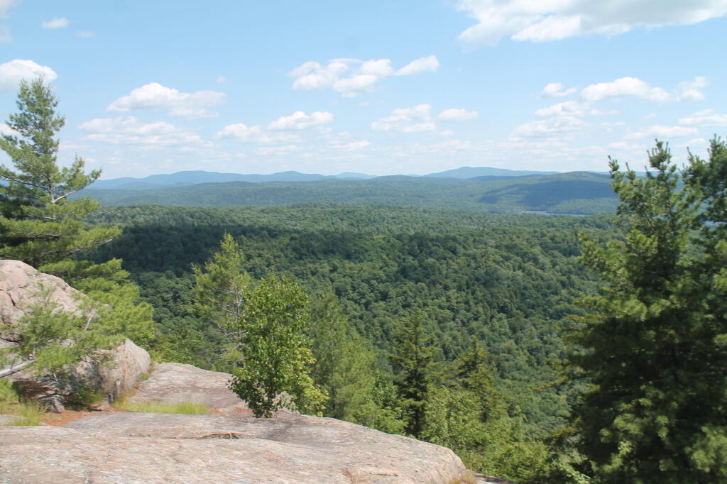
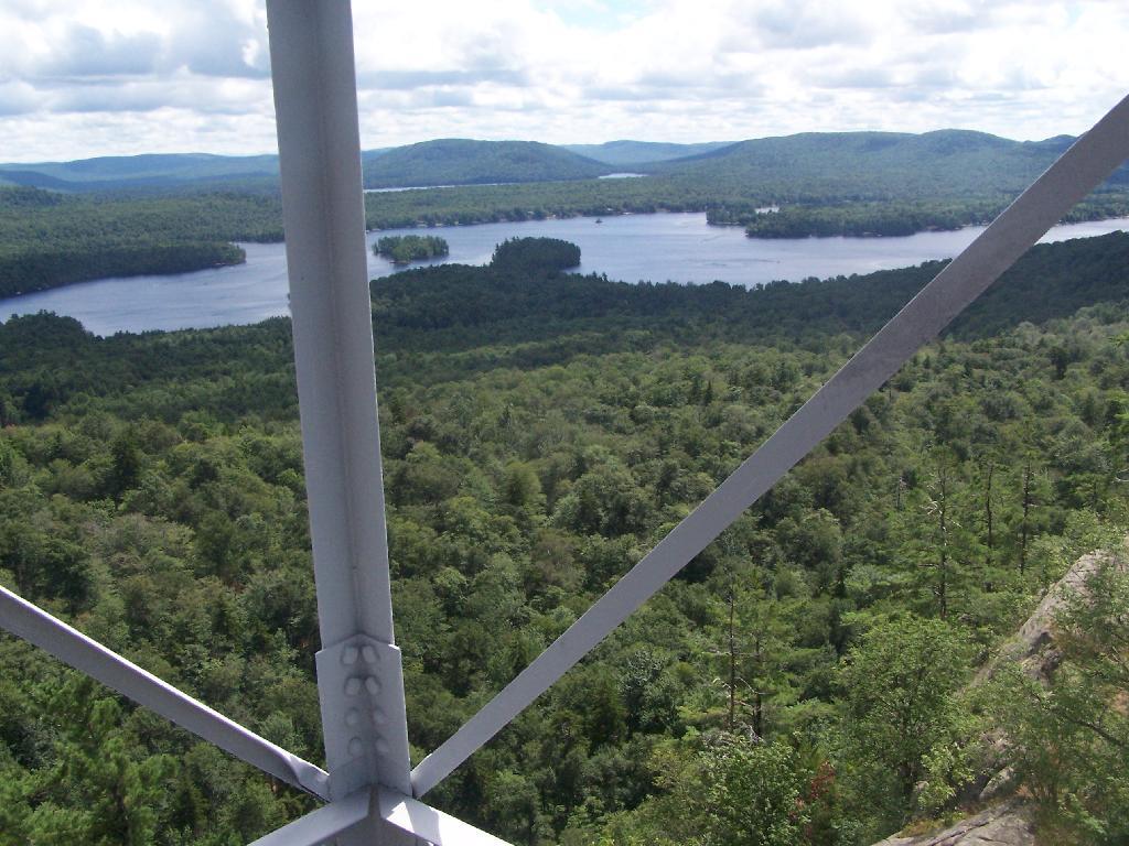
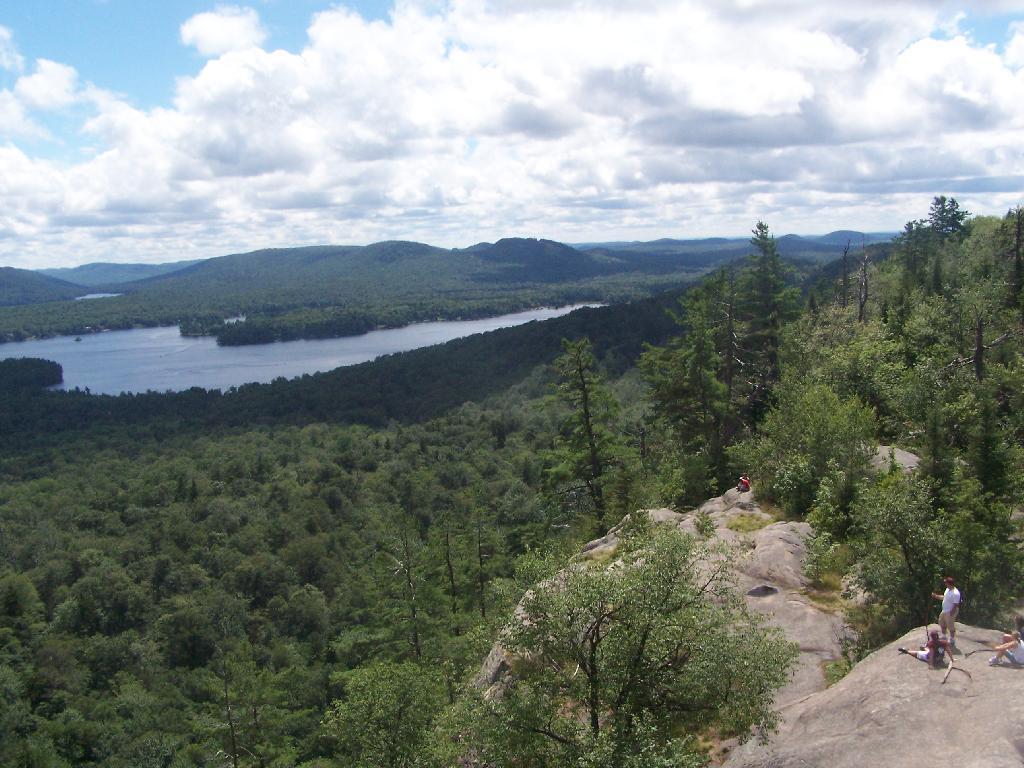
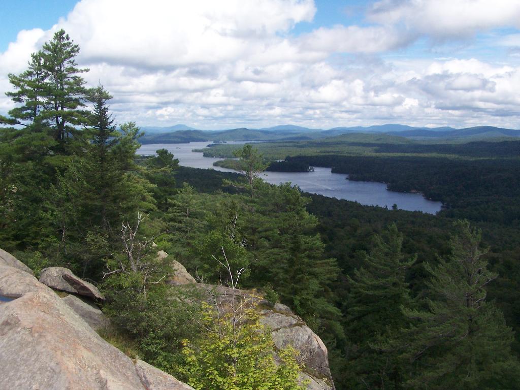
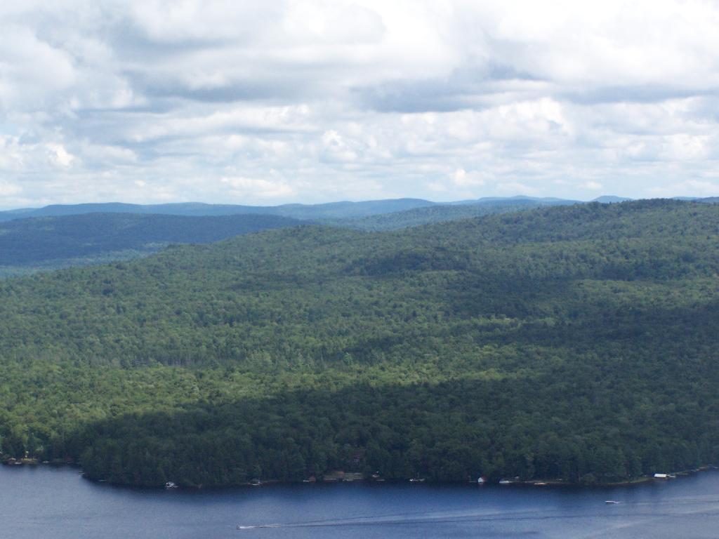
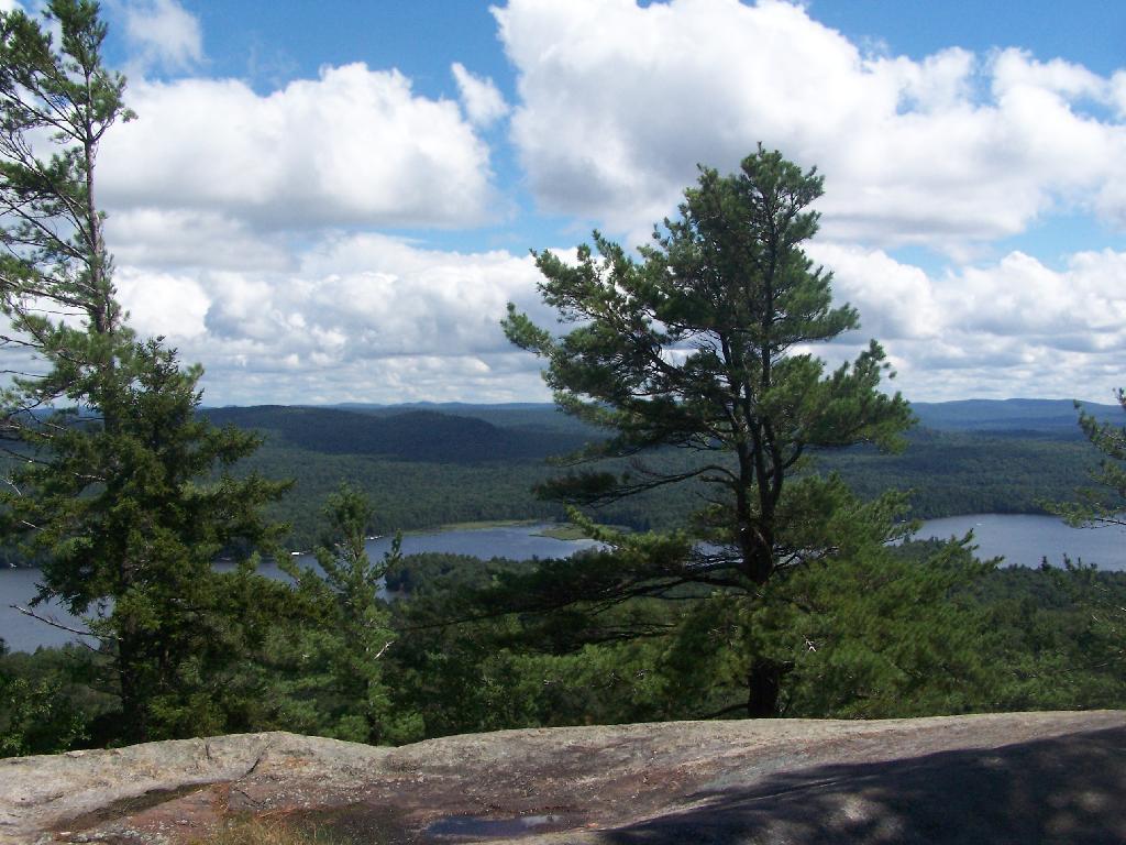
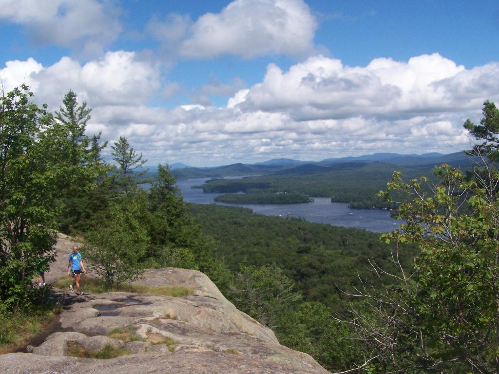
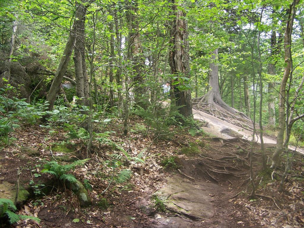
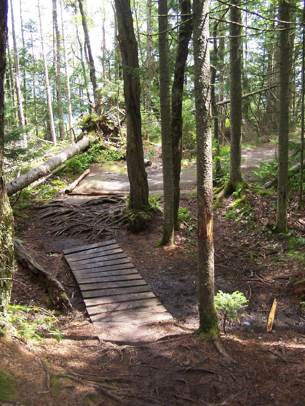
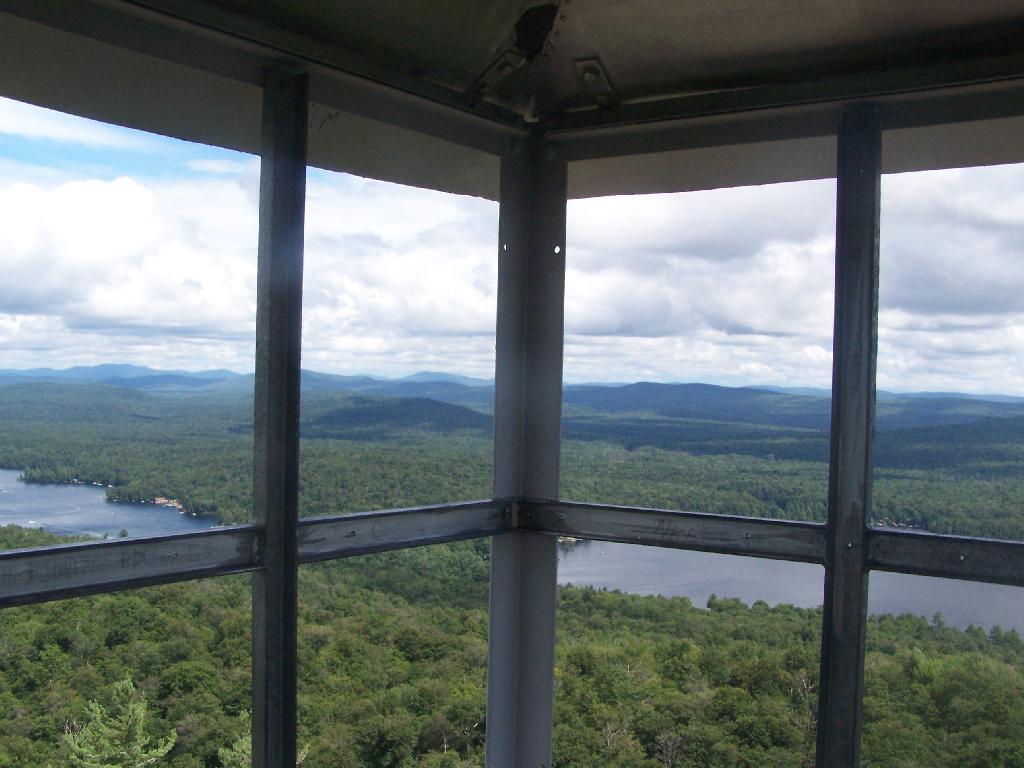
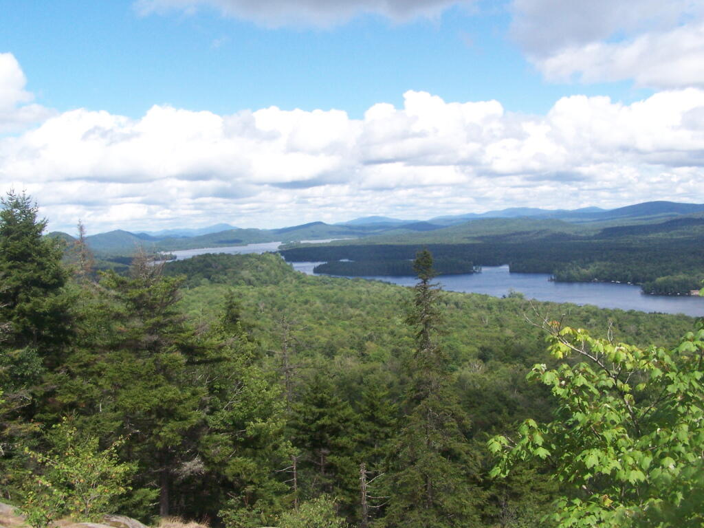
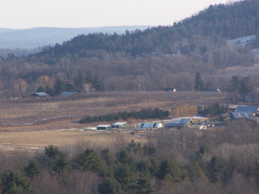
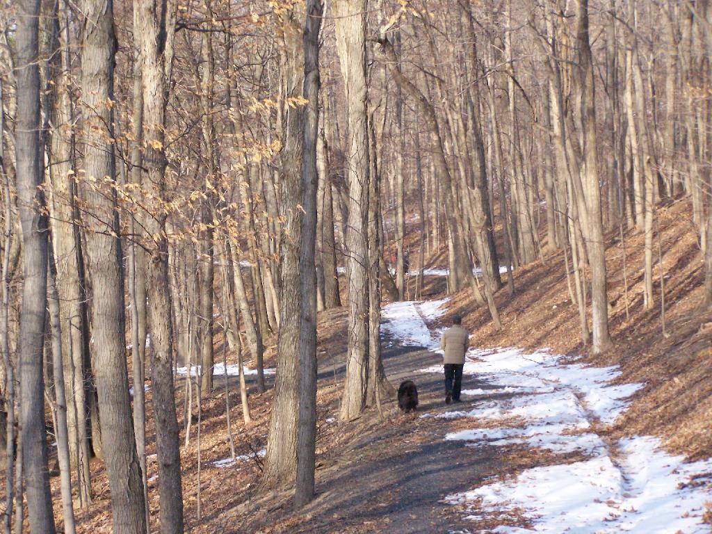
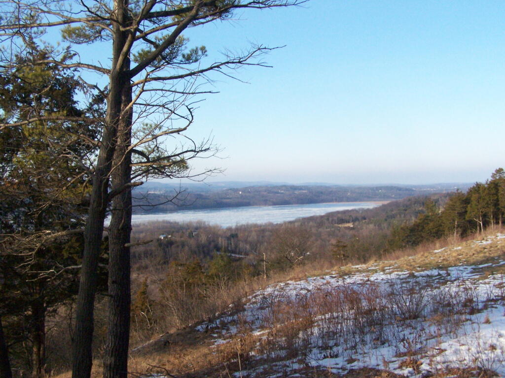
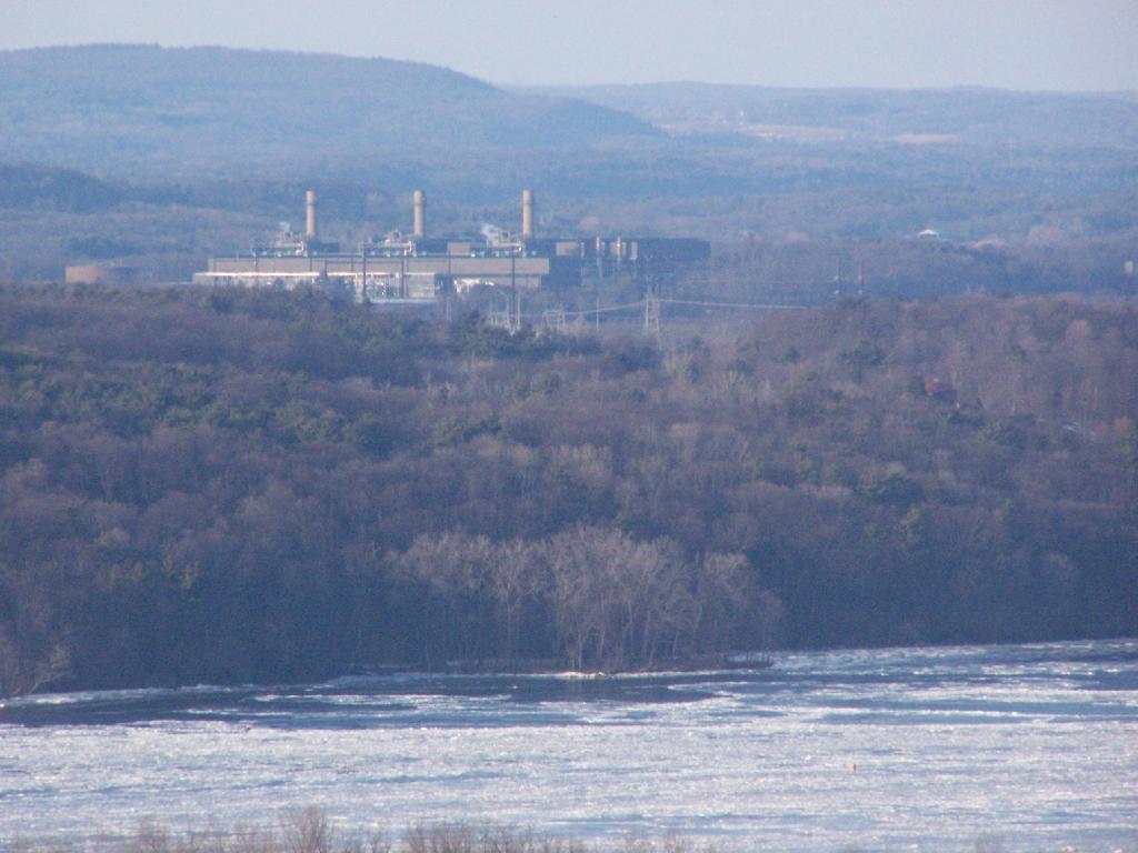
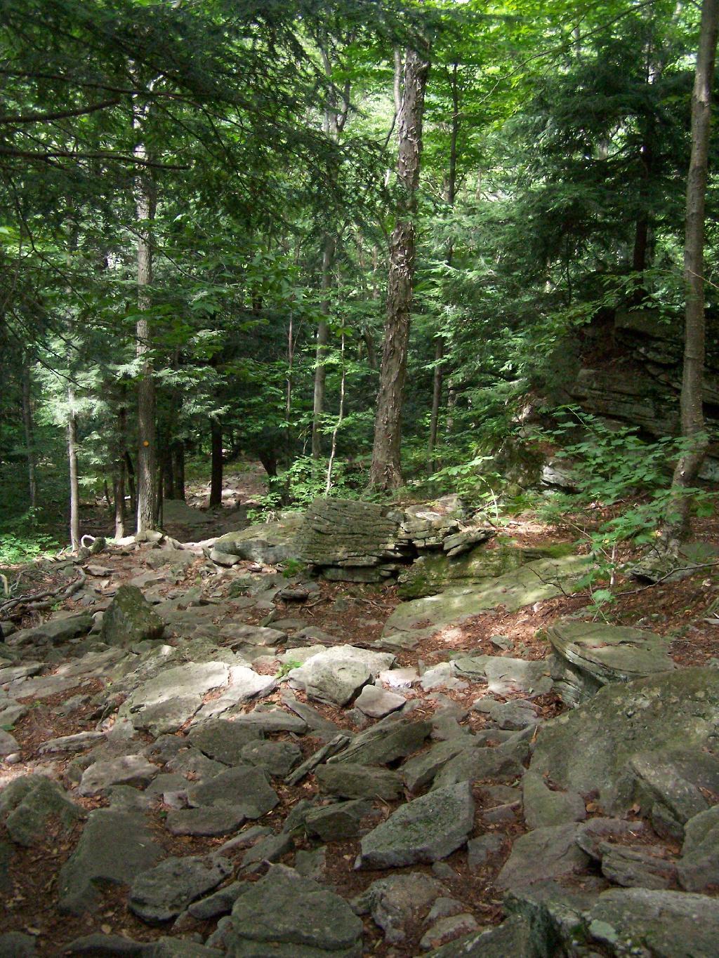
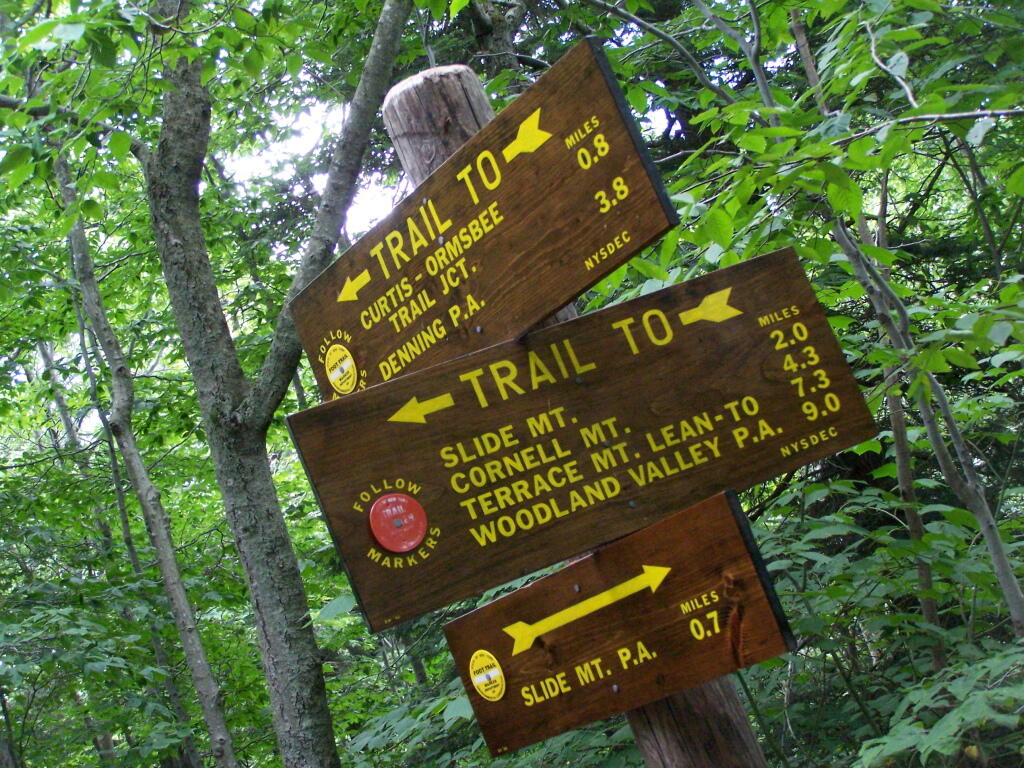
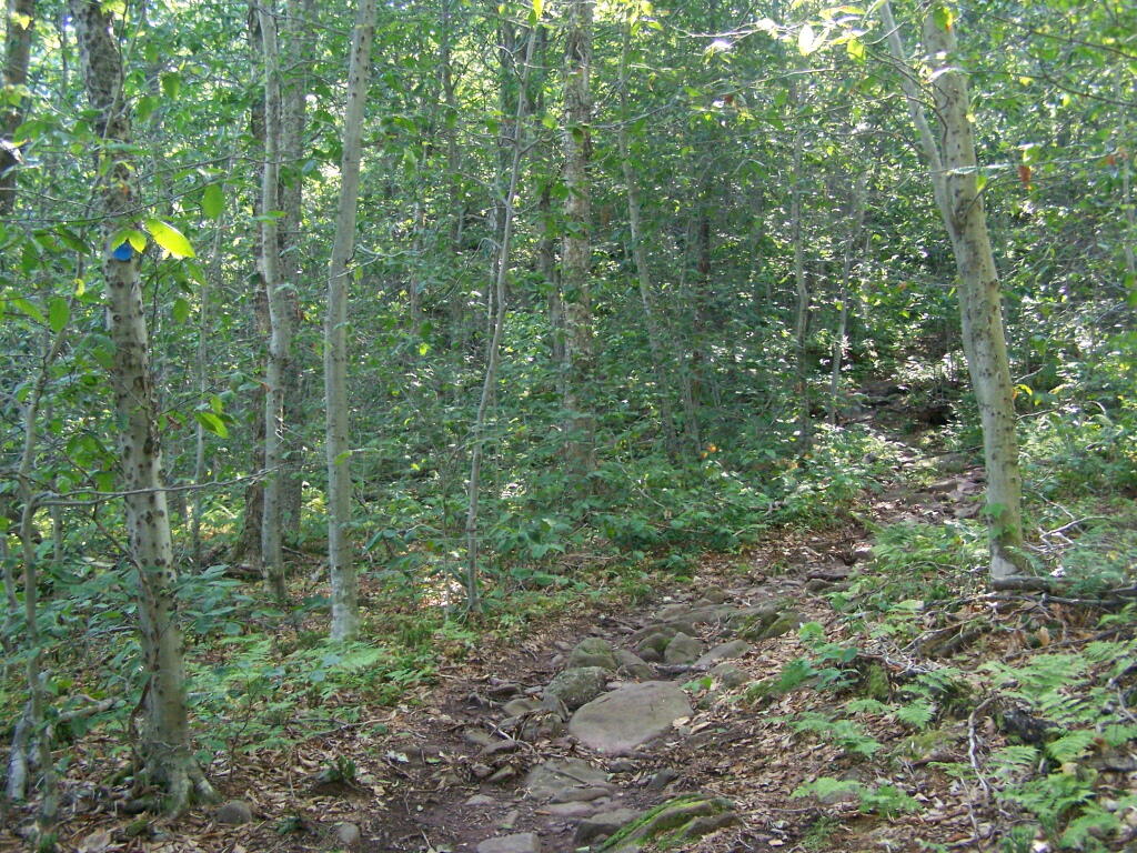
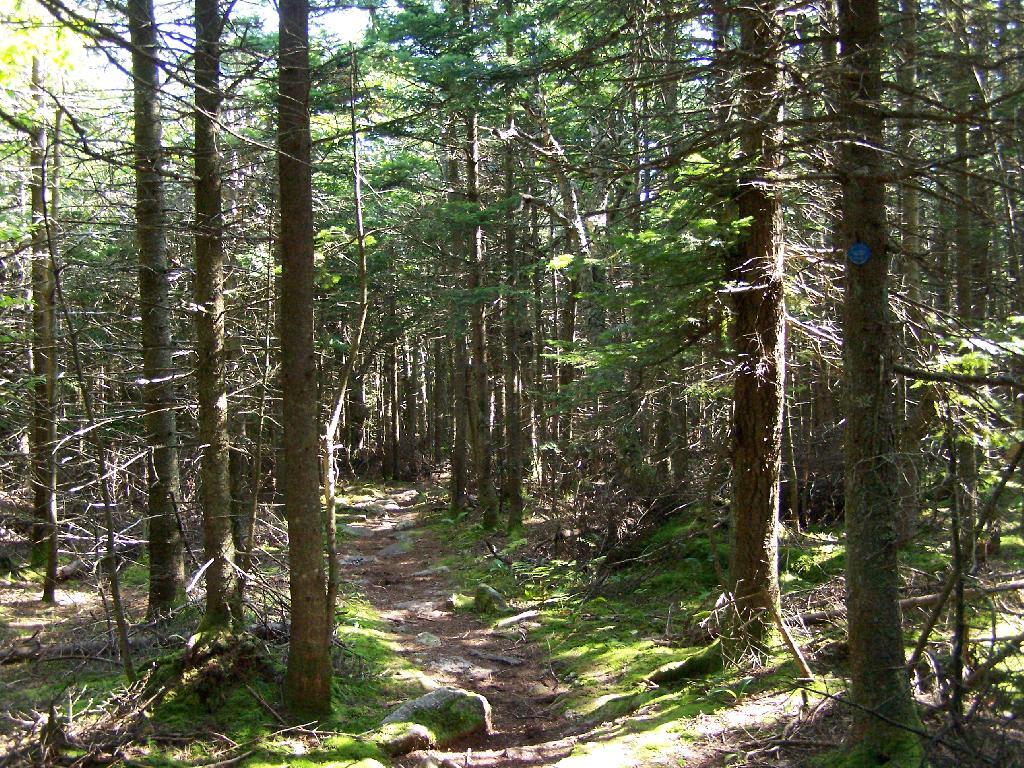
After riding out to Five Rivers Environmental Education Center 🐸 and walking 🚶 around the preserve I spent some time reading 📖 then rode home around 8:30. Even with the new batteries 🔋 I was surprised how dim the lights were on my bike. Maybe I need to think about upgrading them eventually along with adding a better more comfortable seat. But I’m going to wait a while on that I’ve spent enough money and time on the bike for now. If the weather is decent tonight I might pick a different local preserve to visit like Norman’s Kill West or Bender Mellon Preserve. Or maybe I’ll just go for an ordinary walk down to the Elm Ave Park 🏞.

On this day in 1969, Senator Ted Kennedy from Massachusetts drives his car off a bridge and his passenger, Mary Jo Kopechne, dies. 🚘 And in 1984, there were McDonald’s massacre in San Ysidro, California: In a fast-food restaurant, James Oliver Huberty opens fire, killing 21 people and injuring 19 others before being shot dead by police. 🙏 After that, California implemented strict new gun control in that state, and there have been no more mass shootings. 🔫 Aren’t you glad, the liberal agenda has saved the world.

A picture perfect summer weekend on tap. 😎 Saturday, a chance of showers and thunderstorms after 2pm. Mostly sunny, with a high near 81. Chance of precipitation is 40%. Maximum dew point of 65 at 10am. Summer humidity but not oppressively hot and humid, especially out in the mountains. Sunday, mostly sunny, with a high near 82. Maximum dew point of 63 at 7pm. Typical average high for the weekend is 84 degrees.

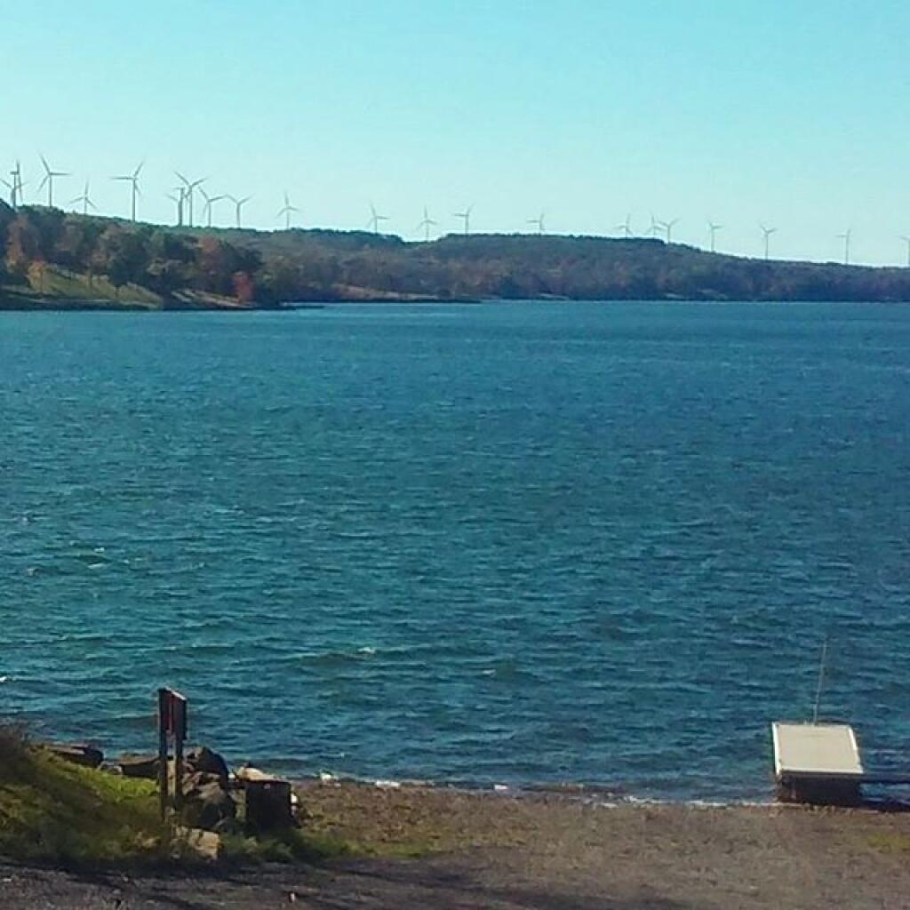
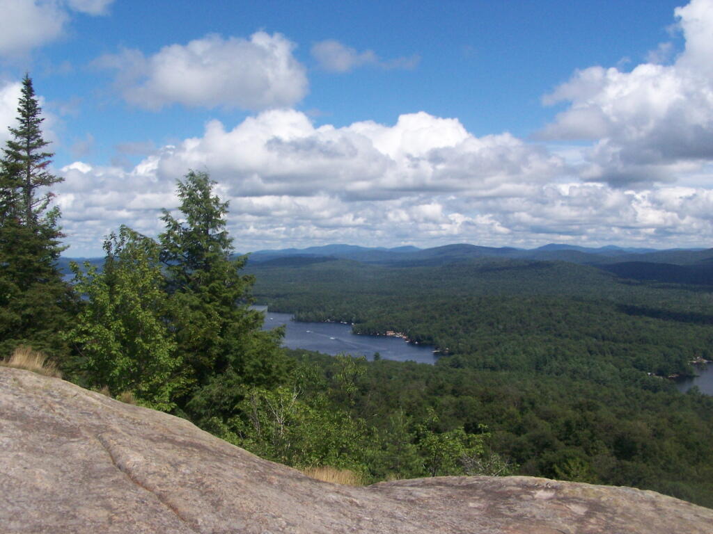
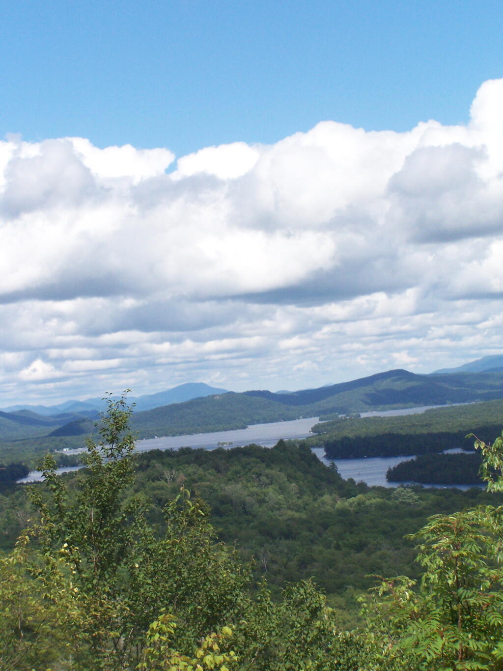
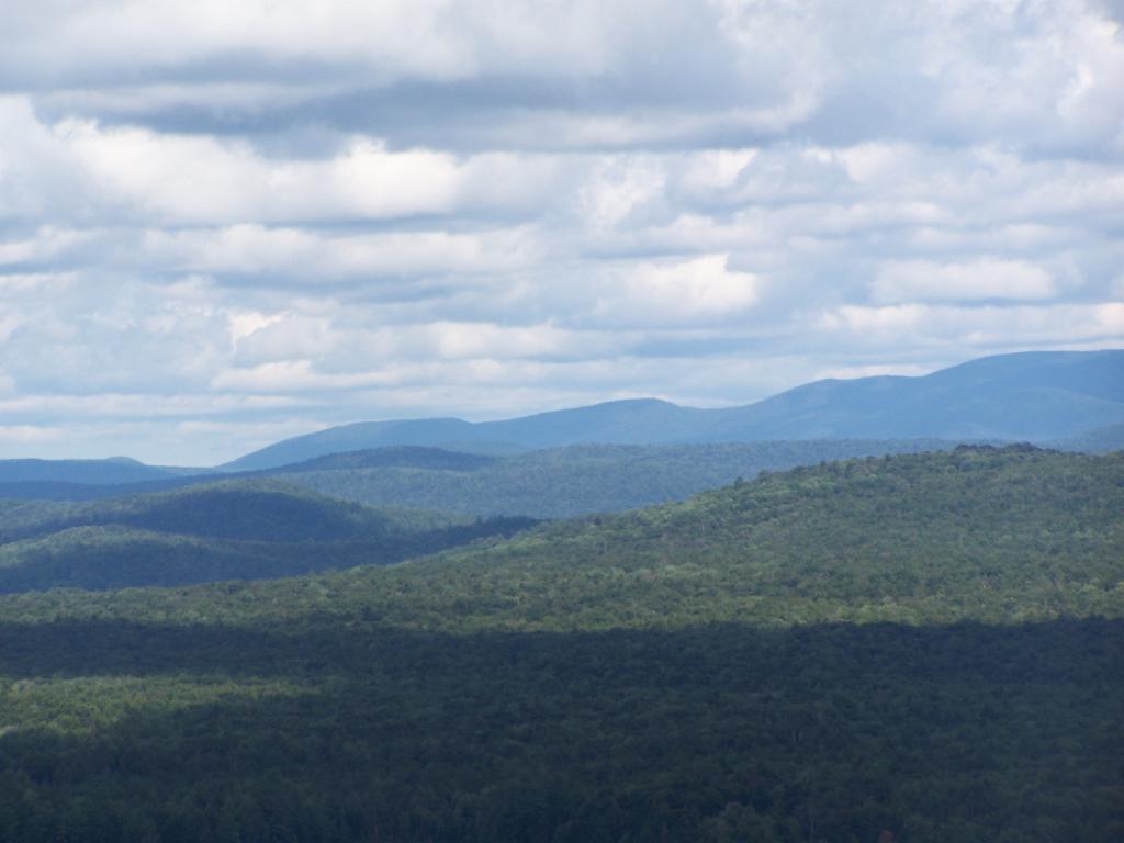
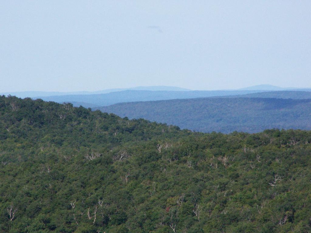
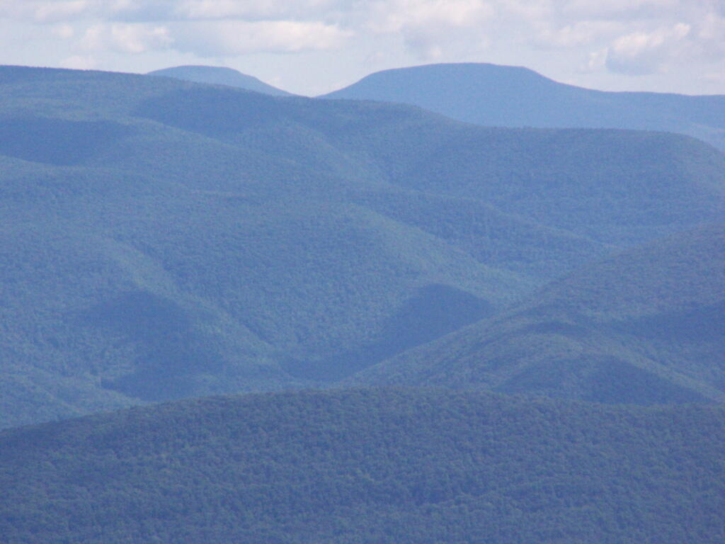
I am pretty sure I’m going to take off Monday and do a three day weekend to swim 🏊‍♂️ at Mine Kill Pool and ride the Catskill Scenic Trail. 🚲 Do some camping 🏕 and get veggies at Shauls. I don’t really need that much time to pack for summer vacation in the Finger Lakes National Forest the following Friday. It’s my best chance to get away in a long time. Who knows what the rest of summer will look like. ☀ That said, I do see the weather pattern improving in the coming weeks. Or so I hope.

Looking ahead, there are 2 weeks until August 🌻 when the sun will be setting at 8:17 pm with dusk at 8:48 pm. On that day in 2022, we had hot, partly sunny and temperatures between 89 and 69 degrees. Typically, the high temperature is 84 degrees. We hit a record high of 101 back in 1933.

Looking East

Corridor H

Driving along Corridor “H” the new limited access highway that runs in the Northern Tier of West Virginia from Davis to Morehead past the strip mined coal fields and the big Storm Mountain Coal-fired Power Plant, I was thinking what a truly nasty way to be making electricity, especially in the 21st century, when much cleaner fuels have long been on the market, and when renewables are a growing part of the electricity industry.

 Coal Strip Mine Along Corridor H

In the early days of the industrial revolution, coal was the only on-demand source of energy that could be used virtually everywhere. You haul coal somewhere, you get coal lit on fire, it burns hot, often with a thick black smoke, boils water into steam which turns a turbine. More advanced controls were invented which got more heat energy turned into steam, captured more of the soot and chemical byproducts of coal, and generally made coal a better fuel. But from a chemical standpoint, coal can not compete with oil or natural gas, which is much easier to burn and control the output of the furnace. As oil and gas have fewer contaminates it can be burned with much fewer pollution controls. Mount Storm is a large coal-fired generating station. It has what appears to be two active units from the two large currently operating smoke stacks, but there may be multiple units attached to one stack. It produces an enormous cloud of water vapor visible from miles around — including from the Dolly Sods Wilderness and most elevated locations within 30 miles. Water vapor is a nice way to put it — the smoke is mostly carbon dioxide and water but it’s mixed with a wide variety of heavy metals, mercury, sulfur dioxide, carbon monoxide, and nitrous oxides. Things that limit the amount of otherwise healthy fish they can safely consume out of streams even far away. It produces a steady output of “base-load” that lights wells over a million households, or a combination of households, factories, and commercial facilities. It’s one of the bigger power plants out there, but certainly not the biggest.

Mount Storm

Mount Storm a big industrial facility with a large cooling reservoir whose warm waters are popular for boating and fishing. The warm cooling water from the plant keeps the lake ice free for much of the year and provides good stable water temperature for fishing. It’s nice that they allow public access to the reservoir, one with impressive views of the plant from the boat launch. That’s great. But what’s no so great is the large open pit mines that surrounded the plant, laid bare for all to see by the construction of the Corridor H Expressway. Mountain top removal, and strip mining turn mountains into mounds that look like garbage dumps. Even “restored” landscapes make mountain look engineered, the hopes of getting new businesses in the area to locate in this remote area are slim — although somewhat improved by Corridor H. For every four tons of coal hauled to the plant, one tons of coal, limestone scrubber residue, and fly ash are landfilled near the plant. The coal fired plant itself is a small part of the landscape compared to the wastes that are disposed of at on-site landfills. You can only see some of the outer walls of the landfills from the WV 94 (the old road) and Corridor H. From satellite pictures you can see much more. Burning coal cuts enormous sections out of mountains, and creates new mountains of ash landfills.

 Coal Mine

Coal haters, myself included, will note that nothing is really clean about coal. Toxic coal air emissions, while a small part of what goes up the smoke stack, are enormous, because so much coal is burned every day, 365 days a year at Mount Storm and thousands of other coal fired plants across the country. The electricity produced lights millions of homes. Not only is mining ugly and restored landscapes are often just a glimmer of the once wild lands, cutting into the earth, especially in places where coal is common, release many toxic compounds.  Coal often is mixed with pyrite, commonly known as fools gold. You might get rich off the coal, but your still a fool. Pyrite when it’s exposed to water and rain releases it’s sulfuric compounds, the same ones that often go up the stack when coal is burned. The sulfuric compounds in pyrite mixed with water produce sulfuric acid mine discharge — sometimes as powerful as car battery acid and poison streams, especially hitting fish who are sensitive to even minor changes to pH levels in stream levels. To say nothing of the removed an rerouted streams, which bring sediment downstream, boost nutrient levels, and otherwise wreck formerly good trout streams. Of course if you read my blog, you probably are aware of all these things. That coal is a lot more evil then just the excess amounts of carbon dioxide it’s bleaching into air forever changing both our local and global climates, acidifying the oceans and lakes, changing the natural rhythms of moth earth. But seeing Mount Storm up close seemed to bring that all back home to me.

Mount Storm Lake

Now I also saw the nice rural houses in the neighborhoods, with the neatly maintained yards, beautiful 3/4 ton pickup trucks, a four wheeler or two, and maybe a horse, and a family cow or a hog. All most certainly paid by the good salaries for the engineers and technical people who use their advanced knowledge to keep Mount Storm humming along. Or they work with heavy equipment in the strip mines and below ground mines to feed the ever hungry coal furnaces at Mount Storm. They are doing what they need to do to feed their family and live the good life. I respect them, I might be even kind of jealous because I’d love to live in rural God’s country like this. West Virginia is a special place. Coal may be dirty and working with it may have life-long consequences, it’s a good source of jobs in these towns that don’t have much else to do — sure there are jobs in timber, road construction, local government, a few other industries, but the area is still incredibly rural, even if Corridor H is making it easier to get around. If Virginia finally agrees to extend Corridor H so it meets up with Interstate 81, this area will become even less remote. But even without the final extension, this superhighway — granted one that has grade intersections is making the whole area much better connected together and accessible. I can’t overstate how much Corridor H changes life in the Northern Tier of West Virginia, compared to the much inferior West Virigina 93.

I think it’s fully reasonable to predict that Corridor H will eventually become an interstate highway, connecting with Interstate 81 heading west from Davis to Interstate 79 outside of Morganstown. Mount Storm will probably eventually close. President Donald Trump may say coal will be great again, but it’s a dying, nasty technology, that is long in the tooth, especially as renewables grow on the grid. Probably many of younger generation will move away, rather then struggle with the hard life of Rural Appalachia. Some people will stay and carry on the values, working in other industries or being part of the growing renewable energy industry. As Mount Storm and the coal industry is in it’s twilight years, making as much of a mess as usual, more and more wind turbines are going up on the remote ridges of the pan handle of West Virginia. Areas mined for coal might still be high enough to site new turbines — to say nothing of solar. People will still hunt deer and bear, raise a hog or beef in their backyard, live the good rural life. Mount Storm and the coal industry may be on it’s last horrific breath, but it doesn’t mean Appalachia and it’s beautiful landscape must come to an end.

 Expressway

Despite all the blasting, the large bridges, and forever changed landscape, I think Corridor H is great. It shows the beauty and ugliness of West Virginia. It will move the whole area forward, make it less remote, and allow it to transition to the industry of tomorrow. The sheer distance from other population centers will limit high-end residential and commercial development, to say nothing of the steep mountains slopes, the rough rocky terrain, even if the distances aren’t as far thanks to the safe, modern road. I think everybody should drive Corridor H at least once.

 Carbon

Rondaxe Firetower

Click below to download or print this map up.

 Ice Sheets

Rondaxe-Bald Mountain Firetower.

Rondaxe-Bald Mountain Firetower

Most of the mountains and pull offs in the Adirondacks are very well signed, complete with brown and yellow DOT reflective signage.

Fourth Lake.

Fourth Lake and Plains Behind

Rondaxe Tower.

Rondaxe Tower

Fourth Lake and Plains Behind.

Fourth Lake and Plains Behind

Before It Cleared Out.

Before It Cleared Out

East from Rondaxe.

East from Rondaxe

North.

North

Popular Tower.

Popular Tower

First Lake.

First Lake

Hikers.

Hikers

Bald Top of Mountain.

Bald Top of Mountain

Corner.

Corner

Looking at First Lake.

Looking at First Lake

Fourth Lake.

Fourth Lake

Ridge.

Ridge

Please Do Vandalize.

Please Do Vandalize

Lakes Along Trail.

Lakes Along Trail

Hikers Enjoy the Purty Lake.

Hikers Enjoy the Purty Lake

Bald Ledge.

Bald Ledge

Clouds and Trees.

Clouds and Trees

Untitled.

Untitled

Hiking Up Bald Mountain.

Hiking Up Bald Mountain

Foot Bridge.

Foot Bridge

Towards Cascade Mountain.

Towards Cascade Mountain

Stormy Clouds.

Stormy Clouds

Renovated Tower Base.

Renovated Tower Base

Tower Windows.

Tower Windows

Fourth and Fifth Lakes.

Fourth and Fifth Lakes

Camping Log

New York Land Cover

January – June 2011.

Roadside: 9, Tent: 1, Leanto: 0 nights …

Date Campsite Where Type Notes
06/19/11 Campsite On Forest Road 70 Near Lye Wilderness Forest Road 70, Green Mountains NF, Kelley Stand, VT Roadside camping (in pickup truck): no charge Hiked towards Big Alder, but couldn’t cross stream. Rainy day, did a little paddling in Powley Place. Nicer day on Memorial Day
06/04/11 Campsite On Back Side of Stockmans Island Stockmans Island, Hudson River State Park, NY Tent camping after paddling in on kayak Put in at Coxscakie Boat Launch, camped on an island in Hudson River.
05/29/11 Powley Place (Campsite 9) Piseco-Powley Road, Ferris Lake Wild Forest, Stratford, NY Roadside camping (in pickup truck): no charge Hiked towards Big Alder, but couldn’t cross stream. Rainy day, did a little paddling in Powley Place. Nicer day on Memorial Day.
05/28/11 Powley Place (Campsite 9) Piseco-Powley Road, Ferris Lake Wild Forest, Stratford, NY Roadside camping (in pickup truck): no charge Rainy day. Hiked around Powley Place.
05/27/11 Powley Place (Campsite 9) Piseco-Powley Road, Ferris Lake Wild Forest, Stratford, NY Roadside camping (in pickup truck): no charge Left work early, drove up there. Nice evening before the rain.
05/21/11 Cheney Pond Cheney Pond, Vanderwhacker Wild Forest, Newcomb, NY Roadside camping (in pickup truck): no charge Explored Vanderwhacker Wild Forest. Kayaked around Cheney Pond couple of times, explored Tawandus Ruins.
05/20/11 Fox Lair Campsite NY Route 8, Wilcox Lake Wild Forest, Bakers Mills, Adirondacks, NY Roadside camping (in pickup truck): no charge Much nicer this time, a little rain, things greened up. Got a little rain, very damp.
04/22/11 Fox Lair Campsite NY Route 8, Wilcox Lake Wild Forest, Bakers Mills, Adirondacks, NY Roadside camping (in pickup truck): no charge Woke up to 3” of cold wet snow and rain, decided to go home and abandon trip.
04/21/11 Gravel Pit Campsite NY Route 8, Wilcox Lake Wild Forest, Griffin, Adirondacks, NY Roadside camping (in pickup truck): no charge Cold morning, trees covered with ice. Hike up around part of 13th Lake near North Creek, NY
04/09/11 Moscow Hill Horse Camp Brookfield State Forest aka Charles Baker State Forest, Brookfield, NY Roadside camping (in pickup truck): no charge One other camper here, no equestrians this time of year. Wanted to camp on Cherry Ridge, however too much snow there.

Getting Out and Stretch

March – December 2010.

Roadside: 28, Tent: 2, Leanto: 1 nights …

Date Campsite Where Type Notes
12/4/10 Old NY 8 Wilcox Lake Wild Forest, Griffin, NY Roadside camping (in pickup truck): no charge Very cold. Ice and snow on truck in morning. Kind of close to NY 8, but all the best campsites taken by hunters.
11/12/10 Lower Assembly Area Sugar Hill State Forest, Watkins Glen, NY Roadside camping (in pickup truck): no charge Woke up surrounded by Horse Trailers and equestrians in morning. Assembly area was closed this time of year, but horse trails still widely used.
11/11/10 Informal campsite on Forest Road 151 Allegheny National Forest, Near Sayre, PA Roadside camping (in pickup truck): no charge Second night at Allegheny National Forest. I liked the site I stayed in the previous day a lot, and the days where too short (sunset at 4:45 PM), so no time to waste searching for a site.
11/10/10 Informal campsite on Forest Road 151 Allegheny National Forest, Near Bradford, PA Roadside camping (in pickup truck): no charge Many sites in Allegheny National Forest. This one I particularly liked, so I decided to stay there.
11/09/10 Aspah Run Camping Area Aspah, near Wellsboro, PA Roadside camping (in pickup truck): paid primitive area Decided due to a lack of a time due to early sunset, would have done roadside/back country camping, but for $10, and being alone, it was fine.
11/08/10 Aspah Run Camping Area Aspah, near Wellsboro, PA Roadside camping (in pickup truck): paid primitive area Camped here, because I didn’t want to camp back country, and didn’t know the area well enough.
11/07/10 Lower Assembly Area Sugar Hill State Forest, Watkins Glen, NY Roadside camping (in pickup truck): no charge Originally wanted to camp at Birds Eye Lake or something like that, but the map I had got me lost, and I couldn’t find the road campsite up there.
11/06/10 Campsite 7 Stoney Pond State Forest, Madison, NY Roadside camping (in pickup truck): no charge Frost/ice on puddles in morning. Some snow in some places.
09/05/10 Campsite 56 Moose River Plains, Inlet, Adirondacks, NY Roadside camping (in pickup truck): no charge Rain showers, enjoyed staying in a very private and quite campsite up in the sandy plains.
09/04/10 Campsite 56 Moose River Plains, Inlet, Adirondacks, NY Roadside camping (in pickup truck): no charge Hiked to Mitchells Pond. More rain. It was kind of wet and cold.
09/03/10 Campsite 56 Moose River Plains, Inlet, Adirondacks, NY Roadside camping (in pickup truck): no charge Kind of wet and rainy, hung out in camp, did a little exploring of the plains. Also, paddled in Cedar River Flow for a while. Enjoyed the very private drive in site here.
09/02/10 Campsite 2 Moose River Plains, Inlet, Adirondacks, NY Roadside camping (in pickup truck): no charge I left work at 5 PM…. but with traffic, and wanting to get a pizza to eat on the way up, didn’t get to Moose River Plains until after 9 PM. Very dark, very tired, just wanted a place to collapse.
08/28/10 An Designated Campsite Big Pond, near Margretville, NY Kayak in Primitive Campsite: no charge Did a little hiking an exploring around Ashfield Pinnacle, then drove south to Big Pond. Lantern did not work, a very dark night.
08/27/10 Betty Brook Campsite Burnt-Rossman Hill State Forest, Schoharie, NY Roadside camping (in pickup truck): no charge Nice night after work…. drove around Mallet Pond State Forest, looking for campsites and interesting places to explore.
08/14/10 Mountain Pond Campsite 4 Mountain Pond, Paul Smiths, NY Roadside camping (in pickup truck): no charge Last day of NY 30 Kayak vacation. Mountain Pon was nice, very remote, just off of NY 30.
08/13/10 Floodwood Road Campsite 3 Floodwood Road, Fish Creek Ponds, NY Roadside camping (in pickup truck): no charge Crowded, stayed down by Poliwog Pond… wouldn’t go there again.
08/12/10 Horseshoe Lake Campsite 8 (about a ½ mile from lake) NY 421, Horseshoe Lake, NY Roadside camping (in pickup truck): no charge Couldn’t get a site right on Horseshoe Lake. Discovered Lows Lake – amazing.
08/11/10 Wakely Pond Campsite 7 Moose River Plains, Inlet, Adirondacks, NY Roadside camping (in pickup truck): no charge Wanted to paddle Cedar River Flow and enjoy camping up near water …
08/10/10 Undesigned Campsite, west side of road Mason Lake, Spectulator, NY Roadside camping (in pickup truck): no charge First day of kayak vacation, as I drove up from work, decided to go somewheres not too far away …
07/31/10 Undesigned Campsite, west side of road Mason Lake, Spectulator, NY Roadside camping (in pickup truck): no charge Hiked to Pillsbury Mountain Firetower, then camped down at Mason Lake.
07/18/10 Otter Brook Campsite (MRP Number 110) Moose River Plains, Inlet, Adirondacks, NY Roadside camping (in pickup truck): no charge Camped by the Otter Brook Bridge, at a rather large campsite. Not my favorite campsite, and it poured out.
07/17/10 Wakely Pond Campsite 8 Moose River Plains, Inlet, Adirondacks, NY Roadside camping (in pickup truck): no charge Camped down by Cedar River Flow, in a drive in site, a short way from the Flow, but also pretty private.
07/16/10 Wakely Pond Campsite 8 Moose River Plains, Inlet, Adirondacks, NY Roadside camping (in pickup truck): no charge Camped down by Cedar River Flow, in a drive in site, a short way from the Flow, but also pretty private.
07/15/10 Wakely Pond Campsite 8 Moose River Plains, Inlet, Adirondacks, NY Roadside camping (in pickup truck): no charge Camped down by Cedar River Flow, in a drive in site, a short way from the Flow, but also pretty private.
06/27/10 Balsam Swamp Camping Area Site 3 Balsam Pond, East East Pharsalia, NY Roadside camping (in pickup truck): no charge Came back to here, after exploring Labrador Hollow.
06/26/10 Balsam Swamp Camping Area Site 3 Balsam Pond, East East Pharsalia, NY Roadside camping (in pickup truck): no charge Stop over between Burnt-Rossman and Labrador Hollow. Liked camping here in the past.
06/25/10 Duck Pond Campsite Burnt-Rossman Hill State Forest, Summit, NY Roadside camping (in pickup truck): no charge Camped up a Duck Pond for a change, after driving out here after work.
06/05/10 Leonard Hill Informal Overlook and Campsite Leonard Hill, Broome Center, NY Roadside camping (in pickup truck): no charge Camped up by the Firetower at an informal campsite, watched sun set, weather turned to rain by morning …
06/04/10 Betty Brook Campsite Burnt-Rossman Hill State Forest, Schoharie, NY Roadside camping (in pickup truck): no charge Camped at Betty Brook, very humid, drove down to Utsaythana Firetower.
05/15/10 Alder Pond Campsite 2 Alder Pond, Balsam Lake Wild Forest, Margretville, NY Tent campsite…. short backpack in: no charge Camped at one of the campsites around Alder Pond.
04/03/10 Betty Brook Campsite Burnt-Rossman Hill State Forest, Schoharie, NY Roadside camping, in a tent Didn’t have the cap on my truck yet, but wanted to roadside camp.
03/21/10 Cotton Hill Lean To Cotton Hill, Middleburgh Short backpack into a leanto There was about a foot of snow up by Cotton Hill Leanto on first day of spring, but due to abnormally warm weather, wasn’t all that cold until late into the night.

Campsite

August – October 2009.

Roadside: 3, Tent: 0, Leanto: 0 (thru August 2009) …

Date Campsite Where Type Notes
10/11/09 Betty Brook Campsite Burnt-Rossman Hill State Forest, Schoharie, NY Roadside camping (in pickup truck): no charge First really cold evening of the year, very much fall like. I didn’t bring my warm coat with me.
10/10/09 Betty Brook Campsite Burnt-Rossman Hill State Forest, Schoharie, NY Roadside camping (in pickup truck): no charge Fairly cold night, but not as bad as one might have thought. On way out, stopped at Leonard Hill to take some pictures.
08/08/09 Betty Brook – informal campsite along road Burnt-Rossman Hill State Forest, Schoharie, NY Roadside camping (in pickup truck): no charge After hiking Slide Mountain and Balsam Lake Firetower. Dead tired …

Olana

I have driven past Olana a dozen or so times. I last went up to Olana as a young child. I had read about it on Facebook, and knew it was free to wander the grounds from October 15th through May 15th. Driving by it I decided to go for a little stroll.

It is a truly delightful experience from the drive up on the twisty one-lane entrance and exit roads, and remarkable views all the way up. The road is paved, but is bumpy asphalt, so you will want to ease your way on up it.

Unemployment Rate, December 2021

Walking down the great lawn to south of Olana, looking at the views from the west of the Olana. A mountain.

Birds

A small farm and orchard in the distance between NY 23 and US 9.

Small Farm

A person walks along the mid-parameter path.

Walking A Dog

Olana Tower from the mid-parameter path.

Tower

The Hudson River looking North.

Valley

The Athens Natural Gas Power Plant.

Athens Generating Plant

The Rip Van Winkle Bridge.

Rip Van Winkle Bridge

Walking along a clearing along the path.

Wood energy consumed by the residential sector, New York

The Catskill Mountains in the distance, with the Hudson River in the foreground.

Catskills

On a section of Olana overlooking Hudson they are clearing out the area to provide better views of the surrounding trails.

Median Year of Building Construction - Delmar


View Hikes of 2010 in a larger map

Slide Mountain

I decided it was a nice day out, and I wanted to be able to say I had gone up to the tallest peak in the Catskills, at 4,180 feet. According to Wikipedia, it may actually be somewhat taller then that (as much as 4,200 feet), but they’ve never done a bench mark on the top of it.

The first part of the trail is fairly steep.

Continuing Downhill

It climbs up to an old woods road, that is an easy walk and relatively flat, as it goes up to the Curtis-Olsbee Trail. You see the split between the old Jeep trail up Slide Mountain, and the the trail to Curstis-Olsmbee.

Slide Mountain Options

The trail crosses a high footbridge, without rails. It once was a full-size bridge for vechicles, but no more.

Foot Bridge

Reaching a historic marker of Curtis-Olmsbee Trail.

Curtis-Olmsbee Winds Uphill Slowly

You climb, and then there are some places with views to South and West as you continue along. A few moderately steep places, but overall the trail is not super-steep.

Views to the South

The trail once you reach the first couple of views, remains relatively flat as you wander past several swamps and borreal forests.

Borreal Forest

When you reach almost the top there is a point where you can see almost 70 named peaks.

Trees and Mountains

Enjoying the mountains.

Texature

The top of the mountain is John Broughs Point. It has some interesting, partial views to the north and east.

Pinnacle of Slide

Remembering John Bouroughs

The Ashokan Reservior from Slide Mountain.

Asokahan Reservoir

An established, primative campsite about 3/4 the way down the mountain or one mile from the Slide Mountain Parking Area.

Camp Over This Way

Campsite

By the time I left, the parking lot was packed.

Packed Parking Lot at Noontime

Here is a map of the route I took.


View Hikes of 2009 in a larger map