Search Results for: photo steep portion of trail

Thomas Cole Mountain

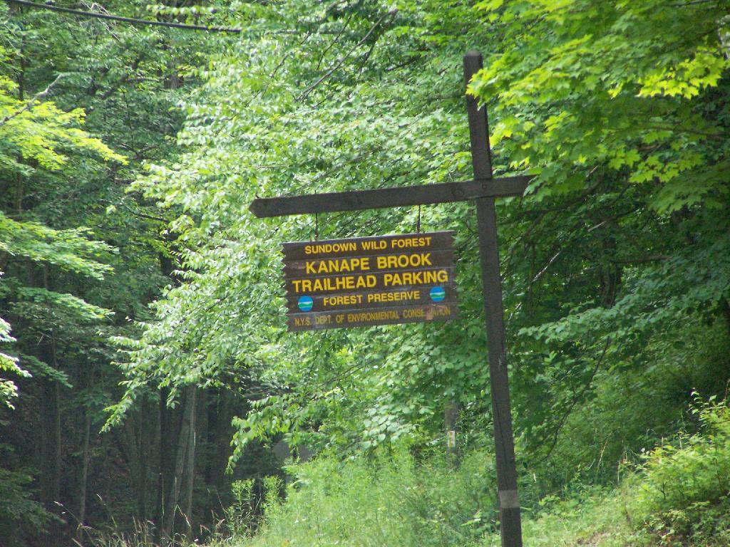
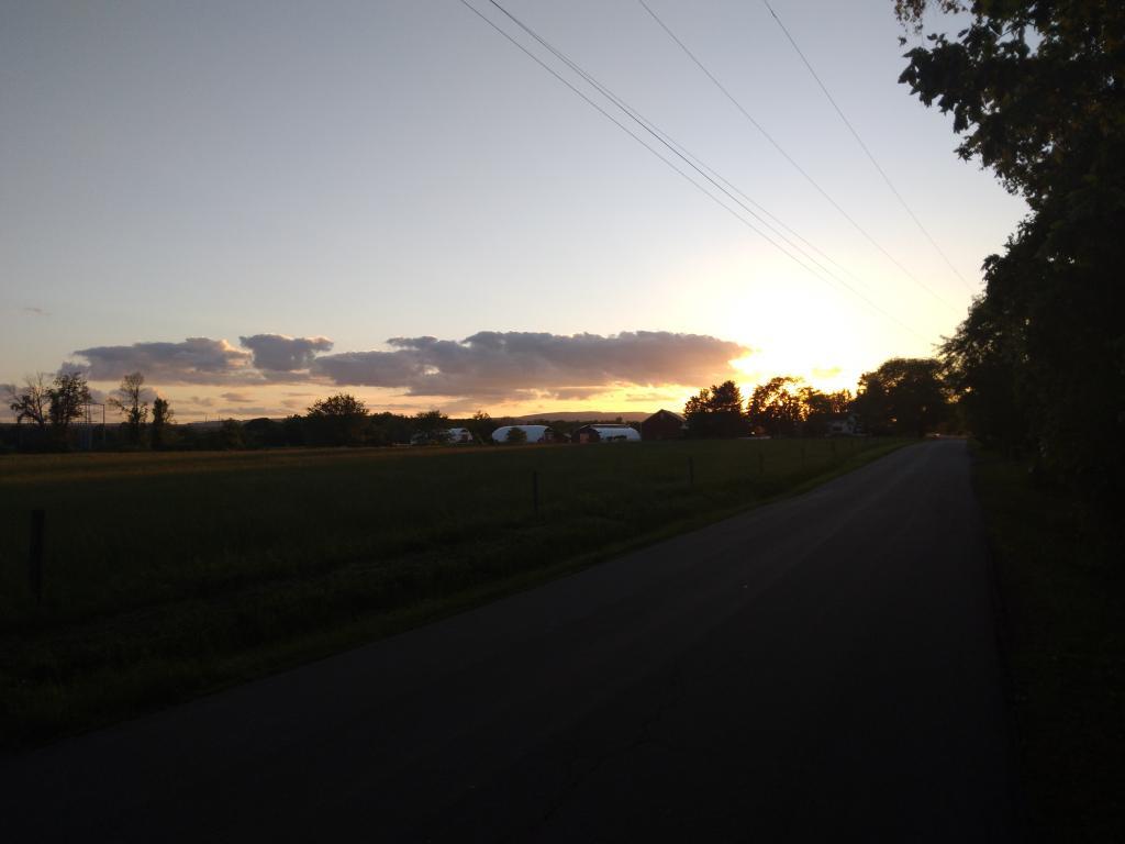
Two weekends ago I went out hiking on a portion of the Blackhead Range, known for it’s Rooster Comb that it visible from most of the Catskills and Albany. Heading down there, I missed the turn-off to Barnum Road, which is a side road marked with a “Forest Preserve Access” sign from County Route 40, just as you head south out of Maplecrest.

Finally Found the Trailhead

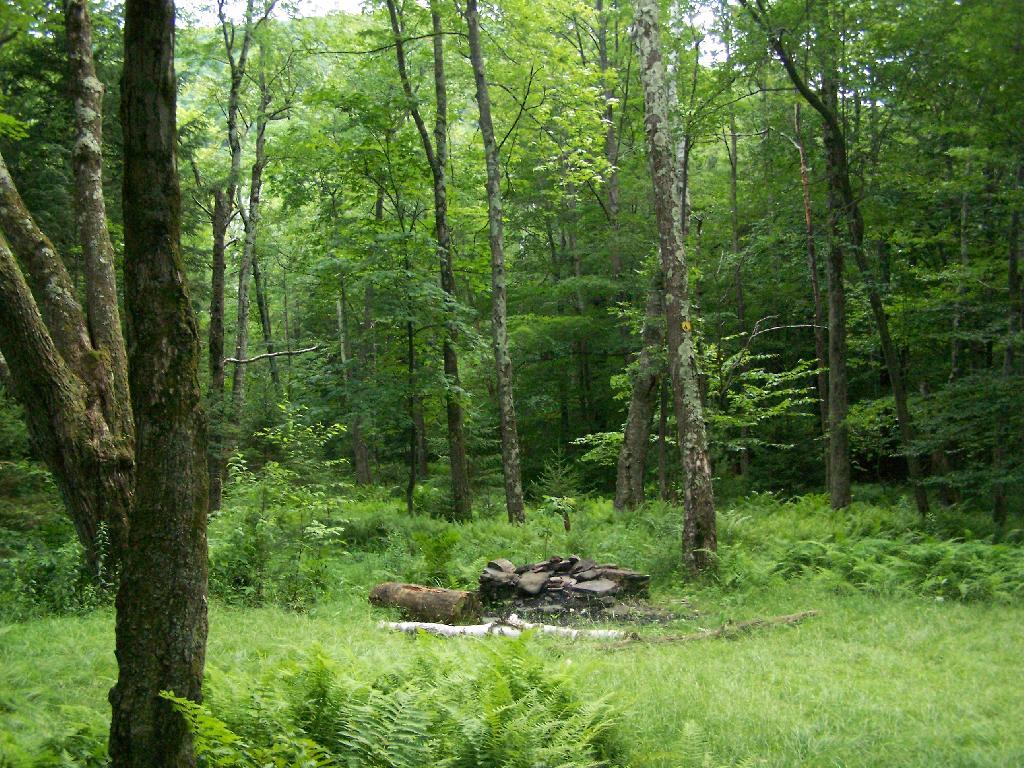
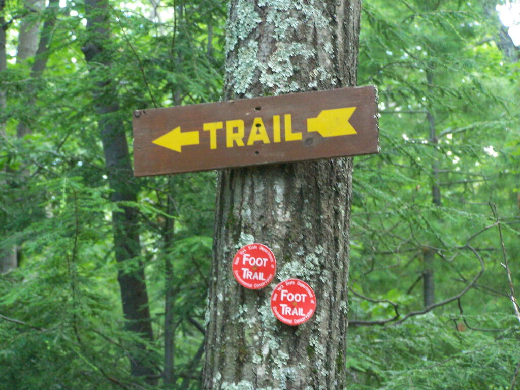
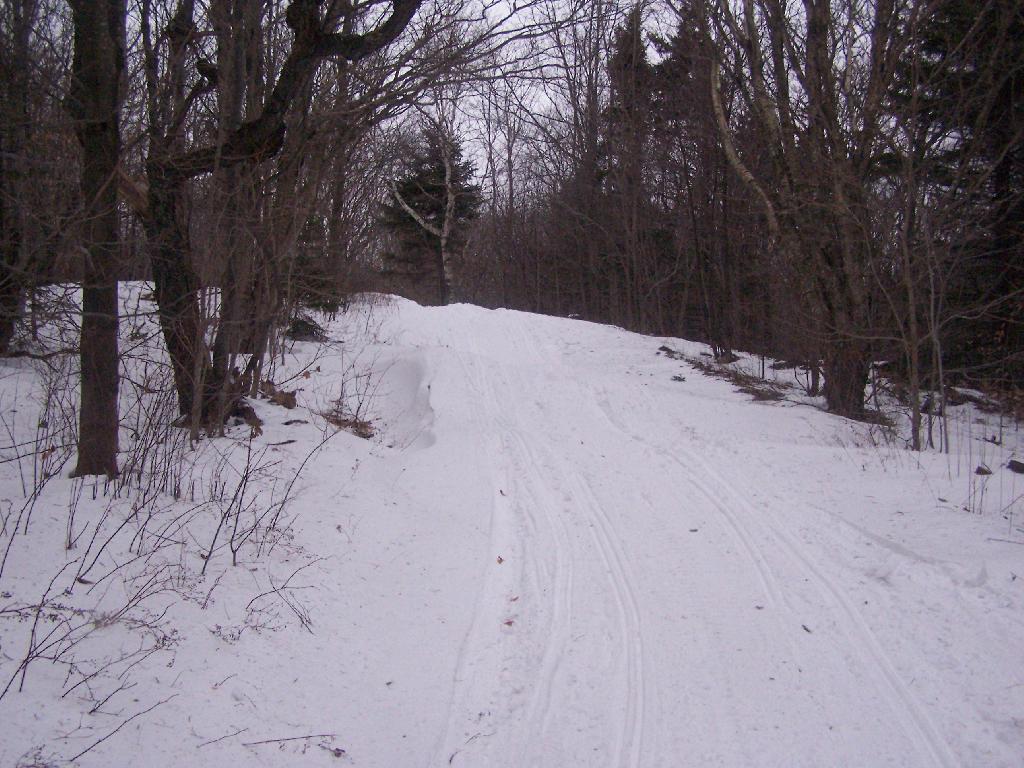
The first part of the trail follows the right of way of the Old Barnum Road, until you access the Blackhead mountain Wilderness, and the kiosk welcoming you to the trail.

Old Woods Road

JD Vance - Ohio US Senate GOP Primary

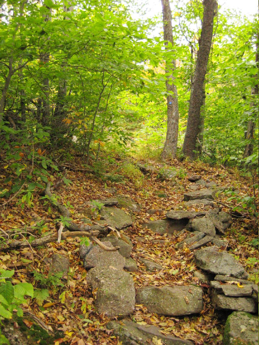
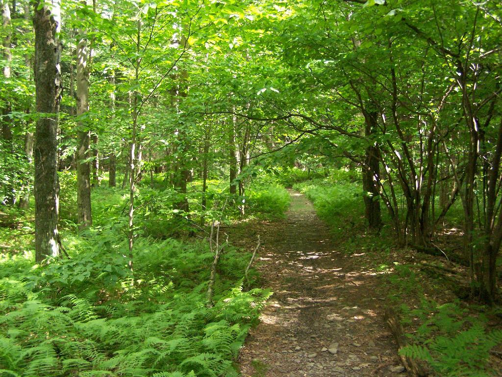
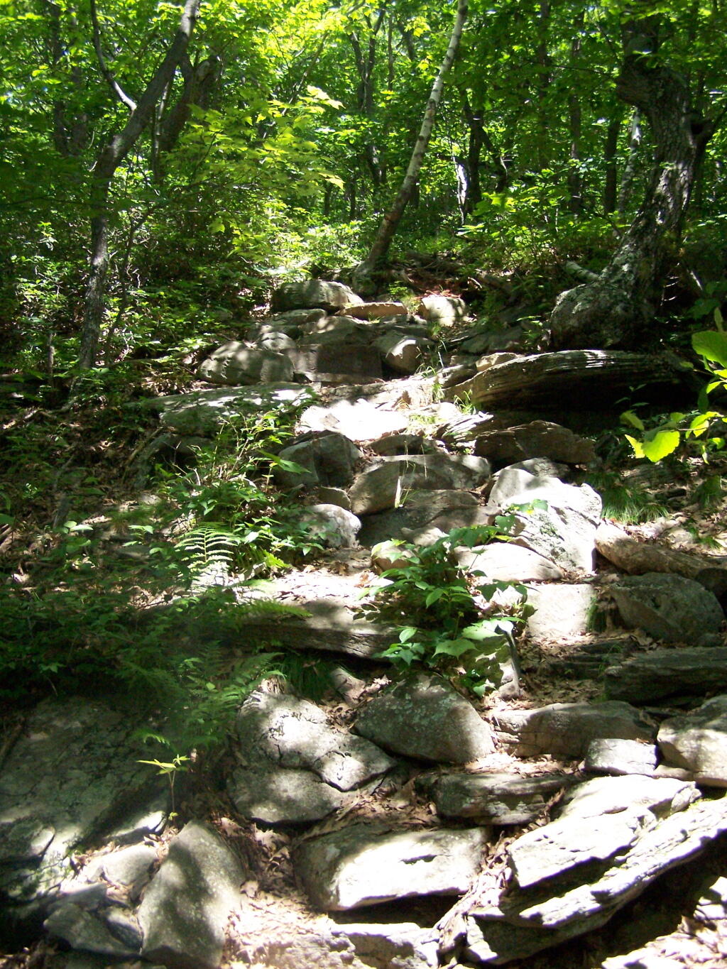
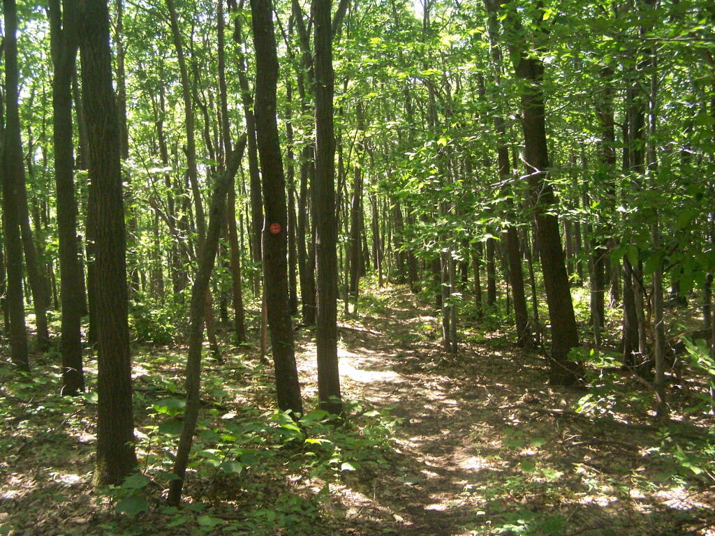
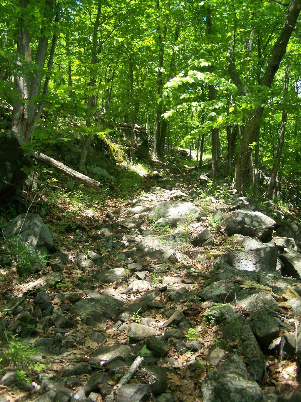
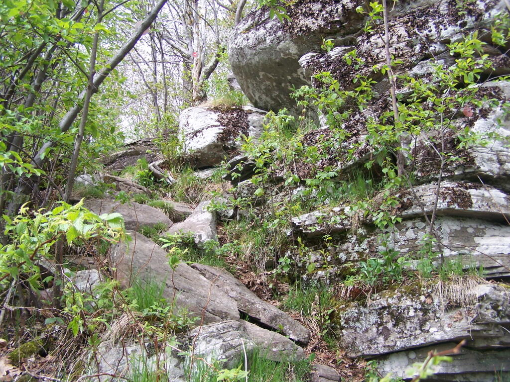
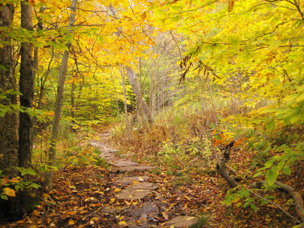
The trail up the mountain starts out gentle, then follows a series of switchbacks.

One of Many Switchbacks on Trail

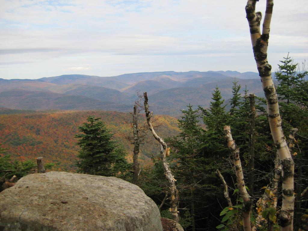
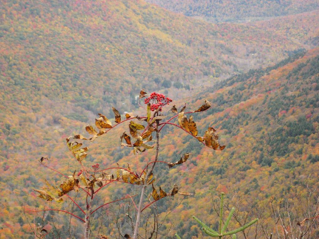
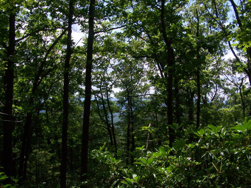
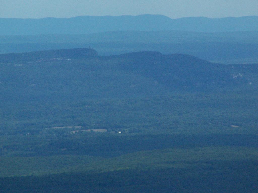
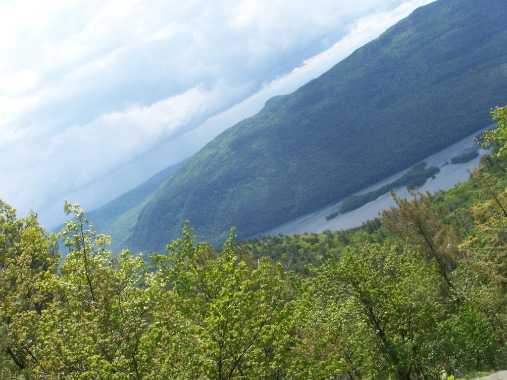
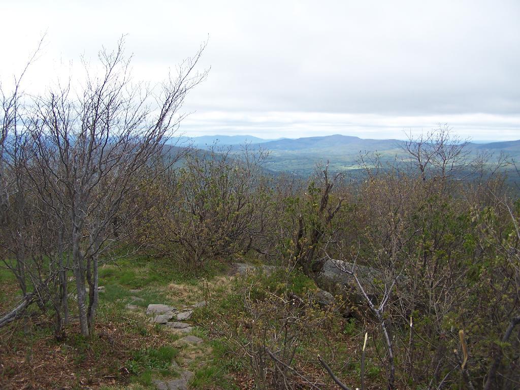
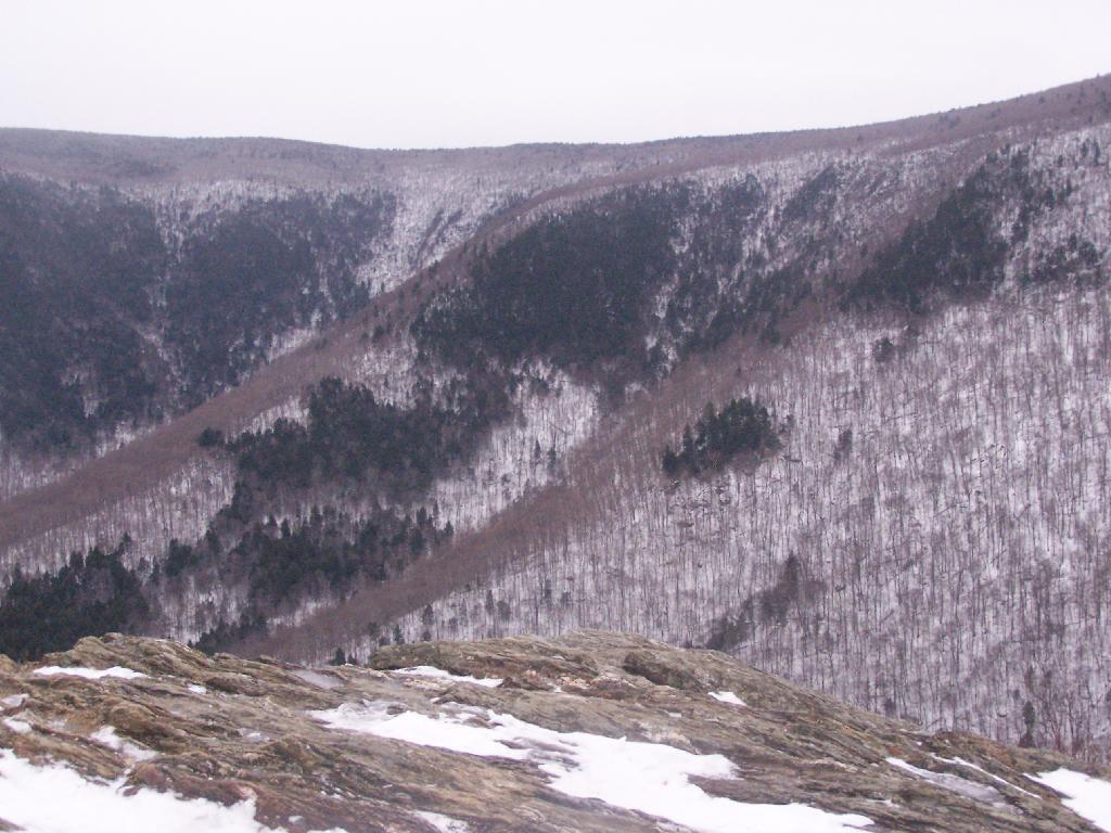
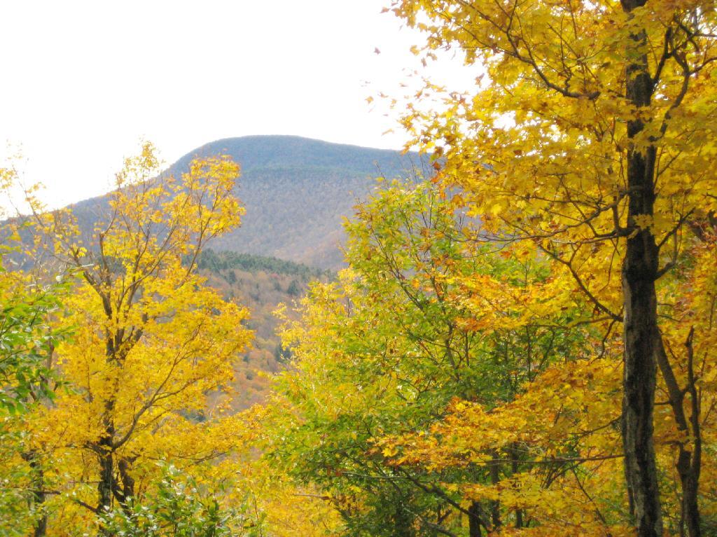
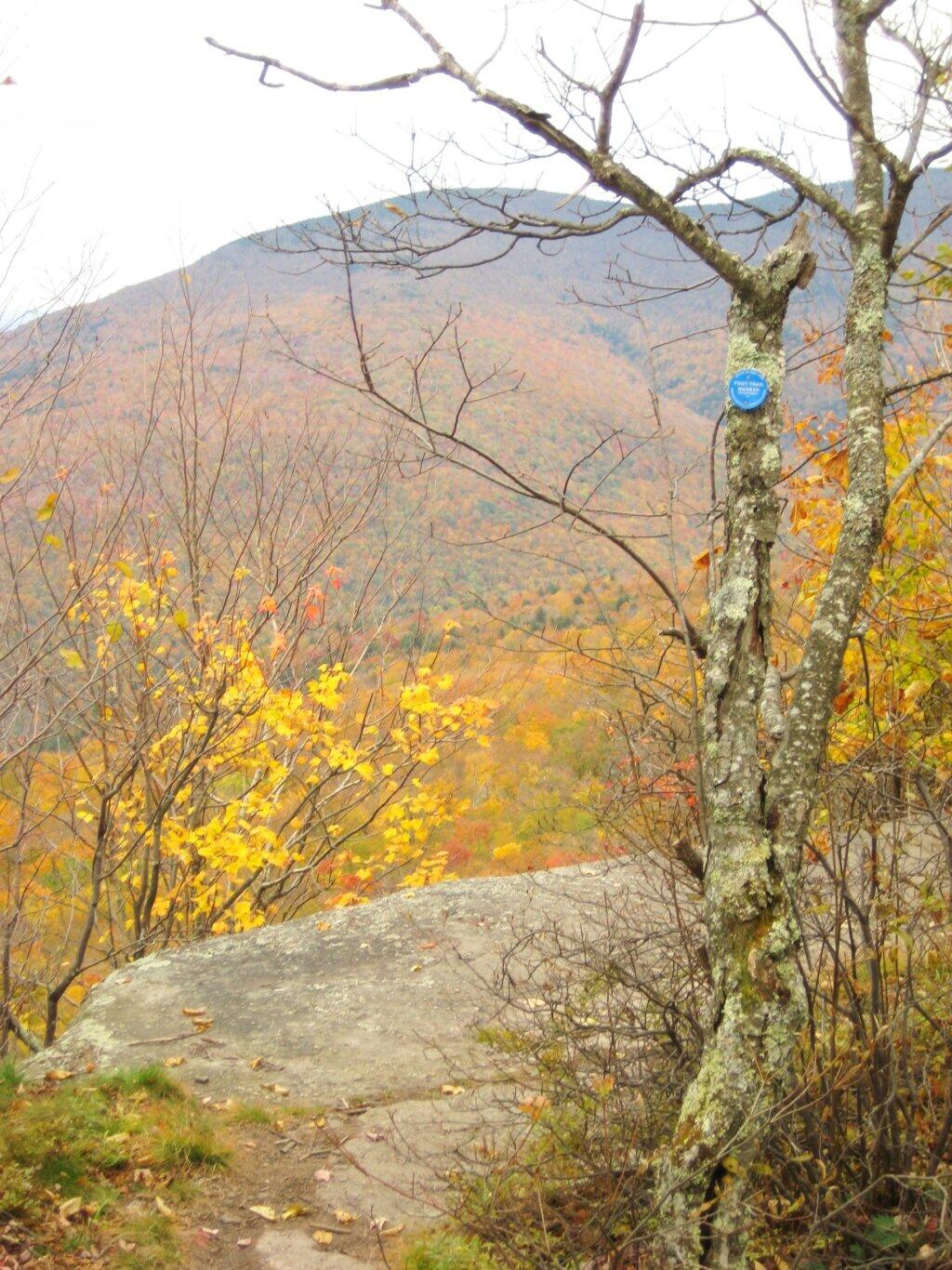
Then there is one steep portion, with some beautiful broken views of the East Kill Valley.

One Step Part of the Trail

Catskill Mountain Valley

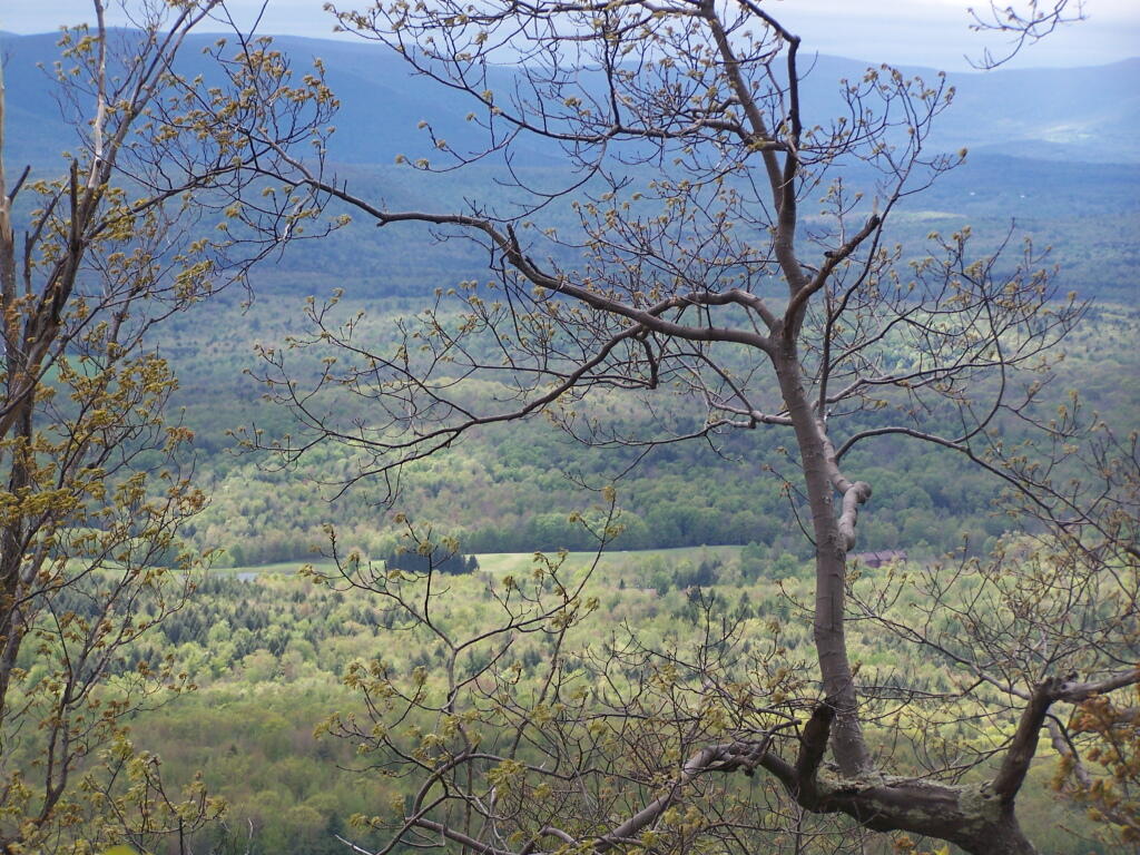
And of Devil’s Clove.

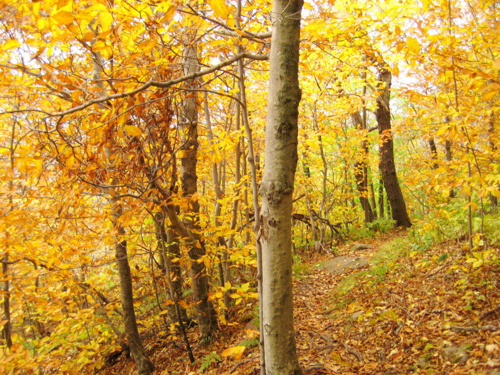
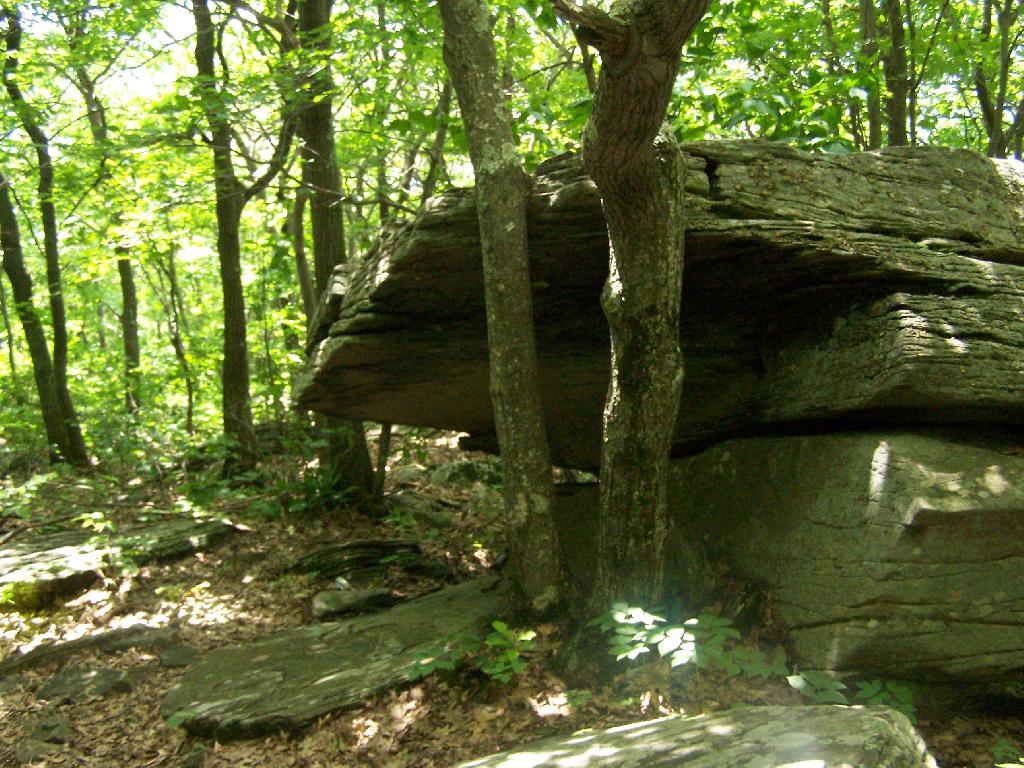
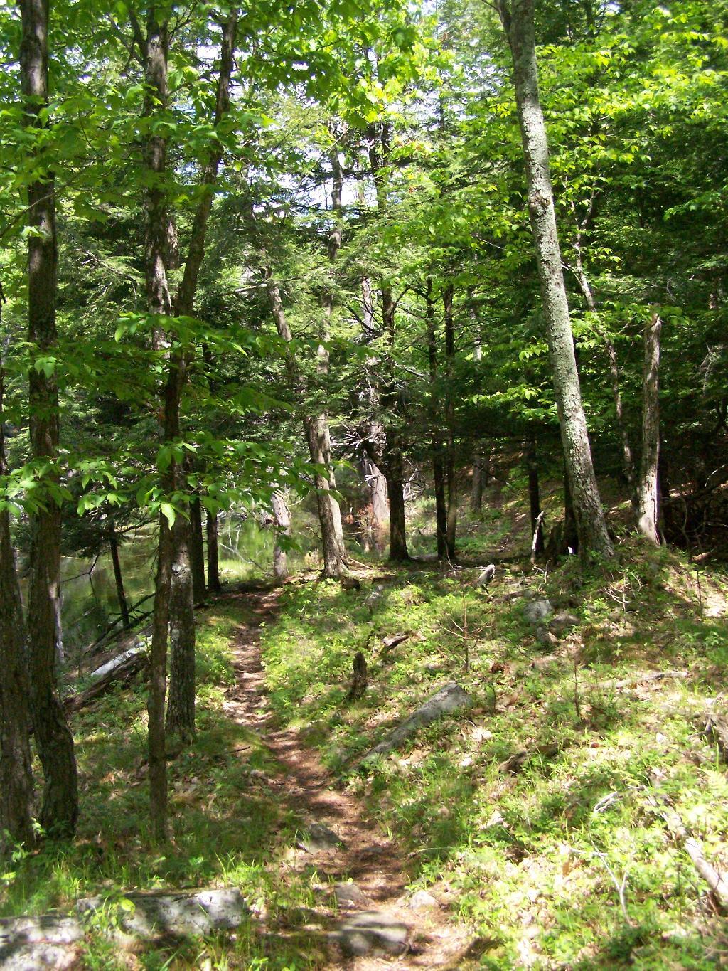
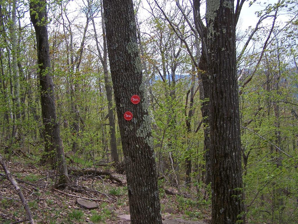
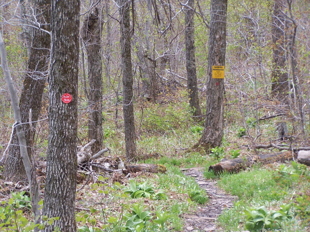
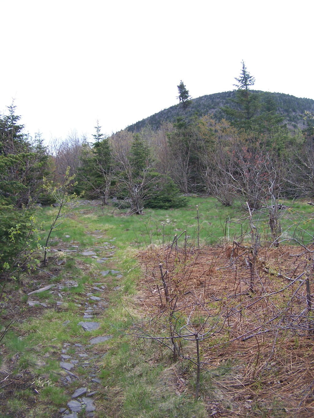
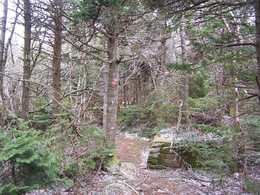
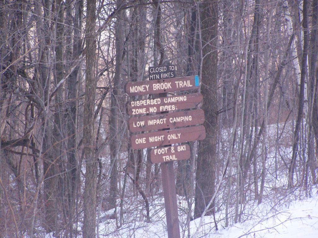
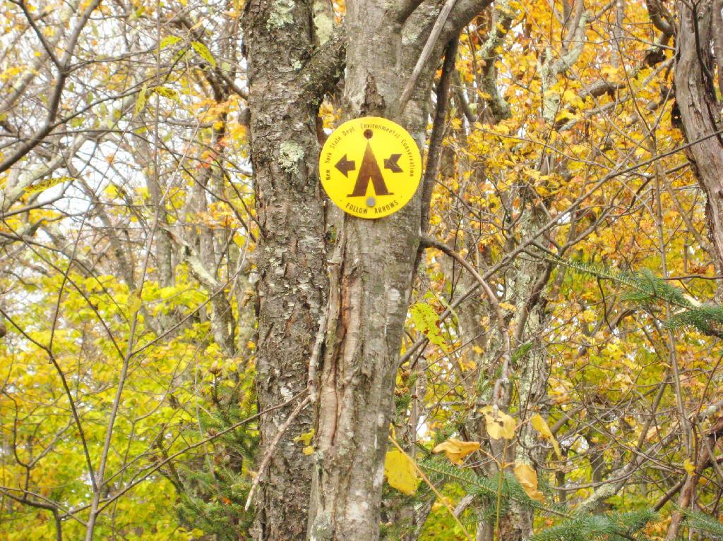
One you reach the unnamed mountain west of Camel’s Hump, the trail is relatively flat, with signs reminding people not to camp too close to the trail.

Below 3500, Camping Prohibited Near Trail

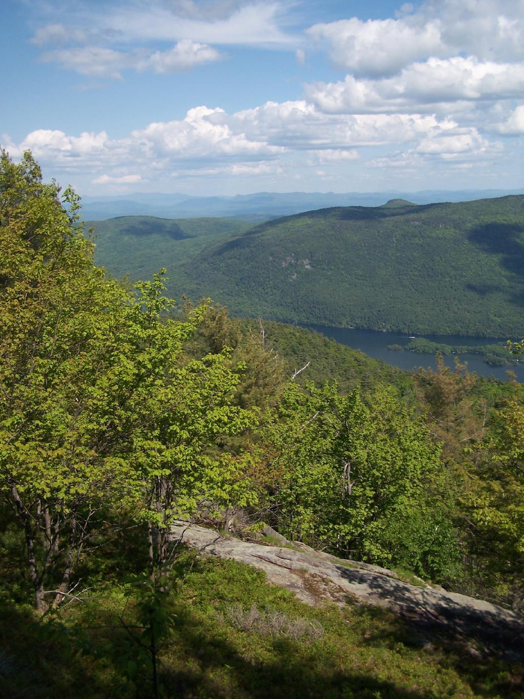
Looking at Camel’s Hump with Blackhead in the background.

Nice morning but crisp

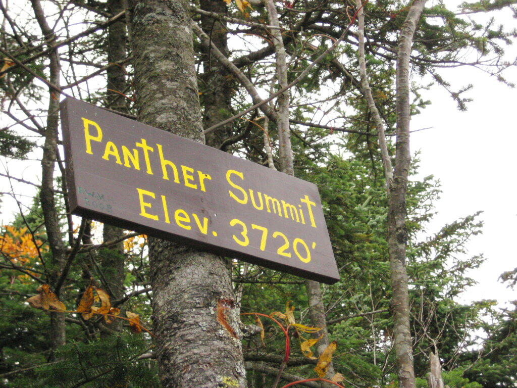
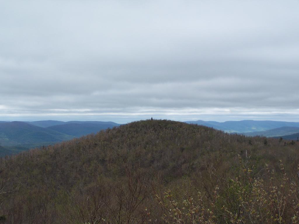
Reaching the top of Camel’s Hump.

Look Off of Camel Hump

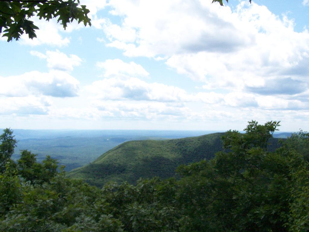
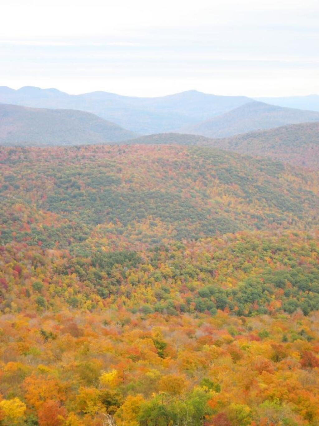
Looking off Camel’s Hump at Mount Hayden and the ridge you see to the north-west of Windham Mountain.

Mount Hayden

Thomas Cole Mountain’s “Black Head” from the Pine Stand, as seen from Camel’s Hump.

Thomas Cole from Camel's Hump

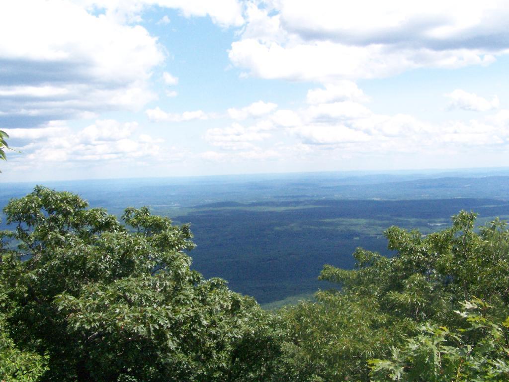
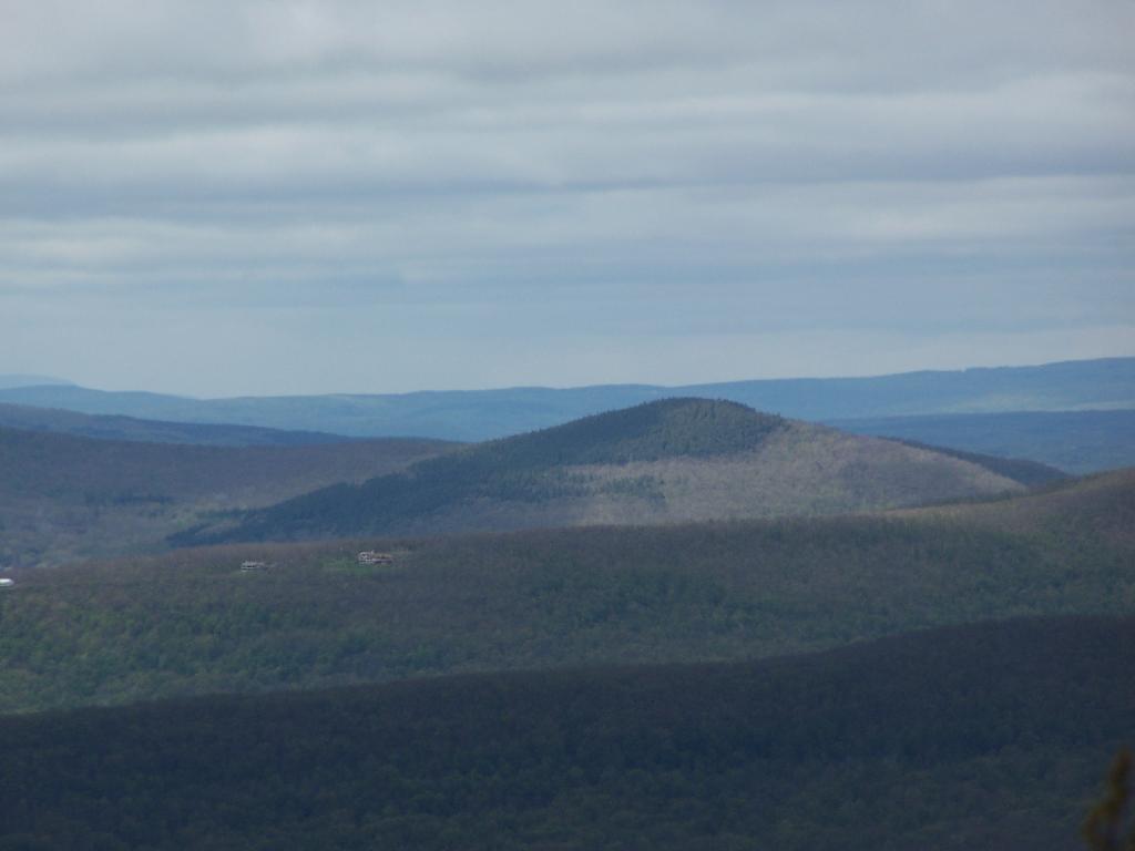
North-West from Camel’s Hump you see Acra Point and Huntersfield Mountains.

North-West

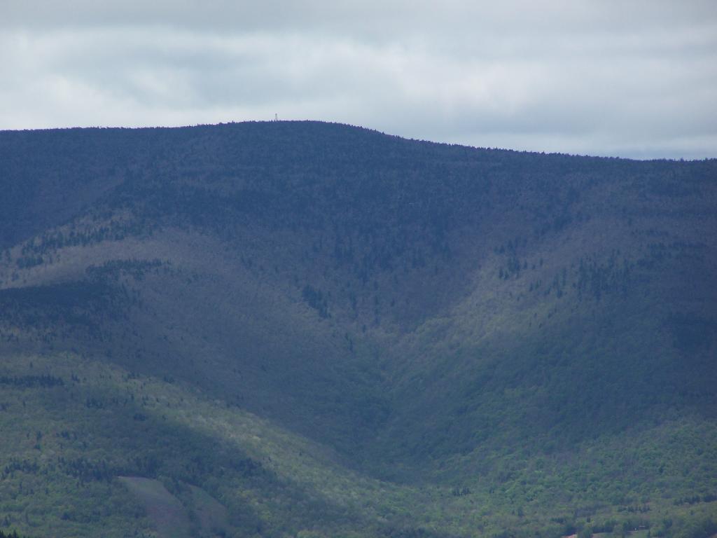
The flat “col” between Thomas Cole and Camel’s Hump, with Thomas Cole in the distance.

Flat Col Between Camels Hump and Thomas Cole

Looking at Camel’s Hump from Thomas Cole Mountain’s clearing.

 Camel\'s Hump

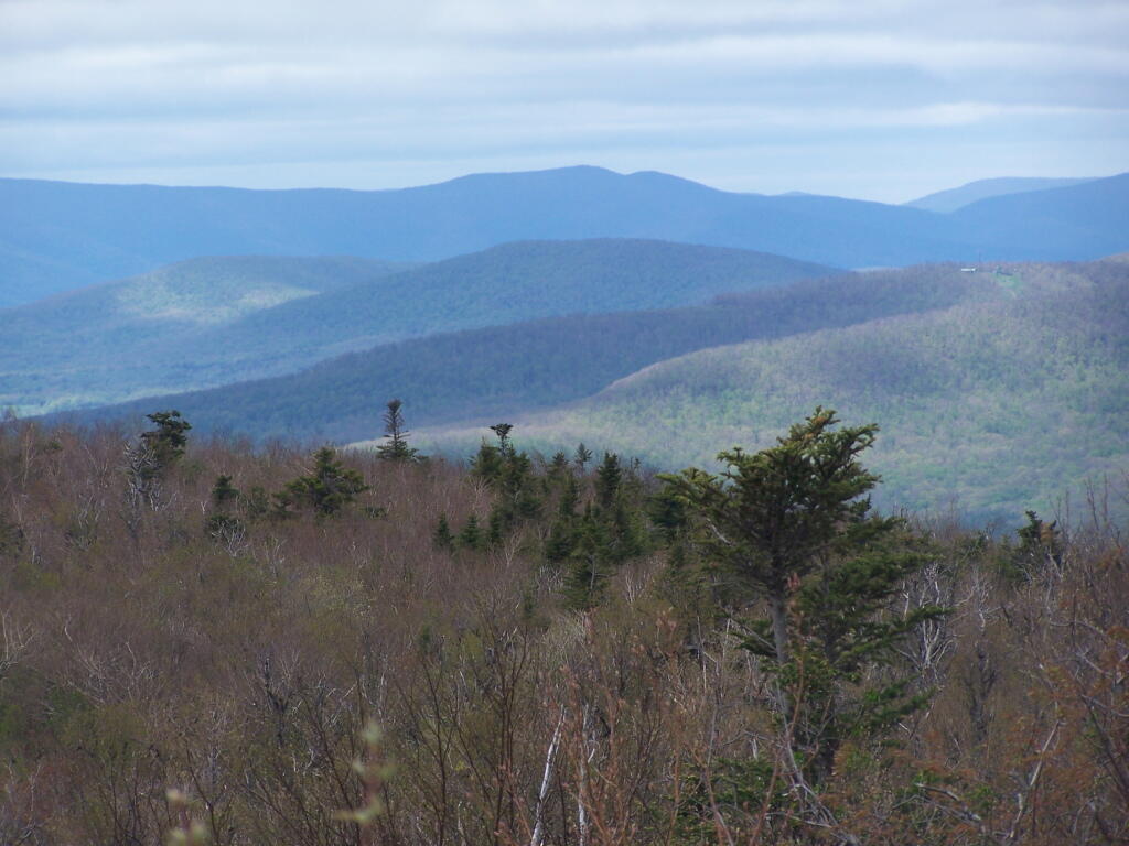
From the Thomas Cole Mountain’s clearing, looking at Hunter Mountain and how the bottom of the mountain is bright green, while the top of the mountain is largely leaf less.

Green to Brown on Hunter Mountain

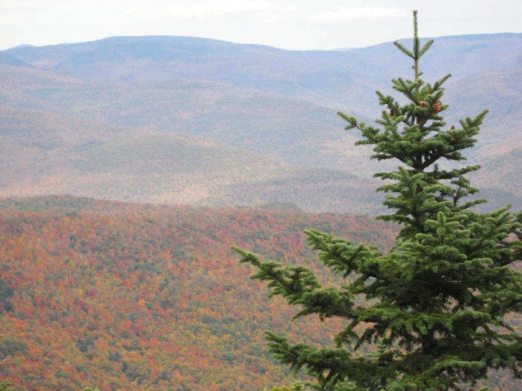
The view of Evergreen Mountain, and the valley to the west of Hunter.

Evergreen Mountain

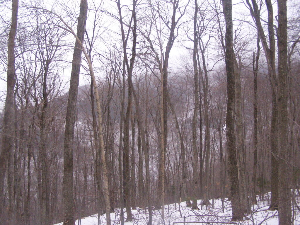
The dense pine forest a top of Thomas Cole, with some snow remaining.

Dense Forest on Thomas Cole

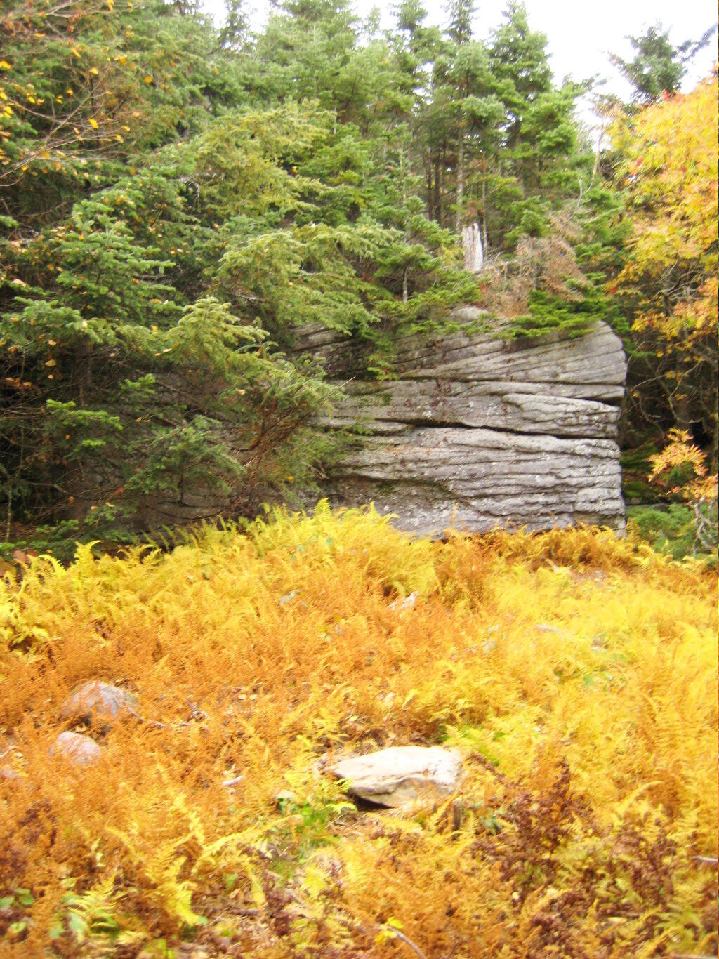
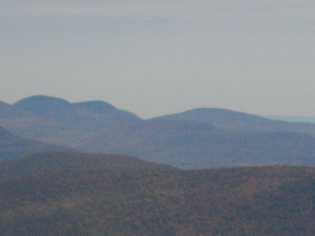
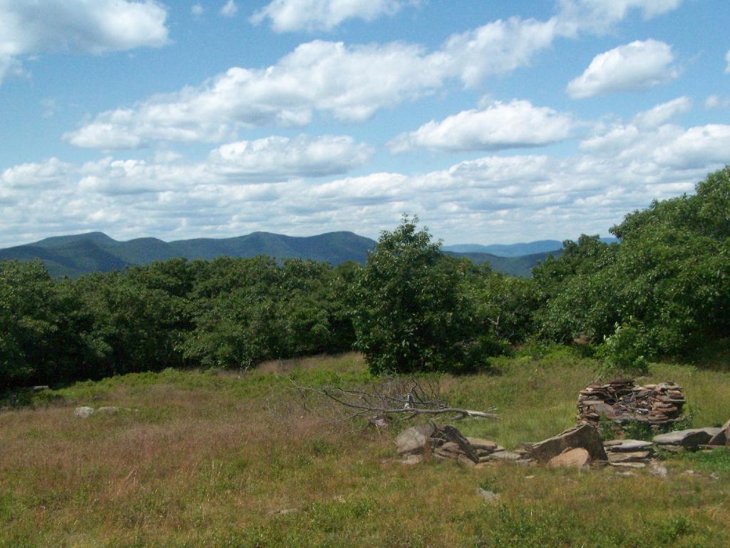
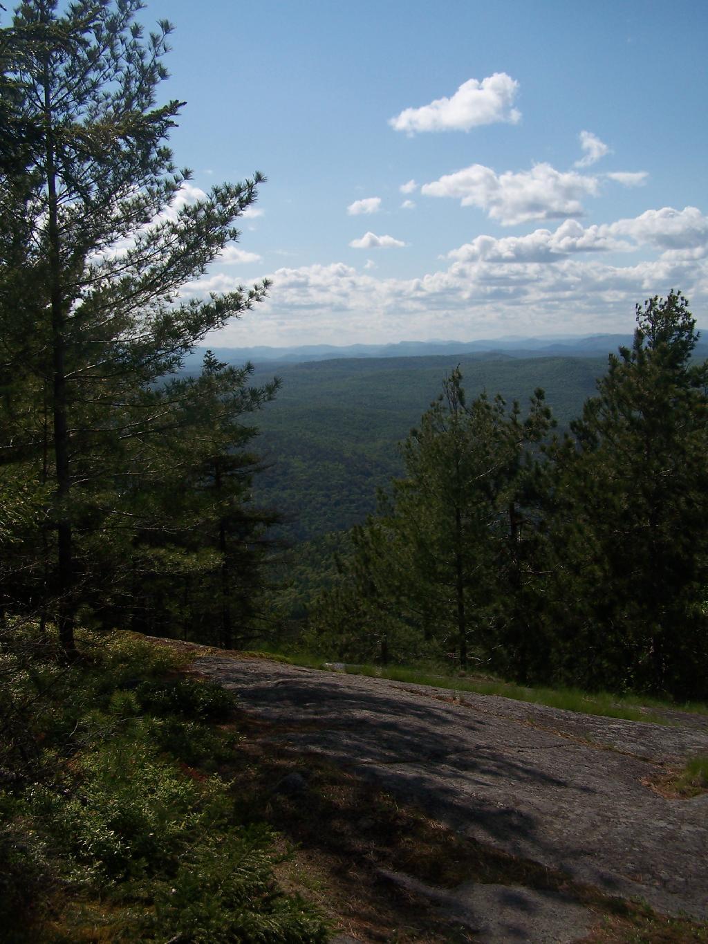
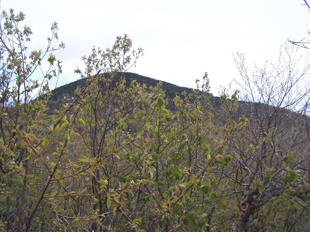
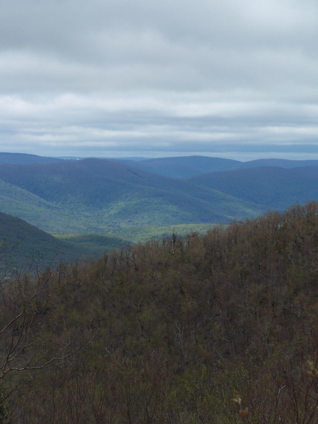
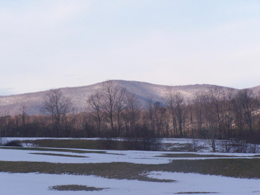
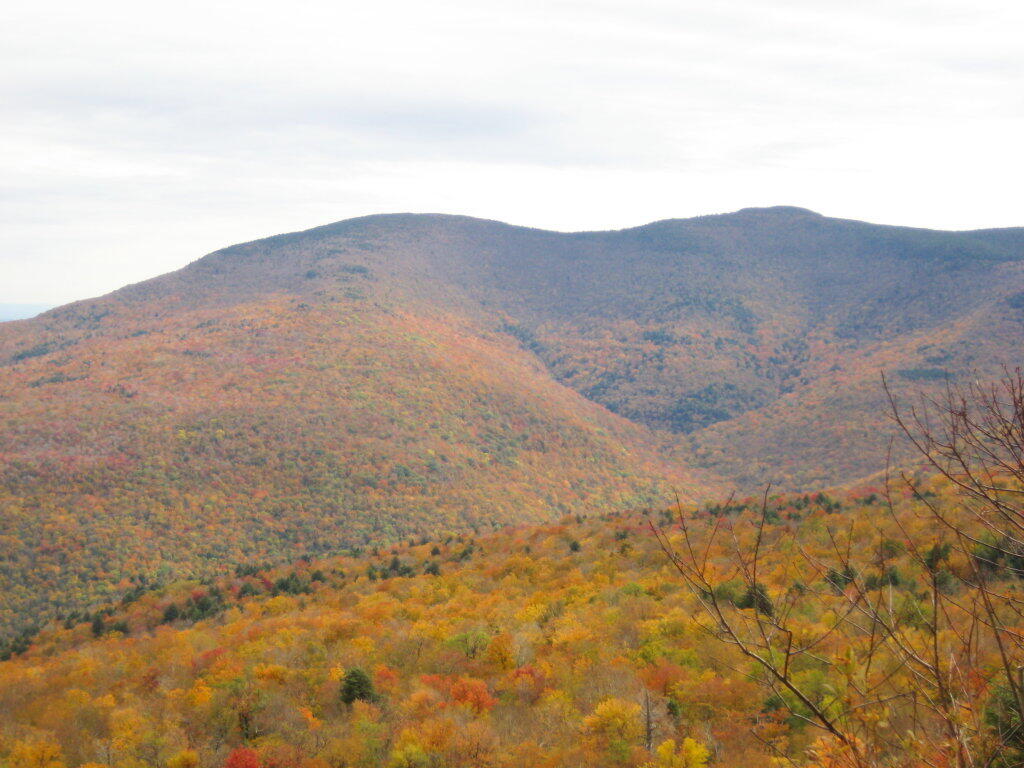
A broken view of Burnt Knob from Thomas Cole Mountain.

Here is the map of the route.


View Thomas Cole Hike in a larger map

Stony Ledge at Mount Greylock

For about two months now I’ve been really itching to go out hiking on Mount Greylock. I have wanted to say I’ve “conquered” yet another peak. Last Sunday I decided it was time to go. I realised though with the short days and the snow predicted for the afternoon, I would not be able to make it all the way up Greylock, but would have to settle for Stony Ledge from the Hadley Farm.

Hadley Farm Barn

Hadley Farm is a working beef cattle farm, and while the cows where in the barn, you can smell the livestock in the barn. The farm is privately owned, Massachusetts Department of Conservation Resources (DCR) owns a parcel of a land directly to the south of the barn, an old field that is snowploughed to allow parking.

Hadley Farm Barn

One of the first views directly to the west of the trail-head is the beautiful Deer Ridge, a set of lower mountains directly to the west of Mount Greylock.

Deer Ridge

For a while the Hopper Trail is co-signed with the Money Brook Trail. Along the Money Brook they allow dispersed camping, which is not allowed in other areas. This portion of the Hopper Trail is relatively flat, with some climbing, but nothing too major.

Dispersed Camping Along Money Brook

The trail I took up with the Hopper Trail, an old woods road that connects up with the camp ground on Stony Ledge. As I had gotten a fairly early start hiking up, the sun had yet to rise over the high mountains, so things where still in a shadow. The deep valley I am in is called the Hopper.

Heading Up Hopper Trail

When you reach the Sperry Road Campground (free primitive backpack/horseback/snowmobile campsites), here is the sign for The Hopper / Hoper Trail. In Massachussets they sometimes get a bit carried away with all the words they use on their signs.

Sperry Road, Now Snowmobile Trail

Here is Sperry Road / Campground. Right now it’s being used as a snowmobile trail. In the background is the side of Mount Greylock, some 1,000 feet above Sperry Road.

Campsite R6 on Sperry Road

Here is Campsite R6 at Sperry Road. All of the campsites have picnic tables, the tiny little fire pits that are standard issue by MassDCR, and a hitching post for horses.

Sperry Road at Campground

Reaching Stony Ledge. I’m tired. I sit down at the picnic table, and take off my snowshoes, and look down at the Hopper and the Taconic Mountains in the distance. The snow had largely blown off the face of the mountain.

Stony Ledge Out-House

Here is the pass between Mount Greylock and Mount Prospect. The “wrinkles” in the mountain, and the stony-nature of Stony Ledge just seemed so perfect for this rapidly greying day.

East Off Stony Ledge

I didn’t spend much time at Stony Ledge. Shortly after reaching Stony Ledge, it started to sleet (ice pellets) pretty hard. My left-cleet came apart on my snowshoe, so I decided I’d better head back. I wanted to find the pieces that fell off my snowshoe, so I returned the way I went up the mountain.

Greylock Shrowed in Snow

Part of the descent down on Hopper Trail was quite steep and icy. With my broken snowshoe, which I later found the parts for on the trail, it was a slippery descent. The old roadbed was covered with a thick layer of ice, made slipper from the sleet, and at an almost 45 degree angle to the roadbed, because of drifting snow.

Hoof and Leg

Looking up towards the Cut Off to Money Brook around 1:30 PM as the snow was rapidly flying around and coming down. It wasn’t quite whiteout conditions, but it was very white. It would change from ice pellets/sleet to snow then to ice pellets, and finally back to non-freezing rain.

Cut Off to Money Brook Trail in Snow

By the time I made it back to my truck, it was pouring rain out. Much too wet to get the camera out for sure. I hopped in the cab of my truck, took off my thermal overalls, and got warm. It was a long drive home on very slippery roads, but it was worth it.

Here is a map of the route, in blue.


View Hikes of 2009 in a larger map

Giant Ledge, October 2009

Giant Ledge is a relatively flat hill located on the ridge between Slide Mountain and Panther Mountain. It can be accessed from the Giant Ledge Parking Area, off of hairpin turn on Slide Mountain Road.

When Thanksgiving Falls, 2000 to 2099

Giant Ledge Parking Area

I went hiking on Columbus Day, a little past peak foliage system after spending two nights camping out in Schoharie County. It is a short hike.

Short Hike to the Ledge

Here is cute little bridge that goes over an unamed creek, running down the northern face of Slide Mountain.

Bridge

After a moderately steep 3/4 mile hike, you reach the “pass” that goes between Slide Mountain and Panther Mountain. This portion is relatively flat, until you reach the last 150 feet of elevation gain, to reach the top of Giant Ledge.

Plateau

Here is Slide Mountain, peaking through the trees as your going up to the last bit to Giant Ledge.

Slide Mountain

Looking off Giant Ledge, towards Woodlawn Valley (in the colorful foreground), with Plateau Mountain, Twin Mountain, Indian Head Mountain, and in the middle, Tremper Mountain.

 Colors

Here is the Wittenberg and Cornell Mountains.

Wittenberg and Cornell Mountains

This is the Woodlawn Valley’s beautiful colors.

Part of the trail runs right along the edge.

Trail Along the Edge

Off the main blue trail on Giant Ledge, there are two campsites at are primative, but nice. This also leads to a trail with views of the Big Indian Valley

Camp Here

Here is the second of two designated campsites on Giant Ledge. There are no campsites on Panther Mountain, which is too high to allow camping. There also is camping on the lower portion Slide Mountain, minus the wonderful views.

Campsite 2

After you hike across the trail to the campsites, there is another short little trail that runs over to a viewpoint with views of Big Indian Mountain, and the Big Indian Valley (where Slide Mountain Road runs).

Across the Potamac River to West VIrigina [Expires November 12 2023]

From here, I hiked up Panther Mountain. Here is a map of the hike.


View Hikes of 2009 in a larger map

Panther Mountain

The same day I visited Giant Ledge, I also hiked up Panther Mountain. Panther Mountain is about 750 feet higher then Giant Ledge, and is one of the high peaks, at an elevation over 3,500.

Hiking

Portions of the trail are made up of rock stairs up the mountain. Other parts you climbed up rocks, but nothing too steep.

Stairs

Along the trail in full color.

Color on the Trail

Interesting swamp with the ferns a bright yellow color.

Rock and Marsh

A top the mountain, one of the first views is on top of a boulder.

First Good View off Panther

The Panther Summit is at 3,720 feet.

Panther Summit

One of the best views off the mountain was how clear Indian Head Mountain looks from off of Panther Mountain.

Indian Head

Off the trail, there is this cute little cave.

Cute Little Cave

Looking into the Woodlawn Valley.

Berries

Mountains through the valley, looking off of Panther Mountain.

Mountains

Here is map of hike.


View Hikes of 2009 in a larger map

Ashokan High Point

Ashokan High Point is a mountain overlooking West Shokan and the Ashokan Reservoir, however due to trees the views to the east are limited. It is reached from a parking lot off of Ulster County Route 42, a windy low-speed road that lacks guardrail protection.

I visited this after doing Red Hill Fire Tower in another section of the Sundown Wild Forest, some 15 miles to the west (30 miles via road).

Trailhead Parking Lot Sign

The first two miles up the trail is up an old woods road, that is relatively flat and a pleasurable walk along the Kanape Brook and in a deep clove between Ashokan High Point and Mombaccus Mountain.

Built Up Fieldstone Trails

After you walk about a mile or maybe 45 minutes, you arrive at this nice little campsite right near the brook and the trail. It’s in a field, but has limited light for big portions of the day because the clove is so deep.

Campsite By Creek

The trail seems a bit long at times, but this is the kind of delightful walking you experience. Markers are sparse along this section of trail, but if your following the old woods road it’s easier to follow.

Nice Easy Walking

You then reach the sharp turn off the old woods road, to where the trail splits to the upper loop. As you can see, the turn is well marked.From here on out, you gain about 1,000 feet over the next one mile. It’s quite a bit steeper, but nothing is hands and knees hiking.

Don't Miss This Turn

As you start to do some serious climbing, you get partial views to the west.

Slight Views

And the trail gets steeper for the next 1/2 mile. They have put in several rock steps to make the climb a little bit easier. Nothing that couldn’t be made by a child or a pet though, and no scary views/ladders.

Steep Part of the Trail

Once you are within a 1/4th mile to the top, you stop doing much climbing. If your caught in a storm, this rock offers some protection.

Neat Little Cave

You’ve basically reached the top when you get this nice westerly view of Moccabus Mountain through the trees. You can stop over here, or continue to the top for better southernly views.

First Views

From the top, you have limited views looking south towards the Shawangunks, surrounded by trees. There supposedly is an unmarked trail you can take down to the “ledge” for 180 views. Without a good map, I decided not to proceed down to the ledge.

South of Ashokan High Point

The Shawangunks, shrowed in haze. They are small compared to the Catskills but an interesting profile in the sky.

Shawangunks

Along the top there is a trail that runs through a 1/2 mile of Blueberry fields. I was foruntate to be there when they where in season.

Saturday Evening Up at Camp

Clearing outside of South Kortwright

On the other side of the mountain, there is an informal campsite with fantastic views of the High Peaks Region of the Catskills.

Campsite with Views

The trail down the backside of the mountain is without views, and is less steep but much longer, and winds up and down a few ridges. Nothing really worth visiting — go back the way you came.

Trail Down Backside of Mountain

You return back to where the loop splits, and return back the trail you took up. It’s a 7.5 mile hike total, but a relatively easy one that you can do in a few hours in an afternoon, and not be totally exhausted.


View Hikes of 2009 in a larger map

Five Mile Mountain

I got up at 5 AM on Saturday and headed off to the Tongue Mountain Range. I arrived there around 8 AM, because I made several stops on the way up, and didn’t really get in my truck until 6:30 after getting ready and having breakfast.

I wanted to hike up Fifth Peak and French Mountain, famous for their views of Lake George, but I ended up hiking up Five Mile Mountain, as I parked at the wrong area based on my faulty memory of where the trail head was, based on a brief drive by some three years ago back in college.

Trailhead

The markers on the trail where old, but it was well marked with these 1967-era trail markers and carins.

1967 Trail Marker

Carin

Lake George can be seen off one view from Brown Mountain. It was raining as I hiked up there.

Evening on Meads Road

I was fortunate enough to make it up to the Five Mile Leanto before the sky just opened up and started to pour.

Five Mile Mountain Leanto

Sitting in the lean to watching as the rain rapidly approached me. This lean-to was not well thought out as it faces due west. But it must have good views of the sunset. Maybe some night I should stay up here.

Rain Soaked Trail

Fortunately the rain passed relatively quickly.

Waiting Out the Rain

But it left the trail fairly swampy in parts.

Rain Soaked Trail

The trail from Five Mile Mountain has some limited views to the east over Lake George. It was still cloudy when reached this point around 10 AM but was starting to clear out.

Raining Over Lake

You descend down Five Mile Mountain come to the intersection of the trail to Fifth Peak and French Mountain.

Trail Choices

After you get on the trail to descend down to Five Mile Point, you go past a long and skinny portion of creek dammed up by beavers.

Beaver Swamp

Descended down to Five Mile Point and had lunch along Lake George. It’s a relatively steep and long descend down to Five Mile Point, and it continues to be steep until you get down to the shore. Not a perfect place for a picnic, but still pretty.

Percent Change in Total Employed, April 2022 vs April 2012

Here’s a boater passing by an island on the other side of Lake George.

Boating

The trail back up from Five Mile Point was an old-wagon road, probably abandoned for 100 years now. It’s a steep climb back up it.

Trail Back Up Mountain

The views back atop of Five Mile Mountain where amazing, once it cleared out with just a few clouds remaining.

Bernie Sanders Plan A

It cleared out by the time I was back up on Five Mile Mountain. There is Lake George, Bear Mountain on the other side, and the Green Mountains and Vermont in the distance.

Bear and Beyond

Hiking along the trail…

Hiking

The view from the lean-to when the weather is a bit nicer.

West from Lean To

Near where the trail splits off to go over to Deer Point (which I did not visit), there was a serious forest fire in 1985. It was one hell of a fire, as witnessed from the damage from almost 25 years ago.

One Hell of a Fire

I arrived back at my truck around 5:30 PM, a bit tired and sore. But the views where great!


View Andy Arthur – Hikes 2009 in a larger map