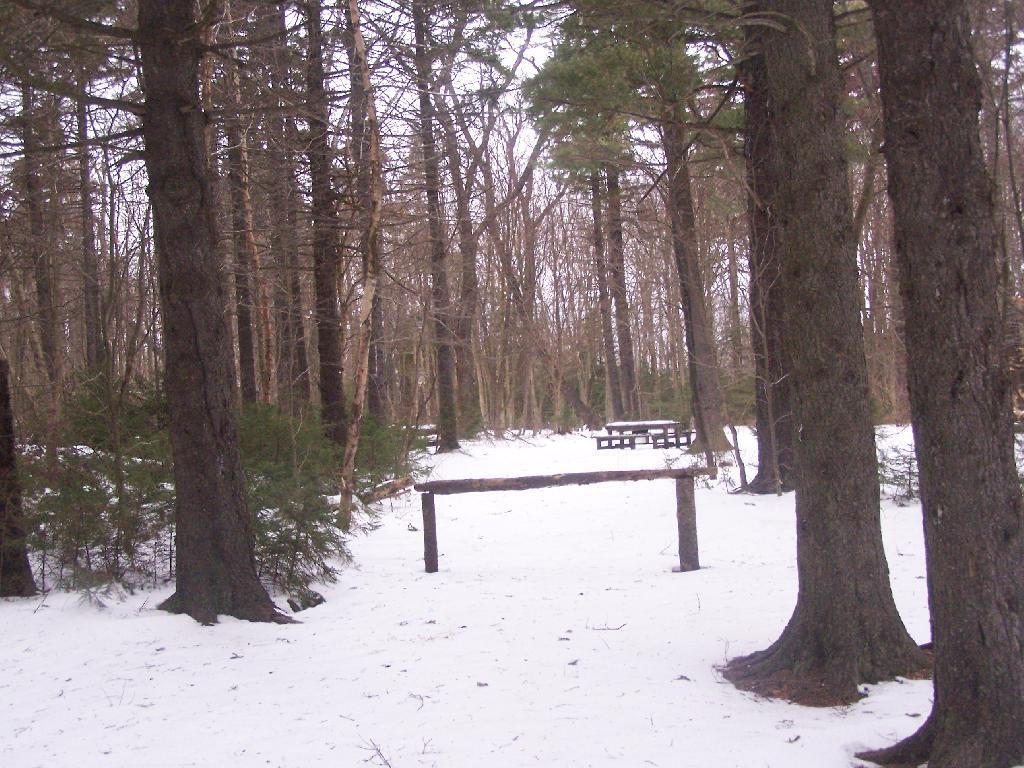
This is an old woods road to campground, Mount Greylock Summit, and Stony Ledge, the later which I would visit on this particular day. Wish I had time to have visited the peak of Mount Greylock.
For about two months now I’ve been really itching to go out hiking on Mount Greylock. I have wanted to say I’ve “conquered” yet another peak. Last Sunday I decided it was time to go. I realised though with the short days and the snow predicted for the afternoon, I would not be able to make it all the way up Greylock, but would have to settle for Stony Ledge from the Hadley Farm.
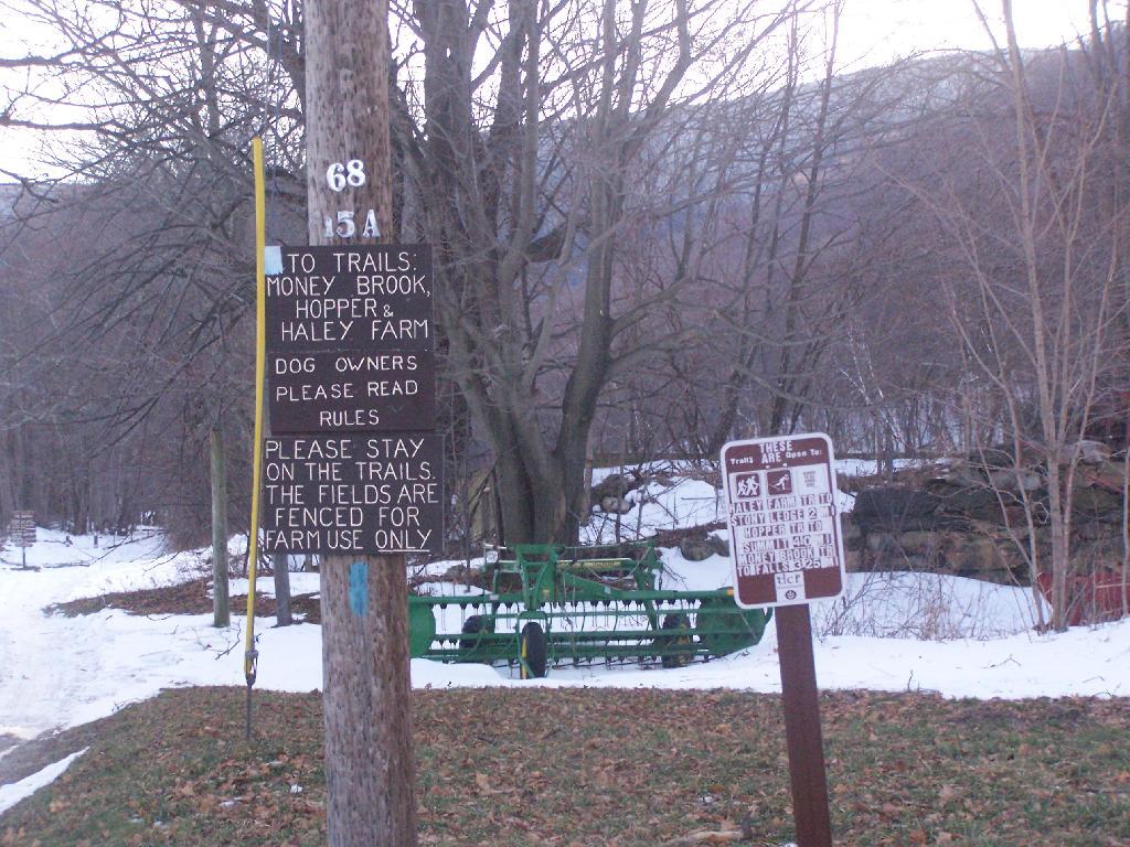
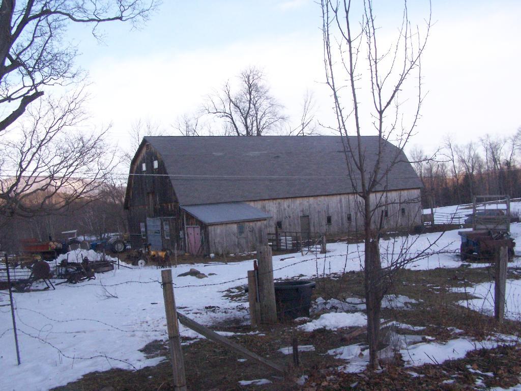
Hadley Farm is a working beef cattle farm, and while the cows where in the barn, you can smell the livestock in the barn. The farm is privately owned, Massachusetts Department of Conservation Resources (DCR) owns a parcel of a land directly to the south of the barn, an old field that is snowploughed to allow parking.
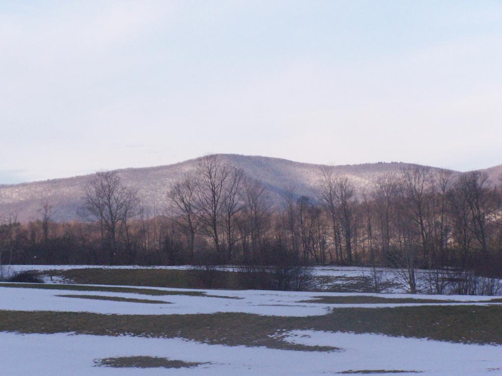
One of the first views directly to the west of the trail-head is the beautiful Deer Ridge, a set of lower mountains directly to the west of Mount Greylock.
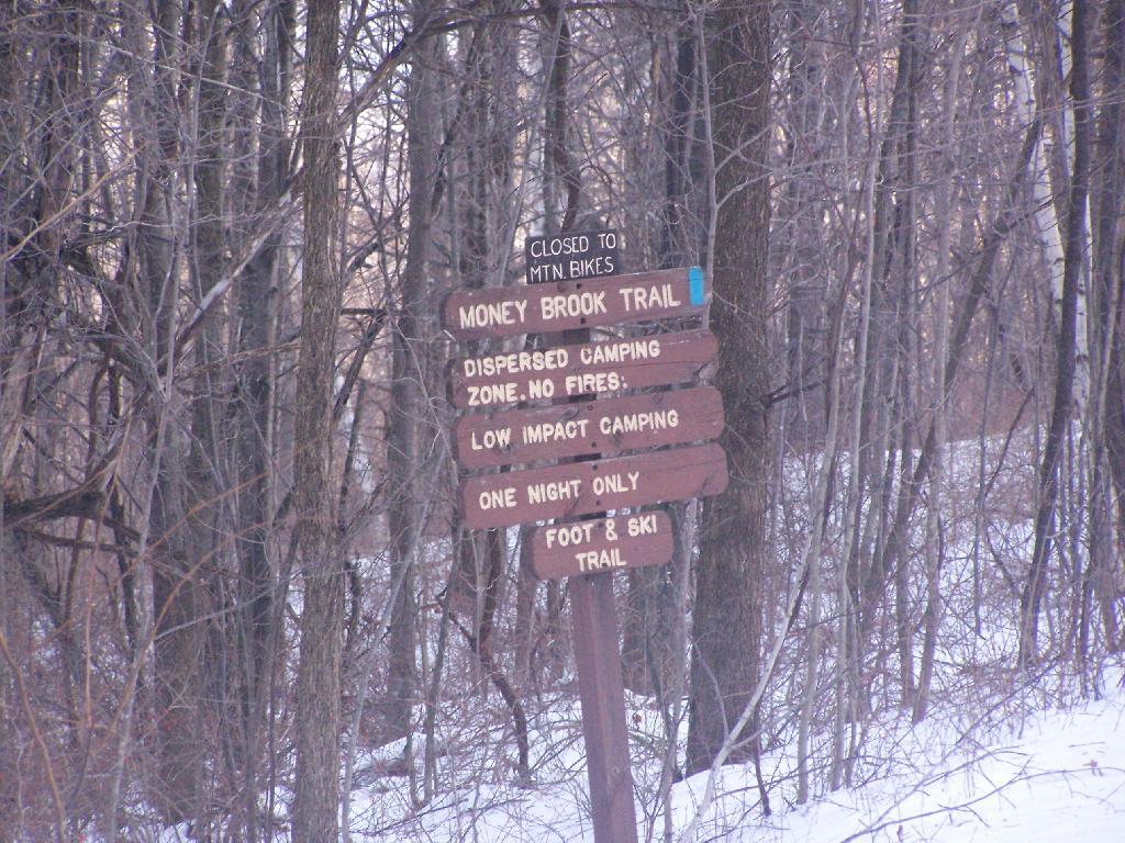
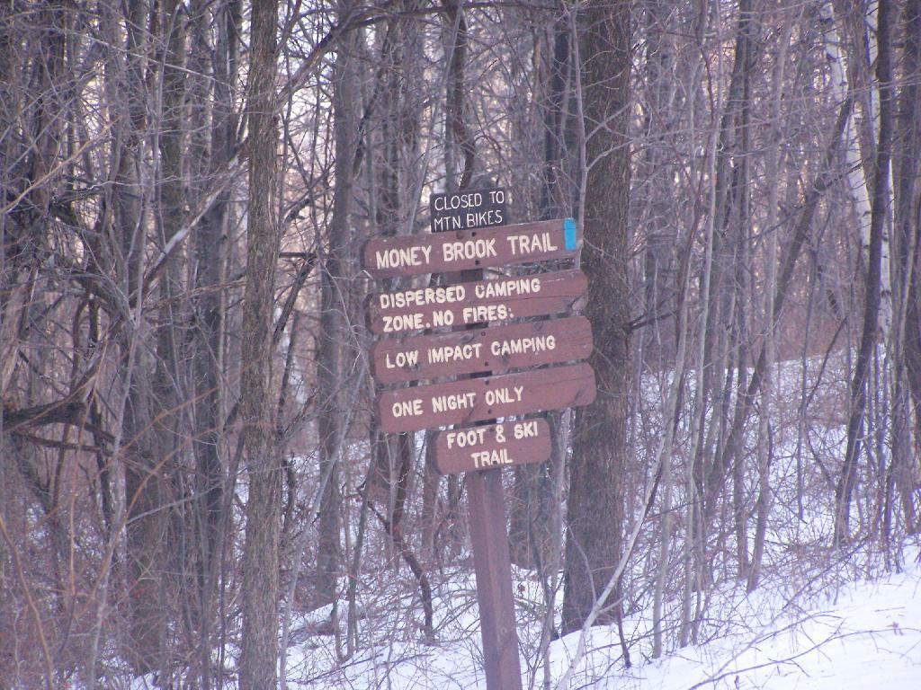
For a while the Hopper Trail is co-signed with the Money Brook Trail. Along the Money Brook they allow dispersed camping, which is not allowed in other areas. This portion of the Hopper Trail is relatively flat, with some climbing, but nothing too major.
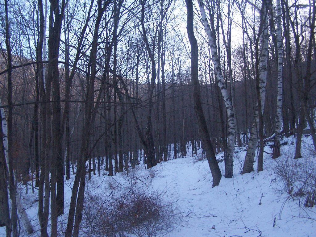
The trail I took up with the Hopper Trail, an old woods road that connects up with the camp ground on Stony Ledge. As I had gotten a fairly early start hiking up, the sun had yet to rise over the high mountains, so things where still in a shadow. The deep valley I am in is called the Hopper.
When you reach the Sperry Road Campground (free primitive backpack/horseback/snowmobile campsites), here is the sign for The Hopper / Hoper Trail. In Massachussets they sometimes get a bit carried away with all the words they use on their signs.
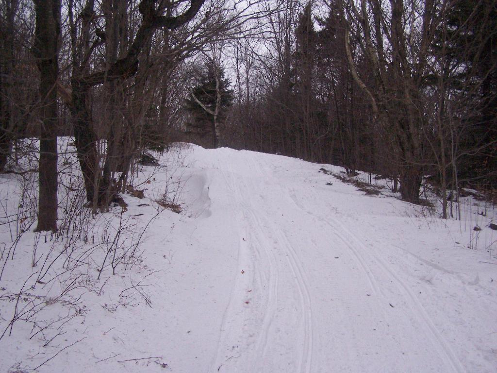
Here is Sperry Road / Campground. Right now it’s being used as a snowmobile trail. In the background is the side of Mount Greylock, some 1,000 feet above Sperry Road.
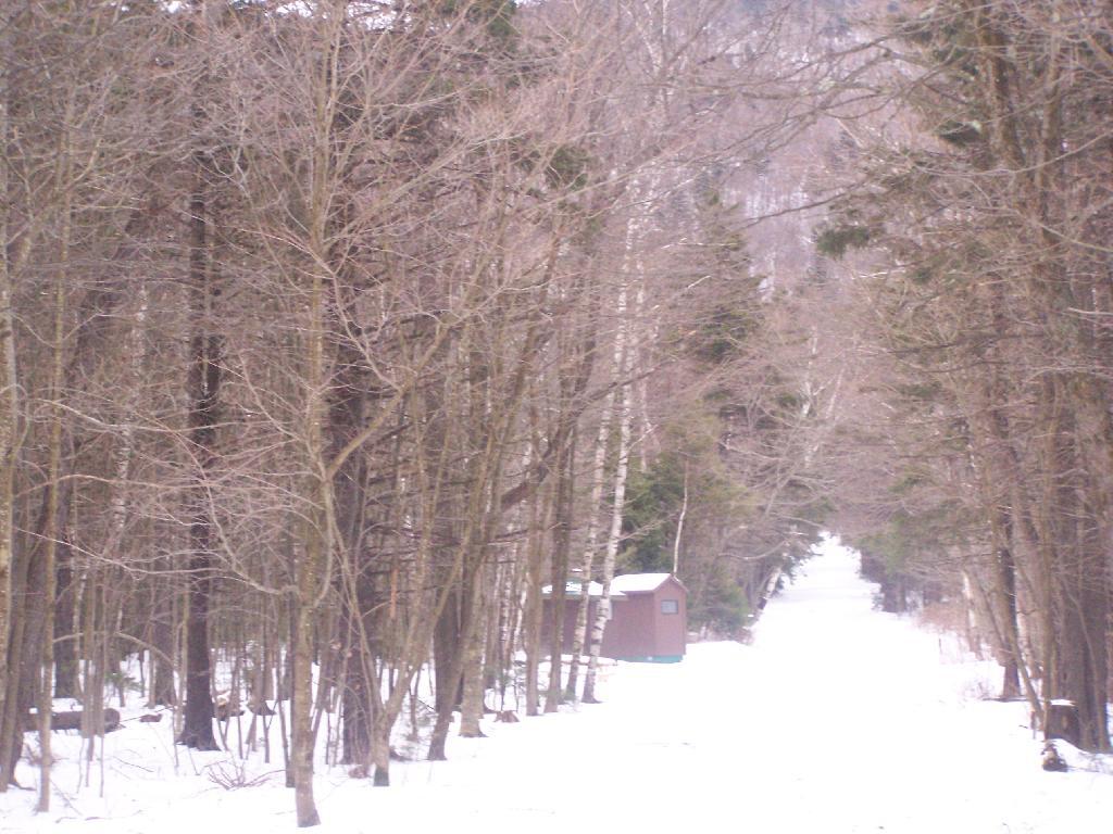
Here is Campsite R6 at Sperry Road. All of the campsites have picnic tables, the tiny little fire pits that are standard issue by MassDCR, and a hitching post for horses.
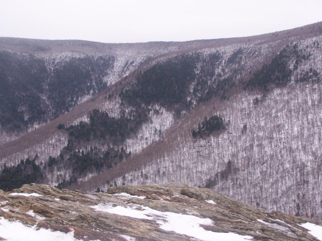
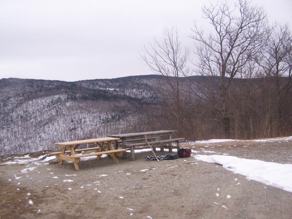
Reaching Stony Ledge. I’m tired. I sit down at the picnic table, and take off my snowshoes, and look down at the Hopper and the Taconic Mountains in the distance. The snow had largely blown off the face of the mountain.
Here is the pass between Mount Greylock and Mount Prospect. The “wrinkles” in the mountain, and the stony-nature of Stony Ledge just seemed so perfect for this rapidly greying day.
I didn’t spend much time at Stony Ledge. Shortly after reaching Stony Ledge, it started to sleet (ice pellets) pretty hard. My left-cleet came apart on my snowshoe, so I decided I’d better head back. I wanted to find the pieces that fell off my snowshoe, so I returned the way I went up the mountain.
Part of the descent down on Hopper Trail was quite steep and icy. With my broken snowshoe, which I later found the parts for on the trail, it was a slippery descent. The old roadbed was covered with a thick layer of ice, made slipper from the sleet, and at an almost 45 degree angle to the roadbed, because of drifting snow.
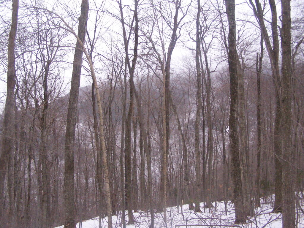
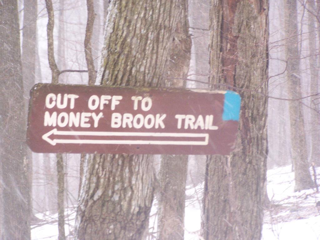
Looking up towards the Cut Off to Money Brook around 1:30 PM as the snow was rapidly flying around and coming down. It wasn’t quite whiteout conditions, but it was very white. It would change from ice pellets/sleet to snow then to ice pellets, and finally back to non-freezing rain.
By the time I made it back to my truck, it was pouring rain out. Much too wet to get the camera out for sure. I hopped in the cab of my truck, took off my thermal overalls, and got warm. It was a long drive home on very slippery roads, but it was worth it.
It's great to the pack and the weight off my back for a few minutes, and walk without the snowshoes. There was a foot of snow on most of Stony Ledge, but part of it had blown away.
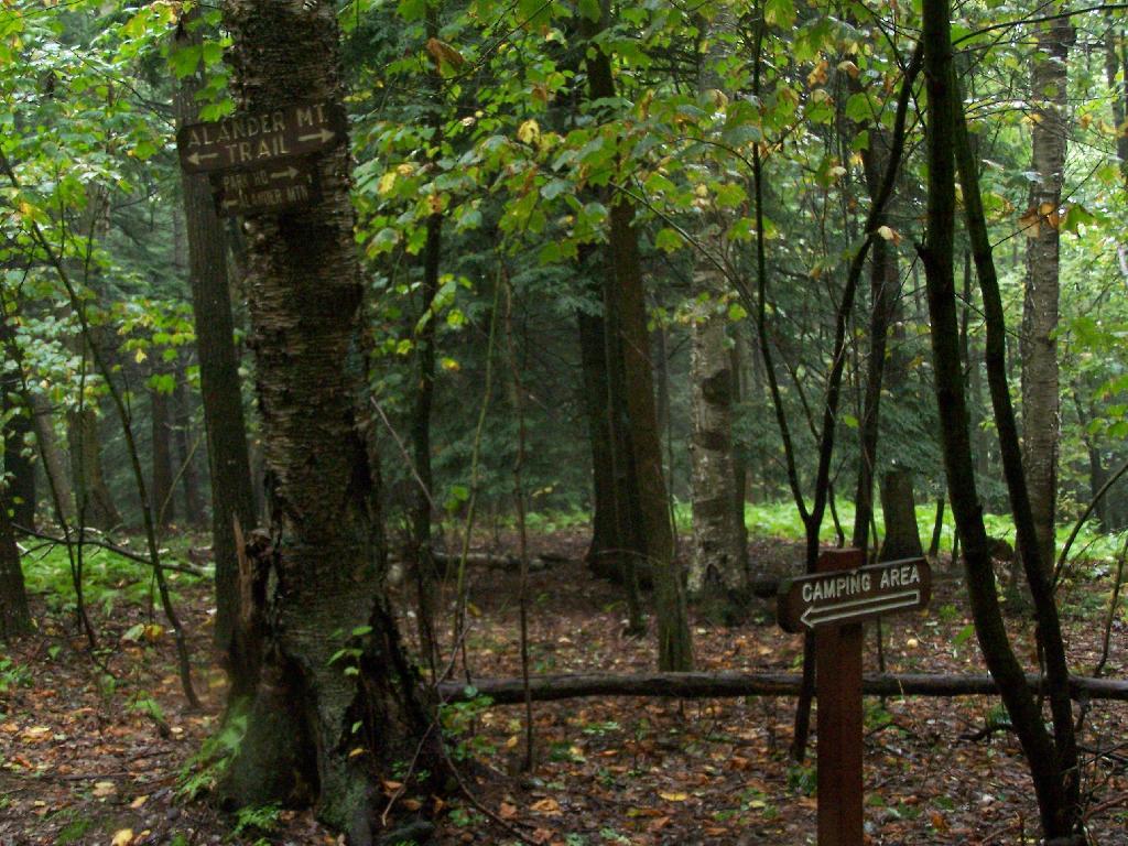
Alander Mountain is the highest point in Columbia County. I chose to access the mountain from Mt Washington State Reservation Park Headquarters in Massachussets. You can also visit there from New York State in several other directions, although the elevation increase is substantial.
While it was clearing when I left Albany around 7 AM, when I got out to Mt Washington State Forest, it was a misty-rain mix. I left my raincoat home, but fortunately it was more damp then heavy rain.
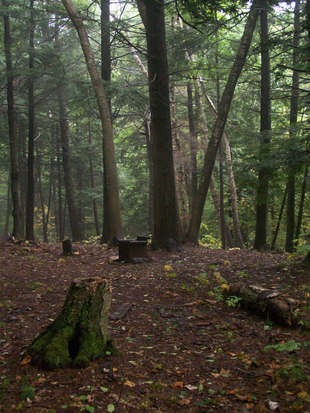
They do not allow casual primitive camping in the Mt Washington State Forest. That said, 1 1/2 miles up the trail there is two or three sites for primitive camping. Nobody was up there on the rainy days.
Primative Campsite No 1. Somebody left some cords up along with basic cooking things and water bottle, along with a nicely built up fire pit.
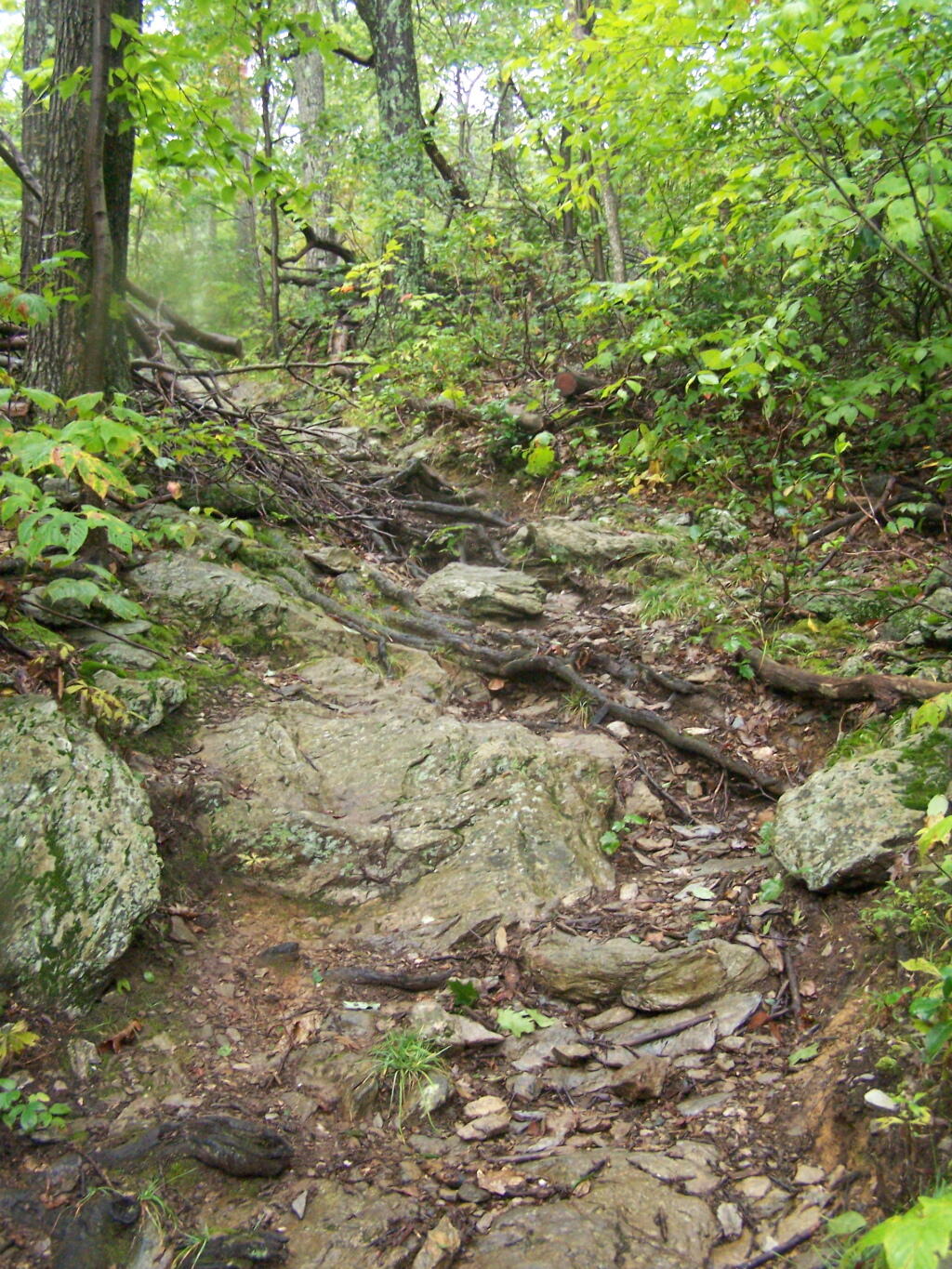
The trail got steeper as I continue up the mountain, and at the same time got clearer and nicer out.
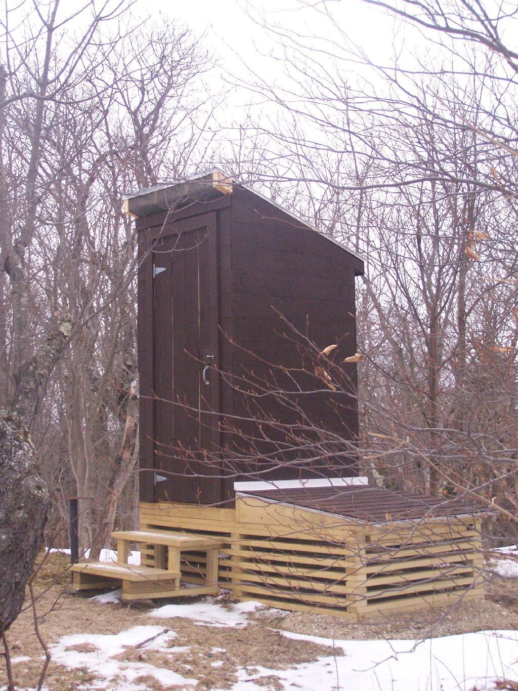
When you arrive almost to the top of the mountain, there is a beautiful little cabin you can stay in for no charge. It appears to be fairly popular, but with 6 bunks and floor camping space. There was a fair bit of unburnable trash around — particularly liqour bottles, even though technically alcohol is prohibited in the state forest.
Regardless, it looked like a fine place to camp. There is a wood stove in the cabin so you can stay here in the winter. I didn’t look at the wood supply around, but it looks like that shouldn’t be a problem.
While there was no official camping allowed on the mountain, people where certainly camping up there, and there were places where one could get well off the trail, yet camp in an open area with minimum damage to the land.
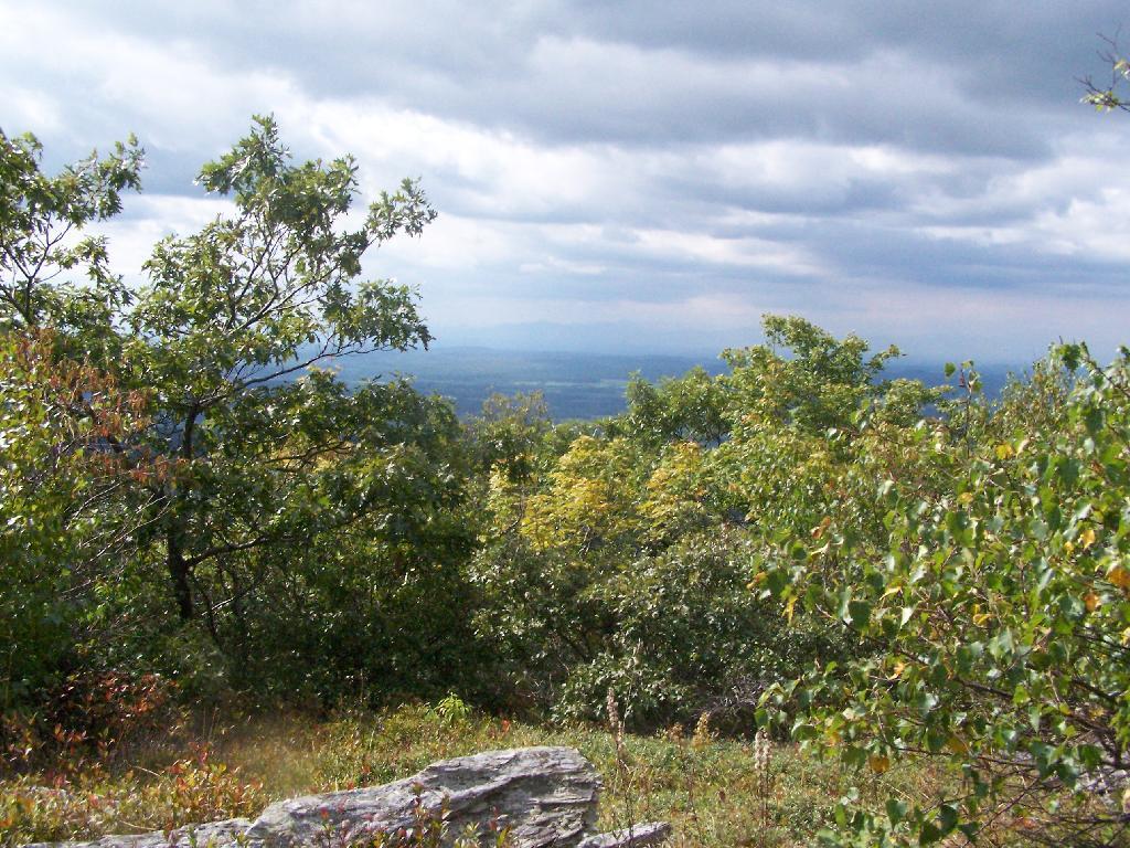
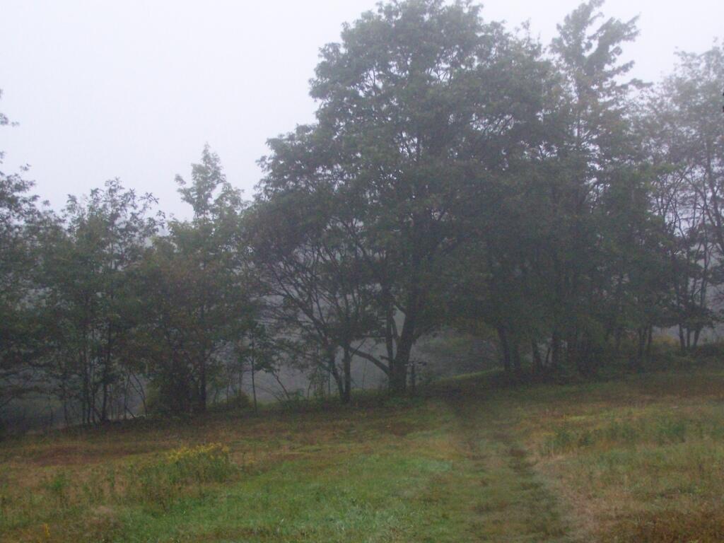
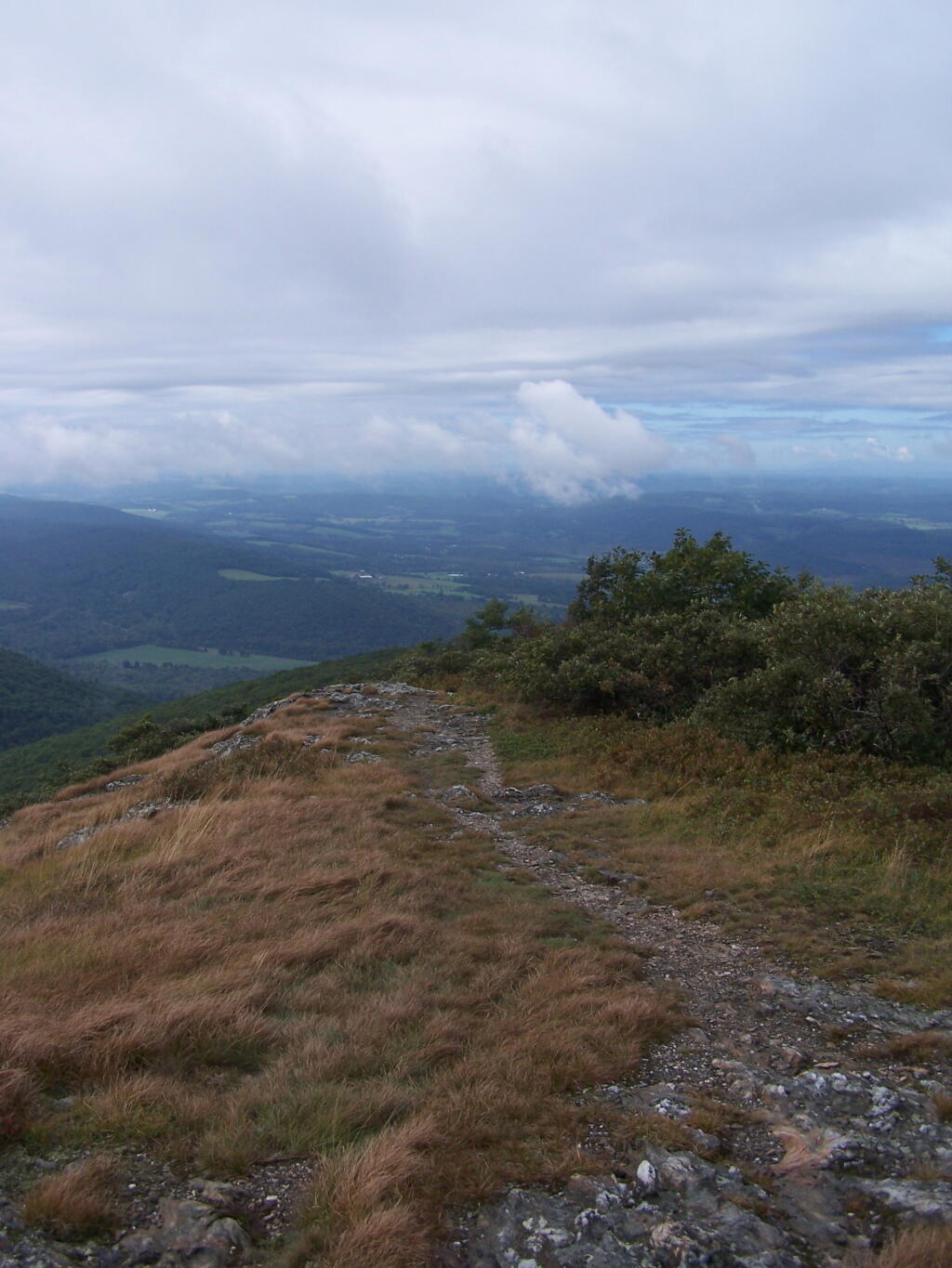
Once atop the mountain, it was still foggy and damp, but it was clearing out.
As the morning progressed, the sky got progressively clearer.
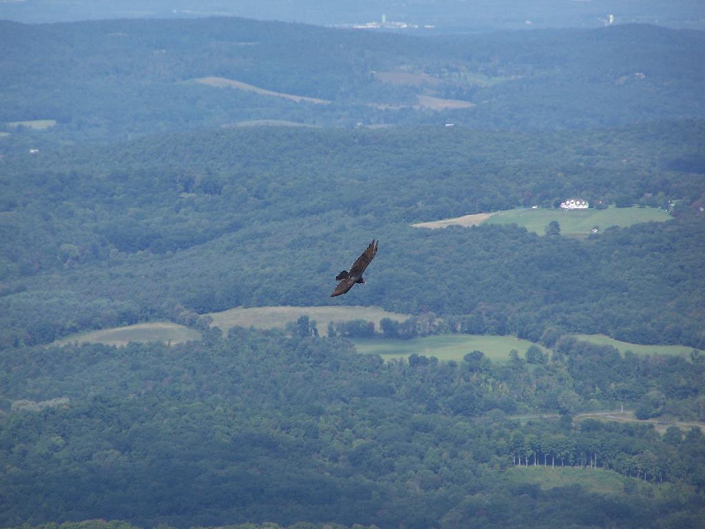
There was a Turkey Vulture flying over the landscape.
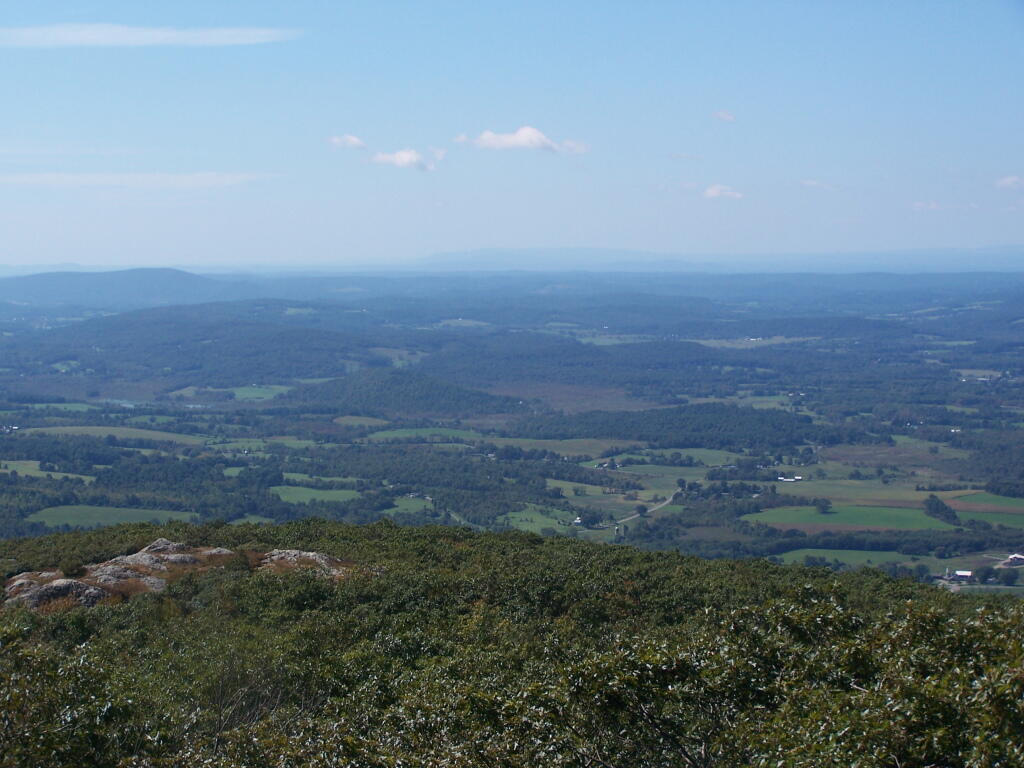
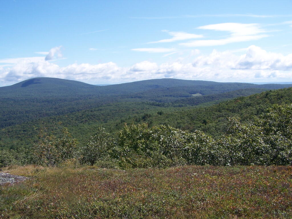
When it cleared out the views where beautiful, but with still quite a bit of haze remaining from the morning. I want to be up here one day in the fall when it is much clearer out. Maybe spend the night at the cabin, and enjoy the sunset and the leaves under the morning light.
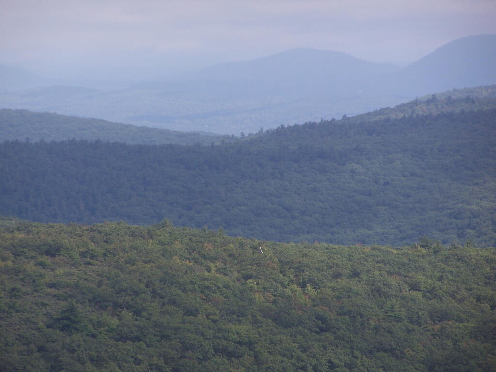
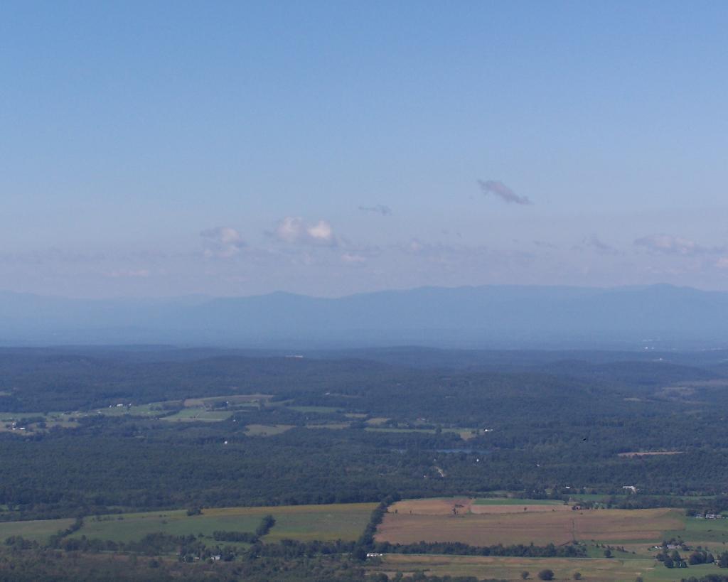
Brace Mountain and Ashley Hill as seen from Alander Mountain.
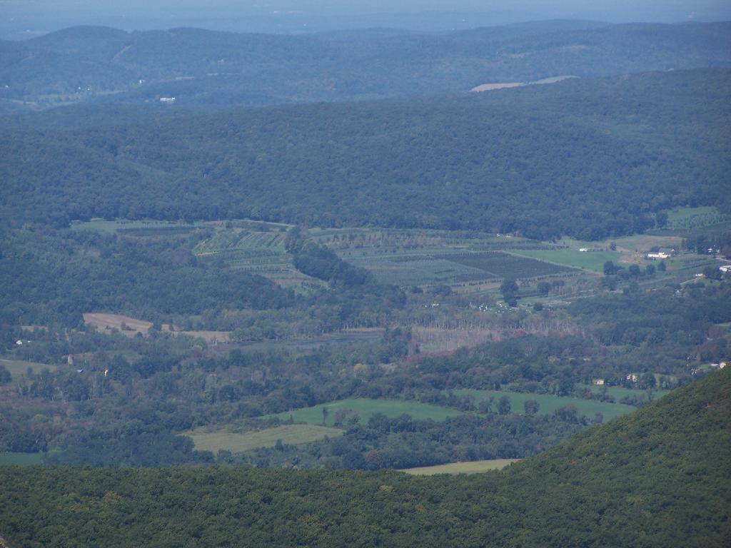
Farms and other uses throughout Copake Valley looking down towards Millerton.
Apple Orchards and Swamps. This is similar from the views from Sunset Point that I looked down from during a springtime hike.
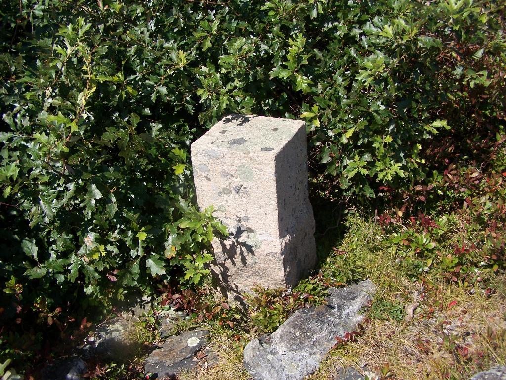
Alander Mountain is partially in Massachusetts and partially in New York. The peak is in Massachusetts.
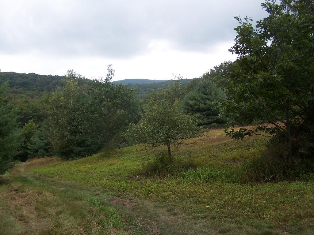
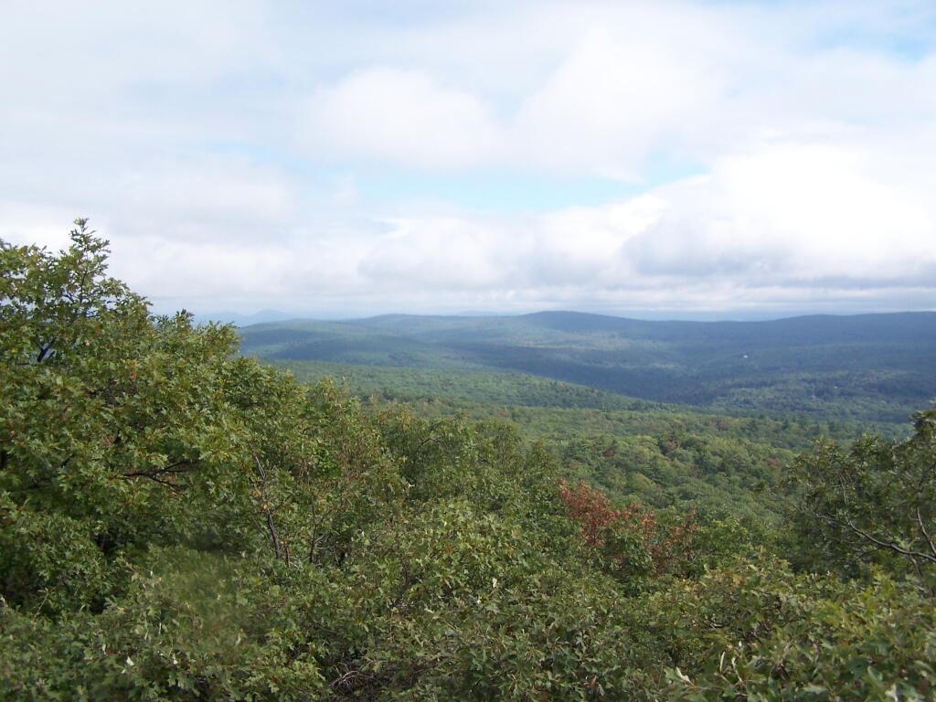
The lower unamed plateau I hiked along on the South Taconic trail. By 2:30 in the afternoon it started to look like rain once again.
Returning back to the truck, it still looked like rain. You can see Alander Mountain in the background, from the area near the Mt Washington forest headquarters.


![Untitled [Expires March 21 2025]](https://andyarthur.org//data/photo_002839_large.jpg)