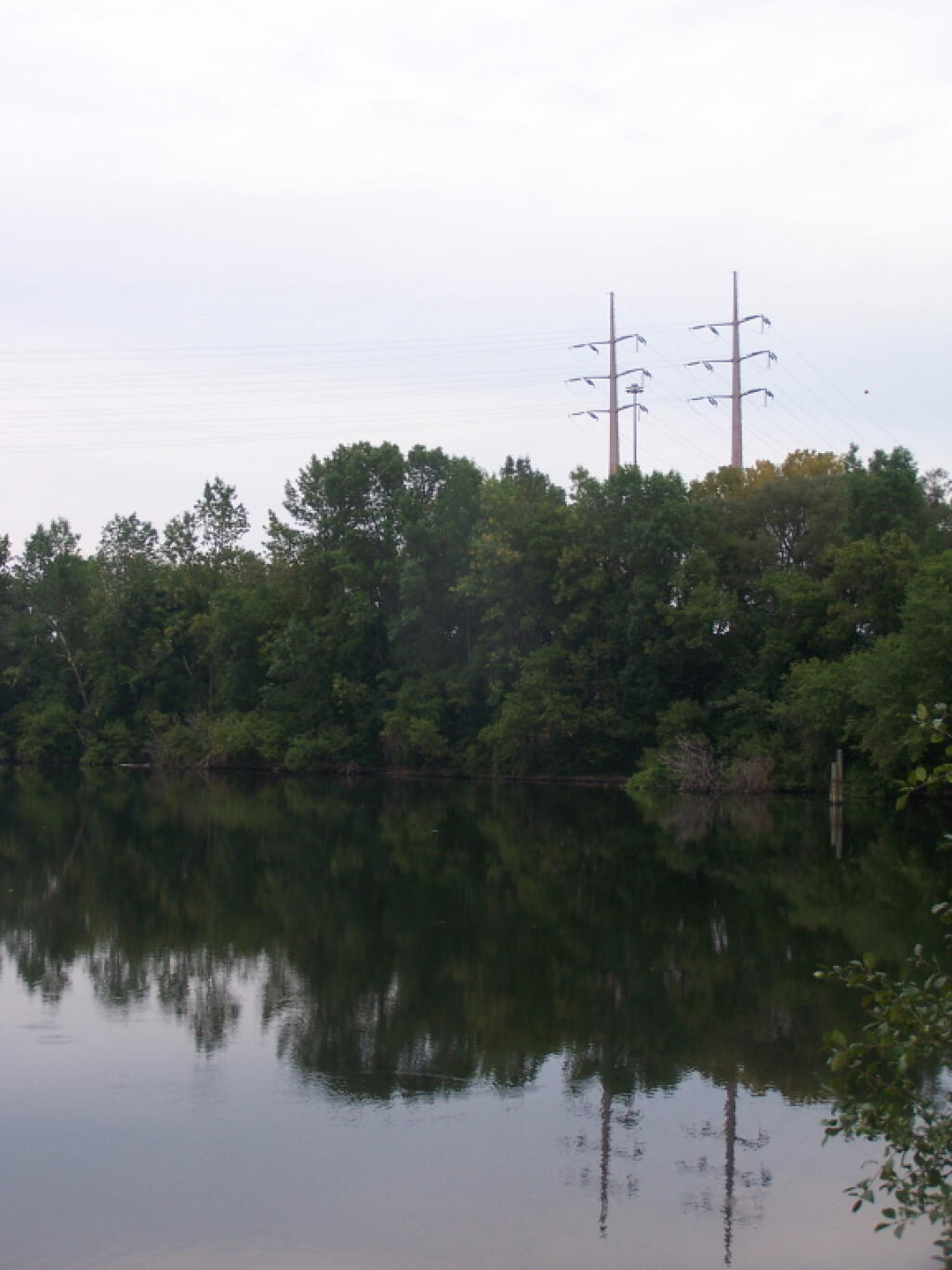
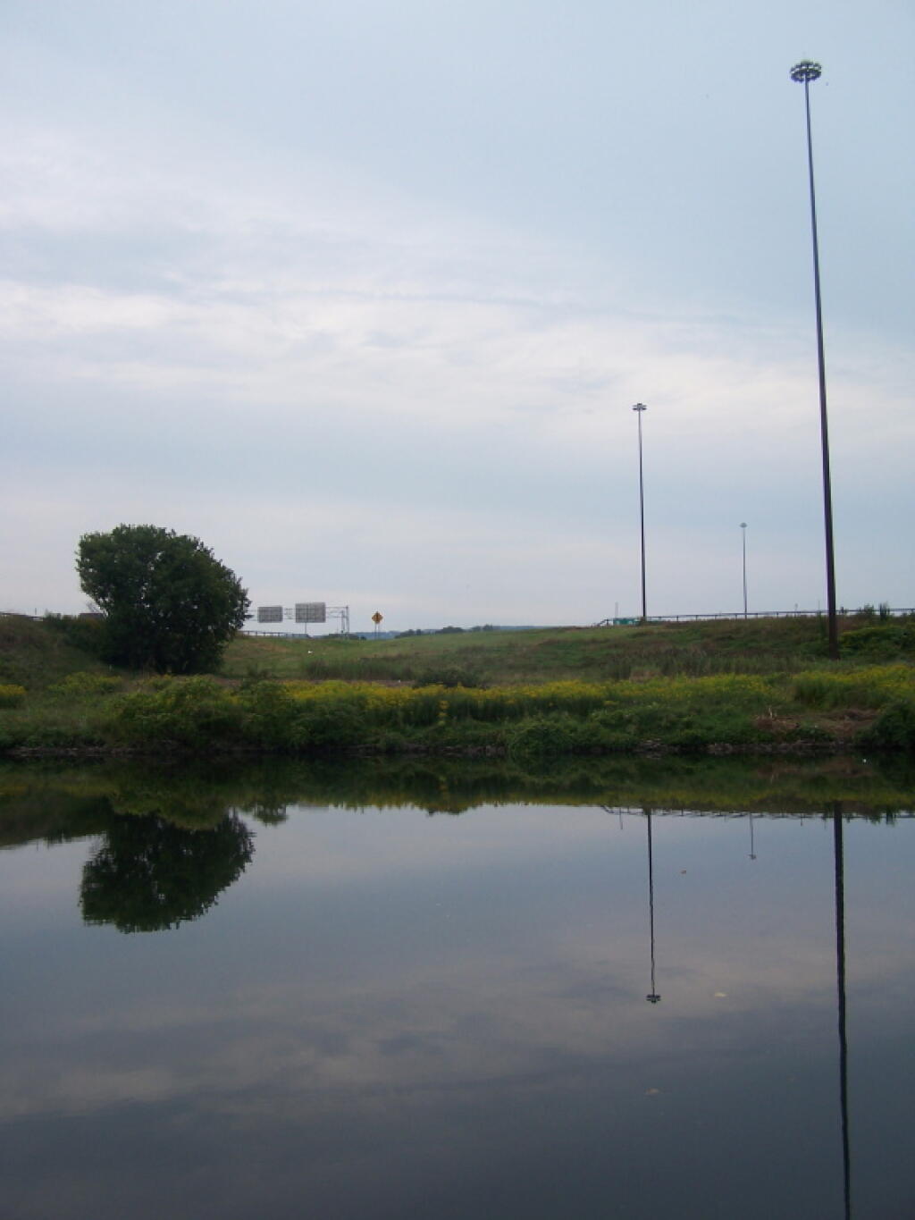
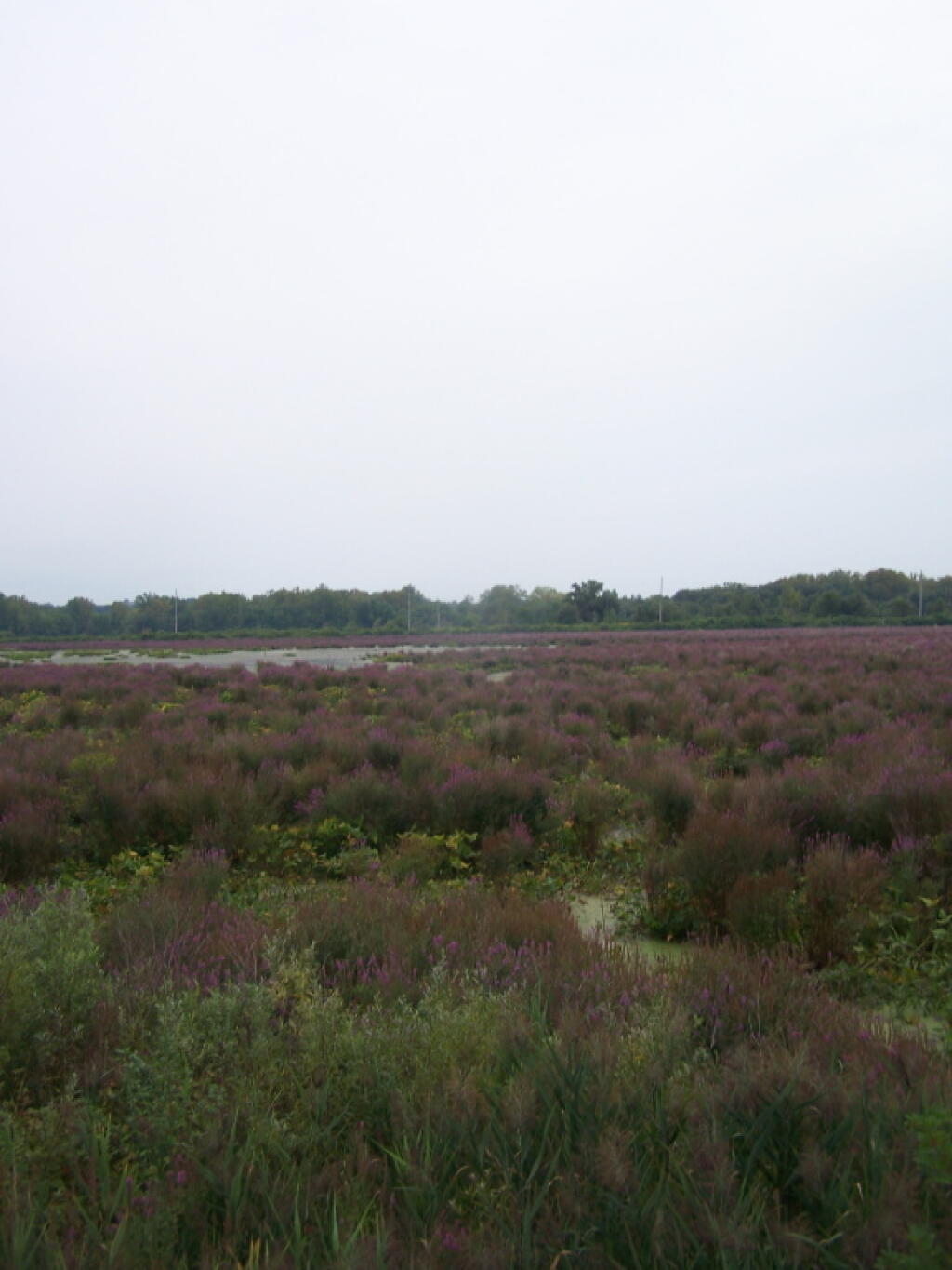
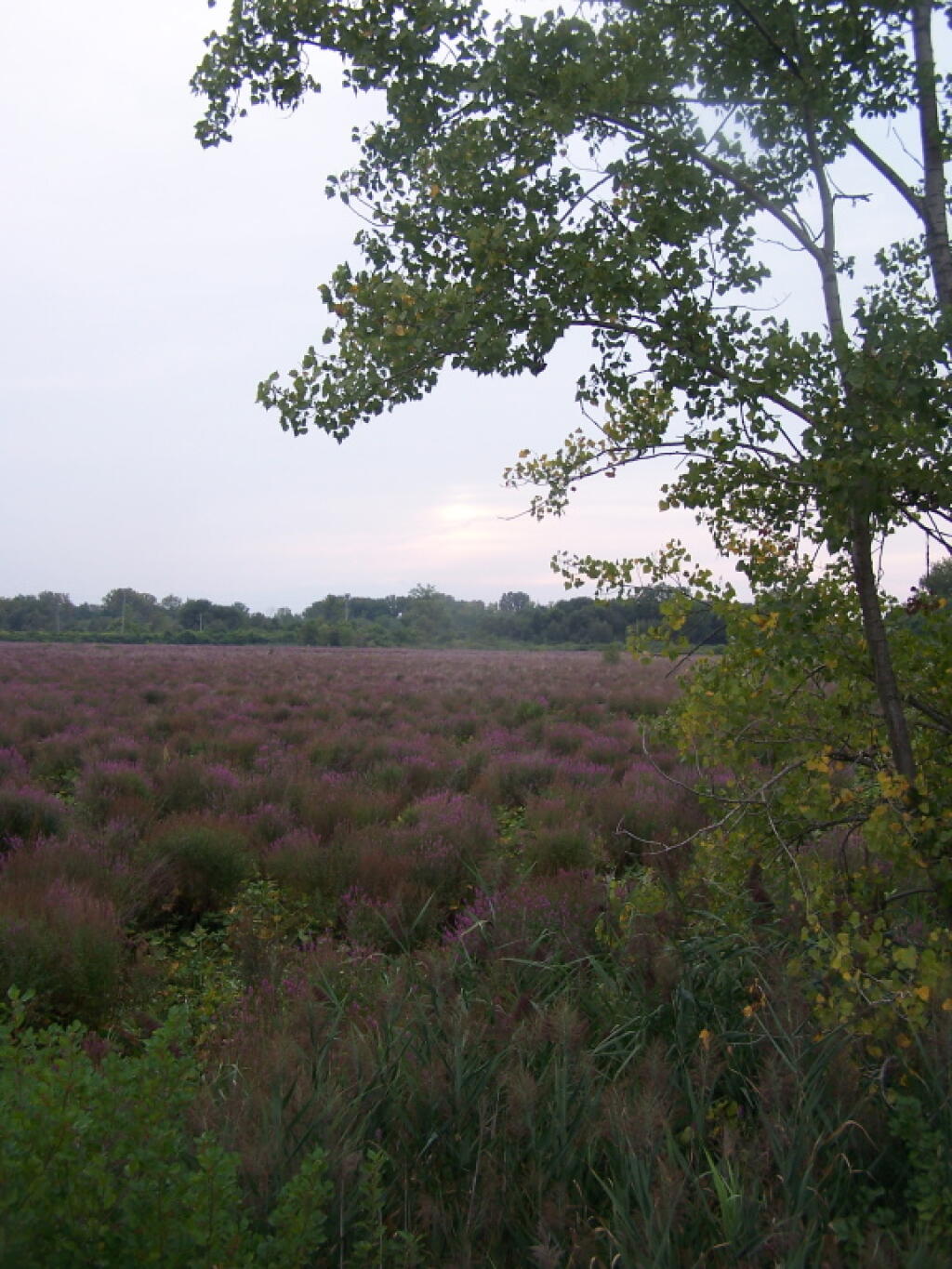
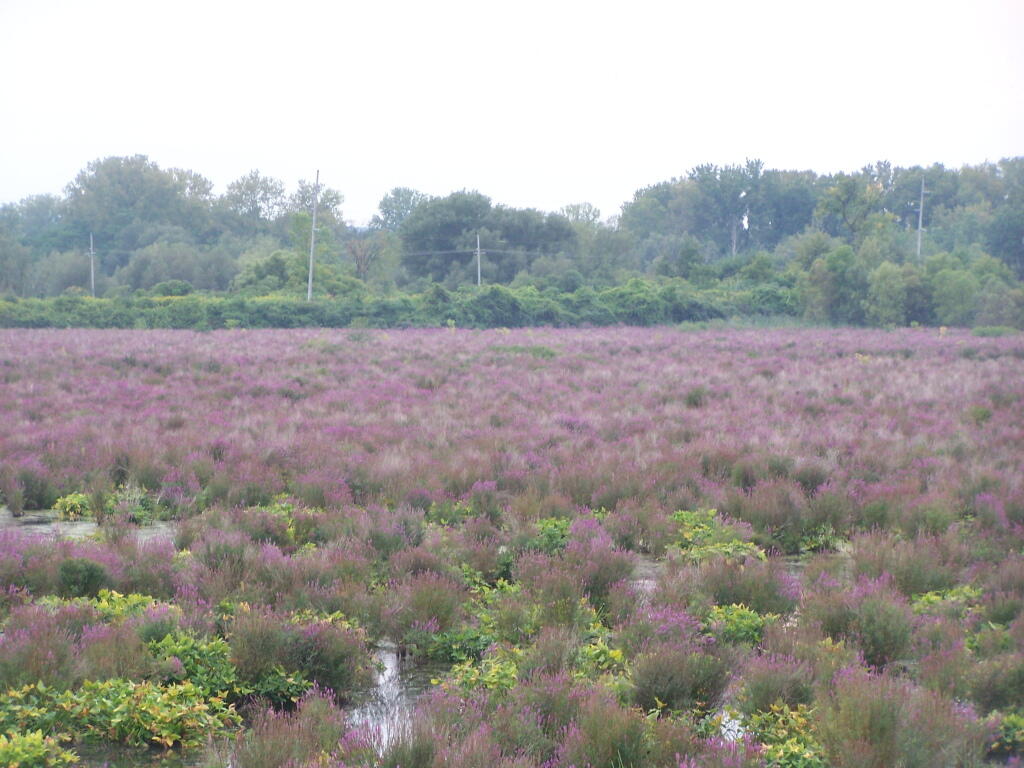
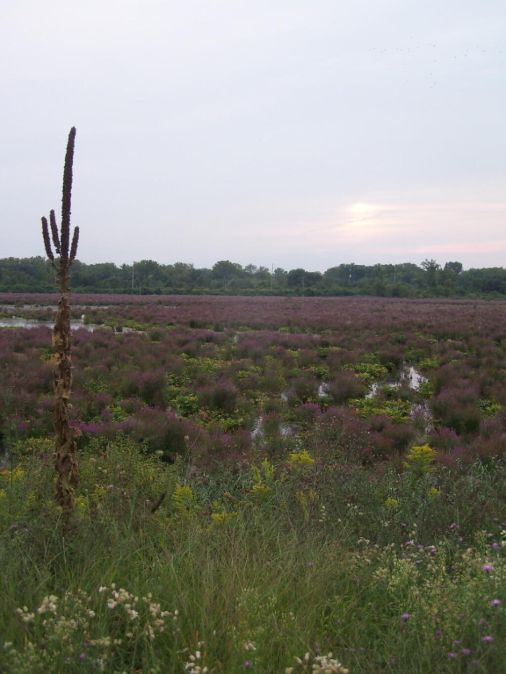
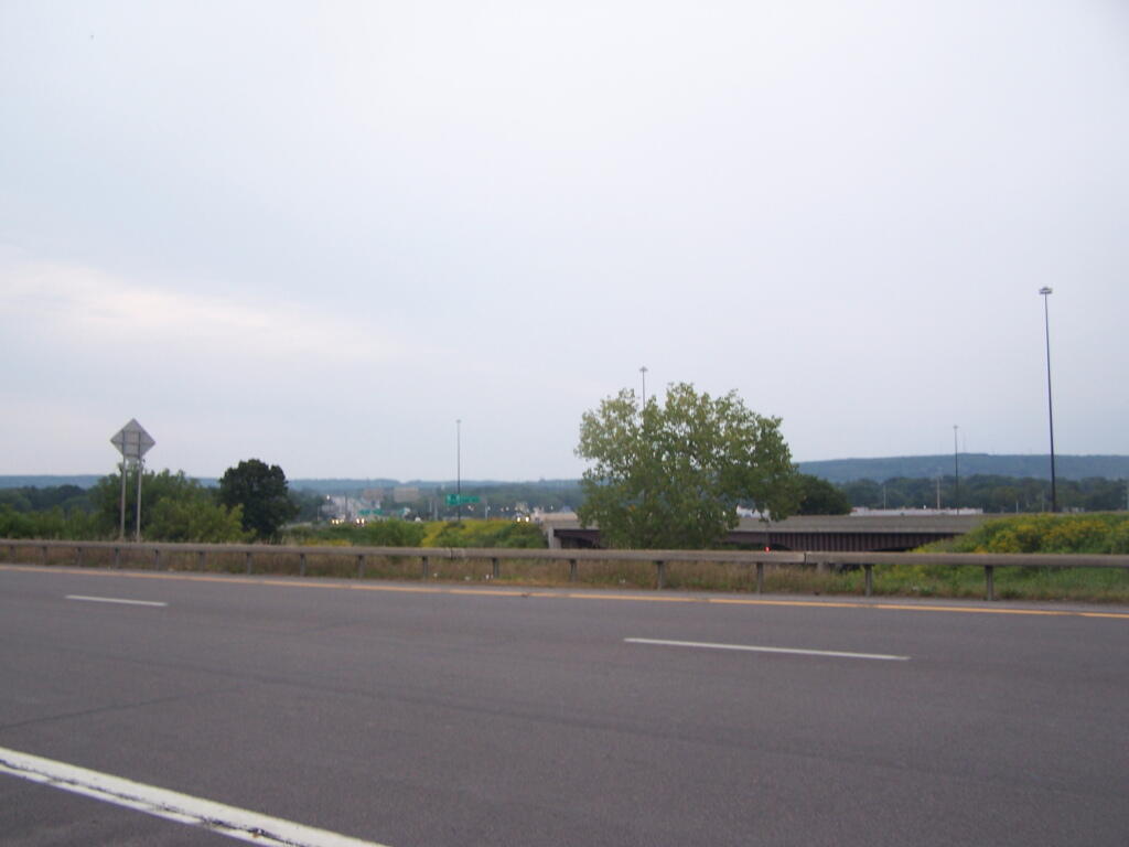
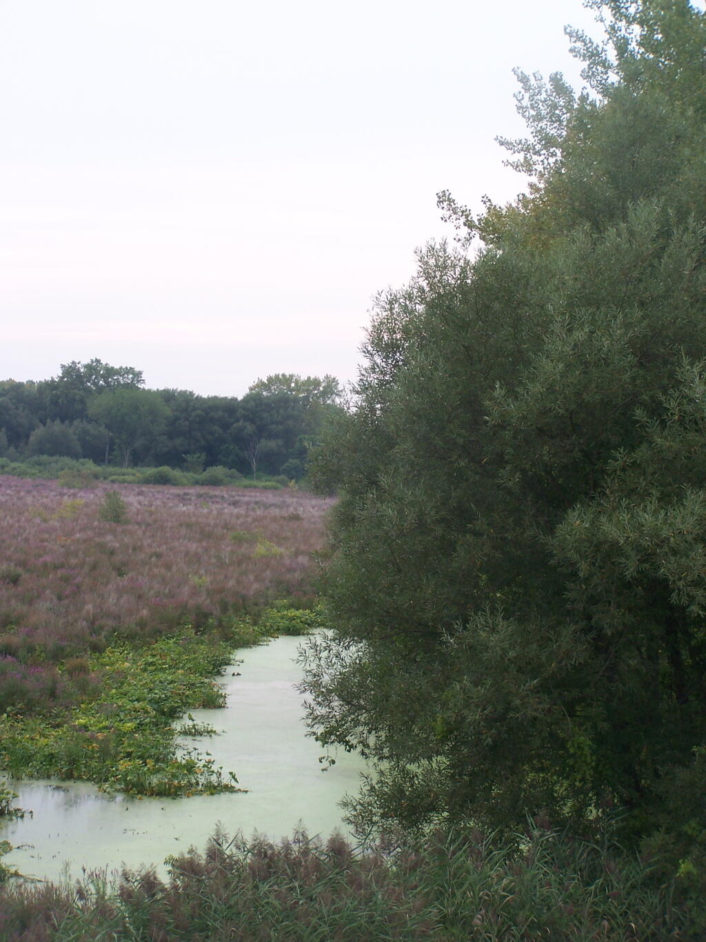
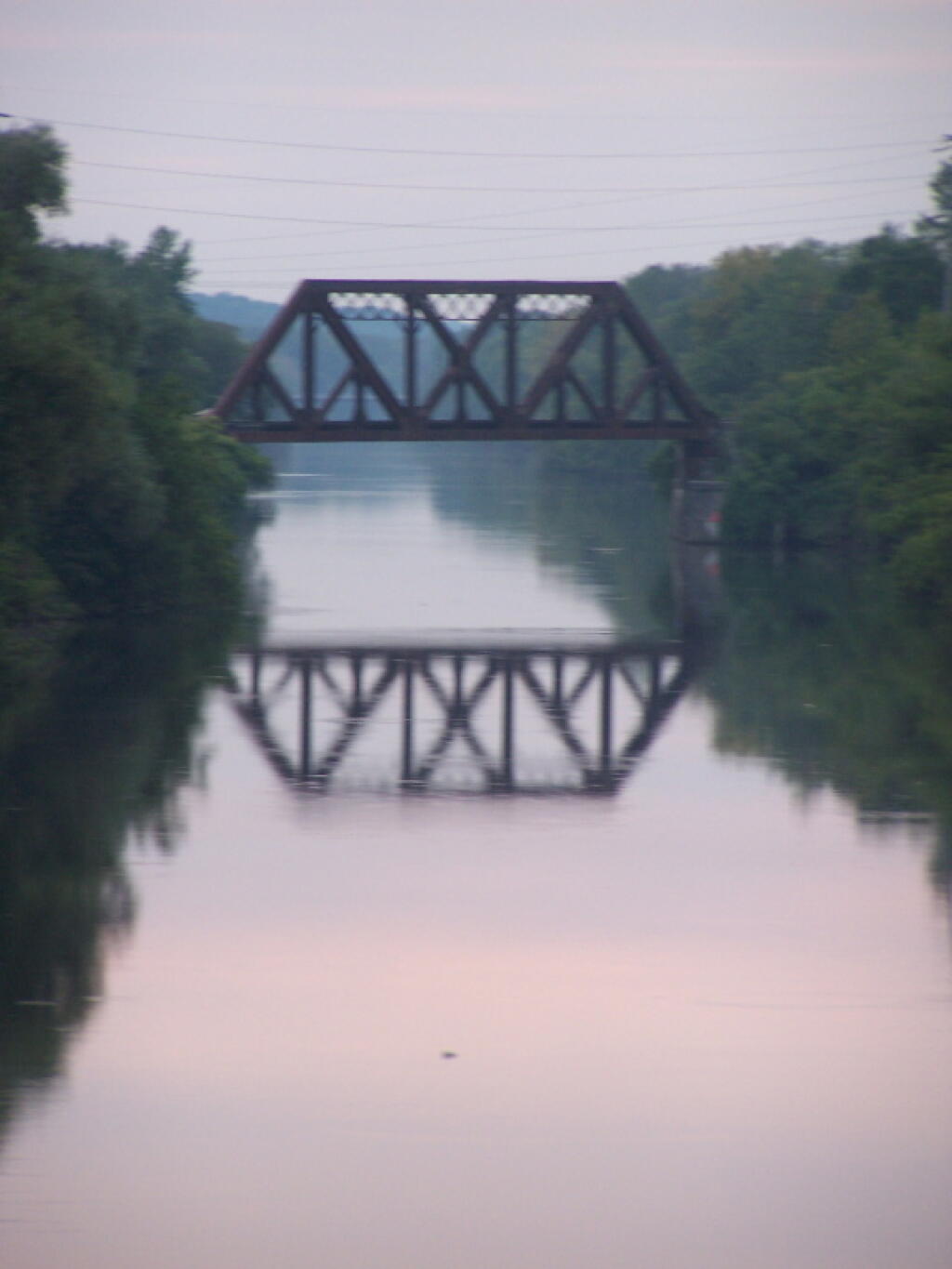
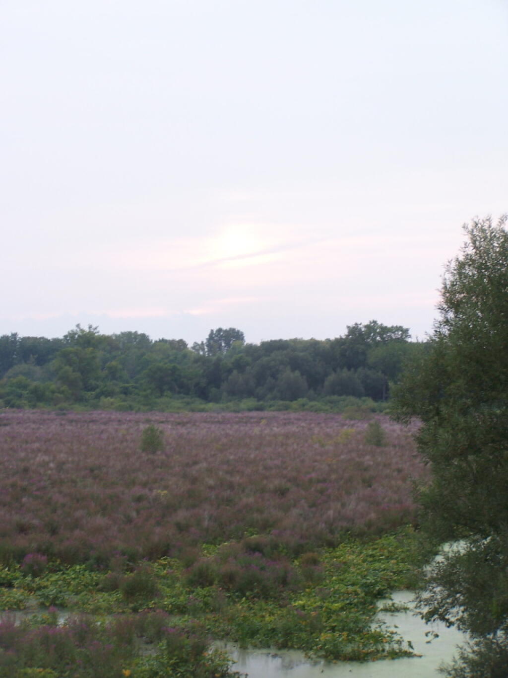
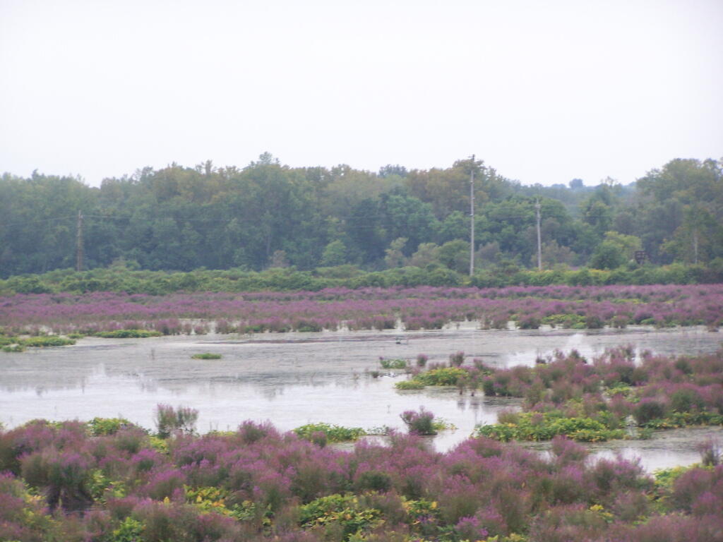
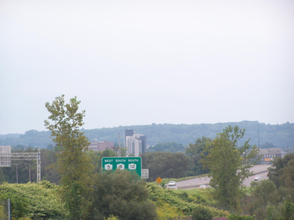
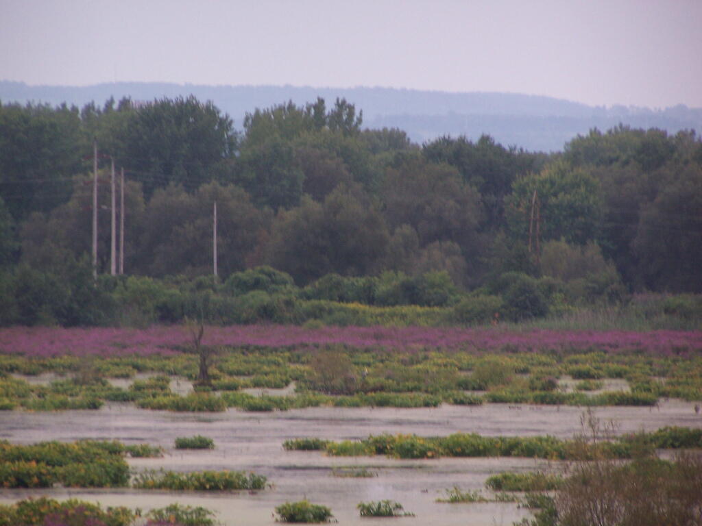
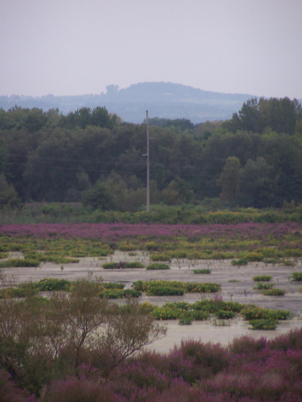
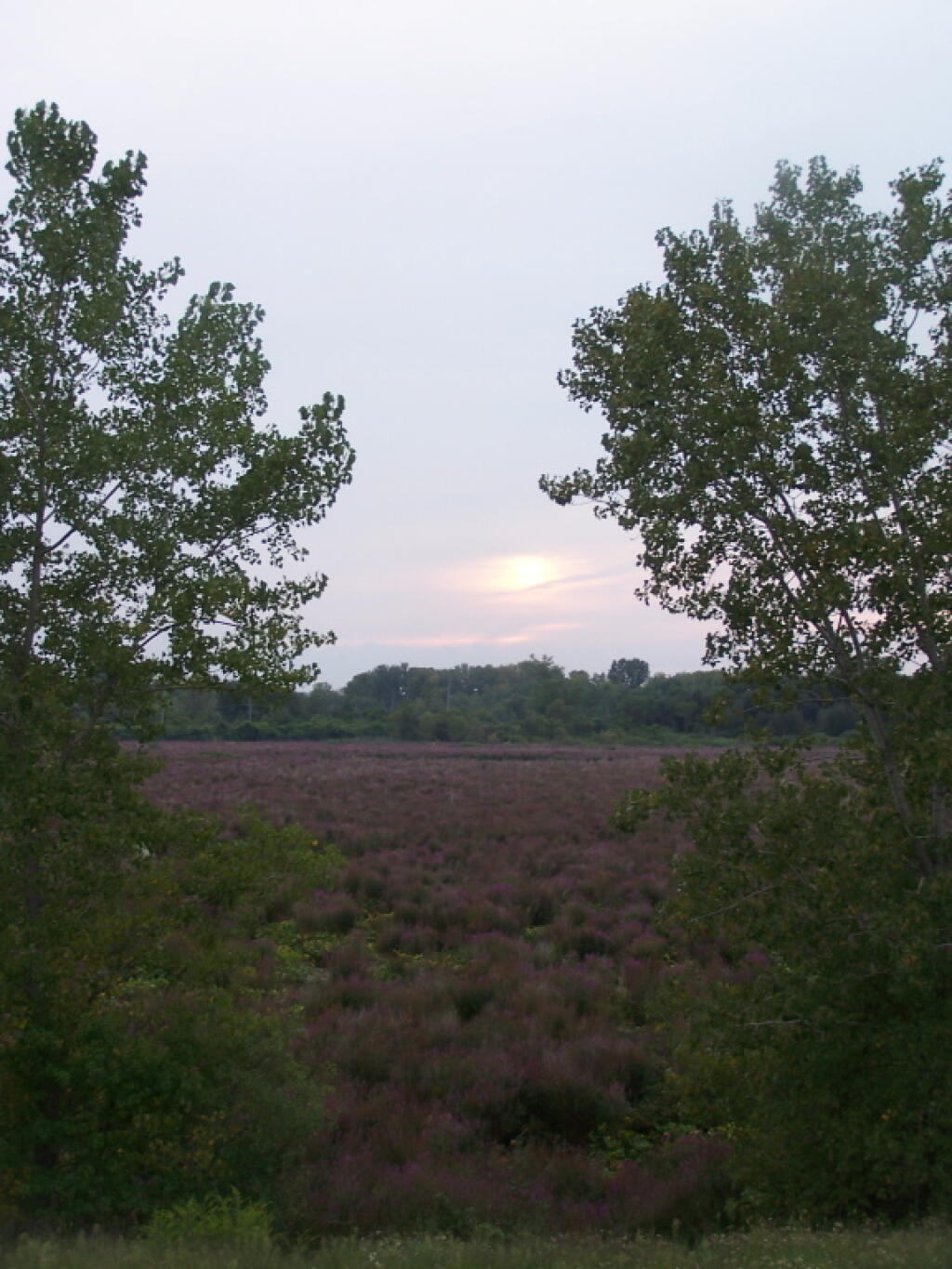
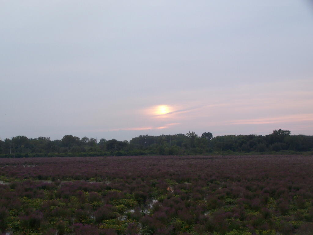
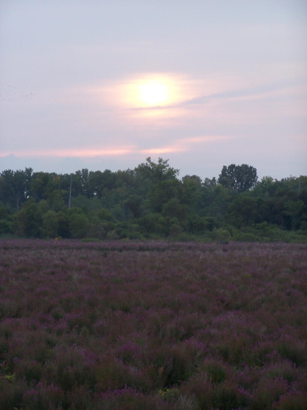
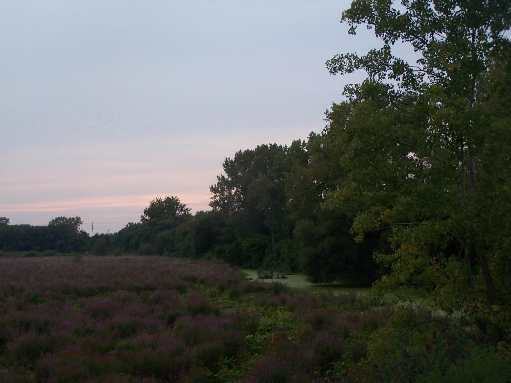
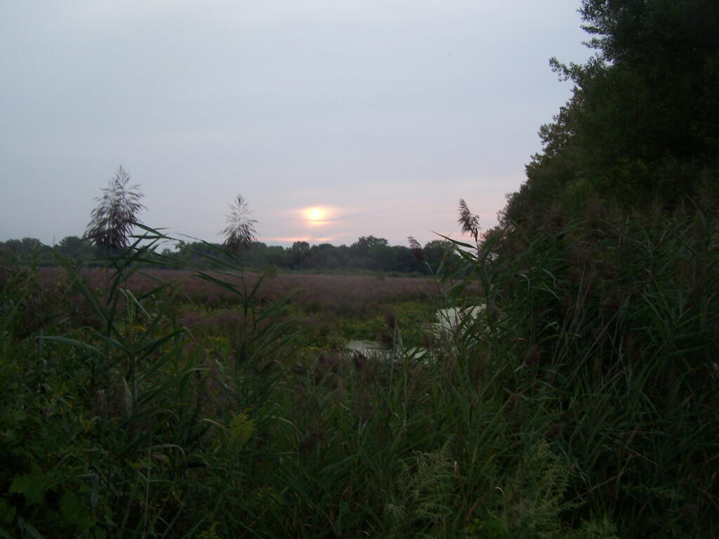
Despite the Utica Marsh being located right off of I-790, and easily viewable from a car speeding into Utica from the North, it’s not quite as easy to get to as a pedestrian, as the former Barnes Avenue Bridge is closed off to all but pedestrians. You now have three options if you want to see the Utica Marsh up and close:
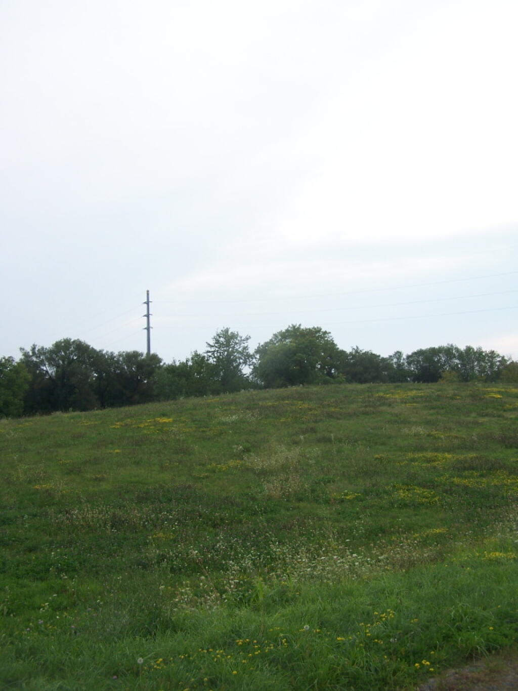
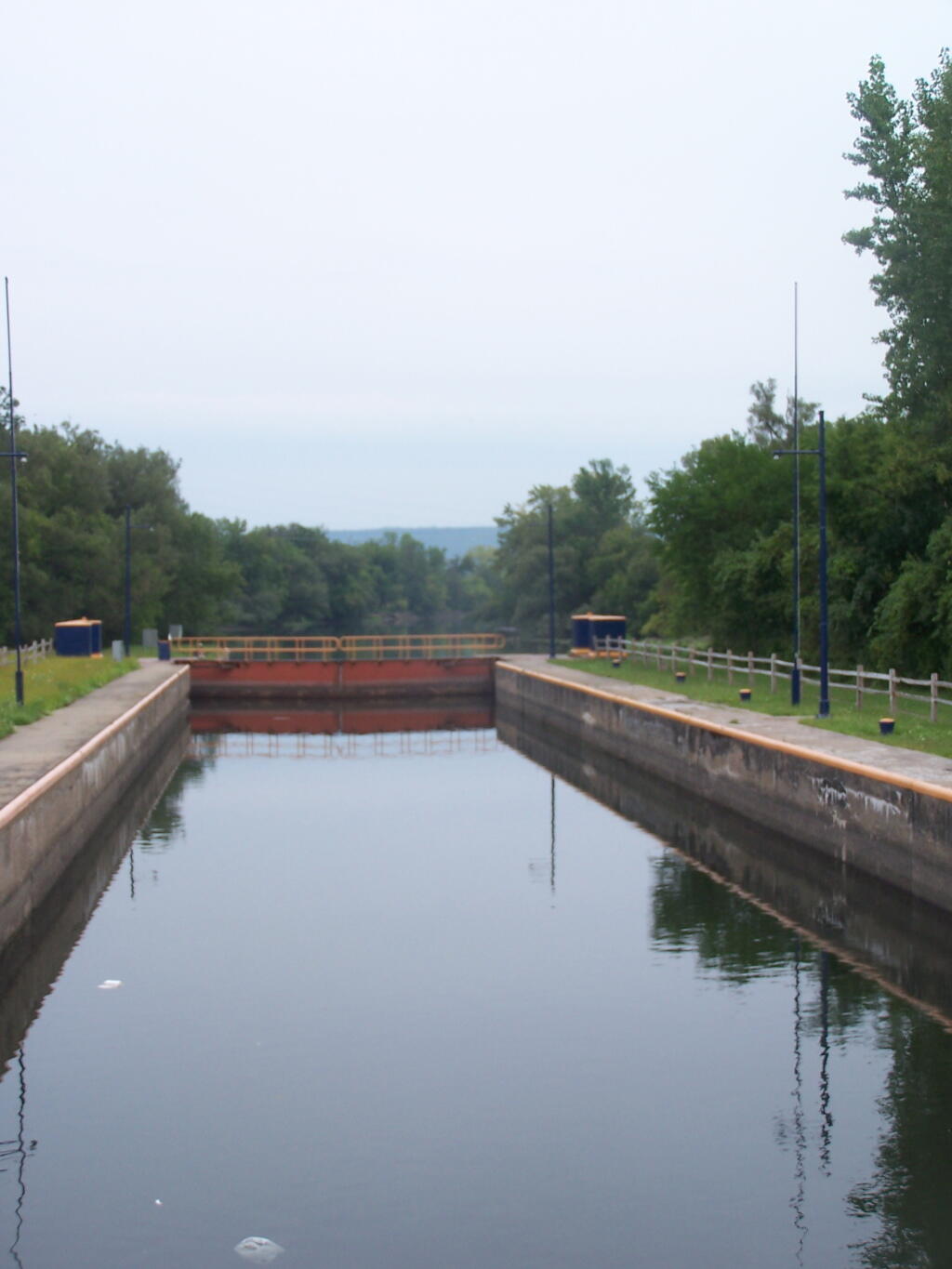
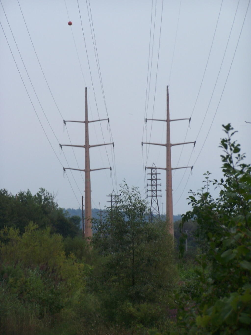
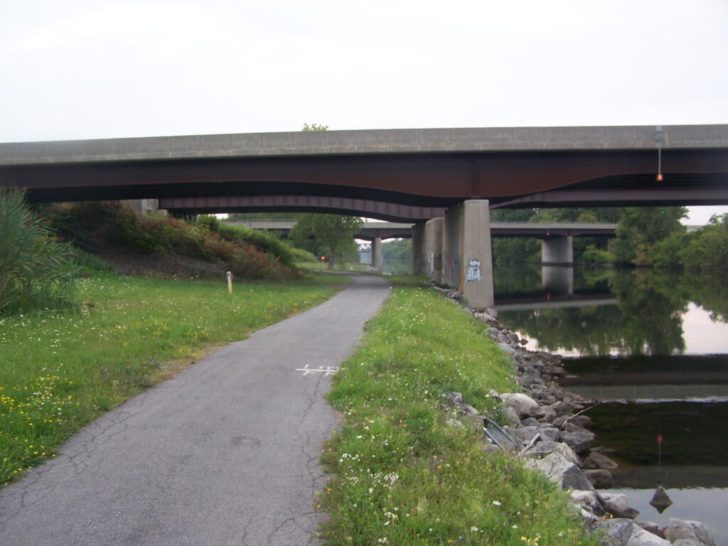
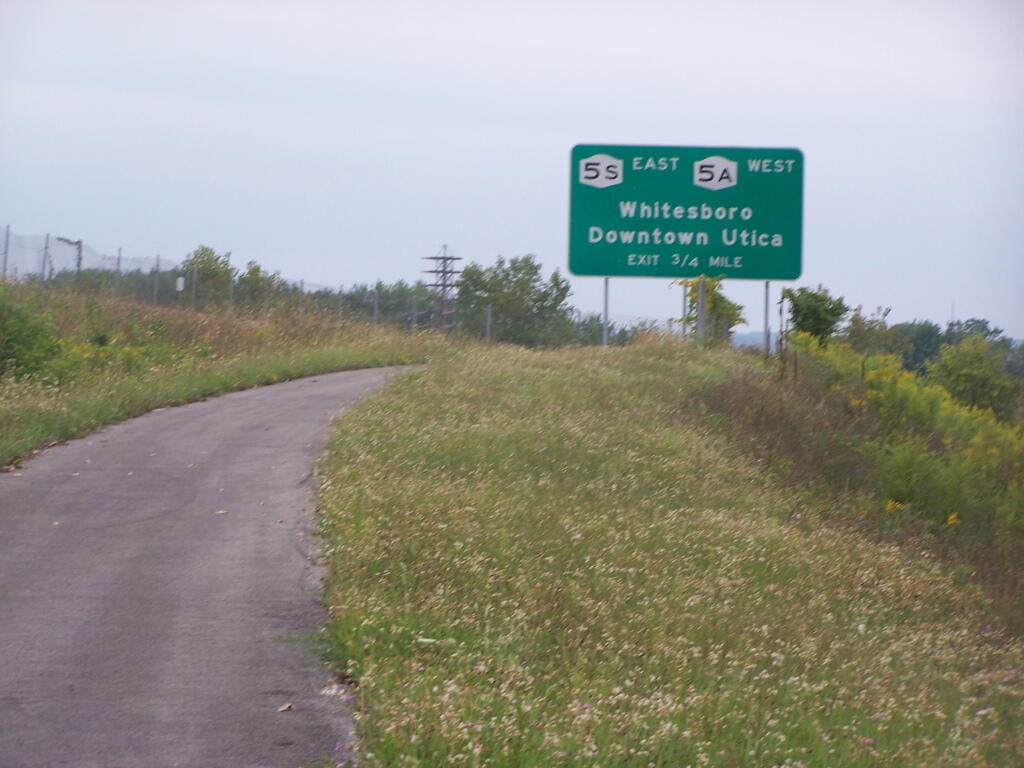
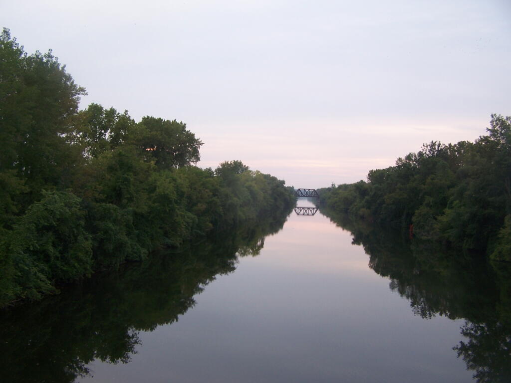
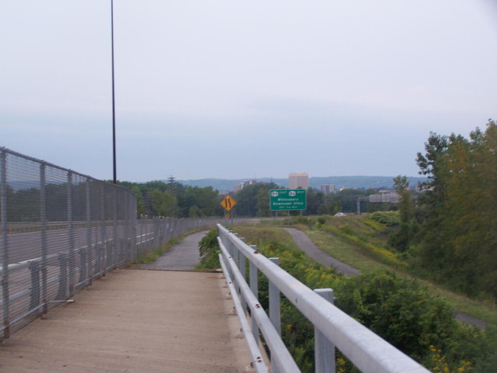
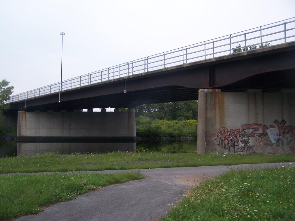
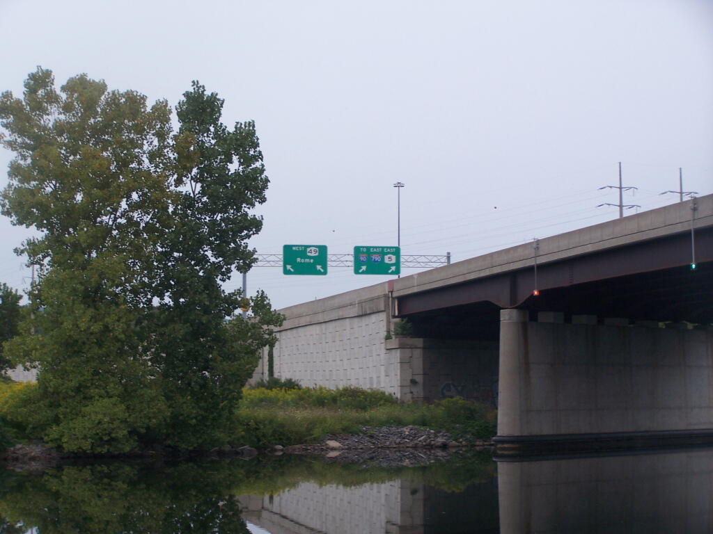
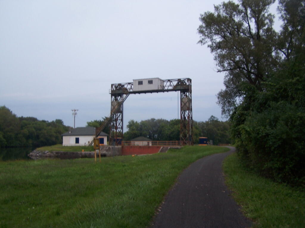
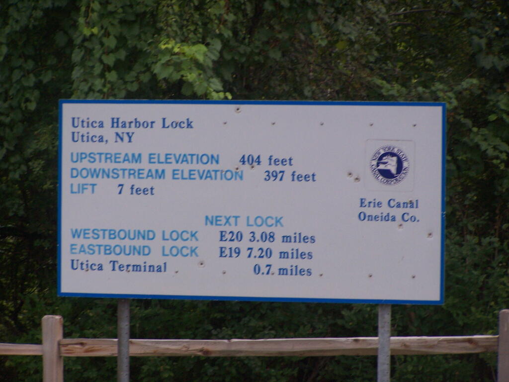
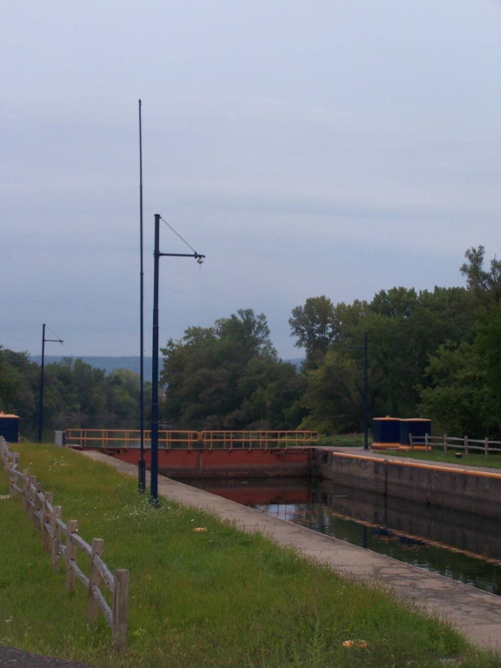
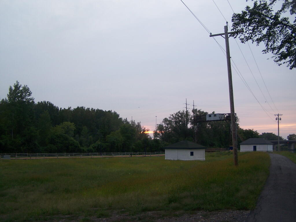
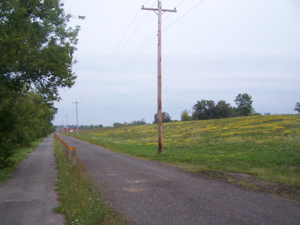
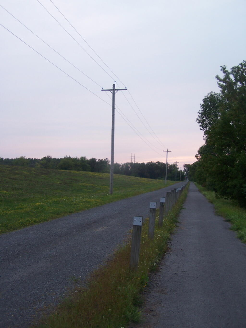
- Park at the North Genesee Street Park and Ride / Harbor Lock Area, and follow Erie Canal Bikepath west, past NYSDOT building, past an old Utica garbage dump, over the Utica Harbor Lock, under I-790 to Utica Marsh. Roughly 1 mile.
- Park at the end of Barnes Avenue, and hike over abandoned Barnes Avenue Bridge along abandoned junkyard, to Utica Marsh. Roughly 1.5 miles to over look, but views along western marsh when you hike in this way.
- Kayak from somewheres on Erie Canal (e.g. somewheres around Utica, Whitesboro, Rome) to underneath most westernly I-790 bridge, pull out of water, walk like 100 ft to Marsh overlook.
I didn’t have my kayak with me this particular weekened, so I chose the Park and Ride lot. Nice hike, and you get to check out the Utica Harbor Lock — and actually cross it too. I didn’t particularly care for the gritty urban neighborhood that Barnes Avenue is located in, and didn’t feel safe parking there. So I recommend parking at the North Genesee Avenue Park and Ride Lot, which is just south of the Erie Canal, when you get off the Thruway.
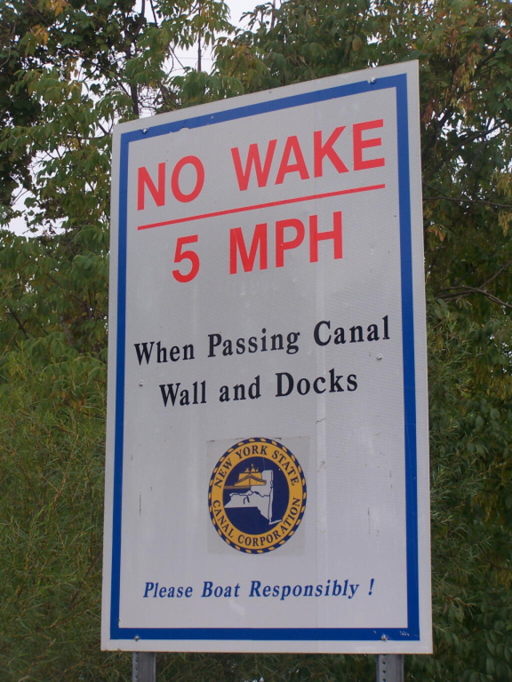
You might want to include this in a kayaking trip along the beautiful Erie Canal in this area. While this is urban Utica, the reality the canal is cut into muck soils of the Mohawk River headwaters, and while much of the land is either landfilled or tiled for agriculture around it, it’s still very beautiful kayak ride with only one lock between South Utica and Rome.
This is a really good trip to make when returning from the Adirondacks in the evening — take NY 12 from NY 28 South to the Thruway. Or if your heading West to East in NY State, not a bad stop for an hour or two. Or you can head North from Madison County on NY 8. All worth the trip!
