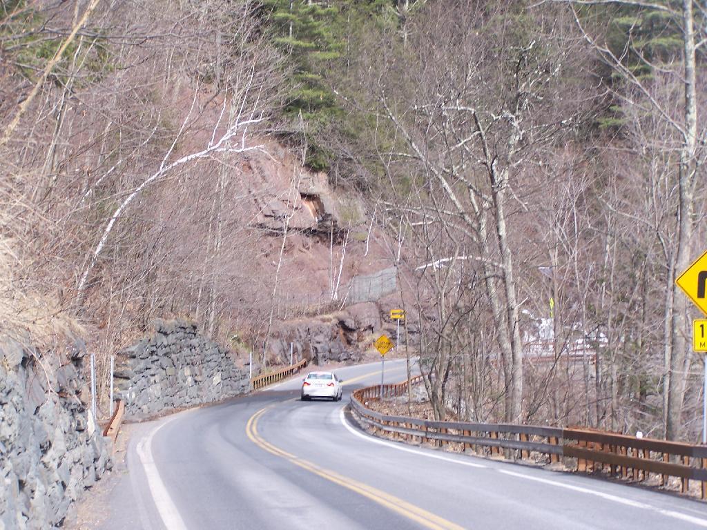
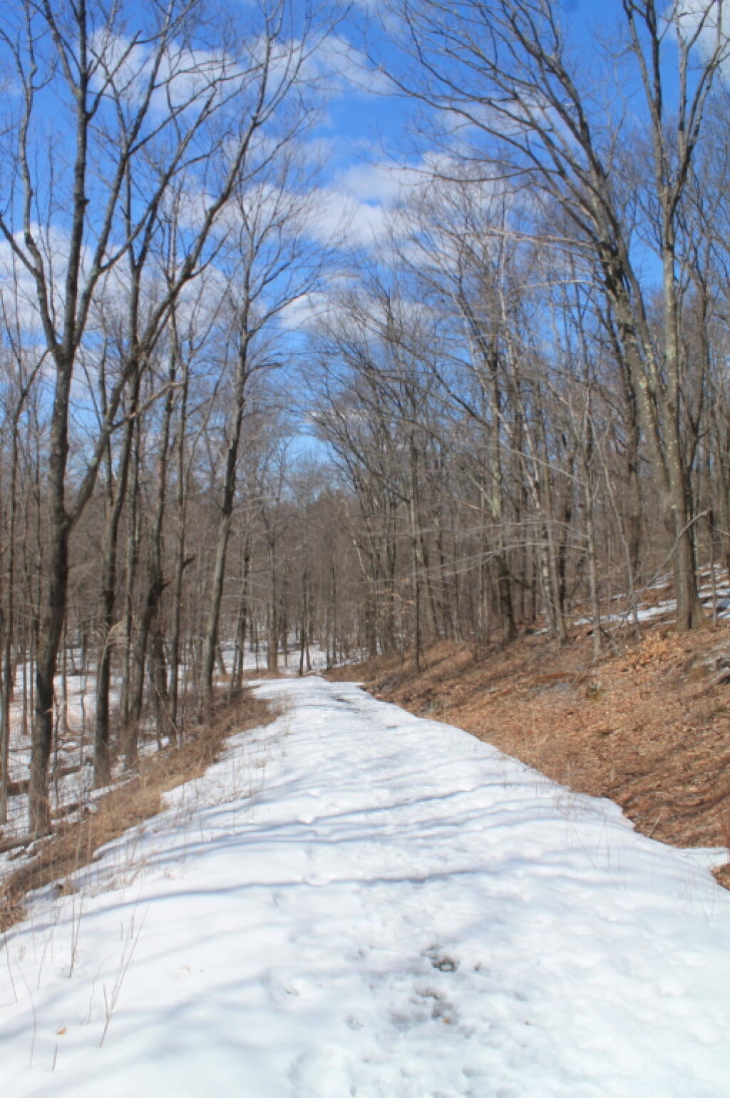
Descending NY 23A
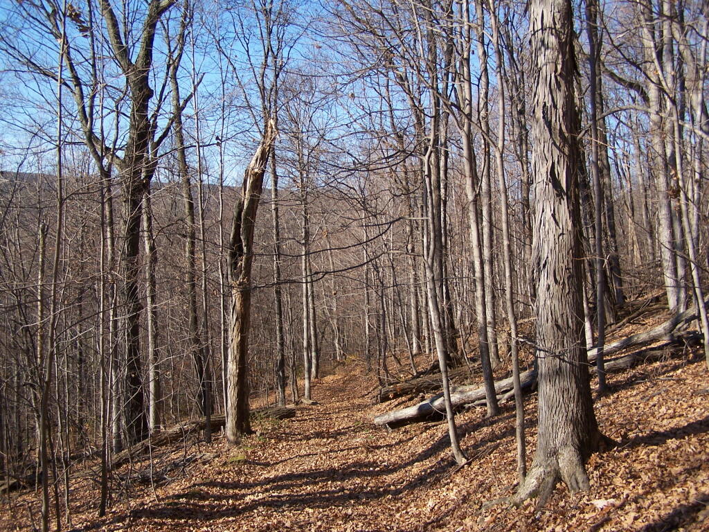
The "first" portion of the trail involves hiking along a narrow section of NY 23A down to the official trailhead.
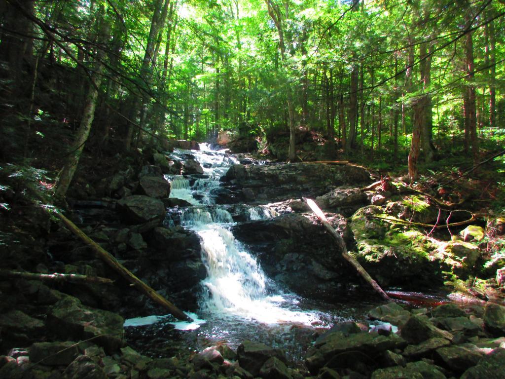
Taken on Saturday March 27, 2010 at Kaaterskill Falls.
The "first" portion of the trail involves hiking along a narrow section of NY 23A down to the official trailhead.
Taken on Saturday March 27, 2010 at Kaaterskill Falls.I went for a walk at Bennett Hill on a warm afternoon in Novmeber. Here, walking along the pastures that run along the border of Bennett Hill.
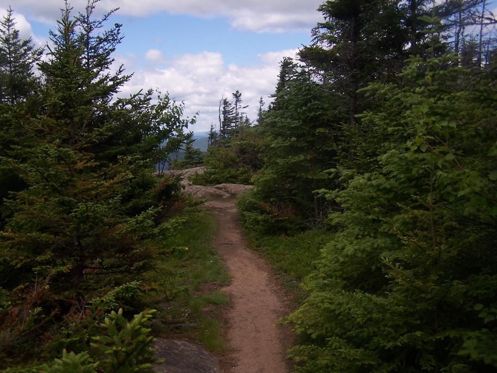
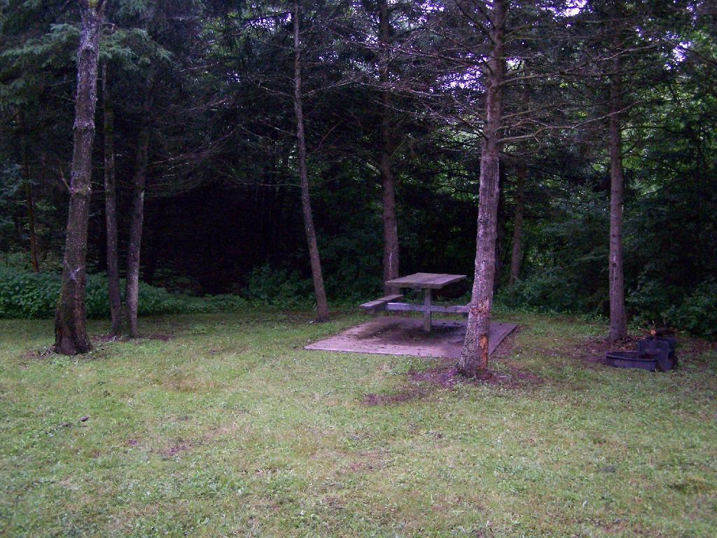
Walking along the trail.
Here is the new “Bathtub Spring” we installed as part of a local scout’s Eagle Project. This allows people to refill their water bottles or give their thirsty dog some water. I drank some, it didn’t really kill me yet. Tastes a little bit muddy/gritty.

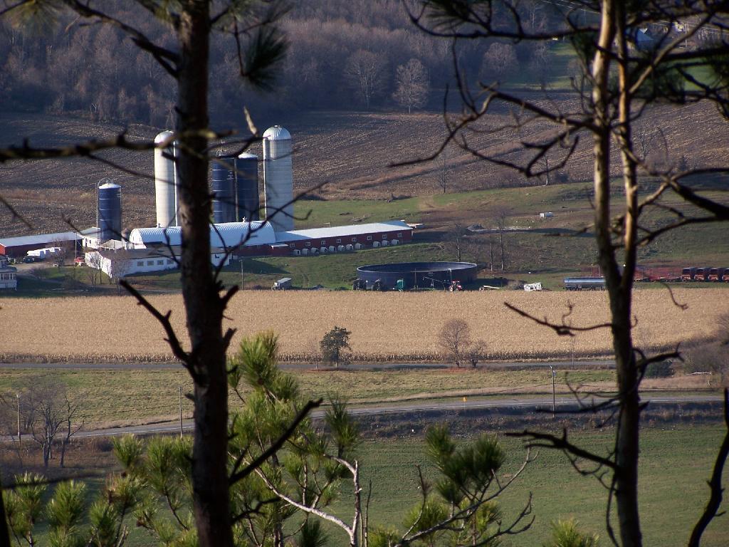
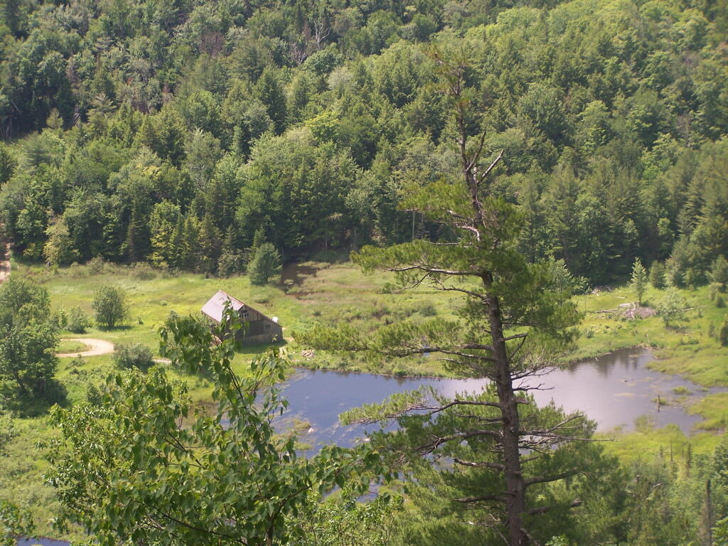
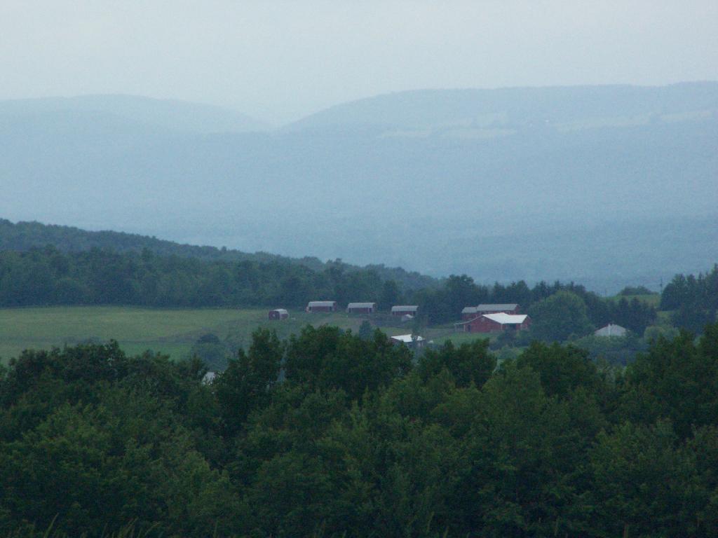
Meadow Brook Farm from the top of the hill, looking through the trees.
On the top of the hill there is a new clearing you can look out of above Clarksville.
Looking up towards the Adirondacks / Lake George area in the background, with the NYSDOT headquarters and Colonie Center closer in the foreground.
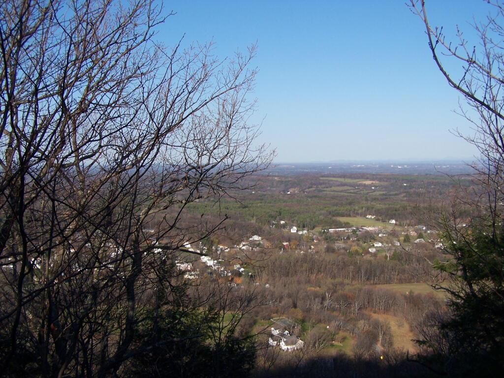
Descending the Red Trail on the Eastern side of the hill, looking out towards of Albany.
And as I headed back to the truck, the sun was setting over Cass Hill.
Here is a map.
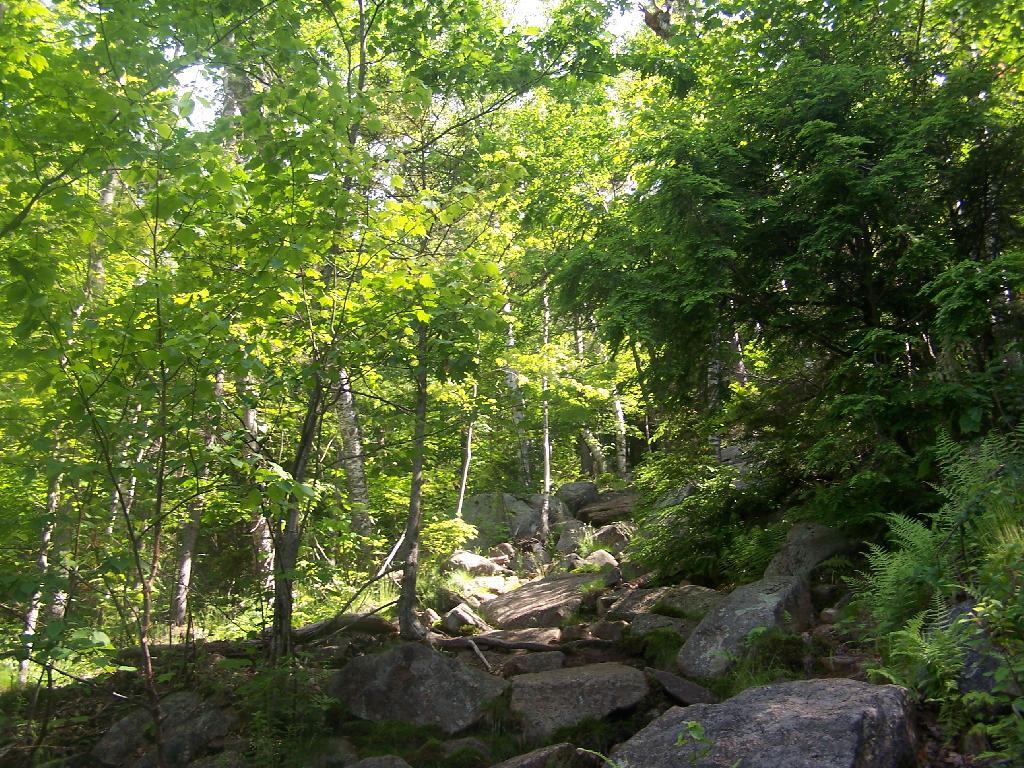
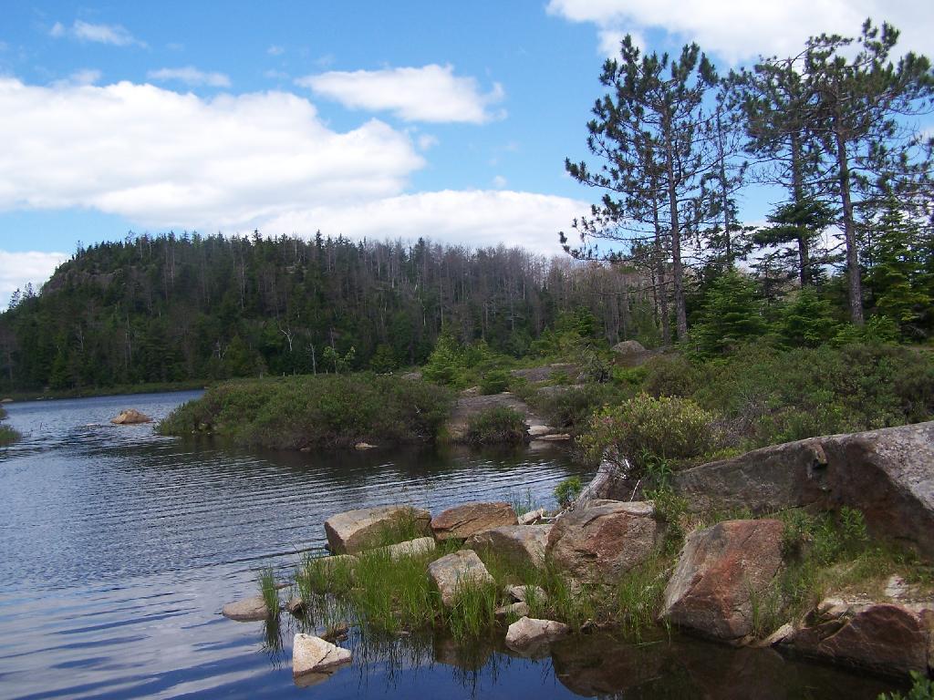
Hiking down Bash-Bish Mountain on the South Taconics Trail.
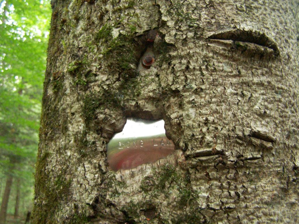
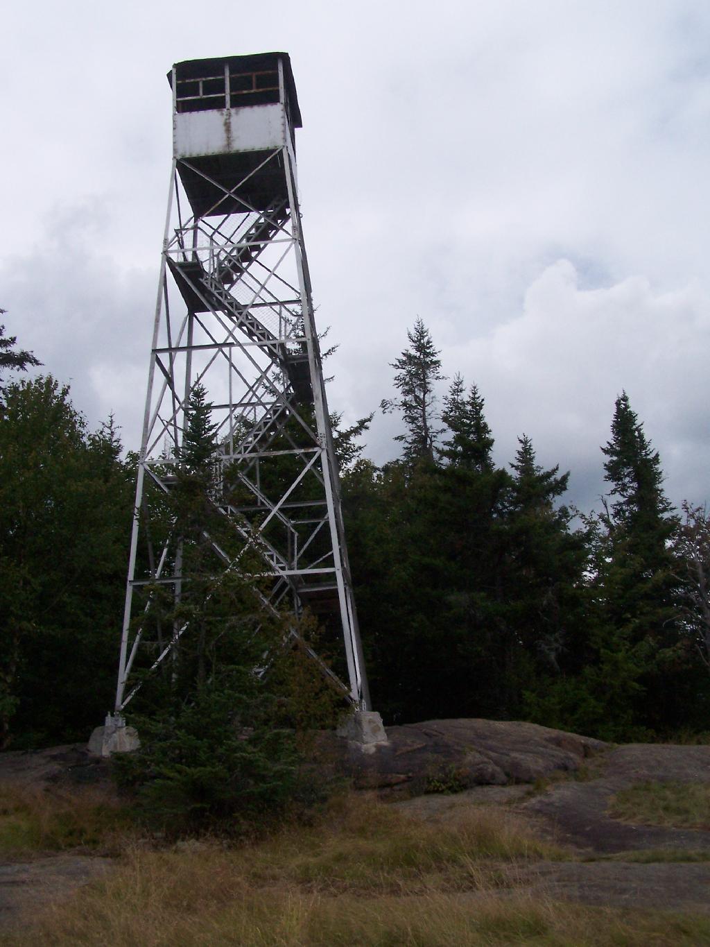
Taken on Sunday June 14, 2009 at Bash Bish Falls.There are at least three different mountains in the Adirondacks known as Owls’ Head due to their small rounded peaks, with broad cols for shoulders. This one is the one near Long Lake, that has a 30 foot LS 45 Aermotor Firetower on top of it.
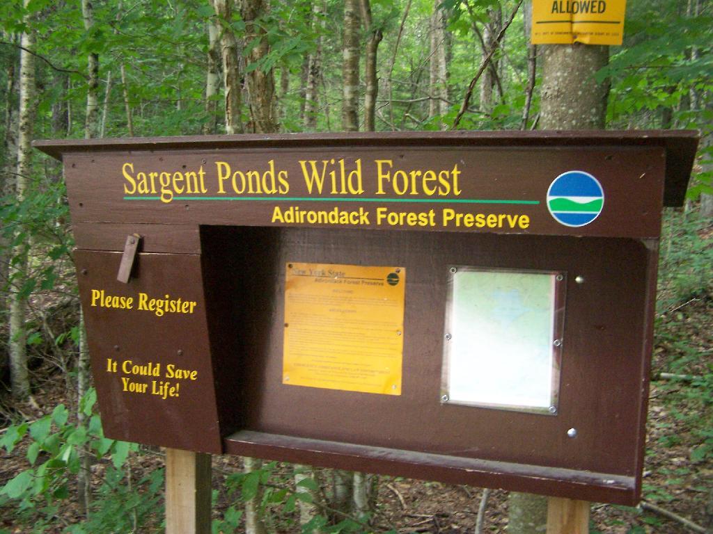
Sargent Ponds Wild Forest Kiosk. This is where you sign in, so they can have an idea on trail use, and make it easier to find you if your lost or injured.
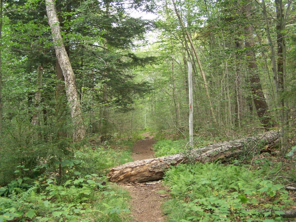
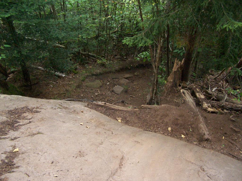
1/2 Mile In. The trail crosses this downed tree.
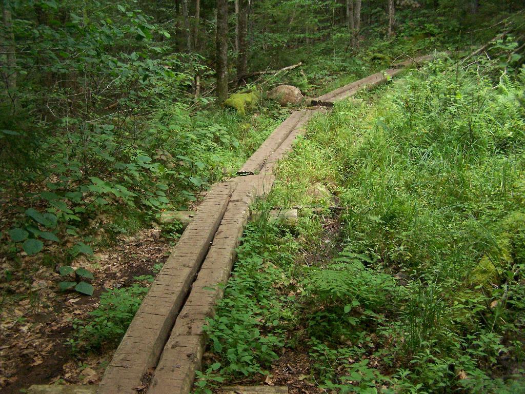
Boardwalks. Parts of the trail cross marshy areas on board walks, like these constructed on the first 3/4 mile of the trail.
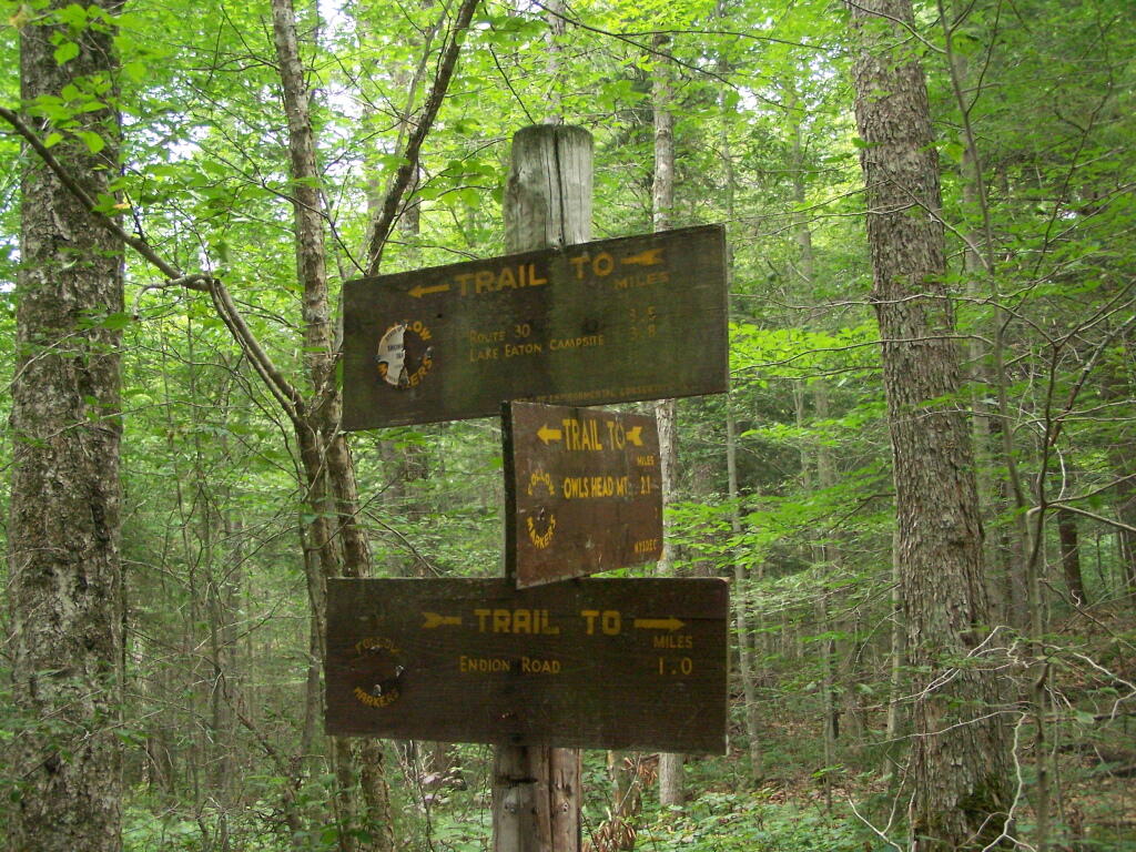
T Intersection. Make a left at one mile, to go up Owls Head. The other direction takes you to the Lake Eaton State Campground.
Grown Over Steel Trail Marker. It looks like in 1982, the state experimented with these imprinted steel trail markers along the trail, long since largely grown into the barks of the tree.
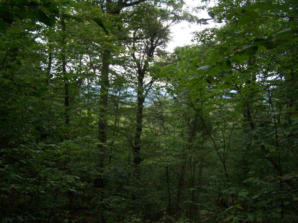
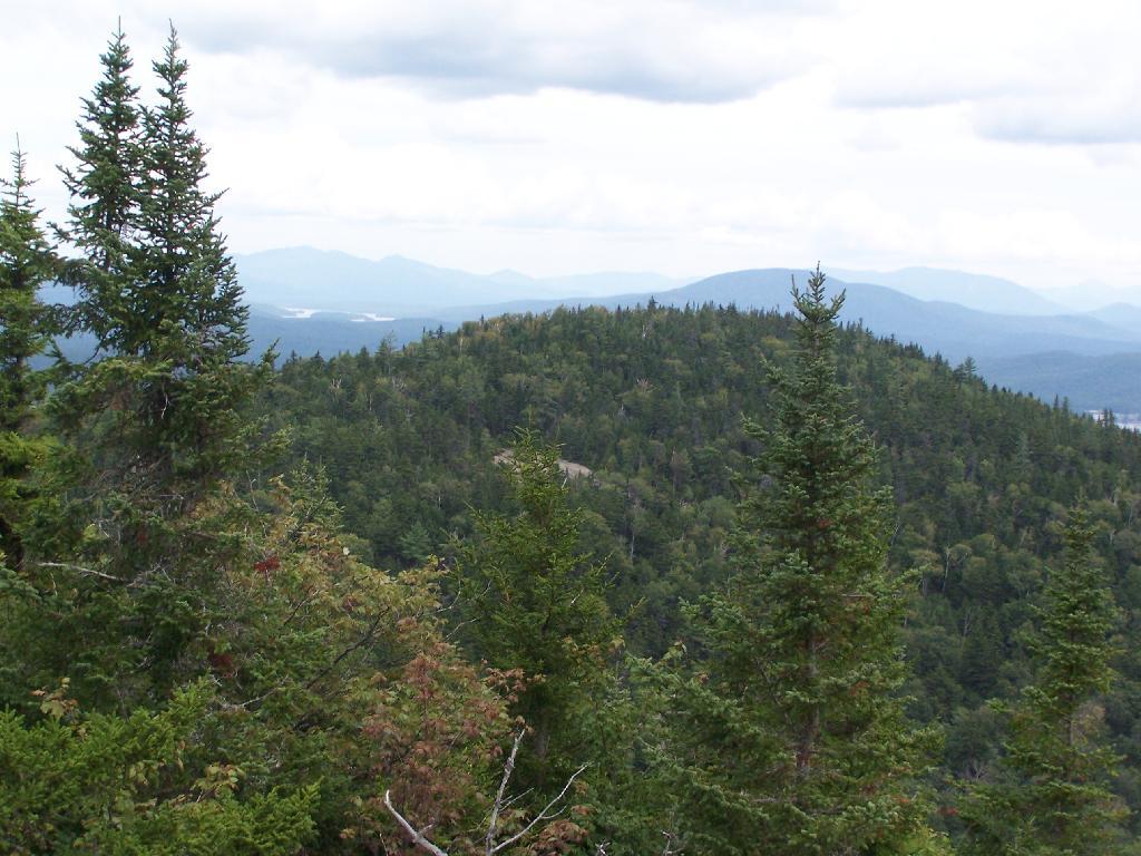
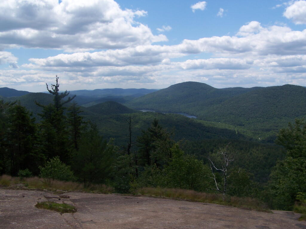
Views as You Ascend. This is looking backwards, towards the Sargent Ponds Wilderness, Lake Eaton, and the timber lands between here and Tupper Lake.
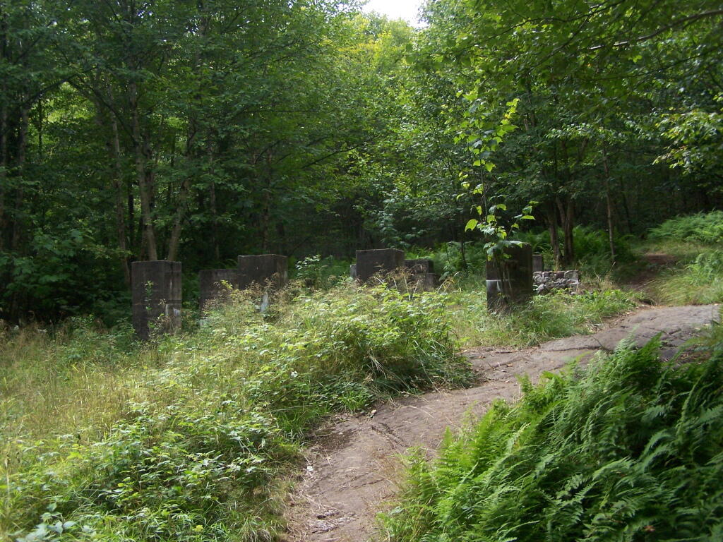
Observers Cabin Ruins. The cabin the fire warden lived in years ago, is not located on top of Owl’s Head, but below it on the shoulder. It’s a 1/4 mile hike to the top, and you accent about 200 more feet, up the pointly little head. The cabin was probably located here, so the warden could meet visitors, and escort them to the top.
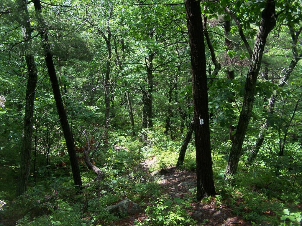
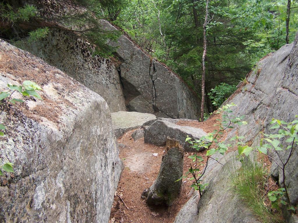
Well Worn Trail. Part of the trail is well worn, and is on open rock face. The good news however is with the lush tree cover, you don’t have to worry about acrophobia up here.
Reaching the Tower. You can’t see the fire tower until your almost on top of it, due to the heavy trees that surround the summit of the mountain, except for the bald portion where the tower is located, open to views to the south and east.
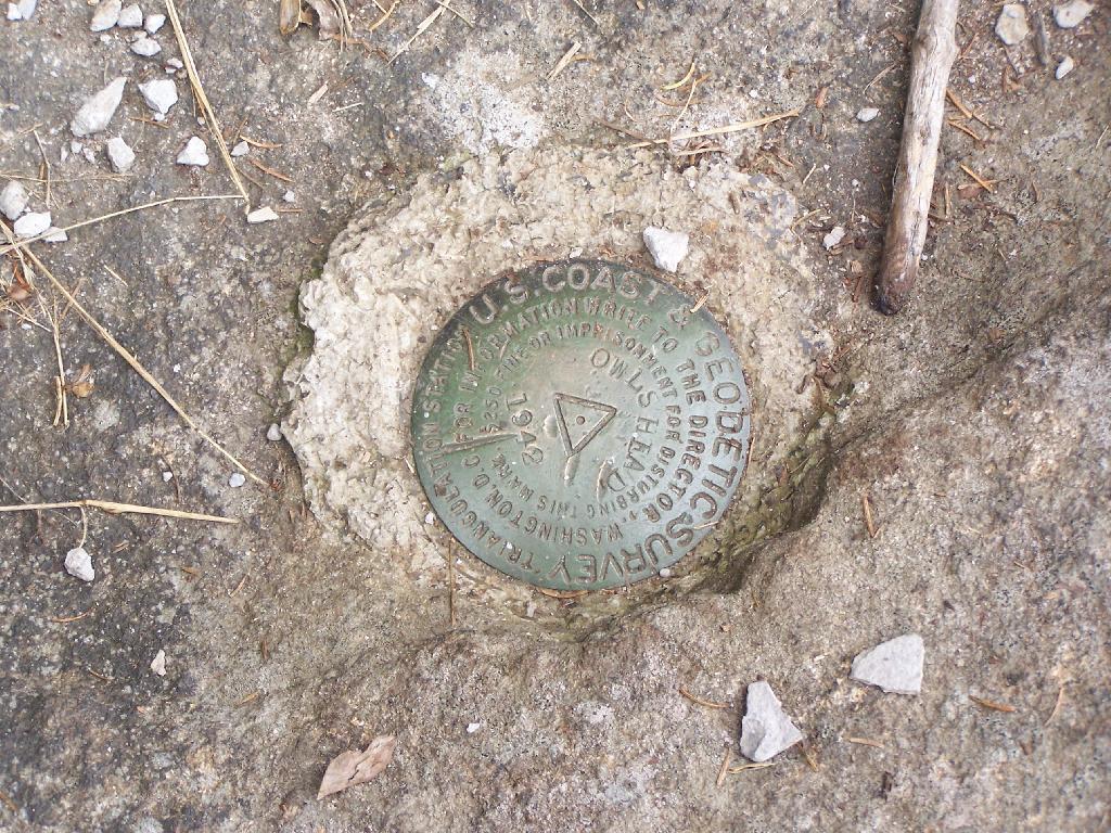
Survey Marker. It says it was placed in 1942 by USGS. It’s right below the fire tower proper.
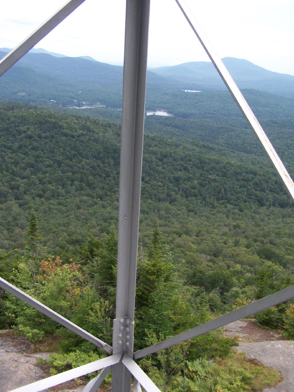
Fire Tower. The fire tower is a 30 foot LS 45 Aermotor tower, pretty typical for NY State. It’s one of the short little towers, like also seen on Rondaxe Mountain in Eagle Bay.
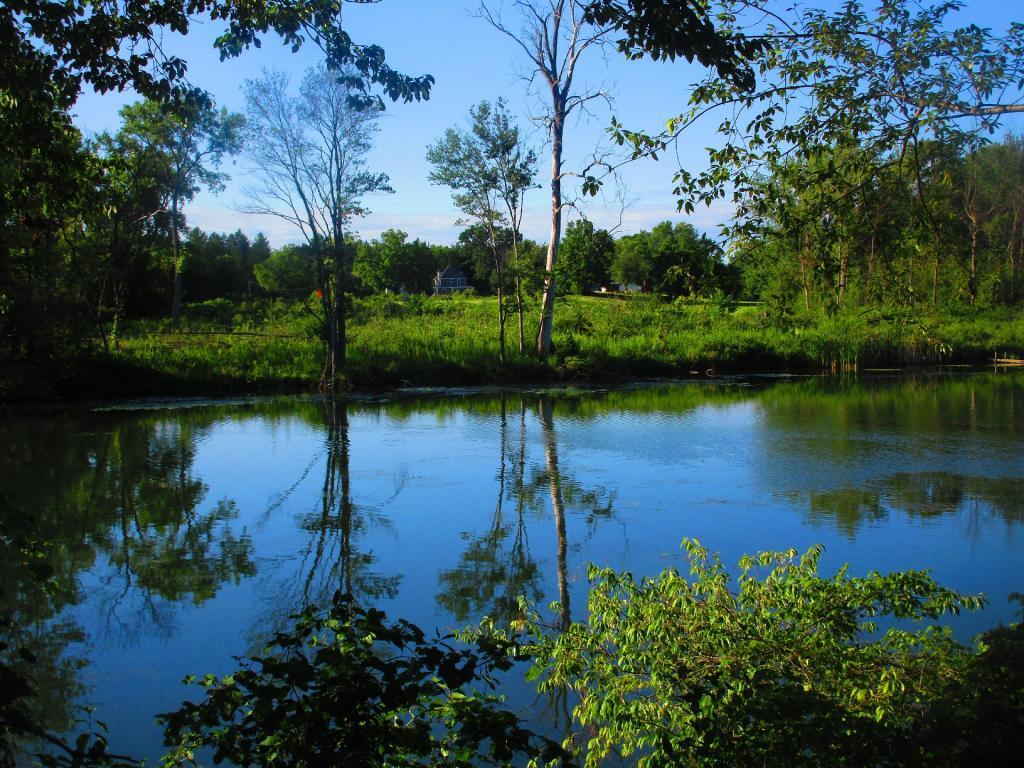
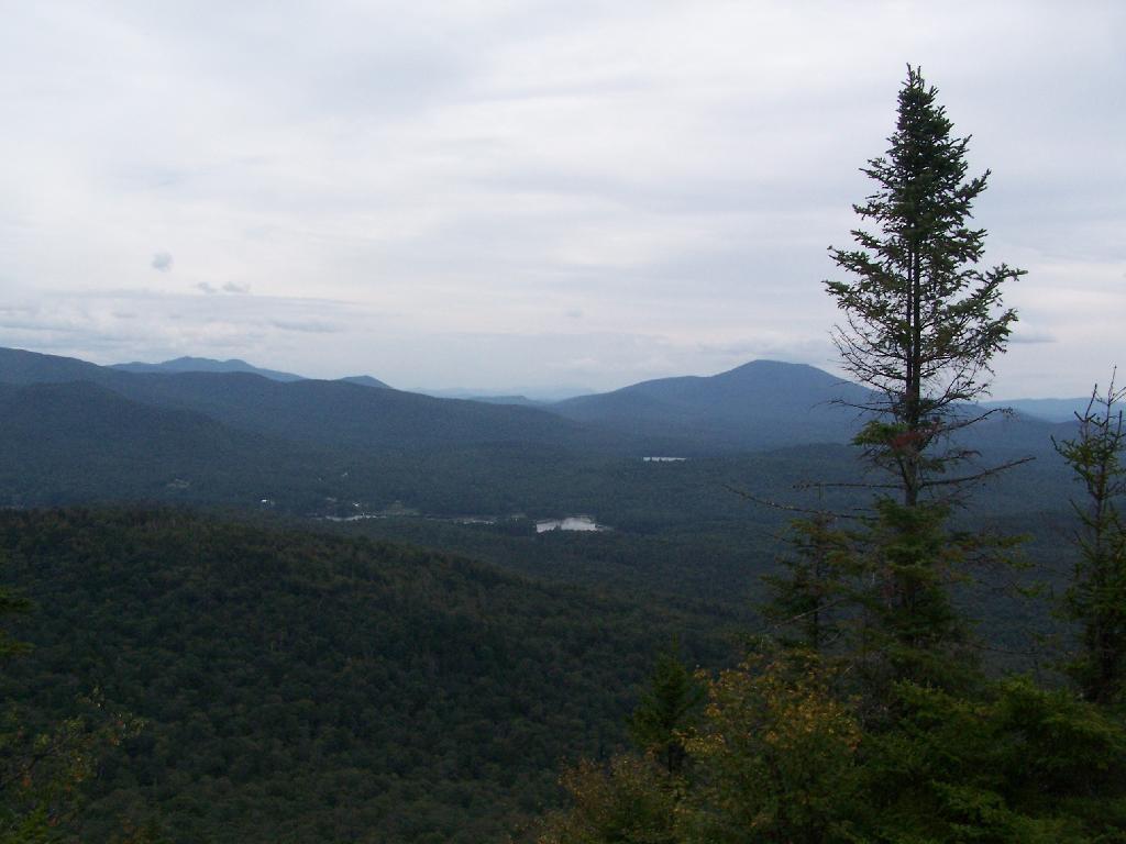
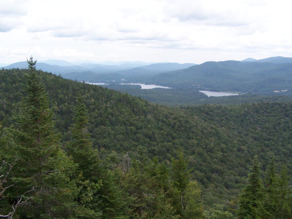
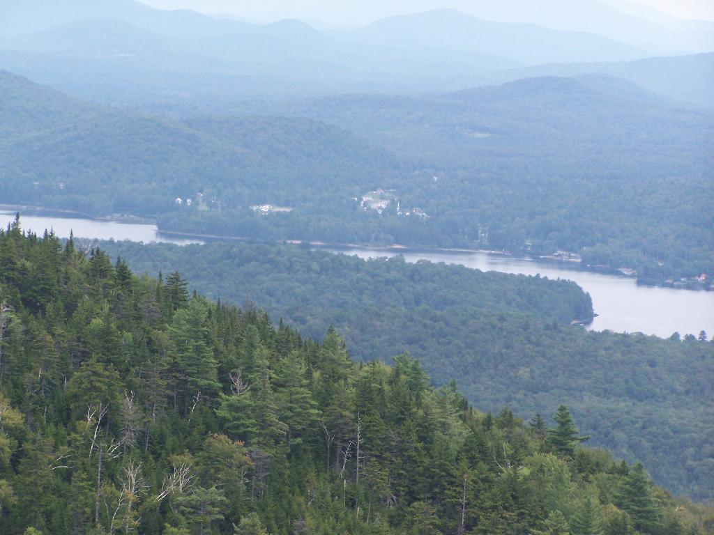
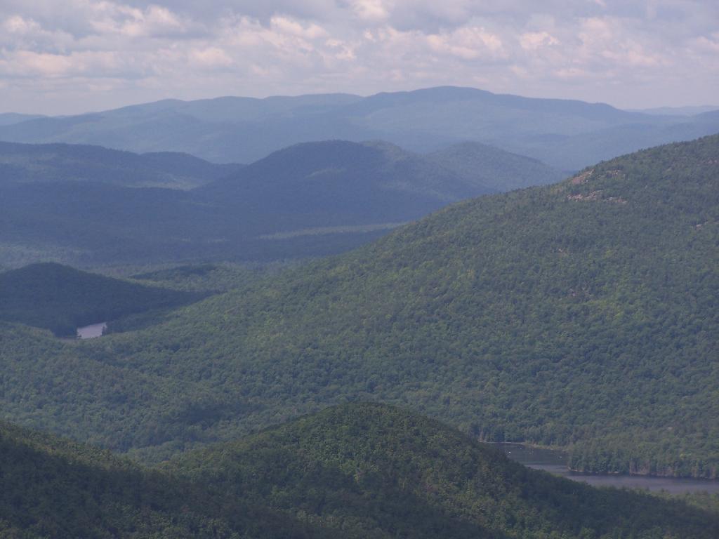
Forked Lake. This is looking south from the summit towards Forked Lake Campground and possibly Racquette Lake. The mountain in the distance is Wakely Mountain, one of the other fire towers originally used to pin-point fires in the Adirondacks (it takes two towers to locate a fire through triangulation).
Long Lake. This is another picture of Long Lake, a little bit farther north, with the shoulder/col of Owls Head visible in the foreground.
North. In the distance is Saranac Lake and Lake Placid, with Whiteface just beyond it. Not the clearest or nicest of days, but still visable. In the foreground is the col/shoulder of Owls Head.
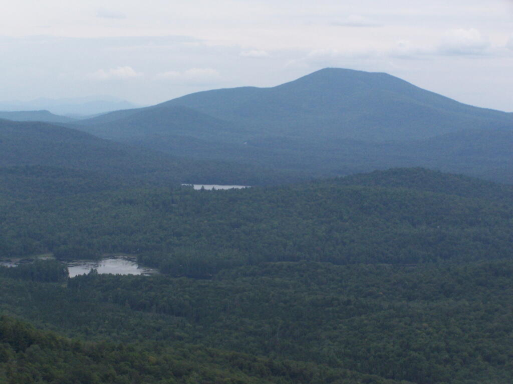
Blue Mountain. Blue Mountain is another fire tower / mountain that is visible from Owls Head. Located about 10 miles away, in the foreground are Minnow Pond and Mud Pond.
Sargent Ponds Area & Timberland. This portion north of NY 28 Corridor and Fulton Chain of Lakes is relatively flat, wild, and many portions privately owned as timberland.
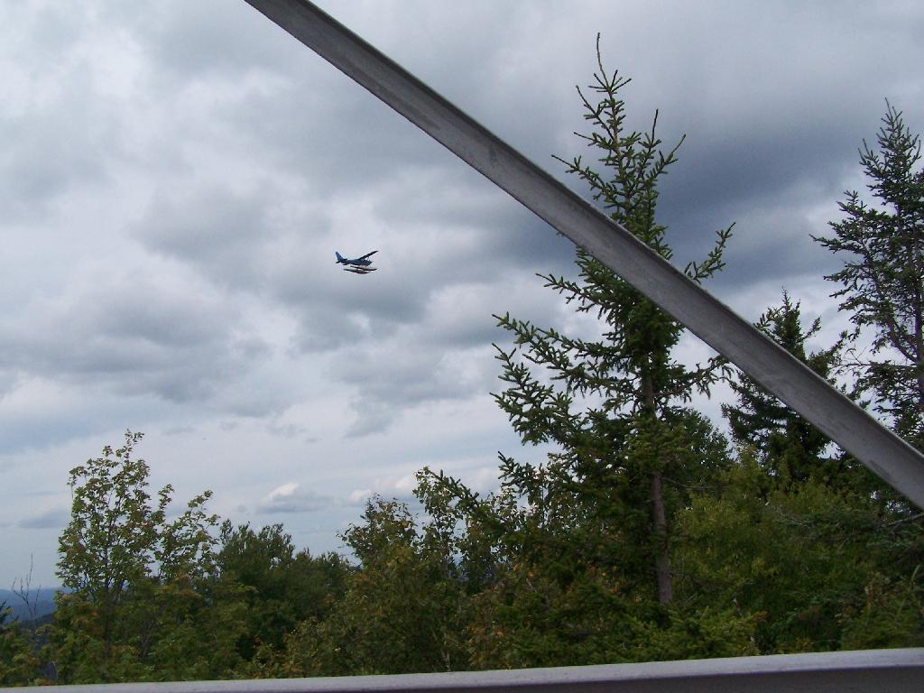
Float Plane. Owls Head is not the quietest mountain out there. Throughout the day, tourist float planes for hire, fly on and off Long Lake, just to north of mountain. They fly quiet low, as they are making the decent back to Long Lake.
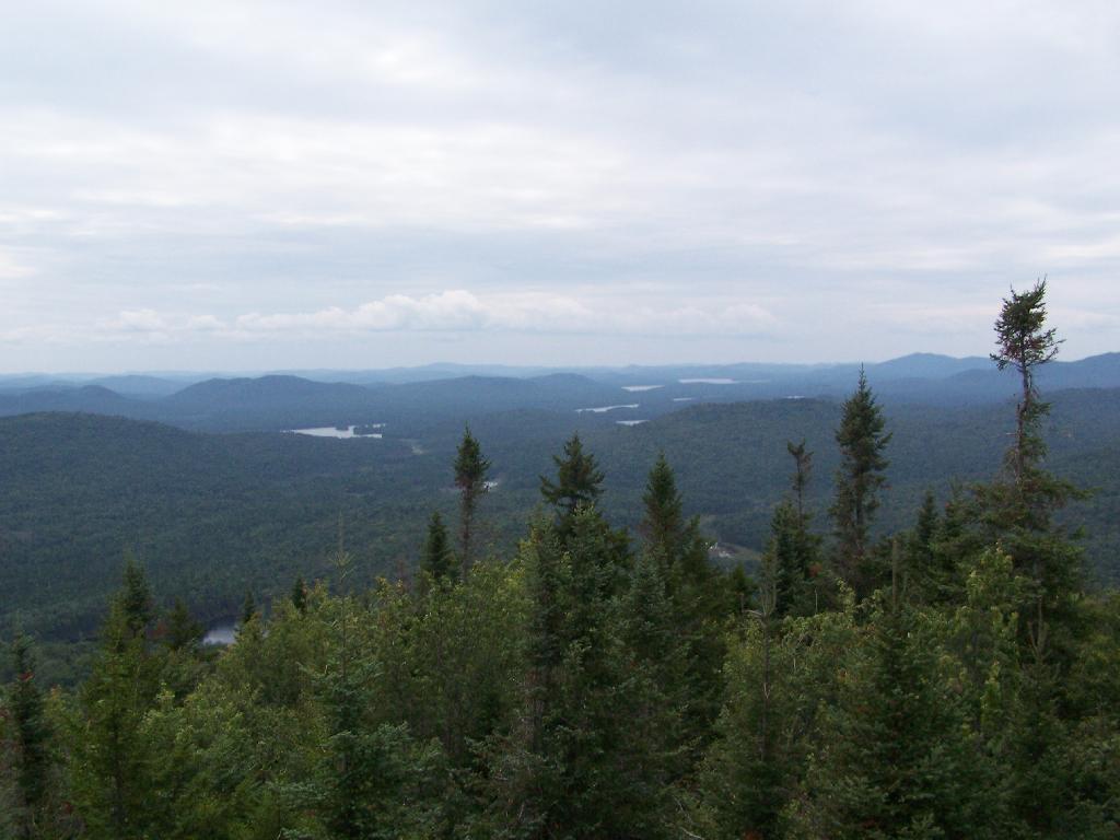
Long Lake Village. While hazy today, you can see village of Long Lake quite well from the tower. It’s always crazy there, and I try to avoid towns whenever I’m in the Adirondacks.
Fire Tower Corner. I always like pictures of the angles and construction of the fire tower. While common after climbing so many, fire towers have a lot of character in their structural steel.
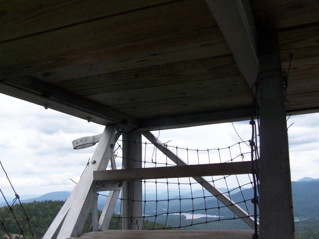
Tower Cabin Closed. It’s unfortunate but the tower’s cabin on this tower is closed, as it’s used for communications equipment.
Sitting on Mountain. Just sitting back and looking south from the open rock face a top Owls Head.
Old Telephone Poll. Descending the trail off Owls Head, I saw several of the old telephone poles, heading up to the former Ranger’s cabin. Some have been cut down, and used to control run-off on the trail, but others still remain.
Here is a map of the hike.
View Owls Head in a larger map
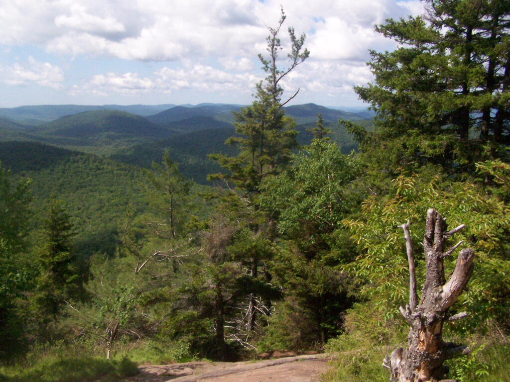
I went hiking at Crane Mountain in the Adirondacks on July 5, on a partly cloudy day. I didn’t get to the trail until around 10 AM, in part because of the Detour on the Adirondack Northway due to the bus crash. Regardless, it still wasn’t that crowded until later in the afternoon.
The drive up Ski Hi Road is quite rough, and minimally marked, except for a few signs that Crane Mountain. Ski Hi road may be inaccessible with a 2-wheel drive after some rain, so be aware. It’s a steep uphill drive, and very much so dirt. Only once it enters the preserve does it get rutted and rough, but very much passable by people who had cars up there.
The first part of the trail is quite steep, but you quickly get views of Granite Mountain and other mountains that surround the valley near Crane Mountain Road and Ski Hi Roads.
The trail up it quite steep, climbing over rocks for the first 1/2 of a mile. There isn’t a clear marked trail, you follow one of many routes through the rocks.
The trail is minimally marked, with a few old trail markers and arrows to help you follow. That said, it’s worn enough, and with enough bare rock faces, that it’s quite followable, even without too many markers.
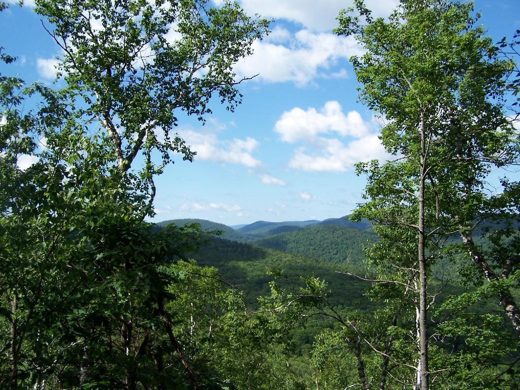
The farther you get up, the better the views get.
The trail splits between one trail to the pond and one to the Escarpment/Summit. The trail to the Escarpment is relatively flat, with a few up hill sections until you get to a 30′ ladder to get up to the top.
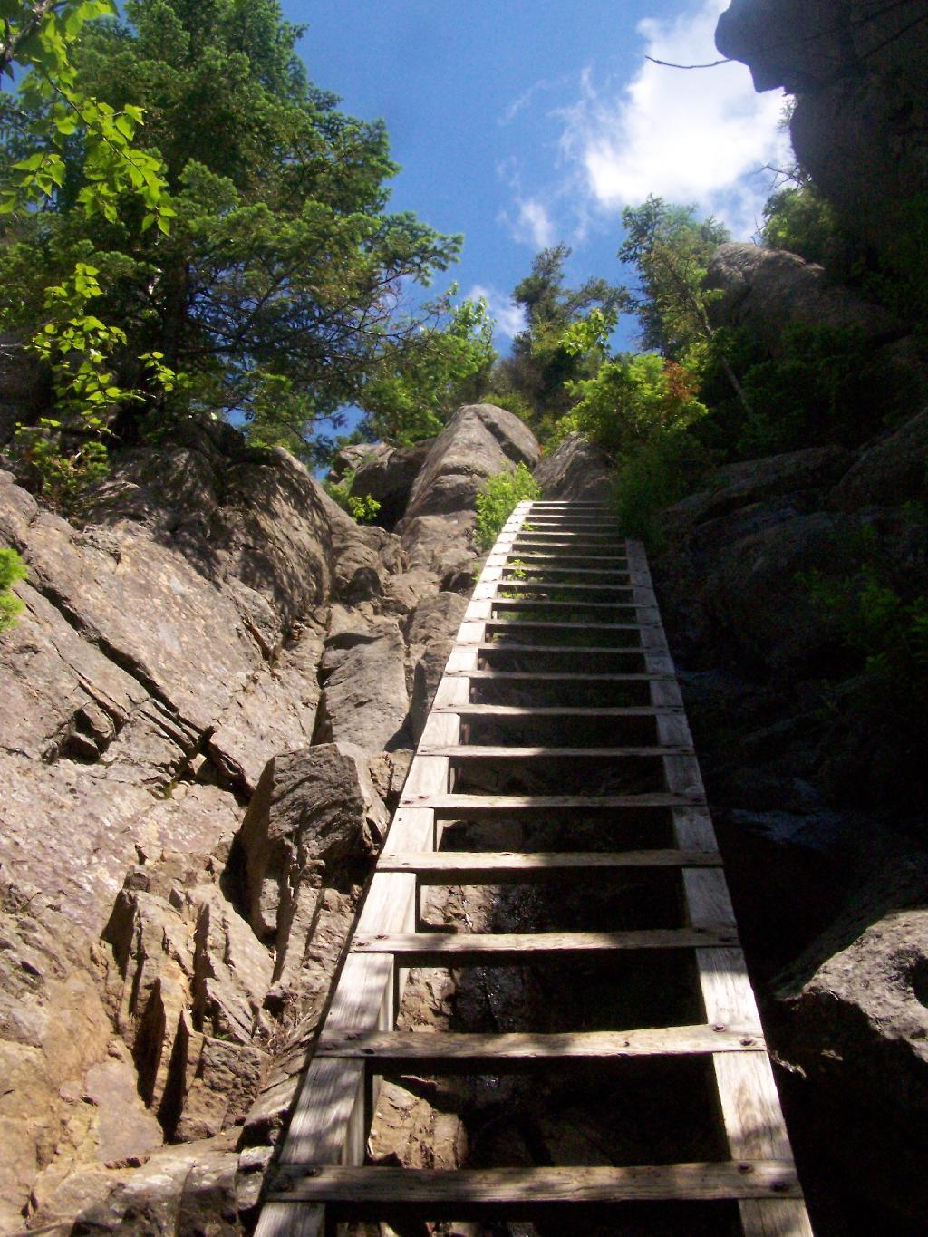
But once you get there up that ladder, the views quickly become quite amazing. The ladder may be 30 feet high, but it’s securely attached to the mountain, so it’s an easy climb. Also, the trees block the view outwards, so it’s not a bad climb.
Now I’m looking due to west to Granite Lake.
Looking North West, along the trail as it proceeds North along the Escarpment. I turned on the Mp3 player, and was listening to America’s Horse with No Name. Good music for the amazing views.
Continuing donw the trail. I must have spent an hour snapping photos, reading, and just enjoying the landscape.
Next the trail proceeds down steeply towards Crane Mountain Lake, with one viewpoint with good northerly views, including an overview of the popular fishing spot of Crane Mountain Lake. At least on this side there is no ladder to climb on down.
Down at Crane Mountain Lake. I sat down here, and spent some time reading. A few people where around fishing and exploring, more people where heading up the trail with polls later on.
The trail, while unmarked splits between going along the top of the ridge between the second and first latter up Crane Mountain, not that you would know it from the lack of signs. There is a lot of exposed rockface on this relatively steep trail, due to aggressive logging a century ago destroying the soil cover, along with steep slopes.
The trail descends quite steeply through rocks, and then further down. It’s a quite steep descent to say the least.
A rather pretty house from a converted barn on Crane Mountain Road, which is viewable from the descending trail.
The last mile of the trail is along an old woods road.
The route I took.
Some sites on Crane Mountain:
More pictures of Crane Mountain.
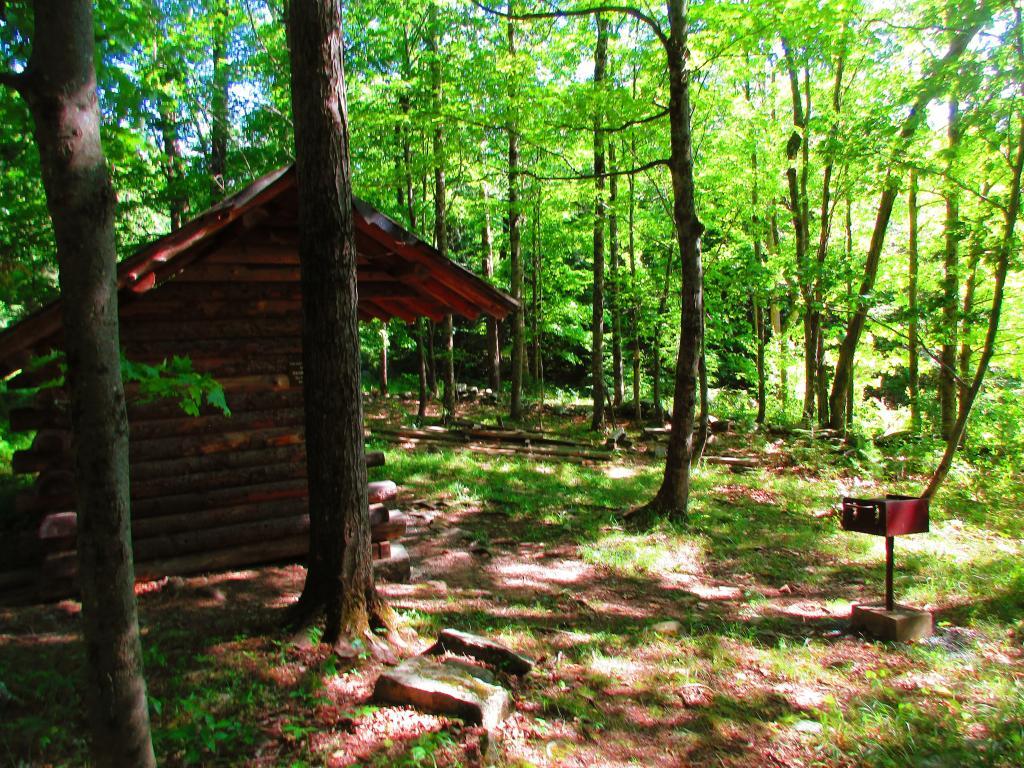
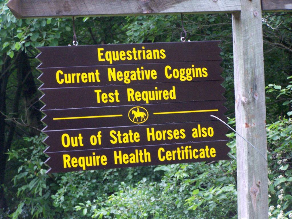
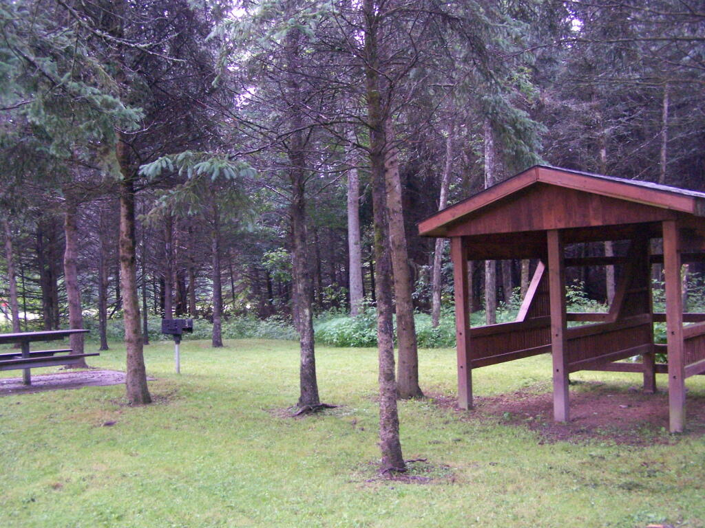
The final night of my Finger Lakes Trip I spent the night up at Sugar Hill State Forest, a series of 9,500 acres of state land, popular for horse owners. This parcel has two main camping areas, about 90 miles of horse trails, 3 lean-tos geared to equine users, and one nice new lean-to that is accessible solely by foot.
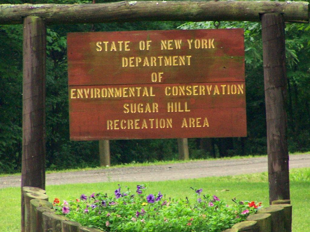
You don’t see signs like this located in downtown Albany.
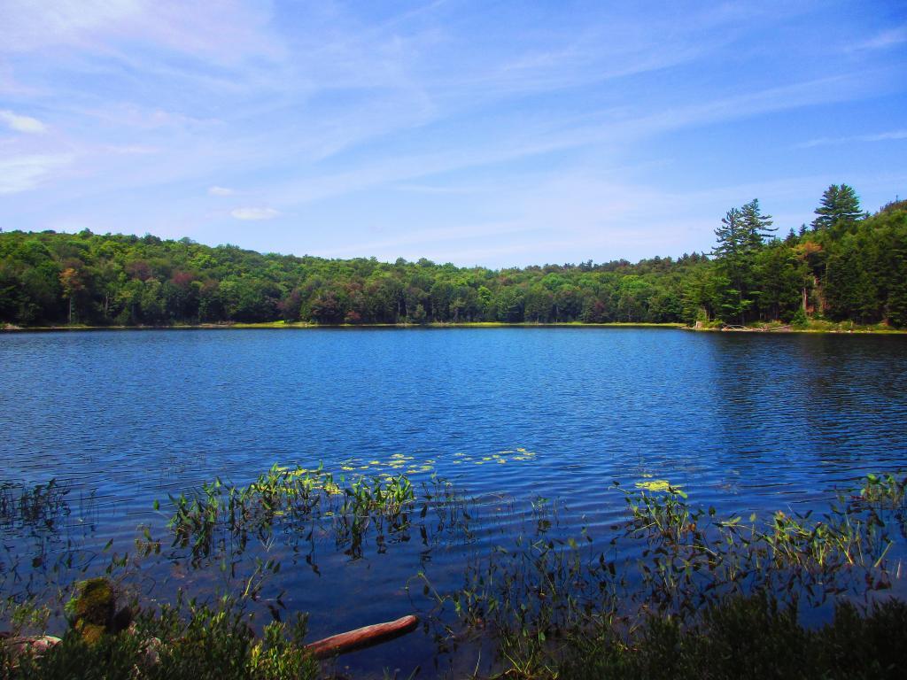
This is all conveniently located about 15 miles from Watkins Glen, at the headwaters of Townsend and Glen Creeks that make up the water that flows through the Glen.
While I didn’t spend a lot of time going around and grabbing pictures of the Horse Camp, I did take some pictures and have some from when I visited this area during the previous summer. This was in part because the last day was rather gray, with heavy rain at times, and I was frankly quite tired.
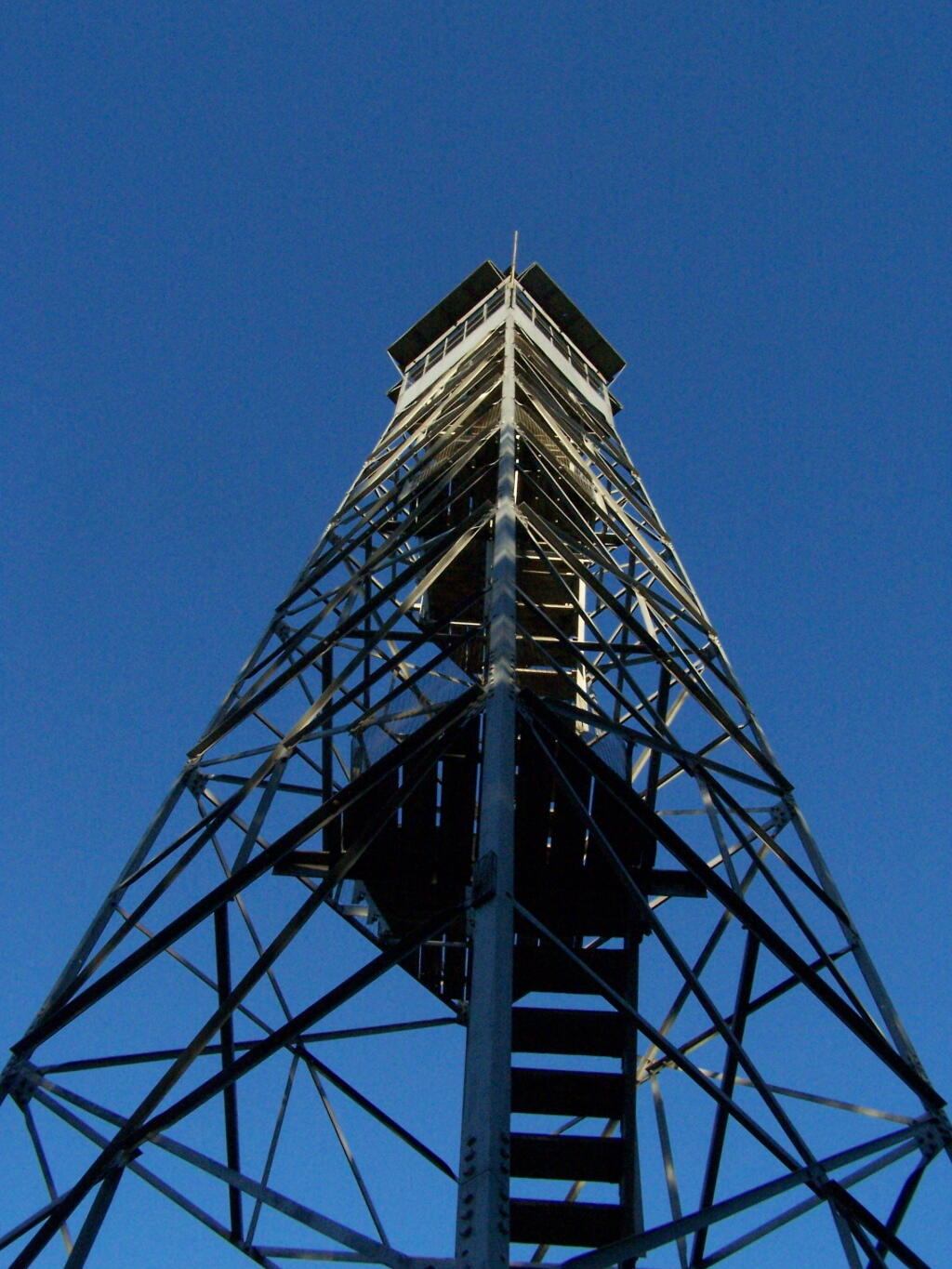
There also is a firetower at the main horse camp area, which is filled with RVs, horse trailers, and horses during the summer weekends. This is shown below:
Here is the fire tower:
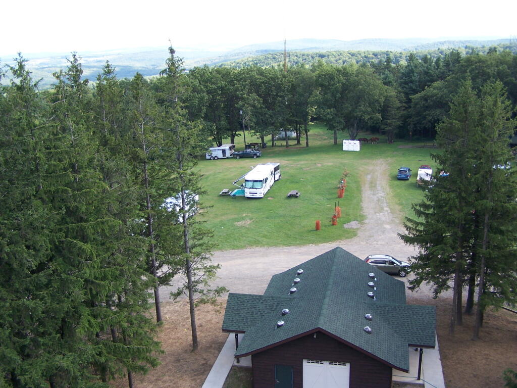
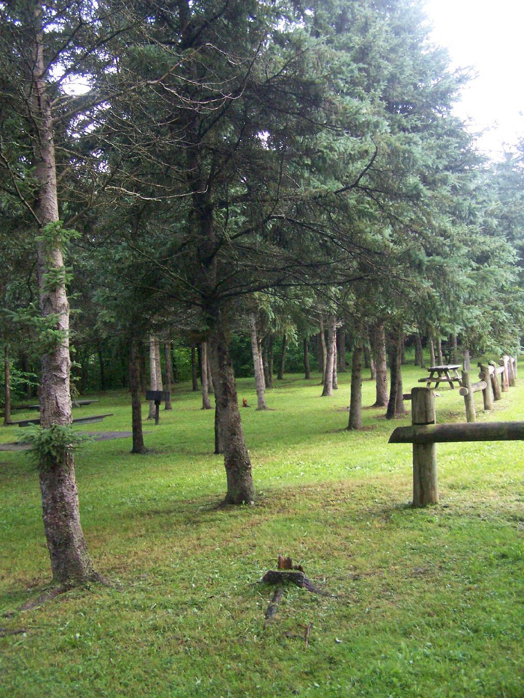
Here is the main horse camp, with new bathroom facilities including flush toilets. This was installed two years ago due to the popularity of the horse camp and contamination concerns by the overuse of the conventional pit privy.
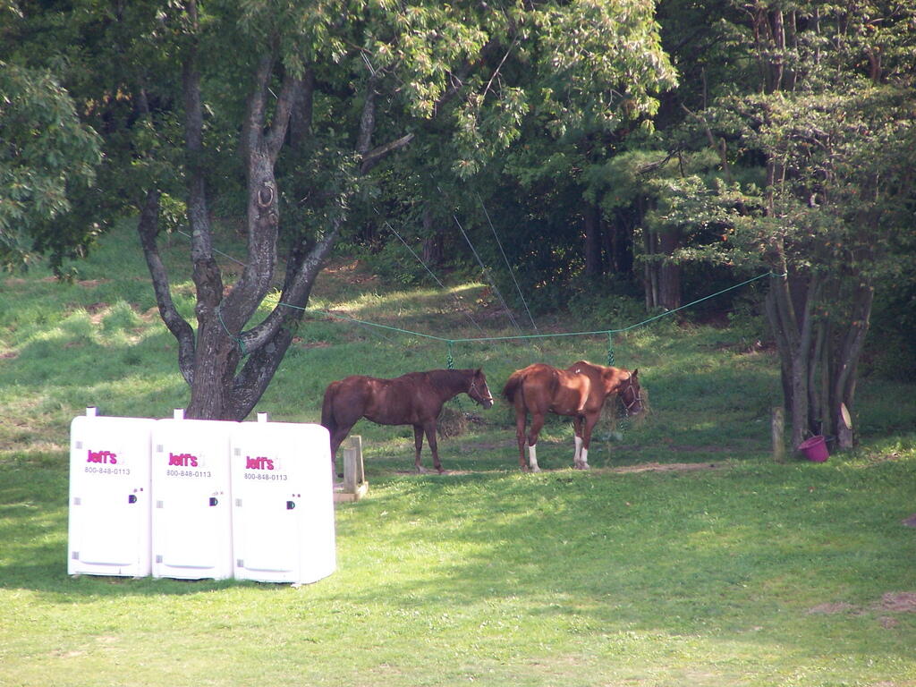
Horses tied up. I took this last year, when they where still building the replacement bathroom for the pit privy, and therefore the porta-potties.
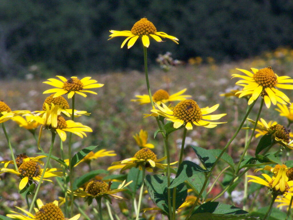
Some wildflowers noticed along a short walk…
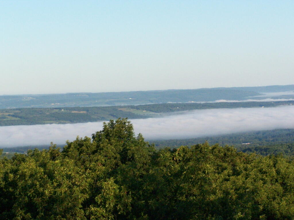
A bed of fog over Kueka Lake from the Firetower from last year.
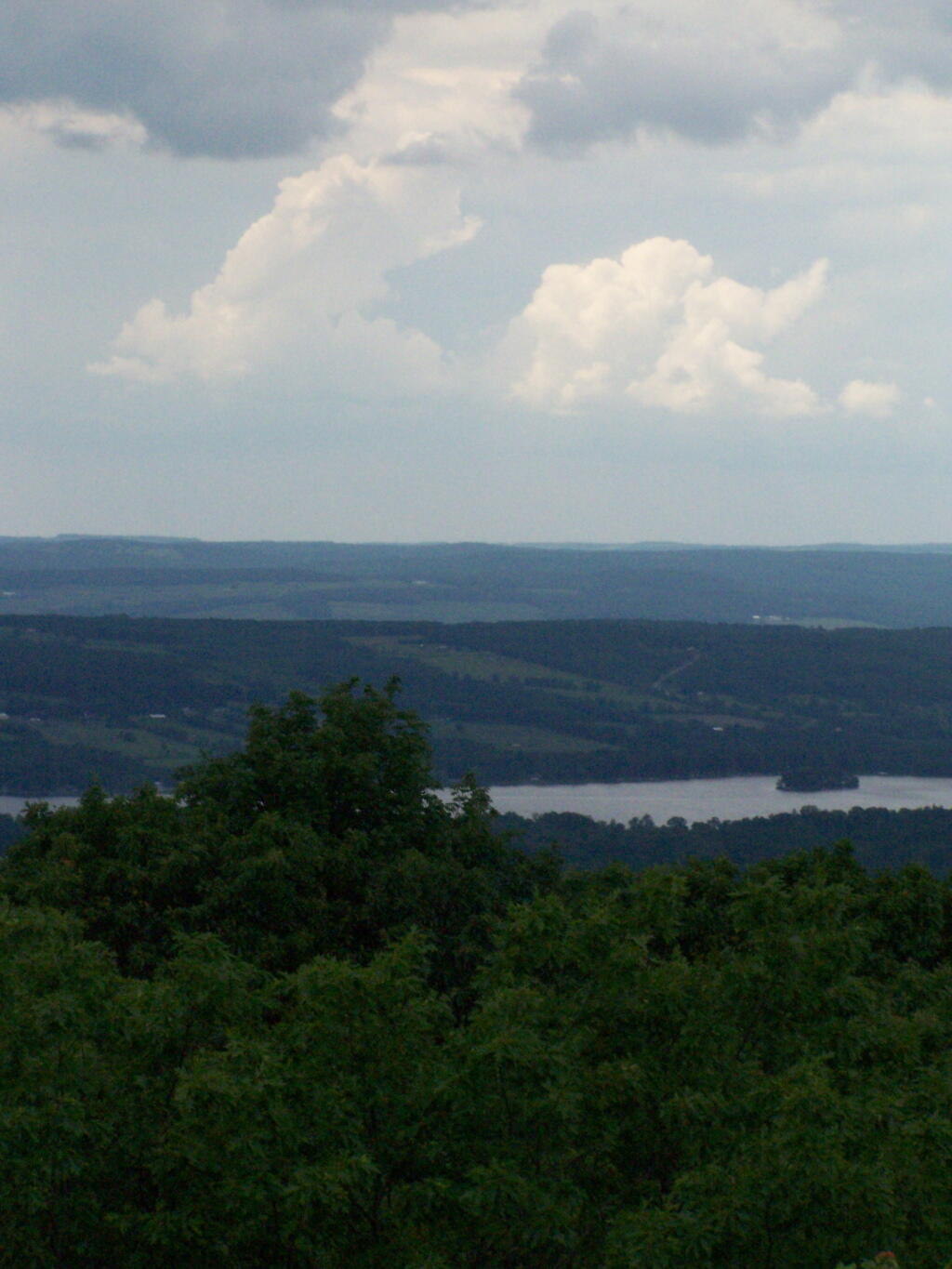
Thunder clouds approaching from the west from the Firetower. It was not of course thundering when I was on the tower. I’m not that stupid.
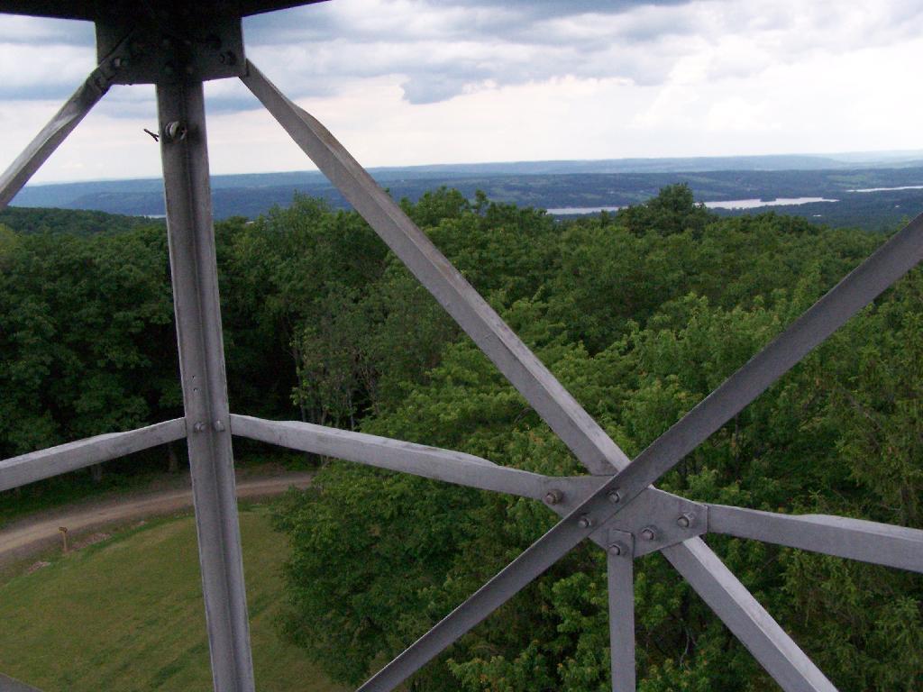
Descending the firetower, looking east towards Seneca Lake.
Rather then camping at the main horse camp, where there where several people set up with horses, I decided to camp at the lower area, which is much less popular, but as nice if not nicer.
They still have lots of things for the horse owner to use.
In the evening it started to rain. It didn’t bother me much, as I had the tarp over my truck and the picnic table, and thanks to the cement base under the table, there was no mud or muck to get kicked up.
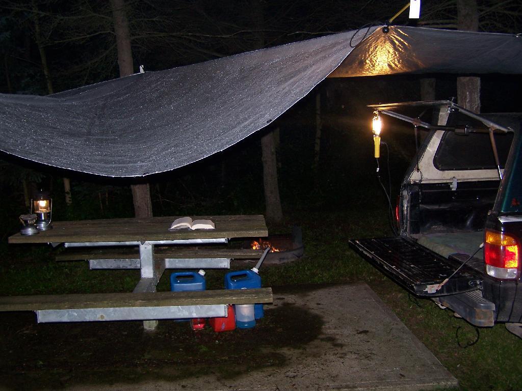
This was my camping arrangements, as seen in the morning. Not bad, especially for a free campsite.
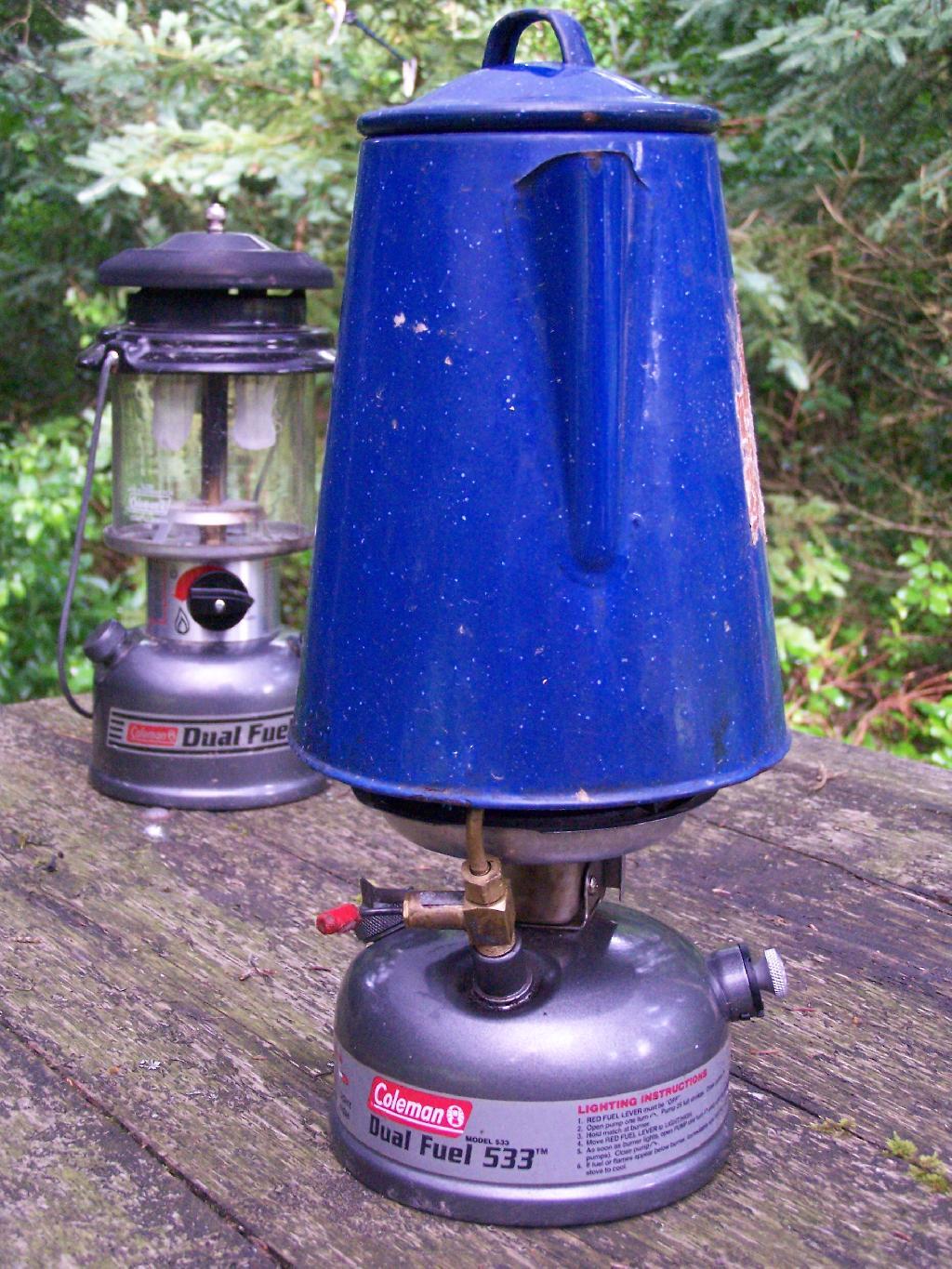
Making some coffee in the morning. I drank an incredible amount of coffee during this week.
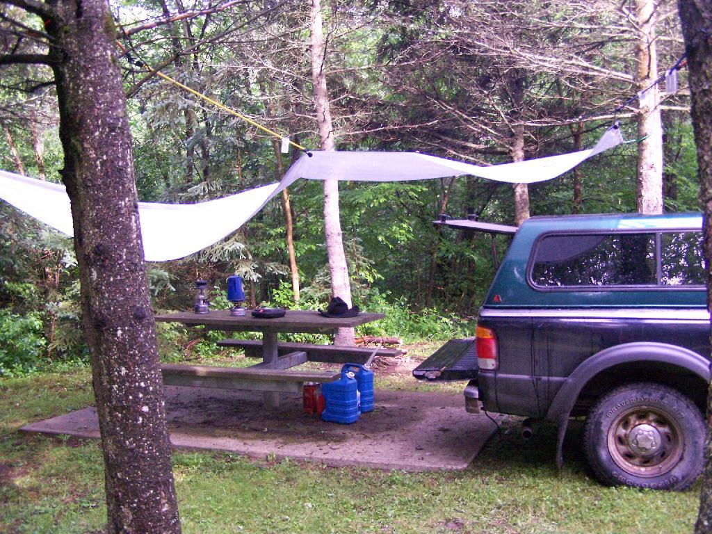
Where I camped, after everything was all packed on up.
Farms from off Six Nations Hill in the rain, looking south.
Maps from the DEC of Six Nations Horse Camp:


I drove the following route on Day 3 of the Finger Lakes Trip, in yellow. The loop is where the firetower and main horse camp is. Following the green line due south, takes you to the southern horse camp where I spent the night camping.
Day 4 I visited Corning and checked out Big Flats, which is now unfortunately little more then suburbanite crap. Corning was kind of neat, except that it started to pour when was down there. I then drove down to Sayre, PA, and through northern Pennsylvania so I could pick up some fireworks for the forth of July. I probably could have come right back into the state, but I certainly didn’t want to be followed by undercover cops, with my fireworks (yes, I’m a little paranoid).
Rural Pennsylvania was quite pretty, except for the heavy rain and the fact that Route 706 was so damn narrow and twisty. When I got back to NY, I really appreciated how much better our state’s roads really are. I drove back via I-88, occasionally hopping back on Route 7 for some additional variety to my trip. I got home around 4 PM.
The green line follows my return trip. It took about 6 1/2 hours, including stops in Corning and other places.
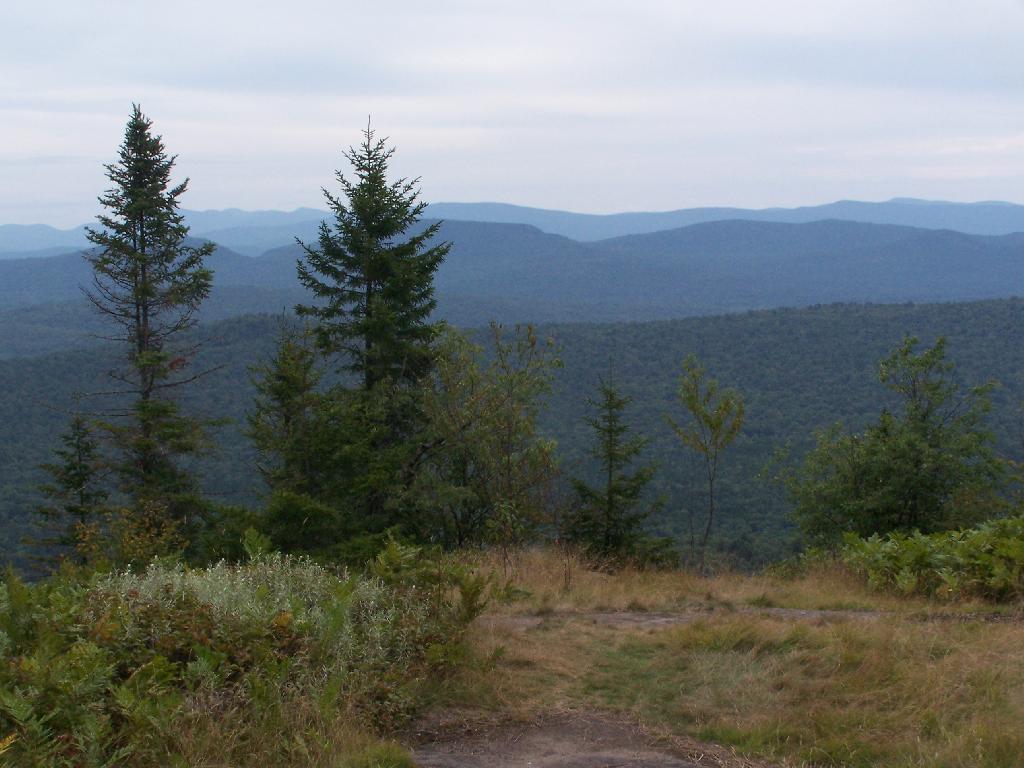
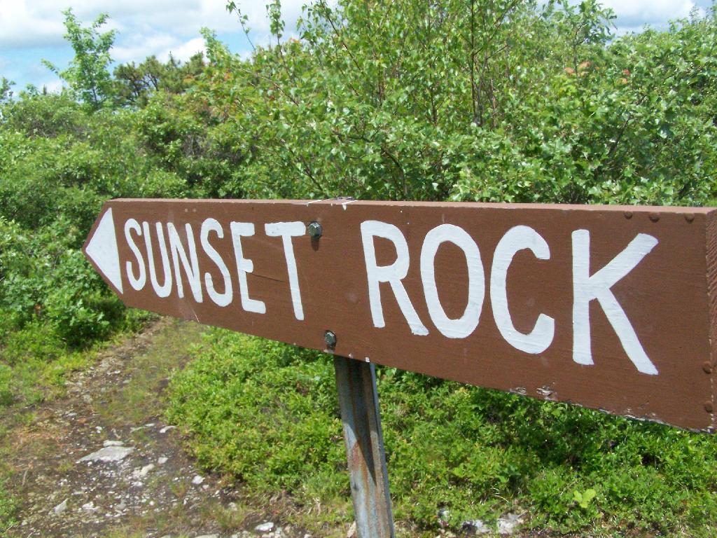
After hiking Bash Bish Mountain, I decided it was early enough in the morning that I would have time to visit Sunset Rock on Cedar Mountain. It has some of the most impressive views around.
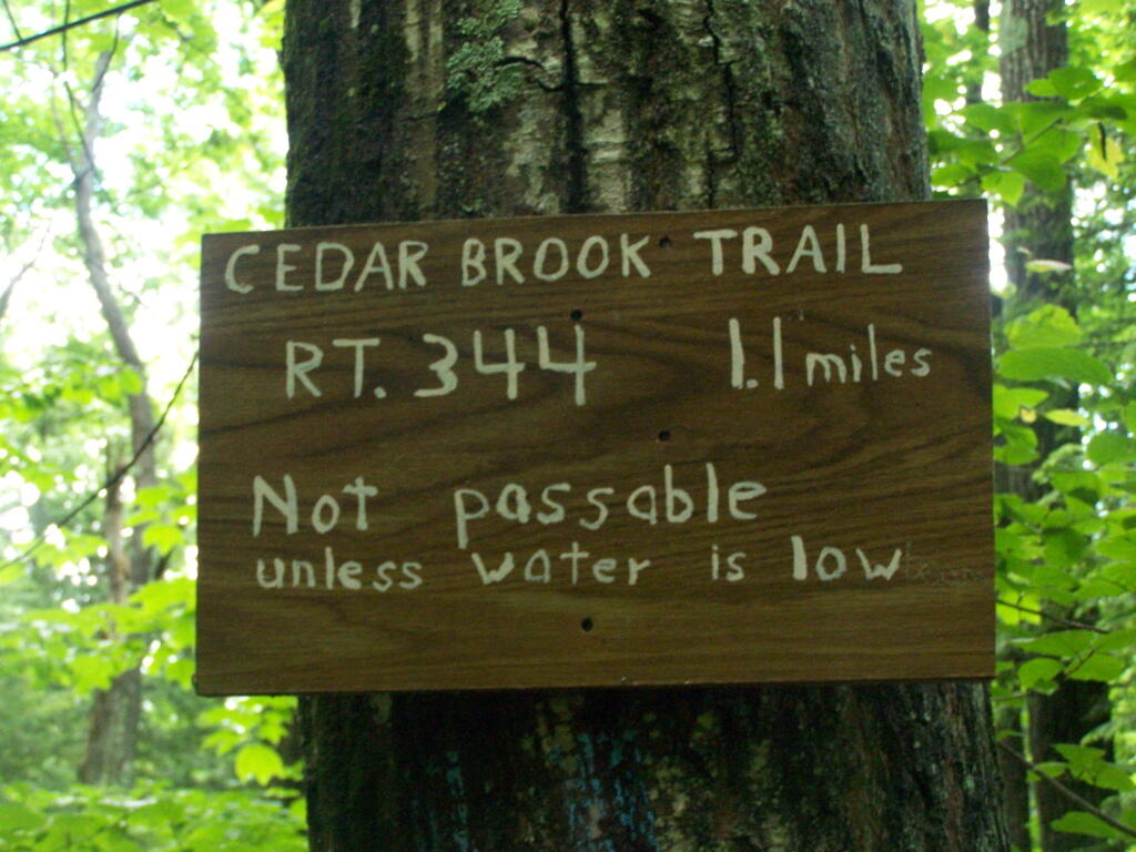
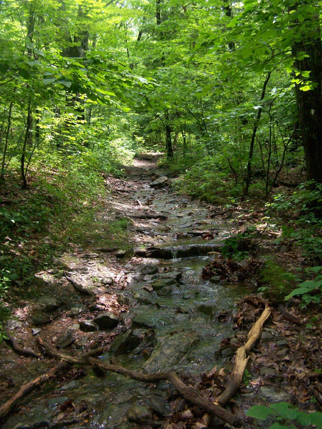
I decided to take the Cedar Brook Trail, the Blue Trail on up the mountain. This is not the recommended route if it’s been raining the day before hiking, like as it had been when I went out hiking.
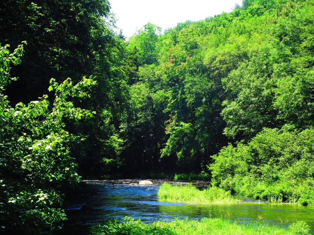
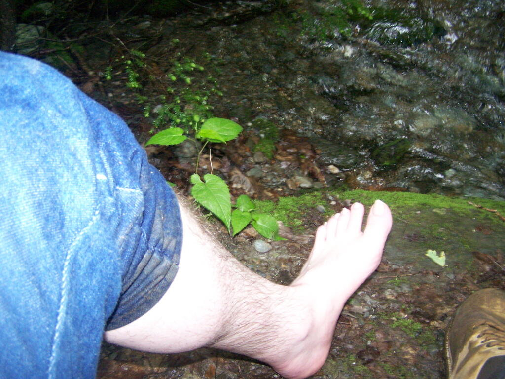
The trail crosses the Cedar Brook five times, and one of locations was deep enough I found myself wading through at least one of those spots.
Once you climb out of the Cedar Brook Valley, via a rather steep trail, you connect up with the main South Taconic trail to Sunset Rock. This trail was much less wet then crossing the brook, but still rather flooded in several locations
Once you reach the top, the foliage changes. First it goes to open canopy with ample ferns and decedious trees high above. At the top, it is quite open with just a little bit of scrub oak and ample blueberries around. From the must-needed Sunset Rock sign, you follow a trail about 1/4 mile to Sunset Rock, a small boulder you walk on top for wonderful views of the valley below.
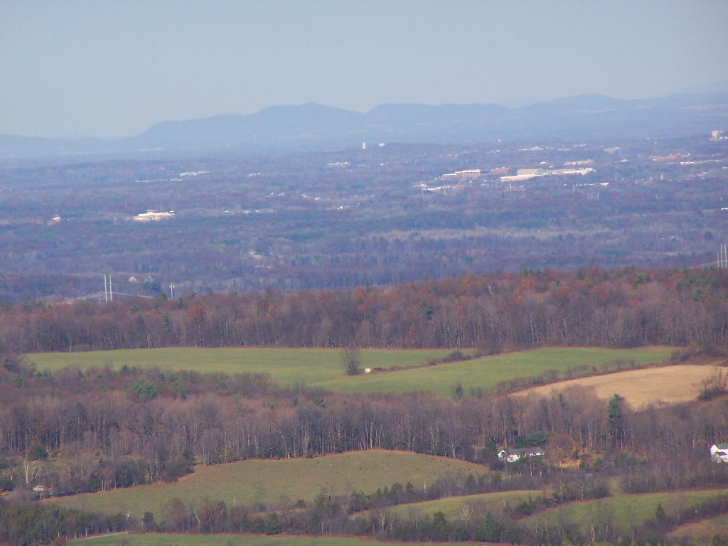
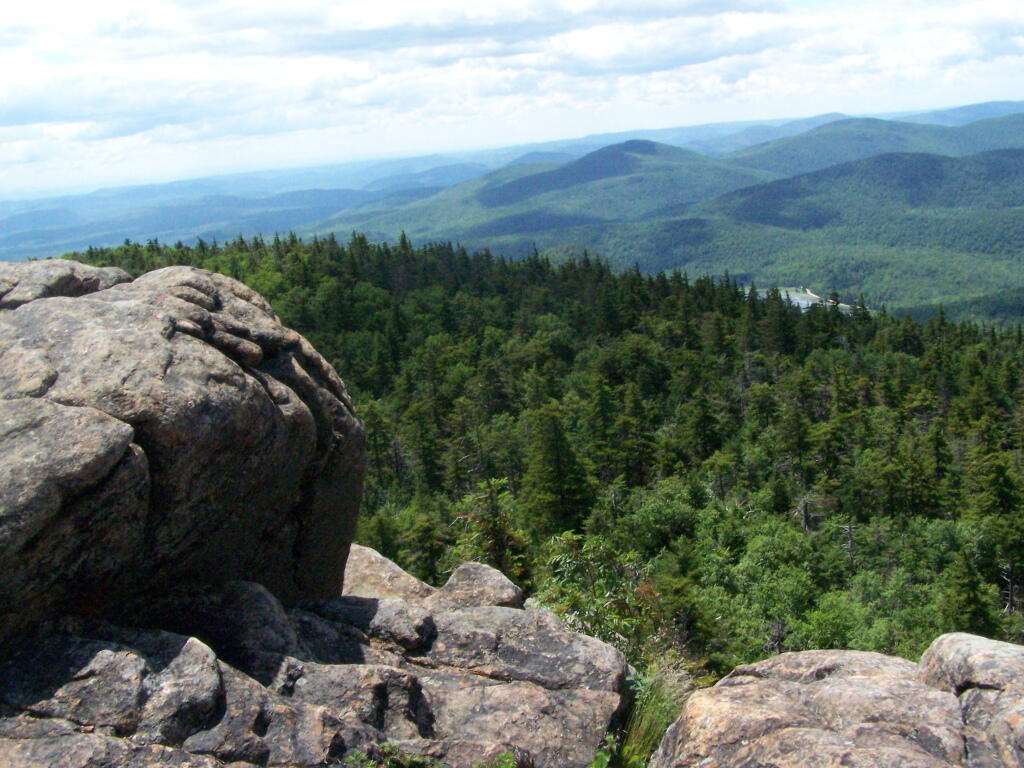
The views from Sunset Rock are amazing. As you could see by this picture, it’s gotten very clear out by around 1 PM. I have to say this is one of the nicer views I’ve seen around, with the Catskill Mountains in the background.
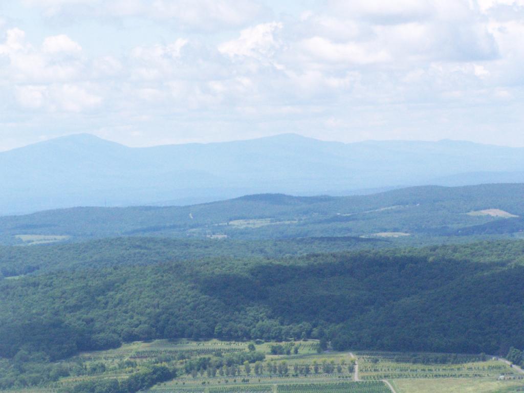
Here is what it looks like towards the South-West, towards Overlook Mountain and beyond that, the Shawangunks.
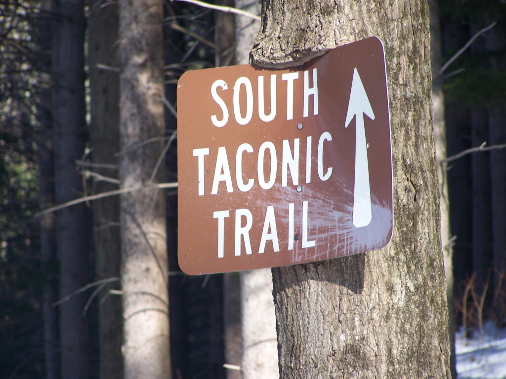
The main South Taconics Trail descending Sunset Rock was much drier, following an old wagon road, that is smooth enough you could drive a regular car up it. If you have any question about how wet it’s been, this route is the one to take. I will upload a photo later.