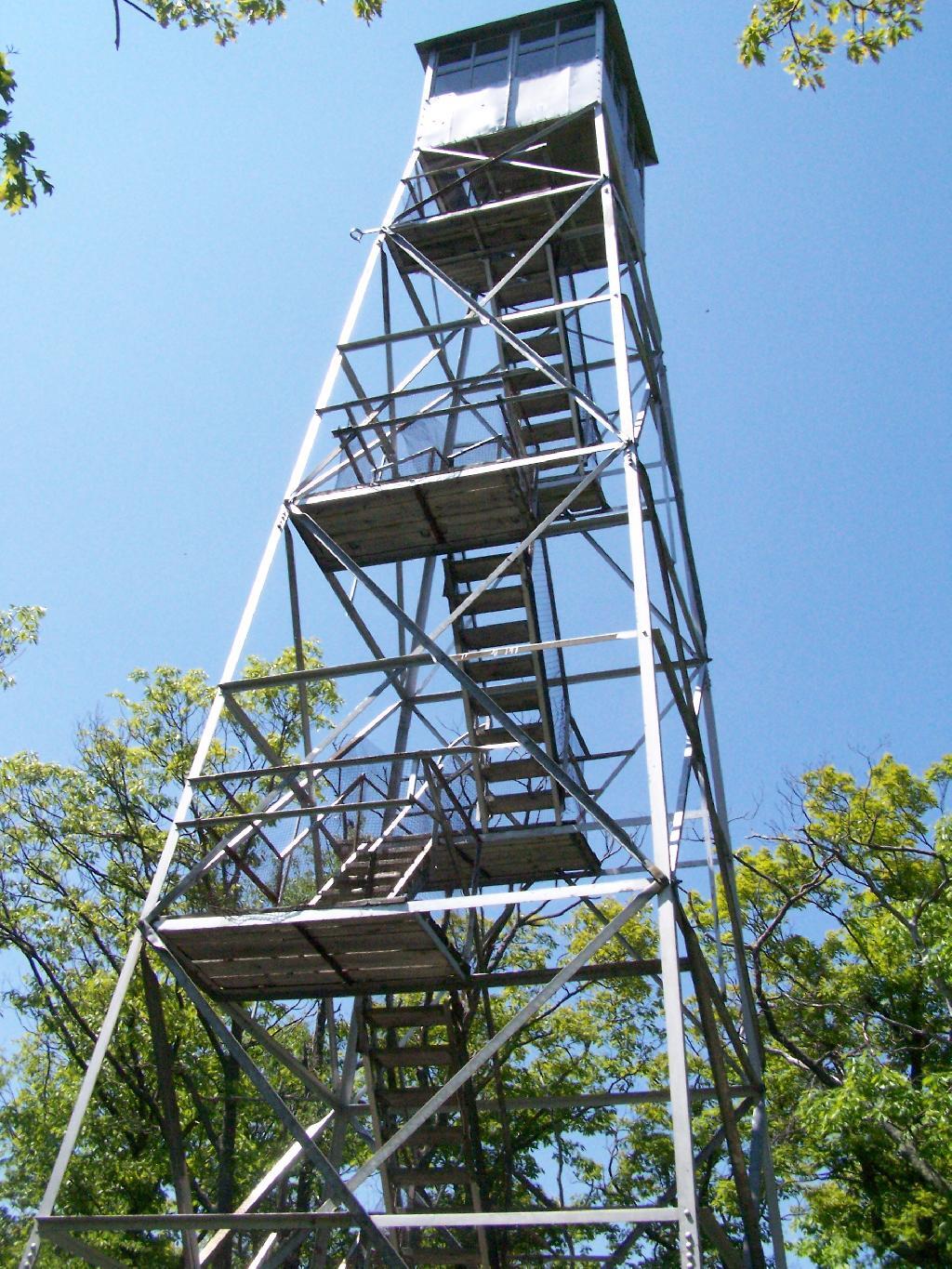
Last Saturday I went hiking up Mount Tremper in the Catskills. This is one of five remaining fire towers in the Catskills, and I was excited to do my fifth tower in the Catskills.
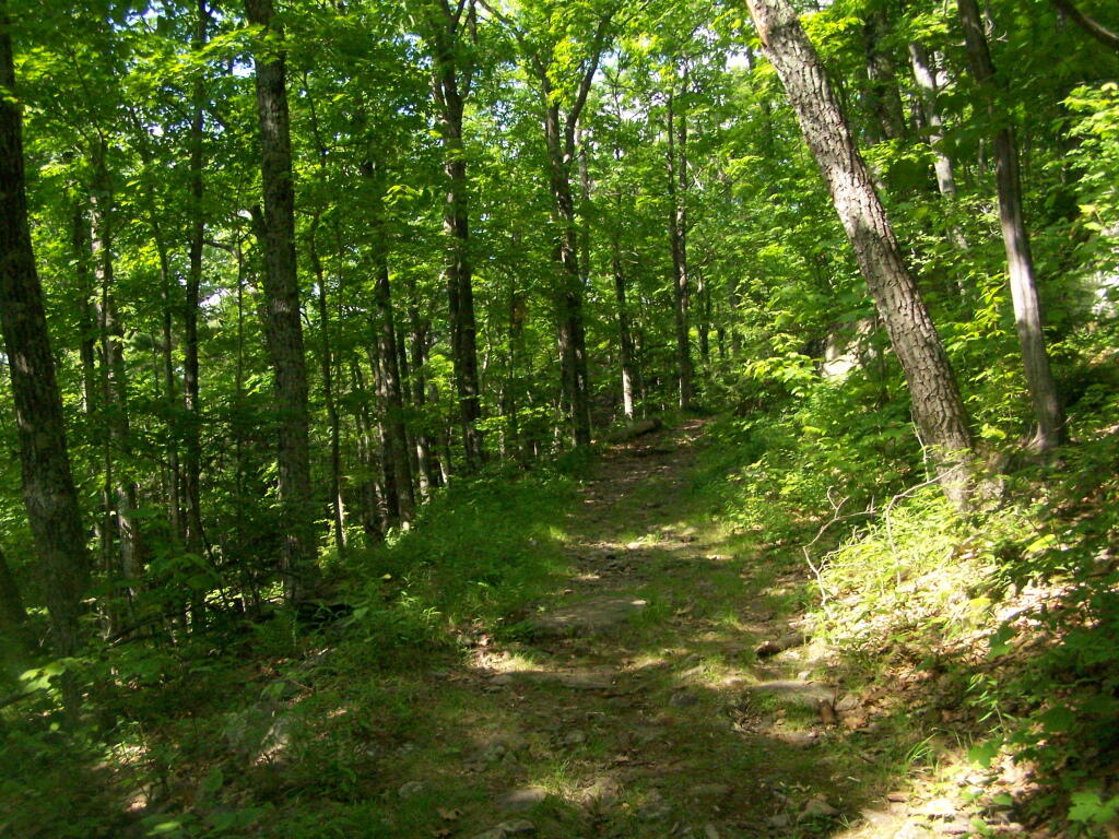
It was a nice day out, warm, but not to warm. It also was quite clear which I discovered when I reached the top of the mountain. The trail is 2.5 miles to the top, but it’s elevation increases are moderate, following an old woods road to the tower the entire way. Parts of the old woods road are eroded away, but it’s still an easy hike, as long as your patient.
As I often go hiking along, one technique I use on such a trail like this is to bring my Mp3 player and listen to podcasts as I hike on up. I knew it would be about a two hour hike up, so I put two hour long programs on the player, and the time passed quickly.
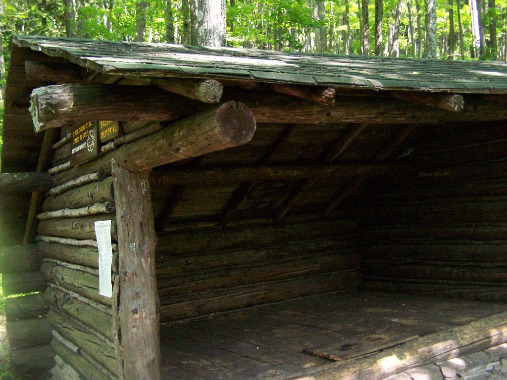
About 2/3rds the way up the mountain there is a lean to, the Baldwin Shelter once can stay in. There also is another lean-to adopt the mountain.
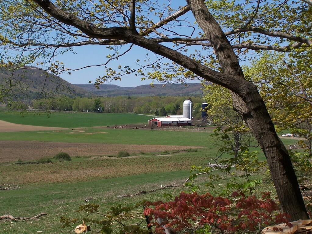
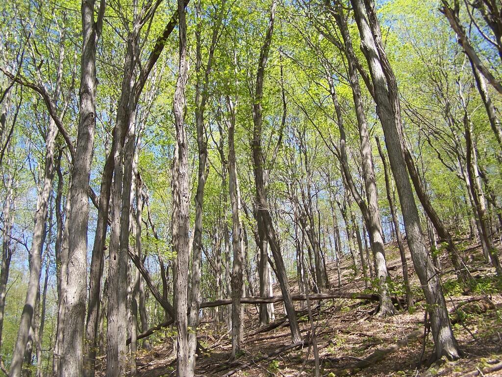
Once you reach the top, there are no views except a few between the trees. The only views you can see from this mountain are from the fire tower, which are quite spectaular, however you must go all the way up into the tower’s cabin before your above the tree level.
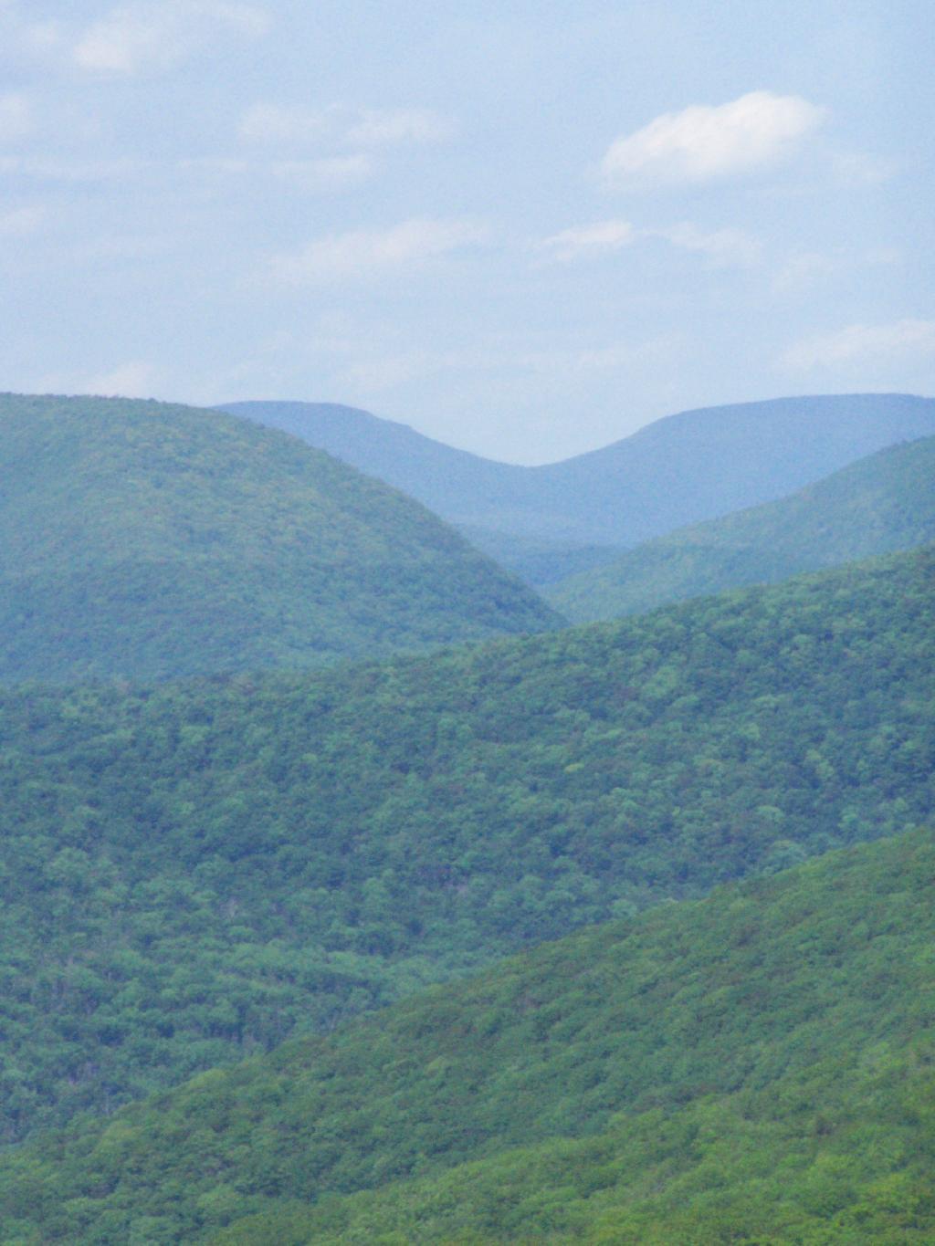
The views from the tower are amazing. This is out toward Hurley and the Ashoken Reservior.
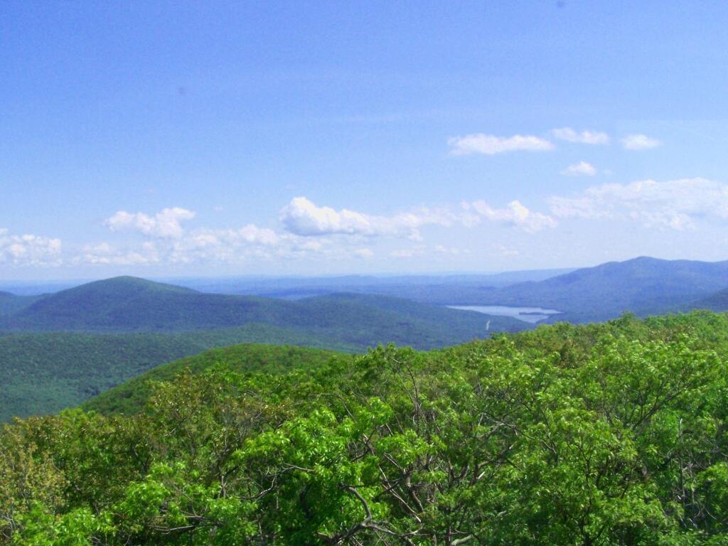
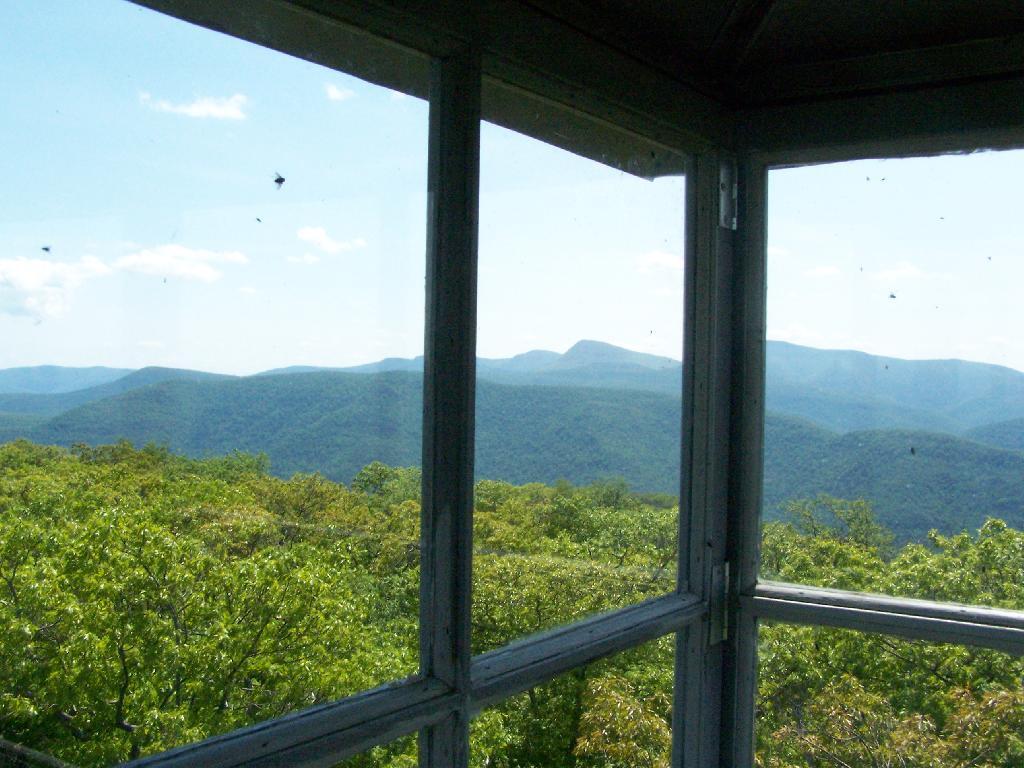
Here’s Devils Clove. Some reflections are noticeable from trying to shoot through the windows of the Fire Tower cabin.
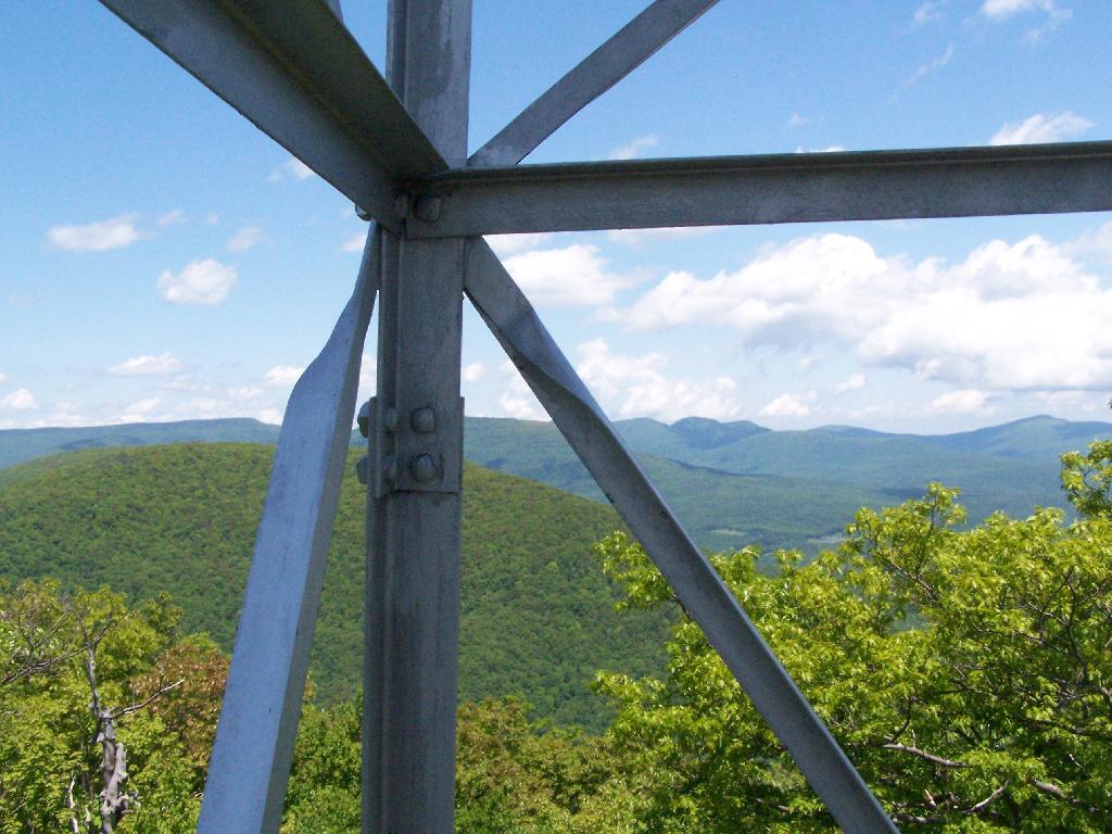
Slide Mountain through the windows of the tower. It was hot up there, and the bugs and glass made it hard to get pictures. I tried to open a window in the tower, but the latch wouldn’t budge.
Descending the tower.
I walked a ways onto the blue trail beyond the tower, searching for other views, however there are no views except on the tower on Mount Tremeper. A nice hike for sure, but I would have preferred some views where I could sit down, have my lunch, and enjoy the edge of the mountain.
View Hiking in 2009 in a larger map
