Search Results for: map public lands of central ny 2

Where to Camp in Black River Wild Forest

I have spent a lot of this past summer exploring the Black River Wild Forest, and decided it would be a good to share my experiences and some of the roadside and other campsites I’ve discovered along the way. As of September 2011, Lands and Forests in Albany doesn’t have these campsites in the central inventory, so all of this campsite data is based on personal exploration of these campsites.

North Lake.

Some of the best camping in the Black River Wild Forest is North Lake in Atwell. There are 22 campsites — many of them vehicle accessible along this man made lake. The southern end of the lake has some private houses and cabins on it, but it still is relatively pristine and beautiful. Most sites have outhouses and fire pits. Some but not all sites have limited wood supply. All sites designated.

Motors are allowed on this lake — as are on all wild forest lakes — so don’t be surprised to hear a jet ski or small boat on there. There are no public boat ramp on lake, so only hand launched boats can get on the lake.

Click to download or print this map.

Total Greenhouse Gas Equalivent, by Country

South Lake.

South Lake is another Erie Canal Corp / Black River Reservoir near North Lake. There is a single large campsite on South Lake, with a private in-holding on the other side of the lake. There may be other campsites here, as I didn’t explore this whole lake. There is an outhouse here, grassy field for camping, fire pit.

Click to download or print this map.

Hudson Valley

Reeds Pond.

There are a couple of campsites along Reeds Pond, North Lake Road, and Farr Road as you head up to North Lake from Forestport. This pristine, but relatively small pond is fairly popular for camping.

Click to download or print this map.

 Beaver Flow State Forest

Wolf Lake Road.

There are 5 fairly remote roadside campsites along Wolf Lake Road, as you head down to Woodhull Lake. Note also how there are lean-tos at Bear Lake and Woodhull Lake. The roadside campsites have no facilities, and some can be muddy as they are not hardened with gravel.

Wolf Lake Road has recently been rebuilt and resurfaced with gravel, however spring rains did lead to one part that may lead low-clearance cars to bottom out. Camp on this road, and your unlikely to see more then 2-3 people drive by on any particular day.

Be aware that the last 1/8th of a mile to Woodhull Lake is gated, so you’ll have to carry your boat the rest of the way down to the lake.

Click to download or print this map.

Adirondack Lakes

Remsen Falls.

Remsen Falls, which probably should be called “Remsen Rapids”, is a popular swimming place, and offers two well used campsites. There is an outhouse and picnic table down here. The trail follows a gated dirt road.

Click to download or print this map.

Roadway

Intensive Use Confusion Over Moose River Plains

Recently, the Adirondack Park Agency adopted several changes to Moose River Plains Wild Forest in the master map of the Adirondack Park. One of the biggest changes was to convert an area around Moose River Plains Road and Red River Road into an “Intensive Use Area” known as the “Moose River Plains Camping Area” (MRPCA), to allow campsites to remain that are within 1/4 mile of each other, which otherwise would violate the Adirondack Park Land State Master Plan (APLSMP) for Wild Forest.

The change is pretty slight, described as in Moose River Plains Intensive Use Area Plan (PDF):

“The proposed MRPCA will look very similar to the existing roadside uses in the MRPWF. The sole purpose for proposing the creation of the MRPCA is to allow roadside camping in higher density than can be allowed under wild forest guidelines. Although the APSLMP will recognize this newly created intensive use area as a campground by definition, the overall management goals include protecting the wild character of both the MRPCA and the MRPWF. The Department intends to manage this area in a manner that is much more reflective of wild forest guidelines, with the exception of the camp site separation distance guideline. The management responsibilities for the MRPCA will remain with the Division of Lands and Forests and will be regulated under those parts of NYCRR 6 Part 190 that are applicable to the adjoining wild forest lands. Due to the close relationship between the MRPWF and the MRPCA any future revisions to either UMP will require an assessment of potential impacts on both units and possibly a revision to both UMPs.”

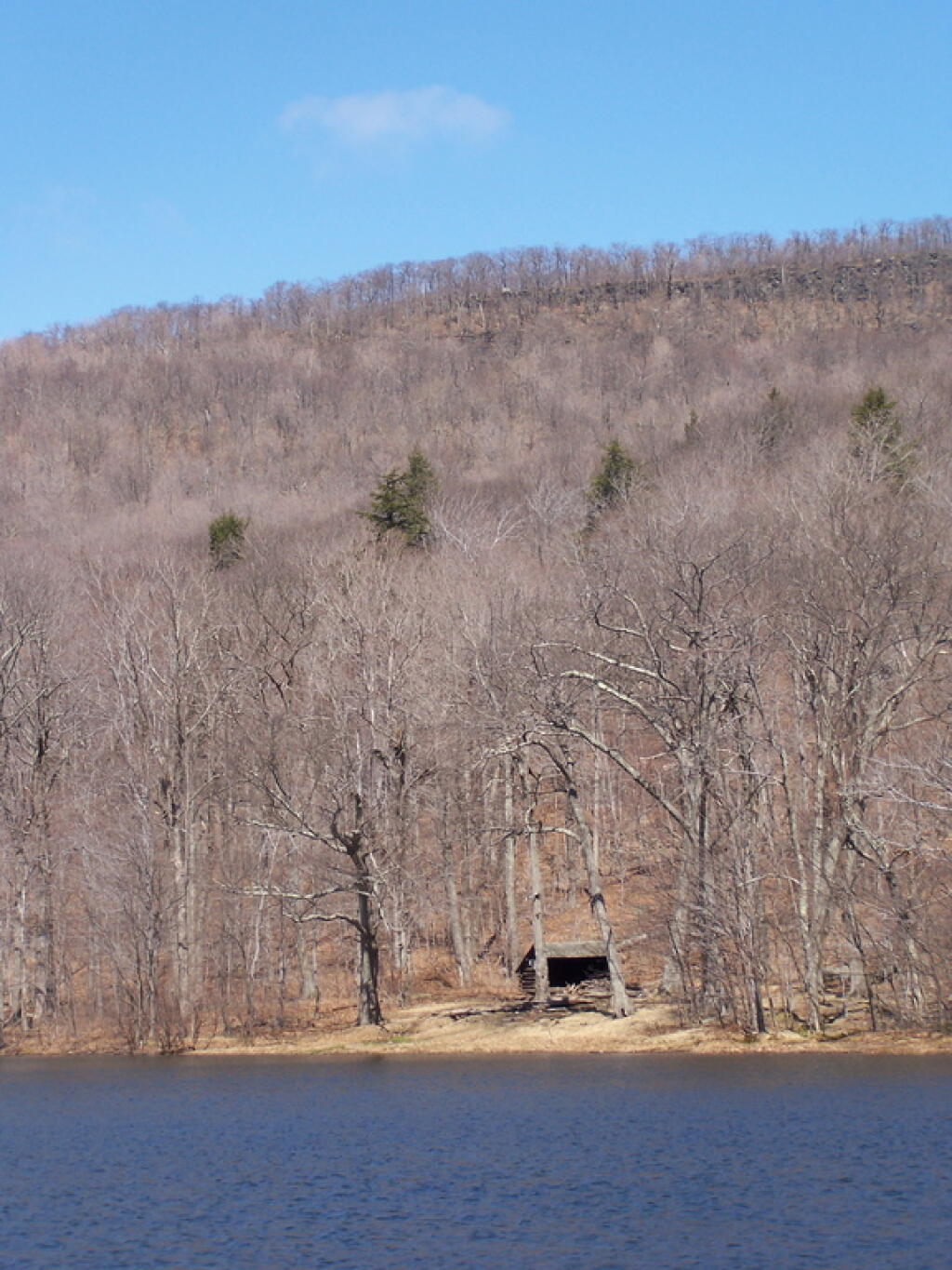
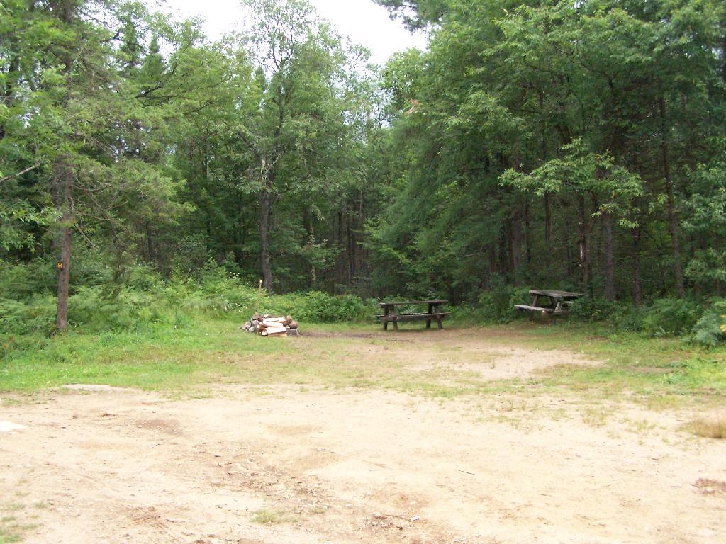
“Unlike other intensive use area campgrounds in the Park, amenities such as bath houses, playgrounds, and paved drives are not ever going to be considered for the MRPCA. What is envisioned for the MRPCA is up to 150 roadside campsites along approximately 20 miles of roads through the MRPWF. These sites will have fire rings,pit privies and picnic tables as their only amenities. Some of these sites are relatively close to the road, while others are several hundred feet back and are accessed by short driveways. A majority of these sites will be comprised of existing sites, some fairly well separated from other sites and some clustered in small groups. This provides for a variety of camping opportunities depending on what users are seeking. Existing sites that are very close to the road may be relocated to a location that provides better screening or may be converted to parking areas with a walk‐in site located a short distance from the parking area. Any newly constructed sites will be located in a manner to provide vegetative screening between the site and the road.”

The confusing part of this comes into the fact these lands will be considered “Intensive Use”, which is essentially a symonym for “DEC Campground” in APLSMP. While few people read APLSMP, many people buy maps and go onto websites to figure out where they are going to camp.

 Cascade Falls

Map makers, especially those not from the Adirondacks will likely fail to distinguish between the Moose River Plains Camping Area, and a more developed campground like that of DEC Campground Limekiln Lake, DEC Campground Eight Lake, or DEC Campground Indian Lake. Indeed, this what concerns the DEC in the MRPCA plan:

“Although use levels within the current MRPWF have been fairly stable for the past several years, the creation of a new area, even if only by name, may initially result in an increase in camping use of the area.”

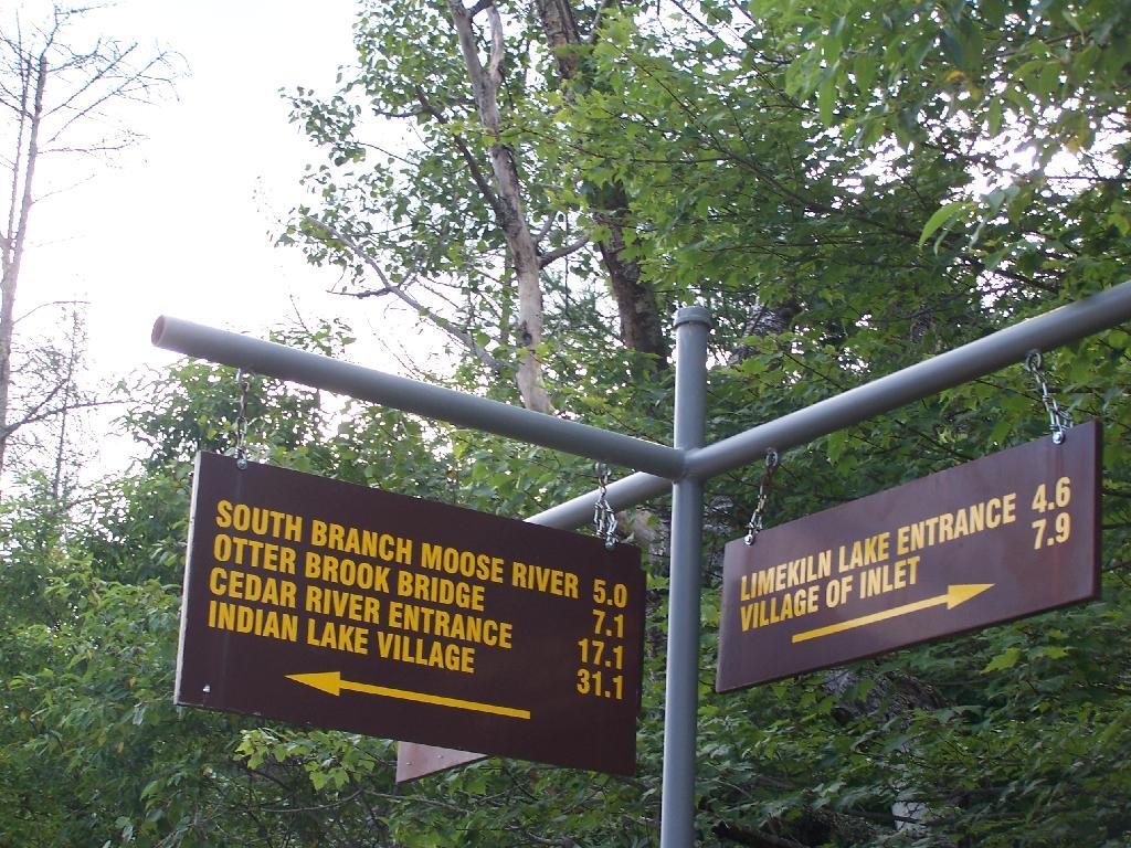
“The creation of the MRPCA will create some challenges in educating the public as to what to expect within the area. As the area will not charge fees, nor will reservations be taken, users will be arriving at the area without the benefit of knowing what site they may be camping at. Users will need to drive through the area and locate a site that is suitable for their needs. In the unlikely case that no sites are available, users will need to be educated as to what alternatives exist in the general area. Providing information at the two entrance points, Cedar RiverFlow and Limekiln Lake, will be an important part of informing users of the type of opportunity available in the MRPCA. It will also provide an opportunity to provide information on alternative locations should the MRPCA not meet their expectations. Additional information will be made available on the Department’s website and inthe revised unit brochure for the MRPWF.”

If these changes make it to the DEC website it would be helpful…

Yet, we know the DEC often does not put important information on it’s website, and indeed it seems likely the Division of Operations which operates the Limekiln, Eight Lake, and Indian Lake Campgrounds would fight to avoid including a “free” camping area that could directly compete with their $25 a night sites, that offer only minimally nicer ammenities such as centralized trash dumpsters, flush toilets, and showers. Moose River Plains, if promoted by Division of Lands and Forest could canabalize the business of these other campsites.

Site 57 in the Plains

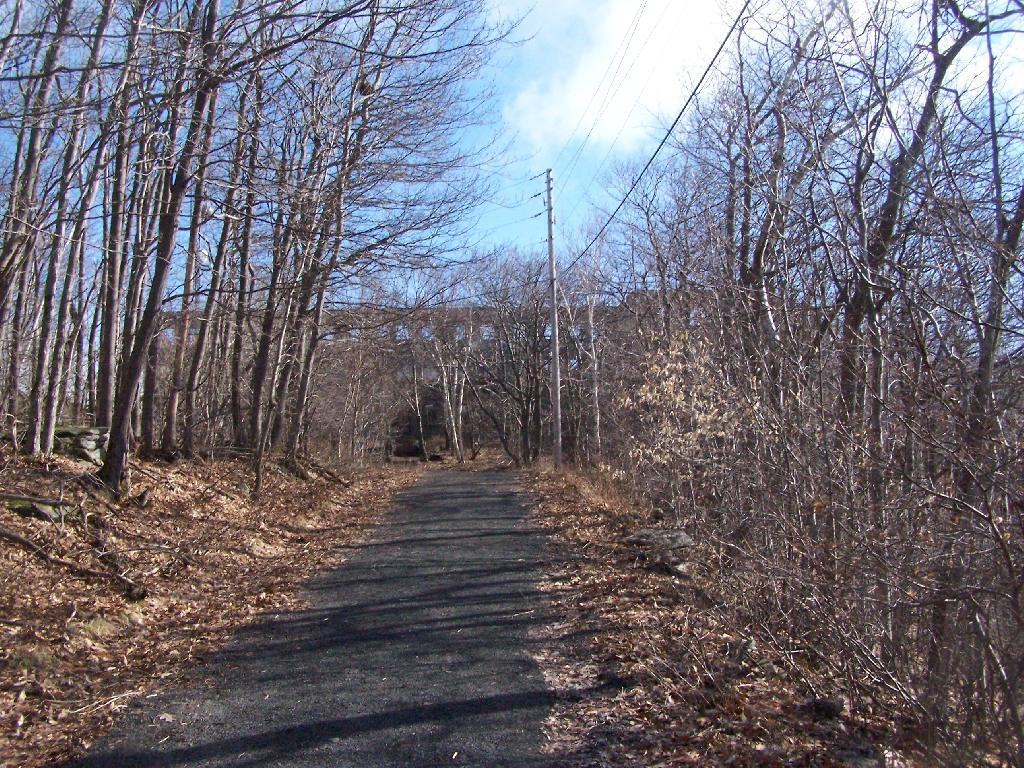
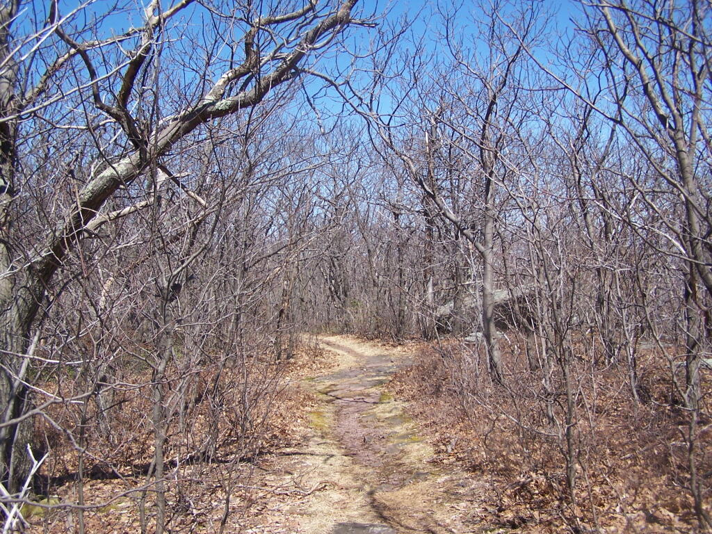
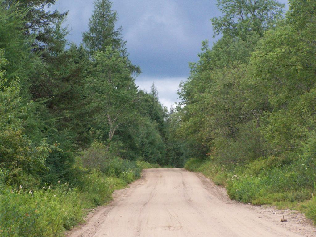
People will be in for a surpise if they come up here, looking for an established campground. Roadside campsites are spread out over 20 miles, people are often 30 miles from the nearest gas station. The roads are rough, they can be challenging in places to travel with a car. Without regular patrols and surrounded by vast Wild Forest and Wilderness on four sides, the possibility of people getting lost grows. Already, people get lost up here, but with additional promotion through the name change — and the attraction to those unfamiliar with the Adirondack tradition of roadside camping, it’s only asking for trouble.

Thunderstorm Coming to the Plains

The changes to the Moose River Wild Forest may be needed to keep the majority of the camping sites open and compatible with the APSLMP, but it seems as though converting Moose River Plains Road to Intensive Use, and indicating it on maps as such, only will lead to more confusion.

Only 31 Miles to Indian Lake

The state should instead admend the Adirondack Park Master Plan:

  1. Make existing “road-side” legacy campsites less then 1/4 mile separation legal.
  2. Require only new campsites that are developed to have the 1/4 mile separation.

Overlook Mountain

This past weekend’s Catskill Mountain hike was a return to Overlook Mountain, the first hike I took when I was working on my Hiking Merit Badge back in Boy Scouts. I also chose it because it was a quick hop down Route 9W or Thruway from Albany.

Radio Tower

Not getting as early of a start as I would have liked, I arrived at the trail at around 8 AM. There was only one other car when I got there, it was packed by the time I leftbe aware if you plan hiking there. It was a nice clear morning on Sunday, and I made it up to the Catskill Mountain house around 9 AM, and to the fire tower around 9:30 AM. It was an easy hike up, following a well maintained authorized-vehicle only road, although somewhat more difficult psychologically, as you could see a quarter mile or more of the road, as it sloped uphill, sometimes at a 10-15% grade. It was not particularly warm at this hour, but I stopped frequently to snap pictures and stay hydrated.

Approaching Catskill Mountain House

The ruins over the Overlook Mountain House (2.0 miles from parking area on Meads Mountain Road), was bigger then I last remember it. It was too bad it burned, although it’s kind of neat how the general public can inspect it and think how grand it must of been in the 1920s when it opened, and people drove up there in their Cadillacs of the era. I walked around and snapped some pictures. Then I went up to the fire tower, about 1/2 mile further. It was windy, and it appeared there was a gate closing it off, but I pushed it open and went right up. I didn’t go all the way to the top at first, because I have a little bit fear of heights remaining. I snapped several dozen of pictures.

Ashokan Mountain

There also is a trail with southerly view, allowing you to sit and look out over the Hudson River, Woodstock, mountains South of Overlook, and the Ashokian Reservoir. I can’t imagine how beautiful it must look in summer with everything nice and green. I took some notes, pictures, and just gazed at the landscape.

Thru Tower

I then decided to head down the mountain. But it was early, around 11 AM, so I decided to go for a hike down to Echo Lake. It looked pretty from the fire tower. I had forgotten I had been down there, during the Boy Scout hike, until I reached the turn off for the Echo Lake trail. The trail from the fire tower to Echo Lake trail turn off, also known as the Overlook Mountain Blue trail, is a gentle descent, following a long abandoned old woods road, complete with extensive grading for travel by automobiles. It’s no longer passable by cars, but remains of the fairly extensive cut and fill can be seen. Some snow and ice where on the trail, and parts where muddy, but no part too bad. This section is 2.0 miles.

Echo Lake Turn Off

The yellow trail down to Echo Lake is somewhat steeper. You descend a lot of altitude in 0.6 miles. Echo Lake is relatively small, but pretty. There is a lean-to down there, along with an established camping area near the lake. The lean-to appeared to be well used and older. It arrived there around noon time. Spend about a half hour there.

Blue Trail

The trail from Echo Lake back up to the fire tower was not a bad hike. Passed several hikers, and made it back to the fire tower around 1:30 PM. It was amazing how much the light had changed in 3 hours. It went all the way up the tower this time, as the wind wasn’t blowing so hard, and also to the overlook. Around 2 PM, descended the trail and headed back to the truck. I arrived back around 2:45 PM. It was an easy hike down, although you had to keep holding yourself back.

Leanto In Valley

See more photos from this hike in the Central Catskills Photos Series.

Hikers – Trail Head
House – Catskill Mountain House Ruins
Flag – Overlook Mountain Fire Tower
Tent – Echo Lake Lean-To