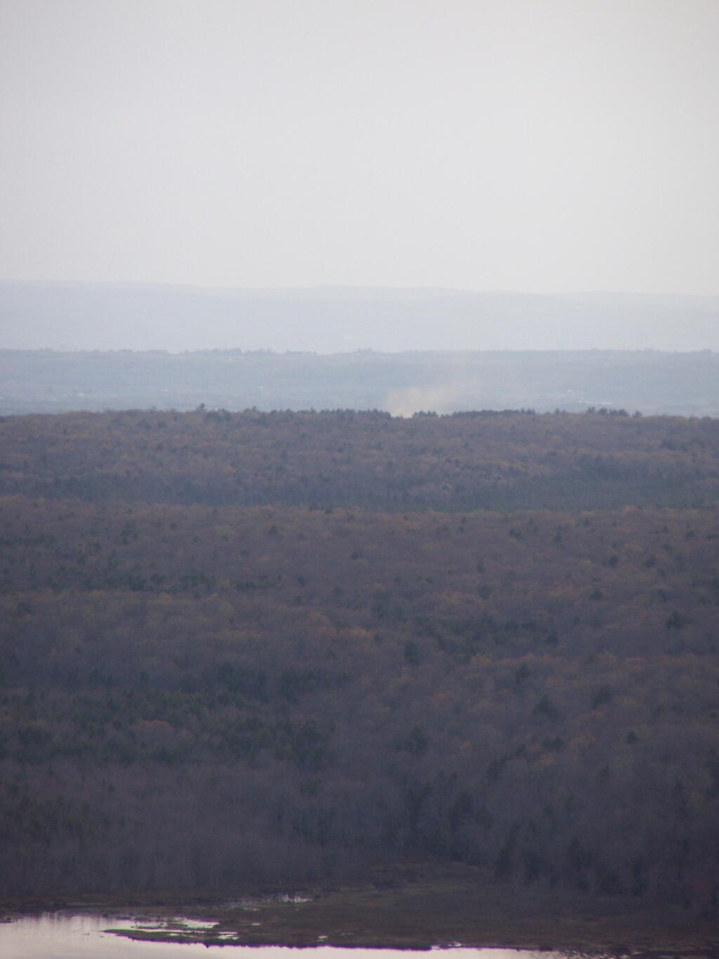
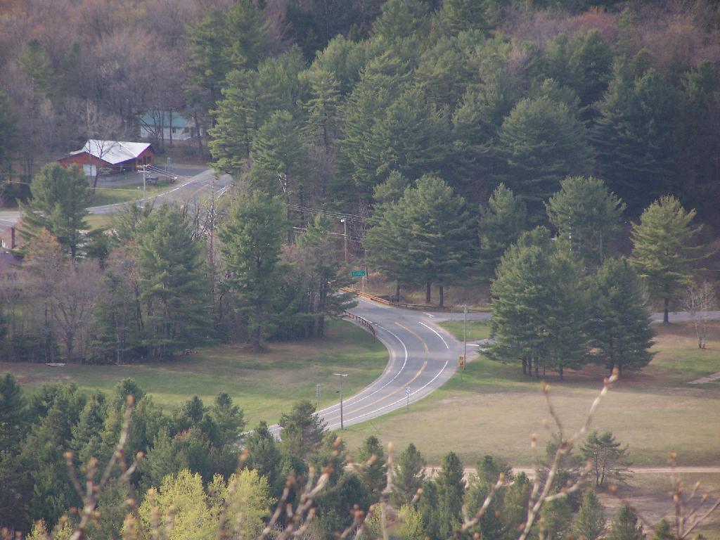
House Fire ? Andy | April 24, 2010 I heard fire sirens when climbing the mountain. Could this be the fire, near Pleasant Lake? Saturday April 24, 2010 — Kane Mountain Fire Tower
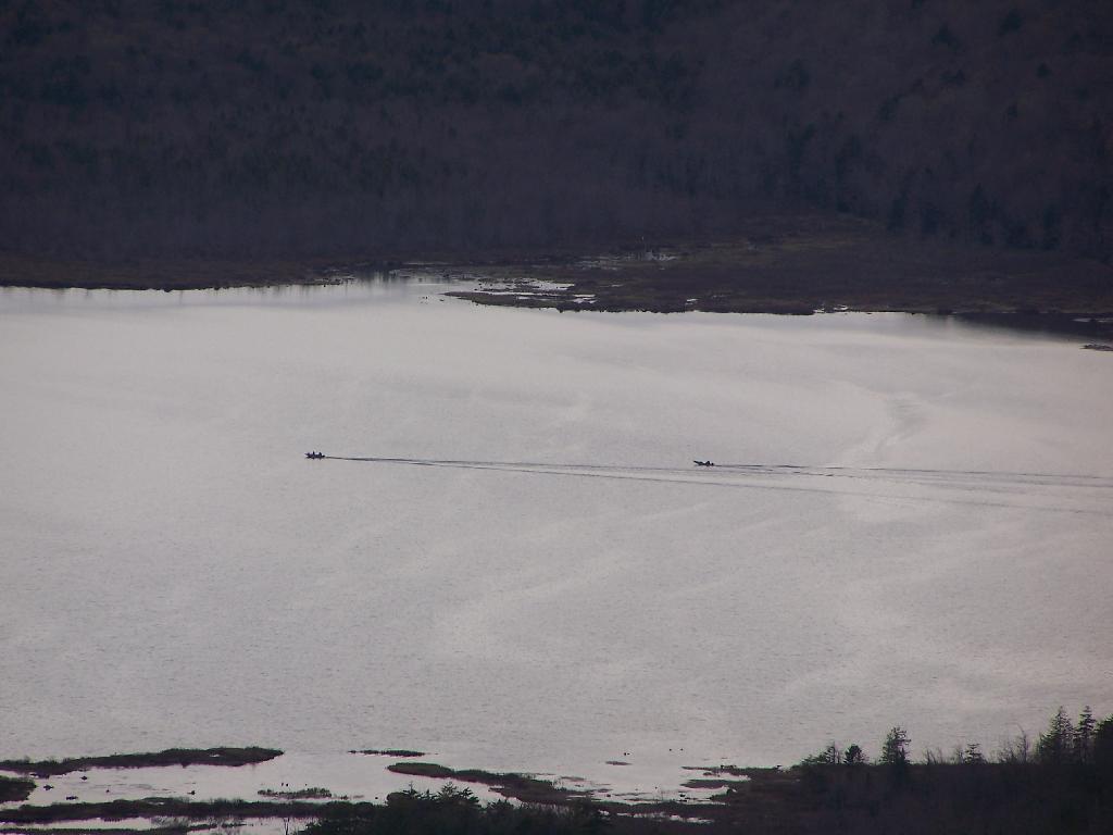
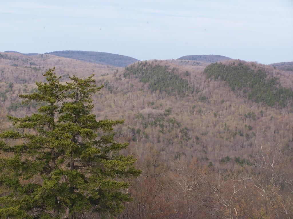
Boats Race Across Canada Lake Andy | April 24, 2010 Saturday April 24, 2010 — Kane Mountain Fire Tower