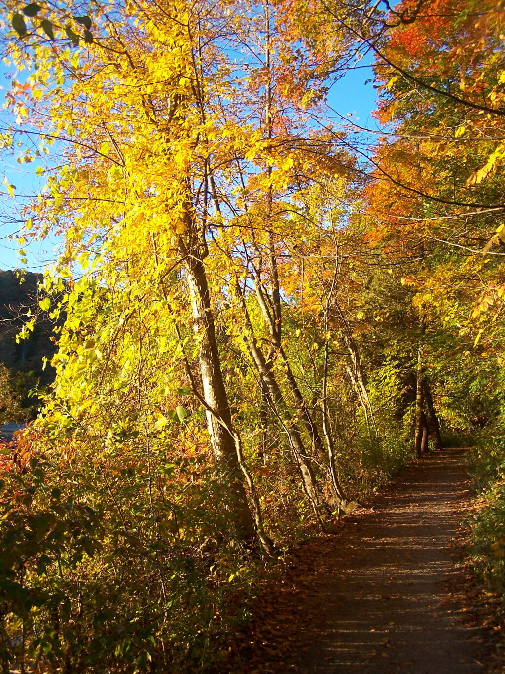
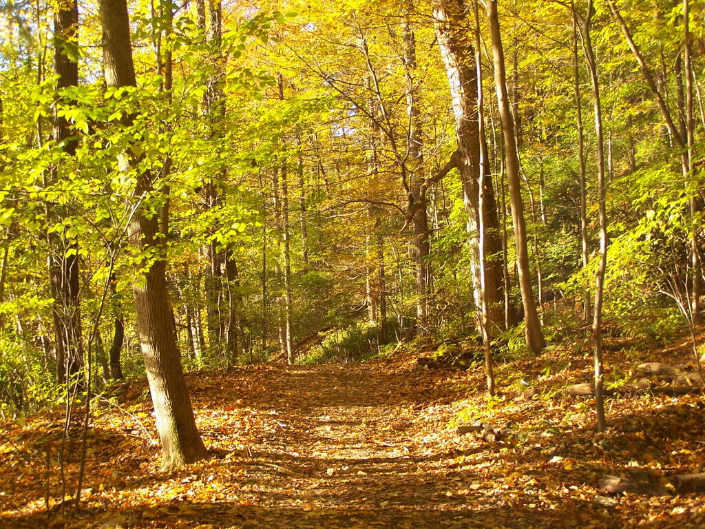
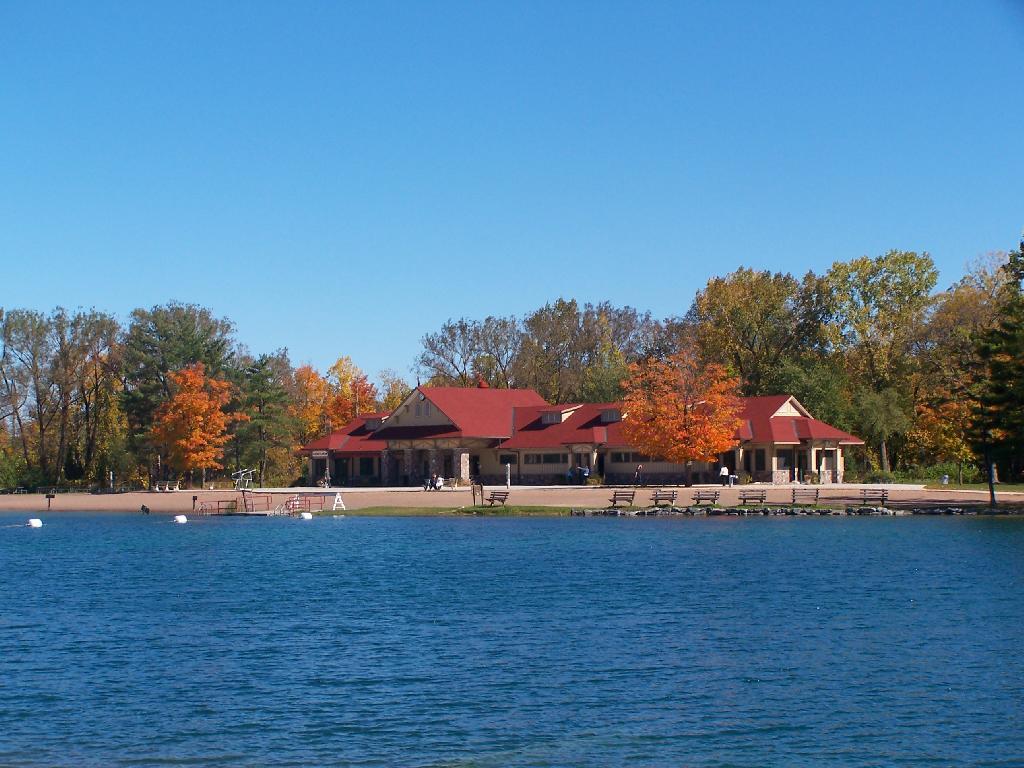
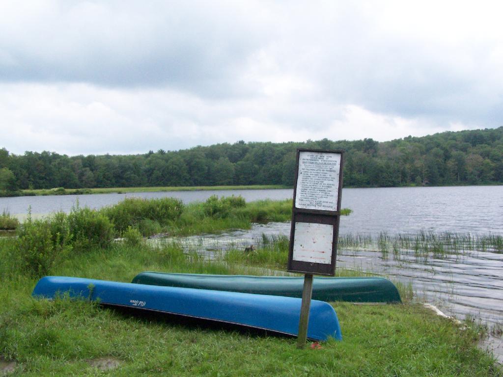
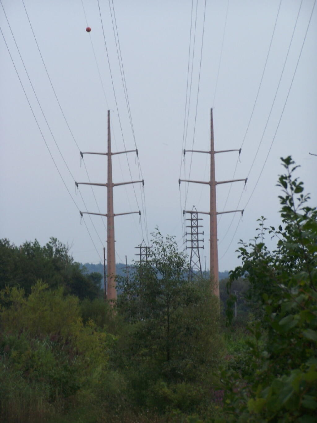
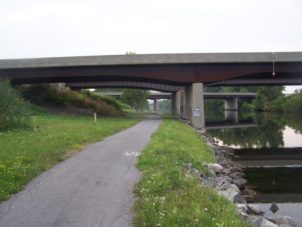
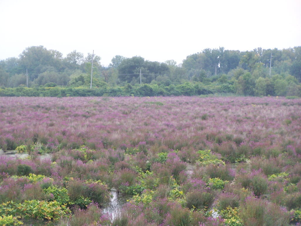
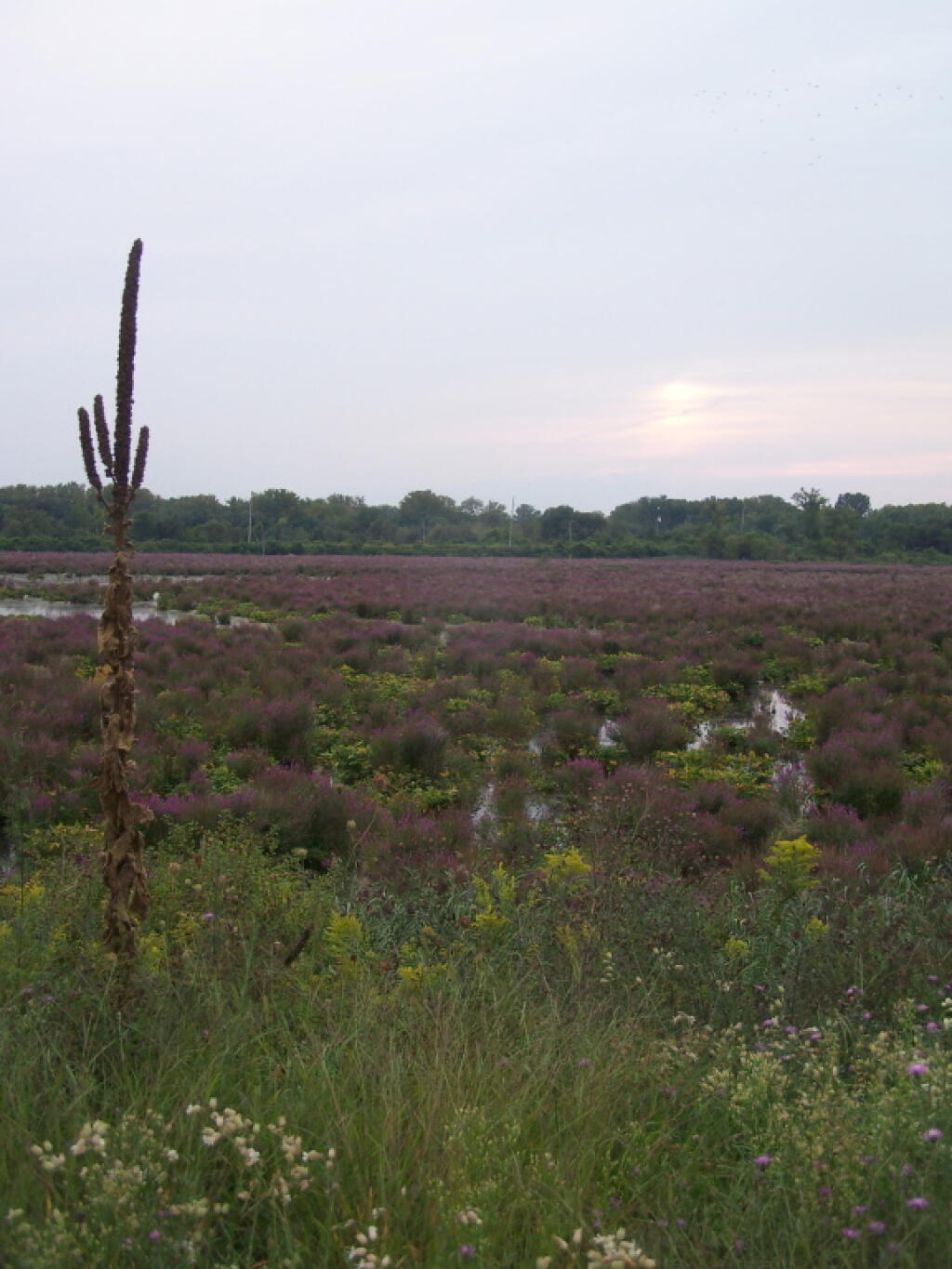
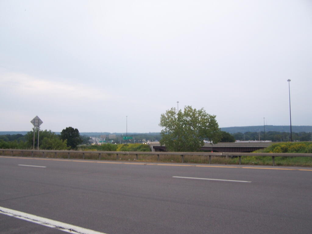
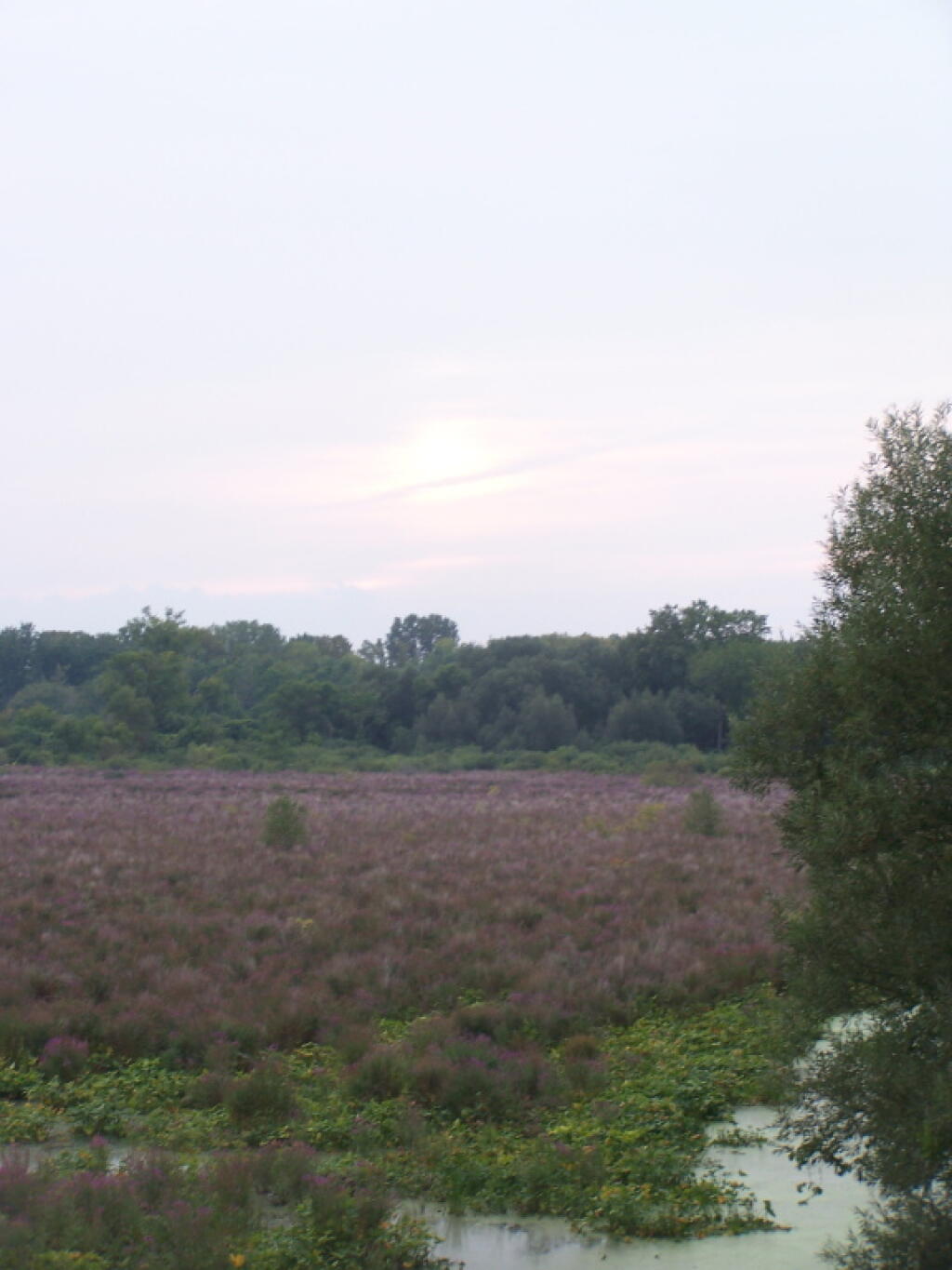
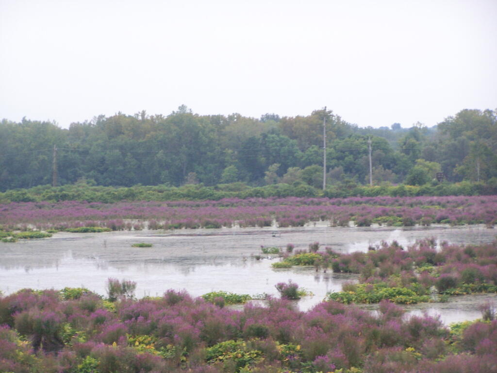
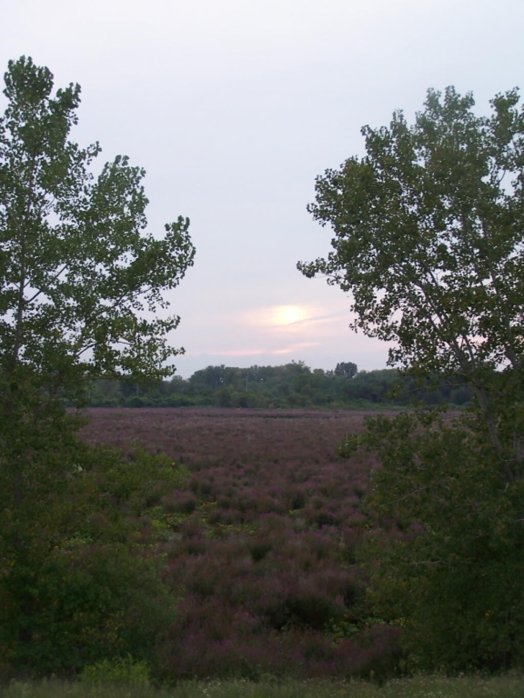
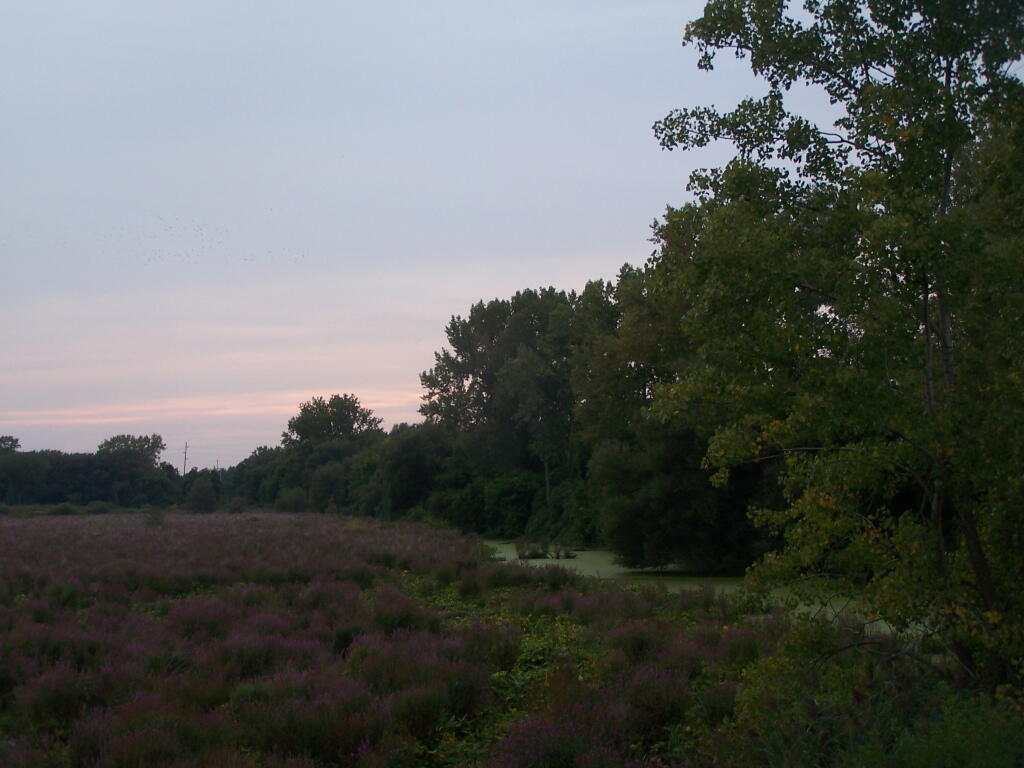
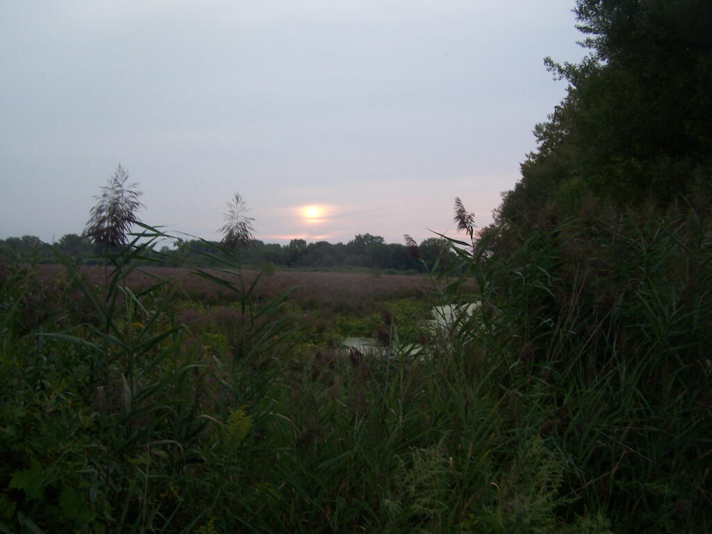
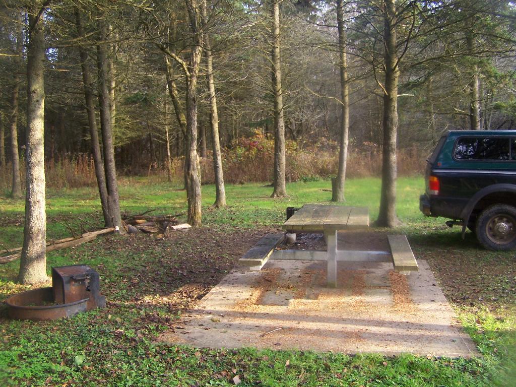
Despite the Utica Marsh being located right off of I-790, and easily viewable from a car speeding into Utica from the North, it’s not quite as easy to get to as a pedestrian, as the former Barnes Avenue Bridge is closed off to all but pedestrians. You now have three options if you want to see the Utica Marsh up and close:
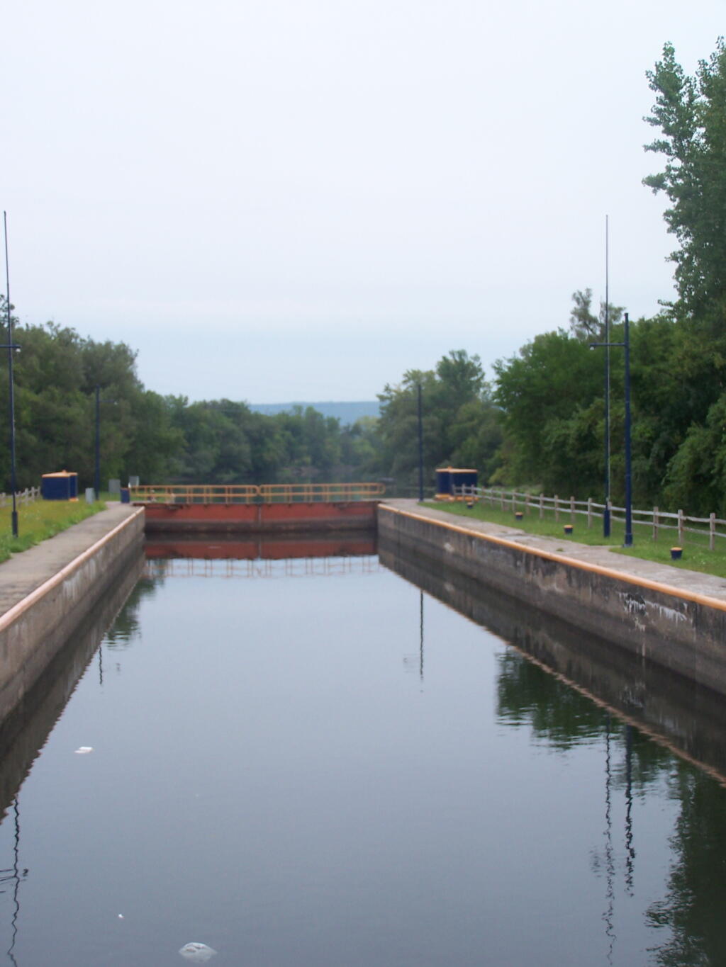
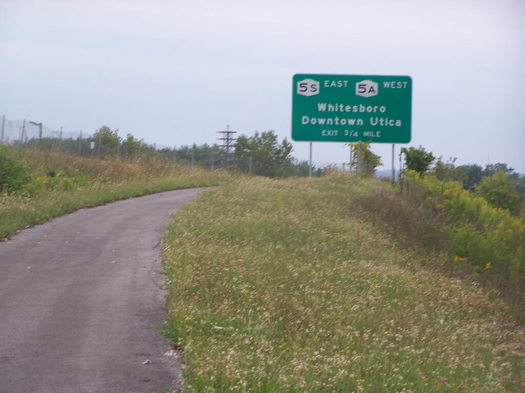
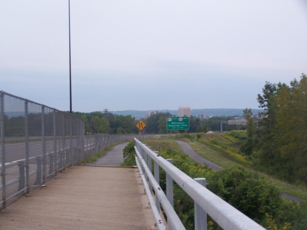
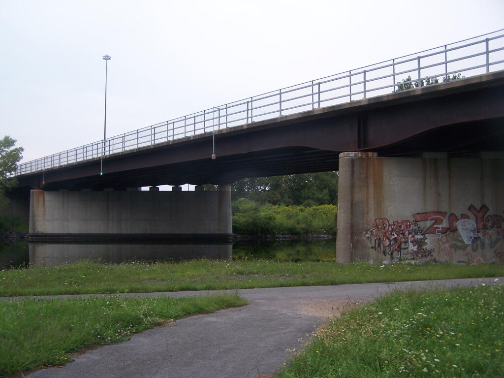
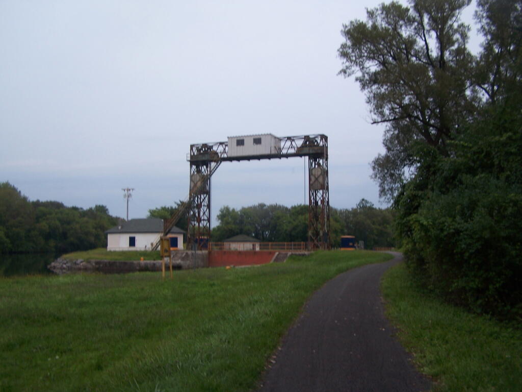
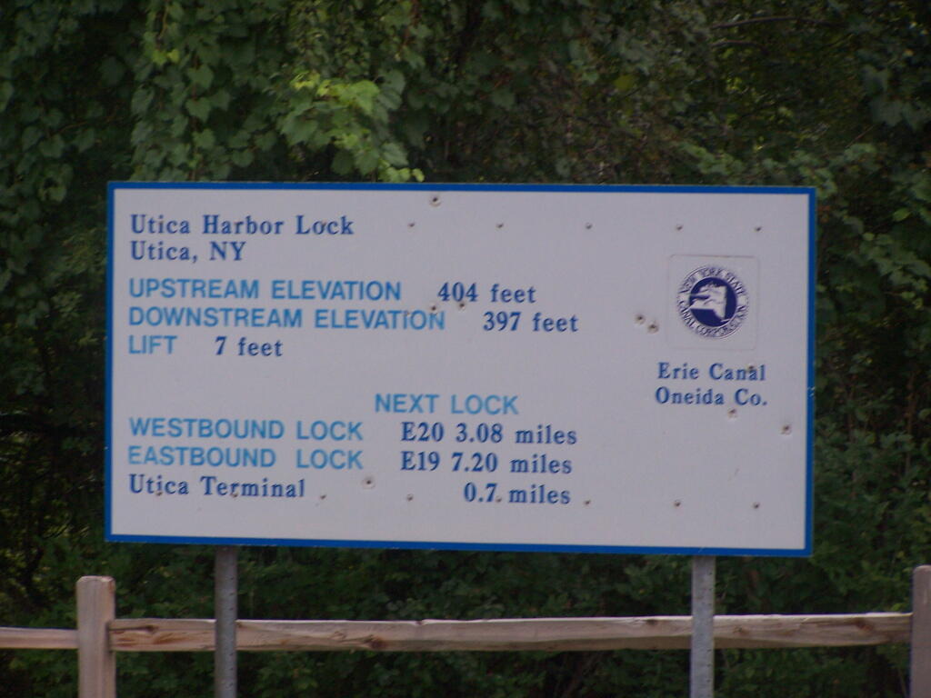
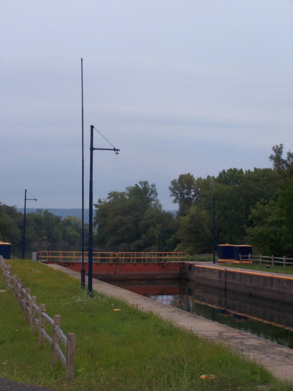
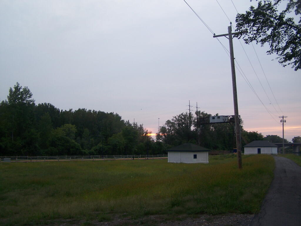
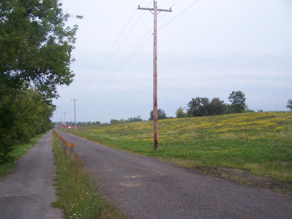
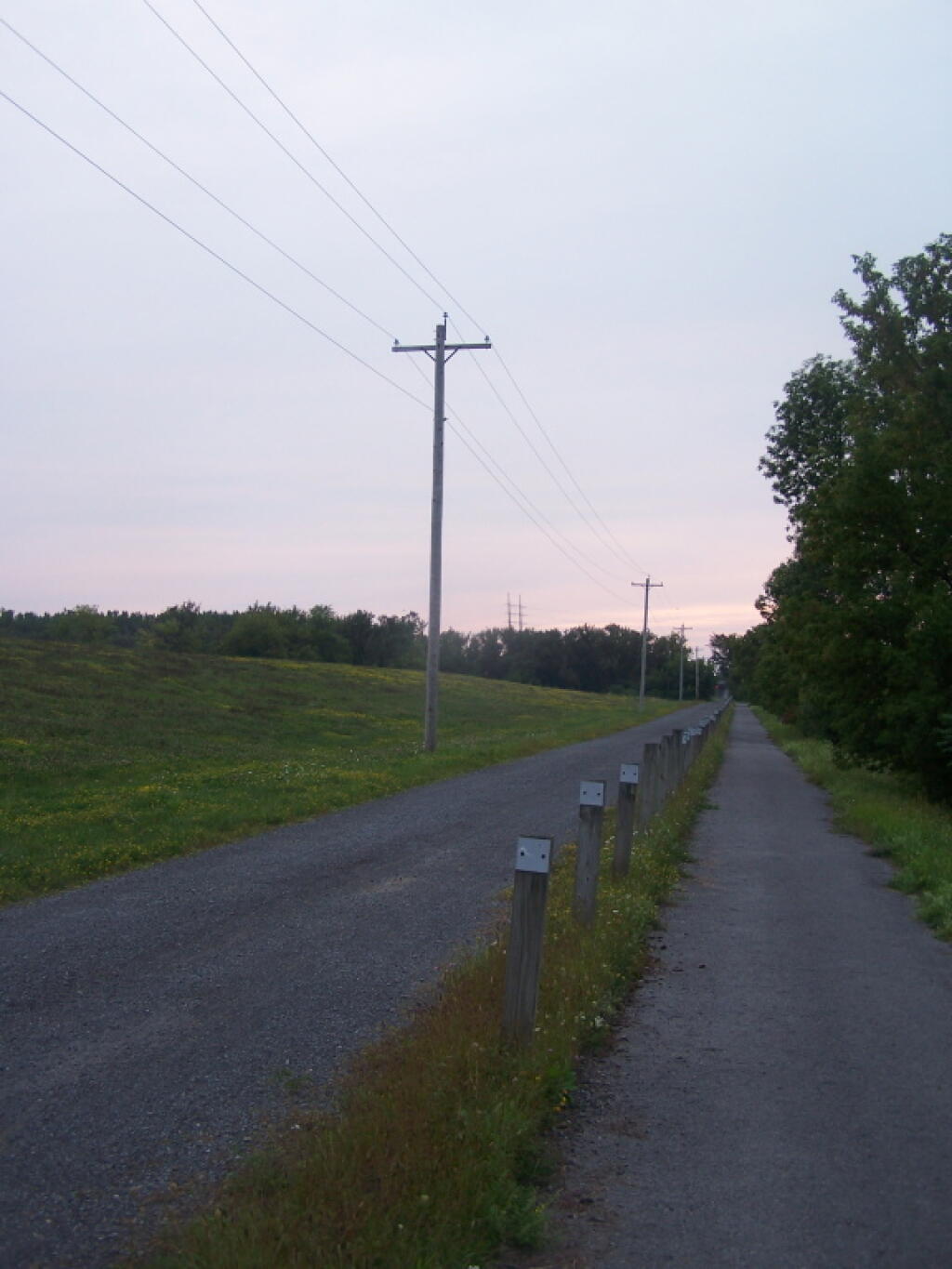
Park at the North Genesee Street Park and Ride / Harbor Lock Area, and follow Erie Canal Bikepath west, past NYSDOT building, past an old Utica garbage dump, over the Utica Harbor Lock, under I-790 to Utica Marsh. Roughly 1 mile.
Park at the end of Barnes Avenue, and hike over abandoned Barnes Avenue Bridge along abandoned junkyard, to Utica Marsh. Roughly 1.5 miles to over look, but views along western marsh when you hike in this way.
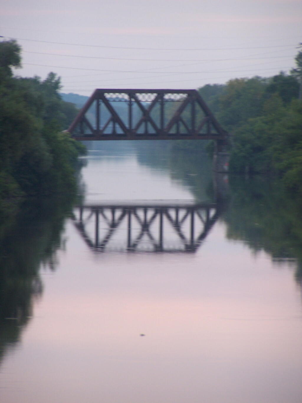
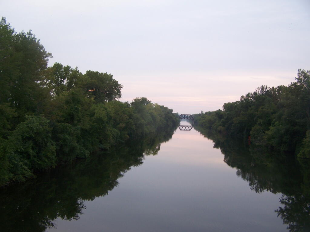
Kayak from somewheres on Erie Canal (e.g. somewheres around Utica, Whitesboro, Rome) to underneath most westernly I-790 bridge, pull out of water, walk like 100 ft to Marsh overlook.
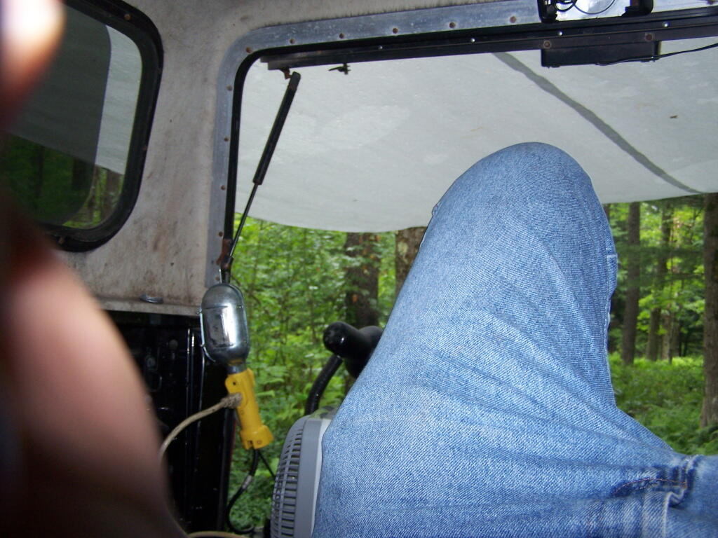
I didn’t have my kayak with me this particular weekened, so I chose the Park and Ride lot. Nice hike, and you get to check out the Utica Harbor Lock — and actually cross it too. I didn’t particularly care for the gritty urban neighborhood that Barnes Avenue is located in, and didn’t feel safe parking there. So I recommend parking at the North Genesee Avenue Park and Ride Lot, which is just south of the Erie Canal, when you get off the Thruway.
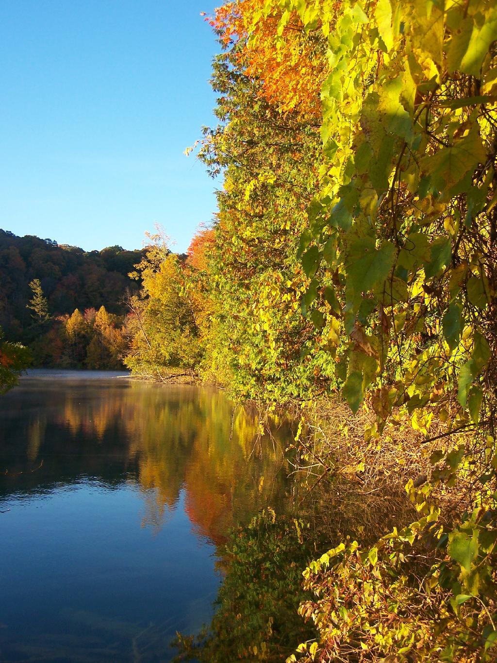
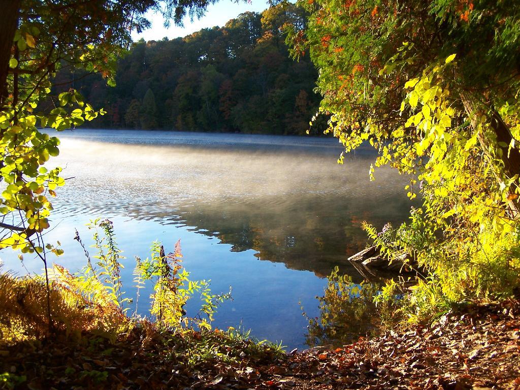
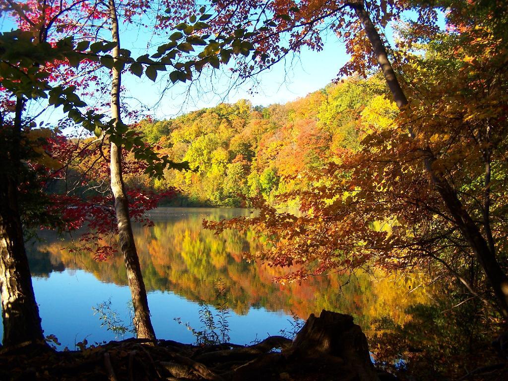
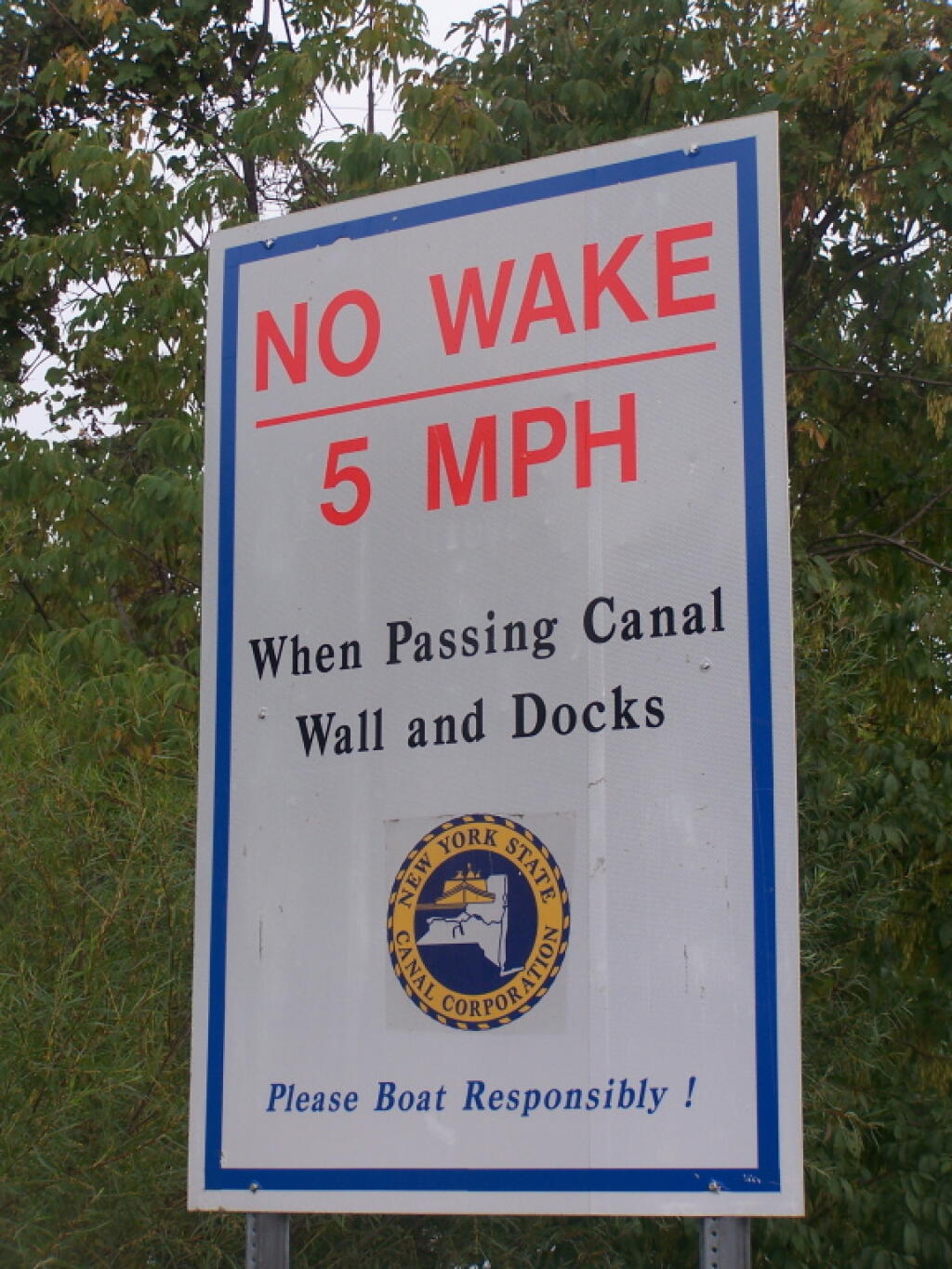
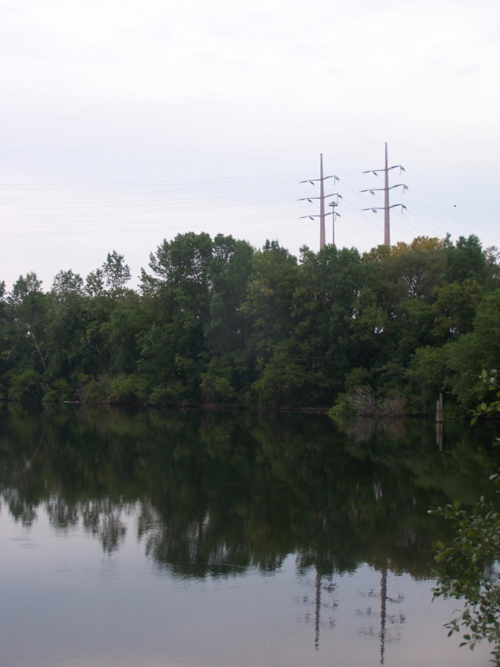
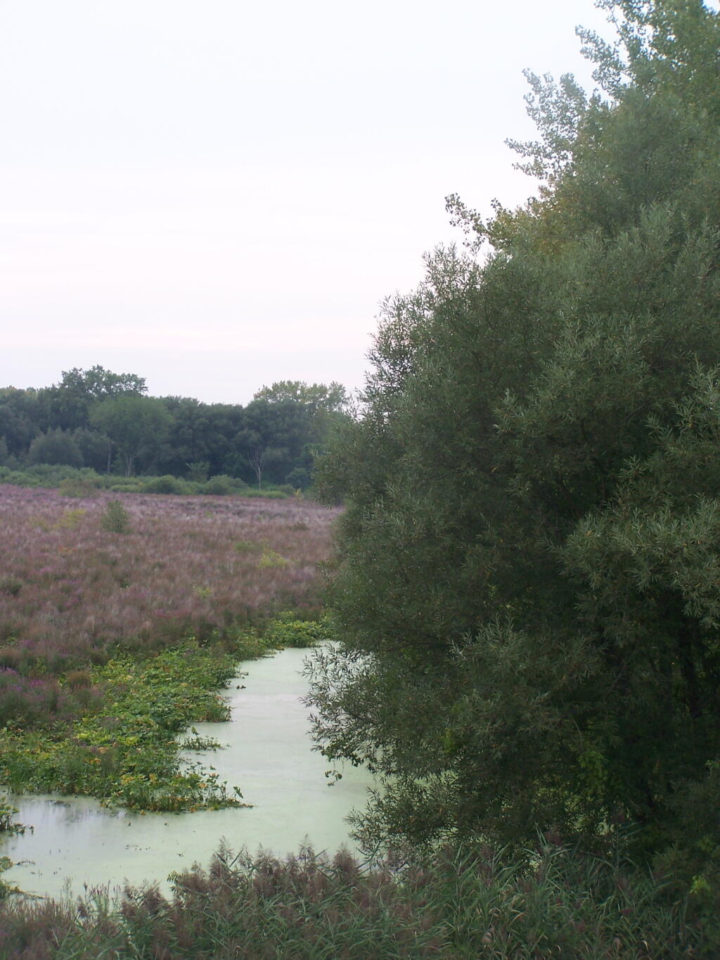
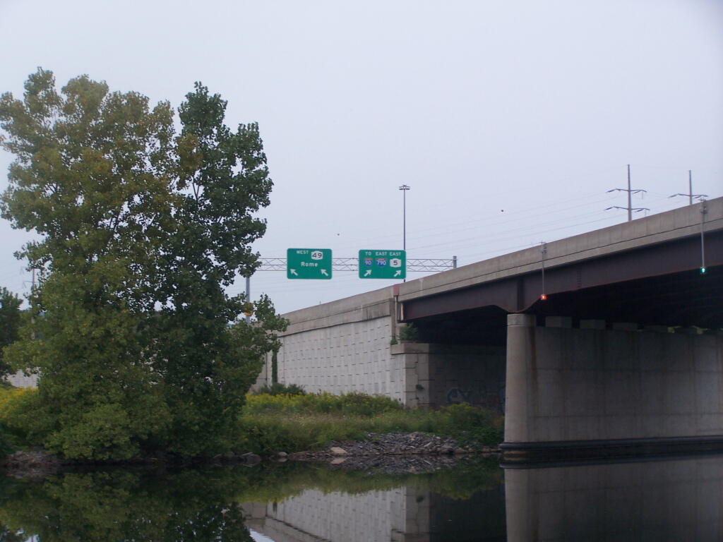
You might want to include this in a kayaking trip along the beautiful Erie Canal in this area. While this is urban Utica, the reality the canal is cut into muck soils of the Mohawk River headwaters, and while much of the land is either landfilled or tiled for agriculture around it, it’s still very beautiful kayak ride with only one lock between South Utica and Rome.
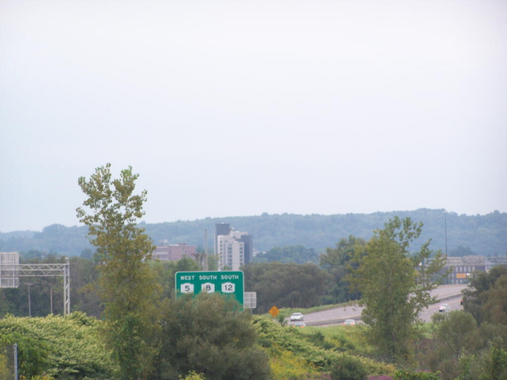
This is a really good trip to make when returning from the Adirondacks in the evening — take NY 12 from NY 28 South to the Thruway. Or if your heading West to East in NY State, not a bad stop for an hour or two. Or you can head North from Madison County on NY 8. All worth the trip!
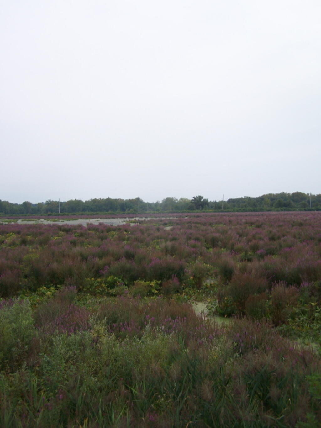
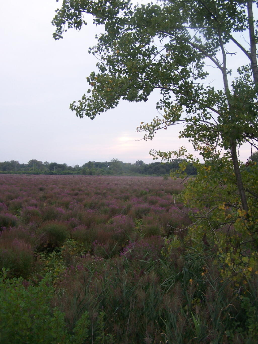
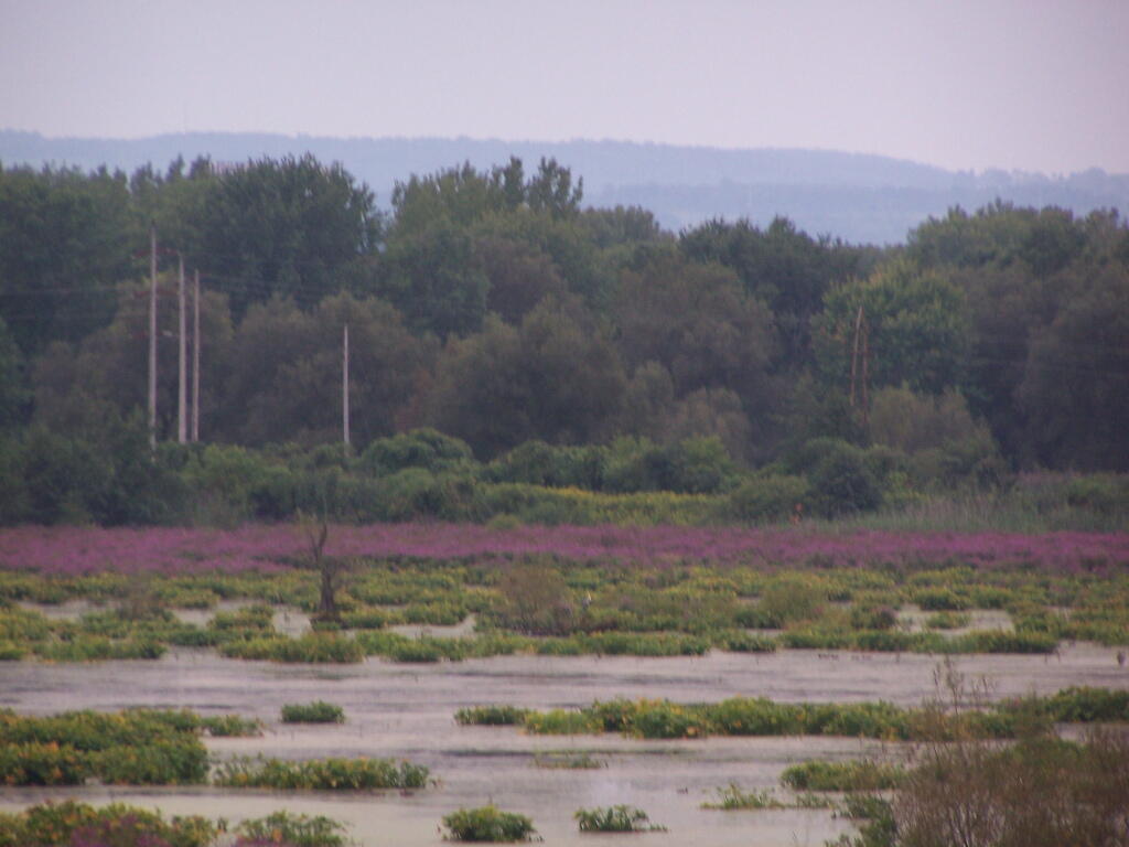
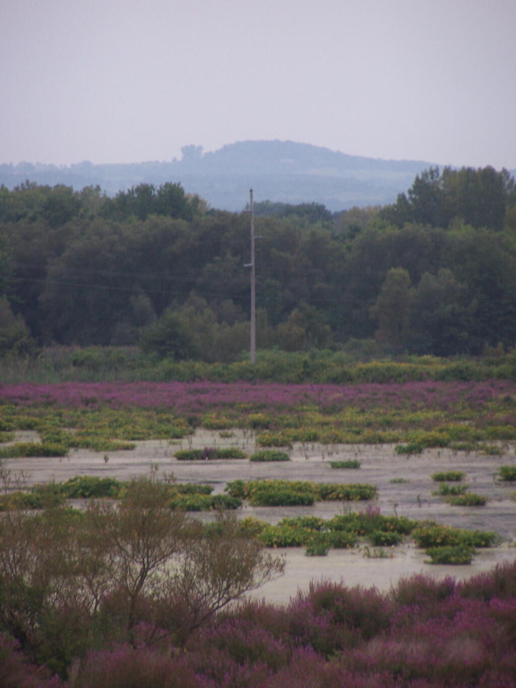
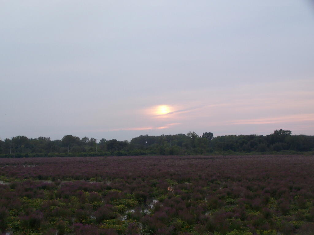
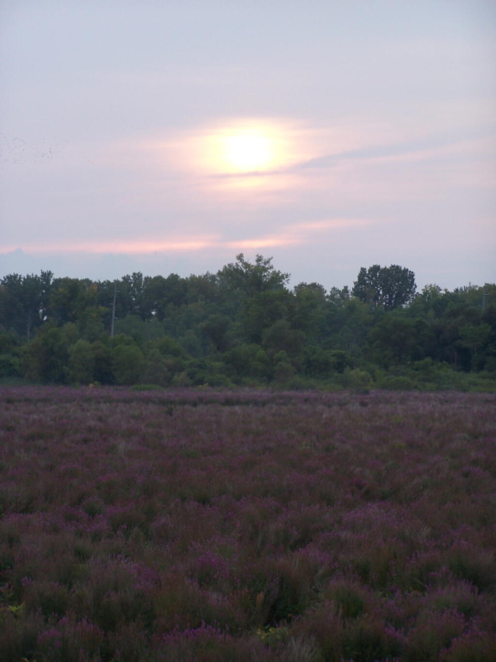
… I hope you enjoyed these pictures, and do check out this urban preserve.
New York State requires you to get a camping permit if you stay in a spot or a campsite for more then 3 nights. I have never bothered to get a permit, unless the rare times I see a forest ranger, and he asks me to fill out a camping permit. I generally do not get camping permits, because I don’t stay more then 3 nights in any one spot – if I was a hunter, setting up a base camp in big game season – it might be different.
Pros.
It shows that you are using the land, providing justification for the DEC to spend more funding on that piece of land versus another piece of land.
It’s nice to stay at one site for an extend period, if you plan to stay in that general area, so you don’t have to pick up and remake camp every couple of night.
You don’t have to necessarily camp at a designated spot or farther then 150 feet from road or water if you get the permit for another place.
In case you are reported lost or injured, the forest ranger knows where to look.
There is no charge, and all you have to do give forest ranger a call with your license plate and other basic information.
Cons.
You have to plan where you are going a couple of weeks in advance to give the forest ranger a change to mail you the perm
Staying in one place leads to more wear on the campsite.
It can be be boring to camp in one site for an extended period.
Do you really want to tell the government where your camping, so it can track you?
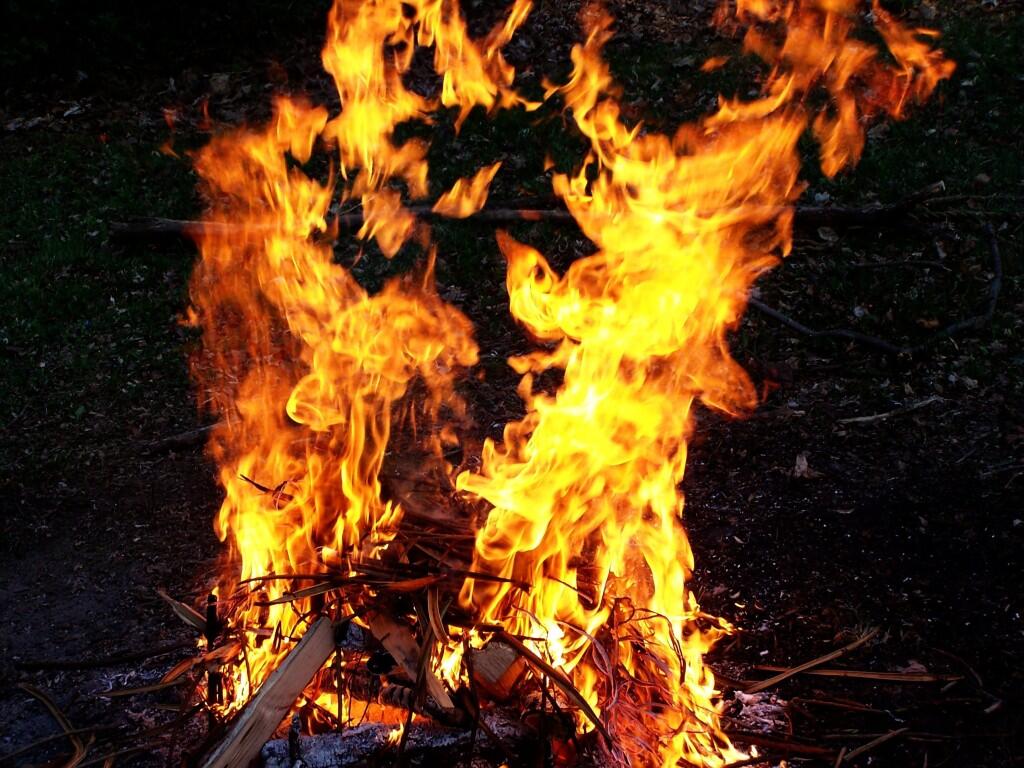
One of the things I look forward to is the first campfire of the year. I have not been camping since December, and with temperatures starting to warm up, it seems like the it won’t be long until I’m camping again.
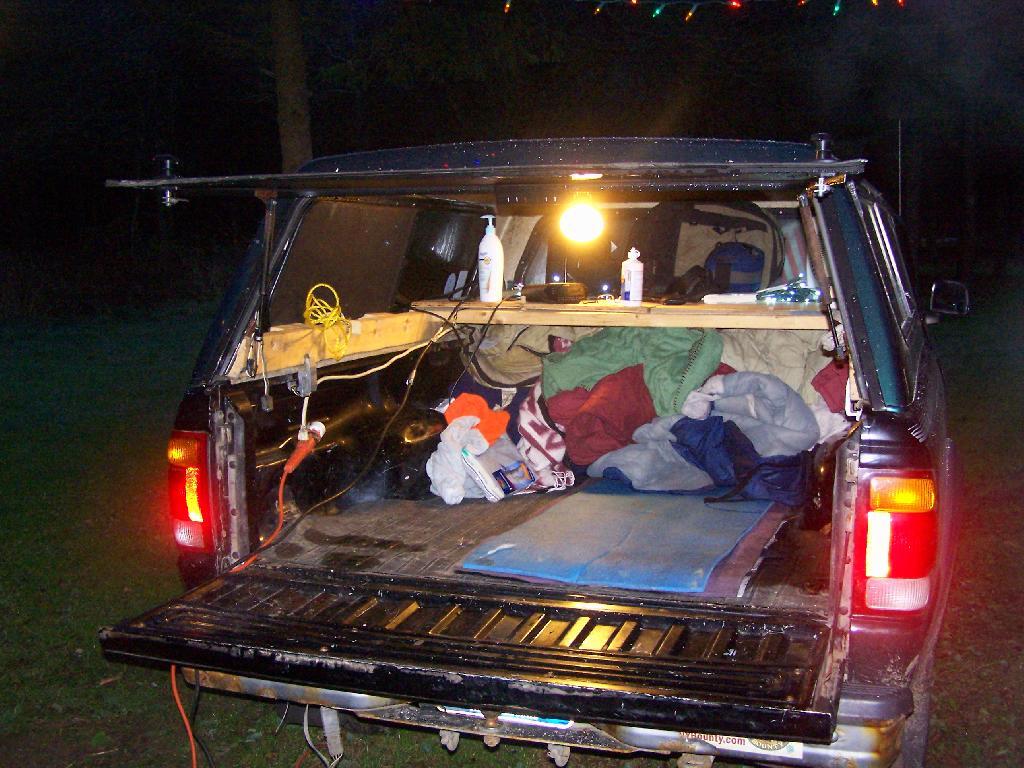
It all starts by gathering up some tinder and some small kindling wood. Crumbling up some paper, stack some kindling. Get out a match, crack open a beer and maybe some honey roasted peanuts. Sit back on the tailgate or a lawn chair, slowly adding fuel to a good fire gets going.
Make some dinner up. Maybe clean up a fish I caught, or something else I brought on in. Fry it up in a cast iron frying pan over the fire, or cook something in a dutch oven. Sit back and listen to the evening news on the radio and maybe some music, as I enjoy dinner.
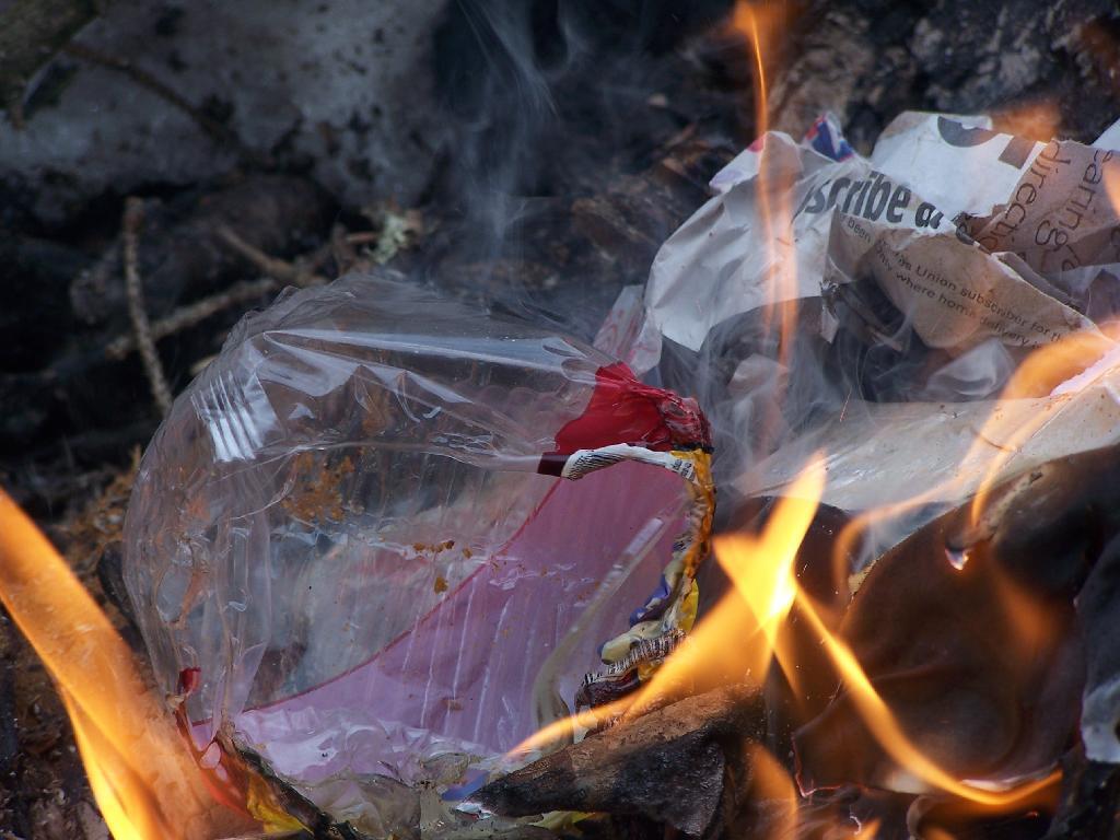
Toss some more wood on the fire. Clean up the pots and pans, burn up the dinner’s trash. Turn on the lights, sit back and read a book. Look up at the stars and the moon. Watch the fire roar along as the hour gets late. Sit back, and get ready to call it a night.
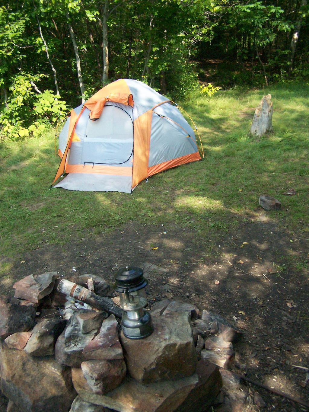
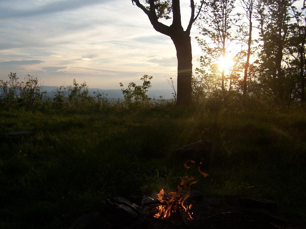
On my way down to Pennsylvania and on my way back to Albany, I spent a two nights camping out at Sugar Hill State Forest, lower Assembly area. While the area is primarily designed for equestrians, it does offer a person who seeks drive-in camping without a permit in Finger Lakes Region a place to stay.
On the Sunday night driving down to Pennsylvania, there was nobody else around but a bow hunter I saw in the morning. On Friday night, there where a lot of horse owners, because the Upper Assembly-area was closed for the winter. I drove around, hoping to visit the fire tower a top the Assembly area. Unfortunately, it was closed for the year. I did get some interesting shots from Tower Hill Road, heading up there, looking down at Seneca Lake.
On the other side of the ridge from Tower Hill Road, you can see Keuka Lake. It looks a lot different this time of year then in other times of year. I do wish I could have seen it from the fire tower, although I guess the fire tower has limited views due to trees growing up. I could have hiked up to the tower, but it’s a ways back, with the road gated off.
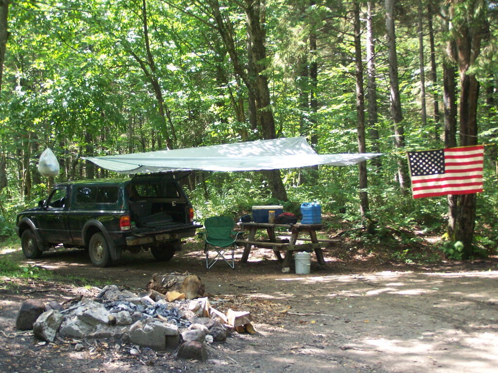
Next I drove down to Birdseye Hollow State Forest / Sanford Lake. Got lost. I know this time of year you don’t need camping permits for it, but it looked it was only tent sites. Things where pretty grown up, and it was getting late. I ended up driving back up the hill, to Sugar Hill, and settling in at the Lower Assembly area. On Sunday night, all the horse campers had packed up and gone back home.
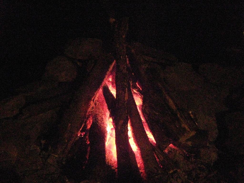
I proceeded to make baked zita in the dutch oven, over a warm open fire. Somebody had left firewood from the previous weekend, and there was ample dead and down wood nearby in the forest, so I really nice warm fire.
I like the campsites down at Sugar Hill, although I wish they offered more privacy. Yet, I guess that’s not how Assembly areas work at horse camps. That said, on a Sunday evening, there was nobody else around. It was a bit more crowded the following Friday, for my return trip. It was a nice night, and great meal.
Morning unfortunately came early, with the change of day light savings time, and it was dark when I set my alarm clock for 6:30 AM. Yet I knew I had a big day ahead, driving down to Pennsylvania, so I was before dawn. But eventually the sun rose over the pines of the Lower Assembly day, and it was a beautiful morning.
I packed up my gear, headed across a muddy truck trail to get packed up, took kind of a bath using a tea-kettle with hot water, and I was on my way to Pennsylvania. The camera lens kind of was fogged up from the cold.
The drive to Pennsylvania was spectular, especially just South of Sugar Hill in Coon Hollow (really a wide valley), with beautiful farms lining the road, and tall mountains surrounding it.
As a side note, I also stayed here on Friday, November 12. There where a lot of equestrians that where using the area by around 9 PM, with lots of horse trailers. Many came late. This Lower Assembly area doesn’t get much use in the summer, compared to the Upper Assembly area, but this time of year with the Upper Assembly area closed, many where down here for the weekend. Weekdays, you’ll probably be alone camping here — especially in the winter.
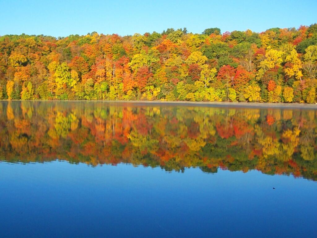
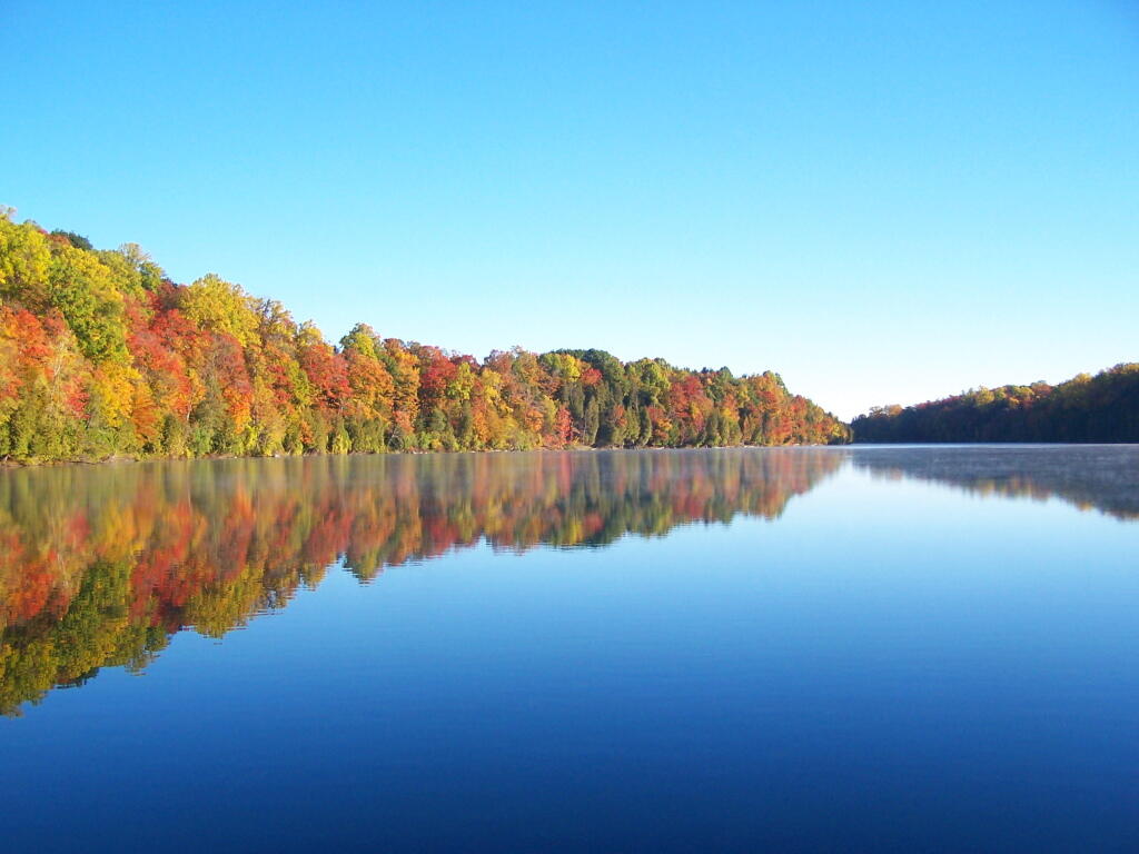
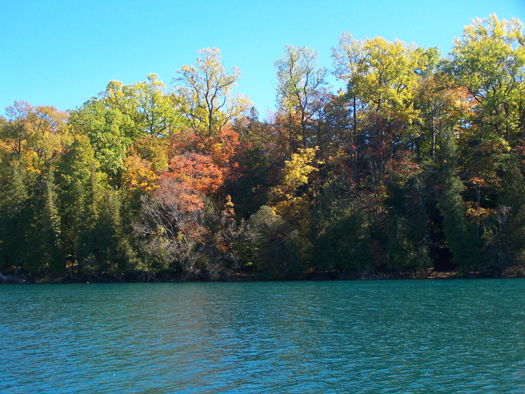
Green Lakes State Park beautiful and unique state park featuring mineral rich waters, meromictic ecosystems, and old growth forest outside of Syracuse, NY. I went out for a 1.5 hour walk along these lakes on a beautiful fall morning around 7 AM.
It is a three mile walk around both Green Lakes and Round Lake, and is very popular for crazy suburbanite joggers, which will try to run you over when you go for an early morning walk. In the day time in the fall it’s even more crowed, though there is no entry charge after Labor Day Weekend
Watching the sun rise across the lake.
The colors along the trail as the sun rose where spectacular.
As I walk along the very colorful tree line along the lake.
As the fog rises on Green Lake and over green lake.
Walking over to Round Lake and watching the colors of the trees reflect on the lake’s surface.
On a brightly lit trail around Round Lake as the sun filters through the colors of fall.
And dozens of color reflect upon Round Lake.
Then I walk over to Green Lake with the colors at peak on a very beautiful fall morning.
From the southern edge of Green Lake, there is this pretty little point jetting out into the Lake.
I proceeded to walk along to the western Edge Of Green Lake to see the bright colors across the lake. This is from the point shown in the previous photo.
One last view of the colors, as I return back to my truck.
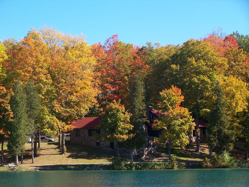
The Old Administration Building at Green Lakes (taken the previous afternoon).
The New Administration Building at Green Lakes.
Note: The best time for peak folliage at Green Lakes State Park is during the Columbus Day Weekend in October. This is when I was out hiking here. If you want to visit it during the most pretty part of the day, make sure to get here right at the crack of dawn, which occurs about 15 minutes later then surrounding areas, due to the low elevation of the lakes.
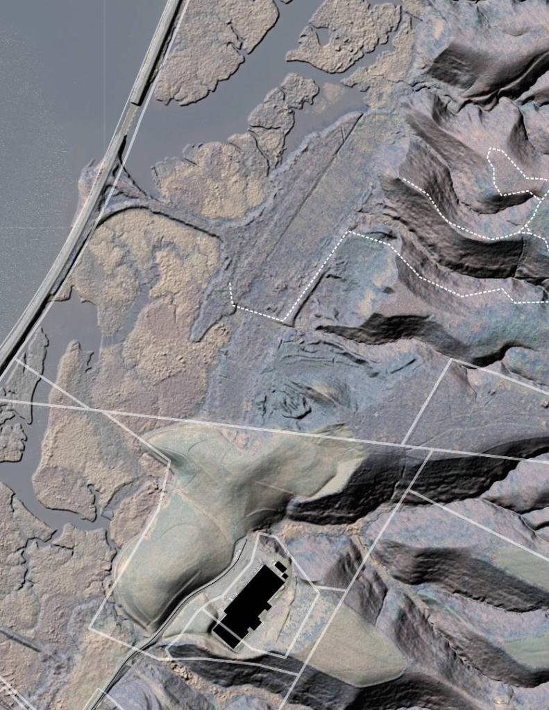
Here is a map of the walk around Green Lake and Round Lake. If you are doing it in the morning, it’s best to walk around the Eastern Shores first for the sunrise, and the Western Shores second to see the colors on the leaves.
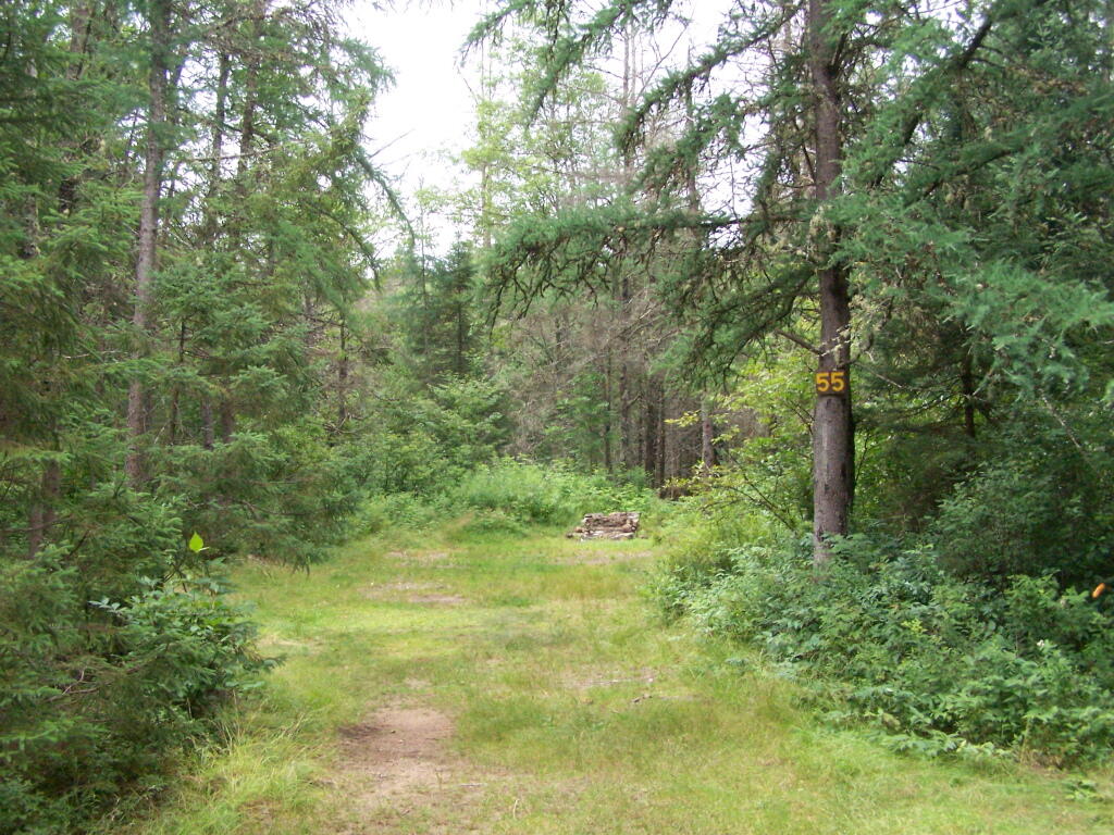
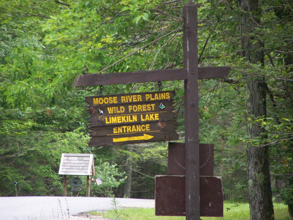
One of the things that I’ve puzzled over for for some time, is the practice of hiding officially designated roadside camp sites and primative camping areas from their website and from offical signage on primary roads.
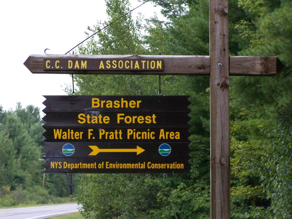
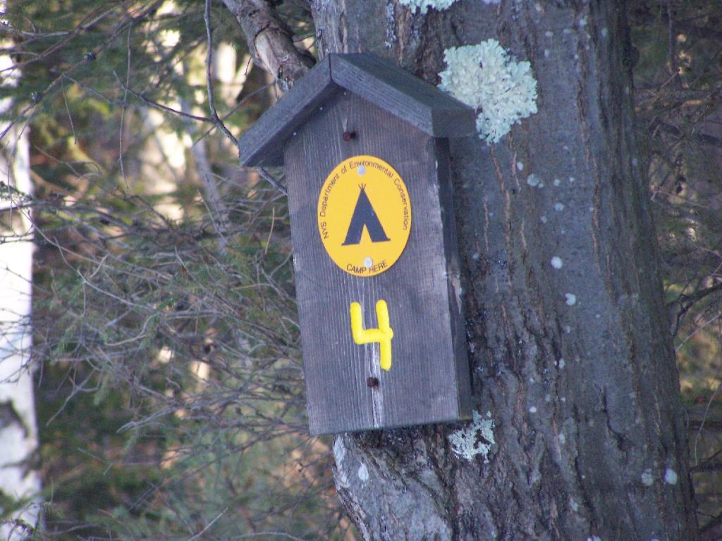
The DEC never puts a sign up along a road saying “Camping Area”, although they do often designate individual sites along the roads with smaller markers. It’s always signed as “C.C. Dam Assocation”, “Moose River Plains Wild Forest”, “Mountain Pond Fishing Area” with no information on camping activities, despite having dozens if not hundreds of designated road-side camping sites.
It’s not like people can’t figure out where primative campsites are located by searching the Internet for other web sites, driving around on state truck trails, checking topographic maps, studying Unit Management Plans, and talking to people who have been their previously. Things are not really hidden, it’s that DEC just doesn’t make it obvious.
To make matters worst, the DEC varies greatly in their policy towards putting campsites on their online interactive mapper. Some camping areas are not included in their interactive mapper at all, while other are in part or whole. Some designated camping areas on the mapper, require a free permit from the DEC, although you would never know it from the website.
The DEC also does not provide public access to the shape files used to draw the data in the online interactive mapper. Despite one’s repeated attempts to contact the Department for acess to that shapefile, the GIS director has never responded. If you wanted that incomplete shapefile, you would probably have to FOIL the agency, and no guarantees that the department would provide access.
There are probably a couple of rationals for this disorganized policy towards primative camping:
Discourage over use by keeping camping areas known to a limited number of people who’ve spent the time discovering them on their own
Discourage ‘casual’ use by youth who seek simply places for partying and generally making a mess with beer cans and other unburnable trash, damage to vegetation, and generally getting themselves in trouble
Competition from State-owned DEC Campgrounds, many of which are money makers for the DEC and help fund other activities of the department
Disorganization in the DEC regional offices, which may not sychronize their data with DEC Headquarters in Albany.
Regional DEC Offices desire not to share with the DEC in Albany, a list of campsites that do not comply with wild forest guidelines due to spacing or frontage issues.
Regional DEC Offices would prefer people contact the forest rangers directly about camping opportunities, so they can better control use of their lands and maintain a kind of fiefdom over them.
Regardless, it would be nice if the Department of Environmental Conservation, in the form of it’s regional and state offices, would be honest with the public about camping opporunties across the state. The public owns the land, and the public has the right to know about how it can be used, without directly having to contact individual forest rangers, which may or may not be honest or helpful.
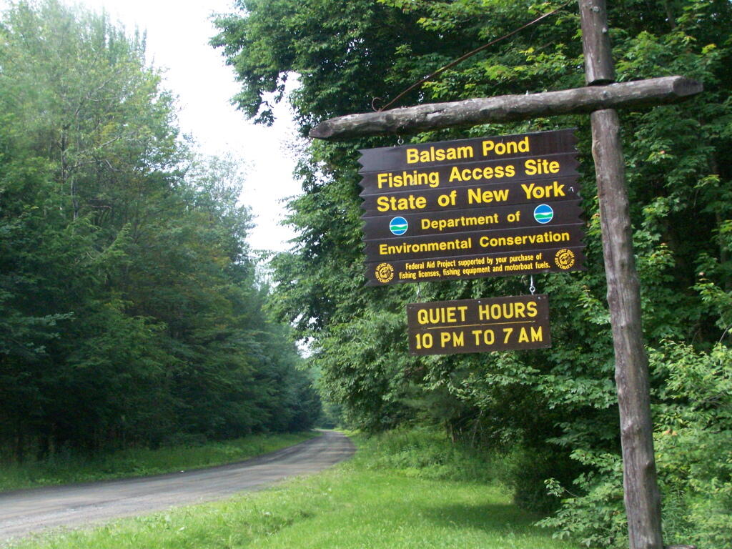
For the first weekend of summer, I decided to go out to Central NY for a weekend. The original plan was to spend one day at Brookfield Camping Area, but it was too crowded, so I decided to head south west to Balsam Pond in Chenango County, outside of Norwich and Pharslia.
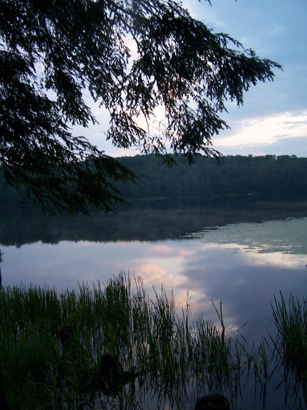
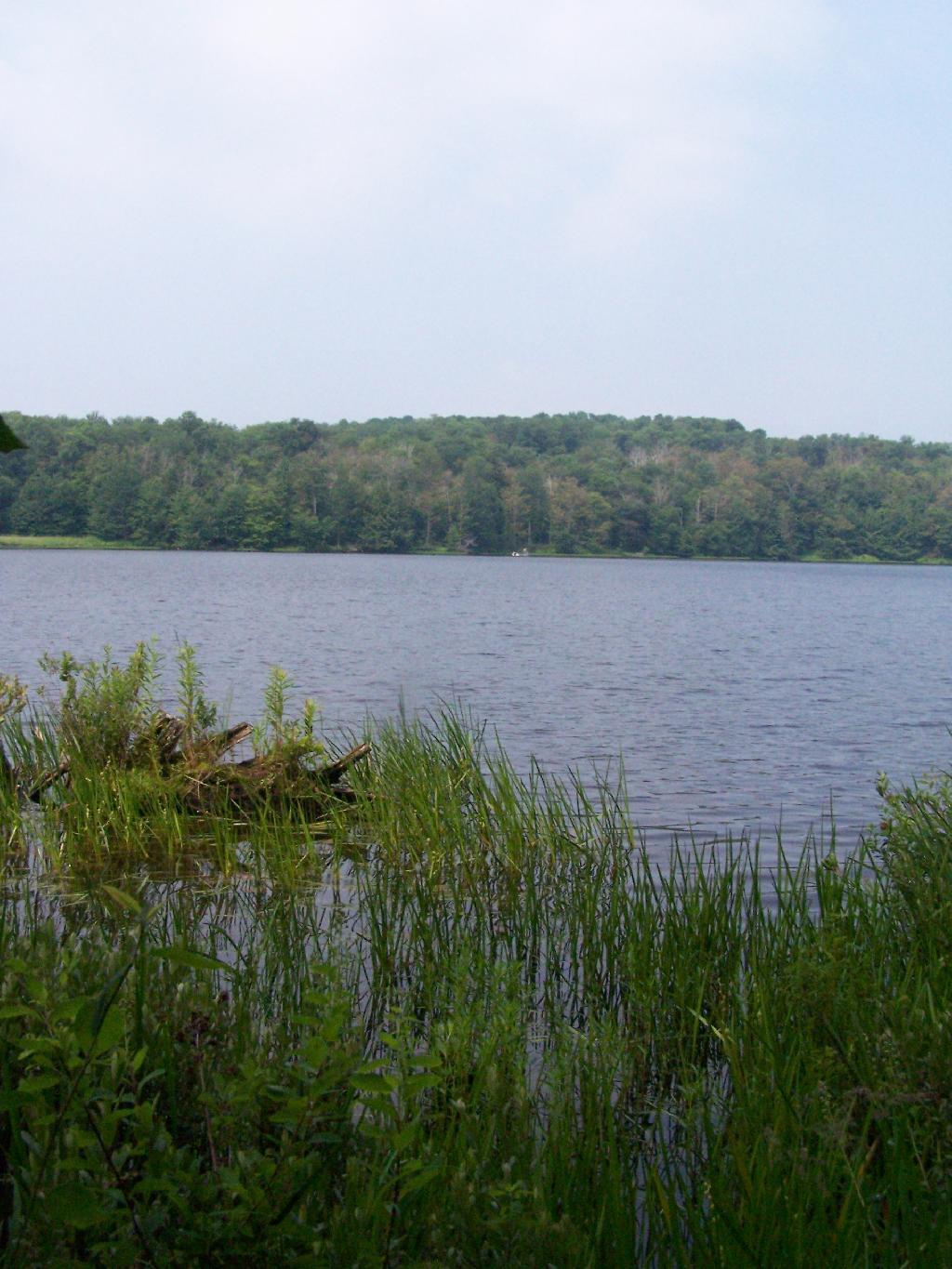
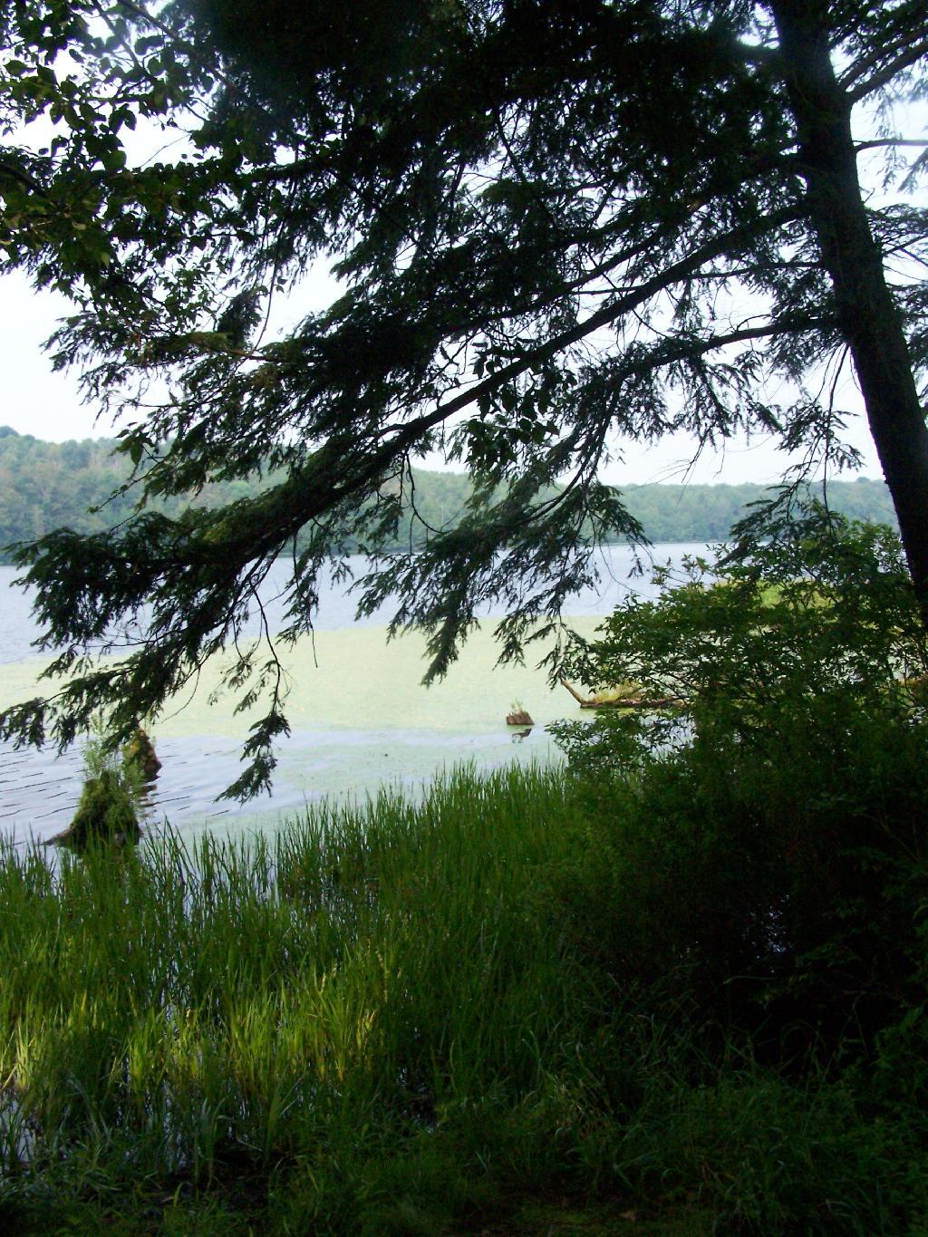
Balsam Pond is a man-made lake, popular for fishing and free camping. They also allow motor boats on the lake, so during the day, you’ll hear boats roaring up and down the lake.
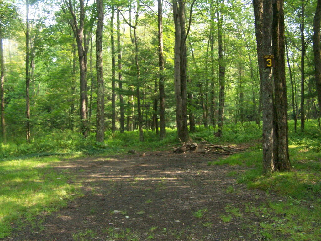
While the weekend was pretty rainy, Balsam Pond turned out to be quite nice, and popular but not full, as was the case last year. This time I choose to set up in Campsite 3.
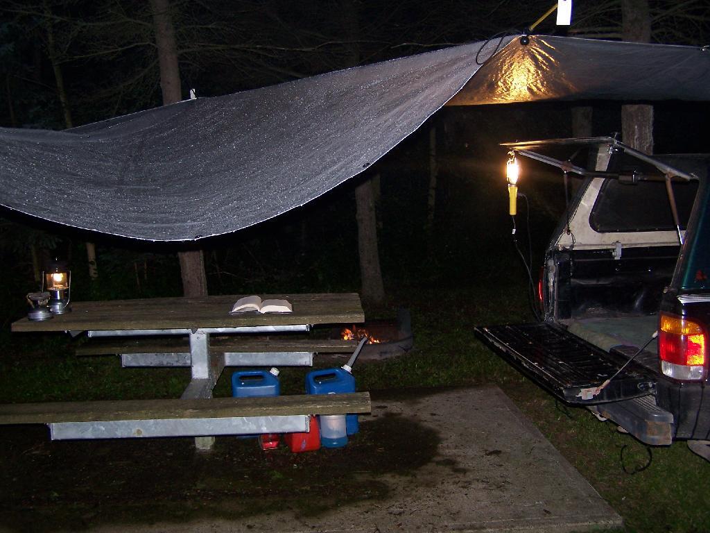
Soon after getting there, it was raining. I quickly got the tarp up, and was hanging out in the back of my pickup, reading a book.
In the evening, the rain stopped, although the clouds remained as I walked down by the lake.
In the morning I got up, and hopped in the lake for a quick dip to get cleaned off. Hazy and cloudy in the morning, but no rain.
I drove up north to Truxton in Cortland County, to check out the ever so beautiful Labarador Hollow, but decided with the rain, not camp up there. There where some roadside campsites there, but no lake to cool off up there, so I ended up spending another day at Balsam Pond.
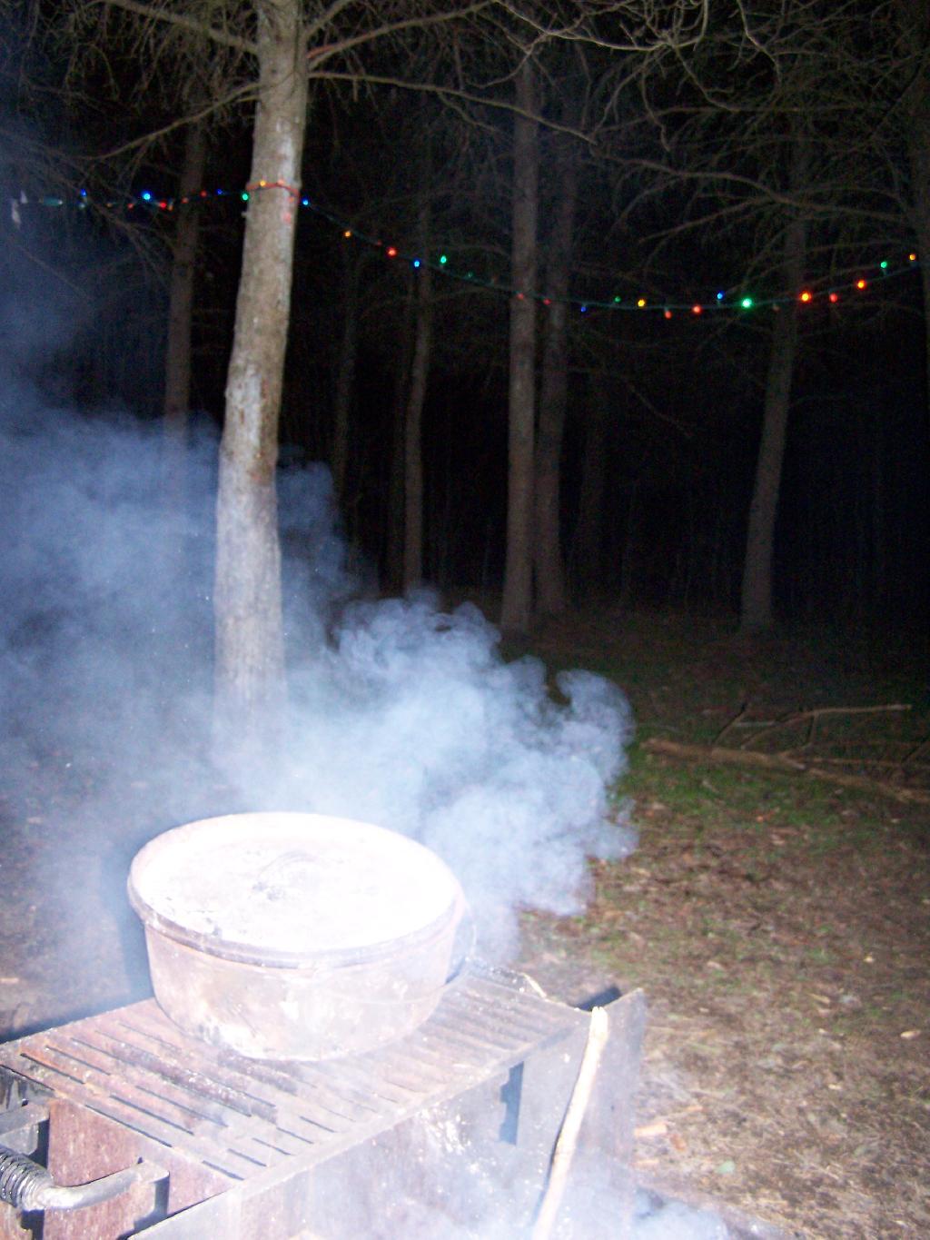
The next evening was nice, with not much rain, but very cloudy, damp and dark. But I got a nice fire going, and it didn’t involve burning too much plastic but mostly wood, under the Christmas lights.
Even by morning of the June 28th, the weather wasn’t perfect but so be it. This time of year, is not known for it’s perfect weather conditions after all.


![Old Canal Warehouse in Chittenango [Expires November 19 2023]](https://andyarthur.org//data/photo_005914_large.jpg)