The Adirondack Park is a publicly protected, elliptical area encompassing much of the northeastern lobe of Upstate New York. It is the largest park and the largest state-level protected area in the contiguous United States, and the largest National Historic Landmark. The park covers some 6.1 million acres (2.5×10⁶ ha), a land area roughly the size of Vermont and greater than the National Parks of Yellowstone, Yosemite, Grand Canyon, Glacier, and Great Smoky Mountains combined.
The Adirondack Park boundary, commonly referred to as the ‘Blue Line,’ contains the entire Adirondack Mountain range, as well as some surrounding areas, all within the state of New York. The park includes all of Hamilton and Essex counties, as well as considerable portions of Clinton, Franklin, Fulton, Herkimer, St. Lawrence, and Warren counties and small portions of Lewis, Oneida, Saratoga, and Washington counties as well. (The Clinton County towns of Altona and Dannemora, despite being entirely within the park boundary, are specifically excluded from the park by statute, due to the large prison facilities in both towns.)
Not all of the land within the park is owned by the state, although new sections are frequently purchased or donated. State land comprises 2.7 million acres (1.1×10⁶ ha), about 45% of the park’s area, including the highest peaks in New York State, as well as Mount Marcy, the highest elevation in the state. About 1 million acres (400,000 ha) of this is classified as wilderness, with most of the remainder managed under the somewhat less stringent wild forest classification. Villages and hamlets comprise less than 1% of the area of the park; the remaining area of more than 3 million acres (1.2×10⁶ ha) is privately held but is generally sparsely developed.[3] There is often no clear demarcation between state, private, and wilderness lands in the park. Signs marking the Adirondack Park boundary can be found on most of the major roads in the region, but there are no entrance gates and no admission fee.
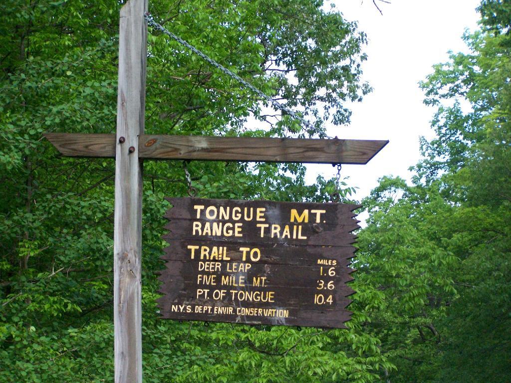
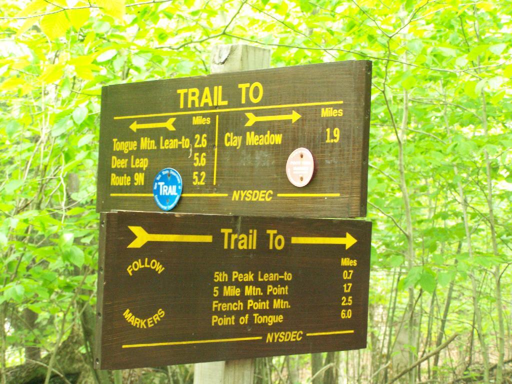
I got up at 5 AM on Saturday and headed off to the Tongue Mountain Range. I arrived there around 8 AM, because I made several stops on the way up, and didn’t really get in my truck until 6:30 after getting ready and having breakfast.
I wanted to hike up Fifth Peak and French Mountain, famous for their views of Lake George, but I ended up hiking up Five Mile Mountain, as I parked at the wrong area based on my faulty memory of where the trail head was, based on a brief drive by some three years ago back in college.
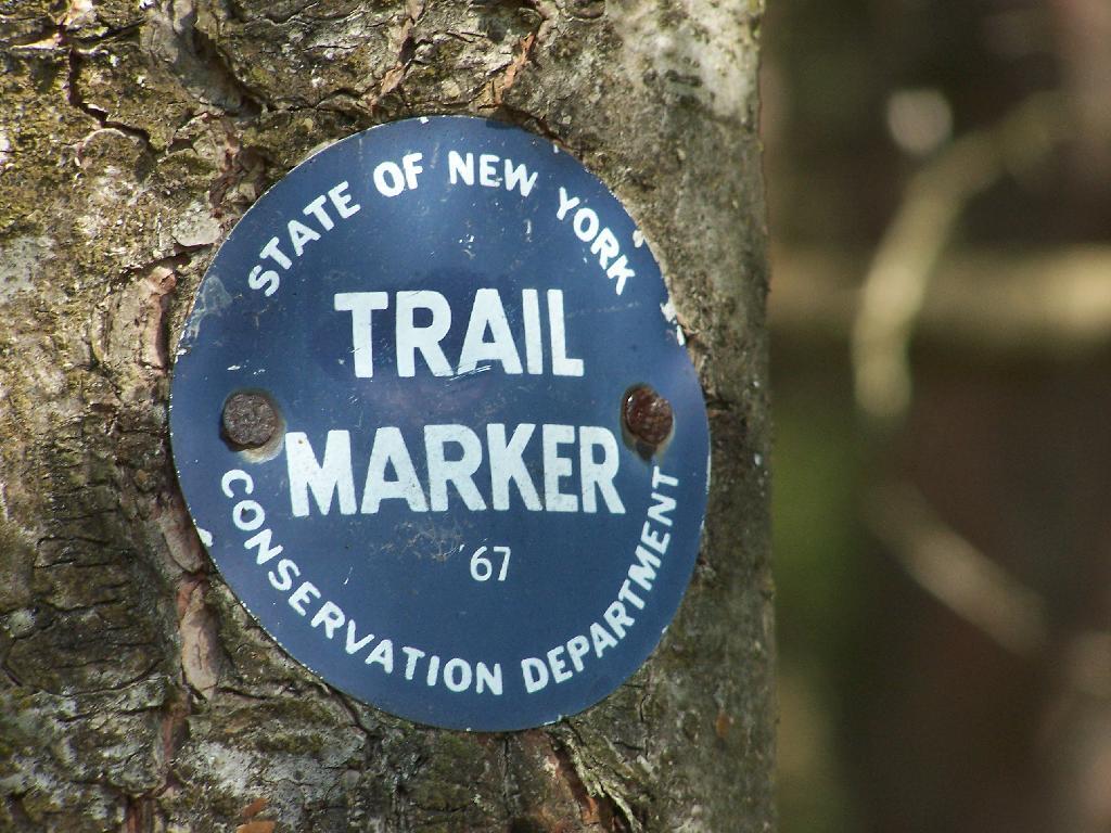
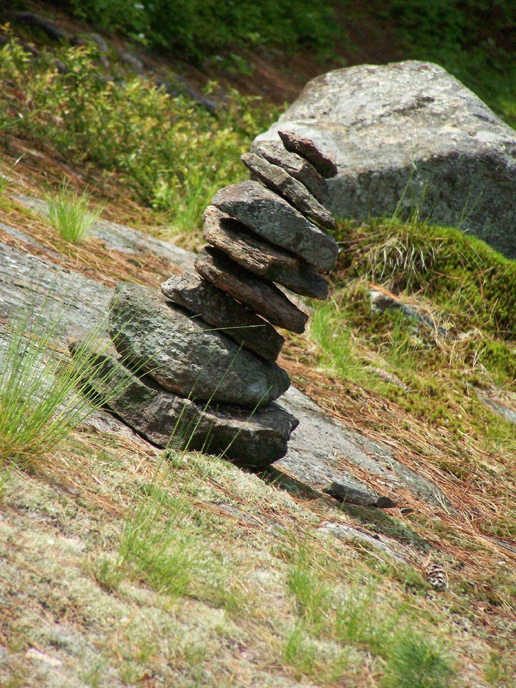
The markers on the trail where old, but it was well marked with these 1967-era trail markers and carins.
Lake George can be seen off one view from Brown Mountain. It was raining as I hiked up there.
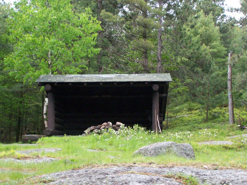
I was fortunate enough to make it up to the Five Mile Leanto before the sky just opened up and started to pour.
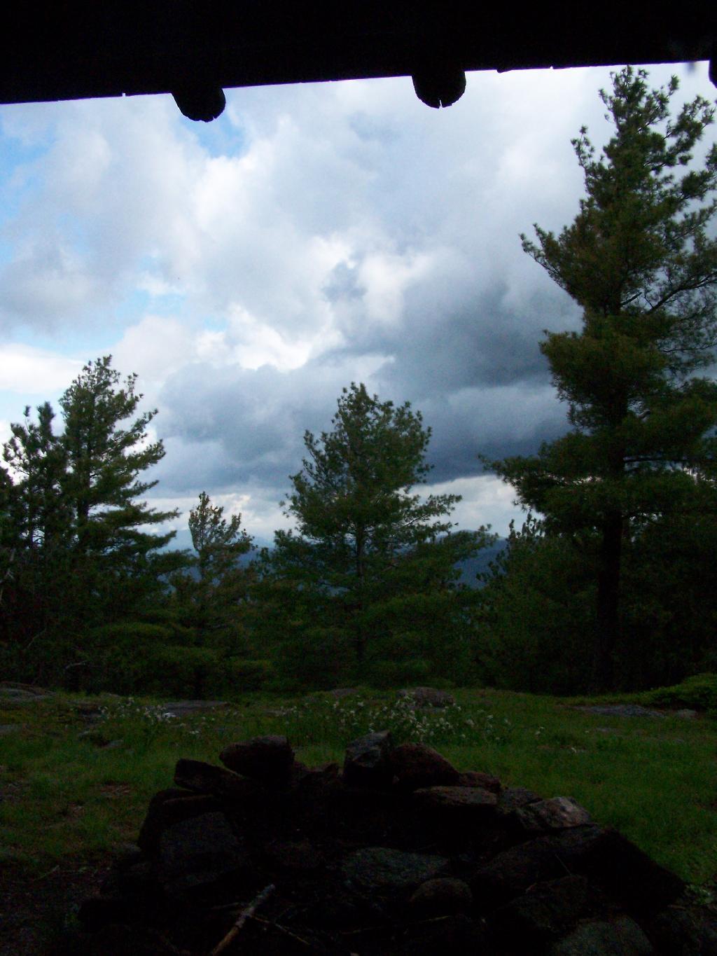
Sitting in the lean to watching as the rain rapidly approached me. This lean-to was not well thought out as it faces due west. But it must have good views of the sunset. Maybe some night I should stay up here.
Fortunately the rain passed relatively quickly.
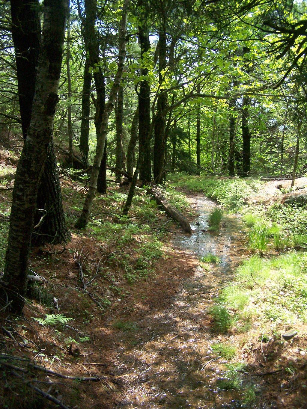
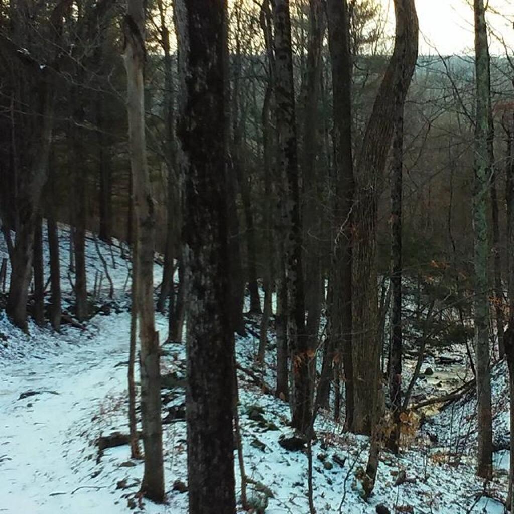
But it left the trail fairly swampy in parts.
The trail from Five Mile Mountain has some limited views to the east over Lake George. It was still cloudy when reached this point around 10 AM but was starting to clear out.
You descend down Five Mile Mountain come to the intersection of the trail to Fifth Peak and French Mountain.
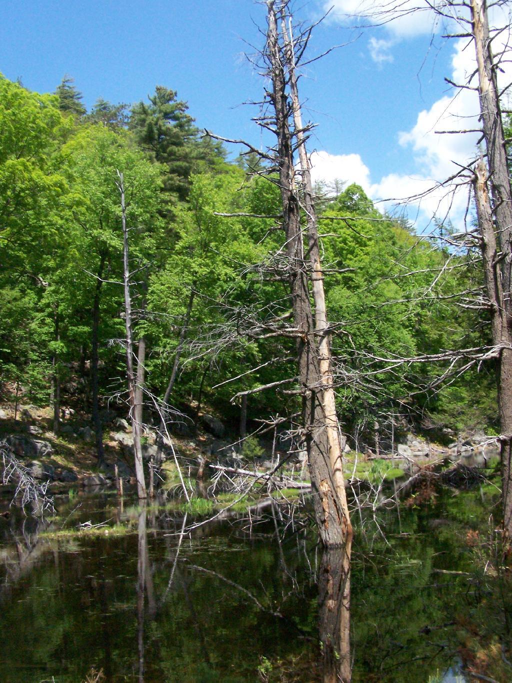
After you get on the trail to descend down to Five Mile Point, you go past a long and skinny portion of creek dammed up by beavers.
Descended down to Five Mile Point and had lunch along Lake George. It’s a relatively steep and long descend down to Five Mile Point, and it continues to be steep until you get down to the shore. Not a perfect place for a picnic, but still pretty.
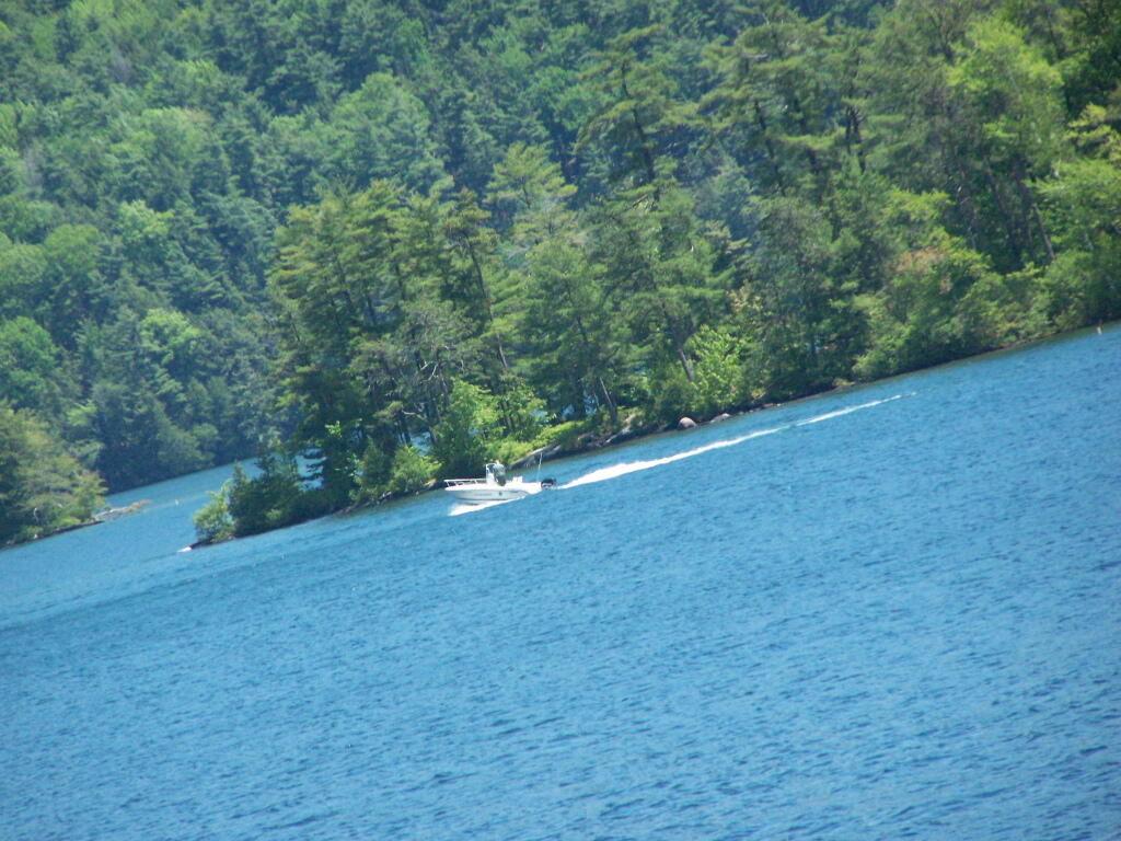
Here’s a boater passing by an island on the other side of Lake George.
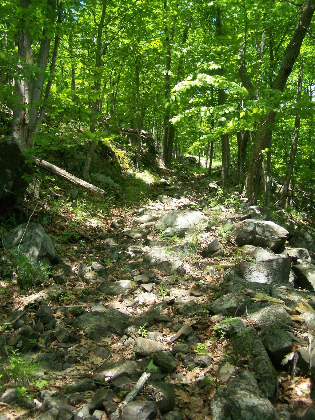
The trail back up from Five Mile Point was an old-wagon road, probably abandoned for 100 years now. It’s a steep climb back up it.
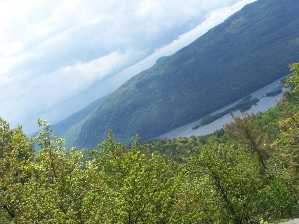
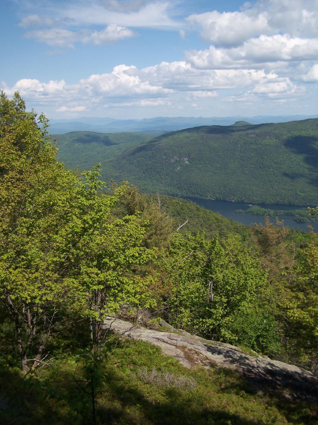
The views back atop of Five Mile Mountain where amazing, once it cleared out with just a few clouds remaining.
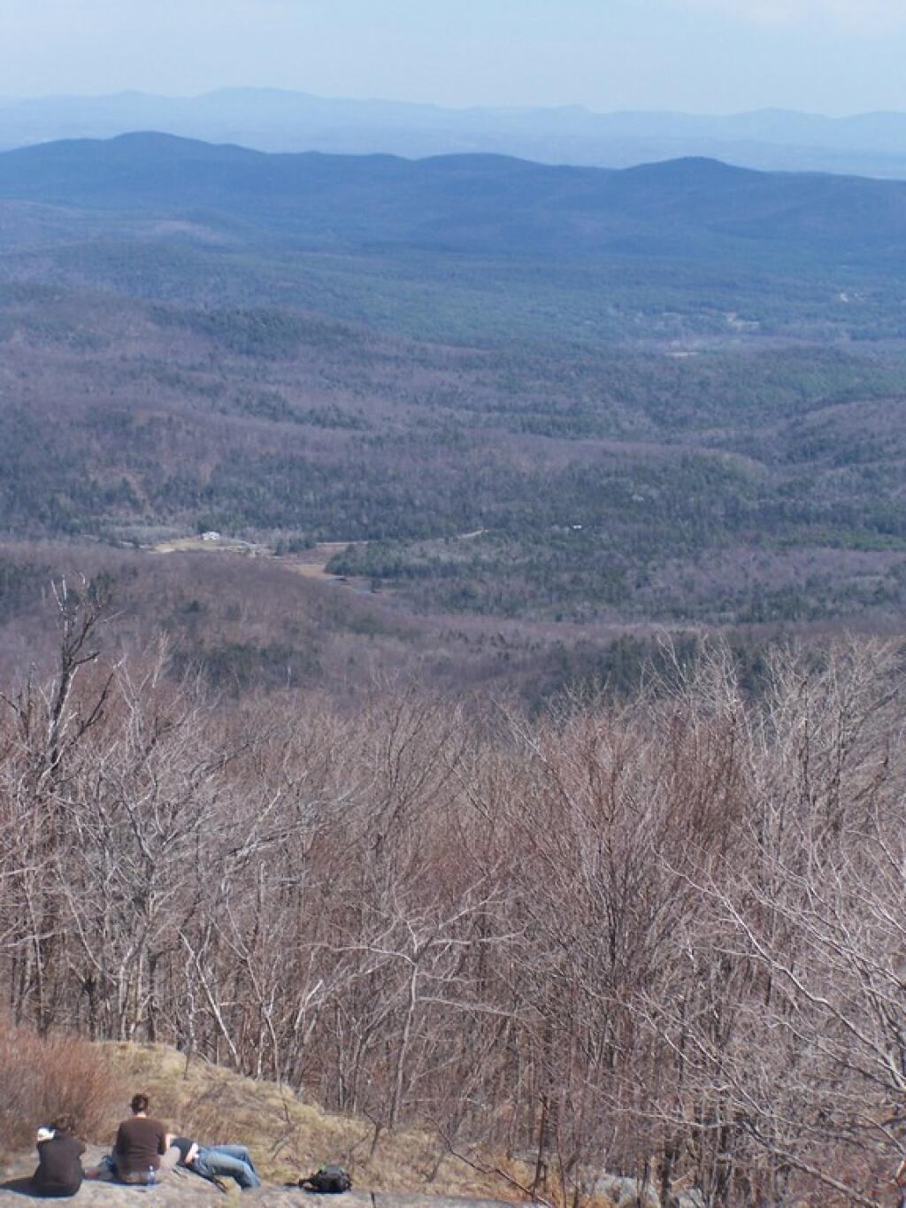
It cleared out by the time I was back up on Five Mile Mountain. There is Lake George, Bear Mountain on the other side, and the Green Mountains and Vermont in the distance.
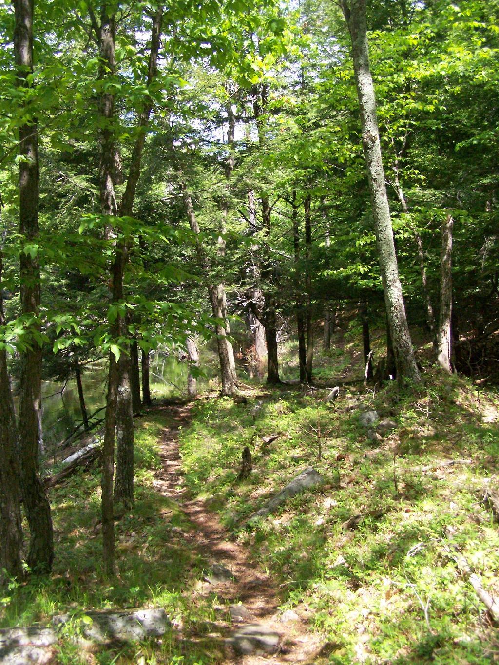
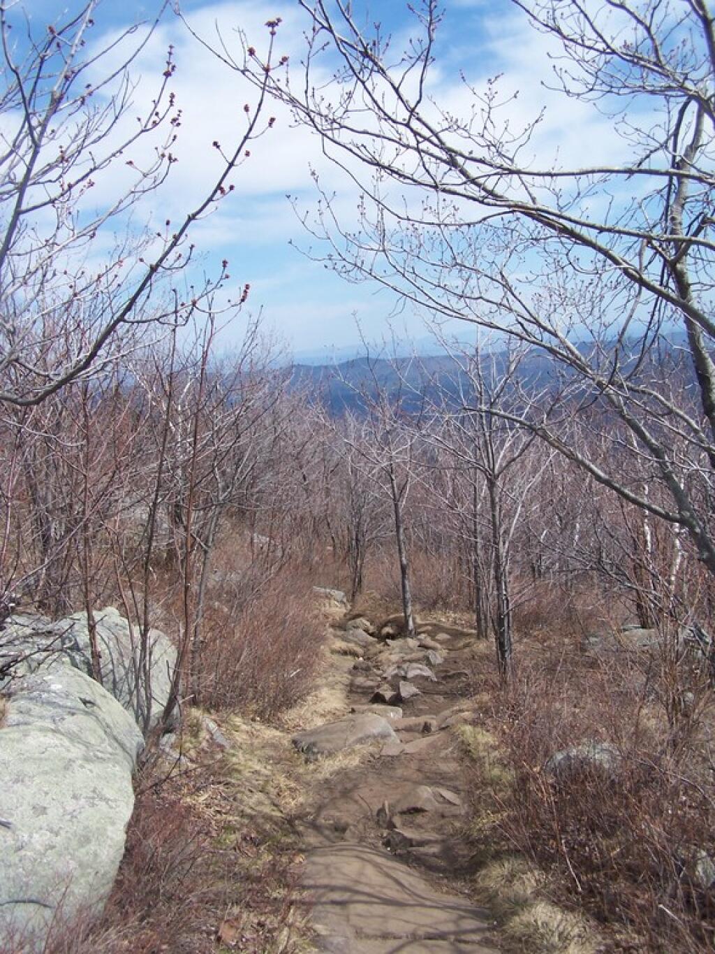
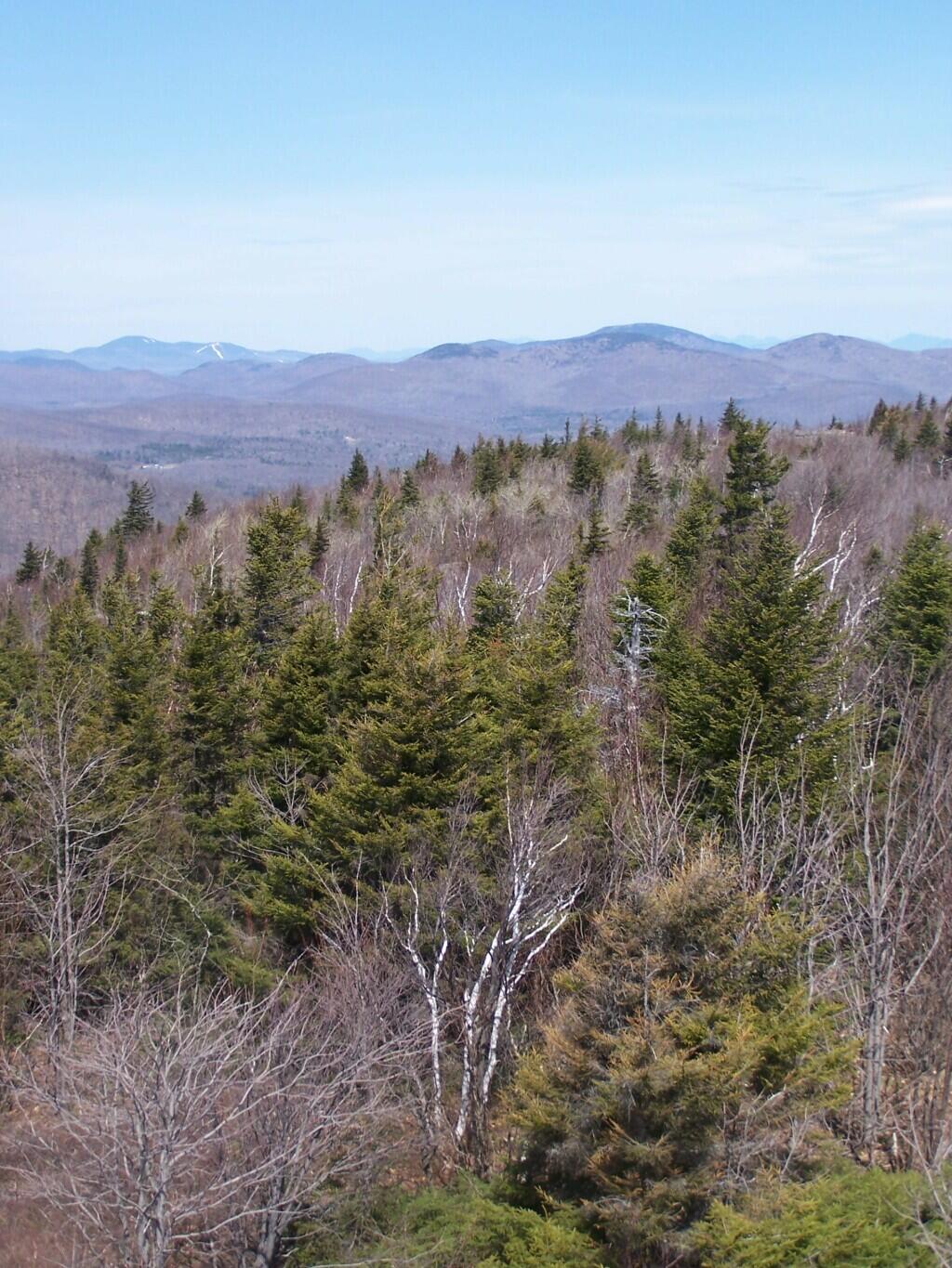
Hiking along the trail…
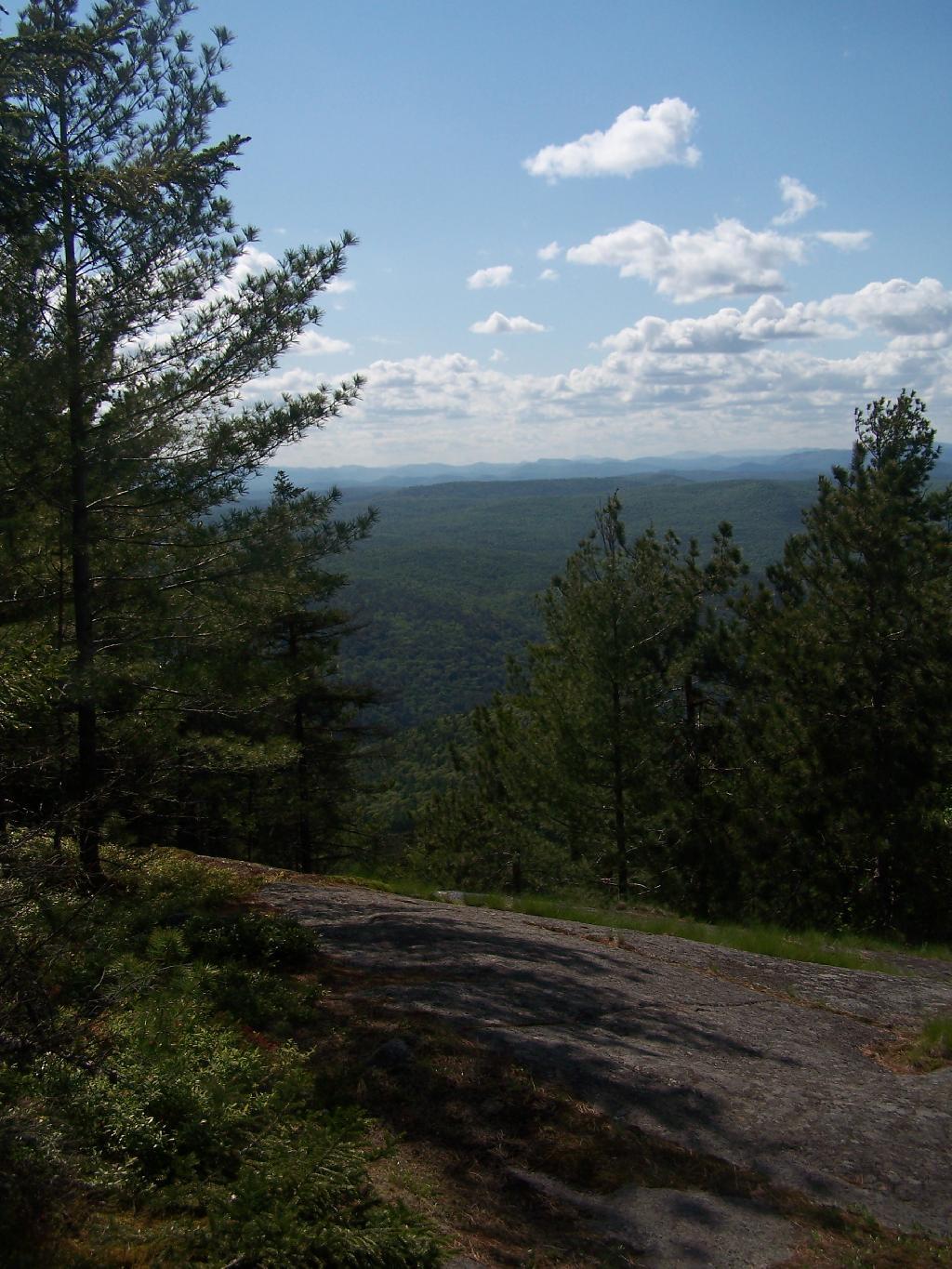
The view from the lean-to when the weather is a bit nicer.
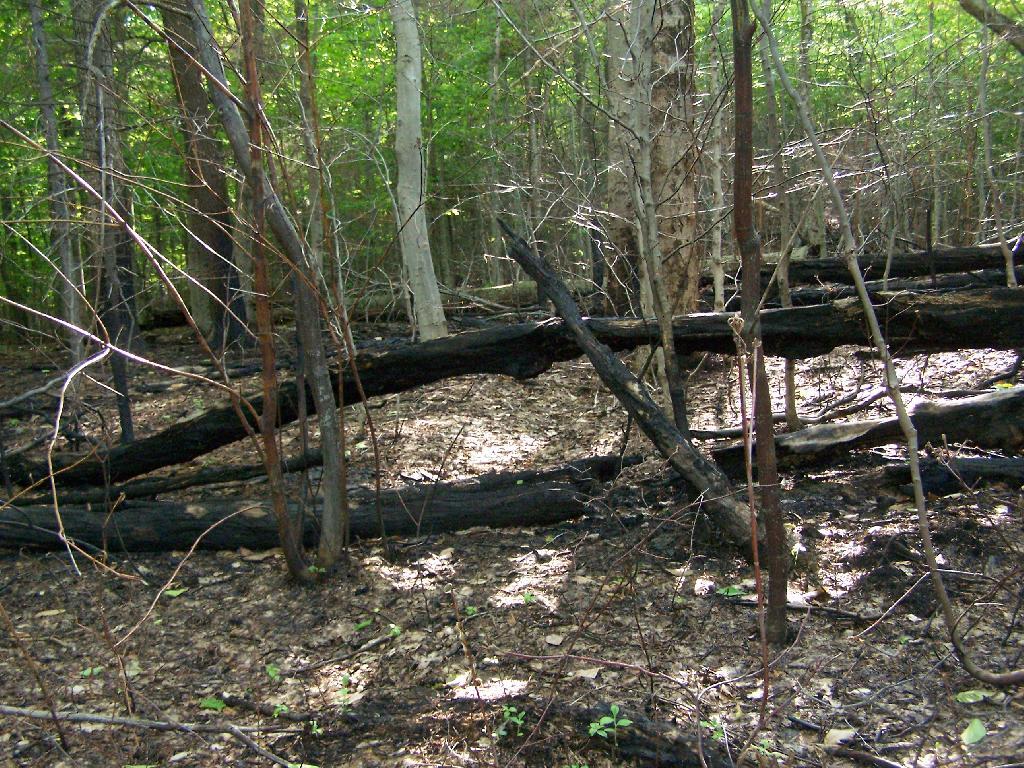
Near where the trail splits off to go over to Deer Point (which I did not visit), there was a serious forest fire in 1985. It was one hell of a fire, as witnessed from the damage from almost 25 years ago.
I arrived back at my truck around 5:30 PM, a bit tired and sore. But the views where great!
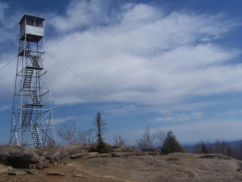
This is my first hike of the year in the Adirondacks. I normally don’t go to the Adirondacks due to the length of the drive from Albany, however I wanted a break from the Catskills. Hadley Mountain has a fire tower on it, and it was a beautiful day out for the hike.
I arrived at the trail head at around 9:30 after a two hour drive from Albany, via. the Bachelorville Bridge and several Saratoga County Roads. It would have been faster to take Route 9N and the Northway, however I wanted to see some of the nearby country.
It was a relatively short hike up the mountain, with a distance of a mile and a half, and an elevation increase of 1,500 feet. Most of the trail was eroded sloping rock face. Admittedly, it was a lot more difficult on the ankles coming down then going up.
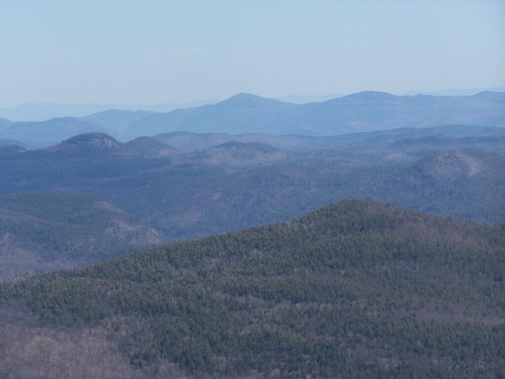
Once you arrive up top there is the Fire Tower, some open face worn down to rocks, from use, and a ranger’s cabin. The views are spectacularsome of the best from any Fire Tower around. It would be awesome to visit in the summer when everything is all green and purty.
Spent about an two hour up there, snapping photos and watching the light change. I got a pretty bad sun burn, but it was so nice and sunny out there. It was fun. I returned back to the truck around 3:30 PM.