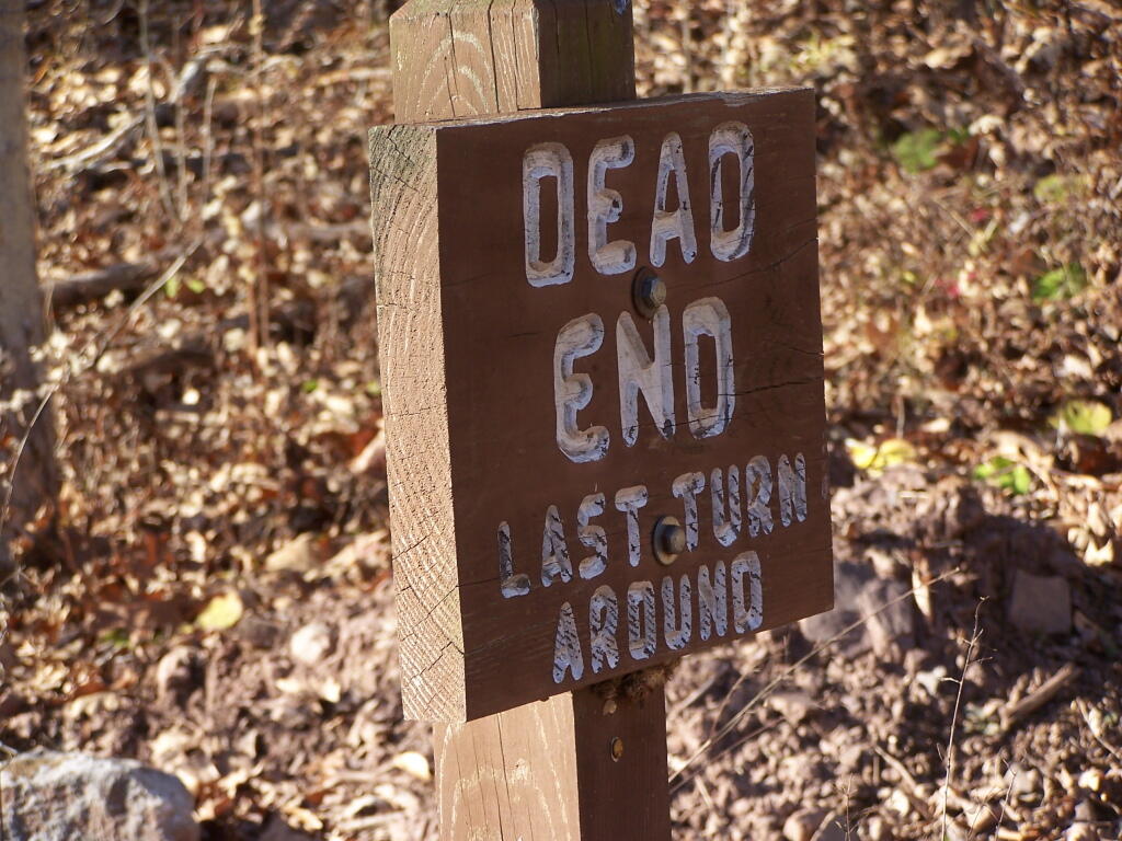
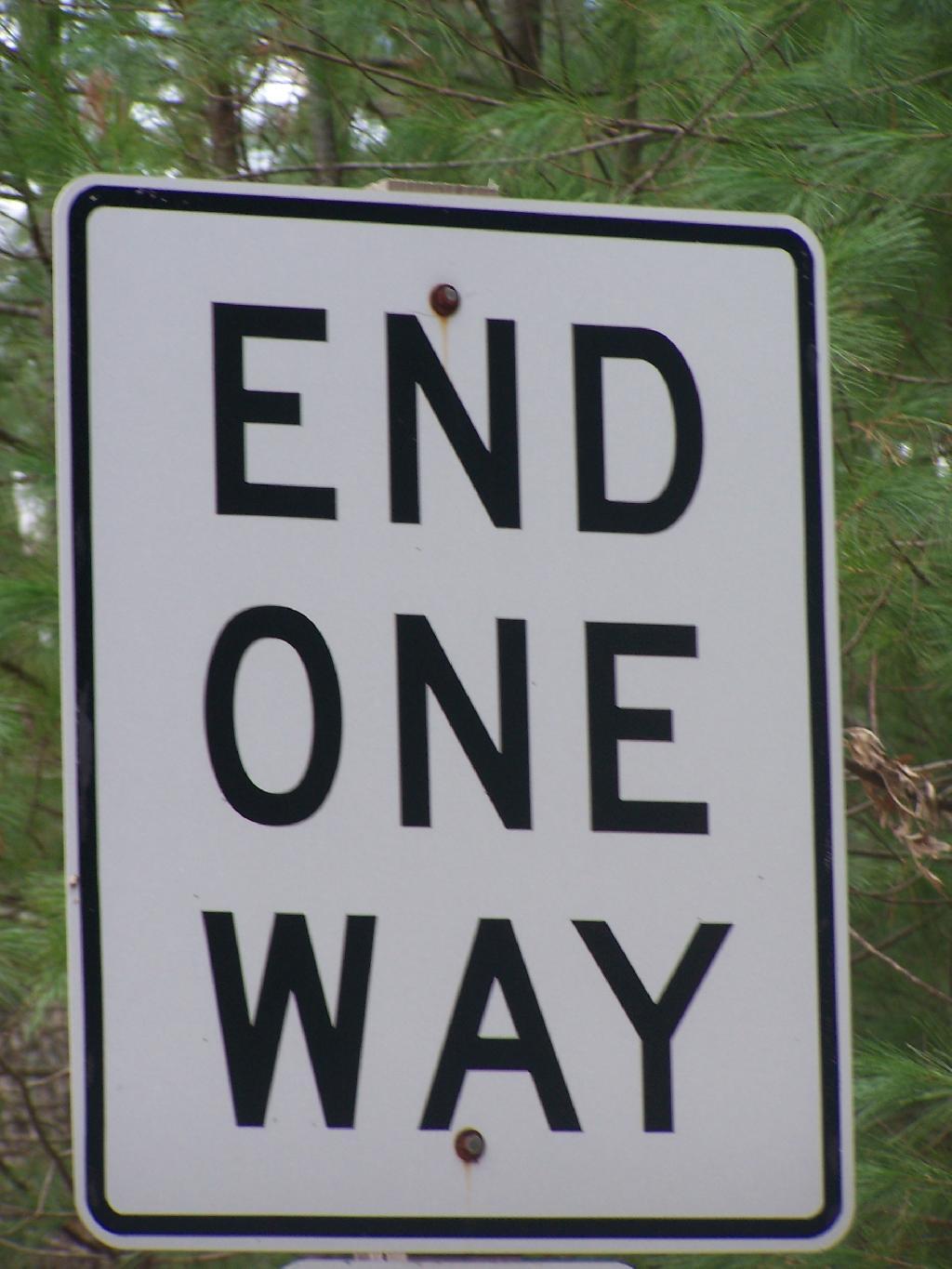
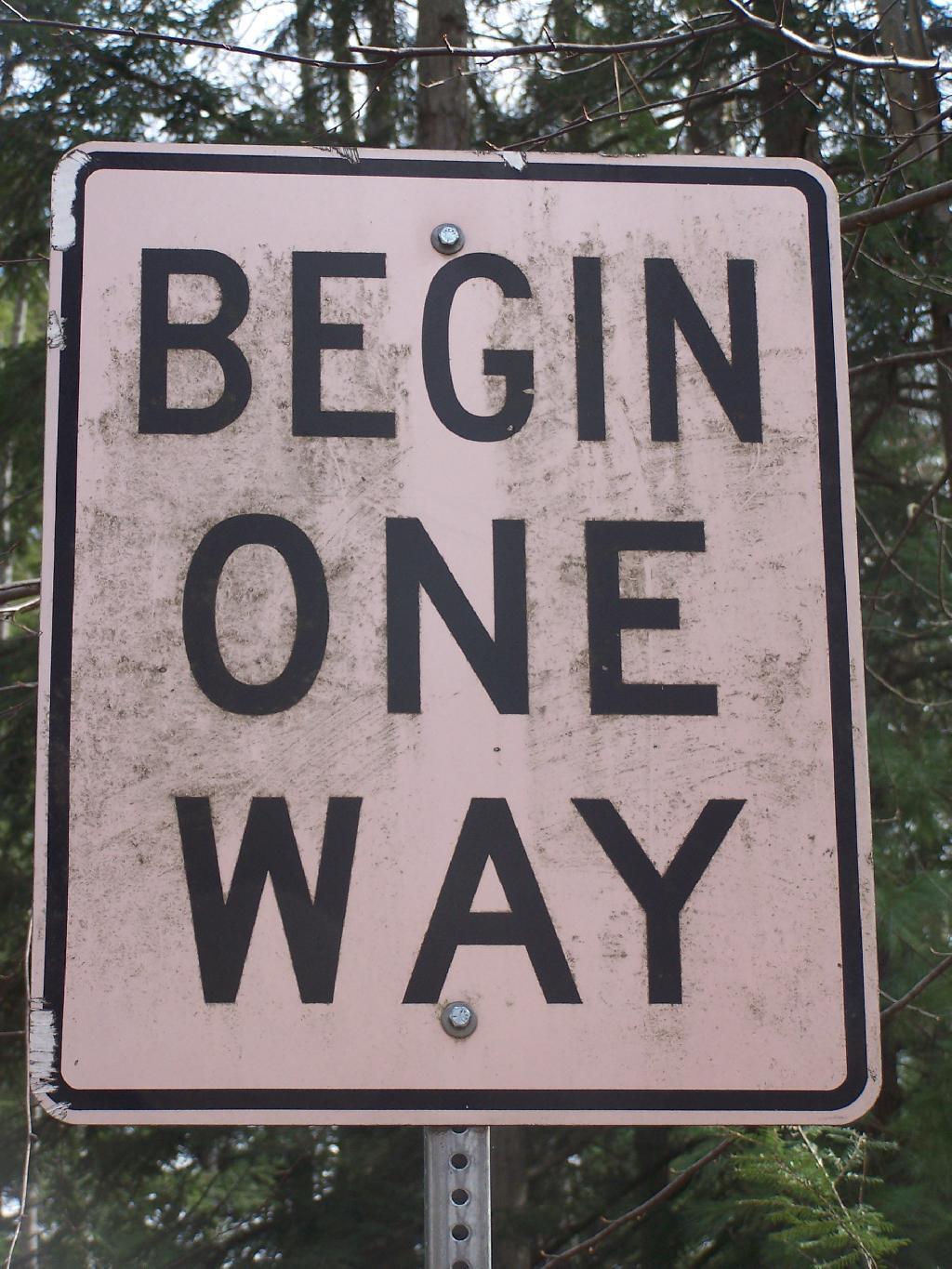
Some struck me about these two signs along a short section of a one-way road at Colton Point State Park. They seemed to mean so much more then just their simple meaning for traffic, but something about life we all live.
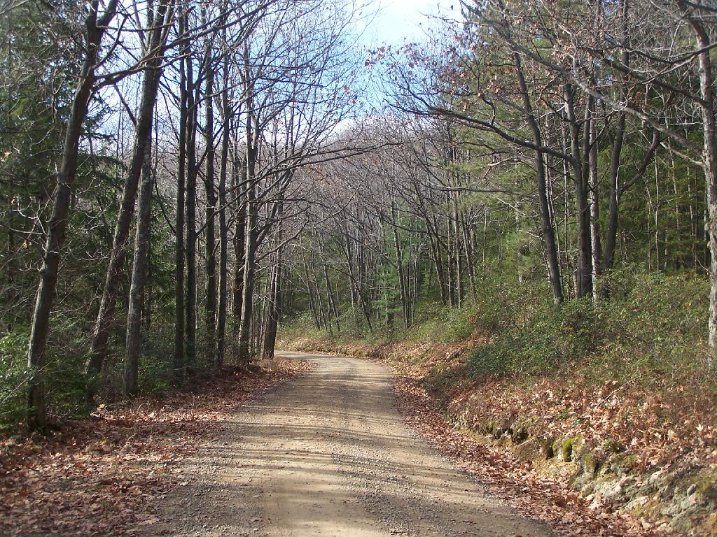
We all begin one way, set off to find our way through the wilderness of life, with little more then a rough sketch where want to end up.
We wander through the wilderness, seeking that destination that we know want to reach, but even when the road is straight and narrow, it’s not always apparent on where will eventually end up.
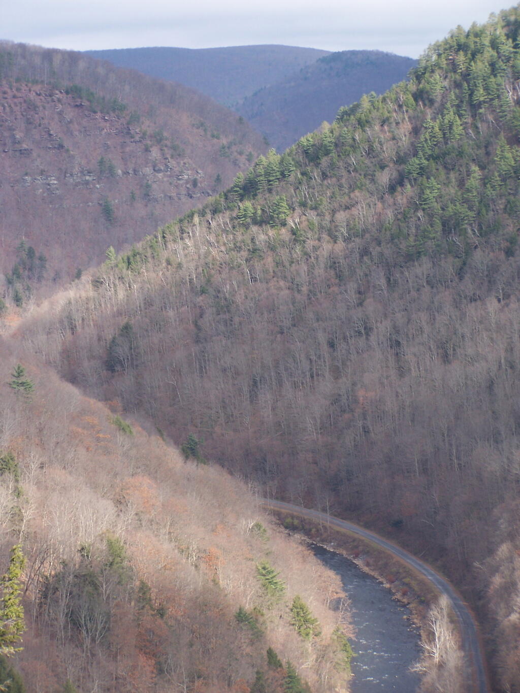
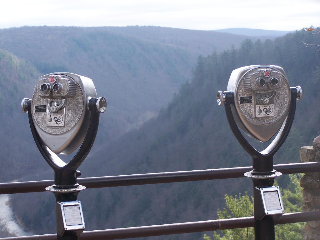
We sometimes stop to check our way. We get out our binoculars and try to look to see if our destination is in site. It’s not always clear.
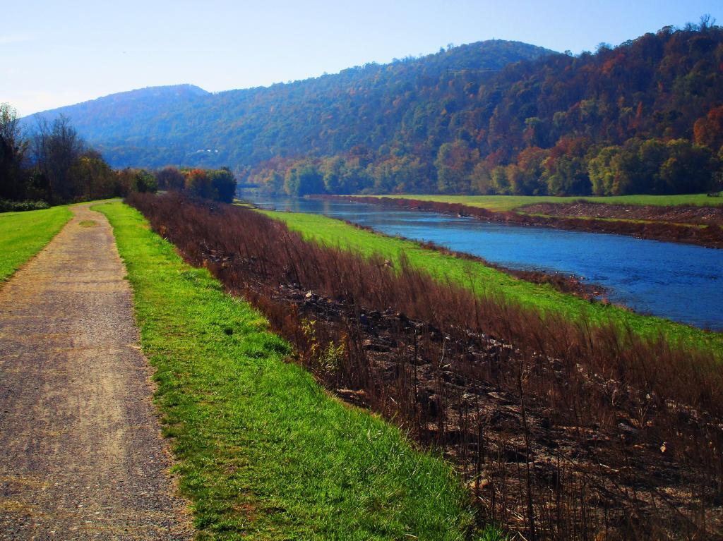
We glance off into wilderness the vista.
As we kick some dirt up along the road.
Trying to avoid the dead ends that seem to come upon as every few minutes.
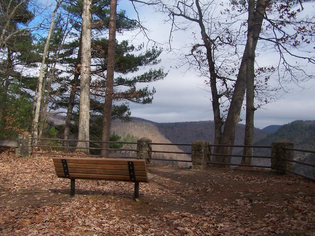
We stop for a minute on a park bench.
And peer down into the canyon as a changed indivdual.
And eventually we end one way. Was it the same way we started? No! I really doubt that. We have changed. We may have ended one way, but we ended a different way then we started.
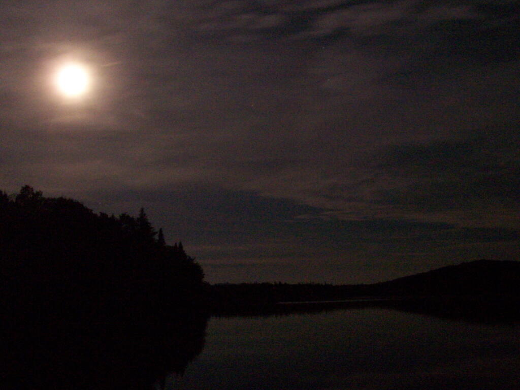
One thing that everybody should experience at least once in their lifetime, is to walk across Wakley Dam at a Full Moon. Wakley Dam, located at the Cedar River Flow, crosses the river and provides access to 5 of the primative campsites at Cedar River Flow portion of Moose River Plains.
When you across the moonlit lake, across the lake towards Little Moose Mountain in the distance, and towards Sturges Hills, you’ll take in a deep breath, as you try to comphrend what moonlit beauty you are looking at. You’ll look up towards the sky, with millions of stars, uncompromised by distance city lights. There are no cities nearby, indeed, the nearest town is the Hamlet of Indian Lake, 12 miles away on a rough dirt road.
… Cedar River Flow is amazing in the day time.
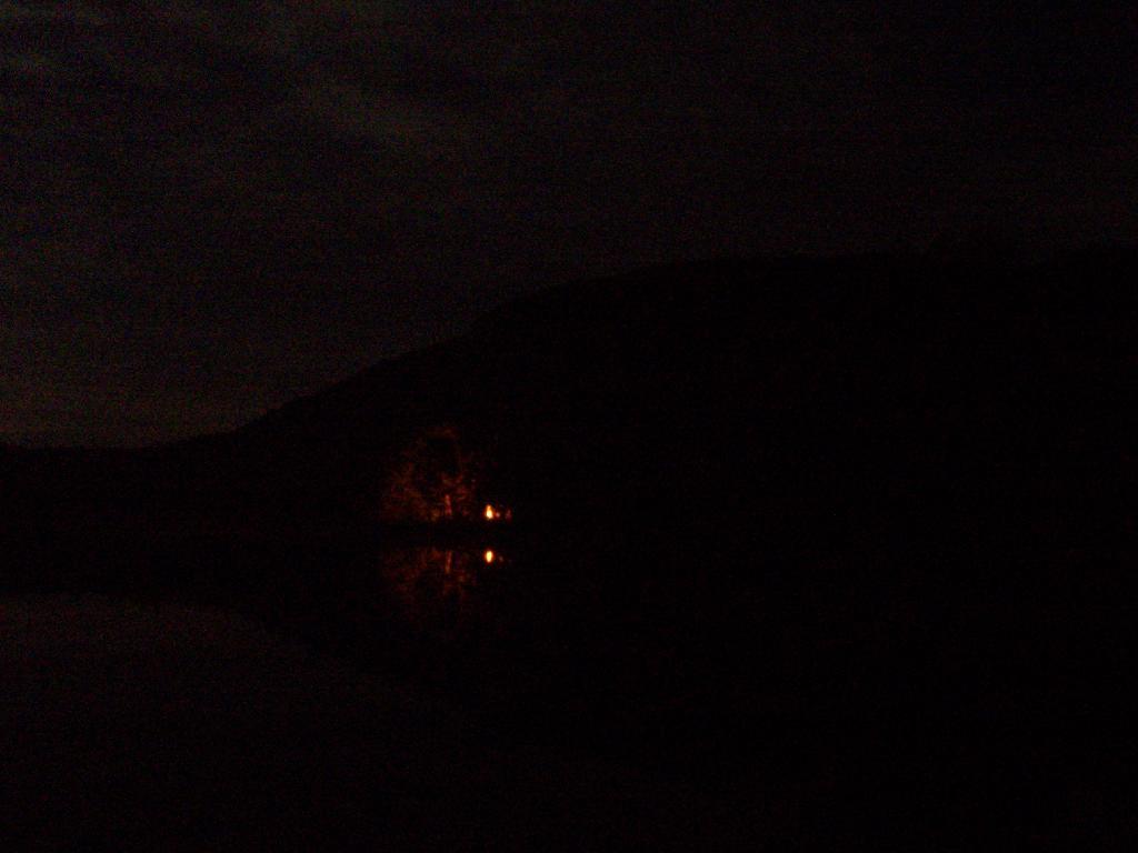
It’s even more amazing at night …
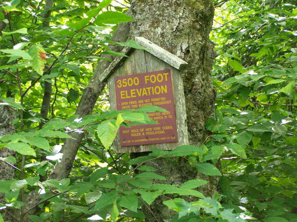
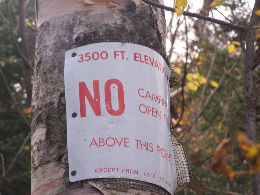
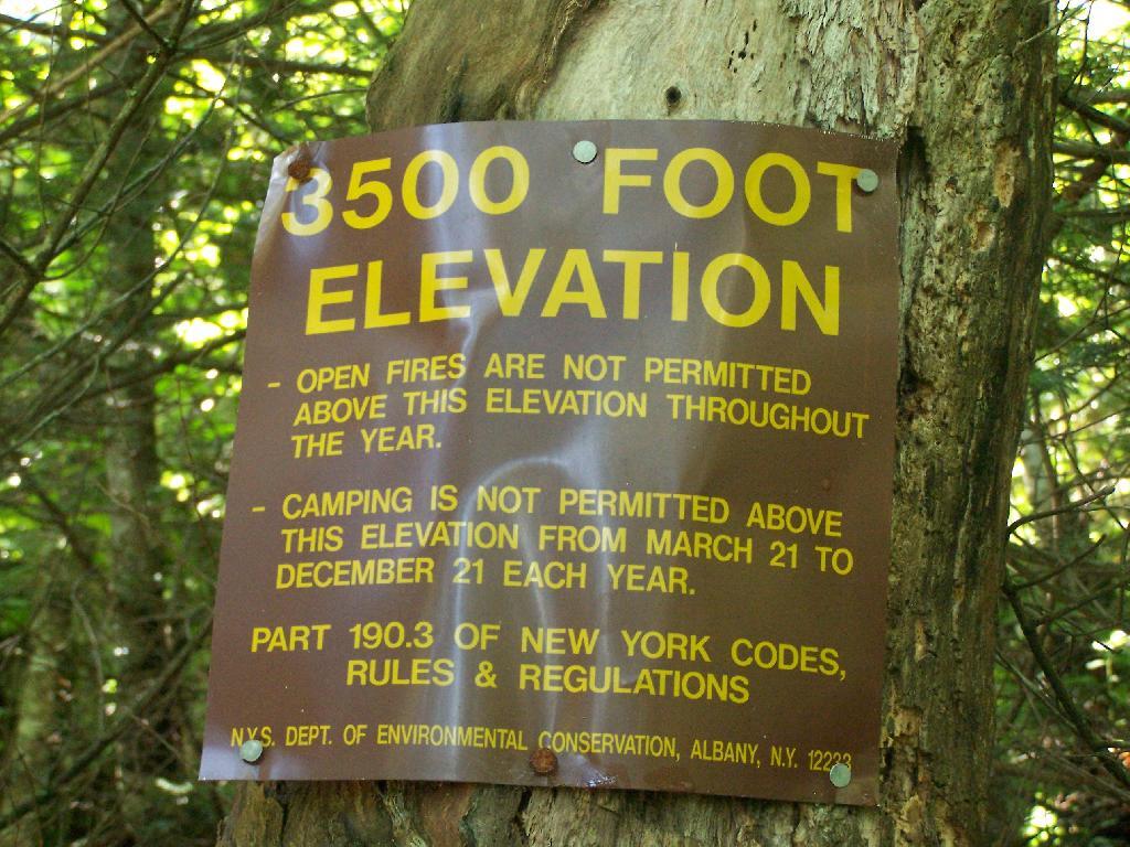
When you climb above 3,500 feet elevation in the Catskill High Peaks, a special set of regulations is in effect that prohibits camping except in the winter, and bans open fires throughout the year. This is because the eco-systems above this elevation on the 35-high peak mountains are viewed by the Environmental Conservation Department as ecologically sensitive.
I didn’t take the 3,500 feet signs on every mountain I climbed, most notably skipping over the sign on Hunter Mountain, Windham High Peak, and Black Dome.
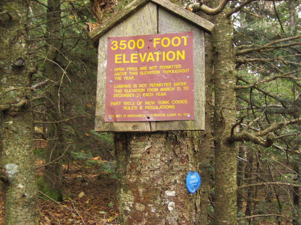
Balsam Mountain.
Hiking up to the Balsam Fire Tower, about a 1/4 mile or maybe 200 feet below the tower.
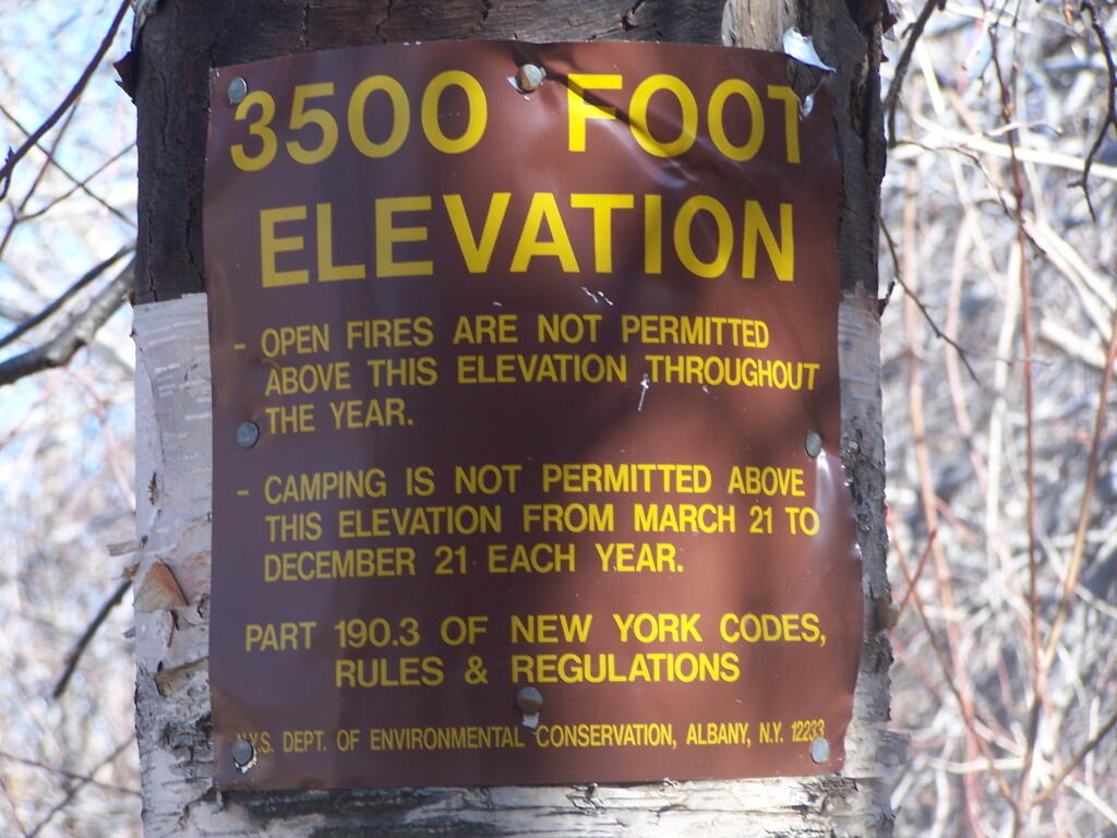
Indian Head Mountain.
Climbing up the east face of the Indian Head Mountain, this sign is maybe 3/4 of the the westerly face of the mountain.
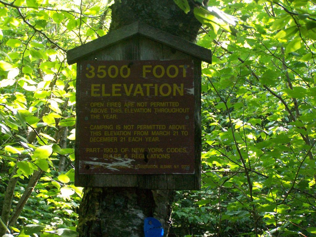
Panther Mountain.
You see Panther Mountain‘s 3500 feet sign about a 1/4 mile and 200 feet more of climbing before you reach the final ascent.
Plateau Mountain.
The sign on Plateau Mountain is about a half mile from the top, although the last portion is relatively flat.
Slide Mountain.
Slide Mountain, the tallest mountain in the Catskills at over 4,200 feet. The sign is probably a mile away from the final ascent.
Twin Mountain.
The sign is the second of two signs on the way up to the top of Twin Mountain on Devil’s Path.
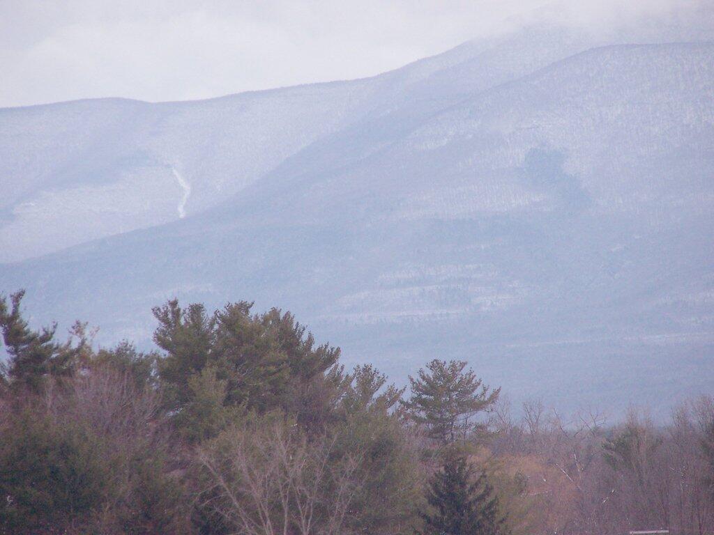
There are relatively few people who can say that they grew up in the shadow of the mountains. The mountains loomed large over the town I grew up, showing their large footprint as the rose out of the land just south of the town where I went to Elementary and High School.
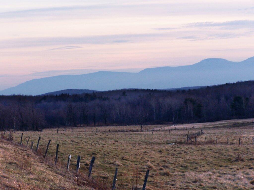
While I lived most of my first 25-years of my life on my parents eight-acres, playing in the woods and in the creek, I went to school in Greenville, which is about 15 miles from the northern-most range of the Catskills. Those mountains loom large over the town as one proceeds south on the two-lane NY Route 32. At times, they look as though they must almost reach up to the sky, as high exists in the world.
They are an impressive feature. A routine feature to anybody who lives out by Greenville and sees them everyday, but still one that leaves a lasting impression on oneself. When I was younger I might have hiked the mountains a few times, but I never spent an extended period up there. I certainly could not have identified every peak from memory or been able to look up and know what it look likes on down. Today I can.
When I was younger I probably should have asked more questions and respected those mountains more. I should have paid more attention, and spent more time hiking them. Yet I didn’t. Regardless, those mountains, constantly hanging over the Greenville skyline had a persist ant impact on my life.
![Untitled [Expires November 23 2024]](https://andyarthur.org//data/photo_005996_large.jpg)