
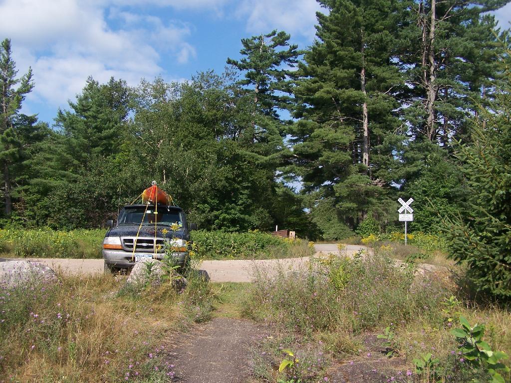
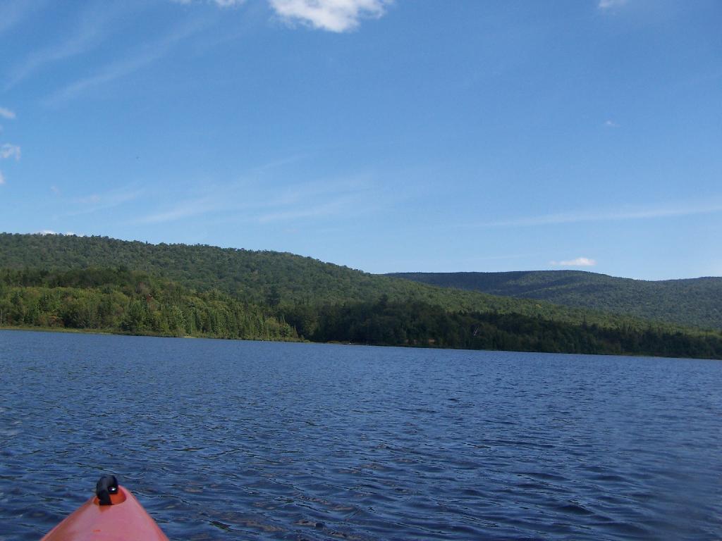
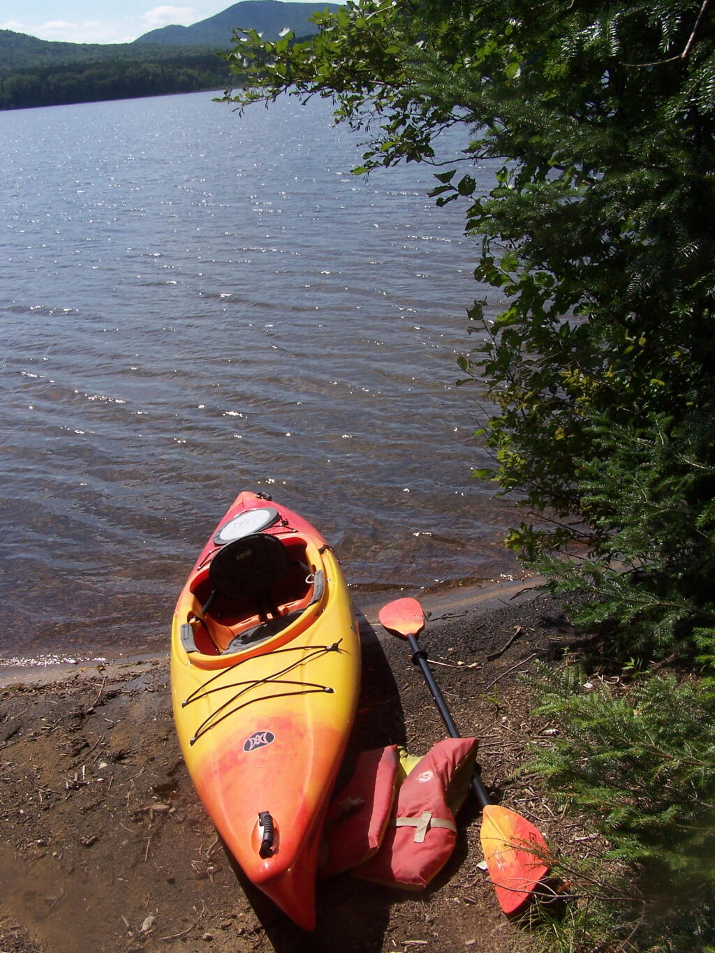
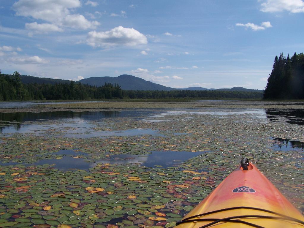
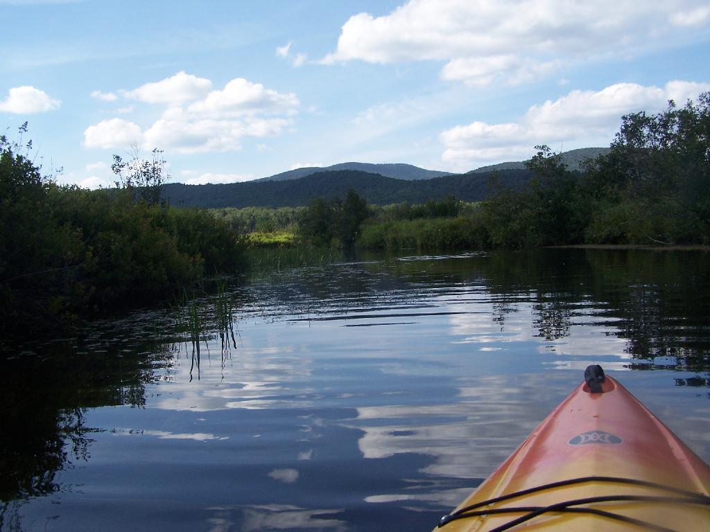
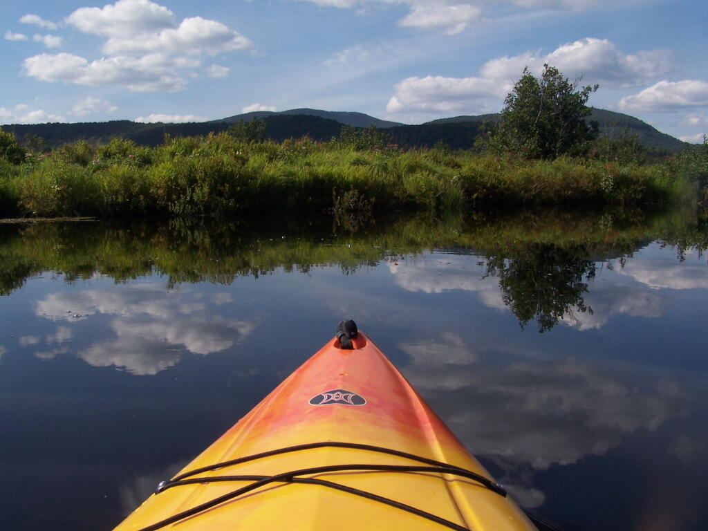
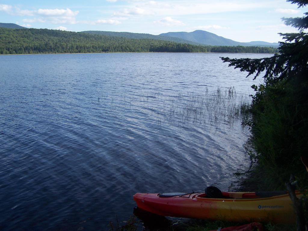
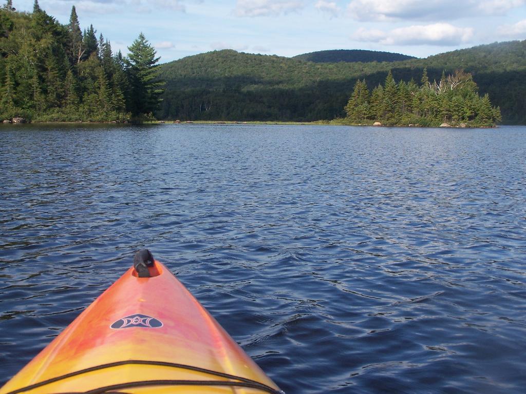
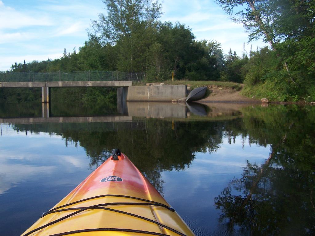
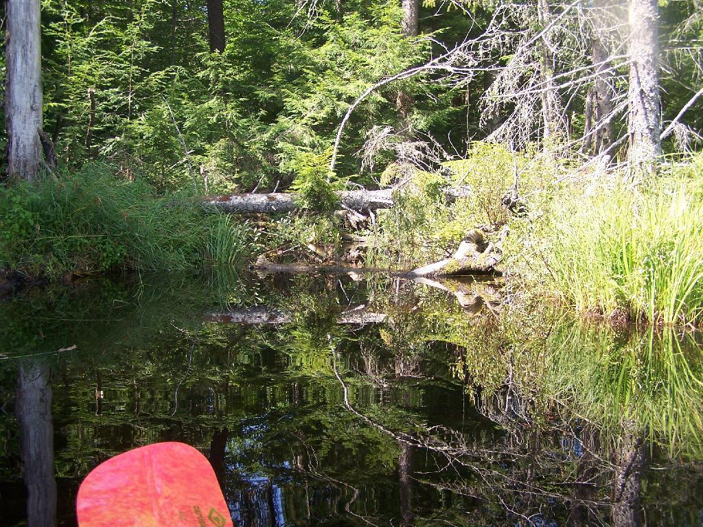
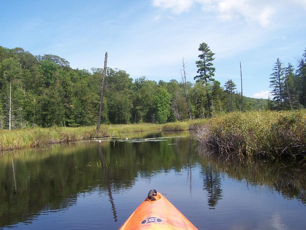
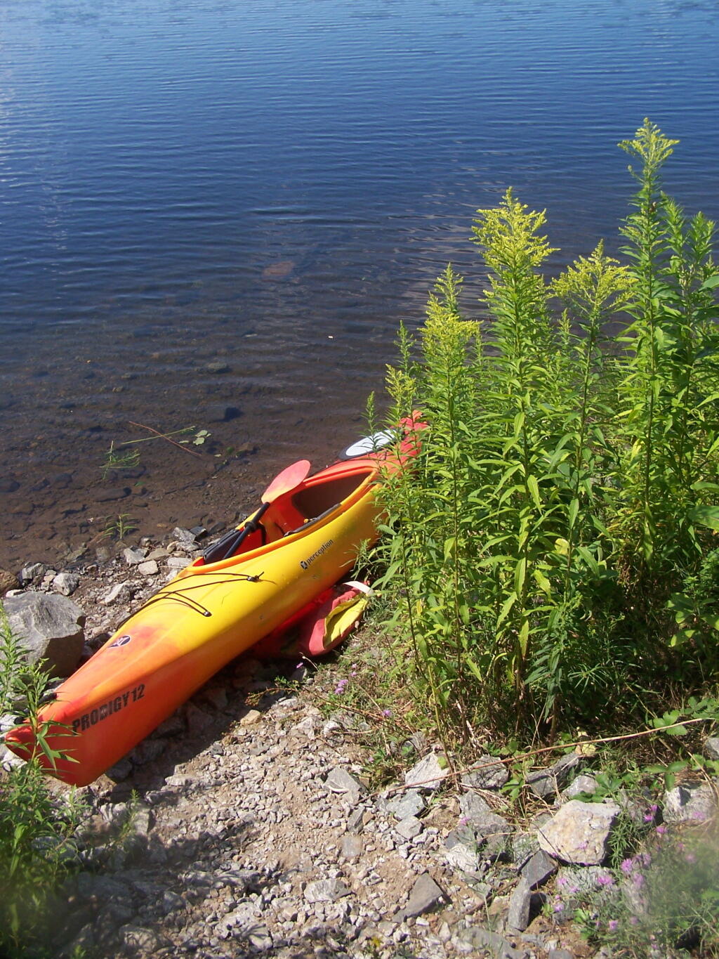
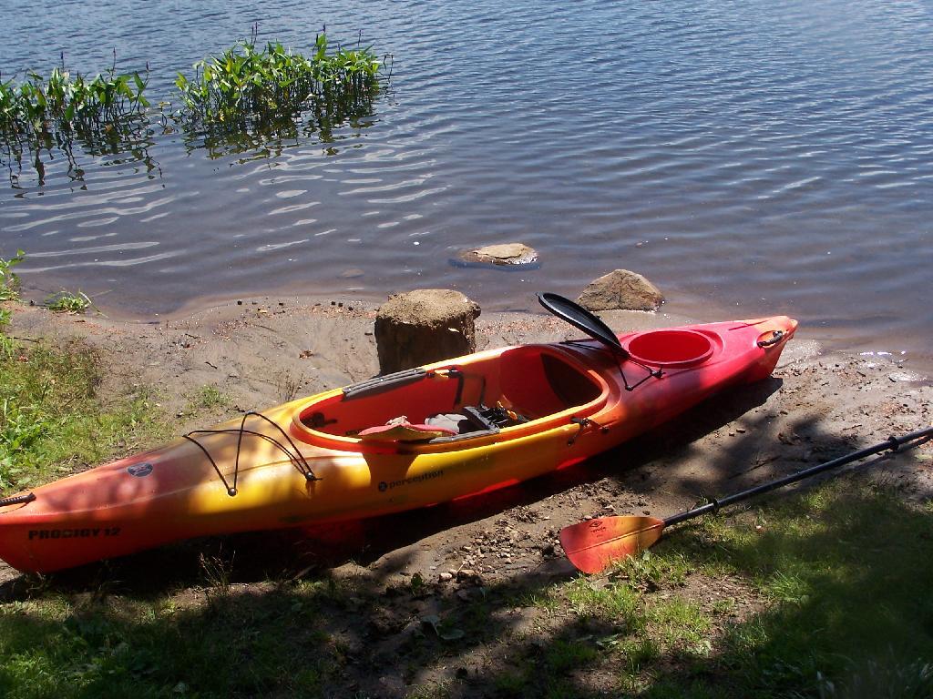
Kayak Parked
This is at the Mason Lake Parking Area, where people pull off NY 30, totally oblivious to the camp sites across the lake.
Taken on Wednesday August 11, 2010 at Mason Lake.
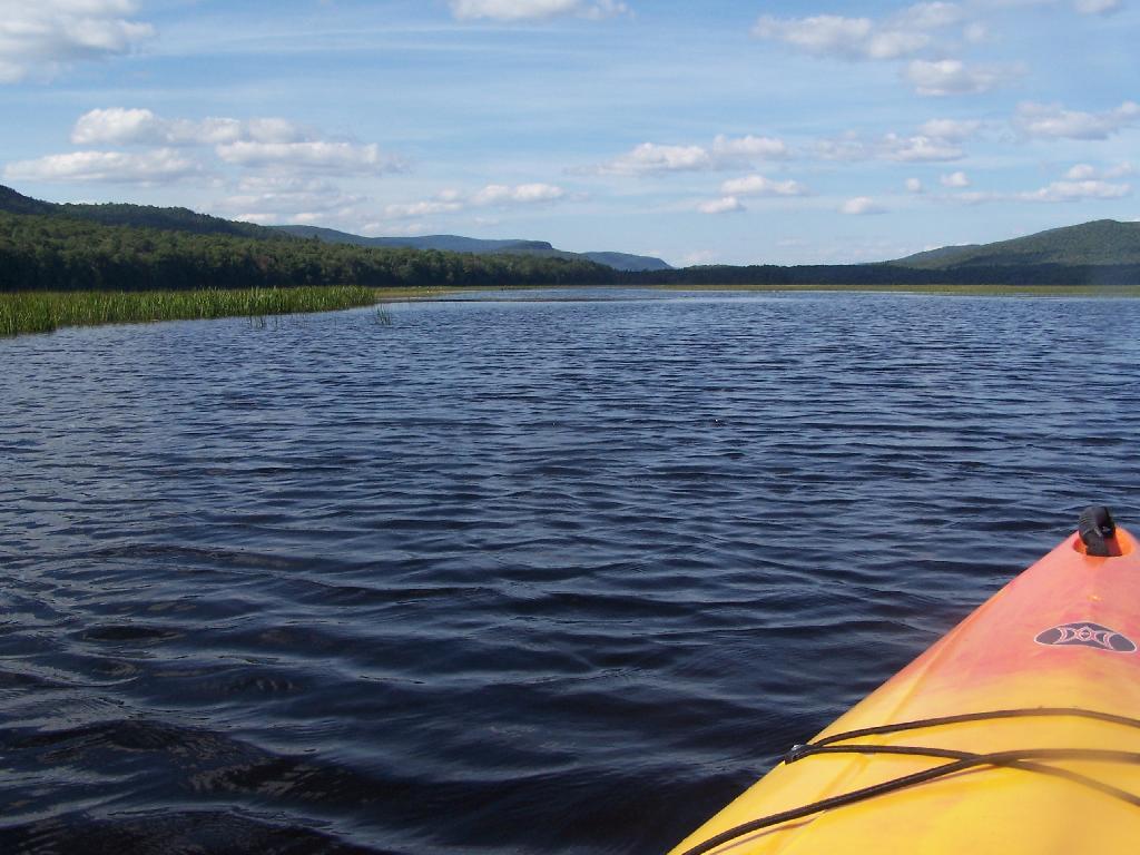
This is at the Mason Lake Parking Area, where people pull off NY 30, totally oblivious to the camp sites across the lake.
Taken on Wednesday August 11, 2010 at Mason Lake.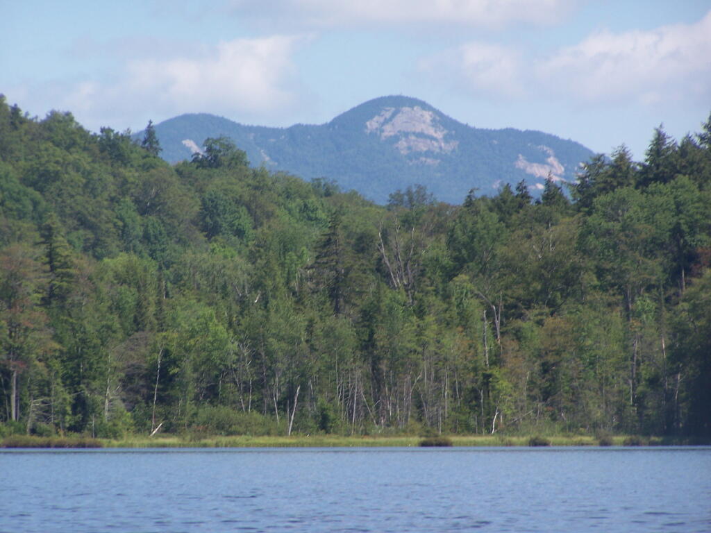
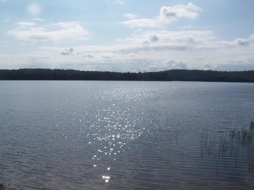
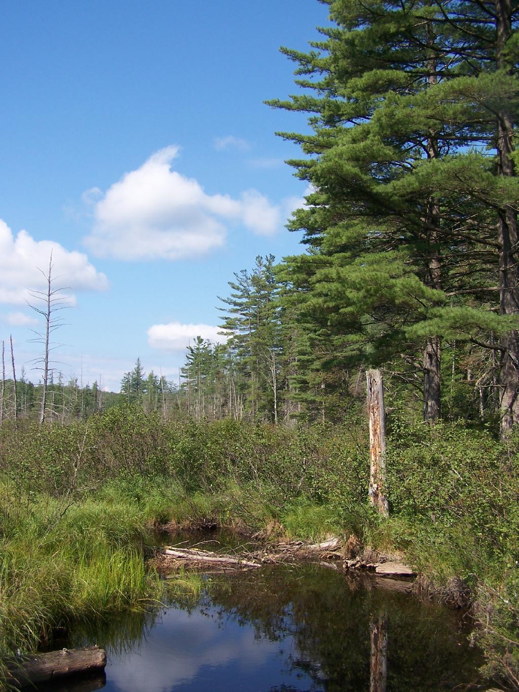
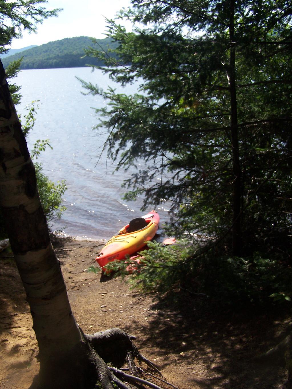
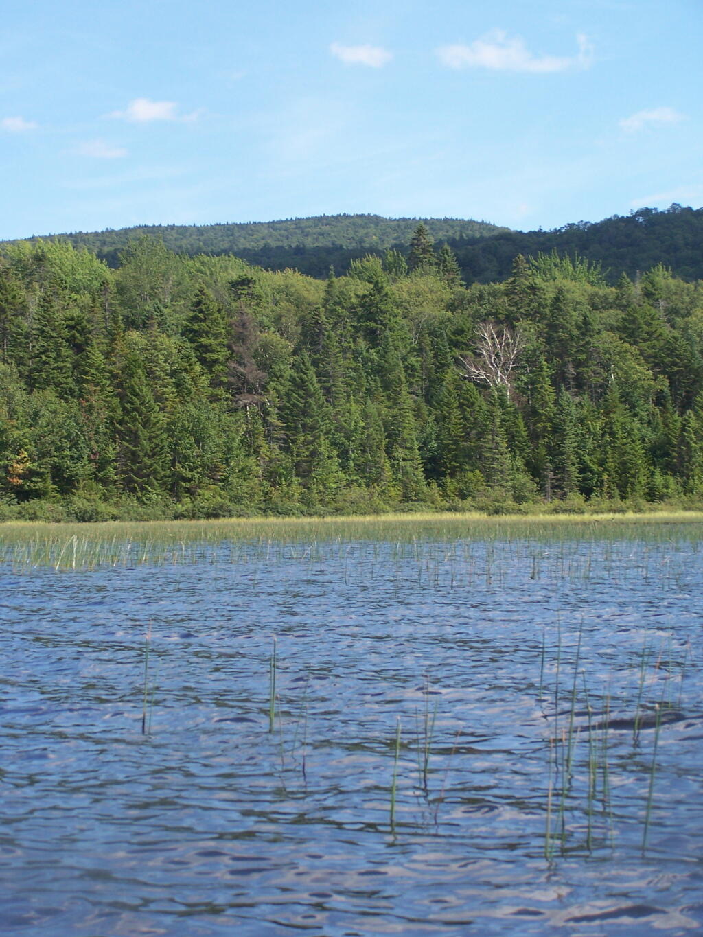
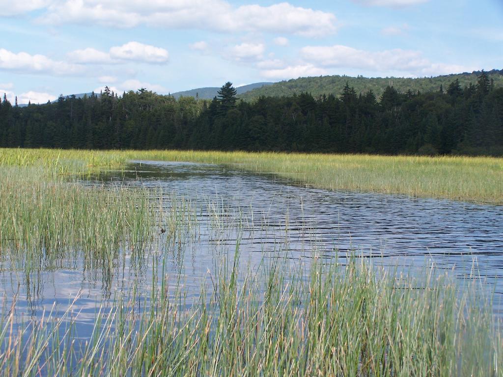
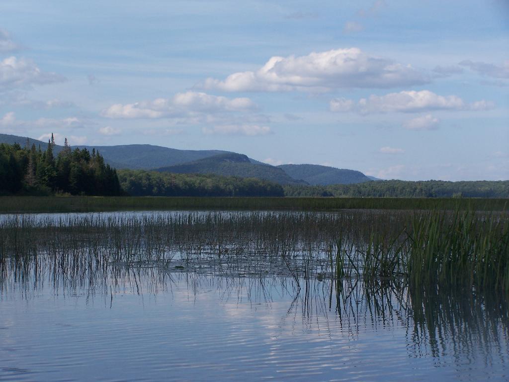
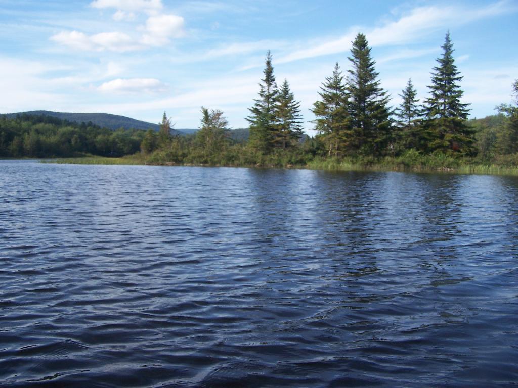
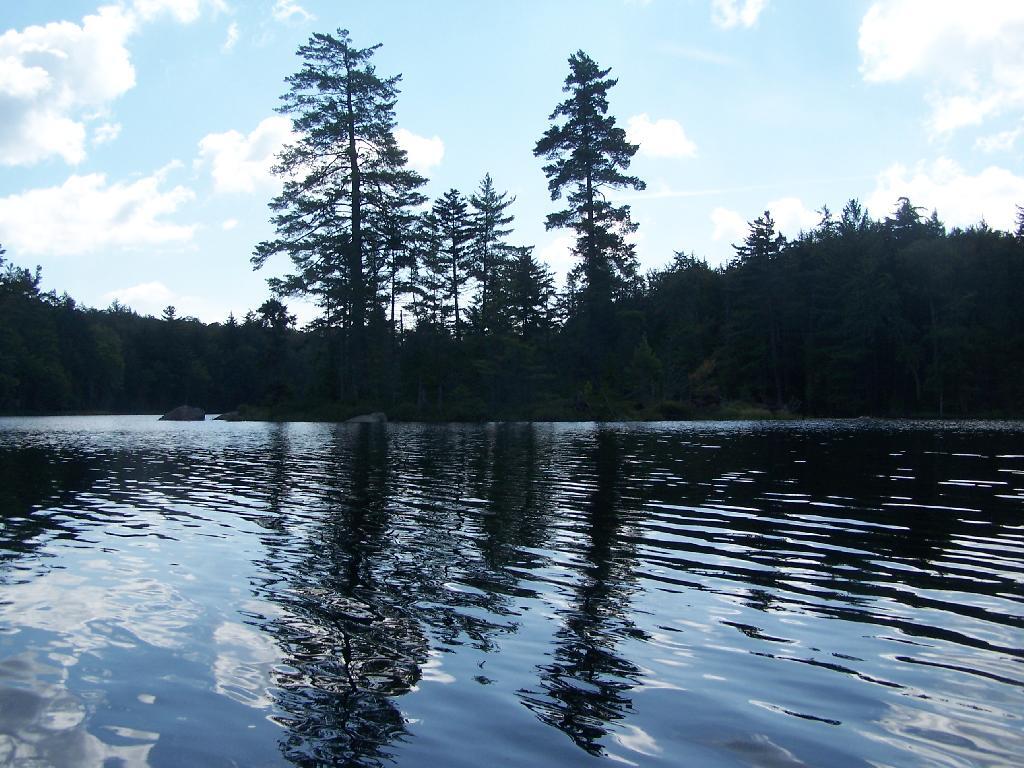
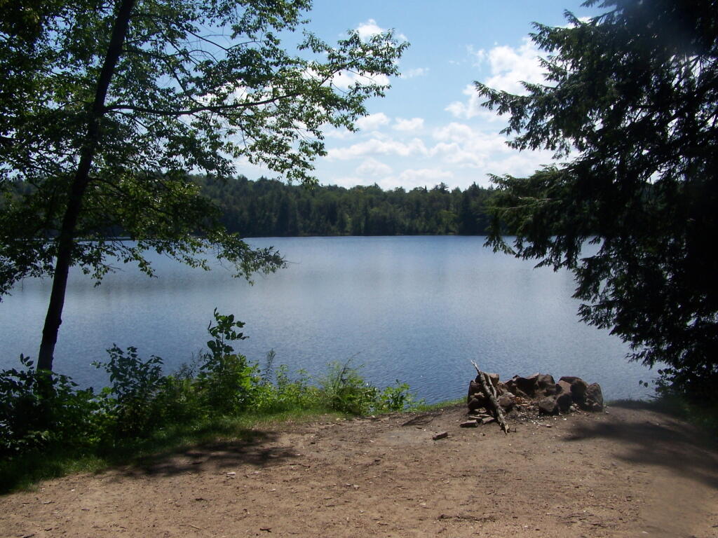
As seen from Mason Lake.
Taken on Wednesday August 11, 2010 at Mason Lake.Horseshoe Lake is located on South Eastern Saint Lawrence County, on a dead end state highway, NY 421, a spur from NY 30 South of Tupper Lake. It offers 6 campsites scattered along the lake, with 6 others on nearby roads. It is also near the Bog River Flow Canoe/Kayak Area. Don’t expect to get a campsite on the lake in the afternoon, but the sites along the truck trail are rarely used.
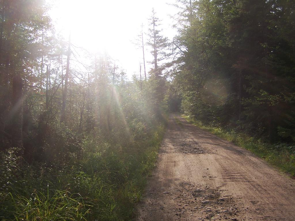
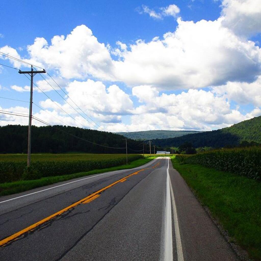
Six Miles to Horseshoe Lake. This is the turn off for NY 421, one of the strangest state highways in the state. It is a dead ended highway, that leads to gravel roads around Horseshoe Lake and Bog River Flow. It is very twisty and narrow, and portions have not been resurfaced in over 50 years.

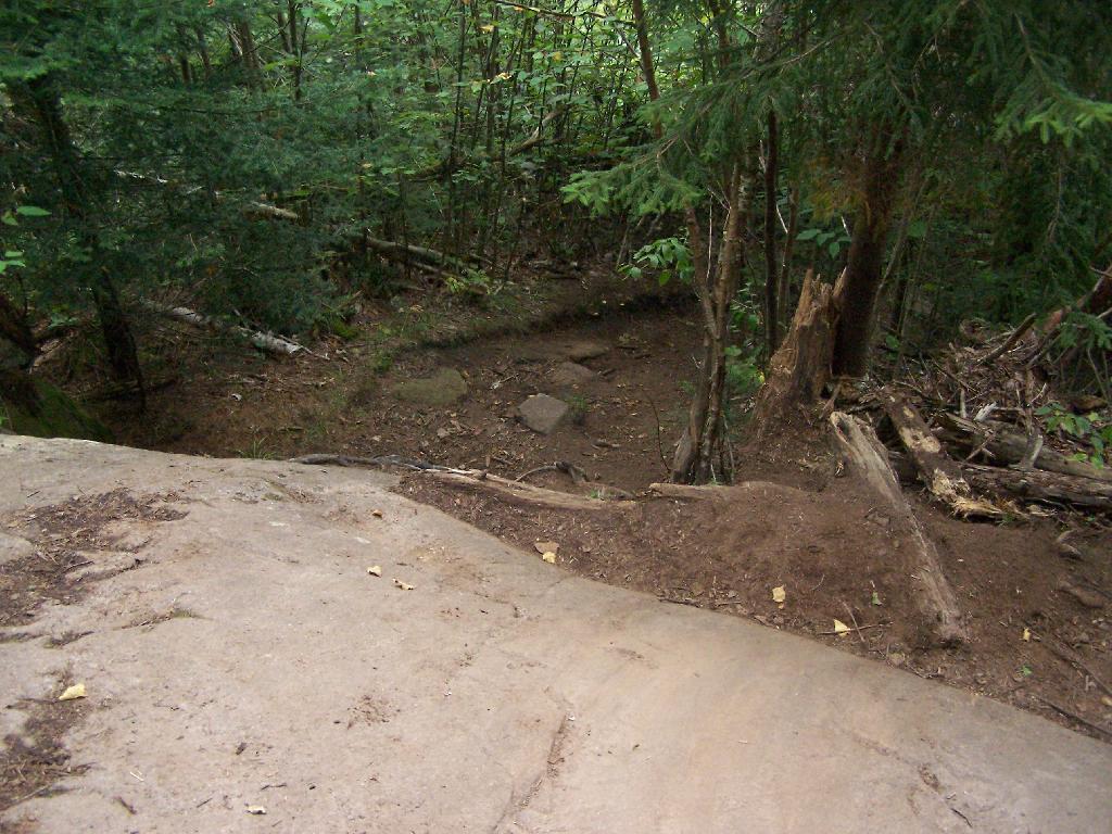
After The Pavement Runs Out. About a two miles from the paved end of NY 421, I camped. This is first thing in the morning, with the sun shining down from the wetlands near where I camped.
Campsite No 9. This is Campsite No 9 at Horseshoe Lake, on an Unnamed Adirondack Park Road, about two miles from the end of NY 421/Paved. I could not get site on the lake, arriving at 5 PM at night, but it’s still a nice campsite. This area of Saint Lawrence County is so remote, only 2 big pickup trucks, and logging truck passed by in the 12 or so hours I was there.
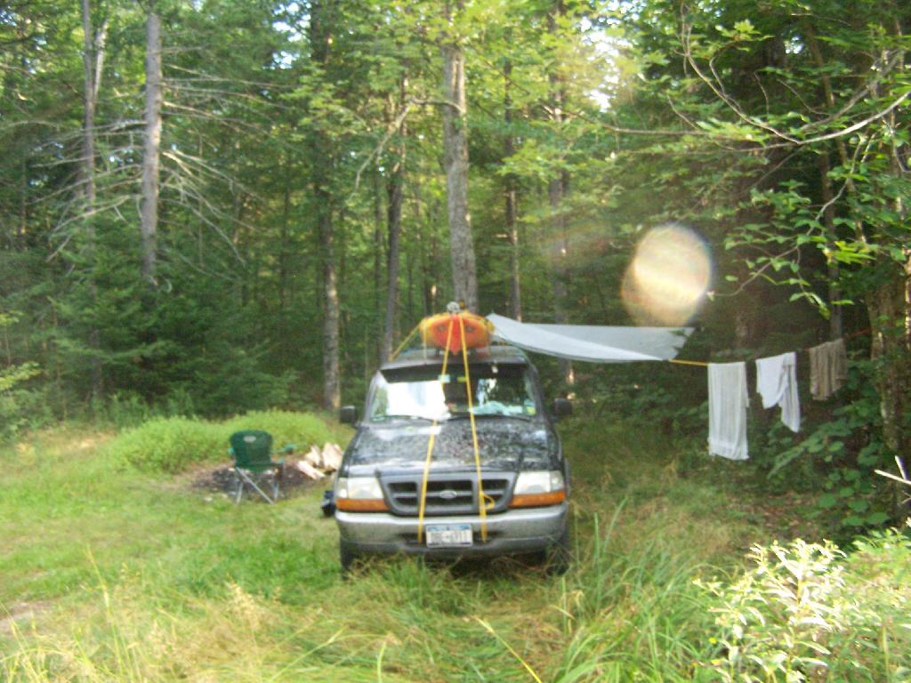
Not Fancy Campsite. By no means was Campsite No 9 on the Unnamed Road, particularly fancy. But it provided a place to camp, and was a three minute drive down to the lake. I could have gotten a spot on Horseshoe Lake most likely had I arrived in the morning, as it seemed like campsites tended to clear out in the morning.
Road Crosses Railroad Tracks. This is where the weird hair-pin turn appears on maps at the end of NY 421. I’m not sure why it follows this route, as the terrain is flat, but maybe at one time there was an inholding or private home located in here.
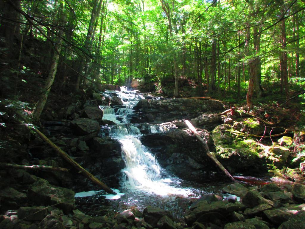
Horseshoe Lake in Morning. Heading swimming in a couple of minutes. The water was real nice.
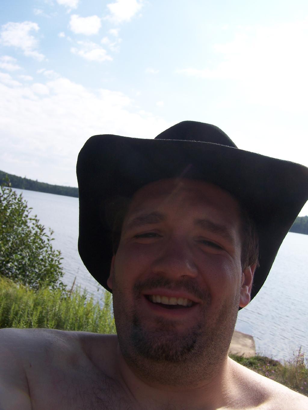
Cowboy Hat, Swimming Trunks, Work Boots. Not that you could get the total picture from this image. But the cowboy hat and work boots came off before the dip. A real country boy thing.
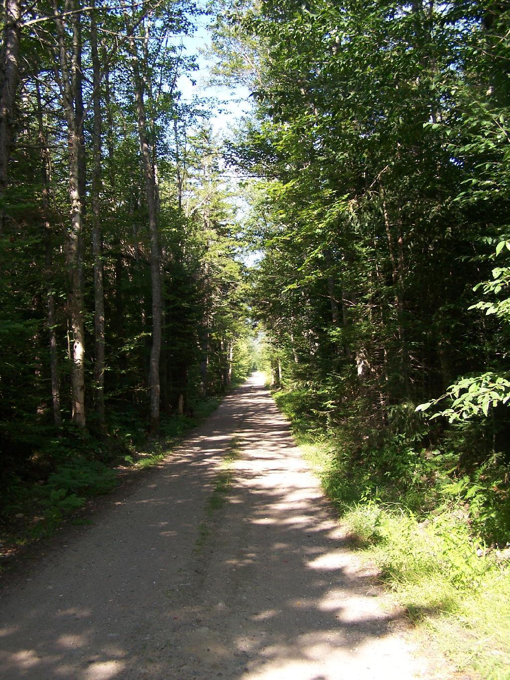
Unnamed Dirt Road. This is the road that goes from Horseshoe Lake to Mount Arab / Piercefield.
Wetlands Along Horseshoe Lake. This is about a mile after the pavement runs out on NY 421, just after the Bog River Flow / Lower Lows Dam Road turn-off
Here is a map of where I camped, on the truck trail, west of Horseshoe Lake.
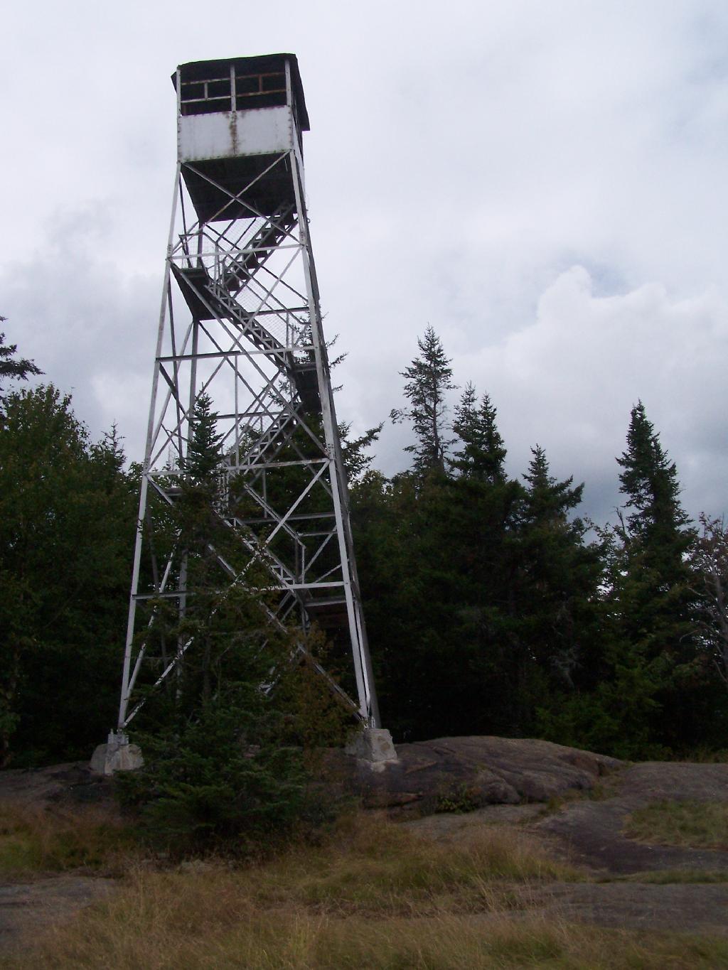
There are at least three different mountains in the Adirondacks known as Owls’ Head due to their small rounded peaks, with broad cols for shoulders. This one is the one near Long Lake, that has a 30 foot LS 45 Aermotor Firetower on top of it.
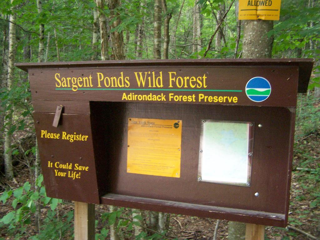
Sargent Ponds Wild Forest Kiosk. This is where you sign in, so they can have an idea on trail use, and make it easier to find you if your lost or injured.
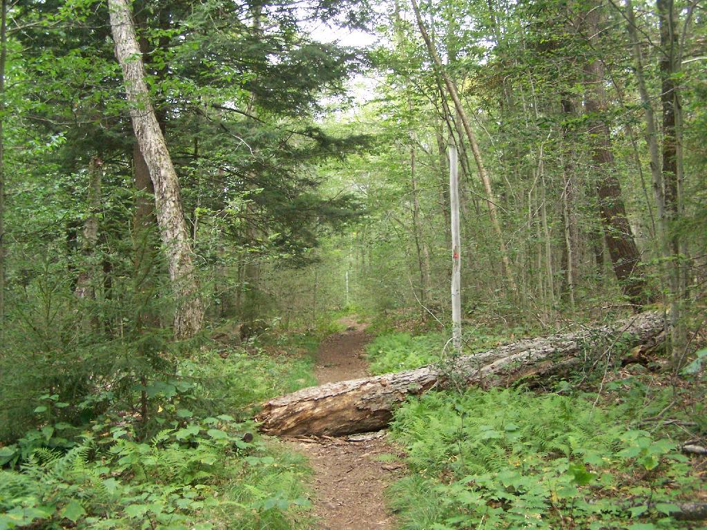
1/2 Mile In. The trail crosses this downed tree.
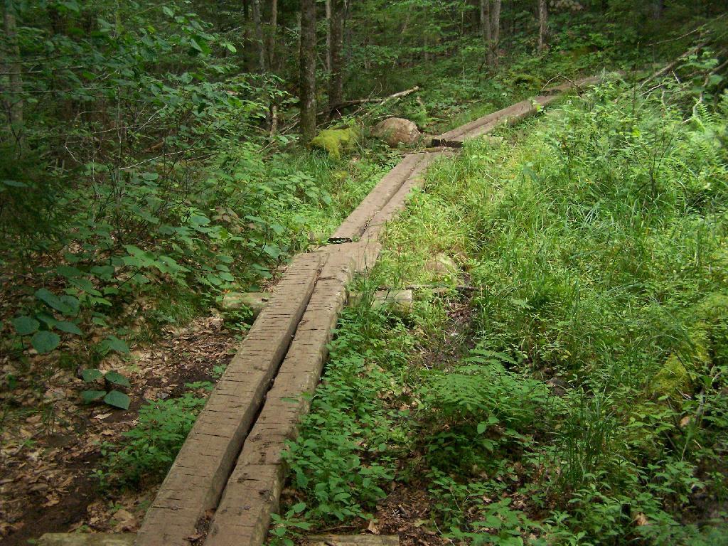
Boardwalks. Parts of the trail cross marshy areas on board walks, like these constructed on the first 3/4 mile of the trail.
T Intersection. Make a left at one mile, to go up Owls Head. The other direction takes you to the Lake Eaton State Campground.
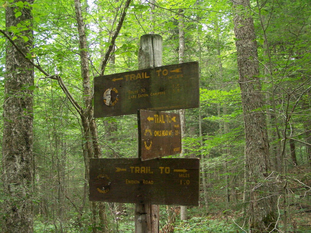
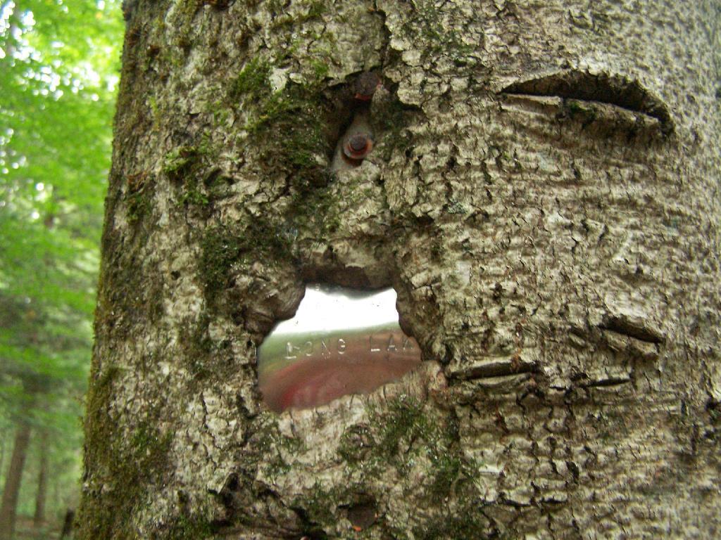
Grown Over Steel Trail Marker. It looks like in 1982, the state experimented with these imprinted steel trail markers along the trail, long since largely grown into the barks of the tree.
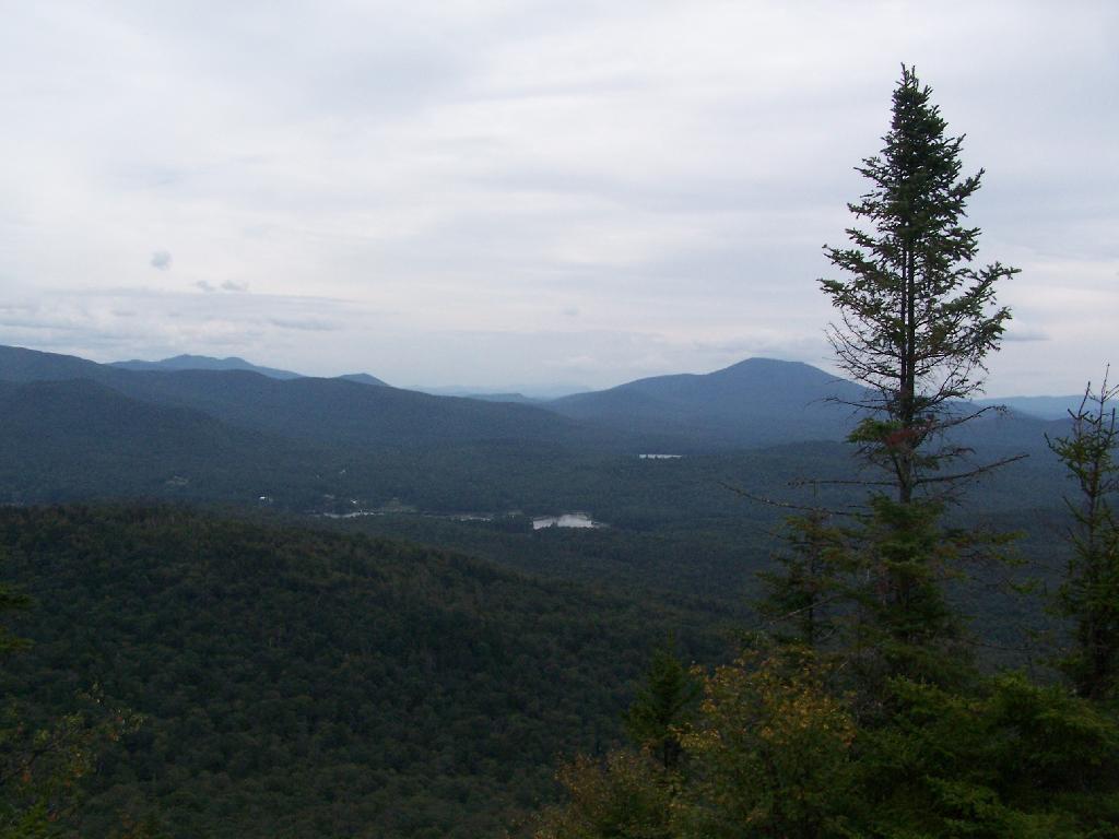
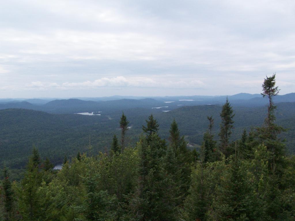
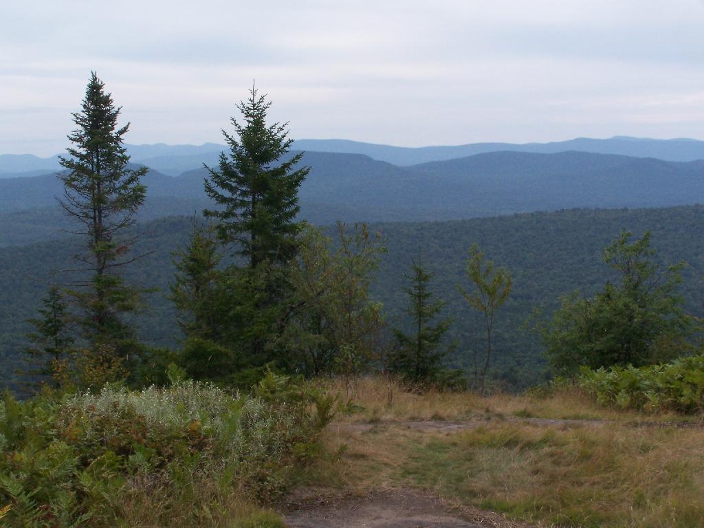
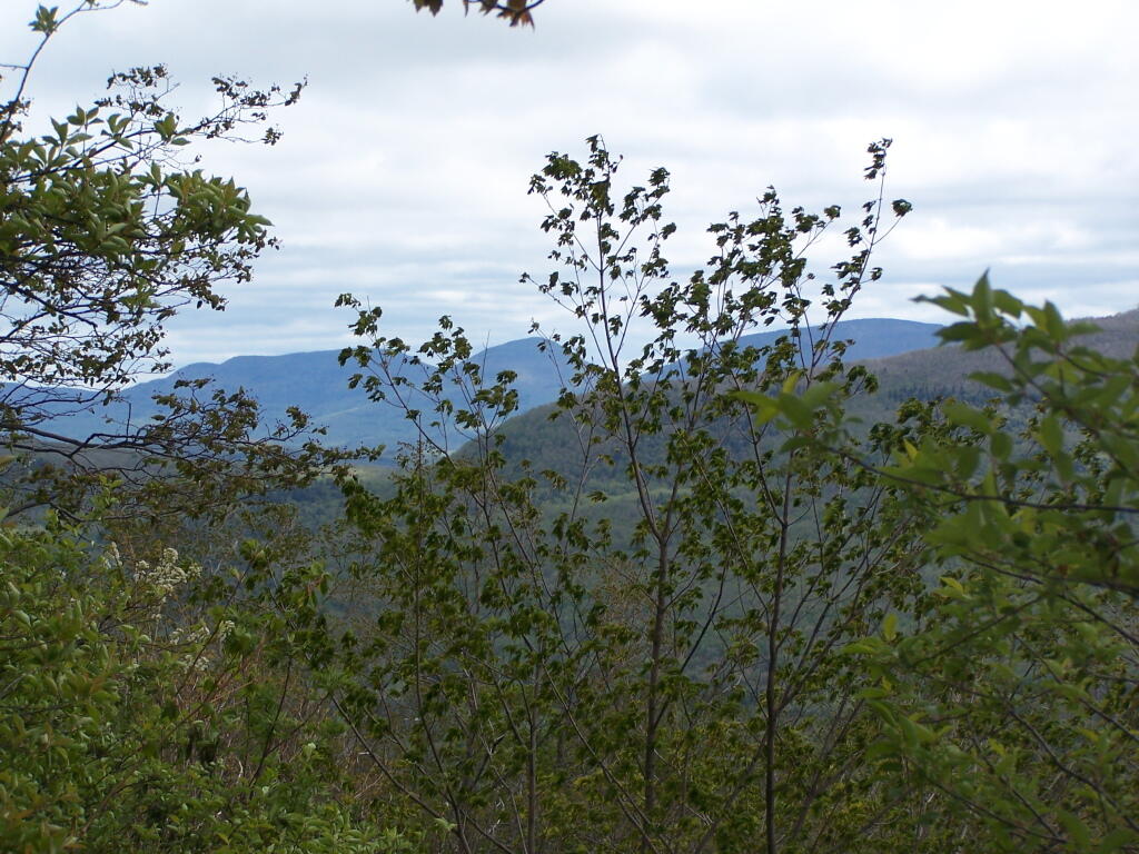
Views as You Ascend. This is looking backwards, towards the Sargent Ponds Wilderness, Lake Eaton, and the timber lands between here and Tupper Lake.
Observers Cabin Ruins. The cabin the fire warden lived in years ago, is not located on top of Owl’s Head, but below it on the shoulder. It’s a 1/4 mile hike to the top, and you accent about 200 more feet, up the pointly little head. The cabin was probably located here, so the warden could meet visitors, and escort them to the top.
Well Worn Trail. Part of the trail is well worn, and is on open rock face. The good news however is with the lush tree cover, you don’t have to worry about acrophobia up here.
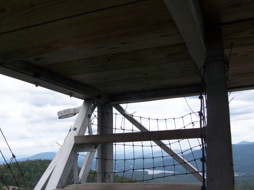
Reaching the Tower. You can’t see the fire tower until your almost on top of it, due to the heavy trees that surround the summit of the mountain, except for the bald portion where the tower is located, open to views to the south and east.
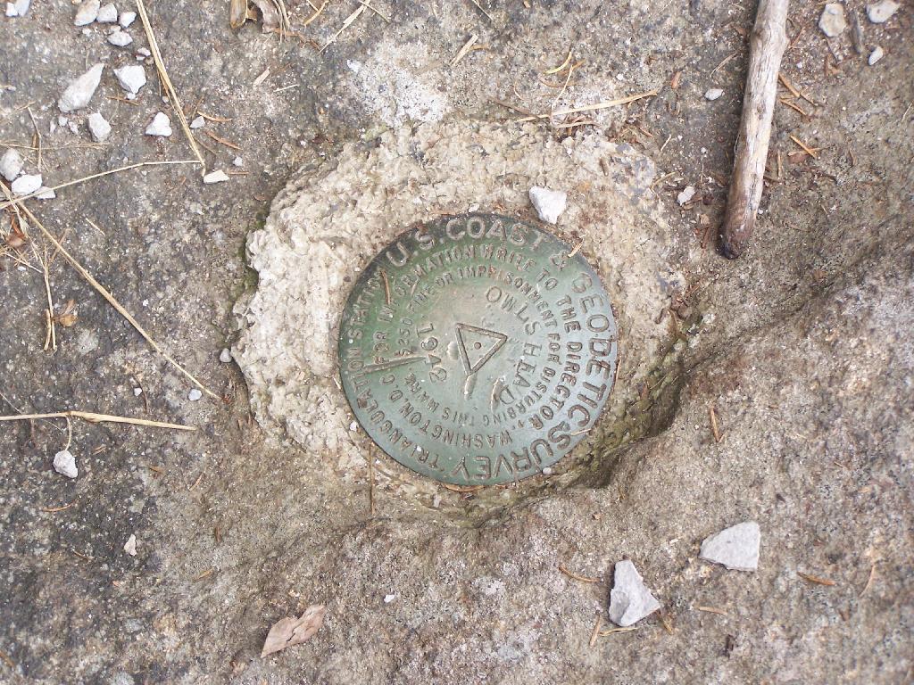
Survey Marker. It says it was placed in 1942 by USGS. It’s right below the fire tower proper.
Fire Tower. The fire tower is a 30 foot LS 45 Aermotor tower, pretty typical for NY State. It’s one of the short little towers, like also seen on Rondaxe Mountain in Eagle Bay.
Forked Lake. This is looking south from the summit towards Forked Lake Campground and possibly Racquette Lake. The mountain in the distance is Wakely Mountain, one of the other fire towers originally used to pin-point fires in the Adirondacks (it takes two towers to locate a fire through triangulation).
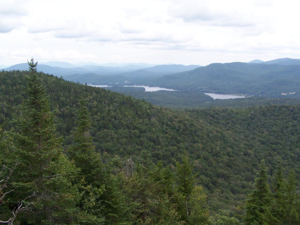
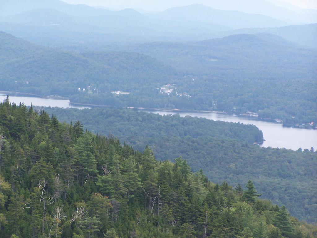
Long Lake. This is another picture of Long Lake, a little bit farther north, with the shoulder/col of Owls Head visible in the foreground.
North. In the distance is Saranac Lake and Lake Placid, with Whiteface just beyond it. Not the clearest or nicest of days, but still visable. In the foreground is the col/shoulder of Owls Head.
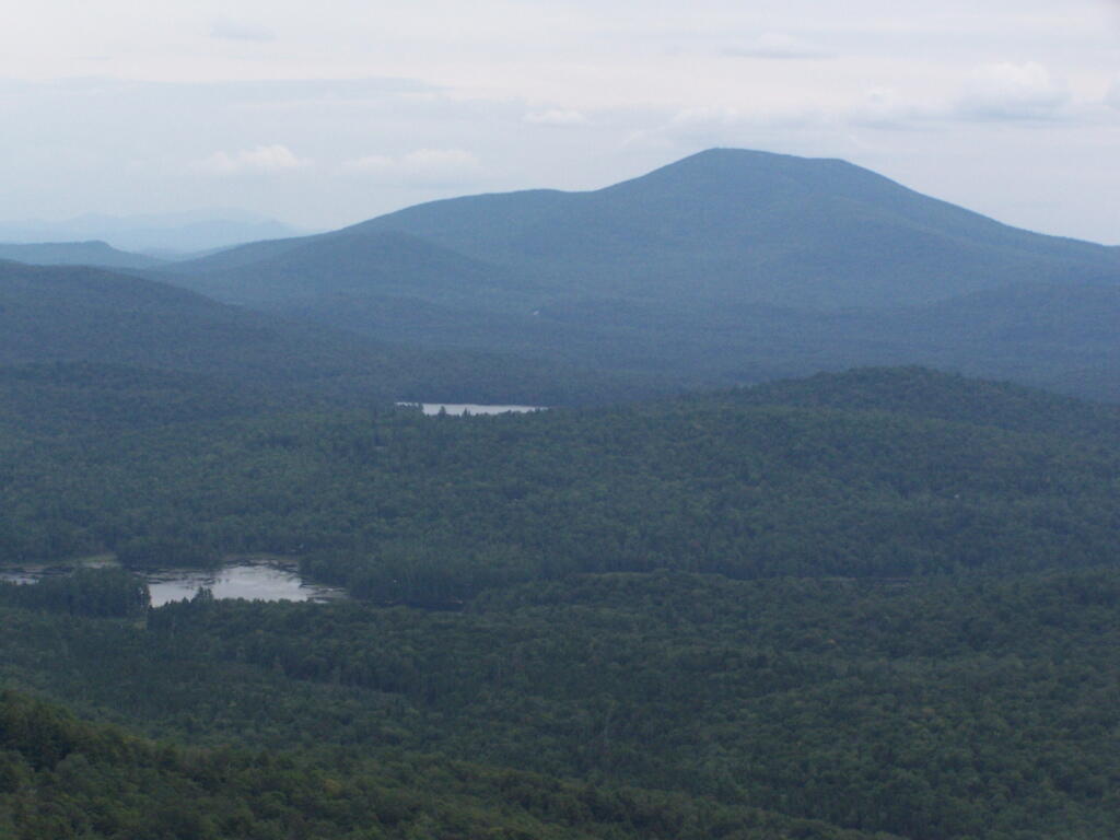
Blue Mountain. Blue Mountain is another fire tower / mountain that is visible from Owls Head. Located about 10 miles away, in the foreground are Minnow Pond and Mud Pond.
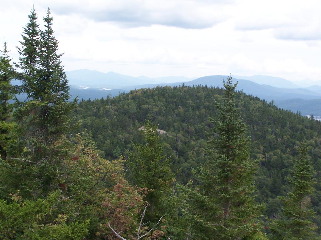
Sargent Ponds Area & Timberland. This portion north of NY 28 Corridor and Fulton Chain of Lakes is relatively flat, wild, and many portions privately owned as timberland.
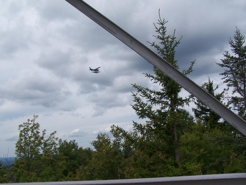
Float Plane. Owls Head is not the quietest mountain out there. Throughout the day, tourist float planes for hire, fly on and off Long Lake, just to north of mountain. They fly quiet low, as they are making the decent back to Long Lake.
Long Lake Village. While hazy today, you can see village of Long Lake quite well from the tower. It’s always crazy there, and I try to avoid towns whenever I’m in the Adirondacks.
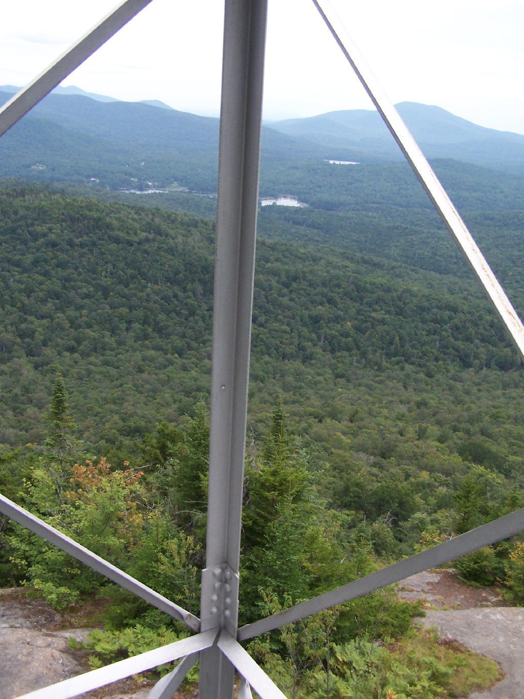
Fire Tower Corner. I always like pictures of the angles and construction of the fire tower. While common after climbing so many, fire towers have a lot of character in their structural steel.
Tower Cabin Closed. It’s unfortunate but the tower’s cabin on this tower is closed, as it’s used for communications equipment.
Sitting on Mountain. Just sitting back and looking south from the open rock face a top Owls Head.
Old Telephone Poll. Descending the trail off Owls Head, I saw several of the old telephone poles, heading up to the former Ranger’s cabin. Some have been cut down, and used to control run-off on the trail, but others still remain.
Here is a map of the hike.
View Owls Head in a larger map
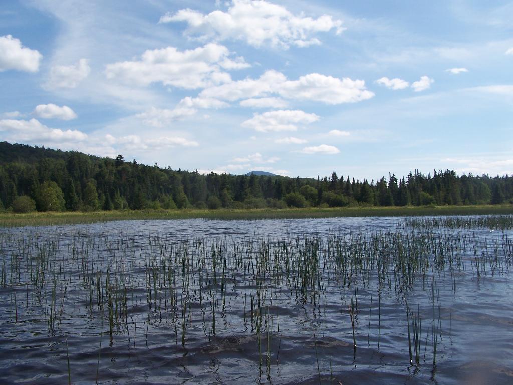
The Cedar River Flow is a 3 mile dammed up river, that provides a beautiful area to paddle around in between the Blue Ridge Hills, and other mountains that surround it. There are dozens of campsites along the lake, you can paddle on around in. On August 11th, I camped up at the Cedar River Flow Camping-area in my pickup truck, and paddled around the lake, up into the Cedar River a ways beyond the end of the flow.
Hook Near Payne Brook. Where it enters the Cedar River Flow, about a 1/2 mile from the entrance of the Flow.
Across Cedar River Flow. This more open portion was a bit rougher, although the wind was pretty slack on this day. Blue Ridge is in the distance.
South Over Cedar River Flow. It was pretty bright and glarey on the lake. I had my sunglasses on, and even had enough sunscreen on, along with the cowboy hat, but not putting sunscreen on my legs, left with me with bad burns on the legs.
Parked on Cedar River Flow. At one of the campsites. I really had to take a piss, because that’s what drinking beer does to me, and it’s pretty hard to do in a kayak, without hoping out.
Campsite on Cedar River Flow. This was one of the less nicer campsites on Cedar River Flow, causally developed and not by the DEC. The nicer paddle in campsites have picnic tables, and outhouses.
View from Cedar River Paddle-In Campsite. Quite nice, and a sandy beach for swimming and getting clean.
Edge of Cedar River Flow. This was at the campsite I pulled off at to take a piss.
Cedar River Flow Becomes Marshier. As you proceed west on Cedar River Flow, it becomes shallower and shallower, until it’s marshland. It can be a little hard to paddle if you get out of the channel, but in the channel, it’s pretty deep.
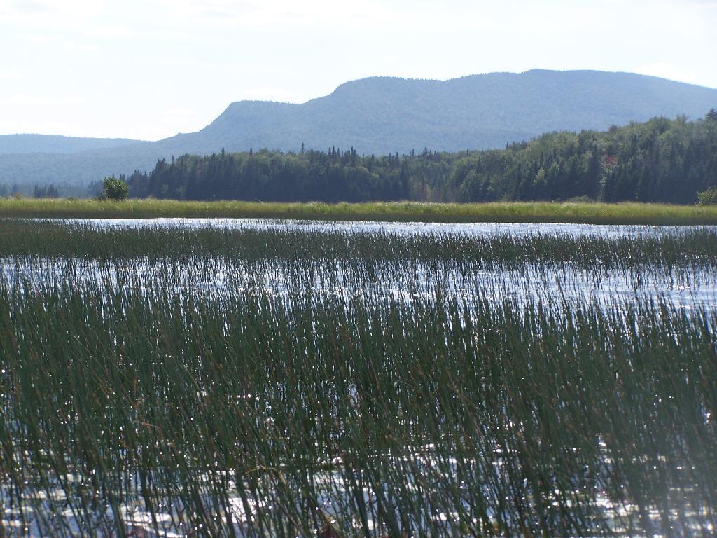
Marshy Flow and Pillsbury Mountain. This is almost the end of the flow, before it becomes all marsh, and you have to follow the Cedar River to get farther west then this.
Sturges Hills and Wilson Ridge. This is across the marshy end of Cedar River Flow, looking to the north-west.
Tougher Paddling. Soon I will find my way onto the Cedar River, which gets much easier, despite a fairly strong current on the river.
Canadian Geese. On the Cedar River Flow.
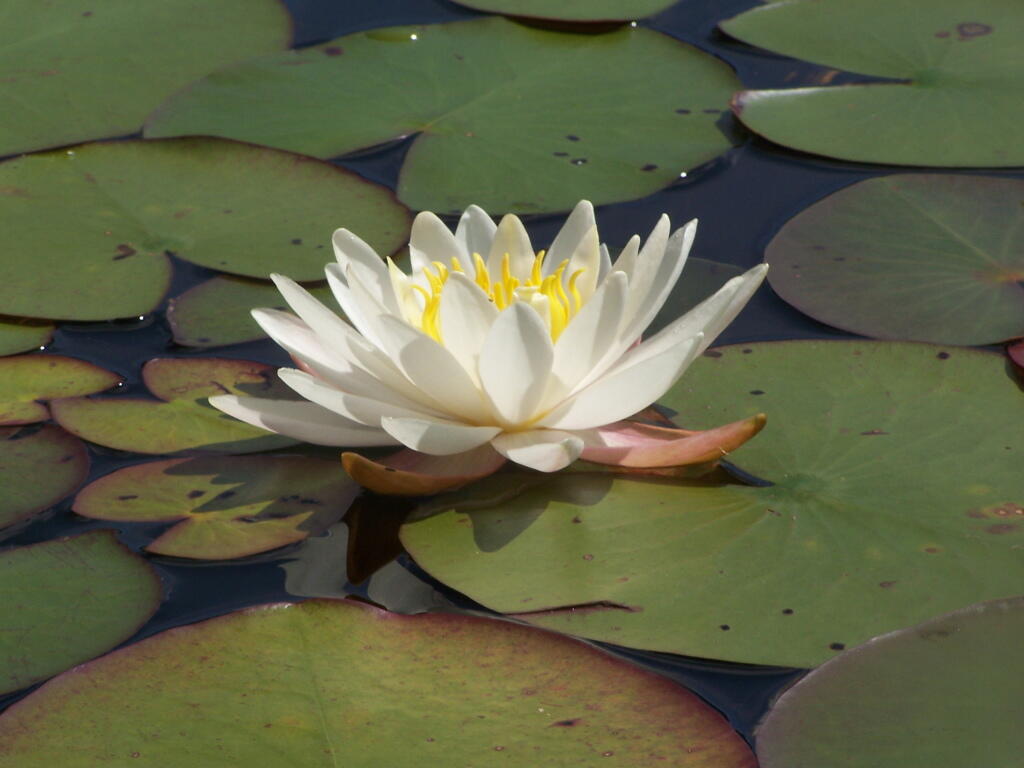
Pond Lillies on the Marsh and Mush. Not fun at all for paddling through on the Flow. That said, if I was in the channel, it wouldn’t be so hard, but I was looking for another stretch and piss spot. All that beer made for tough going in the boat.
End of Cedar River Flow. From here it’s just marshland and the river, flowing to the south west.
Paddling Thru Cedar River. The current was pretty strong, but still very much paddle-able from here.
Down Along the Cedar River. It was a pretty afternoon for paddling, but my arms where starting to feel it against the current of the river.
Navigating Oxbow in Cedar River.
Back in the Flow. The low hills of Blue Ridge and Sturges Hills follow along the landscape of the flow.
Heading East Along Cedar River Flow. Only a couple miles back to the campsite.

East Across Flow.
South Across Cedar River Flow.
Kayak in Site on Cedar River Flow. This is one of the beautiful kayak-in sites that the DEC is proposing to close to appease the environmental extermists who believe the public should have no access to public lands.
Very Basic Campsite. Still it seemed like some place that would be nice to paddle in one day with a tent.
A Quick Swim, Then Back in Kayak. This is another nice sandy beach at Cedar River Flow.
Shoreline Near Payne Brook. This is the hook that jets out into Cedar River Flow.
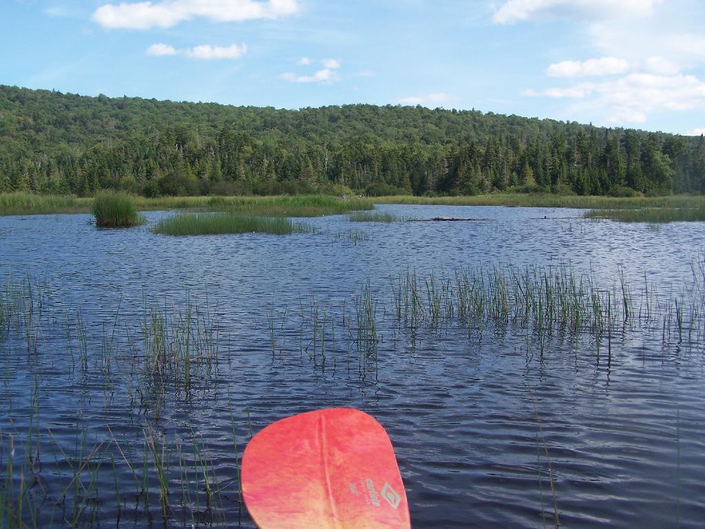
Kayaking Pass an Island. On the Cedar River Flow.
Island with Pillsbury Mountain. And several other mountains, looking west down towards the Plains.
Past the Payne Brook. On the Cedar River Flow. Almost back to Wakely Dam, and the drive-in campsites.
Flooded Lake. This portion of the Cedar River Flow, demostrates how very much this area was once open plains, until the DEC flooded the area shortly after obtaining the land from Gould Paper Company in 1967.
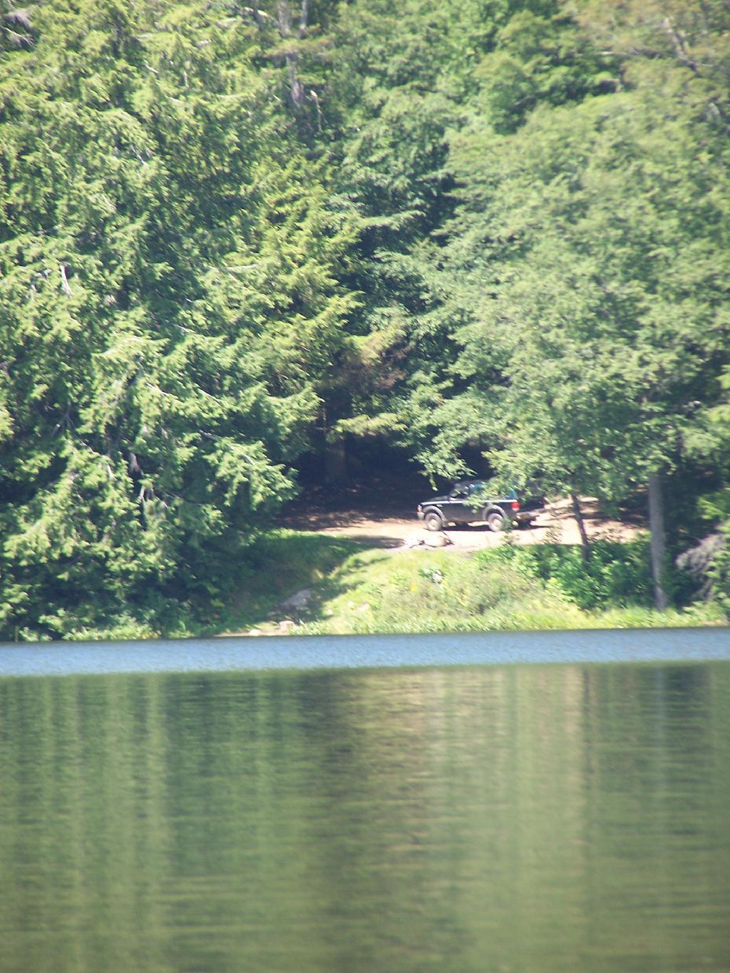
Back to the Wakely Dam. As you can see, it’s already starting to get dark. By the time I’m out of the water, and cleaned up, it’s already 6:30 PM. I then go for a little drive up to the plains (an hour away), and pick blueberries.
The Wakely Dam. There are no posted weight restrictions on this dam, and people regularly bring their fifth wheel campers across it. That said, the Albany bureaucrats in the DEC wants to close off vehicular access, because they don’t believe the public should be allowed to camp on their own lands, especially not in something like a pickup truck or an RV.
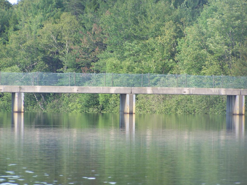
Getting Ready to Pull Out. I’m camping at the site right next to Wakely Dam</>, namely site No 8.
Here is a map of the lake. The Wakely Dam is to the North, the Cedar River flows from the south in the West Canada Wilderness.
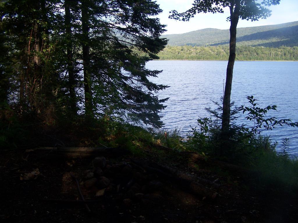
Mason Lake is located in the Adirondacks just off NY 30. It has primative camping, I camped their last night (August 10th), and also camped there on July 31.
It’s a two hour drive from Albany, so it’s not as far north as Moose River Plains, and can be done on a Friday night. It’s fairy popular, but there is usually some of the 6 out of 12 non-lake side campsites are always avaliable, and it’s not like it’s ever crowded on the lake in a boat.
I paddled down to the southern end of the lake, with a stream exiting Mason Lake. This part of the Jessup River is unpassable by kayak due to many trees crossing on it.
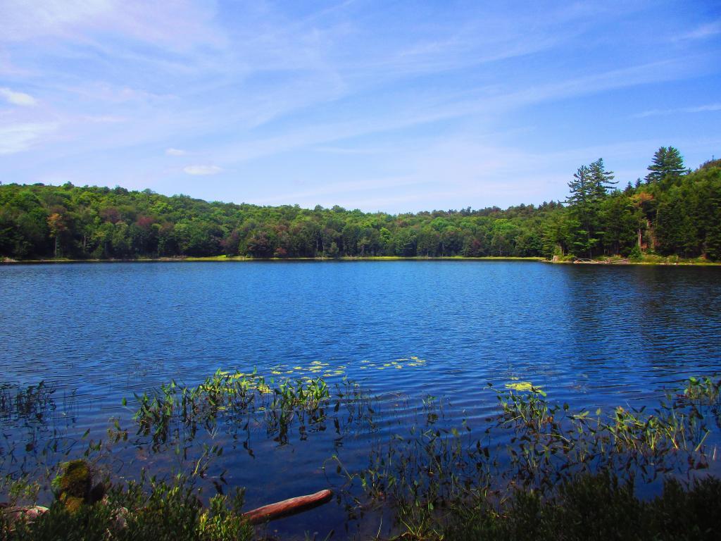
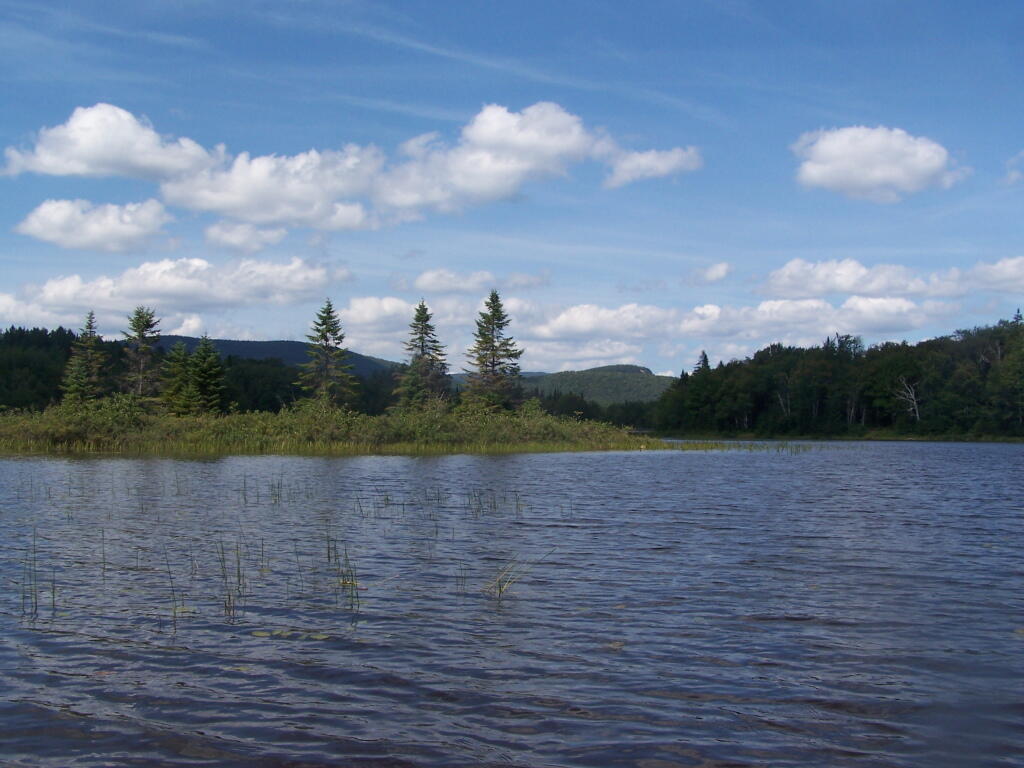
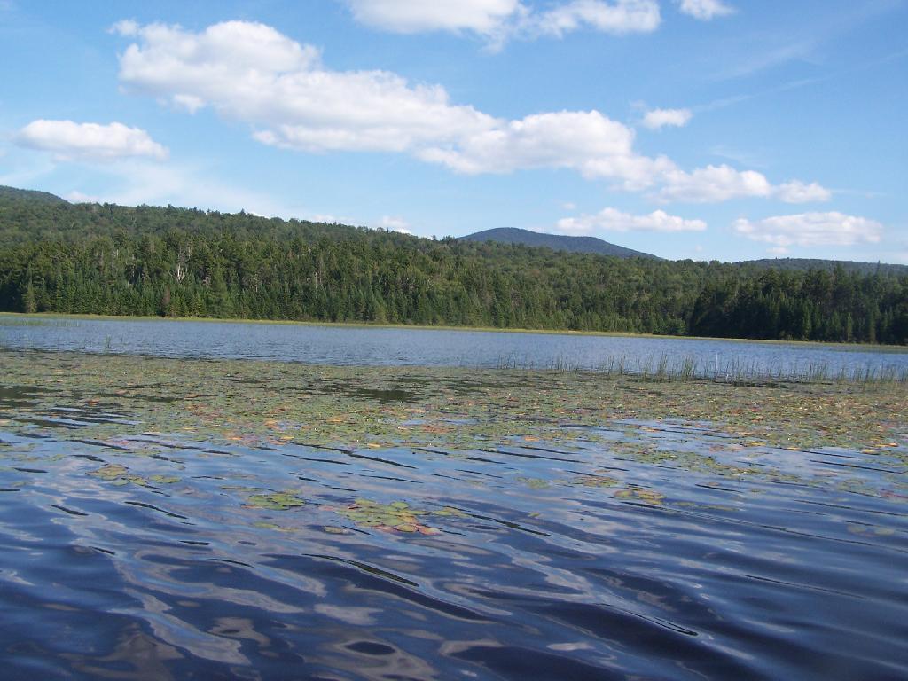
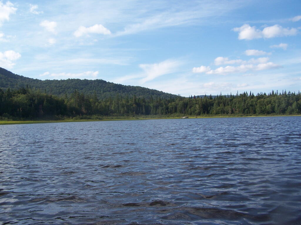
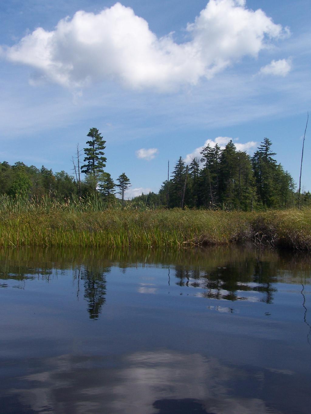
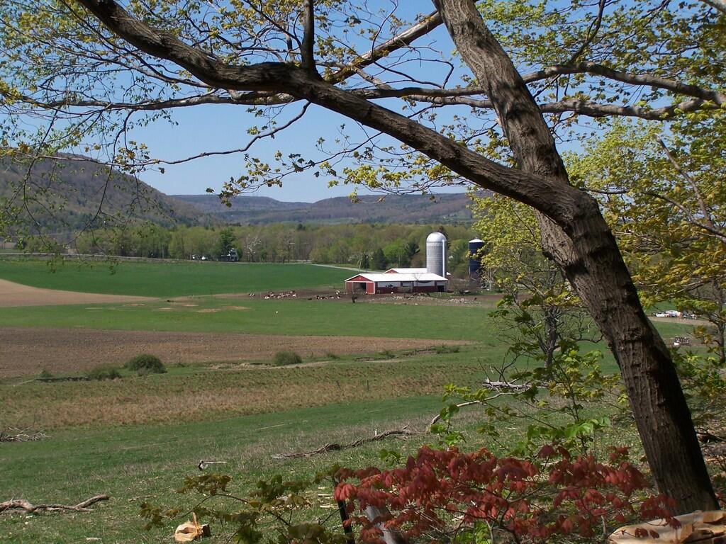
It was a beautiful day at Mason Lake with puffy clouds above.
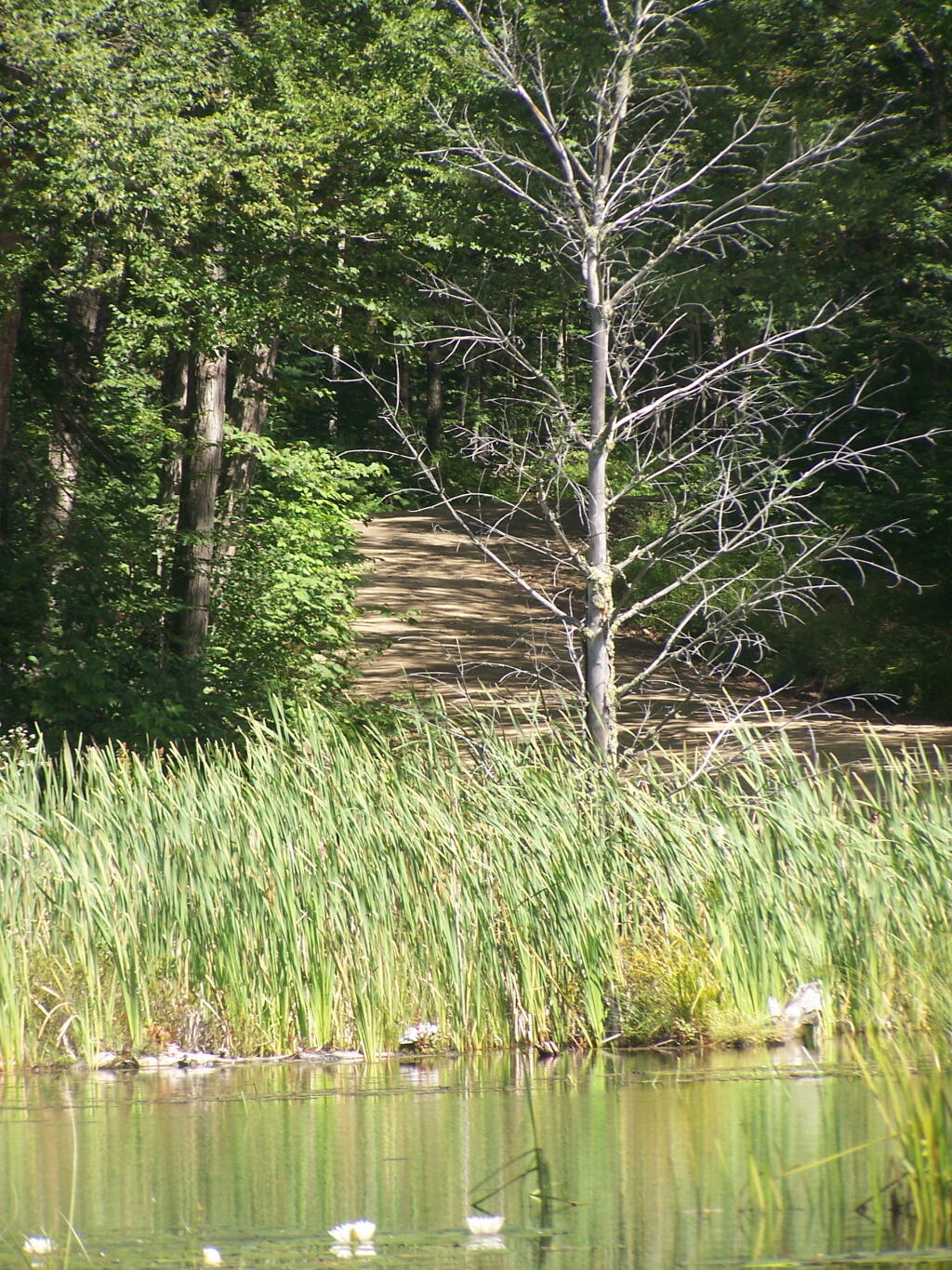
Thru Swampy End of Mason Lake. You had to watch out for trees on the bottom that you could get hung up on.
Jessup River Road. As seen from the southern end of Mason Lake paddling around.
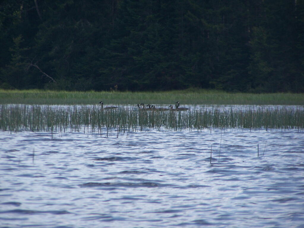
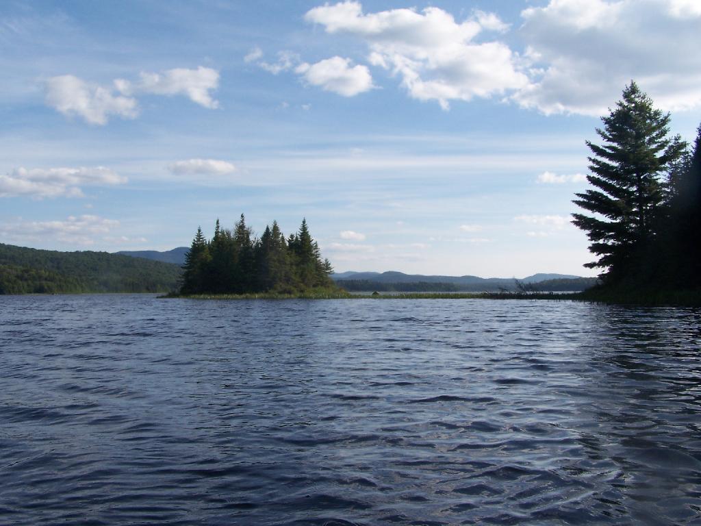
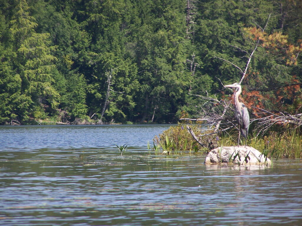
Great Blue Heron, standing tall on an Island on Mason Lake.
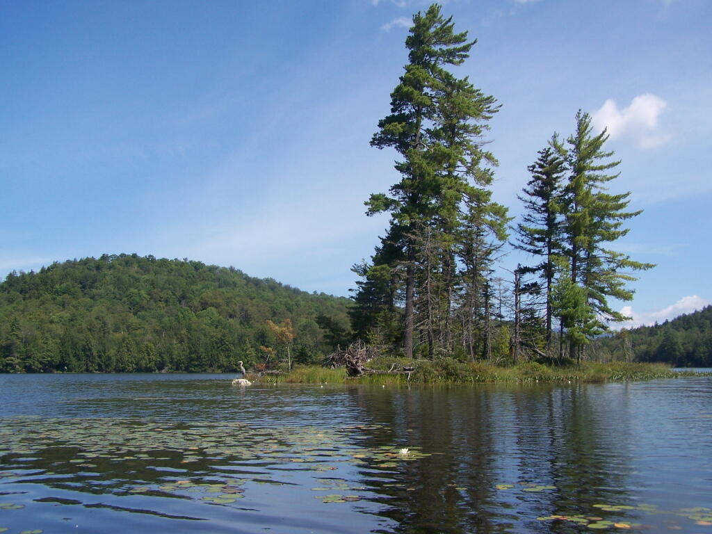
Snowy Mountain. As seen from the middle of Mason Lake.

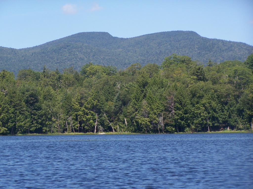
Lower Blue Ridge. As seen from Mason Pond. Beyond this ridge is Moose River Plains and Cedar River Flow.
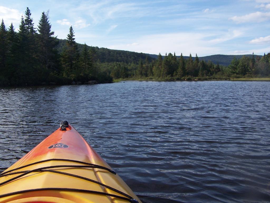
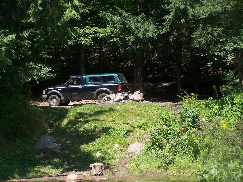
Kayak Parked at the Mason Lake Parking Area, where people pull off NY 30, totally oblivious to the camp sites across the lake.
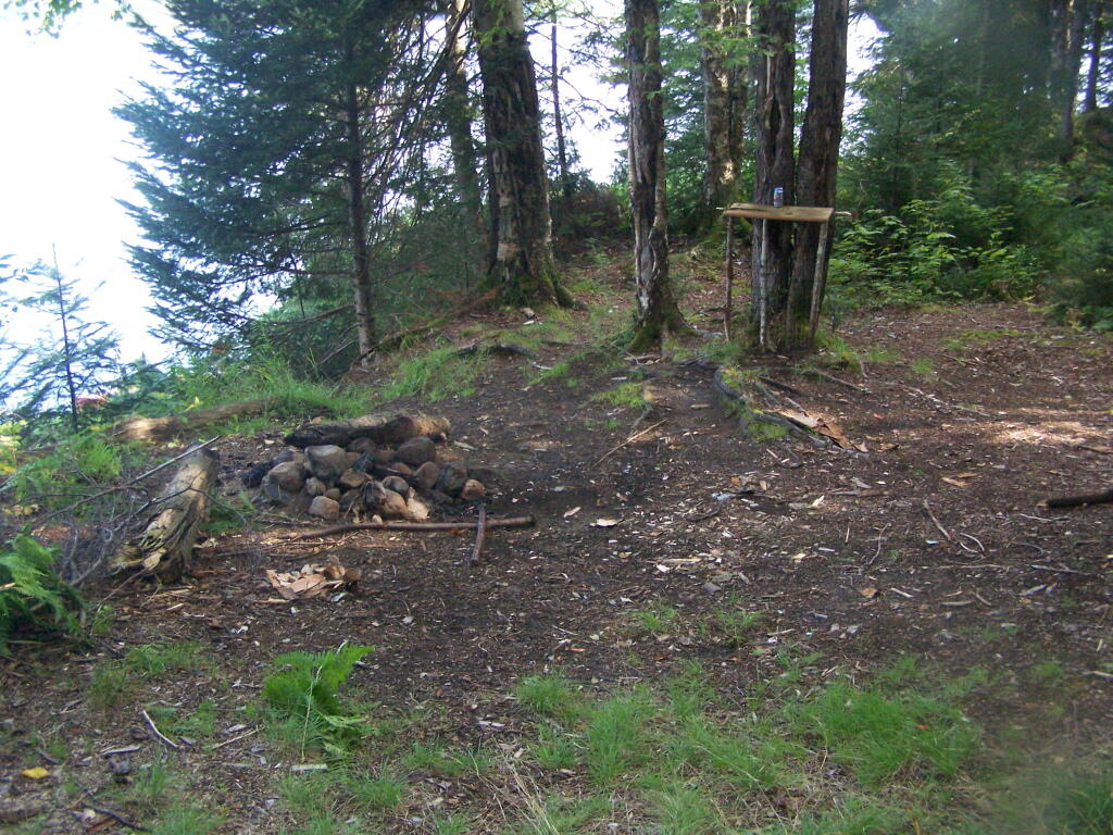
Lakeside Campsite. This was the lake campsite at Mason Lake I camped out on Tuesday night. It was pretty nice that night, although I didn’t get any pictures, because I was dead tired after driving up two hours after work.
Truck’s All Packed. All I have to do now is put the kayak on the roof of my truck, and head north to Cedar River Flow for the next day of camping out.
Lake Side Parking. This by where I camped down at Mason Lake.
The campsite I stayed at with it’s views at Mason Lake. It was real nice.
Styrofoam Canoe Blocks I Made. I cut up an old styrofoam sleeping pad, rolled it up, cut notches, and duck taped it all together. It worked well, far better then trying to let the kayak ride directly on the roof of the pickup.
Here is a map of the lake. 12 Campsites are located along Jessup River Road, 3 which are RV/truck accessible with water, 3 that tent sites, and about 6 nearby the water. It’s great.
In our country we tax criminals and sex offenders through fines and user fees, so why not tax the politicians? We know that many politicians enguage in criminal behavior, and those who don’t probably are wasting a lot of public money mostly for their own benefit.
Politicians spend a lot of the public’s money, often for their pet causes. So why not ask them to contribute a little more tax dollars to society’s benefit as a whole? Why not have a have a 10% income surcharge on top of their existing tax bracket, something that is affordable enough for the average man who wants to get into the dirty business of politics, but also enough to make up for what the politicians take from society.
While it’s probably not realistic to make politicians tax themselves, it does seem like a good idea. When political people take so much from society, they should be asked to give a little bit more back, in the form of a modest 10% surcharge on all income earned.