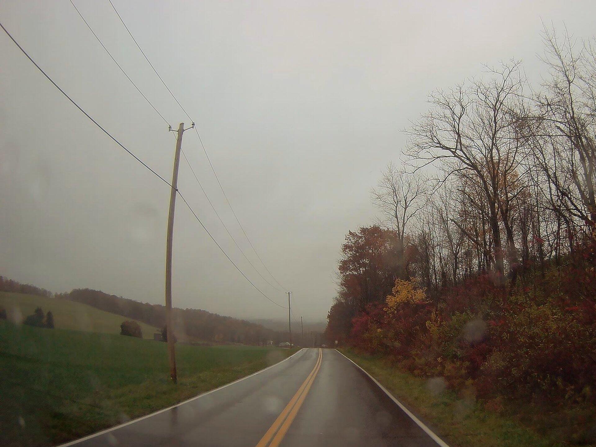
Photo: Raining Morning On LaGrange Road Download a High Resolution JPEG Image of the Raining Morning On LaGrange Road or an Adobe Acrobat Printable PDF of the Raining Morning On LaGrange Road. Raining Morning On LaGrange Road ... Taken on Wednesday November 1, 2017. More about ...Aerial Photos50 Years of Earth Day History – How ‘Silent Spring’ Changed the WorldA Filthy When New Yorkers Lived Knee-Deep in Trash | Collectors WeeklyAlbany (NY) The Battle In Lincoln ParkAlbany Lumberyard (1857 vs. 2017)Atrim Coal Mine And LandfillAugust 23, 2016 10 AM UpdateAutomotive Rusty Jones – The Face Of Rustproofing – Curbside ClassicBennett Hill Today and Yesterday (1956 vs. 2018)BerneBlackwater FallsChittenango (1956 vs. 2017)Costcos (After vs. Before)Crossgates 1970s (1973 vs. 1985)Crossgates 1985Delta LakeDowntown TroyEnd Of The LOSPForgotten Jaite Ohio’s Abandoned Paper Mill, Railroad, and TownGreen Lakes State ParkI-86 And I-390 InterchageLabor Day history: 3 pivotal moments in the modern workers’ movement : NPRLackawanna Steel (1963 vs. 2018)Lyme vaccine history: Why LYMErix failed and there’s no alternative yet.Newburgh (1969 Urban Renewal Proposal vs. Today)OleanOriginal Can of Worms vs Erie Canal (1895 vs. 1971 vs. 2020)Photo: Adirondack Homeland Rock at Crane Pond RoadPhoto: Historic Fort Herkimer ChurchPlatte CloveQuonset Hut From World War II & BeyondSOOKE HISTORY: Bedspring Bridge was unforgettable experience | Sooke News MirrorThe Eagle Lake & West Branch Railroad: Discover History & Explore Nature: State Parks and Public Lands: Maine ACFThe New Look of Transit Orriented DevelopmentThe Old Letter SThe State Office Building, 1948Tip of Presque Island May 1939Tongue MountainTug HillVermont Welcome Center InterchangeVly Creek ReserviorWMS Map: Auburn ArterialWakely Dam (1942 vs. 2017)Warren Anderson ExpresswayWashington Avenue Extension (1973 vs. 2018)Water Pollution in Lake Champlain, Georgia-Pacific Mill 1964Watkins Glen from Above Seneca LakeWilcox LakeWolf HillWolf Road 1952Maps and InteractivesYou may noticed that I have been doing many interactive maps on the blog lately using leafletjsZoar ValleyYoung LakeYou can see the rain to the westYesterday was rather overcastYesterday was a pretty beautiful day !Yesterday morning for a whileYear of Building Construction – Schoharie, NYYear Built – City of BeaconYaw Pond RoadWysoxWyalusing, PAWurstboro CurveWorlds End State ParkWorld Famous Horseshoe CurveWoodward LakeWoods LakeWoodman Pond and Chenango CanalWoodlawn PreserveWoodland Valley – DEC CampgroundWolf Road – 1952 vs TodayWolf Pond TrailWinooski River in West WillistonWinona State ForestWinifred Matthews Holt Preserve... photos, maps and other content from from . Leave a Reply Cancel replyYour email address will not be published. Required fields are marked *Comment * Name * Email * Website Save my name, email, and website in this browser for the next time I comment. Δ
More about ...Aerial Photos50 Years of Earth Day History – How ‘Silent Spring’ Changed the WorldA Filthy When New Yorkers Lived Knee-Deep in Trash | Collectors WeeklyAlbany (NY) The Battle In Lincoln ParkAlbany Lumberyard (1857 vs. 2017)Atrim Coal Mine And LandfillAugust 23, 2016 10 AM UpdateAutomotive Rusty Jones – The Face Of Rustproofing – Curbside ClassicBennett Hill Today and Yesterday (1956 vs. 2018)BerneBlackwater FallsChittenango (1956 vs. 2017)Costcos (After vs. Before)Crossgates 1970s (1973 vs. 1985)Crossgates 1985Delta LakeDowntown TroyEnd Of The LOSPForgotten Jaite Ohio’s Abandoned Paper Mill, Railroad, and TownGreen Lakes State ParkI-86 And I-390 InterchageLabor Day history: 3 pivotal moments in the modern workers’ movement : NPRLackawanna Steel (1963 vs. 2018)Lyme vaccine history: Why LYMErix failed and there’s no alternative yet.Newburgh (1969 Urban Renewal Proposal vs. Today)OleanOriginal Can of Worms vs Erie Canal (1895 vs. 1971 vs. 2020)Photo: Adirondack Homeland Rock at Crane Pond RoadPhoto: Historic Fort Herkimer ChurchPlatte CloveQuonset Hut From World War II & BeyondSOOKE HISTORY: Bedspring Bridge was unforgettable experience | Sooke News MirrorThe Eagle Lake & West Branch Railroad: Discover History & Explore Nature: State Parks and Public Lands: Maine ACFThe New Look of Transit Orriented DevelopmentThe Old Letter SThe State Office Building, 1948Tip of Presque Island May 1939Tongue MountainTug HillVermont Welcome Center InterchangeVly Creek ReserviorWMS Map: Auburn ArterialWakely Dam (1942 vs. 2017)Warren Anderson ExpresswayWashington Avenue Extension (1973 vs. 2018)Water Pollution in Lake Champlain, Georgia-Pacific Mill 1964Watkins Glen from Above Seneca LakeWilcox LakeWolf HillWolf Road 1952Maps and InteractivesYou may noticed that I have been doing many interactive maps on the blog lately using leafletjsZoar ValleyYoung LakeYou can see the rain to the westYesterday was rather overcastYesterday was a pretty beautiful day !Yesterday morning for a whileYear of Building Construction – Schoharie, NYYear Built – City of BeaconYaw Pond RoadWysoxWyalusing, PAWurstboro CurveWorlds End State ParkWorld Famous Horseshoe CurveWoodward LakeWoods LakeWoodman Pond and Chenango CanalWoodlawn PreserveWoodland Valley – DEC CampgroundWolf Road – 1952 vs TodayWolf Pond TrailWinooski River in West WillistonWinona State ForestWinifred Matthews Holt Preserve... photos, maps and other content from from .
Leave a Reply Cancel replyYour email address will not be published. Required fields are marked *Comment * Name * Email * Website Save my name, email, and website in this browser for the next time I comment. Δ