US Forest Service Lands (Topographic): https://apps.fs.usda.gov/arcx/rest/services/EDW/EDW_FSTopo_01/MapServer/tile/{z}/{y}/{x}
USGS Digital Raster Graphic (Traditional Topographic, old paper): https://services.arcgisonline.com/arcgis/rest/services/USA_Topo_Maps/MapServer/WMTS/tile/1.0.0/USA_Topo_Maps/default/GoogleMapsCompatible/{z}/{y}/{x}.jpg
VIIR SNPP Night Time: https://gibs.earthdata.nasa.gov/wmts/epsg3857/best/VIIRS_SNPP_DayNightBand_At_Sensor_Radiance/default/default/GoogleMapsCompatible_Level8/{z}/{y}/{x}.png
MODIS Terra Vegetation Index: https://gibs.earthdata.nasa.gov/wmts/epsg3857/best/MODIS_Terra_EVI_8Day/default/default/GoogleMapsCompatible_Level9/{z}/{y}/{x}.png
MODIS Aerosols – Air Pollution: https://gibs.earthdata.nasa.gov/wmts/epsg3857/best/MODIS_Combined_MAIAC_L2G_AerosolOpticalDepth/default/default/GoogleMapsCompatible_Level7/{z}/{y}/{x}.png
UV Index at Noon: https://gibs.earthdata.nasa.gov/wmts/epsg3857/best/OMI_UV_Index/default/default/GoogleMapsCompatible_Level6/{z}/{y}/{x}.png
MODIS Terra Vegetation Index: https://gibs.earthdata.nasa.gov/wmts/epsg3857/best/LIS_ISS_Flash_Count/default/default/GoogleMapsCompatible_Level6/{z}/{y}/{x}.png
Reference features (OSM): https://gibs.earthdata.nasa.gov/wmts/epsg3857/best/Reference_Features/default/default/GoogleMapsCompatible_Level9/{z}/{y}/{x}.png
Easements and Protected Lands: https://gis1.usgs.gov/arcgis/rest/services/padus2/protection_mechanism_category/MapServer/WMTS/tile/1.0.0/padus2_protection_mechanism_category/default/default028mm/{z}/{y}/{x}.png
You may noticed that I have been doing many interactive maps on the blog lately using leafletjs. Here are the data sources used for these maps, you can also use them in your favorite GIS program, including the free, open source Quantum GIS.
Web Map Services:
These services can be used in QGIS or other mapping program under the WMS mapping section.
USGS National Map Modern Topographic: https://basemap.nationalmap.gov/arcgis/services/USGSTopo/MapServer/WMSServer?’ layers: ‘0’
USGS National Map Modern Topographic (Aerial Photos Underlain): https://basemap.nationalmap.gov/arcgis/services/USGSImageryTopo/MapServer/WMSServer? layers: ‘0’
NY Aerial Orthophoto, taken 2014-2019: https://orthos.its.ny.gov/ArcGIS/services/wms/Latest/MapServer/WMSServer? layers:‘0,1,2,3,4’
NY Aerial Digital Orthophoto Quarter Quads (DOQQs), taken from 1994-1998.http://orthos.its.ny.gov/arcgis/services/wms/napp/MapServer/WMSServer? layers: ‘0’
These services can be used in QGIS or other mapping program under the XYZ tiles section of the program. They require you include a brief citation on any final rendered product, acknowledging the source.
Open Street Map: https://{s}.tile.openstreetmap.org/{z}/{x}/{y}.png Open Topo Map: https://{s}.tile.opentopomap.org/{z}/{x}/{y}.png USGS DRG (Traditional Topographic): https://caltopo.s3.amazonaws.com/topo/{z}/{x}/{y}.png
A simple morning this morning – cream of wheat, topped with ground up apples, cinnamon, ginger, chia seeds 0that quinoa I had in the fridge. The ginger really gives a nice kick to breakfast and it’s supposed to help with inflammation but I mostly just love the taste.
Good morning! Rise and grind. Monday’s come back around again. Rain showers and 55 degrees in Delmar, NY. There is a north-northwest breeze at 6 mph. . The dew point is 53 degrees. The skies will clear around 5 pm.
Like usual I was up early at five so I decided to catch the early express bus downtown. Maybe the rain would have ended early and I could have ridden home but it hard to say and the rain would have taken off at that nice lubrication I had put on the bike chain yesterday. Most of the rest of the week will be good for bicycling to work plus I need to get to the store and get some garlic cloves which somehow fell off my grocery list when shopping yesterday.
Today will have a chance of showers, mainly before 10am. Mostly cloudy , with a high of 67 degrees at 3pm. Four degrees below normal, which is similar to a typical day around October 3rd. Maximum dew point of 56 at 2pm. Northwest wind 5 to 8 mph becoming southeast in the afternoon. Chance of precipitation is 40%. New precipitation amounts of less than a tenth of an inch possible. A year ago, we had mostly sunny skies in the morning, remaining cloudy in the afternoon. The high last year was 66 degrees. The record high of 91 was set in 2017.
Not the nicest day ever, actually a pretty darn dreary day, but I’m going to try to get in 5,000 steps in before work by waking laps and the stairs at the Empire Plaza. I am up early and if I can’t walk outside, I will definitely try to get my steps inside. Tomorrow I figure I’ll ride to work, and the same on Wednesday. Thursday before tripping up to the Adirondacks with my parents, I’ll probably do my usual morning walk or maybe if it’s really nice and I’m up early do a quick ride out to Five Rivers around dawn.
Solar noon is at 12:48 pm with sun having an altitude of 46.6° from the due south horizon (-24.2° vs. 6/21). A six foot person will cast a 5.7 foot shadow today compared to 2.2 feet on the first day of summer. The golden hour starts at 6:12 pm with the sun in the west (263°). The sunset is in the west (270°) with the sun dropping below the horizon at 6:50 pm after setting for 2 minutes and 54 seconds with dusk around 7:16 pm, which is one minute and 47 seconds earlier than yesterday. At dusk you’ll see the Waxing Gibbous Moon in the southeast (141°) at an altitude of 17° from the horizon, 226,549 miles away. The best time to look at the stars is after 7:51 pm. At sunset, look for partly cloudy skies and temperatures around 65 degrees. The dew point will be 55 degrees. There will be a south-southeast breeze at 6 mph. Tomorrow will have 12 hours and 2 minutes of daytime, a decrease of 2 minutes and 52 seconds over today.
The new data structure is implemented on the blog which cuts page loading time, saves a ton of space, eliminates several thousand lines of custom code, and just makes things a lot more pleasant for me on the maintance side, including making it easier to upload new maps. Why did I not implement this sooner? Well I didn’t think it would save so much space, and I was afraid of transitioning over the old content, with all the files that it would involve. Turned out not to be as bad of a conversion as I thought, and the user experience doesn’t change a bit.
Also turned on Google AdSense, with fairly conservative settings. I don’t love having ads on my blog, but it should help with the ever growing hosting bills. It wasn’t that difficult to implement in the code, and I’m not running that many ads, so if you don’t scroll through a lot of pages or scroll down far, you might never see them. I don’t like advertising, but you don’t run ads, there isn’t a chance of getting any money at all. The way I look at it — an investment in the future of the blog, and it doesn’t require a lot of work on my part.
Tonight will have patchy fog after 5am. Otherwise, partly cloudy , with a low of 49 degrees at 5am. Typical for tonight. Southeast wind around 6 mph becoming light and variable. In 2022, we had mostly clear skies in the evening, which became partly cloudy by the early hours of the morning. It got down to 53 degrees. The record low of 29 occurred back in 1947.
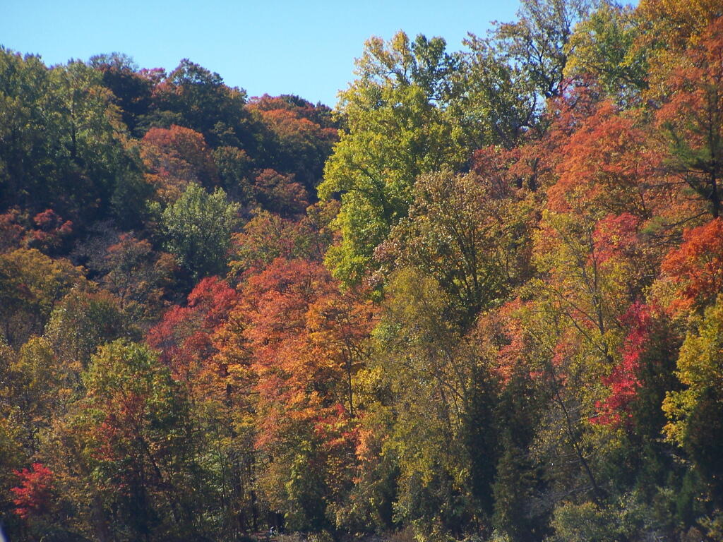
Thursday going up to the Adirondacks with the folks to do some leaf peeping and enjoying the fall foliage. Probably go up to Speculator and then down back around through Piseco-Powley Road or NY 10. Have a picnic lunch. It will be a nice day with the family, should be a good sunny day as I can’t do Thursday and Friday looks to be a bit more cloudy. That said the weekend currently looks great.
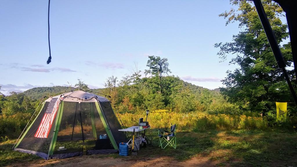
A picture perfect weekend on tap. Saturday, mostly sunny, with a high near 71. Maximum dew point of 54 at 11am. Sunday, sunny, with a high near 73. Maximum dew point of 55 at 11am. Typical average high for the weekend is 68 degrees. I kind of would rather go camping during the Columbus Day Weekend, but this one looks so good too. Maybe I’ll do Rensselearville State Forest again. That way I can get out to the folks house relatively early, as they’re doing lasagana this weekend. Really looking forward to that.
Looking ahead, there are 7 weeks until Average Night Below Freezing when the sun will be setting at 4:36 pm with dusk at 5:05 pm (Standard Time). On that day in 2022, we had partly cloudy and temperatures between 49 and 36 degrees. Typically, the high temperature is 50 degrees. We hit a record high of 69 back in 1964.
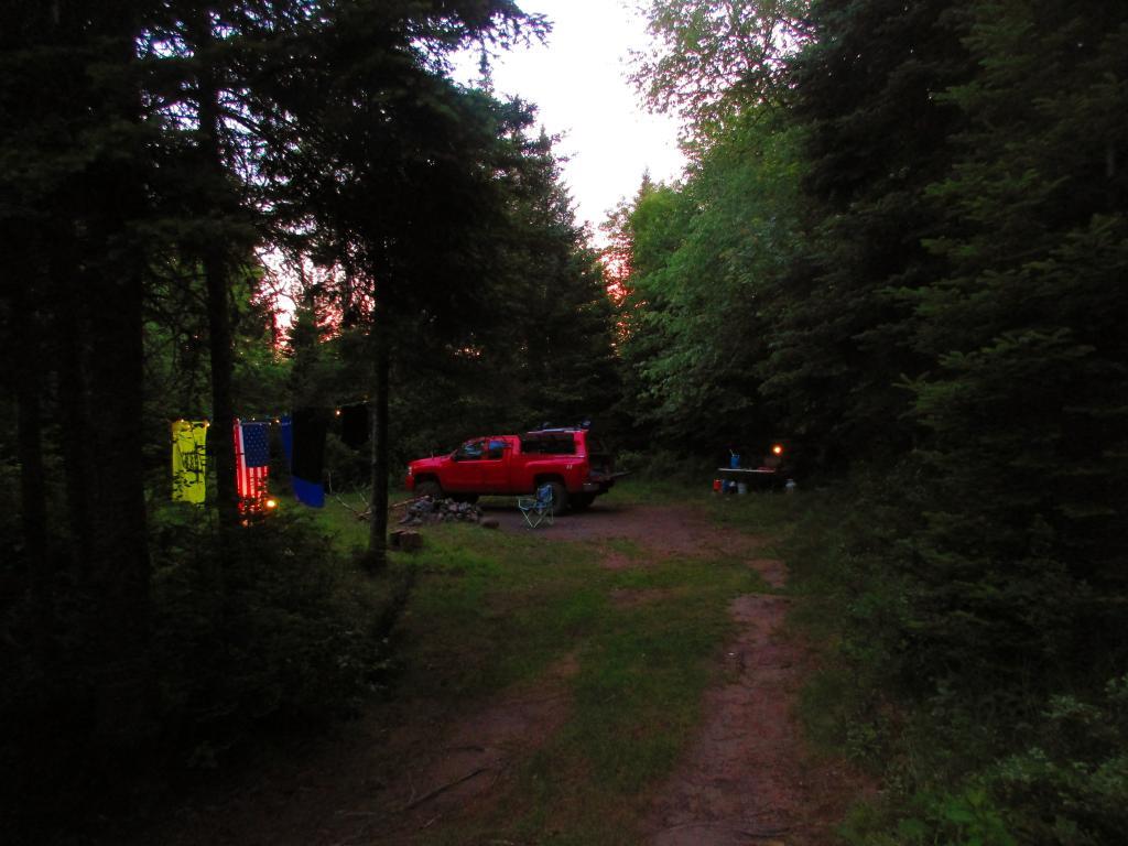
I’m hoping that next weekend ends the drought of trips out of town. It’s been tough with the weather and my search for a bicycle. But also there is a darker truth – I don’t enjoy camping as much as I once did, especially those shorter trips with the longer drives – now that I’m in my forties.
It’s just a lot of work to pack, drive out of town to set up camp for one or two nights. It’s gotten more and more expensive with inflation, namely food and fuel prices. But also I find it harder and harder to find new and novel places relatively close to home to explore. It’s boring to do the same trip over and over again, I get little out of it.
Vacation is in two weeks. I am really hopeful to take delivery of my mountain bike soon. I will be at the shop that was supposed to be assembling my bicycle on Saturday to get a status update and find alternative plans as necessary, such as ordering at a different shop. And I might get out next weekend for a long weekend, depending on the weather.
Still, I want to get up to the Potholers at least a few more times before it gets cold out in mid-to-late September, likewise I would like to swim at the Mine Kill Pool a few times before it closes in seven weeks after Labor Day Weekend. With two weekend allocated to summer vacation that last and first week of August, Labor Day Weekend will be here before you know it.
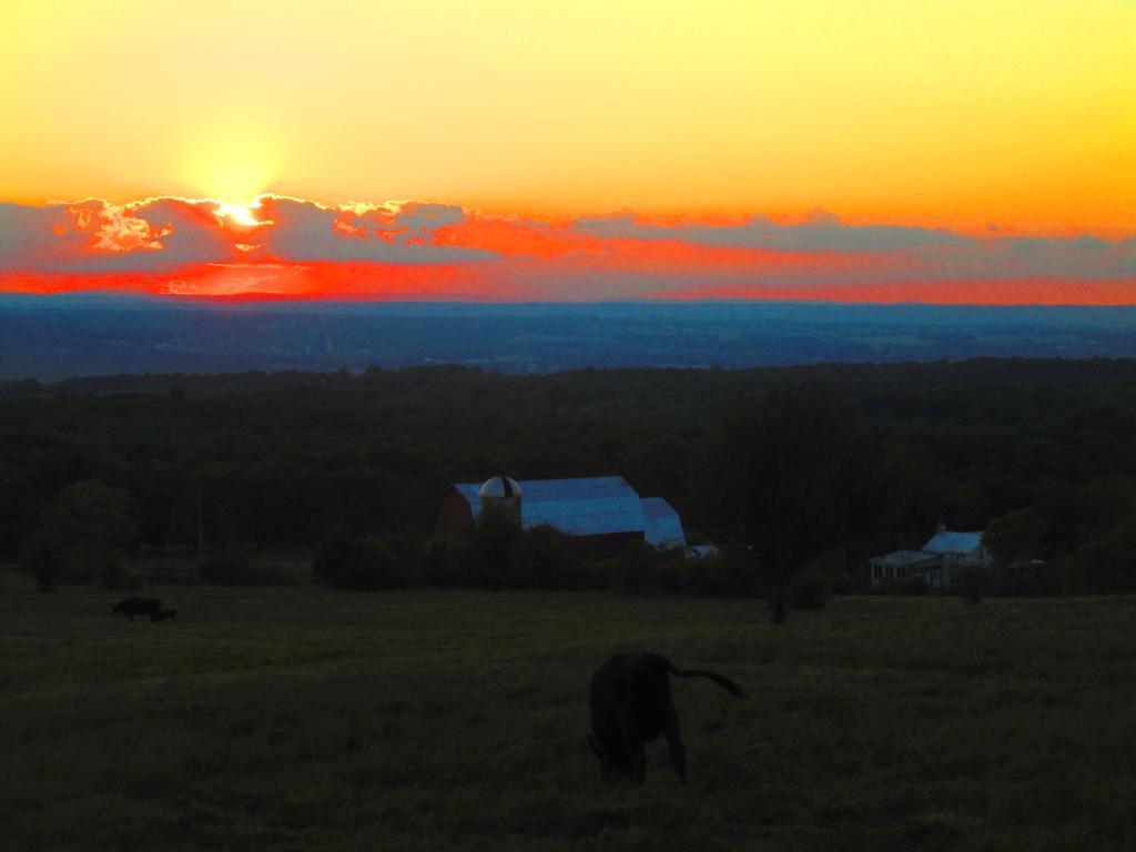
Labor Day Weekend I am still thinking about Speculator Tree Farm, namely Hardwood Hill if I can get and riding around the Tree Farm, and doing some paddling in Lake Pleasant. Later in September, I would like to get out to Charles Baker State Forest to ride the many forest roads there, and paddle Nine Mile Swamp in Hamilton which I haven’t done in years.
Later in the autumn, I am still thinking about a trip up to the Black River Valley, and maybe a trip to North-Central PA to ride in the Grand Canyon / Pine Creek Gorge trail which could be combined with a trip to the Finger Lakes National Forest or Allegheny National Forest. Maybe camp at Burnt-Rossman around Columbus Day Weekend. so I could ride those roads and do more of the Catskill Scenic Trail once the leafs start to pop.
And also maybe a trip to Cazenovia / Stoney Pond to camp there after it’s open without reservation in the autumn after the crowds are gone for the season. That could be a good one for November or early December if the snow holds off. Then a December trip to NY 8 – East Branch to close out the year.
Rensselearville State Forest remains a good option for autumn camping and or even winter camping once hunting season is done. But I’d rather go other places a little farther from home, though it sure is convenient and easy to get a campsite in the winter. Plus that road is plowed year round. The dirt roads for the most part would be good on the mountain bike, and I wouldn’t mind exploring the OSI parcel further, especially after a good cold snap when the ticks aren’t so bad.


 R Statistical Programming


 Python and Pandas


 There is a north-northwest breeze at 6 mph.
  . The dew point is 53 degrees. The skies will clear around 5 pm.
 so I decided to catch the early express bus downtown.
  Maybe the rain would have ended early and I could have ridden home but it hard to say and the rain would have taken off at that nice lubrication I had put on the bike chain yesterday.
  Most of the rest of the week will be good for bicycling to work
  plus I need to get to the store and get some garlic cloves
  which somehow fell off my grocery list when shopping yesterday.
 , with a high of 67 degrees at 3pm. Four degrees below normal, which is similar to a typical day around October 3rd. Maximum dew point of 56 at 2pm. Northwest wind 5 to 8 mph becoming southeast in the afternoon. Chance of precipitation is 40%. New precipitation amounts of less than a tenth of an inch possible. A year ago, we had mostly sunny skies in the morning, remaining cloudy in the afternoon. The high last year was 66 degrees. The record high of 91 was set in 2017.
 actually a pretty darn dreary day, but I’m going to try to get in 5,000 steps in before work by waking laps and the stairs at the Empire Plaza. I am up early and if I can’t walk outside, I will definitely try to get my steps inside.
  Tomorrow I figure I’ll ride to work, and the same on Wednesday. Thursday before tripping up to the Adirondacks with my parents, I’ll probably do my usual morning walk or maybe if it’s really nice and I’m up early do a quick ride out to Five Rivers
  around dawn.
 is at 12:48 pm with sun having an altitude of 46.6° from the due south horizon (-24.2° vs. 6/21). A six foot person will cast a 5.7 foot shadow today compared to 2.2 feet on the first day of summer. The golden hour
  starts at 6:12 pm with the sun in the west (263°).
  The sunset is in the west (270°) with the sun dropping below the horizon at 6:50 pm after setting for 2 minutes and 54 seconds with dusk around 7:16 pm, which is one minute and 47 seconds earlier than yesterday.
  At dusk you’ll see the Waxing Gibbous
  Moon in the southeast (141°) at an altitude of 17° from the horizon, 226,549 miles away.
  The best time to look at the stars is after 7:51 pm. At sunset, look for partly cloudy skies
  and temperatures around 65 degrees. The dew point will be 55 degrees. There will be a south-southeast breeze at 6 mph. Tomorrow will have 12 hours and 2 minutes of daytime, a decrease of 2 minutes and 52 seconds over today.
 Why did I not implement this sooner? Well I didn’t think it would save so much space, and I was afraid of transitioning over the old content, with all the files that it would involve. Turned out not to be as bad of a conversion as I thought, and the user experience doesn’t change a bit.
 It wasn’t that difficult to implement in the code, and I’m not running that many ads, so if you don’t scroll through a lot of pages or scroll down far, you might never see them. I don’t like advertising, but you don’t run ads, there isn’t a chance of getting any money at all. The way I look at it — an investment in the future of the blog, and it doesn’t require a lot of work on my part.
 , with a low of 49 degrees at 5am. Typical for tonight. Southeast wind around 6 mph becoming light and variable. In 2022, we had mostly clear skies in the evening, which became partly cloudy by the early hours of the morning. It got down to 53 degrees. The record low of 29 occurred back in 1947.
 to do some leaf peeping and enjoying the fall foliage. Probably go up to Speculator and then down back around through Piseco-Powley Road or NY 10. Have a picnic lunch.
  It will be a nice day with the family, should be a good sunny day
  as I can’t do Thursday and Friday looks to be a bit more cloudy.
  That said the weekend currently looks great.
 That way I can get out to the folks house relatively early, as they’re doing lasagana this weekend. Really looking forward to that.
 when the sun will be setting at 4:36 pm with dusk at 5:05 pm (Standard Time). On that day in 2022, we had partly cloudy and temperatures between 49 and 36 degrees. Typically, the high temperature is 50 degrees. We hit a record high of 69 back in 1964.