Search Results for: edick road

Good Evening – August 15, 2021

Good evening! Sitting on the Kane Firetower waiting for the sun to set πŸ—Ό

Partly clear and 69 degrees at the Kane Mountain Firetower. Light breeze. The dew point is 51 degrees. A very clear evening πŸŒƒ for sure, good for watching the sunset. With the low dew point I can easily see the other side of the Mohawk Valley including some of the silos on the Schoharie side. Also the wind turbines on the ridge outside of the Adirondack Park.

It’s been a nice weekend up north, ☺ with way too many beer boiled clams, sausage and sweet corn πŸ¦ͺ🍻🌽 and swimming 🏊🏻‍♂️ holes and about 25 miles of hiking – well over 15 miles was today alone. Camped at the House Pond Campsite 2 again. Today I hiked from Seeley Road in Knapville to Dexter Lake and then to Spectacle Lake and then to Waters Mill Pond. Then about two hours in the evening cooling off in the Potholers, followed by a sunset hike up Kane Mountain. Now to drive home by 10 pm.

Yesterday, I hiked back to House Pond which had a lot of blow down over parts of the trail. πŸŽ‹ There was a bad thunderstorm β›ˆ in July that I remember seeing on the news πŸ“° that caused some big trees to come down, but at least it didn’t wash out the road much or if it did Stratford had already fixed it. Looks like they had to saw and remove multiple trees off Piseco-Powley Road that had came down it and I could hear them cutting downed trees at the hunting camp down the road and I saw them leaving with several pickup trucks full of wood.

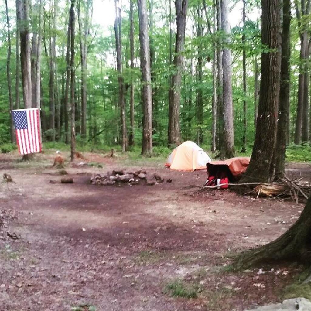
Also yesterday I hiked along the Edick Road Snowmobile Trail and then back to Edick Road Campsite #1 out along the ledge overlooking the East Canada Creek, spotting a photographing a doe up close. 🦌 I climbed down the gorge wall and watched the various birds 🐦 in the grass lands along that grassy part of the river. Then more clams, corn and sausage. And back to Potholers.

Friday was even more lazy — it was fairly hot. Many hours reading and learning more about Python, 🐍 and then I hiked to Potholers. 🏊‍♀️ Then after I got back to camp, I swam at the swimming hole across the road from House Pond Campsite 2 until dusk, listening to a podcast, started a fire πŸ”₯ had more clams, πŸ•Ή laid back in hammock until it started to pour 🌧 and then hung out under the tarp as it rained some more listening to podcasts until 11 PM.

Thursday, was a rather late start because it was so humid and I was on vacation and was lazy. I screwed up and didn’t get my turn signal on time for Sandell Farm’s to get sweet corn, and ended up going to Rogers Orchard to get sweet corn and blueberries. 🍎 Then I ended up running to Wally World and forgetting the main reason I wanted to go there — to get coffee. β˜• I like the large coffee containers they have there not just because they are inexpensive on a per pound basis, they make great containers for making ice in for camping. Or “donating” to the state to put toilet paper in the outhouses, to keep the racoons from shredding it. 🚽 I was hoping to check out Willie Marsh 🐸 but I got on the wrong road, so I didn’t go by there. I finally got camp around 12:30, set things up, made my first batch of clams, πŸ•Ή and they were good. Swam in the swimming hole across the way from House Pond Campsite, 🏊‍♀️ which might not be the potholers, but it’s right next door. Sat back in the hammock for a while listening to some music 🎼 and the news πŸ“», then had a fire. πŸ”₯ The wood sure was wet that first night, and it was a bit smokey until I got it going well.
Camping Areas in Southern Adirondacks

Camping Areas in Southern Adirondacks β›Ί

East Branch of Sacanadaga River, NY 8 – Roughly 10 campsites along NY 8. These are easily accessed throughout the year, as the road is plowed except when the snow banks are high during the winter. East Branch is not good for fishing due to wide variance in water levels, however there are some nice pools in sections of river for summer swimming. Lots of road noise. Some of the sites have cell service. Nearby locations include Cod Pond, East Branch Trail and Kibby Pond Trail.

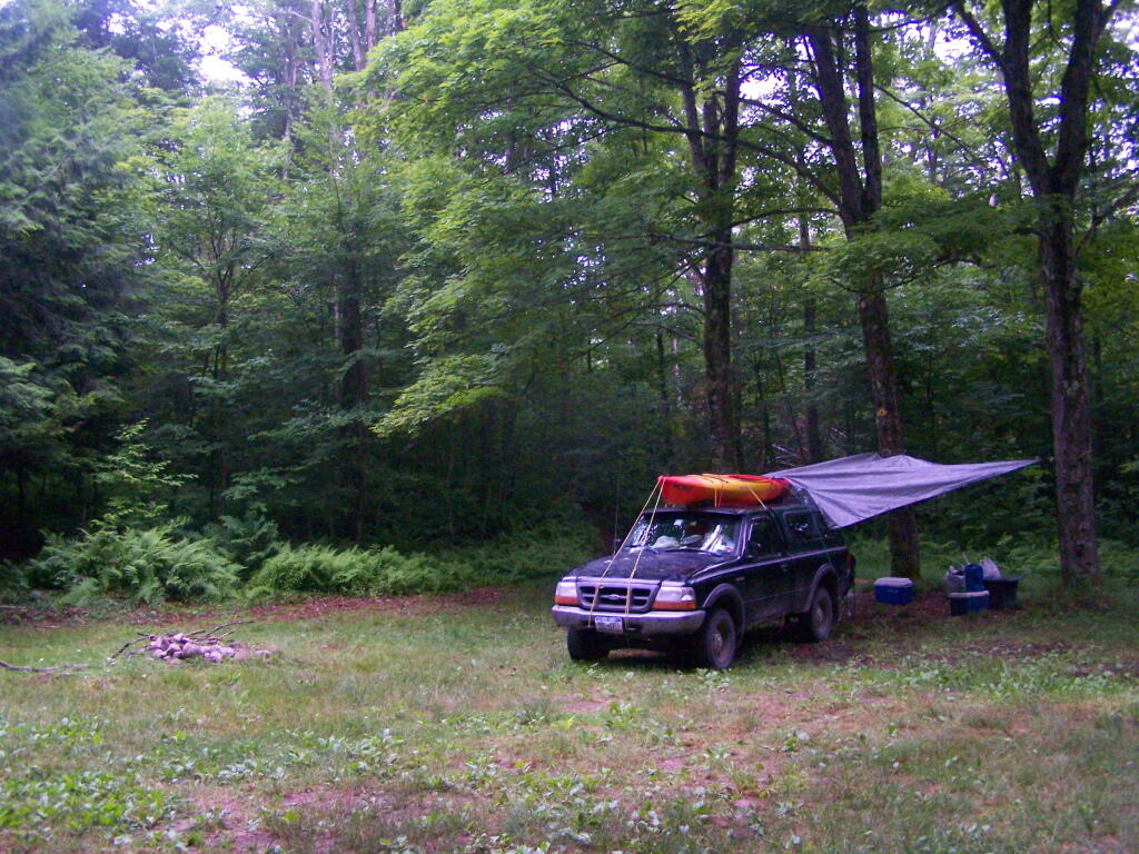
Edick Road – There are a handful of very hidden campsites off of Edick Road. This road may be closed to vehicles due to wash outs autumn 2019, but worth a walk to explore this area.

Fawn Lake – A 1/2 mile hike back to a scenic lake ringed by primitive campsites outside of Lake Pleasant. Two miles beyond it is the scenic Willis Vly, which doesn’t have developed campsites but it’s remote wilderness where you might see a Moose or other wildlife.

Garnet LakeTent sites, some with drive-up access along the lake. No cell service, much of the upper road here is not maintained in the winter. Popular in the summer, no cell service.

Good Luck Lake – Scenic lake off of the West Branch Sacanadaga River that is ringed with tent sites that can be walked in from the Good Luck Lake parking area area or paddled in.

Hope Falls Road – Two or three campsites along the end of Hope Falls Road, some are drive-in only tent sites. Near the Tenant Creek Falls Trail. No cell service. Open June to autumn snowfall.

Harrisburg Road – There is a set of very rustic designated campsites along the rough Harrisburg Road past Harrisburg Lake. Somewhat near Crane Mountain, a couple mile hike to and Wilcox Lake. No cell service.

Lester Flow and Cheney Pond – Scenic lake that is popular for paddling. The 1/2 mile road down from Boreas Road as of June 2020 is closed due to washouts. Tent sites exist along the lake, along with one drive-to site on the road down there.

Mason Lake – Small lake located about 10 miles north of Speculator and 5 miles south of Lewey Lake that has several tent and drive-in campsites along it’s shore. Good to fair cell service here. Nice to hear loons, one of the best bass ponds in the area.

North Lake Reservoir – There are roughly 15 campsites on the east shore of North Lake Reservoir. Popular place in the summer, regularly staffed by conservation students. Noise from motorboats. No cell service. Nice if you want to camp right on water, hear loons at night..

Northwood Club Road – In Minerva, this road crosses the Boreas River and has several roadside campsites, and passes by Huntley Pond, the NL Tahawus Railroad (which can be hiked to the Boreas River at Hudson River), and the Blue Ledges on the Hudson tailhead.

Perkins Clearing – Conservation easement lands. Good to fair cell service here. Great place for hunting and wildlife observation as it’s mixed timber country. Near Mason Lake, Speculator, Pillsbury Mountain and Cedar Lakes.

Piseco-Powley Road – A dozen campsites along a 13 mile road with short hikes including Big Alderbed, House Pond, Sand Lake and the popular Potholers/Brayhouse Brook waterfall for swimming. As of June 2020, road is closed in Stratford/Fulton County portion, road is open north of Potholers/Brayhouse Brook (access via Piseco). Very limited cell service here.

Pumpkin Hollow Road – Three campsites above Willis Lake. Remote country except for the site on Willis Lake, no cell service. On the Willis – Wilcox Lake Trail. Very quiet area. Open June to autumn snowfall. No cell service here.

Rockwood State Forest – Three campsites along the end of Church Road which can be accessed by driving past the cemetery in the hamlet. Scenic lake, good fishing. Cell service available, but bring a trash bucket and gloves as litter can be a problem. Nice trails to stroll around in the old Rockwood Estate.

Stewart Landing – There are four campsites on a rough road that loops off of Stewart Landing Road. Popular area in the summer, Canada Lake is great for paddling and informal swimming. Also consider hiking back to Hilderbrandt Vly and Glassgow Lake from here. Moderate to poor cell service here.

Vanderwhacker Road -Five or six campsites exist along Vanderwhacker Road, which can be muddy in the spring and icy in late autumn. Additional designates campsites exist near where NY 28N crosses the Vanderwhacker River. Near the trail to the Vanderwhacker Firetower, No cell service.

White House, Wells – A grouping of 5 or 6 campsites at the end of White House in West River Road. Scenic area, old camp, with fields and a chimney. Campsites are kind of close together, not a wilderness experience. Near the North Country Placid Trail, lots of blueberries in mid-summer. No cell service. Open June to autumn snowfall.

Woodhull Lake Reservoir – Off of NY 28 in McKeevers, about 10 miles south of Old Forge. Not only is this beautiful reservoir to paddle, there are some campsites along the shore, with drive-to campsites along Wolf Lake Landing Road which leads to it. Part of Wolf Lake Landing Road is erroded, but other parts are fresh stone-dust. It’s remote wilderness but there good cell service in mcuh of the area.

26 Nights of Camping

We are now 75 days out from the first day of summer, which began on June 21. Of those 75 summer nights, I spent 26 nights and 34 days total out camping on state and national forests. Nights that are starred it rained at least part of the day or night. It’s been a very wet and cold summer, but at least I got to see a lot of good country.

 Camp

Trip 1: Burnt-Rossman Hills State Forest. Hiked Vromans Nose, got fresh strawberries at Borhinger’s Farm Stand, swam at Mine Kill State Park.

1) Saturday, June 24 – Upper Betty Brook Campsite, Burnt-Rossman Hills State Forest, Summit, NY

 Very Wet Saturday

Trip 2: Independence Day Weekend at Moose River Plains. Hiked back to Cascade Falls in Eagle Bay, paddled on the Cedar River Flow.

2) Friday, June 30 – Campsite 67, Moose River Plains, Inlet, NY *
3) Saturday, July 1 – Campsite 67, Moose River Plains, Inlet, NY *
4) Sunday, July 2 – Campsite 67, Moose River Plains, Inlet, NY
5) Monday, July 3 – Campsite 67, Moose River Plains, Inlet, NY

 Camp

Trip 3: West River Road outside of Wells near the former β€œWhite House” camp. Hiked around β€œWhite House”, paddled the Main Branch of the Sacanadaga River on Auger Flats, above Auger Falls, swam at Wells Beach

6) Friday, July 14 – West River Road, Wells, NY
7) Saturday, July 15 – West River Road, Wells, NY

Campsite

Trip 4: Finger Lakes, visited several parks in the Finger Lakes, Montezuma Wildlife Refuge, Paddled and fished Lamoka Lake, climbed Sugar Hill Firetower.

8) Friday, July 21 – Cherry Ridge Camping Area, Charles Baker State Forest, Brookfield, NY
9) Saturday, July 22 – Mathews Road, Finger Lakes National Forest, Hector, NY *
10) Sunday, July 23 – Mathews Road, Finger Lakes National Forest, Hector, NY *
11) Monday, July 24 – Chicken Coop Road, Finger Lakes National Forest, Hector, NY *
12) Tuesday, July 25 – Chicken Coop Road, Finger Lakes National Forest, Hector, NY *
13) Wednesday, July 26 – Chicken Coop Road, Finger Lakes National Forest, Hector, NY *
14) Thursday, July 27 – Chicken Coop Road, Finger Lakes National Forest, Hector, NY *
15) Friday, July 28 – Chicken Coop Road, Finger Lakes National Forest, Hector, NY *
16) Saturday, July 29 – Chicken Coop Road, Finger Lakes National Forest, Hector, NY

 Camp

Trip 5: Burnt-Rossman Hills State Forest. Fished the Schoharie Creek, swam at Mine Kill State Park.

17) Saturday, August 5 – West Kill Road, Burnt-Rossman Hill State Forest, Blenheim, NY

Camp is cleaned up, next stop Erie

Trip 6: Partial Eclipse Viewing trip at Presque Isle State Park in Erie, Penna. Camped at Allegheny National Forest, visited Taughannock Viaduct, French Azulm Historic Site, Colton Point State Park, then went back to Watkins Glen in the Finger Lakes.

18) Saturday, August 19 – Asaph Run Camping Area, Wellsboro, PA *
19) Sunday, August 20 – Forest Road 160, Allegheny National Forest, PA *
20) Monday, August 21 – Forest Road 160, Allegheny National Forest, PA *
21) Tuesday, August 22 – Chicken Coop Road, Finger Lakes National Forest, Hector, NY *

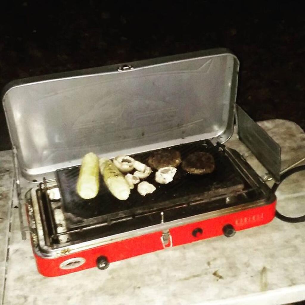
Dinner last night

Trip 7: Weekend trip to Piseco-Powley Road. Hiked back to Spectacle Lake, Good Luck Lake, and Good Luck Cliffs from NY 10. Drove the length of Piseco-Powley Road. Hiked from Piseco-Powley Road along Edick Road Extension, explored the well hidden Edick Road Campsite 1.

22) Friday, August 25 – Piseco-Powley Road, Stratford, NY
23) Saturday, August 26 – Piseco-Powley Road, Stratford, NY

Trip 8: Labor Day Weekend at Branch Pond Road in Kelly Stand, VT. Hiked back to Bourne Pond from Branch Pond. Poured on September 3rd.

24) Friday, September 1 – Branch Pond Road, Kelly Stand, VT
25) Saturday, September 2 – Branch Pond Road, Kelly Stand, VT
26) Sunday, September 3 – Branch Pond Road, Kelly Stand, VT *

August 28, 2017 9 AM Update

Good morning! Suddenly, with playing of the Hollies’ Bus Stop Monday’s come back around again. Next Monday is Labor Day. Catching the local bus downtown. Mostly sunny and 54 degrees in Delmar. Calm wind. The dew point is 52 degrees. Feels a bit like an autumn morning, but gosh didn’t that weekend went too quickly. 

Right now, there is a lot of high clouds. Later, mostly sunny, with a high of 73 degrees at 3pm. Five degrees below normal. It seems like autumn comes too soon. Maximum dew point of 53 at 9am. Calm wind becoming southeast 5 to 7 mph in the afternoon. A year ago, we had mostly sunny skies. It was humid. The high last year was 88 degrees. The record high of 98 was set in 1948. 

The sun will set at 7:35 pm with dusk around 8:04 pm, which is one minute and 40 seconds earlier than yesterday. At sunset, look for partly clear conditions and 67 degrees. The dew point will be 50 degrees. There will be a southeast breeze at 5 mph. Today will have 13 hours and 18 minutes of daytime, an increase of 2 minutes and 44 seconds over yesterday.

Tonight will have patchy fog after 4am. Otherwise, partly cloudy, with a low of 51 degrees at 5am. Seven degrees below normal. Maximum dew point of 50 at 6pm. Southeast wind around 5 mph becoming calm after midnight. In 2016, we had mostly clear skies with more clouds in the early hours of the next day. It was humid. It got down to 63 degrees. The record low of 34 occurred back in 1982.

I have no idea where the weekend went so quickly. It was a cool weekend but it went by in a flash. Next weekend is Labor Day Weekend. I’m not sure what my plans are for the weekend but if it looks decent I may head up to Moose River Plains. I will decide later in the week based on the weather. 

This past weekend I was up Piseco-Powley Road. I didn’t bring my kayak and was too cold for swimming, so I went hiking. Saturday I hiked back to Spectacle Lake and Good Luck Cliffs. The later was more crowded than I would have liked. Sunday I hiked along the Edick Road Extension Trail from Piseco-Powley Road to Edick Road Campsite 1. It was a nice quiet weekend after the fast paced and crazy five days driving out to Erie, Penna for the eclipse. 

They finally are repaving NY 443 out to Clarksville whose rough condition had become the butt of jokes. It’s not perfect and being just a quick repavement it’s probably going to deteriorate quickly but it’s better than nothing. 

On this day in 1968, where the riots during the 1968 Democratic National Convention. Wild times back then. Despite having a president who says a lot of controversial things and a debate about honoring our country’s history, we still live in a great time of peace and prosperity. It does suck for those people who are getting soaked from the hurricane. At least it’s Texas and with the rain the country boys will be able to have great bonfires with all of the storm debris. That’s great because a lot of Texas in recent months has been under burn bans. 

As previously noted, next Monday is Labor Day when the sun will be setting at 7:23 pm with dusk at 7:52 pm. On that day in 2016, we had mostly sunny skies and temperatures between 80 and 54 degrees. Typically, the high temperature is 77 degrees. We hit a record high of 97 back in 1929.

What is a Primitive Tent Site?

The Adirondack Park State Land Master Plan describes primative tent sites as follows:

25. Primitive Tent Site–a designated tent site of an undeveloped character providing space for not more than three tents, which may have an associated pit privy and fire ring, designed to accommodate a maximum of eight people on a temporary or transient basis, and located so as to accommodate the need for shelter in a manner least intrusive on the surrounding environment. (page)

The Adirondack State Land Master Plan uses the definition of a “primitive tent site” in a wilderness area to explain campsites in wild forest.

1. All structures and improvements permitted under the guidelines covering wilderness areas will be allowed in wild forest areas. […]

Here is the wilderness “primitive tent site” regulations per the APSLMP:

1. The structures and improvements listed below will be considered as conforming to wilderness standards and their maintenance,rehabilitation and construction permitted:

— primitive tent sites below 3,500feet in elevation that are out of sight andsound and generally one-quarter mile from any other primitive tent site or lean-to:

(i) where physical and biological conditions are favorable, individual unit management plans may permit th establishment, on a site-specific basis, of primitive tent sites between 3,500 and 4,000feet in elevation, and,

(ii) where severe terrain constraints prevent the attainment of the guideline for a separation distance of generally one-quarter mile between primitive tent sites, individual unit management plans may provide, on a site-specific basis, for lesser separation distances, provided such sites remain out of sight and sound from each other, be consistent with the carrying capacity of the affected area and are generally not less than500 feet from any other primitive tent site;

Also, in wild forest, so-called groups of primitive campsites are allowed:

Small groupings of primitive tent sites designed to accommodate a maximum of 20people per grouping under group camping conditions may be provided at carefully selected locations in wild forest areas, even though each individual site may be within sight or sound and less than approximately one-quarter mile from any other site within such grouping, subject to the following criteria:

— such groupings will only be established or maintained on a site specific basis in conformity with a duly adopted unit management plan for the wild forest area in question;

— such groupings will be widely dispersed (generally a mile apart) and located in a manner that will blend with the surrounding environment and have a minimum impact on the wild forestcharacter and natural resource quality of thearea;

— all new, reconstructed or relocated tent sites in such groupings will beset back a minimum of 100 feet from themean high water mark of lakes, ponds,rivers and major streams and will be located so as to be reasonably screened from the water body to avoid intruding on the natural character of the shoreline and the public enjoyment and use thereof.

Roadside Camping at Site 5

Despite threats from PROTECT! and Residents Committee to Protect the Adirondacks, the Adirondack State Land Master Plan has never been litigated in court, so there is no legal interpretations of the ASLMP outside what has been decided by the DEC and Adirondack Park Agency.

Many different wild forests have taken that definition to different meanings…

Camping at Campsite 57

Generally Open to All Campers…

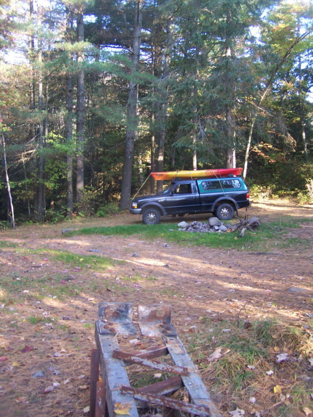
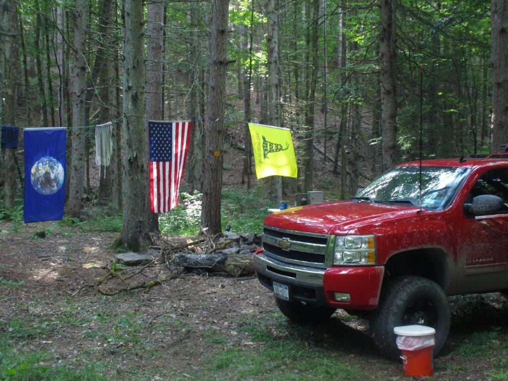
At Ferris Lake Wild Forest, particularly on Piseco-Powley Road, it has been taken to mean roadside campsites, where vehicles can access, and people are free to bring in a pickup camper or recreational vehicle if they so choose. Indeed, the draft UMP and the Adirondack State Land Master Plan both mention roadside camping. The Ferris Lake UMP goes as far as to describe various sites, and how big of a vehicle can fit in individual campsites. The sites have fire rings and outhouses, which is consistent with that definition. A minority of sites also have picnic tables.

This is common in most wild forests with roadside campsites, including Black River Wild Forest (North Lake, Woodhull Lake), Debar Mountain (Mountain Pond, Jones Pond, etc.), Ferris Lake Wild Forest (Powley Road, G-Lake Road, Edick Road, Mountain Road, etc.), Moose River Plains, and Vanderwhacker Wild Forest (Moose Club Way, Northwoods Club Road, NY 28N, Cheney Pond, Blue Ridge Road), Wilcox Lake Wild Forest (NY 8, Pumpkin Hollow, Hope Falls, etc.).

Tent Site Use Only…

On the polar opposite would be Lake George Wild Forest, particularly along Darcy Clearing Road and Hogstown Road, where all of the campsites have been relocated and blocked off to prevent any vehicle use or non-tent use. The argument here is that primitive tent site must be taken literally in the dictionary sense, and that any use of vehicles, such as truck campers or recreational vehicles are inconsistent with the Adirondack Park State Land Master Plan.

Similar policies on restricting use of motor vehicles in roadside campsites exist in a minority of other wild forest campsites (like the lower portion of Harrietstown Road and Garnet Lake in Wilcox Lake Wild Forest), however the majority of forests allow some roadside campsites, with vehicle access.

Tent Camping at Foxx Lair

History Looms Large.

But let’s be honest, most wild forests allow unrestricted roadside campsites for a variety of vehicles, including pickup campers and recreational facilities. This has been going on for over 100 years, basically as long as their has been motor vehicles in the Adirondacks, and certainly as long as recreational vehicles and truck campers have existed. Most public lands, outside of NY State also do not have much in restrictions on roadside camping.

It’s tough to take away from people what they are already granted, and enjoy, especially if the rational is limited. People enjoy roadside camping in a variety of vehicles, and in many locations. For many people, they have been coming to the backcountry for decades, parking their truck or RV, and enjoying all of the solitude and pleasure that roadside camping.

Adirondack Wild Forests I Camped in 2011

This past year, I got up to nine different Adirondack Wild Forests as part of my explorations of the Adirondack Park. Did a lot of hiking, kayaking, and camping. The map below shows the Adirondack Park’s various units.

Change in Price Since March 2020

I camped in Aldrich Pond (1 night), Black River (4), Debar Mountain (3), Ferris Lake (5), Independence River (2), Moose River Plains (3), Taylor Pond (2), Vandwhacker Mountain (1), and Wilcox Lake (4). My preference for certain Wild Forests over others, is not just based on scenic beauty or activities to do, as much as closeness to Albany and compatability with weekend plans.

I saw quite a bit of Adirondack Park for sure.

Aldrich Pond (1 night)

Camped one night on Streeter Lake Road in Aldrich Pond Wild Forest near the hamlet of Oswagatchie. Paddled part of Little River and Streeter Lake.

 Field

Campsite 3 on Streeter Lake Road

Black River (4 nights)

Camped two nights at Wolf Lake Landing Road. Paddled around Woodhull Lake, hiked over to Remsen Falls.

Adirondack Lakes

Roadside Camping at Site 5

Camped two nights at North Lake. Sat down by the lake, enjoyed the moonlight. Explored Atwell and part of South Lake.

Total Greenhouse Gas Equalivent, by Country

View of Lake from Campsite

Debar Mountain (3 nights)

I camped for two nights at Mountain Pond near Paul Smiths, NY, while visiting the Saint Regis Canoe Area.

Damp

Then coming back from North Country, I decided to spend a night at Jones Pond, which is between Rainbow Lake and Paul Smiths.

Ferris Lake (5 nights)

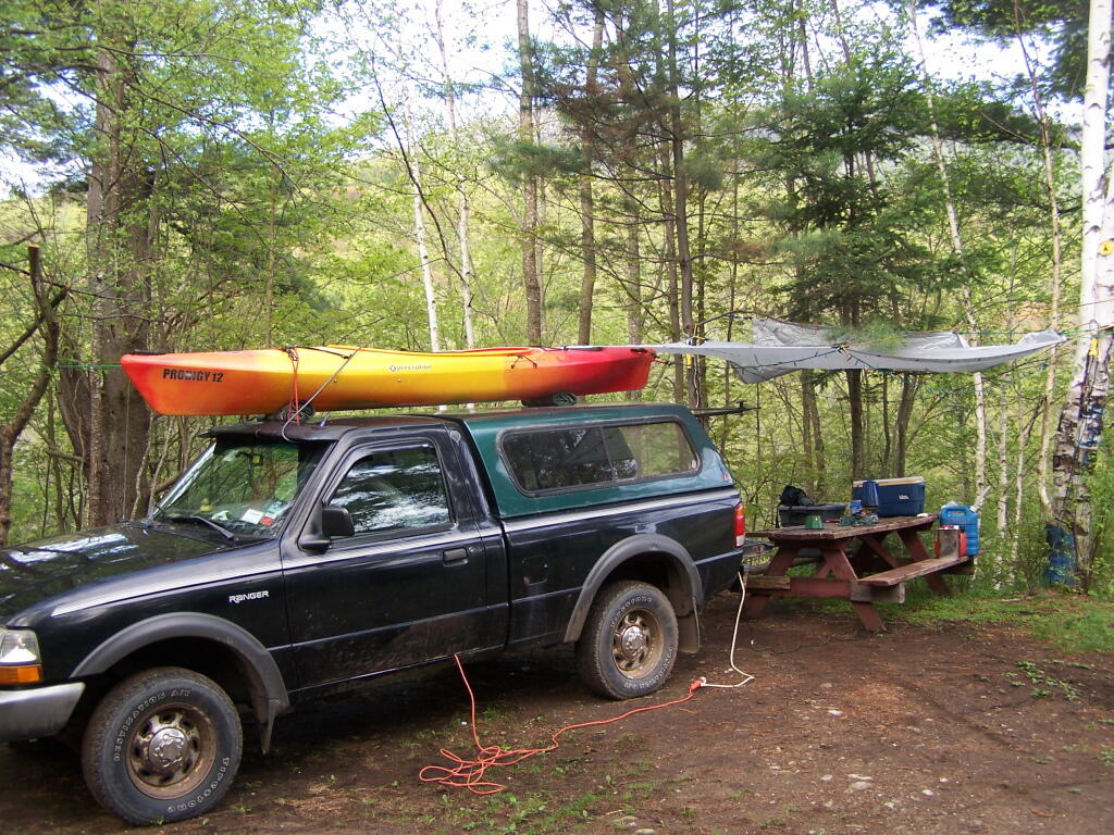
I did two weekend trips up to Ferris Lake Wild Forest. The first was during Memorial Day Weekend, which was pretty wet and rainy for most of the weekend. The second was during the mid-summer on a super oppressive, hot and humid day out. While I explored Edick Roadside Camping, and also Good Luck Lake, both times I roadside camped on Piseco-Powley Road, three nights at PR 9, one night at PR 4, and one night at 11.

Renters vs Population Density - NY Census Tracts

Strawberry Moon

 Cascade Lake

Gwen Wright (D) vs. Steven F. McLaughlin (R) Rensselaer County Executive (2021)

Independence River (2 nights)

Camped two nights at Independence River Wild Forest on Smith Road, at field Campsite 1. There are ten campsites on this road, including one with an outhouse. Several of them are located in old logging load pads, that are now mowed as fields for camping. Nothing particularly fancy here.

Rainy Morning

Moose River Plains (3 nights)

Planned to spend a week at Moose River Plains, brakes failed on third day up there. Still got three days of fall camping in along Cedar River – Limekiln Lake Road. Camped one night at Campsite 24, and two at Campsite 57 this year.

 Almost To Bus Stop

 Summer Evening

Greene County, NY - Change in Grasslands and Pasture, 2001 to 2021

Taylor Pond (2 nights)

Camped up at Union Falls for two nights in the fall, while hiking and exploring several locations in Clinton County and eastern portion of the North Country.

All Packed Up at Union Falls Campsite

Vandwhacker Mountain (1 nights)

Camped one night at Cheney Pond at the Vanderwhacker Wild Forest.

Abortion Providers Operating by State, 2017

Road Campsite at Cheney Pond

Wilcox Lake (4 nights)

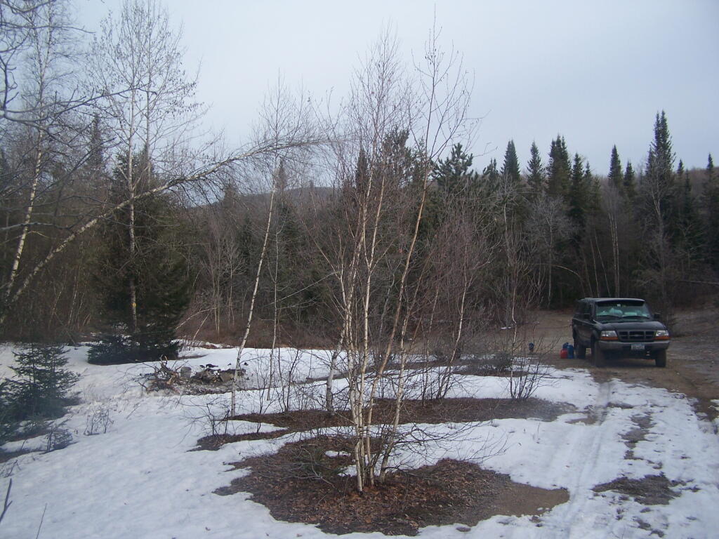
Camped three nights up off of NY 8 — one at an old Gravel Pit along the East Sacandaga River in April when the snow was still there, two nights at Fox Lair Campsite, and one night at Hope Falls Road, which is off of NY 30, near Northville.

Oil Exports

North-South Lake Campground

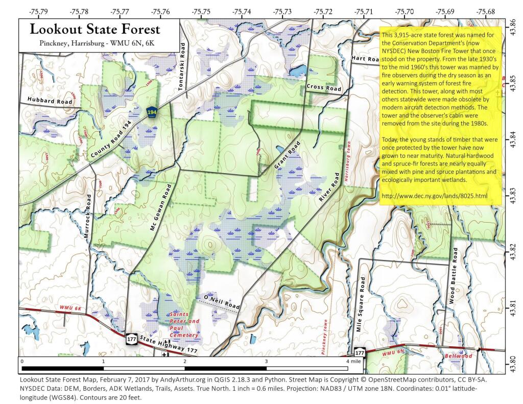
 Lookout State Forest

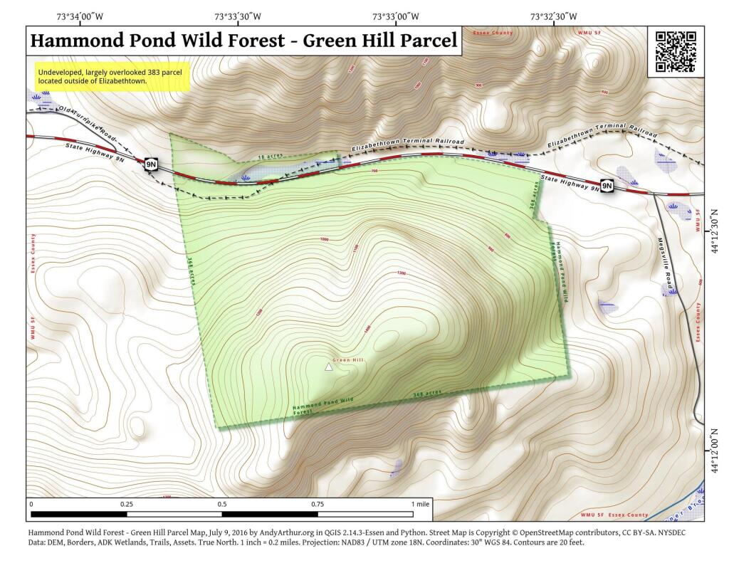
 Hammond Pond Wild Forest - Green Hill Parcel

Campsite I Stayed At

Camping Back at Fox Lair

Gulls on the breakwater