Search Results for: photo view along the lake

Kayaking Mason Lake, August 11

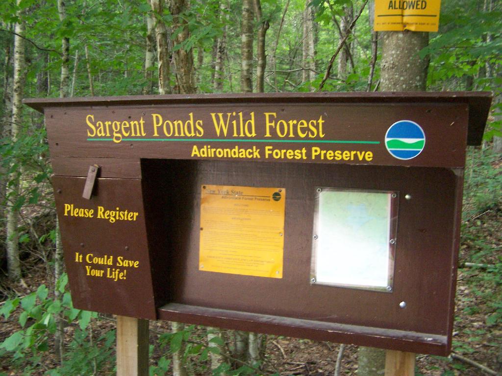
Mason Lake is located in the Adirondacks just off NY 30. It has primative camping, I camped their last night (August 10th), and also camped there on July 31.

NY 30

It’s a two hour drive from Albany, so it’s not as far north as Moose River Plains, and can be done on a Friday night. It’s fairy popular, but there is usually some of the 6 out of 12 non-lake side campsites are always avaliable, and it’s not like it’s ever crowded on the lake in a boat.

Pine Trees Reflect On Mason Lake

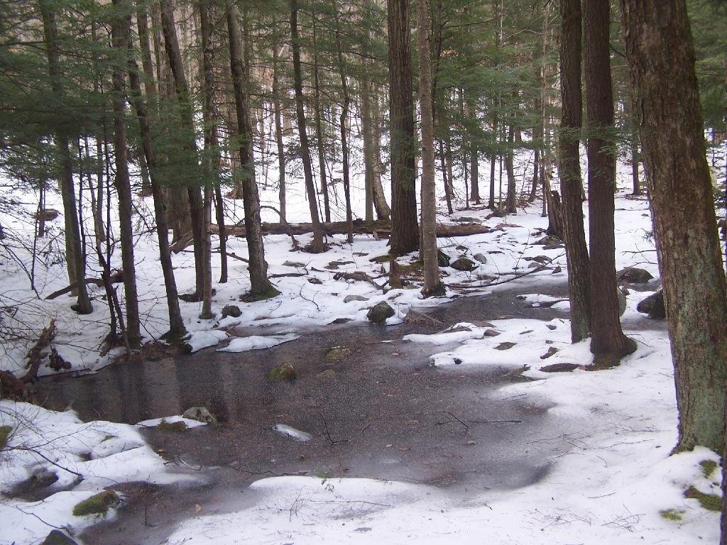
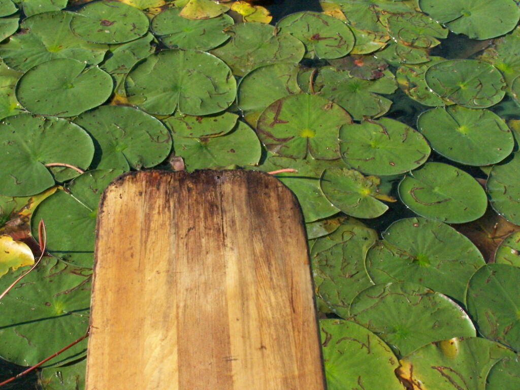
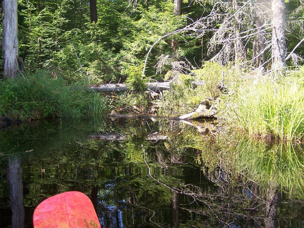
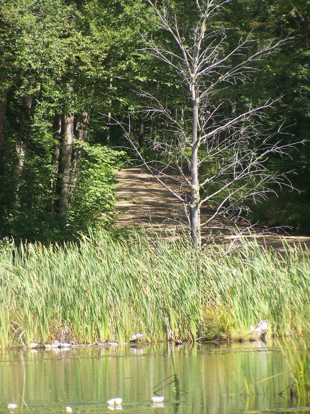
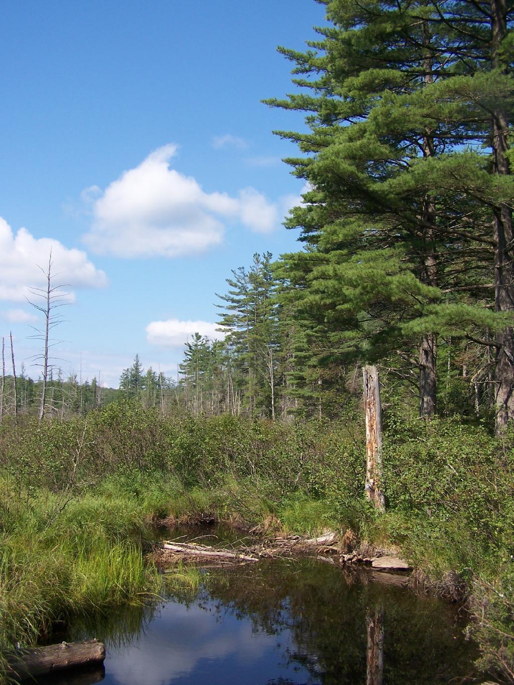
I paddled down to the southern end of the lake, with a stream exiting Mason Lake. This part of the Jessup River is unpassable by kayak due to many trees crossing on it.

Stream Exiting Mason Lake

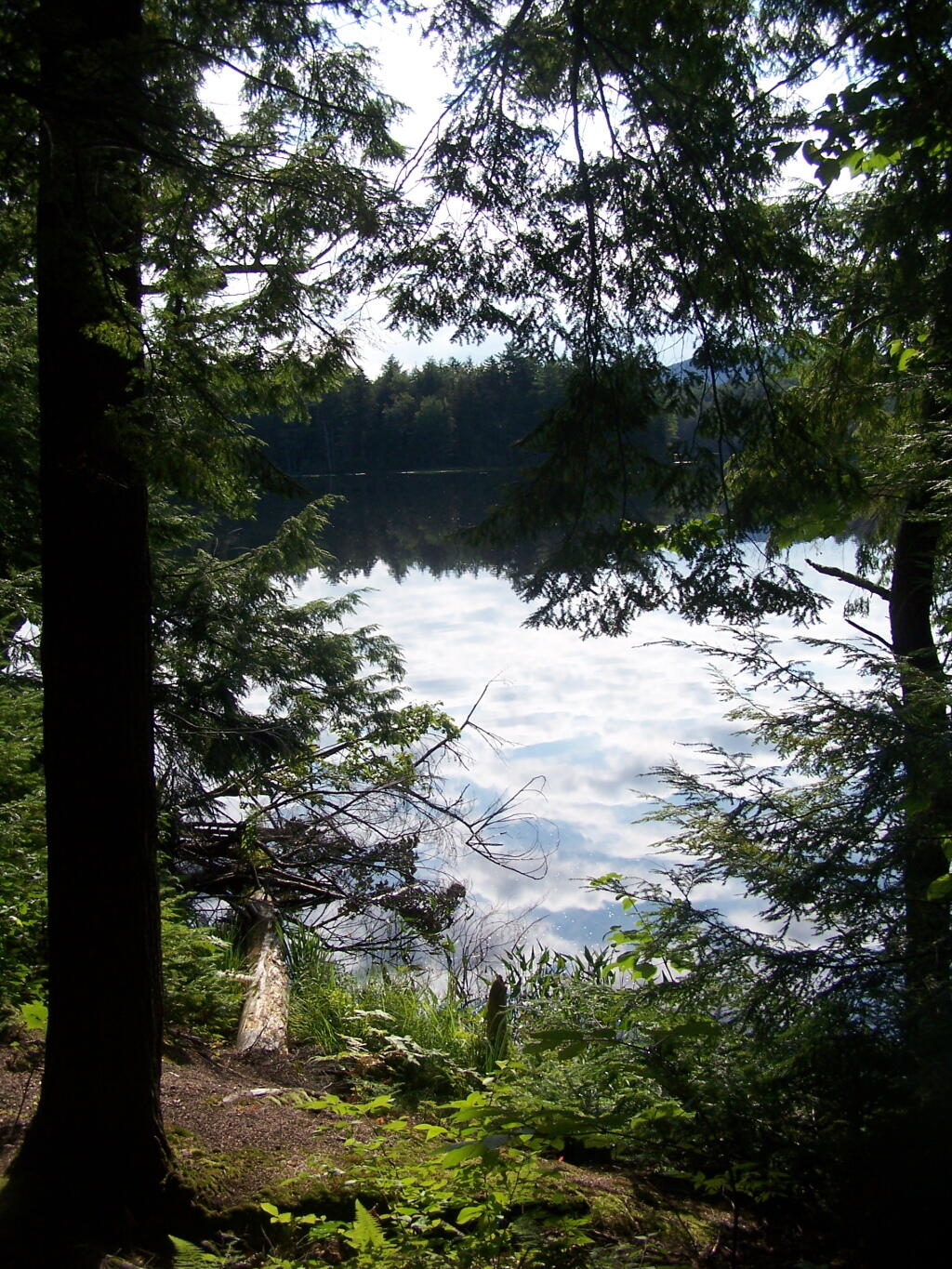
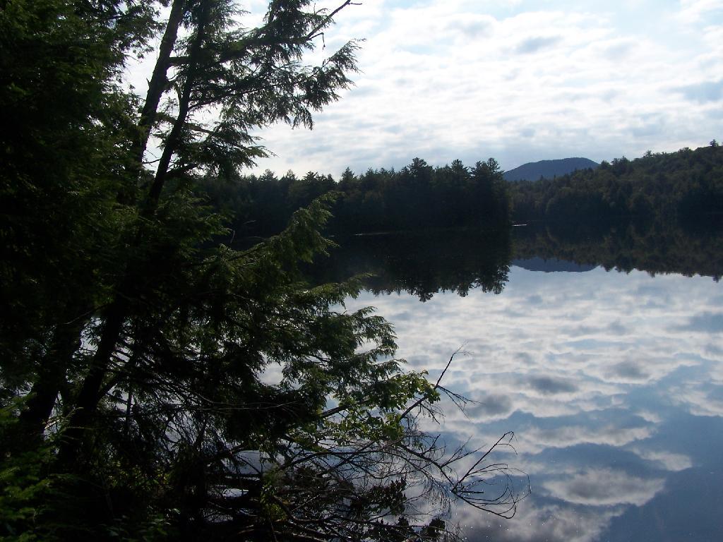
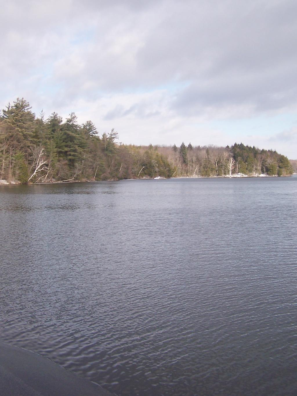
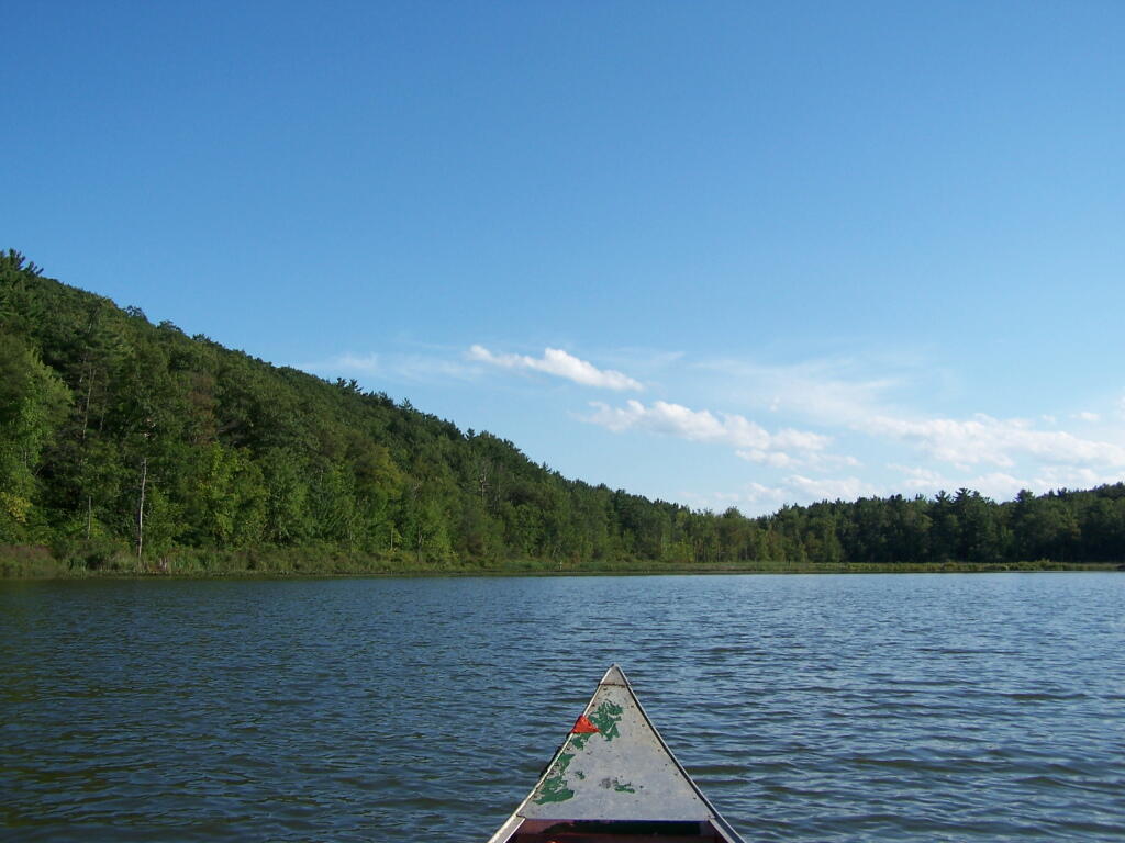
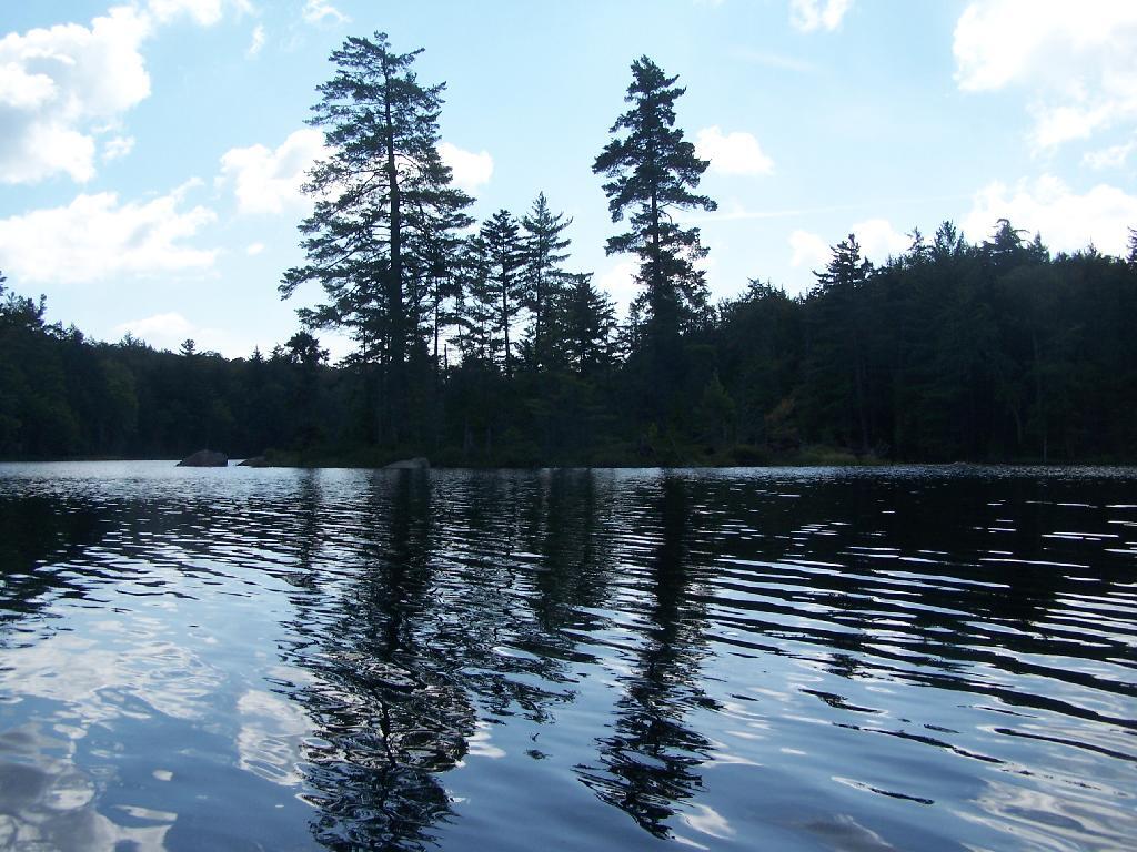
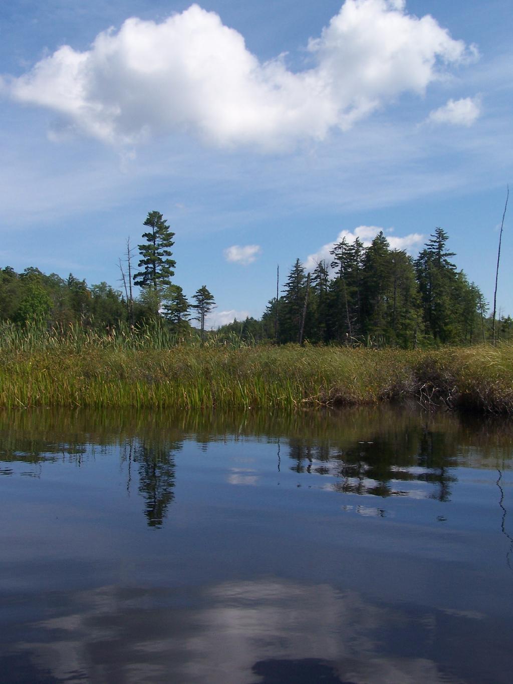
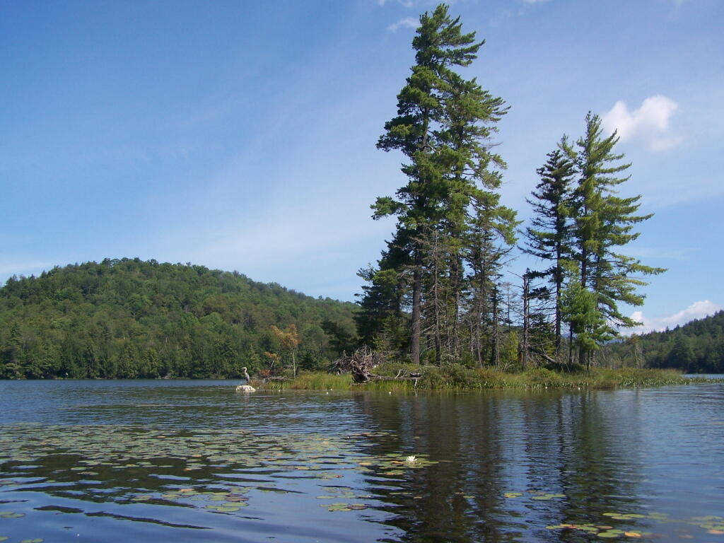
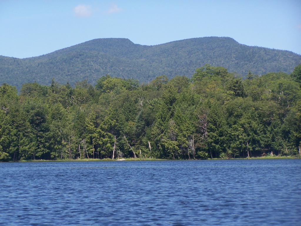
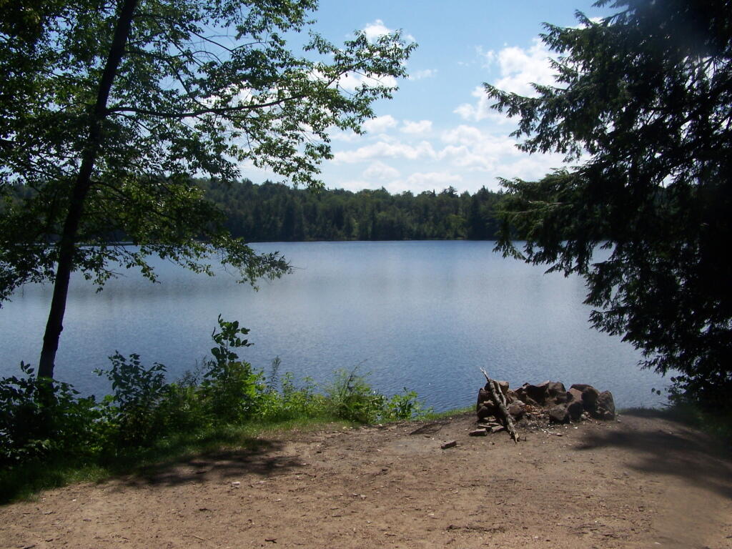
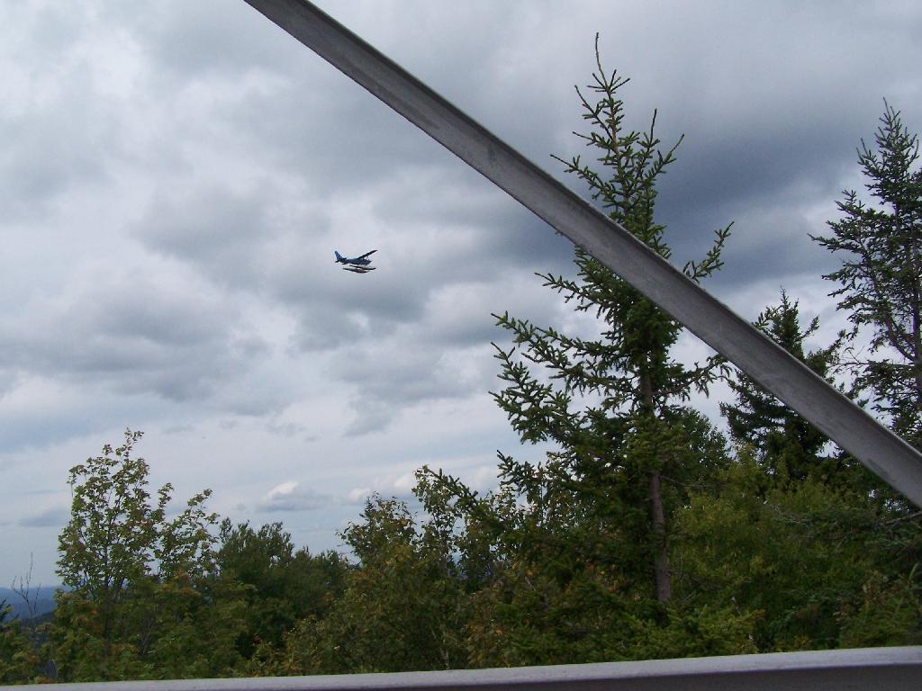
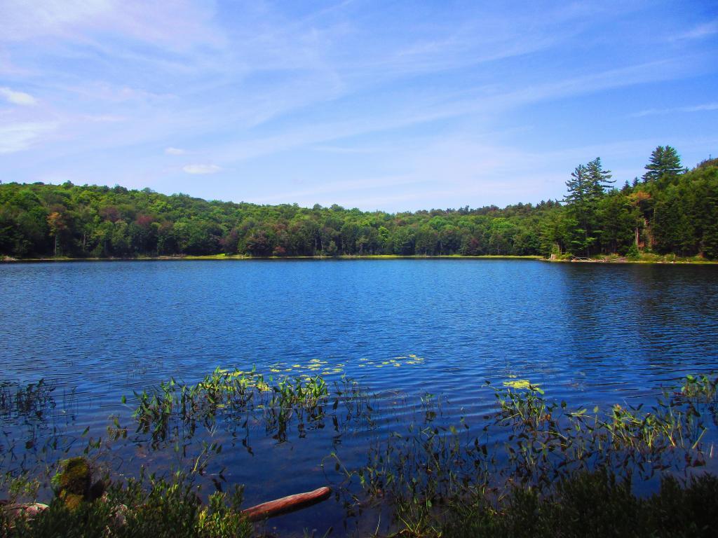
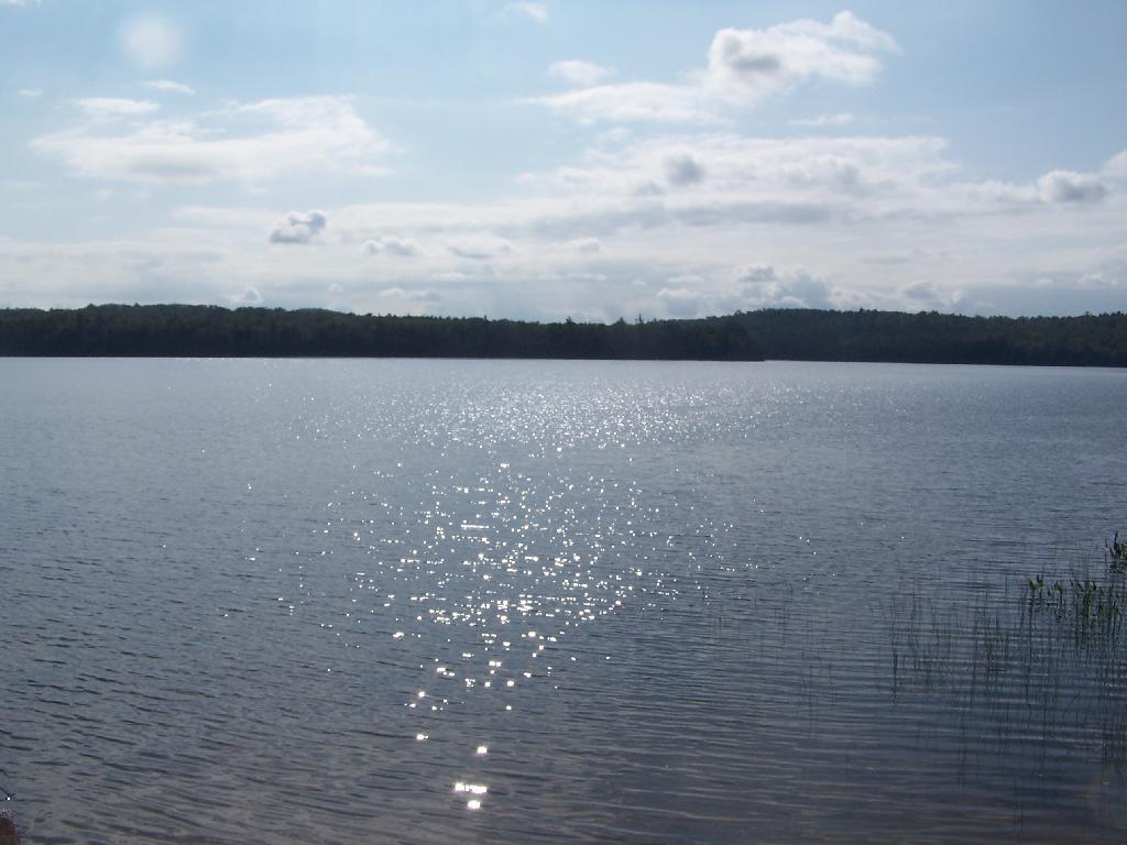
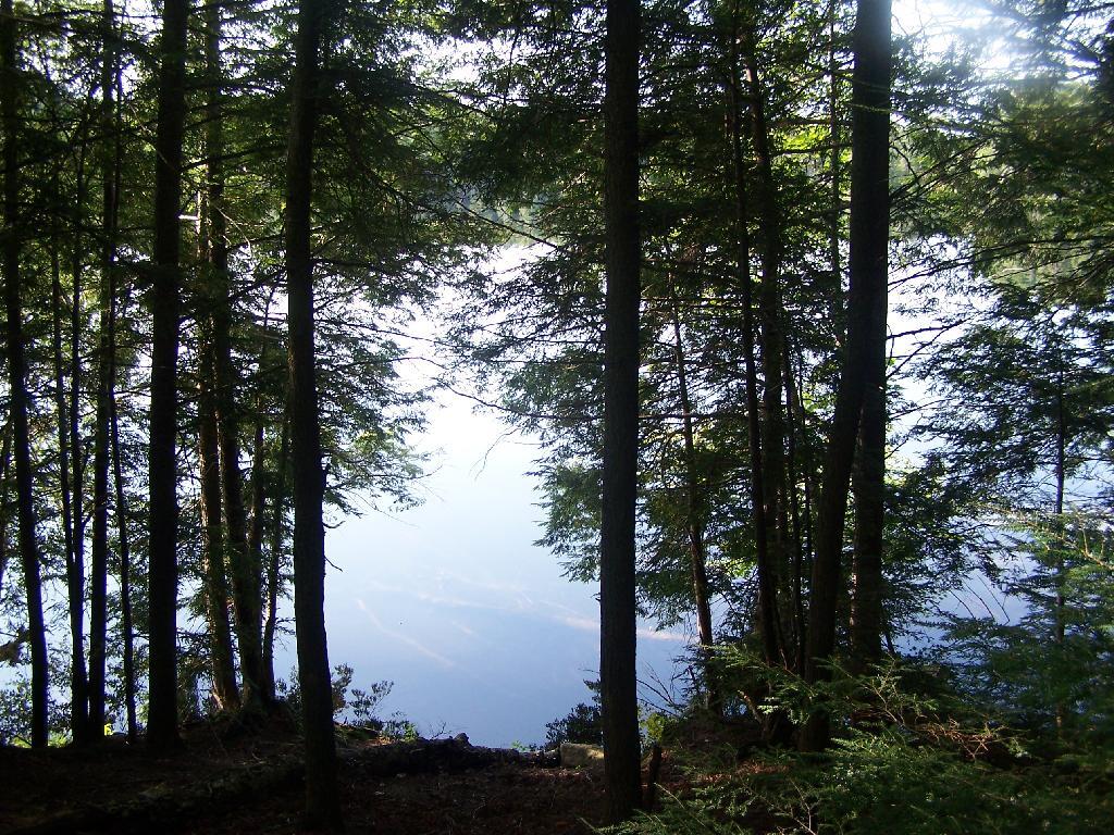
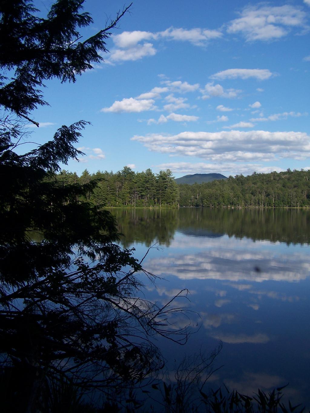
It was a beautiful day at Mason Lake with puffy clouds above.

Clouds and Marsh at Mason Lake

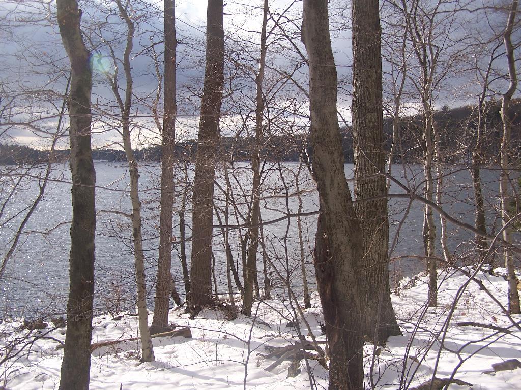
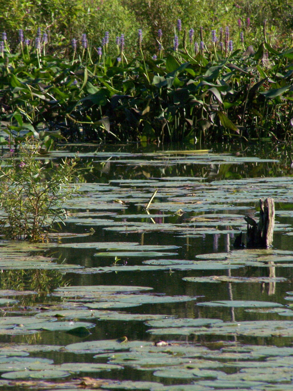
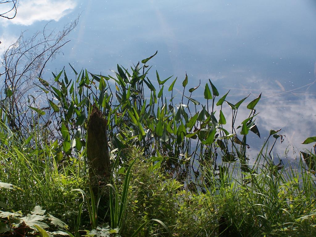
Thru Swampy End of Mason Lake. You had to watch out for trees on the bottom that you could get hung up on.

Thru Swampy End of Mason Lake

Pond Lilly

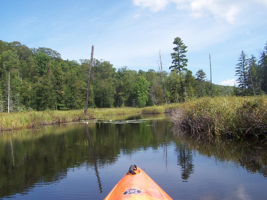
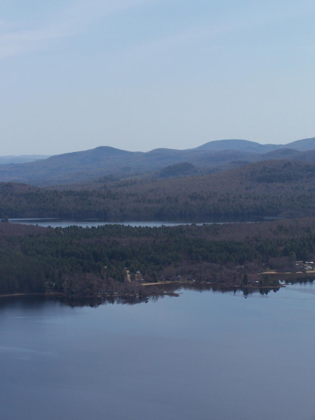
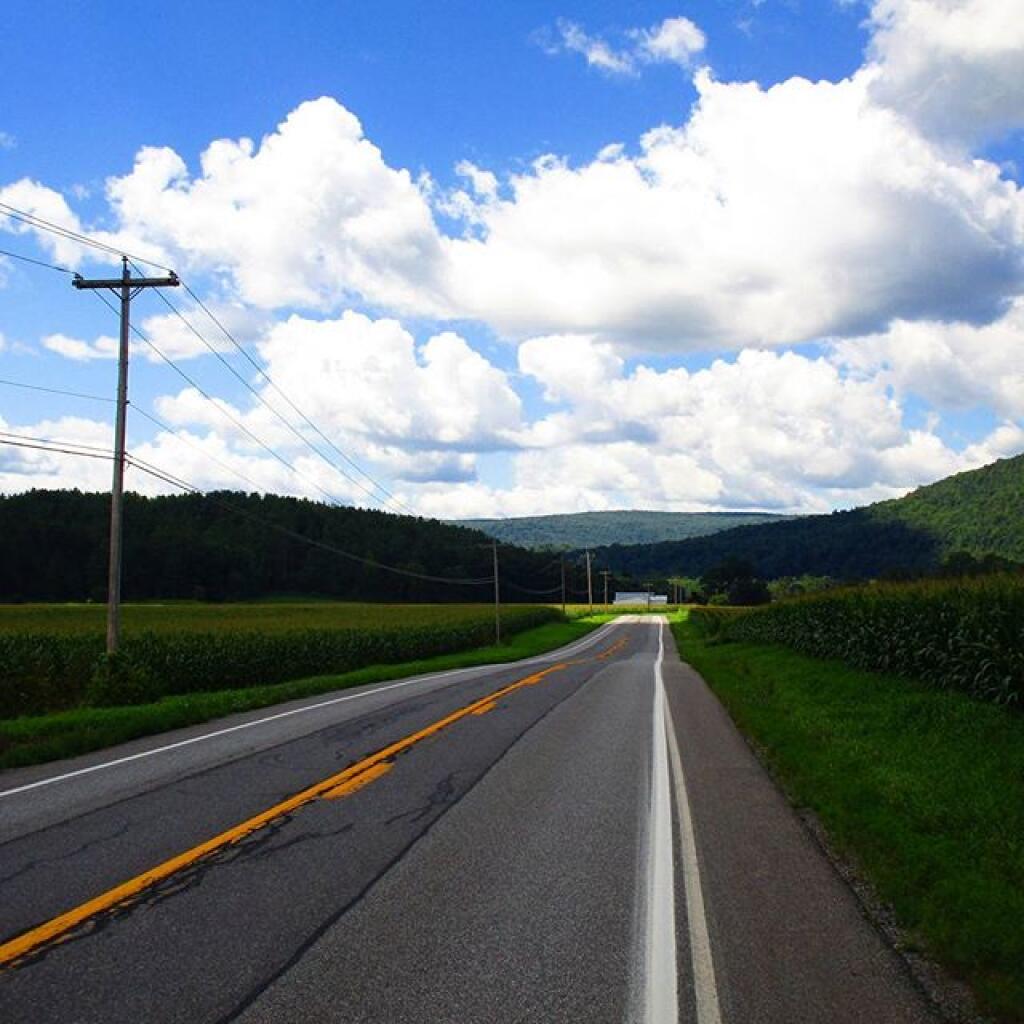
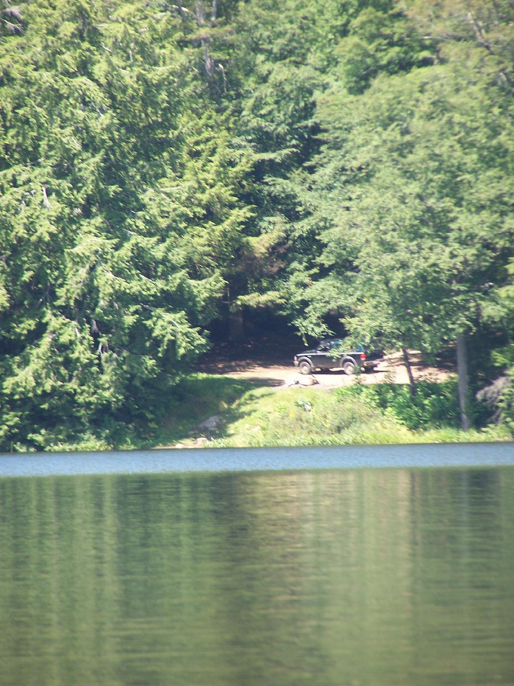
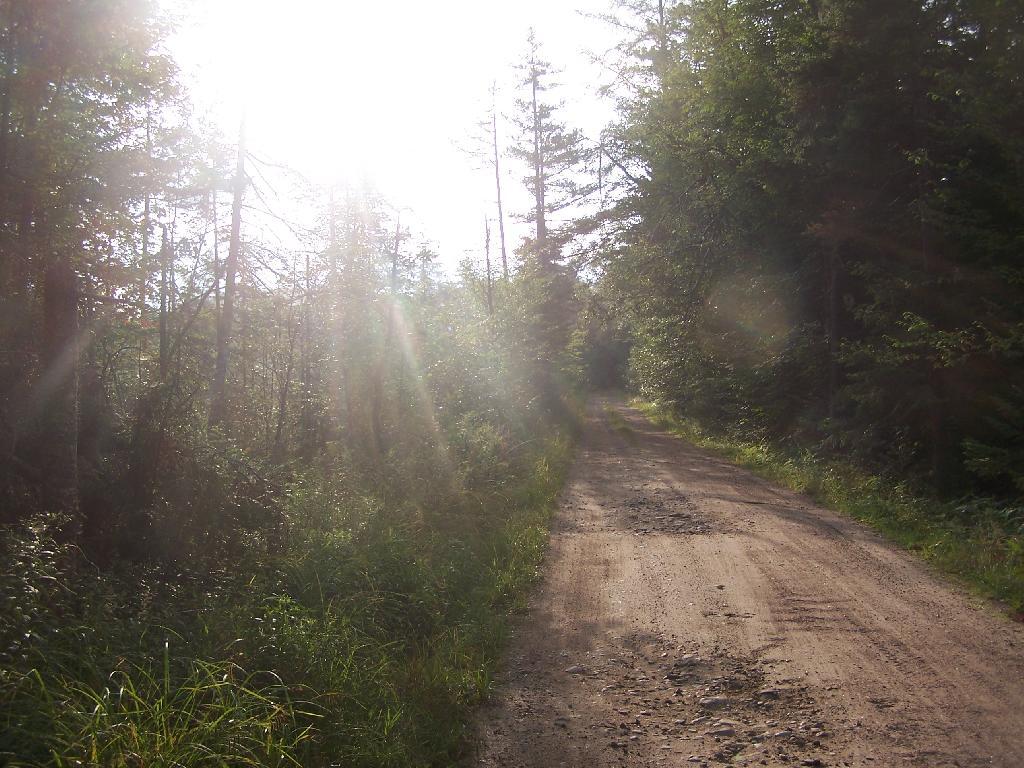
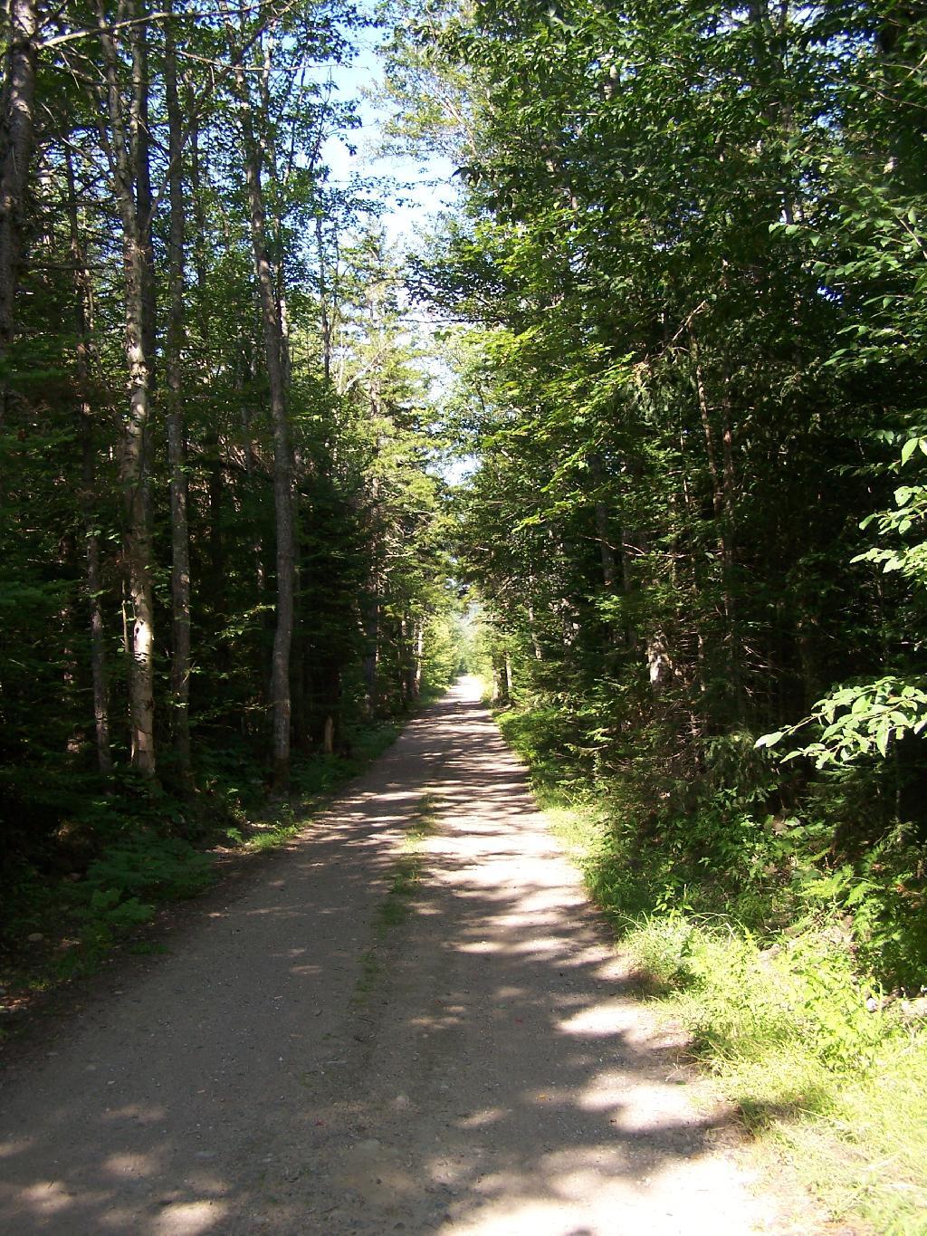
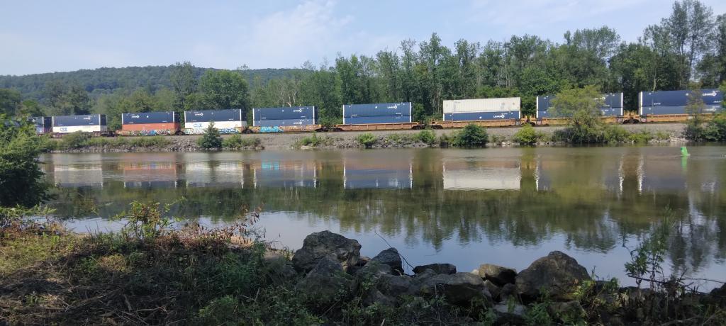
Jessup River Road. As seen from the southern end of Mason Lake paddling around.

Jessup River Road

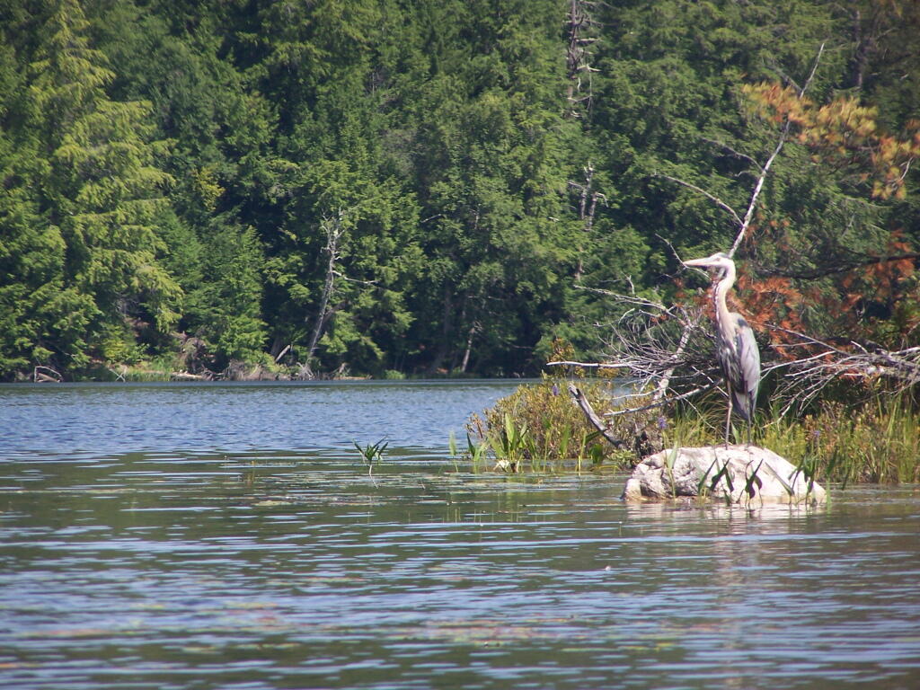
Great Blue Heron, standing tall on an Island on Mason Lake.

Great Blue Heron

Another Island on Mason Lake

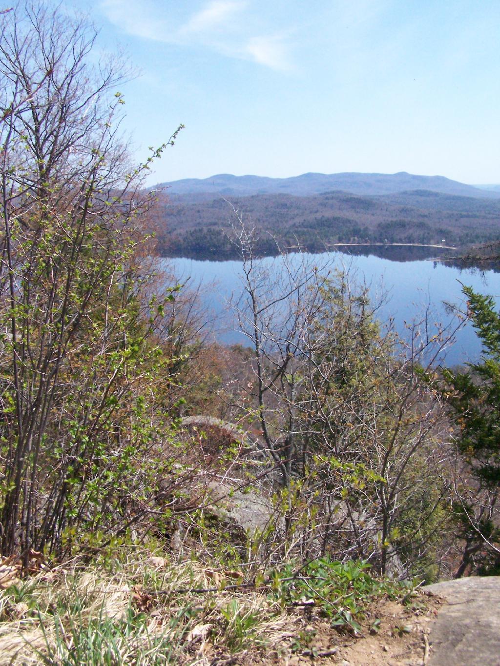
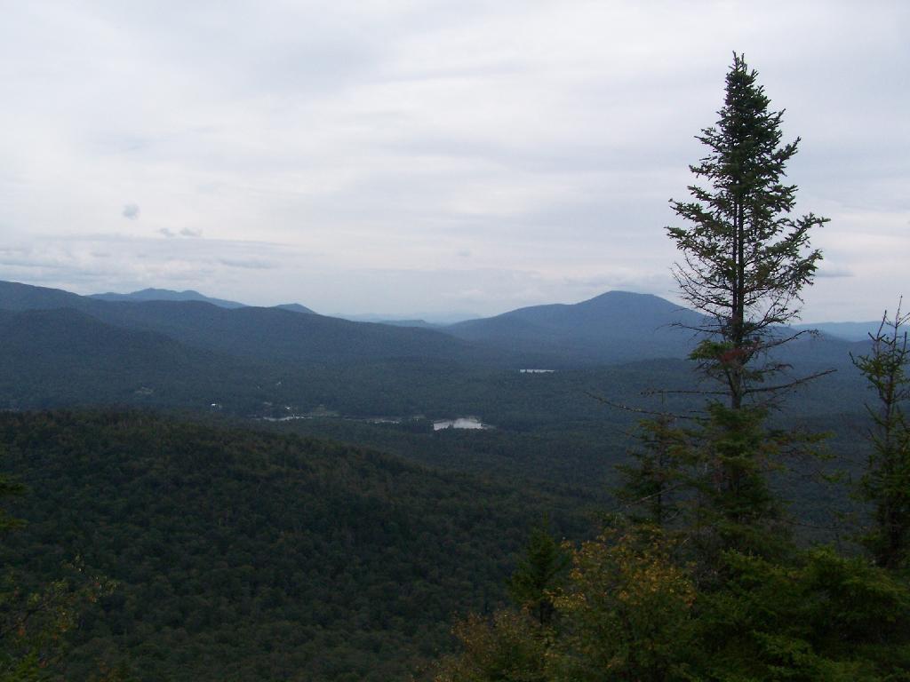
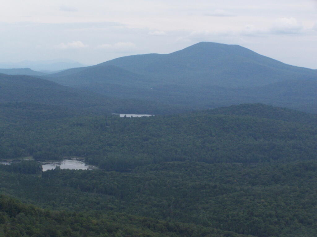
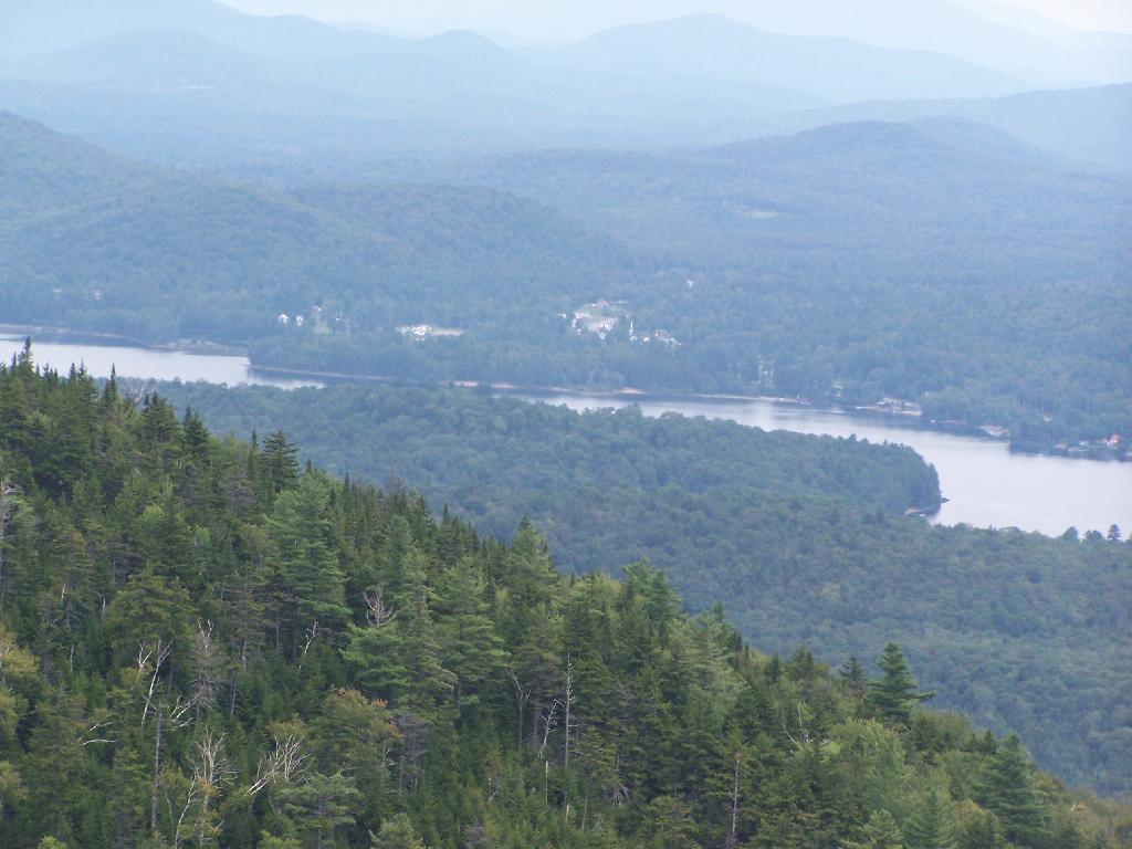
Snowy Mountain. As seen from the middle of Mason Lake.

Snowy Mountain

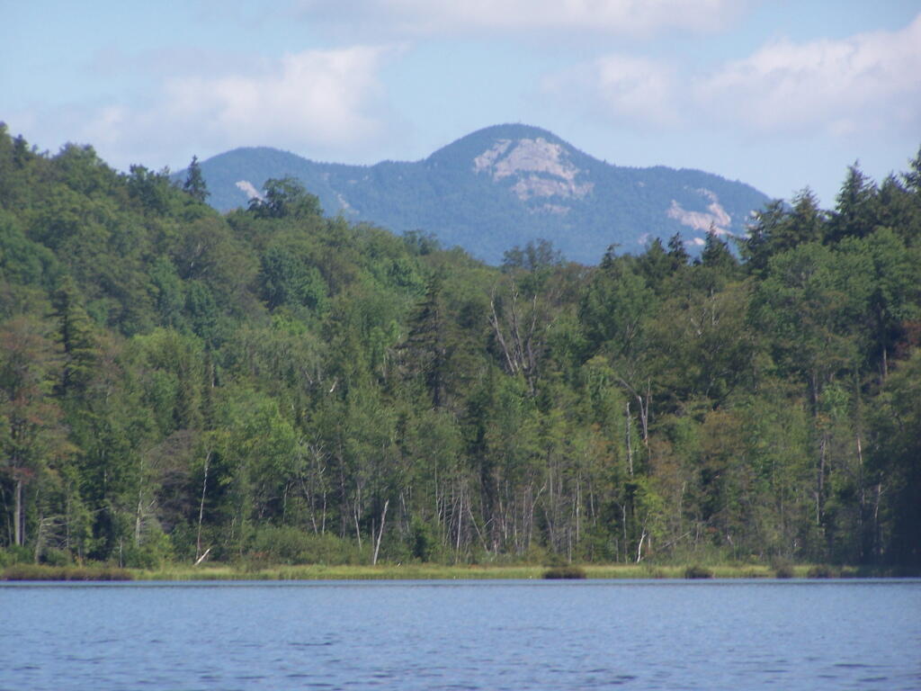
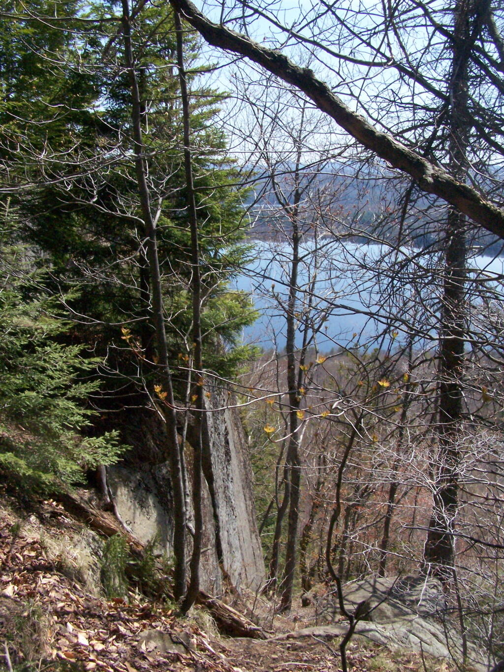
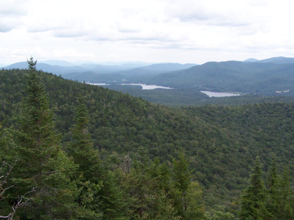
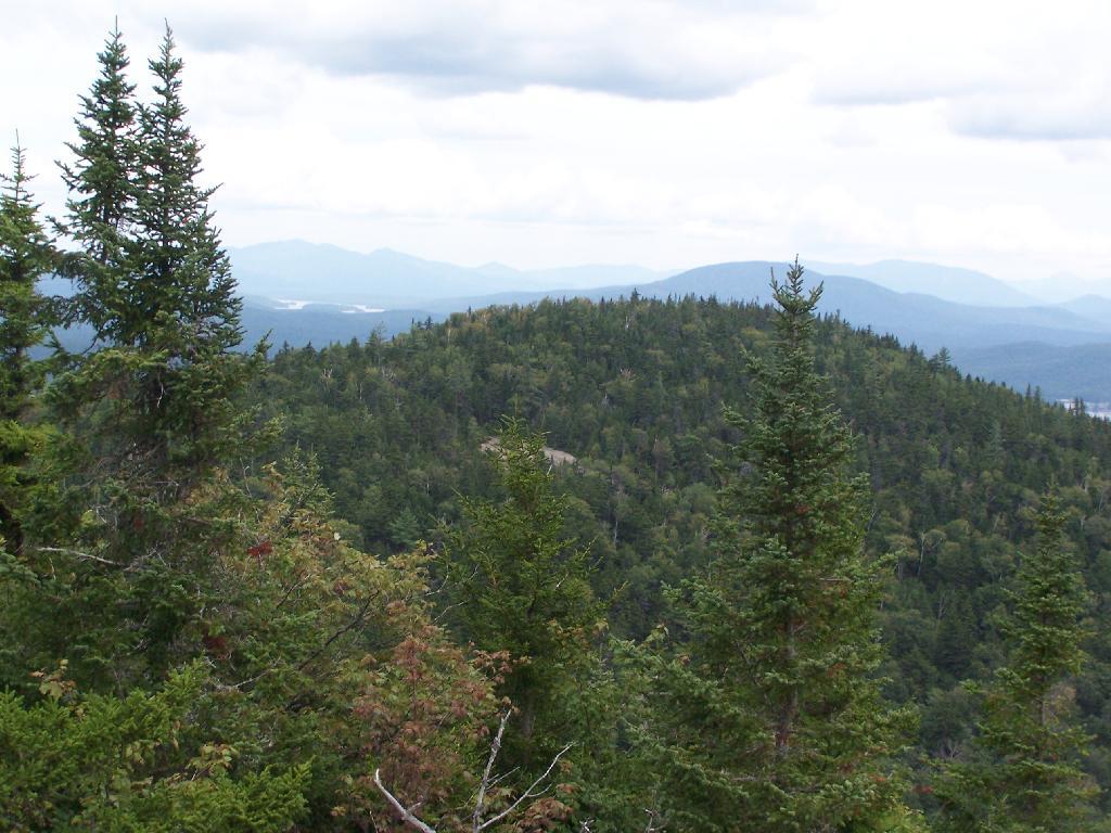
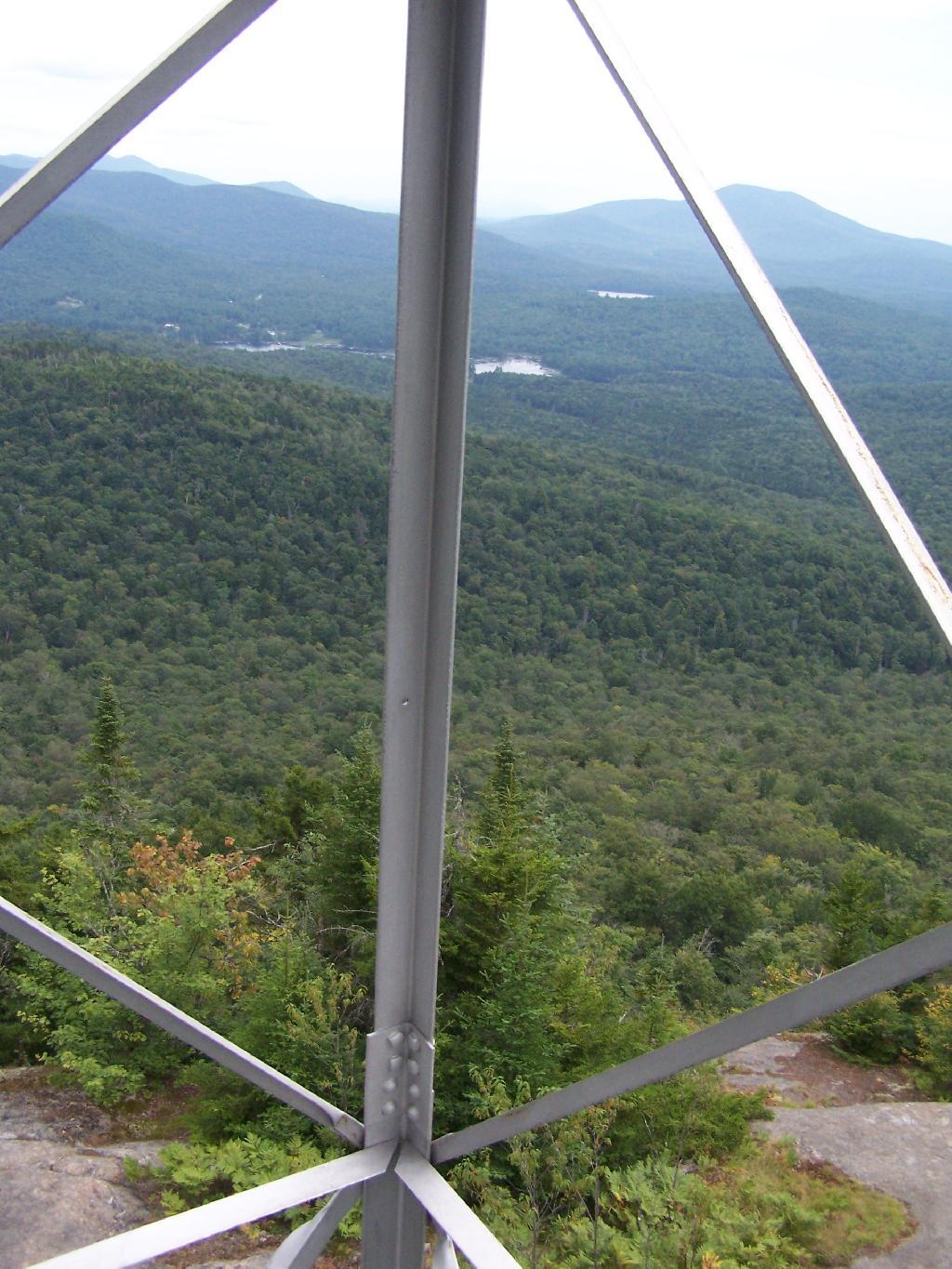
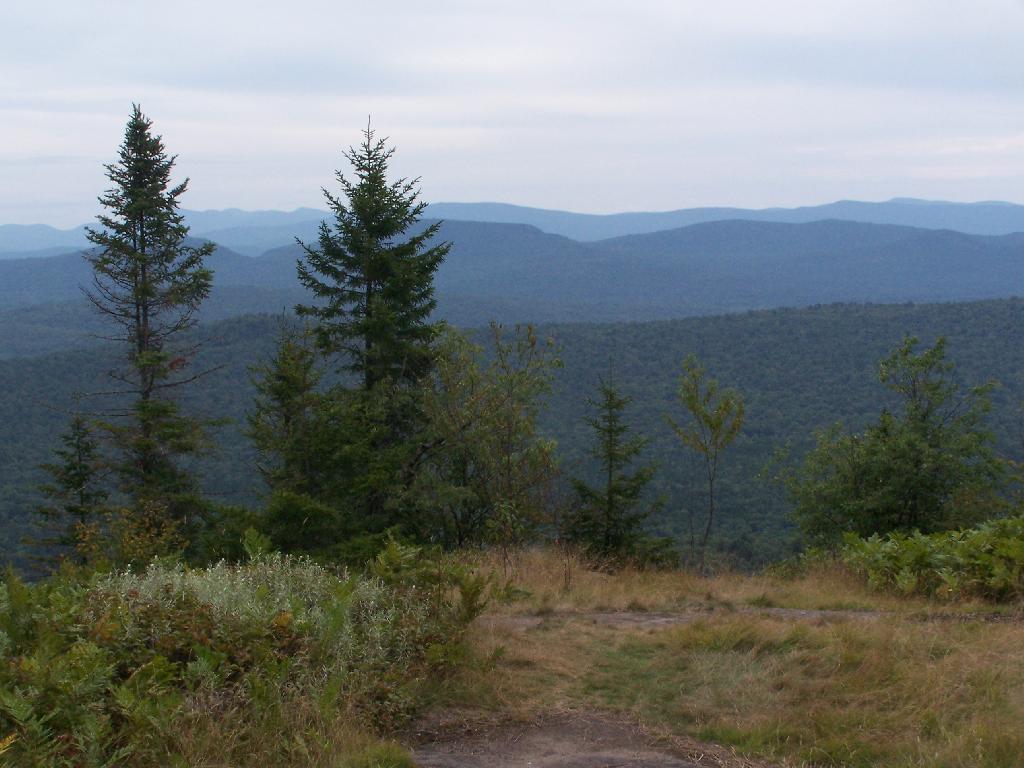
Lower Blue Ridge. As seen from Mason Pond. Beyond this ridge is Moose River Plains and Cedar River Flow.

Lower Blue Ridge

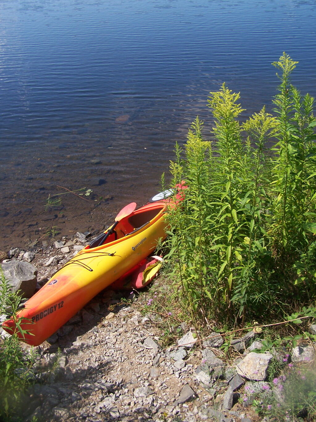
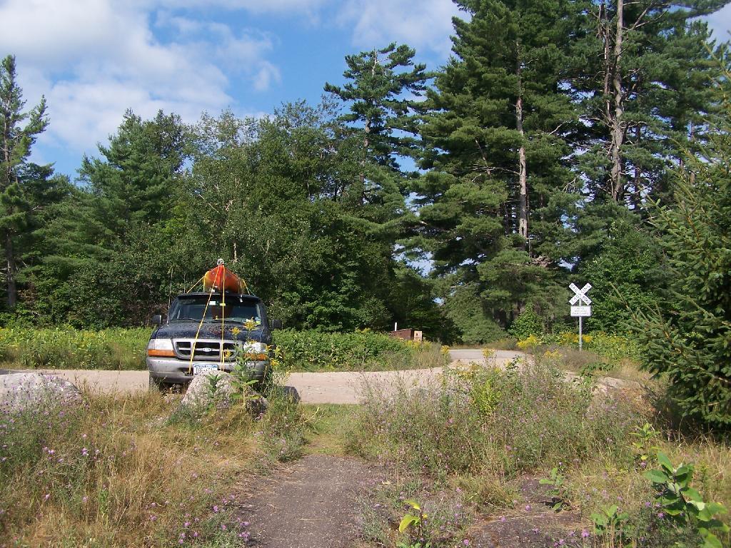
Kayak Parked at the Mason Lake Parking Area, where people pull off NY 30, totally oblivious to the camp sites across the lake.

Kayak Parked

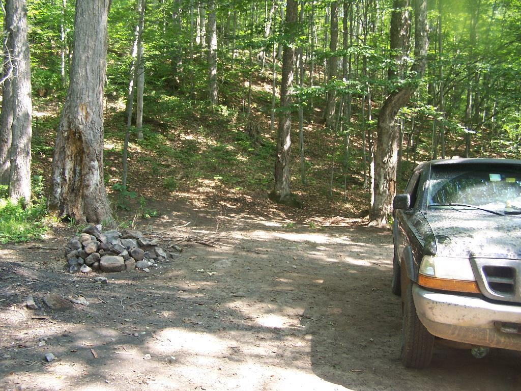
Lakeside Campsite. This was the lake campsite at Mason Lake I camped out on Tuesday night. It was pretty nice that night, although I didn’t get any pictures, because I was dead tired after driving up two hours after work.

Lakeside Campsite

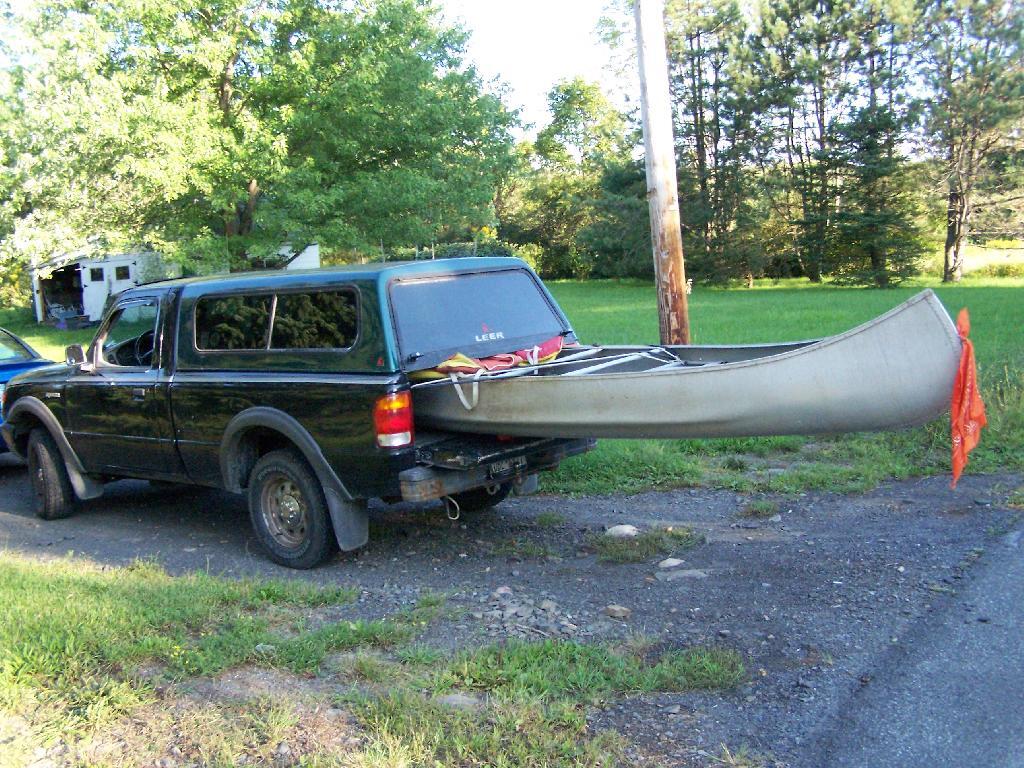
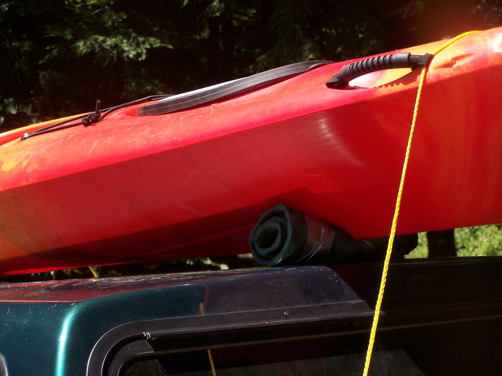
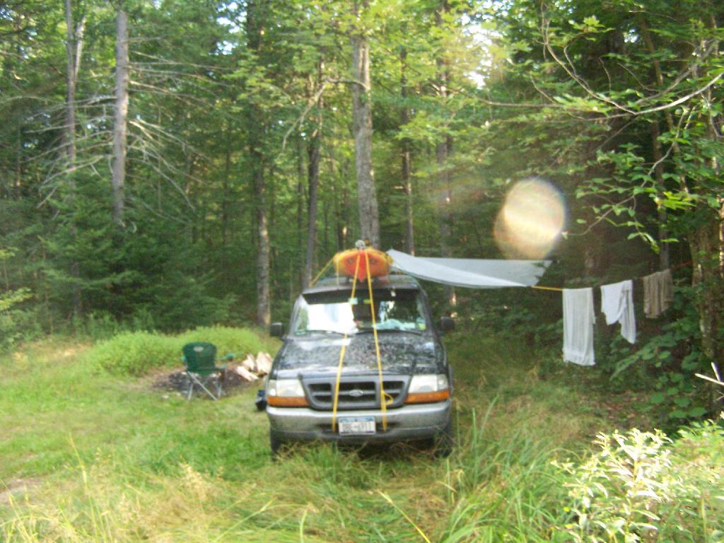
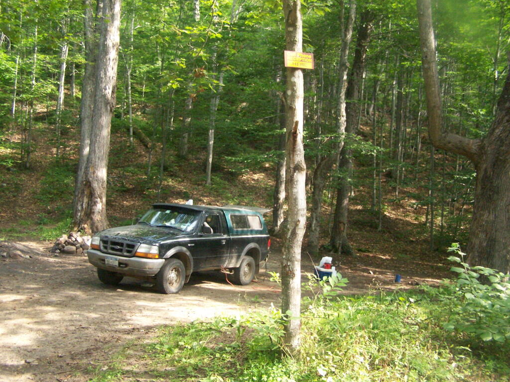
Truck’s All Packed. All I have to do now is put the kayak on the roof of my truck, and head north to Cedar River Flow for the next day of camping out.

Truck's All Packed

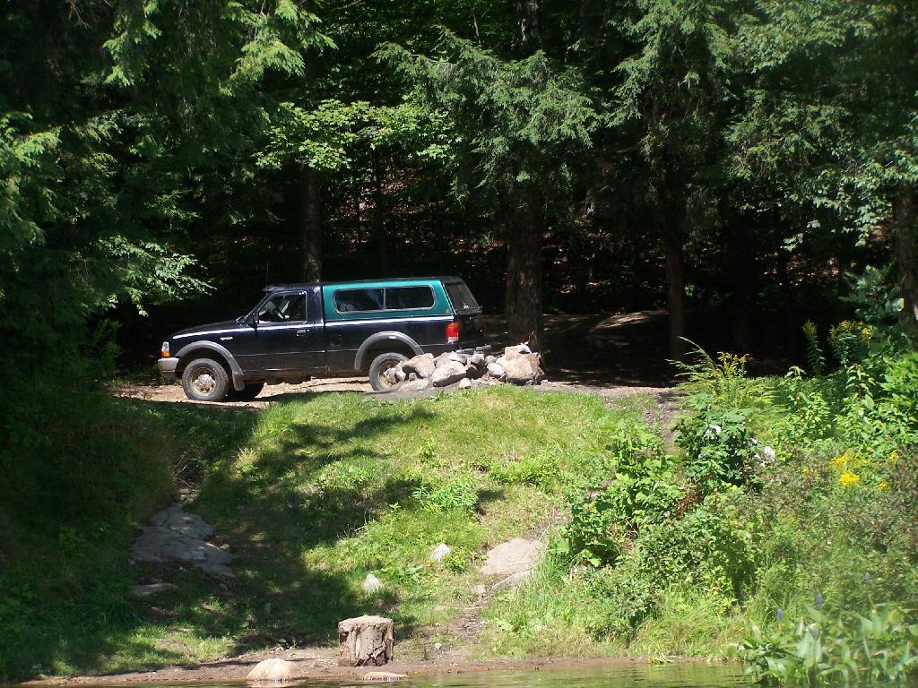
Lake Side Parking. This by where I camped down at Mason Lake.

Lake Side Parking

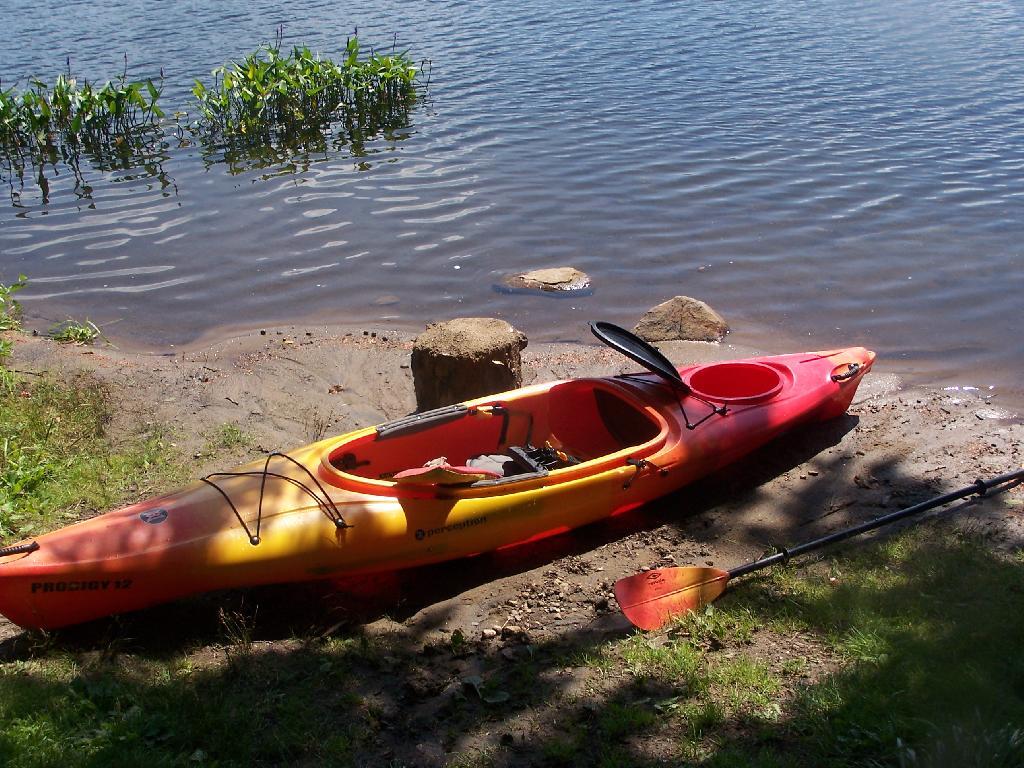
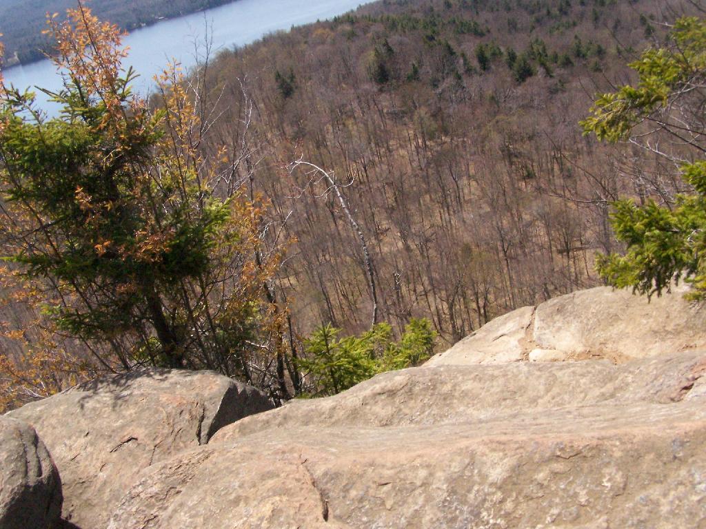
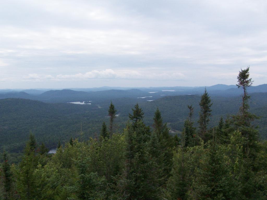
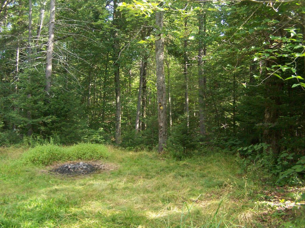
The campsite I stayed at with it’s views at Mason Lake. It was real nice.

Campsite with a View

Styrofoam Canoe Blocks I Made. I cut up an old styrofoam sleeping pad, rolled it up, cut notches, and duck taped it all together. It worked well, far better then trying to let the kayak ride directly on the roof of the pickup.

Styrofoam Canoe Blocks I Made

Here is a map of the lake. 12 Campsites are located along Jessup River Road, 3 which are RV/truck accessible with water, 3 that tent sites, and about 6 nearby the water. It’s great.
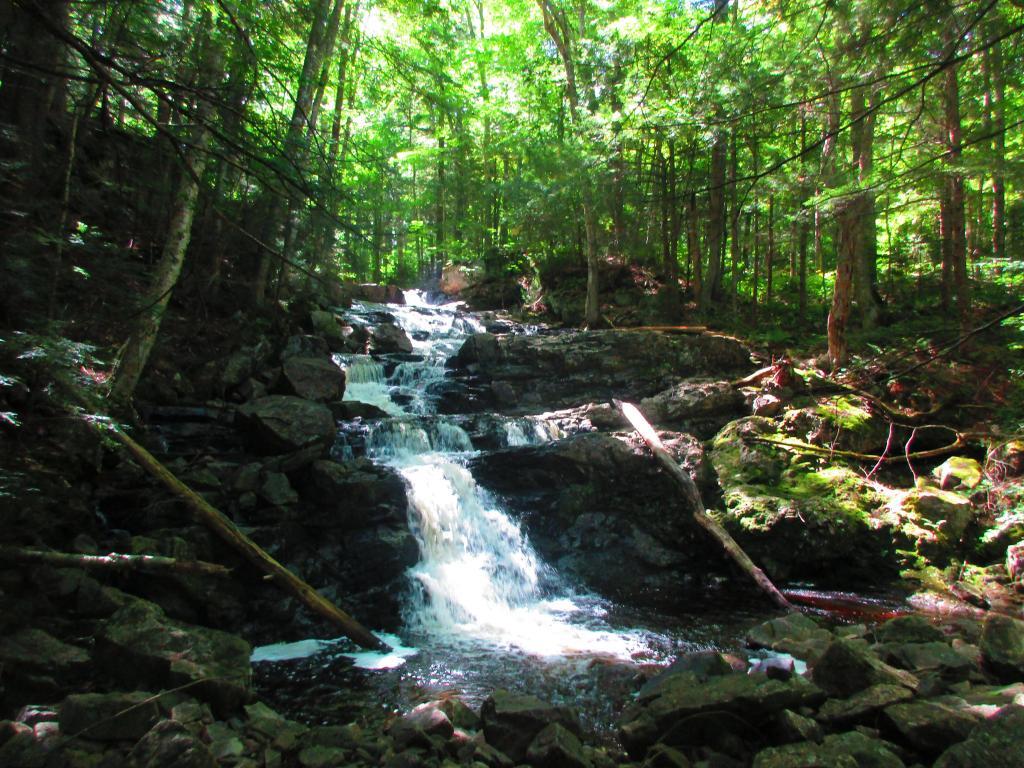
Owls Head Mountain Firetower (Long Lake)

There are at least three different mountains in the Adirondacks known as Owls’ Head due to their small rounded peaks, with broad cols for shoulders. This one is the one near Long Lake, that has a 30 foot LS 45 Aermotor Firetower on top of it.

Sargent Ponds Wild Forest Kiosk. This is where you sign in, so they can have an idea on trail use, and make it easier to find you if your lost or injured.

Sargent Ponds Wild Forest Kiosk

1/2 Mile In. The trail crosses this downed tree.

1/2 Mile In

Boardwalks. Parts of the trail cross marshy areas on board walks, like these constructed on the first 3/4 mile of the trail.

Boardwalks

T Intersection. Make a left at one mile, to go up Owls Head. The other direction takes you to the Lake Eaton State Campground.

T Intersection

Grown Over Steel Trail Marker. It looks like in 1982, the state experimented with these imprinted steel trail markers along the trail, long since largely grown into the barks of the tree.

Grown Over Steel Trail Marker

Views as You Ascend. This is looking backwards, towards the Sargent Ponds Wilderness, Lake Eaton, and the timber lands between here and Tupper Lake.

Views as You Ascend

Observers Cabin Ruins. The cabin the fire warden lived in years ago, is not located on top of Owl’s Head, but below it on the shoulder. It’s a 1/4 mile hike to the top, and you accent about 200 more feet, up the pointly little head. The cabin was probably located here, so the warden could meet visitors, and escort them to the top.

Observers Cabin Ruins

Well Worn Trail. Part of the trail is well worn, and is on open rock face. The good news however is with the lush tree cover, you don’t have to worry about acrophobia up here.

Well Worn Trail

Reaching the Tower. You can’t see the fire tower until your almost on top of it, due to the heavy trees that surround the summit of the mountain, except for the bald portion where the tower is located, open to views to the south and east.

North Creek Falls

Survey Marker. It says it was placed in 1942 by USGS. It’s right below the fire tower proper.

Survey Marker

Fire Tower. The fire tower is a 30 foot LS 45 Aermotor tower, pretty typical for NY State. It’s one of the short little towers, like also seen on Rondaxe Mountain in Eagle Bay.

Fire Tower

Forked Lake. This is looking south from the summit towards Forked Lake Campground and possibly Racquette Lake. The mountain in the distance is Wakely Mountain, one of the other fire towers originally used to pin-point fires in the Adirondacks (it takes two towers to locate a fire through triangulation).

Forked Lake

Long Lake. This is another picture of Long Lake, a little bit farther north, with the shoulder/col of Owls Head visible in the foreground.

Long Lake

North. In the distance is Saranac Lake and Lake Placid, with Whiteface just beyond it. Not the clearest or nicest of days, but still visable. In the foreground is the col/shoulder of Owls Head.

North

Blue Mountain. Blue Mountain is another fire tower / mountain that is visible from Owls Head. Located about 10 miles away, in the foreground are Minnow Pond and Mud Pond.

Blue Mountain

Sargent Ponds Area & Timberland. This portion north of NY 28 Corridor and Fulton Chain of Lakes is relatively flat, wild, and many portions privately owned as timberland.

Sargent Ponds Area & Timberland

Float Plane. Owls Head is not the quietest mountain out there. Throughout the day, tourist float planes for hire, fly on and off Long Lake, just to north of mountain. They fly quiet low, as they are making the decent back to Long Lake.

Float Plane

Long Lake Village. While hazy today, you can see village of Long Lake quite well from the tower. It’s always crazy there, and I try to avoid towns whenever I’m in the Adirondacks.

Long Lake Village

Fire Tower Corner. I always like pictures of the angles and construction of the fire tower. While common after climbing so many, fire towers have a lot of character in their structural steel.

Fire Tower Corner

Tower Cabin Closed. It’s unfortunate but the tower’s cabin on this tower is closed, as it’s used for communications equipment.

Tower Cabin Closed

Sitting on Mountain. Just sitting back and looking south from the open rock face a top Owls Head.

Sitting on Mountain

Old Telephone Poll. Descending the trail off Owls Head, I saw several of the old telephone poles, heading up to the former Ranger’s cabin. Some have been cut down, and used to control run-off on the trail, but others still remain.

Dexter Lake

Here is a map of the hike.


View Owls Head in a larger map

Camping at Horseshoe Lake, Aug 12

Horseshoe Lake is located on South Eastern Saint Lawrence County, on a dead end state highway, NY 421, a spur from NY 30 South of Tupper Lake. It offers 6 campsites scattered along the lake, with 6 others on nearby roads. It is also near the Bog River Flow Canoe/Kayak Area. Don’t expect to get a campsite on the lake in the afternoon, but the sites along the truck trail are rarely used.

Six Miles to Horseshoe Lake. This is the turn off for NY 421, one of the strangest state highways in the state. It is a dead ended highway, that leads to gravel roads around Horseshoe Lake and Bog River Flow. It is very twisty and narrow, and portions have not been resurfaced in over 50 years.

Six Miles to Horseshoe Lake

After The Pavement Runs Out. About a two miles from the paved end of NY 421, I camped. This is first thing in the morning, with the sun shining down from the wetlands near where I camped.

After The Pavement Runs Out

Campsite No 9. This is Campsite No 9 at Horseshoe Lake, on an Unnamed Adirondack Park Road, about two miles from the end of NY 421/Paved. I could not get site on the lake, arriving at 5 PM at night, but it’s still a nice campsite. This area of Saint Lawrence County is so remote, only 2 big pickup trucks, and logging truck passed by in the 12 or so hours I was there.

Campsite No 9

Not Fancy Campsite. By no means was Campsite No 9 on the Unnamed Road, particularly fancy. But it provided a place to camp, and was a three minute drive down to the lake. I could have gotten a spot on Horseshoe Lake most likely had I arrived in the morning, as it seemed like campsites tended to clear out in the morning.

Not Fancy Campsite

Road Crosses Railroad Tracks. This is where the weird hair-pin turn appears on maps at the end of NY 421. I’m not sure why it follows this route, as the terrain is flat, but maybe at one time there was an inholding or private home located in here.

Road Crosses Railroad Tracks

Horseshoe Lake in Morning. Heading swimming in a couple of minutes. The water was real nice.

Horseshoe Lake in Morning

Cowboy Hat, Swimming Trunks, Work Boots. Not that you could get the total picture from this image. But the cowboy hat and work boots came off before the dip. A real country boy thing.

Cowboy Hat, Swimming Trunks, Work Boots.

Unnamed Dirt Road. This is the road that goes from Horseshoe Lake to Mount Arab / Piercefield.

Unnamed Dirt Road

Wetlands Along Horseshoe Lake. This is about a mile after the pavement runs out on NY 421, just after the Bog River Flow / Lower Lows Dam Road turn-off

Wetlands Along Horseshoe Lake

Here is a map of where I camped, on the truck trail, west of Horseshoe Lake.


View Larger Map

Camping at Mason Lake

There are 12 primitive campsites on or around Mason Lake, right south of the intersection of NY 30 and Jessup Lake Road, along with a scattering of designated sites in International Paper Easement. I camped there on the night of July 31st of this year. There is no firewood locally, you’ll have to buy some and haul it on the site.

NY 30

Click to download high resolution map for printing. Be aware I added these campsites, and the Unit Plan calls for changes in the layout of campsites, so the site locations may have changed.

The campsites on Mason Lake are fairly popular, and if you want one lake, you will have to get there early.

Mason Lake

Otherwise, the sites off the lake and nearby lake are often open, and the scattered designated sites throughout Perkins Clearing are rarely used. I hiked Pillsbury Mountain in the morning, and didn’t arrive until evening, so I had this site across Jessup River Road, a short walk to the lake.

Train

Campsite on Jessup River Road

Cleaning Up Site

Mason Lake in afternoon has some amazing reflections, of Floodwood Mountain. It’s not perfectly quiet, due to several campsites around, and the noise from NY 30’s traffic, but it is the closest free camping area on NY 30, just being North of Spectulator.

Mason Lake

Reflection

Lillies at Jessup River

Blackwater Falls  [Expires November 7 2023]

Mason Lake in the first light of the morning.

Mason Lake

Towards Floodwood Mountain

Mason Lake Map.

Echo Cliff at Piseco Lake

The Echo Cliff of Panther Mountain overlooks the Piseco Lake, Spy Lake, and Oxbow Lake, along with mountains and points east. The trail that goes up to Echo Cliff is labeled “Panther Mountain”, however the trail does not ever reach the ascent, but dead ends at Echo Cliff.

Panther Mountain Sign

A beautiful day hiking up the trail for sure. The sun was bright, and I kept slapping on sunscreen. It was even a bit warm, not surpising for April 24th.

The Trail

Reaching the top of the trail, almost up to Echo Cliff. The beauty of the mountaintop approaches.

Almost to the Top

Reaching the top, the beauty was amazing, as I looked across Piseco Lake with the trees just starting to green up.

Spring's Colors

Across the Lake to Popular Mountain and Oxbow pond.

Towards Popular Mountain

Sitting along the edge, looking at the land and lake below.

Off the Edge

Here is map of the hike. It’s quick, 30 minute each hike each way. If your up this way, do make this hike. I some day may want to hike this prior to sunrise, and watch the sun rise on this mountain.


View Echo Cliffs and Piseco Lake in a larger map

Snowshoeing at Grafton Lakes

Last Saturday I went out snowshoeing at Grafton Lakes State Park. I wasn’t planning on going out, until I realized how truly nice it was outside. I quickly tossed my snowshoes in the pickup, packed up my pack, and off I went.

Snow Shoes

I drove out along Domain Road, past the winter entrance to the Grafton Lakes Park, and parked down along Second Pond. I didn’t realize that snowshoers/skiers could go through the winter entrance, and all the way to the beach on Long Pond. Instead, I snowshowed out along Second Lake to Long Pond. As you can see, Long Pond was not frozen.

 Shore of Long Lake

I decided to go on the trail around Long Pond. While I’ve been around Long Pond in a canoe and kyack in the summer, I’ve never been all the way around the trail in winter.

Several sections of trail would have been swampy had it been warmer. It instead was ice, in most portions thick enough, that the snowshoes crossed it without cracking through. The trail along Long Pond probably is not very good for hiking on wet times.

Icy Patch

The trail around Long Pond is signed with “More Difficult”. It is amusing to see the trail signed “More Difficult”, especially after all of the High Peaks and other mountains I’ve climbed in the Catskills and beyond. This trail is almost completely flat, bar a few rocks and roots sticking up and a few very small hills.

The far end of the lake looking due south towards the swimming beach. You can’t actually see the beach from here, because the lake turns slightly to the west from here.

Far End of Long Pond

After going around Long Pond, I headed along the Second Lake. This lake was frozen unlike the other pond. It was a bit too thin to dare cut across it.

Percent of Albany County Homeowners Who Moved in Before 1990

Here is a map of the snowshoe hike in blue.


View Hikes of 2009 in a larger map

Canoeing at Lawson Lake

Lawson Lake is a County Park located about 3 miles north of the Alcove Reservior that is a popular local place to go canoeing, fishing, and swimming (although posted against swimming). It is located just off of Route 32, about a mile prior to passing the Alcove.

I frequently go down there canoeing when a have an hour or two to burn up, but don’t want to drive a few more miles out to Partridge Run to canoe on some of those lakes. Lawson Lake is located in a beautiful valley as you can see.

Paddling Around the Lake

Usually when I go out canoeing, I bring the dog with me to help balance the canoe. Usually he is quite well behaved, except when he’s not. He understands left and right, front, and sit.

Dog at the Bow

Here is the dog sitting down and looking out over the side of the canoe.

Eli Navigates

The edge of the pond is quite swampy, but with lots of wildlife, including great blue fishers, beavers, snapping turtles and other animals.

Pond's Edge

Along the edge of the pond are Pond Lillis that can be a bit difficult to paddle through. Good place for fishing, I’m sure.

Paddling through Pond Lilies

My little Ford Ranger pickup truck has a 6 foot short-bed. Yet, at least with one of the canoes my parents own, it fits well in the truck is well balanced. The canoe is held down by the truck cap, and tied in with a set of Bunche Cords. It rides increadibly beautiful β€” I’ve taken it over very bumpy state truck trails with no problems at Partridge Run, and driven dozens of miles at high speed like this.

15 Foot Canoe in a 6 Foot Bed

Here is a map. It’s very easy to get there from Albany, and probably even a quicker drive then out to Partridge Run.