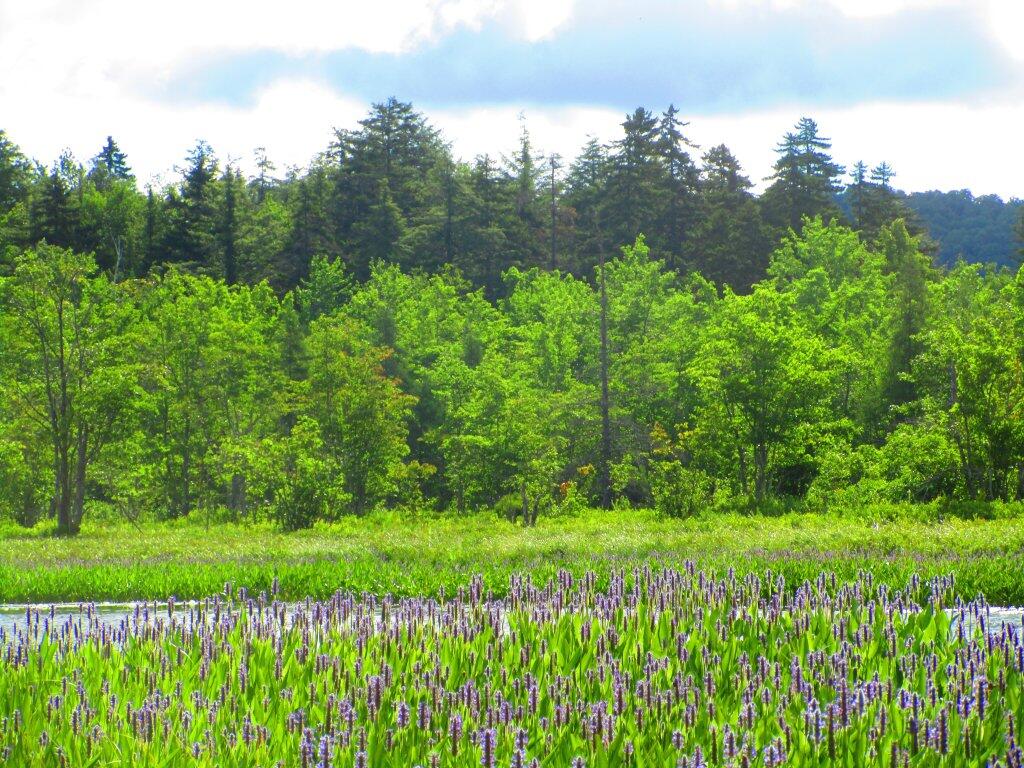
East on River
No, not very paddle-able, but I guess good whitewater in the spring.
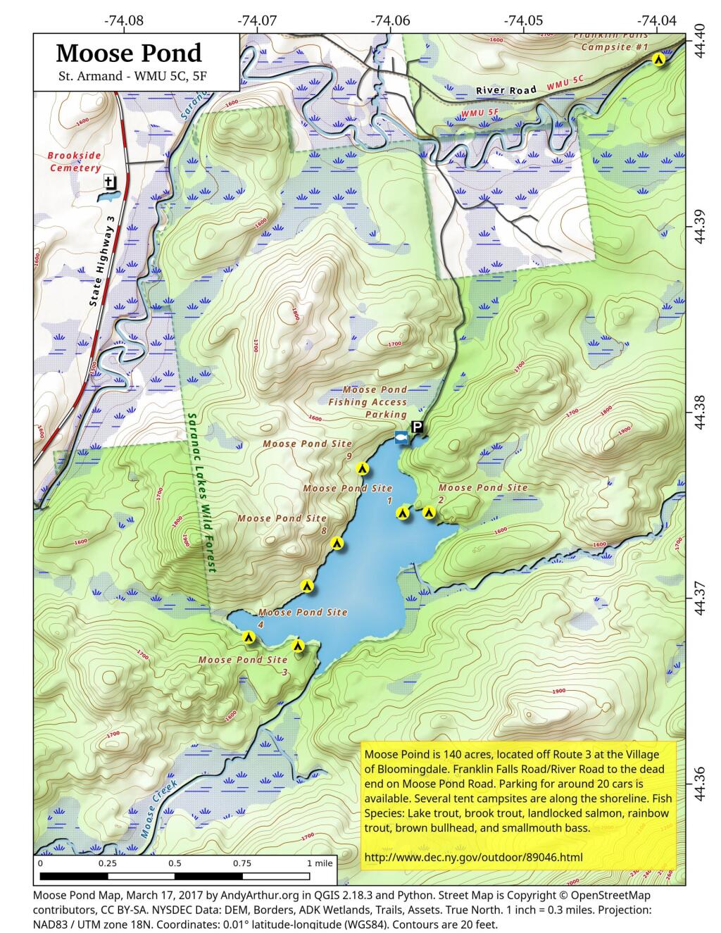
Saturday July 14, 2012 — Whitehouse, NY — Big Eddy Trail 🗺 — Sacandaga Primitive Area - Whitehouse Campsites 🗺 — White House Camping Area on West River Road in Wells 🗺— PDF with All Maps 📚