| Boards of Cooperative Education Services (BOCES) | |
| BOCES | Districts |
|---|---|
| Broome-Delaware-Tioga | Binghamton City, Chenango Forks, Chenango Valley, Deposit, Harpursville, Johnson City, Maine-Endwell, Newark Valley, Owego-Apalachin, Susquehanna Valley, Tioga, Union-Endicott, Vestal, Whitney Point, Windsor |
| Capital Region | Albany City, Berne-Knox-Westerlo, Bethlehem, Burnt Hills-Ballston Lake, Cobleskill-Richmondville, Cohoes City, Duanesburg, Green Island, Guilderland, Menands, Middleburgh, Niskayuna, North Colonie, Ravena-Coeymans-Selkirk, Rotterdam-Mohonasen, Schalmont, Schenectady City, Schoharie, Scotia-Glenville, Sharon Springs, Shenendehowa, South Colonie, Voorheesville, Watervliet City |
| Cattar-Allegany-Erie-Wyoming | Allegany-Limestone, Andover, Belfast, Bolivar-Richburg, Cattaraugus-Little Valley, Cuba-Rushford, Ellicottville, Fillmore, Franklinville, Friendship, Genesee Valley, Hinsdale, Olean City, Portville, Randolph, Salamanca City, Scio, Wellsville, West Valley, Whitesville, Yorkshire-Pioneer |
| Cayuga-Onondaga | Auburn City, Cato-Meridian, Jordan-Elbridge, Moravia, Port Byron, Skaneateles, Southern Cayuga, Union Springs, Weedsport |
| Clinton-Essex-Warren-Washing | Ausable Valley, Beekmantown, Boquet Valley, Chazy, Crown Point, Keene, Moriah, Northeastern Clinton, Northern Adirondack, Peru, Plattsburgh City, Putnam, Saranac, Schroon Lake, Ticonderoga, Willsboro |
| Delaw-Chenango-Madison-Otsego | Afton, Bainbridge-Guilford, Delaware Academy Csd At, Downsville, Franklin, Georgetown-South Otselic, Gilbertsville-Mount Upton, Greene, Hancock, Norwich City, Otego-Unadilla, Oxford Academy &, Sherburne-Earlville, Sidney, Unadilla Valley, Walton |
| Dutchess | Arlington, Beacon City, Dover, Hyde Park, Millbrook, Northeast, Pawling, Pine Plains, Poughkeepsie City, Red Hook, Rhinebeck, Spackenkill, Wappingers |
| Eastern Suffolk | Amagansett, Bay Shore, Bayport-Blue Point, Brentwood, Bridgehampton, Brookhaven-Comsewogue, Center Moriches, Central Islip, Connetquot, East Hampton, East Islip, East Moriches, East Quogue, Eastport-South Manor, Fire Island, Fishers Island, Greenport, Hampton Bays, Hauppauge, Islip, Longwood, Mattituck-Cutchogue, Middle Country, Miller Place, Montauk, Mt Sinai, New Suffolk Comn, Oysterponds, Patchogue-Medford, Port Jefferson, Quogue, Remsenburg-Speonk, Riverhead, Rocky Point, Sachem, Sag Harbor, Sagaponack Comn, Sayville, Shelter Island, Shoreham-Wading River, South Country, Southampton, Southold, Springs, Three Village, Tuckahoe Comn, Wainscott Comn, West Islip, Westhampton Beach, William Floyd |
| Erie 1 | Akron, Alden, Amherst, Buffalo City, Cheektowaga, Cheektowaga-Maryvale, Clarence, Cleveland Hill, Depew, Frontier, Grand Island, Hamburg, Hopevale Ufsd At, Kenmore-Tonawanda, Lackawanna City, Lancaster, Sweet Home, Tonawanda City, West Seneca, Williamsville |
| Erie 2-Chautauqua-Cattaraugus | Bemus Point, Brocton, Cassadaga Valley, Chautauqua Lake, Clymer, Dunkirk City, East Aurora, Eden, Evans-Brant Csd (Lake Shore), Falconer, Forestville, Fredonia, Frewsburg, Gowanda, Holland, Iroquois, Jamestown City, North Collins, Orchard Park, Panama, Pine Valley Csd (South Dayton), Ripley, Sherman, Silver Creek, Southwestern Csd At, Springville-Griffith Inst, Westfield |
| Franklin-Essex-Hamilton | Brushton-Moira, Chateaugay, Lake Placid, Long Lake, Malone, Raquette Lake, Salmon River, Saranac Lake, St Regis Falls, Tupper Lake |
| Genesee Valley | Alexander, Attica, Avon, Batavia City, Byron-Bergen, Caledonia-Mumford, Dalton-Nunda Csd (Keshequa), Dansville, Elba, Geneseo, Le Roy, Letchworth, Livonia, Mt Morris, Oakfield-Alabama, Pavilion, Pembroke, Perry, Warsaw, Wayland-Cohocton, Wyoming, York |
| Hamilton-Fulton-Montgomery | Amsterdam City, Broadalbin-Perth, Canajoharie, Edinburg Common, Fonda-Fultonville, Fort Plain, Gloversville City, Johnstown City, Lake Pleasant, Mayfield, Northville, Oppenheim-Ephratah-St. Johnsville, Piseco Comn, Wells, Wheelerville |
| Herk-Fulton-Hamilton-Otsego | Central Valley Csd At Ilion-, Dolgeville, Frankfort-Schuyler, Herkimer, Little Falls City, Mount Markham, Oppenheim-Ephratah-St. Johnsville, Poland, Richfield Springs, Van Hornesville-Owen D Young, West Canada Valley |
| Jeffer-Lewis-Hamil-Herk-Oneida | Adirondack, Alexandria, Beaver River, Belleville-Henderson, Carthage, Copenhagen, General Brown, Indian River, Inlet Comn, La Fargeville, Lowville Academy &, Lyme, Sackets Harbor, South Jefferson, South Lewis, Thousand Islands, Town Of Webb, Watertown City |
| Madison-Oneida | Camden, Canastota, Hamilton, Madison, Morrisville-Eaton, Oneida City, Rome City, Sherrill City, Stockbridge Valley |
| Monroe 1 | Brighton, East Irondequoit, East Rochester, Fairport, Honeoye Falls-Lima, Penfield, Pittsford, Rochester City, Rush-Henrietta, Webster, West Irondequoit |
| Monroe 2-Orleans | Brockport, Churchville-Chili, Gates-Chili, Greece, Hilton, Holley, Kendall, Spencerport, Wheatland-Chili |
| Nassau | Baldwin, Bellmore, Bellmore-Merrick Central School, Bethpage, Carle Place, East Meadow, East Rockaway, East Williston, Elmont, Farmingdale, Floral Park-Bellerose, Franklin Square, Freeport, Garden City, Glen Cove City, Great Neck, Hempstead, Herricks, Hewlett-Woodmere, Hicksville, Island Park, Island Trees, Jericho, Lawrence, Levittown, Locust Valley, Long Beach City, Lynbrook, Malverne, Manhasset, Massapequa, Merrick, Mineola, New Hyde Park-Garden City Park, North Bellmore, North Merrick, North Shore, Oceanside, Oyster Bay-East Norwich, Plainedge, Plainview-Old Bethpage, Port Washington, Rockville Centre, Roosevelt, Roslyn, Seaford, Sewanhaka Central School, Syosset, Uniondale, Valley Stream 13, Valley Stream 24, Valley Stream 30, Valley Stream Central School, Wantagh, West Hempstead, Westbury |
| Oneida-Herkimer-Madison | Brookfield, Clinton, Holland Patent, New Hartford, Ny Mills, Oriskany, Remsen, Sauquoit Valley, Utica City, Waterville, Westmoreland, Whitesboro |
| Onondaga-Cortland-Madison | Baldwinsville, Cazenovia, Chittenango, Cincinnatus, Cortland City, Deruyter, East Syracuse Minoa, Fabius-Pompey, Fayetteville-Manlius, Homer, Jamesville-Dewitt, Lafayette, Liverpool, Lyncourt, Marathon, Marcellus, Mcgraw, North Syracuse, Onondaga, Solvay, Syracuse City, Tully, West Genesee, Westhill |
| Orange-Ulster | Chester, Cornwall, Florida, Goshen, Greenwood Lake, Highland Falls, Kiryas Joel Village, Marlboro, Middletown City, Minisink Valley, Monroe-Woodbury, Newburgh City, Pine Bush, Port Jervis City, Tuxedo, Valley Csd (Montgomery), Warwick Valley, Washingtonville |
| Orleans-Niagara | Albion, Barker, Lewiston-Porter, Lockport City, Lyndonville, Medina, Newfane, Niagara Falls City, Niagara-Wheatfield, North Tonawanda City, Royalton-Hartland, Starpoint, Wilson |
| Oswego | Altmar-Parish-Williamstown, Central Square, Fulton City, Hannibal, Mexico, Oswego City, Phoenix, Pulaski, Sandy Creek |
| Otsego-Delaw-Schoharie-Greene | Andes, Charlotte Valley, Cherry Valley-Springfield, Cooperstown, Edmeston, Gilboa-Conesville, Hunter-Tannersville, Jefferson, Laurens, Margaretville, Milford, Morris, Oneonta City, Roxbury, Schenevus, South Kortright, Stamford, Windham-Ashland-Jewett, Worcester |
| Putnam-Northern Westchester | Bedford, Brewster, Briarcliff Manor, Carmel, Chappaqua, Croton-Harmon, Garrison, Haldane, Hendrick Hudson, Katonah-Lewisboro, Lakeland, Mahopac, North Salem, Ossining, Peekskill City, Putnam Valley, Somers, Yorktown |
| Questar Iii (R-C-G) | Averill Park, Berkshire, Berlin, Brunswick Csd (Brittonkill), Cairo-Durham, Catskill, Chatham, Coxsackie-Athens, East Greenbush, Germantown, Greenville, Hoosic Valley, Hoosick Falls, Hudson City, Kinderhook, Lansingburgh, New Lebanon, North Greenbush Comn Sd (Williams), Rensselaer City, Schodack, Taconic Hills, Troy City, Wynantskill |
| Rockland | Clarkstown, East Ramapo Csd (Spring Valley), Haverstraw-Stony Point Csd (North, Nanuet, Nyack, Pearl River, Ramapo Csd (Suffern), South Orangetown |
| Schuy-Steub-Chem-Tioga-Alleg | Addison, Alfred-Almond, Arkport, Avoca, Bath, Bradford, Campbell-Savona, Canaseraga, Canisteo-Greenwood, Corning City, Elmira City, Elmira Heights, Hammondsport, Hornell City, Horseheads, Jasper-Troupsburg, Odessa-Montour, Prattsburgh, Spencer-Van Etten, Watkins Glen, Waverly |
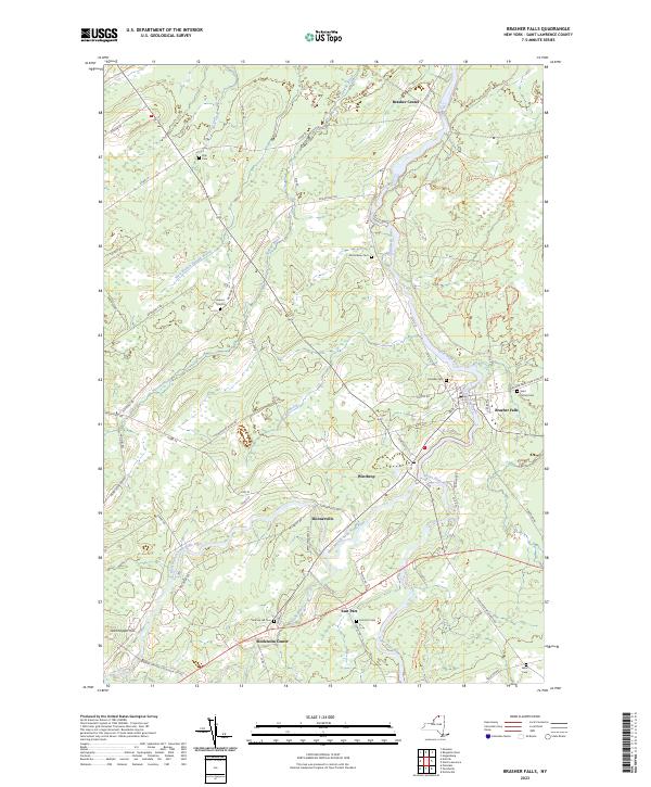
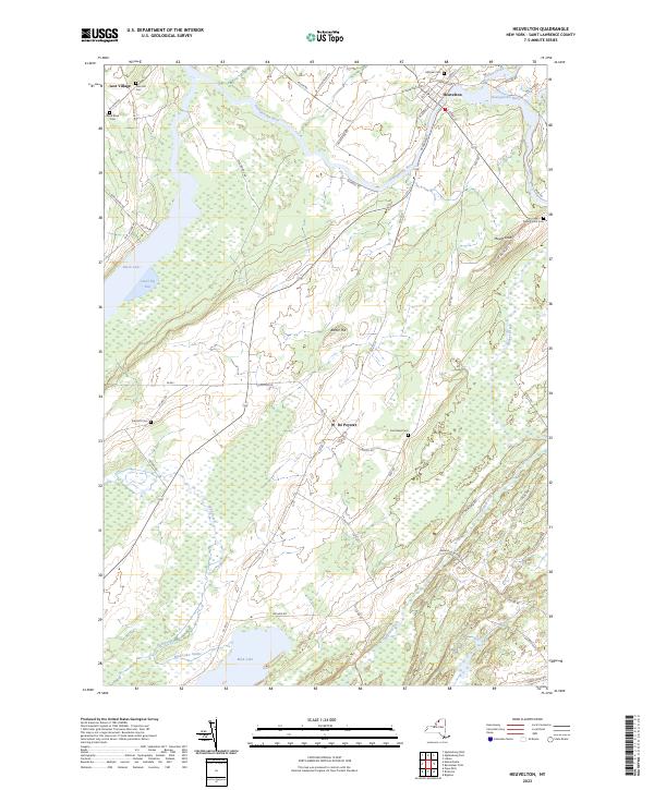
| St Lawrence-Lewis | Brasher Falls, Canton, Clifton-Fine, Colton-Pierrepont, Edwards-Knox, Gouverneur, Hammond, Harrisville, Hermon-Dekalb, Heuvelton, Lisbon, Madrid-Waddington, Massena, Morristown, Norwood-Norfolk, Ogdensburg City, Parishville-Hopkinton, Potsdam |
| Sullivan | Eldred, Fallsburg, Liberty, Livingston Manor, Monticello, Roscoe, Sullivan West, Tri-Valley |
| Tompkins-Seneca-Tioga | Candor, Dryden, Groton, Ithaca City, Lansing, Newfield, South Seneca, Trumansburg |
| Ulster | Ellenville, Highland, Kingston City, New Paltz, Onteora, Rondout Valley, Saugerties, Wallkill |
| Washing-Sara-War-Hamltn-Essex | Argyle, Ballston Spa, Bolton, Cambridge, Corinth, Fort Ann, Fort Edward, Galway, Glens Falls City, Glens Falls Comn, Granville, Greenwich, Hadley-Luzerne, Hartford, Hudson Falls, Indian Lake, Johnsburg, Lake George, Mechanicville City, Minerva, Newcomb, North Warren, Queensbury, Salem, Saratoga Springs City, Schuylerville, South Glens Falls, Stillwater, Warrensburg, Waterford-Halfmoon, Whitehall |
| Wayne-Finger Lakes | Canandaigua City, Clyde-Savannah, Dundee, East Bloomfield, Gananda, Geneva City, Gorham-Middlesex Csd (Marcus, Honeoye, Lyons, Manchester-Shortsville Csd (Red, Marion, Naples, Newark, North Rose-Wolcott, Palmyra-Macedon, Penn Yan, Phelps-Clifton Springs, Red Creek, Romulus, Seneca Falls, Sodus, Victor, Waterloo, Wayne, Williamson |
| Westchester | Ardsley, Blind Brook-Rye, Bronxville, Byram Hills, Dobbs Ferry, Eastchester, Edgemont, Elmsford, Greenburgh, Harrison, Hastings-On-Hudson, Irvington, Mamaroneck, Mt Pleasant, Mt Vernon School, New Rochelle City, Pelham, Pleasantville, Pocantico Hills, Port Chester-Rye, Rye City, Rye Neck, Scarsdale, Tuckahoe, Ufsd-, Valhalla, White Plains City, Yonkers City |
| Western Suffolk | Amityville, Babylon, Cold Spring Harbor, Commack, Copiague, Deer Park, Elwood, Half Hollow Hills, Harborfields, Huntington, Kings Park, Lindenhurst, North Babylon, Northport-East Northport, Smithtown, South Huntington, West Babylon, Wyandanch |
| Andy Arthur, 3/31/23 Data Source:
NYS Education Department. |
|
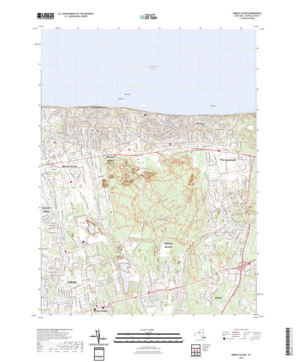
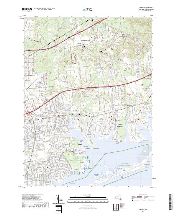
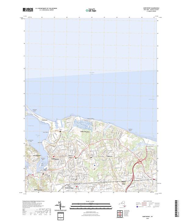
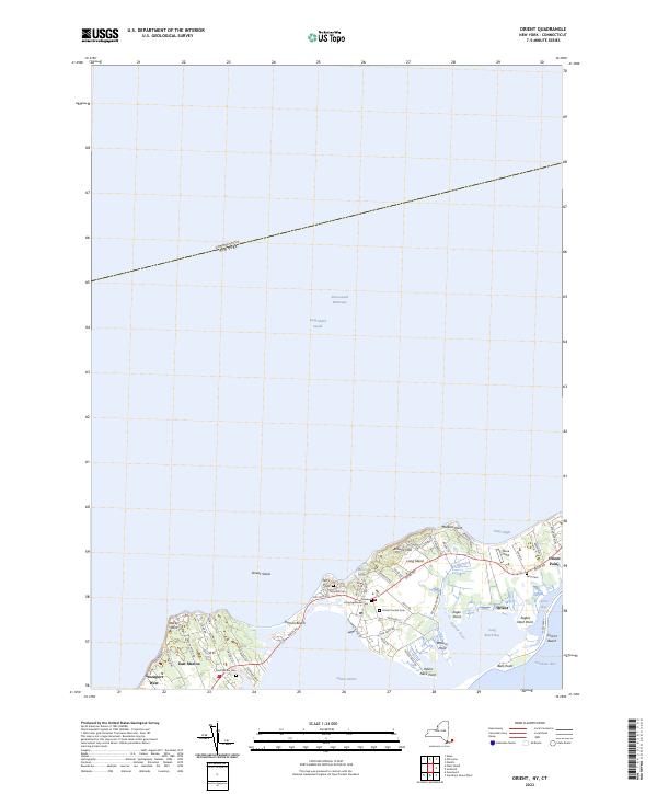
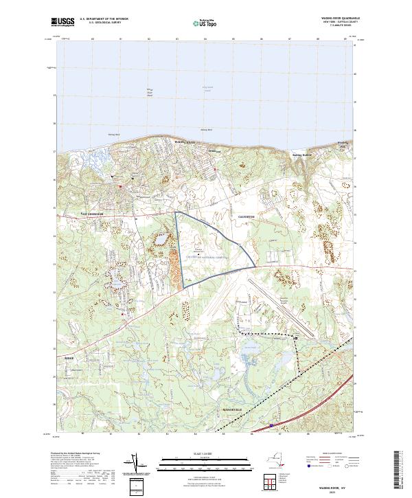
Search Results for: brunswick ny
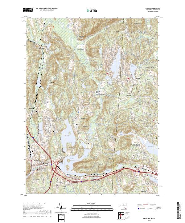
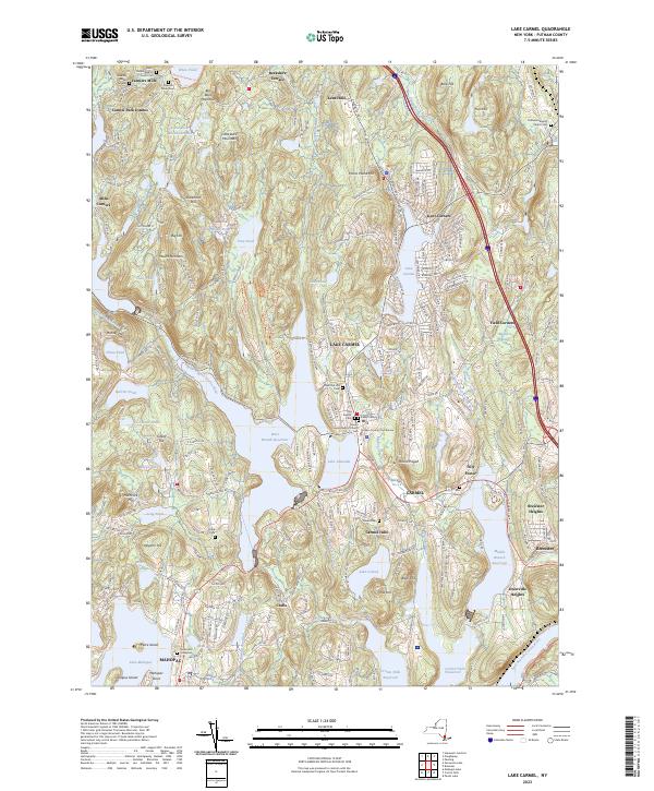
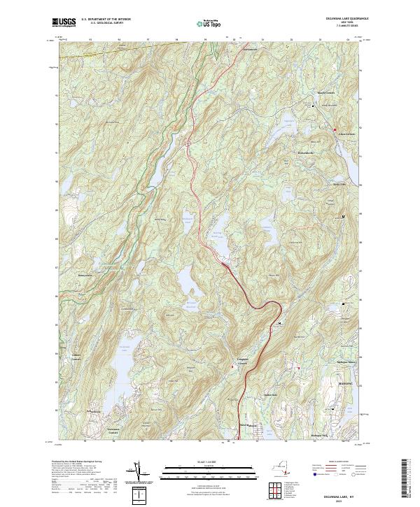
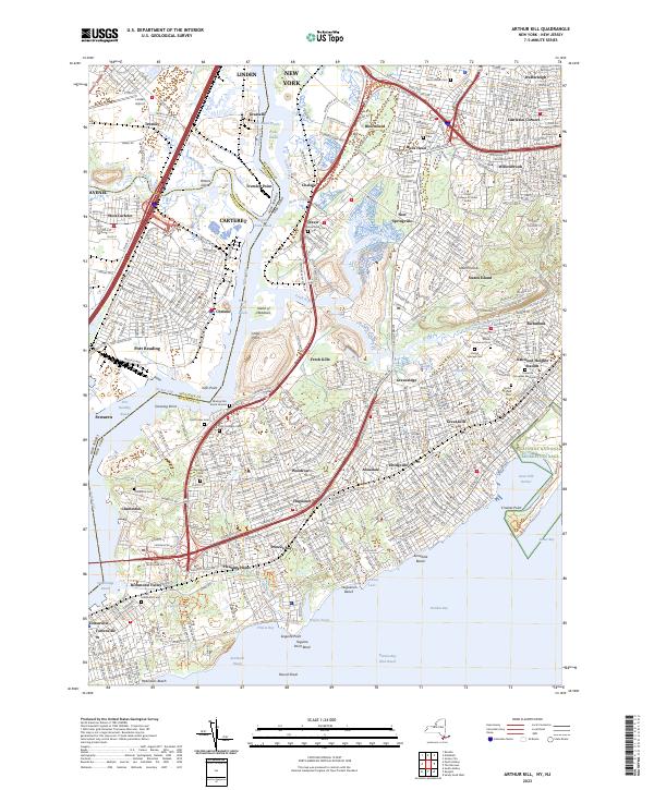
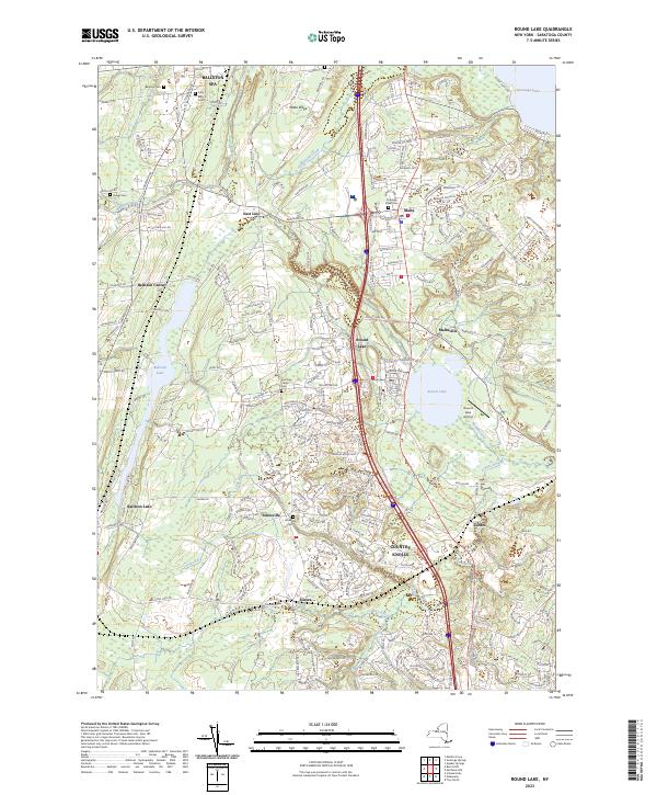
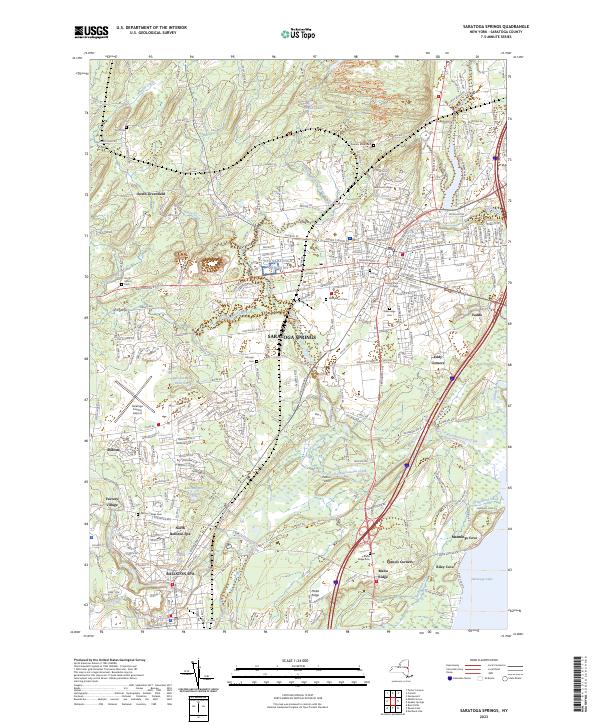
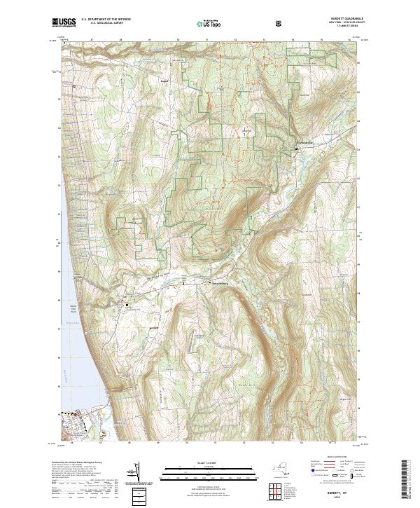
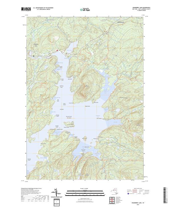
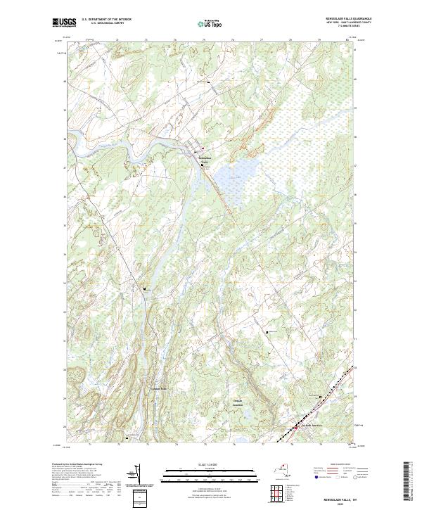
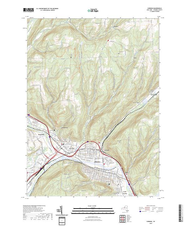
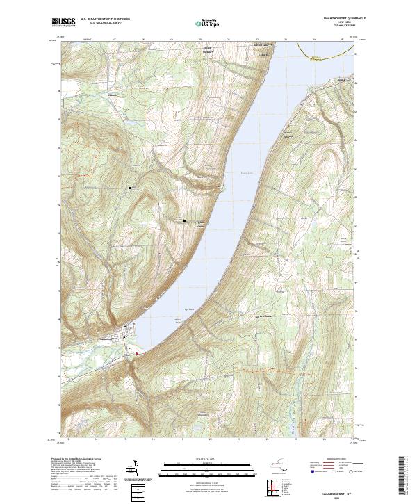
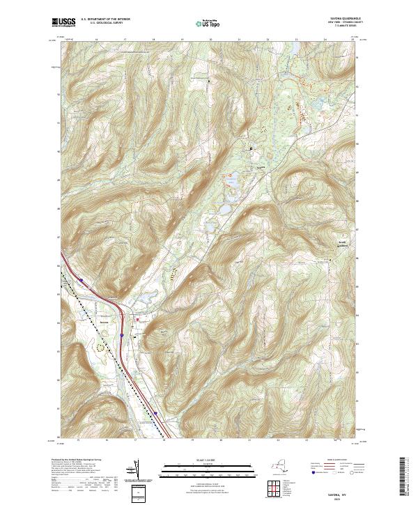
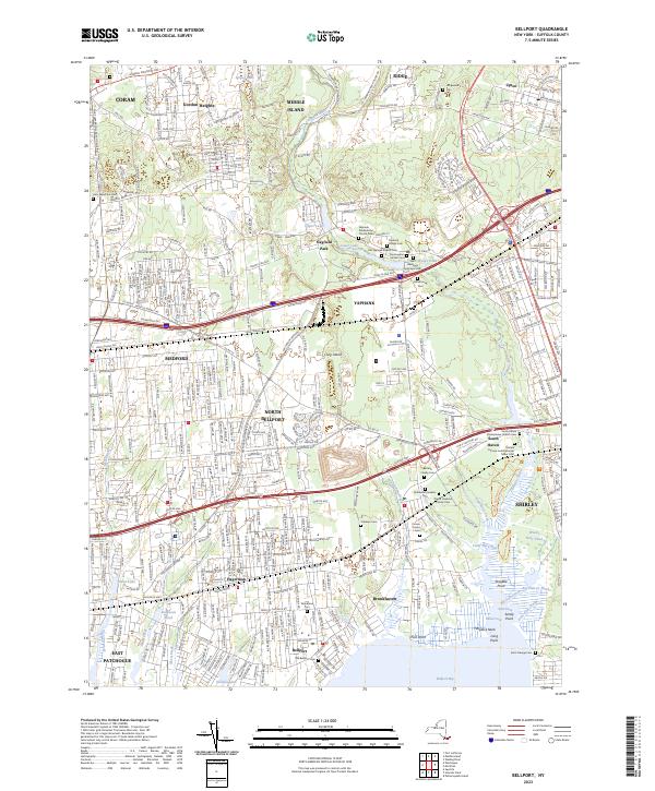
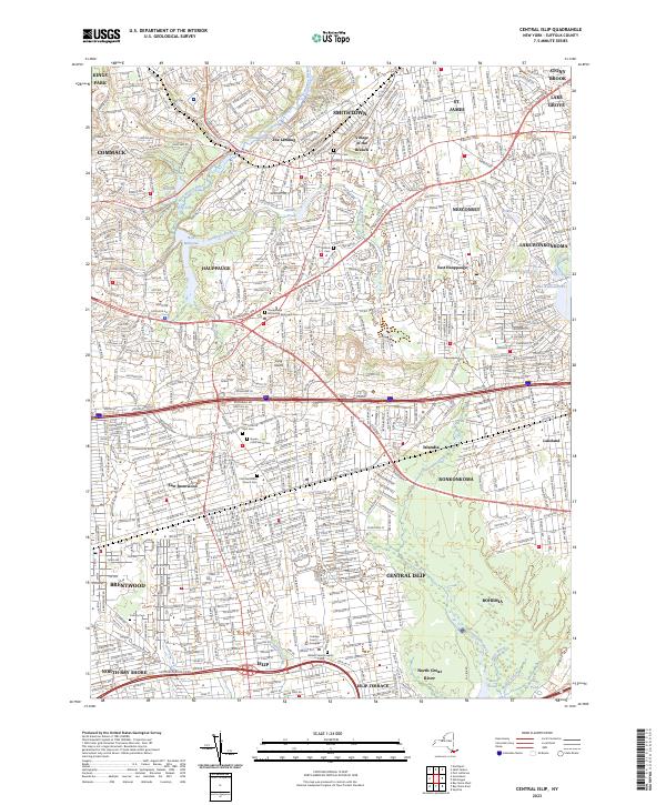
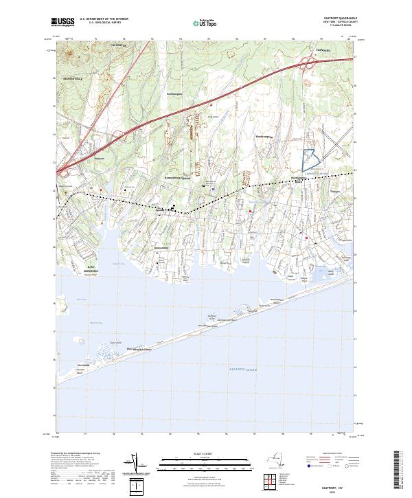
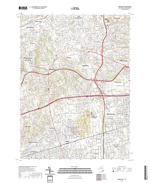
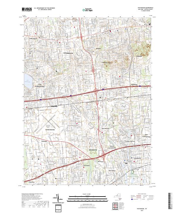
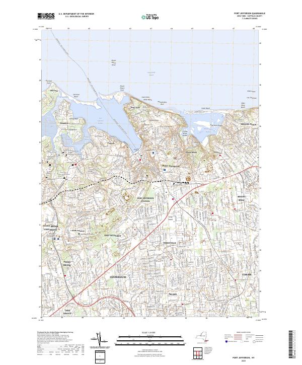
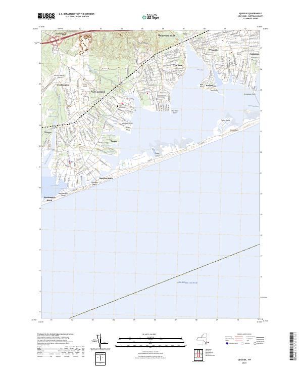
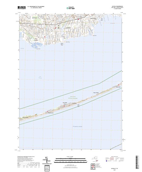
USGS Topographic Maps – Putnam to Suffolk
Counties: Albany to Delaware / Dutchess to Livingston / Madison to Otsego / Putnam to Suffolk / Sullivan to Yates
Browse Topographic Maps: Full State / Historical USGS Topographic Maps
Putnam County


Queens County


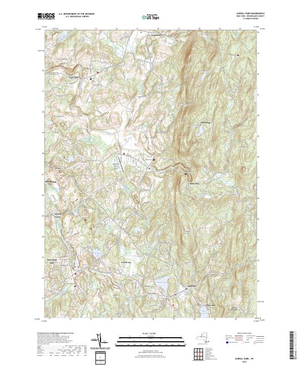
Rensselaer County


Richmond County


Rockland County


Saratoga County


Schenectady County


Schoharie County


Schuyler County


Seneca County


St. Lawrence County


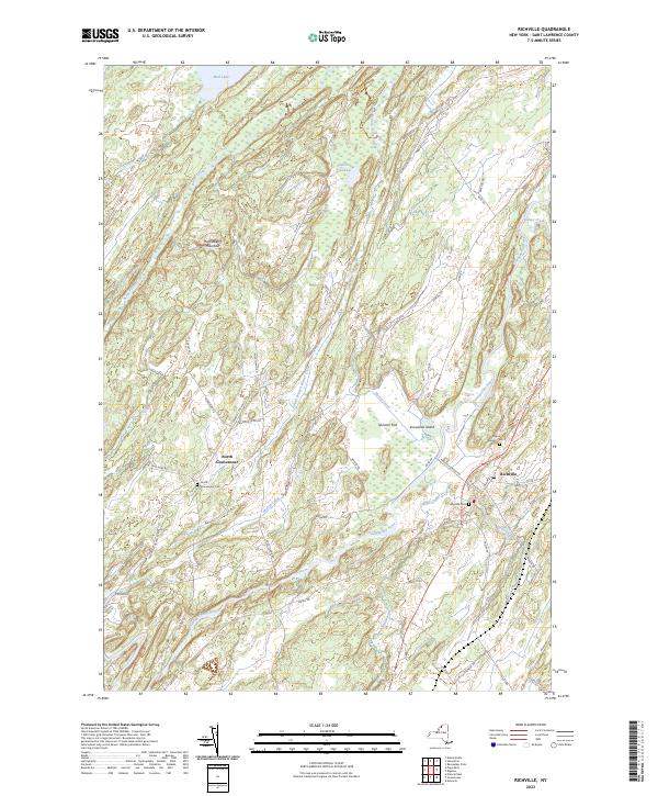


Steuben County


Suffolk County


PAUSE vs Save the Pine Bush and City Funding 💰
PAUSE vs Save the Pine Bush and City Funding 💰
A few years back, People of Albany United for Safe Energy (PAUSE) was created to fight oil trains in Downtown Albany. The concern was the large number of highly volatile oil tanker trains that were parked in Downtown Albany for transfer to ships and pipelines heading down to refineries in New Jersey and New Brunswick.
In more recent years they’ve gotten into the zero waste advocacy – actually as a contactor for the city of Albany to comply with their state mandated landfill permit that calls for the city to have a recycling coordinator position that promotes recycling education throughout the member communities.
While this city grant may help with their advocacy efforts it does make their group tied to the city for funding. Criticize the city’s recycling efforts and their group may be without a city grant.
Save the Pine Bush has never taken city funding. They are fully not for profit and independent, free to criticize and fight any development in the Pine Bush.
In contrast, the Albany Pine Bush Preserve Commission, a state operated and largely state funded corporation, is able to focus on education and managing the land while being subject to all the political concerns such a corporation faces.
May 29, 2016 Afternoon
Good afternoon. Definitely summer out there, with temperatures around 75 degrees here off of Branch Pond Road in the Green Mountain National Forest. A warm but nice afternoon. Black flies are pretty bad but with ample DEET soaking my clothes, cowboy hat and to a lesser extent skin, they are manageable. I strung up a tarp to block out the sun and provide some protection when the inevitable thunderstorms come with the summer heat of recent.
I found a decent way to get out to the Green Mountain National Forest, by taking NY 43 out to Sand Lake, then NY 357 to Brunswick, then NY 2 out to NY 22 then North to NY 7. There are probably a few more small towns you have to go through this way but my trip out here was congestion free and most of the route was posted 55 mph. In contrast, NY 7 is constant stop and go on the weekends from left turning cars, Hoosick Street is awful, and there often are crashes. Kelly Stand Road is open although no camping along the reconstructed area, but then again, there never was much good camping up there.
Today I’m going for a hike back to Stratton Pond but I’m not sure if I will go all the way back. I’m watching the weather. Like yesterday, I want to spend some time in the truly frigid waters of Grout Pond cooling off. Then maybe go for a paddle, assuming that the thunderstorms hold off. I have firewood stored under the tarp for later in case we get rain.
All and all, it’s been a somewhat buggy and hot weekend but it sure beats being stuck home in the heat.
What Does 100 Miles from the Rapp Road Landfill Look Like?
About a year ago, in the Capital Region Solid Waste Plan, the City of Albany proposed creating a mega-solid waste authority to manage the Solid Waste for most of the Eastern Half of New York State. The plan specifically called for creating a regional authority — to service up to nine counties, and cover an area of 100 miles from the center point of the Rapp Road Landfill.
So I decided to make a map, and run some numbers…
100 square miles equals roughly 30,500 square miles, with 21,500 sq miles in New York State and 9,000 sq miles out of State — primarily Southern Vermont, but also most of Western Massachussets, roughly 3/4th of Connecicut, and part of Pennsylvania in the Poconos.
In contrast to 30,500 square miles, Adirondack Park “Blue Line” covers roughly 9,100 sq miles in NY State and the Catskill Park “Blue Line” covers roughly 1,100 sq miles. That includes all land within those parks, publicly and privately owned.
That area, within NY State, covers an area were 2,957,993 persons reported residing in the 2010 census.
That is 2.95 million people, or almost 3 million people, a population greater then Manhattan at 1.5 million persons, and even Brooklyn at 2.5 million.
While no one town or city in the proposed in Authorty is particularly large — the City of Albany is the largest population center at 97,856 followed by Colonie at 81,591, the reality is those numbers add up, when you include the 406 towns and cities in NY State that fall within the 100 mile distance from the Rapp Road Landfill.
Large Cities and Towns in Proposed Authority.
| Town /City | Population |
|---|---|
| Albany city | 97,856 |
| Colonie town | 81,591 |
| Schenectady city | 66,135 |
| Utica city | 62,235 |
| Troy city | 50,129 |
| Poughkeepsie town | 43,341 |
| Cortlandt town | 41,592 |
| Monroe town | 39,912 |
| Clifton Park town | 36,705 |
| Yorktown town | 36,081 |
| Guilderland town | 35,303 |
| Carmel town | 34,305 |
| Rome city | 33,725 |
| Bethlehem town | 33,656 |
| Poughkeepsie city | 32,736 |
| Warwick town | 32,065 |
| Newburgh town | 29,801 |
| Glenville town | 29,480 |
| Rotterdam town | 29,094 |
All Towns and Cities in NY State within 100 miles of Rapp Road Landfill.
Here is entire list of towns partially or wholely contained in the proposed jurisdiction of the Albany Solid Waste Authority (including large cities and towns listed above)…
| Town /City | Population | Area (sq mi) | Pop sq/mi |
|---|---|---|---|
| Albany city | 97,856 | 21 | 4659.8 |
| Colonie town | 81,591 | 57 | 1431.4 |
| Schenectady city | 66,135 | 10 | 6613.5 |
| Utica city | 62,235 | 16 | 3889.7 |
| Troy city | 50,129 | 11 | 4557.2 |
| Poughkeepsie town | 43,341 | 31 | 1398.1 |
| Cortlandt town | 41,592 | 49 | 848.8 |
| Monroe town | 39,912 | 21 | 1900.6 |
| Clifton Park town | 36,705 | 50 | 734.1 |
| Yorktown town | 36,081 | 39 | 925.2 |
| Guilderland town | 35,303 | 58 | 608.7 |
| Carmel town | 34,305 | 40 | 857.6 |
| Rome city | 33,725 | 75 | 449.7 |
| Bethlehem town | 33,656 | 50 | 673.1 |
| Poughkeepsie city | 32,736 | 5 | 6547.2 |
| Warwick town | 32,065 | 105 | 305.4 |
| Newburgh town | 29,801 | 46 | 647.8 |
| Glenville town | 29,480 | 50 | 589.6 |
| Rotterdam town | 29,094 | 36 | 808.2 |
| East Fishkill town | 29,029 | 57 | 509.3 |
| Newburgh city | 28,866 | 4 | 7216.5 |
| Middletown city | 28,086 | 5 | 5617.2 |
| Queensbury town | 27,901 | 64 | 436.0 |
| Wallkill town | 27,426 | 62 | 442.4 |
| Wappinger town | 27,048 | 28 | 966.0 |
| Saratoga Springs city | 26,586 | 28 | 949.5 |
| New Windsor town | 25,244 | 36 | 701.2 |
| Kingston city | 23,893 | 8 | 2986.6 |
| Peekskill city | 23,583 | 5 | 4716.6 |
| Montgomery town | 22,606 | 51 | 443.3 |
| New Hartford town | 22,166 | 25 | 886.6 |
| Fishkill town | 22,107 | 32 | 690.8 |
| Niskayuna town | 21,781 | 15 | 1452.1 |
| Hyde Park town | 21,571 | 39 | 553.1 |
| Halfmoon town | 21,535 | 33 | 652.6 |
| Somers town | 20,434 | 32 | 638.6 |
| Saugerties town | 19,482 | 67 | 290.8 |
| Whitestown town | 18,667 | 27 | 691.4 |
| Amsterdam city | 18,620 | 6 | 3103.3 |
| Milton town | 18,575 | 35 | 530.7 |
| Southeast town | 18,404 | 34 | 541.3 |
| Blooming Grove town | 18,028 | 35 | 515.1 |
| East Greenbush town | 16,473 | 24 | 686.4 |
| Wilton town | 16,173 | 35 | 462.1 |
| Cohoes city | 16,168 | 4 | 4042.0 |
| La Grange town | 15,730 | 40 | 393.3 |
| Gloversville city | 15,665 | 5 | 3133.0 |
| Beacon city | 15,541 | 4 | 3885.3 |
| Thompson town | 15,308 | 87 | 176.0 |
| Stony Point town | 15,059 | 31 | 485.8 |
| Malta town | 14,765 | 31 | 476.3 |
| Moreau town | 14,728 | 43 | 342.5 |
| Glens Falls city | 14,700 | 3 | 4900.0 |
| Beekman town | 14,621 | 30 | 487.4 |
| Shawangunk town | 14,332 | 56 | 255.9 |
| New Paltz town | 14,003 | 34 | 411.9 |
| Oneonta city | 13,901 | 4 | 3475.3 |
| Goshen town | 13,687 | 44 | 311.1 |
| Kent town | 13,507 | 43 | 314.1 |
| German Flatts town | 13,258 | 34 | 389.9 |
| Wawarsing town | 13,157 | 133 | 98.9 |
| Fallsburg town | 12,870 | 79 | 162.9 |
| Schodack town | 12,794 | 63 | 203.1 |
| Kingsbury town | 12,671 | 40 | 316.8 |
| Cornwall town | 12,646 | 28 | 451.6 |
| Highlands town | 12,492 | 33 | 378.5 |
| Lewisboro town | 12,411 | 29 | 428.0 |
| Ulster town | 12,327 | 28 | 440.3 |
| Mamakating town | 12,085 | 98 | 123.3 |
| North Greenbush town | 12,075 | 18 | 670.8 |
| Patterson town | 12,023 | 32 | 375.7 |
| Chester town | 11,981 | 87 | 137.7 |
| Chester town | 11,981 | 25 | 479.2 |
| Brunswick town | 11,941 | 44 | 271.4 |
| Putnam Valley town | 11,809 | 42 | 281.2 |
| Catskill town | 11,775 | 64 | 184.0 |
| Oneida city | 11,393 | 22 | 517.9 |
| Woodbury town | 11,353 | 37 | 306.8 |
| Red Hook town | 11,319 | 40 | 283.0 |
| Lloyd town | 10,863 | 33 | 329.2 |
| Plattekill town | 10,499 | 35 | 300.0 |
| Kirkland town | 10,315 | 33 | 312.6 |
| Watervliet city | 10,254 | 1 | 10254.0 |
| Herkimer town | 10,175 | 32 | 318.0 |
| Liberty town | 9,885 | 80 | 123.6 |
| Ballston town | 9,776 | 30 | 325.9 |
| Pleasant Valley town | 9,672 | 33 | 293.1 |
| Philipstown town | 9,662 | 51 | 189.5 |
| Rensselaer city | 9,392 | 3 | 3130.7 |
| Crawford town | 9,316 | 40 | 232.9 |
| Lenox town | 9,122 | 36 | 253.4 |
| Esopus town | 9,041 | 41 | 220.5 |
| Marcy town | 8,982 | 33 | 272.2 |
| North Elba town | 8,957 | 156 | 57.4 |
| Coxsackie town | 8,918 | 38 | 234.7 |
| Marlborough town | 8,808 | 26 | 338.8 |
| Johnstown city | 8,743 | 4 | 2185.8 |
| Dover town | 8,699 | 56 | 155.3 |
| New Scotland town | 8,648 | 57 | 151.7 |
| Sand Lake town | 8,530 | 36 | 236.9 |
| Kinderhook town | 8,498 | 32 | 265.6 |
| Pawling town | 8,463 | 45 | 188.1 |
| Waterford town | 8,423 | 7 | 1203.3 |
| Stillwater town | 8,287 | 43 | 192.7 |
| Deerpark town | 7,901 | 67 | 117.9 |
| Greenfield town | 7,775 | 67 | 116.0 |
| Schaghticoke town | 7,679 | 51 | 150.6 |
| Frankfort town | 7,636 | 36 | 212.1 |
| Rhinebeck town | 7,548 | 39 | 193.5 |
| Coeymans town | 7,418 | 53 | 140.0 |
| Rochester town | 7,313 | 89 | 82.2 |
| Wawayanda town | 7,266 | 35 | 207.6 |
| Norwich city | 7,190 | 2 | 3595.0 |
| Johnstown town | 7,098 | 71 | 100.0 |
| Mount Hope town | 7,018 | 25 | 280.7 |
| Hoosick town | 6,924 | 63 | 109.9 |
| Hudson city | 6,713 | 2 | 3356.5 |
| Hamilton town | 6,690 | 41 | 163.2 |
| Cairo town | 6,670 | 60 | 111.2 |
| Granville town | 6,669 | 56 | 119.1 |
| Cobleskill town | 6,625 | 30 | 220.8 |
| Corinth town | 6,531 | 58 | 112.6 |
| Mayfield town | 6,495 | 64 | 101.5 |
| Lee town | 6,486 | 45 | 144.1 |
| Fort Edward town | 6,371 | 27 | 236.0 |
| Hurley town | 6,314 | 35 | 180.4 |
| Verona town | 6,293 | 69 | 91.2 |
| Windsor town | 6,274 | 93 | 67.5 |
| Fort Ann town | 6,190 | 111 | 55.8 |
| Westmoreland town | 6,138 | 43 | 142.7 |
| Duanesburg town | 6,122 | 71 | 86.2 |
| Rosendale town | 6,075 | 20 | 303.8 |
| Claverack town | 6,021 | 47 | 128.1 |
| Woodstock town | 5,884 | 67 | 87.8 |
| Sidney town | 5,774 | 50 | 115.5 |
| Pittstown town | 5,735 | 64 | 89.6 |
| Gardiner town | 5,713 | 43 | 132.9 |
| Saratoga town | 5,674 | 42 | 135.1 |
| Marbletown town | 5,607 | 55 | 101.9 |
| Greene town | 5,604 | 75 | 74.7 |
| Walton town | 5,576 | 97 | 57.5 |
| Amsterdam town | 5,566 | 30 | 185.5 |
| Hamptonburgh town | 5,561 | 26 | 213.9 |
| Vienna town | 5,440 | 95 | 57.3 |
| Vernon town | 5,408 | 37 | 146.2 |
| Ghent town | 5,402 | 45 | 120.0 |
| Broadalbin town | 5,260 | 39 | 134.9 |
| Eaton town | 5,255 | 45 | 116.8 |
| Colesville town | 5,232 | 79 | 66.2 |
| Oneonta town | 5,229 | 33 | 158.5 |
| Mechanicville city | 5,196 | 0 | |
| Delhi town | 5,117 | 64 | 80.0 |
| North Salem town | 5,104 | 22 | 232.0 |
| Northumberland town | 5,087 | 32 | 159.0 |
| Ticonderoga town | 5,042 | 88 | 57.3 |
| Little Falls city | 4,946 | 3 | 1648.7 |
| Greenwich town | 4,942 | 44 | 112.3 |
| Union Vale town | 4,877 | 37 | 131.8 |
| Moriah town | 4,798 | 71 | 67.6 |
| Nassau town | 4,789 | 45 | 106.4 |
| Washington town | 4,741 | 58 | 81.7 |
| Boonville town | 4,555 | 72 | 63.3 |
| Poestenkill town | 4,530 | 32 | 141.6 |
| Trenton town | 4,498 | 43 | 104.6 |
| Minisink town | 4,490 | 23 | 195.2 |
| Amenia town | 4,436 | 43 | 103.2 |
| Olive town | 4,419 | 65 | 68.0 |
| Paris town | 4,411 | 31 | 142.3 |
| Unadilla town | 4,392 | 46 | 95.5 |
| Minden town | 4,297 | 51 | 84.3 |
| Deerfield town | 4,273 | 33 | 129.5 |
| Bethel town | 4,255 | 90 | 47.3 |
| Greenport town | 4,165 | 20 | 208.3 |
| Charlton town | 4,133 | 32 | 129.2 |
| Chatham town | 4,128 | 53 | 77.9 |
| Warrensburg town | 4,094 | 64 | 64.0 |
| Athens town | 4,089 | 28 | 146.0 |
| Sherburne town | 4,048 | 43 | 94.1 |
| Whitehall town | 4,042 | 58 | 69.7 |
| Norwich town | 3,998 | 42 | 95.2 |
| Oxford town | 3,901 | 60 | 65.0 |
| Otsego town | 3,900 | 59 | 66.1 |
| Mohawk town | 3,844 | 35 | 109.8 |
| Stanford town | 3,823 | 50 | 76.5 |
| Floyd town | 3,819 | 34 | 112.3 |
| Argyle town | 3,782 | 57 | 66.4 |
| Rockland town | 3,775 | 95 | 39.7 |
| Middletown town | 3,750 | 97 | 38.7 |
| Middleburgh town | 3,746 | 49 | 76.4 |
| Greenville town | 3,739 | 39 | 95.9 |
| Greenville town | 3,739 | 30 | 124.6 |
| Canajoharie town | 3,730 | 43 | 86.7 |
| Livingston town | 3,646 | 38 | 95.9 |
| Perth town | 3,646 | 26 | 140.2 |
| Tuxedo town | 3,624 | 49 | 74.0 |
| Copake town | 3,615 | 42 | 86.1 |
| Neversink town | 3,557 | 86 | 41.4 |
| Galway town | 3,545 | 45 | 78.8 |
| Lake George town | 3,515 | 32 | 109.8 |
| Schuyler town | 3,420 | 40 | 85.5 |
| New Baltimore town | 3,370 | 43 | 78.4 |
| Westerlo town | 3,361 | 58 | 57.9 |
| White Creek town | 3,356 | 48 | 69.9 |
| Lake Luzerne town | 3,347 | 54 | 62.0 |
| Manheim town | 3,334 | 29 | 115.0 |
| Bainbridge town | 3,308 | 34 | 97.3 |
| Palatine town | 3,240 | 41 | 79.0 |
| Hancock town | 3,224 | 161 | 20.0 |
| Schoharie town | 3,205 | 29 | 110.5 |
| Otego town | 3,115 | 45 | 69.2 |
| Shandaken town | 3,085 | 120 | 25.7 |
| Sherrill city | 3,071 | 2 | 1535.5 |
| Callicoon town | 3,057 | 48 | 63.7 |
| Milford town | 3,044 | 47 | 64.8 |
| North East town | 3,031 | 43 | 70.5 |
| Annsville town | 3,012 | 60 | 50.2 |
| Madison town | 3,008 | 41 | 73.4 |
| Davenport town | 2,965 | 52 | 57.0 |
| Guilford town | 2,922 | 61 | 47.9 |
| Stephentown town | 2,903 | 58 | 50.1 |
| Afton town | 2,851 | 46 | 62.0 |
| Stockport town | 2,815 | 13 | 216.5 |
| Berne town | 2,794 | 64 | 43.7 |
| Hunter town | 2,732 | 90 | 30.4 |
| Durham town | 2,725 | 49 | 55.6 |
| Salem town | 2,715 | 52 | 52.2 |
| Florida town | 2,696 | 51 | 52.9 |
| Knox town | 2,692 | 41 | 65.7 |
| New Berlin town | 2,682 | 46 | 58.3 |
| Delaware town | 2,670 | 35 | 76.3 |
| Northampton town | 2,670 | 34 | 78.5 |
| St. Johnsville town | 2,631 | 17 | 154.8 |
| Green Island town | 2,620 | 0 | |
| Richmondville town | 2,610 | 30 | 87.0 |
| Russia town | 2,587 | 60 | 43.1 |
| Sangerfield town | 2,561 | 30 | 85.4 |
| Brookfield town | 2,545 | 78 | 32.6 |
| Highland town | 2,530 | 52 | 48.7 |
| Glen town | 2,507 | 39 | 64.3 |
| Roxbury town | 2,502 | 87 | 28.8 |
| Pine Plains town | 2,473 | 31 | 79.8 |
| Lumberland town | 2,468 | 49 | 50.4 |
| Laurens town | 2,424 | 42 | 57.7 |
| Franklin town | 2,411 | 81 | 29.8 |
| Sanford town | 2,407 | 91 | 26.5 |
| Johnsburg town | 2,395 | 206 | 11.6 |
| Richfield town | 2,388 | 32 | 74.6 |
| Milan town | 2,370 | 36 | 65.8 |
| Easton town | 2,336 | 63 | 37.1 |
| Bolton town | 2,326 | 90 | 25.8 |
| New Lebanon town | 2,305 | 35 | 65.9 |
| Newport town | 2,302 | 32 | 71.9 |
| Hartford town | 2,269 | 43 | 52.8 |
| Stamford town | 2,267 | 48 | 47.2 |
| Worcester town | 2,220 | 46 | 48.3 |
| Marshall town | 2,131 | 32 | 66.6 |
| Grafton town | 2,130 | 45 | 47.3 |
| Princetown town | 2,115 | 24 | 88.1 |
| Middlefield town | 2,114 | 63 | 33.6 |
| Hartwick town | 2,110 | 40 | 52.8 |
| Stockbridge town | 2,103 | 31 | 67.8 |
| Winfield town | 2,086 | 23 | 90.7 |
| Colchester town | 2,077 | 142 | 14.6 |
| Esperance town | 2,076 | 20 | 103.8 |
| Hadley town | 2,048 | 41 | 50.0 |
| Stuyvesant town | 2,027 | 26 | 78.0 |
| Crown Point town | 2,024 | 81 | 25.0 |
| Cambridge town | 2,021 | 36 | 56.1 |
| Augusta town | 2,020 | 27 | 74.8 |
| Lincoln town | 2,012 | 25 | 80.5 |
| Providence town | 1,995 | 45 | 44.3 |
| Nelson town | 1,980 | 44 | 45.0 |
| Clermont town | 1,965 | 19 | 103.4 |
| Salisbury town | 1,958 | 108 | 18.1 |
| Germantown town | 1,954 | 13 | 150.3 |
| Western town | 1,951 | 54 | 36.1 |
| Carlisle town | 1,948 | 34 | 57.3 |
| Remsen town | 1,929 | 36 | 53.6 |
| Hillsdale town | 1,927 | 48 | 40.1 |
| Oppenheim town | 1,924 | 56 | 34.4 |
| Maryland town | 1,897 | 51 | 37.2 |
| Watson town | 1,881 | 116 | 16.2 |
| Berlin town | 1,880 | 59 | 31.9 |
| Morris town | 1,878 | 39 | 48.2 |
| Hebron town | 1,853 | 56 | 33.1 |
| Sharon town | 1,846 | 39 | 47.3 |
| Rensselaerville town | 1,843 | 62 | 29.7 |
| Edmeston town | 1,826 | 44 | 41.5 |
| Webb town | 1,807 | 484 | 3.7 |
| Plymouth town | 1,804 | 42 | 43.0 |
| Jackson town | 1,800 | 37 | 48.6 |
| Butternuts town | 1,786 | 53 | 33.7 |
| Leyden town | 1,785 | 33 | 54.1 |
| North Norwich town | 1,783 | 28 | 63.7 |
| Seward town | 1,763 | 36 | 49.0 |
| Fenner town | 1,726 | 31 | 55.7 |
| Root town | 1,715 | 51 | 33.6 |
| Deposit town | 1,712 | 44 | 38.9 |
| Canaan town | 1,710 | 36 | 47.5 |
| Windham town | 1,703 | 45 | 37.8 |
| Ashland town | 1,695 | 25 | 67.8 |
| Ephratah town | 1,682 | 39 | 43.1 |
| Kortright town | 1,675 | 62 | 27.0 |
| Gallatin town | 1,668 | 39 | 42.8 |
| Coventry town | 1,655 | 48 | 34.5 |
| Schroon town | 1,654 | 141 | 11.7 |
| Austerlitz town | 1,654 | 48 | 34.5 |
| Fairfield town | 1,627 | 41 | 39.7 |
| DeRuyter town | 1,589 | 31 | 51.3 |
| Little Falls town | 1,587 | 22 | 72.1 |
| Columbia town | 1,580 | 35 | 45.1 |
| Harpersfield town | 1,577 | 42 | 37.5 |
| Ancram town | 1,573 | 42 | 37.5 |
| Wright town | 1,539 | 28 | 55.0 |
| Forestport town | 1,535 | 78 | 19.7 |
| Meredith town | 1,529 | 58 | 26.4 |
| Petersburgh town | 1,525 | 41 | 37.2 |
| West Turin town | 1,524 | 102 | 14.9 |
| Bridgewater town | 1,522 | 23 | 66.2 |
| Tusten town | 1,515 | 48 | 31.6 |
| Litchfield town | 1,513 | 30 | 50.4 |
| Fulton town | 1,442 | 65 | 22.2 |
| Jefferson town | 1,410 | 43 | 32.8 |
| Horicon town | 1,389 | 71 | 19.6 |
| Lewis town | 1,382 | 65 | 21.3 |
| Charleston town | 1,373 | 42 | 32.7 |
| Cochecton town | 1,372 | 37 | 37.1 |
| Pittsfield town | 1,366 | 38 | 35.9 |
| Springfield town | 1,358 | 45 | 30.2 |
| Indian Lake town | 1,352 | 266 | 5.1 |
| Lebanon town | 1,332 | 43 | 31.0 |
| Smithville town | 1,330 | 50 | 26.6 |
| Hamden town | 1,323 | 60 | 22.1 |
| Masonville town | 1,320 | 54 | 24.4 |
| Westport town | 1,312 | 66 | 19.9 |
| Taghkanic town | 1,310 | 40 | 32.8 |
| Gilboa town | 1,307 | 59 | 22.2 |
| Andes town | 1,301 | 112 | 11.6 |
| Smithfield town | 1,288 | 24 | 53.7 |
| Smyrna town | 1,280 | 42 | 30.5 |
| Tompkins town | 1,247 | 104 | 12.0 |
| Lyonsdale town | 1,227 | 70 | 17.5 |
| Cherry Valley town | 1,223 | 40 | 30.6 |
| Thurman town | 1,219 | 92 | 13.3 |
| Edinburg town | 1,214 | 67 | 18.1 |
| Caroga town | 1,205 | 54 | 22.3 |
| Greig town | 1,199 | 94 | 12.8 |
| Elizabethtown town | 1,163 | 83 | 14.0 |
| Summit town | 1,148 | 37 | 31.0 |
| Warren town | 1,143 | 38 | 30.1 |
| Burlington town | 1,140 | 45 | 25.3 |
| New Lisbon town | 1,114 | 44 | 25.3 |
| Keene town | 1,105 | 156 | 7.1 |
| Steuben town | 1,100 | 42 | 26.2 |
| Otselic town | 1,054 | 38 | 27.7 |
| Preston town | 1,044 | 35 | 29.8 |
| Danube town | 1,039 | 29 | 35.8 |
| Fremont town | 1,008 | 51 | 19.8 |
| Ohio town | 1,002 | 307 | 3.3 |
| Exeter town | 987 | 32 | 30.8 |
| Columbus town | 975 | 37 | 26.4 |
| Georgetown town | 974 | 40 | 24.4 |
| Broome town | 973 | 48 | 20.3 |
| Jewett town | 953 | 50 | 19.1 |
| Hampton town | 938 | 22 | 42.6 |
| Plainfield town | 915 | 29 | 31.6 |
| Kingston town | 889 | 7 | 127.0 |
| McDonough town | 886 | 39 | 22.7 |
| Westford town | 868 | 33 | 26.3 |
| Day town | 856 | 69 | 12.4 |
| Forestburgh town | 819 | 56 | 14.6 |
| Minerva town | 809 | 160 | 5.1 |
| Lexington town | 805 | 79 | 10.2 |
| Pitcher town | 803 | 28 | 28.7 |
| Lake Pleasant town | 781 | 198 | 3.9 |
| Stony Creek town | 767 | 83 | 9.2 |
| Norway town | 762 | 35 | 21.8 |
| Stark town | 757 | 31 | 24.4 |
| Clinton town | 737 | 38 | 19.4 |
| Conesville town | 734 | 40 | 18.4 |
| Long Lake town | 711 | 449 | 1.6 |
| Roseboom town | 711 | 33 | 21.5 |
| Prattsville town | 700 | 19 | 36.8 |
| Hague town | 699 | 80 | 8.7 |
| Ava town | 676 | 37 | 18.3 |
| Wells town | 674 | 177 | 3.8 |
| Dresden town | 652 | 54 | 12.1 |
| Bovina town | 633 | 44 | 14.4 |
| Stratford town | 610 | 76 | 8.0 |
| Putnam town | 609 | 35 | 17.4 |
| Pharsalia town | 593 | 39 | 15.2 |
| Denning town | 551 | 105 | 5.2 |
| Bleecker town | 533 | 59 | 9.0 |
| Newcomb town | 436 | 233 | 1.9 |
| Hope town | 403 | 41 | 9.8 |
| Lincklaen town | 396 | 26 | 15.2 |
| Blenheim town | 377 | 34 | 11.1 |
| Decatur town | 353 | 20 | 17.7 |
| Inlet town | 333 | 66 | 5.0 |
| Arietta town | 304 | 329 | 0.9 |
| Halcott town | 258 | 23 | 11.2 |
| North Hudson town | 240 | 185 | 1.3 |
| Hardenburgh town | 238 | 80 | 3.0 |
| Benson town | 192 | 83 | 2.3 |
| Morehouse town | 86 | 194 | 0.4 |
| Total | 2,957,993 | 21,462 | 386.0 |
Land Uses in Mohawk Valley
Today we look at land use in the Mohawk Valley. Here a series of maps along the Mohawk River, showing land use as a quad color image, based on NASS/Landstat data from the region. The images below use the following colors:
- Red – Developed areas such as cities, highways, and other industrialized or otherwise developed parts.
- Yellow – Agricultural areas, including all farm crops such as corn, hay, alfalpha, and other truck crops
- Green – Woodland, brush, and barren lands
- Blue – Water bodies
These images should pick up detail up to about 300 feet in any particular direction.
Overwhelmingly, the Mohawk Valley is about agriculture, although as elevation increases and farming is no longer profitable, then farm fields revert to tree cover. And while their are certainly single family homes and other rural residents under the tree cover, by no means is development the overwhelming use of the land.
Utica Area.
Most of the farming in the Utica-area, occurs south of the city, due to the sandy soils, short growing season, and elevation making farming unprofitable north of city. This map may actually distort how much land north of city is actually farmed, as many of farm fields shown on this map have been abandoned and are slowly reverting to brush and ultimately tree cover.
Canajoharie Area.
As you get around Canajoharie the amount of farming activity picks up dramatically, and except for a small section right next to the Mohawk Valley, most of this area is not developed.
Albany-Schenectady Area.
Heading towards Albany-Schenectady, you see more development, but notice how you don’t have to get far from the city for forest cover to be dominant feature, and not agriculture. A lot of this is rural residents, with acreage, and hobby farms around here. Farming stops when you get up on the Rensselear Plateau, although the farm lands right around Brunswick are quite profitable, until you start heading towards Grafton where almost all farming stops.
Land Uses in Mohawk Valley
How much of the Mohawk Valley is developed, how much is farmed, and how much is forested? These images give you a clear overview, with all agricultural cropland and pasture colored yellow, all forest lands colored green, waterways colored blue, and developed areas are red. This is based on LANDSTAT and USDA NASS Croplayer data.
Overwhelmingly, the Mohawk Valley is about agriculture, although as elevation increases and farming is no longer profitable, then farm fields revert to tree cover. And while their are certainly single family homes and other rural residents under the tree cover, by no means is development the overwhelming use of the land.
Most of the farming in the Utica-area, occurs south of the city, due to the sandy soils, short growing season, and elevation making farming unprofitable north of city. This map may actually distort how much land north of city is actually farmed, as many of farm fields shown on this map have been abandoned and are slowly reverting to brush and ultimately tree cover.
As you get around Canajoharie the amount of farming activity picks up dramatically, and except for a small section right next to the Mohawk Valley, most of this area is not developed.
Heading towards Albany-Schenectady, you see more development, but notice how you don’t have to get far from the city for forest cover to be dominant feature, and not agriculture. A lot of this is rural residents, with acreage, and hobby farms around here. Farming stops when you get up on the Rensselear Plateau, although the farm lands right around Brunswick are quite profitable, until you start heading towards Grafton where almost all farming stops.