Search Results for: photo fire 4

Deer River State Forest

In south-western Franklin County there is a state forest with approximently 12,00 acres of land, and almost 12 miles of truck trail. Most of it is wooded and moderately hilly, with acres of swamps and rivers, with substainal access via truck trail.

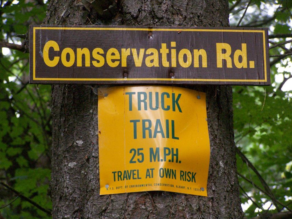
Truck Trail

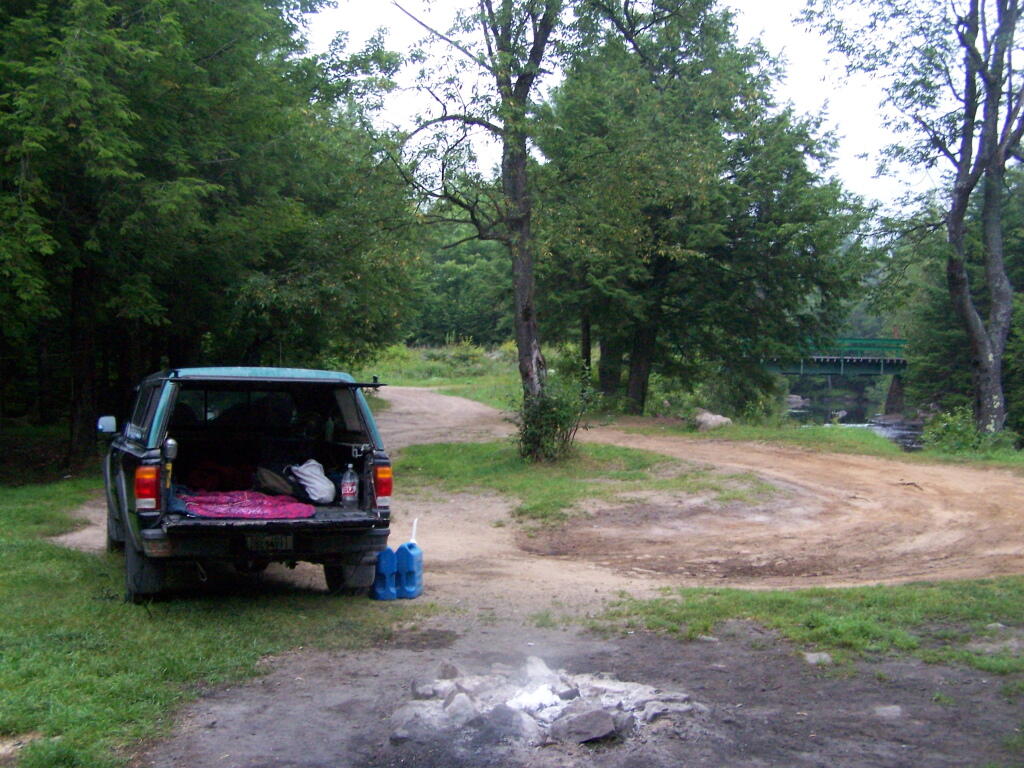
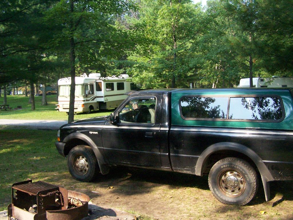
There are three campsites along Conservation Road, with one at Iron Bridge on the Deer River. This is a popular site, one with limited nearby firewood. You probably could drive to another portion of the forest, chop up some wood, and drive back so you have enough for camping.

Packing Up

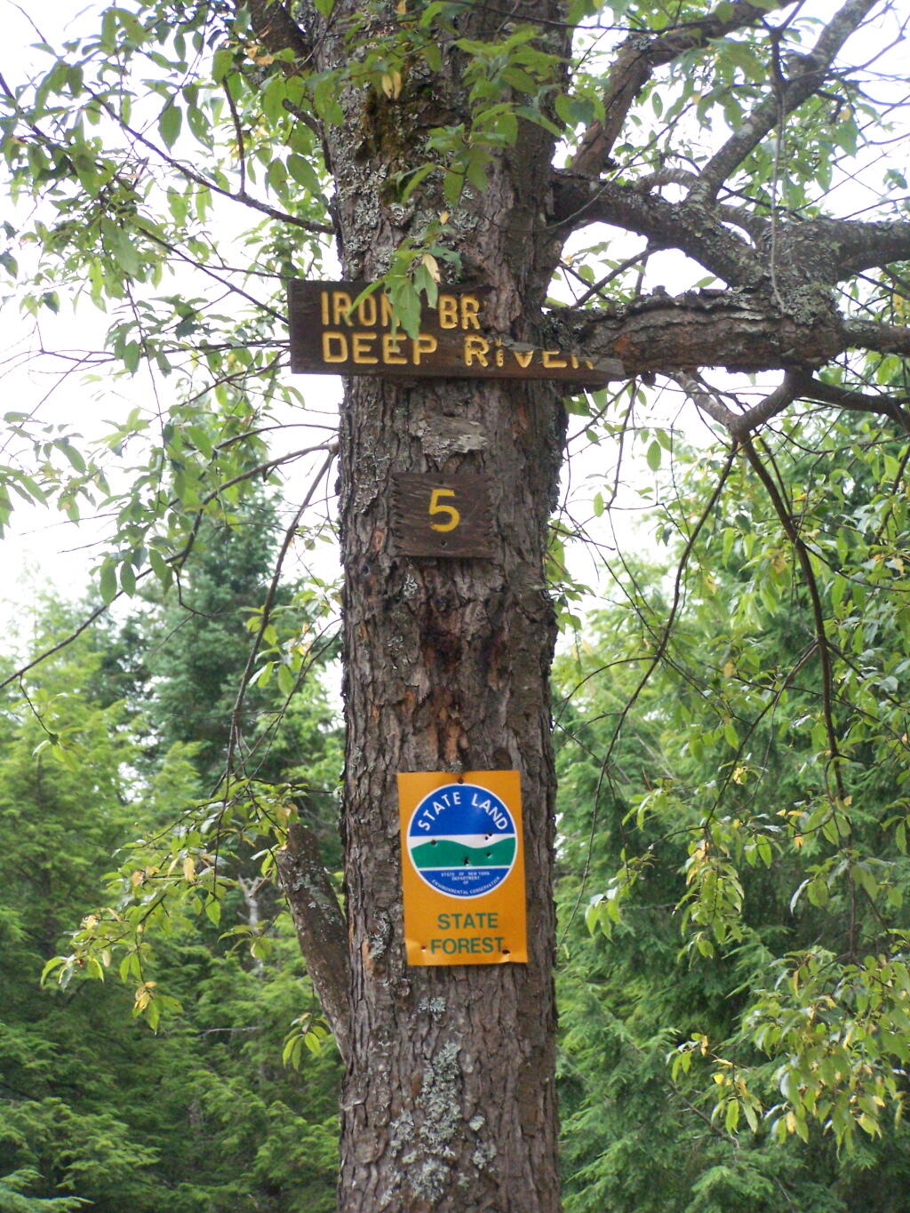
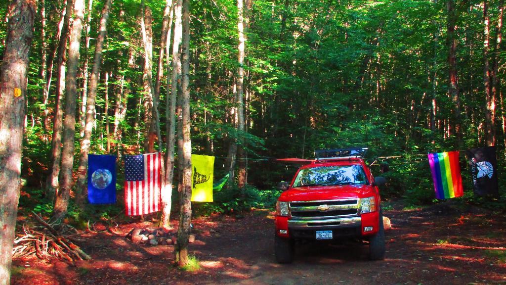
The site is number 5, although I was only able to find sites one and two nearby. The other ones must be on other roads. I didn’t drive all over Deer River State Forest, due to the noise the hubs where making on the truck, worrying me about a potential breakdown/failure with the bad hubs.

Site Name

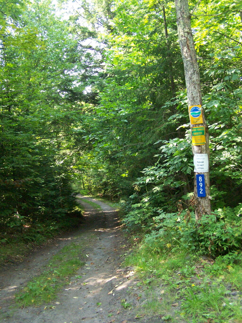
Parts of Conservation Road where relatively rough and potholed, but compared to some of the other roads it wasn’t all that bad.

Conservation Road

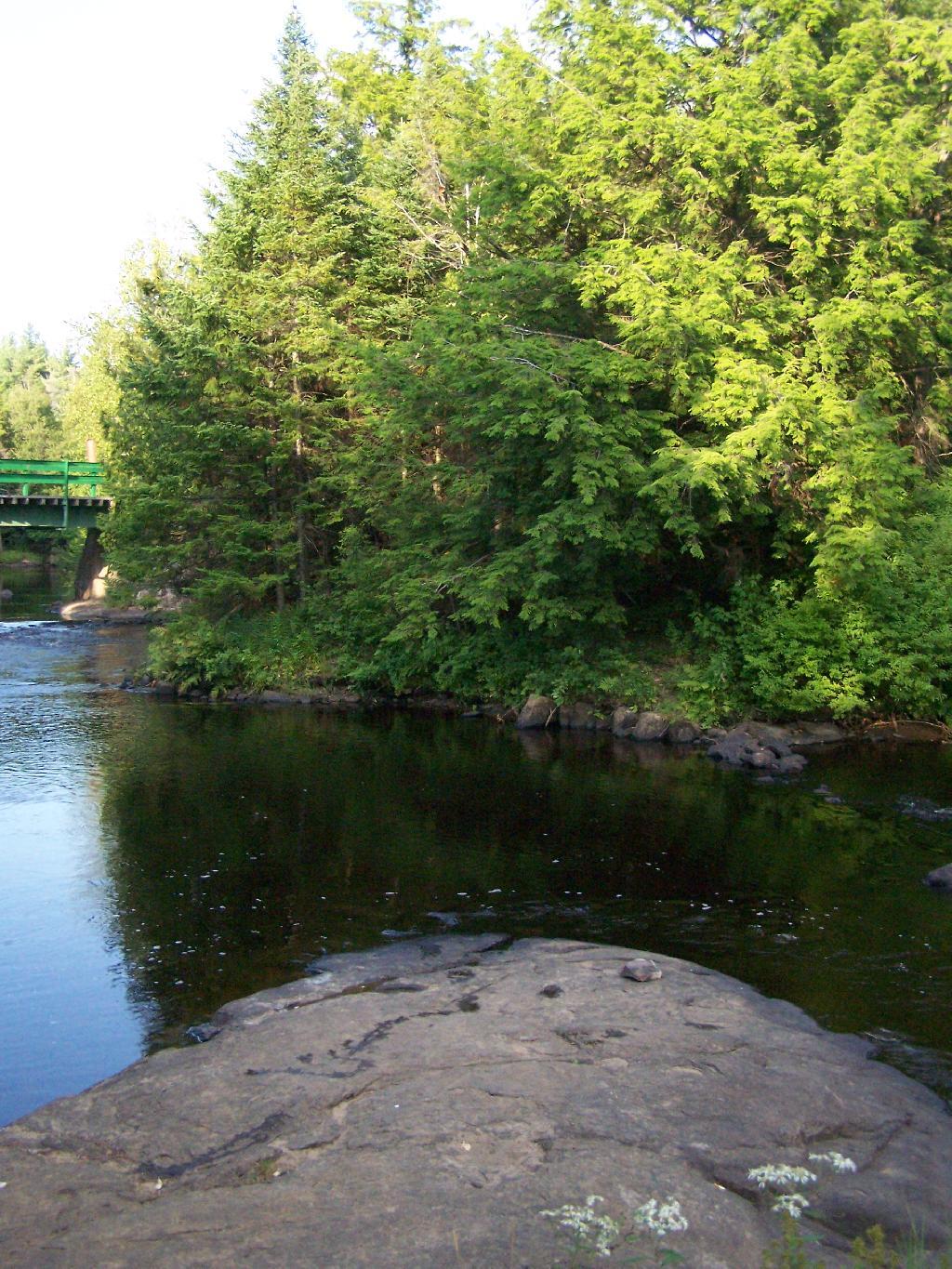
At Iron Bridge, there is a popular swimming hole. I went in both in them evening to cool off and in the morning to bathe.

Swimming Hole

Right now, the area is only open to pickup trucks, horses, mountain bikers and hikers. Hopefully the DEC will open it up to legal ATV access, as was planned under the Governor Pataki administration, prior to a lawsuit brought by the enviros.

Here is a map of a Deer River State Forest where I camped. There are many other areas of the state forest I could have explored if I had spent more time up there. It was a nice place.


View Hikes of 2009 in a larger map
Chazy Lake Primative Campsite

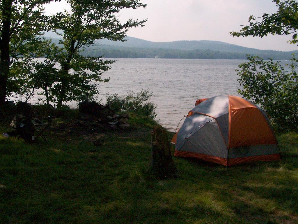
On Lake Chazy, the state owns about 800 feet of lake front as State Forest. There is three campsites here, one of them on the lake, and two along a private road / driveway.

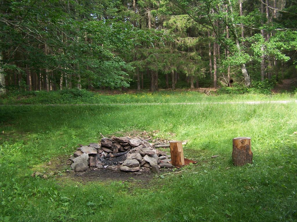
Fireplace

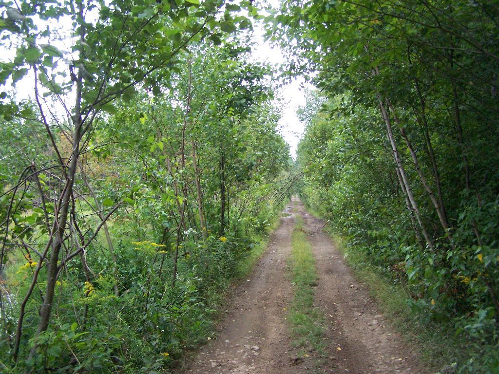
This parcel exists on the far end of Wilfred King Road, which runs for about 5 miles before you reach the end where the parking area and the private drive you take down to the parcel.

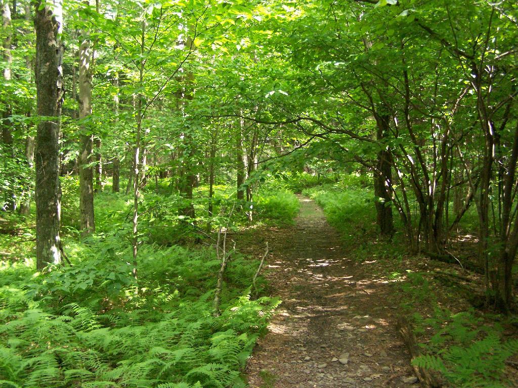
Trail on In

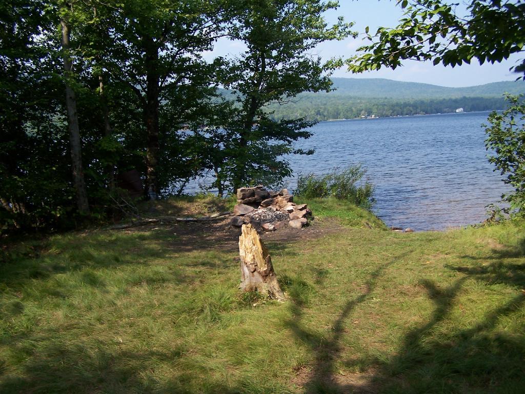
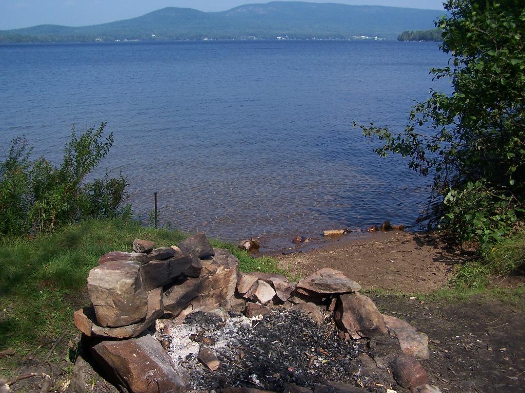
The site on the water has great views, a little fireplace, and lots of space for setting up two or three tents. It’s just as much a paradise as the photo suggests.

Gear All Packed Up

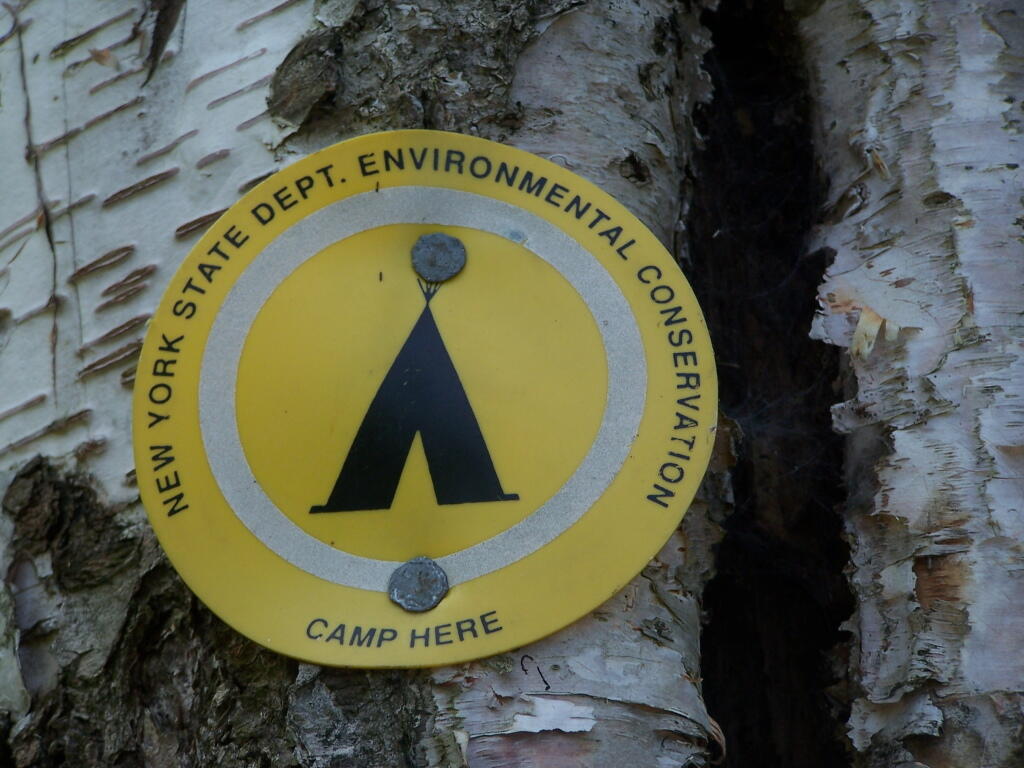
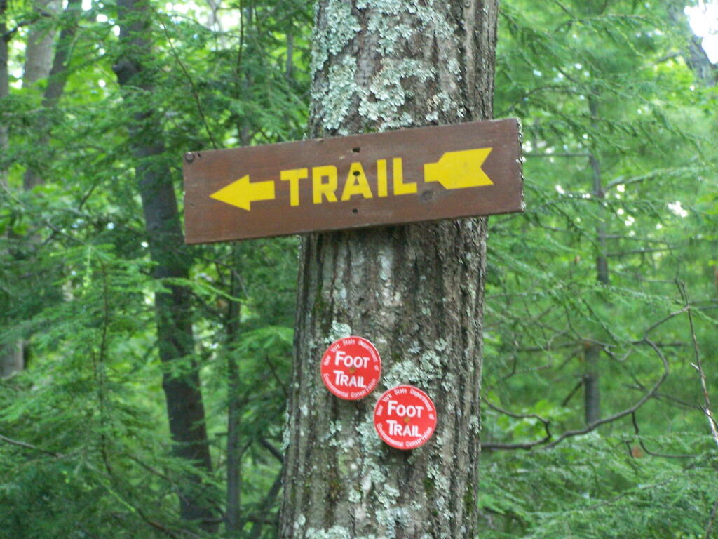
“Camp Here” marker shows that this is a designated site. When your in the Catskills or Adirondacks they tend to be fairly strict about the 150 feet rule from water and roads, unless you are a designated site.

Camp Here Marker

Down by the lake in the afternoon. Imagine a book in my hands, and you can see how relaxed I am.

Afternoon

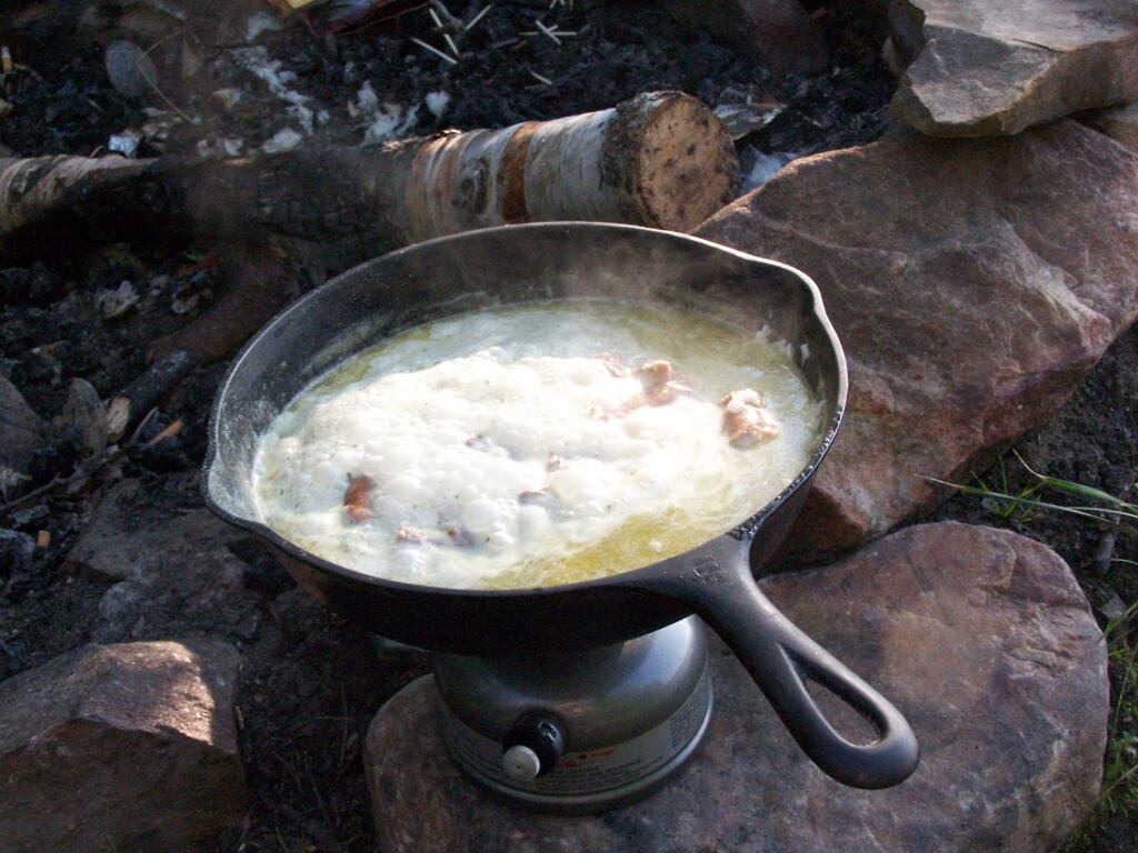
Cookng some dinner on my camp stove. Tonight I’m having sausage in Rice-a-Roni. The image makes it look like some kind of sinster stew that I’m making up, make out of small children I boiled up and mixed with grits. It’s not that for sure, and was far more delicious.

Cooking Dinner

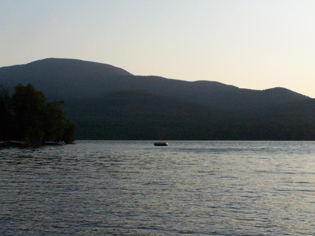
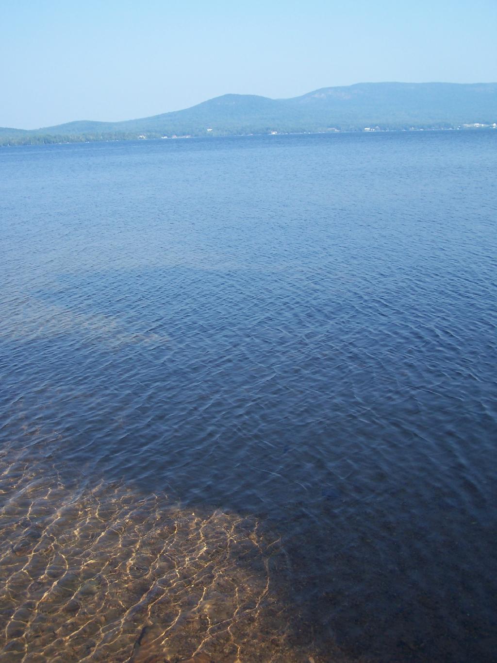
If you go out in the lake a little ways for a wade, you get a good view of Lyon Mountain. The water is shallow, and if it’s as hot as it was when I was there, truly delightful. While you will have to drive approximately 10 miles around the lake to get to the parking area to climb Lyon Mountain, but it’s beautiful with the fire tower up top.

Lyon Mountain

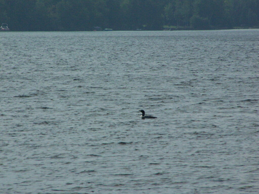
Sitting down at the lake you could hear the errie call of the loon.

Loon

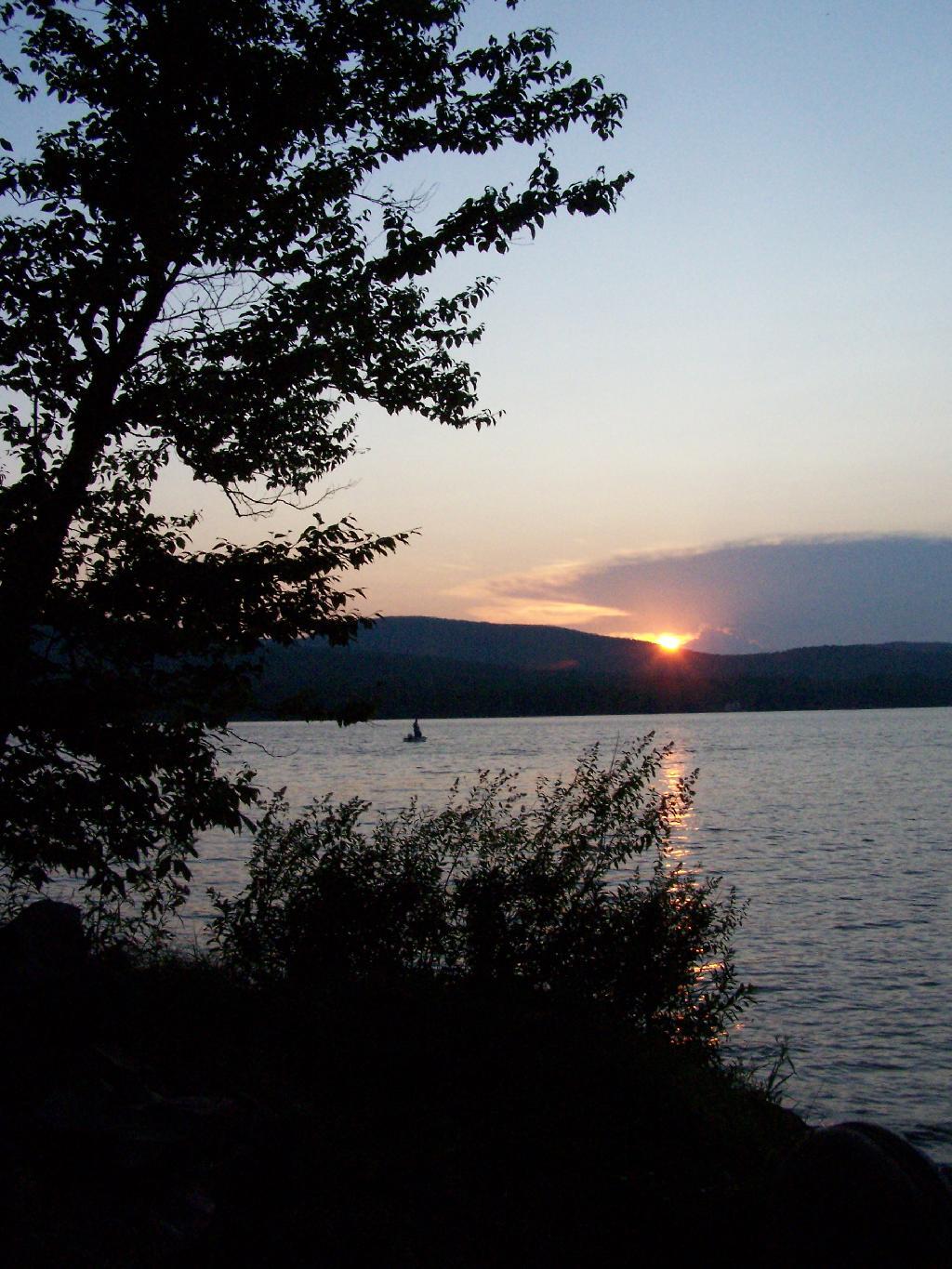
The site has good south-west views over the Lyon Mountain where the sunsets in the evening. The sunsets from here are amazing, as you watch the fire burn. The wood supply is limited, so you may consider packing in your own wood supply.

Dusk

The important thing is that if you go there, make sure to drive all the way to the end of the road, past where the blacktop ends and after where the state forest starts. You will know when your there, and if you don’t see signs for the state parcel or the campsites, you haven’t driven far enough.

Also, while it’s posted against driving motor vehicles past the parking lot, as it is a private driveway, you can drive almost up to the lake front campsite if you don’t want to walk with the stuff in. That said, it’s only about a 1/4 mile hike from the parking area, so it’s fine to make multiple trips throughout the night and day like I did.

Swimming Hole

Here is the site on Google Maps. The hikers are where you park, the trail follows the driveway for a while, and then turns for about 150 feet to the campsite right on the water.


View Hikes of 2009 in a larger map
Cumberland Head State Park

The first night of my vacation it was very hot and sticky out. By the time I had reached Plattsburgh I decided I would just find a campsite at Cumberland Head State Park. I probably could have gone to a nicer state park, such as Malcom Reservation or AuSable Point, but I wanted to be close to Plattsburgh and spend a lot of time visiting old haunts in the town and up at Point Au Roche.

Swimming Beach

Once I got there I dug out my swimming truck, and ran for the swimming beach, as I was hot! Driving up from Albany in all the heat and humidity, I got a terrible sunburn through the windows of my truck. I also don’t have air conditioning, and the humidity was pretty extreme on this Sunday morning.

Camping at Cumberland Head State Park

The water was nice. The campsites on Cumberland Head State Park are pretty close together, and are like camping in a giant field with a bunch of other people. I’m not a fan of state campgrounds at any rate, but it beat trying to hike up Pok-O-Moonshine and look out to nothing from the fire tower.

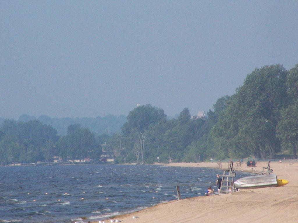
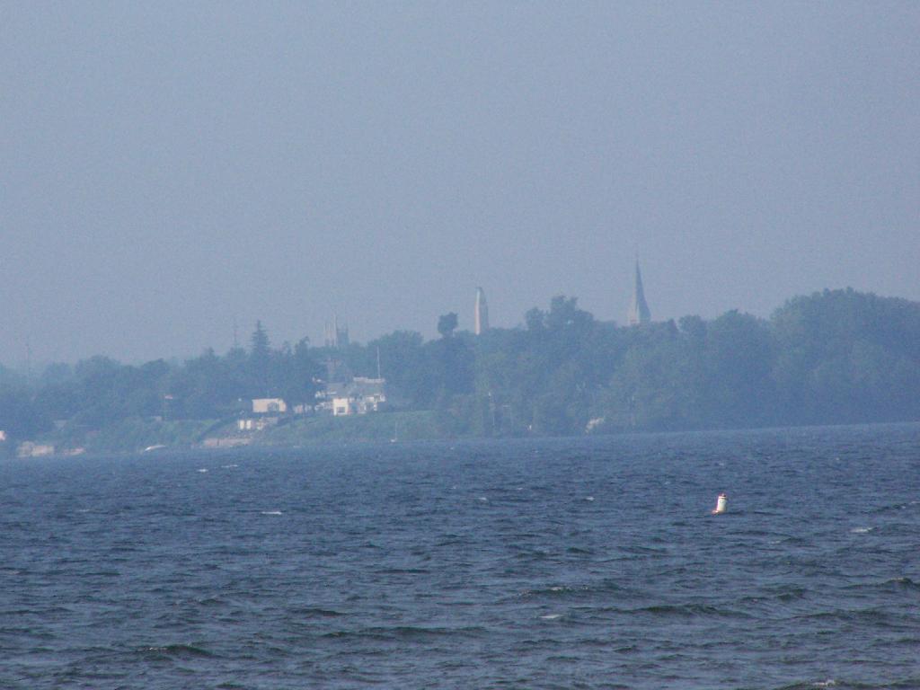
In the Haze

If you want cheap digs near the City of Plattsburgh, then you can’t beat Cumberland Head State Park. It’s only $15 a night, plus a $2.50 service charge for the first night, and is within a mile from downtown. The beach is nice, and when it’s not so damn hazy, the view of the mountains is amazing. That said, I’m not a fan of state parks, especially the “extreme enforcement” of quiet hours, but those showers are nice in such hot weather.

Leonard Hill

There is a currently closed, but slated for reconstruction, fire tower a top Leonard Hill in Schoharie County. You can drive up there with a car or truck as the road is well maintained.

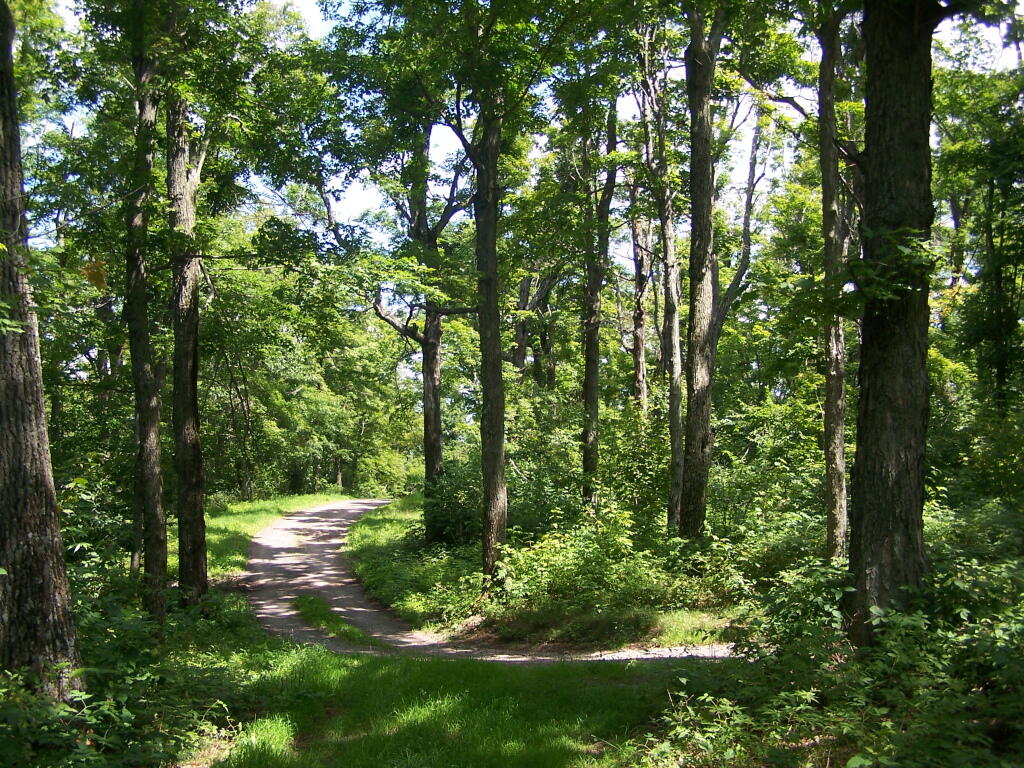
Truck Trail to Tower

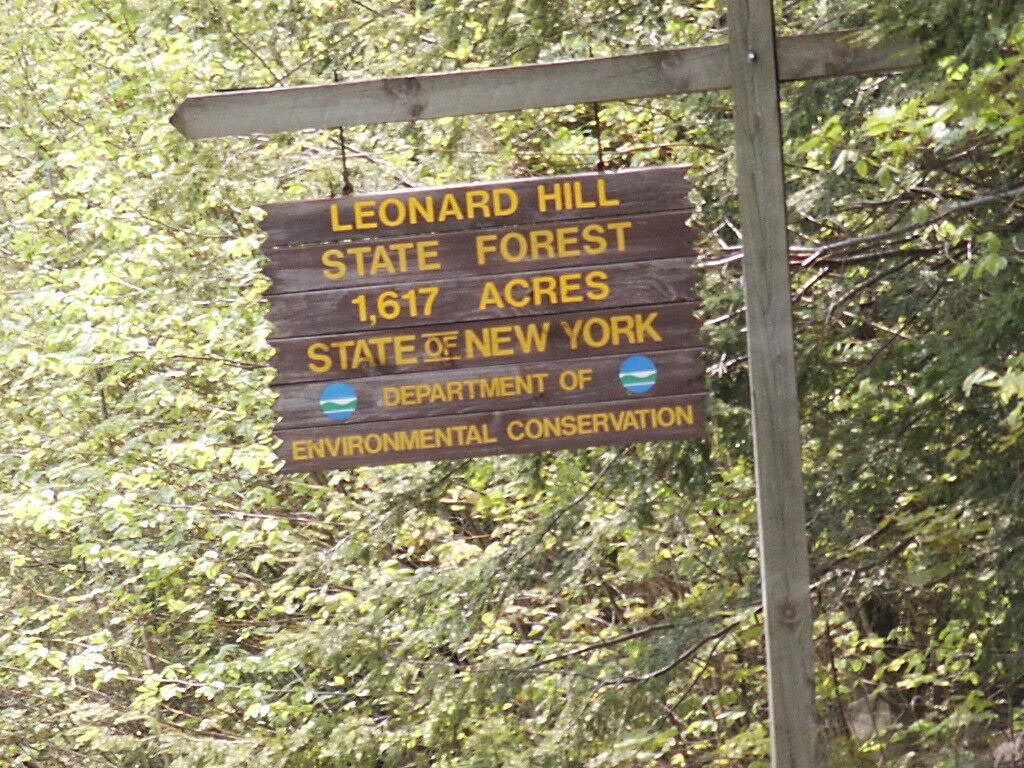
You get there by driving out Broome Center/Potter Hollow Mountain Road, then taking a left up Leonard Mountain Road, which is located right in the middle of Broome Center. You take Leonard Mountain Road about a mile until you see an truck trail marked solely by a “Leonard Hill State Forest”, and take a right on it.

Lenoard Hill State Forest Sign

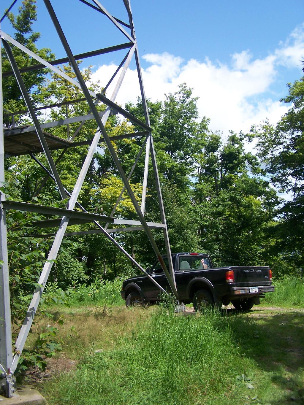
After about a mile on this truck trail, you are on a ridge between Hubbard Hill and Leonard Hill, and can see Leonard Hill Fire Tower ahead. Continue on that truck trail by another mile, and you’ll arrive up to the tower, and you can drive right up to it’s base.

Drive Right Up

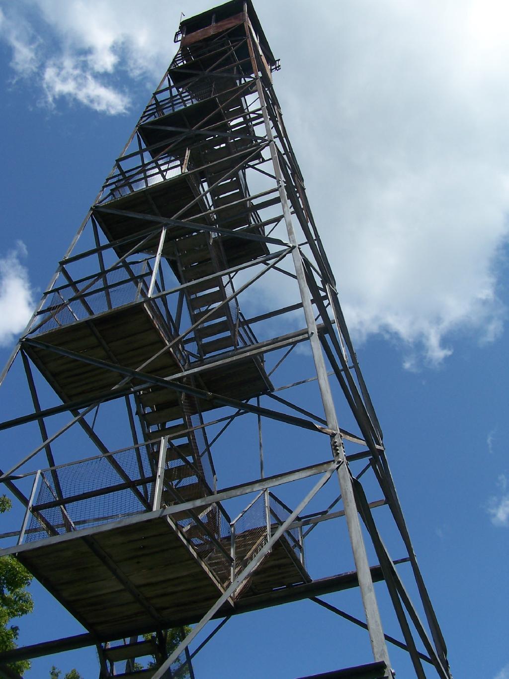
The tower looks a bit rusted in a places, but structurally good. It is awaiting a reconstruction project that the last time I had heard was delayed by concerns over the high cost of gasoline last summer.

The Tower

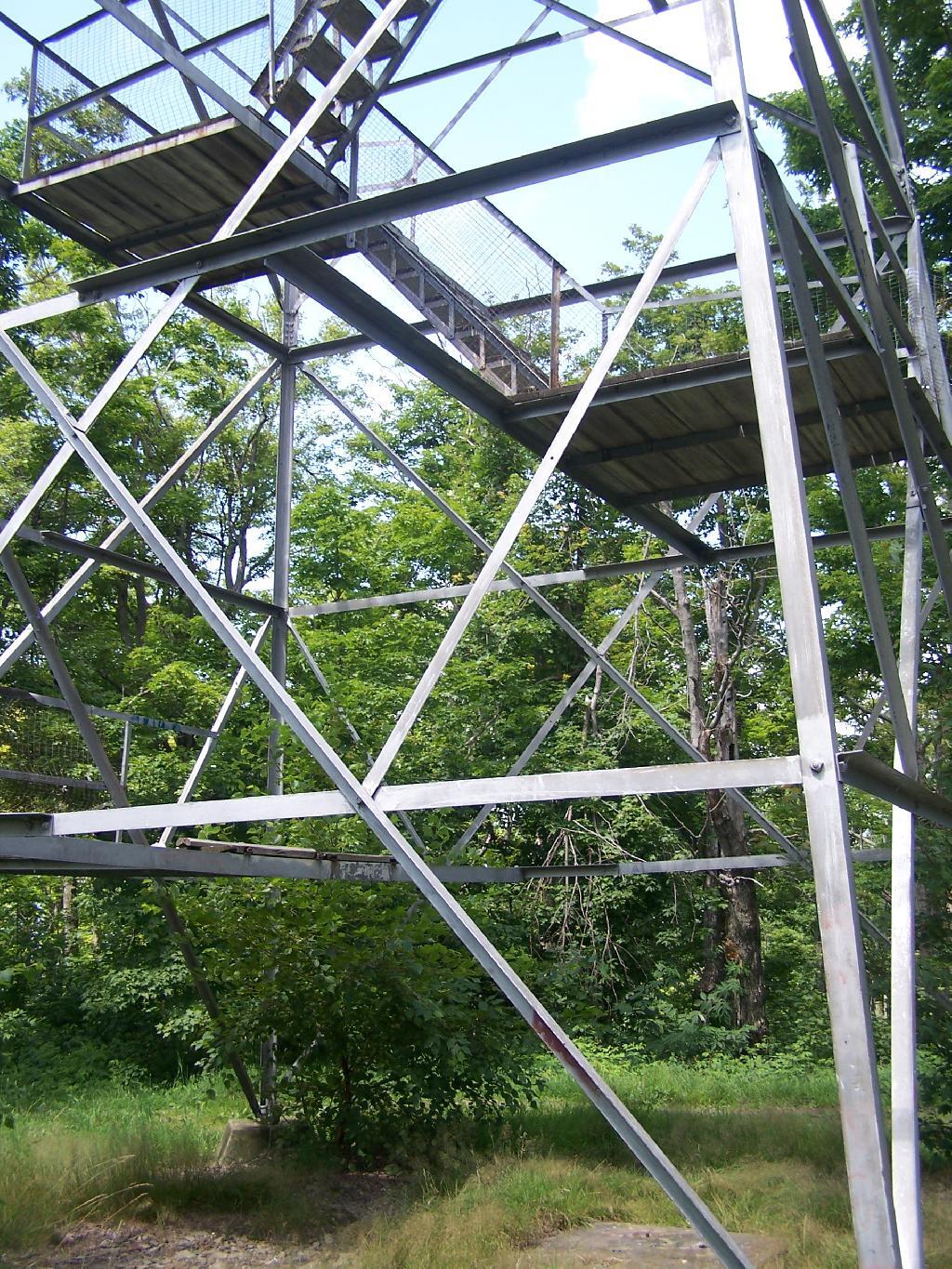
To discourage people from climbing a potentially unsafe tower, they have removed the first two flights of stairs.

Bottom Steps Removed

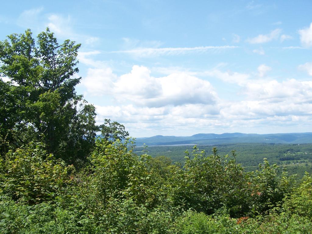
Just across from the tower is a beautiful campsite, with some fantastic views of the Catskills and the Schoharie Valley. I spent the following night down there, camping out. It was cloudy that night, however if the weather was beautiful, there could be a great sunset to watch from here.

With a View

Here is the Schoharie Valley.

Schoharie Valley

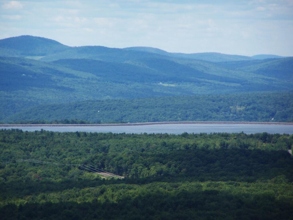
Blenhium Mountain and the NYPA Blenhium Power Reservior can be seen well from the campsite. The reservior is partially lit up at night from generating equipment and safety lights by NYPA.

Pump Storage Reservior

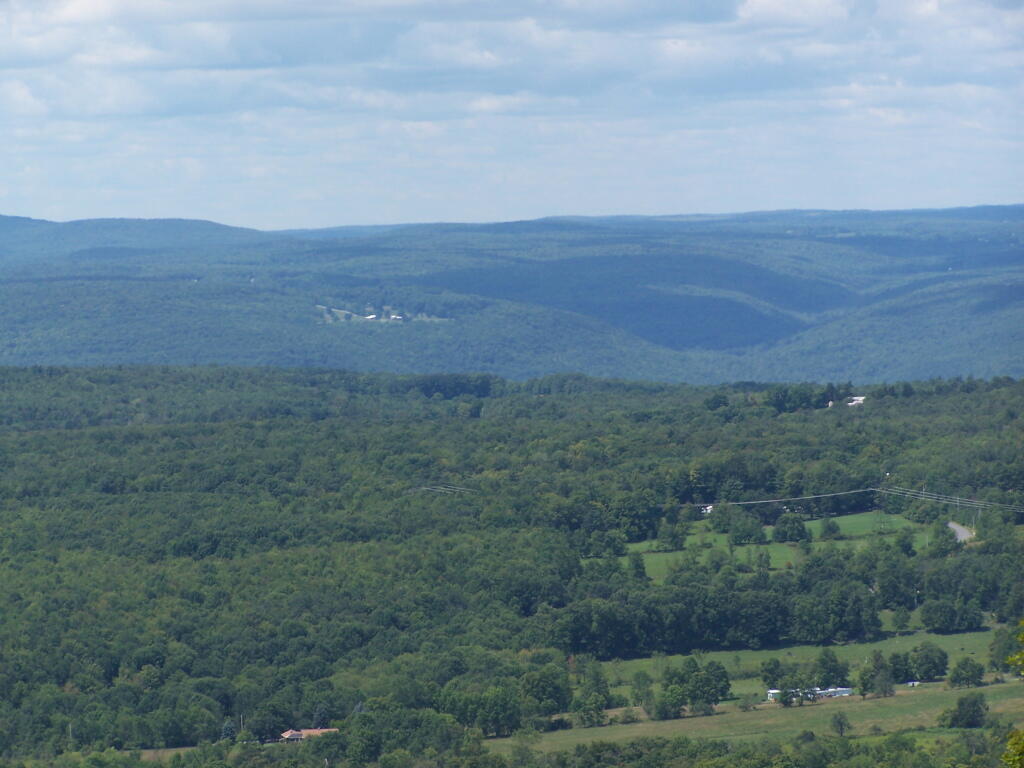
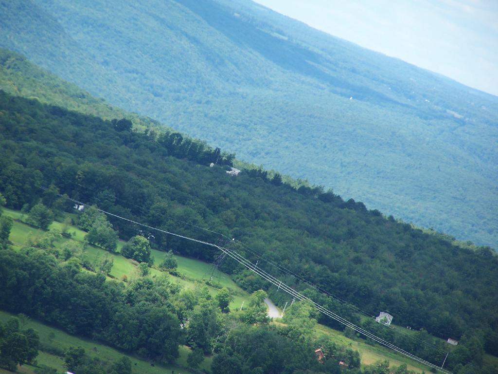
Here is the valley below, and the mountains beyond it, the Emminence State Forest.

Powerlines

Here is a map of Leonard Hill.


View Hikes of 2009 in a larger map
Third Weekend at Burnt-Rossman

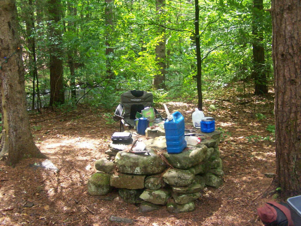
The primitive campsites at Burnt-Rossman are my favorite place to visit. They are in a remote part of Schoharie County, yet only a 10 minute drive from I-88 and a total of an hour and ten minutes from my place in Delmar. There is ample water, and the sites have nice little fireplaces, and places to camp where you can drive in.

Stone Table

It rained on Friday night, so I put up my tarp. I spent much of Saturday going between the creek up there with my feet in there, and sitting in this very comfortable chair, reading Noel Perin’s Third Person Rural. It was very quiet Saturday, seeing all but one pickup going past, plus a family in a minivan, and three people riding horseback with cowboy hats.

Betty Brook

I had my Christmas lights up and stayed up really late several nights. It was great, and beat the horrible humid weather that people in Albany had to suffer through during this very warm weekend.


View Hiking in 2009 in a larger map

Ashokan High Point

Ashokan High Point is a mountain overlooking West Shokan and the Ashokan Reservoir, however due to trees the views to the east are limited. It is reached from a parking lot off of Ulster County Route 42, a windy low-speed road that lacks guardrail protection.

I visited this after doing Red Hill Fire Tower in another section of the Sundown Wild Forest, some 15 miles to the west (30 miles via road).

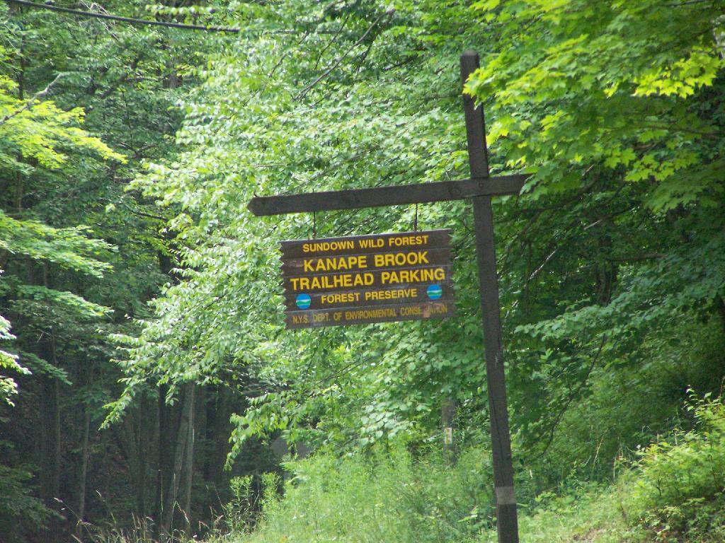
Trailhead Parking Lot Sign

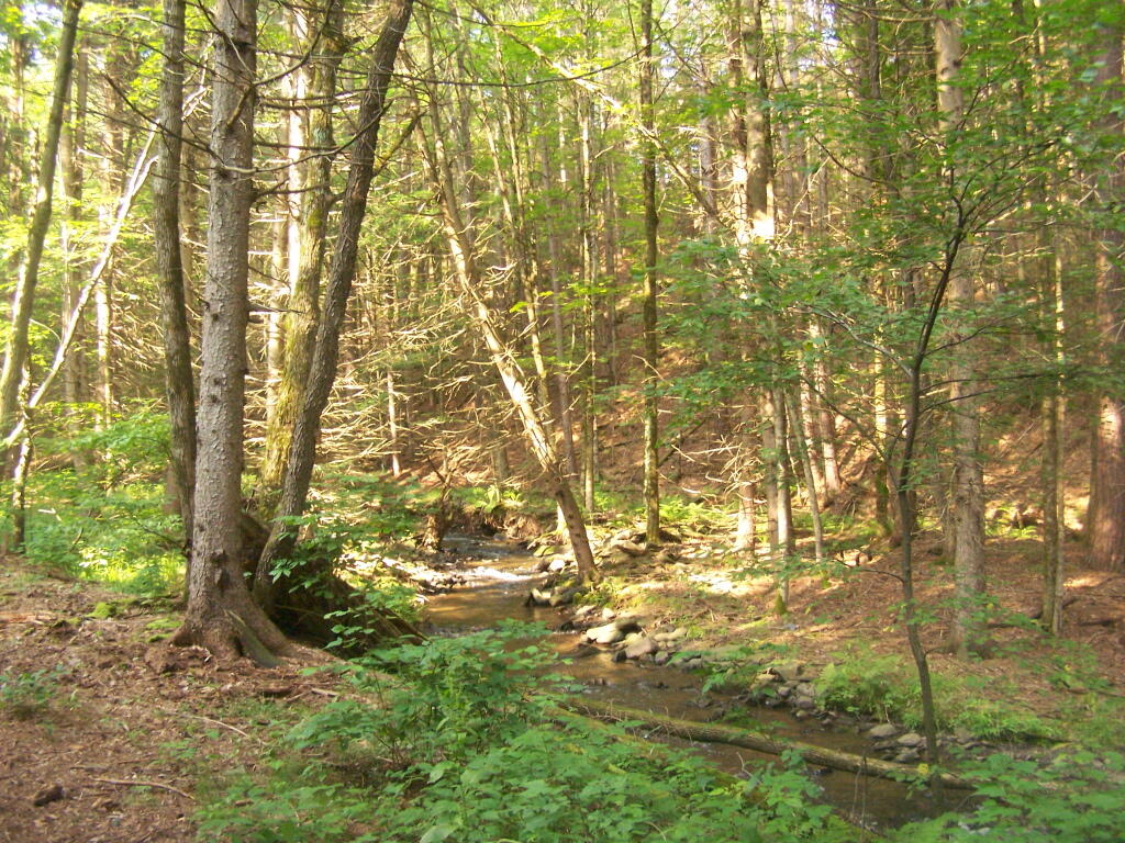
The first two miles up the trail is up an old woods road, that is relatively flat and a pleasurable walk along the Kanape Brook and in a deep clove between Ashokan High Point and Mombaccus Mountain.

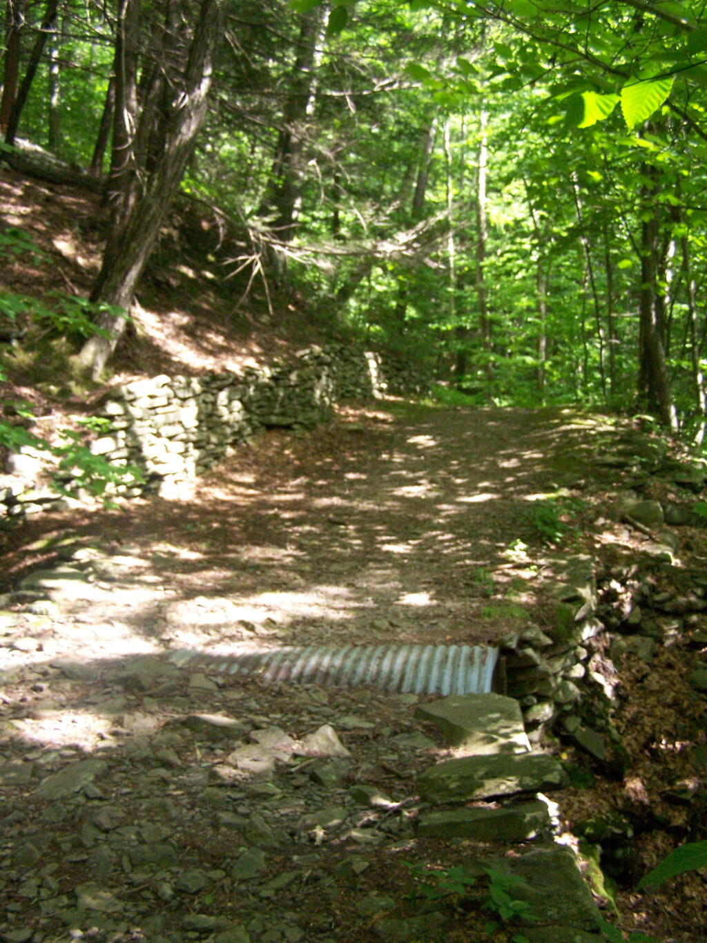
Built Up Fieldstone Trails

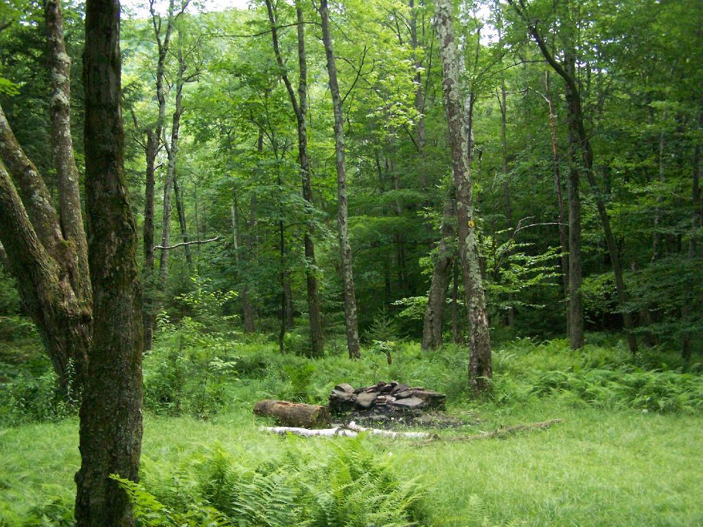
After you walk about a mile or maybe 45 minutes, you arrive at this nice little campsite right near the brook and the trail. It’s in a field, but has limited light for big portions of the day because the clove is so deep.

Campsite By Creek

The trail seems a bit long at times, but this is the kind of delightful walking you experience. Markers are sparse along this section of trail, but if your following the old woods road it’s easier to follow.

Nice Easy Walking

You then reach the sharp turn off the old woods road, to where the trail splits to the upper loop. As you can see, the turn is well marked.From here on out, you gain about 1,000 feet over the next one mile. It’s quite a bit steeper, but nothing is hands and knees hiking.

Don't Miss This Turn

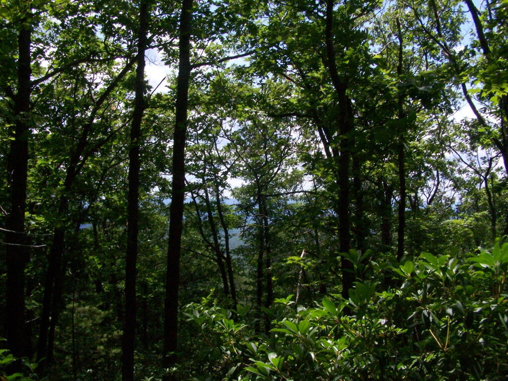
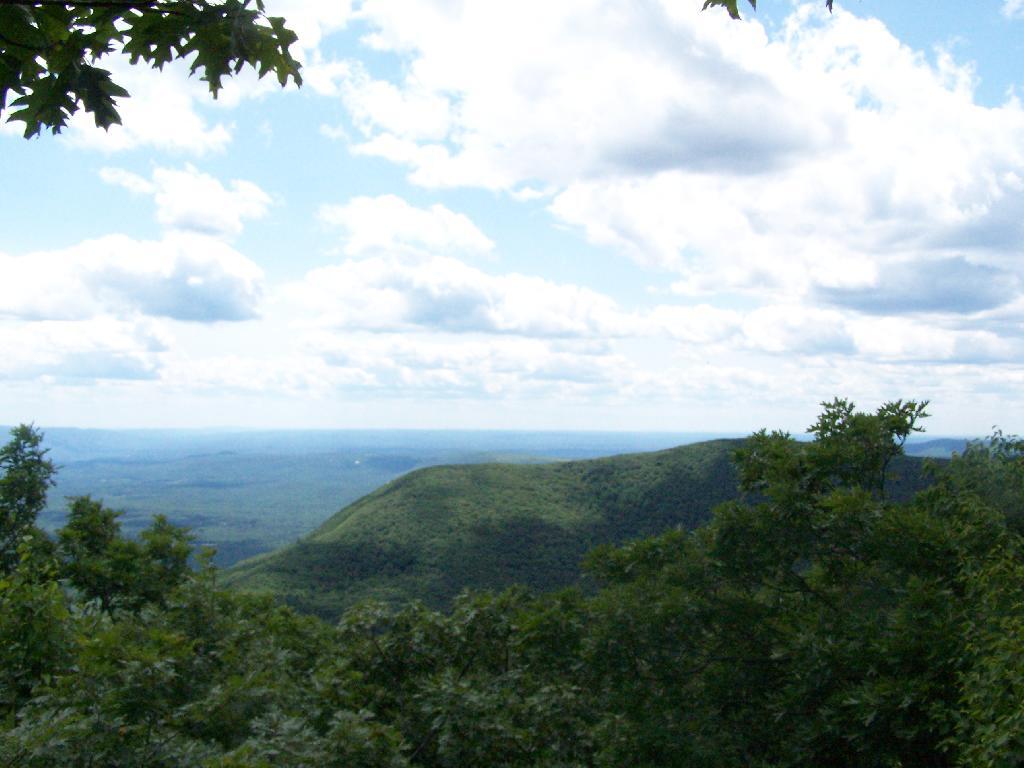
As you start to do some serious climbing, you get partial views to the west.

Slight Views

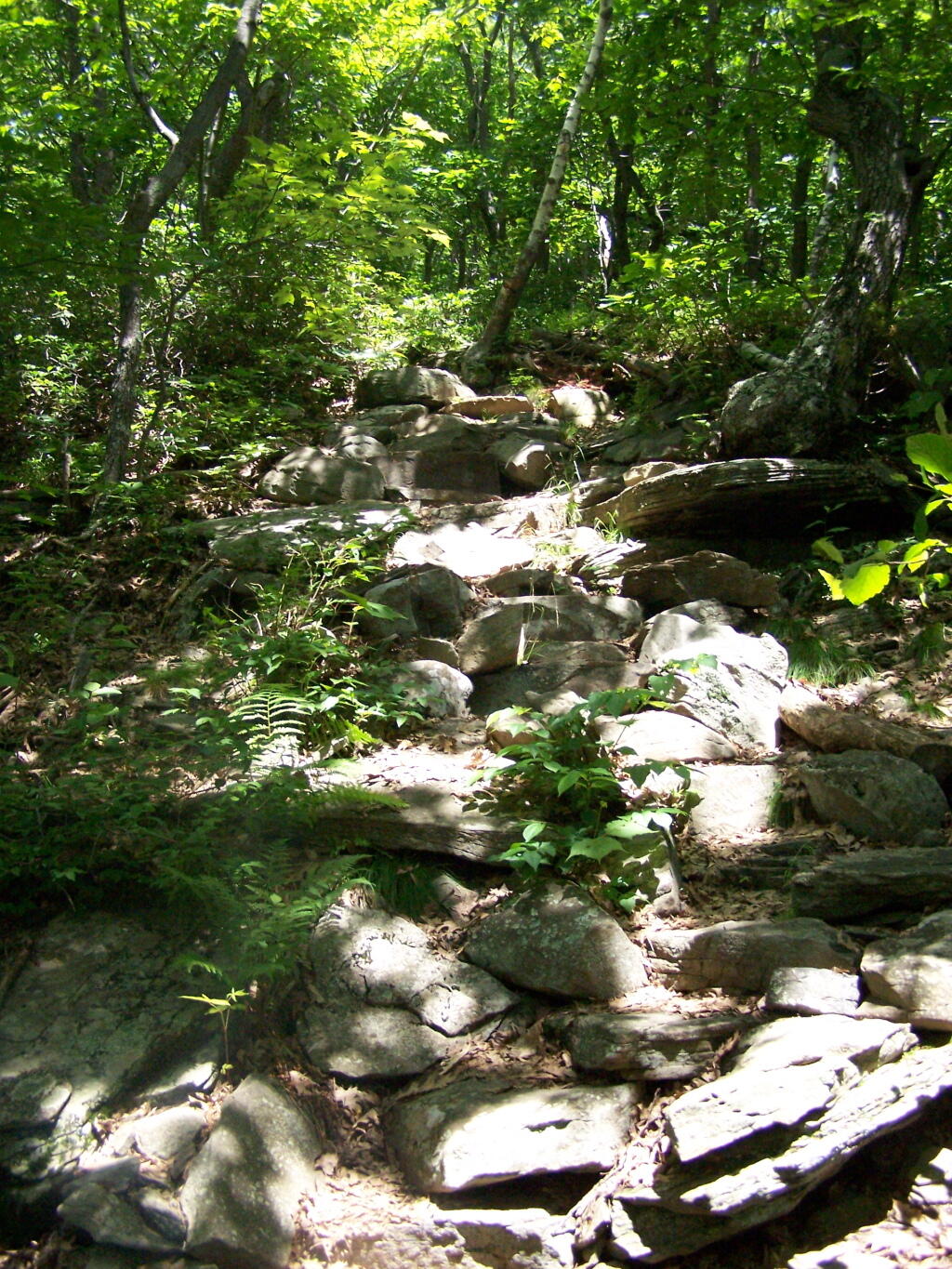
And the trail gets steeper for the next 1/2 mile. They have put in several rock steps to make the climb a little bit easier. Nothing that couldn’t be made by a child or a pet though, and no scary views/ladders.

Steep Part of the Trail

Once you are within a 1/4th mile to the top, you stop doing much climbing. If your caught in a storm, this rock offers some protection.

Neat Little Cave

You’ve basically reached the top when you get this nice westerly view of Moccabus Mountain through the trees. You can stop over here, or continue to the top for better southernly views.

First Views

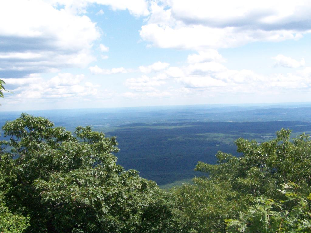
From the top, you have limited views looking south towards the Shawangunks, surrounded by trees. There supposedly is an unmarked trail you can take down to the “ledge” for 180 views. Without a good map, I decided not to proceed down to the ledge.

South of Ashokan High Point

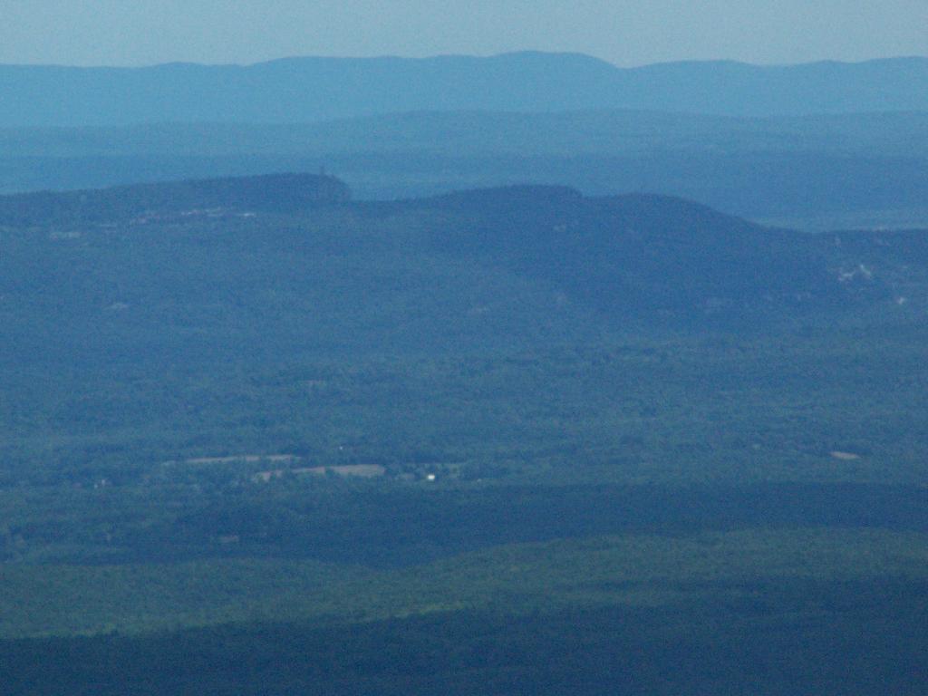
The Shawangunks, shrowed in haze. They are small compared to the Catskills but an interesting profile in the sky.

Shawangunks

Along the top there is a trail that runs through a 1/2 mile of Blueberry fields. I was foruntate to be there when they where in season.

Saturday Evening Up at Camp

Clearing outside of South Kortwright

On the other side of the mountain, there is an informal campsite with fantastic views of the High Peaks Region of the Catskills.

Campsite with Views

The trail down the backside of the mountain is without views, and is less steep but much longer, and winds up and down a few ridges. Nothing really worth visiting — go back the way you came.

Trail Down Backside of Mountain

You return back to where the loop splits, and return back the trail you took up. It’s a 7.5 mile hike total, but a relatively easy one that you can do in a few hours in an afternoon, and not be totally exhausted.


View Hikes of 2009 in a larger map
No Pissing Allowed

There is some things that particularly suck about urban areas. One of them is simply the lack of places to take a piss, particularly after doing a fair bit of drinking.

I don’t know about you, but at least for me after drinking, I usually need to take a piss. When I’m in the woods, it’s not a big deal — every tree works just fine for me. And when I get even more piss drunk, then basically everywhere outside of my pickup is just fine, including the campfire.
 Burnin\' Wood

It’s kind of nasty, when your sleeping in your bed of your pickup, and you piss on the tailgate. So even in the sticks, you want to aim outside of the pickup. But in urban areas you have to be much more careful where and when you piss.

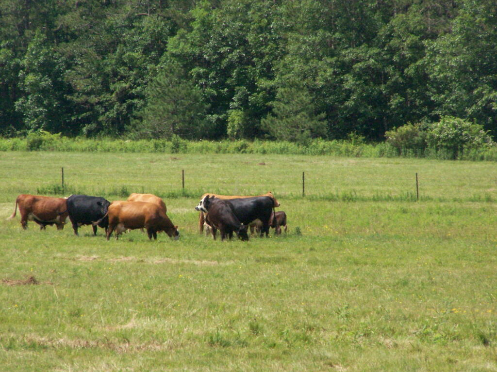
It’s normally not a big deal. Especially in rural areas, where they’re be nobody smelling it, and the rain will quickly wash the piss and the nitrogen-loaded compounds away. Nobody complains about when a horse or a cow lifts up their tail to spray out gallons of urine in a pasture.

Grazing

I realize there may be problems with letting people take a piss in urban areas. High levels of nitrogen in one spot will cause the grass to die, as my dog ever so articulately demonstrated with his favorite winter pissing spots, where the snow isn’t so deep.

Then there is whole problem with all those perverted folks, who don’t want to piss but just show off their equipment in our puritan society, which gets people upset when somebody has fake plastic truck nuts on their pickup. We are too much of a honey society that’s paranoid about any reference of sexuality. Don’t let the kids near the pasture when the bull’s out there doing his thing! They might just get idears about what farm animals do.

Campsite at Duck Pond

Yet, I’m sure the major problem with urban pissing, it would just make everything smell like a beef feedlot. As they say, a few gallons of urine being pissed into the pasture, doesn’t really smell like much. Yet, you go to a feedlot, and you know there are lot of cows there, as they are getting fatten up to make your steak tasty.

Cities suck. America should be rural and free, and be a place where people can piss wherever and whenever people want to do such an important activity. This is why we as a society need more acres of pasture, and less of asphalt.