The Rattlesnake Hill Wildlife Management Area is a 5,100 acre upland tract, situated approximately eight miles west of Dansville, New York. Roughly two-thirds of the area lies in southern Livingston County, while the remaining third lies in northern Allegany County. The tract was purchased in the 1930’s under the Federal Resettlement Administration and is one of several such areas turned over to DEC for development as a wildlife management area.
The area is appropriately named after the Timber Rattlesnake, which may be occasionally found in the more remote sections of the “Hill”.
The area offers an interesting blend of upland habitats such as mature woodland, overgrown fields, conifer plantations, old growth apple orchards and open meadows.
The area is inhabited by a variety of game species and is open to public hunting. The white-tailed deer, wild turkey, ruffed grouse, grey squirrel, cottontail rabbit and woodcock are found on the area. An occasional snowshoe hare may be observed adjacent to thick creek bottom brush or conifer plantation habitats.
A number of small marsh units have been developed and provide limited hunting for waterfowl. Some of the area’s furbearing species such as mink, beaver and raccoon may be occasionally viewed at these marsh units.
I have no formal GIS training, as things were still pretty primitive back when I was in college in the early 2000s especially when it came to web services, online data and open source software. Computers where a lot less powerful back then. I remember vaguely hearing a bit about Remote Sensing when I was involved in the Environmental Science Club in college, but it wasn’t something I ever used.
I picked up QGIS in 2010, as I was looking for a way to make my own topographic maps, as I wasn’t happy with what you could get on the Internet. I learned I could FOIL the Primitive Campsite Shapefile from the DEC and get data from there to help find campsites. I was pretty good at map and compass stuff from my years in Boy Scouts. Over time, I’ve branched out into other GIS areas. I’m always been very interested in land use but also demographics.
More recently I’ve been doing more automation of processes, using Python and R statistical language to do some map plotting and a lot of Census data gathering and processing. I like working with R it’s fast and easy to implement code in. I’ve also lately been doing a lot more with Leaflet and web services more generally.
I don’t do anything professionally with maps, it’s just a hobby.
I call bullshit when people call their home their biggest investment, or say that home ownership is an investment at all.
Houses fundamentally are a consumable, they provide for a human need but are intended to be used up and discarded. While with enough money and effort they can be maintained to a high level of habitability and ultimately resold, there is no guarantee of profit even if the sale price is often higher than the initial purchase price.
When I buy my land and build my cabin, I am not seriously considering what will make me the most profit when I go to dispose of it in later years. Maybe the value of my house won’t ever even be a relevant question — if I build what I like and live there the rest of my life — then it really doesn’t matter if the property goes to a negative million dollars in value. Once I’m dead, it’s somebody else’s problem. Instead, I plan to build what I what, regardless of what it does to the sale value of the property in out years.
It’s not say I plan to build cheap, ugly trash that has no value at all — or that I plan to degradate the land and the property. My goal is build sustainability, on a scale that fits me. Not the next person to own my land. To use materials in a right fashion, not because they’re popular or will make appreciate in value in the future.
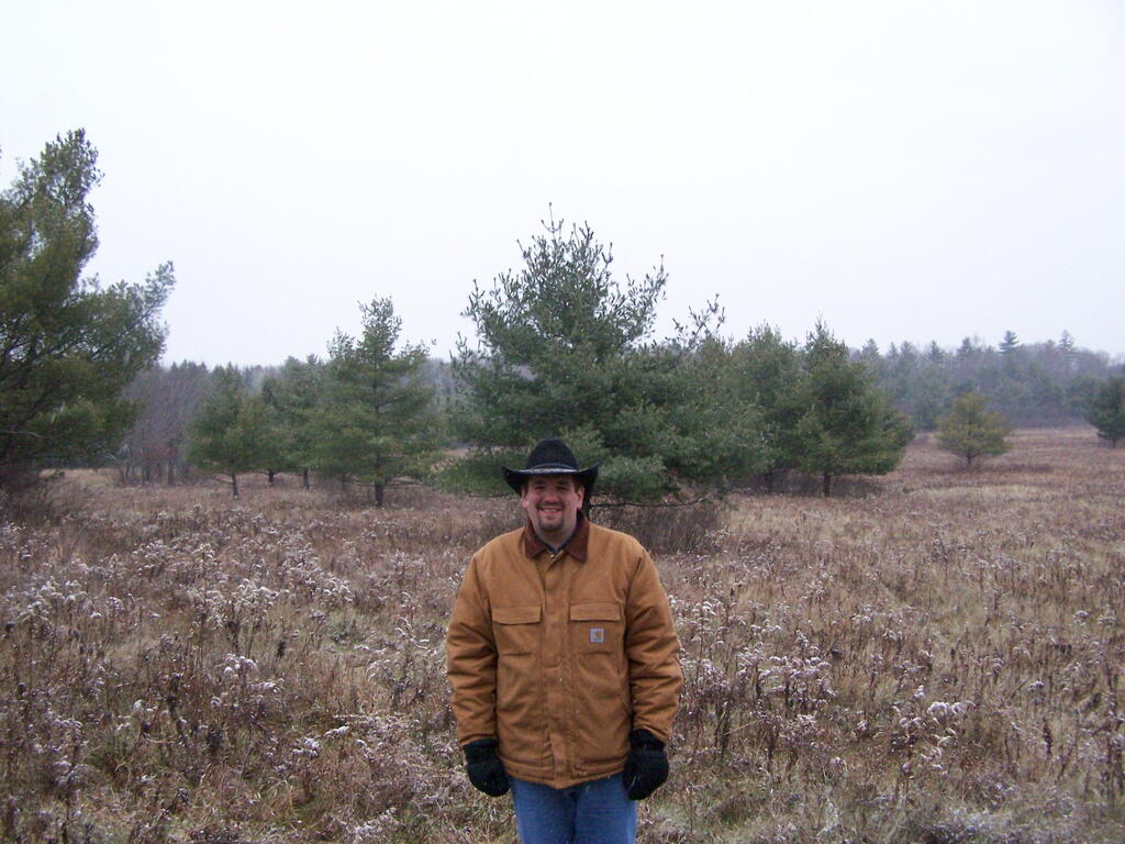
On my blog, I am often known for my wild and free nature, the cowboy hat, saying my thoughts on how I think the world should work. My ideas are some liberal, some conservative, there’s a mix. I am pretty much know for my maps, camping in the wilderness with Big Red, and open, rural country I love to explore.
At the same time, I have to contrast that to my much more mundane life on the weekdays as a communications professional and political coordinator. The cowboy hat and big jacked up truck is put on the rack for the suit and tie, and a ride on public transit to the big office building downtown from the suburb to the city.
As my bottom of my goatee turns increasingly gray, as do splotches of my hair, I become more and more concerned about my professional development, my retirement, my savings and my tomorrow. Not because I expect to ever become a suit and tie guy at heart, but I do like the money, especially what is saved and invested for tomorrow. I dress up and play the role, not because I love the suburban life, but because I know what it’s paying for tomorrow.
That’s the question of the day over at WordPress.com. I figured I would briefly discuss why I enjoy my job.
First and foremost, work has to be about money. It’s not work if your not getting paid for what you. While pay isn’t the only consideration in life, a good paycheck and benefits can go a long ways to make even the most awful job not so awful, especially when you clock out for the day.
Second, work should be meaningful. I enjoy delivering results for my clients, the look on both their face and my face when I deliver a quality product.
Third, I’ve gotten to like not working downtown. It’s so much quieter working up in Menands, without the craziness of downtown and politics. The dress code is casual, the hours regular and predictable. Parking is easy should I choose to drive in, or it’s not bad biking in either.
Fourth, I like working with others to solve problems. Some of the best times at work are reaching out to others, discussing the issues in front of you, finding solutions by working with others who have expertise in their part of the business.
Fifth, I enjoy coming up with solutions to problems using automation and technical skills, often with real creative thought and effort. It’s fun to come up with time saving solutions and play with code and commands to fix real world problems in the business.
Meteorological winter comes to an end today. This has been a colder winter then recent ones — we only had one 60 degree day, hitting 62 degrees on December 21st. Previous winters in recent memory had some 70 degrees days.
The SSD drive is for purposes of booting so much faster then a conventional drive — taking my laptop about 4 seconds to boot into Linux with the XFCE window manager compared to 30 plus seconds with the traditional drive.
Applications load somewhat faster, but the real speed difference is when you are preforming operations that are highly disk intensive, such as loading a large database or processing many digital elevation models at once. Obviously, CPU intensive applications aren’t improved by SSD, so if something involves more processing then loading, the benefits will be smaller.
All together though, I’m much happier with the speed of my machine with the SSD drive installed. It’s well worth the $150 to be able to start and shutdown the machine quickly, and have more access to my files. Plus, I still have the old hard drive in the DVD drive bay, so I have ample space on my laptop for years to come.