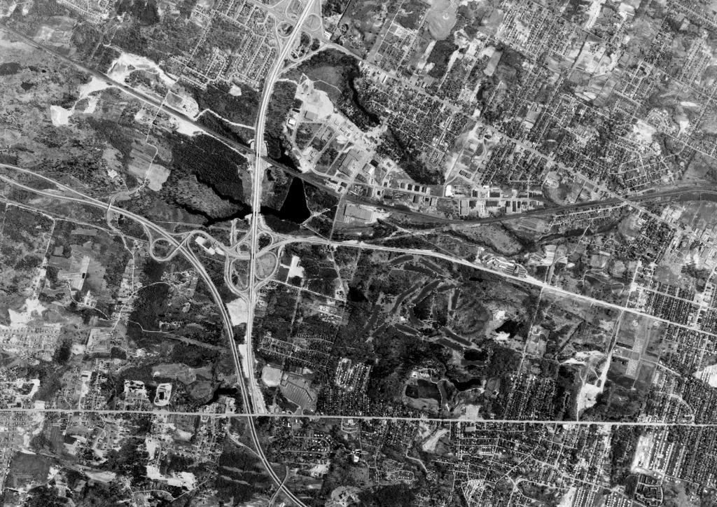
Northway and Thruway – May 1, 1960
Only a few years before the modern state office campus and SUNY Albany.
Only a few years before the modern state office campus and SUNY Albany.

LEFT - 1952 / RIGHT - 2020
You might call this image, why does US 20 flood so often in front of Stuyvesant Plaza. Filling in wetlands and creating vast impervious surfaces in the naturally pourous Pine Bush probably causes such things.

LEFT - Altamont 2018
RIGHT - Altamont 1952
Map Warper, Richard Welty. https://mapwarper.net/maps/44071