Adirondacks
Lost Lives in the Adirondack Backcountry
Stories about lost life over the years in the Adirondack backcountry ...
New York canoe camping area comes with new rules
It's funny when you read the analysis of the DEC, they don't even given the "no action alternative" serious consideration. They use zero facts in their environmental review, much less user survey to find if the campsites have any significant public interest. Not to mention, the have closed off all of the roads within 1 mile of the lakes, so unless you want to go for a very lengthy canoe carry, the lakes are totally inaccessible. Then again, what else would you expect from DEC, making secret deals with the Hamilton Street gangsters?
New York Obtains Additional Finch Pruyn Adirondack Lands
More about the new Finch Pruyn lands.
Hiking Lyon Mountain
Last October I went for a hike up Lyon Mountain. The first 3/4 of a mile you can drive up to the parking lot, then from there, it’s a two mile hike to the summit, or about 3 miles if you take the new trail.
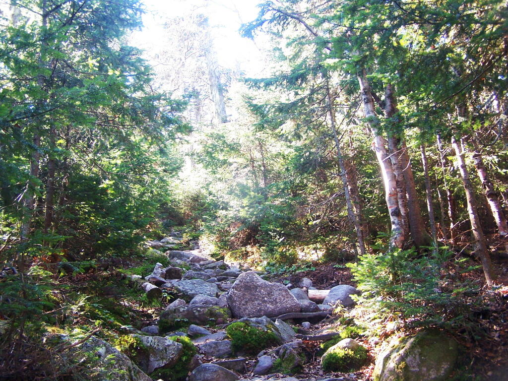
The old trail, following an old woods road is eroded and rough in places, but it well traveled as it much shorter. The new trail, being so twisty is not as well traveled, but it is far less steep and tends to be less wet in the spring time.
Heading up from the parking area, the first part of the trail follows the old trails route, before swinging left near a registration kiosk.
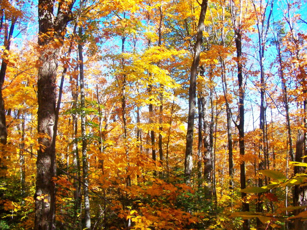
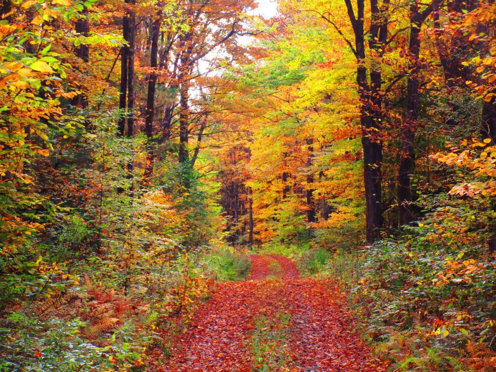
It was very colorful along the new trail as all the maples where at about peak color going up the mountain.
I decided to switch over from the new trail to the old trail, once I reached the point where the trails reached their closest point at the midpoint up the mountain.
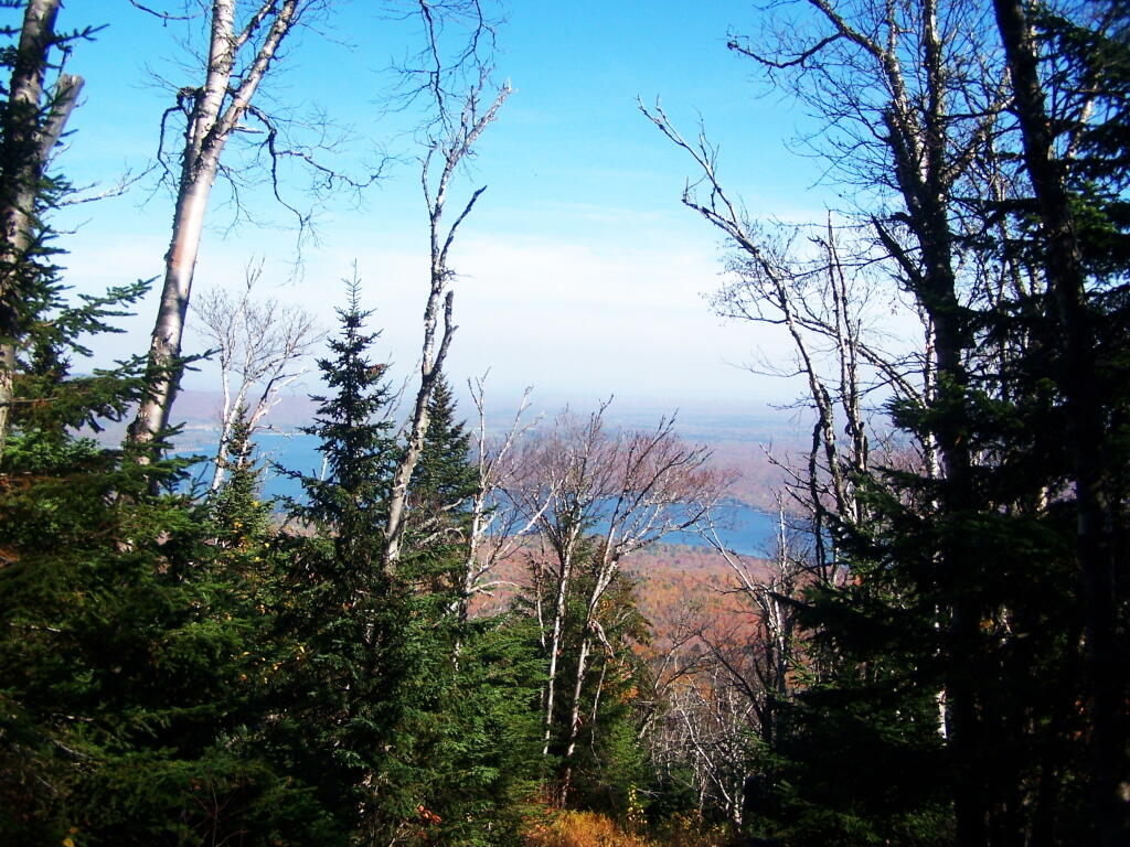
As you get about 2/3rds the way up the mountain, you can look back and see Lake Chazy.
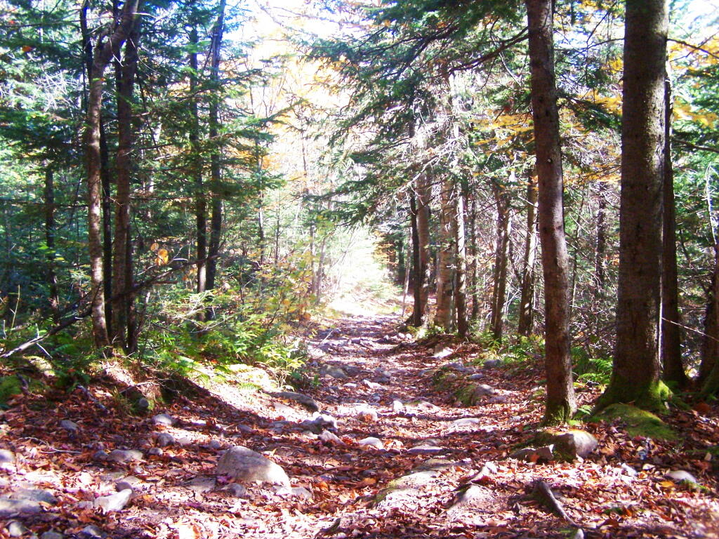
The old trail certainly is eroded and in rough sape in some parts. You can understand why they re-routed it.
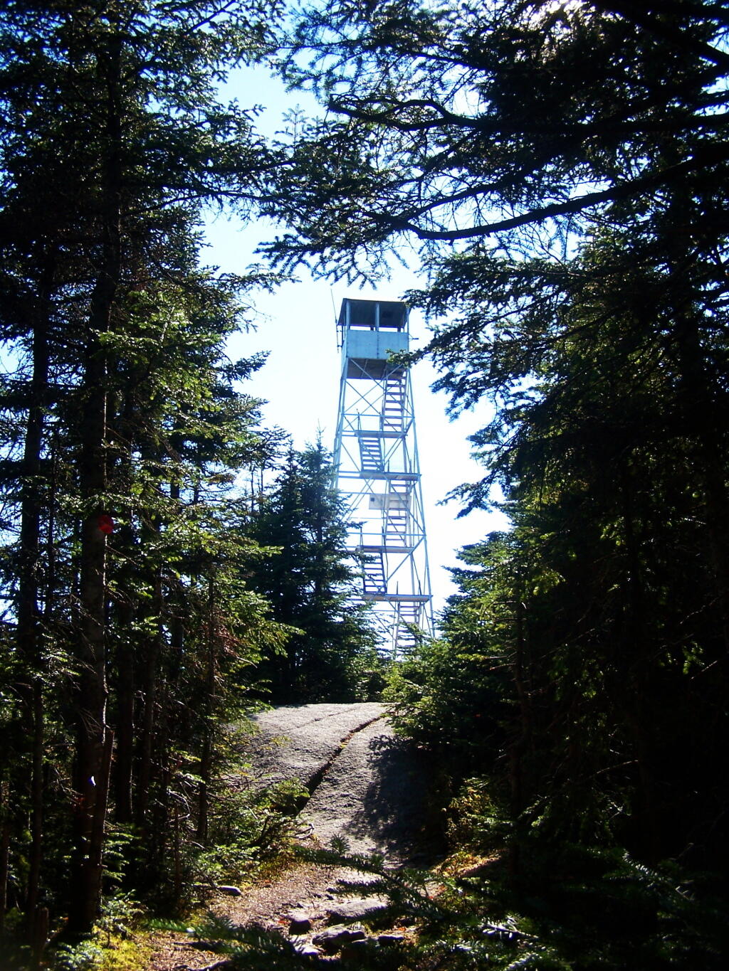
Ah, finally see the fire tower.
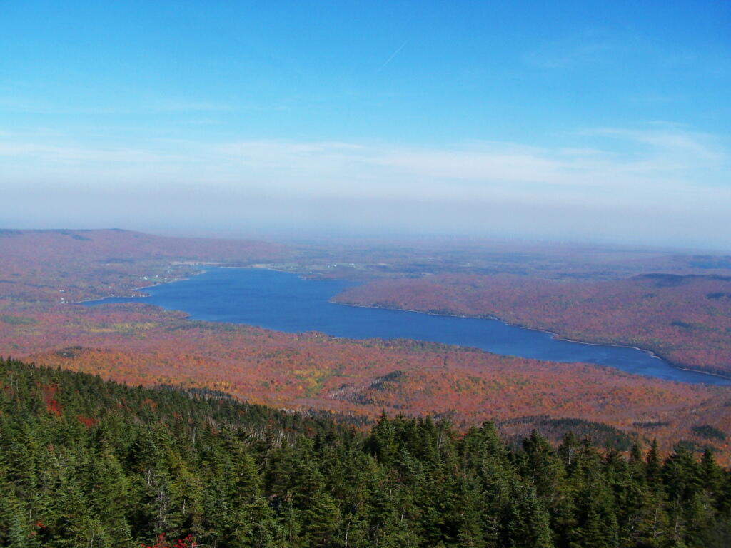
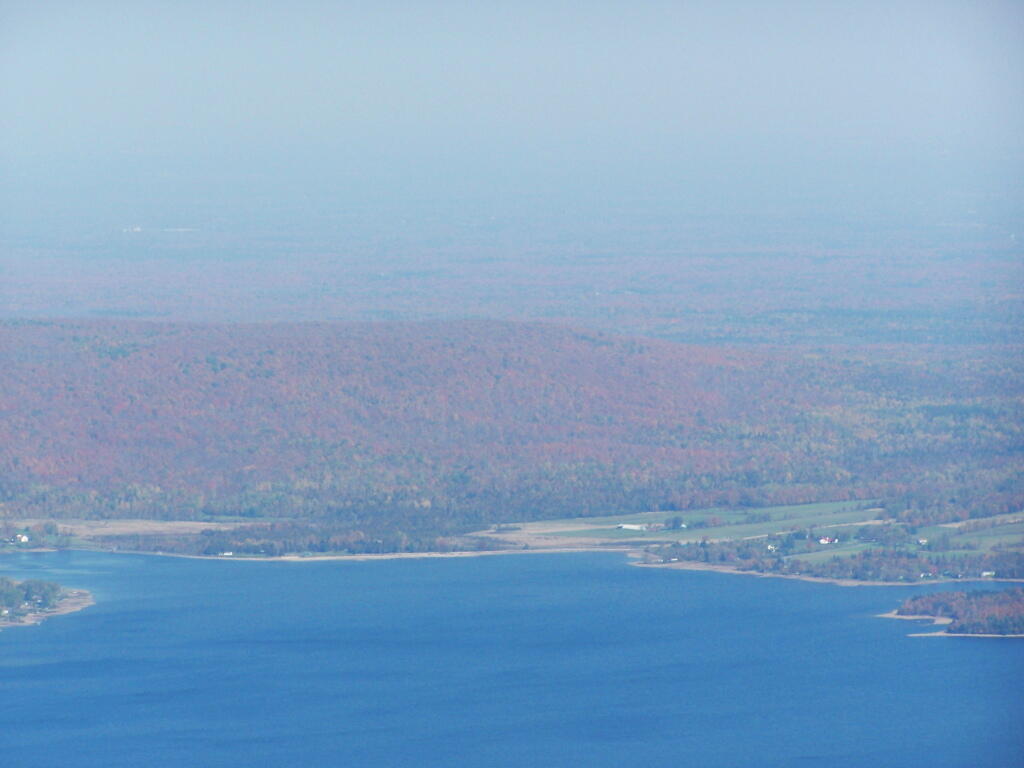
Hazy day, but there’s Lake Chazy and the farms along it.
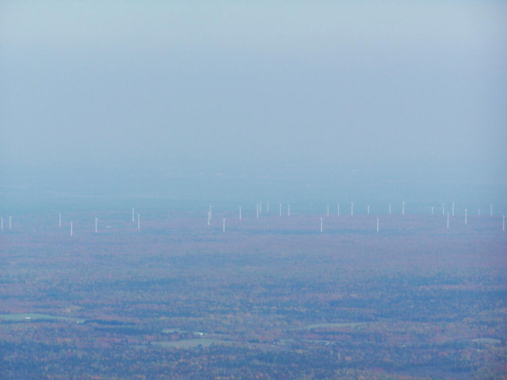
Wind turbines of the Chazy Highlands…
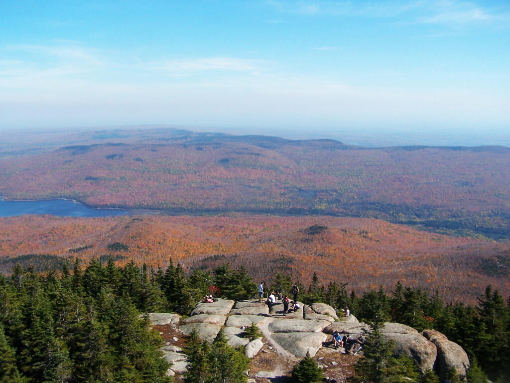
Lyon Mountain is a popular hike, as seen by all the hikers on the ledge.
Why Jones Pond is One of My Favorite Campsites
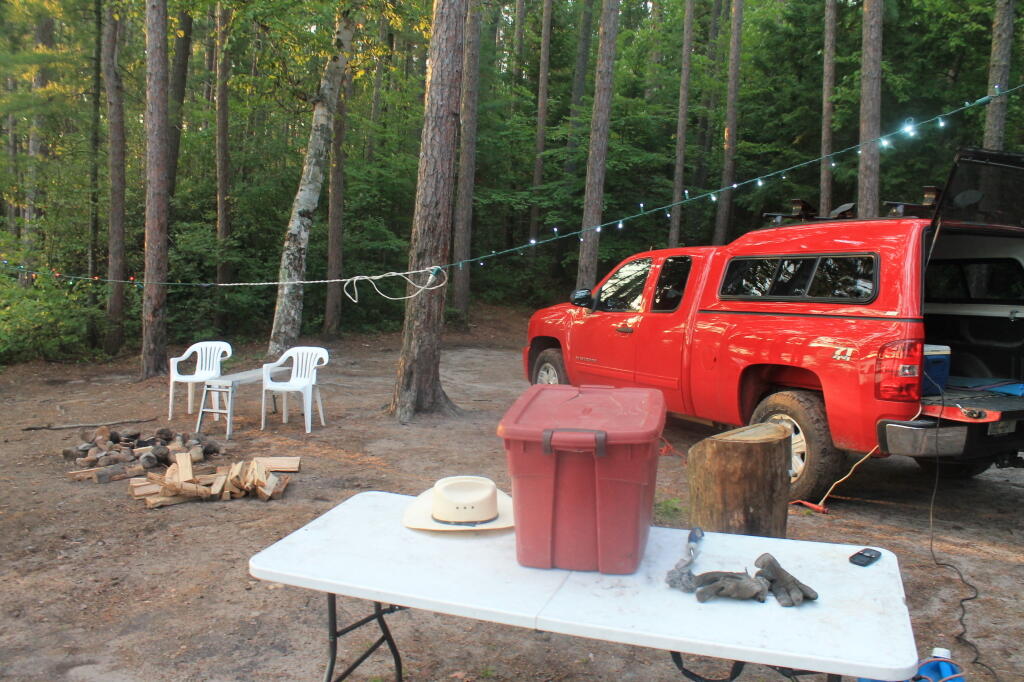
Jones Pond has 5 drive-in campsites on Jones Pond, a small public-private lake a little ways from Paul Smiths. A popular area on weekends, on weeknights, it is little used, but right on this beautiful lake.
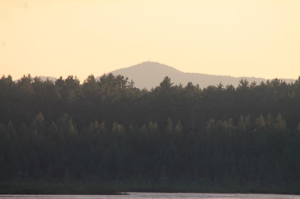
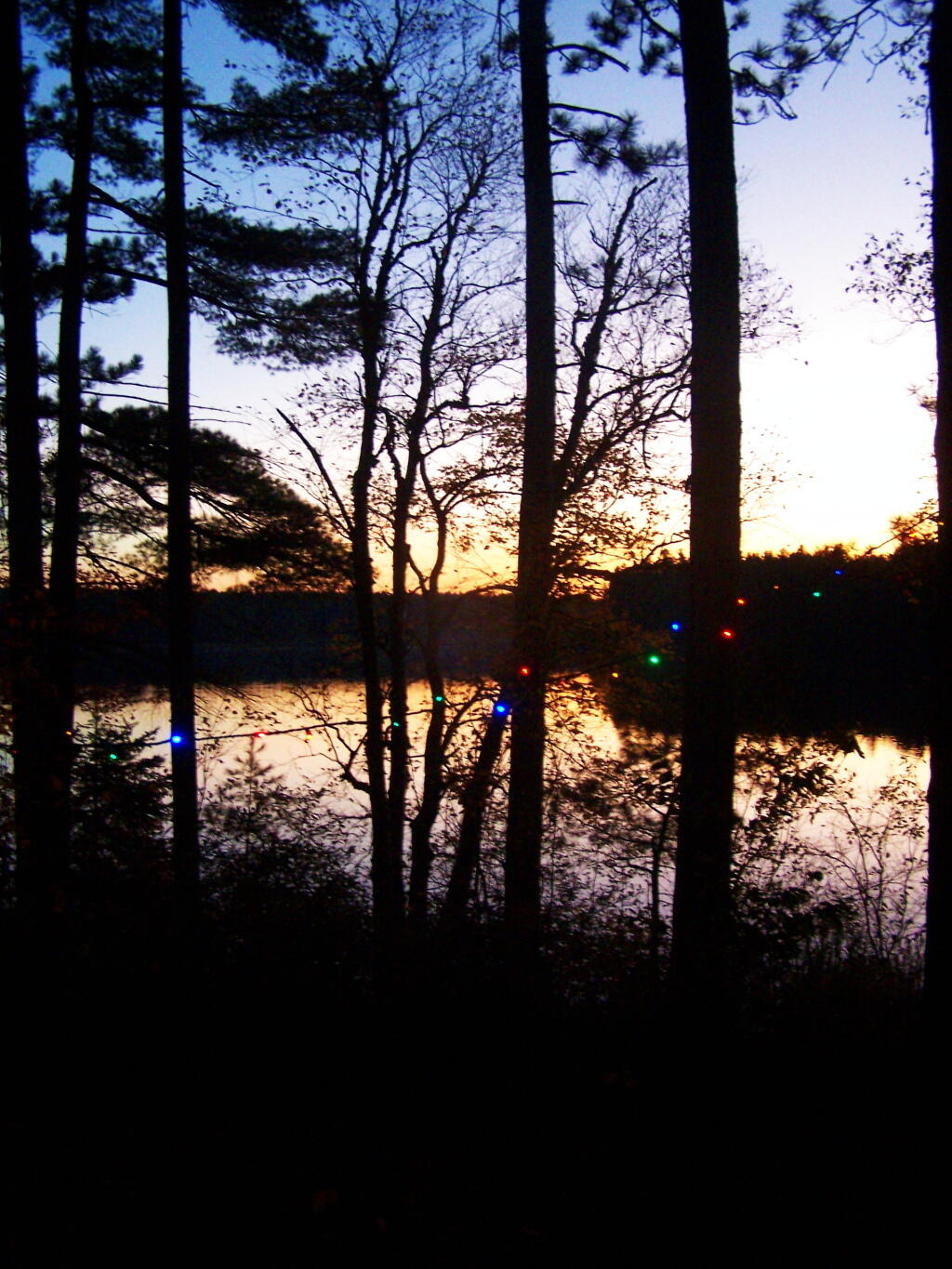
All of the campsites have “filtered” views of Jones Pond with tall white pines growing throughout the campground. The sun, year round sets on the lake, with views of Saint Regis Mountain te background. There is much beauty at all of campsites, with high sand dunes a little ways behind campsites, and sand dunes providing sound and light barriers between campsites.
Part of the generalized St Regis Canoe Area, it one of many nearby lakes. It provides a great place to make the night after a long day paddling, after watching the sunset, and the fire burn as the night progresses. Walk down to the shoreline, and look at the stars sparkle in the sky.
It’s not perfect. There is some road noise from Jones Pond Road, and certainly part of lake shore is privately owned, so there are some power boats occassionally on the lake. But still, it’s a wonderful experience.
Why I’ve Fallen in Love With Piseco-Powley Road
This past summer I have spent 3 weeks at Powley-Piseco Road up at Powley Place, about 10 miles north of Stratford. Despite visiting and camping in many other parts of the Adirondacks, this area has a special part in my heart.
I really like Powley Place. I like the sandy “plains” and the marshy areas. I like being able to see those handsome cedars lining the East Canada Creek, and wander out at night at look at the stars. I love feeling of sand on my feet, and cooling off in the East Canada creek.
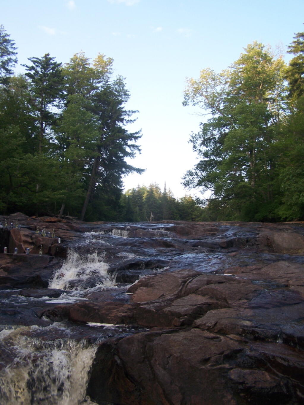
The Potholers always have the perfect amount of ice cold water in even on the hottest day. You get covered by the spray of water that is never too low in the summer. It’s always so delightful.
All of it is relatively close together. Unlike the Moose River Plains, you don’t spend all day driving from destination to destination. And its much closer.


