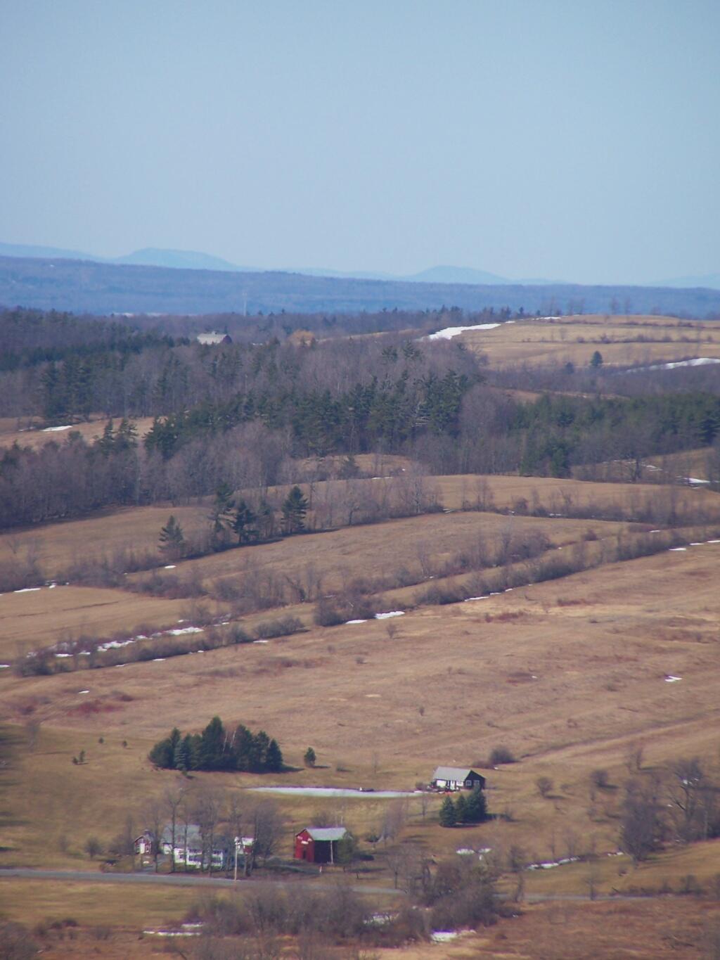
Fox Kill Valley and Lands Above Andy | March 13, 2026 Some of the hilltown's best pasture lands are above this area, looking up towards Knox and lands beyond. Sunday March 20, 2011 — Cole Hill State Forest
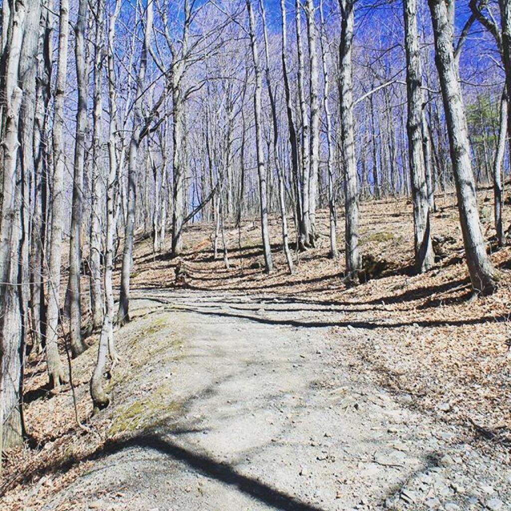
Oak Tree Andy | March 13, 2026 In black and white print along the Former Centerville Road on the Pine Bush hike. Saturday March 19, 2011 — Albany Pine Bush