
Powerline Cut Along County Route 1

Last winter, several parcels were being sold off on Woodstock Road, some of which interested me as a potential home site. But the road is inaccessiable currently in the winter, though I wanted to check them out. So I did a quick drive-by on my way from Cole Hill State Forest to Partridge Run.
Sunday July 21, 2024 — Berne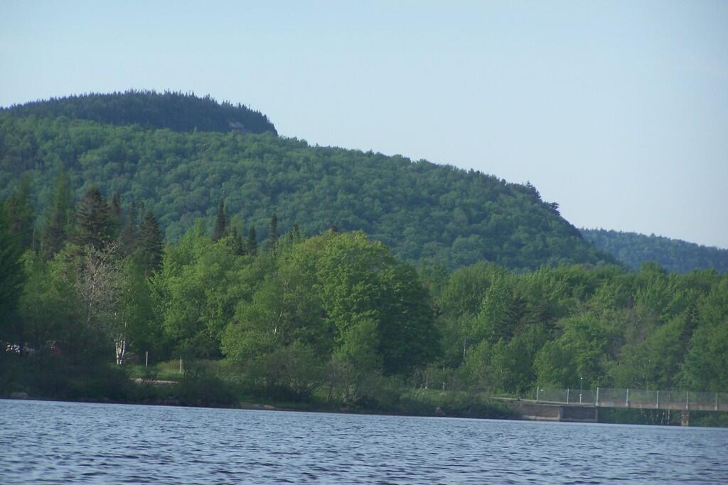

When I took this picture, there wasn't much farming going on, at this farm off Peasely Road. Now it's full of beef cattle and buffalo.
Monday July 14, 2008 — Berne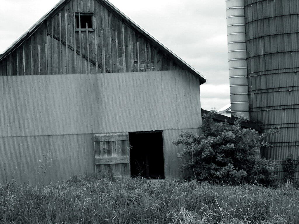

Taking a look across the Lower Switzkill Valley where the creek winds into Fox Creek outside of Berne. In the distance is Sickle Hill and the many farms that cover the valley.

Here is a map showing properties in the Berne, NY sewer district based on assessment records.