I am going to have to do a new Coeymans Creek Wildlife Management Area map now that I’ve explored it some more. I was hoping to see the bigger east parcel but it’s going to have to wait until water levels are down and I have my rubbers on. I also want to overlay the Albany County tax map to better understand access to the parcel.
I really spend too much time dreaming of cows and cowboys, the wild west, the off-grid livestyle. But there is something so wonderful about the wilds of nature and living a life off the fat of the earth rather then the plastic of suburbia.
The below descriptions of camping areas from the Green Mountain National Forest’s webpage, General Forest Camping.
North Half of the Green Mountain National Forest
Note: You must zoom in to see individual roads on above interactive map. Campsite locations were added by hand-digitizing and are not exact.
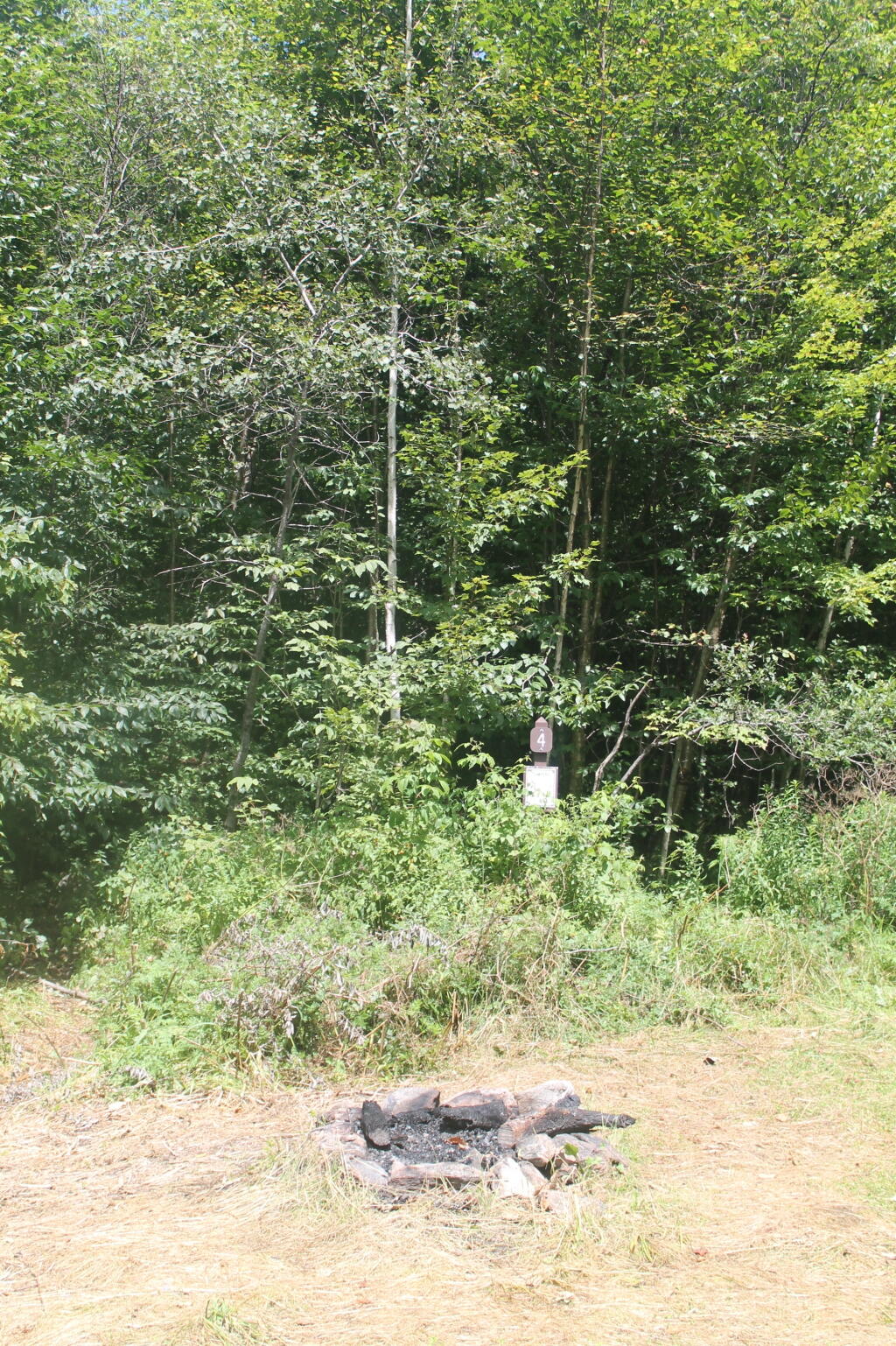
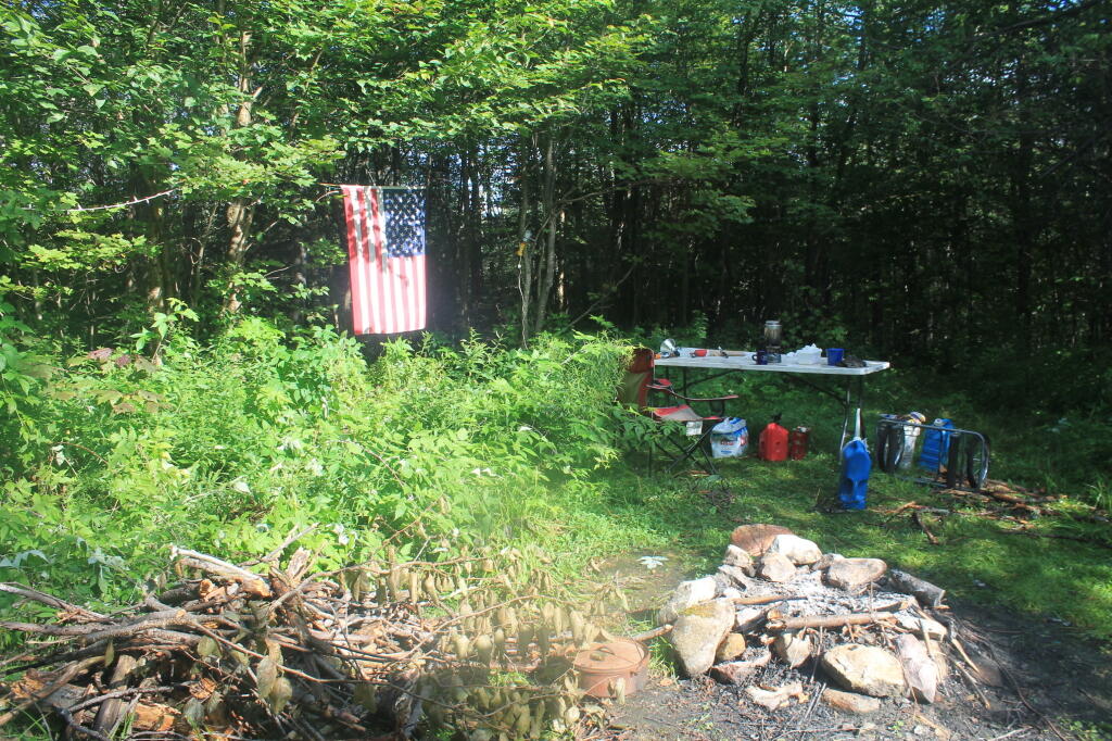
Austin Brook Road: There are three easily accessible campsites by Austin Brook on Forest Road 25 in Warren. They are all within 0.25 mile of State Route 100.
Bingo: Forest Road 42 in Rochester runs alongside a mountain stream; camping is allowed at designated sites only. These 10 campsites are available on a first-come, first-served basis. There is a limit of 10 people per site. Check the Bingo Brook bulletin board for designated site locations and other site limitations.
Downingville: There is one secluded site in a small clearing near a mountain stream on Forest Road 291 in Lincoln.
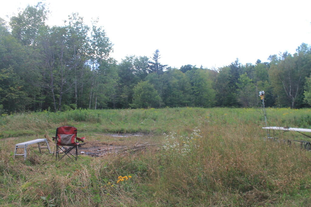
Fay’s Meadow: There are a few sites in an open meadow in Forest Dale. Please do not drive on the meadow because a farmer mows the hay from it. There is a stream for wading and fishing at the north end of the meadow.
Goshen Brook Road: There are a few campsites in and around an open area just beyond the turnaround at the very end of Forest Road 67 in Ripton.
Kettle Brook: A small meadow site at the end of Furnace Brook Road in Pittsford.
Michigan Brook Road: Forest Road 35 in Pittsfield provides many camping opportunities in the woods and along Michigan Brook. The road is not recommended for low clearance vehicles.
New HavenRiver: There are a few campsites next to the New Haven River at Emily Proctor and Cooley Glen trailhead, on Forest Road 201 in Lincoln.
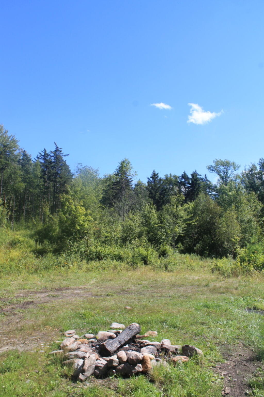
Romance Header: A large meadow campsite at the end of Forest Road 224 in Forest Dale. A stream lies to the southeast of the meadow.
Sparks Landing: There is one site in a small meadow on Forest Road 233 in Lincoln. There is good fishing in Sparks Brook, which lies just south of the meadow.
Steam Mill Clearing: There is a large open field on both sides of Forest Road 59 at the Skylight Pond Trailhead in Ripton.
Texas Gap: These old fields and side roads on Forest Road 39 in Hancock offer many camping opportunities.
White River & Gulf Brook Roads: Secluded camping, open fields, and beautiful views are offered from the abundance of primitive campsites found along Forest Roads 55 & 101 in Granville.
South Half of the Green Mountain National Forest
Note: You must zoom in to see individual roads on above interactive map. Campsite locations were added by hand-digitizing and are not exact.
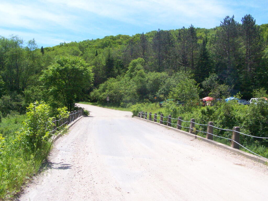
Branch Pond Road: Several sites on this road off of Kelley Stand offer good camping opportunities.
Forest Road 71: This forest road stretches from the old Somerset airfield to the Kelley Stand Road. Campsites can be found in various spots along the way, and along some of the forest roads leading off of Forest Road 71.
Forest Road 74: This forest road is a little less remote than other roadside camping opportunities. Off Vermont Route 9, it dead-ends a couple miles in. Campsites are found unevenly spaced along the way. This area fills up early as it’s one of most accessible.
Kelley Stand Road: Connects the towns of Arlington to West Wardsboro, traveling along an unpaved forest road. A handful of campsites are avaliable on this road, many of the sites along Roaring Brook are permanetly closed.
Old Job: Off Forest Road 30 there are a few camping opportunities; an open area along FR 30, and both an open field area and a site near Lake Brook at the end of FR 30.
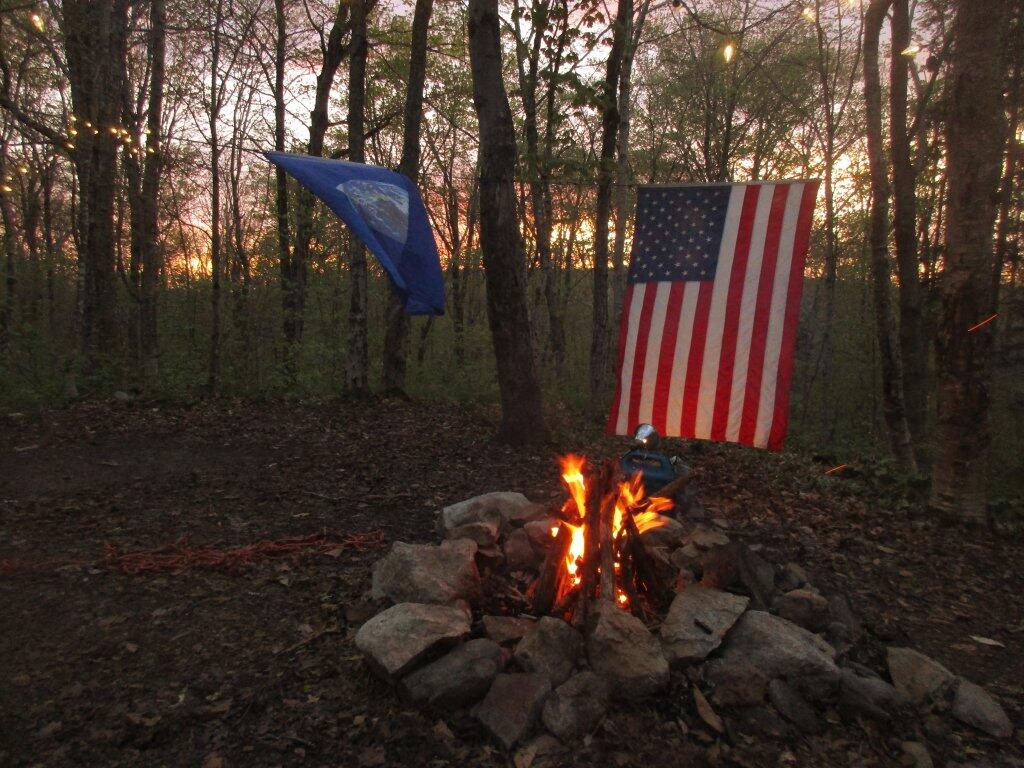
Somerset Airfield Campground is a small primitive campground along Forest Road 71. There is a pit-privy and fireplaces in this field camping area. Also popular is Castle Brook Road, near the Deerfield River. This area fills up early, and is known for rowdy crowds but is good if you have a big camper.
Taking a look at the assessed full-market values of homes in village of Middleburgh, and most are quite inexpensive at least in the village. Properties in flood plain are very inexpensive.
Often when people think about GIS and mapping, they think about it in a very scientific and professional concept. While science is an important to understanding our world, I think it’s kind of nice that I am able to look at things in an non-scientific and non-professional way, having learned my skills entirely by doing and working with the technology rather then through formal education. It allows me to see more of the art of what I am looking at, rather then being overly concern with the methods.