This past fall I hiked up Buck Mountain on a day when the fog was lifting. Not as clear as I had hoped, but still quite a nice little hike.
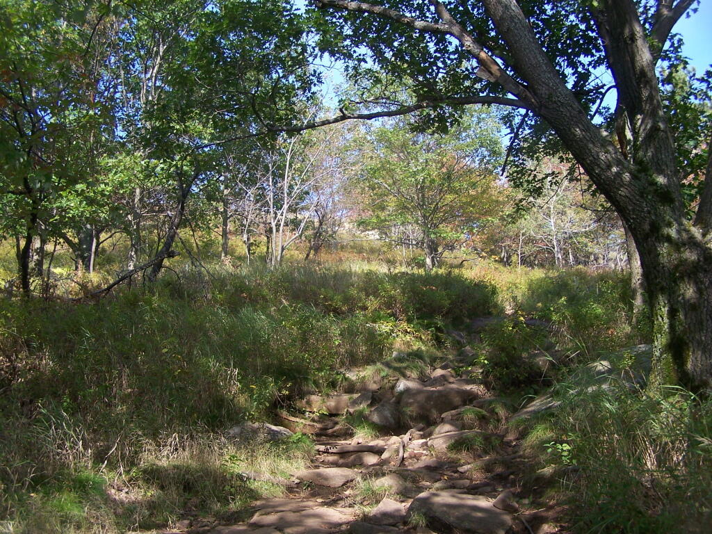
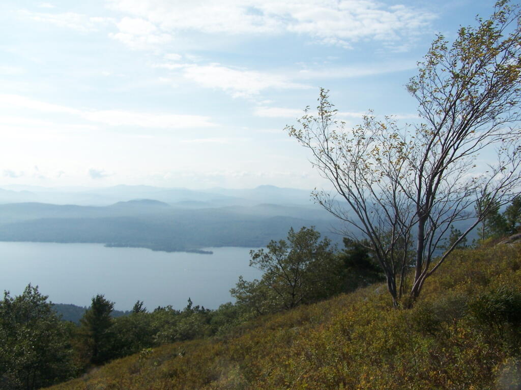
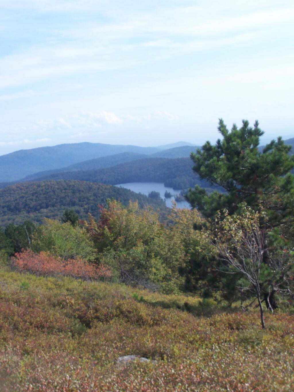
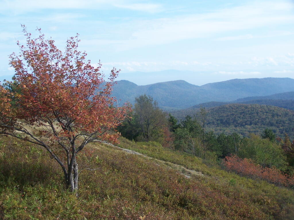
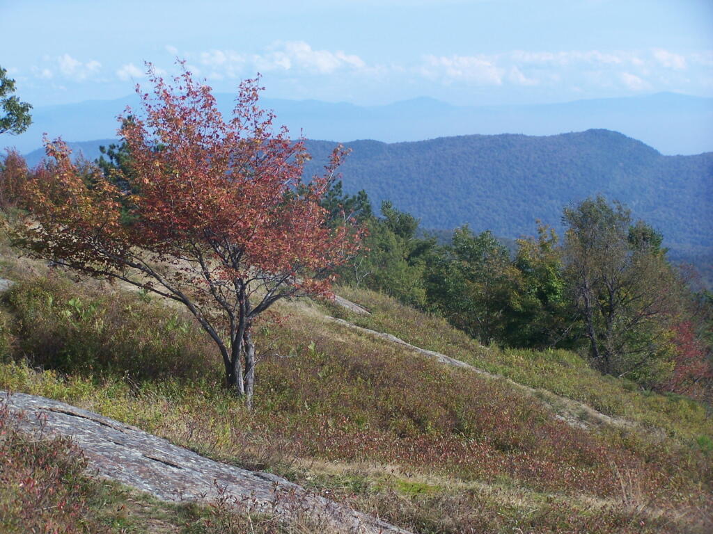
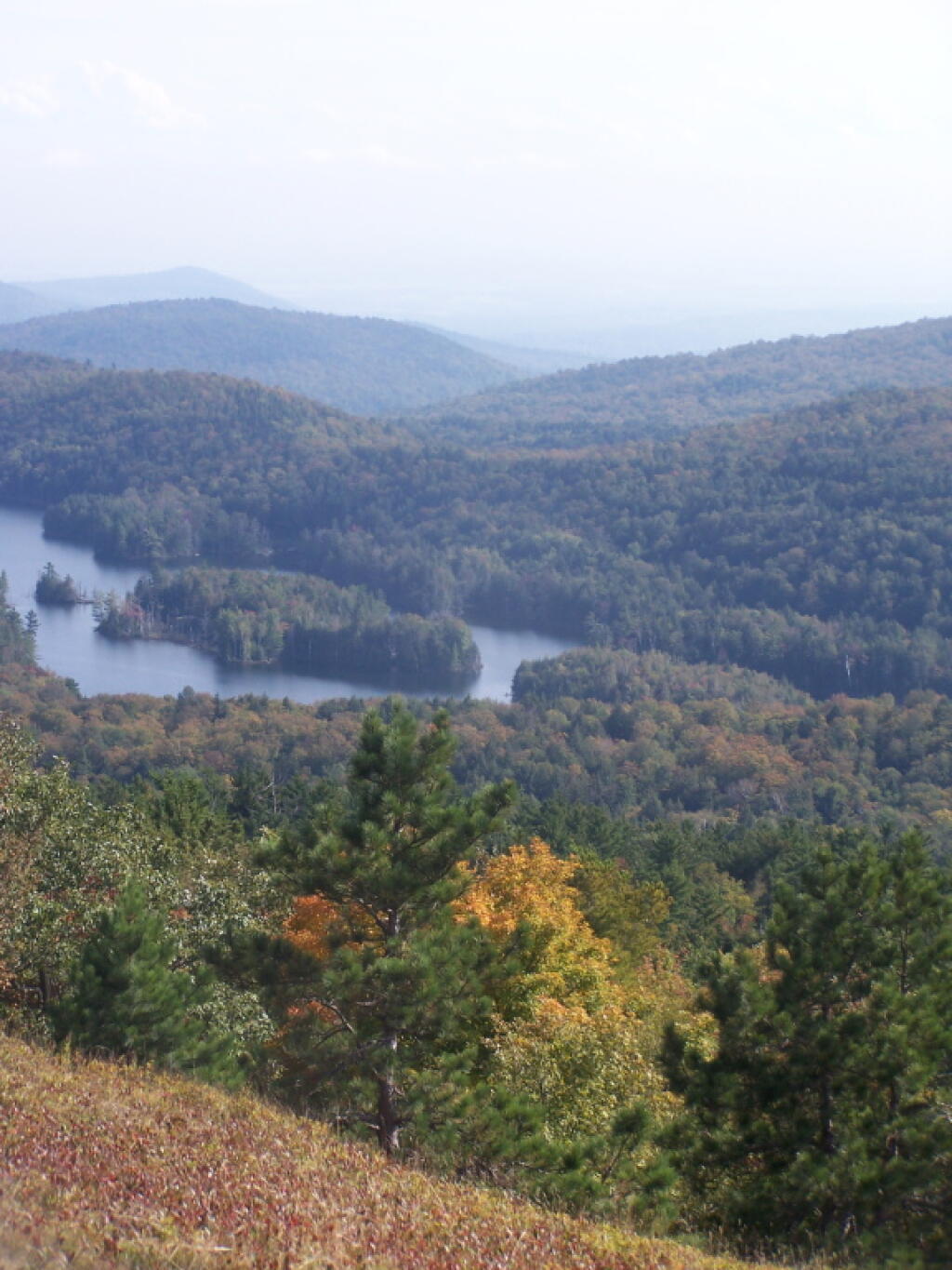
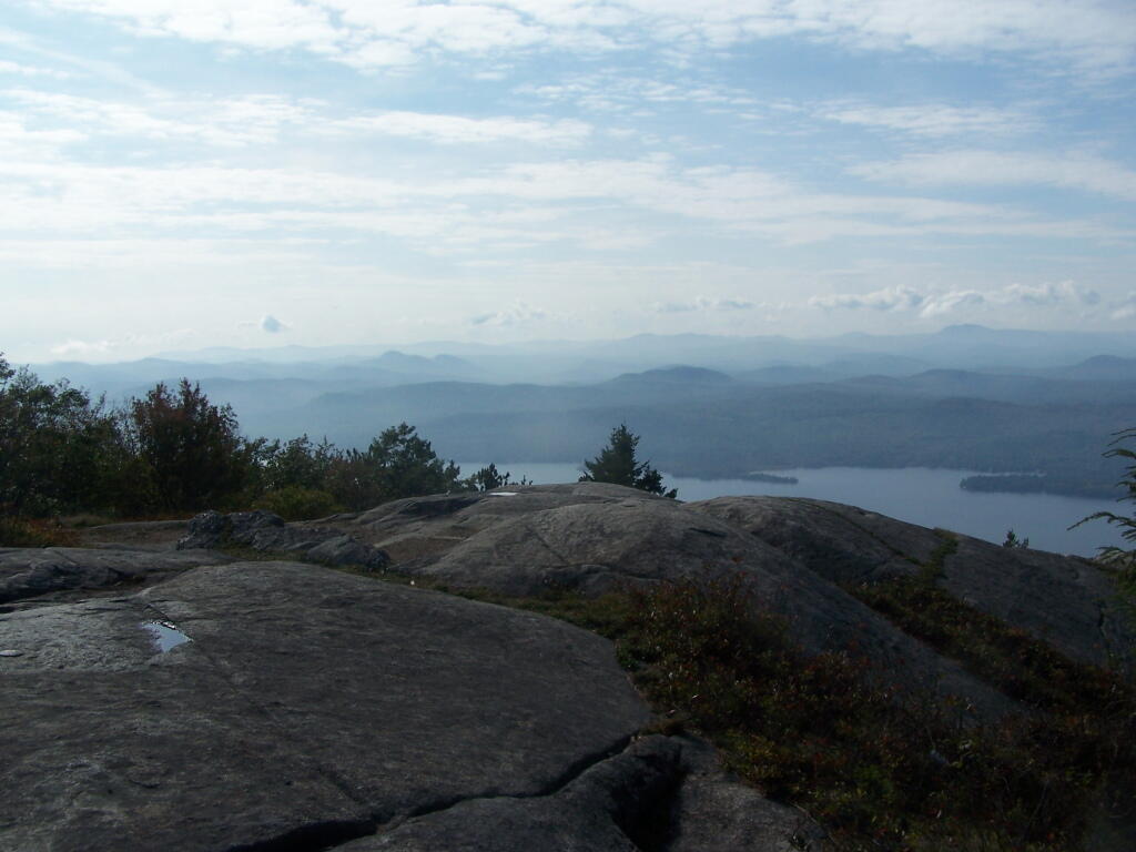
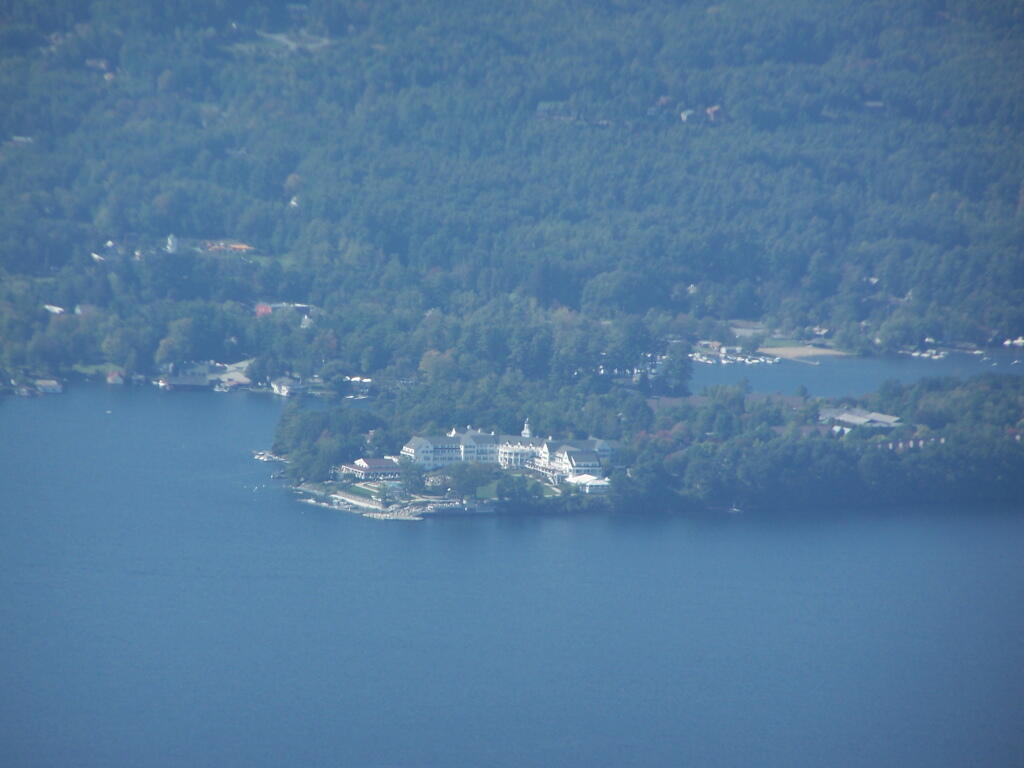
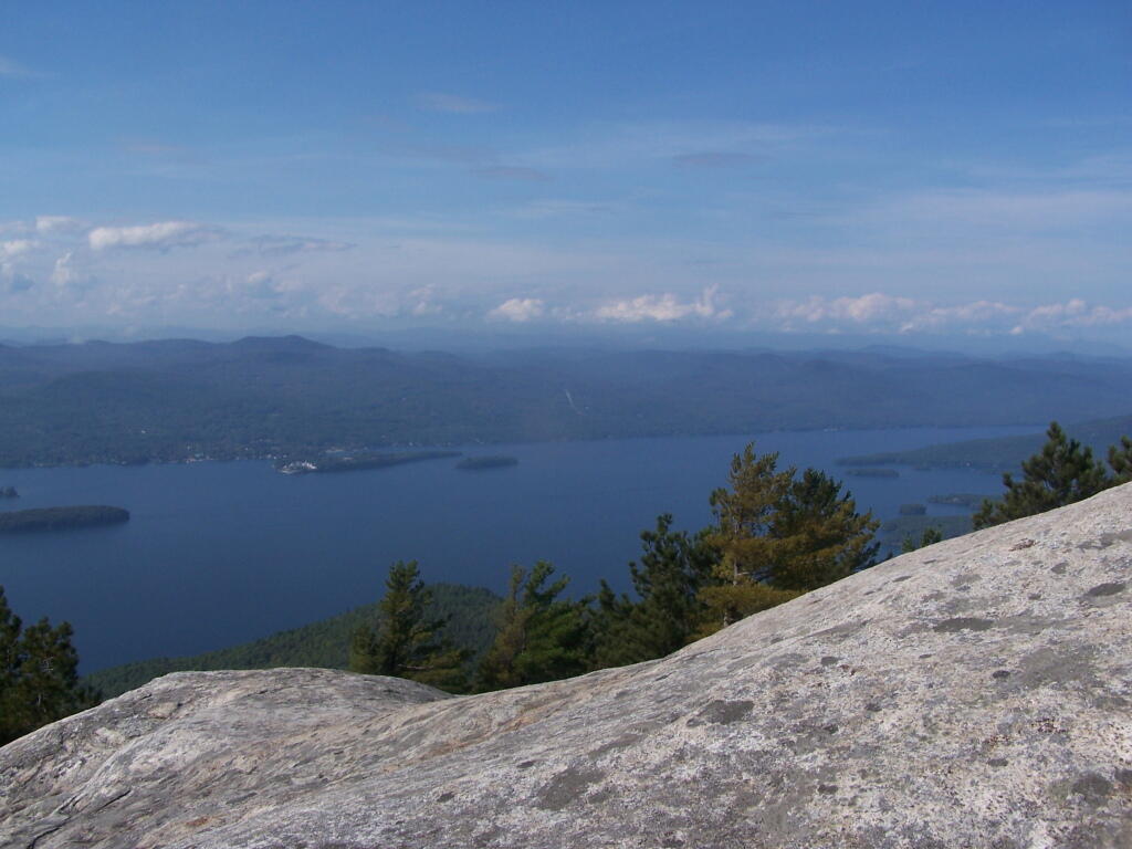
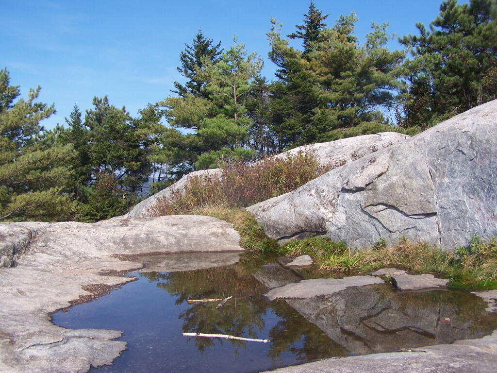
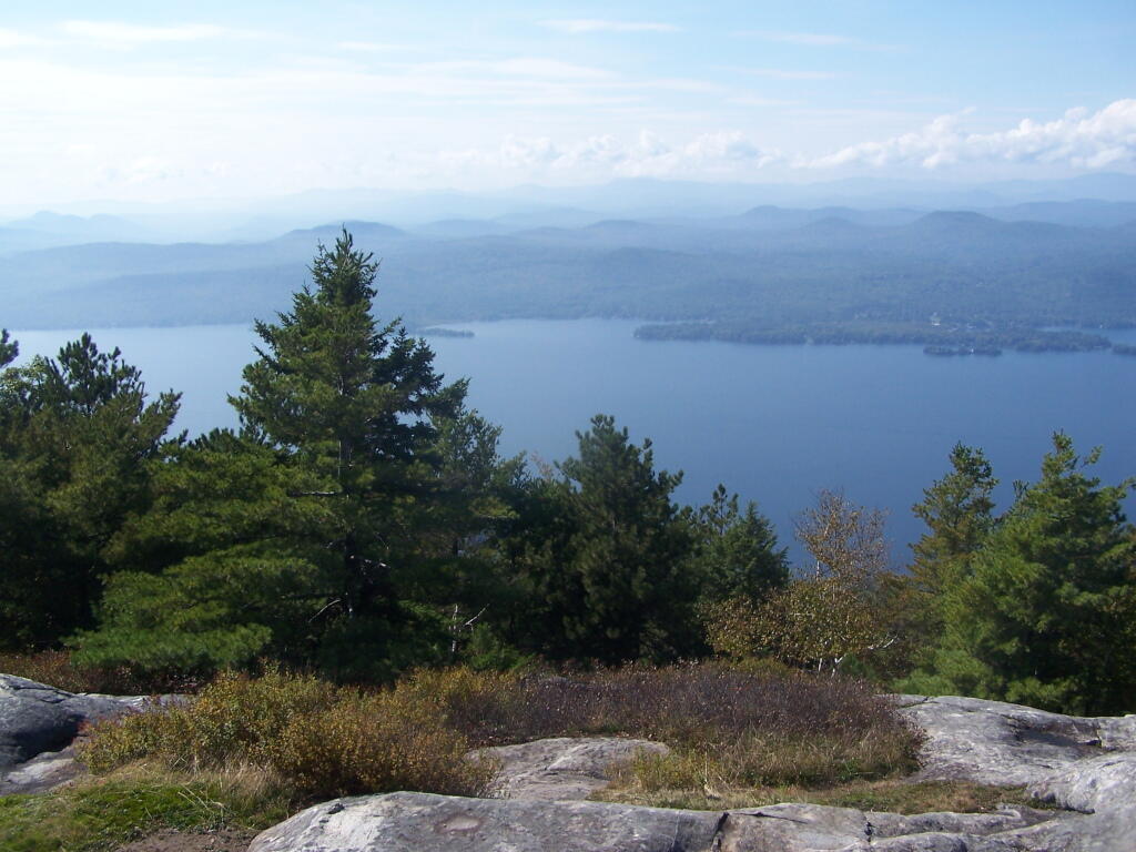
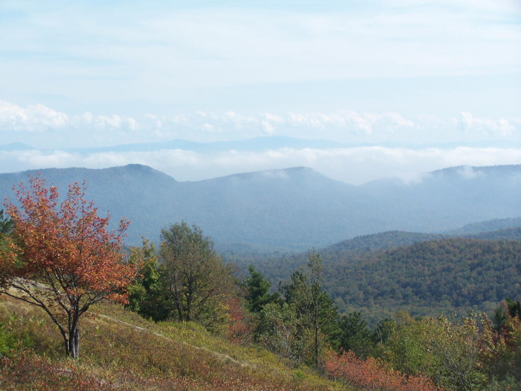
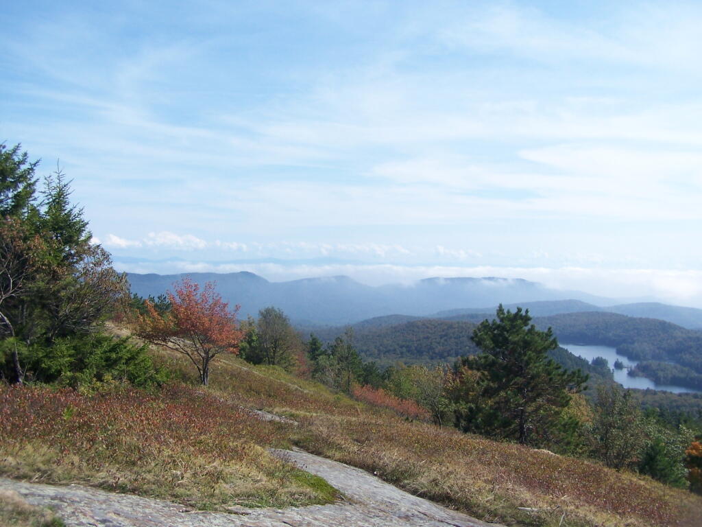
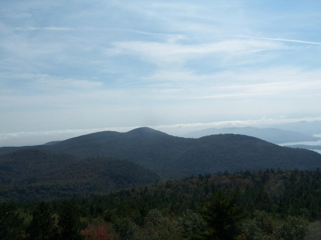
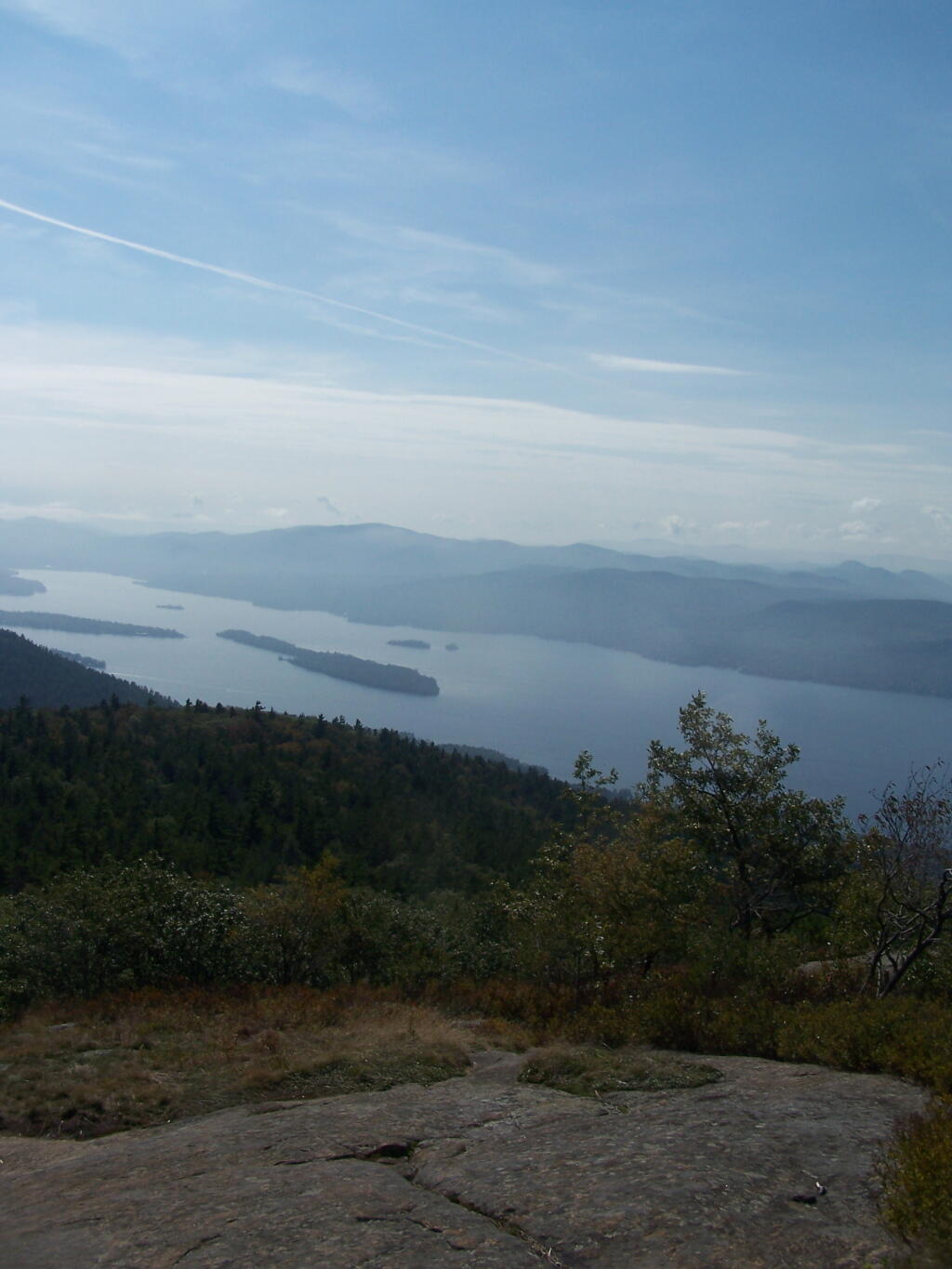
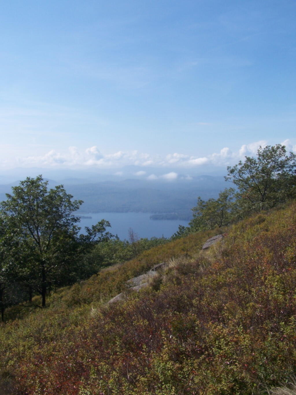
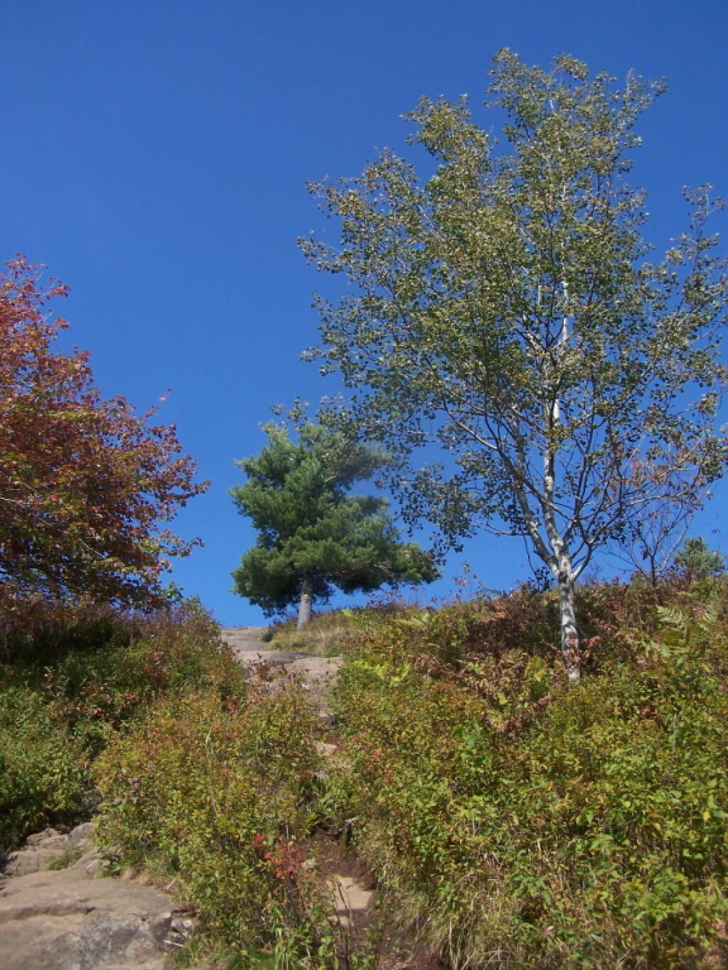
This past fall I hiked up Buck Mountain on a day when the fog was lifting. Not as clear as I had hoped, but still quite a nice little hike.
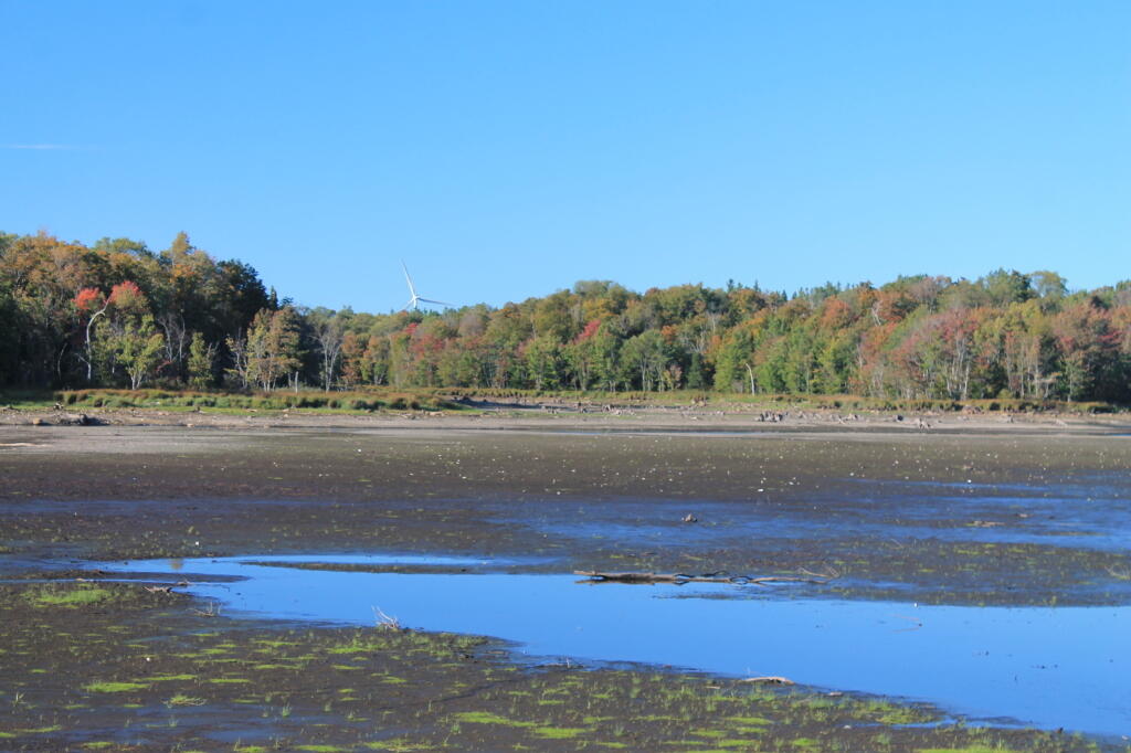
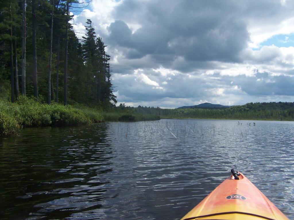
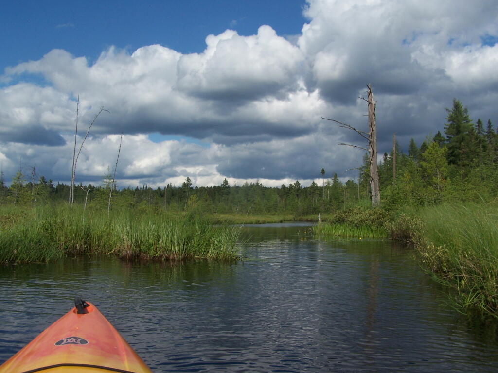
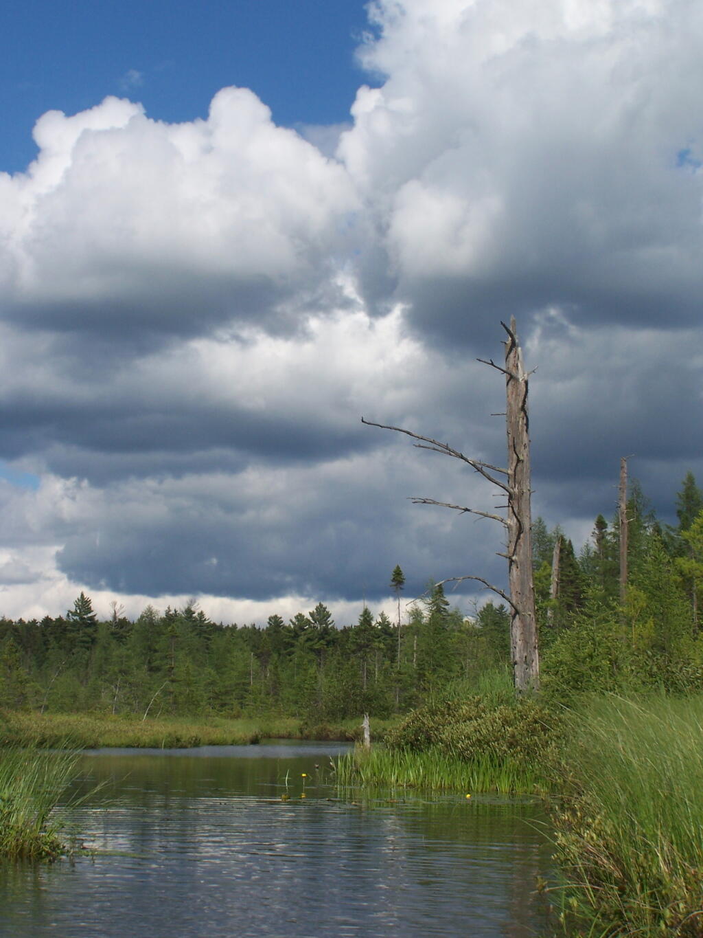
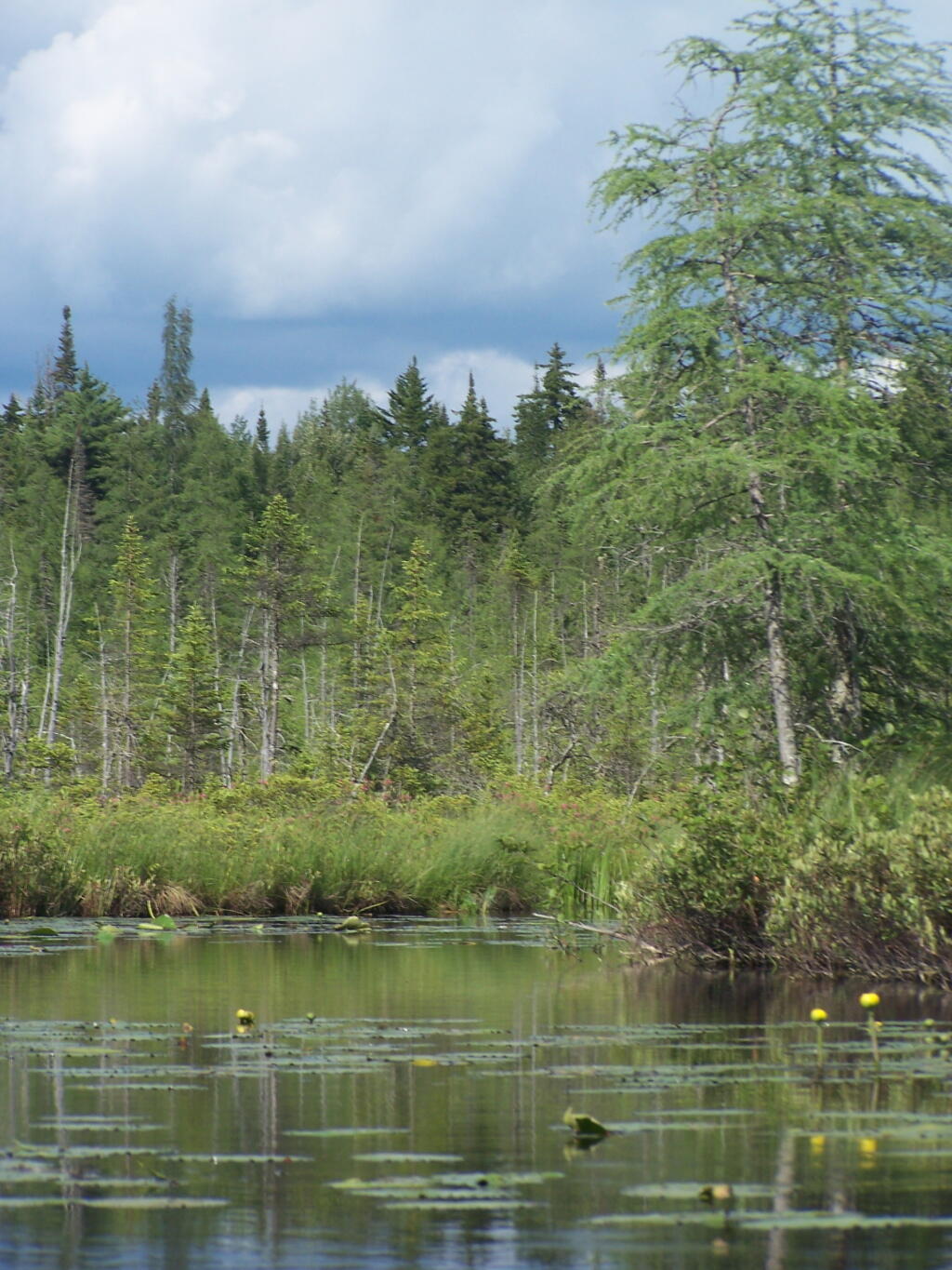
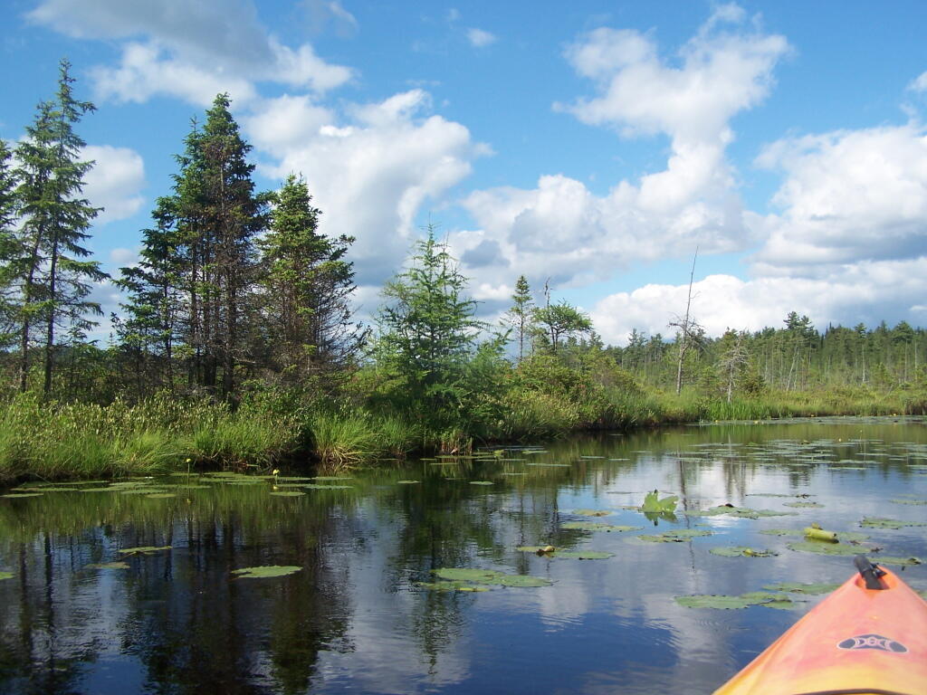
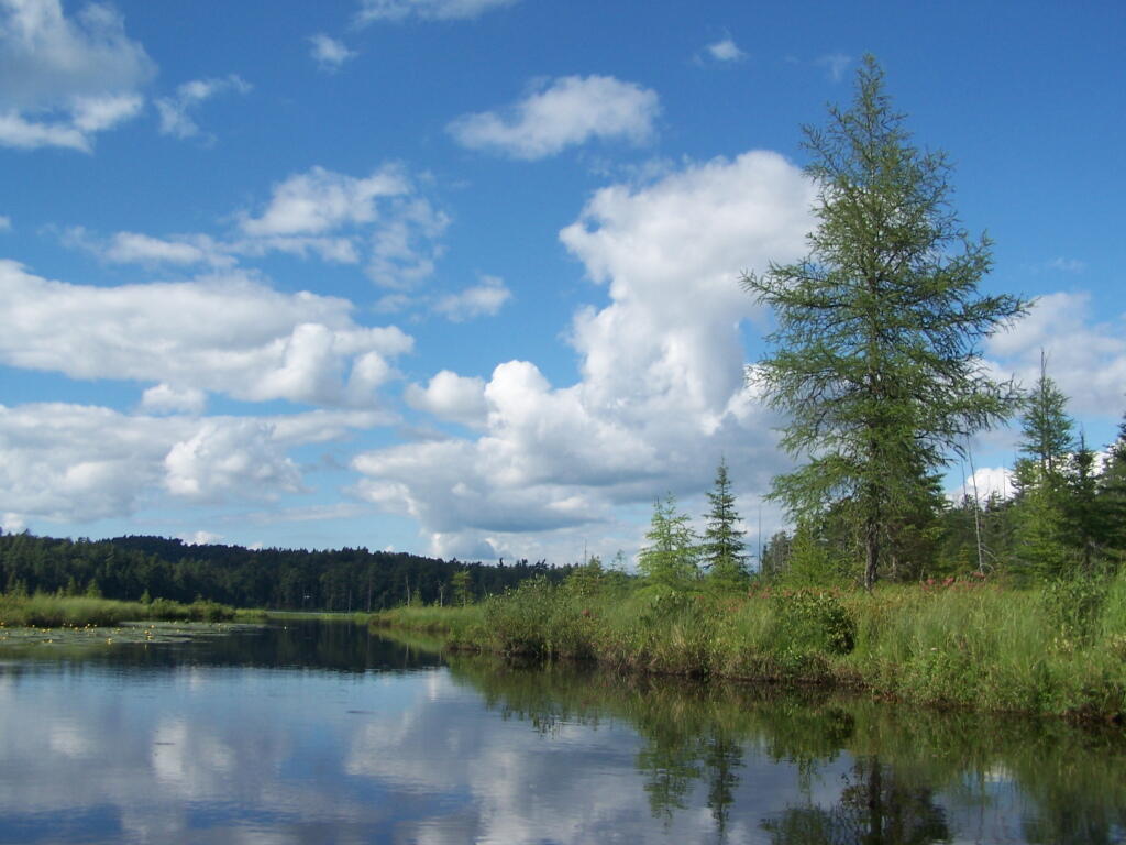
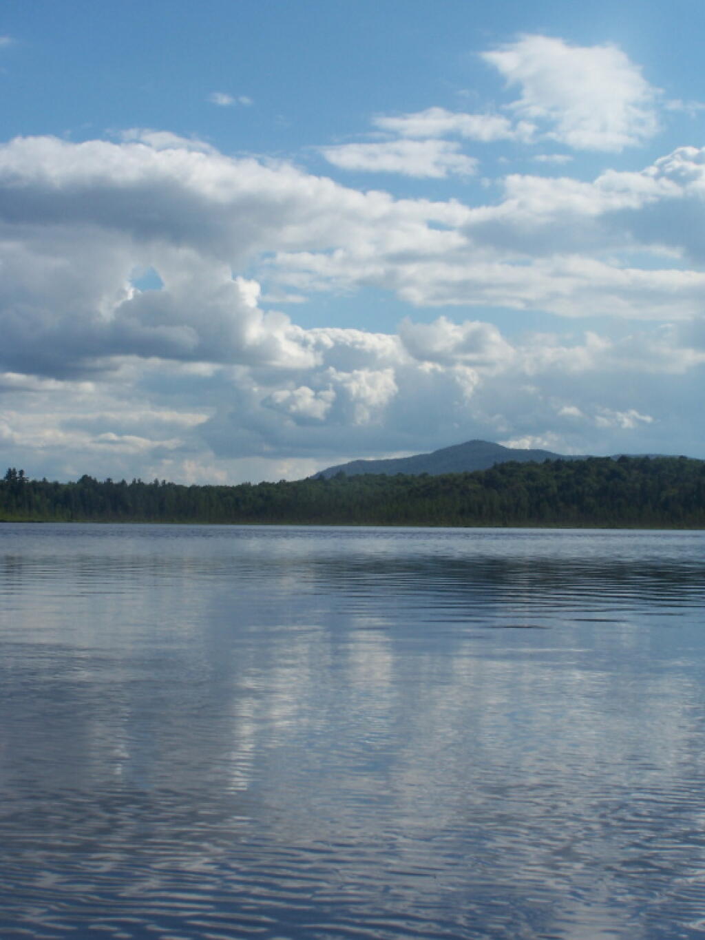
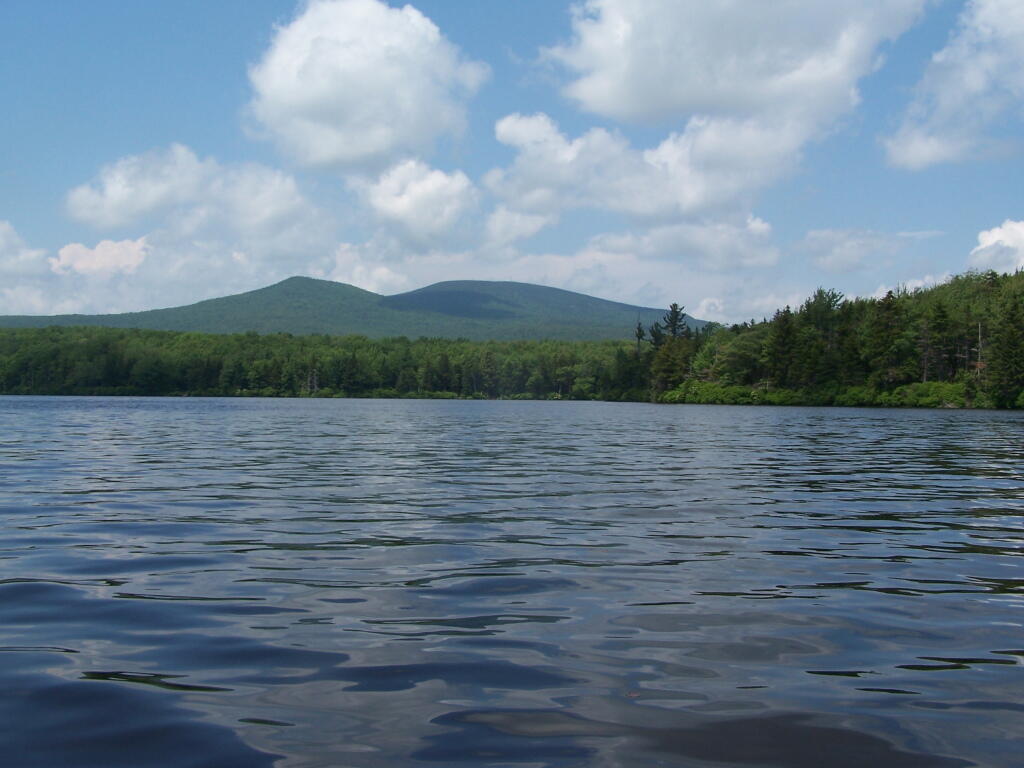
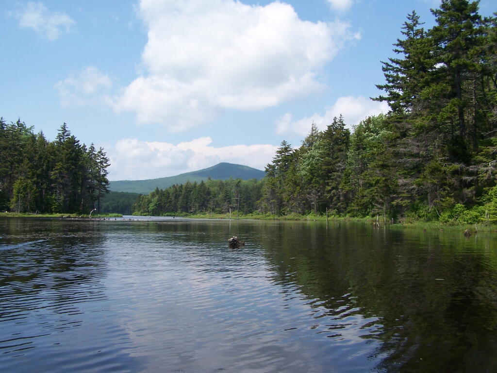
Barnum Pond, right behind the Adirondack Vistors Intreprative Center, offers some great views, and can be accessed for free from NY 30, one mile north of VIC and one mile south of Mountain Pond Camping Area. Click on the map below, to display a full-size version, perfect for printing and slapping in a plastic bag, to strap on your kayak.
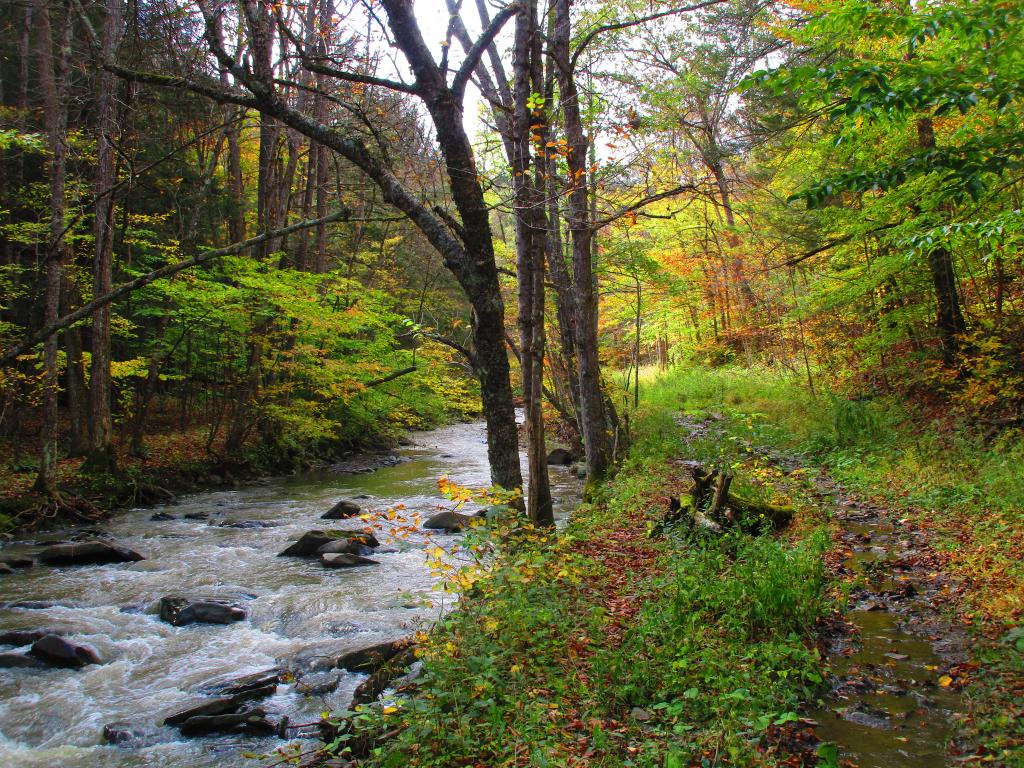
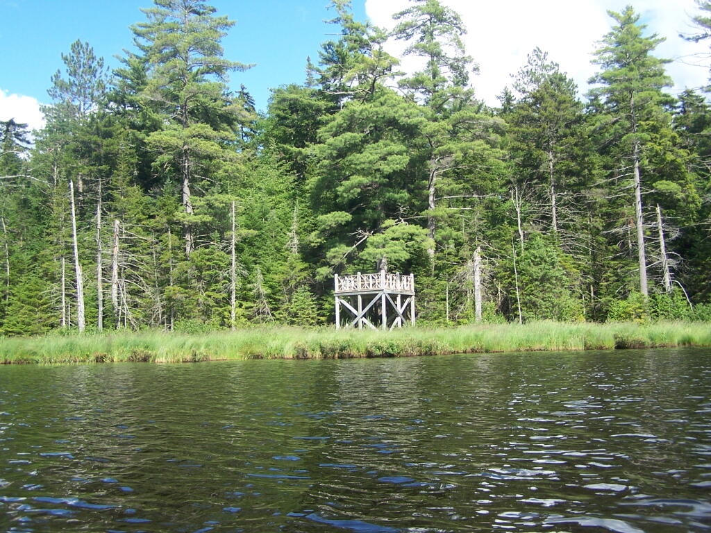
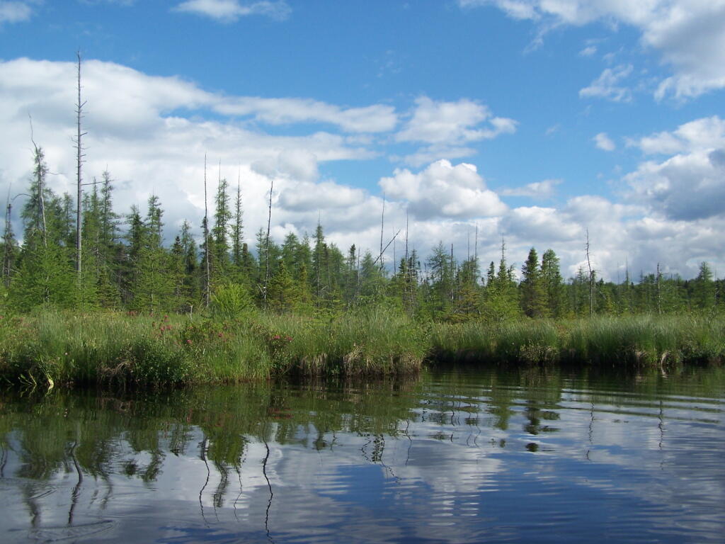
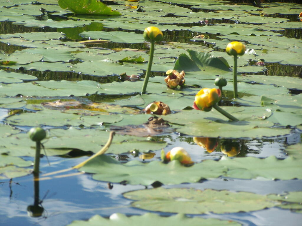
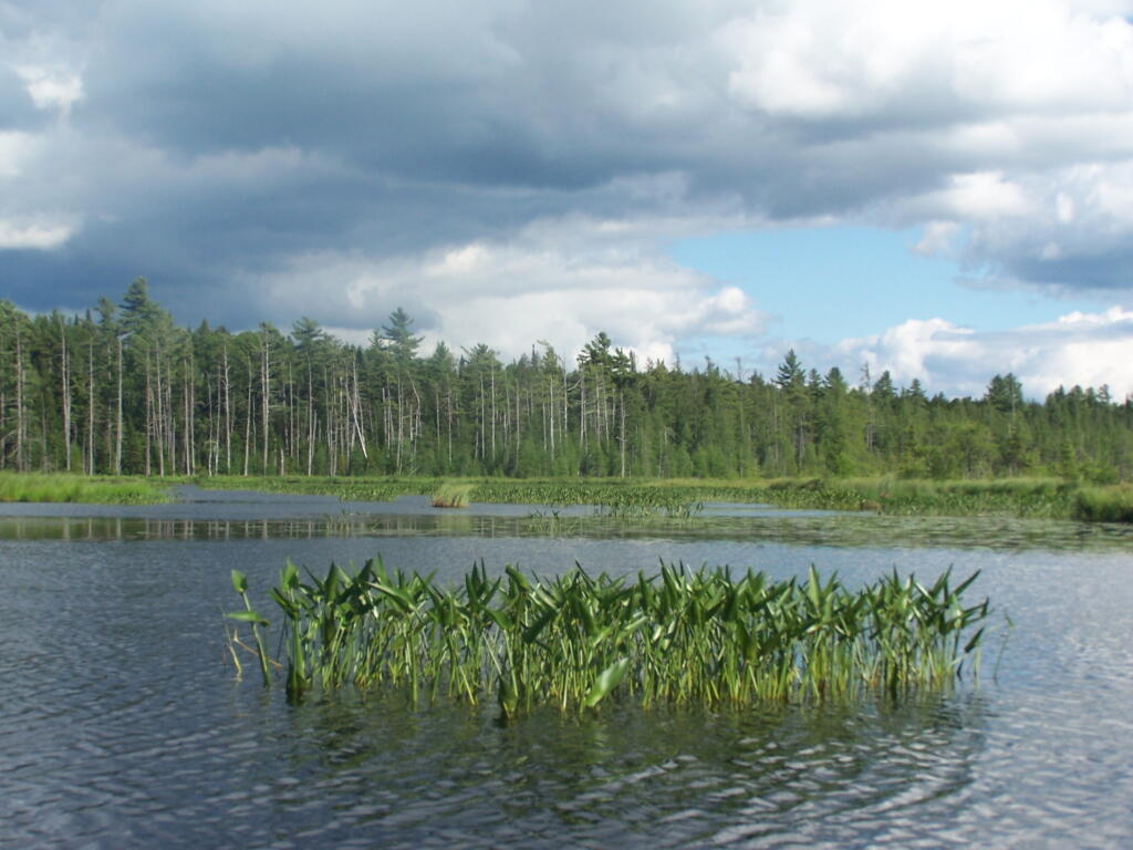
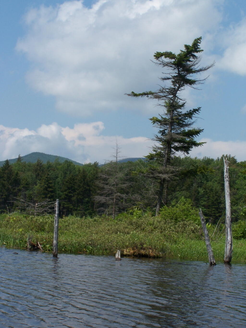
Here are some pictures I took while was paddling around this lake, proceeding from NY 30, along the Southern shore until I got to the Barnum Pond outlet, which you can continue on for about a mile until a beaver dam. You can portage around the beaver dam, if you choose, however a 1/2 mile below that is a series of man-made dams in Paul Smiths you must go around, to get down to Lower St Regis Lake.
If you visit here, consider camping at Mountain Pond.
From the east, probably the best way to get to Grout Pond is via Kelley Stand Road, a twisty one lane dirt road that heads east out of East Arlington in Vermont. Pay careful attention to this map, it’s easy to get lost in East Arlington or East Kansas. I know I ended up at Covered Bridge in Chiselville the first time I got there.
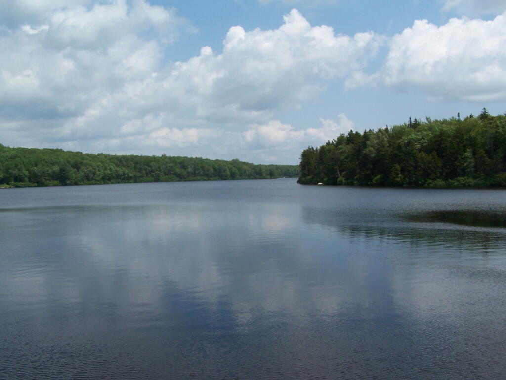
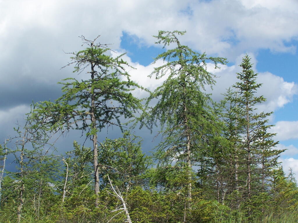
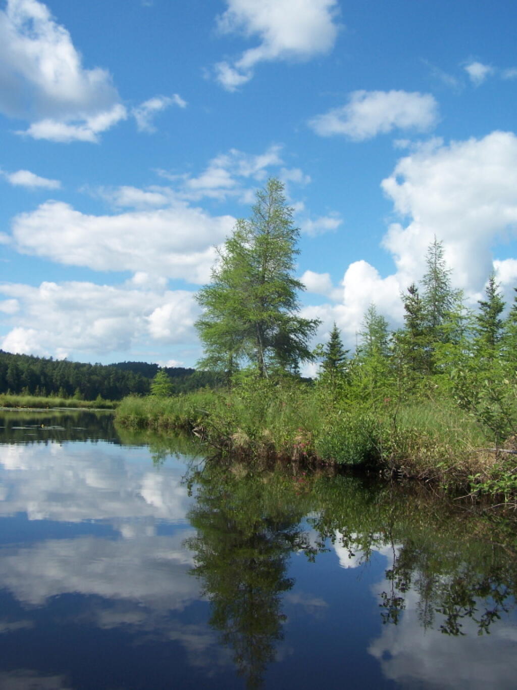
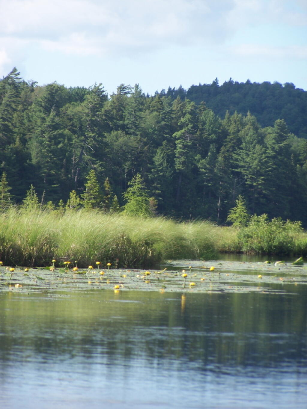
Grout pond isn’t the biggest in the world. If you want lots of open water, check out the Somerset Reservoir. This area, however offers either backpack-in camping along the east shore, or 25 drive-in campsites, in a primitive campground nearby. There is no charge to use this National Recreation Area. Other roadside campsites along Kelly Strand Road, FR 71, and FR 70. Forest Road 70’s campsites are particularly nice, and it’s a 1/4 mile portage down to Branch Pond (bring wheels).
The lake is very shallow and marshy in one. Supposedly good fishing if you have a Vermont State Fishing License.
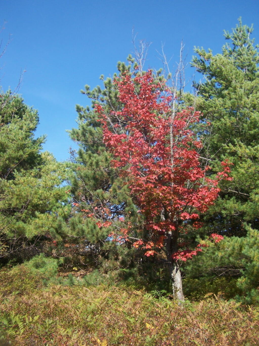
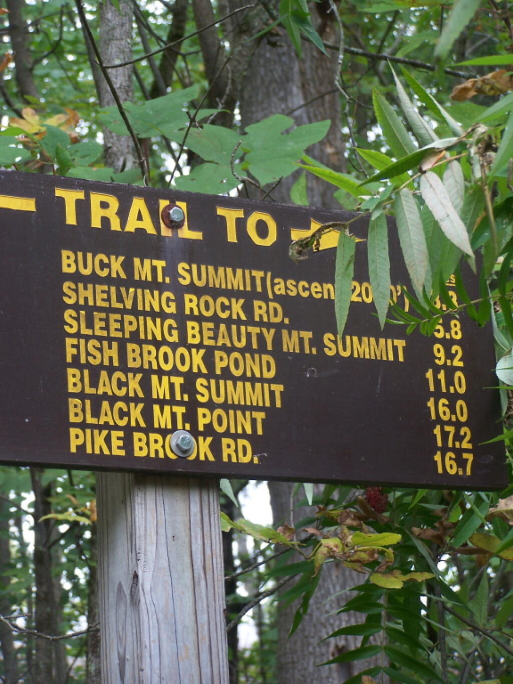
Last weekend, after hiking up to Slide Mountain, I decided to drive another 30 minutes west to Balsam Lake Mountain. This was the final fire tower in the five remaining trails in the Catskills.
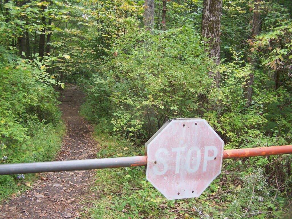
Across from the Dry Brook Parking Area is the blue trail heading south to the Balsam Lake Fire Tower. It is not well marked, but there is one sign that points across the lot, then this well worn sign at the start of the old woods road that leads to the fire tower.
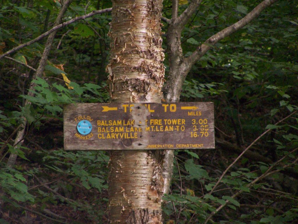
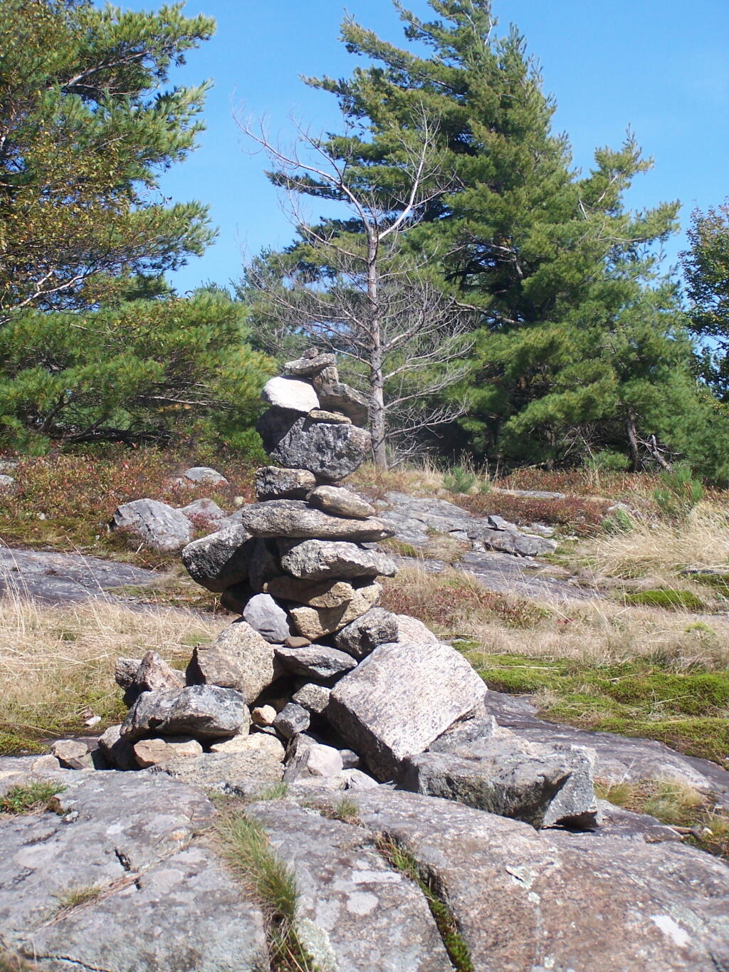
The first 2.25 miles of the trail runs entirely through private lands, and is heavily posted. There is also very few blue markers, so don’t be surpised until you reach the kisok that you feel you are on the wrong trail.
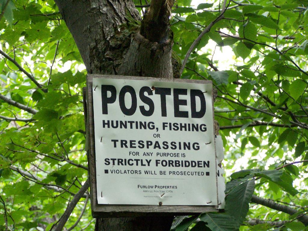
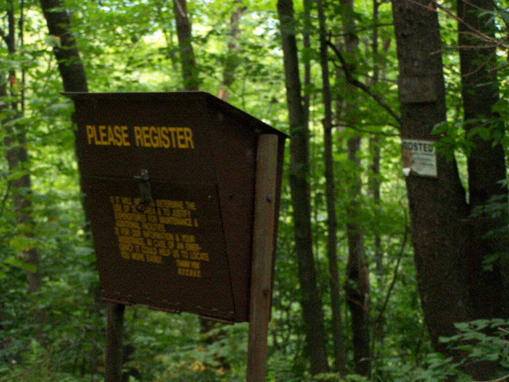
Seeing this was very re-assuring, as I signed my name into the book, and knew I was on the real trail. The kiosk is set about 1/4 mile back from the road. But if you’ve seen the first sign, your okay, as you’ll eventually reach the kiosk.
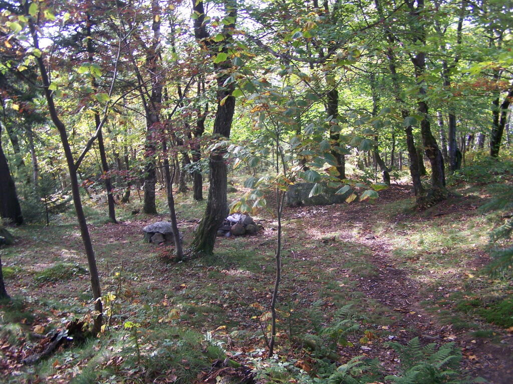
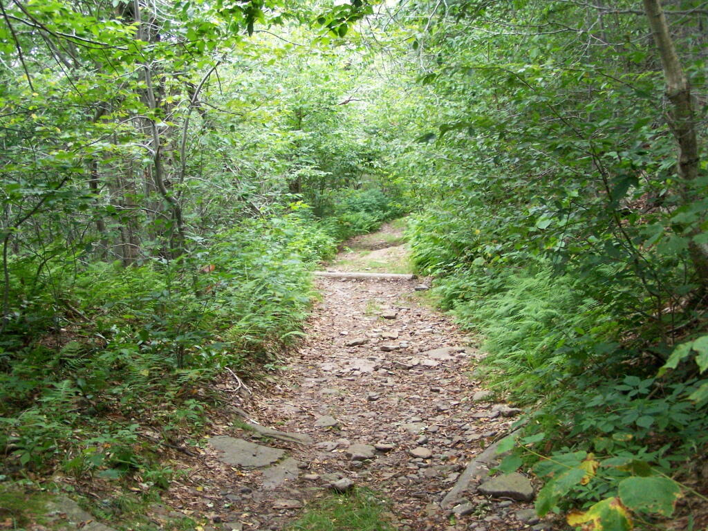
Here is a picture of the old woods road. When the tower was open, the Ranger could drive all the way up there. Today, you can technically drive in until you get to the start of the state land, although it would be rough without a pickup. This trail is not particularly steep.
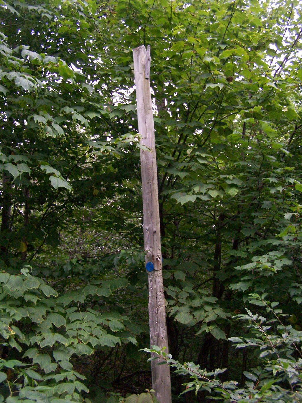
Along the trail is several old telephone polls, used to carry telegraph and/or telphone lines up to the way up it.
At 2.25 miles you reach the intersection of the blue and red trails, the red one that takes you to the tower. It might be only 3/4 miles to the tower, but you still have to go an additional 600 feet in elevation, on a trail with several moderately steep uphill.
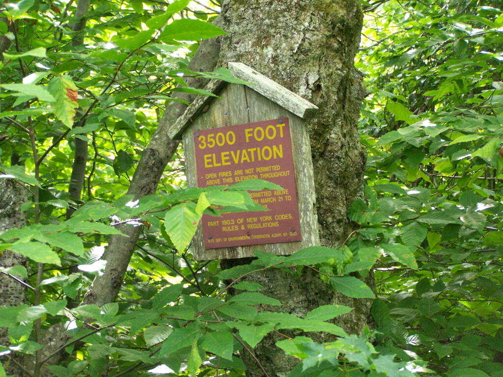
At 2.5 miles you reach the Balsam Lake State Forest, and about a minute later, you reach the 3,500 elevation mark.
You climb and you climb, and the trail opens up. You think your at the top when you here, but your not. Think about hiking for another 15 minutes.
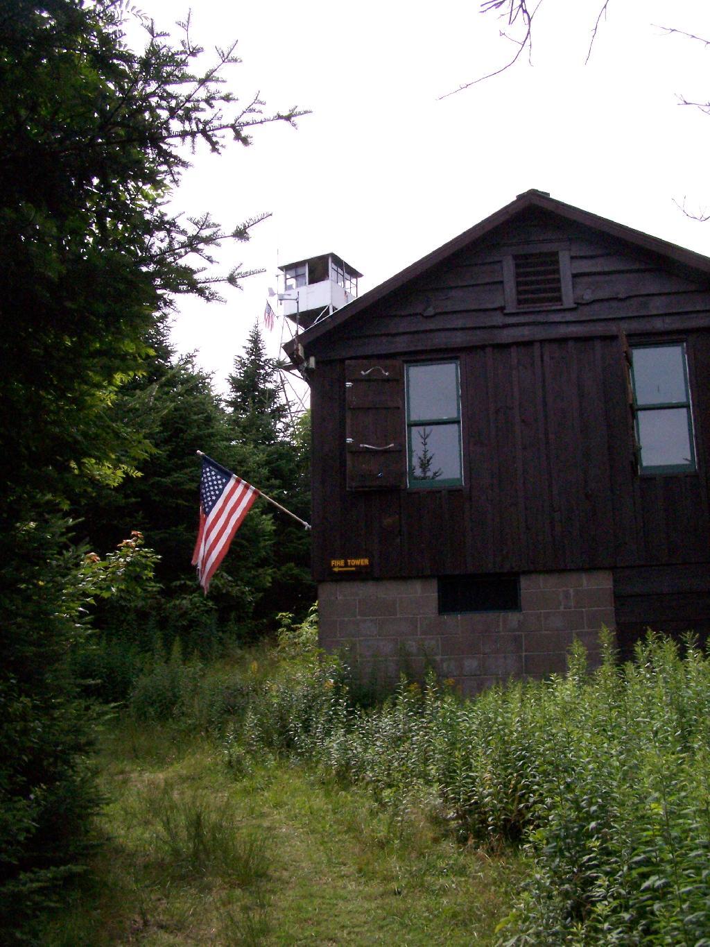
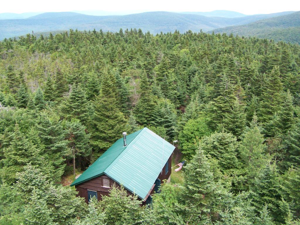
Finally, you see the Ranger’s station and the tower. This makes you happy, especially if you climbed Slide Mountain before this.
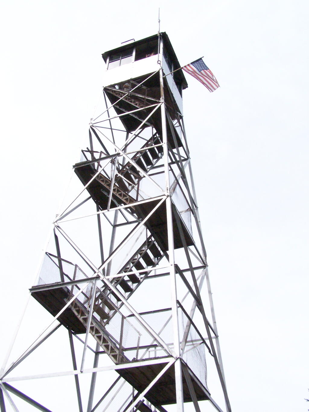
The fire tower is staffed on summer weekends, and the cab is open for inspection. At the Ranger’s cabin, there is historic posters from back in the day when the tower was staffed.
Here’s the tower against the very grey sky.
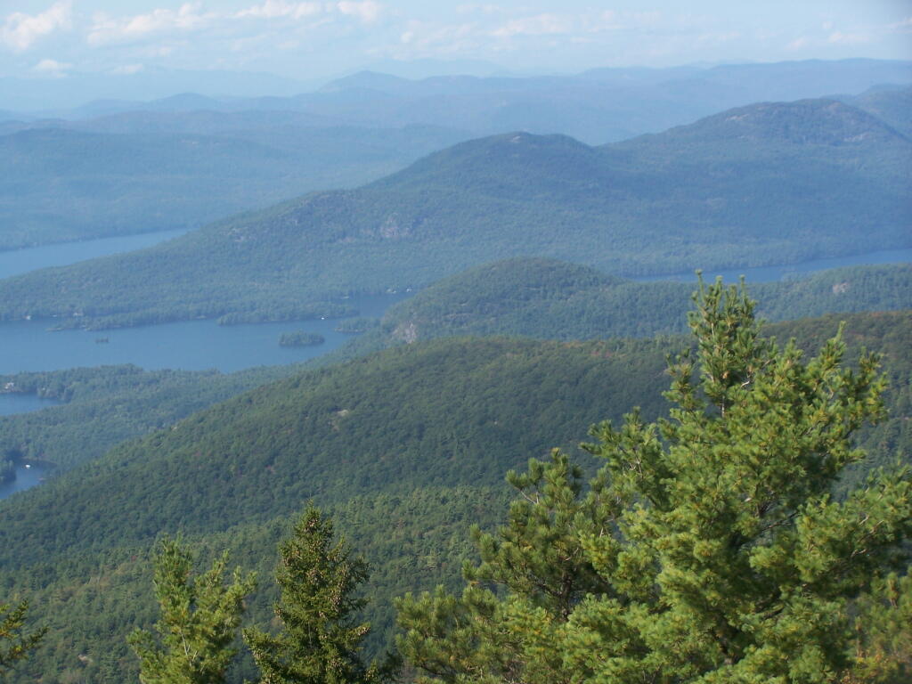
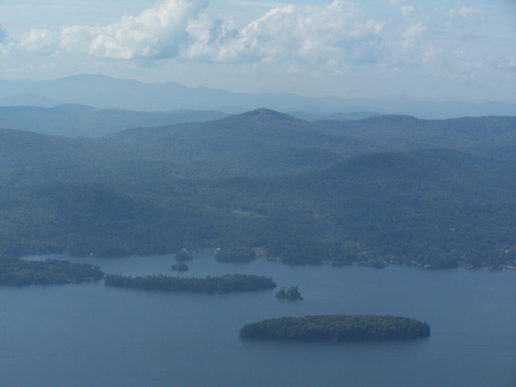
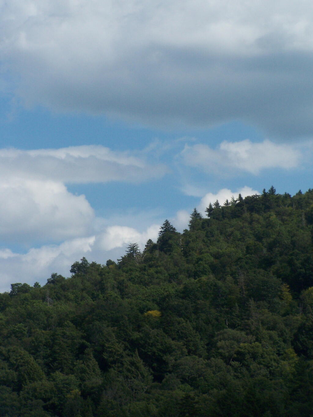
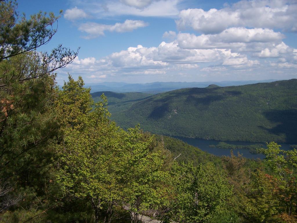
There are some views from the tower, but not super interesting or exciting. Maybe if it was clearer, with deep blue skies it would be a lot purtier.
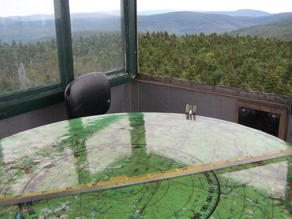
Here is the inside of the cab of the tower. There is a fixed map to help the ranger in the past observe where a forest fire was, and then call down to the firefighters.
Here’s the Ranger’s Cabin from up top in the tower.
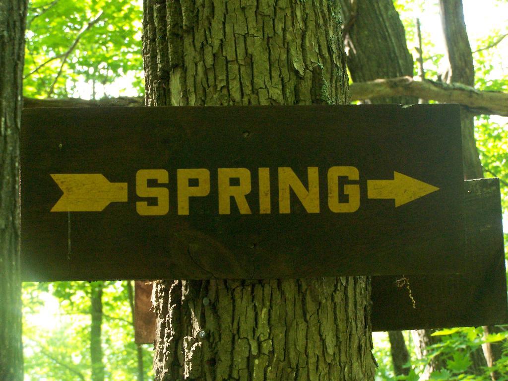
About 200 feet lower, and a 1/4 mile to the south, there is a spring. Also nearby is a lean-to, that is popular on the weekends.
The fire tower steps.
Here is a map of the hike that I took.
View Hikes of 2009 in a larger map
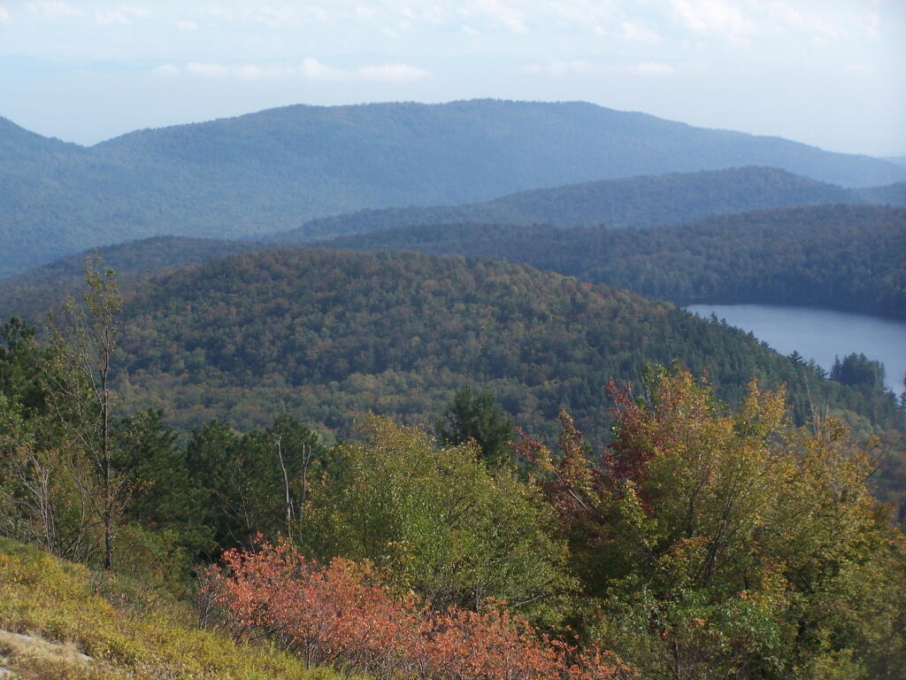
Plateau Mountain, directly east of Hunter Mountain is one of the Catskill 3500 ft Mountains, but rarely gets much attention. It has a good trail up it, a bit a fairly steep one, that has wonderful southerly views, out towards Edgewood and many Catskill Peaks. It climbs about 1,900 feet in 1.8 miles — a good 20% grade, including several relatively flat places.
Once you reach the top, there is one section where you have to climb up hands and knees up two 4′ steps. Beyond that the trail is essentially flat for the next two miles. There some decent views over Tannersville and of the TriMount region of the Catskills. From there for the next mile and a half there are no views, as the trail wanders around properly lines until it reaches the easterly descent into Mink Hollow.
Not a lot to see once on top of the mountain, long and sprawling with dense forests. Regardless the various views are nice off this mountain, and it’s frequently overlooked as a mountain to hike in the Catskills.
It was a nice hike with some truly beautiful weather. The only mistake I made is I did not bring enough water. I was through 2 liters of water before I knew it. Still I conserved water and made it down safely by about 2 PM (I started up the mountain at 7:45 AM).
Be sure to see the Central Catskills Photos, where many are from Plateau Mountain.
Hikers – Devils Tombstone Parking Area
Green Line – Plateau Mountain Trail
Balloons – Various views from Plateau Mountain