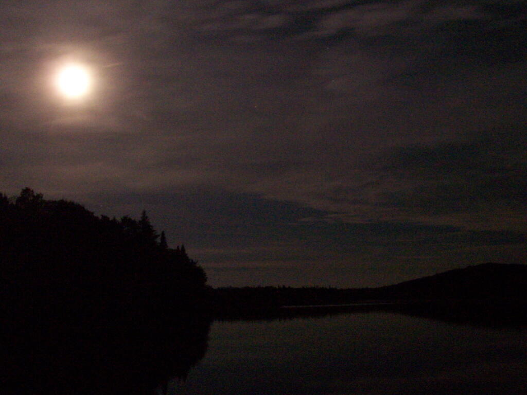
The other night around quarter to midnight, I walked out across Wakely Dam at the Cedar River Flow in the Moose River Plains of Adirondack Mountains. With a new moon, I expected to see very dark skies with good views of the stars, and little light pollution in the distance.
While the stars were clear compared to any place around Albany, their was in the distance, across the Moose River Plains and mountains of the West Canada Wilderness, a very distinct warm color light, from the street lights along the hamlets that dot the Fulton Chain of Lakes — Old Forge, Eagle Bay, Inlet, etc. All of these hamlets are 30 to 50 miles away, and due to Wilderness and Forest Preserve, it’s unlikely to be from any source nearer.
Most of the light I saw in the sky probably was from street lights, parking lot lights, exterior building lights on lodges and businesses alike along the Fulton Chain of Lakes. It probably would not have been noticable in a more urbanized area, but due to the fact I was in wilderness and almost complete darkness, it shown brightly across the sky.
It’s unfortunate that it disturbs the views of the stars, despite my remoteness. It is much more unfortunate to think of the energy waste it represents. All those lights are supposed to be lighting a section of street, parking lots, deck, or some specific other purpose. They are not intended to be lighting sky or sending light 50 miles away to an observer standing on the Wakely Dam.
That light did not come from some free source. It came from a power plant that fed electricity in our state-wide electrical grid and sent a small fraction all the way up to the hamelts along the Fulton Chain of Lakes.
While some will argue that their is excess electricity in grid at night or that most of the power locally is generated by hydropower, the reality is electricity on the grid is fungible, and one unit of hydropower here could be used elsewheres to offset the use of coal or natural gas. Even in low energy use times, the grid still relies on a lot of dirty and polluting fossil fuels.
So I ask myself, why is a hamlet 50 miles away, sending energy in the form of light into wilderness? A lot has to do with technological inefficency that wastes energy, even more has to do with energy being so cheap, that it’s affordable to light up lands 50 miles away with wasted energy. Yet, it seems like such a waste.
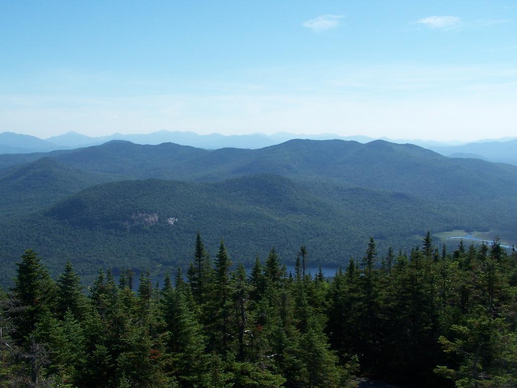
A breakdown of land uses of New York State looks roughly like this:
60% forested lands
24% farmed
8% residential uses
6% water bodies
1% industrial uses
1% commercial uses
Not that you would necessarily realize that from looking at a map or even driving on a highway system. Interstates have put a state of mind in humans that the only places that really exist are those nearby the interstate and that have formal exits on the controlled-access highway. There are actually places between Albany and Syracuse, not that you would know from driving except maybe if you studied the exit signs.
In these places, little towns and cities people live. Many of these areas are highly dependent on various industries or government, but they continue to exist. Lots of areas are farmed and lived on, but they may not appear in one’s psychological view of the world. Particularly in Western New York, it seems that the land looks a lot more closed in then it really, with road frontage dominated by residential housing, that overlooks vast quantities of land that are actively farmed or are forested.
There is a lot of New York that exists outside of the cities, on back roads, rarely explored except by the locals. There are too many back roads for one ever to see in a life time, but it’s important to see at least part of the landscape not on the main street.