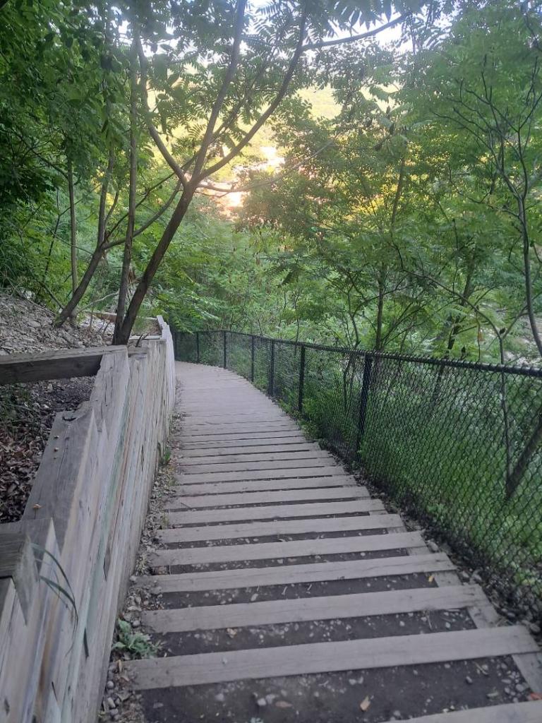
North Rim Stairs Andy | July 31, 2026 Friday July 31, 2026 — Watkins Glen State Park — Woodhull State Forest 🗺
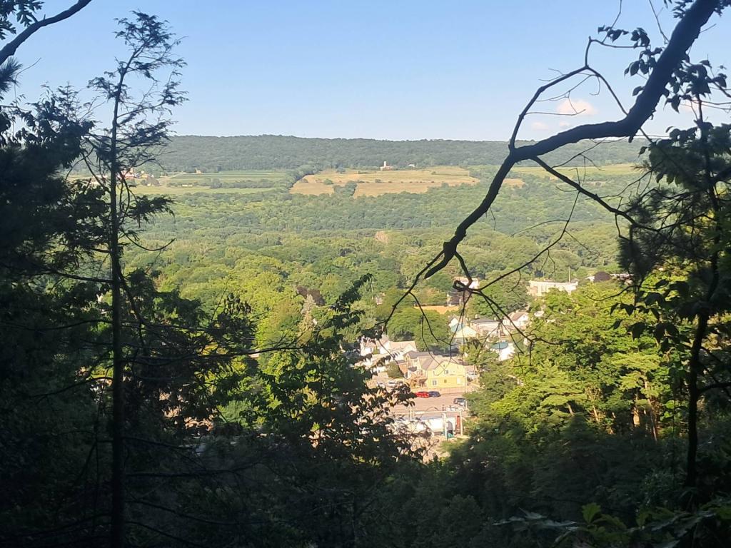
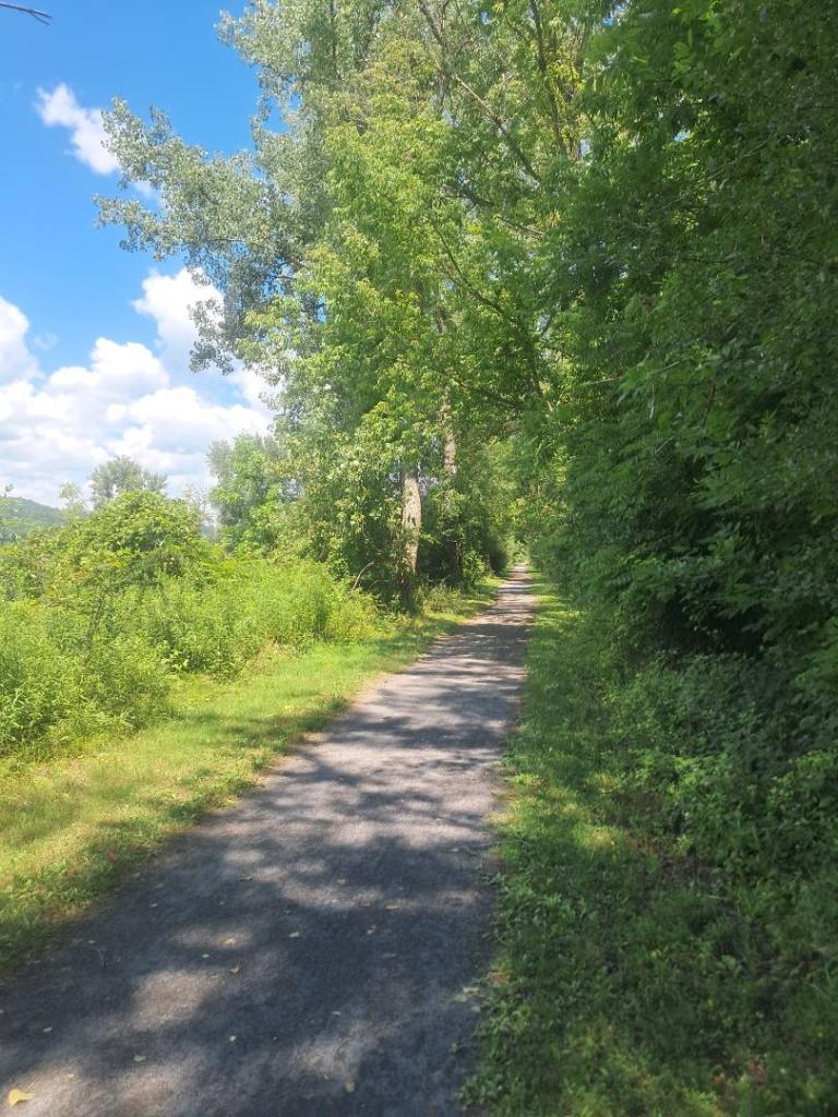
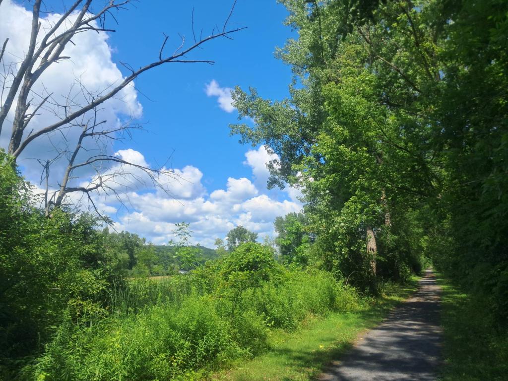
Cliff Farms Andy | July 31, 2026 Friday July 31, 2026 — Watkins Glen State Park — Woodhull State Forest 🗺