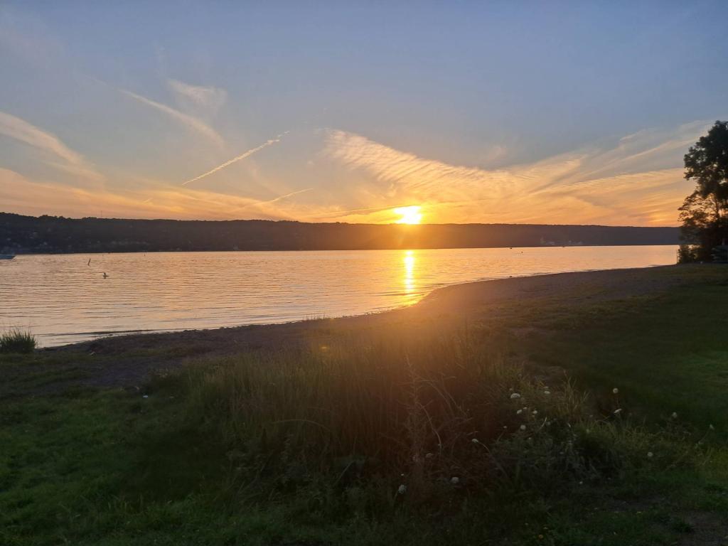
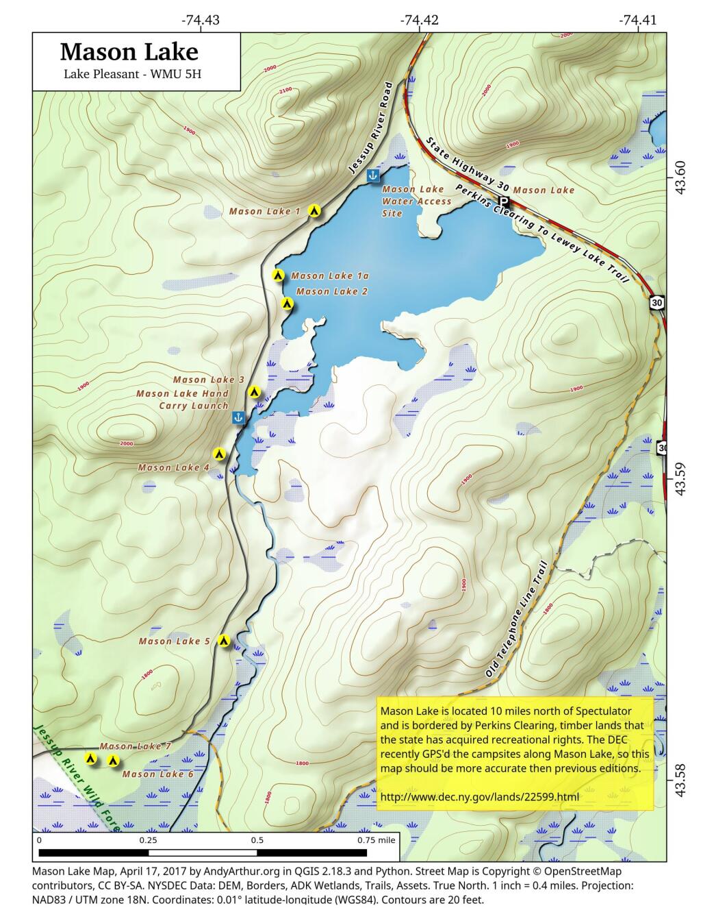
Catskill Park Elevation

This interactive map shows the elevation of the Catskill Park, broken up into 500 foot intervals. The Catskill Park ranges from a portion near Kingston that is less then 500 feet above sea level to the high peaks region where a few weeks exceed 4,000 feet.

Data Source: Digital Elevation Models created by NYSDOT, converted to ranges using Reclassify by Table, then Polygonize Tool, then simplified using v.generalize.

Reeds Pond

Located at the intersection of Farr Road and North Lake Road, this lake is near the Black River, about 10 miles south of South Lake.

It was supposed to be a tax and border bill. It could also hand Trump vast new executive powers. – POLITICO

It was supposed to be a tax and border bill. It could also hand Trump vast new executive powers. – POLITICO

But a key provision included in the bill would grant Trump sweeping powers to erase existing federal regulations from the books. It would task federal agencies with submitting portions of their rules to Congress for approval over a five-year period. Absent that approval, the rules would cease to have effect β€” in essence, fast-tracking Trump’s deregulatory agenda.